Elevation: 1,244m
Distance: 13.20km
Total Time: 6 hours 12 minutes
Date: March 7th, 2021
Following a successful weekend summit of Elk Mountain and Mount Thurston, I was hoping to get out towards Chilliwack Lake again for the upcoming weekend. The previous weekend had been my first exposure to the area and I couldn’t believe how great the views were and how many established routes had been created. This time, I had my friends Laura and Megan (from Evans Peak) joining along as well as Jacob from our last trip.
I was initially set on exploring further South across Chilliwack River for a slight change in scenery. My goal was to take us to a set of unofficial peaks known as “Windy Knob” and “Old Baldy” on the way to Church Mountain; which did have official status. Unfortunately, the coming weekend was calling for considerable avalanche danger in the alpine on all aspects with glide slabs being a problem in the South where Church Mountain resides. I had a look at the satellite imagery, topographic maps and previous trip reports and realized there was a very steep 100m+ grassy slope standing between “Old Baldy” and Church Mountain. Given the conditions, we bailed on this goal and made the decision last minute to try Mount Mercer.
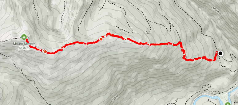
Mount Mercer is a 1704m peak that makes up the final named summit along the same ridge that Mount Thurston and Elk Mountain stand. Previous trip reports showed no real avalanche terrain and it’s a much less traveled route, so we’d most likely have the summit to ourselves (along with all the trail breaking work). With the new goal in mind, we agreed to meet in Vancouver for 8:30am where Laura would take us down in her car the rest of the way.
On the day of I was running a bit behind, as usual, but made it the meeting spot for 8:45am and we were off by 9:00am. We arrived at the trail head around 10:30am. The route on AllTrails called for a start at the turn off to Chipmunk Creek FSR, however the road was clear of snow and so we drove up all the way to the ATV track turn off. This saved us about 700m each way on the trip, plus 200m of elevation gain. Highly recommend having the GPS open when driving up as you may miss the start of the ATV track/decommissioned FSR.
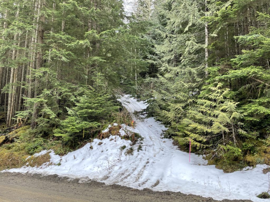
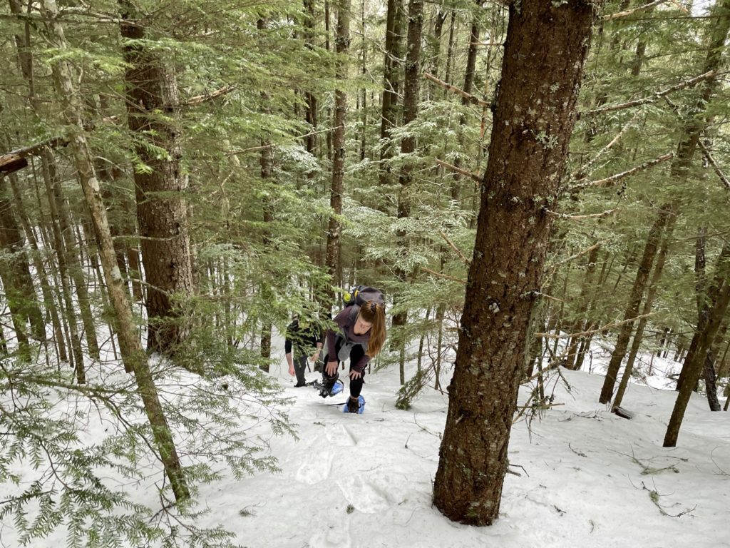
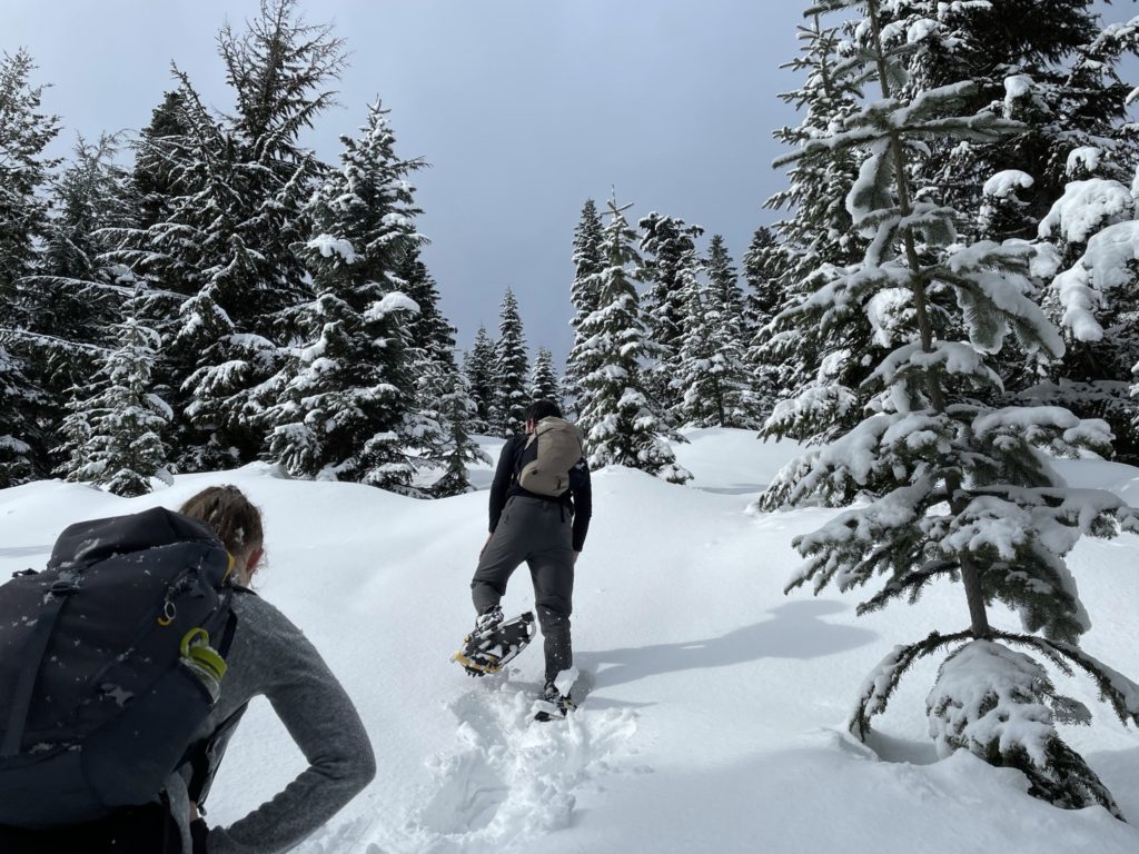
By 10:47am, we were heading up the trail. For the first 2km, we followed the old FSR/ATV tracks and encountered significant dead fall along the way. There were no hard impasses, but it certainly killed our pace a bit. At around the 900m mark, the snow became consistent and deep enough to warrant putting on our snowshoes. We spent a few minutes gearing up and then pushed on.
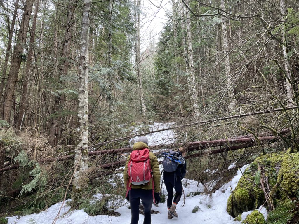
We continued to follow the FSR up until about the 2.3 to 2.5km mark (950m in elevation) where the route veers off the established track and up into the woods. Pay close attention the GPS around this part, as the turn off is easy to miss. That being said, you could easily chart your own path heading almost directly East, the whole way, if you wanted to.
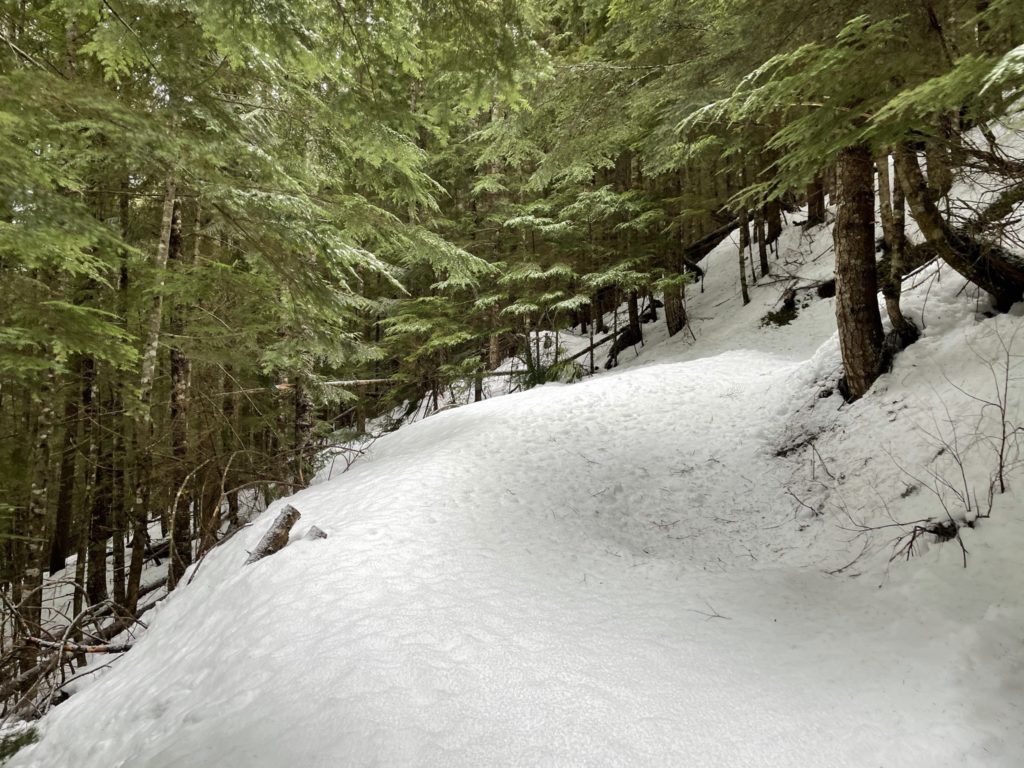
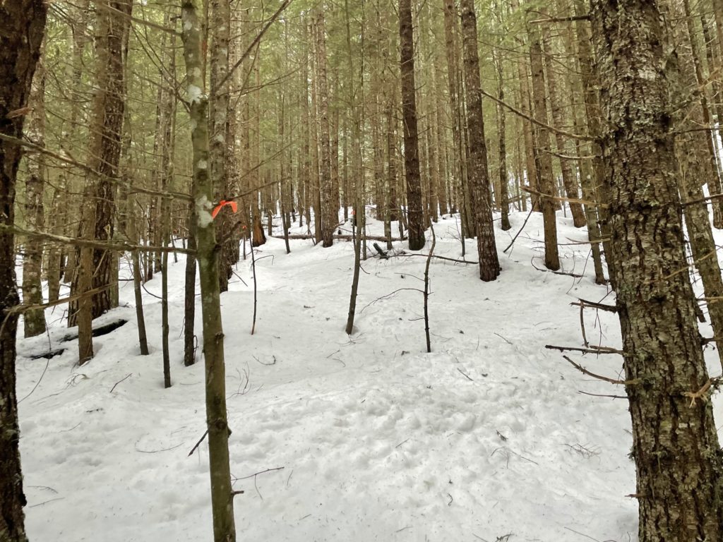
The snow through the forest was firm and crusty, which made for easy trail breaking conditions. Unfortunately, there were no previous tracks to make use of, but someone had kindly flagged almost the entire forest route, up until the 1400m elevation mark. Something to keep in mind is there were other flags which appeared to mark cut block boundaries, but lead to nowhere in particular.
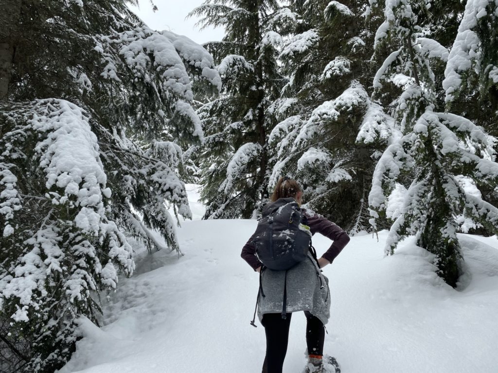
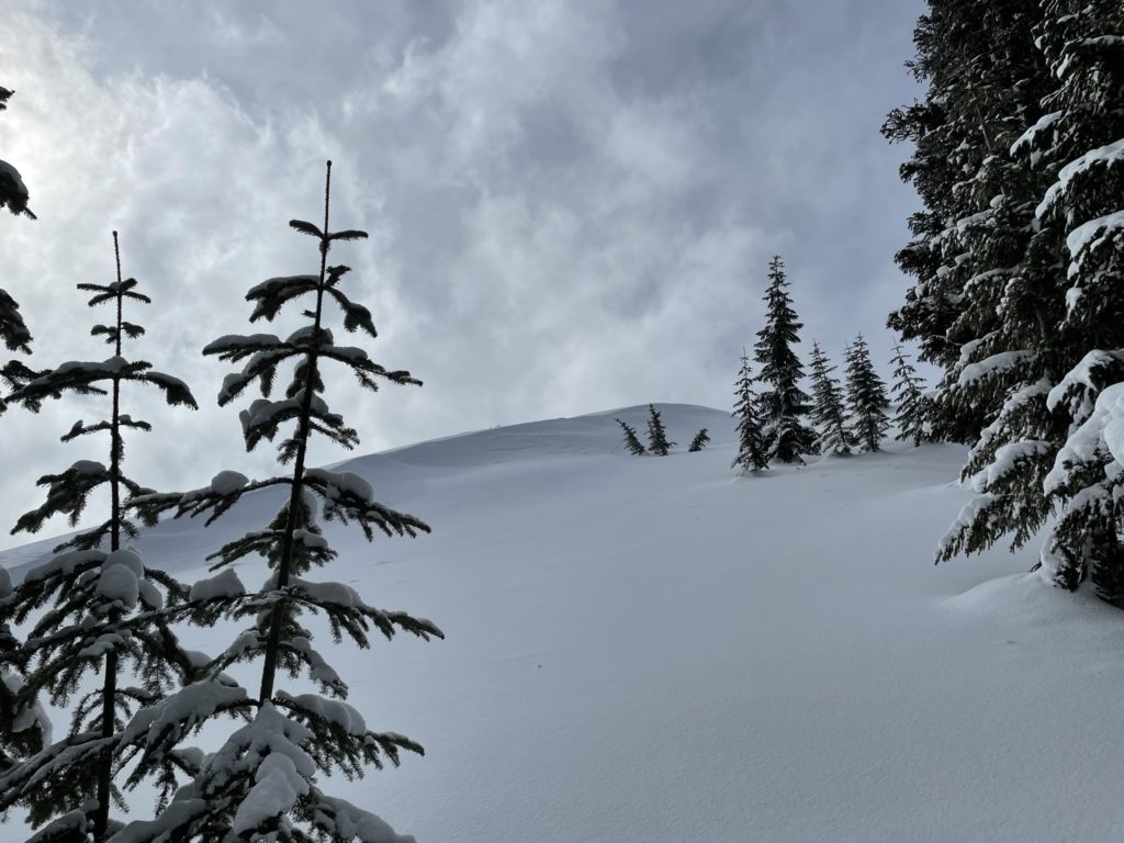
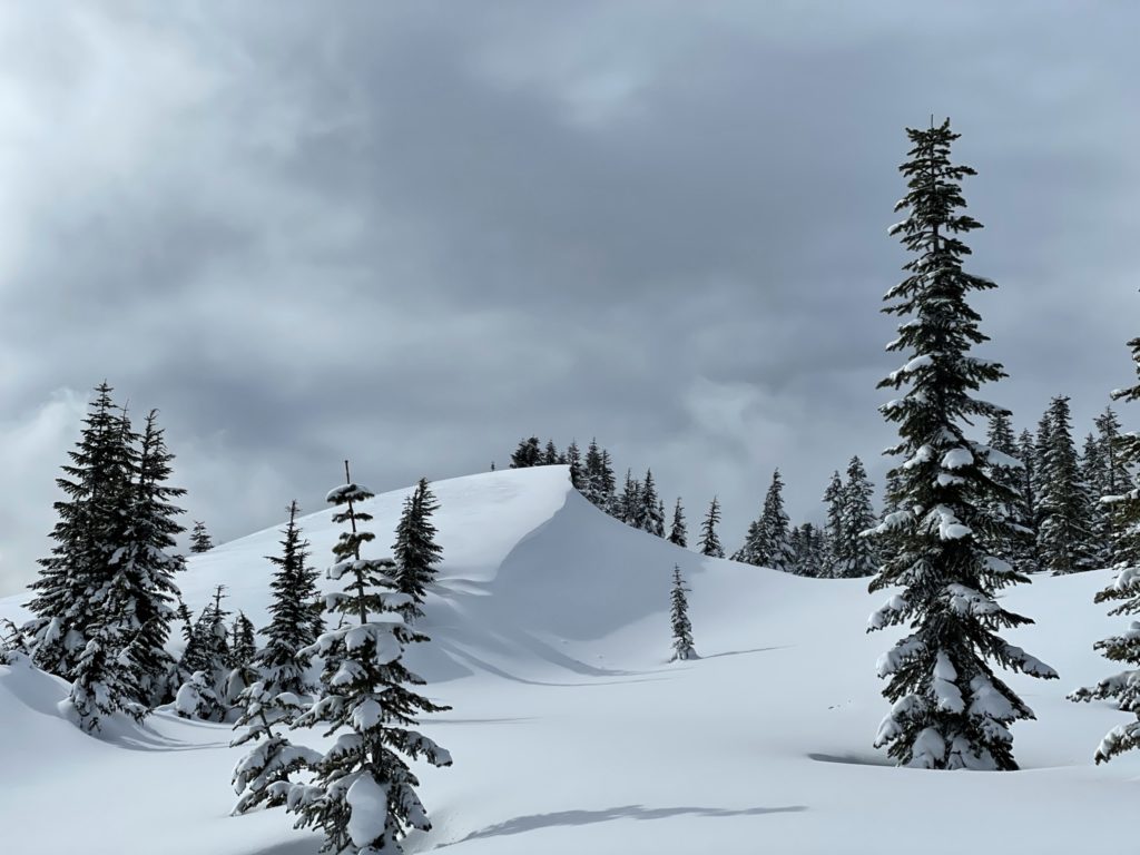
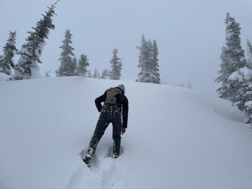
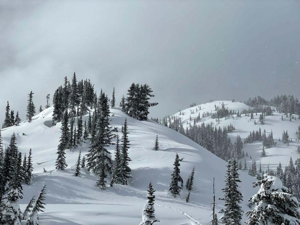
When we reached the 1400m elevation mark, the trees started to open up and with the flagging gone, we simply followed the natural inclination up the ridge line. Our route meandered through some beautiful snow fields and the occasional steep forested slope. It was quite easy to gain the ridge as the terrain was very mellow. The down side was the snow was also quite deep and loose at this point, making for harder trail breaking.
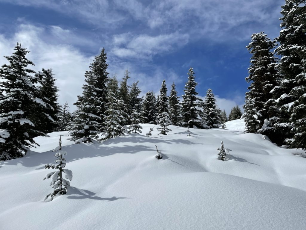
Somewhere around the 1500m mark, there was a fairly steep slope with a large cornice and wind affected snow. Thankfully, it was easy to circumvent by sticking climber’s right along the trees. After this point, we could finally see the summit to Mount Mercer. From our view it looked quite close, but there was still another 1.5km to go through deep snow.
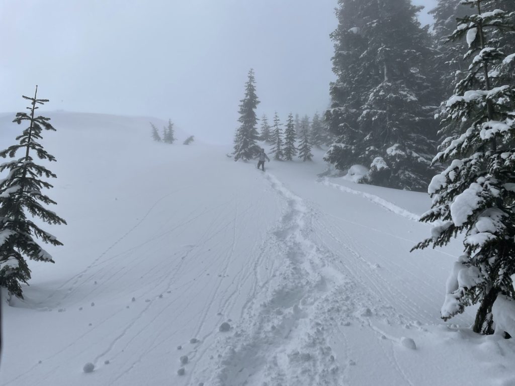
By this time it was 1:45pm and both Laura and Megan were getting concerned about making it back to the car before dark. I figured with a solid pace, we could make the summit for 2:20pm, which would give us about 3 hours to get back. Everyone agreed it was worth a shot and so I set the pace breaking trail at the lead. We made it another 300m, but it was still slow going. We paused to regroup and at this point Megan and Laura both felt there wasn’t enough time to make it to the summit with all 4 of us.
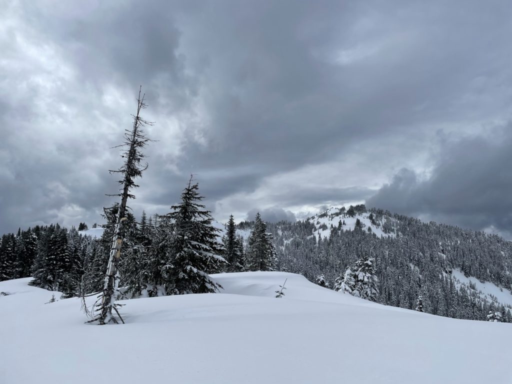
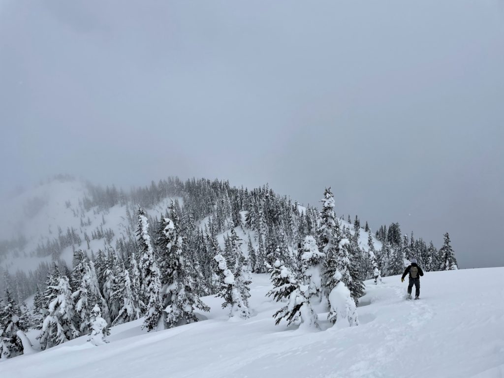
Jacob and I both felt strong and so we agreed to make a push just the two of us and would meet Laura and Megan on the way down. With the plan in place, Jacob and I set off again with our original pace with Jacob at the lead. We reached a bend at around 1600m and from there it was straight push to the summit with a few steep rolls in between. Along the way there were a few tricky snow features formed by intense winds that we had to work around. Besides that, it was just deep snow to contend with.
At around 2:30pm we made it to the summit and just around the same time that storm clouds had started to envelope the mountain. The wind picked up and it started to snow, but thankfully it was nothing extreme. After a few photos, we left quickly as we had a long ways back and the pending darkness to beat.

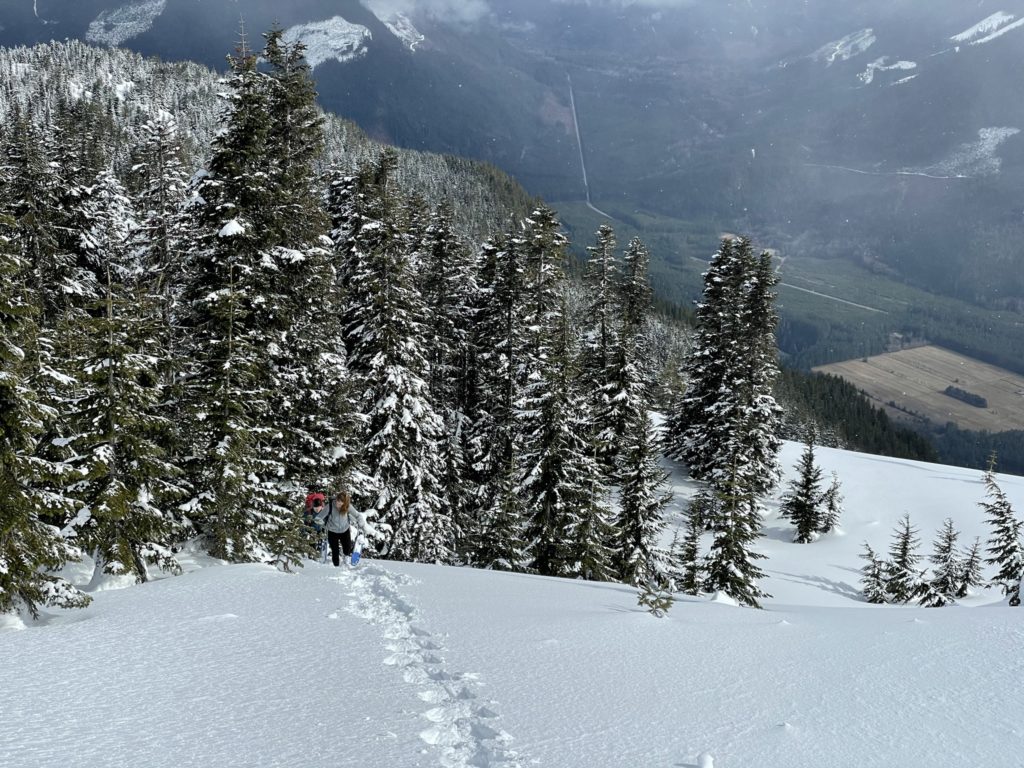
Coming down was super easy and fun with the soft powder to cushion our steps. A few rolls/ridges had to be regained, but it was minor elevation to overcome. We simply retraced our original steps back into the forest. In the lower elevations where the snow was crusty, the snow shoes became a bit of a hindrance with some big slips and falls, but it was better than post-holing. We met up with Laura and Megan just before our parking location and walked the last 300m together.
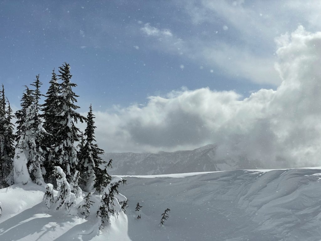
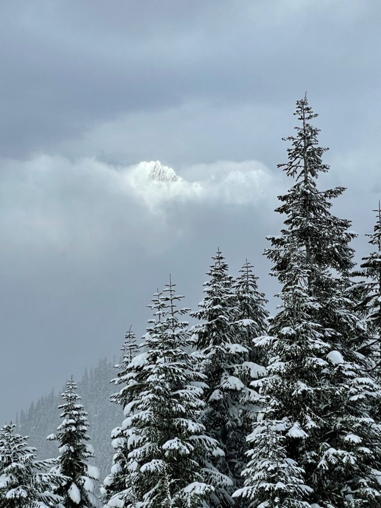
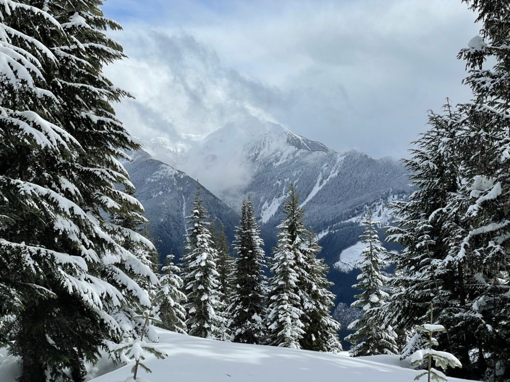
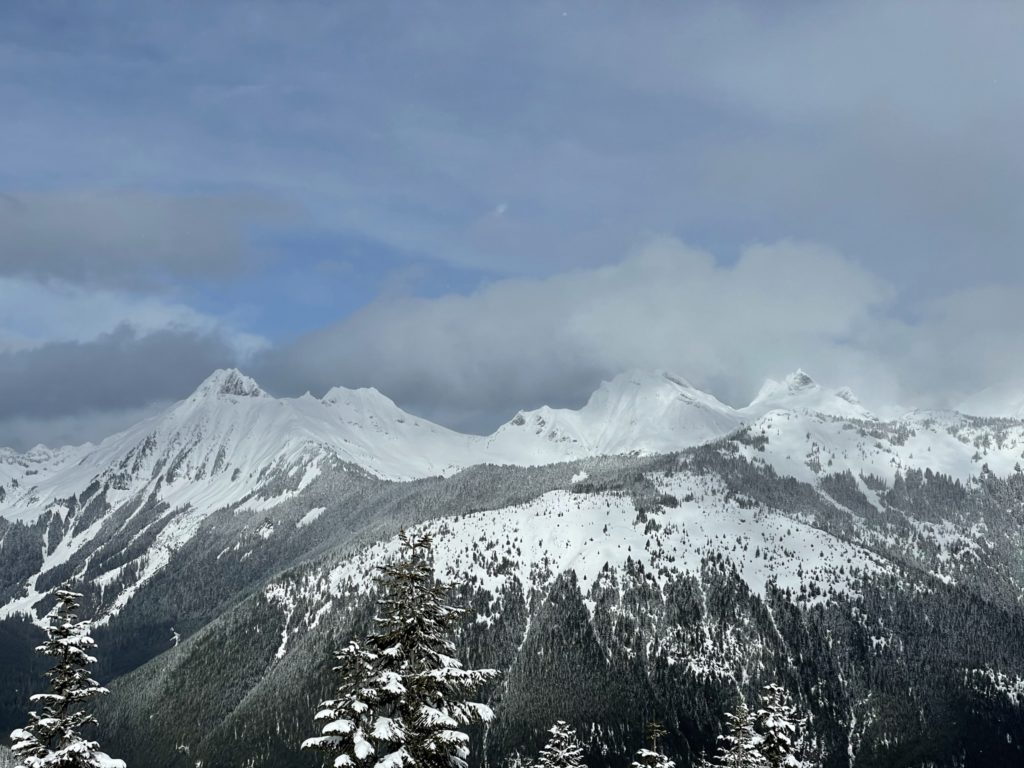
All in all, a beautiful hike with outstanding views of the Cheam range and the plethora of peaks across the Chilliwack River. Highly recommended for days where the avalanche conditions keep you away from steeper terrain or if you’re looking for a trail less traveled.