Elevation: 547m
Distance: 7.79km
Total Time: 2 hours 53 minutes
Date: March 13th, 2021
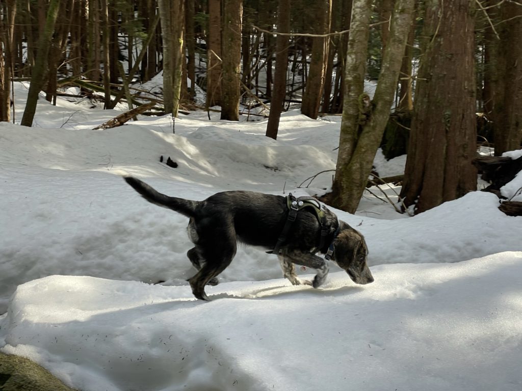
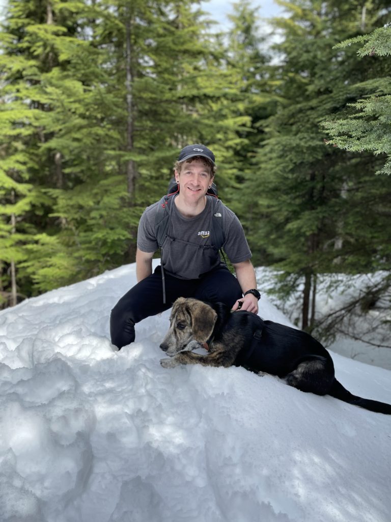
Saturday was set to be a sunny day with warm temperatures and so I was on the lookout for somewhere with a nice view. I had two companions joining me for the day, Sara and our puppy Winston. Since it was Winston’s first hike, I needed to find something easy and stress-free where I could get a chance to see how he does out on the trail.
I see-sawed back and forth between Cartmell Peak and South Lynn Peak, but ultimately decided on neither. Winston has been getting car sick recently, so Cartmell was ruled out and with a sunny day I wanted somewhere with a chance of views so South Lynn Peak was also scratched off. That’s how I arrived on Cypress Mountain. Not to be confused with Cypress Ski Hill or Cypress Peak in Squamish. Cypress Mountain is a small peak located just north of Coquitlam with an elevation of 831m. The route up follows an FSR almost all the way to the top with snow along the way and a short ~8km round trip. Perfect for an adventure dog in training.
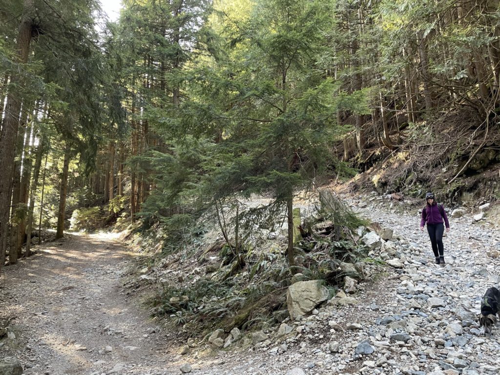
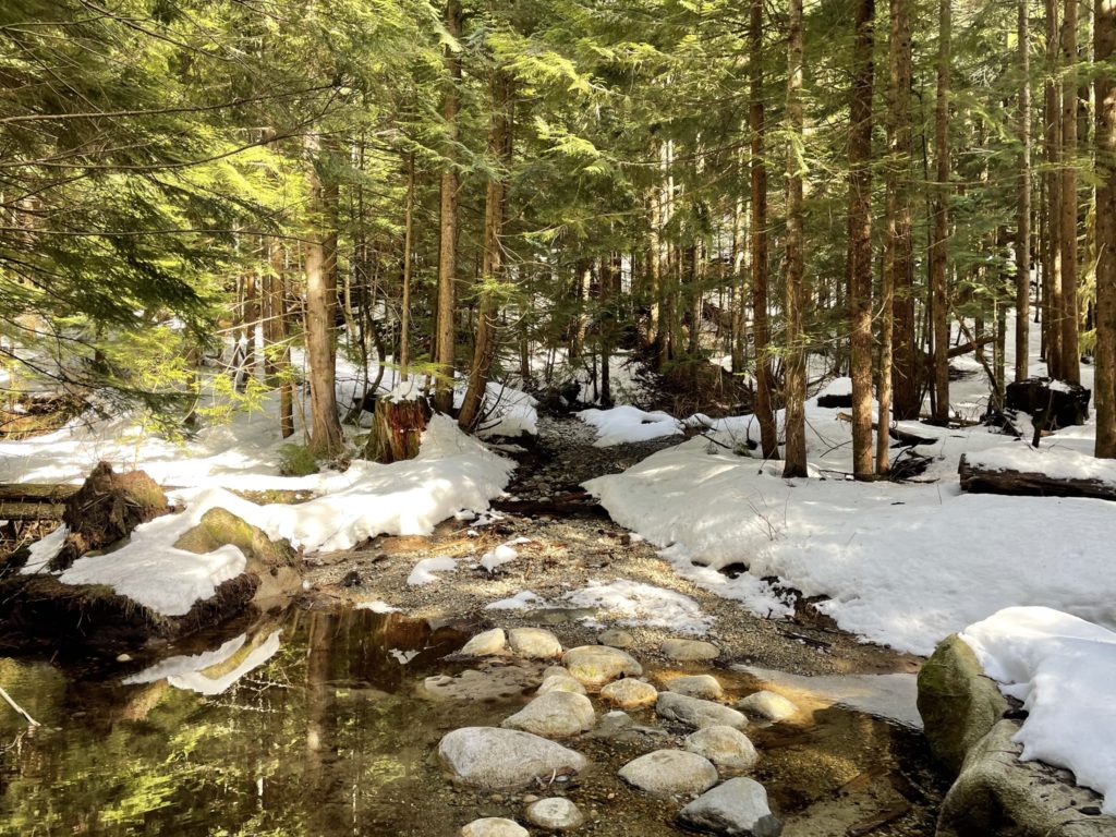
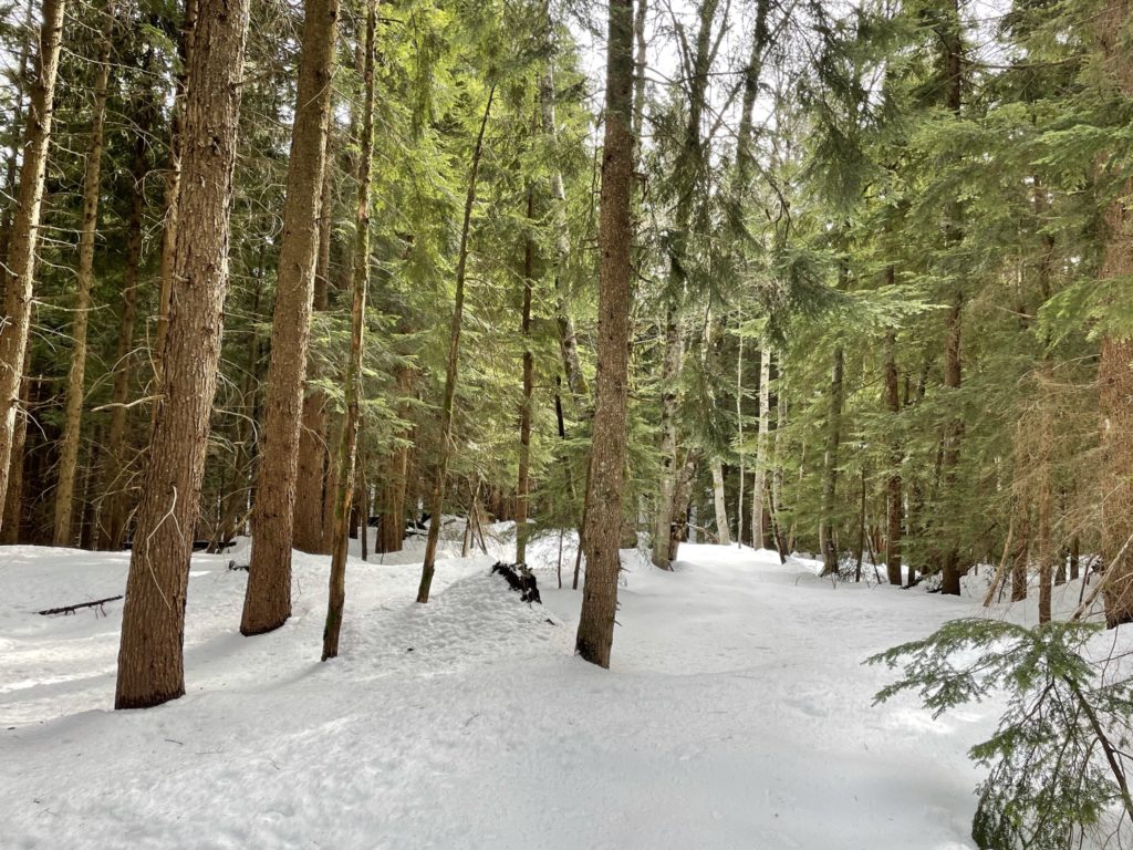
On the day of, we had a lazy start and weren’t up and running on the “trail” until around 11:30am. The first part of the trail is in fact a paved road, which turns into an unpaved FSR around 500m up. We continued up the rocky FSR without much to speak of until the ~600m elevation mark. Here the snow layer started to become more persistent, albeit firm and very easy to walk on.
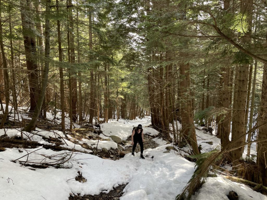
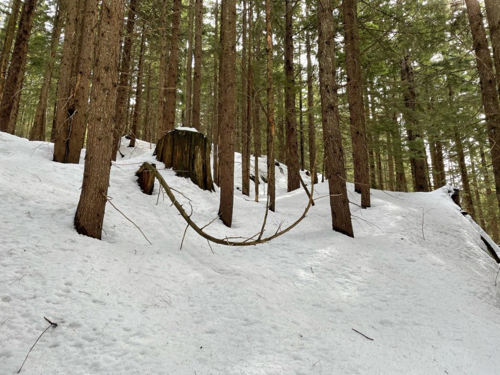
We made it to the “east lookout” turnoff after 45 minutes or so and opted to go up to the summit first and checkout the viewpoint on the way back. The boring FSR route continued for another ~1.5km before the snow started to get decently deep and the tracks ran out. At this point we started to break trail, with the occasional step plunging down to the hip. The terrain was still flat and we just followed the GPS track up and around the final summit slope. A few more post-holes later and we were at the top of the forested summit.
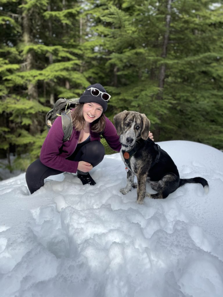
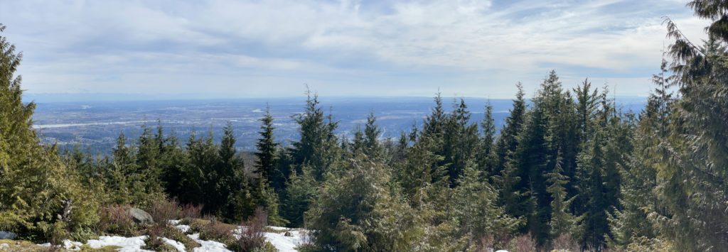
Without any views to speak of, we left almost as soon as we came and started back for the view point. About 20 minutes later we were back at the junction for the viewpoint and made our way down the well-trodden path. When we reached the view point it was, well… lackluster. There were some views East looking at Mt. Baker and South towards Coquitlam, but the view point was narrow and fairly forested. I took a few photos and then we headed back down.
We reached the car not too long after and concluded the first hike with Winston. Speaking strictly about the trail, it’s fairly boring and the one view-point is easily out-done by the dozens of other view points throughout the lower mainland. In terms of getting the puppy out for a trial run, it proved to be perfect with a mix of snow, semi-steep slopes and rocky terrain. Unless you’re looking to do something similar or need to cross a peak off your list, I’d save Cypress Mountain for last.