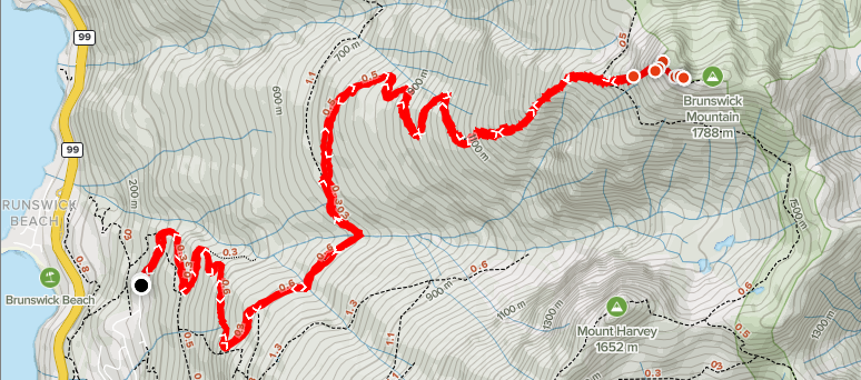
Distance: ~13.42km
Elevation: ~1,497m
Total Time: 6 hours 42 minutes
Date: January 9th, 2021
After completing Mount Mulligan two weeks prior, I was looking for another winter ascent to try. I didn’t feel like driving far or deep into any FSRs because I just have a small 2WD car. So, I looked as far North as Squamish and as far east as Golden Ears. Initially Round Mountain caught my eye, but there were strict requirements about having chains to get to the trail head and I didn’t feel compelled to go out and buy any.
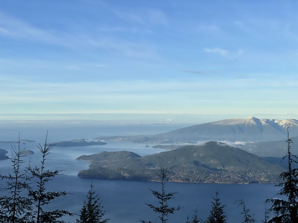
There were a few mountains along the Howe Sound Crest Trail that also looked worthy of a winter attempt. Hat Mountain, Mount Harvey and Brunswick Mountain all landed on my list, but I narrowed it down to Mount Harvey and Brunswick Mountain, because parking for Hat Mountain is a mess apparently. Mount Harvey stands at 1652m with a ~10.6km round trip journey. Based on photos and trip reports the ascent is quite easy with a low incline ridge line to the summit and 360 views at the top.
Brunswick Mountain stands at 1788m and is the tallest peak along the Howe Sound Crest Trail. The summer route has a narrow and exposed traverse to the main summit and is much more challenging scramble than Mount Harvey. I had little information on what this route is like in the winter except for Steven Song’s excellent trip report, albeit taking a different approach than the standard route. Both mountains start at the same trail head so I figured I would decide at the trail junction on the day of, with weather being the tie breaker.
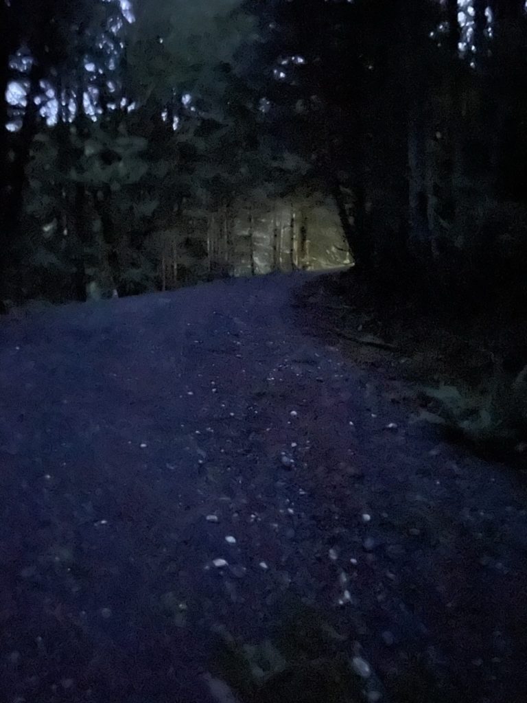
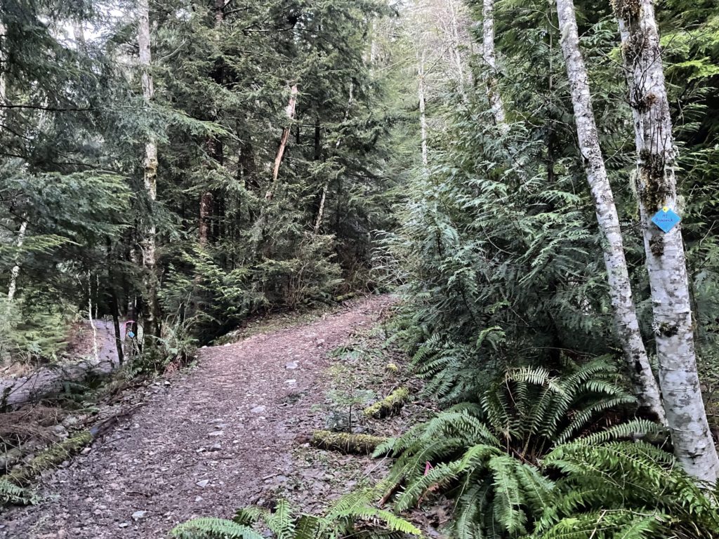
On Saturday, I set out around 6:30am to beat the normally overflowing parking lot and arrived in the dark around 7:10am. I was geared up and on the trail by 7:21am. The first 2km of the trail is an easy trek on a well-maintained FSR and there’s not much to say about it. At the 2km mark I hit the junction for Mount Harvey and Brunswick Mountain. The weather looked great and I couldn’t decide on a guaranteed objective (Mount Harvey) or the more rewarding, but unknown Brunswick Mountain. After thinking for 3-4 minutes I decided to try Brunswick Mountain since it sounded like a bigger adventure and I could build more experience that way.
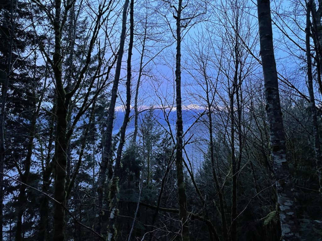
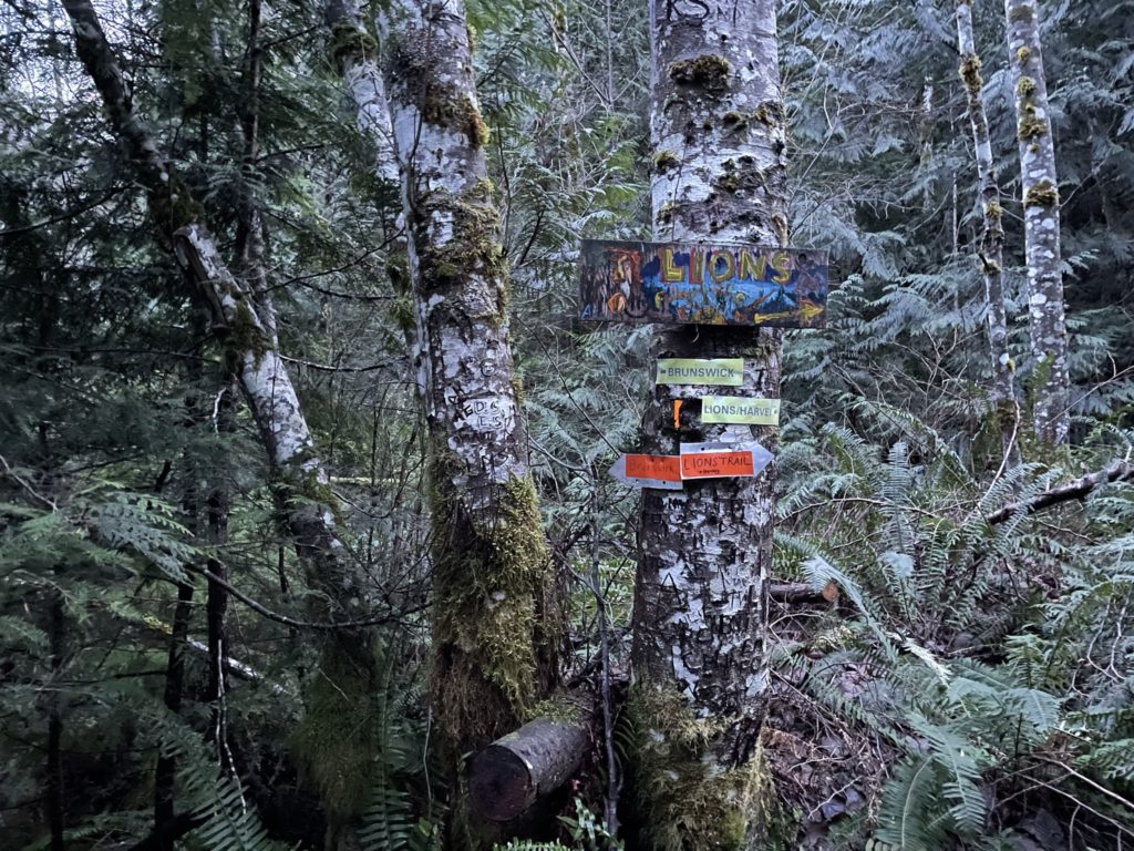
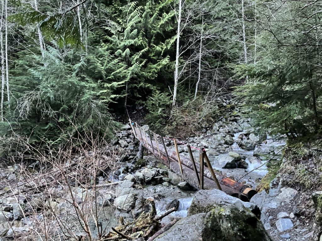
The route to Brunswick Mountain continued down another FSR for 2-3km and grew progressively more over-grown. Around the 3km mark was a very wet and slippery log bridge across Magnesia Creek and shortly after was the junction to Tunnel Bluffs. I continued up towards Brunswick Mountain on the modestly inclined path.
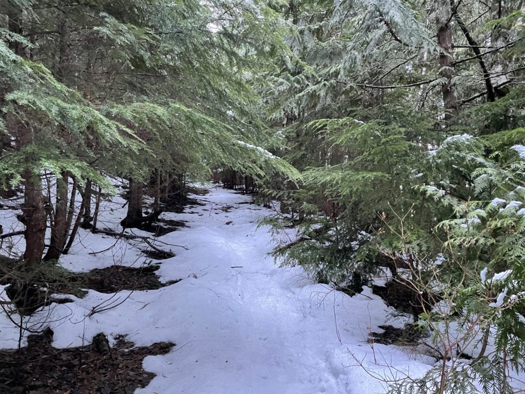
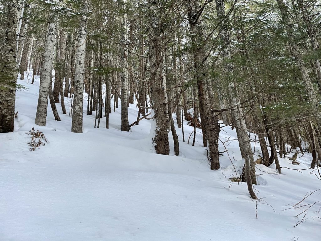
Somewhere around the 900m elevation mark, the snow on the trail became persistent, but it was firm with no post-holing. I was able to manage with just boots and poles. I was following some old snow shoe tracks that appeared to have been sinking in the once unconsolidated snow, so I was happy to have timed it the way I did.
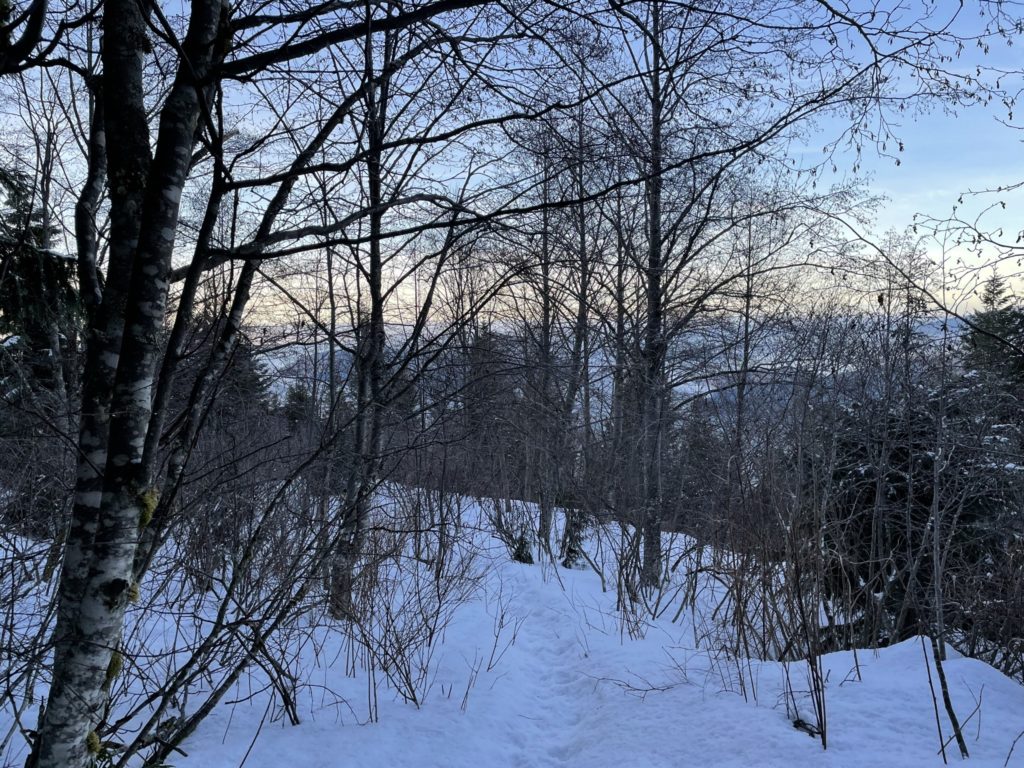
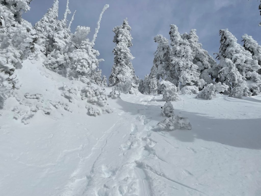
At around 1000m in elevation, just after a series of switch backs the trail steepens considerably, and it was basically straight up the mountain from there on. I continued to follow the snow shoe tracks though the steep forest, but they grew more and more faint until fully disappearing at around 1250m in elevation. The were trail markers every 15-20m, but they became progressively harder to spot. There were multiple icy and steep sections in the forest and with the established tracks gone, I had to break trail and navigate through dense forest, which was quite time-consuming.
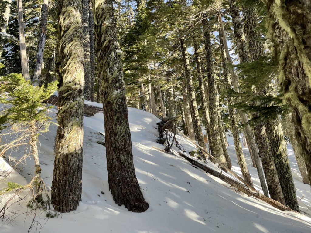
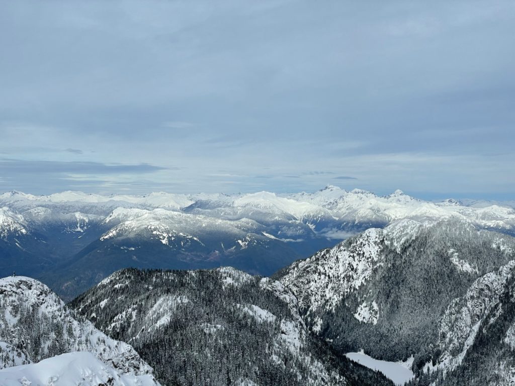
At around 1400m in elevation, the trail flows out into an open area/ridge which had received significant snow accumulation. The route up was completely buried with steep undulating snow mounds and wind-blown cornices. I decided to stick climber’s right of the summer route where the denser tree coverage had reduced the amount of snow. Still, it was a slog with lots of post-holing and no established route to speak of. I tried putting on snow shoes, but couldn’t get any traction on the rolling snow mounds and gave up after 20 meters.
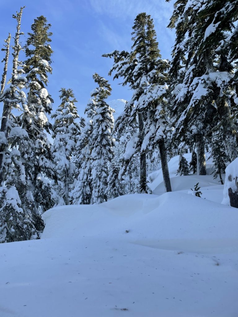
I was about to call it at this point as the route steepens even further and the deep snow seemed endless. I thought, I’d give the crampons a try, just in case. Sure enough, they worked like magic. I had all the traction I needed and minimal post-holing except at the base of the snow mounds.
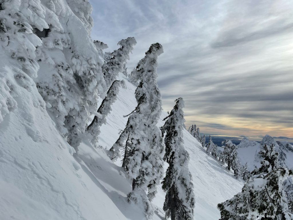
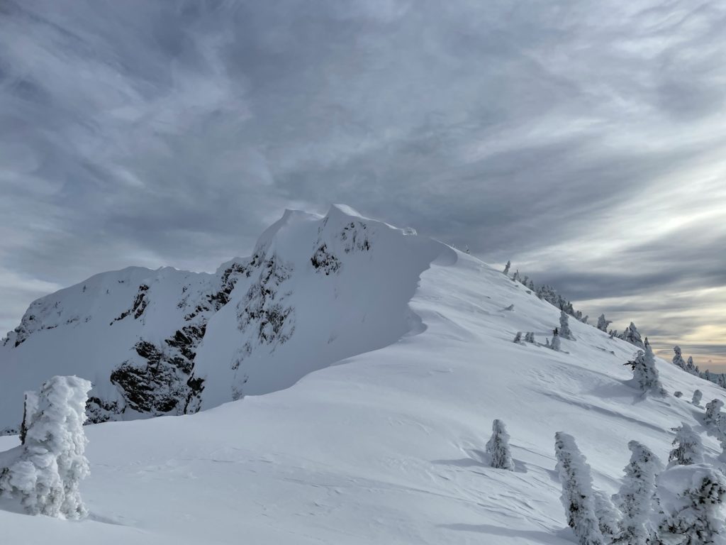
At 1500m in elevation is the junction for Howe Sound Crest Trail, then it’s basically straight up steep snow to the summit ridge line. The summer route follows around a small cliff, which in the winter is a very steep slope with nothing to catch your fall until you hit some trees another 15-20 meters down. After this cliff it was more steep slopes. I tried to stick to the trees instead of open terrain, and followed a mostly straight line up to the ridge.
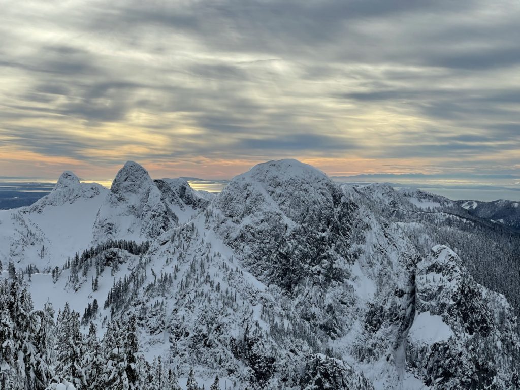
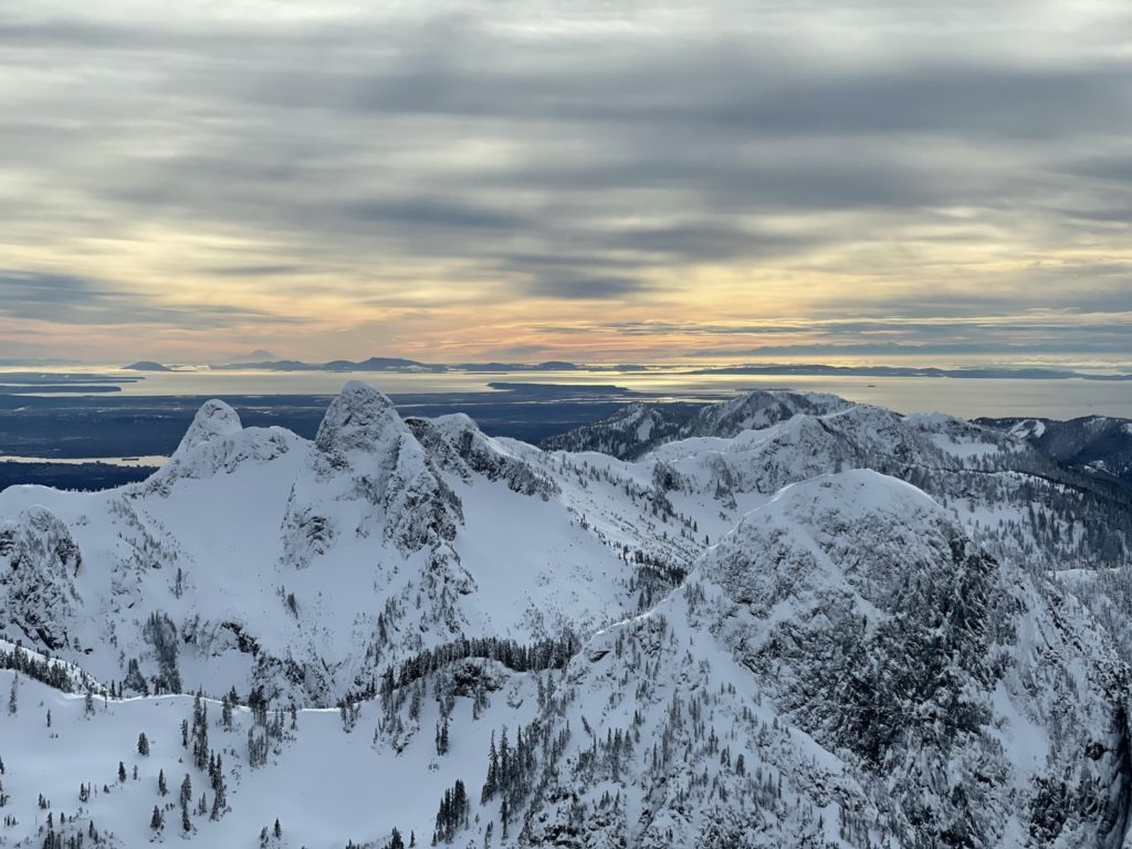
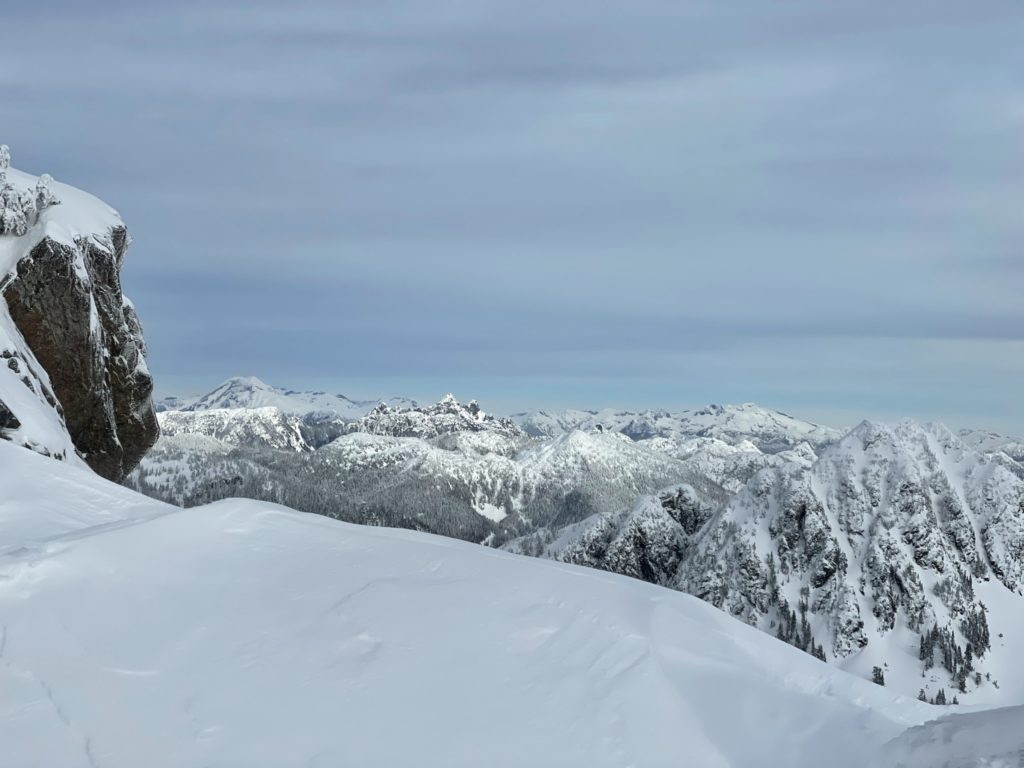
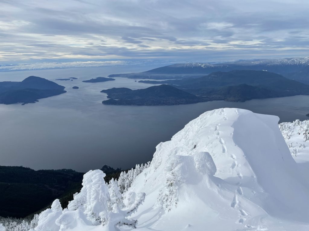
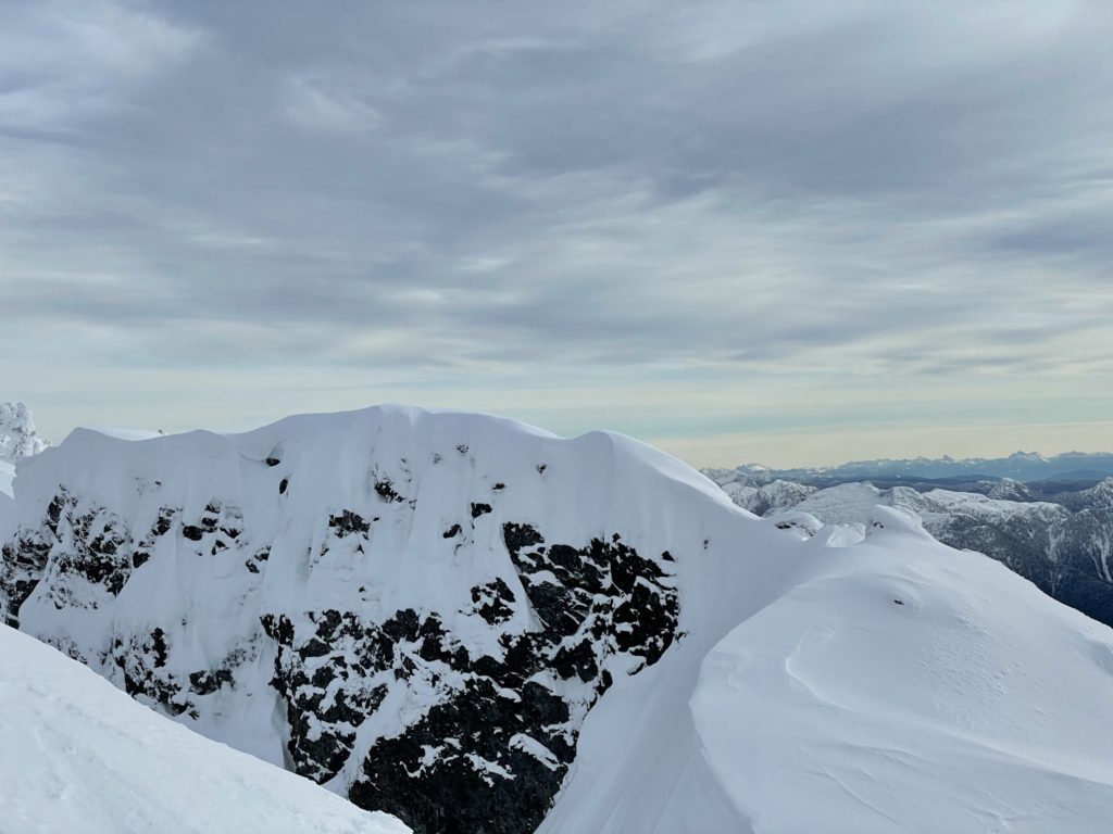
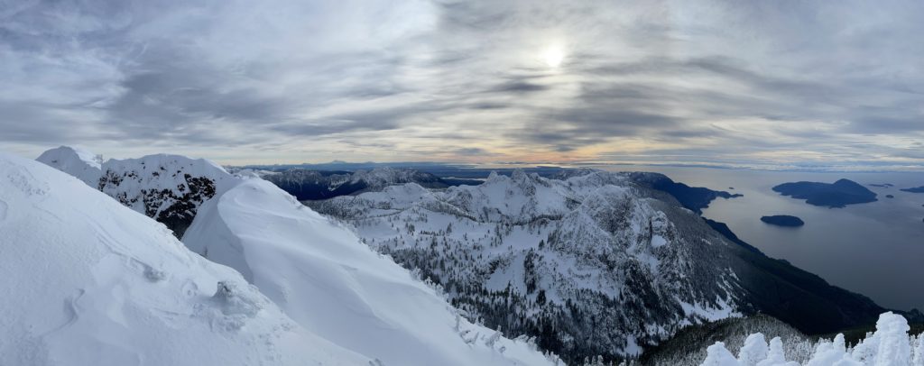
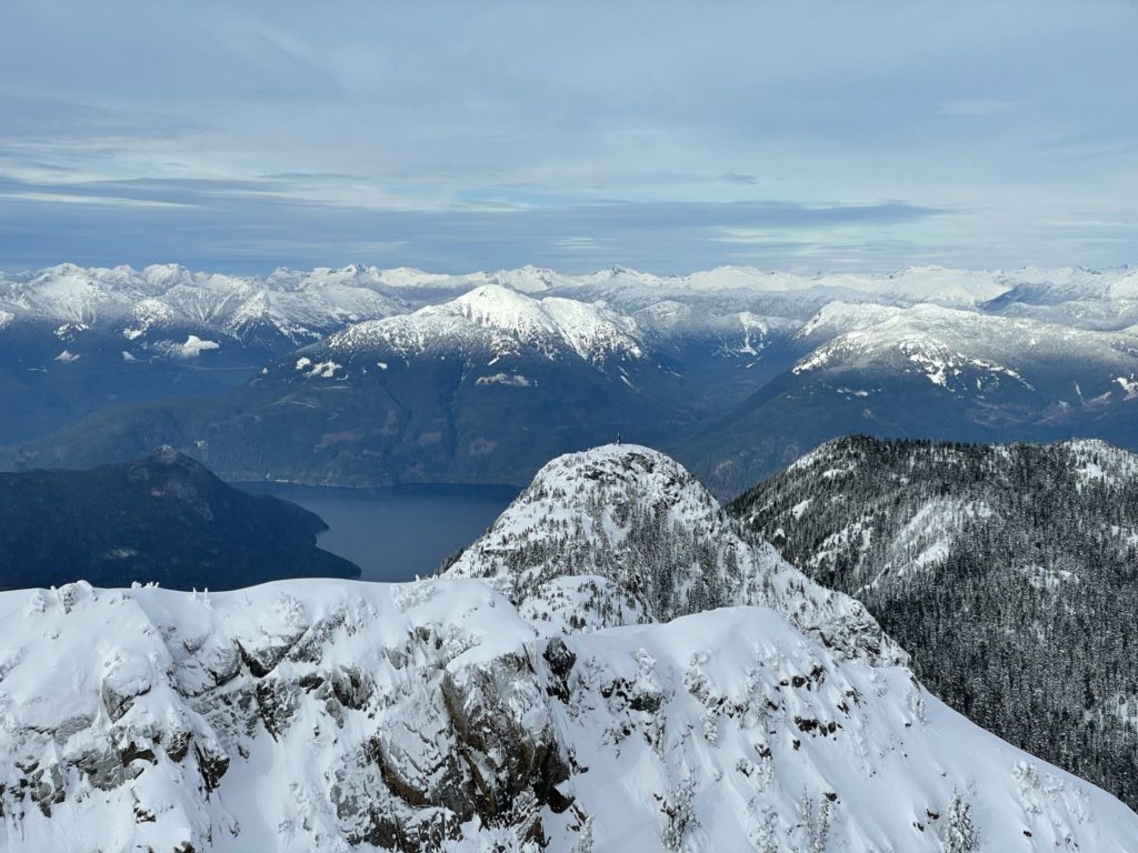
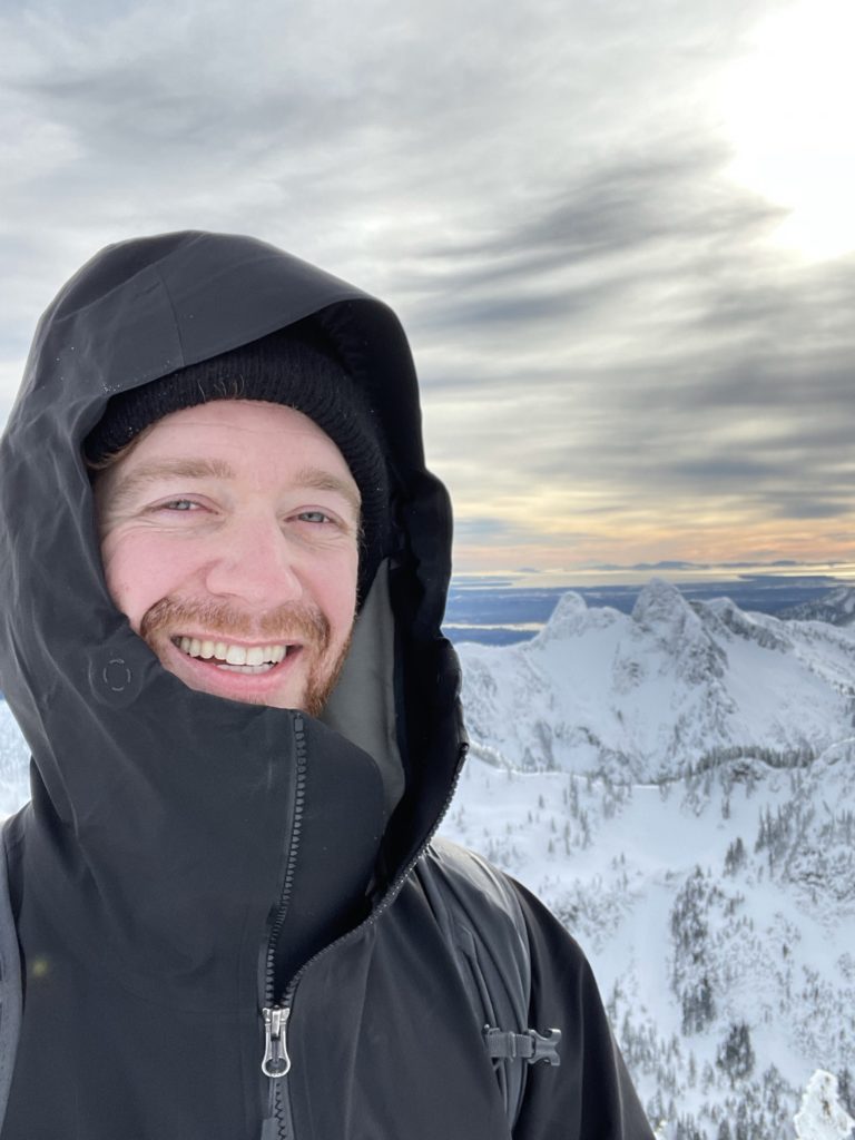
Once I gained the ridge, I could see the summit with large cornices the whole route up. I stuck about 3-4 meters climbers right of the ridge for extra safety margin. Then, I turned left and ascended to the summit. Along the way, the wind had picked up and temperatures dipped leaving me feel extra exposed out there. I continued on until I reached the top, where I found that the true summit was still another 20 meters beyond and I was actually at the lower “west summit”.
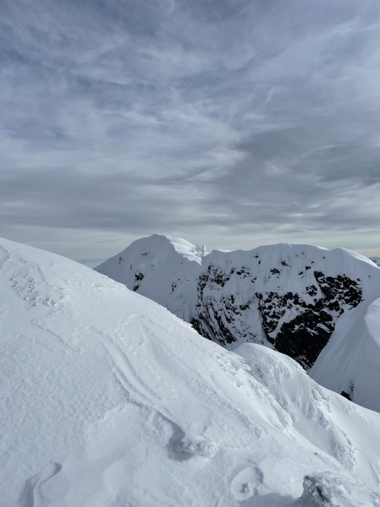
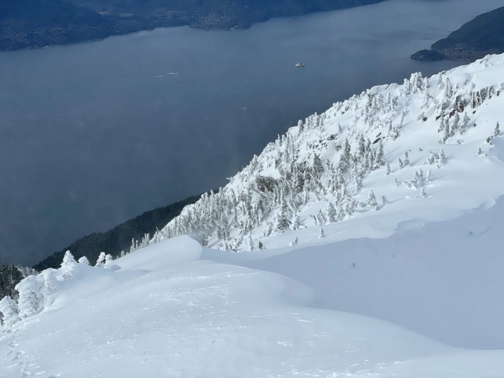
To get to the true summit required down climbing an icy cliff or dropping 30-40 meters back down the route I came and traversing a steep snow gully before regaining the main traverse. I decided at this point, that I was content to settle for the lower West summit. I hadn’t seen anyone on the Mount Brunswick trail all day and I felt the risk of doing the final stretch solo was too high for my comfort level.
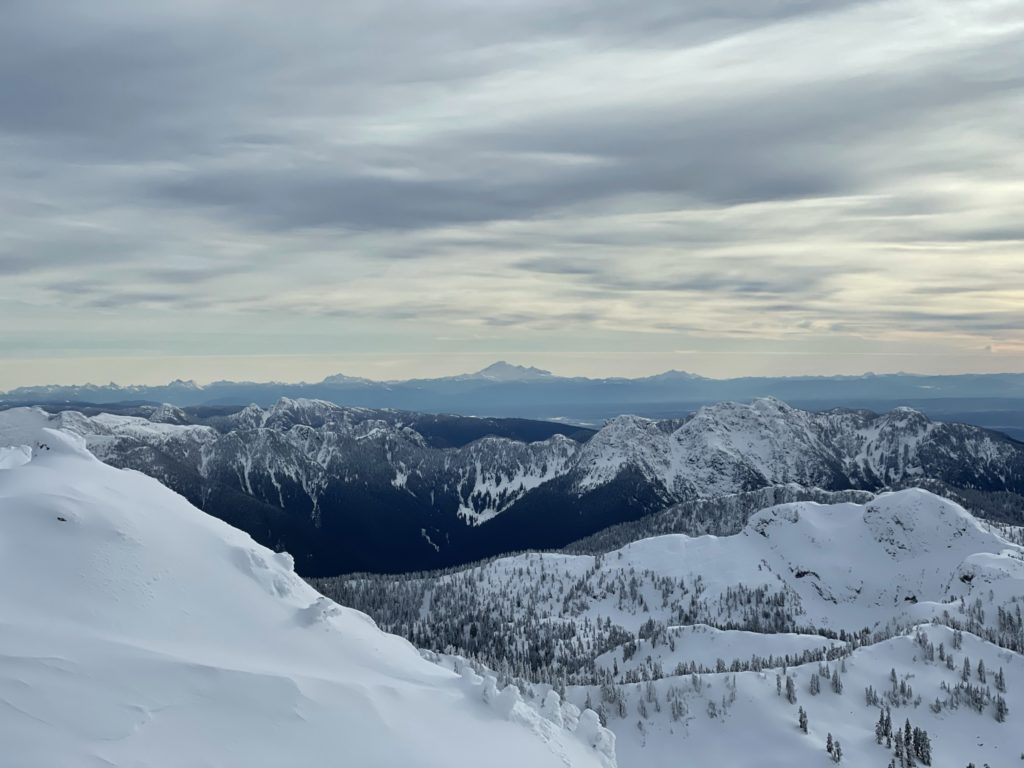
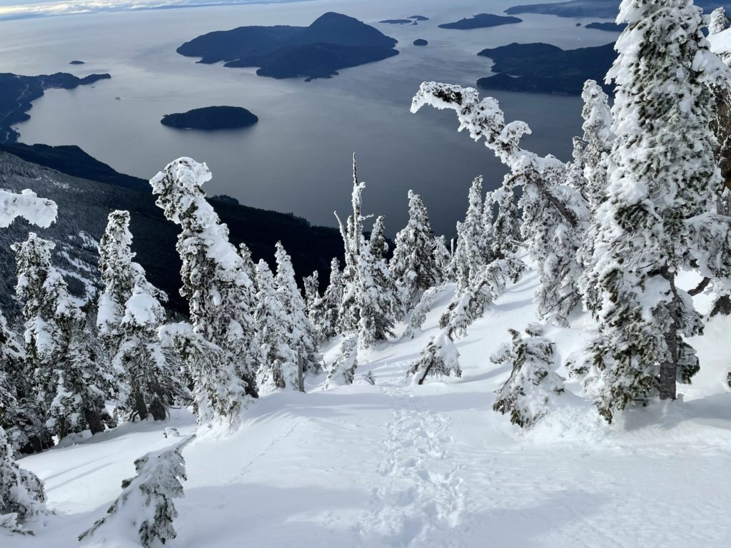
It was quite cold at the top, so I only stayed around for a few minutes taking in the view and grabbing some photos and then started my way back. I followed my tracks down the entire way, taking it slow on the steep sections. Most of the route down was just plunging down soft snow slopes and it was significantly quicker coming back. At around the 1400 meter mark I ran into 3 separate groups of 2 people on there way up. They were quite happy to have trail broken already and we exchanged a few words, before continuing on.
From there, it was a basic plod back down to the car and I made it back around 2:00pm. Besides the long approach, this was a really fun peak to climb and the views at the top were very worth it. I definitely plan to come back in the summer for the main summit and I’m curious to know how others have managed to gain the main summit during winter.