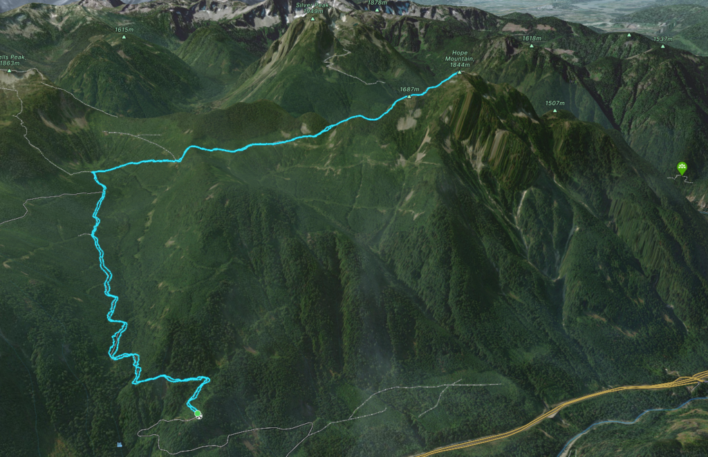
Elevation Gain: 1,549m
Distance: 17.66km
Total Time: 8 hours 55 minutes
Date: December 17th, 2023
Alex, Matt and Trevor were planning to get out on the Sunday and had invited Andrea and I for a snowshoe up Hope Mountain. In the summer time it’s an ultra popular hike with a rather short round trip and for those reasons I was leaving it for a lazy day. However, the weather was really mediocre throughout the Sea2Sky and the snow conditions were sub-optimal to say the least. So, it didn’t take much convincing for Andrea and I to join in.
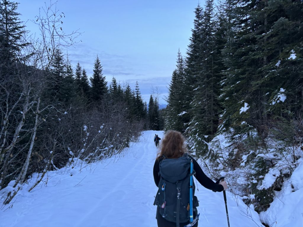
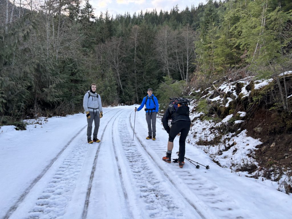
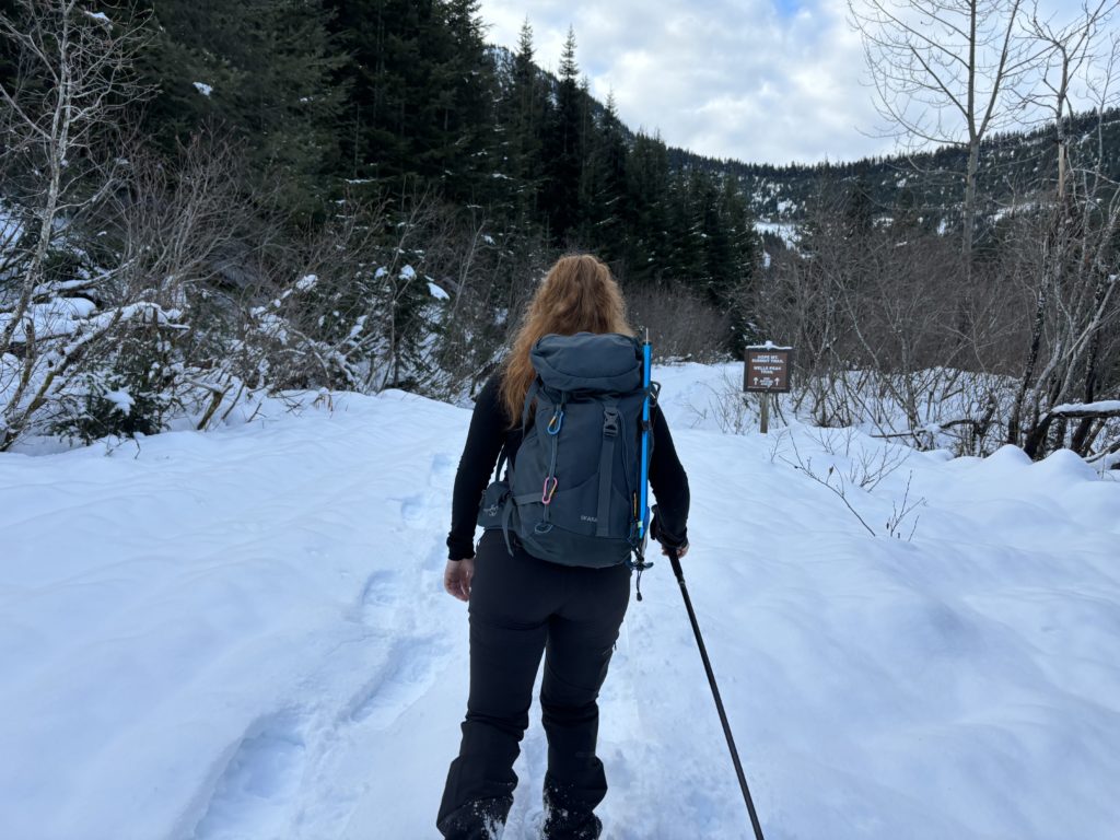
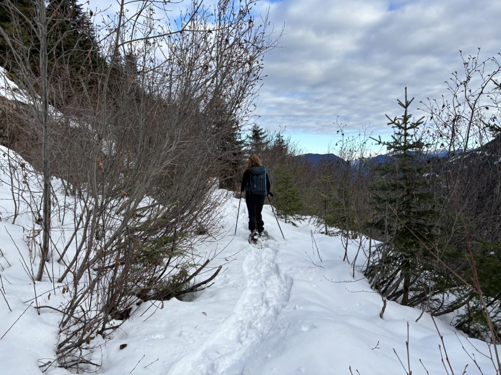
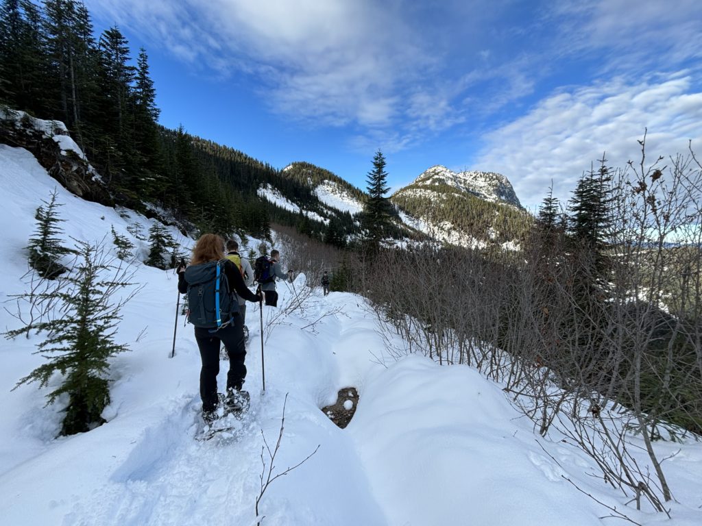
On the Sunday, Alex drove us as far as he could on the Hope Mountain FSR; which was about 630m elevation. The road was quite icy at this point so we packed our snow shoes and started the straightforward road walk to the trailhead. About 2km later the snow got deep enough to necessitate snow shoes so we did a quick transition and pressed on. Just shy of the 5km mark, we hit the trail head and started trail breaking in earnest up the flagged Hope Mountain Trail.
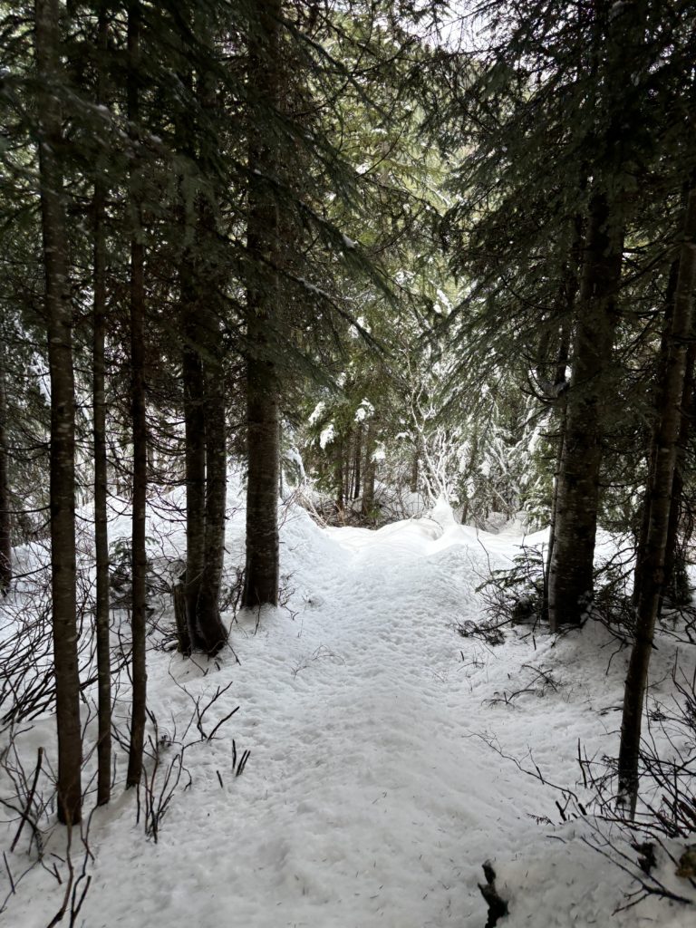
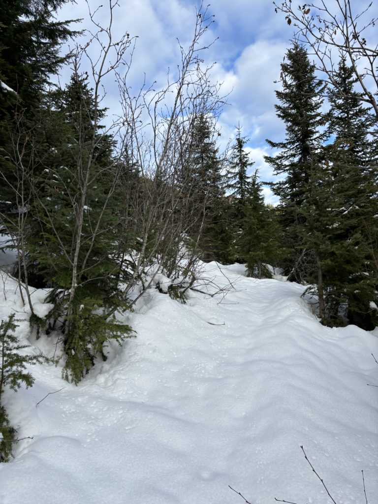
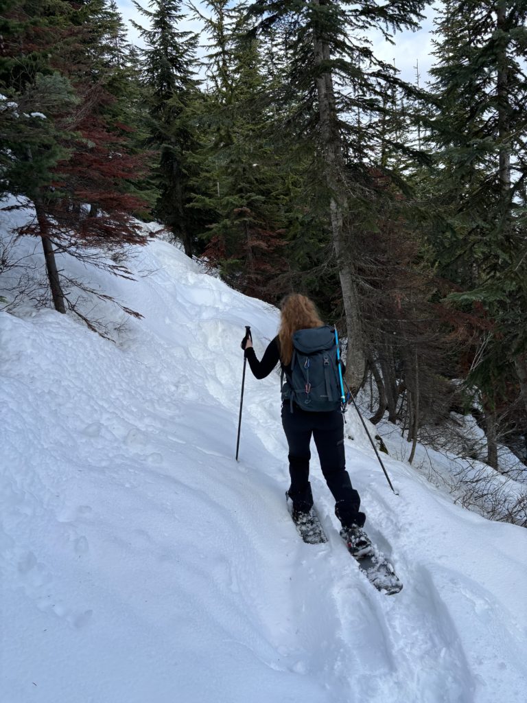
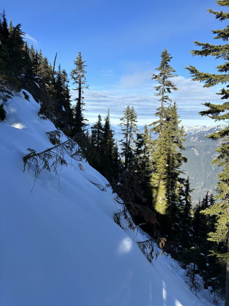
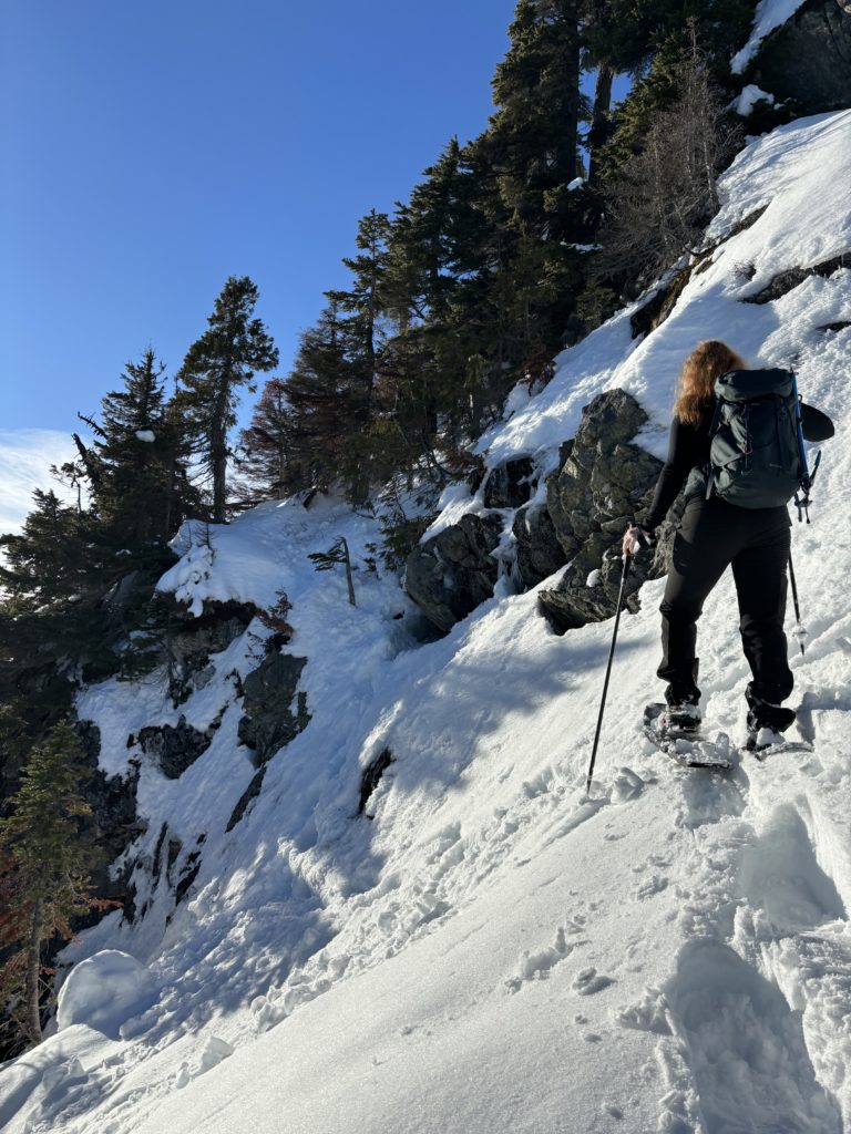
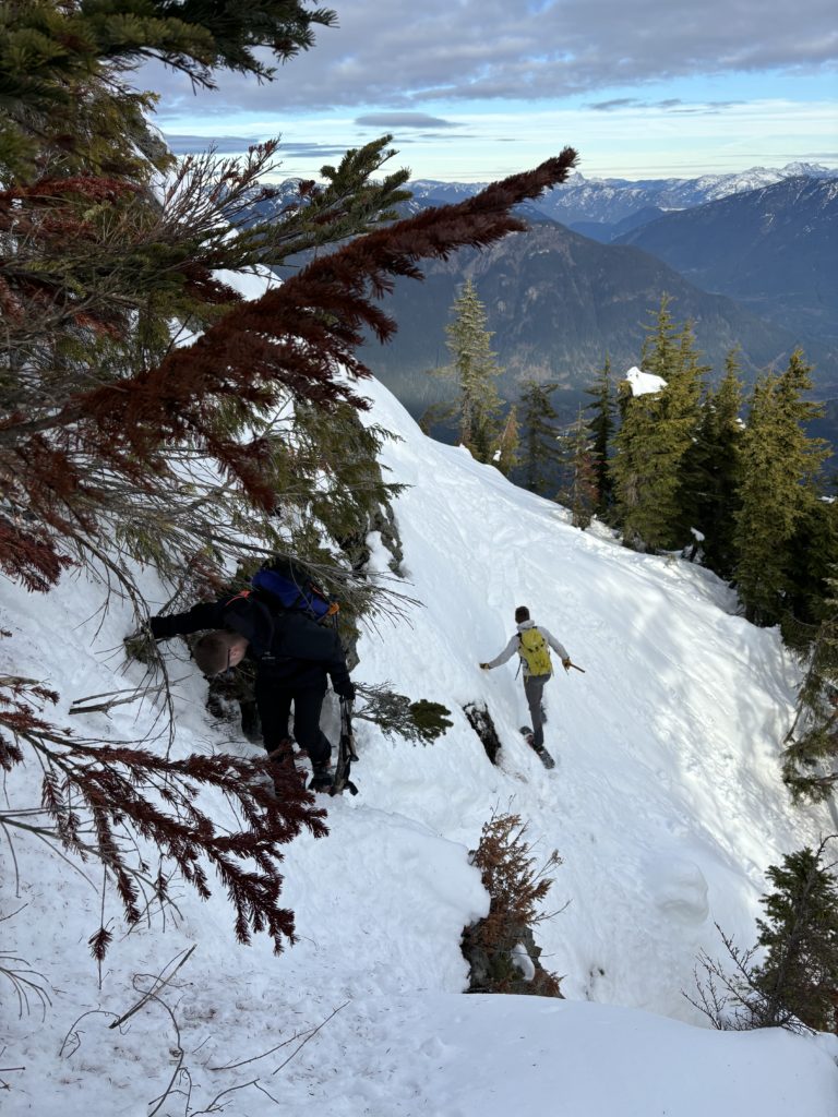
The snow was fairly supportive for the most part albeit quite deep in places. Before long we crested over a ridge line and dropped down to a bench road below. We had to weave through some alders and then and cut back into the forest about 1km later. Once in the forest we gained the east ridge and followed it with ease to a small steep section. Even with snow shoes it was pretty manageable thanks to ample alder belays to rely on.
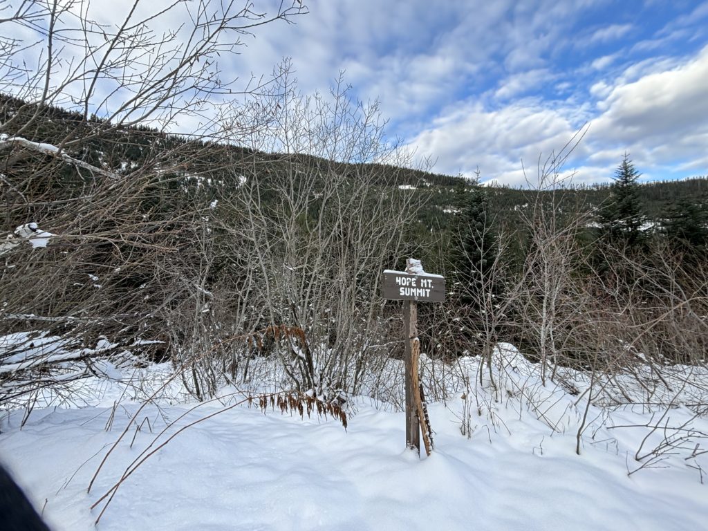
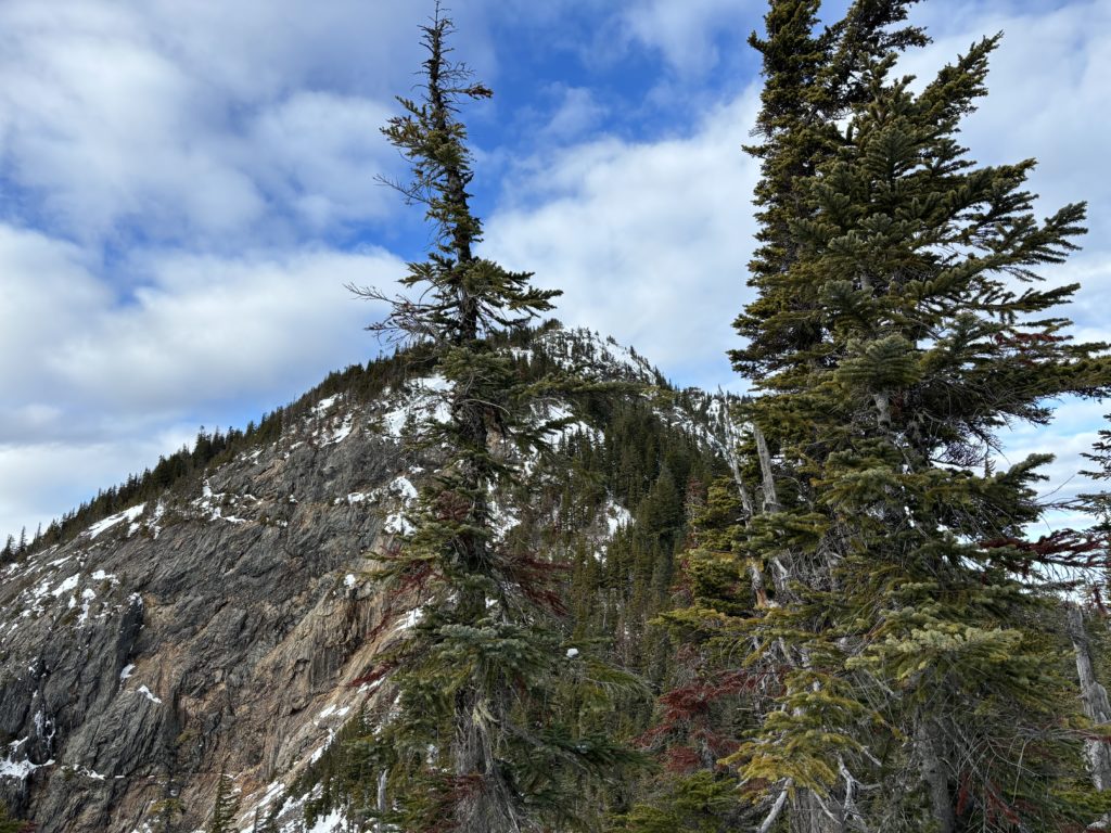
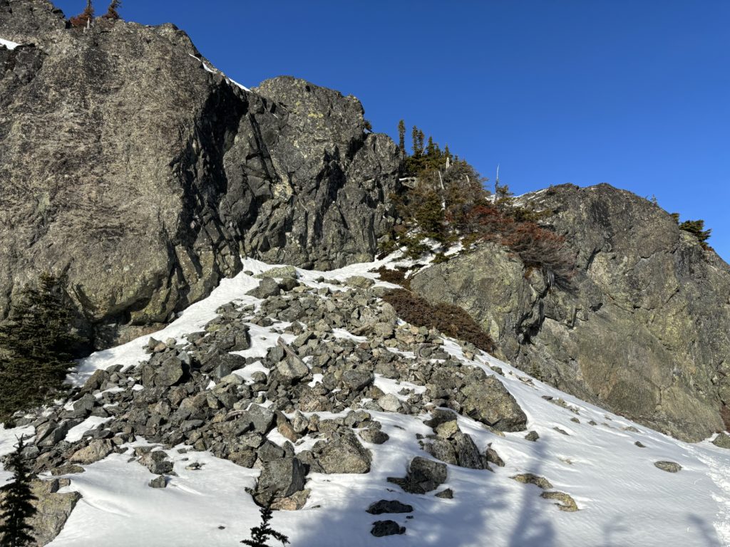
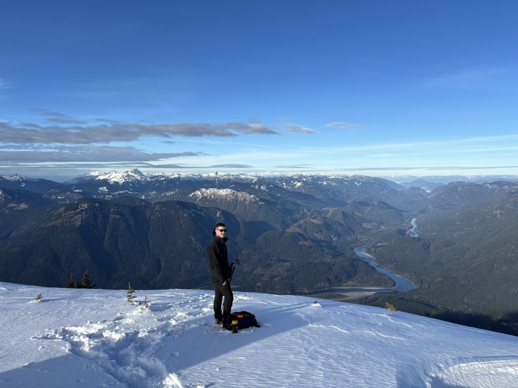
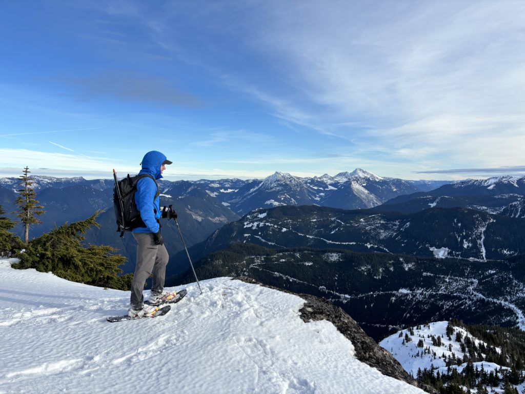
Above this crux we took the path of least resistance routing around some micro terrain and then finally up a narrowing ramp to the summit!

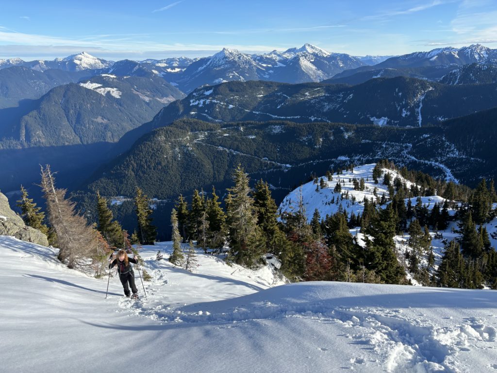
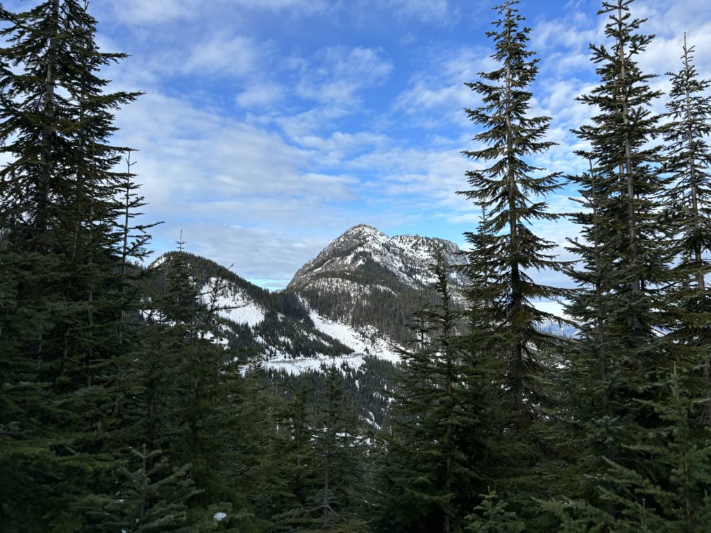
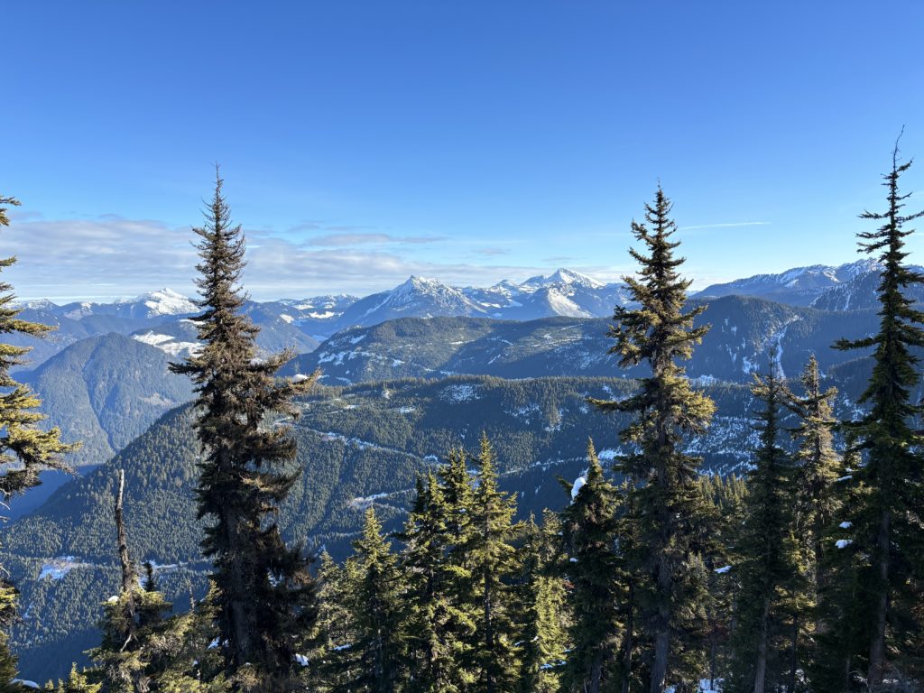
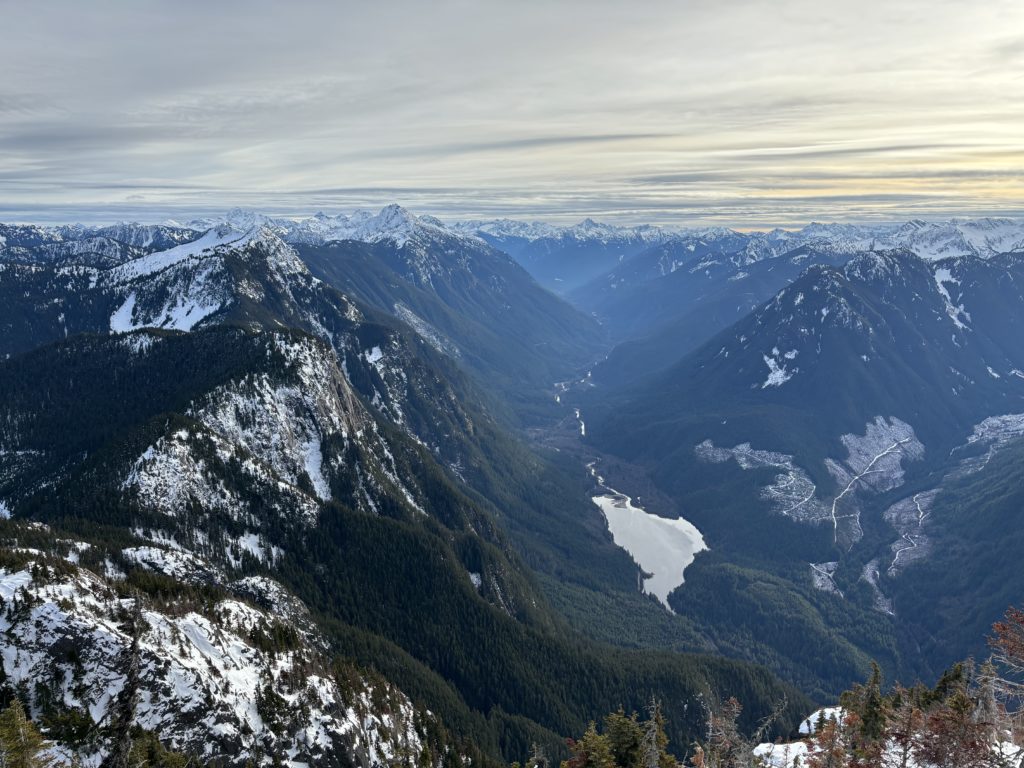
As anticipated, the views were stellar. I got my first glimpse down the Silver Skagit valley in quite some time. The road had been closed since 2021 and my last time I was able to drive down there was for Mount Grant. Although, I did a trip on foot up Mount Brice in 2023 that offered a deeper look into the area as well. We had about 2.5 hours of daylight left so off the summit we went.

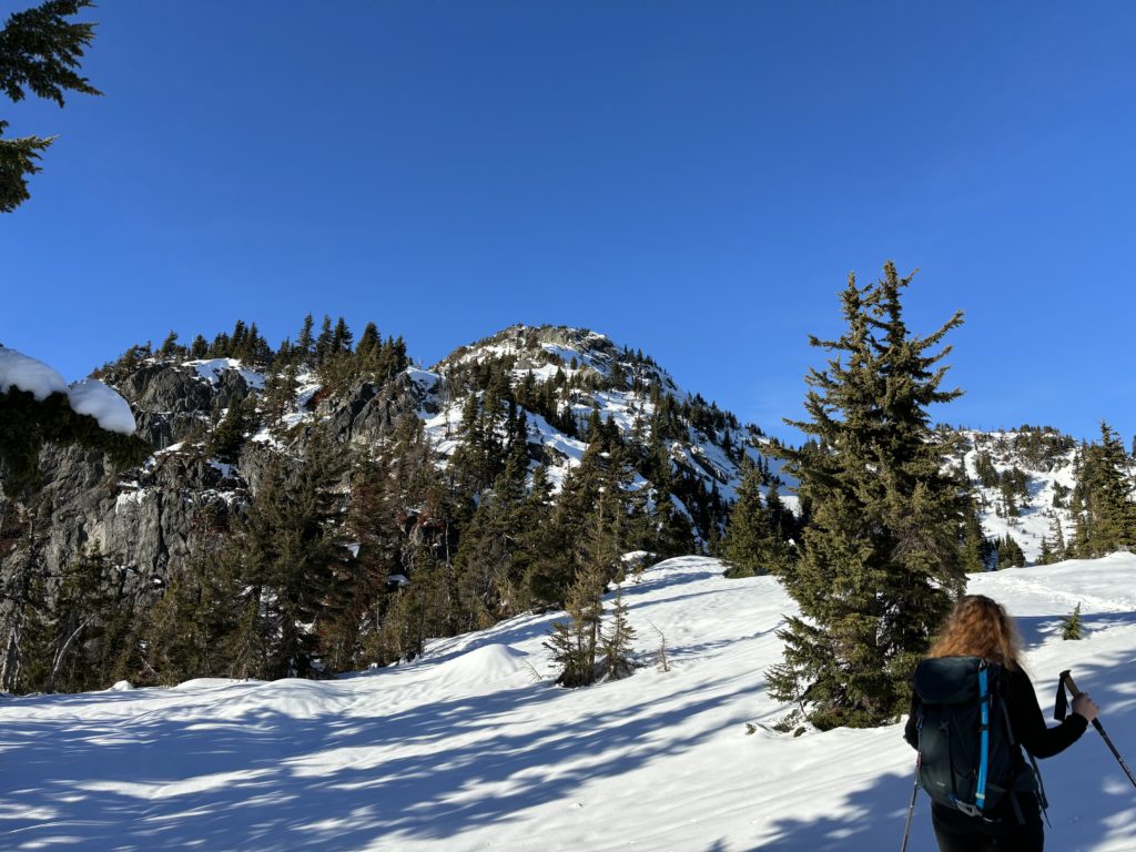
Now that we had our pre-broken trail it was easy peasy back to the short crux. We managed that steep short section without any issue and then continued down to the road. Regaining the ridge was a bit of a slog but then we had gravity on our side again and the rest was no problem.