Elevation Gain: 2,268m
Distance: 33.82km
Total Time: 11 hours 20 minutes
Date: January 5th, 2023
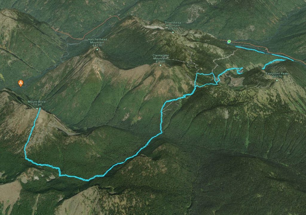
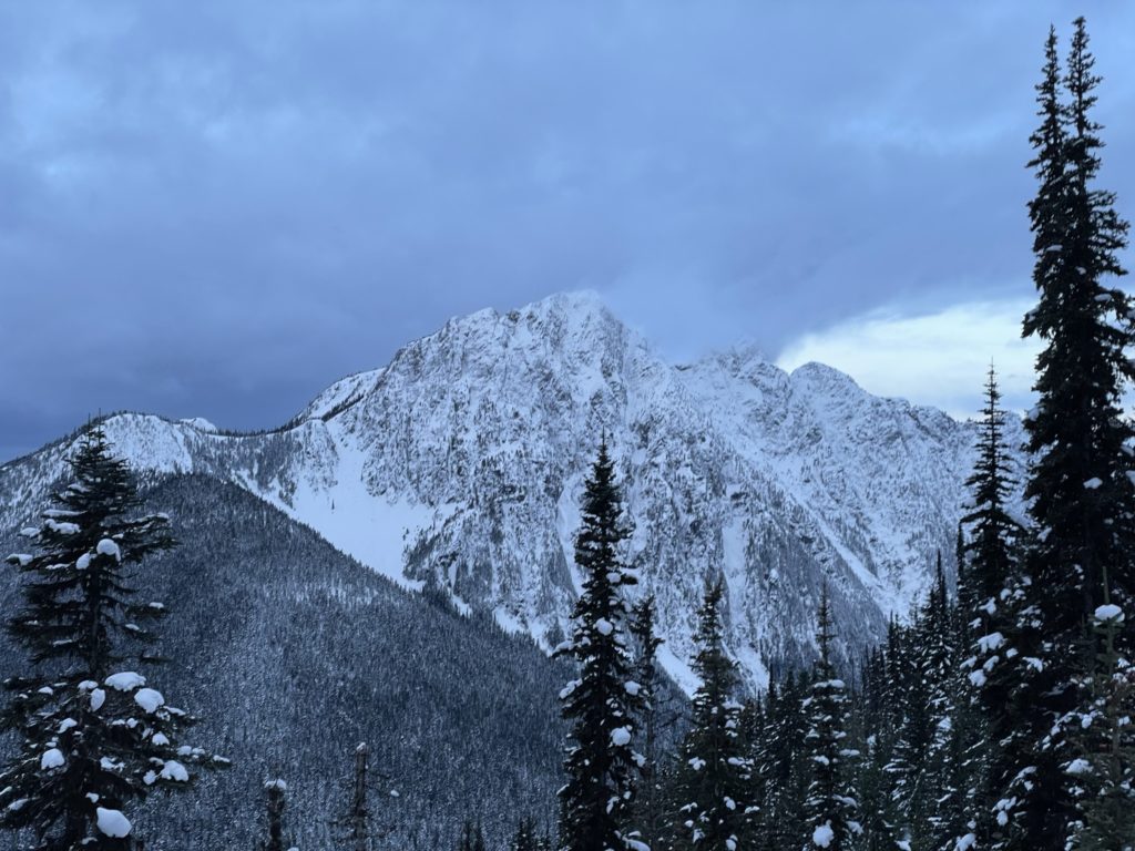
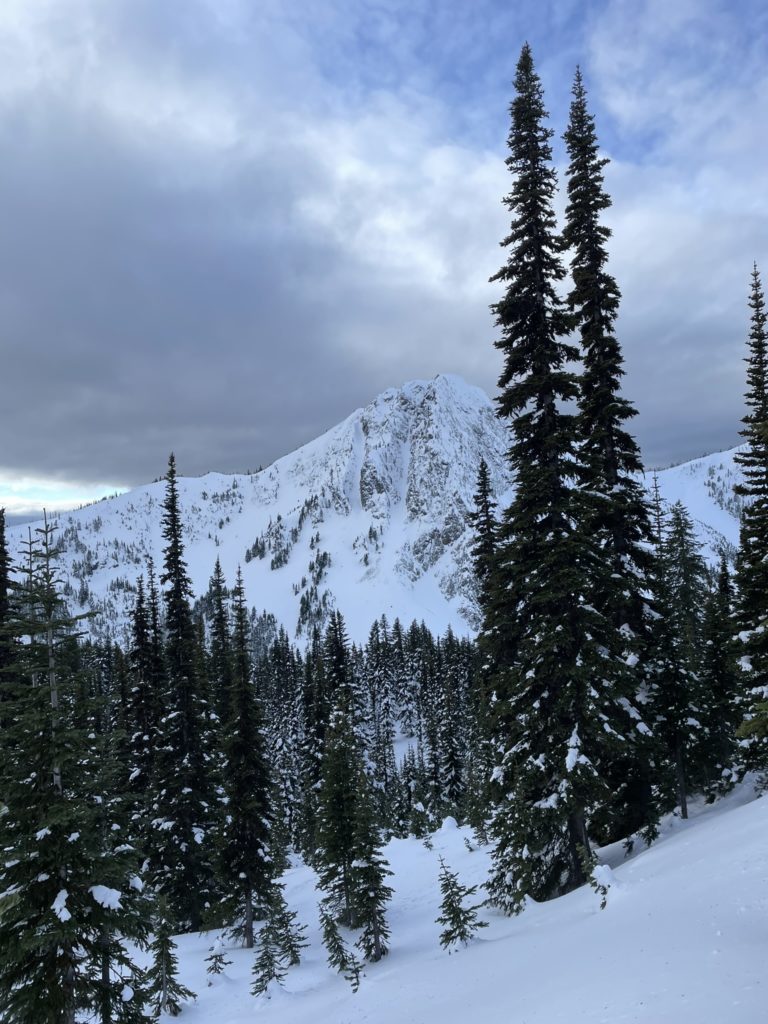
Mount Brice is a bit of an obscure peak located in the odd void between the Skagit Valley and Manning Provincial Parks. Historically the area has been used for mining and logging, especially further North near Claimstake and Silverdaisy Peak. Brice itself, sees relatively few visits and that’s in part because there are no established trails to gain the summit. Adding to that, the historical flooding in 2021 has shut down the Silver Skagit FSR indefinitely and that makes access especially challenging.
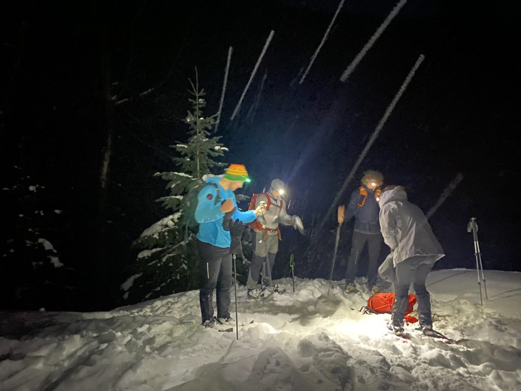
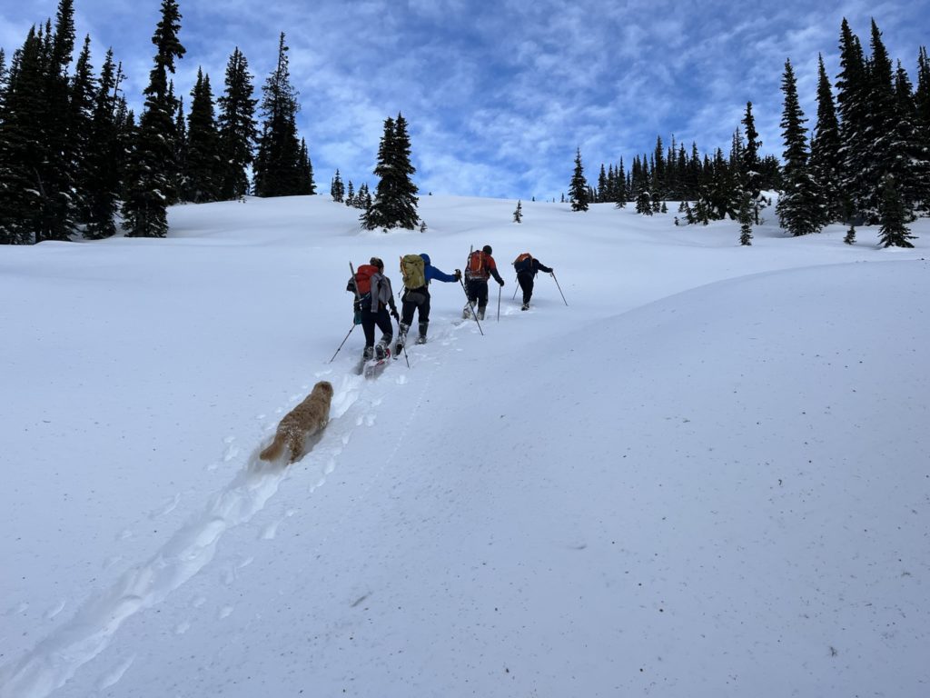
Elise and I had been discussing doing the nearby peak of Silverdaisy initially, but her friend Matt proposed Brice a few days prior. Matt had a new route planned out that did not require using the Silver Skagit FSR. The downside… a 30+ km day with a 500m elevation loss before ascending 1000m up to the summit. That of course must be repeated on the way back. I’m always in for an exploratory adventure though, so the new plan was a go. We’d have a crew of 5 and that would hopefully reduce the trail breaking duties for everyone.
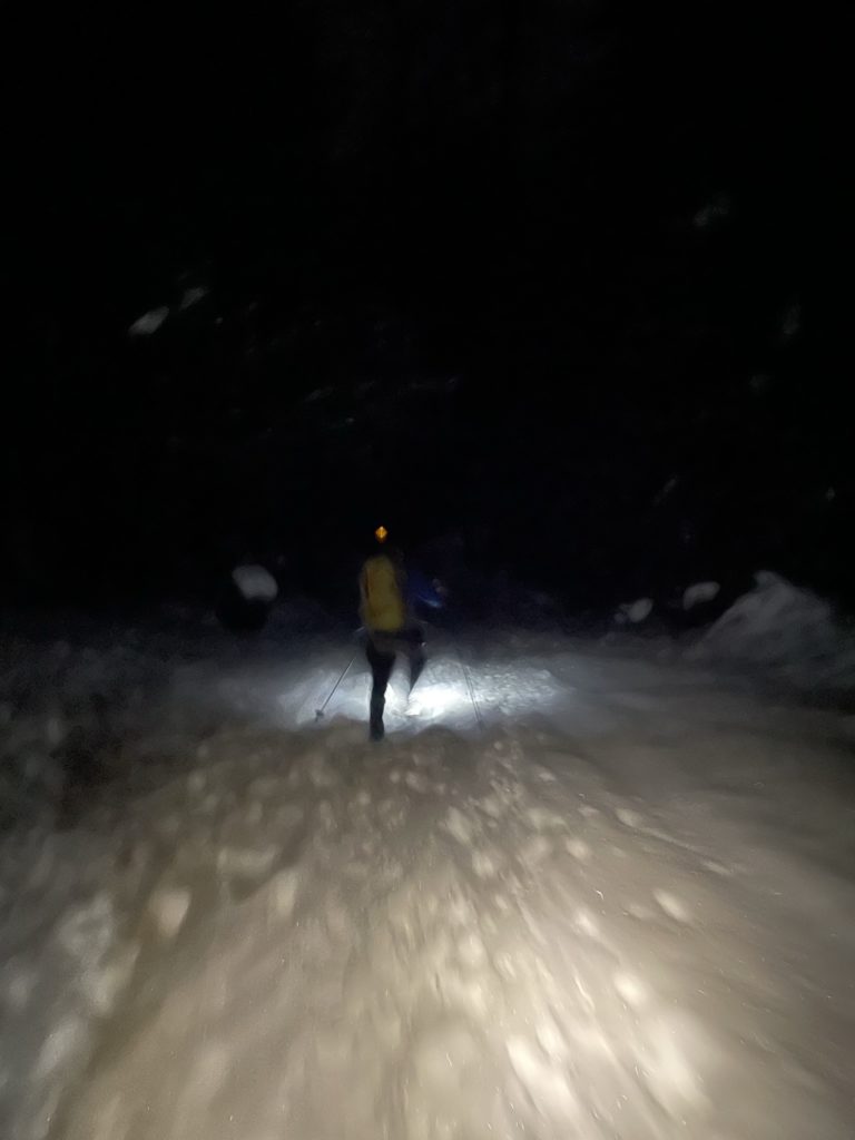
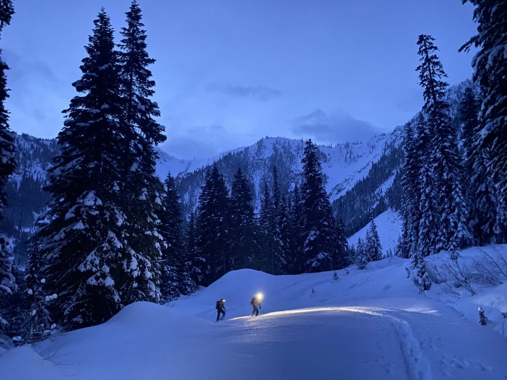
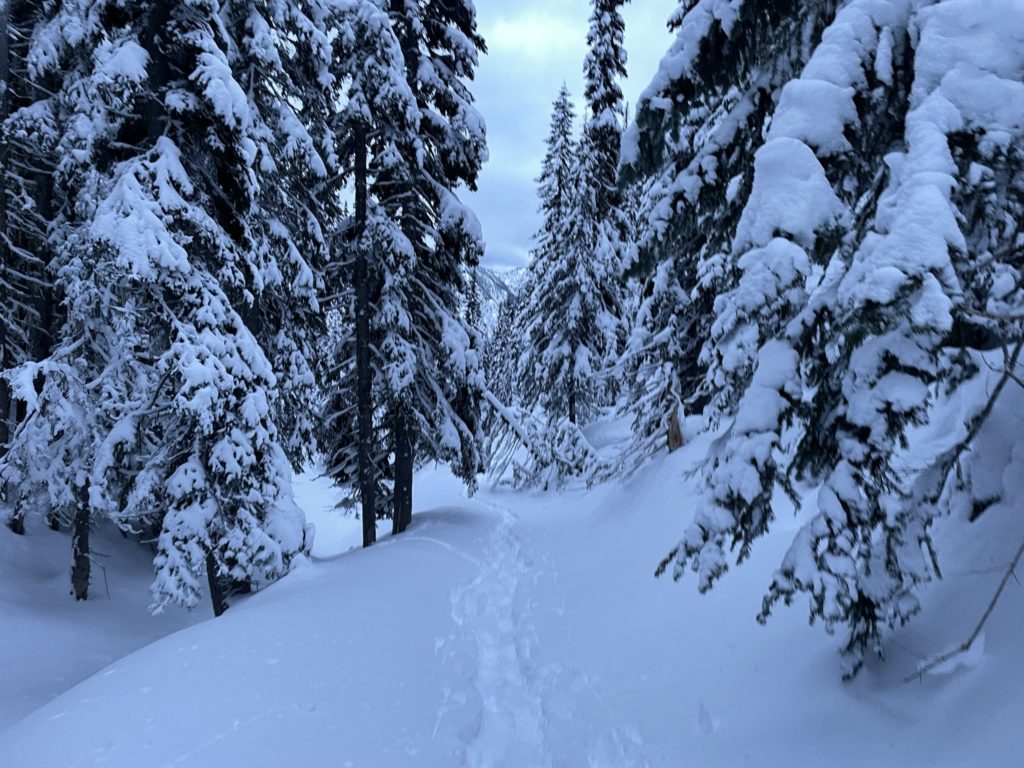
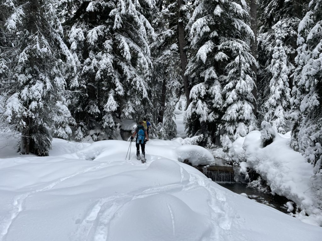
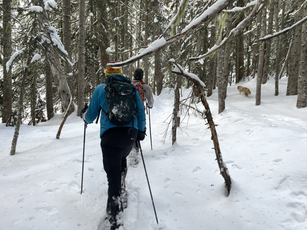
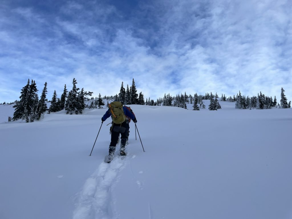
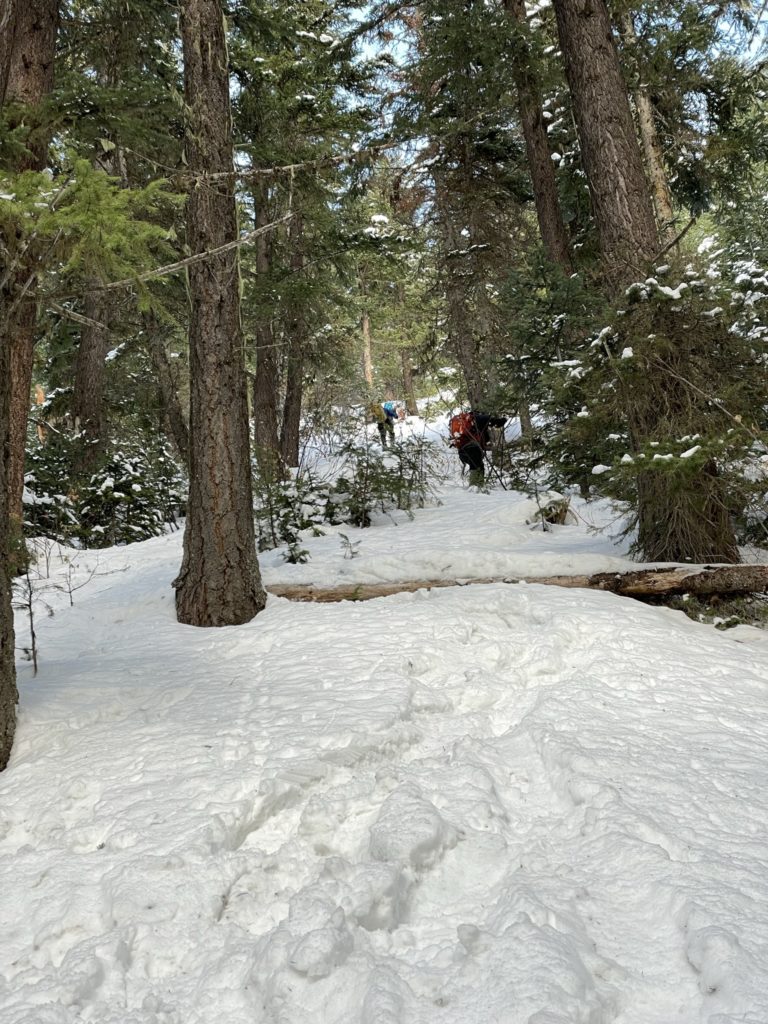
On the 5th of January, I left my place around 2am and drove out to Elise’s. From there she drove us out to Abbotsford to pick up Steven and then we made the 2 hour drive out to the trail head to meet Matt and Chris. By 5am we were on the trail setting a markedly fast pace, swapping leads when one person got tired. We were mostly expecting firm road conditions, but unfortunately the snow was not entirely supportive so trail breaking it was. The first section is a bit of slog in the dark, is the road winds up and around Silverdaisy and Claimstake for over 10km.
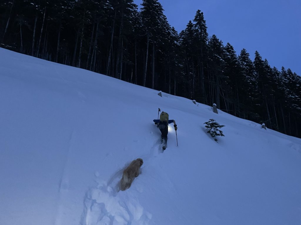
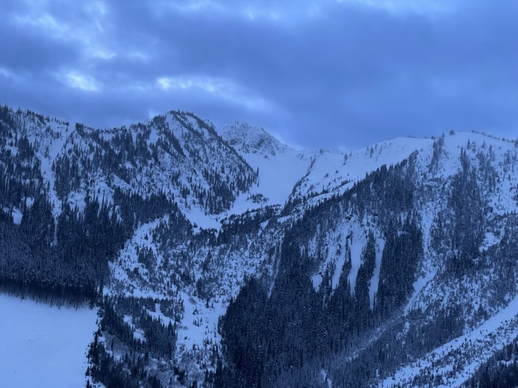
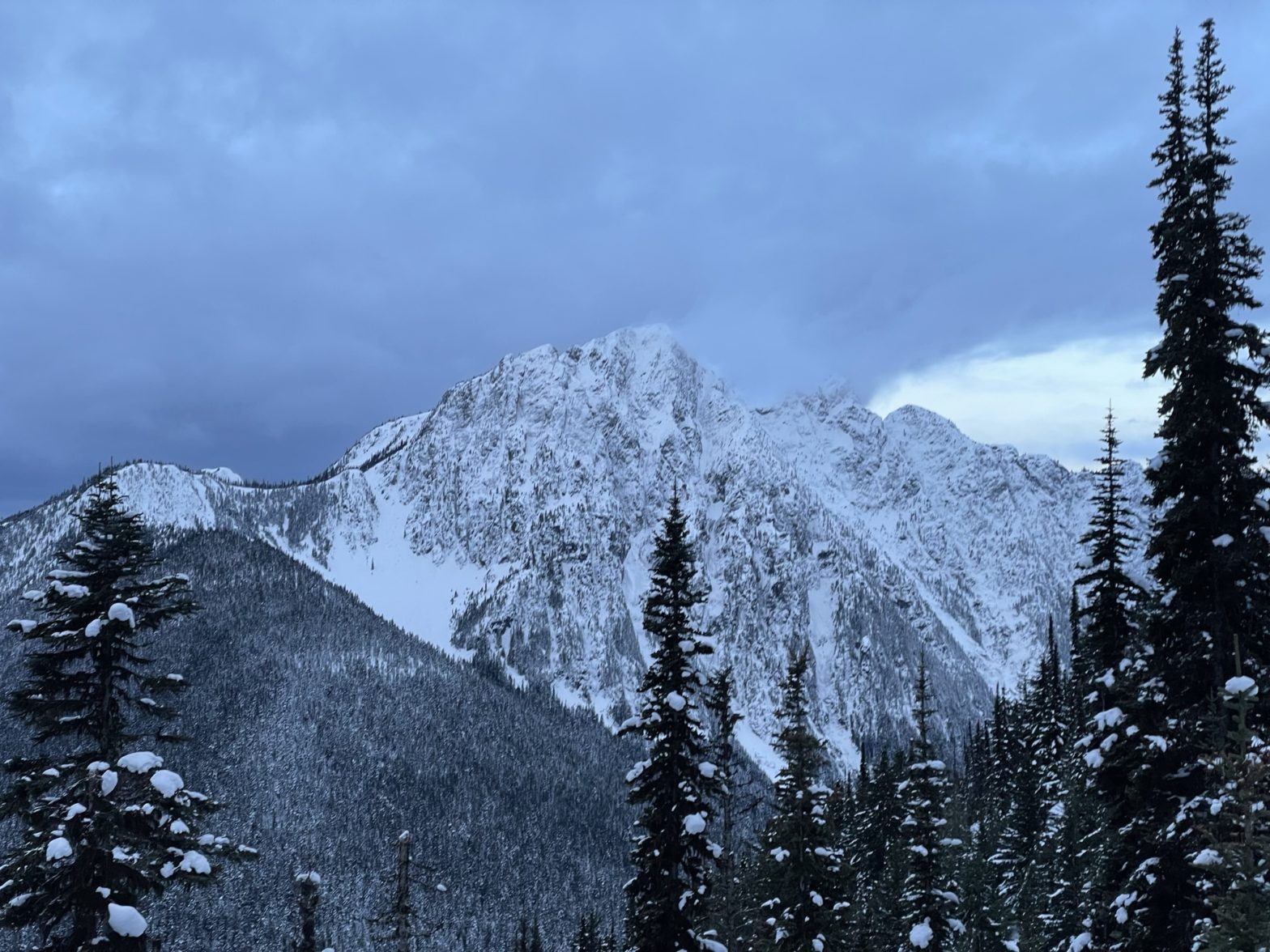
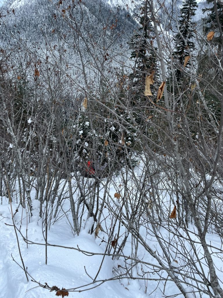
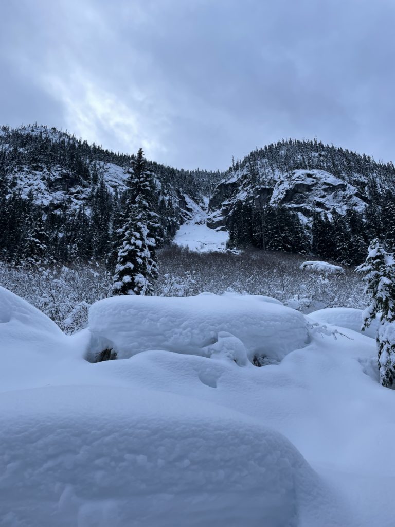
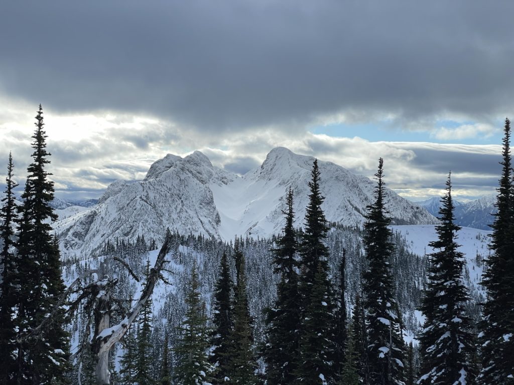
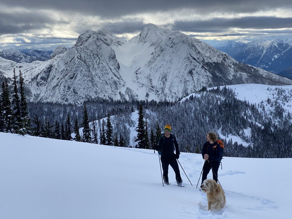
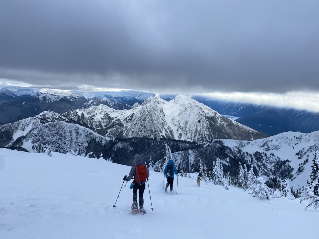
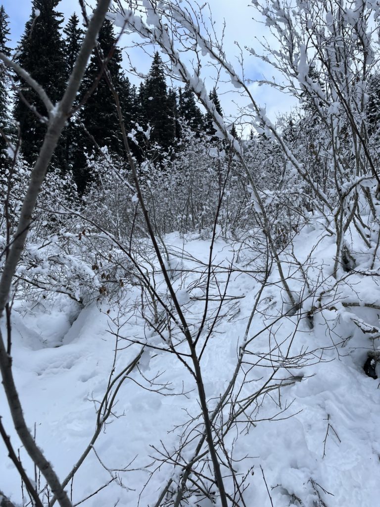
By the time we reached the col between Eastpoint Peak and Claimstake, it was now sunny and the snow-laden winter terrain provided some much needed motivation to keep moving. From the col, we began the long drop down to the valley floor between Mount Brice and Claimstake Peak. Initially we descended a moderate service road, but that tapered off at around 1500m. Now we had a brief stint descending steep forest then bashed alders down an avalanche gully all the way to the bottom. We had a nice break once we regrouped and then Matt and Steven lead us on a contouring route around the Eastern flanks of Mount Brice.
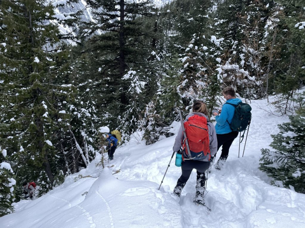
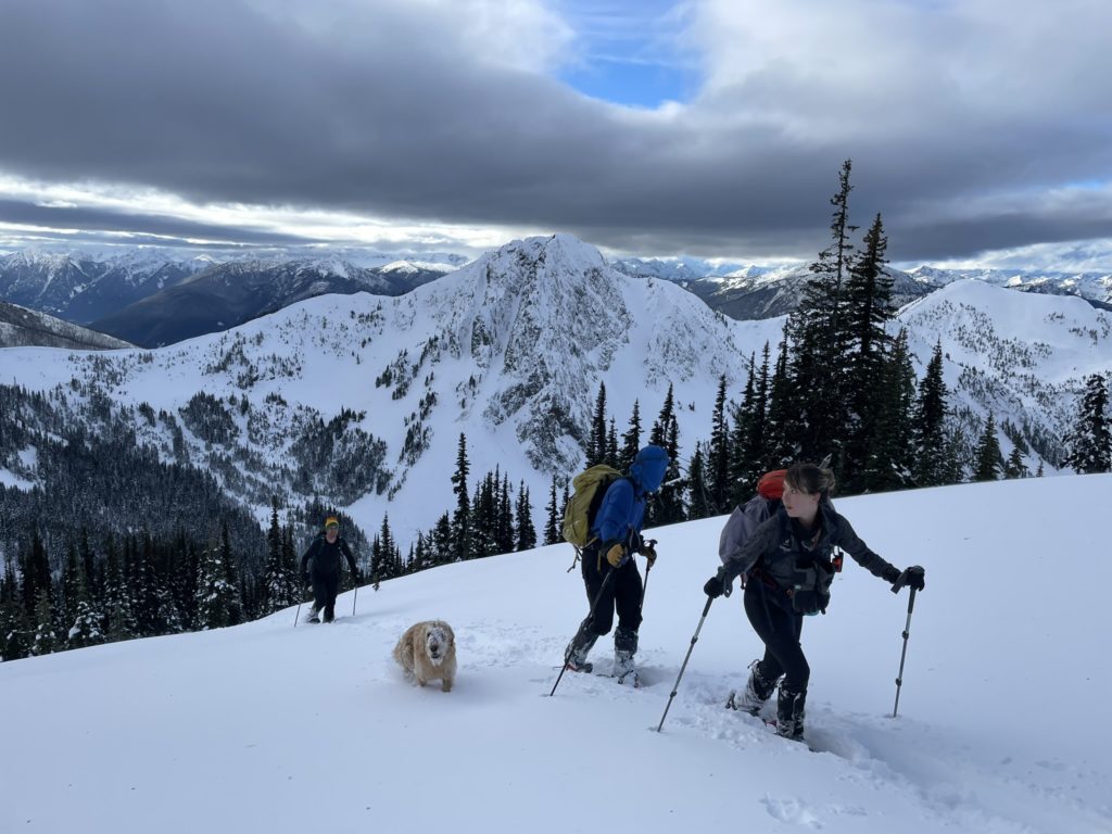
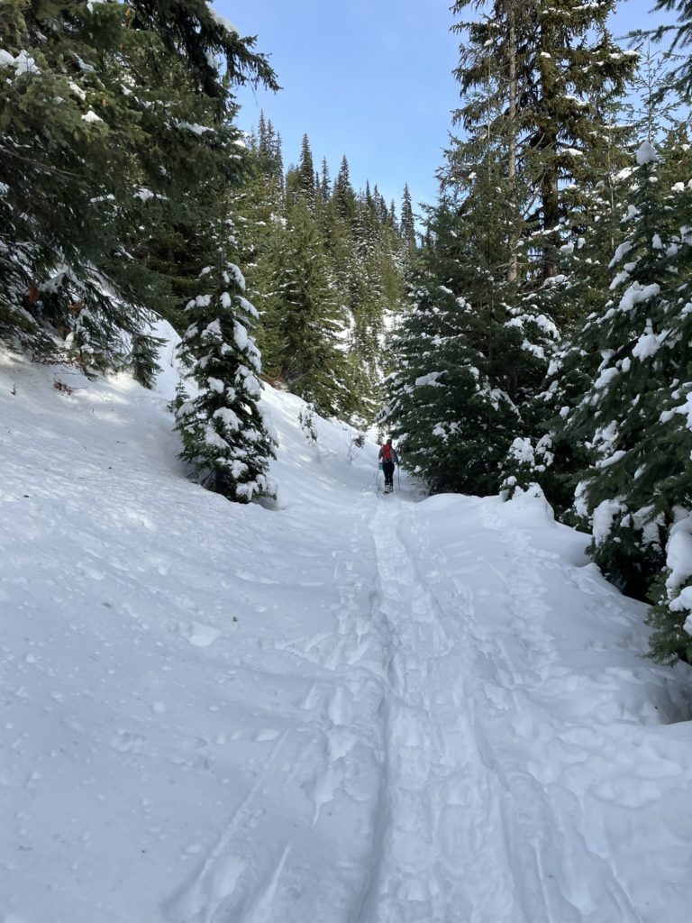
We rose steadily up from the valley, loosely following a drainage system until about 1480m. Here we veered more westerly up a small tributary creek and climbed slightly steeper forest up to the Southern ridge line. Steven and Matt did the bulk of the trail breaking and I just did my best to keep up. Chris and I swapped in for a session part way through, but it was short-lived compared to everyone else’s long stints. At the ridge line, we ascended further up until the ridge connected with the broad, tame Southern face to the summit. The snow was quite deep in places, but not heavy enough to destroy our morale.
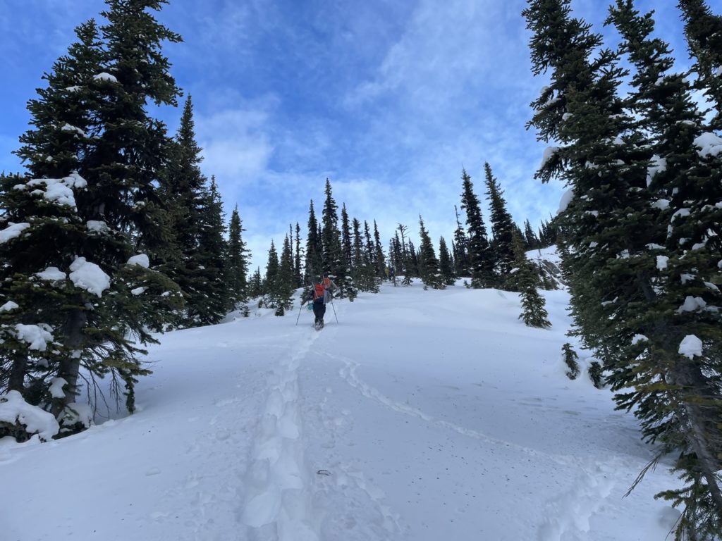
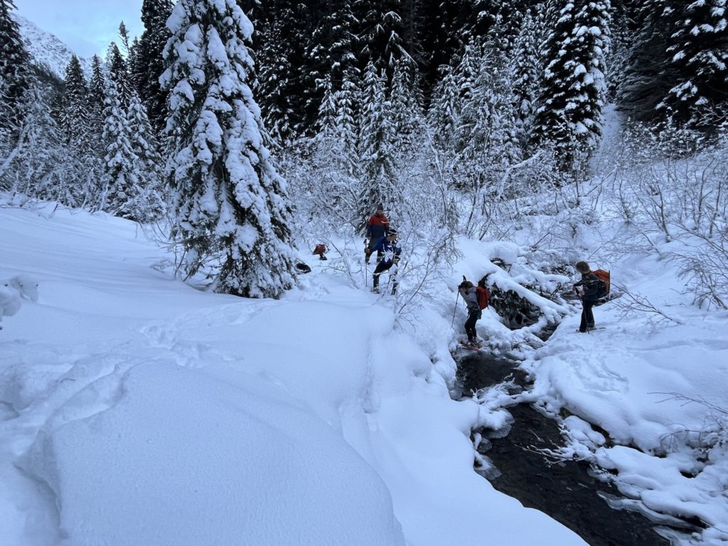
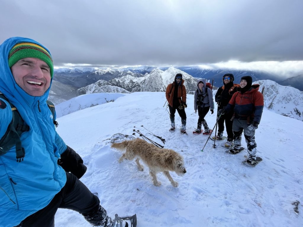
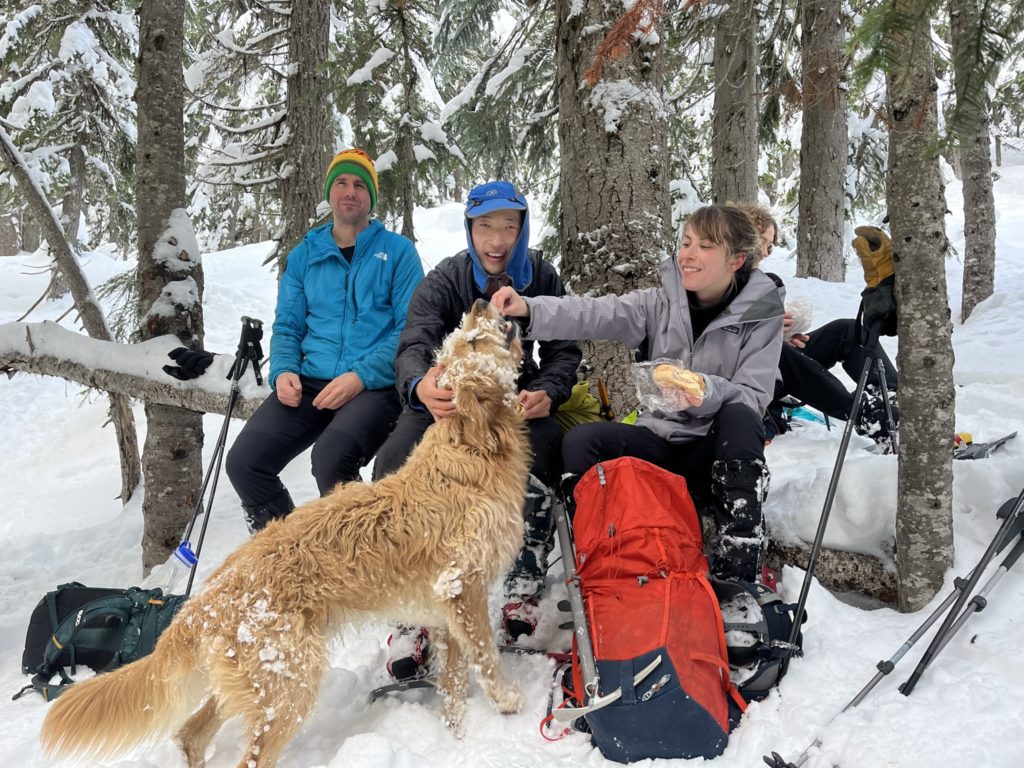
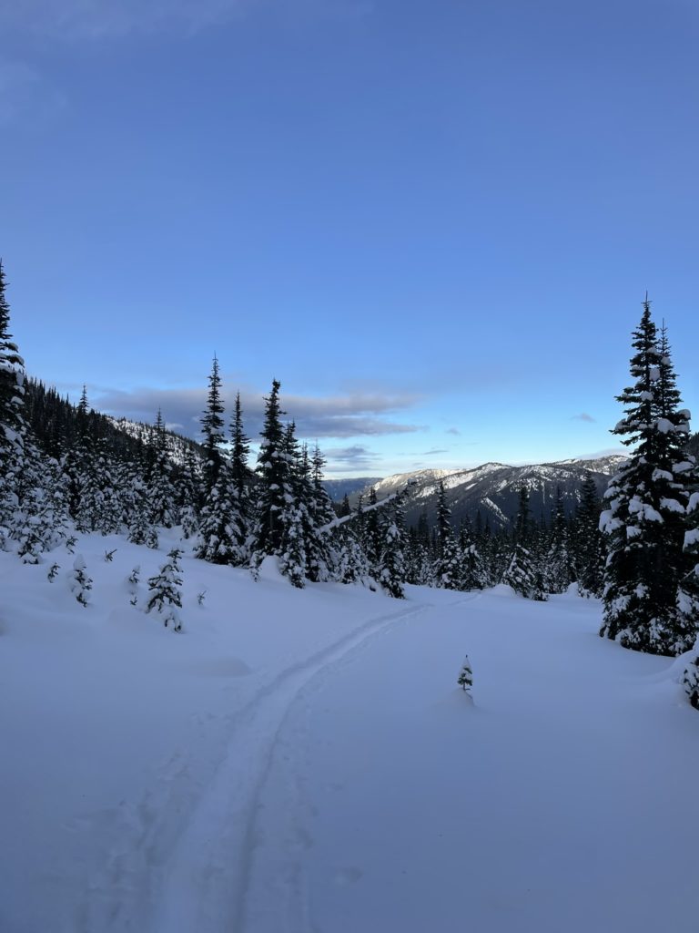
Steven and Matt once lead us all the way to the wind-scoured summit where we briefly grouped up for some photos and celebrations. Matt lead the charge on the descent and found a sheltered area further down in the forest for us to stop and eat. After a nice recharge from some food, we began the trek back to the base of the avalanche gully. Everyone spread out to make their own pace, but we kept eyes on each other. Eventually we reached the base of the gully and paused for one last break.
Now it was time to charge up the steep avalanche path and it was a difficult task to reconcile. One step at a time I pushed my way up though and after 40 minutes of slogging, reached the service road. The uphill wasn’t done yet, but the steep stuff was out of the way at least. We continued the march up the road and reached the col another 20 minutes later. It’s all down hill from here! Chris and Matt pushed on ahead while Steven, Elise and I paused for a little longer of a break.
This paid off for Elise and I as Steven cunningly located a shortcut to bypass the switchbacks. We roughly followed some old skin tracks and arrived much further down on the service road. In total we probably bypassed over a kilometer of switch backs and I was very thankful for that. The grand finale is just another 7km of road plodding that began to feel like a death march. My legs were nearing there limits, but I pushed on as there’s only person getting me to the car and thats… yes. Me!
Just before dark, I reached the parking lot where Steven, Matt and Elise were waiting. I wasted no time swapping into some dry warm clothing and then we dashed off to Hope to regroup for some dinner. After that it was an uneventful drive all the way back to Vancouver.
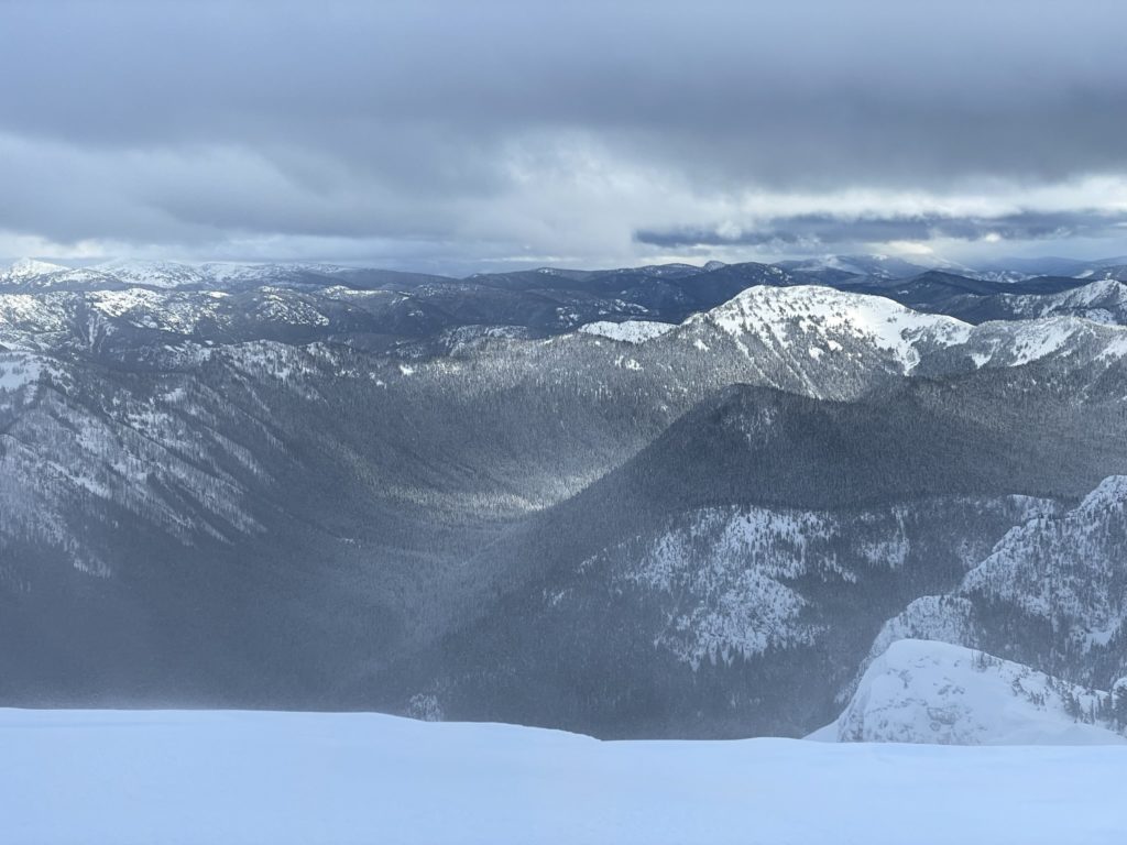
I was really happy to get out on such a huge day and with a really strong fun crew no less. We all agreed by consensus that this route is only feasible in the winter time, but the plus is that there’s no need for crampons or ice axes to gain the summit by the south side. As is common in the area, the north faces have massive reliefs while the southern aspects offer tamer slopes to ascend. This is a straightforward summit to ascend with only snow shoes, but one must be cognizant of avalanche conditions as the gully we descended most certainly slides.