
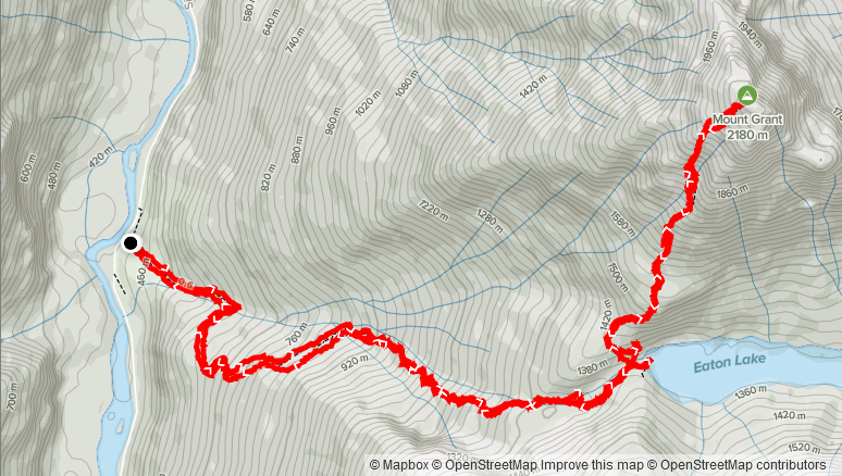
Elevation Gain: 1,777m
Distance: 13.09km
Total Time: 6 hours 29 minutes
Date: October 2nd, 2021
The weekend of October 2nd was slated to be a fantastic sunny one with both Saturday and Sunday providing good summit opportunities. However, by Thursday the forecast had bounced back and forth between rain and sun until it finally settled on a high chance of rain on the north shore and sea 2 sky area for Saturday. I had plans Sunday, so this dashed my chances of doing two peaks high on my list before the snow becomes a permanent fixture. Feeling a bit deflated, I didn’t bother picking out something else to do and essentially wrote the weekend off for grabbing a peak. However, my friend Mike came to the rescue as he was keen on getting out and had found suitable weather towards Hope. He suggested tagging Mount Grant as the peaks around Eaton Lake were on his list for awhile now. I didn’t know much about Mount Grant, but I recalled seeing it in Matt Gunn’s book. A bit of research showed its located south of Hope along the Silver-Skagit FSR and is the highest peak around Eaton Lake. Mike mentioned it was a mellow ascent, so I didn’t bother looking more into it except to grab a GPS track I discovered on Steven’s site.
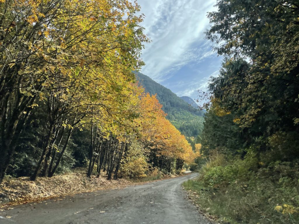
On the Saturday, I left Vancouver around 8:15am and arrived at Mike’s place around 40 minutes later. Mike then took us in his car all the way to the trail head. The FSR was in good condition albeit with some runs of pot holes that make things a bit trickier for 2WD cars. We also made some pit stops before hand and so didn’t arrive at the trail head until just before 11:30am.
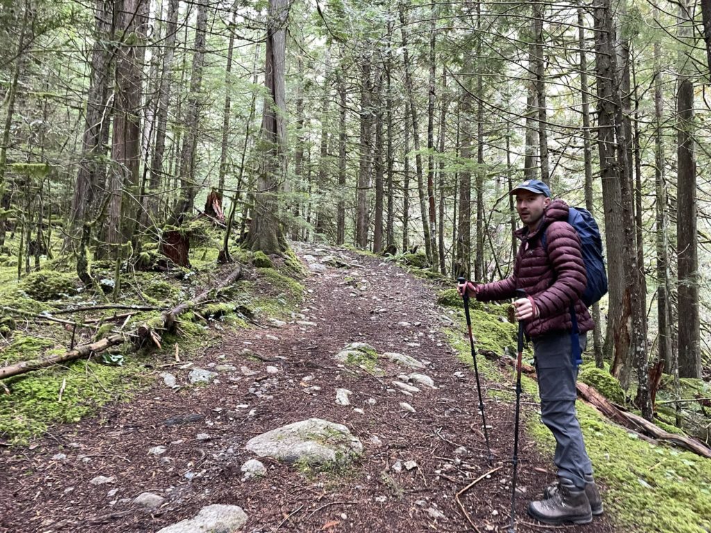
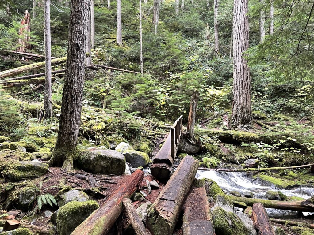
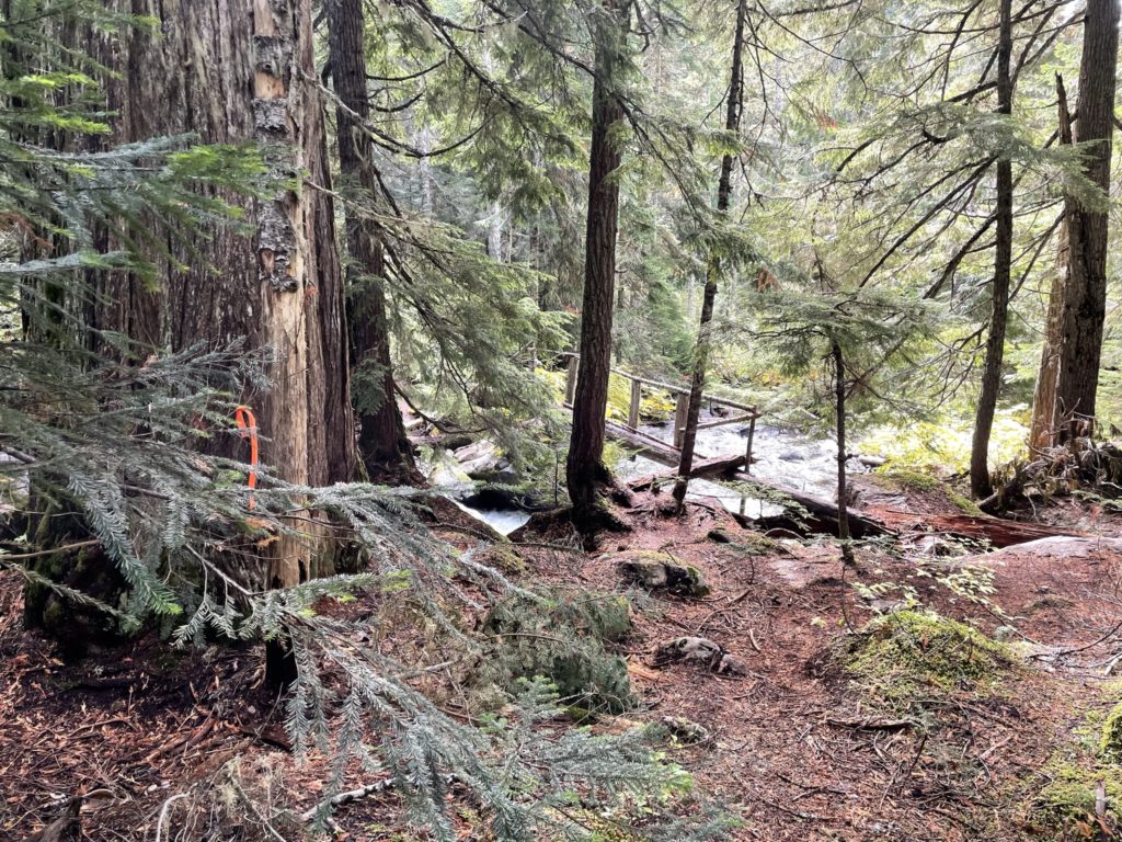
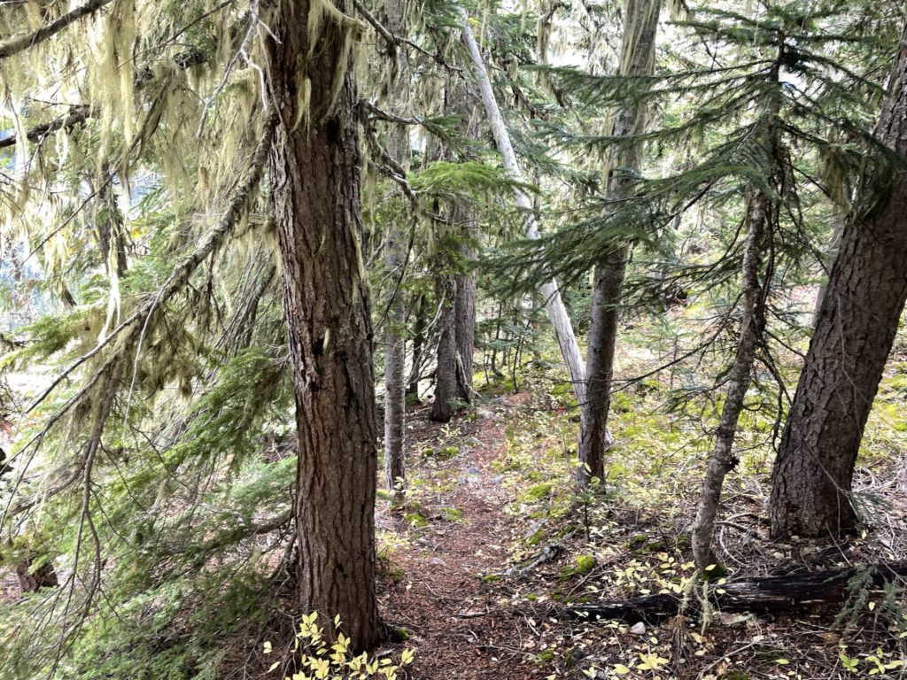
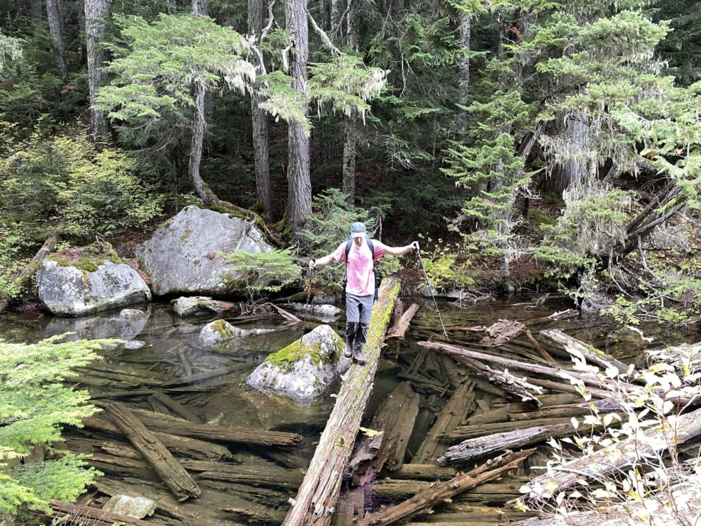
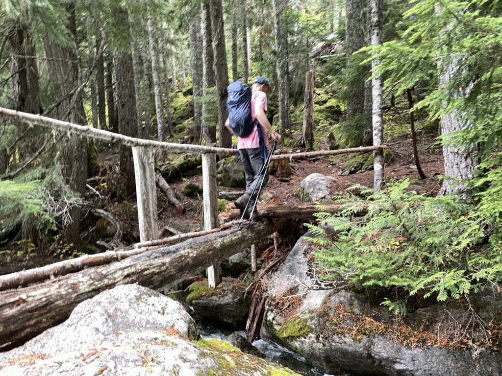
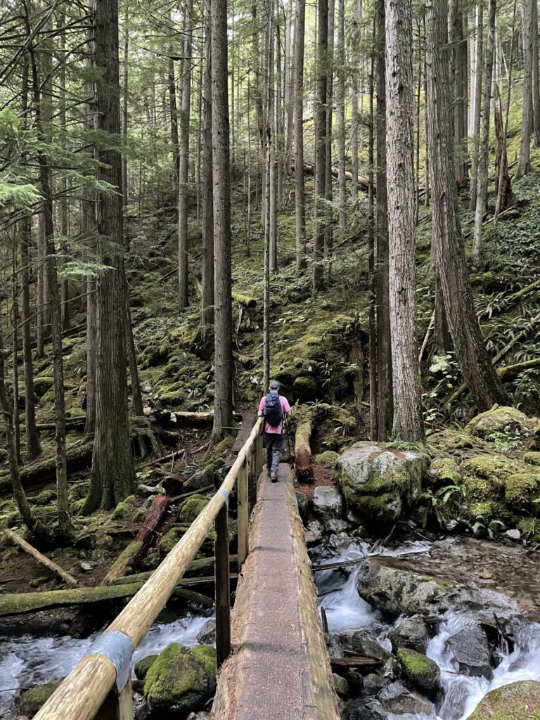
By 11:45am we were walking down the Eaton Lake trail with a good pace. With the late start we had time working against us, as the sun would set by 6:44pm that day. 7 hours seemed manageable according to Mike, but we opted to push hard to the lake to give us extra leeway. Most of the route up to Eaton Lake was very straight forward and a great trail by BC standards. We encountered one big creek crossing via a log bridge at the beginning and then it was easy trail walking until a final one higher up that we initially thought was closed. We took a detour higher up and crossed the creek on a sketchy log and then it was a short walk to the lake side.
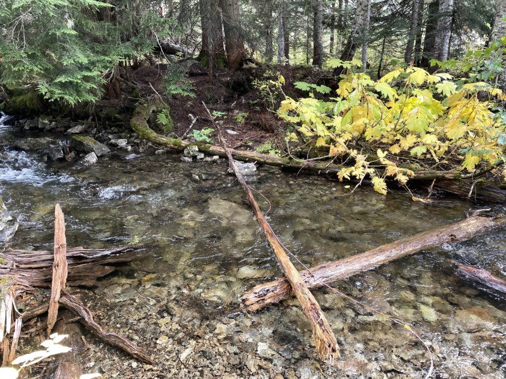
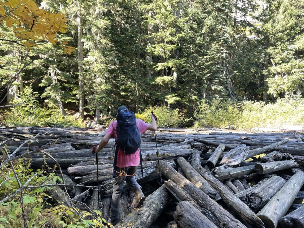
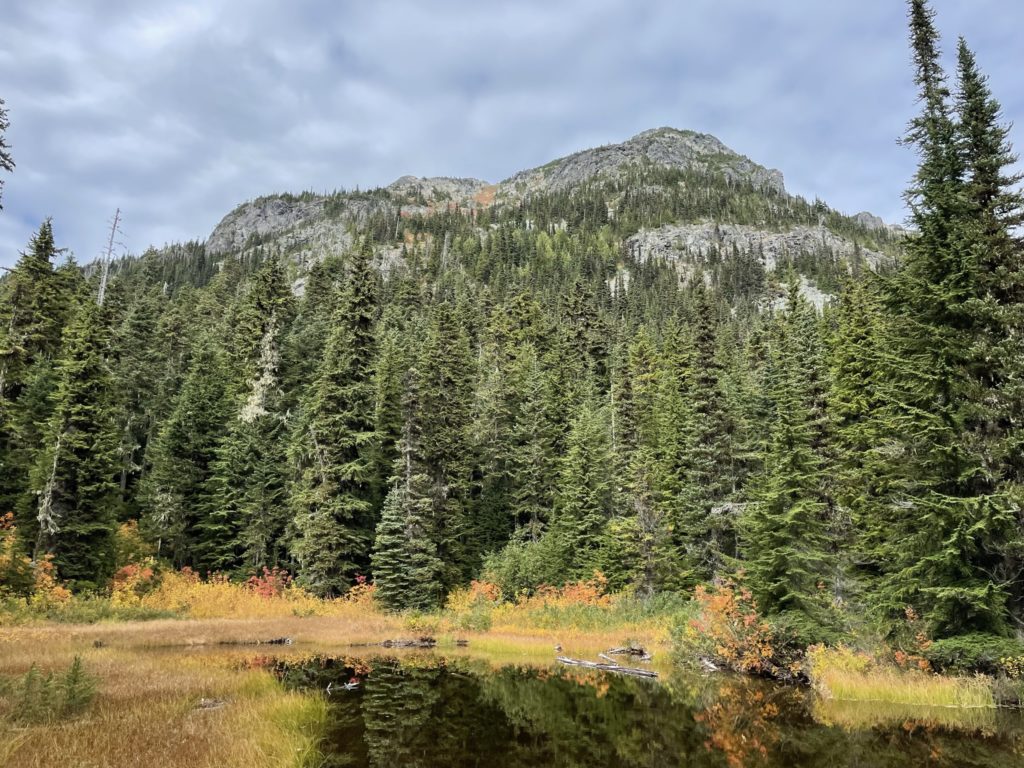
At the lake we hung out and had some lunch while discussing the approach to the summit. Mike had spotted a crossing across a floating menagerie of logs that dammed the western end of the lake. On the other side was a worn foot path, so it looked like the route. When we finished up lunch, we started our crossing of the logs. Every single log was covered a slick grime that made foot placements sketchy, but we made it across without a fall.
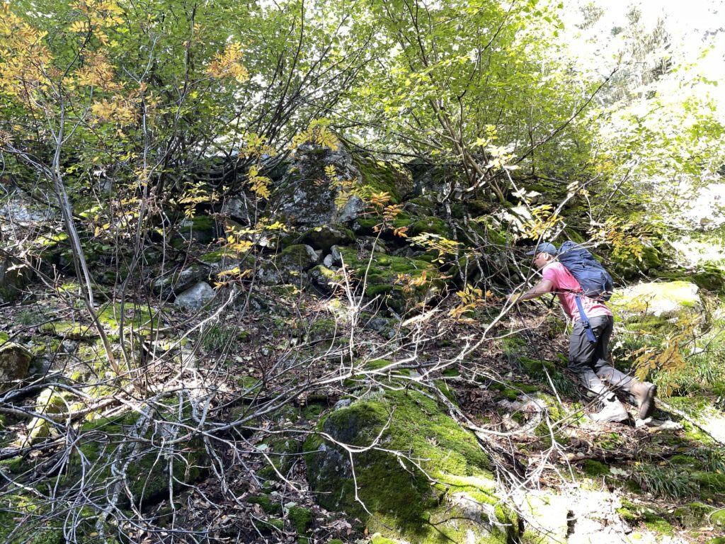
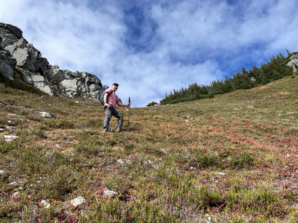
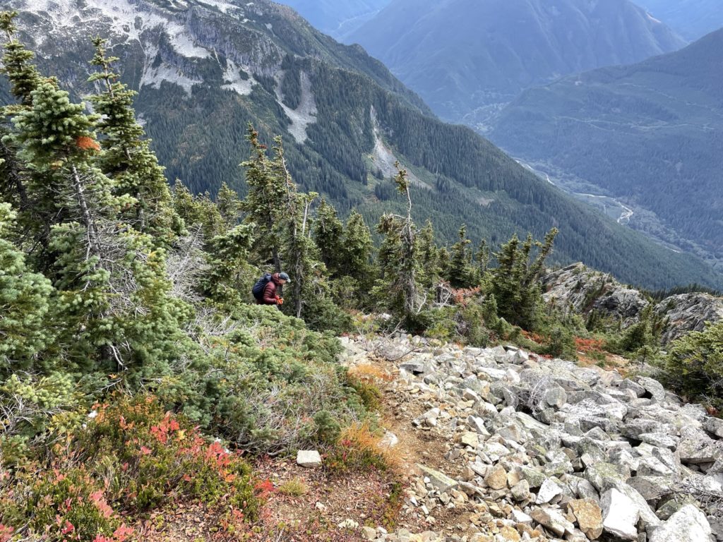
From the northern side of the lake we ascended up a narrowing foot path until the tracks ran out completely. We realized we might not be on a trail anymore and so I pulled out the GPS track for the first time that trip. Sure enough, the actual trail was about 30-40m north of us. I didn’t feel like back tracking so I lead the way bushwhacking up to a boulder field and then below some bluffs until we linked up with the trail again. Mike took the lead from here and took us along the flagged foot path towards the summit. Again, the trail was straight forward in terms of walking, but navigating was a bit trickier. We got off track and had to bushwhack back to the trail twice as the foot path got hard to spot in some places.
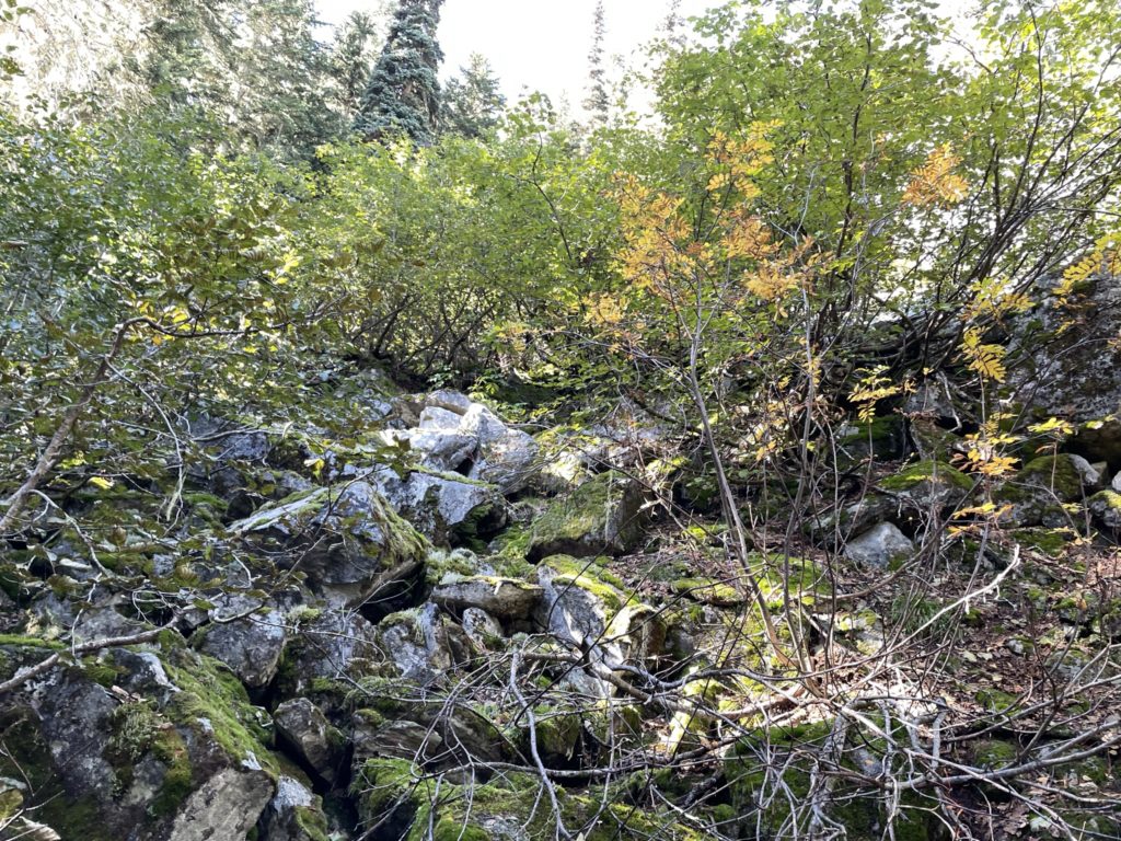
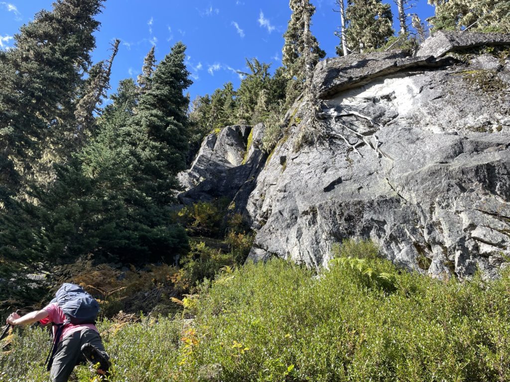
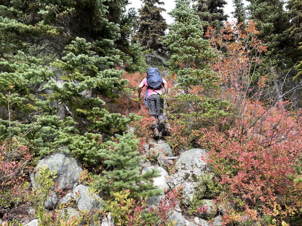
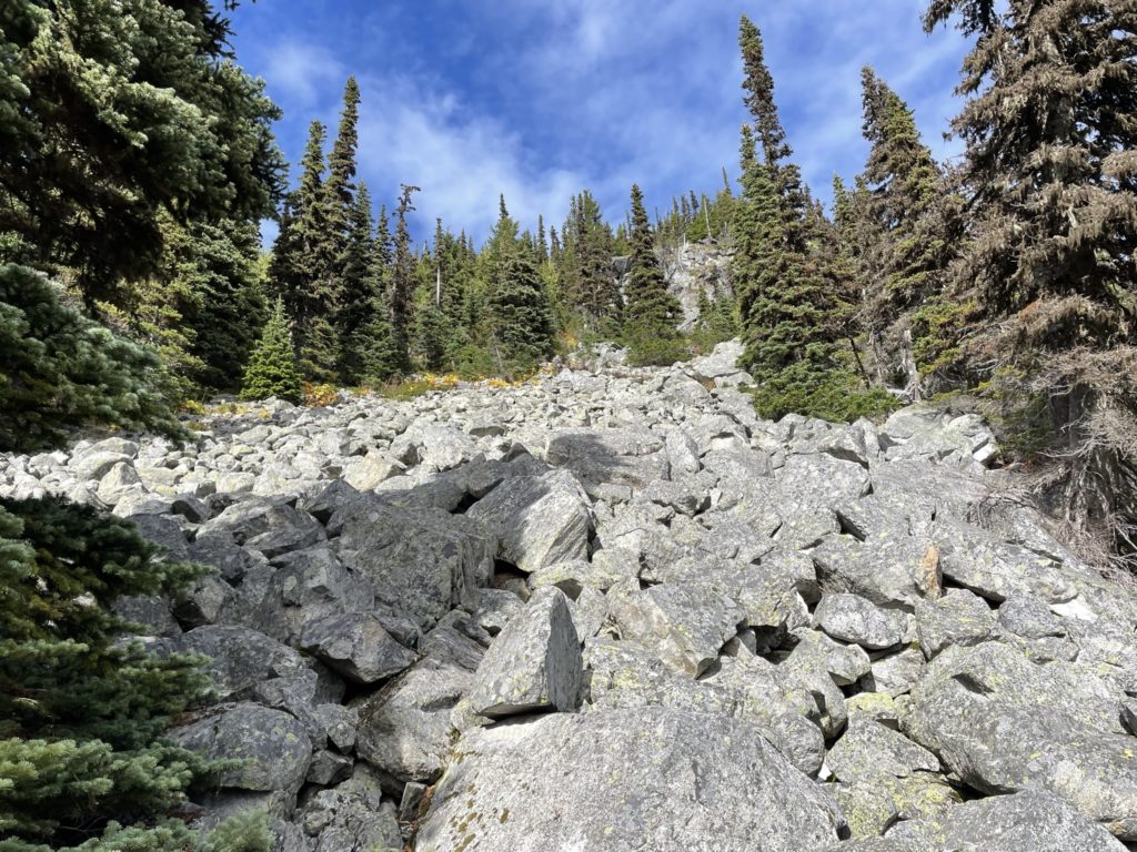
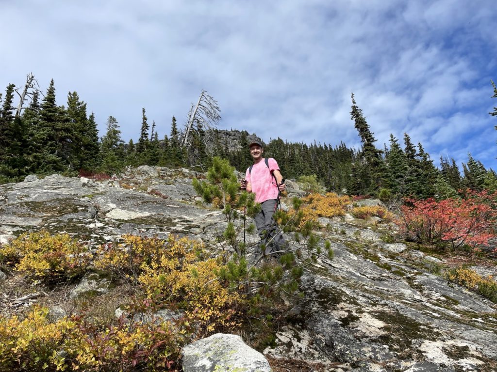
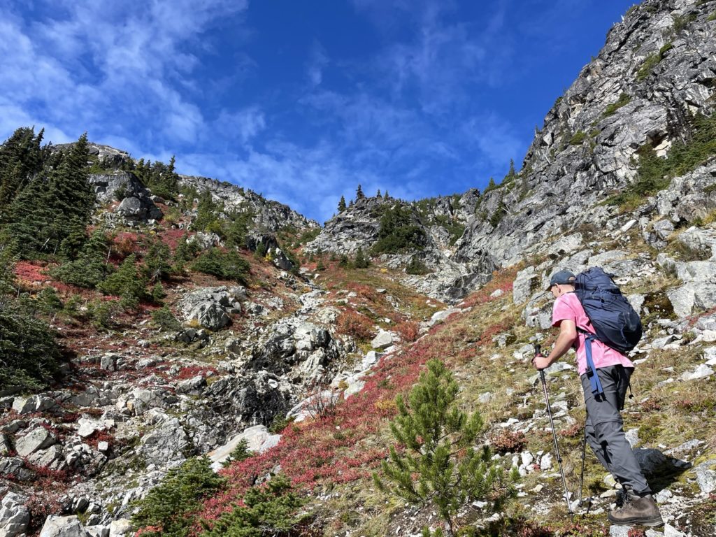
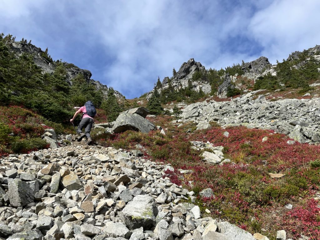
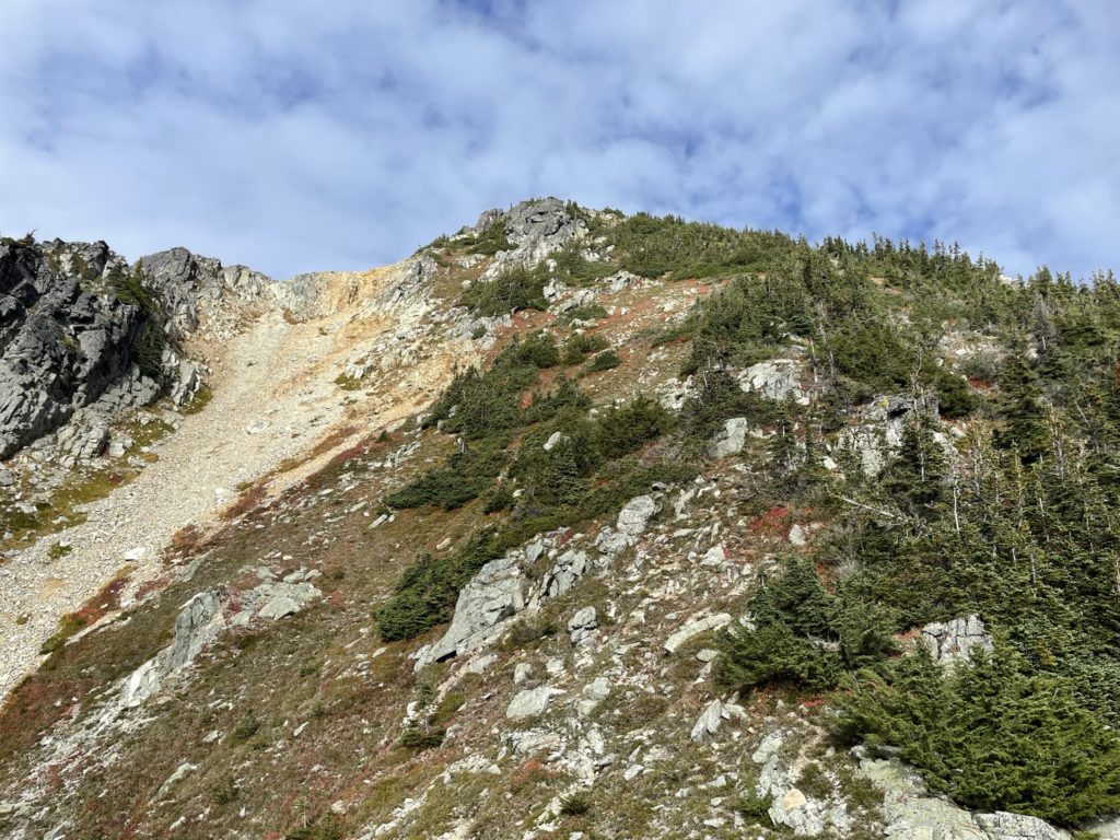
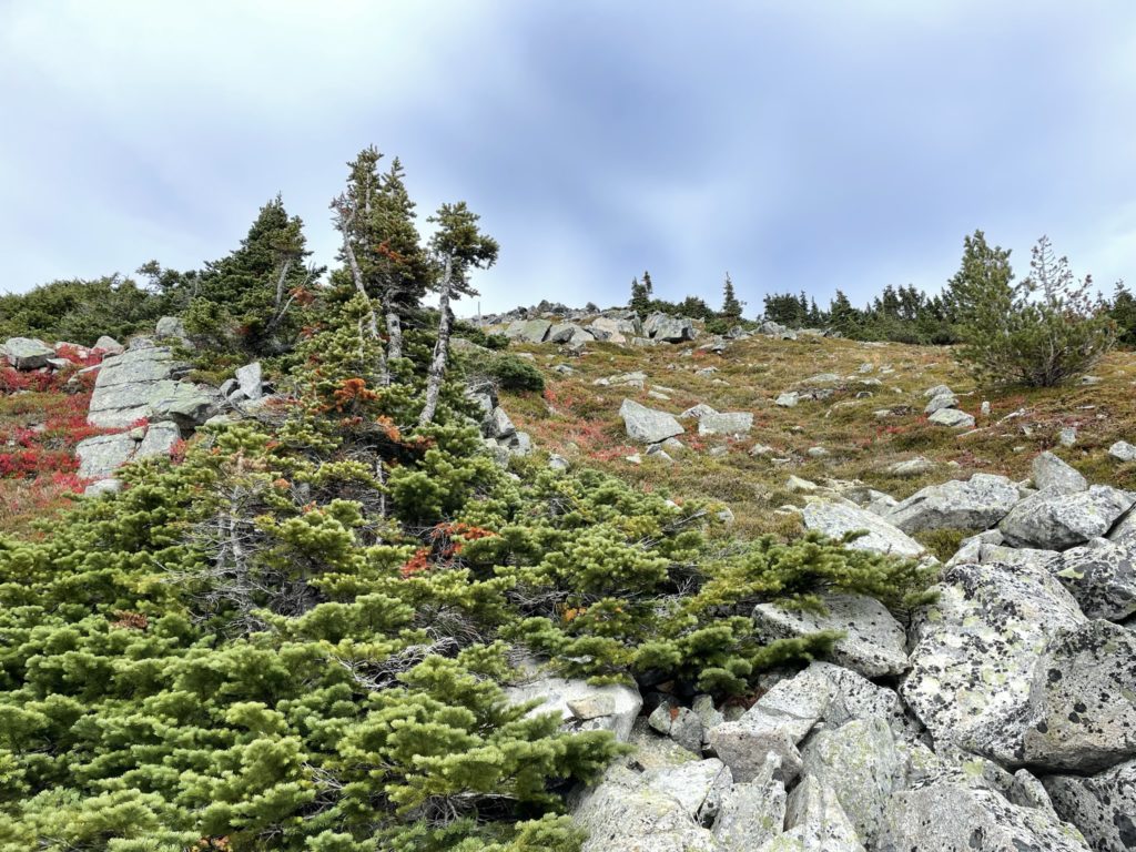
By the time we reached the 1800m elevation mark we could now see an obvious ascent gully up to the summit. It looked steep, but manageable and the trail took us there after crossing a boulder field. Ascending the gully, was a bit of a slog with about 300m or so to gain the summit from the start. There’s no obvious path on the way up, so we just picked the path of least resistance. At about 2020m, the gully joins with another to the base of a scree field, but we followed the classic route cutting right into the forested ridge. From there, it’s a simple plod up to the summit.
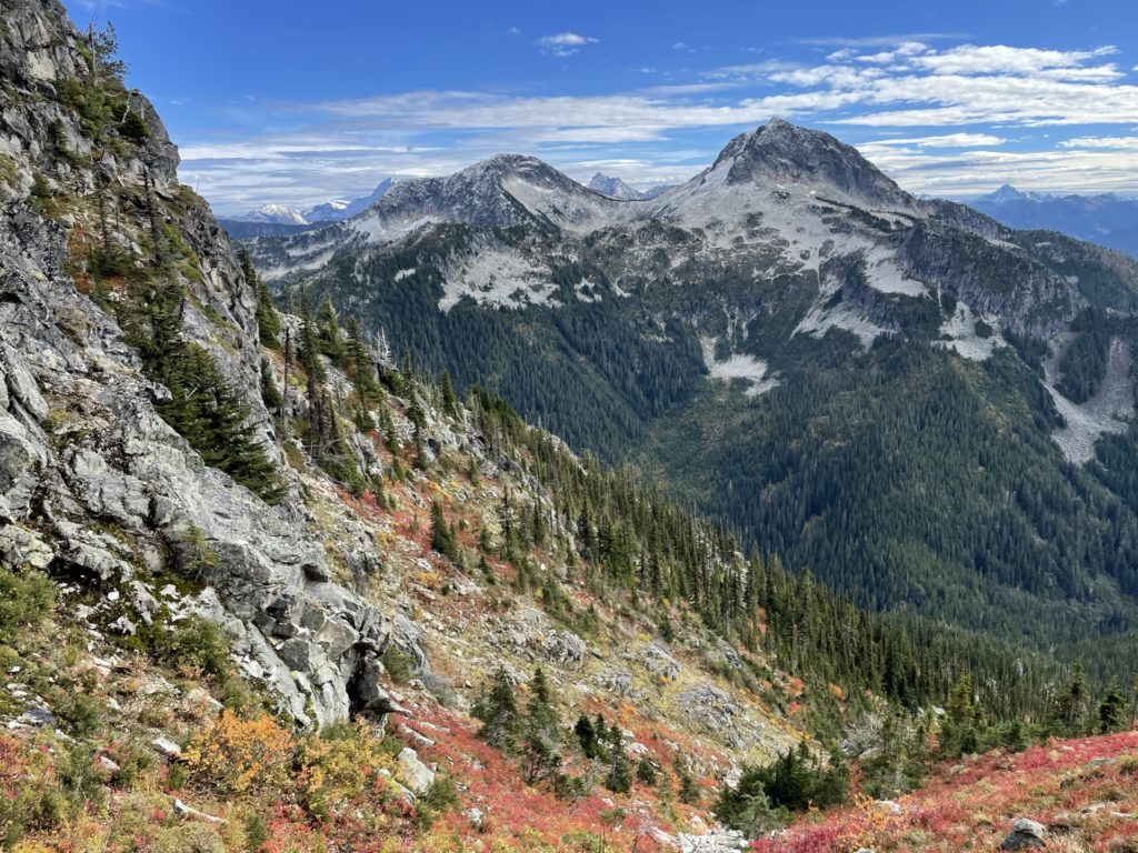
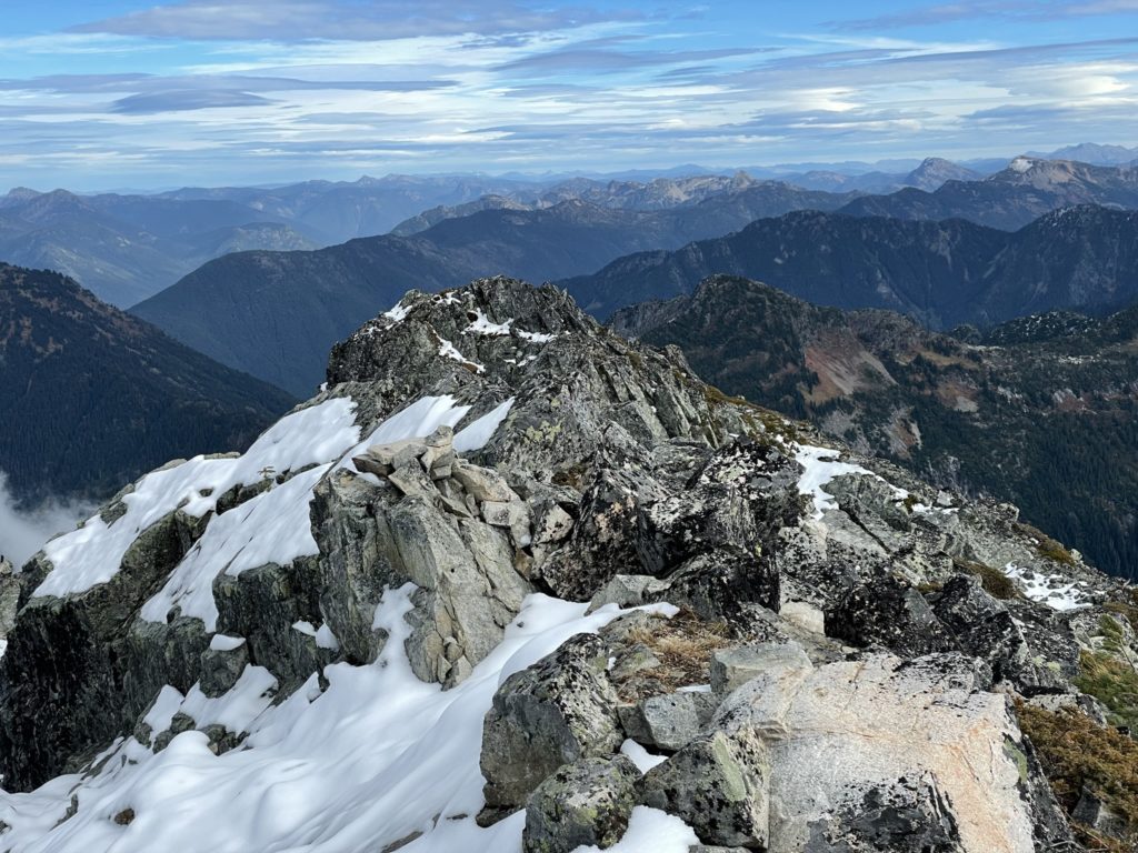
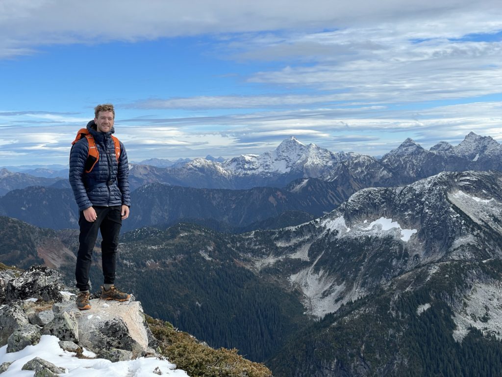
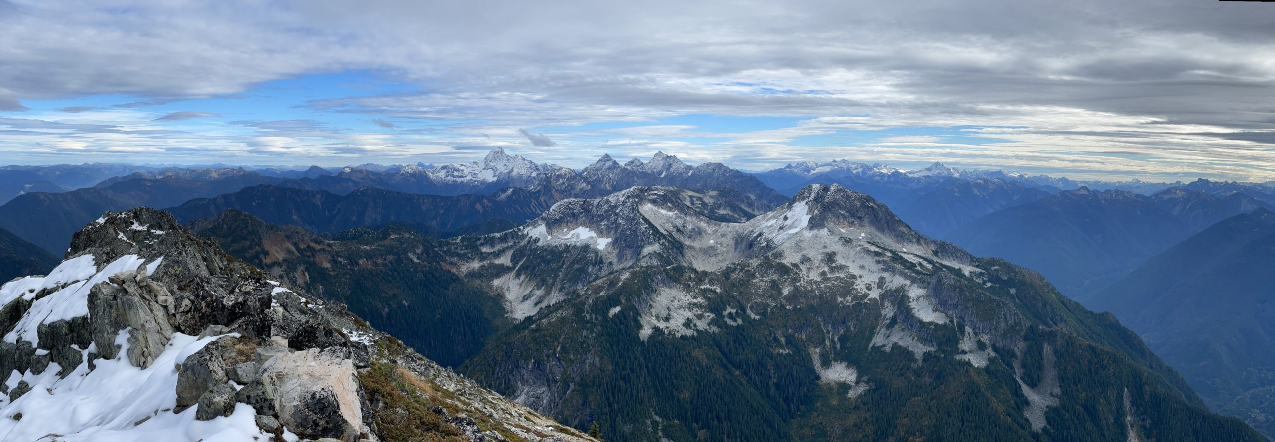
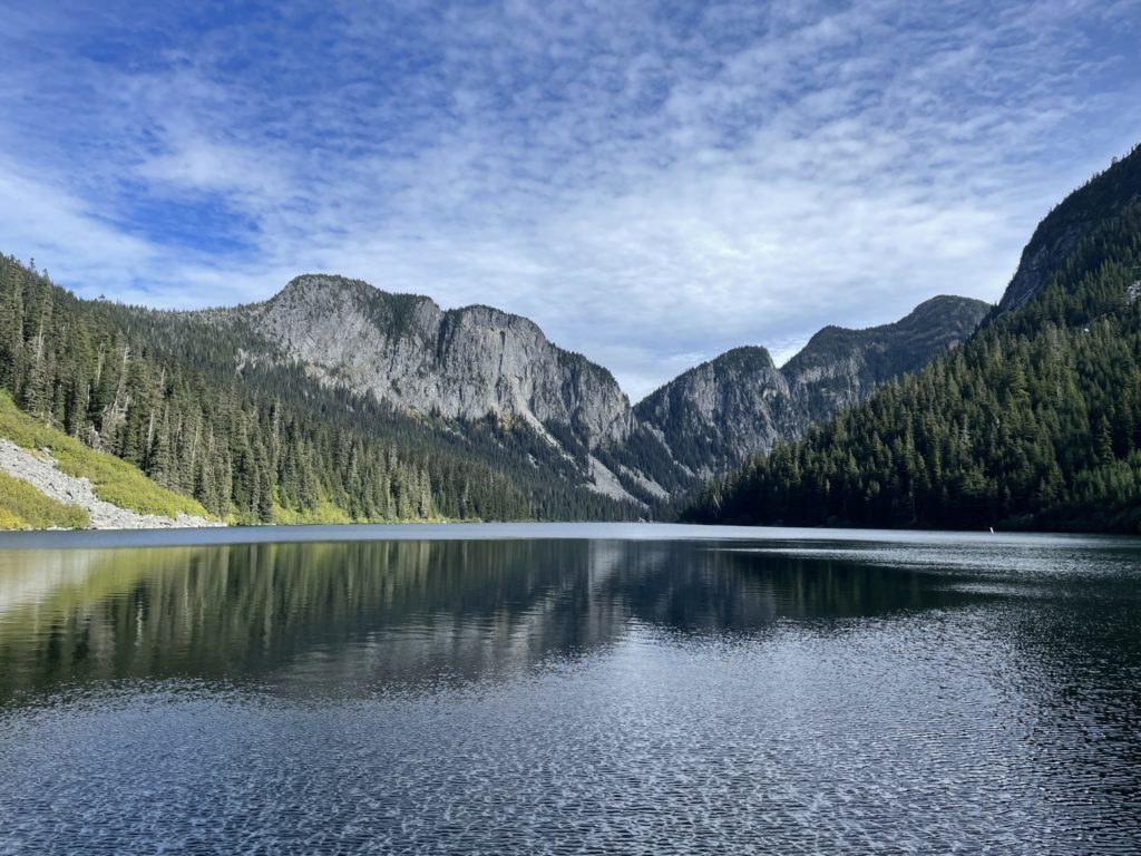
Not surprisingly, for this time of year, the summit was cold and windy with a layer of snow on the northern side. We quickly donned some heavier jackets and opted to make this a quick stop to avoid the cold and the looming sunset on the way down. Despite the conditions, the views were stellar with a fairly close up view of Silvertip, Rideout, Outram and more. We took some photos, ate a very quick snack and then headed down almost as soon as we came up.
Descending the gully was easy enough and we managed to get down pretty fast. Coming back down through the forest was also easier as the trail was more obvious when looking above. From the forest it was a fairly uneventful plod back to the lake. Once at the lake, we went further west and found a better log crossing to avoid the slick log pile up at the terminus. Then it’s back onto the easy forest trail. Again, all was uneventful, save for two good falls from slippery roots by myself.
We made it back to the car around 6:15pm with 30 minutes to sunset. All said, it was about 6.5 hours round trip with 1777m of elevation gain and around 13km of travel. The route was great for a more relaxing day as there’s no real objective hazards to the summit and the views are awesome. I’d say go visit if you’re looking for a good elevation training with high view reward.