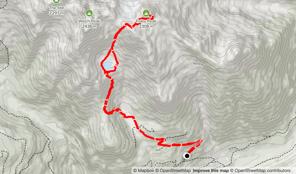
Elevation Gain: 1,729m
Distance: 13.55km
Total Time: 8 hours 20 minutes
Date: July 9th, 2022
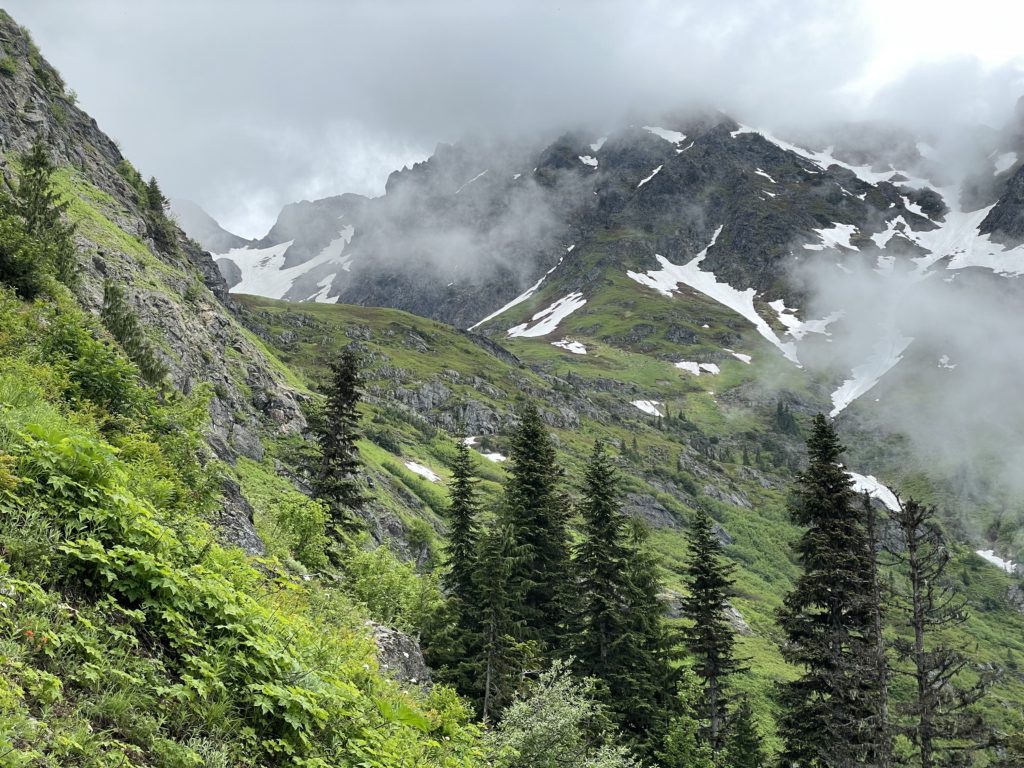
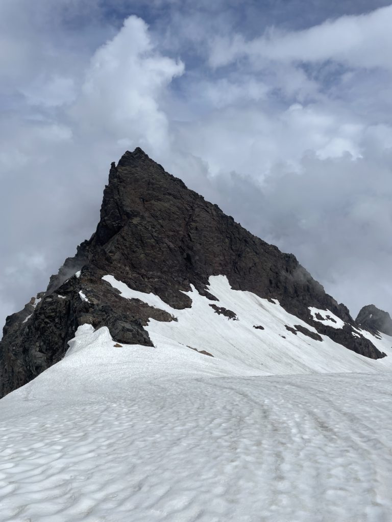
Foley Peak is the 2nd highest summit in the Cheam Range at 2308m and stands at the southern end of the range just beyond Welch Peak. It makes up part of the “Lucky Four” group named so because of a mine that used to be located near Foley Peak and also includes The Still, Stewart and Welch Peak. From most angles, it forms an imposing, steep pinnacle of loose volcanic rock jutting straight out of the Foley glacier. Despite that, the narrow south ridge offers an exposed, but manageable class 3 route up to the summit and sees many ascents each year. To access it, one can drive up the Foley Creek FSR to reach the trail head at ~1100m. However, this is a crux in its own right as the FSR has degraded heavily over the years and poses significant access challenges. Determined parties can easily hike up from Foley Lake, skipping the daunting drive up.
Foley also happens to be one of the two remaining summits in the Cheam Range that I still needed to ascend. I was originally planning to save Foley for a day when I could combine Welch Peak as well, but a week prior Oleg K from SWBC Peak Baggers posted a report on Foley and all of the sudden I found myself planning for a summit. I had a few other ideas as well, but the weather was marginal and Foley looked to be a short day at 8km and 1200m elevation gain. A few days before the weekend, Kevin Ye reached out about doing a trip and he was down to send Foley Peak as well.
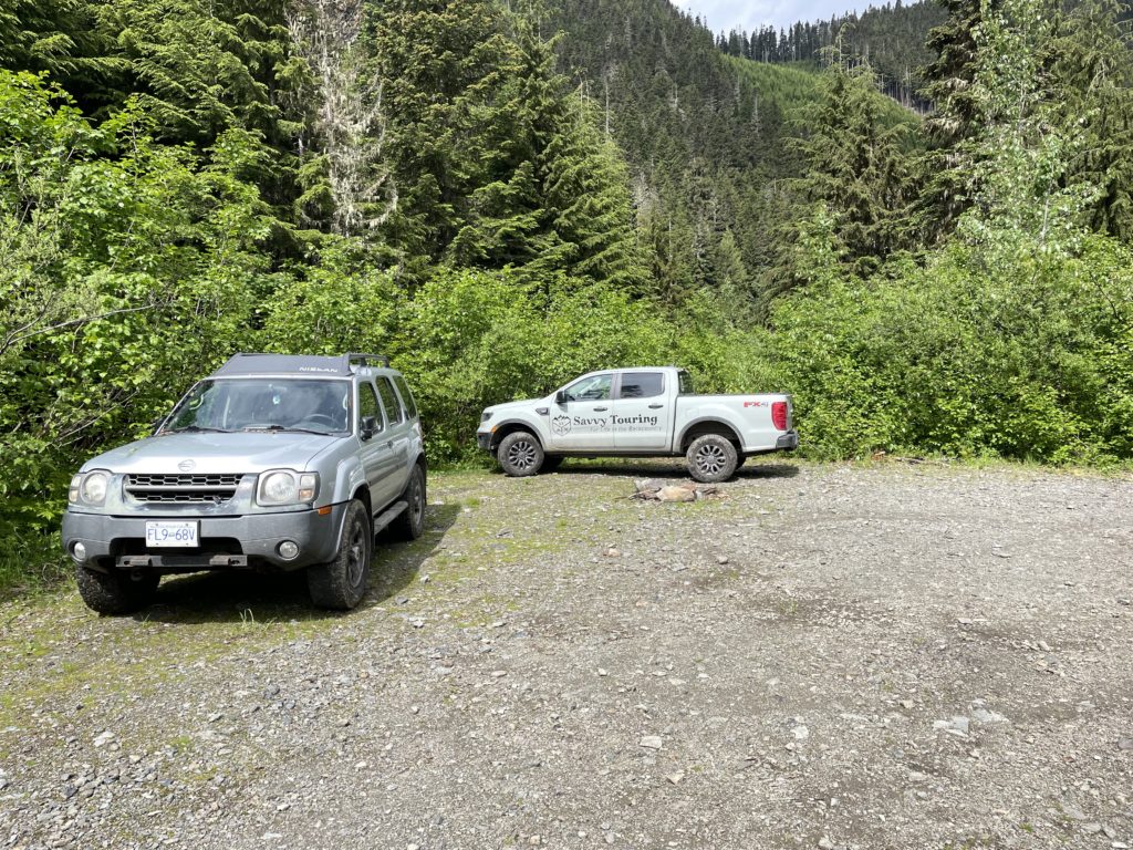
After a few weekends in a row of midnight/pre-midnight starts for summits, I decided on a more casual start for this adventure and suggested we get going around 6:30am. Kevin was fine with that, so on the Saturday I left Vancouver at 6:30 and pulled up to our meeting point around 7:30am. From there I drove us out towards Chilliwack Valley and before long I was making the now familiar turn onto the Foley Creek FSR. I drove past and over numerous small ponds that now comprised the road and soon passed the turn off for Airplane Creek, heading into new territory.
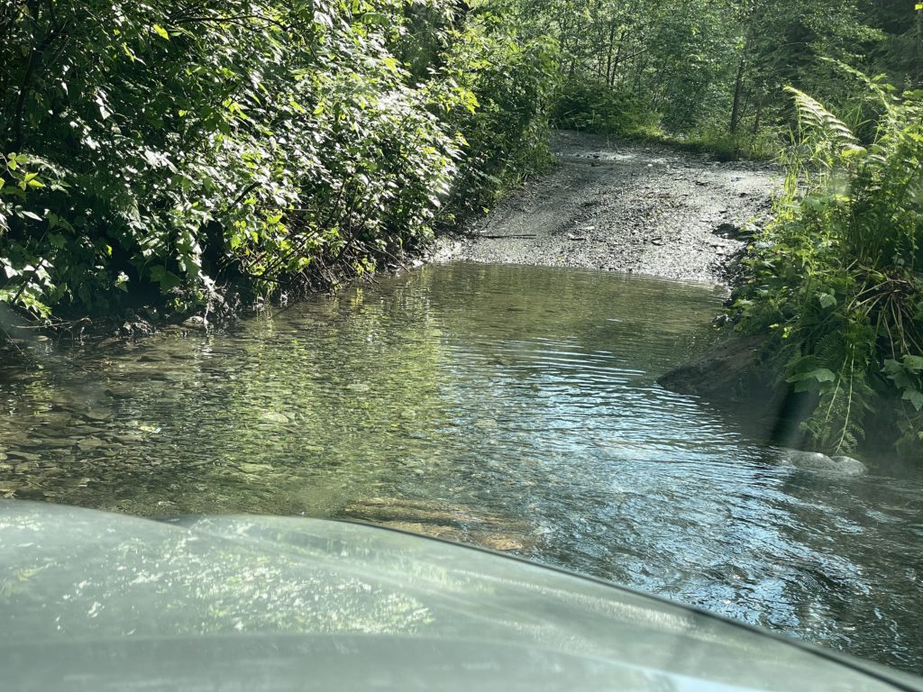
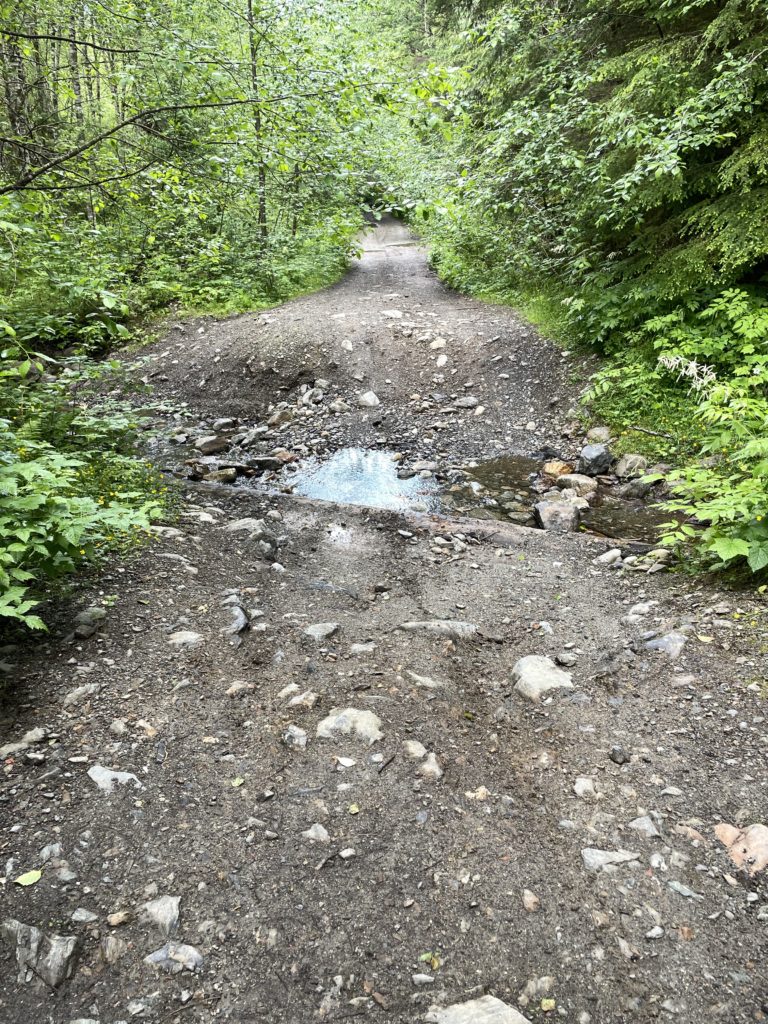
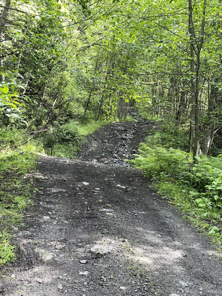
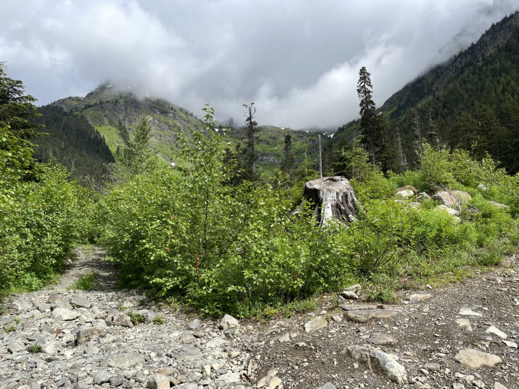
The road condition continued to worsen as we drove beyond Foley Lake and started up towards the trail head. Many of the cross ditches were exceptionally deep with minimal room to maneuver my truck into a better angle. We crawled our way up towards the 700m mark and then hit a monster sized water bar and ended getting hung up on a rock. Kevin and I worked at it for a few minutes eventually got unstuck and past the ditch. At around 800m we hit another massive water bar, seemingly worse than the last and that’s when I decided to just park and walk the remainder. As it was, we were spending 5-10 minutes at each of these huge water bars just trying to negotiate a good way through, so might as well spend that time getting to the trail head on foot. I have no doubt a more competent driver in the same vehicle could get farther, but I was content to at least have eliminated 800m of elevation.
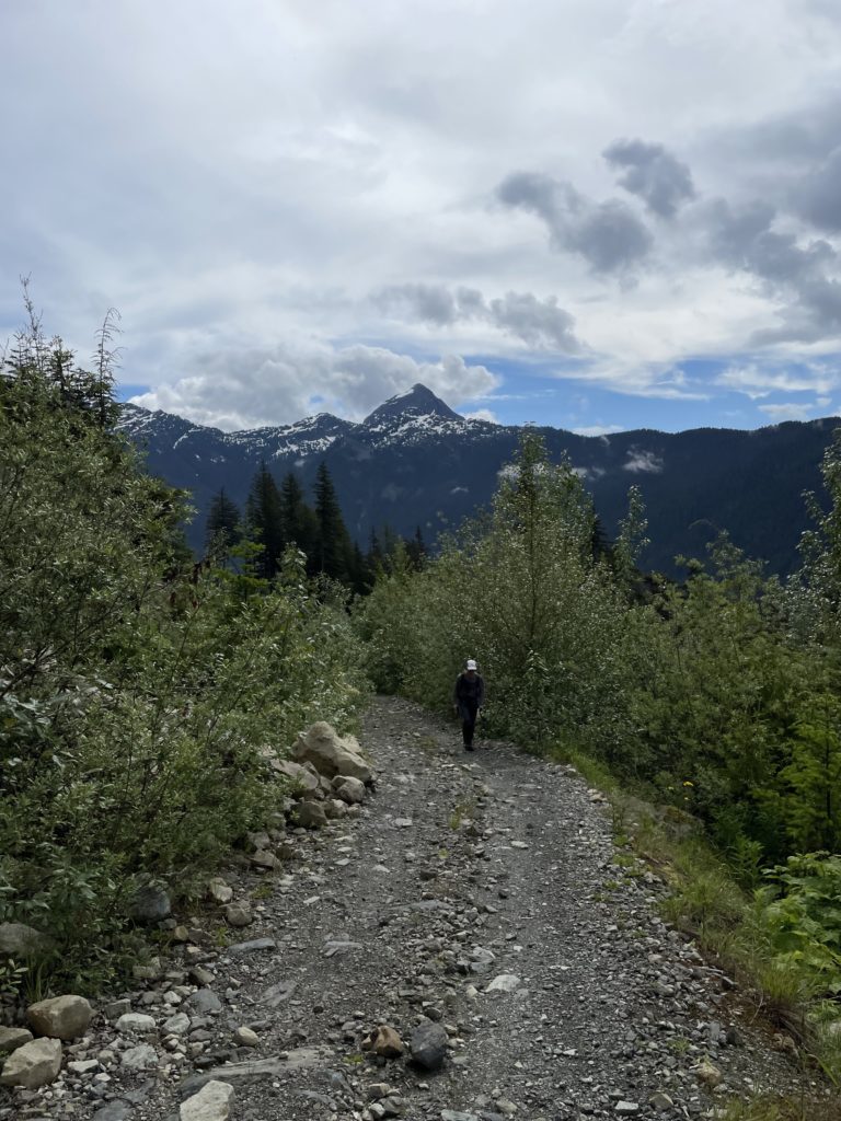
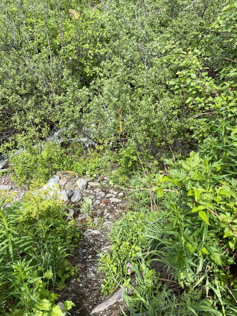
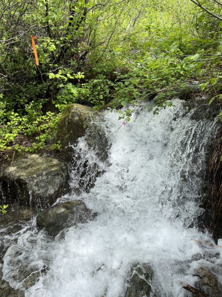
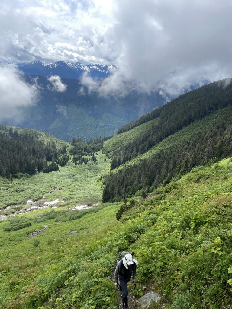
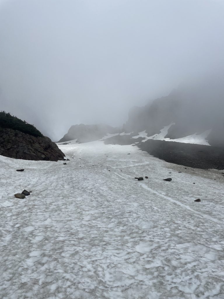
Our stopping point only added an extra 2km + 300m elevation gain to the trail head and it’s on a shaded FSR so not the end of the world by any means. It took us about 30 minutes to get to the starting point and then we made our way down the trail on old FSR remnants that ran deeper into the basin below Williamson Lake. From there the road tapered into a small foot bed that ran adjacent to a creek and then cut across and ran into the unlogged forest above. We gained around 300m of elevation in the open forest and then followed the trail across the alpine fields below Williamson Lake and finally up to the lake itself.
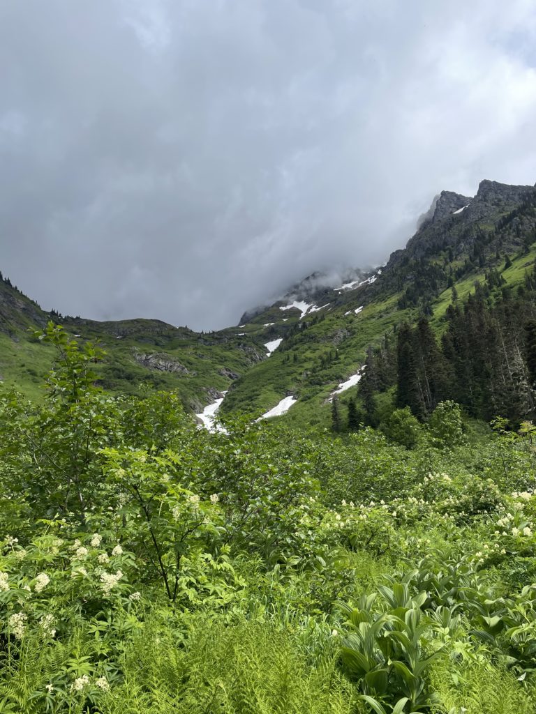
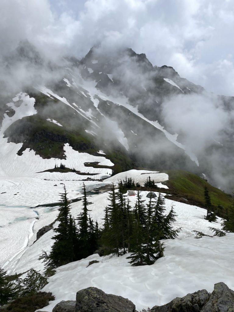
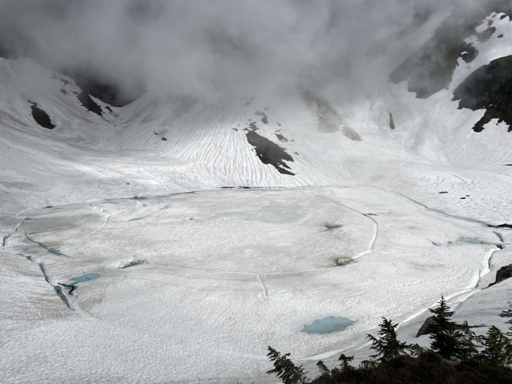
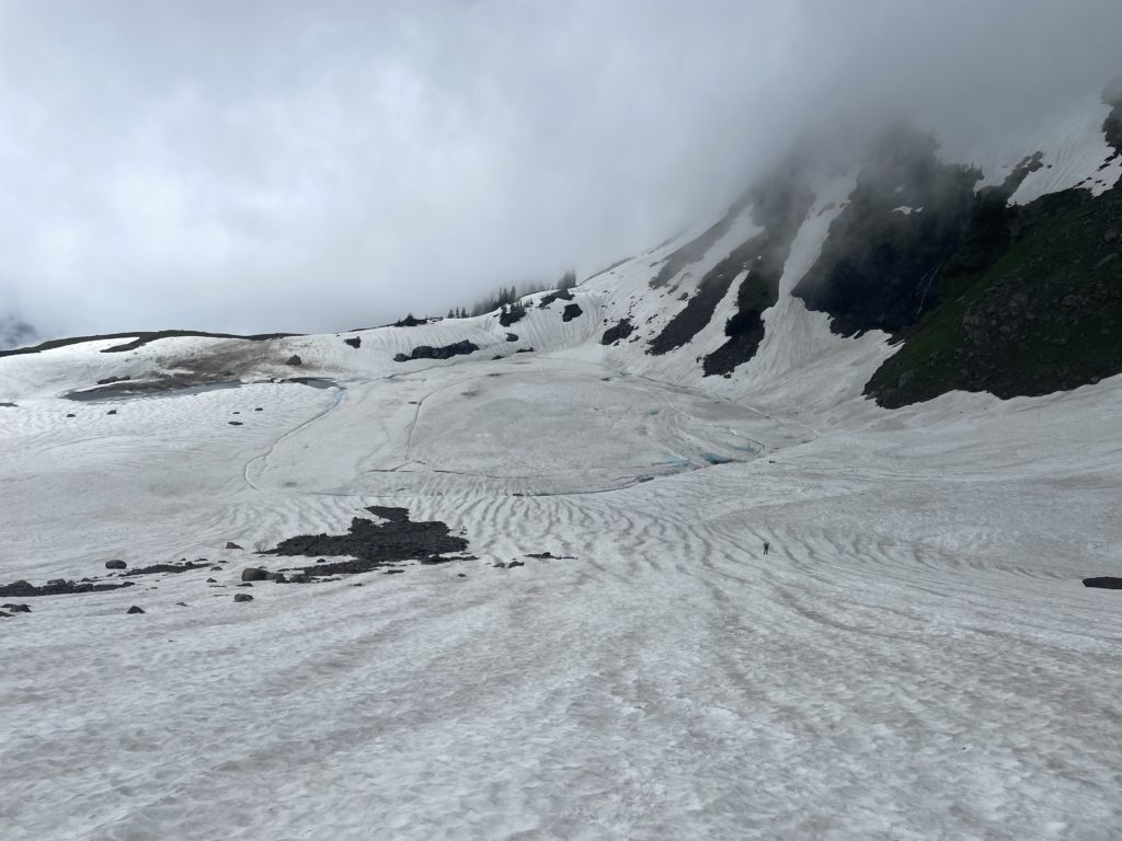
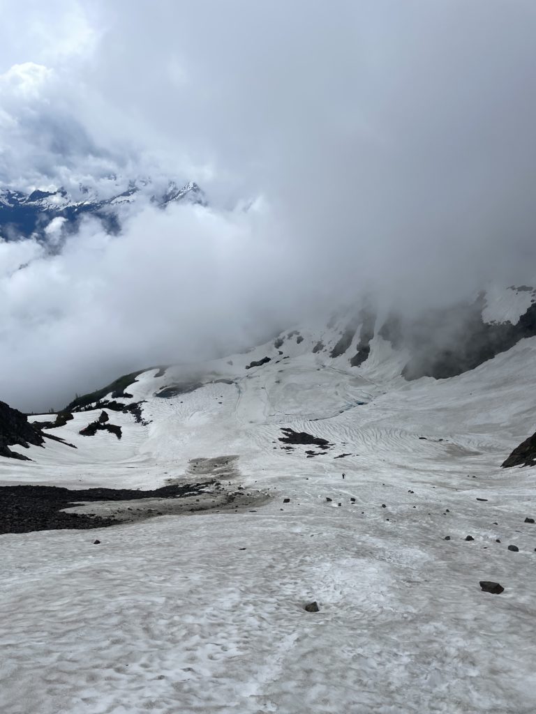
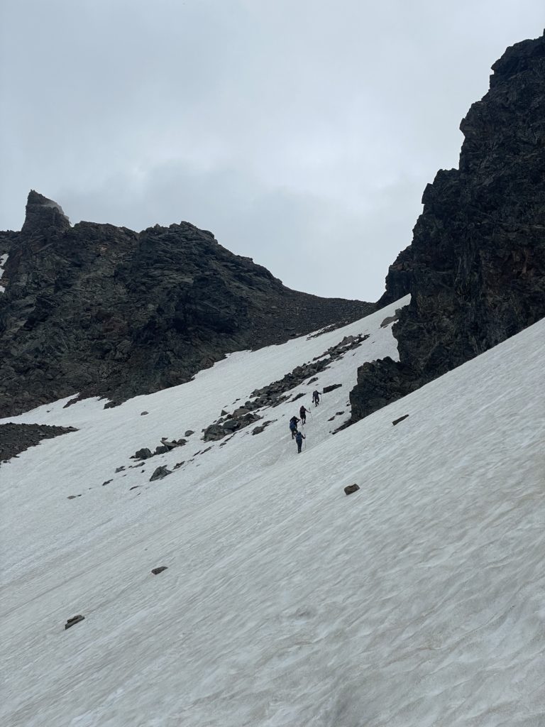
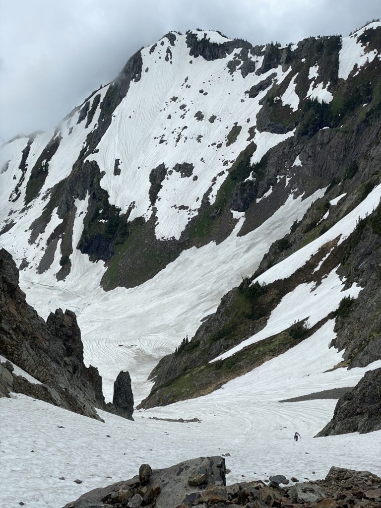
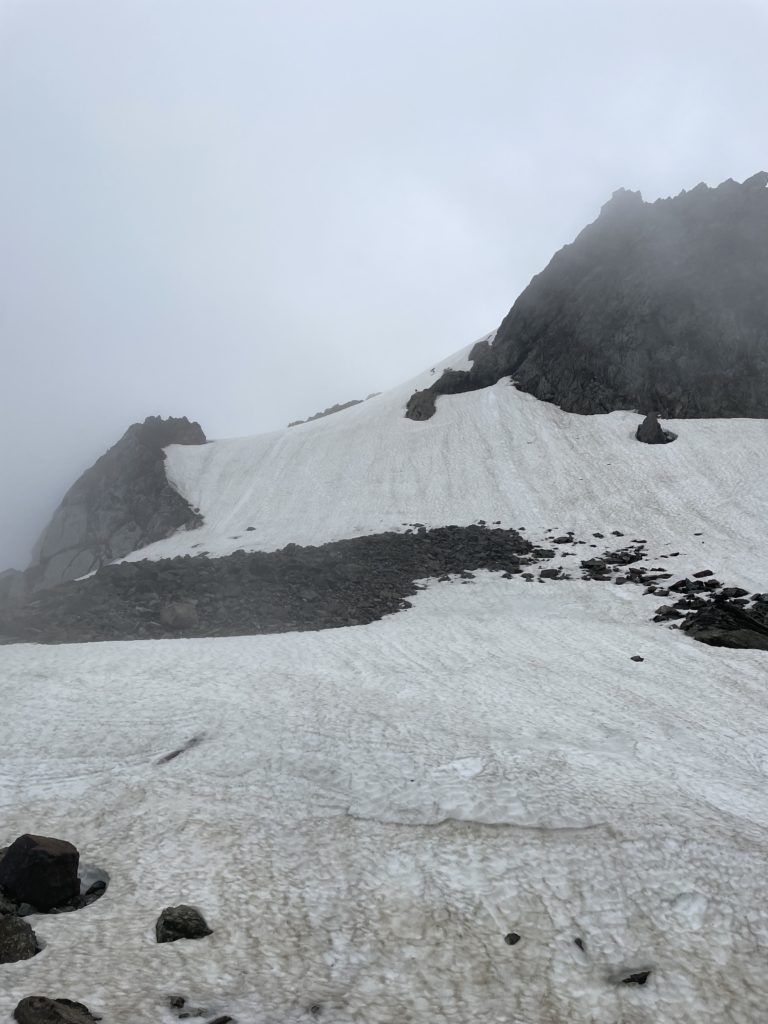
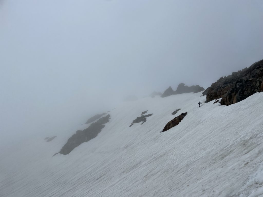
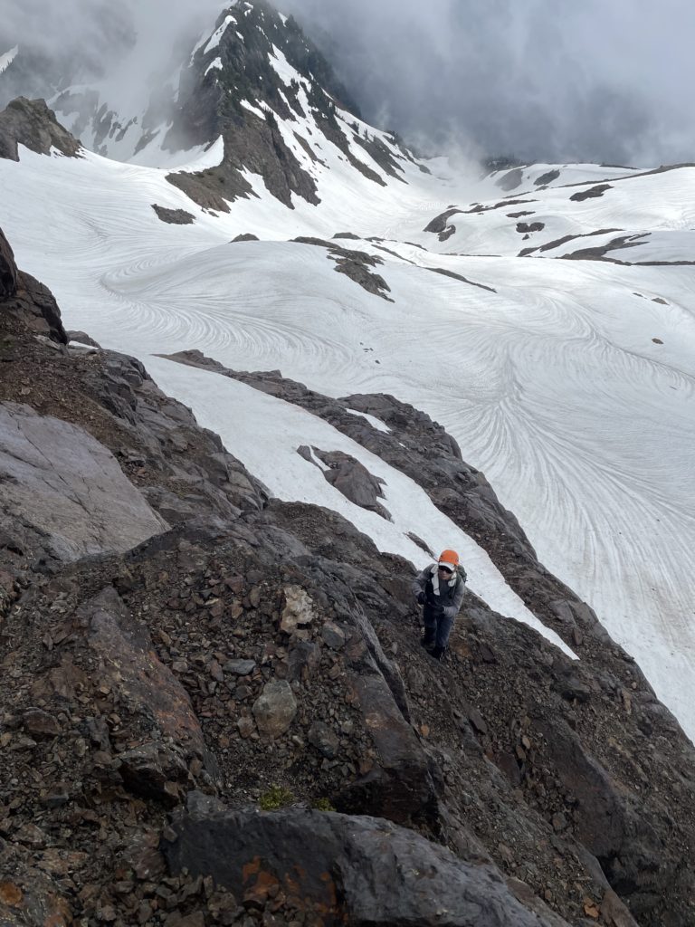
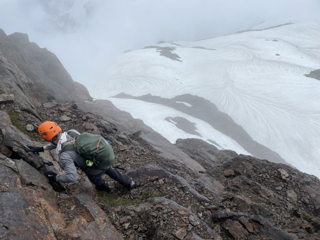
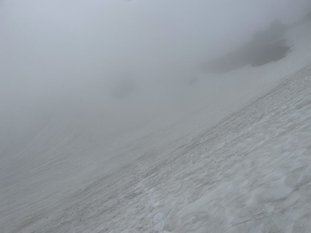
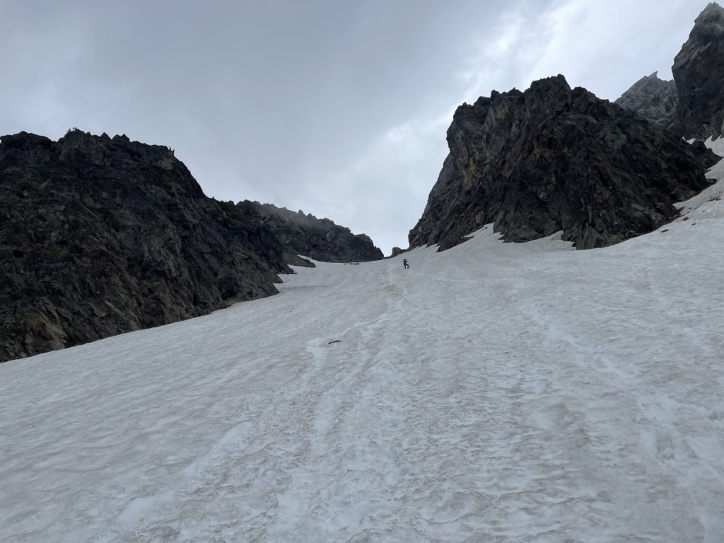
At the lake, I had a great view of the route which offered two ascent options. At climber’s right were long stretches of dry scree that one could gain the ridge from with perhaps one or two sections of traversing on snow. The other option, was an uninterrupted couloir running almost 500m straight to the ridge immediately to the left of the scree patches. There’s no doubt in my mind, we’d take the snow as the scree ascents in this area are often a tedious ordeal. Once the route was scoped out, we sat down for some snacks and swapped into cramp ons. The lake itself was still frozen, save for some deep blue melt spots at the perimeter. Numerous tents dotted the shoreline and I soon spotted its owners high above on the scree patches, making their way towards the ridge.
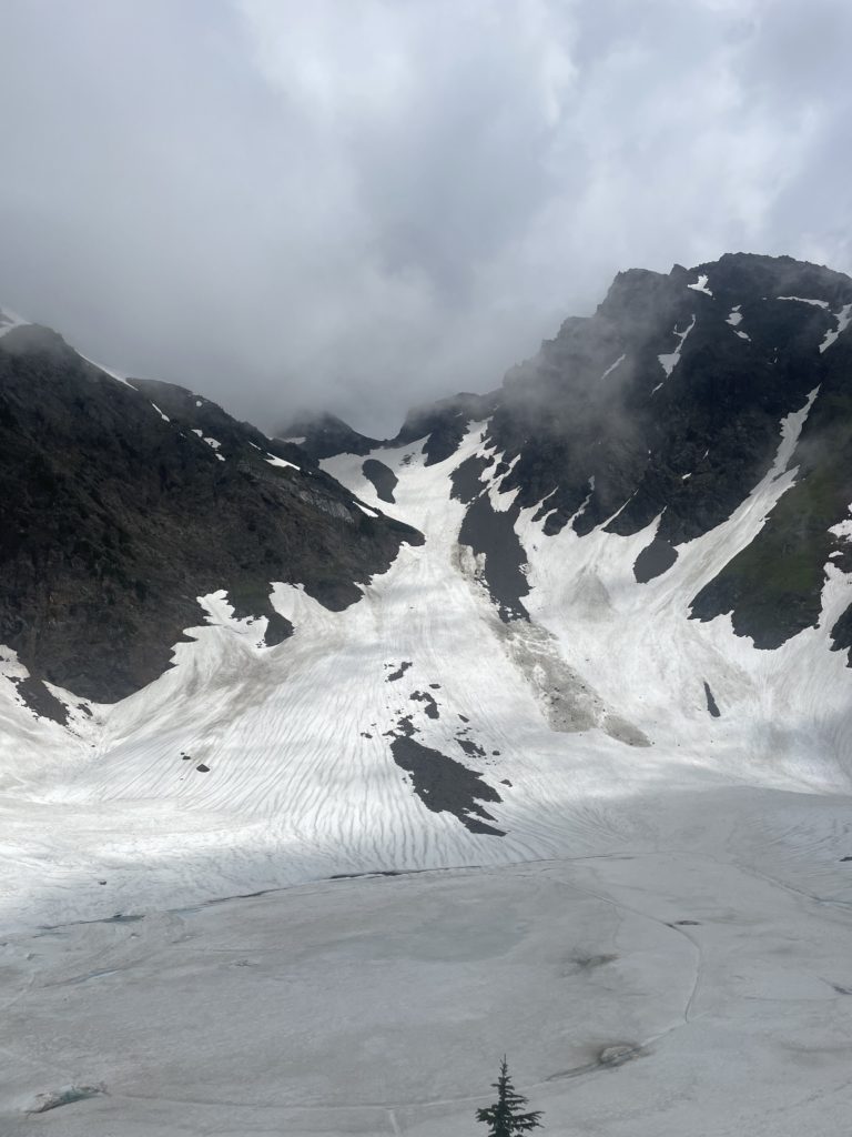
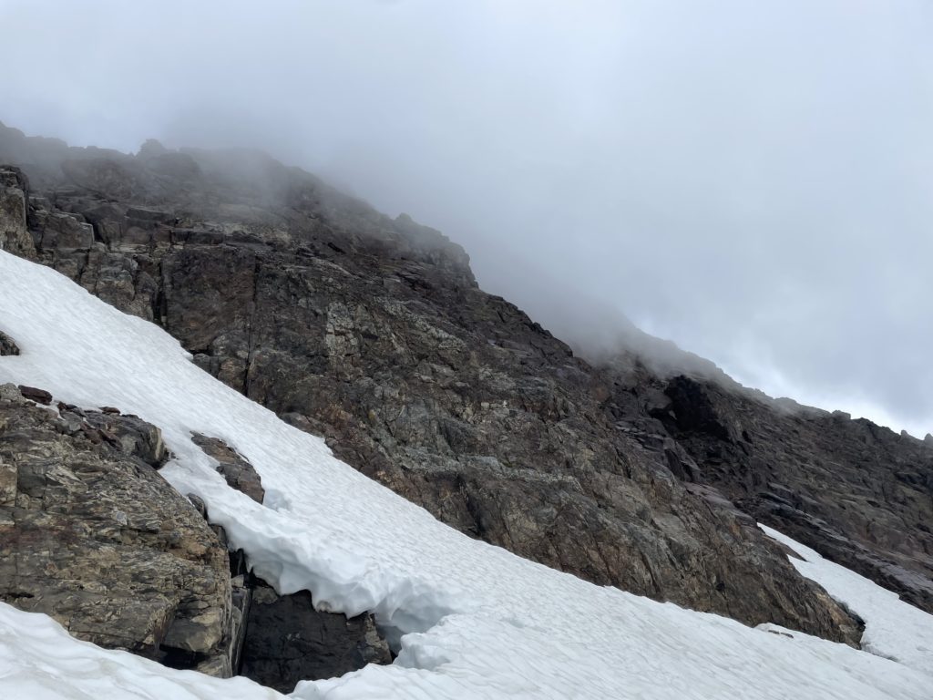
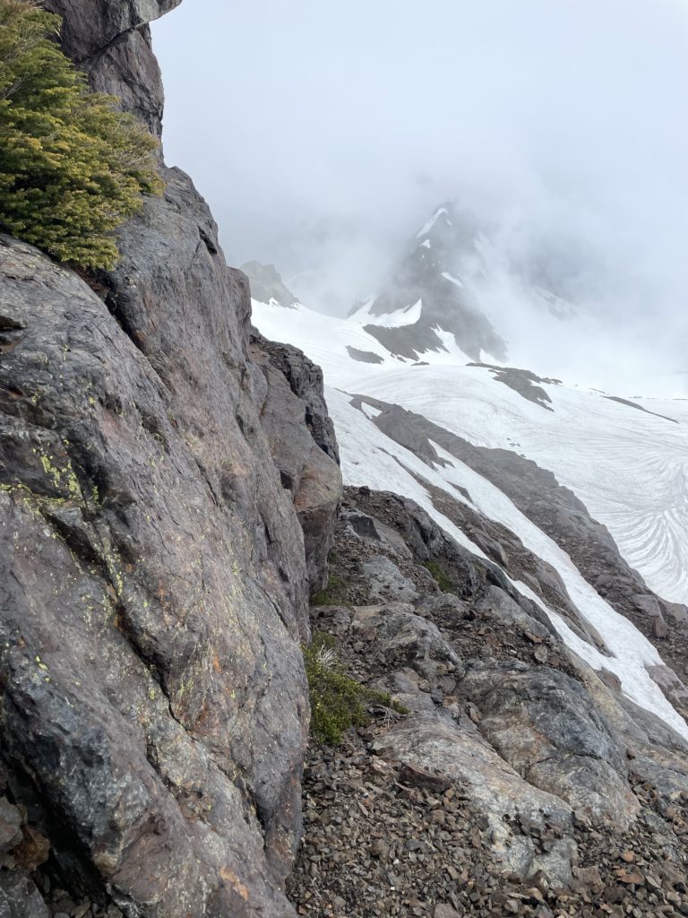
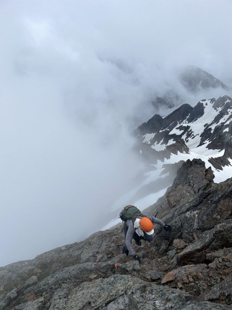
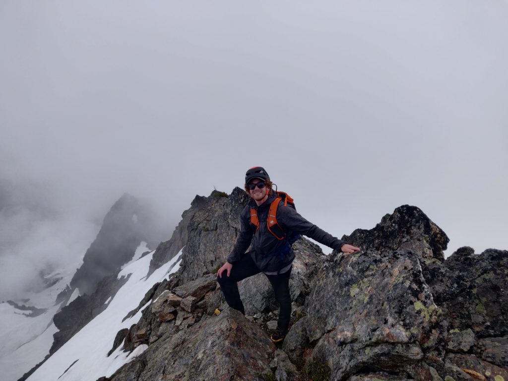
Once Kevin and I were recharged we started around the lake and ascended straight up the couloir eventually reaching the group just as they were traversing north from the last scree patch. We continued up the couloir at climber’s right which lead directly to the ridge. There was only a bit of scree to contend with in the last 30m. From the ridge we ascended up a small bump and then we were onto the final ridge to the summit base. I lead a long contour around the base of Foley until we were at the southern end. Here I had to consult the GPS to see where Foley’s ridge was accessed. In the mean time we ditched our cramp ons and axes and then started up one small snow patch before reaching the dry rock face that lead to the ridge.
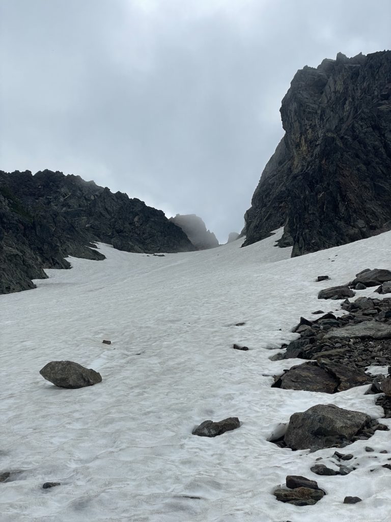
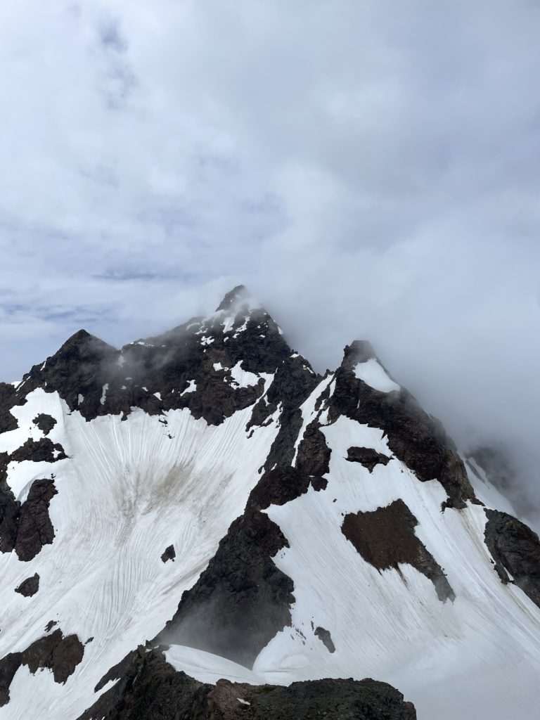
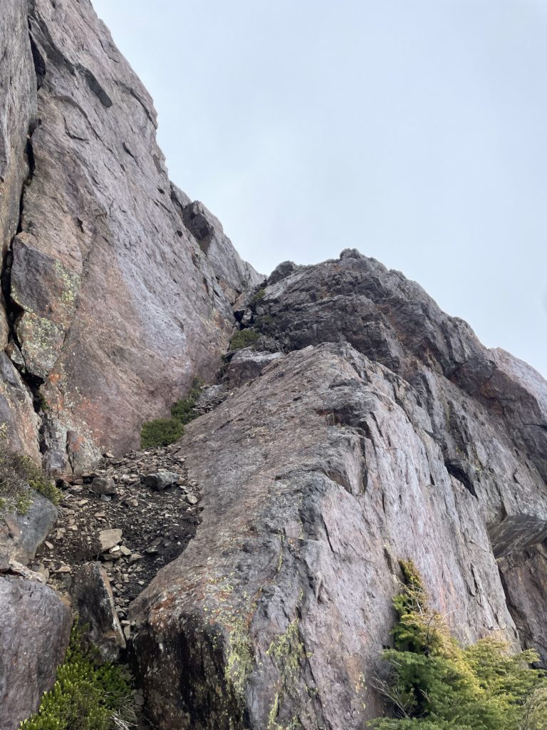
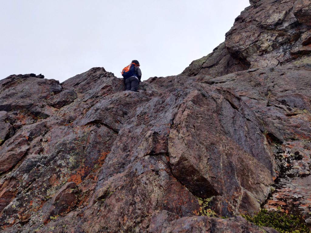
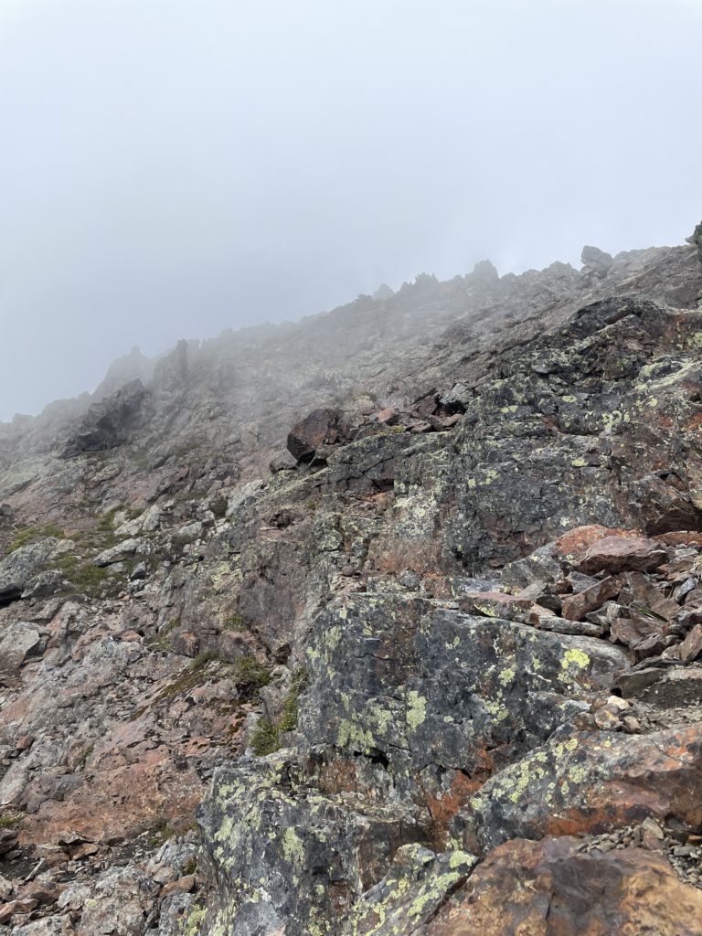
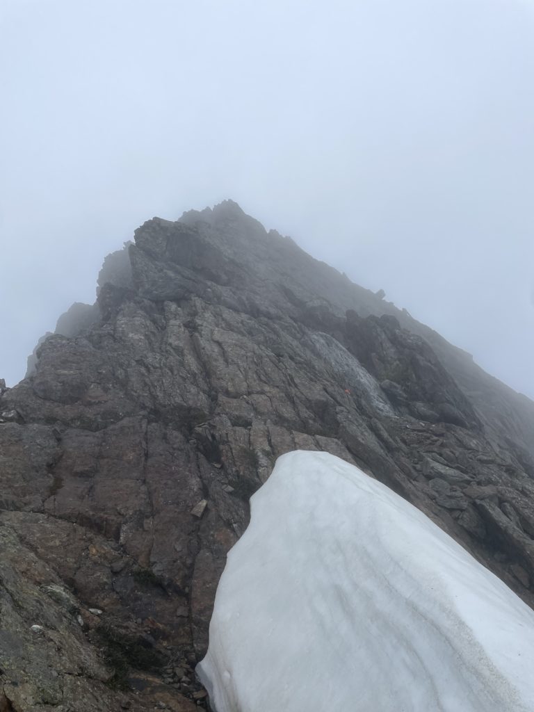
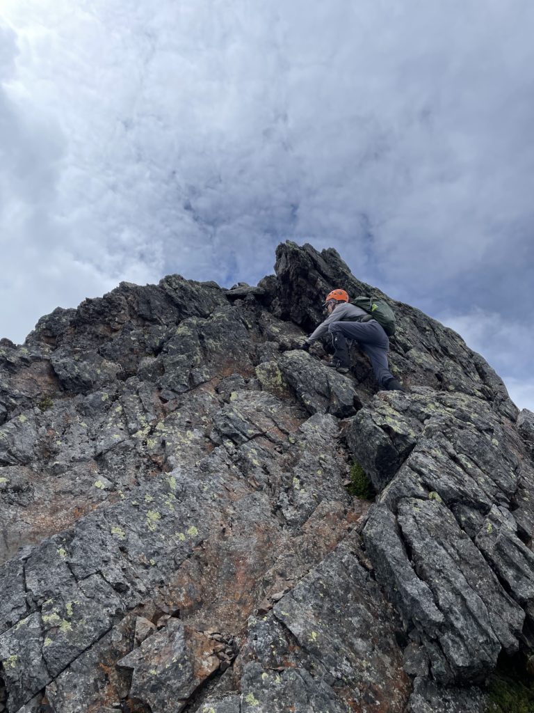
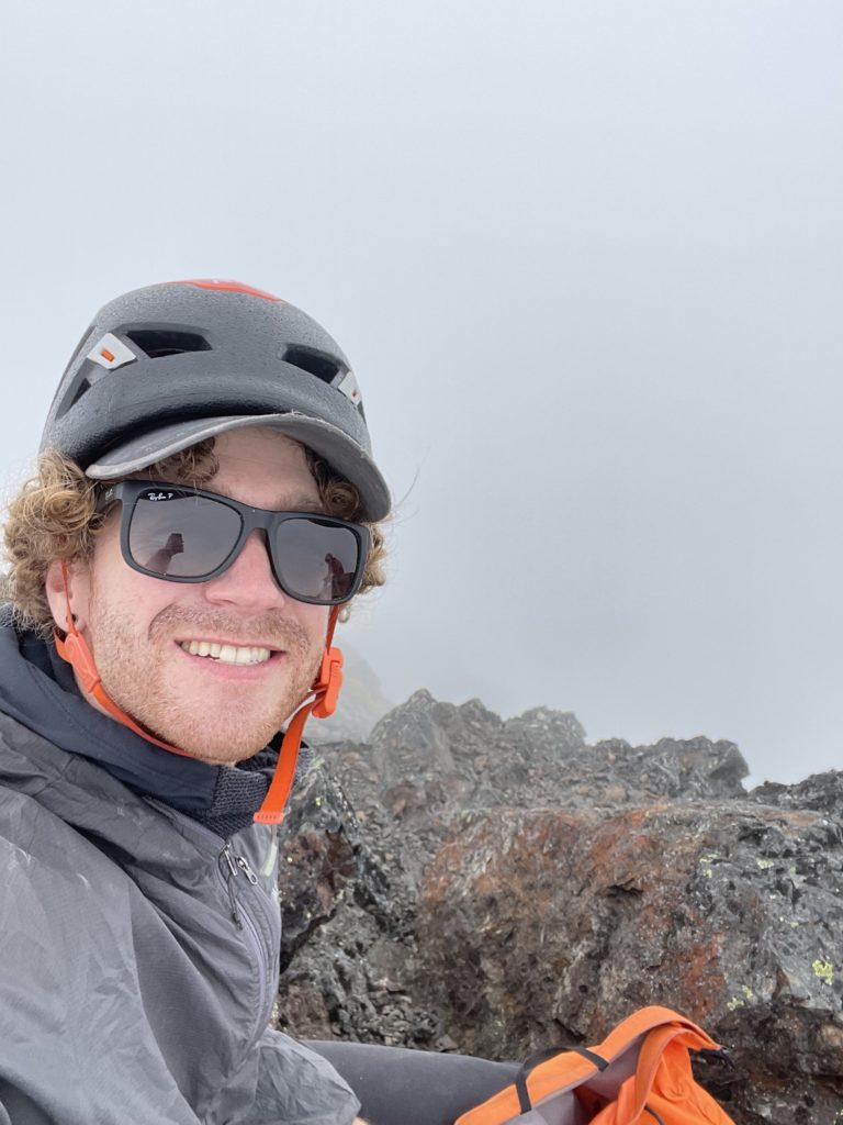
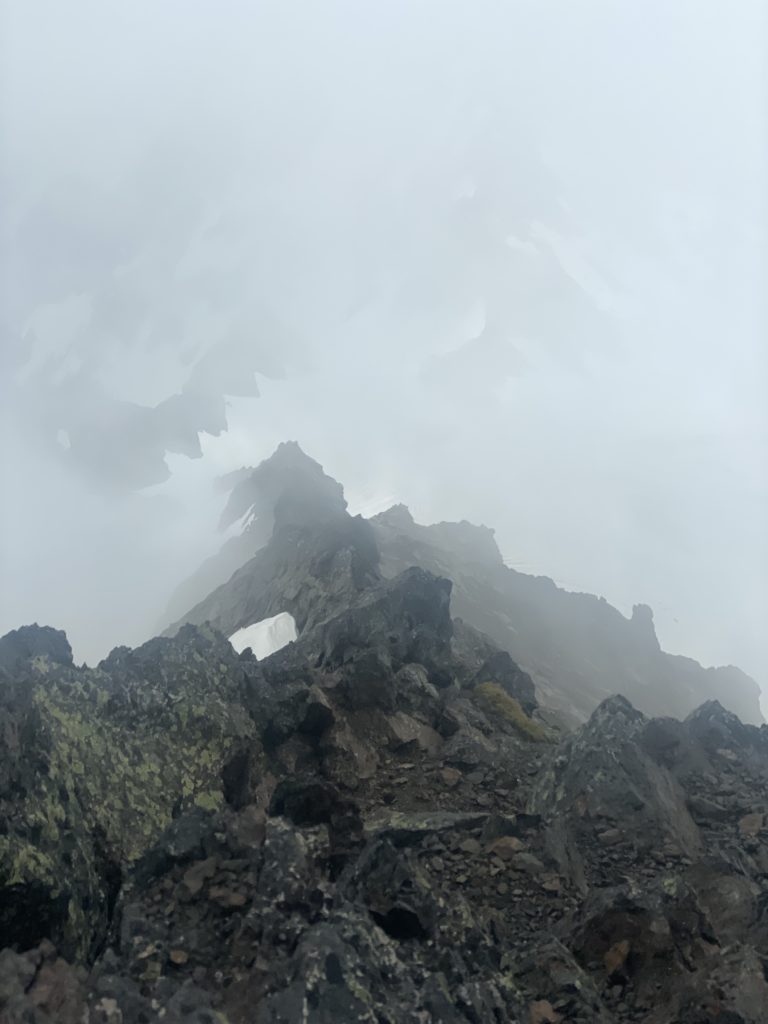
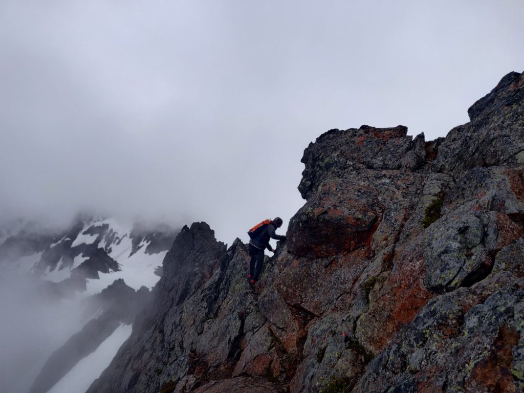
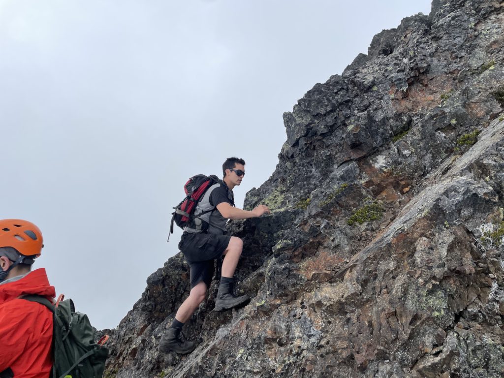
It wasn’t 100% clear which way the previous ascents had gone, but after a bit of scrambling we spotted a small ramp that lead us up above vertical terrain and onto a series of slabs. We scrambled up the slabs, which were often times covered in scree and then reached a few meters below the ridge. Kevin spotted some cairns here and so we followed them, traversing along the west side of the ridge for a ways. The rock was incredibly loose here and we inadvertently sent debris down west face on many occasions. About 2/3rds of the way up the summit the route kicked us over a cool knife edge feature and onto the east side of the ridge. The scrambling continued on better rock until 15m below the summit when it steepened into 4th class territory. I started climbing part way up on good foot holds, but when Kevin found a way around the west side I traversed across and rejoined him. The final bit up to the summit was on loose scree ledges and cracked hand holds, but it was manageable.
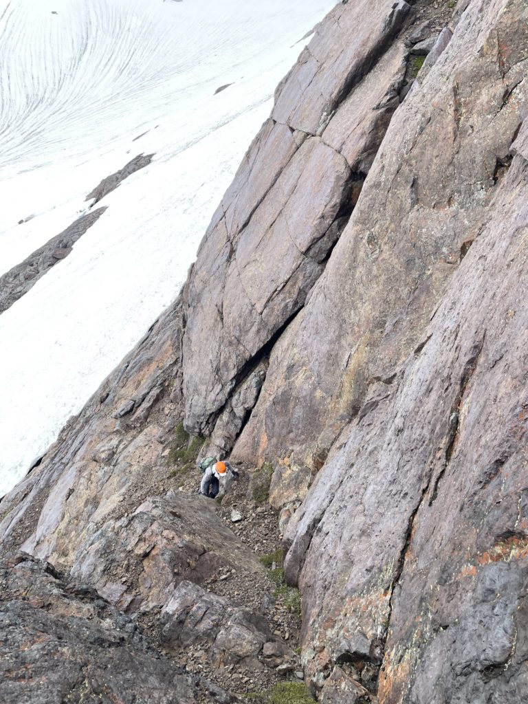
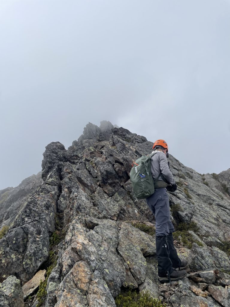
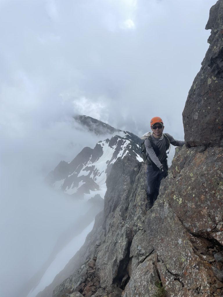
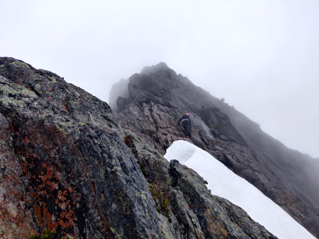
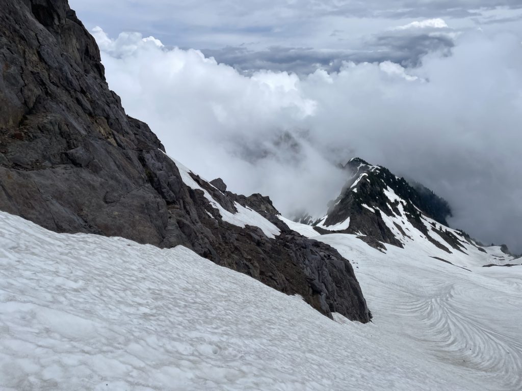
Unfortunately, we were totally socked in on the summit, but we decided to wait around for that previous group to catch up as we didn’t want to rain debris down on them. Perhaps 20 minutes later we still hadn’t seen them, so we decided to down climb the majority of the ridge until the west face descent and wait there for them to come up. I lead the descent down initially and had to scramble down carefully as trustworthy hand holds were few and far between. At one point, I lead us a bit far down and noticed the next moves were getting into 5th class, so we reclimbed a few meters and hopped on to the east side of the ridge again. There we spotted the cairns and followed them back to the knife edge section. It was a bit awkward to reverse, but the rock was much better here and after a few moves Kevin and I were now on the west side about to start the descent from the ridge to the base.
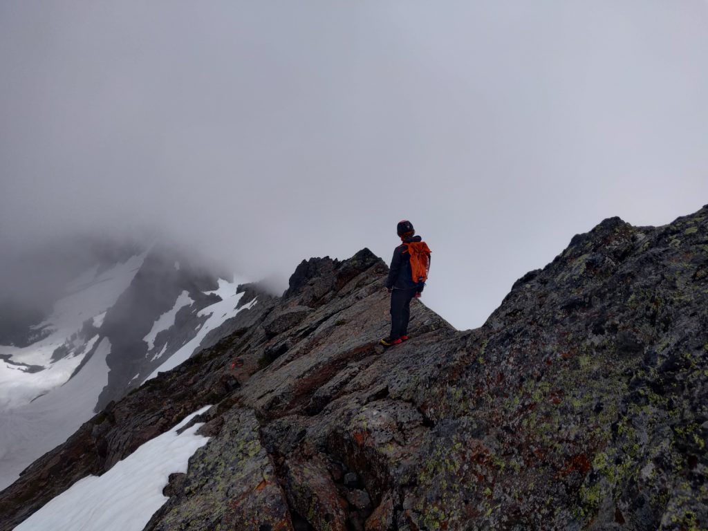
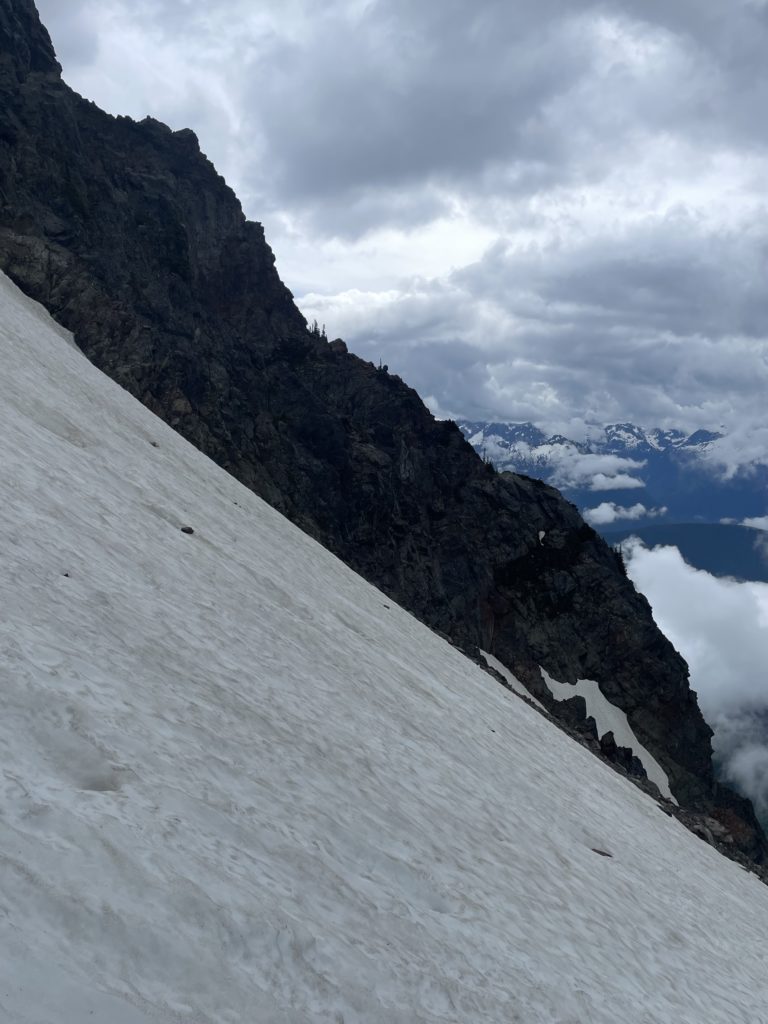
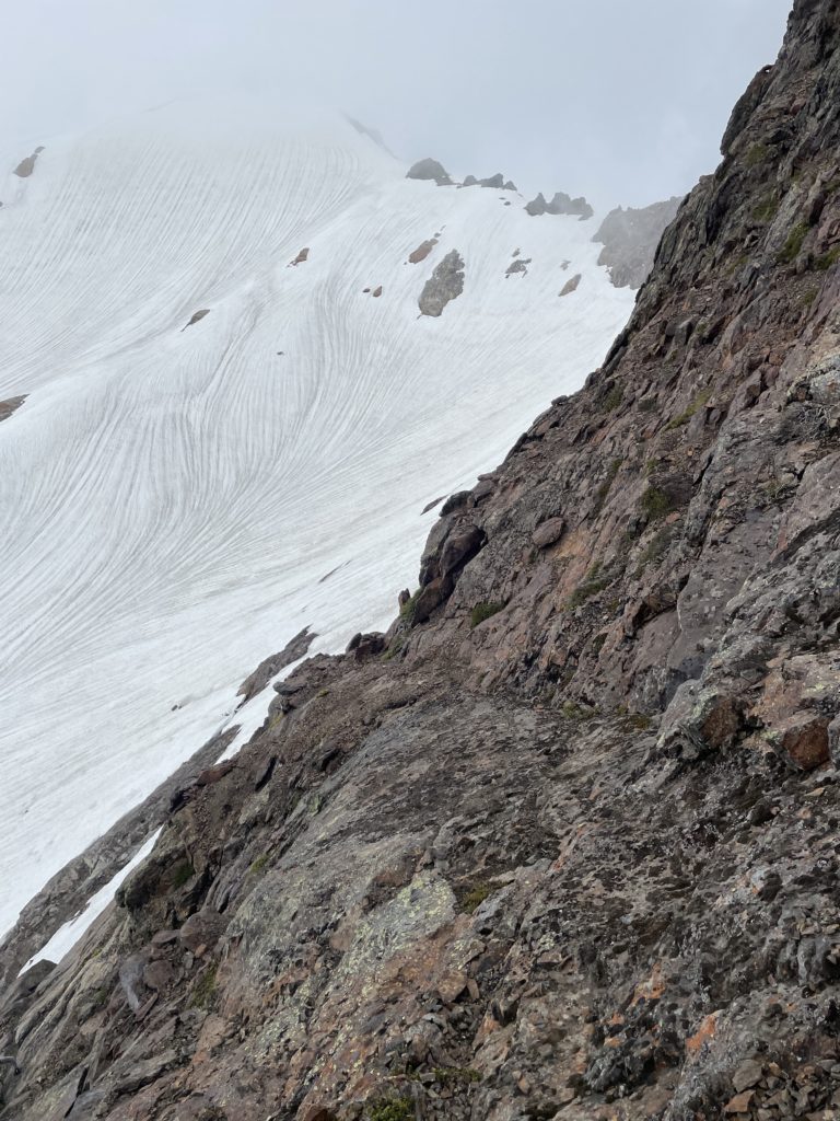
Thankfully, the group showed up right at this point and that gave us peace of mind to continue the descent over the loosest part of the route. We retraced our steps, using the cairns as guides until around the 2130m mark. Here I took us too far south as we were having a hard time spotting our initial ascent route from the base. I found more 5th class terrain and reversed our course once again. This time I was able to spot our path and then Kevin lead us down the slab sections until we reached the small snow patch above our gear stash.
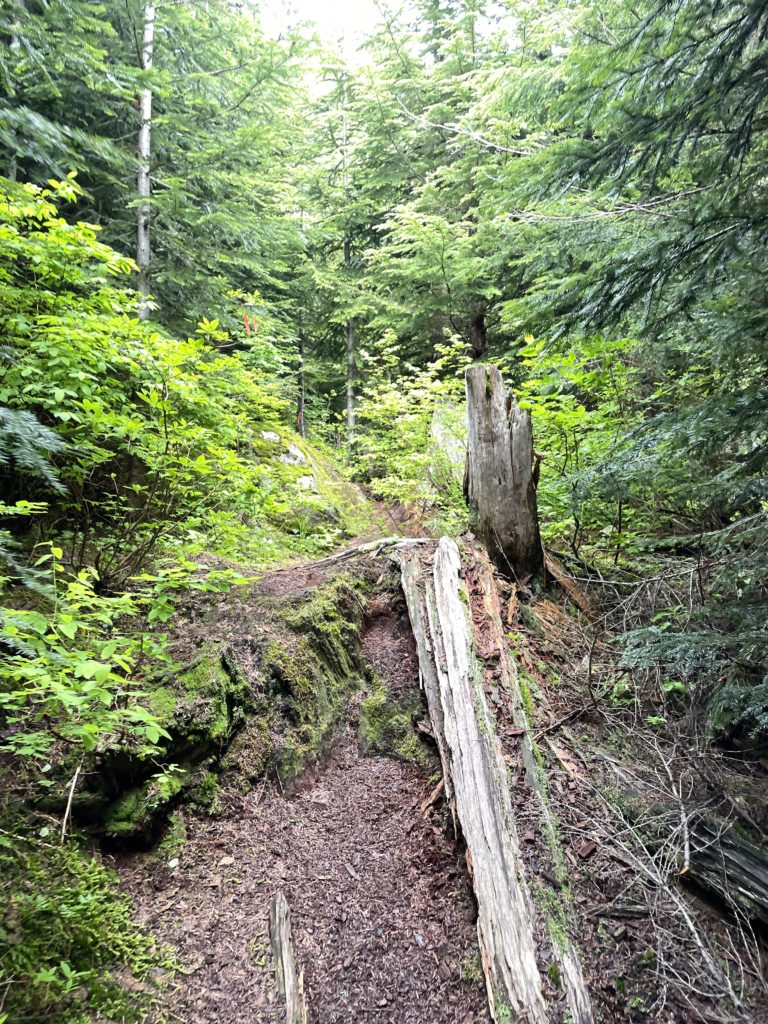
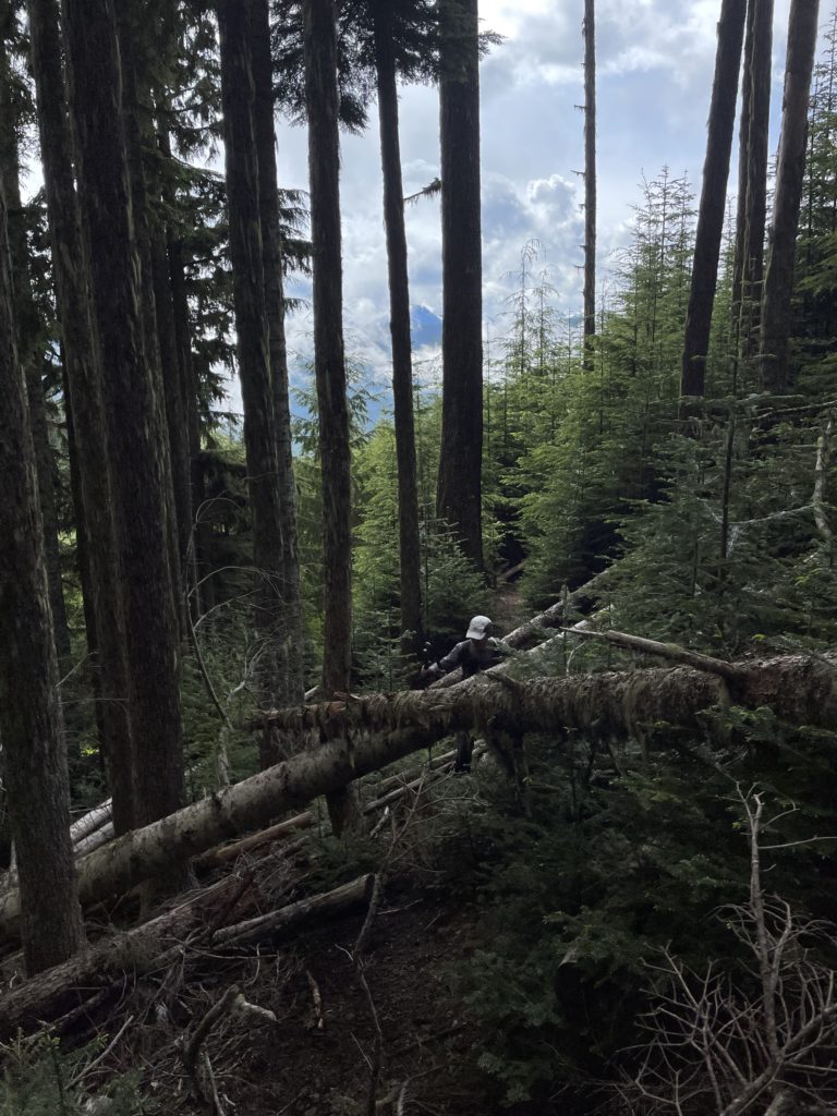
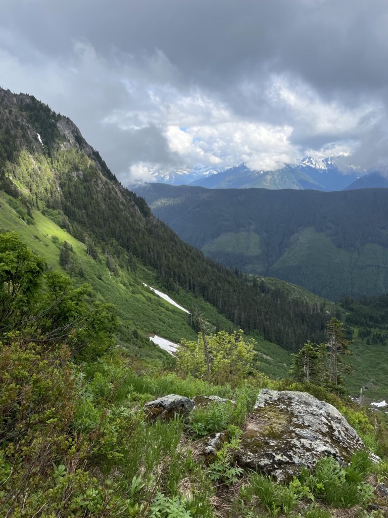
We grabbed our crampons and axes and headed back towards the snow field, putting them once we were stepping distance to the snow. Here I lead us farther around Foley’s west face to avoid the rock fall zone and linked up with the ridge at the other end. We descended the short bump and then rejoined with our ascent couloir. The snow was in perfect condition for boot skiing, so I half ran/half “skiied” all the way down to the lake. I took us around the south end of Williamson this time and briefly chatted with someone at the camp. We grabbed some water and then started the descent back down to the trail head. The route back was mind-off from here, but I did stop a few times to take in the verdant green alpine fields. Just before 6pm we reached the truck and then reversed our course down that brutal service road.
Outings into the Cheam Range are some of my favourites. Generally, they’re short days (at least on paper), but involve pretty full on service road accesses, steep approaches and engaging, but loose scrambling up sharp peaks with rewarding summit views. Foley Peak definitely meets all those expectations and I have to say grabbing this one while the couloir is still in, makes a huge difference. Foley Creek FSR only has so much life left in it and we may soon be back to the pre-2000 era of hiking up from Foley Lake.