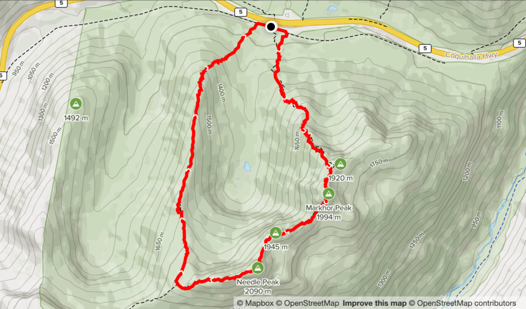
Elevation Gain: 1,076m
Distance: 9.30km
Total Time: 7 hours 23 minutes
Date: July 16th, 2022
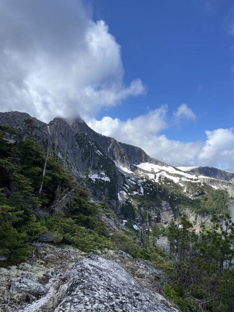
Markhor Peak is a 1994m peak situated on the south side of the Coquihalla Summit area. From the highway it’s a relatively easy 700m gain to the summit which boasts panoramic views of the entire Coquihalla area. Despite that, it’s often overshadowed by Needle Peak, a taller summit just a bit further south. Needle Peak offers a beginner friendly class 3 scramble route up an aesthetic west ridge and hence gets the majority of the traffic in the area. Markhor itself only offers short sections of scrambling through slabs, but when combined with a traverse to Needle Peak, makes for one of the best scrambles in the southern BC area. This traverse is popular among scramblers and climbers and is aptly named the Markhor-Needle traverse.
This Saturday, Andrea and I were looking for a fun route to try as weather had closed in on Squamish and our original plans for Copilot fell through. The weather was looking good further East, so Andrea suggested the Markhor-Needle traverse. I’d already done Needle Peak in 2018, but I had yet to do Markhor or the famous traverse so I was all in. There’s no snow or conditions timing to deal with at this time of year so we decided on a later start with a 7am departure from Vancouver.
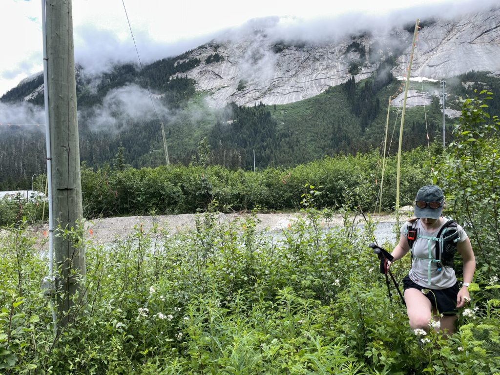
We pulled up to the trail head parking around 9:10am and started moving around 15 minutes later. This area had been under construction for pipeline work since at least 2018 and that had changed the trail head access quite a bit from previous years. Due to the popularity of Needle Peak, the pipeline crews had created a dedicated causeway through the construction site for accessing the Needle Peak trail, complete with large signage, flagging and all. Markhor, unfortunately, had no such set up and it seems most people would go part way up the Needle Peak trail and bushwhack a few hundred meters back onto the Markhor trail. The Markhor trail access was directly blocked by a large construction yard with big “No Access” signs, but I figured we could bushwhack a 30m or so beyond the yard where we’d just have to contend with a short pipeline road crossing to reach the trail.
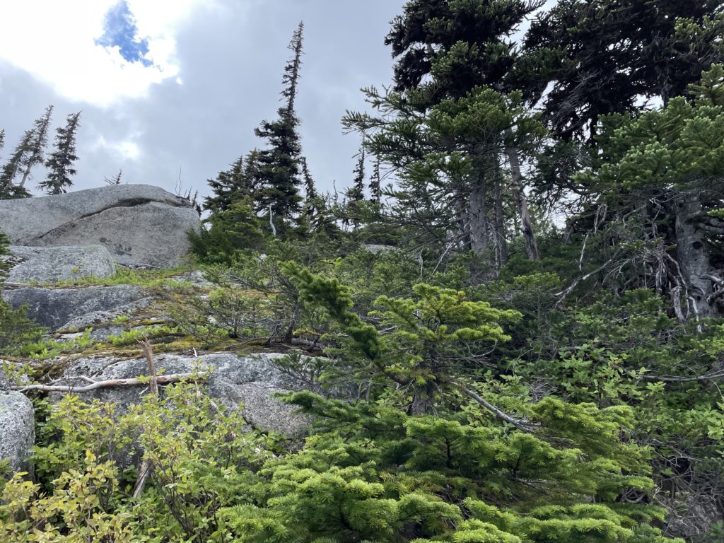
We walked a little ways West past the parking and then bushwhacked a short bit to the base of the pipeline road. There were heavy machines operating every 100m or so on the road, so I lead us through a gap and up towards the road. A site supervisor spotted us and walked over to ask if we were okay, but we just explained that we’re trying to reach Markhor Peak and he was happy to let us cross. Once on the other side, we had to bushwhack a bit further through soaked brush before reaching flagging for Markhor.
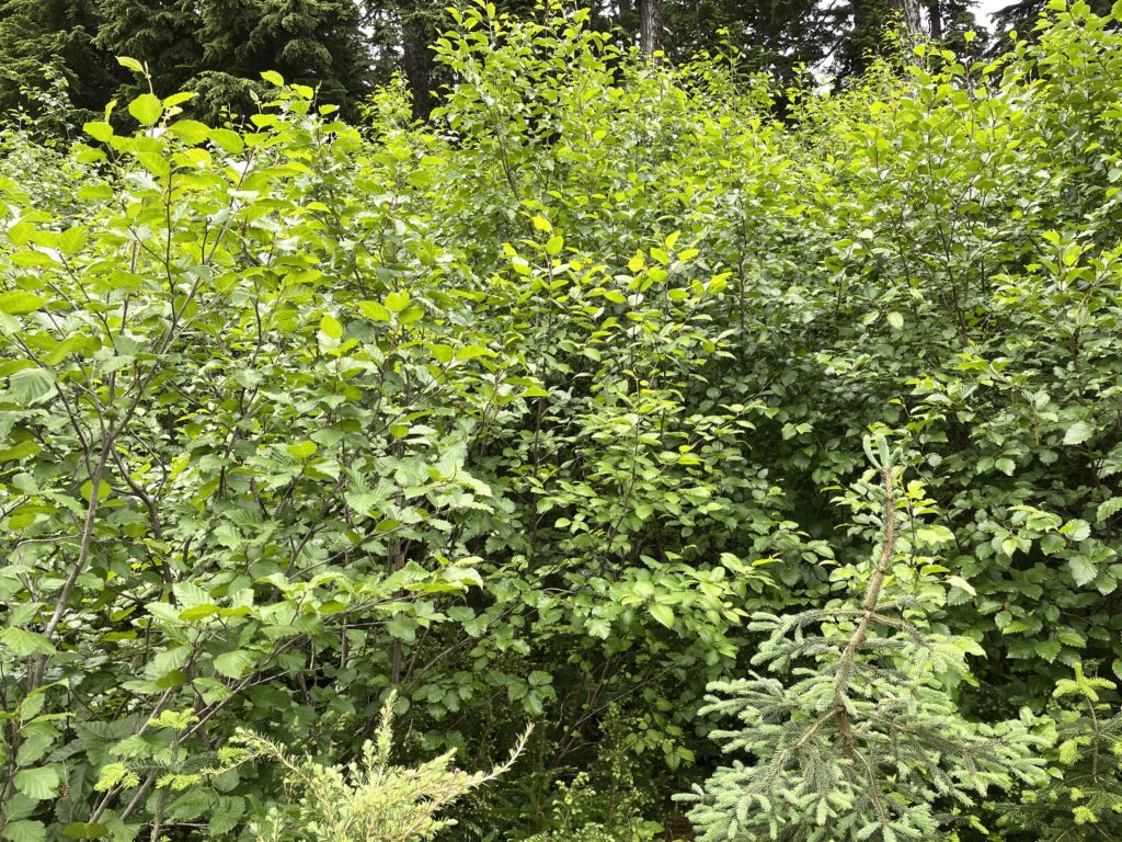
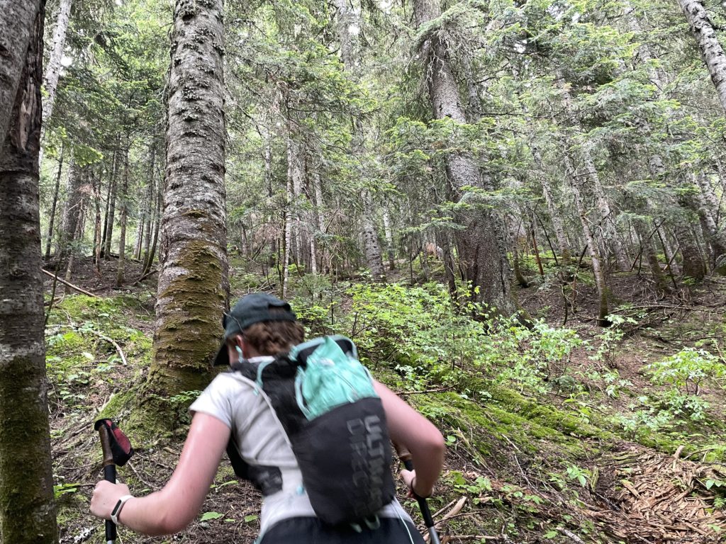
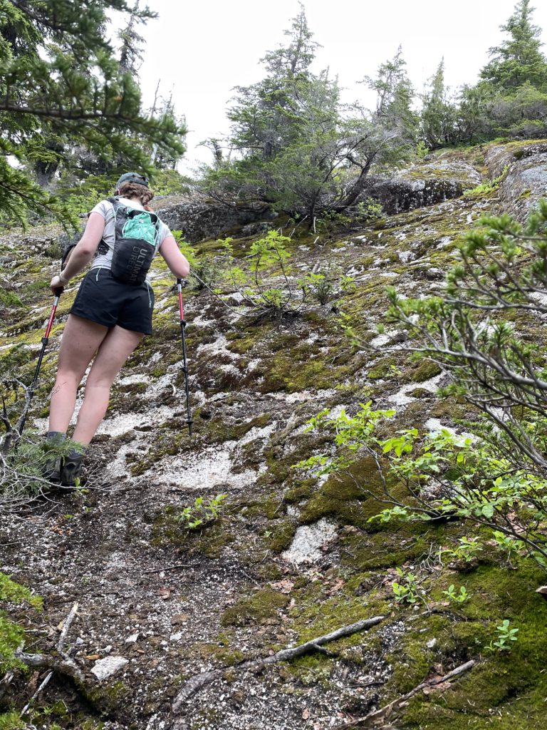
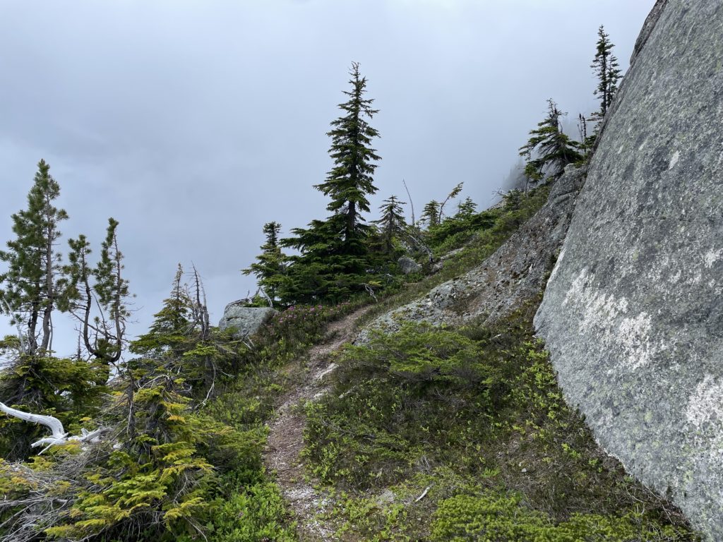
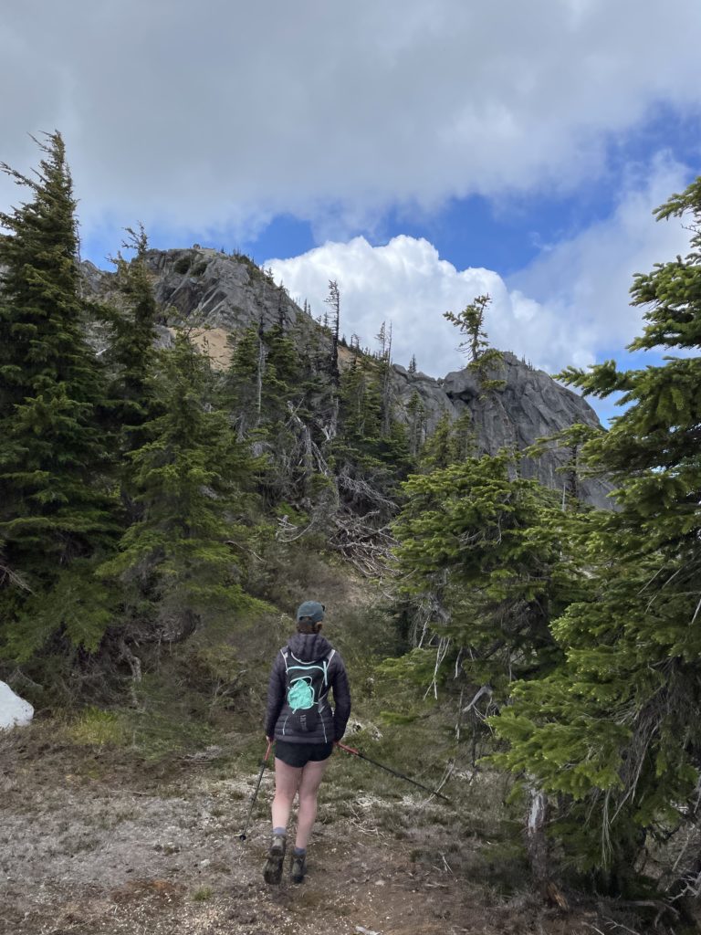
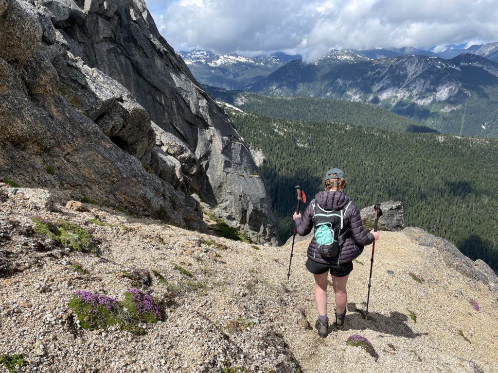
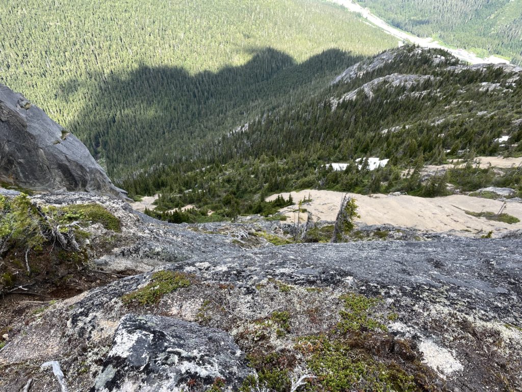
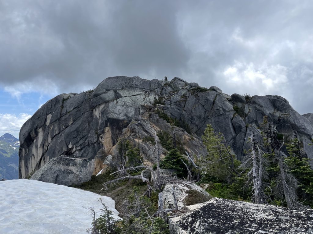
Unfortunately, there’s no carved out path, but the flagging was sufficient that we could make our way easily. Perhaps only 100m from the road the already minimal brush thinned out significantly, and we had nice open forest to ascend through. At around 1650m we broke out of the dense forest and onto slabby ridge line. In some spots the slabs were seeping quite a bit, making for a bit of a tricky ascent up, but as we got higher we found drier conditions. As we crested over the ridge line at 1700m we got a clear view of the summit and it looked fairly straightforward.
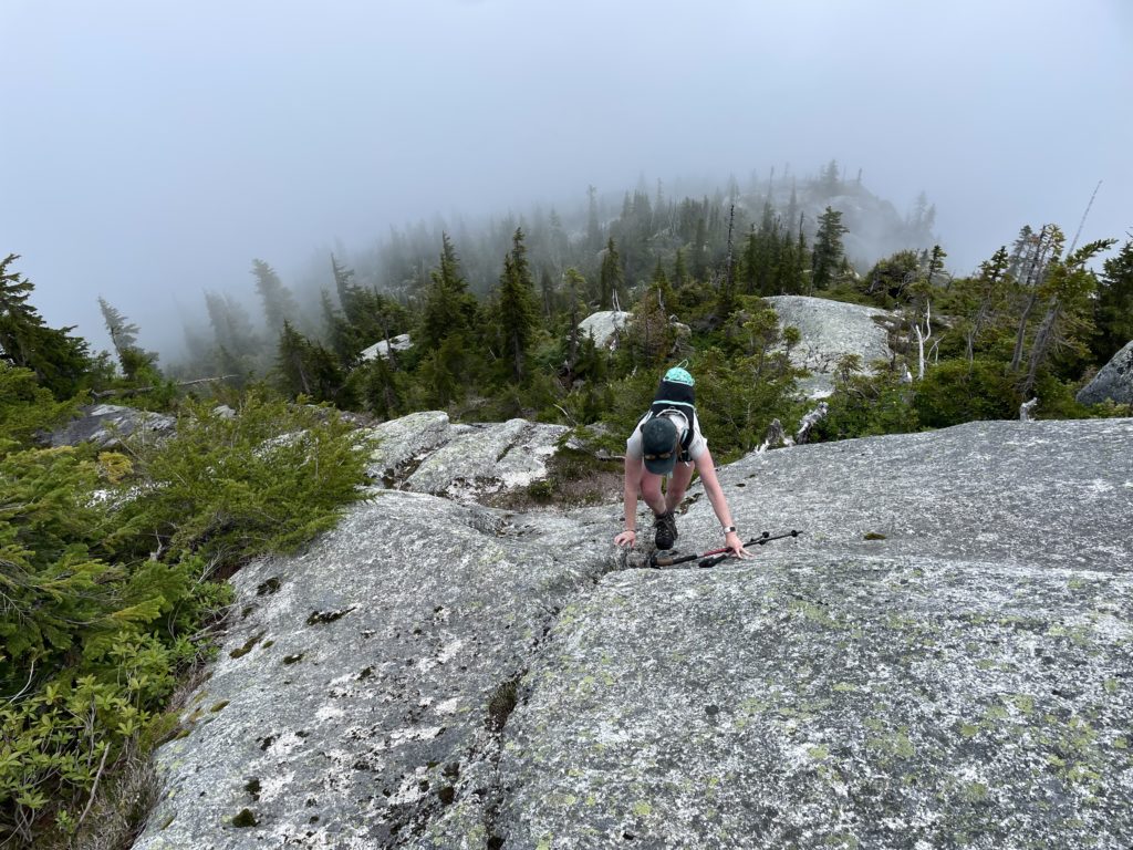
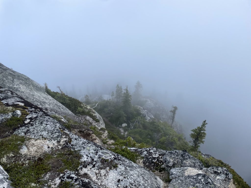
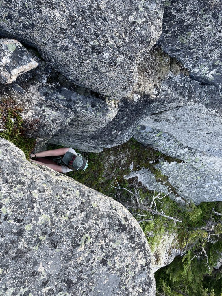
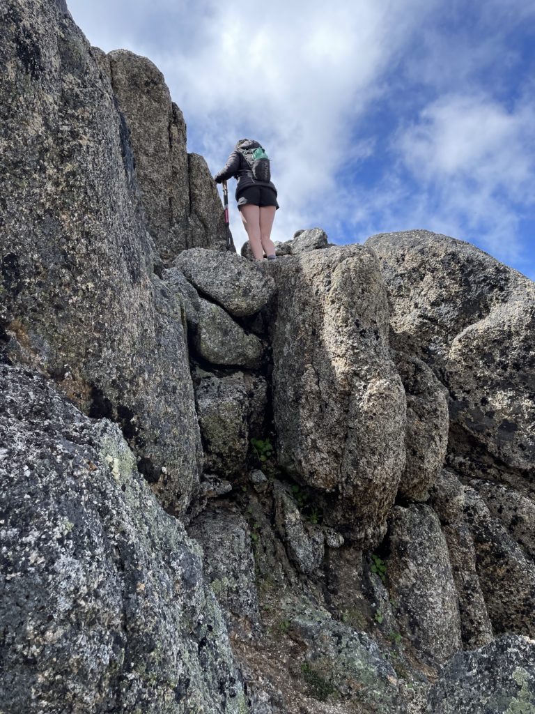
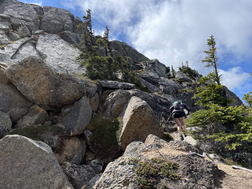
From the 1700m mark we accidentally cut too far climber’s right and had to bushwhack a bit to regain the ridge proper. There’s a bit of optional class 3 scrambling in here that we climbed up for fun and then found a small depression in the ridge to take a snack break away from the wind. We spent maybe 20 minutes hanging out and then continued up towards the summit. There was a small sub summit at around 1900m and then we dropped down onto a narrow connecting ridge. We descend around 15m climber’s right on scree to reach a ledge/slab system that took us up to the false summit. Then from the false summit it was a short walk to the true top.
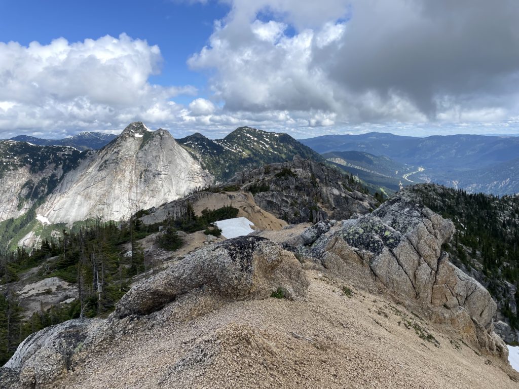
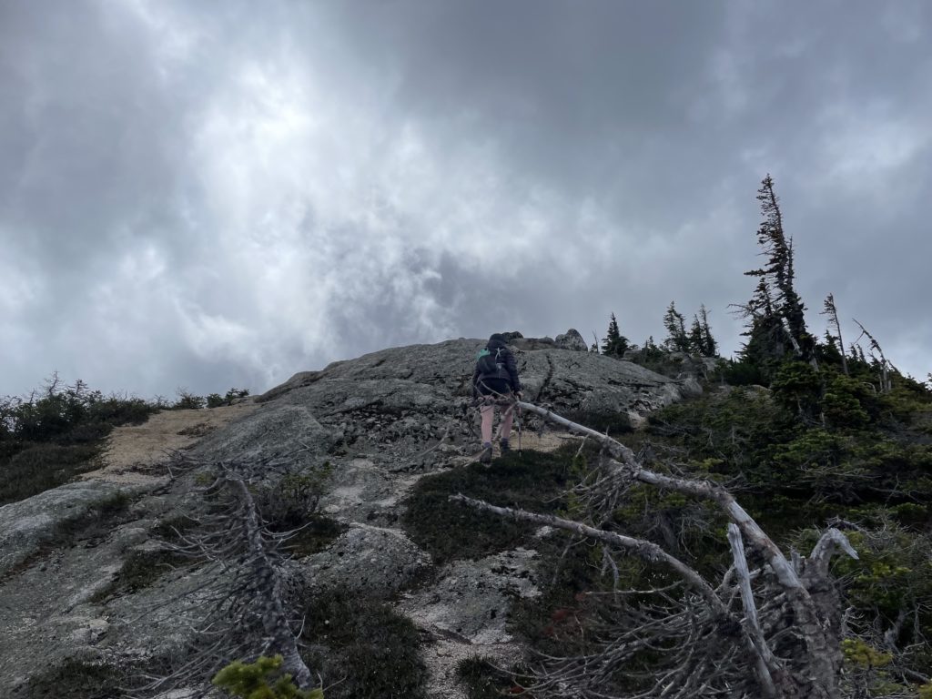
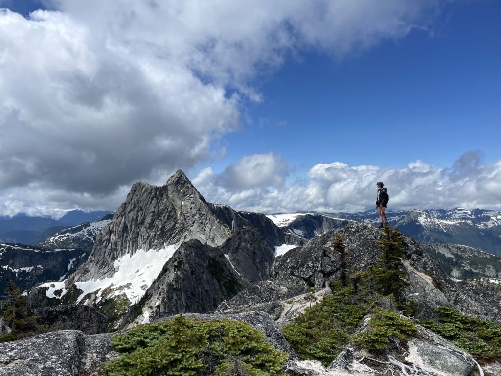
On the summit, the sun finally broke out and that called for a nice long break at the top to enjoy the alpine views and warm temperatures. After 30-40 minutes of relaxation, it was time to get going again and we began the 1km+ long traverse towards Needle Peak.