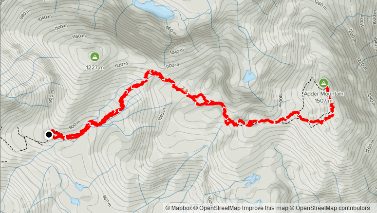
Elevation Gain: 687m
Distance: 9.59km
Total Time: 3 hours 39 minutes
Date: July 9th, 2021
My friend Jacob and I were headed over to the island for the July 10th weekend to meet up with some friends for a surfing weekend. We planned to leave early the day before, to get the most out of the weekend and decided we might as well try and grab a peak on the way over to Ucluelet. I hadn’t done any hiking/climbing on the island before and I soon found there was a wealth of possibilities. In order to make it to Ucluelet in time though, I ended up narrowing the search down to something near Port Alberni and with less than 1000m of elevation gain. Pogo Mountain looked interesting as a lesser done summit, but previous reports indicated 9 hours of bushwhacking, which appealed to neither of us. A quick search across the highway, yielded Adder Mountain. At a height of 1507m and a mere 687m elevation gain from the summit, it was the perfect fit and Jacob was keen to climb it as well.
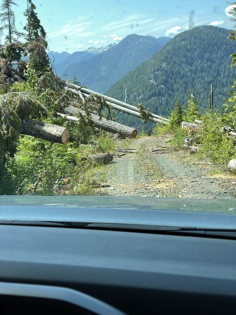
On the Friday morning, we set out at 4:00am to catch the 6:25am ferry (thanks to my lack of foresight in making a reservation) and thankfully made it on without a sailing wait. By 10:45am we were turning off onto the “560” FSR and making our way up the mountain. The FSR proved to be in much worse shape than anticipated and without 4×4 and some good clearance, I don’t think we would have made it.
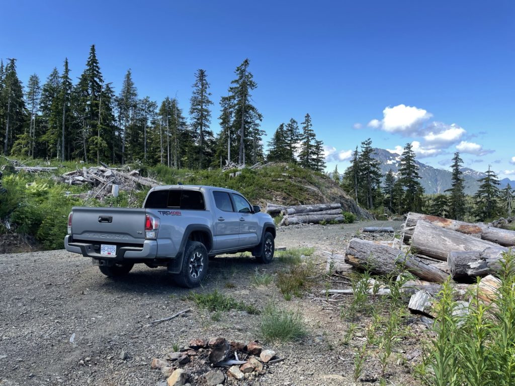
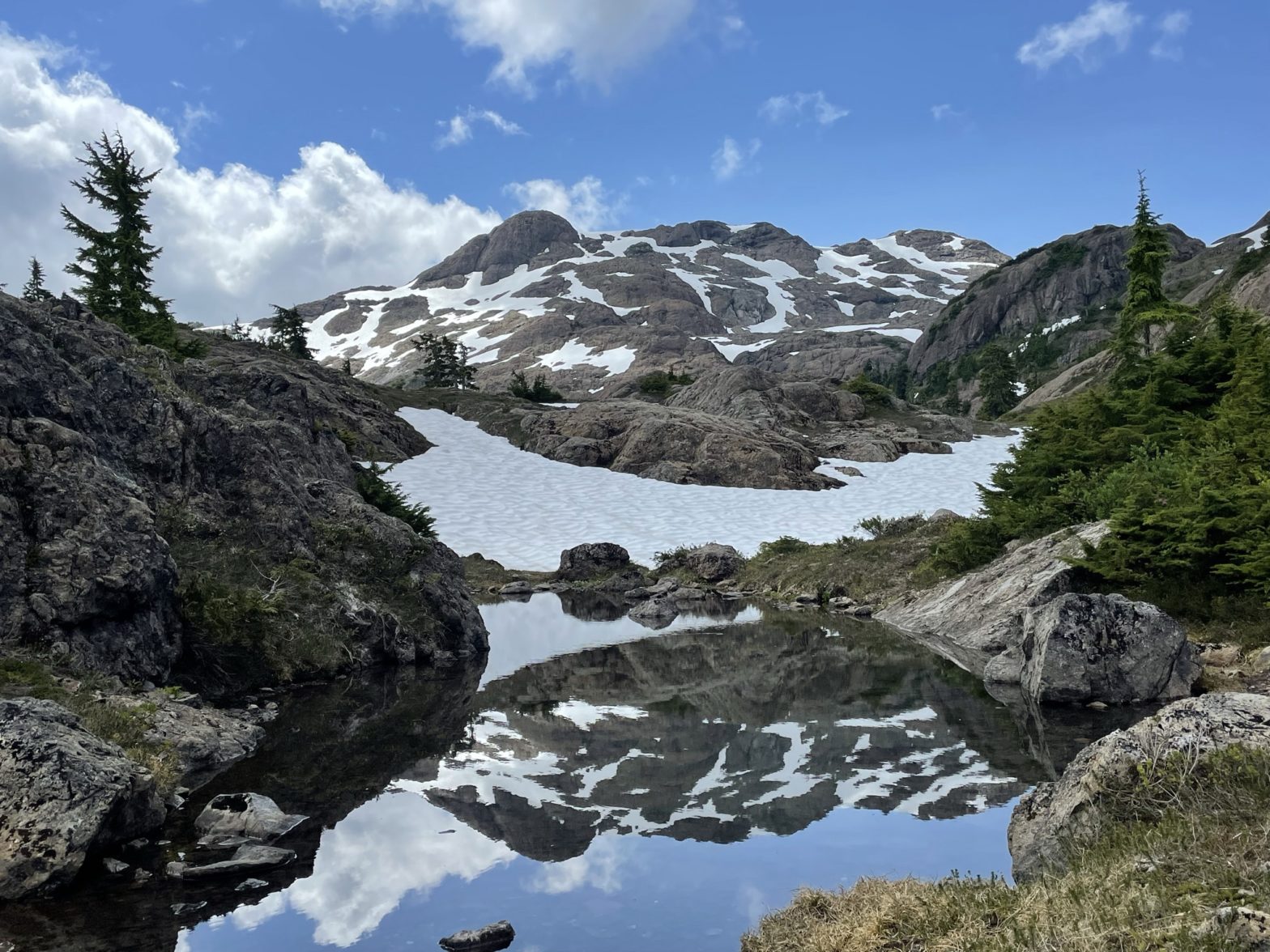
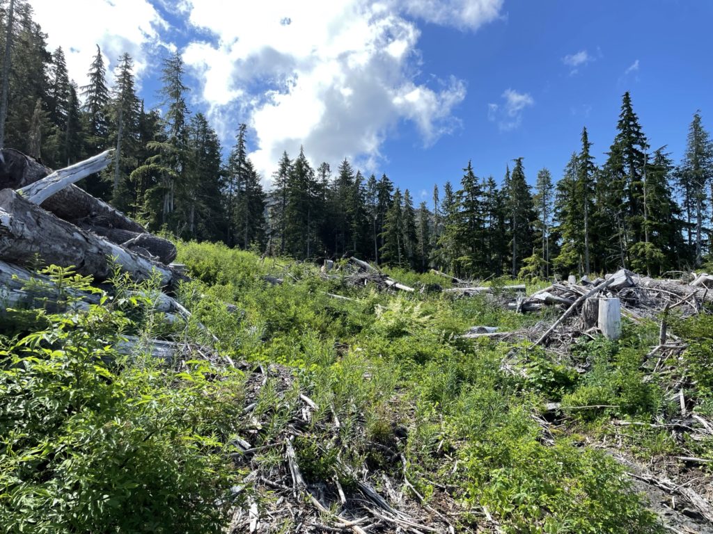
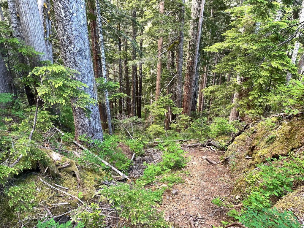
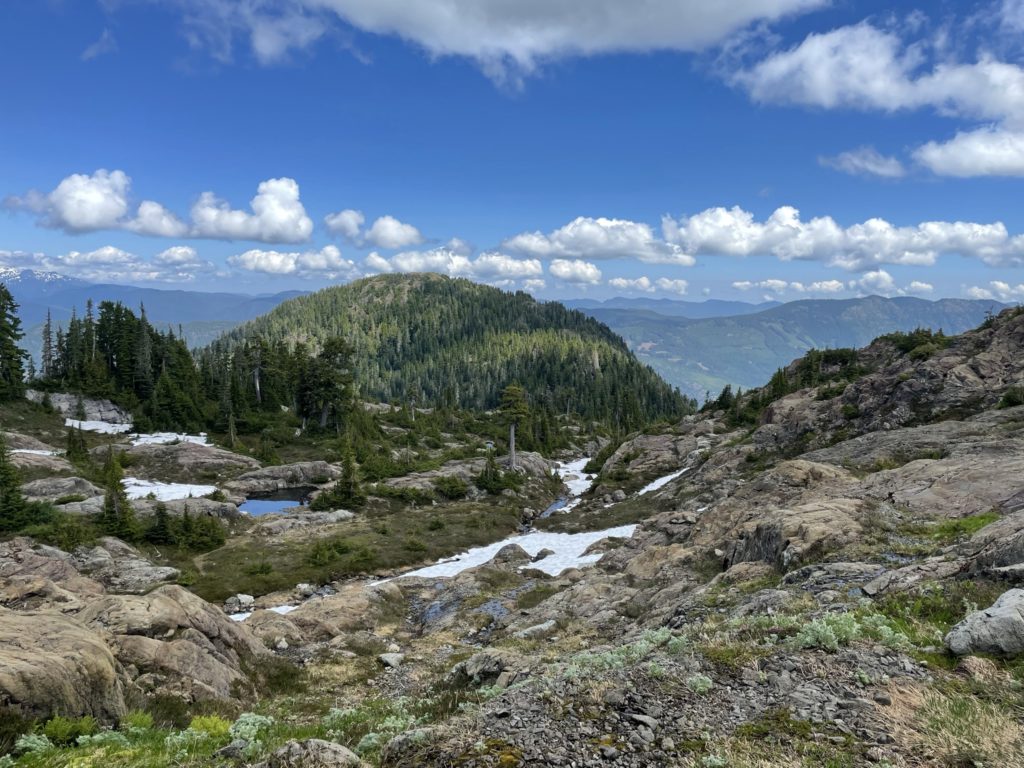
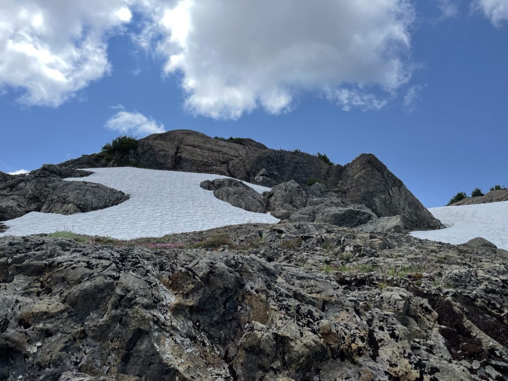
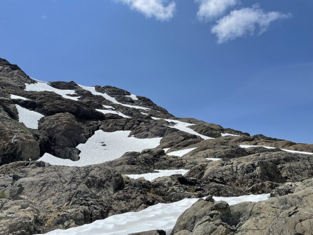
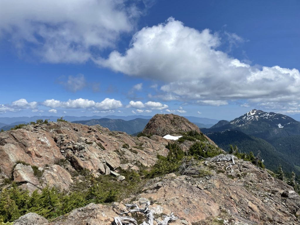
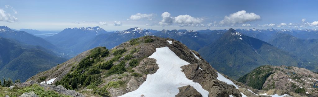
Finally, by 11:20am or so we made it to the trail head and geared up. We couldn’t find the trail head as marked by the GPS, so we did a short cut through an old cut block and rejoined with the trail from there. Once on the trail, there was a ~2km plod through the forest on a well marked trail before starting to break out into the alpine. Here there were numerous small tarns and interesting rock outcroppings. We were able to get our first glimpse of the summit as well and it looked like there were quite a few options to reach the top.
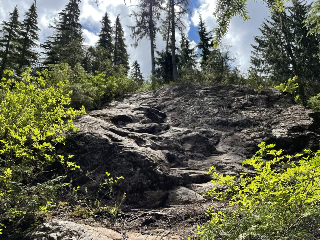
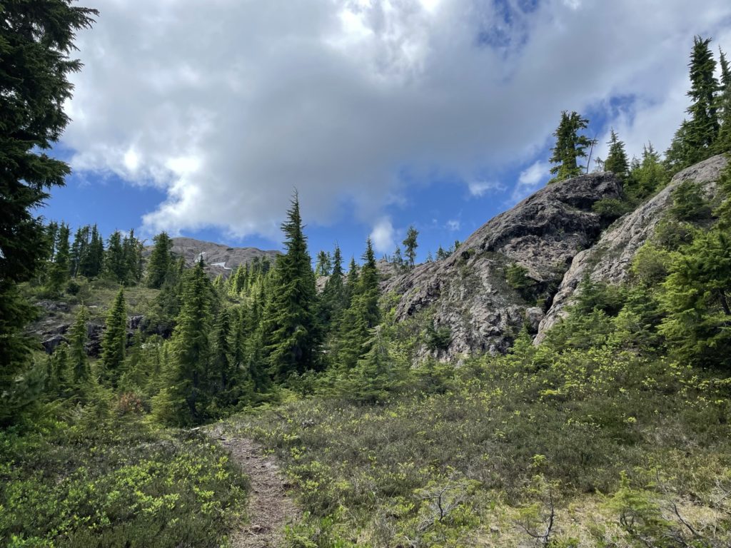

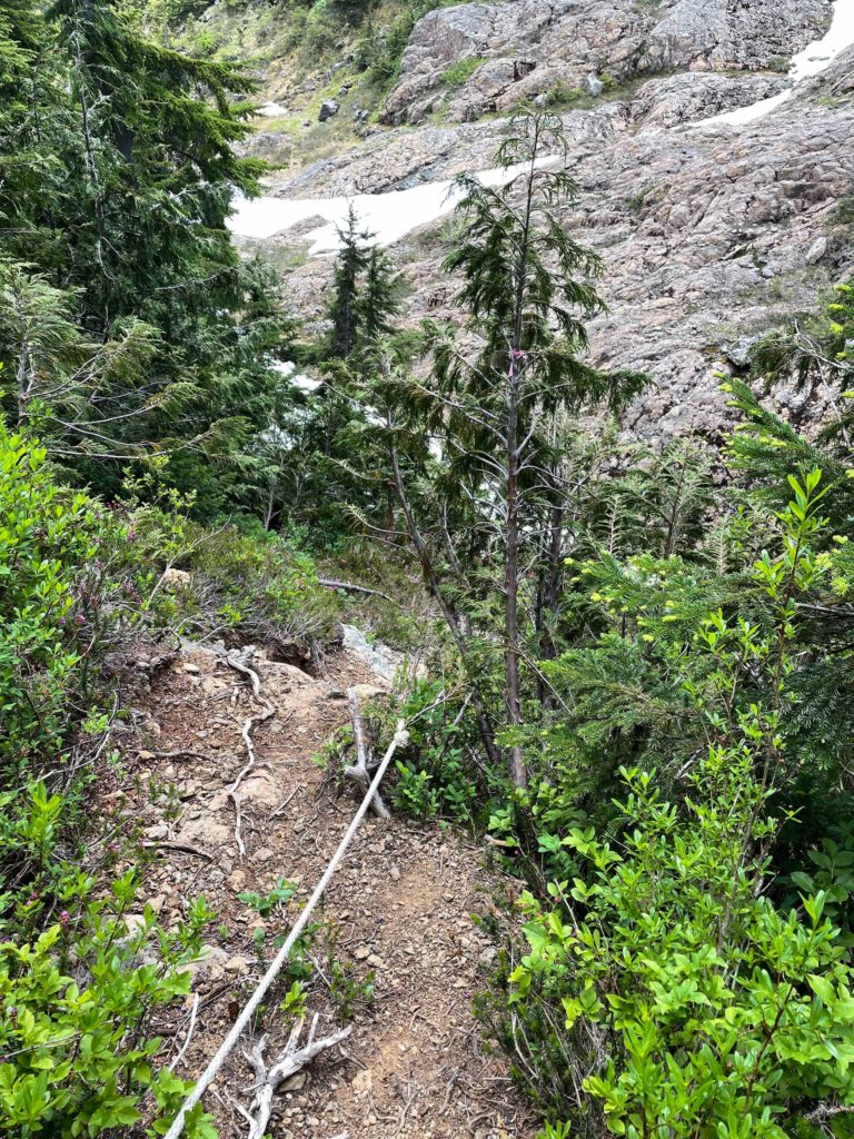
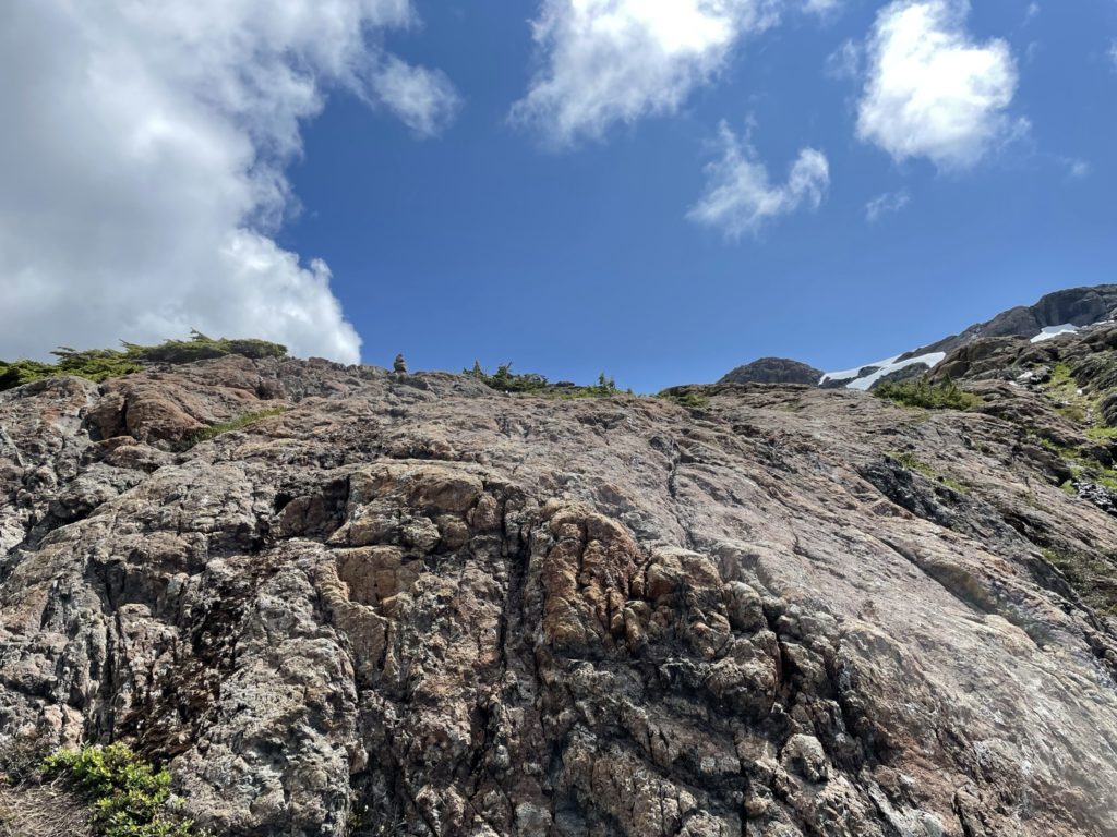
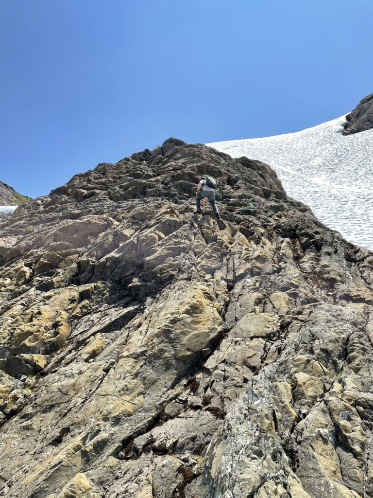
Again we continued on the well marked trail, making our way through the rock outcroppings and then reached a short downclimb with a batman rope. Once we reached the end of this section, a steeper climb began through the lower flanks of the summit to gain the final slopes to the top. There were a few class 2 steps here and there which added some unanticipated fun to the route. The route markings at this point had mostly faded out with one or two cairns placed near the base of the summit. Jacob and I then had a few options before us. We could do a more direct ascent via a mix of steep snow and rock, take a tamer approach at climbers left with a bit of snow and mostly rock or at climbers right a long sustained class 2 column of rock to the ridge and gain the summit from there. We decided on the route at climber’s right and started our way up the column.
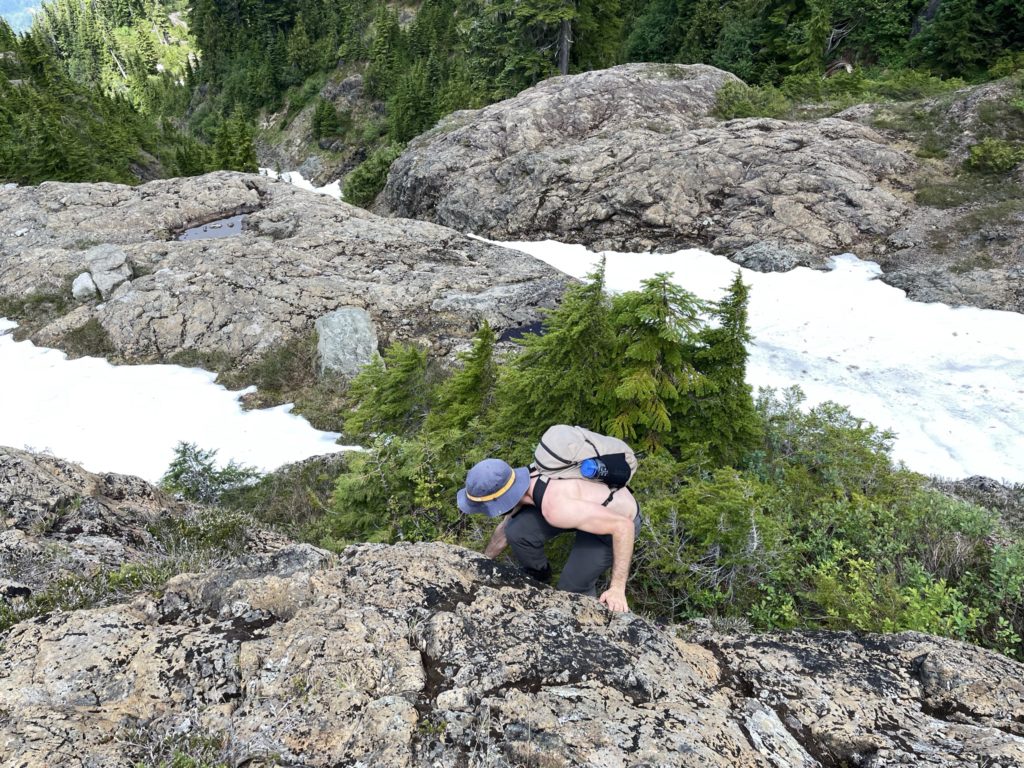
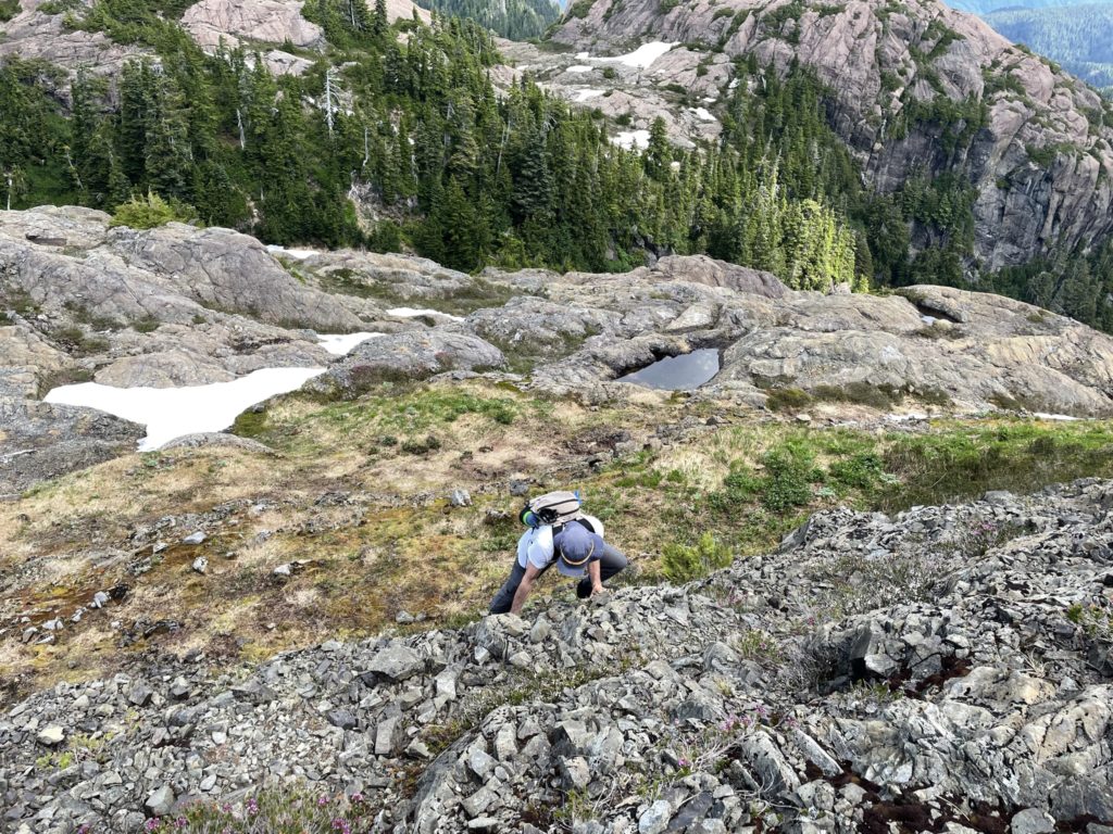
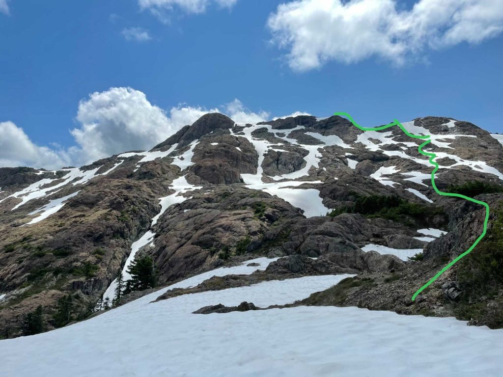
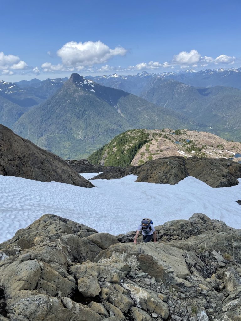
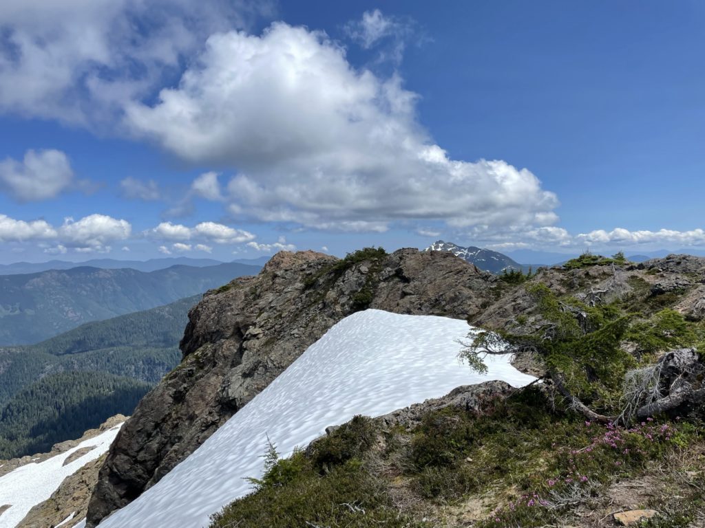
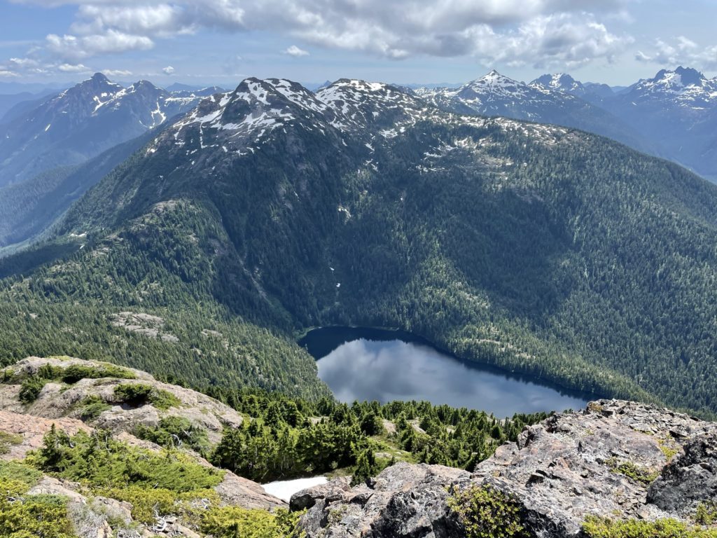
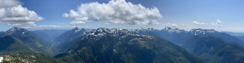
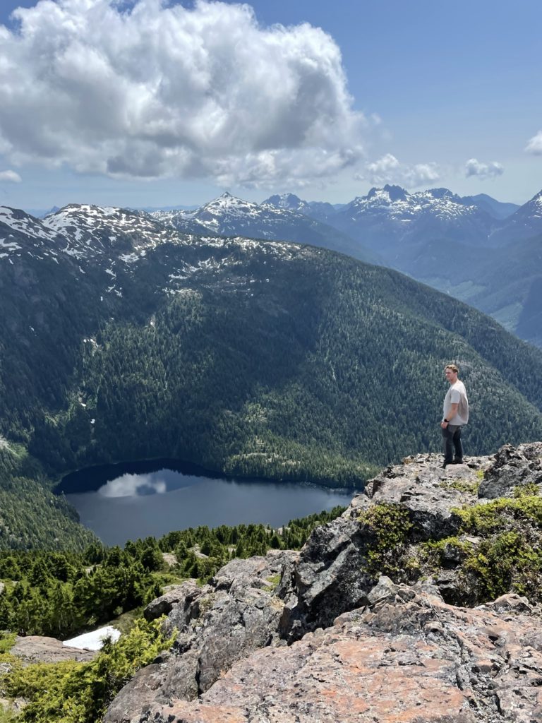
Here the rock quality was superb, with great holds and limited to no exposure all the way up to the ridge. We made it up in short order and then it was a simple walk along the ridge to gain the summit. At the top the views fantastic with Pogo Mountain, Klitsa, Steamboat Mountain and many others all visible. The weather was clear and sunny, so we spent a fair bit of time up there, before we tired of the bugs and opted for a descent. On the way back, we just retraced our steps back to the rock column we ascended and made a straight forward descent back to the bottom. Then it’s a back on the well marked trail again and a quick plod back to the truck.
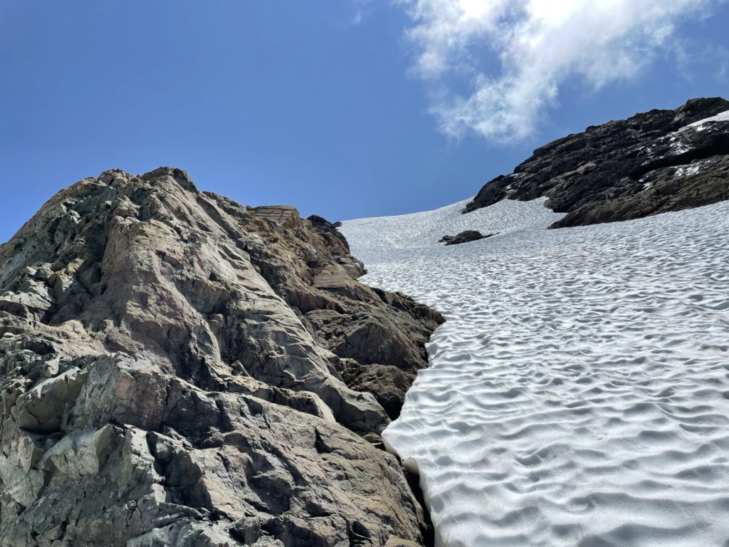
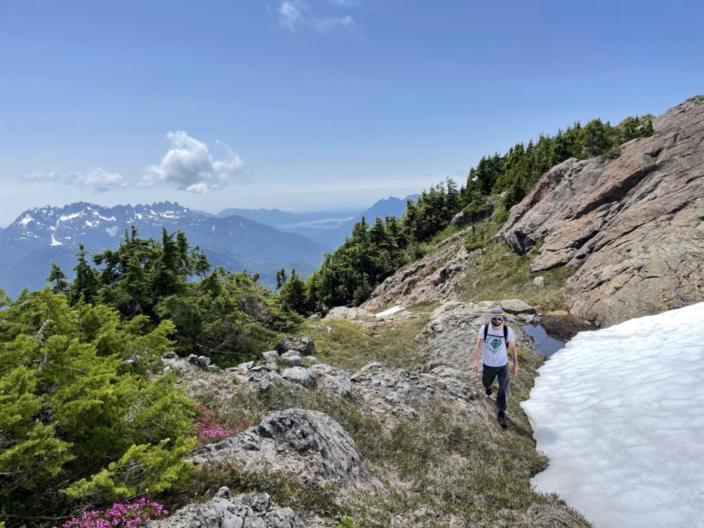
Depending on the time of year, the route options look like they can vary wildy, but for this time of year, thanks to some residual snow we were funneled in to an excellent scrambling route to the ridge. I was expecting a mediocre hike to the top not a scramble, when we first set out, so I was super pleased with the overall route and fun level. The trail is in great condition and I ‘d like to extend my thanks to whoever is maintaining it and removing deadfall from the FSR.