Elevation Gain: 1,979m
Distance: 17.38km
Total Time: 6 hours 23 minutes
Date: September 20th, 2025
Alex and I had a singular fair weather day to work with on the weekend of September 20th and we had a few ideas floating around. We couldn’t commit to a massive outing as Alex had late plans the night before, so we mulled over some easier options. Eventually we landed on Mount Brew. This bulky massif rises high above the town of Lillooet and is the 5th tallest in Southwest BC. Despite that, it’s not a particular exciting mountain. Brew is rather just a large broad peak with scree filled slopes on most sides and a few sections of scrambling. Nonetheless, it promises good views and Alex likes the high prominence peaks so why not!
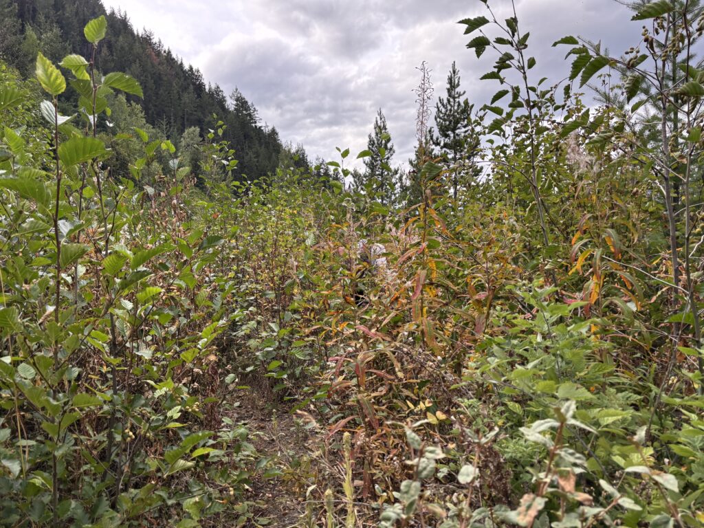
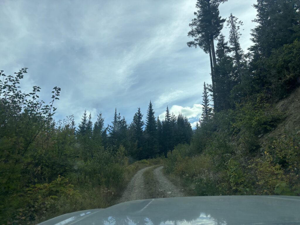
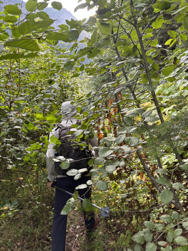
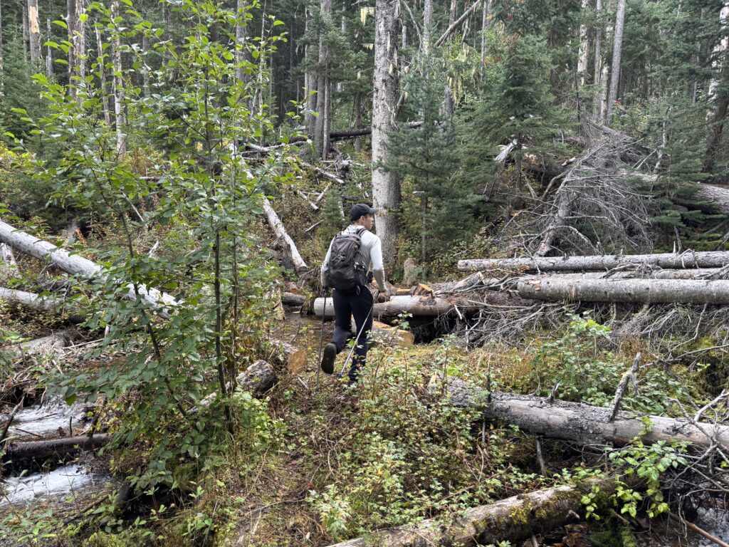
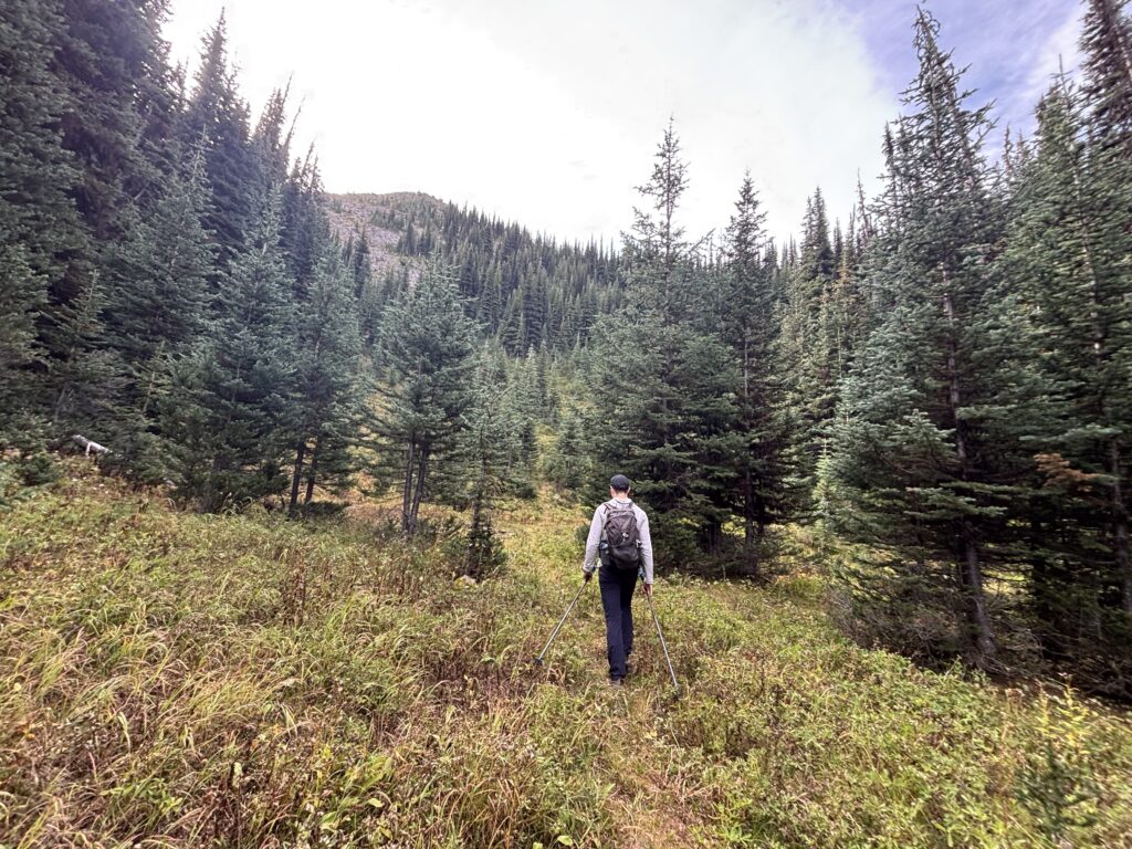
Driving to Lillooet is a long one as one might expect, but the Enterprise Creek FSR was in nominal shape and we reached the trail head by 10am. The first part of the adventure is a short overgrown section of road and then we had a long pleasant trail into the alpine.
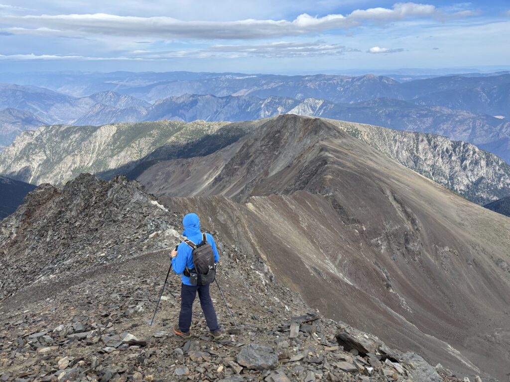
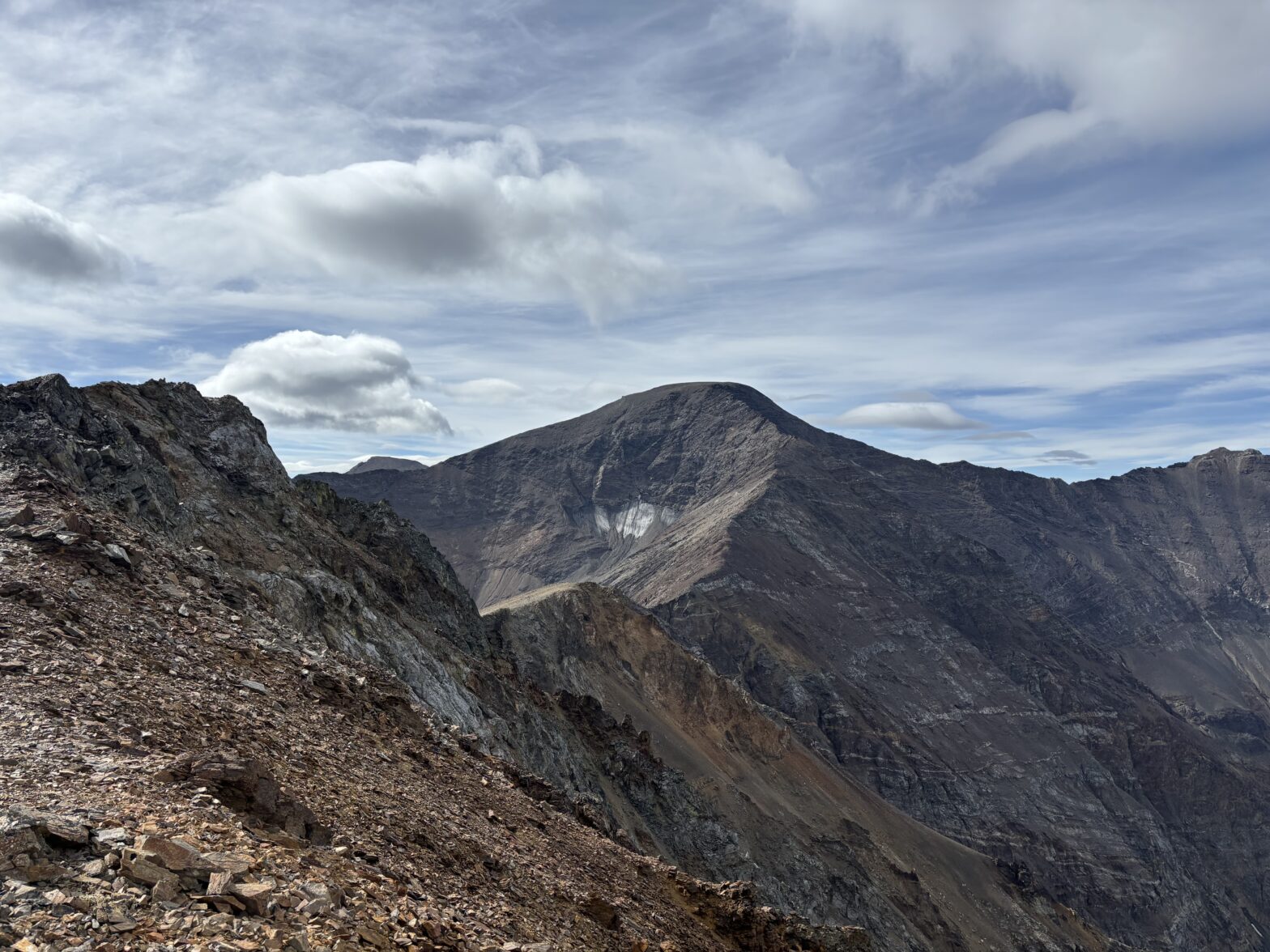
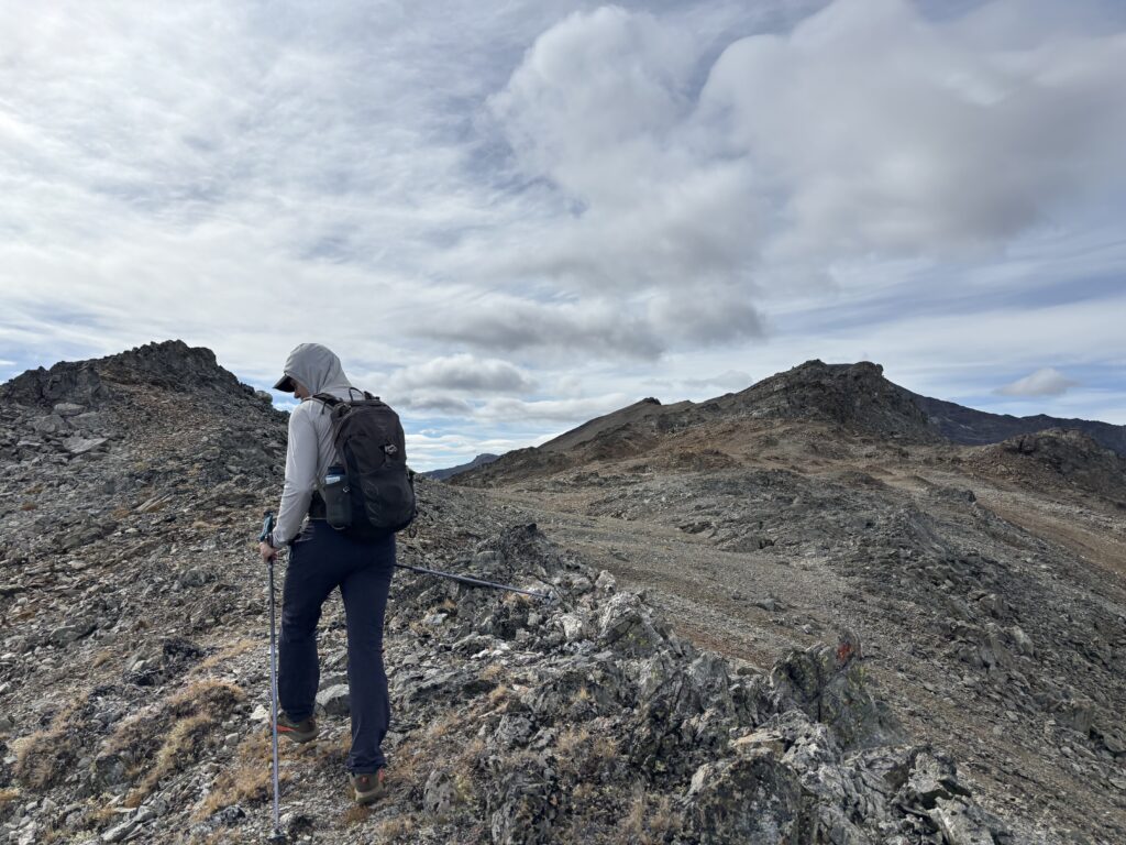
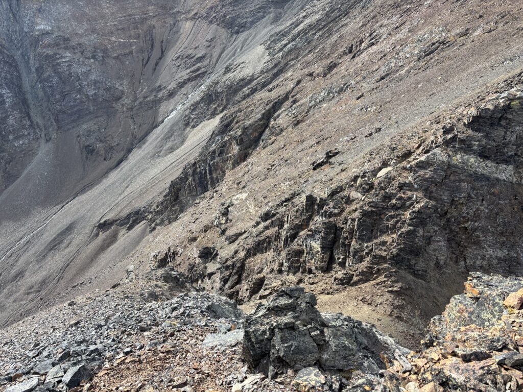
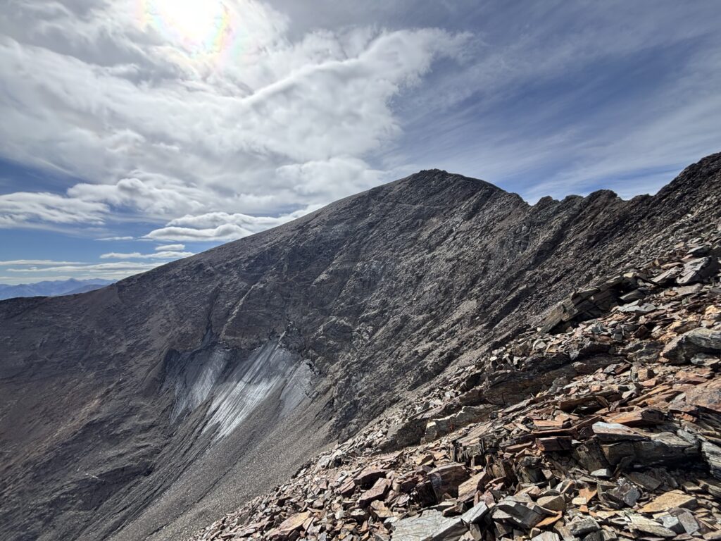
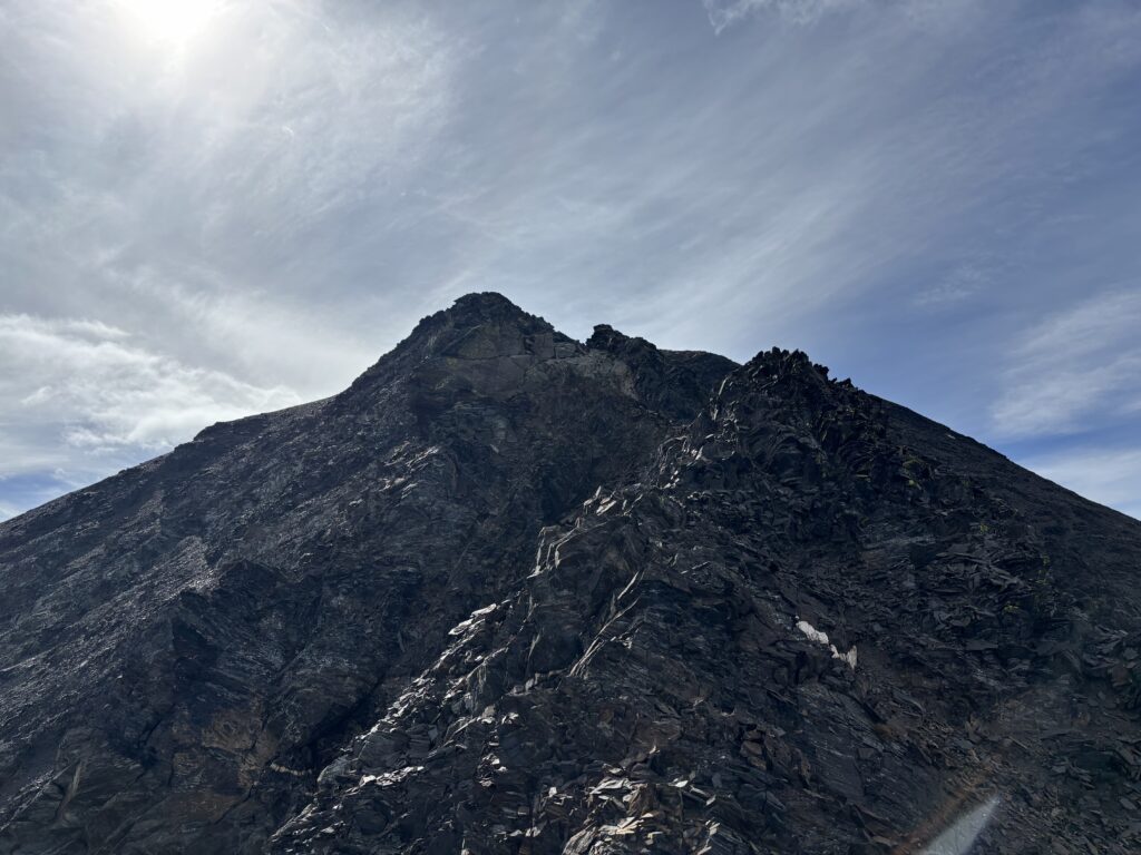
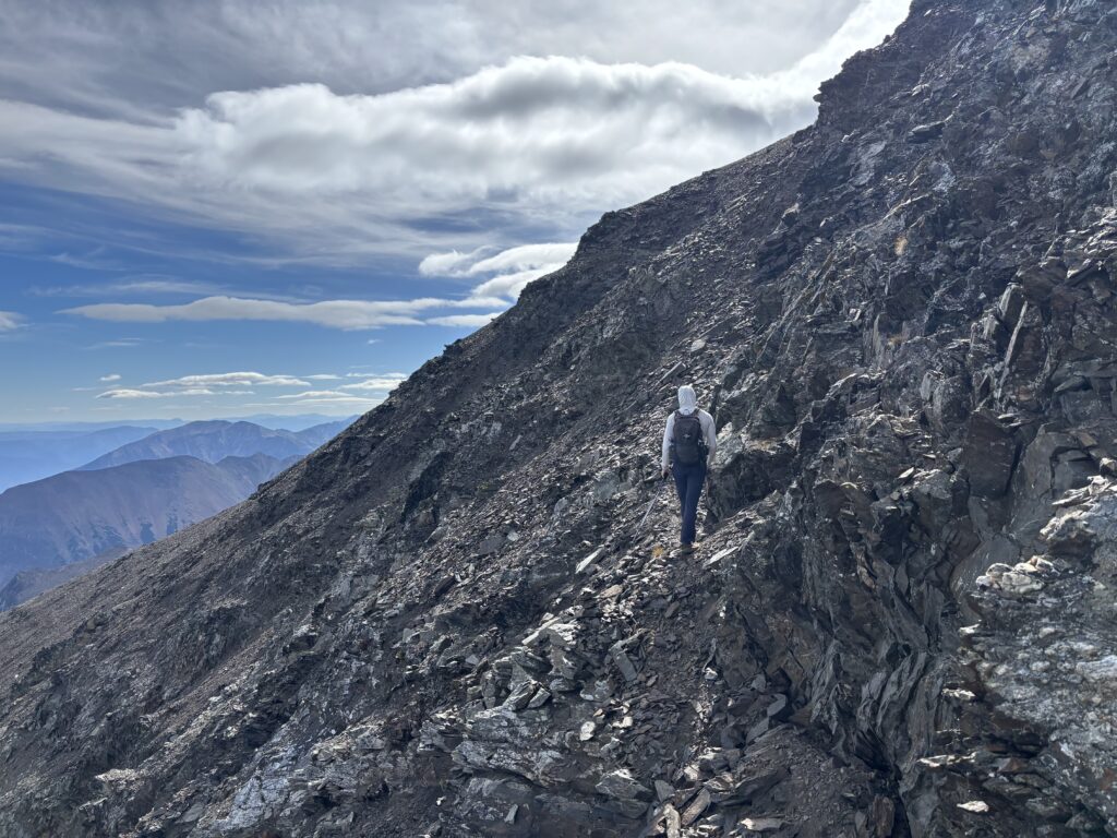
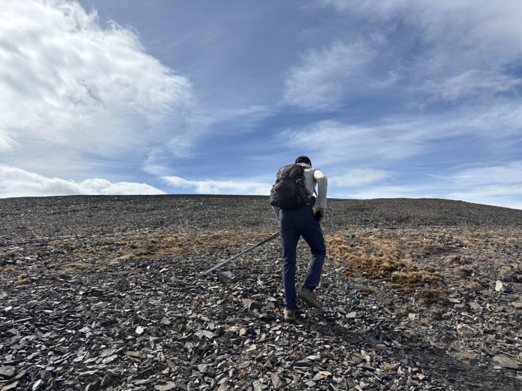
Above treeline it’s a long and fairly pleasant ramble along the Northeast ridge towards the summit. Below the main summit itself is a section of fun 3rd class scrambling on shattered rock. A few cairns marked a bypass and then the difficulties were over.
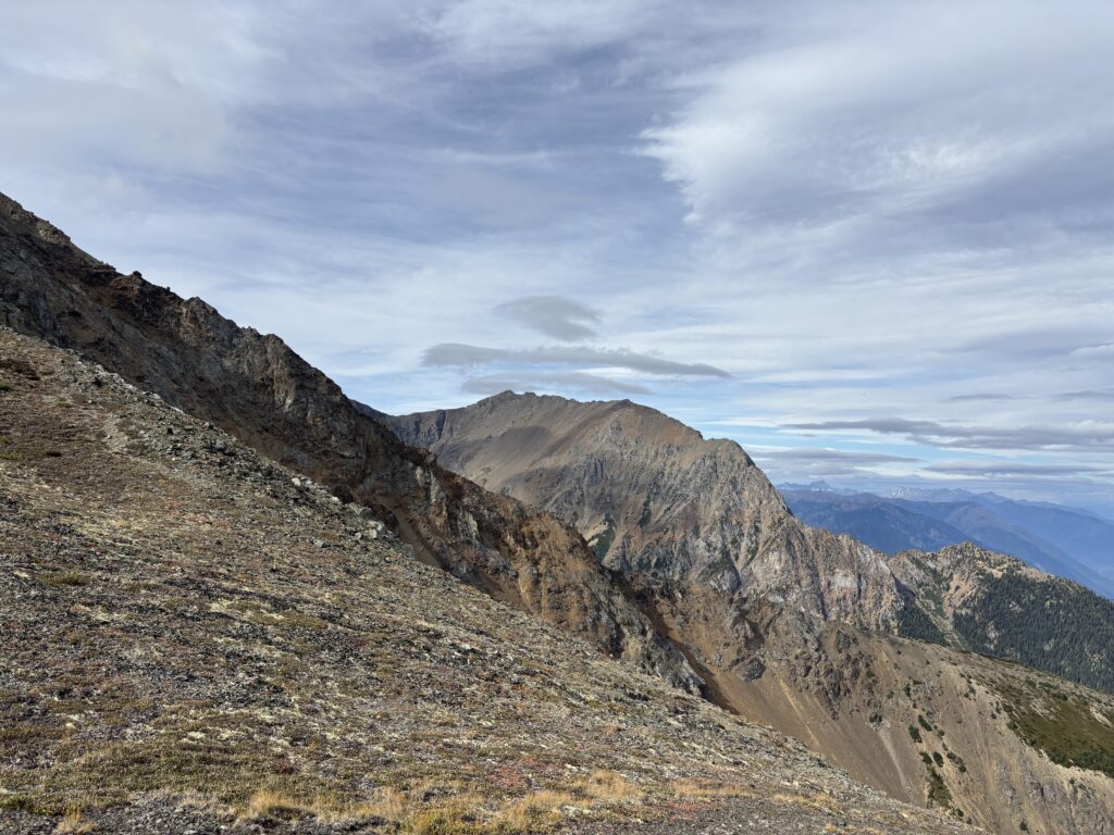
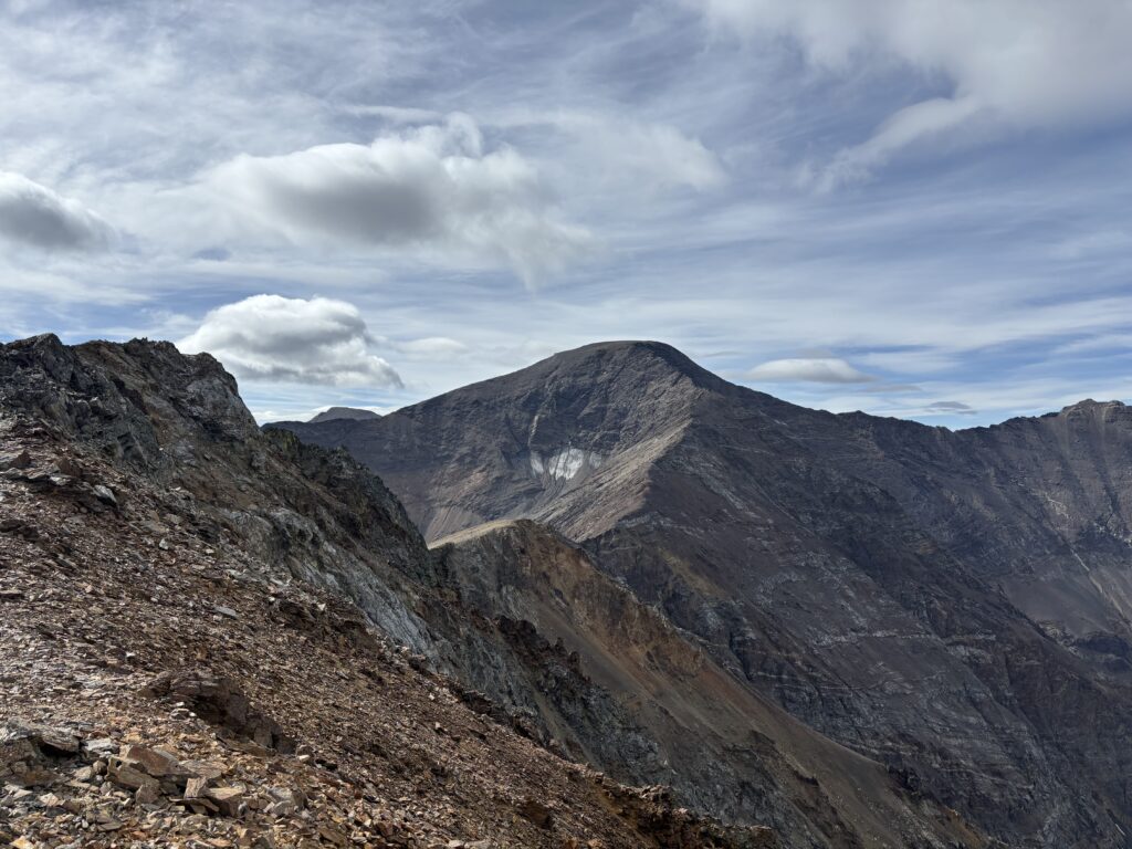
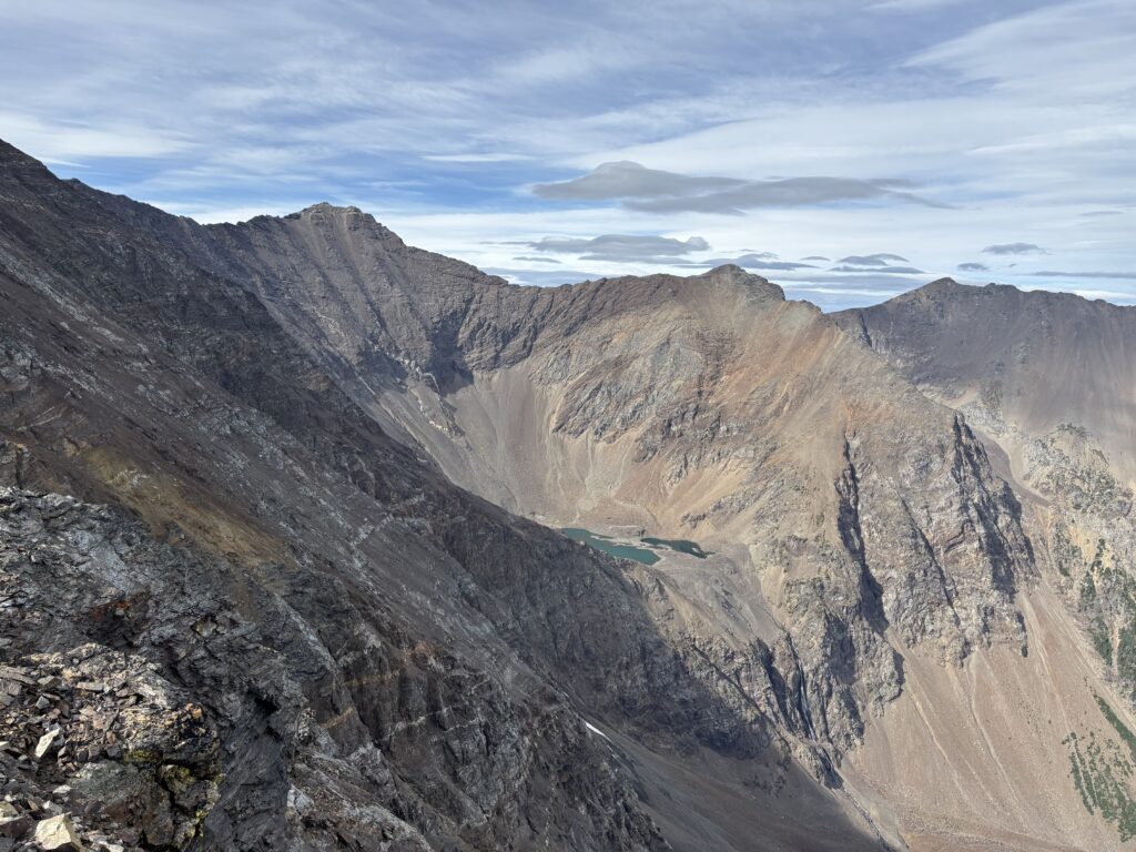
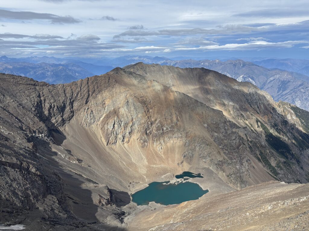
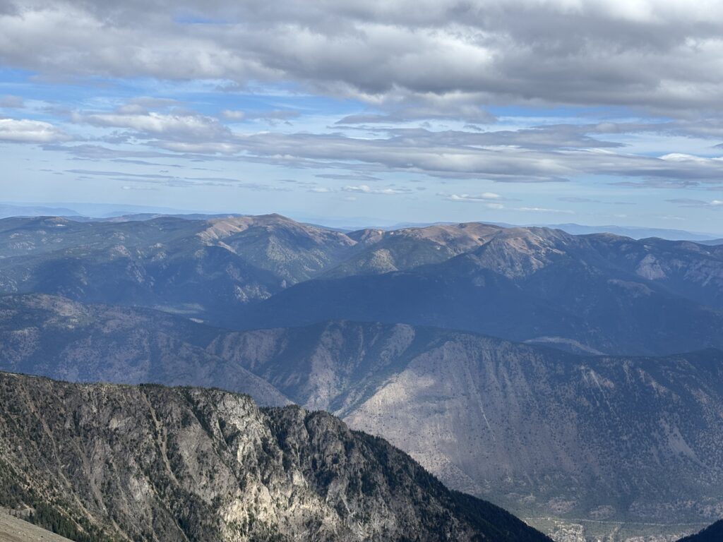
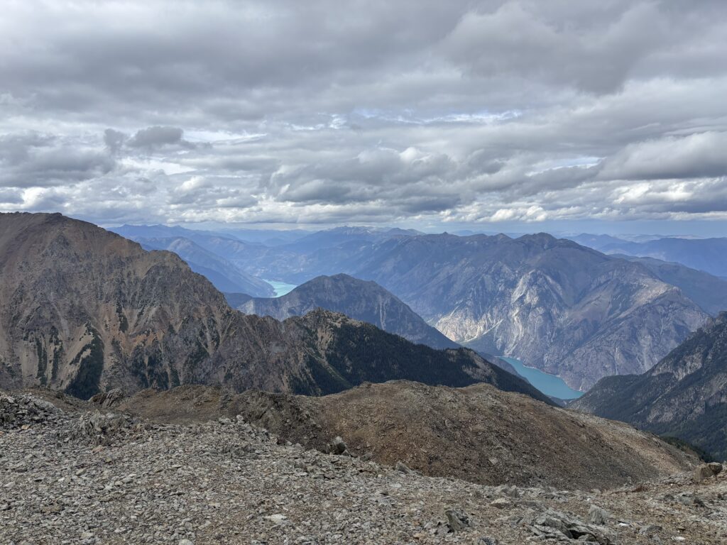
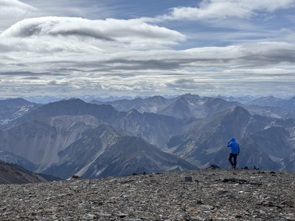
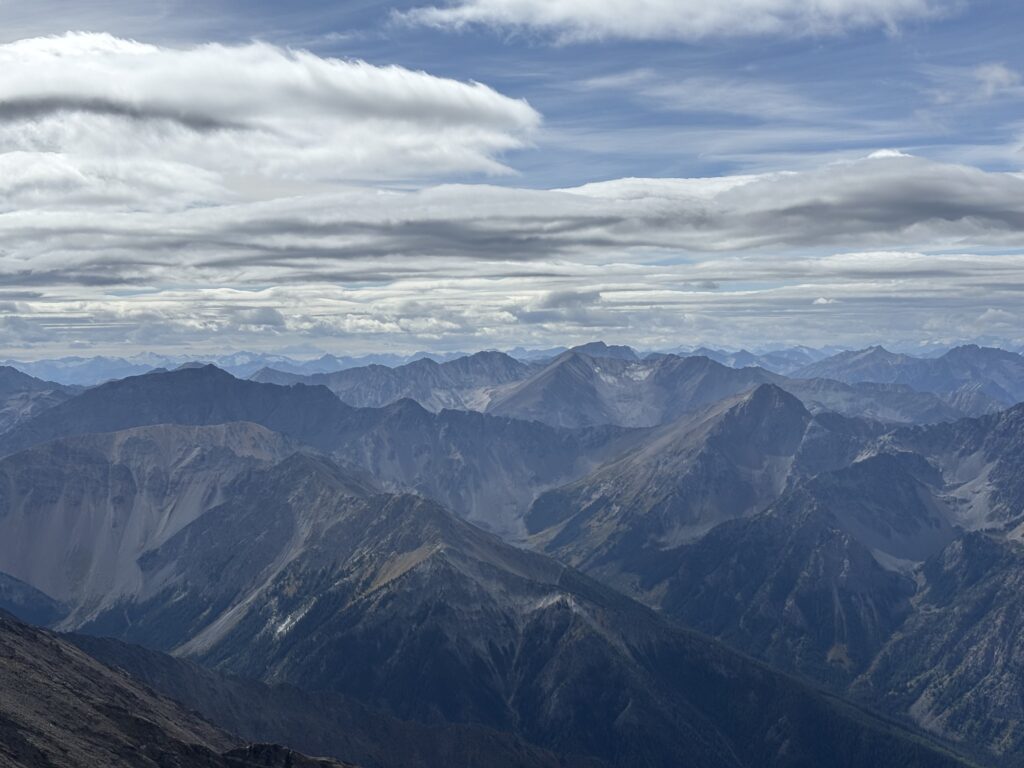
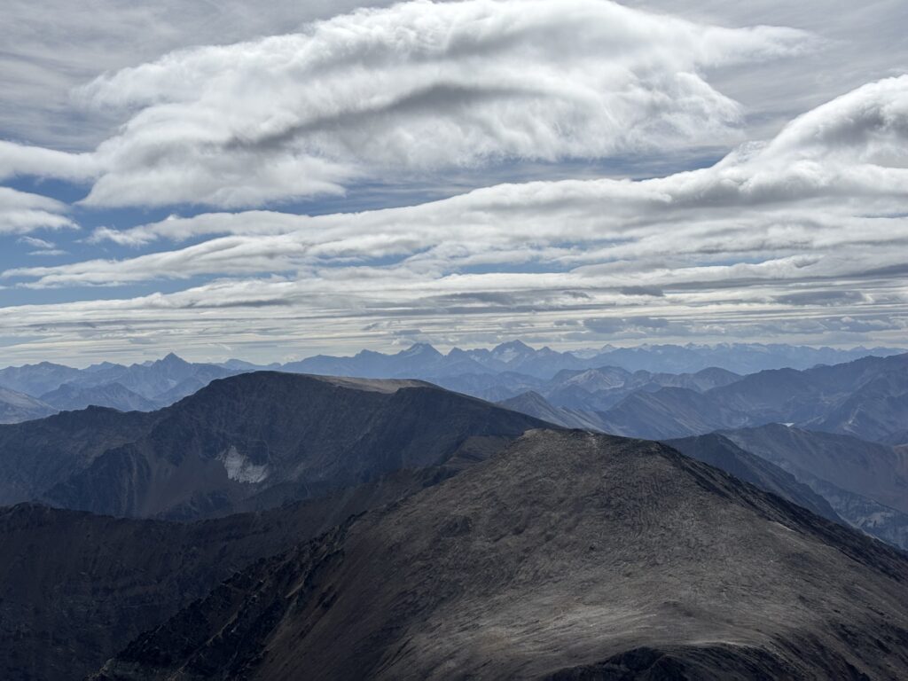
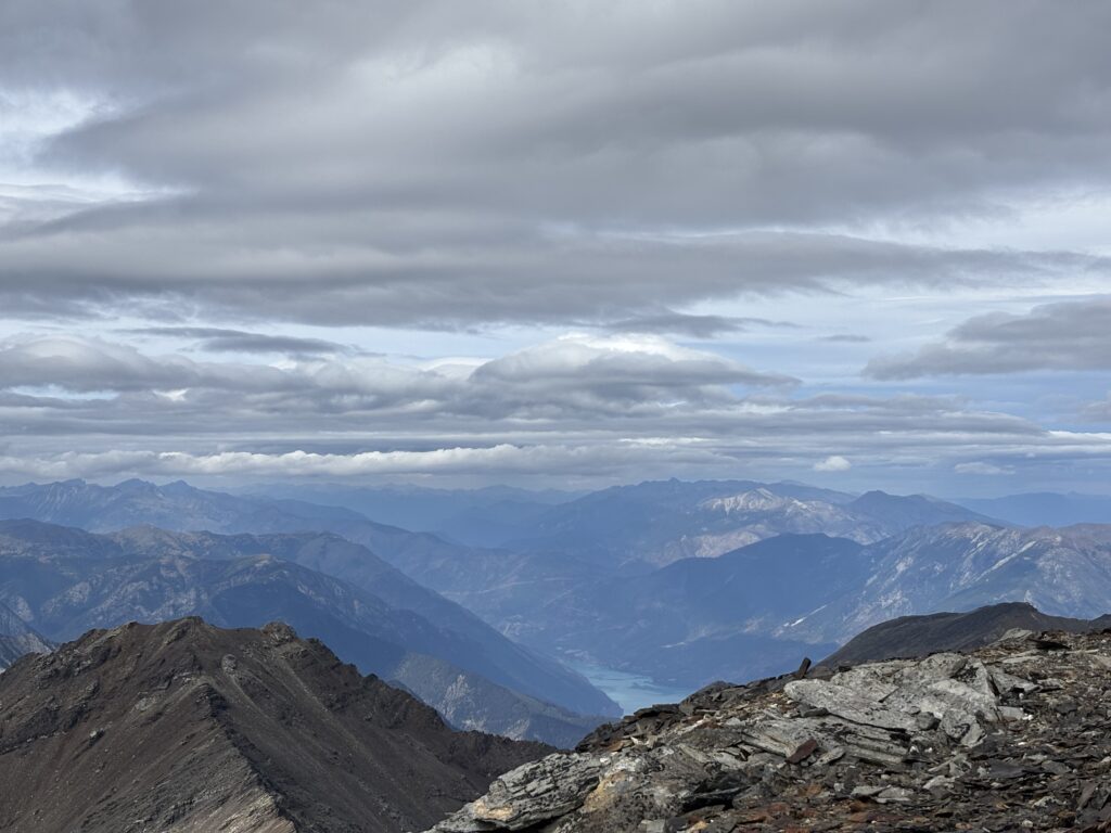
From the top we had great views into the Phair Creek and Texas Creek area and could see as far south as the Mehatl group. To the west the clouds obscured the views more, but Whitecap and the Seton area made an appearance. Winds quickly drove us off the summit and back down the ridge where we were sheltered from the cold.
We reversed course and were back at the car by 4PM. A reasonably fun outing with great views! Our drive to hike ratio was heavily skewed but that’s how it is when you seek out good weather.