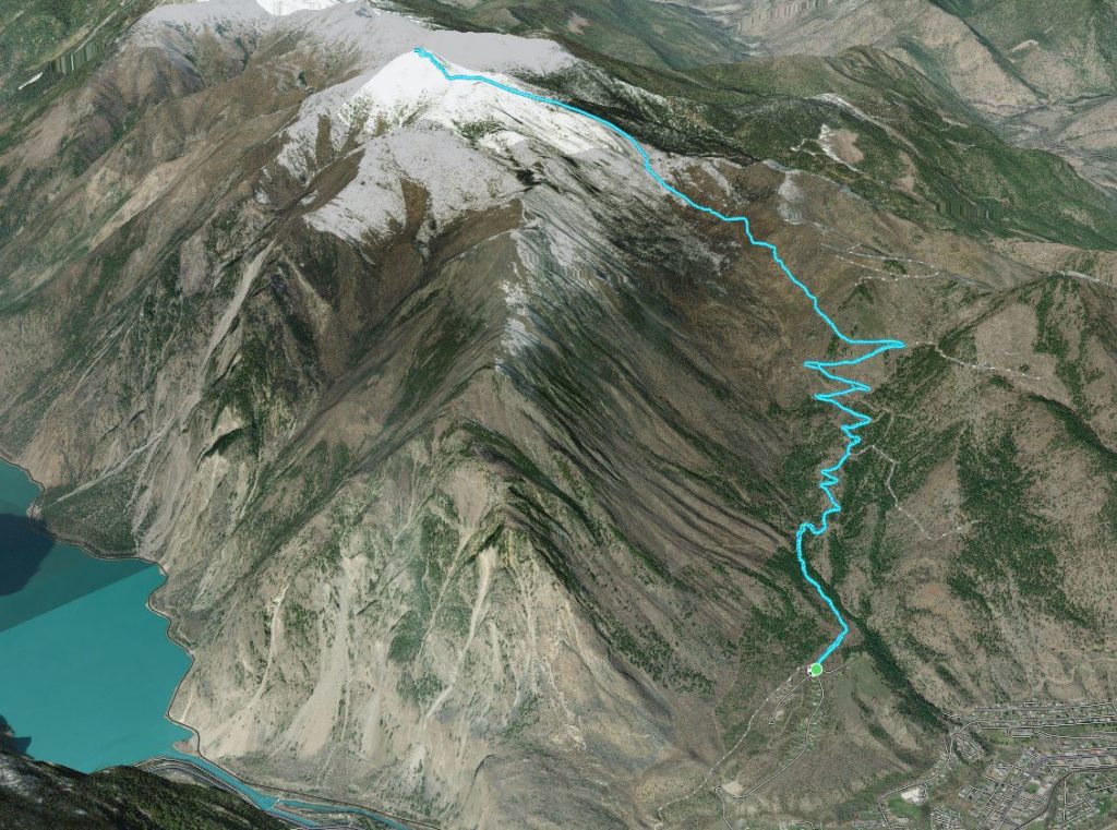
Elevation Gain: 2045m
Distance: 22.93km
Total Time: 8 hours 47 minutes
Date: February 9th, 2023
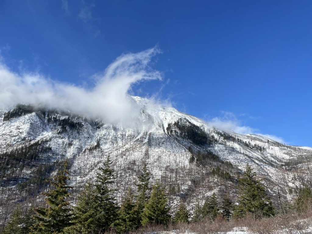
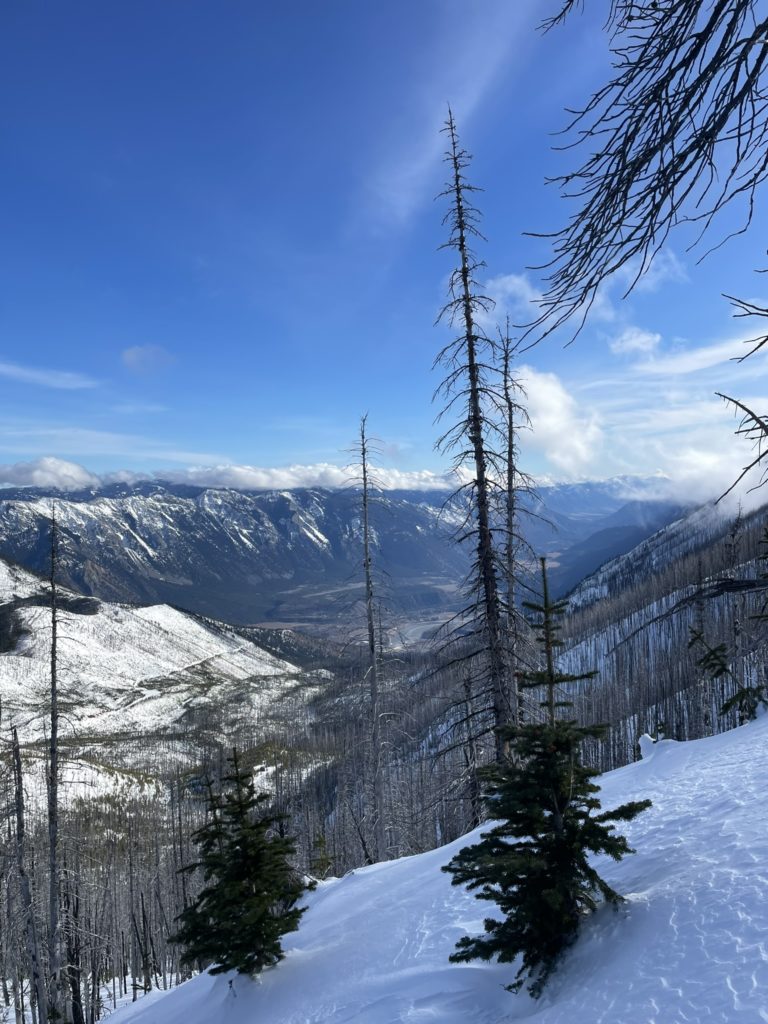
Mount McLean towers 1000 plus meters above the Seton Lake area at a total height 2427m. It’s the highest summit in the Mission Ridge and presides in the wind scoured rain shadow of the coast mountains. The summit is not particularly challenging from a technical perspective, but it does require a 23+ km journey and over 2000m of elevation gain to reach it. I’ve seen a mix of trip reports doing this summit in both the summer time and winter time, but I had always planned to do it as a winter trip.
Brayden was staying out towards Lillooet for the week and we had been discussing doing something in the Duffey. However, a wave of snow storms was rolling in from the coast and that elevated the avalanche danger on all our planned objectives. Looking further East, I figured we could take advantage of meager snow fall in the Lillooet area and find a same summit there. I did a quick reconnaissance of the map and the familiar name of Mount McLean popped up. Brayden was keen to go for it, so I agreed to meet him in Lillooet around 8:30am and we could start from there.
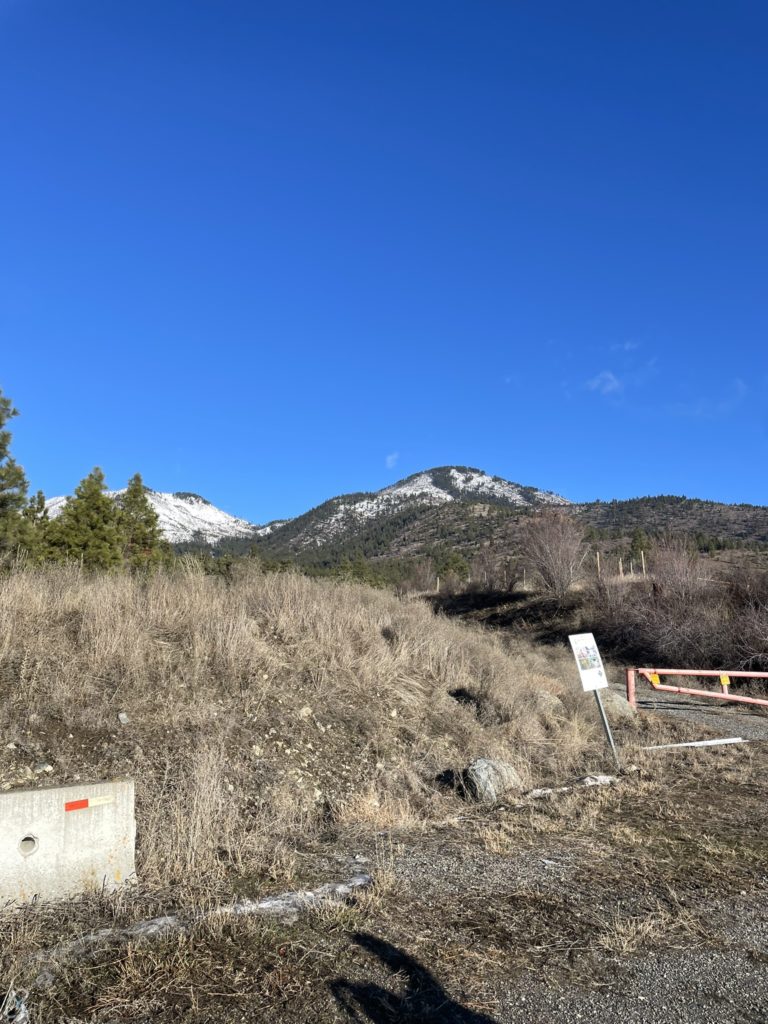
On the Wednesday morning I made the 4 hour drive out towards the trail head. I nearly ran out of gas before reaching Pemberton, but pulled in just in time. After a quick recharge with coffee and a burrito, I was on the road again. I met Brayden shortly after 8:30am and we drove up to the trail head from there.
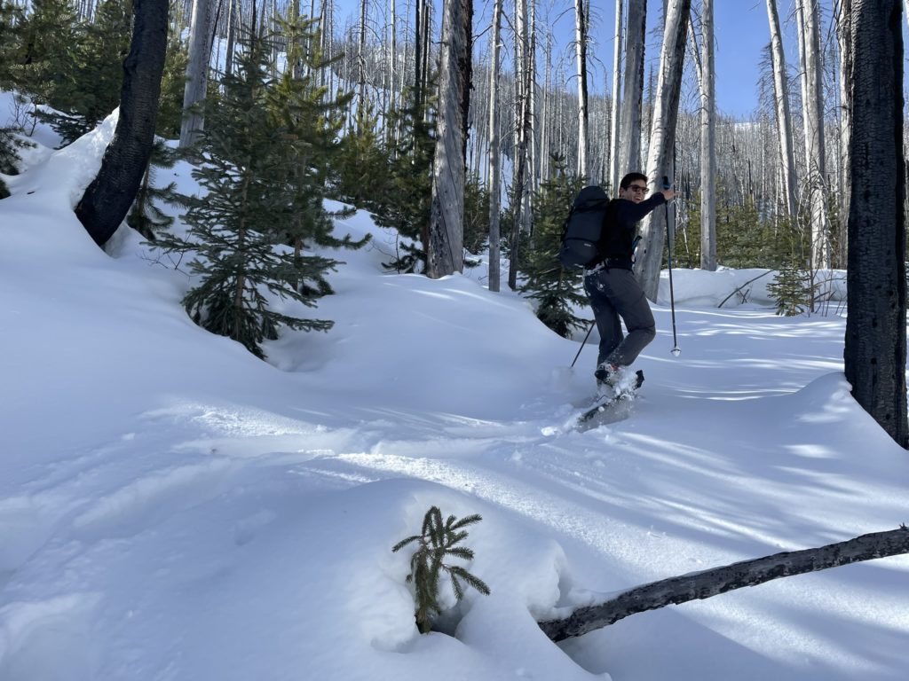
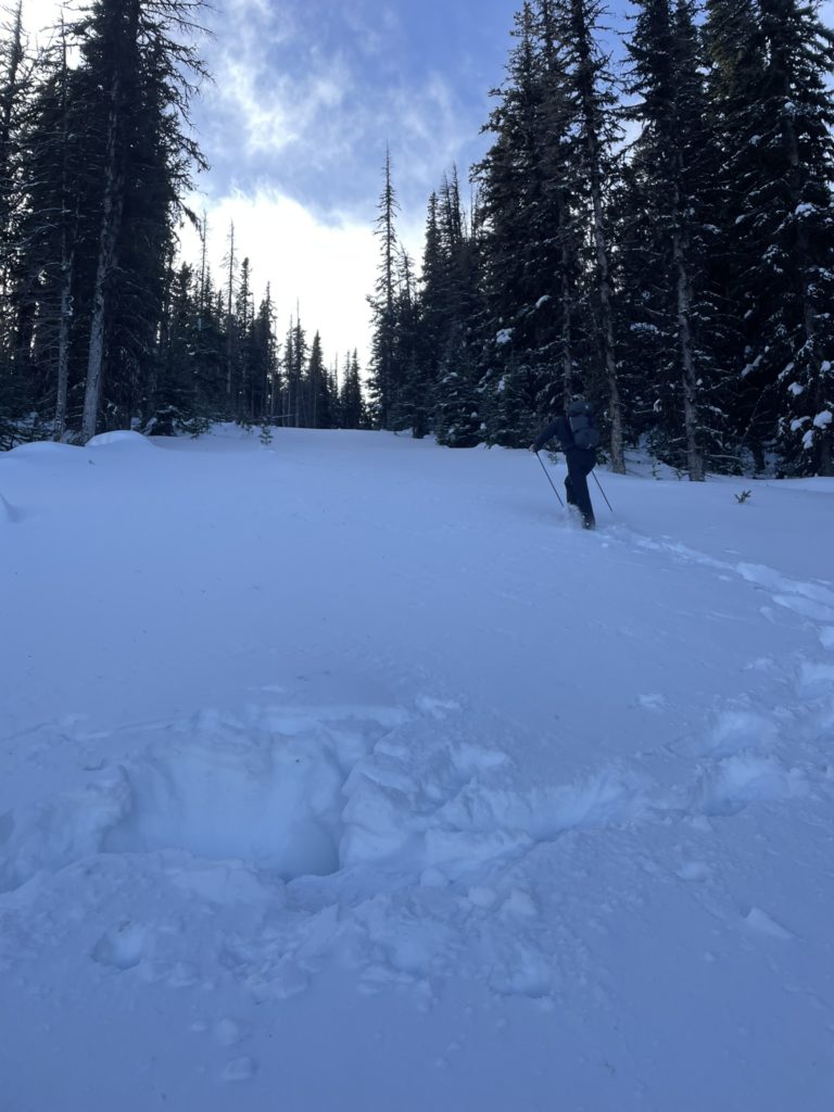
From our vantage we could see a very thin slow line and so opted to ditch the avalanche gear to save weight. We almost left the snow shoes behind too, but ultimately decided it would be good just in case. The first part of the route follows a long service road that Steven and Alex discovered for their trip. The initial kilometer was snow free and then it became icy enough to warrant micro spikes. Just before the last switch back at around 1100m it became deep enough to require snow shoes.
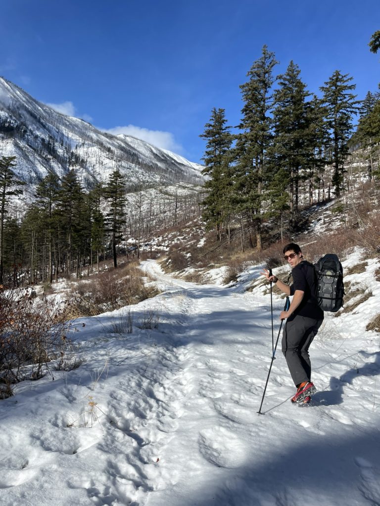
We swapped gear here and then continued up with Brayden setting a blistering trail breaking pace. Along this segment of road we could a snow capped summit of sorts that was in the general direction of Mount McLean. It appeared quite close and we naively assumed we’d be on top of it within 2 hours or so. As it turns out this was just a minor bump before the true summit further beyond and our journey was only just beginning.
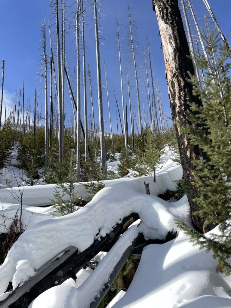
The road tapered off at around 1400m mark, where it was washed out, but reappeared for another 60m beyond that. However, the final section descended down hill, so we opted to side hill through the cut block to reach the drainage system that Steven and Alex followed. From here the trail breaking become much more arduous with lots of deep unconsolidated snow and variable punch-through-every-third-step type of crust.
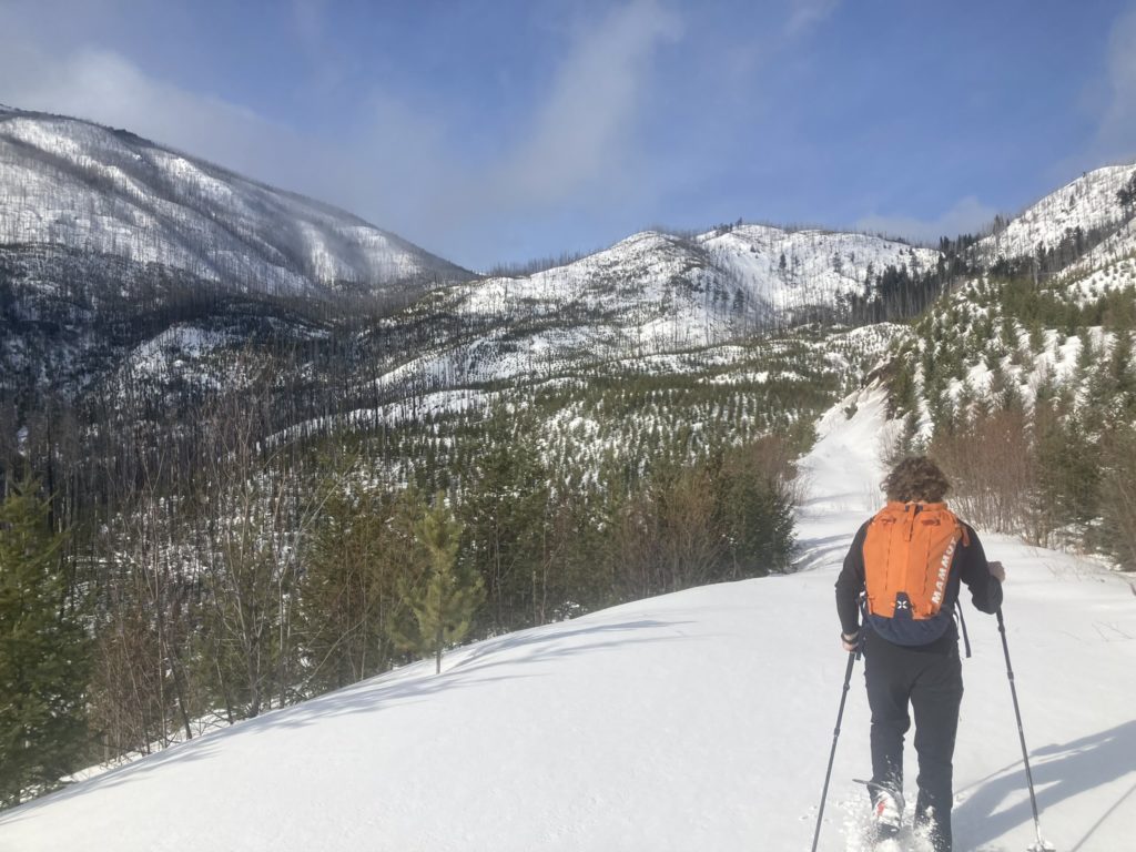
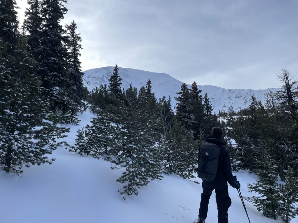
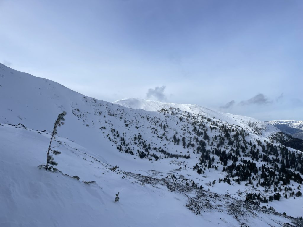
We continued ascending through the forest, trending north towards a moderate forested rib that would take us below the summit point. It was at this point, I checked my watch and realized we still had almost 800m of elevation to go. Clearly the summit we thought we saw was not the real summit. I was getting physically exhausted from the trail breaking conditions, but thankfully Brayden was firing on all cylinders and readily took over my slack.
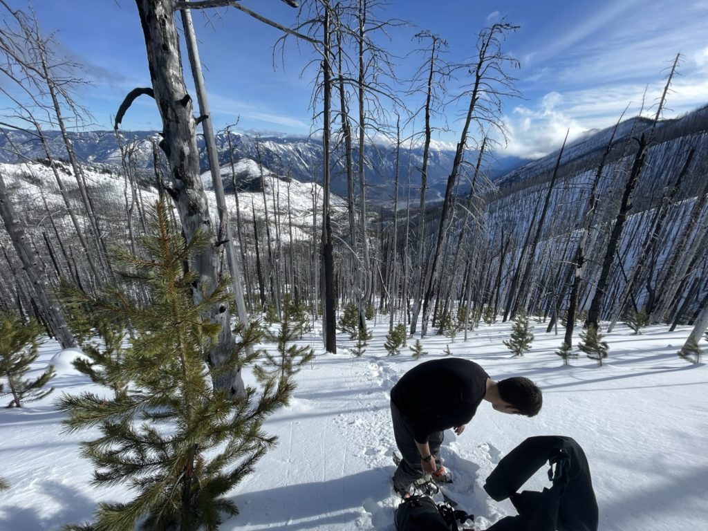
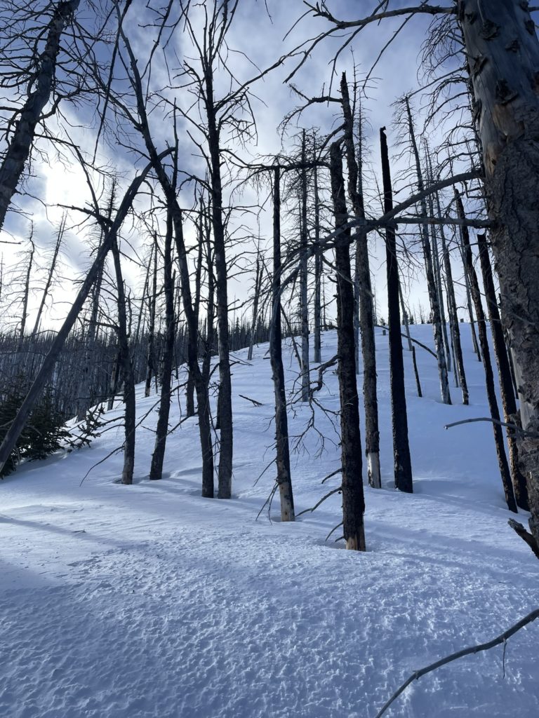
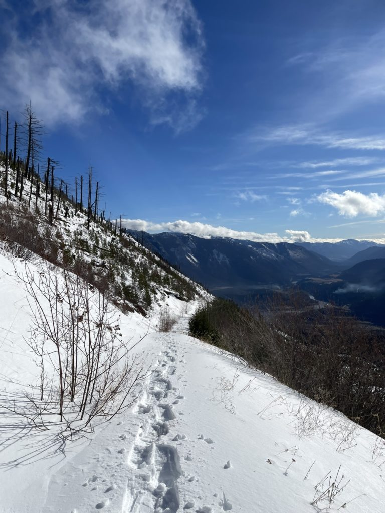
At around 1860m we landed upon another section of clear cut road and opted to follow that up for a ways. We were forced to turn off it around 2030m in order to reach the summit ridge. As the trees thinned out we could feel the temperature dropping and the wind was nipping at the forest’s edge. The final push to the summit was undoubtedly going to be a cold one.
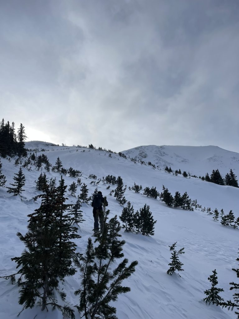
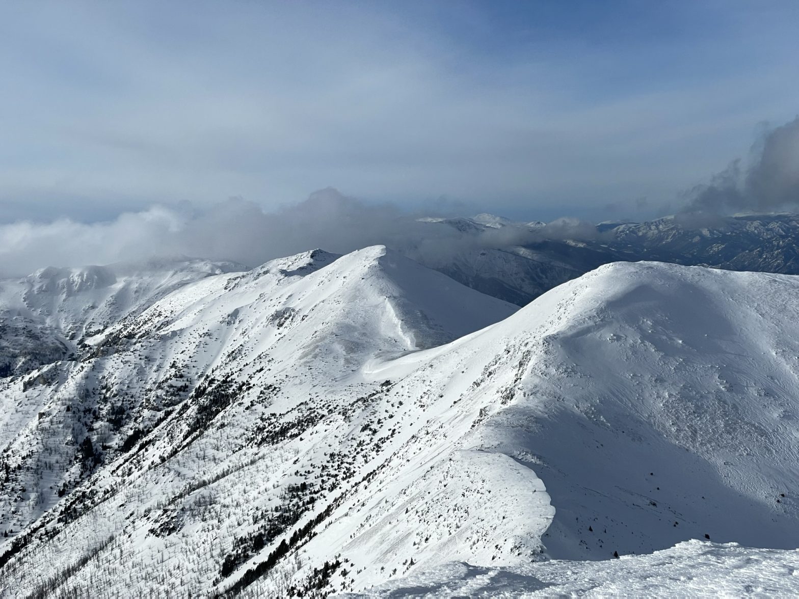
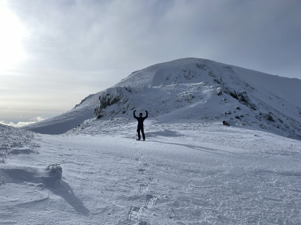
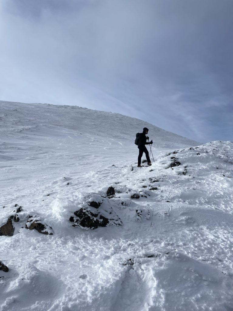
Brayden continued leading us out above tree line and we agreed on taking a wind scoured rocky ridge to avoid any wind loaded slopes around. The ridge made for fast travel and the trail breaking was now over. Once we gained the top of the ridge we had to make a small descent to regain the final summit ridge on the eastern side.
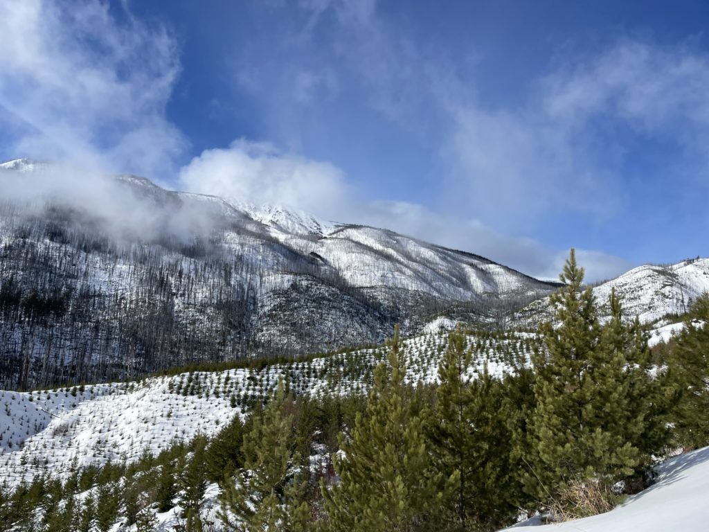
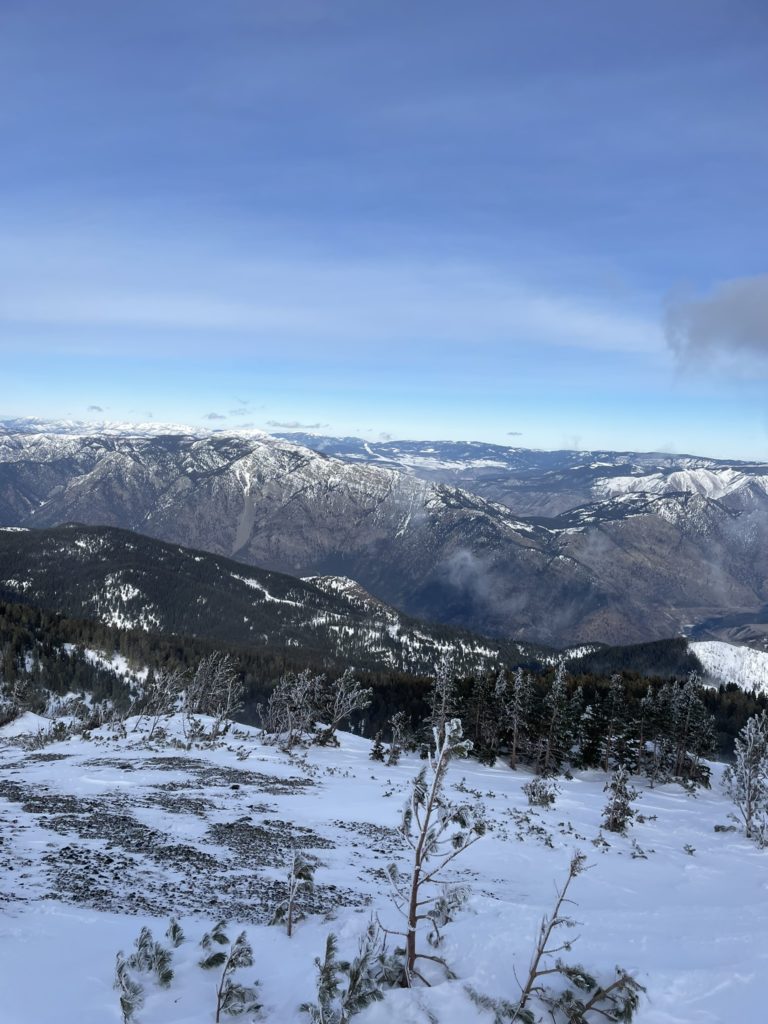
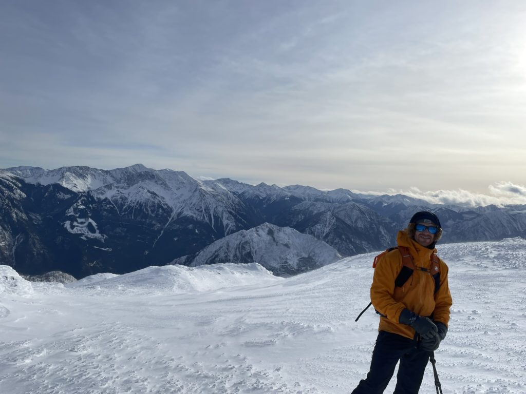
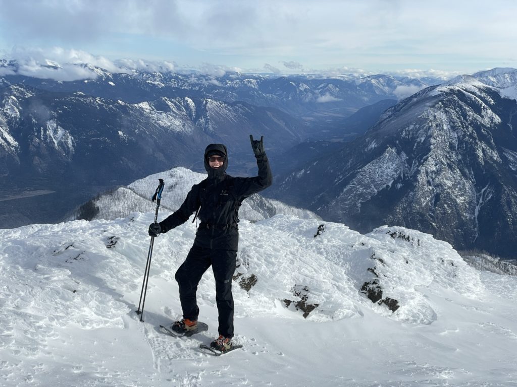
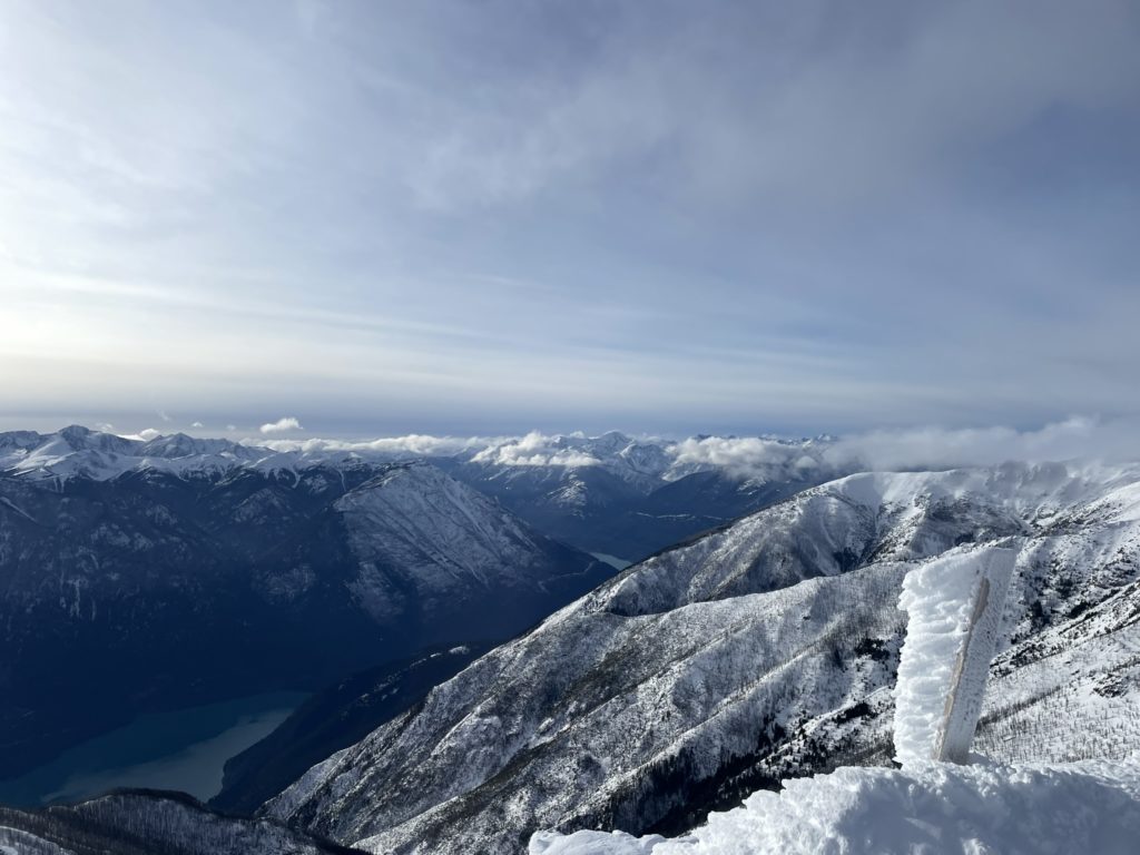
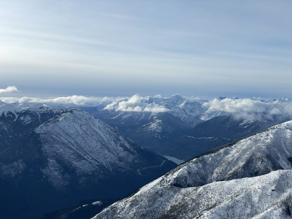
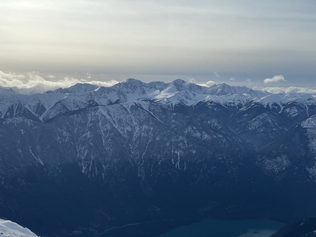
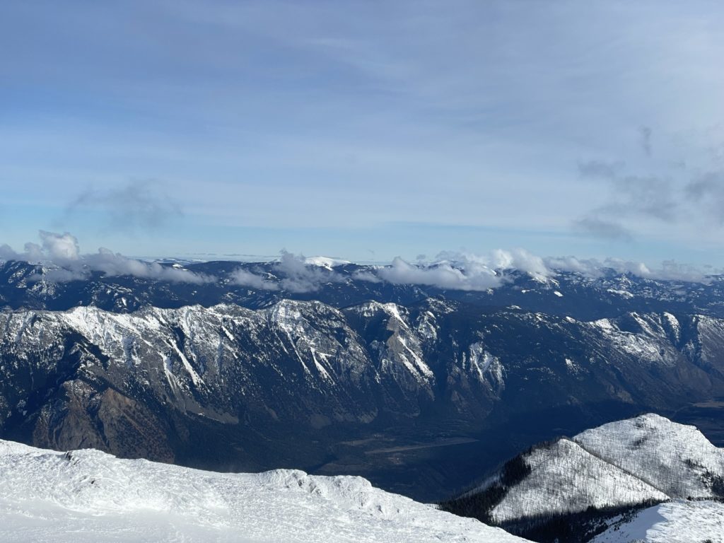
From there it was a straightforward ascent to the top on more wind scoured terrain. We reached the summit just before 3PM with a full 360 view of the area. All of the “big names” were visible including Whitecap, Seton and Mount Brew. Despite how cold it was, we actually hung out for 20 minutes or so to enjoy it all and then finally began our descent.

Once we were back in the tree line I ditched some layers and then it was fun fast plunging all the way down the forest. We reached the service road again in no time and then made the long plod back to the car on autopilot. Headlamps came out for the last 20 minutes, so the timing worked out perfectly.
I’m always stoked for days like this where I get to push my limits with good company and good views. I think we both would have appreciated having a bigger team to swap out trail breaking leads, but thanks to Brayden we managed to make it work just fine as two. Definitely a worthwhile summit for the views, but save it for when you’re not craving that technical challenge.