Elevation Gain: 1,727m
Distance: 16.57km
Total Time: 7 hours 40 minutes
Date: February 24th, 2024
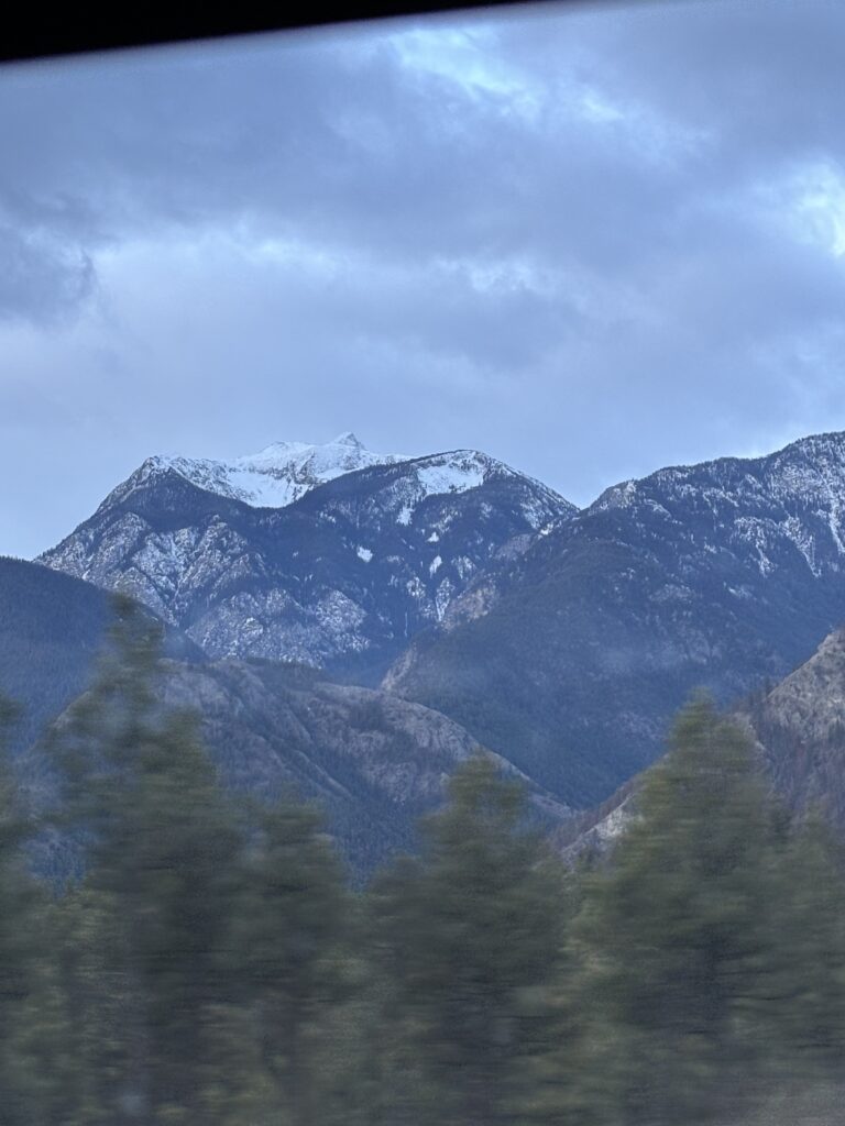
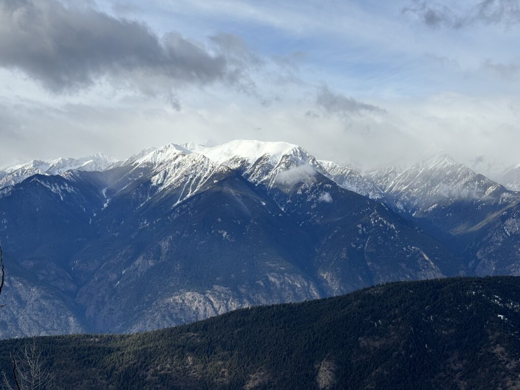
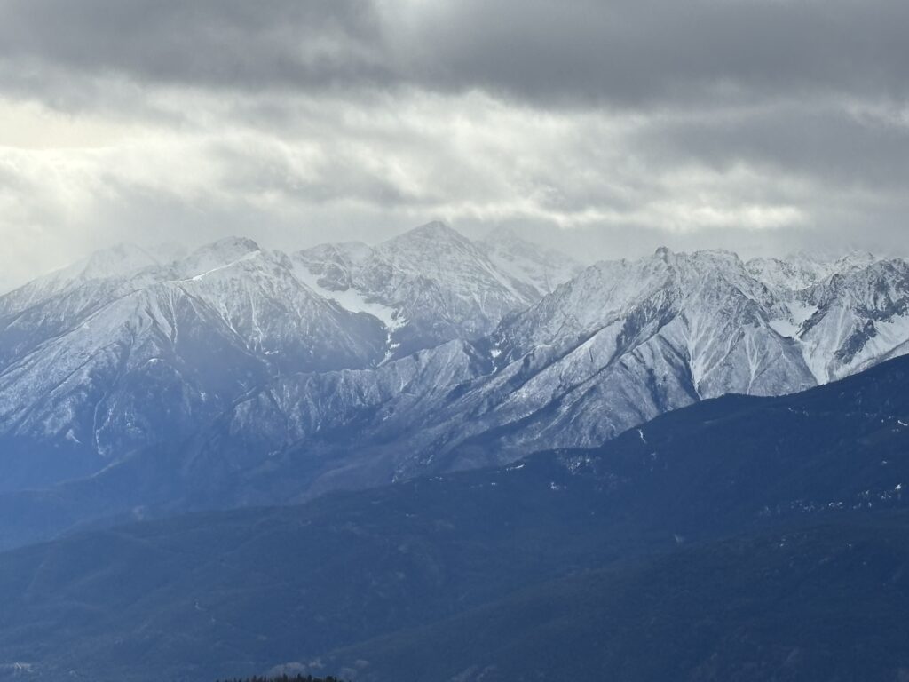
Blustry Mountain is the tallest mountain in the small Clear Range East of Lillooet. It’s not exciting from a mountaineering perspective, but it resides in the rain shadow and does offer some unique views you won’t see further west. For those reasons, it was a great pick for Alex, Matt and myself when a weekend of high avalanche danger marked the end of a long stable February. We were all keen to get out anywhere, but bad weather and worse snow conditions slimmed things down to the North and eventually Blustry.
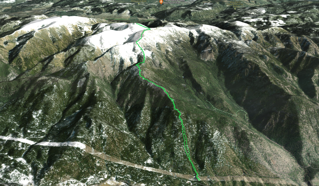
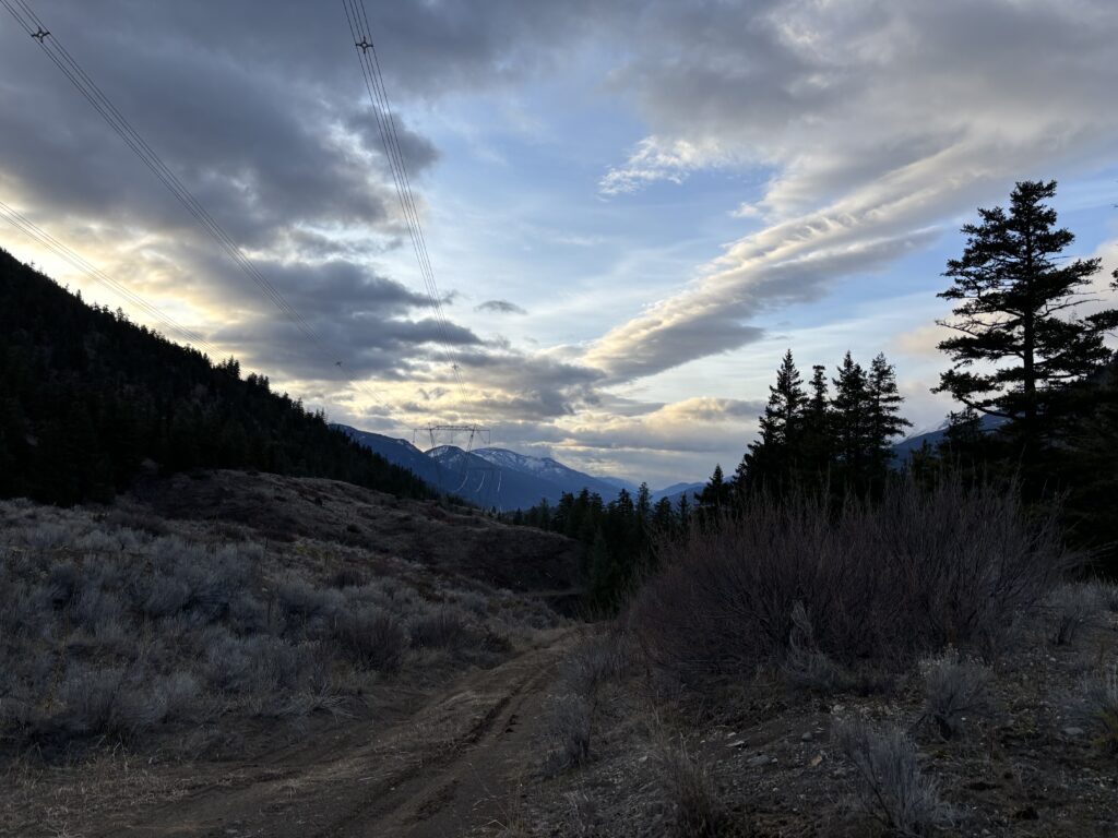
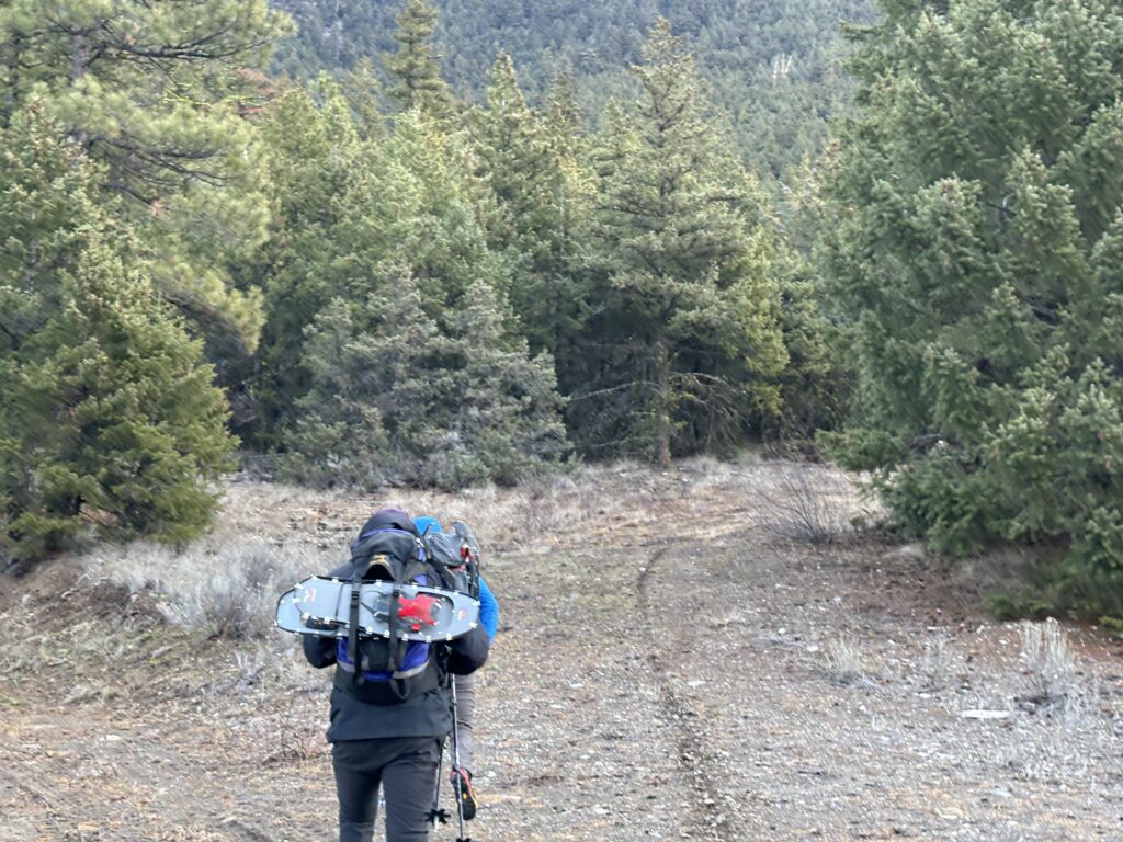
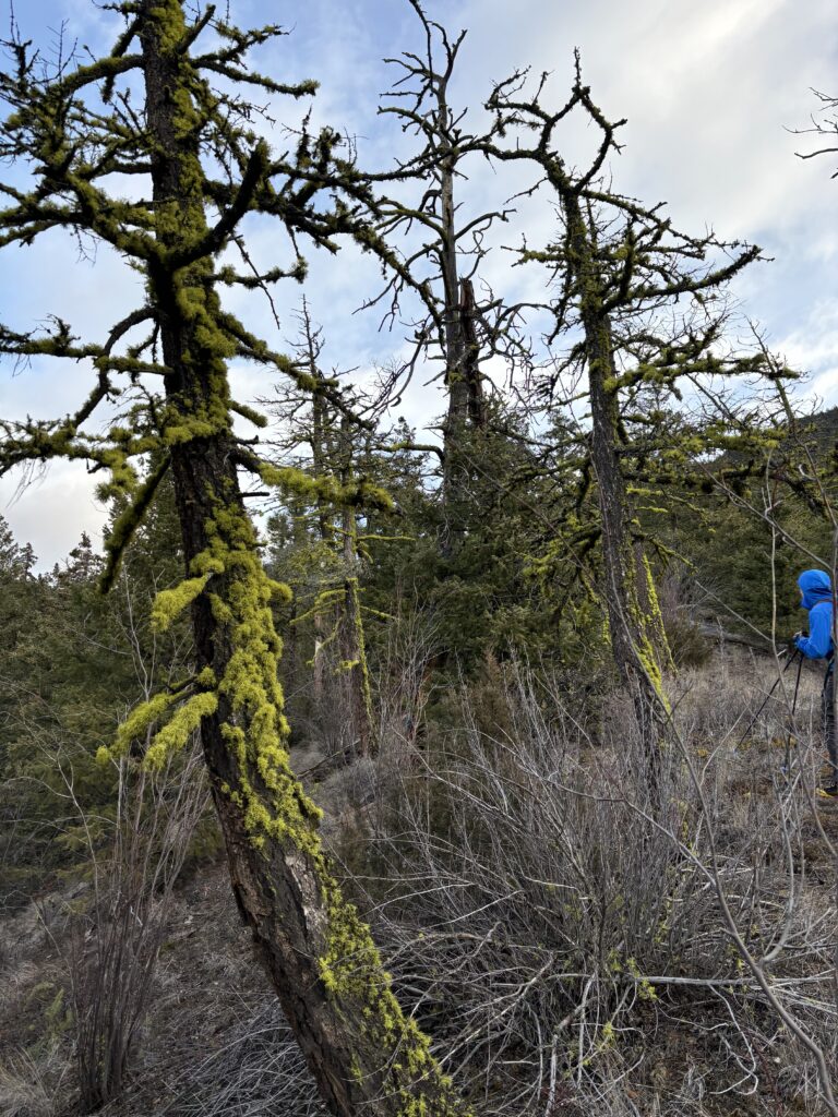
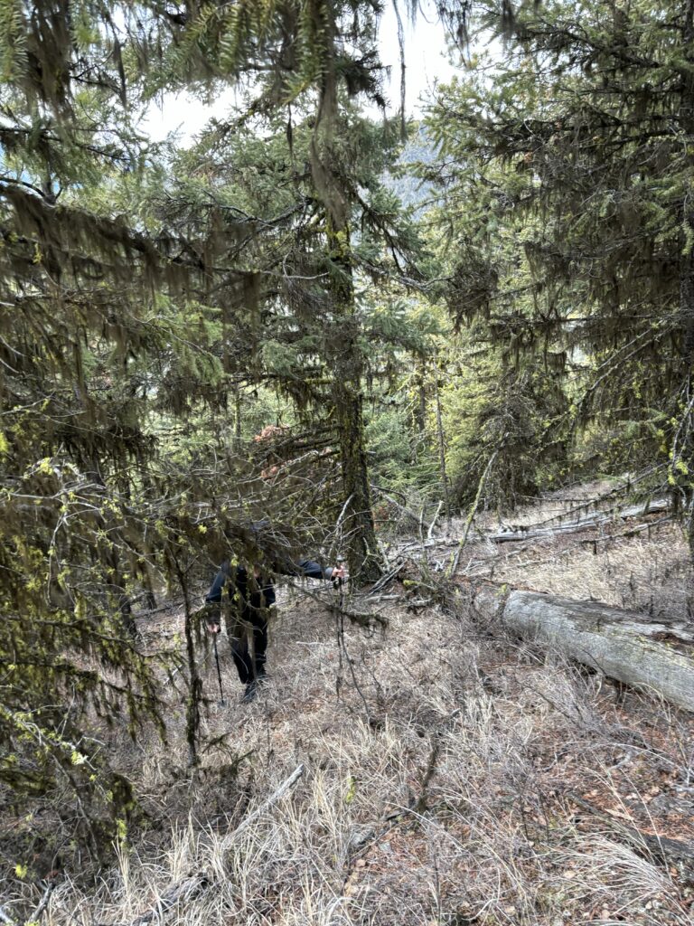
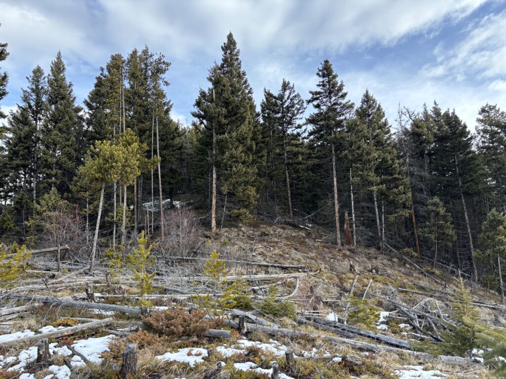
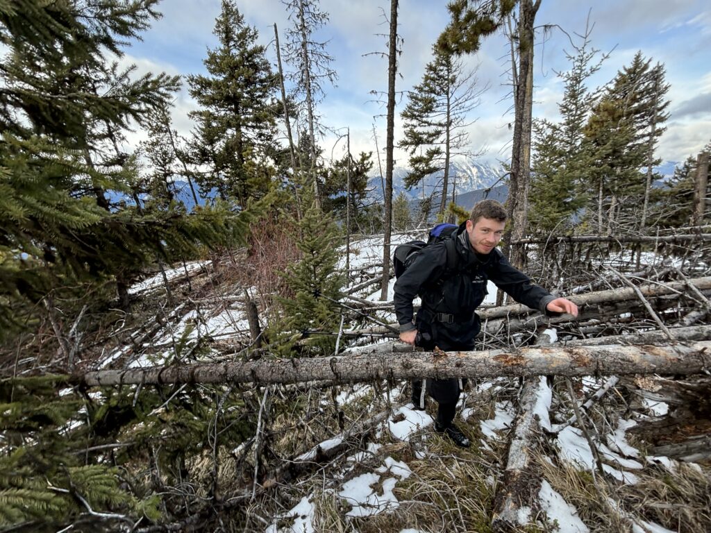
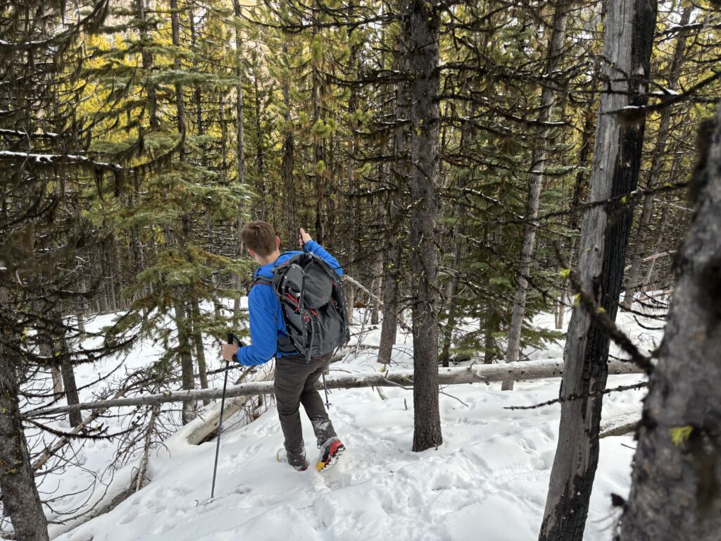
We left Vancouver quite, early perhaps around 4am and reached our parking spot underneath some power lines in Fountain Valley some 3.5 hours later. There’s no trail to the top, but numerous parties had been up in the past few years and reported minimal bushwhacking. With that, we set off ascending up the broad forested west face to a ridge at about 1540m. Here, the trees opened up a touch thanks to some clear cutting and we walked through deadfall and open ridge until about 1900m. The clear cutting gave way to a dense cluster of trees that proved tedious to route find through, but we eventually exited about 500m later.
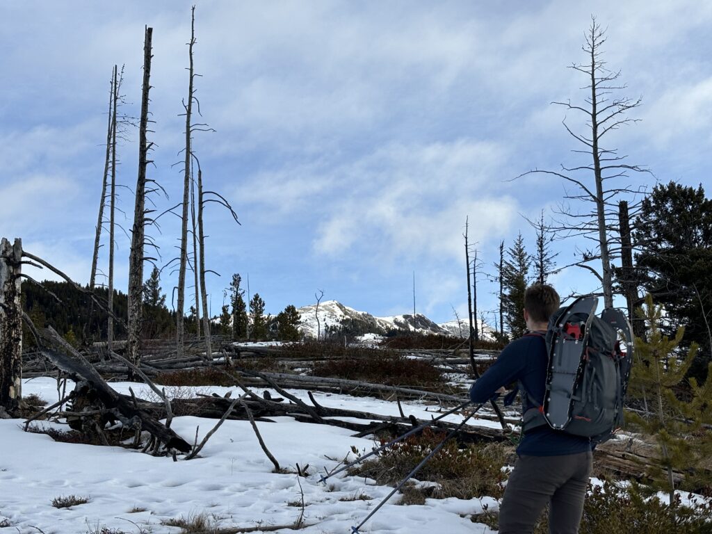
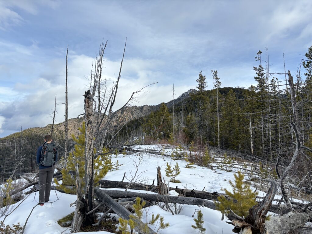
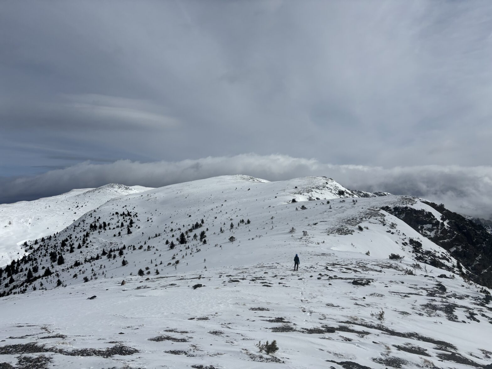
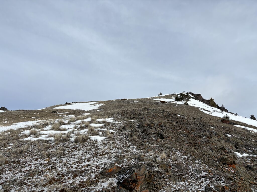
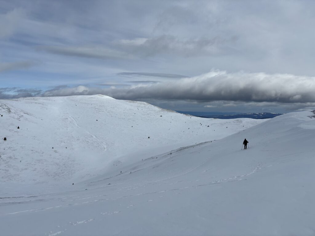
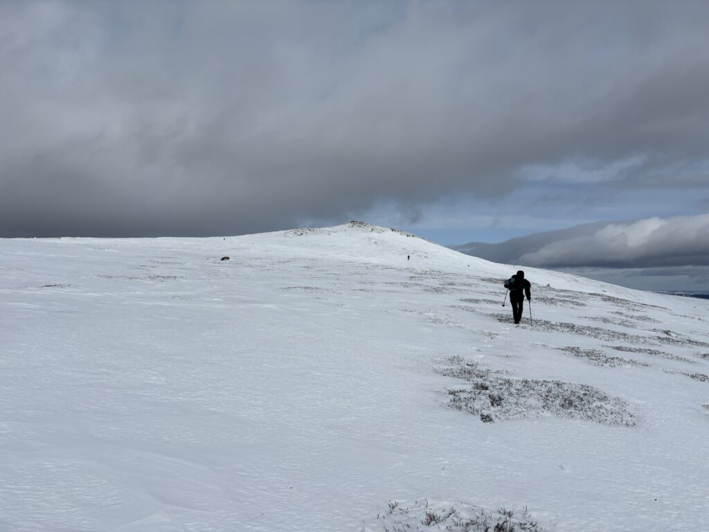
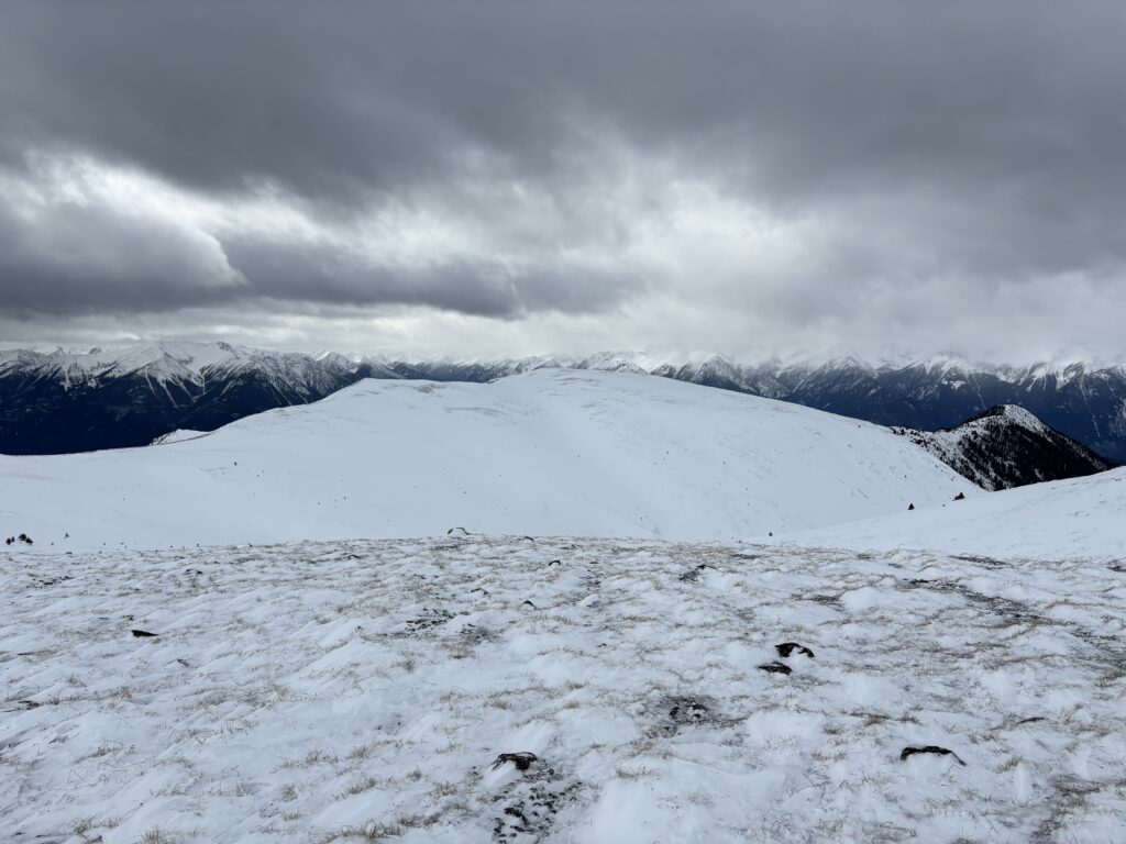
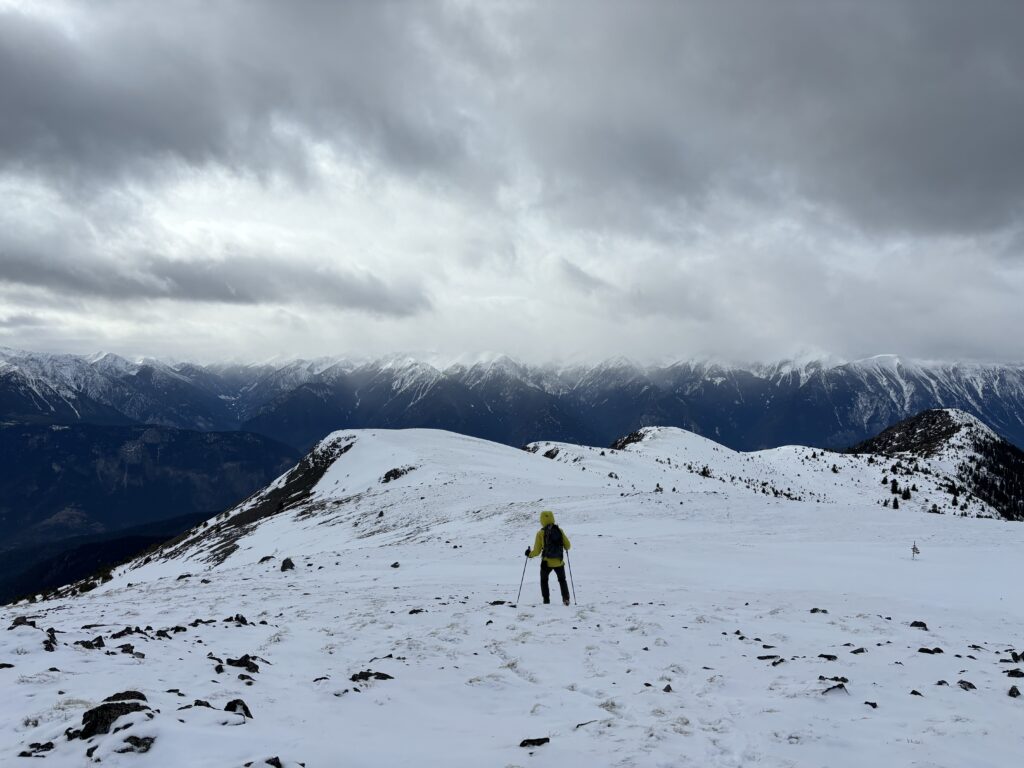
Now fully out of the trees, we hiked up onto the wide open ridge system leading to the summit. The route was quite foreshortened, with the summit seemingly a short ways off, but in reality a full 3km away. Nonetheless, it was a really enjoyable walk along the expansive ridge system. I couldn’t help but enjoy the fact that we had the whole place to ourselves, free to roam however we wanted. That’s a truly special quality about BC, in my opinion.


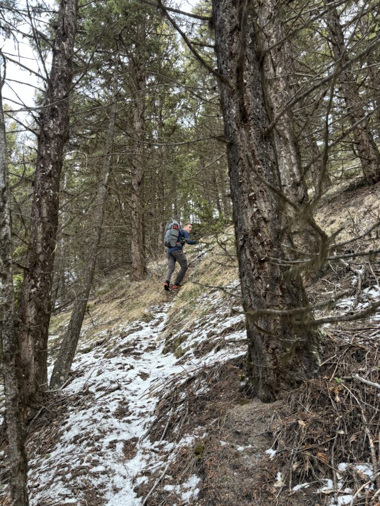
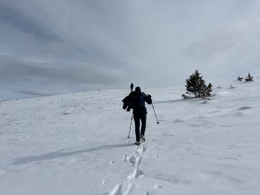
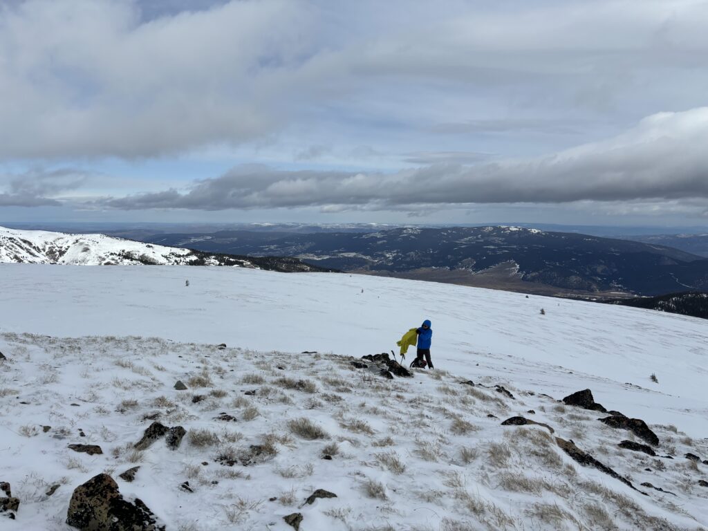
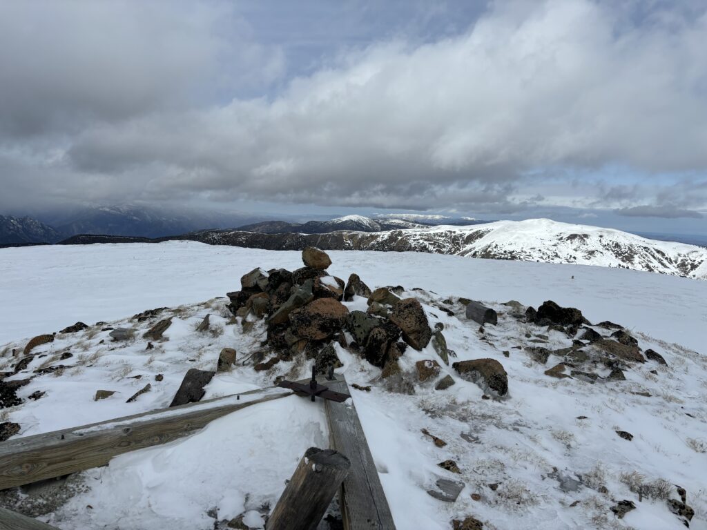
Alex lead the plod along the ridge, sticking to the tame North side. We hit a few deep pockets of wind deposited snow but otherwise, there was never any need for snow shoes. Before long we reached the summit, but the wind (surprise) had us turning around only 10 minutes later. We followed our post holes back up to the ridge and then made a speedy descent through the forest on soft scree like dirt all the way back to the car.

It was a simple, but enjoyable outing to say the least!