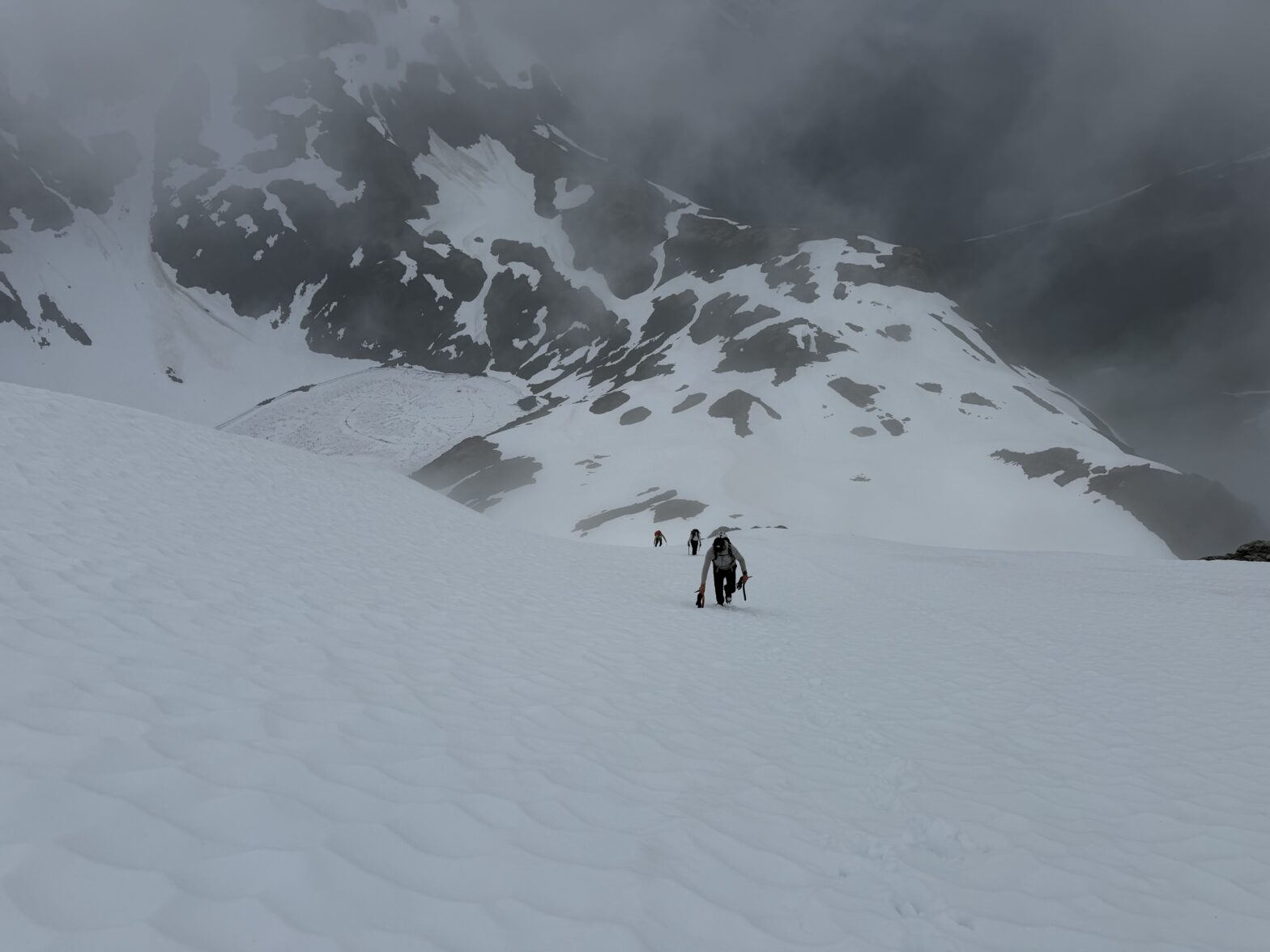
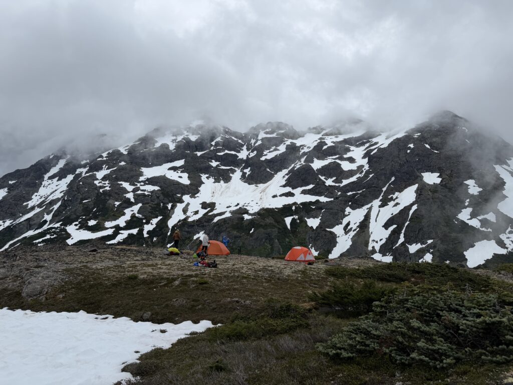
With one night in the cirque East of Creswell behind us, another window of weather was about to appear. We’d still have some intermittent rain, but at least it wouldn’t be a down pour. We mulled over staying in camp for one more day, but ultimately decided it’s better to make some progress. Our goal for the afternoon was to get over the Kalone-Creswell pass and setup camp on the other side.
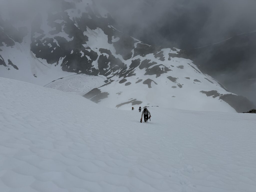
We hit the dusty trail mid afternoon and took a lovely low angle snow gully up to the base of a steep slope below the pass. Burdened with heavy packs, we slogged our way up the steep soft snow. I was thankful for the snow at all though, as I’m not sure this section would go without it. It was a relief to crest over the top and we stopped for a snack break to recoup our energy.
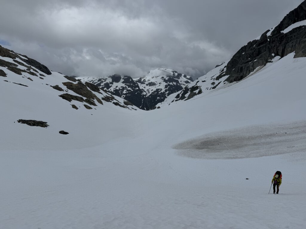
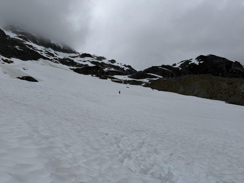
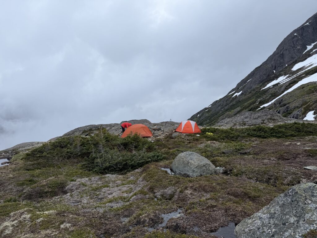
From there it was all downhill as they say. We set up camp on a perfect bench at about 1500m over looking the headwaters of Swallop Creek. The rain didn’t let up the next day, but it was a welcome rest day. On July 3rd, we awoke to patches of blue! A sign to get on the move. This next section promised to be the last of the bushwhacking for a long ways. A promise that was broken only a few days later unfortunately.
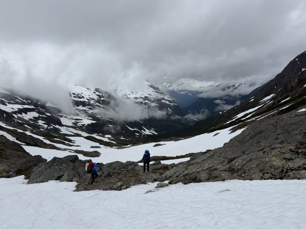
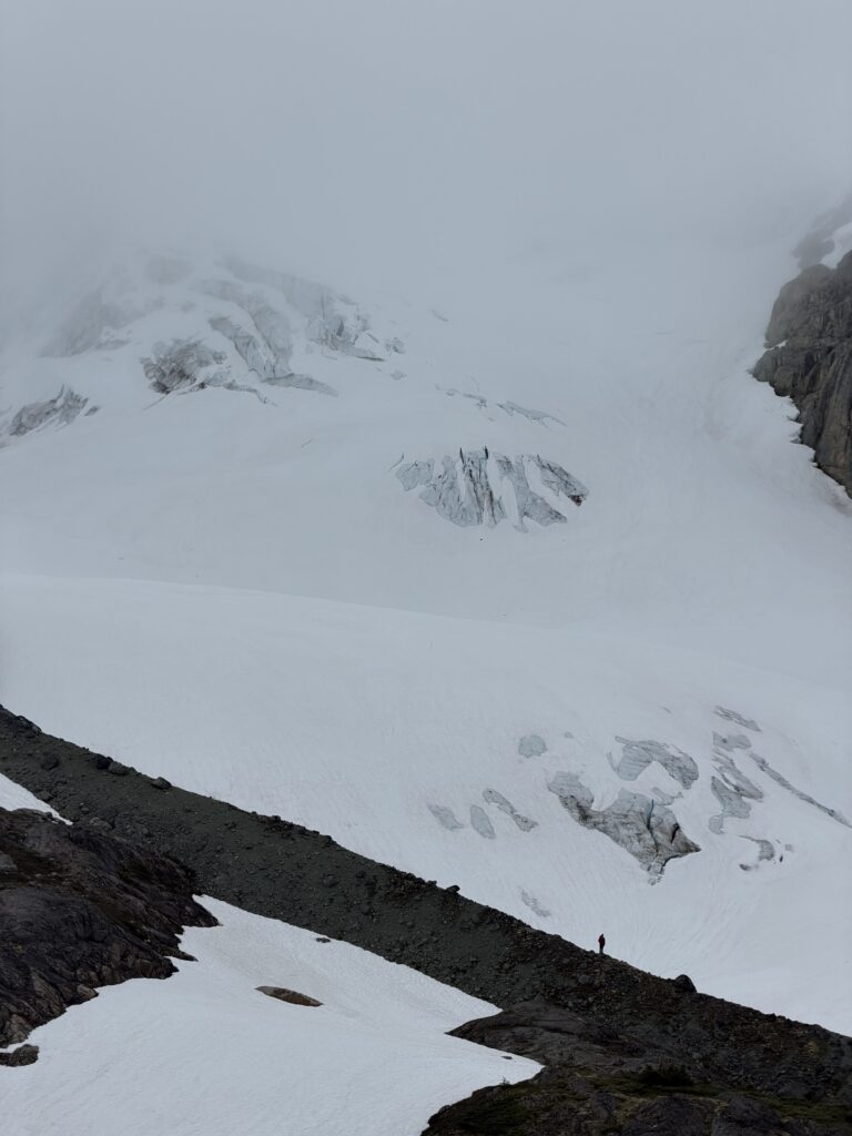
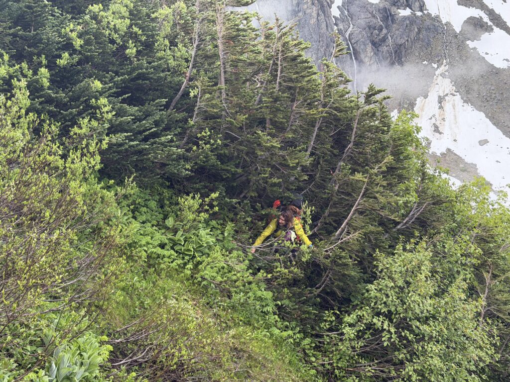
Staying high and traversing slopes worked well for us last time, even through a very green looking slide path. We decided to employ this strategy for a second time by sticking at about 1500m across the western aspect of Kalone to link up with a bench system about 2km from camp. What ensued was a one hour bush melee through the thickest bush I’ve yet experienced on the coast. Thank goodness it was short lived.
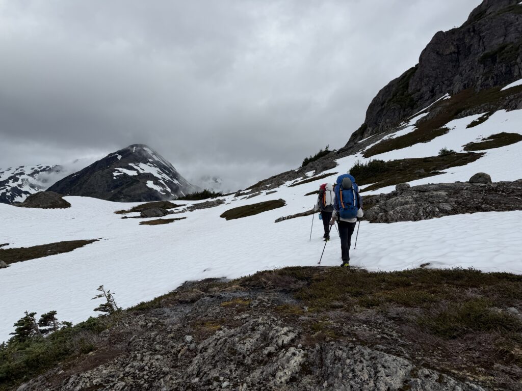
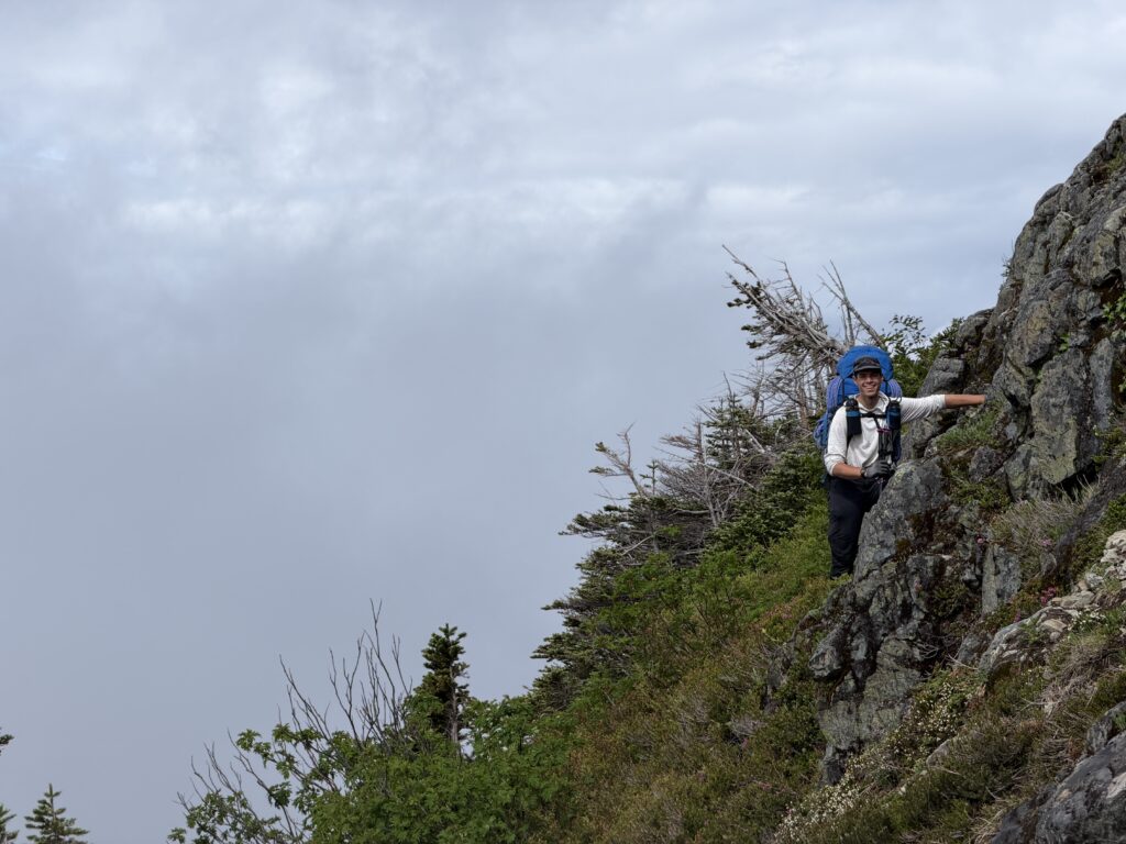
Once we were on the bench system we could coast for awhile and we eventually find our way to the col between Peak 1890 and Kalone. Again the rain was threatening us, but we decided we should try for the high camp between 1890 and “Swallop Peak” to the North. A steep slope with a band of rotten rock stood between us and that goal though. We spotted what looked like a weakness in the band further north and dropped down into the gully ahead. From there we scrambled up the band and found a 4th class loose chimney to gain easy scree slopes above.
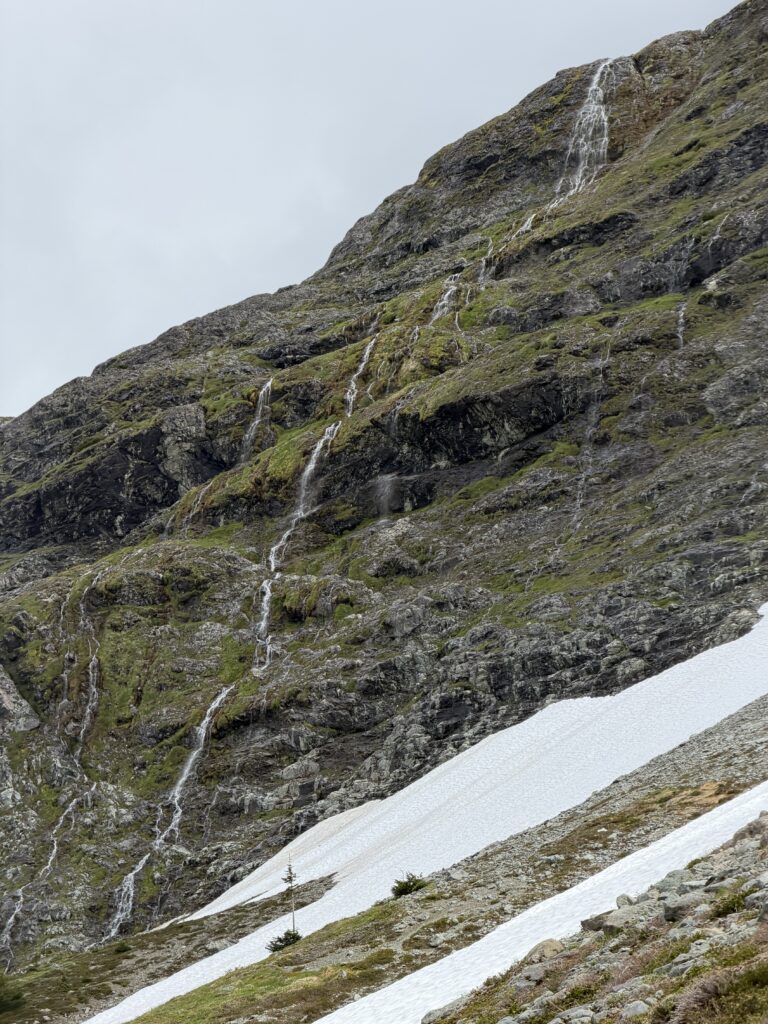
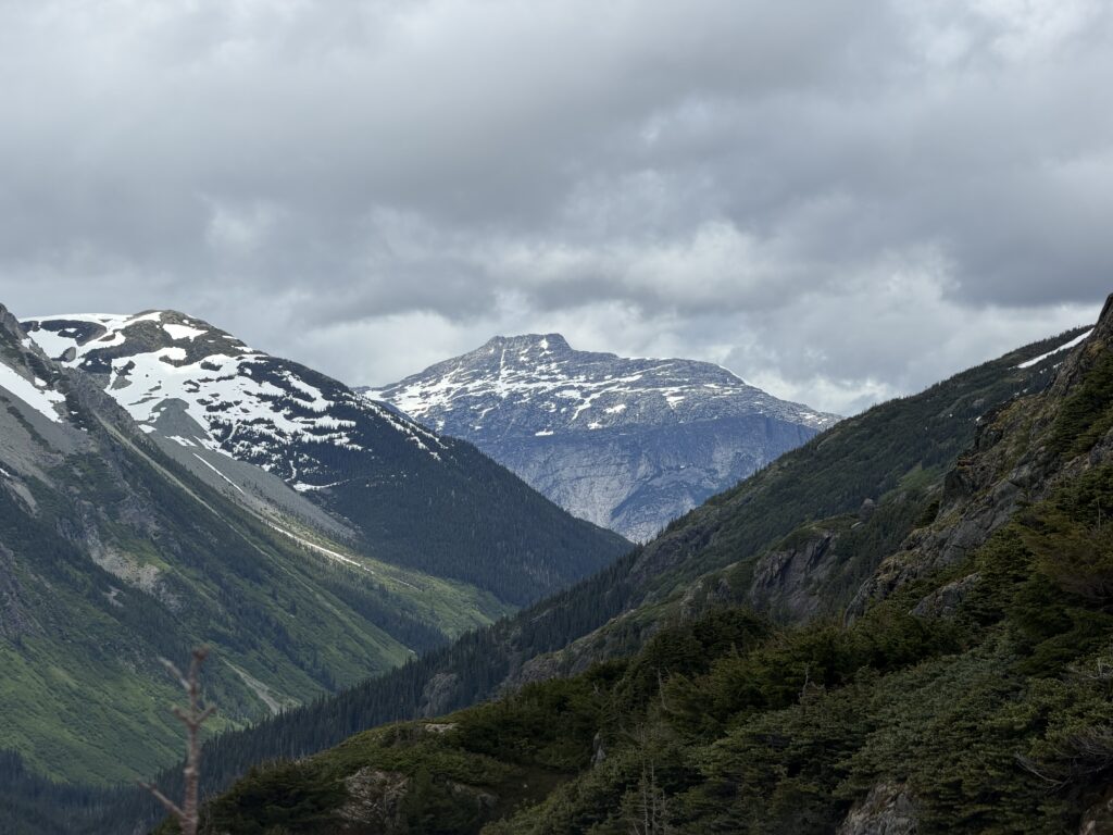
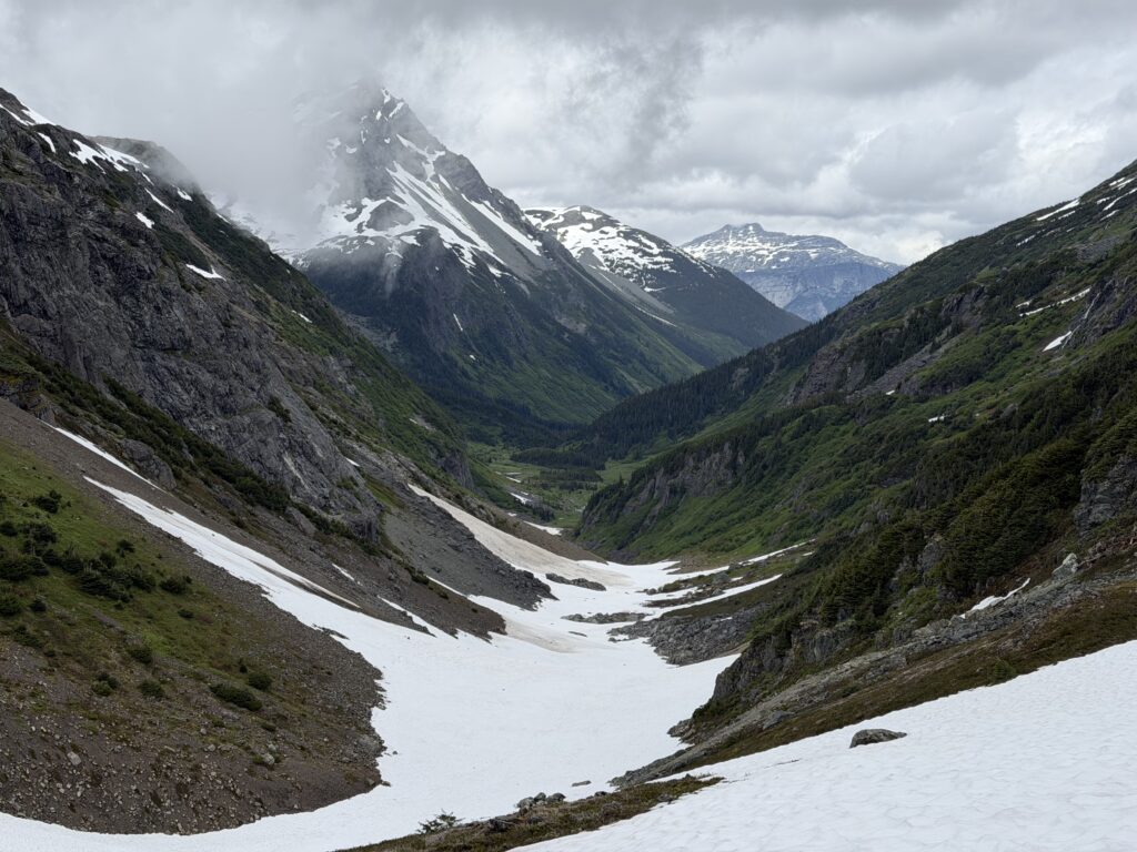
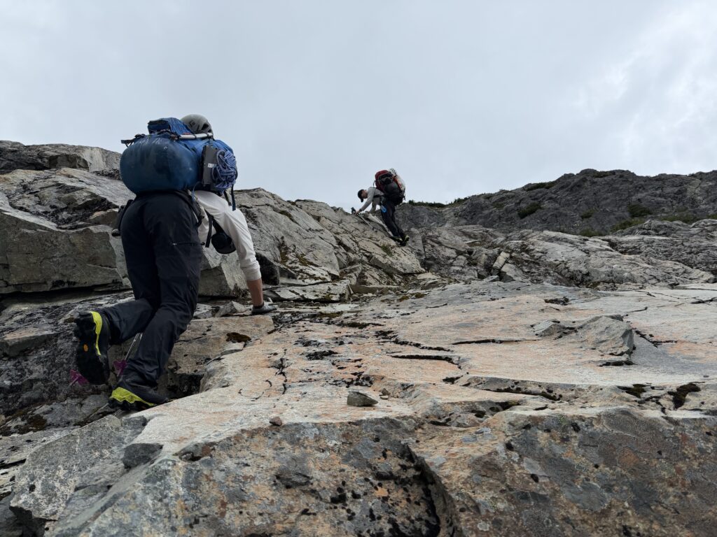
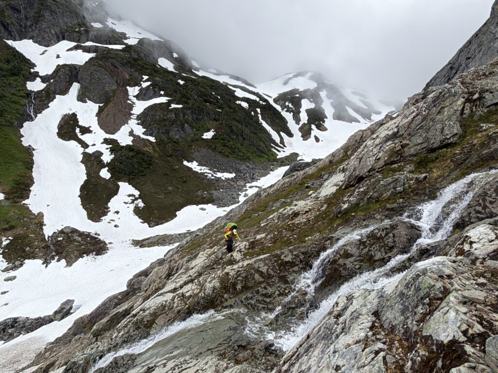
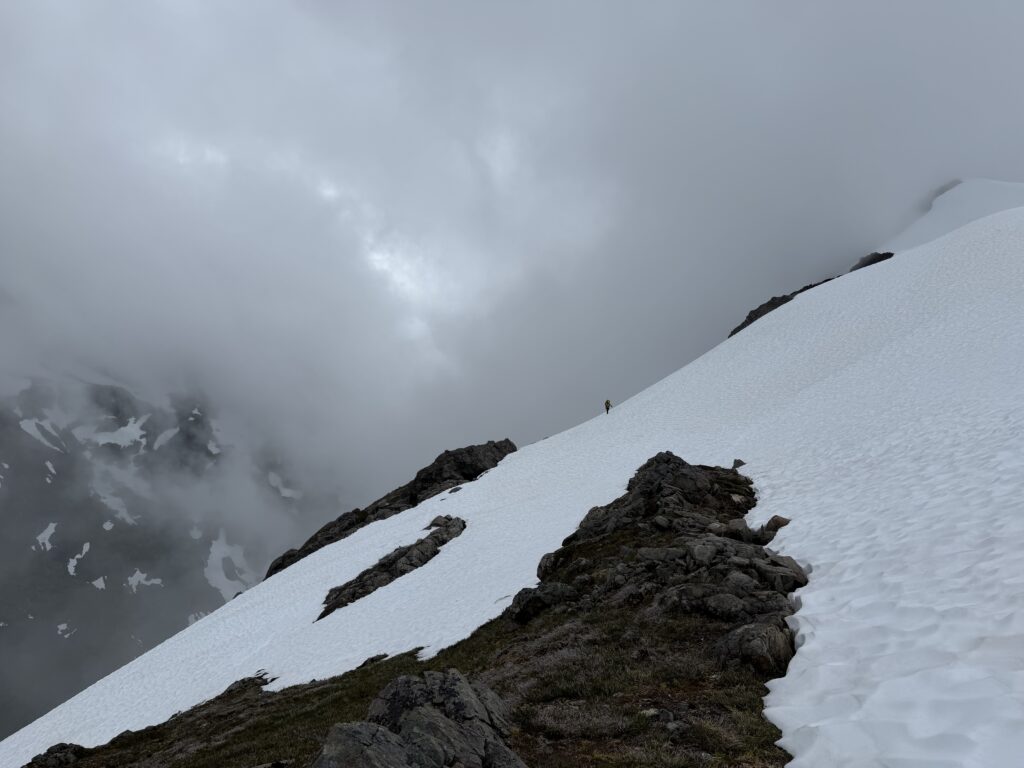
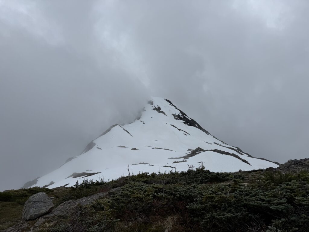
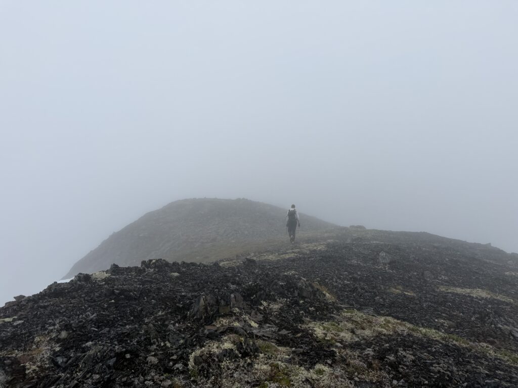
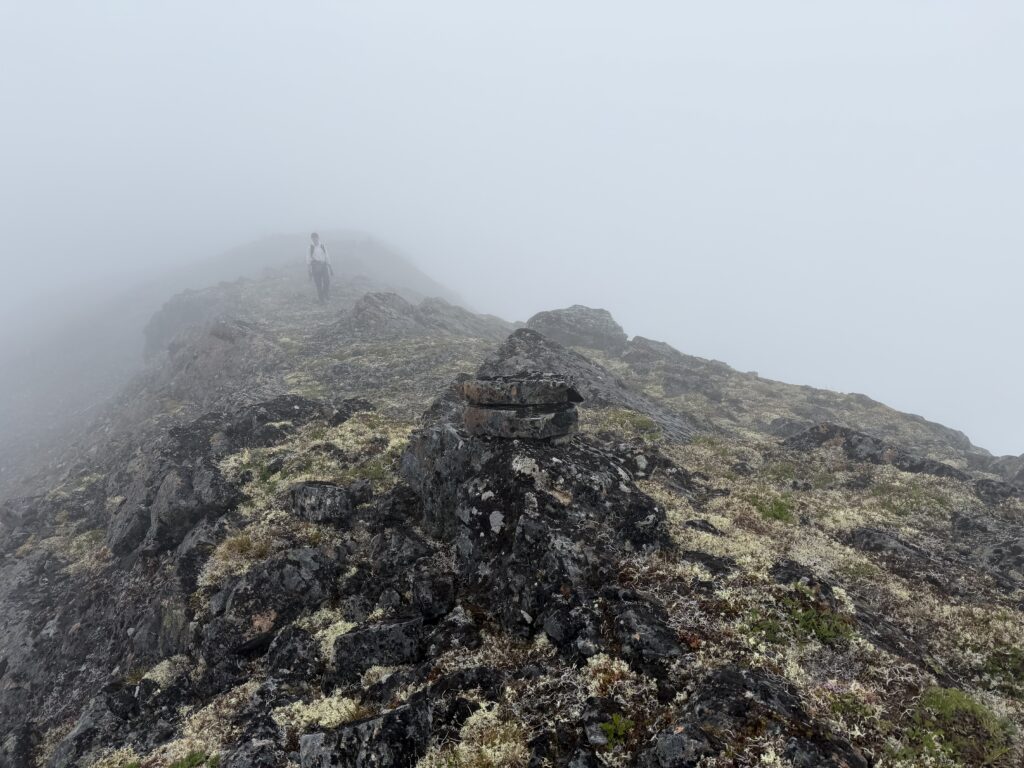
One last push got us up to the col where another five star camp site awaited us. We decided not to risk it and settled in for the evening. Rain continued the next day, but by 4pm there was starting to be a clearing. We decided to take advantage and make a quick romp to the summit. From camp we climbed ~350m of snow up to the dry ridge above. There perched on the highest boulder was another cairn. A minimalist 3 stone cairn, but unmistakably a cairn at that. I knew there was a distinct possibility that the GSC party in 67′ had been up here, but it was a bit disheartening to have reached this deep into the backcountry and still find climbed summits.
Back at camp I read and re-read all accounts of the area that I had on my e-book. There on page 42 of the 1965 Canadian Alpine Journal, George Whitmore had written:
Later in the season, there was further activity north of Bella Coola. Dick and Glenn reached
a summit between the two final forks of Jump Across Creek. Also, two members of a Geological
Survey party climbed the west ridge of Index Crag, as well as several minor summits in the area.
And to the south, Monarch was climbed for the fourth time
It seems that Monty Lasserre and Jim Buckingham had potentially been up there in 1964. Of course on return I’d find that the GSC had been all over this area in the 2000’s as well, but there was no affiliation or affinity to the mountaineering scene and thus no record. Through some GSC maps I found out that a Dr. Jim Haggart had been in the area and determined through reach out that he had also been up to the summit during his survey work.
This was all in the back of my mind as we were getting ready to press further into our traverse. The next peak coming up was “Swallop Peak”. We made our way there on the following day under the first full day of sun in some time!