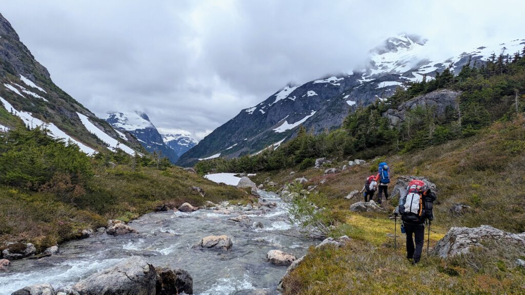
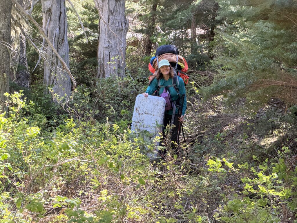
Day 3 of our traverse was under way. Our first planned moving day. We had started with 85lb packs and we weren’t a far cry from the original weight after only 2 days of food were consumed. Now the goal was to lug those heavy packs all the way to the western end of Talcheazoone Lakes. After that we’d be within striking distance of much less explored terrain. We knew from the past two days in the area that the bush wasn’t great, but not far beyond our camp were a series of meadows we could link up to reduce the burden. By some luck, it also hadn’t rained the past two days and we’d have dry conditions to bushwhack in. The first day had been a bit of a car wash, so this was a much improved situation.
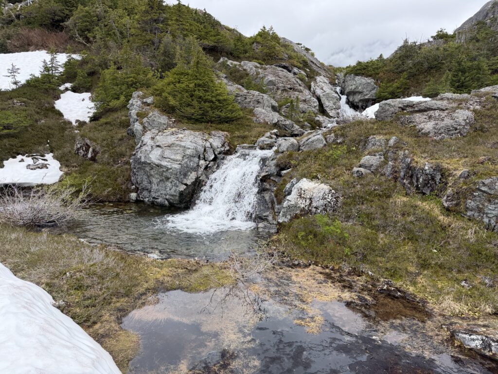
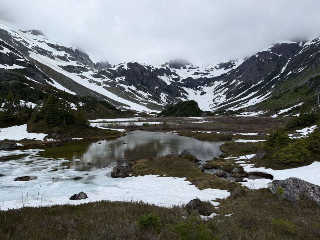
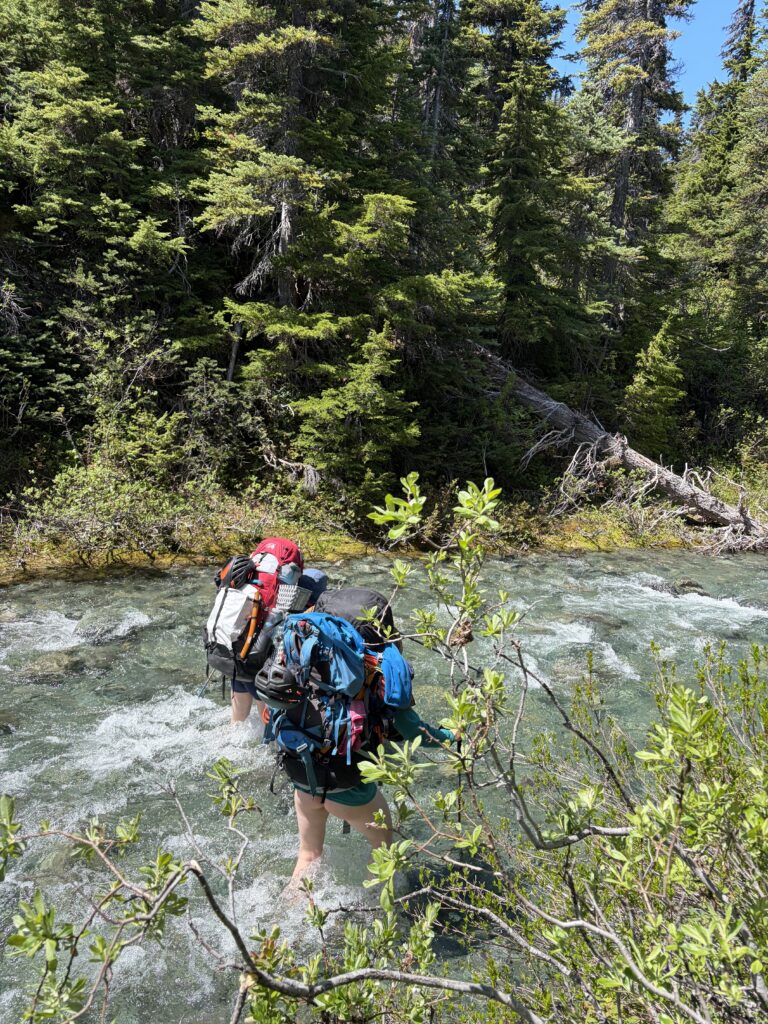
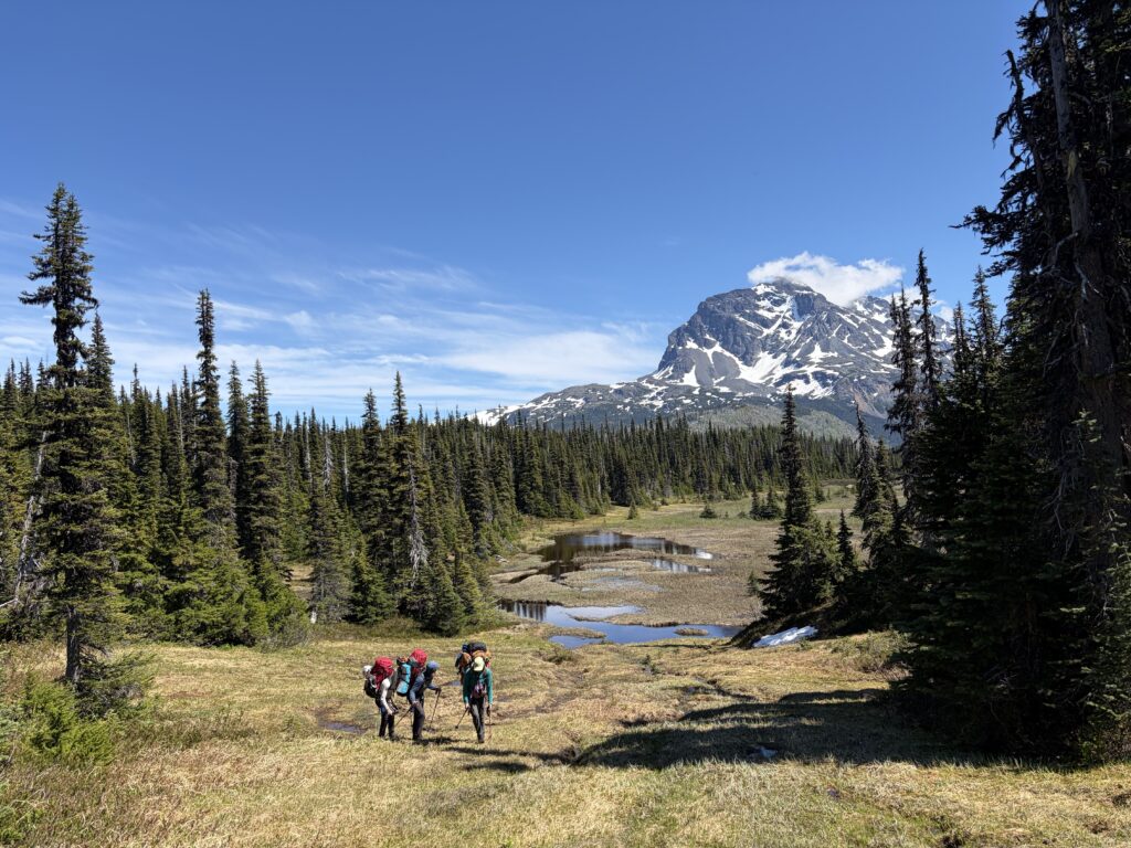
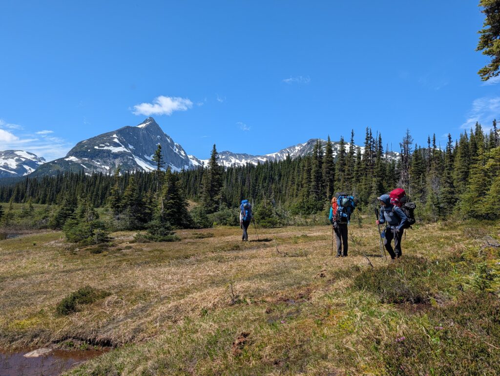
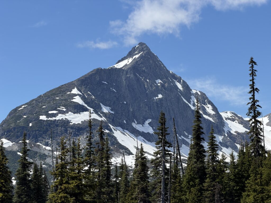
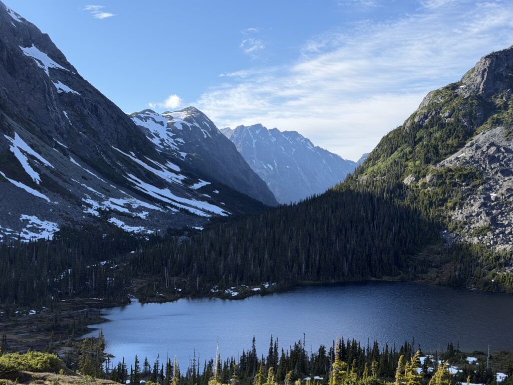
By 9:30am or so we were packed up and travelling under perfect sunny skies. Beautiful tarns and meadows framed Tzeetsaytsul to the south and we were starting to get views of Creswell and Preterition as well. There were a number of creeks to ford, but none were particularly challenging, save for some alder climbing to escape one steep embankment. The first of the two Talcheazoone lakes were reached at 5pm. Ahead we could see a nice flat bench system above the second lake and we made it our mission to call that home for the night.
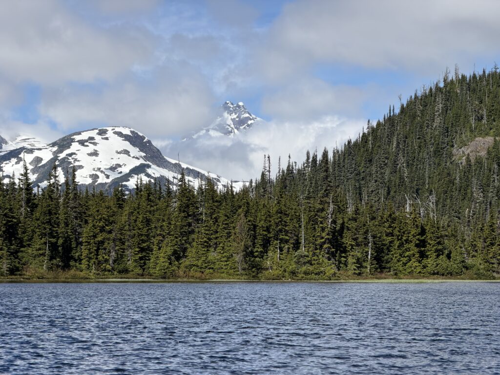
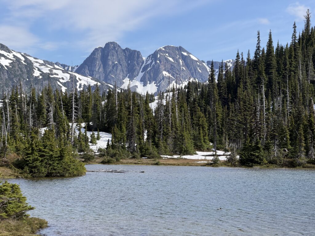
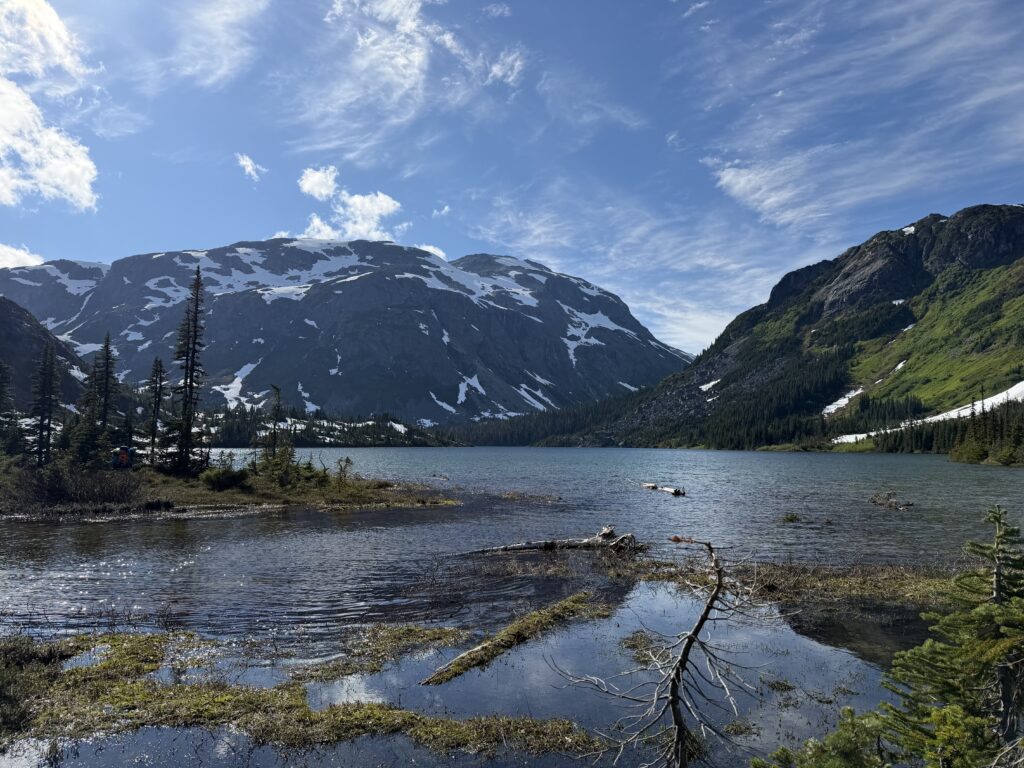
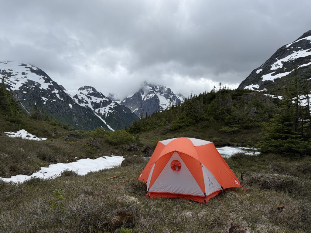
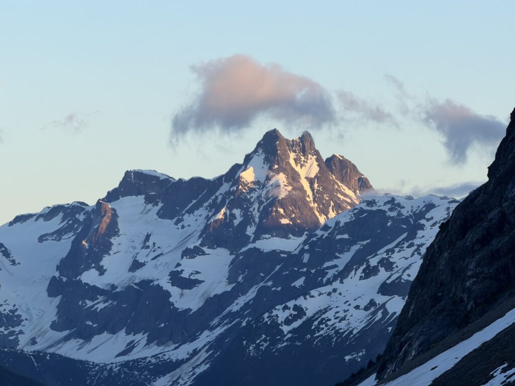
Snow aided us around the avalanche paths on the south side and we arrived at the bench not long after. Unfortunately, that same snow made for boggy conditions anywhere a tent could fit. Tired and sore, we reluctantly loaded our bags on back again and trudged up the slopes in search of something; anything. Still no dry spots appeared. Brayden valiantly, ditched his bag and ran up and down the rolls and hills to find something. He came back 15 minutes later to report a reasonable spot at last. We made one last haul and reached a perfect spot indeed. Enough flat room for two tents and stupendous views towards the Salloomt valley and north towards Preterition.
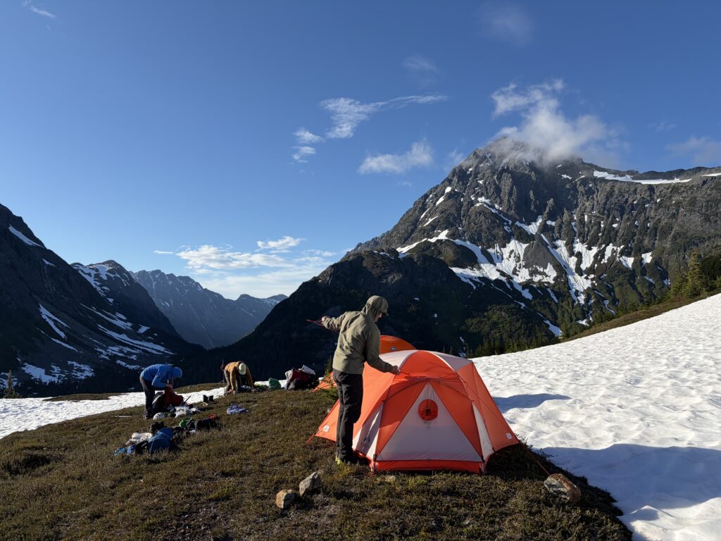
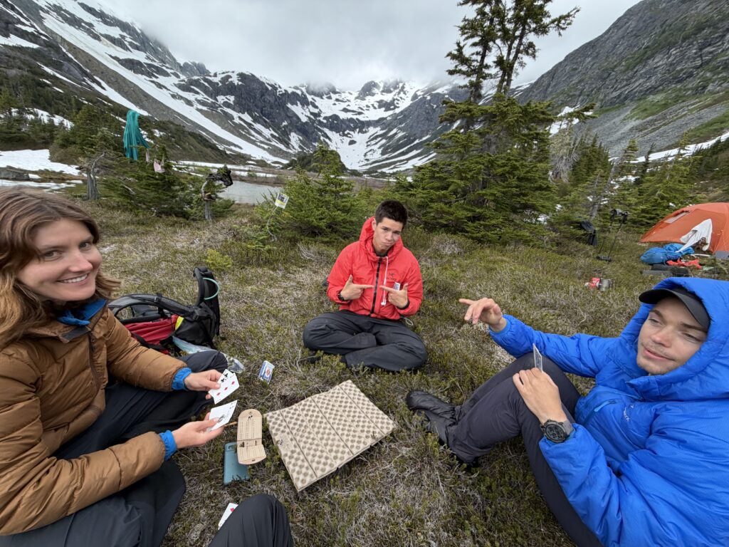
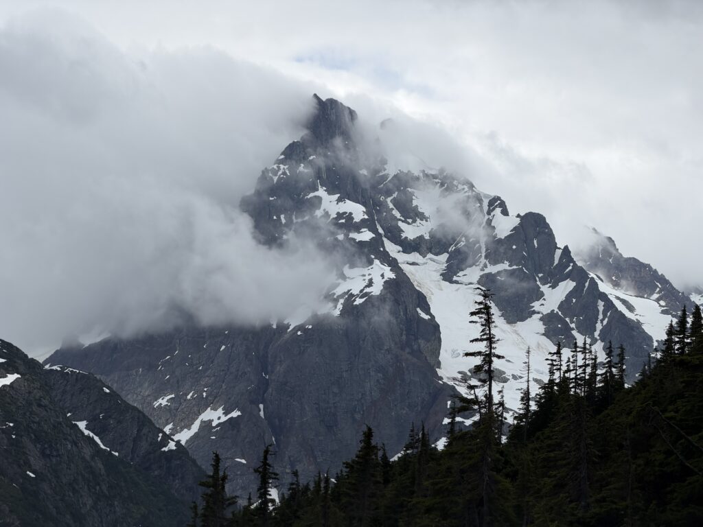
The following day’s forecast was calling for rain at last and so we figured we’d play it by ear. When morning came to, the conditions were moody, but not rainy. We decided to climb up the nearby 2012m peak to the south west and then see if we couldn’t squeeze in a small camp move after. Sarah was less enthused about a peak with no views, so she left us to go explore the ping pong ball conditions.
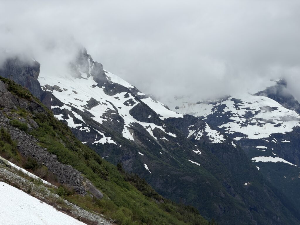
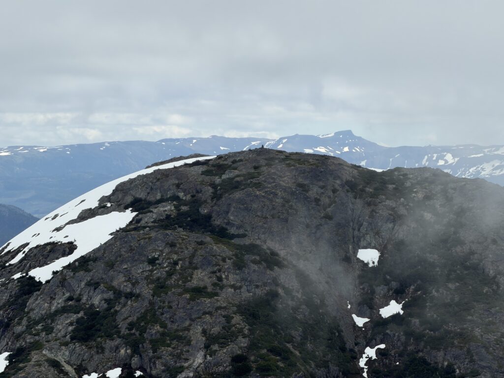
Armed with a small day bag and axes, we proceeded up a snowy ridge from our camp up to about 1750m and then bypassed a sub summit on the south side. From there it was a 250m ascent up more snow to gain the broad summit ridge. We walked along for a ways through the clouds and arrived at what appeared to be the high point. It was thankfully both free of snow and cairn. Construction of the cairn commenced and after we were satisfied with our reasonably sturdy structure it was time to return to camp. (We’d later settle on naming this summit “Fixation” after finding 1 definitive cairn and another potential one, we were set on getting to unexplored terrain).
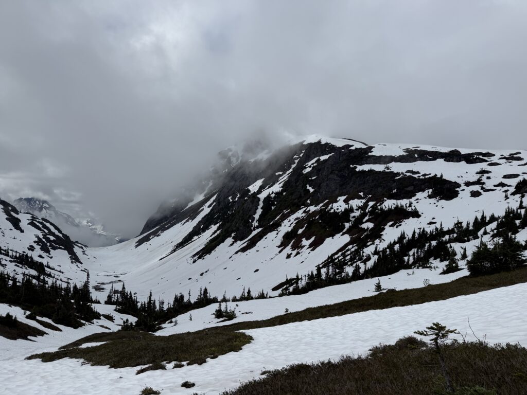
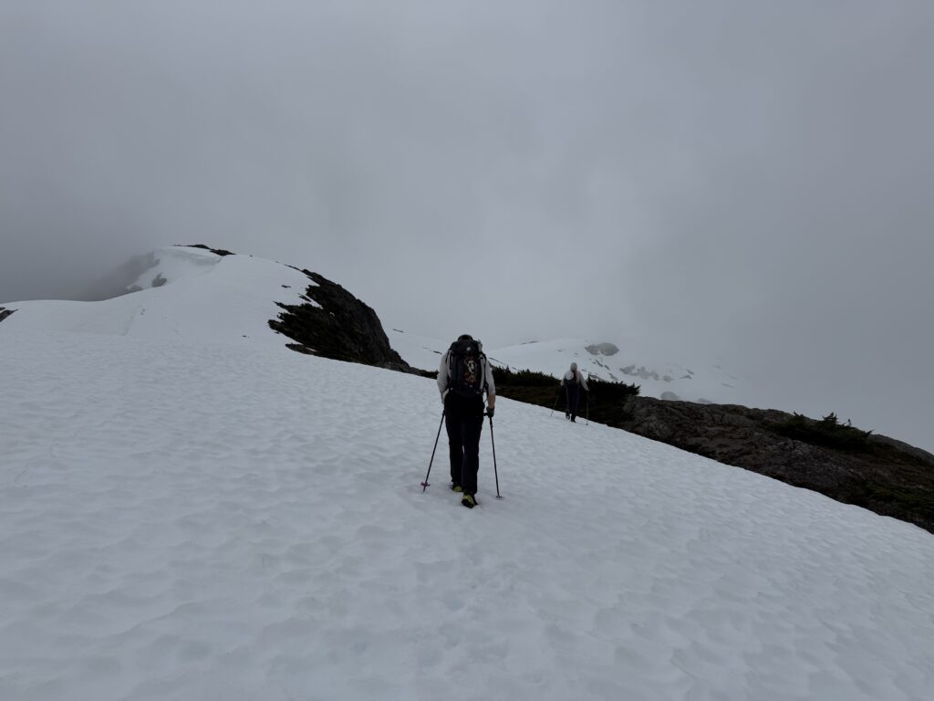
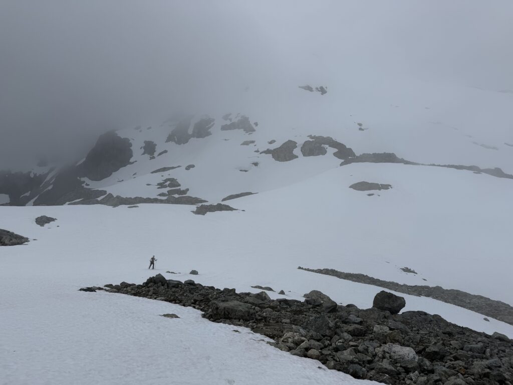
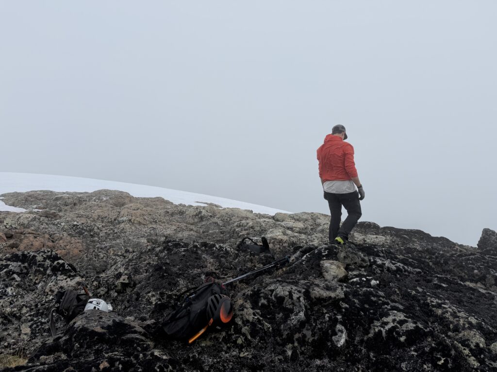
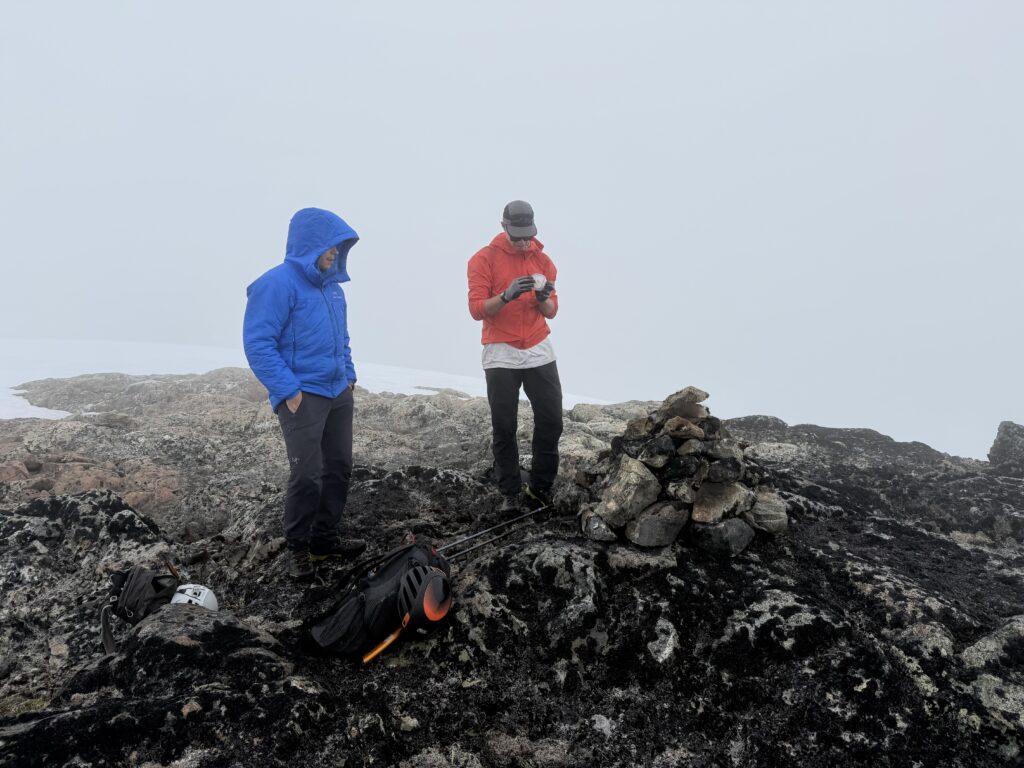
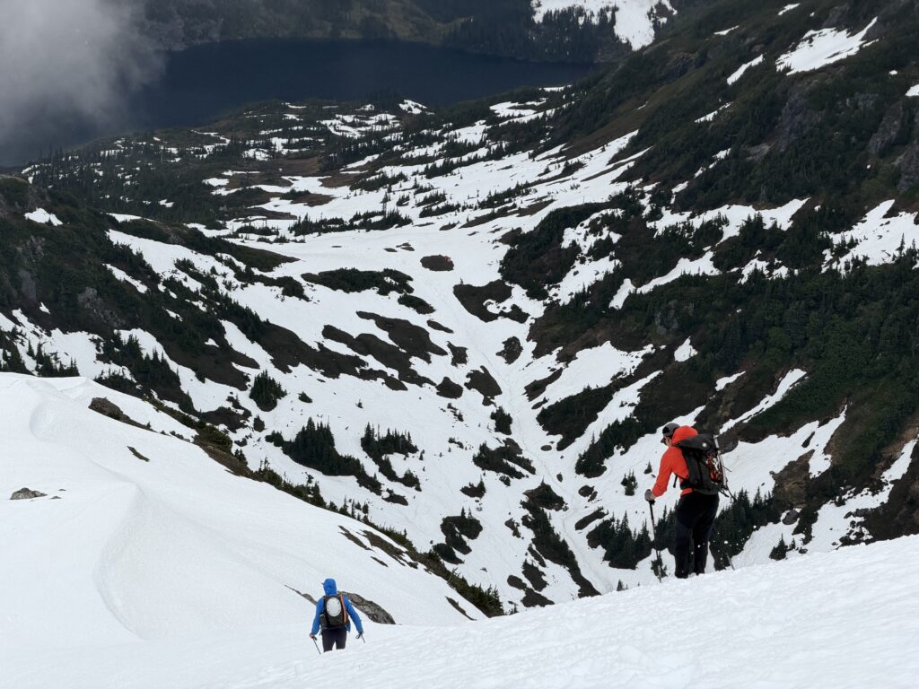
Once we arrived back at camp it was time to pack up once more and move as far as we dared with the looming rain. This time our target was a cirque on the east side of Creswell and Kalone. We packed up and traversed a ways on open terrain. Then came decision time. Bushwhack through some verdant green looking slopes to avoid elevation loss or drop down and hope the more mature forest up to the cirque might offer reprieve.
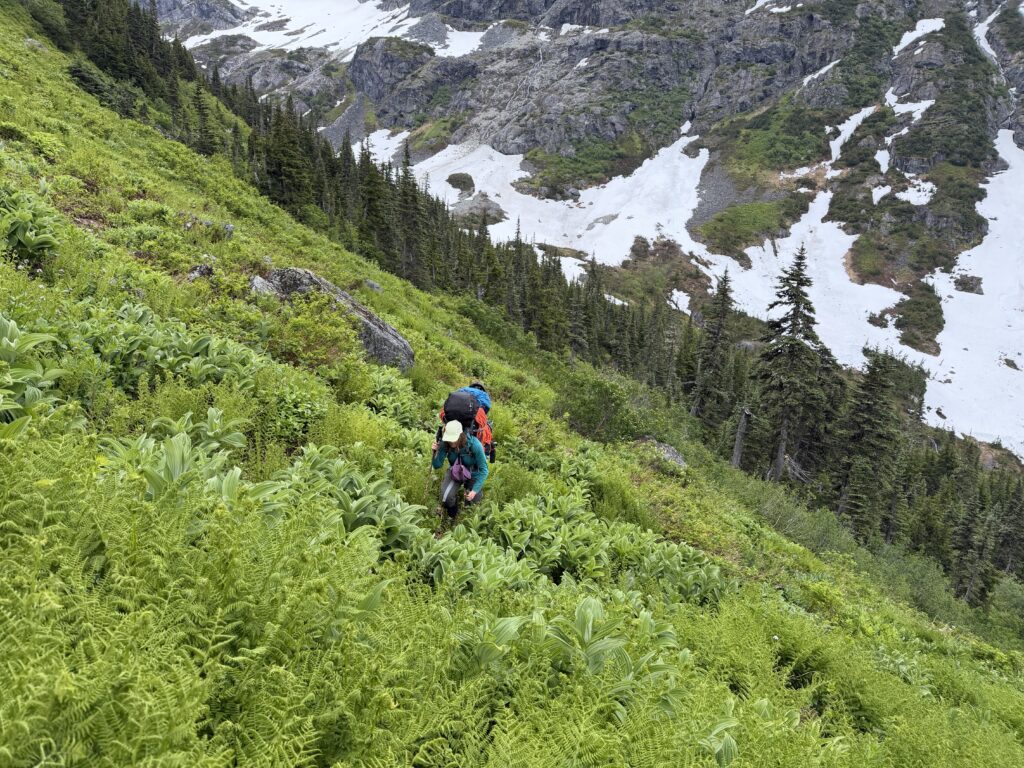
Sarah suggested the green slopes and we were all in agreement. Better to avoid re-gaining anything with heavy ass backpacks. To our surprise the bush was actually quite light and the worst of it was in the trees themselves. We eventually burst on to the scene of the cirque and found two reasonable spots to set up camp. More rain was in the forecast, but who knows may be we’d find another window. Our big goal was to reach the base of the 2212m peak directly west of Index Crag. That marked the area that had no recorded ascents (or so we thought at the time). The next two days would start to unfold some interesting answers for us.