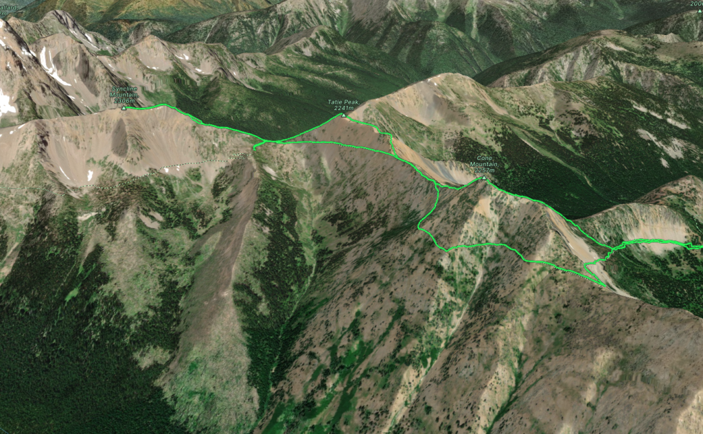
Elevation Gain: 742m
Distance: 10.5km
Total Time: 4 hours 2 minutes
Date: September 30th, 2023
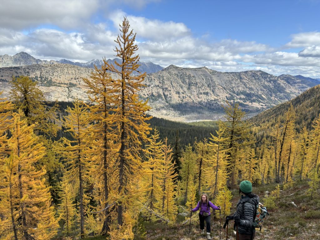
Andrea, Brittany and myself had headed into the Washington Pass area for the long weekend to make an ascent of Cutthroat Peak’s South Buttress. We had scrambled all the way up to the final ridge below the buttress before deciding to bail as Andrea was frozen cold with all her layers on. Not ready to give up on the day yet though, we decided to go in search of larches instead. Andrea had planned a few back up trips as we were certain the recent snow fall would shut down any climbing plans. One such area she had put on our radar was just south of the Pasayten Wilderness. An area called Hart’s Pass offered one of the highest drive-able service roads in Washington and an easy ridge ramble to a multitude of peaks from there. It sounded perfect, so we scrambled back down to the cars and made our way towards the pass.
I had read that this road was dangerous and rough, however we found quite tame road conditions and easily made it to the junction between the Slate Mountain Lookout and Brown Bear Trailhead. I was keen to checkout the ridges towards Brown Bear, so we forked left and pulled into a jammed full parking lot. Thankfully we found two tiny spots and squeezed in. This area is likely so popular because it’s part of the Pacific Crest Trail and the access is undeniably easy. The PCT simply skirts around all the mountains as it follows below their ridgelines, so we’d likely head up to the summits and return on the easy trail.
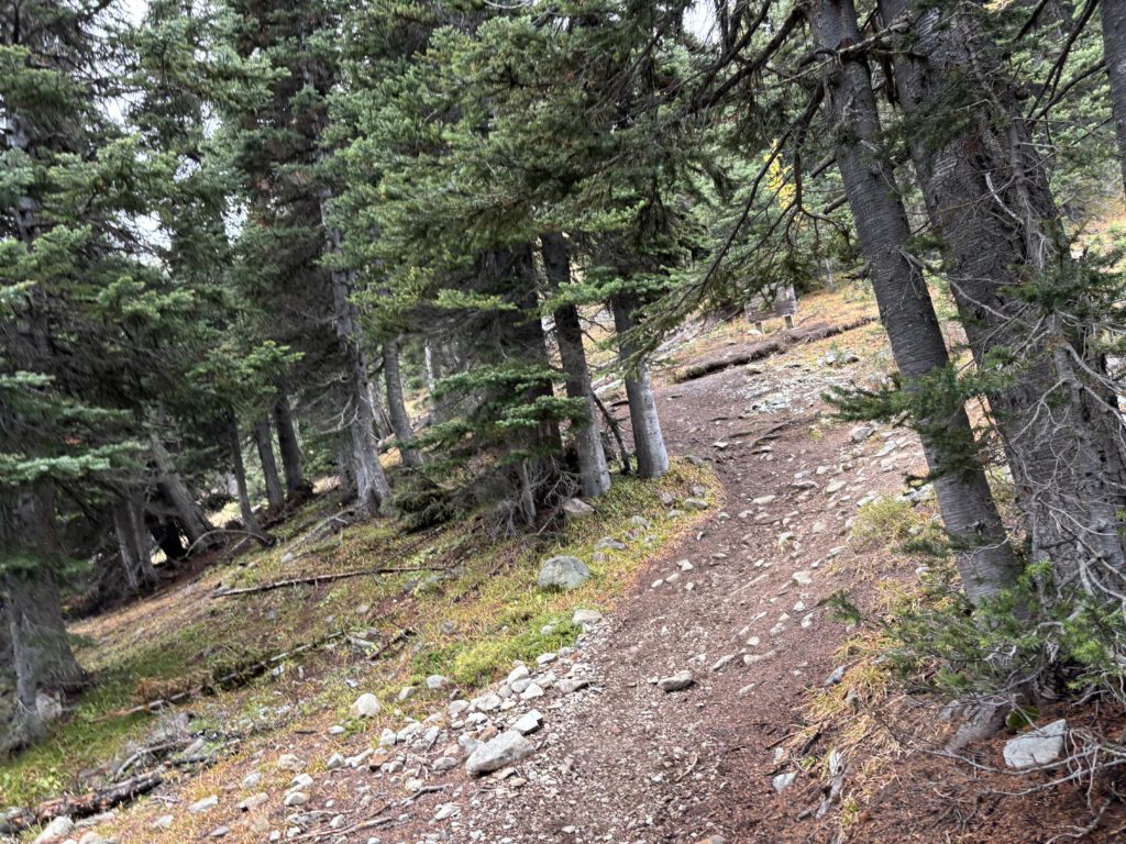
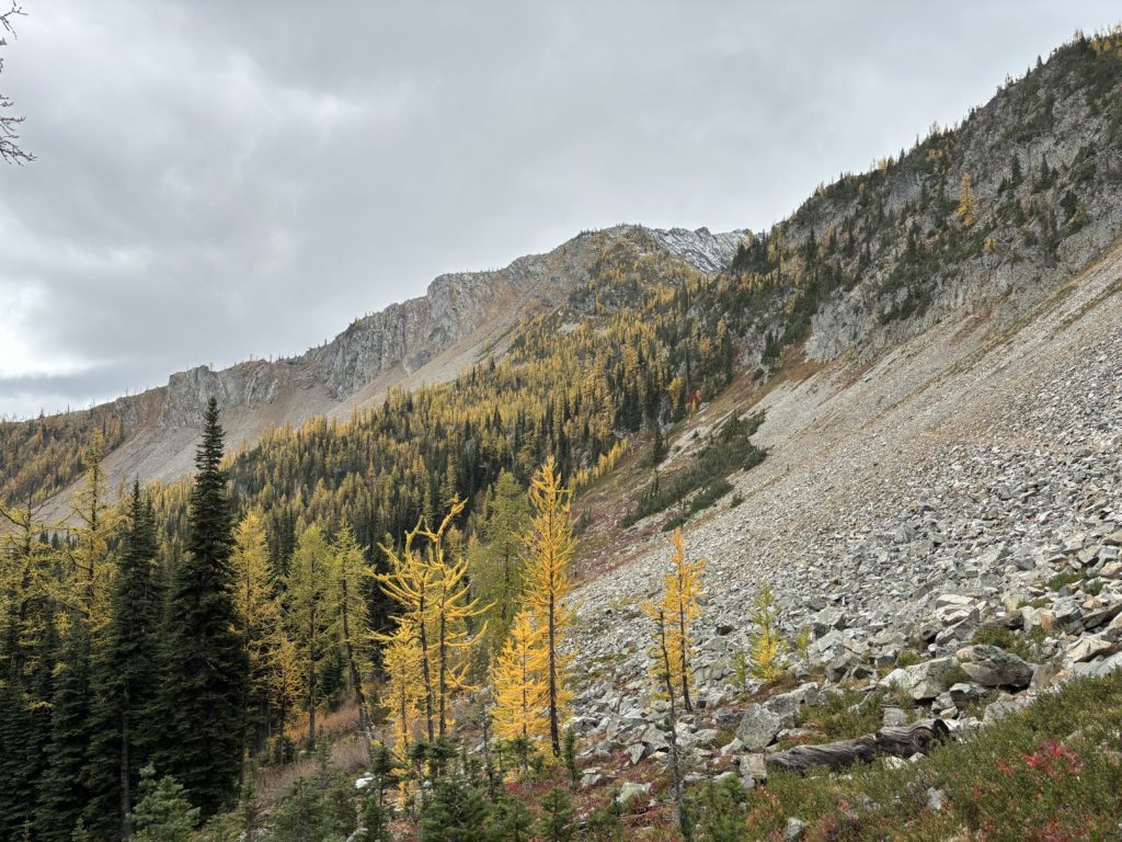
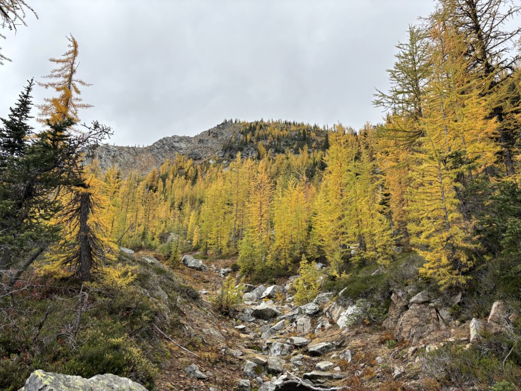
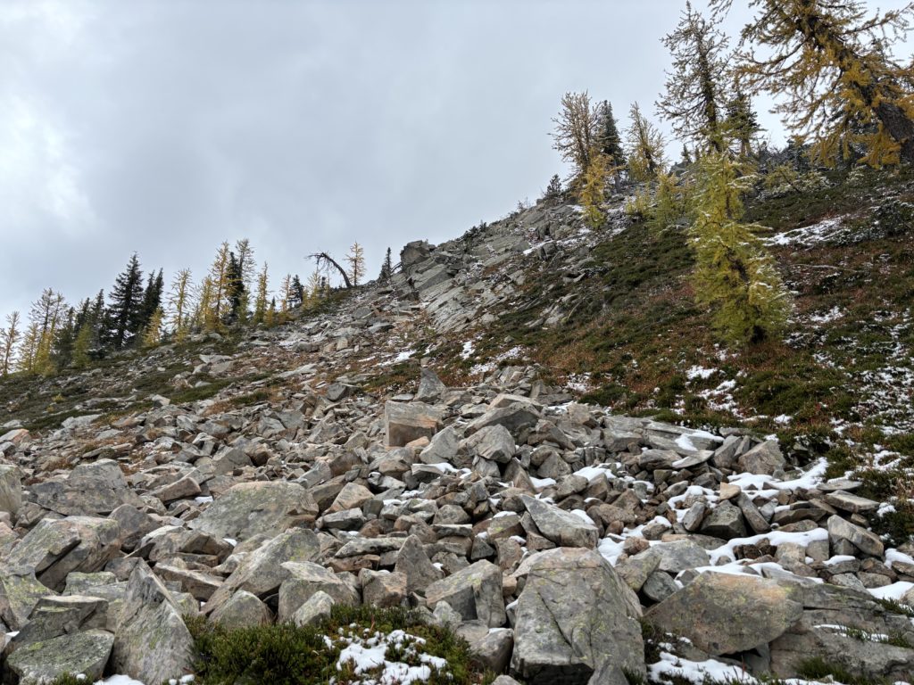
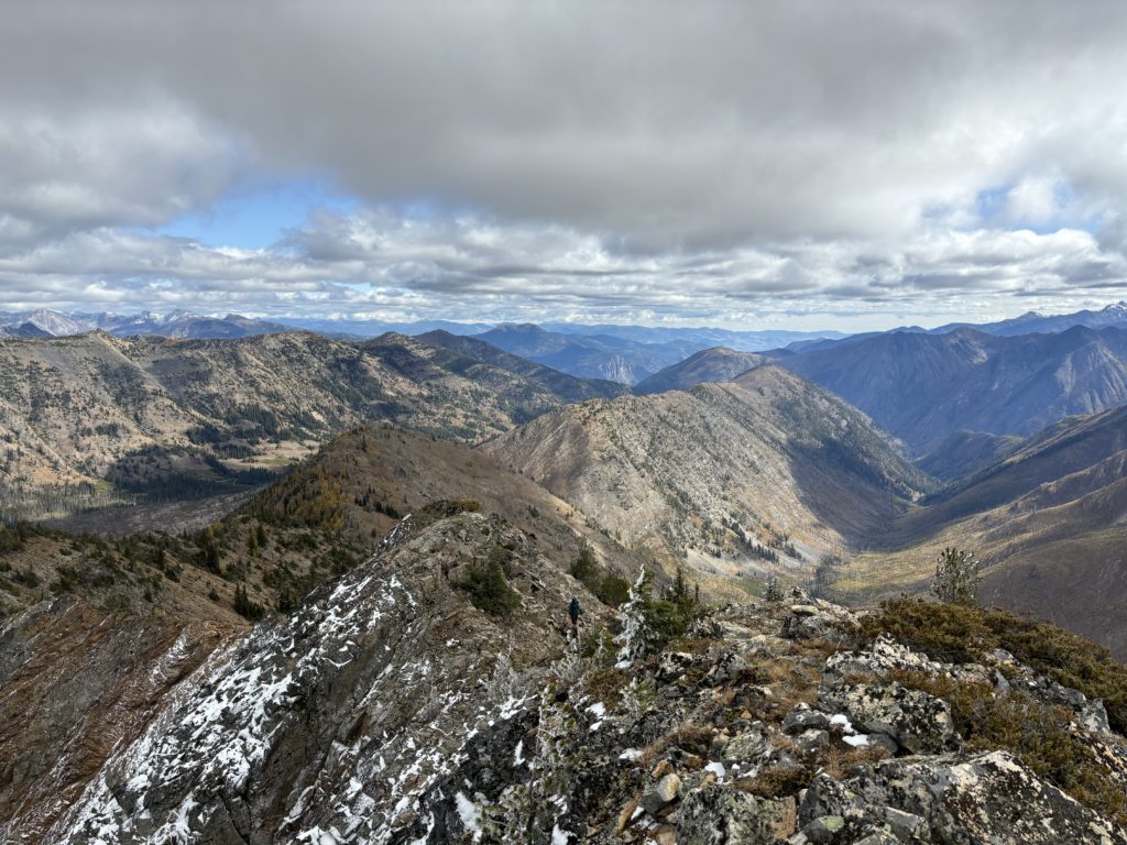
We set off on the trail and very quickly spotted Cone Mountain dead ahead. The terrain looked straightforward to reach and so at the high point of the PCT we cut off right and rambled up the ridge. The lower slopes were mostly heather and larches, but we crested onto the rocky ridge line shortly after.
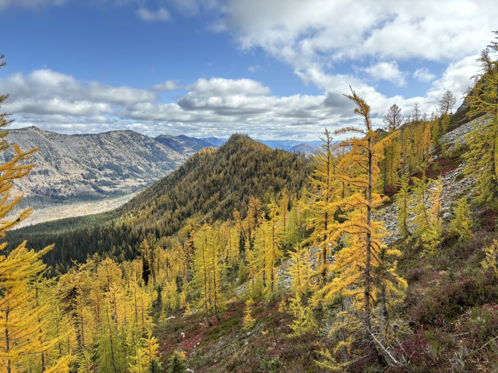
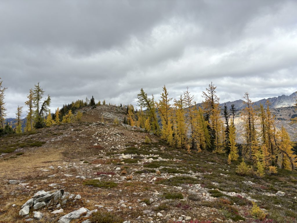
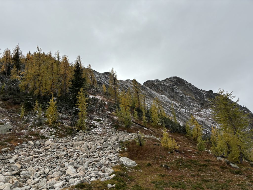
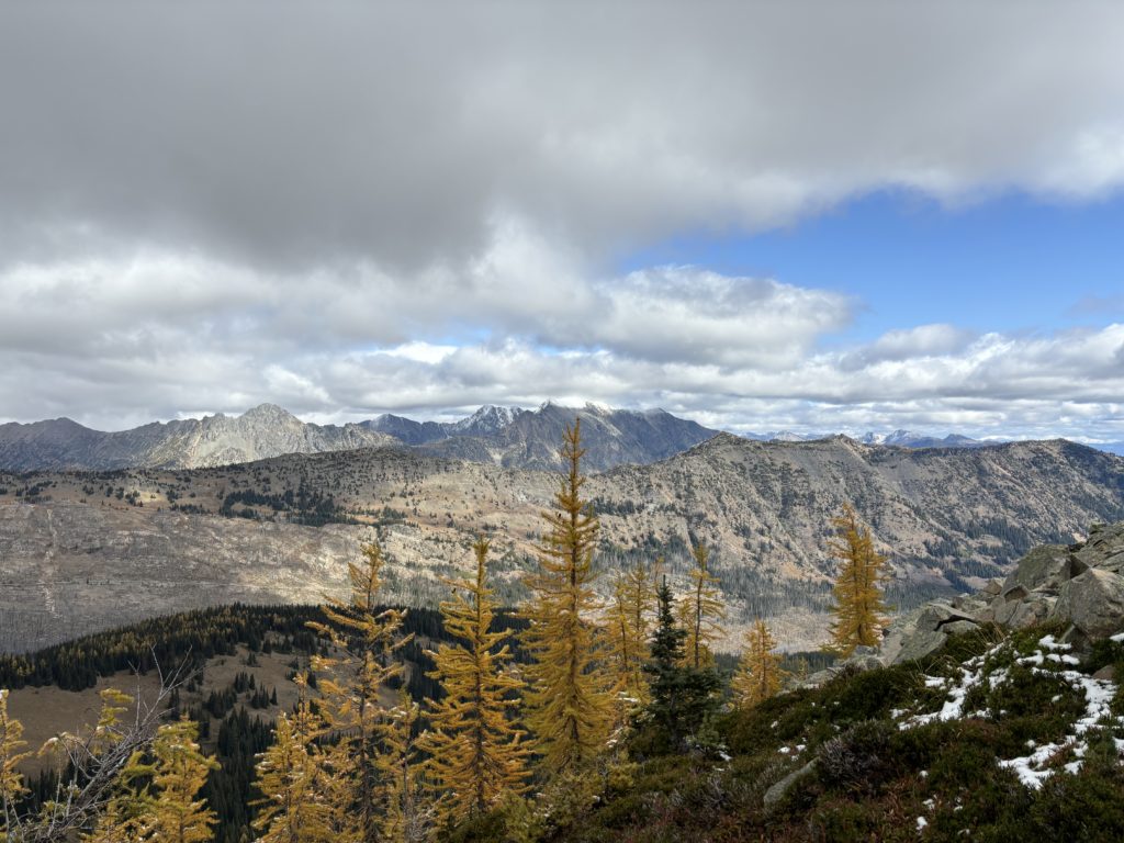
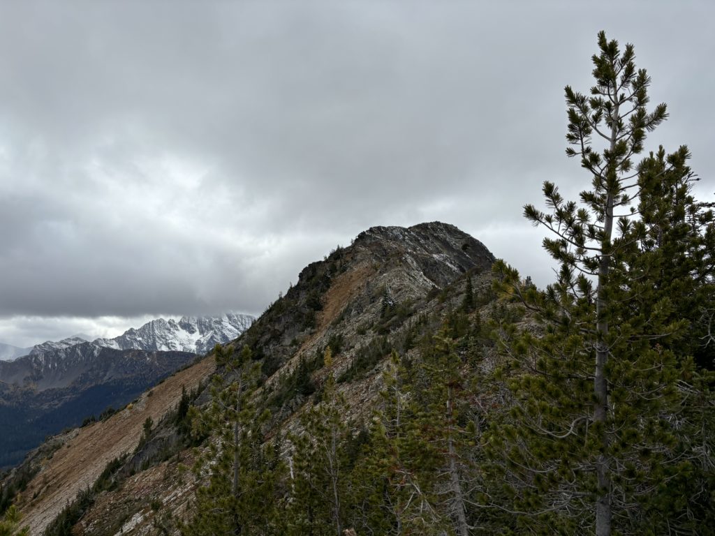
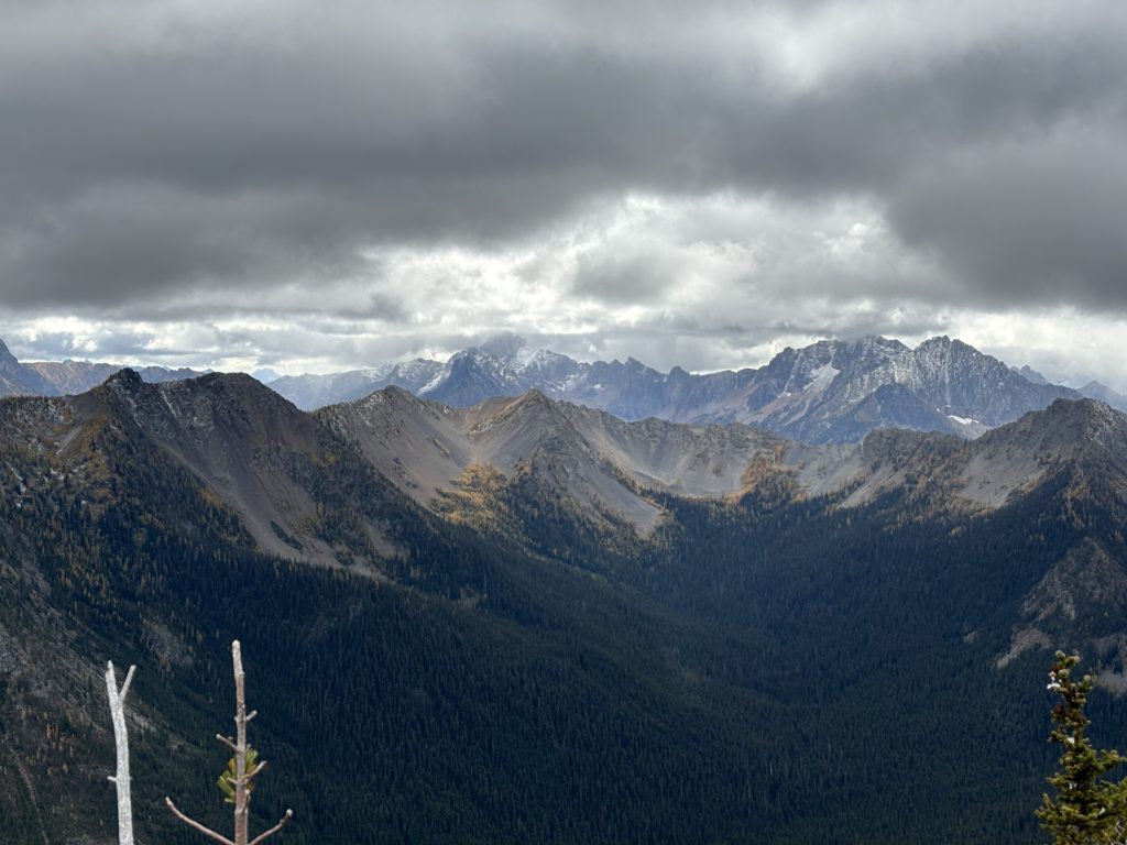
From there a number of false summits presented themselves as we kept thinking we had topped out. After about 300m of ridge rambling we reached the true summit. Ahead were some moody looking clouds framing a long ridge line flanked by golden larches.
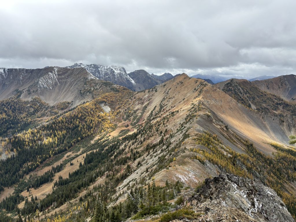
It was exactly what we came for! Further down the ridge line laid Tatie Peak, so off we went for the next summit.