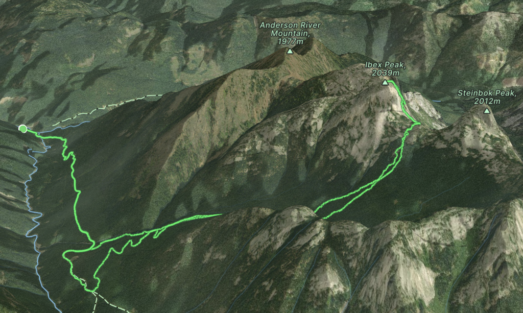
Elevation Gain: 1,440m
Distance: 20.65km
Total Time: 13 hours 20 minutes
Date: August 12th, 2023
The summits in the Anderson River group catch the eye from all angles, but most especially from the east where their massive granite faces sail high above the deep valleys below. If you’ve climbed any of the nearby peaks in the Coquihalla you will likely have seen these striking peaks to the west. I had my first good look at them from Alpaca Peak some years ago, but some initial research showed they are not trivial to reach. Back in the 90’s and maybe 80’s the Anderson River group saw significant timber extraction and newly minted roads ran the entire perimeter of the area. Perhaps in the mid 2000’s the logging drew to a close and the service roads have been degrading ever since. Up until 2020, one could apparently still drive to within 4-5km of Steinbok, Chamois and Ibex Peak. During the 2021 floods the bridge access across Anderson River was destroyed and so one sees the life cycle of road access around BC first hand.
The tallest summit within this Anderson River group is Ibex Peak. McLane’s alpine select (the old version) mentions Ibex and a 6 pitch 5.9 ridge climb that really caught my eye. However, it wasn’t until the new version of alpine select came out that more beta on access was revealed. As it turns out, one can still make the approach to summit with 4.5km of service road walking and another 4-5km of old cut block navigation and old growth bushwhacking. That’s a decent approach for just 6 pitches, but the area is iconic looking and I couldn’t resist making a go for it this summer. The route in question had a very brief description in alpine select and a haphazardly drawn route line. Thankfully, I was able to supplement that with a better topo description on Drew Brayshaw’s MountainProject post. As usual, these types of outings involve a fair bit of figuring out on the fly as there’s no good pitch by pitch description, but solving some of the mystery is always fun.
Andrea was out for the coming weekend due to a family trip and with two days of good weather in the forecast I started reaching out to see if anyone was free for an alpine climb. Geoff answered the call and we hatched a plan. The drive in is not a short one from Vancouver, so we decided to get to the trail head Friday night, camp, and then do a single day push for the summit on the Saturday.
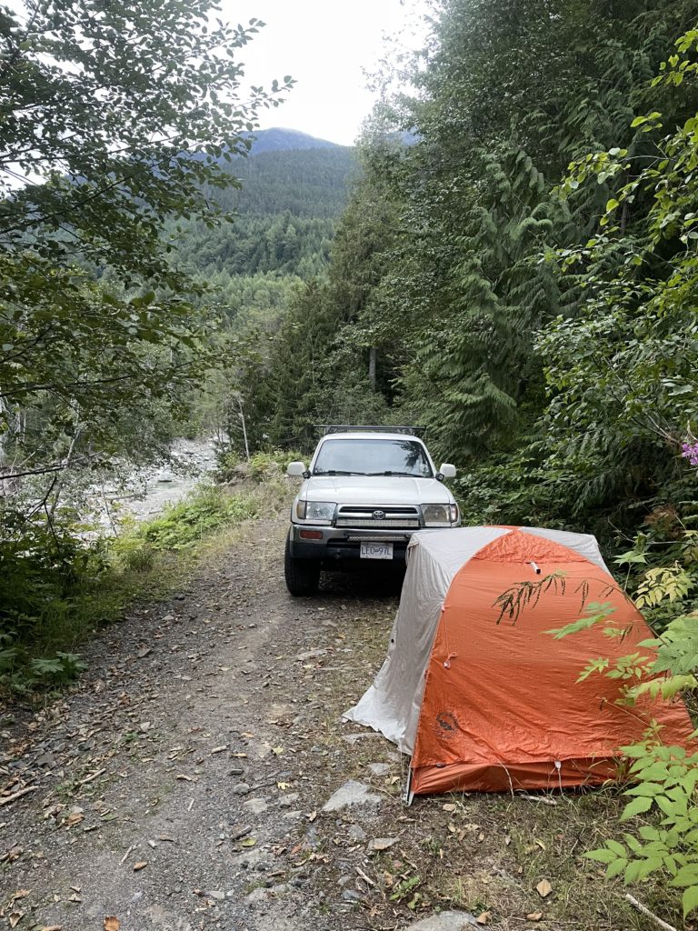
I had to finish up some errands Friday afternoon and didn’t get to our meeting spot at Whatcom until almost 8:30PM. Thankfully, Geoff is laid back and we departed shortly after loading up his 4 runner. We turned onto the Anderson River mainline in the dark and prepared for the usual calamities that service roads offer. However, none we encountered and we reached the trail head with only one section of loose rocks to smooth over. I setup my tent outside and got to sleep… barely. I mistakenly had a 7pm coffee and had to fight tooth and nail to squeeze in some sleep. By 6am I rolled out of the tent to join Geoff for our day of climbing. Misty looking clouds clung to the upper reaches of all the peaks that we could see and our sunny forecast was looking questionable. I just had to hope they’d burn off in time.
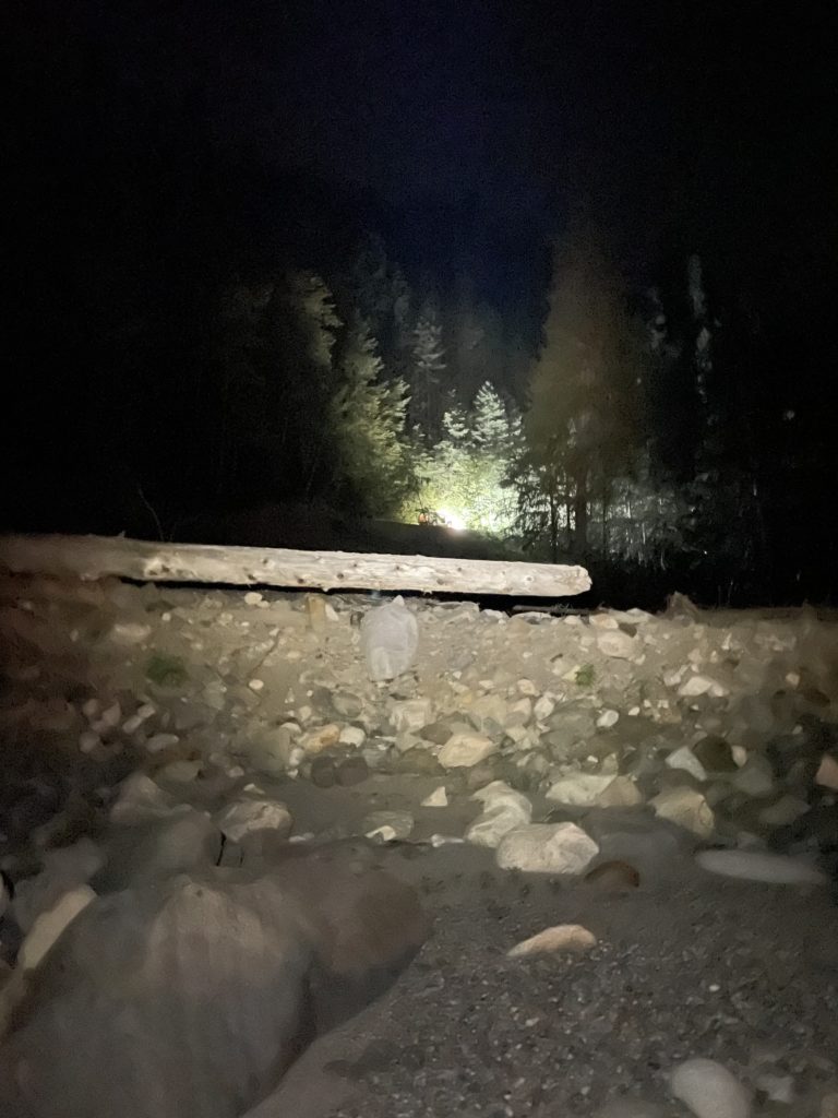
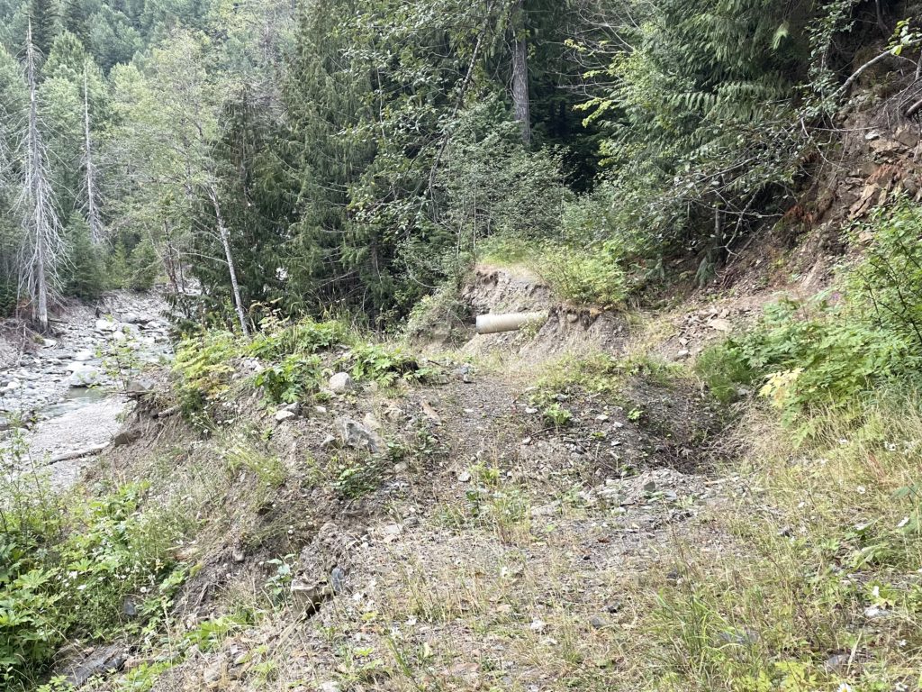
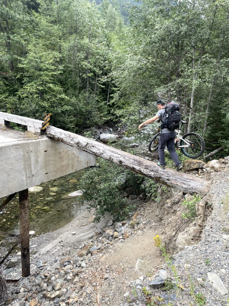
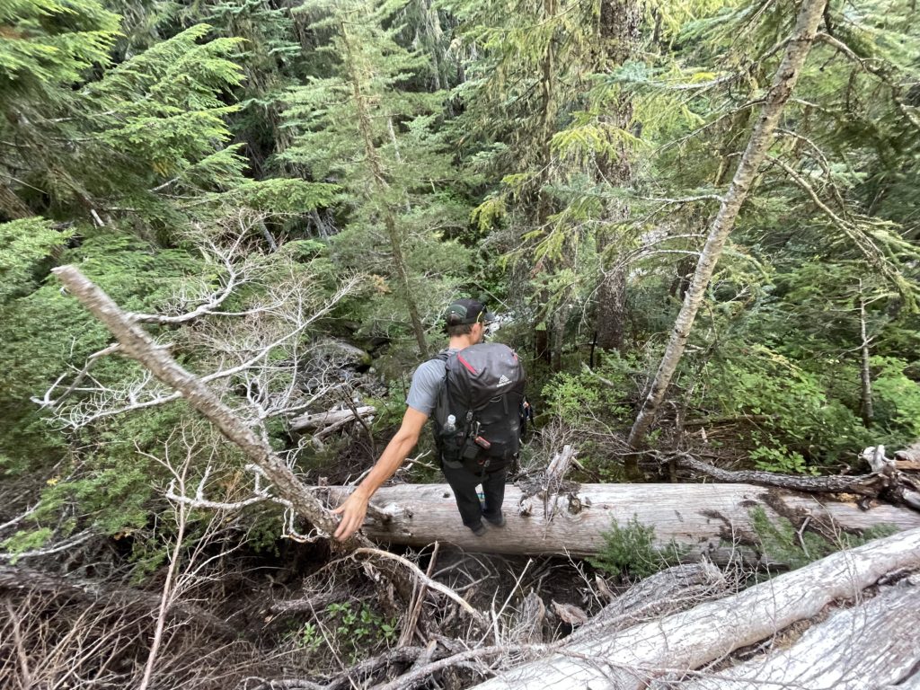
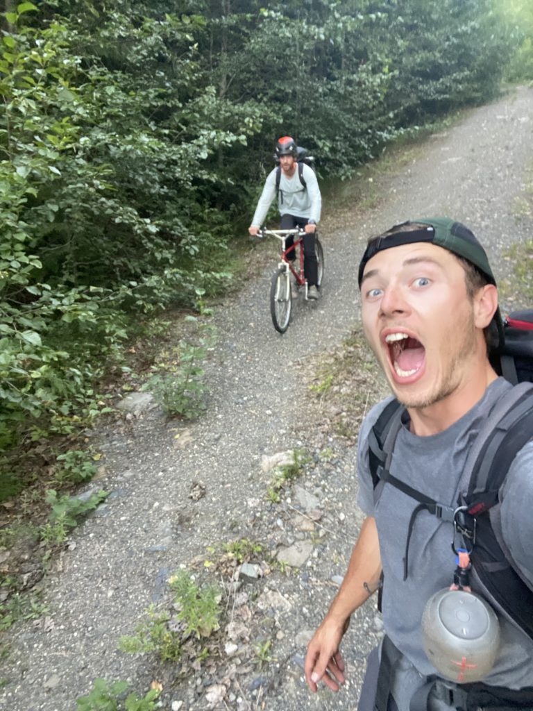
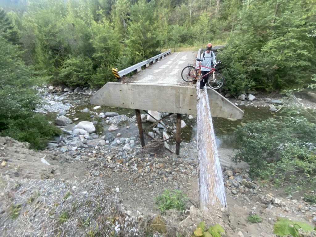
We brought bikes to shave off the boring service road approach and so loaded up our packs, walked past the washout and started biking down the road. About 300m we reached the washed out bridge. There was a 6-7m gap between the bridge and the road with a precipitous drop to the river below. A single log bridged the gap and so we had to perform a balancing act with the bikes walking across. After that we optimistically started our bike up the service road, but the grade quickly shut us down. That’s okay, easy biking on the way back! So it was, we walked our bikes for about 2km with a few washouts in between. Beyond that the grade eased off and we were able to bike the remainder of the distance to the cutblock near Ibex Peak.
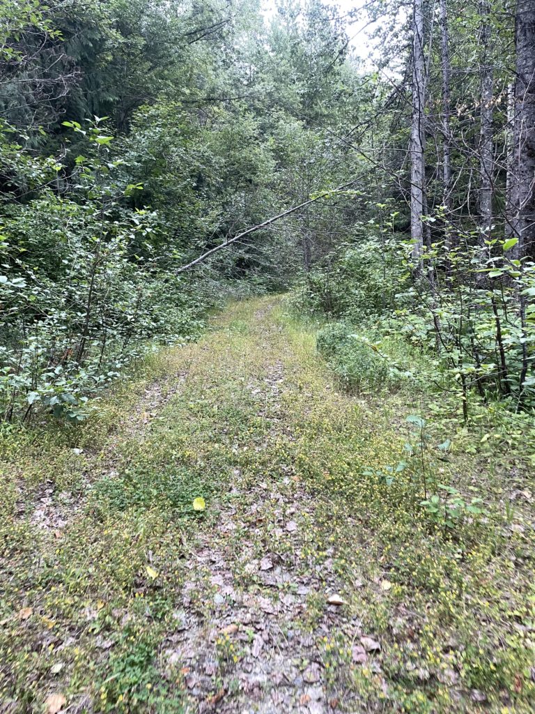
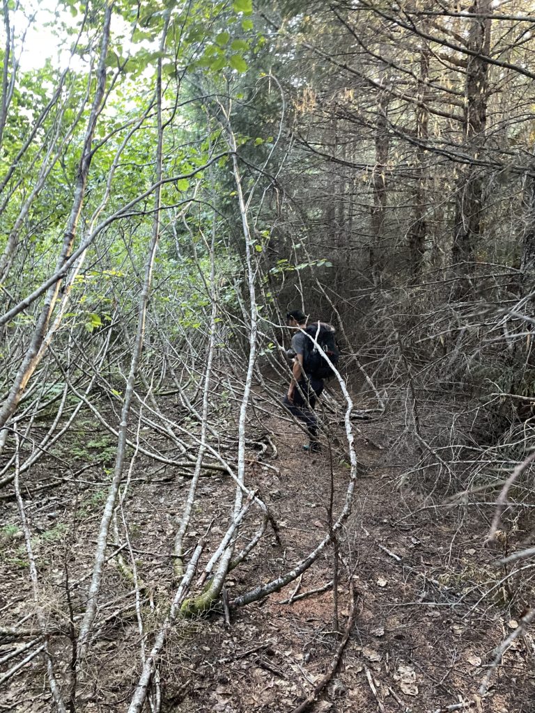
Locating the spur road through this old cut block was a bit of a challenge but we eventually found our way onto the alder choked road. We bobbed and weaved through the alder maze for a little while before some flagging caught our eye and we escaped into the second growth forest. It turned out to just be creek flagging, but the going was good so we just followed it up until rejoining with the road higher up. We followed the road again for a bit and then the cut block terminated altogether.
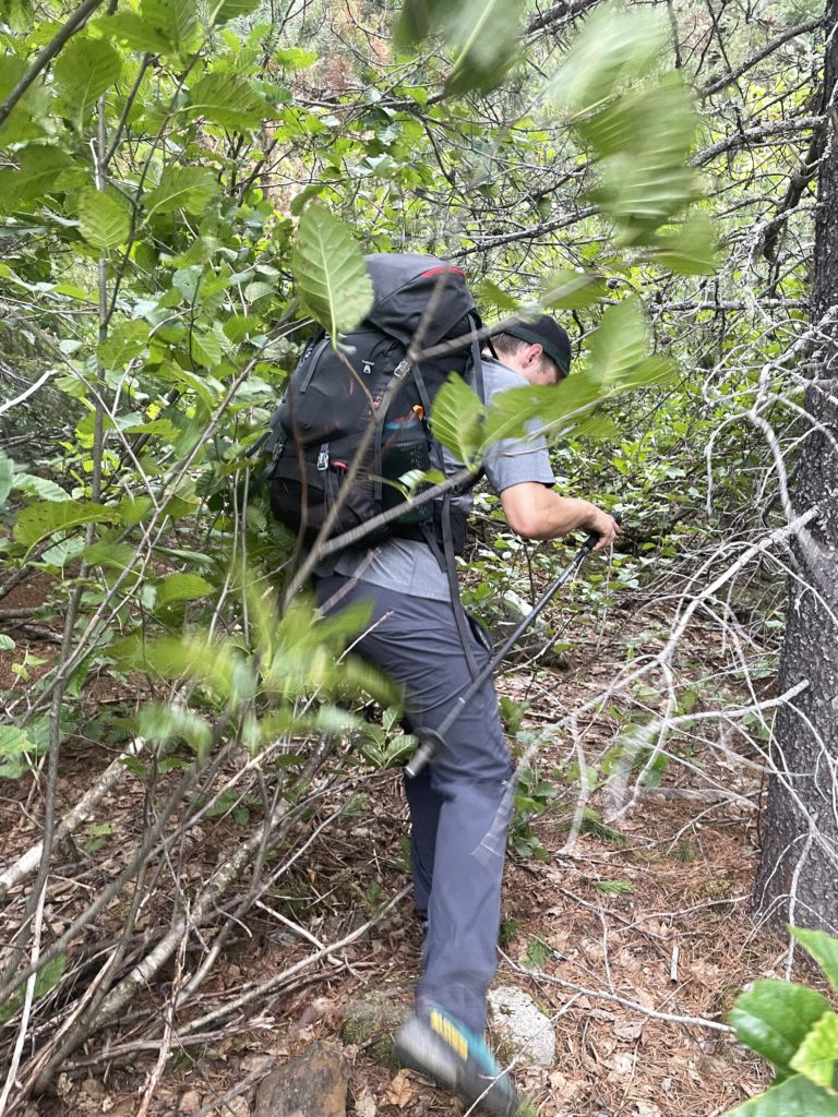
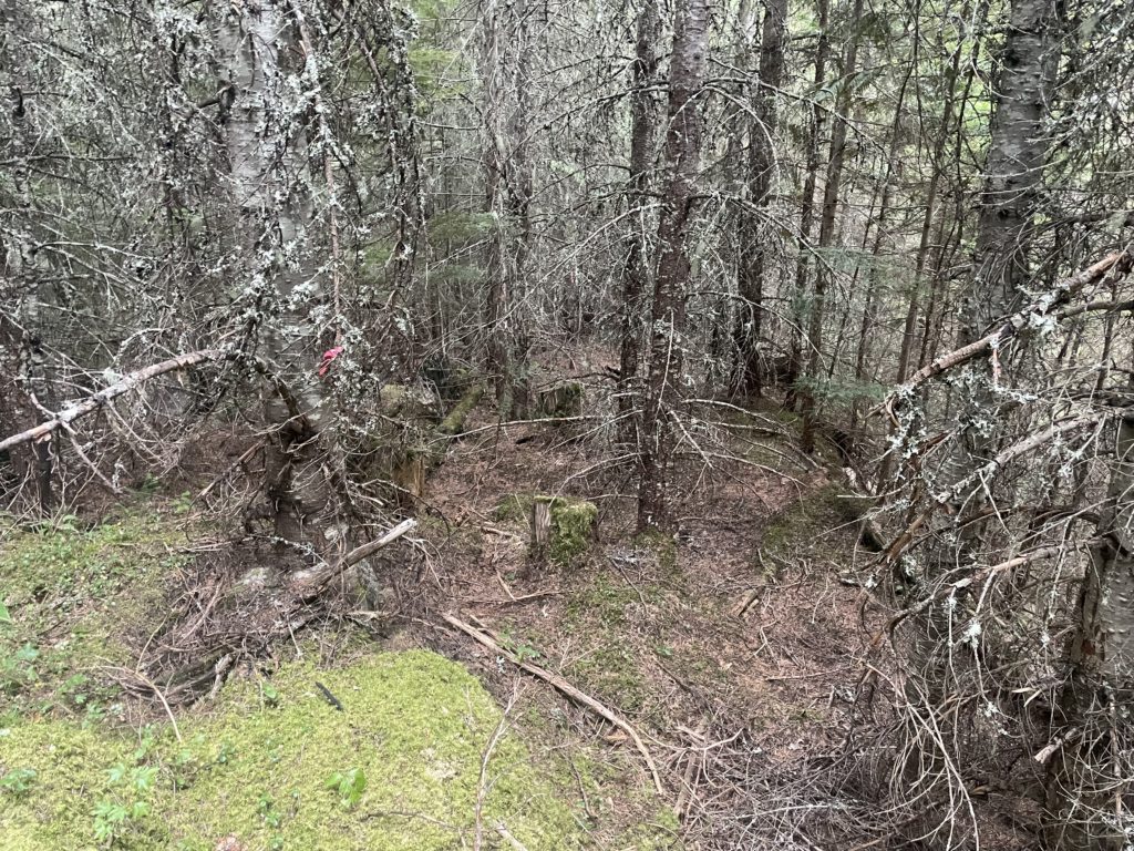
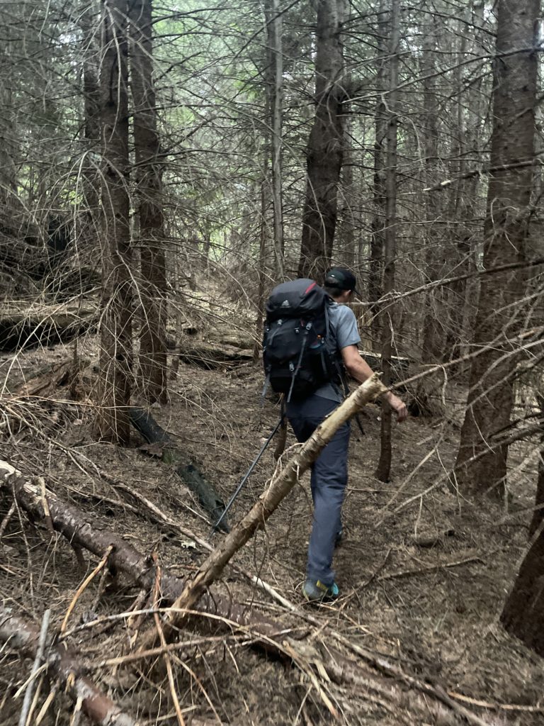
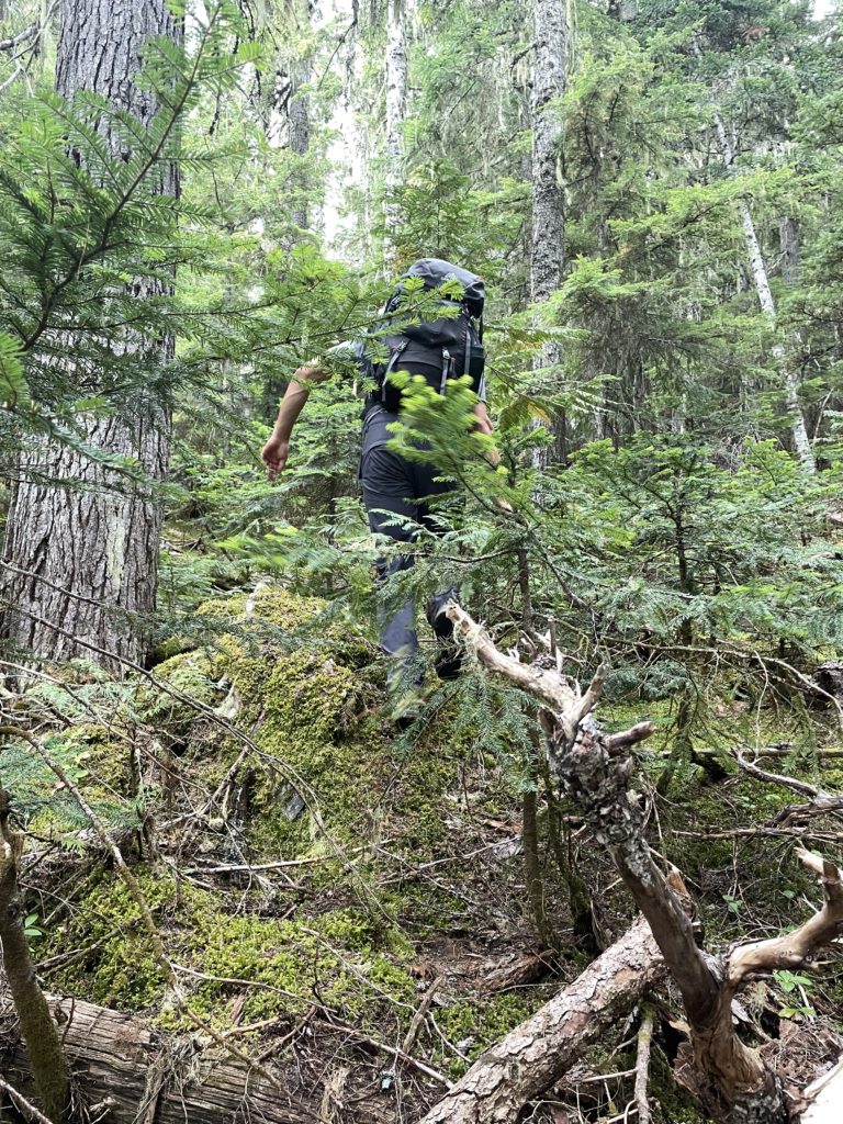
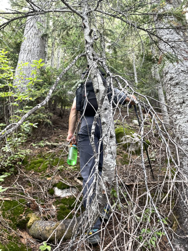
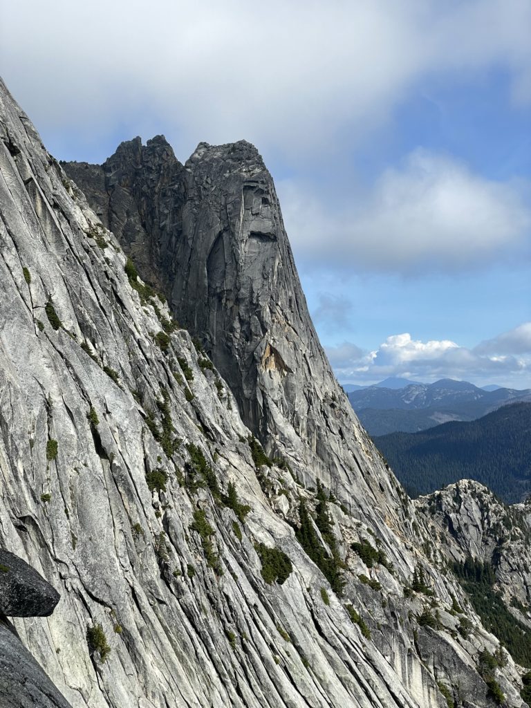
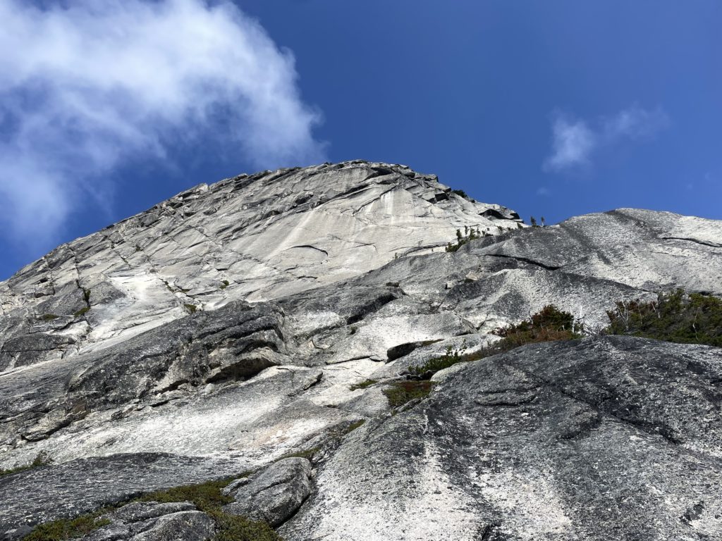
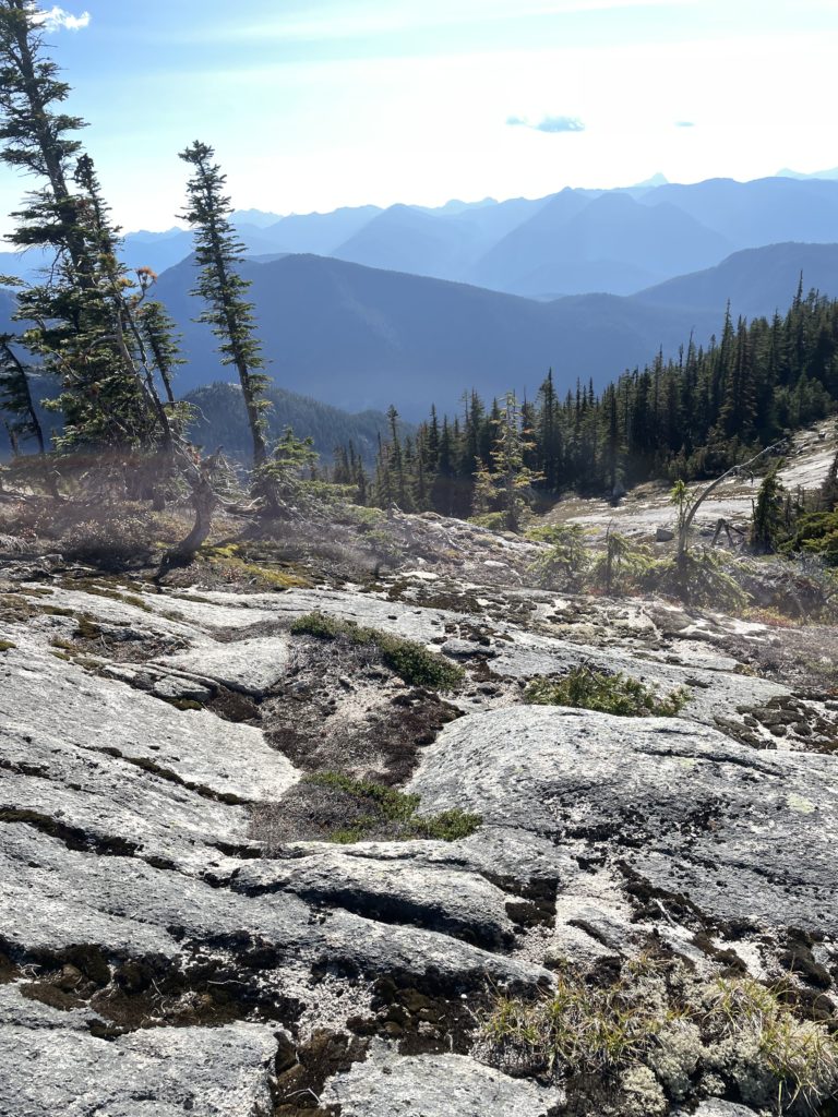
The old growth forest beyond made for fairly simple travel but ended up being a longer journey than expected. As the grade steepened near the Ibex-Steinbok col, the brush grew thicker, but we slogged up and soon reached vegetation-free slabs above. We scrambled up these for a little ways and landed right in the middle of the col. Here we had up close views of the massive east faces on Steinbok Peak, Ibex Peak and Les Cornes; impressive to say the least! By now all of the clouds had burned off as hoped as well, making for a perfectly sunny day of climbing ahead of us.
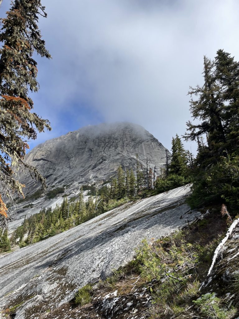
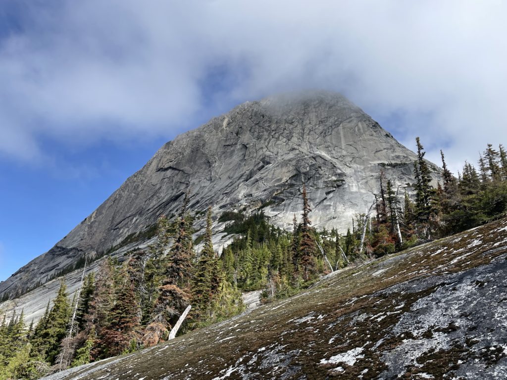
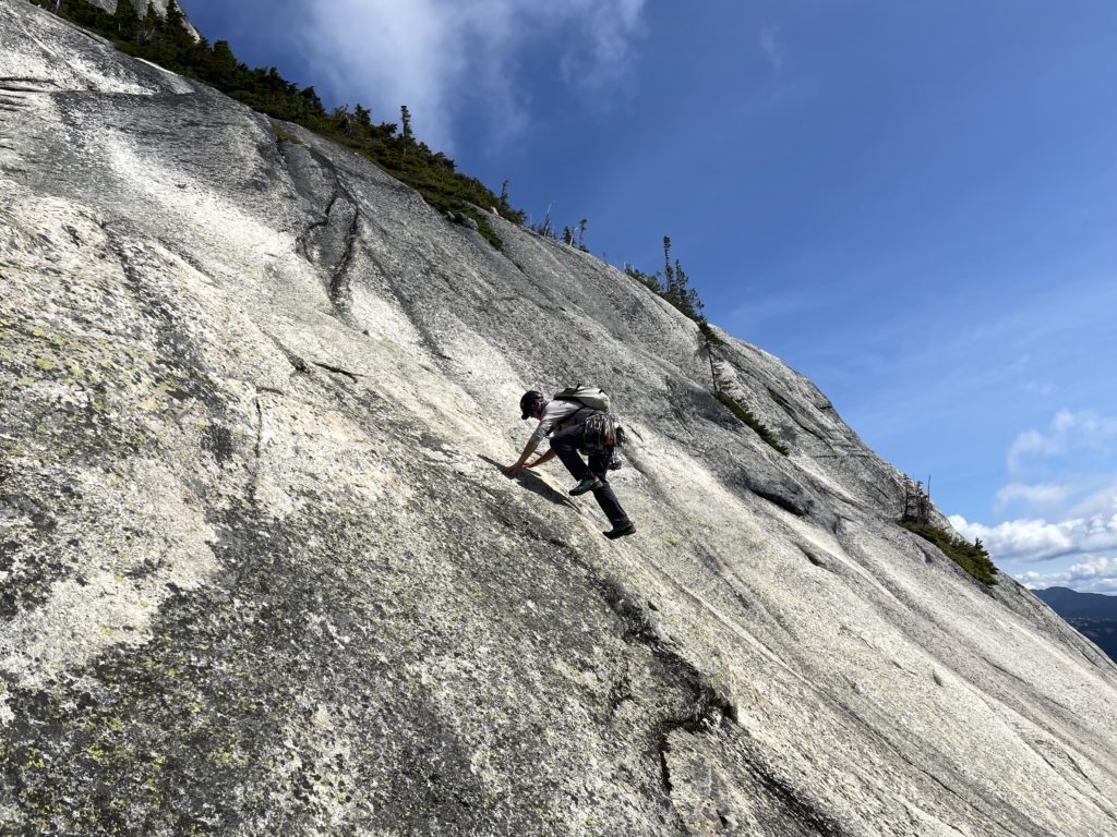
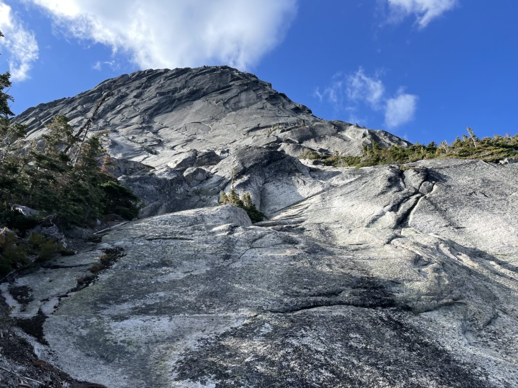
We hung out at the col for a bit and then racked up for the climb; ditching any unnecessary gear. I tried to line up the two photos we had with the first hand sight. The alpine select photo was way off and not of use, but Drew’s topo line seemed to offer a good path through the overhanging roofs and slabs above. I had some questions about the roof section still as it wasn’t clear how to traverse out of them, but we’d solve that en route. Geoff and I scrambled up to the base of the first slab pitch, but at 5.6 it didn’t look all too challenging. We resolved to swapping into climbing shoes and then climbing up unroped to a ledge traverse above. The slabs proved fairly easy, until the last section where a thin dyke traverse got us out of the steepest section and onto the ledge. This ledge ran all the way to the ridge proper so we hiked over and then decided to belay from there.
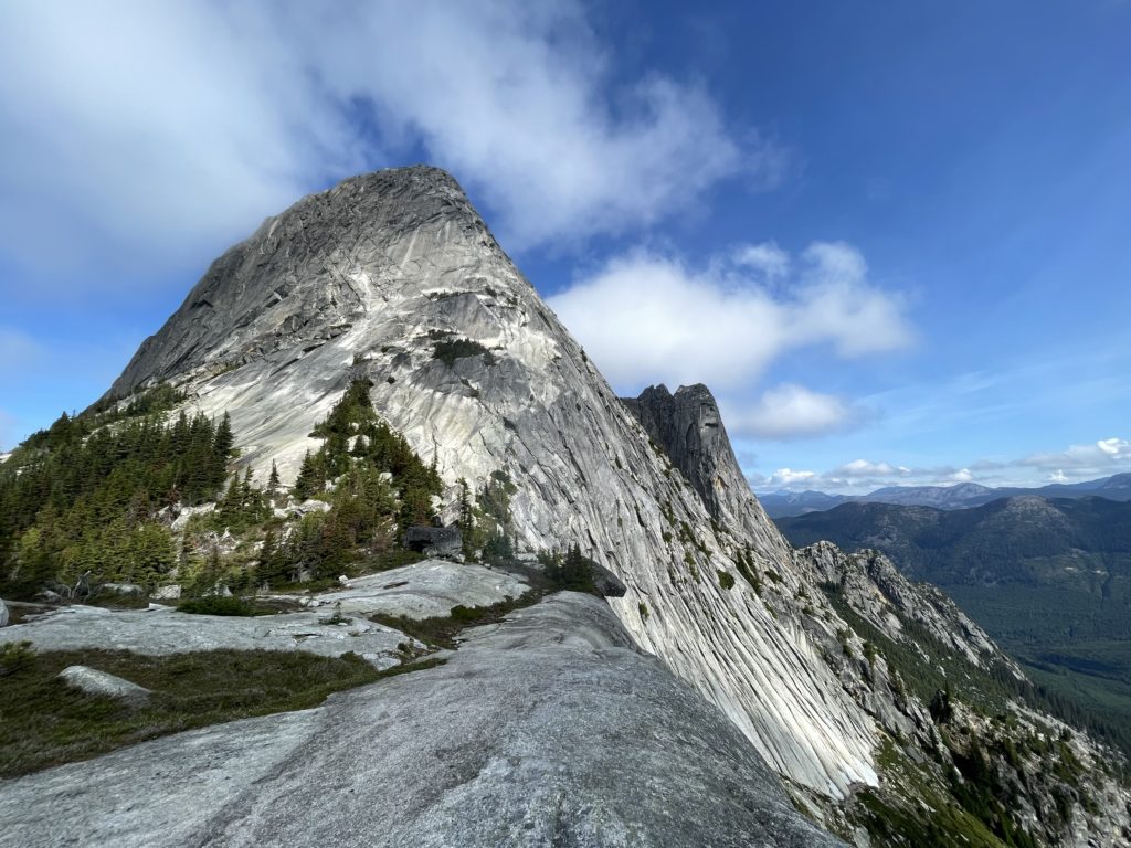
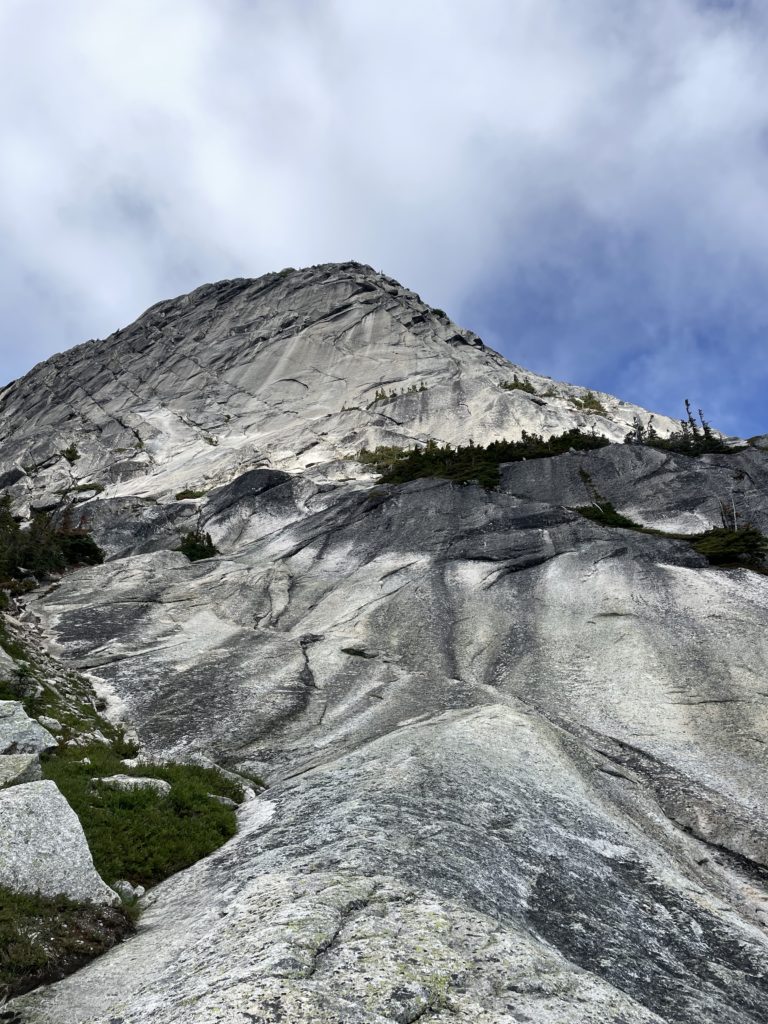
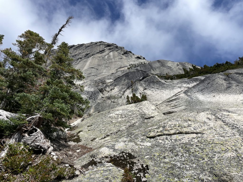
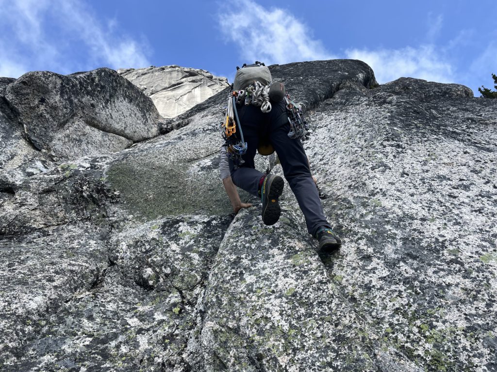
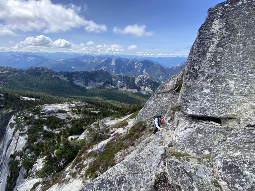
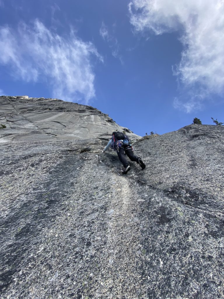
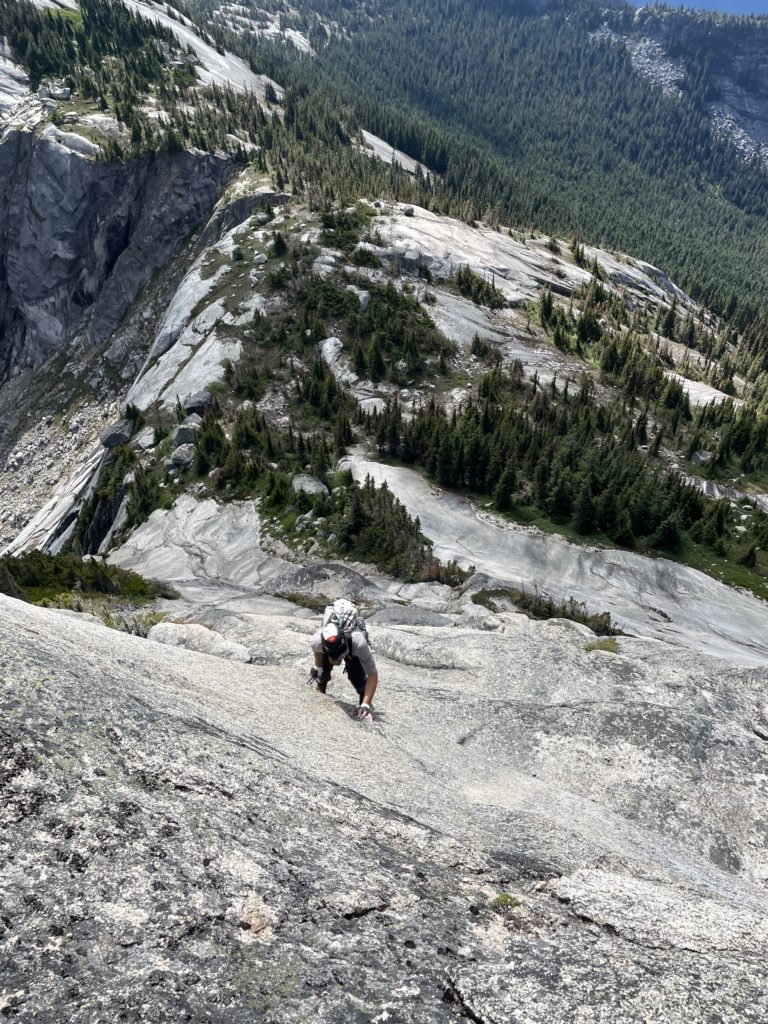
Geoff and I ran a game of rock paper scissors and Geoff won the first lead. Now roped up, he climbed up a short block onto the slabby lower section of the ridge. From there he ascended up a long section of unprotectable slabs before getting a first piece in some 16m up. He trended climber’s left here into a slabby dihedral and then up to the base of the roof section. I followed up next and found the upper section quite tricky with some tough stemming required to avoid the traction-less grass-filled corner.
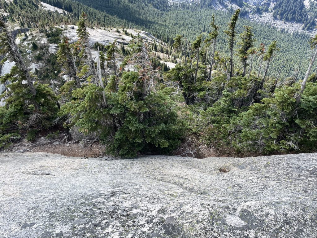
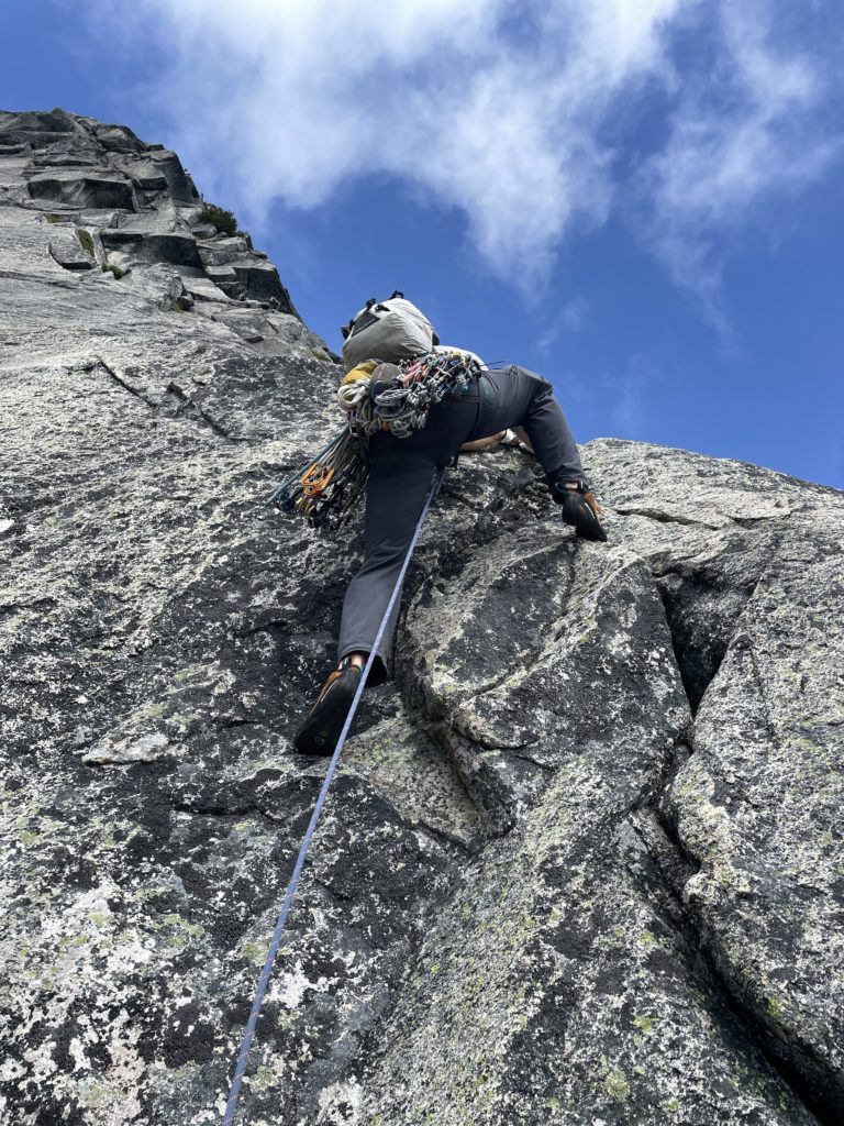
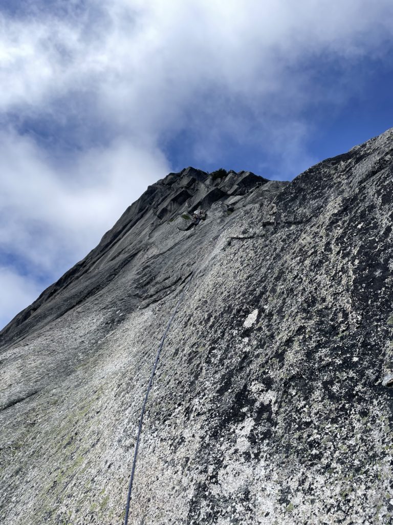
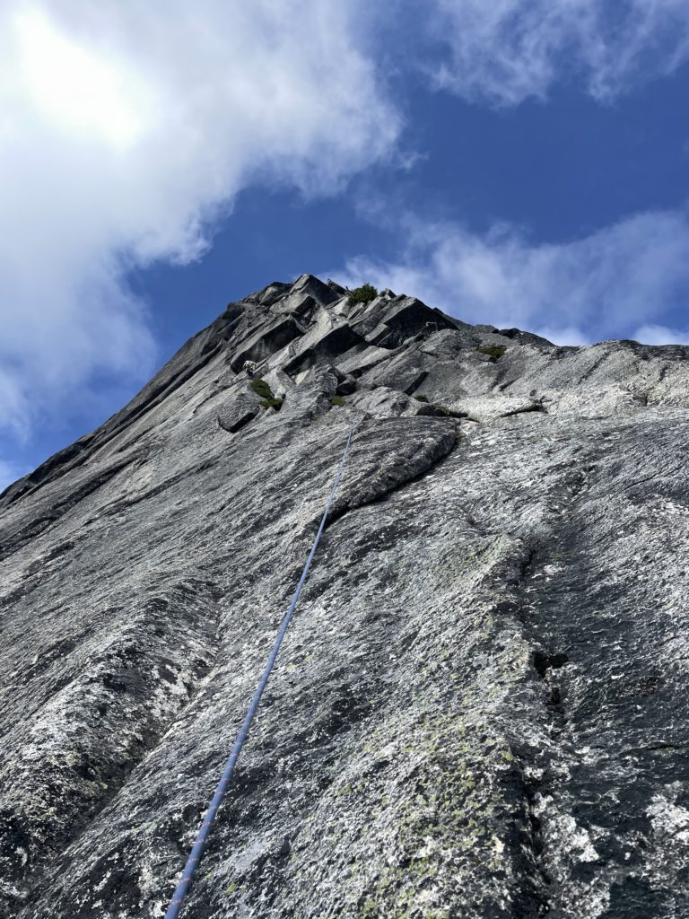
Now below the roofs, our question of how to traverse out was no closer to being answered. There was a good looking crack system up to a tiny ledge and then what appeared to be a perfect hand crack above that. I figured I could ascend the hand crack and then traverse right around an arete to escape the roofs. Or worst case ascend the hand crack all the way and pull on flakes high above to climb through the roof at left.
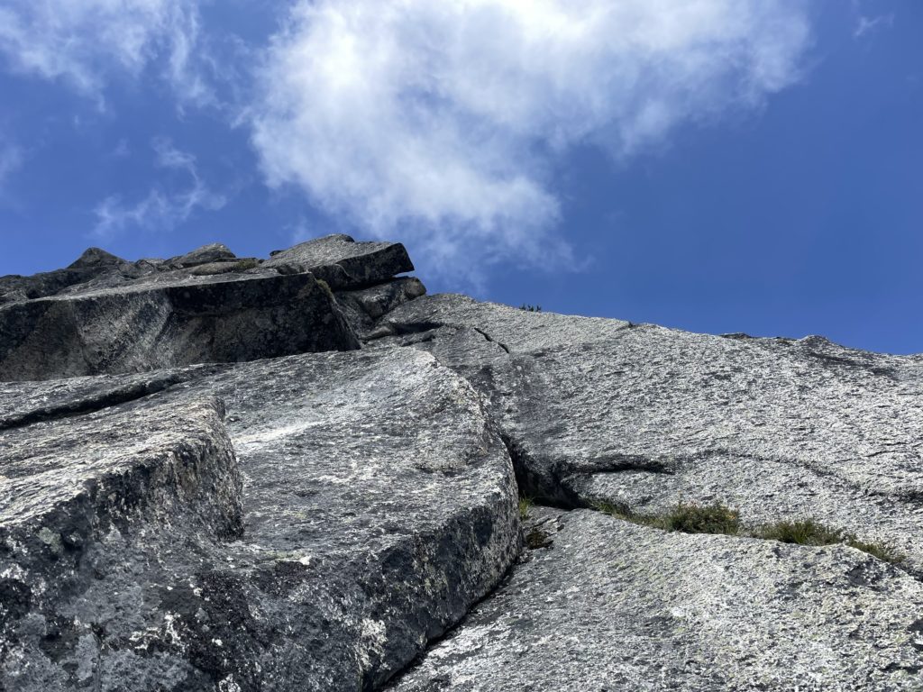
After a gear swap, I started up the pitch with a fun layback into a dirty corner. Based on the amount of dirt, it seemed this section didn’t get much attention and we began to wonder if we were on route. A very old nut, one secured with cord instead of steel cables, was jammed tight in the crack; so at least one person went this way… but how long ago did nuts use cord?! I excavated the crack to give myself something to hold on to and then pondered the moves for a minute. Time to commit, so I pulled a strenuous layback shuffling my left hand into the one free section of crack and then a reachy move up to the small foot ledge above. I pulled myself out of the dirty corner and stood on the ledge.
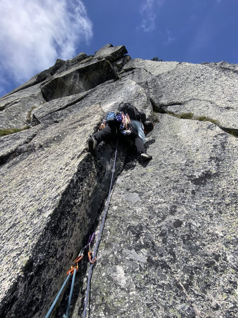
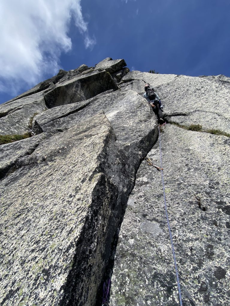
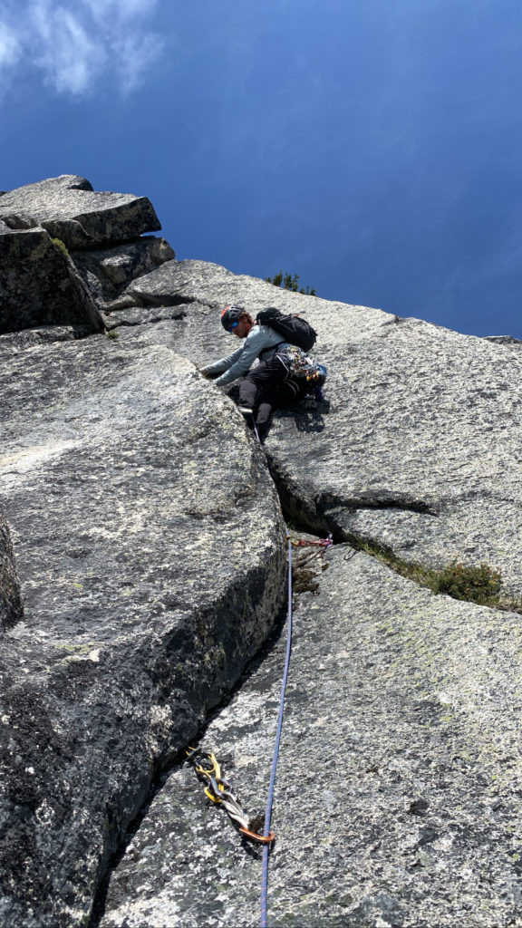
The hand crack above was actually just out of reach but a tiny sloping foot hold offered an opportunity to get into it. First, I excavated a nut placement on a tiny crack out left and then stepped out onto the thin foot hold. To my disappointment the hand crack was barely deep enough to put half a hand in, and only #1 cam size. That meant thin hands in a dirty crack. Oh well, I pulled up and got a good foot jam into the crack. As I climbed a bit higher I found one good finger jam and then looked around at my options. The hand crack turned to a closed off, then flaring mess above and didn’t look ideal to get out of the roof. Meanwhile to my right there seemed to be a small sloping ledge on the other side of the arete that I could use to escape the roof. I floundered here for awhile, down climbing, shuffling pieces and then finally asking for a take. With a small rest, I felt more confident and made the awkward stem out to the ledge and trusted all my weight on a sloping hold to push myself across. At last I was out of the crux and above another roof posed a different challenge.
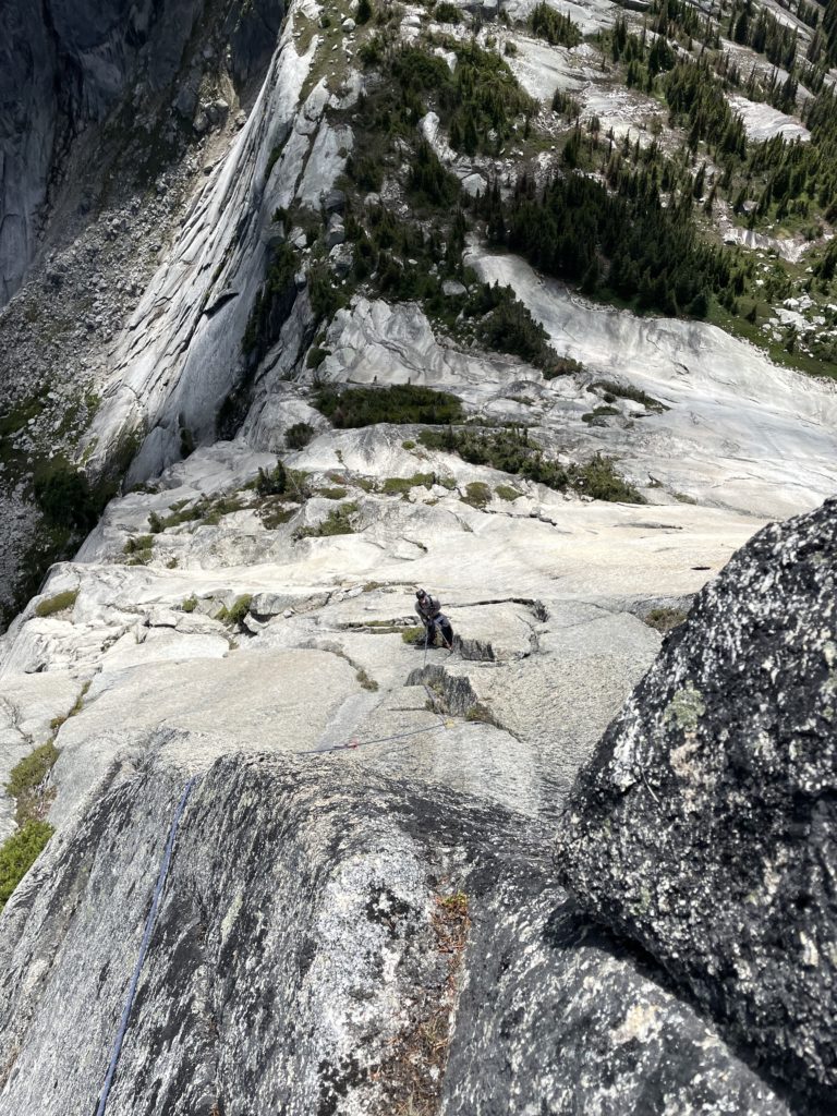
I pondered again where to go, and after some discussion with Geoff, a bushy corner to my right seemed the best. Again, I excavated some holds and pulled a strenuous undercling move to mantle into the corner system to my right. From there I pulled on branches up and over a tree into a nice 5.7 corner. I belayed Geoff up from here and apologized for all the faff.
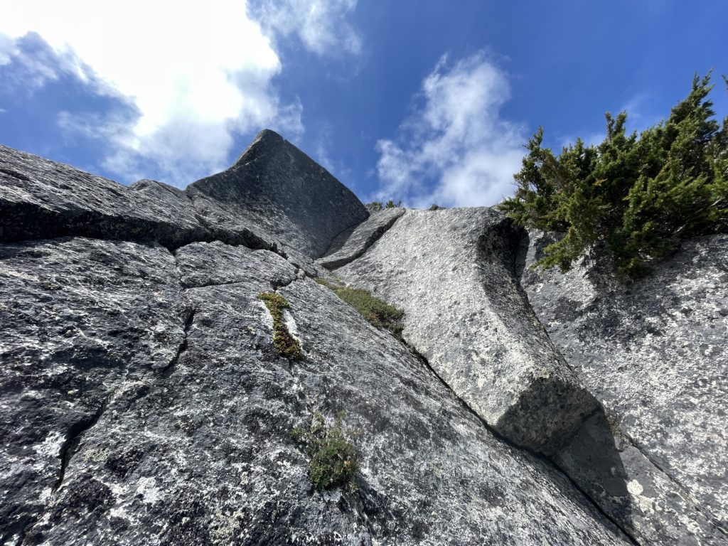
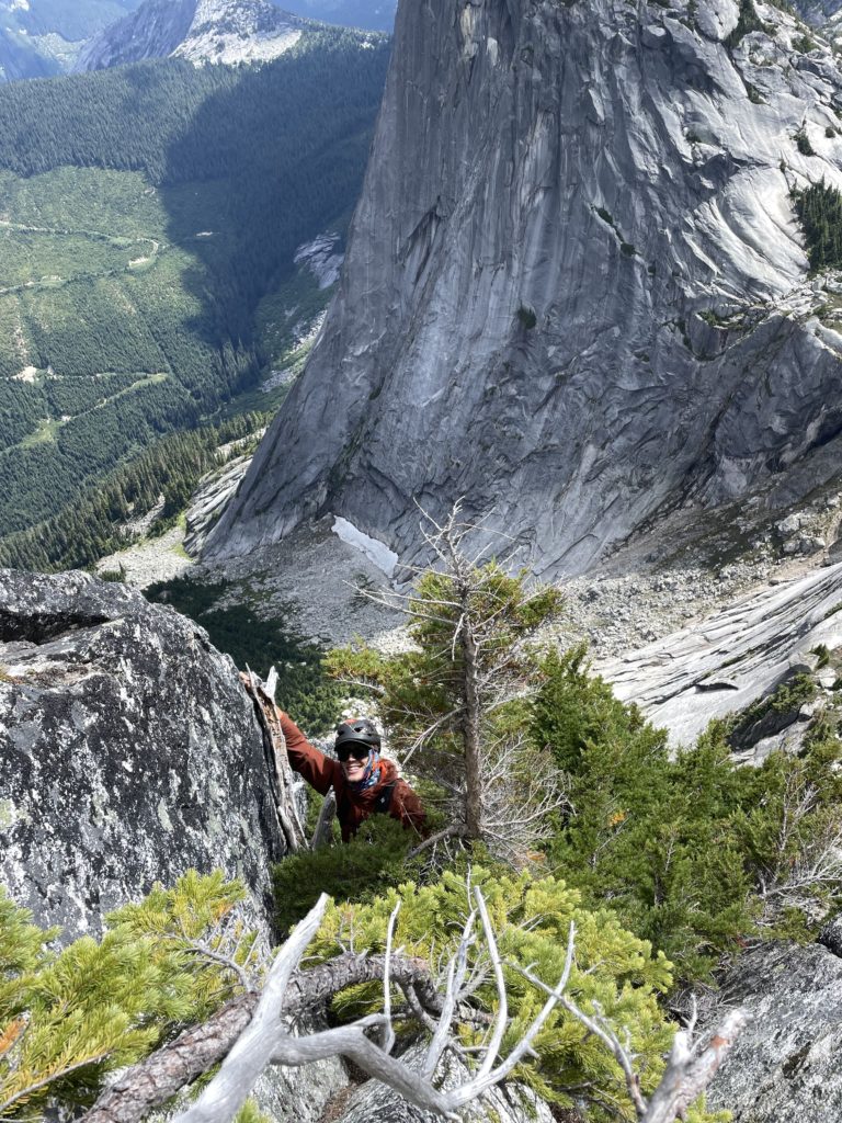
Geoff lead a nice pitch up the corner and then out onto cracks up the east face. I followed and thoroughly enjoyed this pitch with a good option of nice finger cracks and chill climbing.
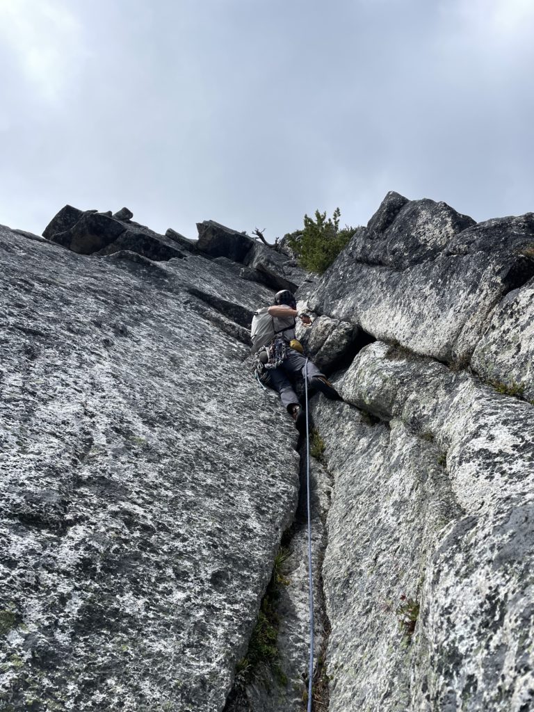
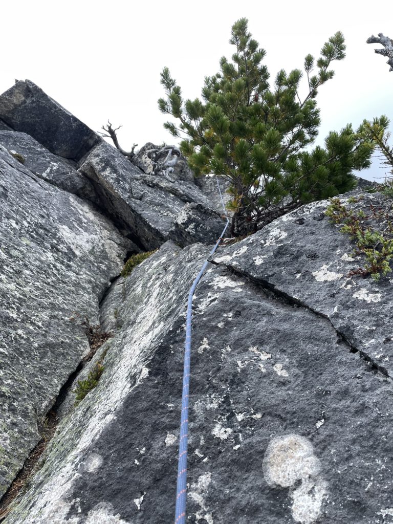
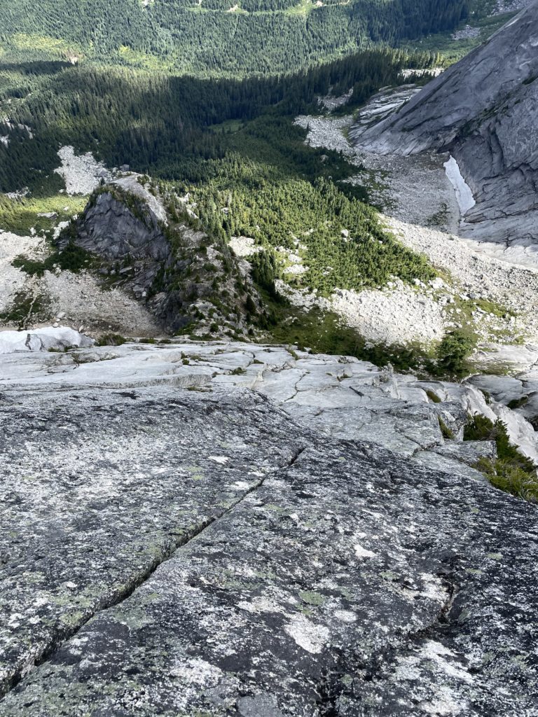
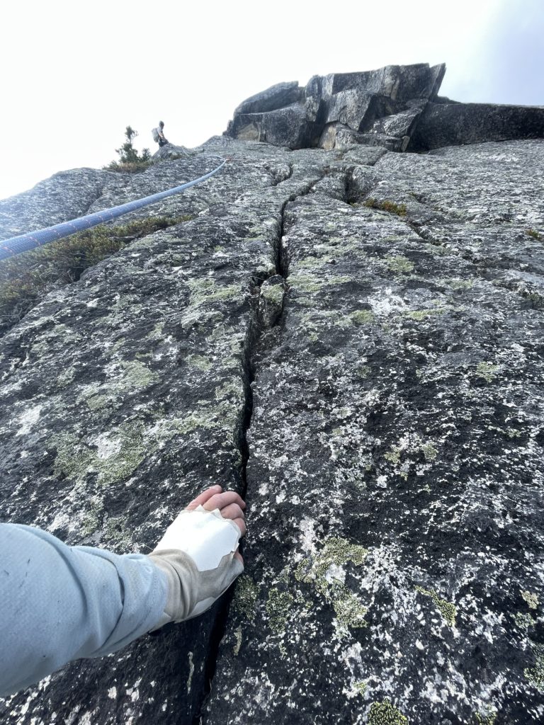
I swung leads next for what we figured would be the final pitch. I climbed up through a series of easy bulges and then reached a final slab crux below the base of the summit. It appeared I could swing out left and just scramble up, but the slab looked to enticing not to climb. Unfortunately, all I could find was a hollow sounding flake to place a #1 totem on a ledge below. Nonetheless, I started up the slab, brushing away lichen where my feet would need to go. After one meter of thin feet placements I was out of the hardest part and climbed up to the remainder of the slab and onto the summit.
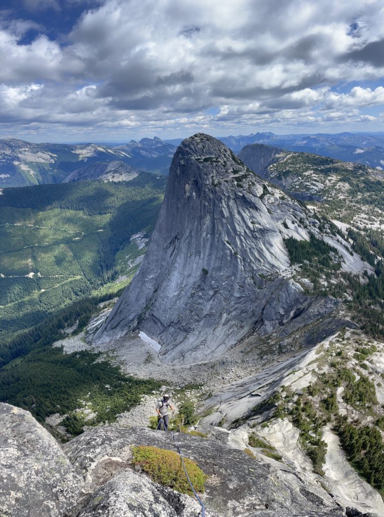
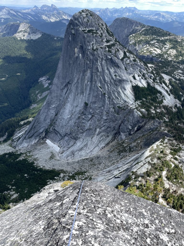
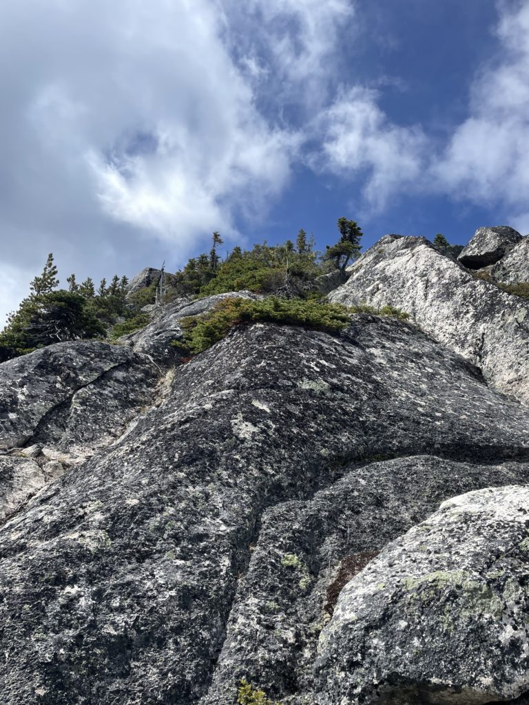
Geoff came up shortly after and we celebrated on top. Looking around the area greatly reminded me of Tuolumne Meadows in Yosemite. I wondered if some day this might make for an amazing provincial park complete with a network of moderate hiking trails and endless climbing opportunities. It seems all but a small selection of hikers, climbers and logging companies know about these wonderful granite peaks though.
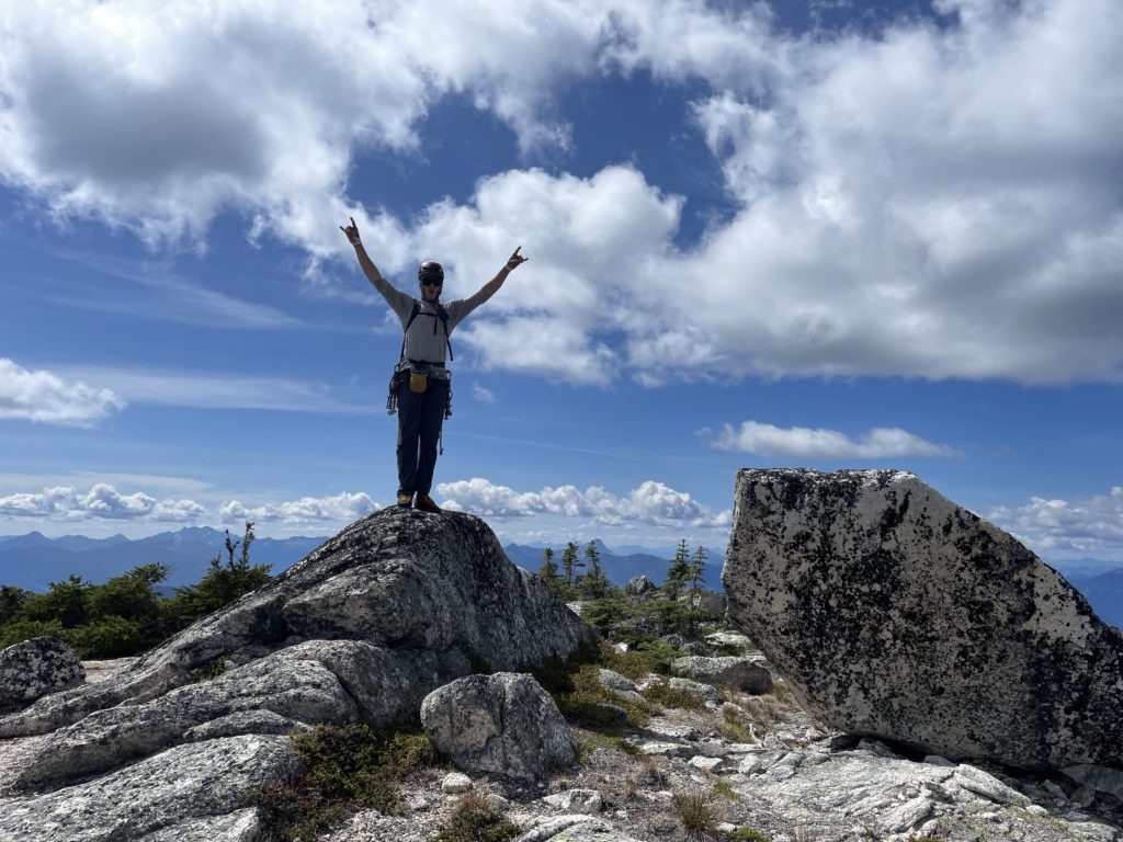
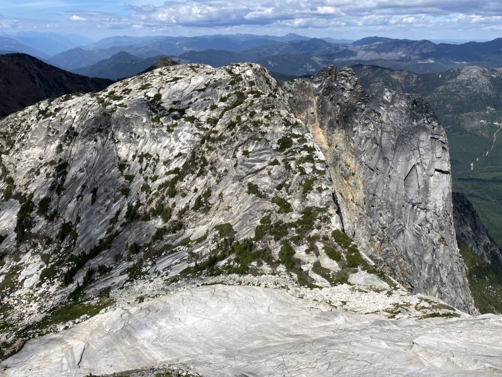
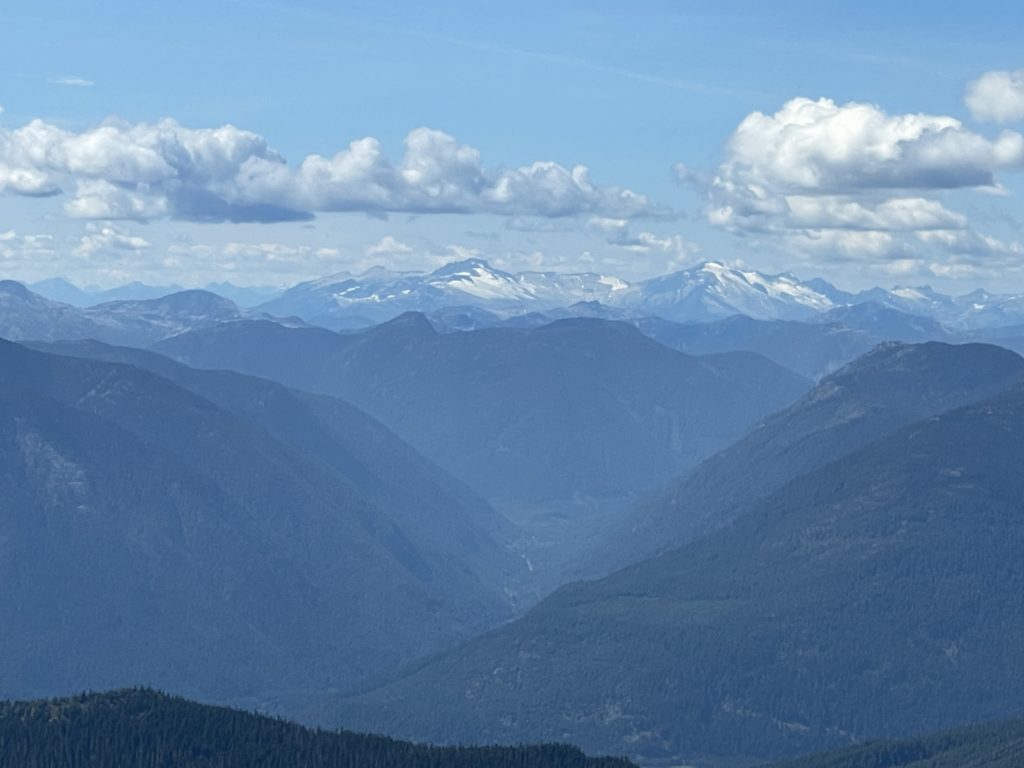
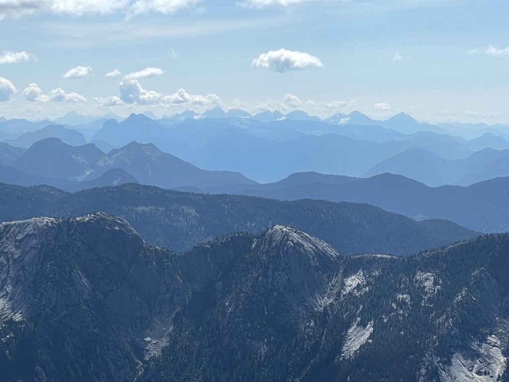
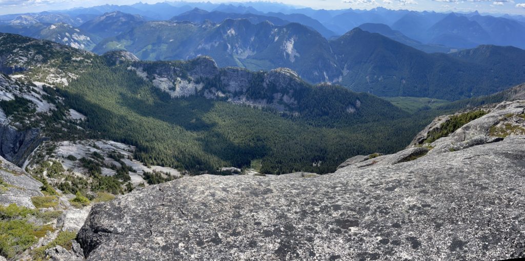
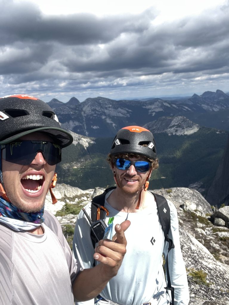
Once we had our fill, Geoff grabbed a rope end and started scrambling down the south east side to find our first rappel station. He located it about 25m from the ridge top and I followed down after finishing packing up. A solid looking tree with some new-ish rap tat got us about 30m down to the base of our last pitch. There a slung block with some 5mm cord made for our next station. I wasn’t super keen on old 5mm cord, so Geoff backed it up and then I lead the next rappel. This took me to a small 4″ tree with another 5mm cord. I tested the tree thoroughly and it didn’t budge so reluctantly clipped in. Unfortunately our rope didn’t reach the sturdier tree just 10m below. We replaced the old, partially compromised, 5mm cord with new webbing and I rappelled to the tree below. I had spotted an old sling in there on our second pitch so aimed for that first. When I got there, the tree looked mediocre and the sling was super old. I figured there must be a more popular station somewhere below, so lowered further down. Out skier’s left I spotted a slung horn with a rap ring and aimed for that.
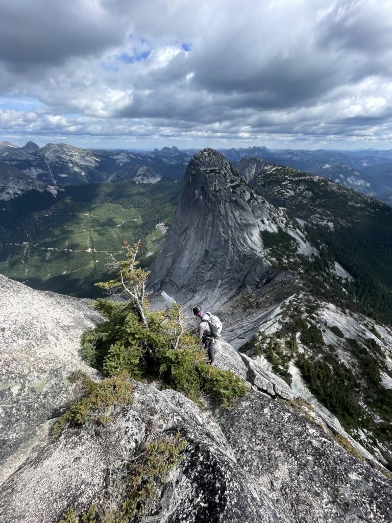
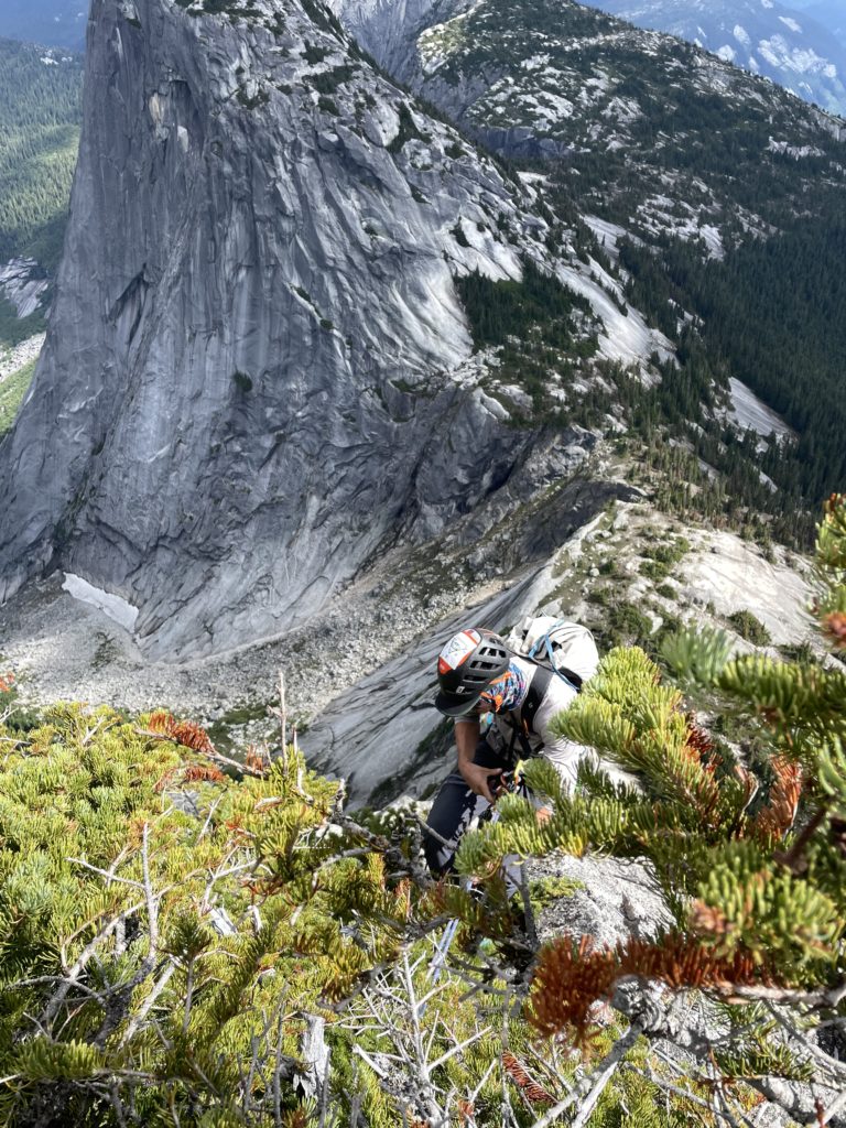
Once at the station I realized it wasn’t as great as it first looked. When fully weighted there’s not much chance for the sling to slip off, but the angle of the horn was not as confidence inspiring as I would have liked. Geoff rappelled next and we decided to back up the sling with a cam while I rappelled and Geoff could monitor the cord to see if the rappel risked pulling it off. I lowered down for rappel #4 and made it to a perfect slingable block, but found no evidence of previous rappels. Then just a touch further down I spotted more rappel tat and headed for that. Unfortunately, when I arrived, now 10m below the perfect block above, I discovered a terrible station. A cord and webbing barely resting around a sloping horn with a constriction just two millimetres thin enough to hold the cord in place. A stretched cord might very well slip through. I backed it up with a nut, and clipped in. I called out to Geoff to just use the block above and then I could attach to the rope lower down and rappel from my stance instead.
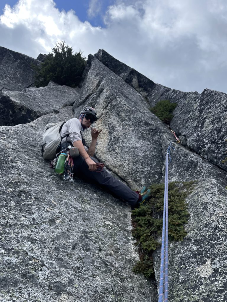
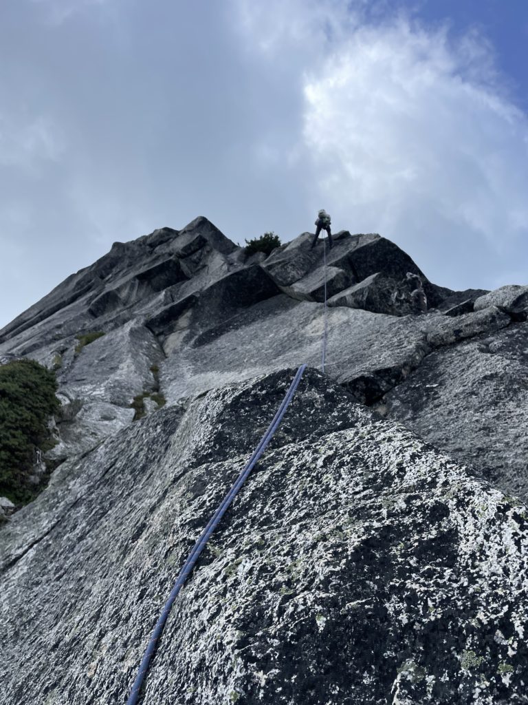
Geoff used a nice triple length sling and rappelled past me attaching a chain of draws to the rope so I could grab it after. I then lowered off after removing all the old rappel tat. This 5th rappel landed us on the upper ledge that we had first climbed up to and so we traversed over to a block of stout looking trees. As it turned out most of them shifted under weight so we faffed around for awhile until finding a sound looking station. In the mean time I got to work with Geoff’s knife cleaning up all the old anchors strewn about. We did a sixth and final rappel and then one small section of downclimbing got us back to terra firma. After a quick jaunt across the col we arrived back at our gear.
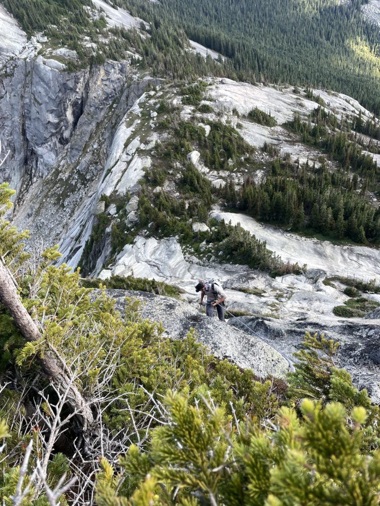
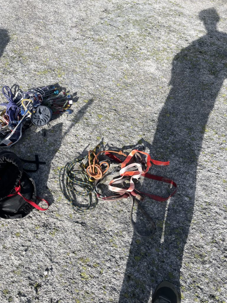
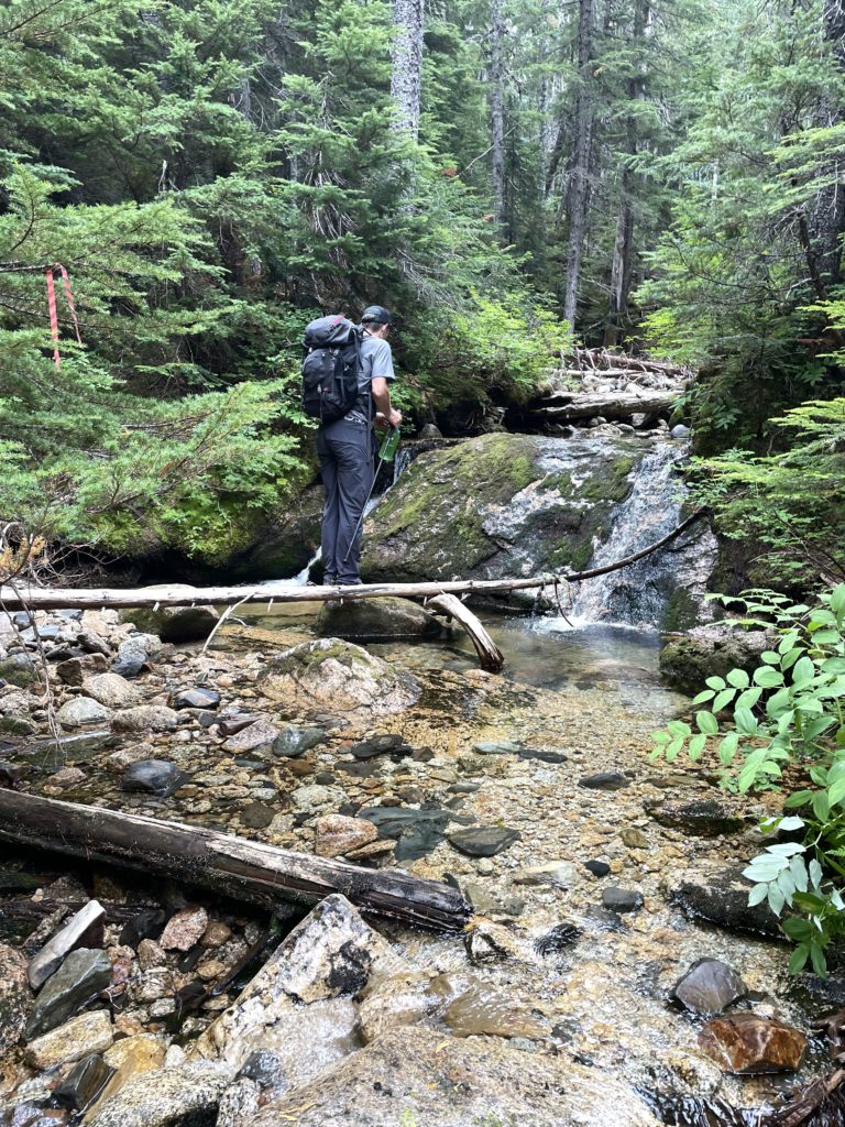
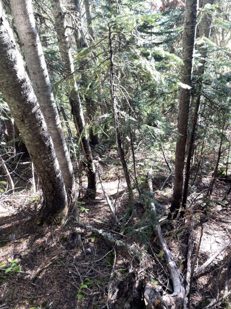
Now there’s nothing left to do but bushwhack back to our bikes. We made good time through the forest sticking close to the drainage system until we reached the cut block. Geoff lead us boulder hopping through the creek for a fun, but short section and then back up into the less steep forest. Once back at the cut block we decided to follow the road system all the way down, if only to have a track for someone else to use. This involved a great deal of alder dodging, but was not as challenging as it would have first appeared. Unfortunately, we missed a turn off one of the spur roads and got spat out about 600m east of our bike stash. A short open road walk reunited us with our bikes though and we were soon letting gravity handle the rest of the days work.We arrived back at the Anderson River bridge after 30 minutes on the bikes and that finished up an excellent adventure and first outing in the area.
Both Geoff and I found the rock to be good, but not great and if the route cleans up the climbing would be quite stellar. In typical obscure alpine route fashion, excavation for pro and holds is required and the route is not always clear. The rappel stations also leave something to be desired. With a bit more searching I think there’s enough slingable blocks around to avoid these tiny tree stations. I think the big limiting factor is the approach. Not many people will be keen to bushwack for 4km to get 6 pitches of climbing, but that too might change with enough foot traffic. If you’re not deterred by the approach I say go get this one!
