
Elevation Gain: 3,383m
Distance: 35.89km
Total Time: 33 hours (across two days)
Date: March 18th, 2023
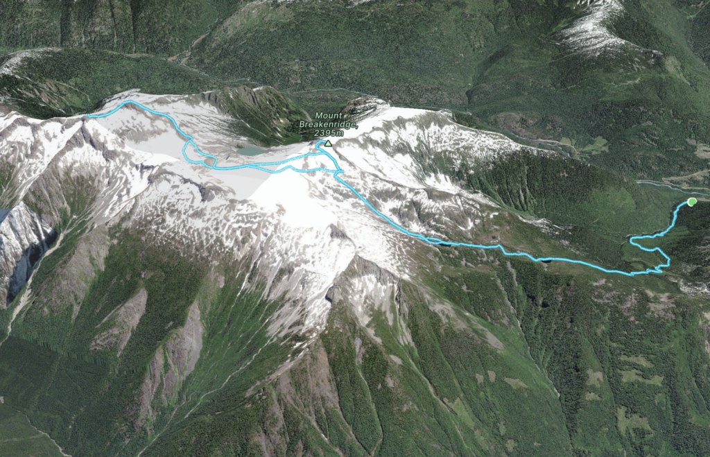
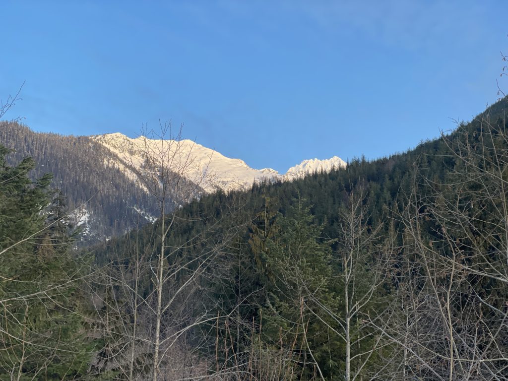
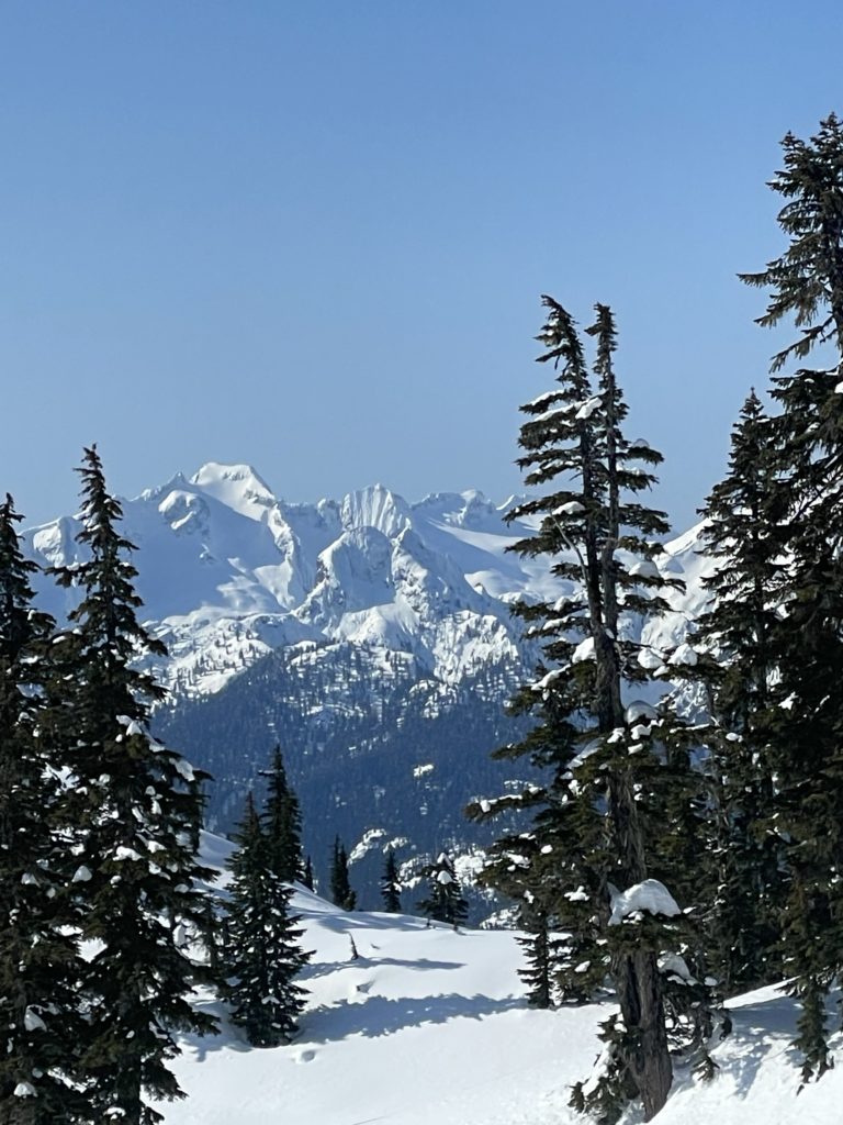
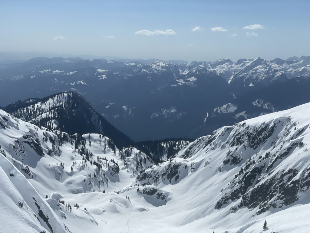
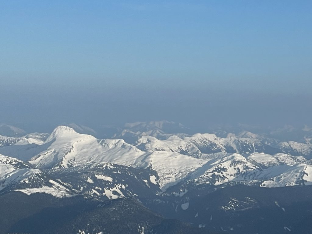
Mount Breakenridge is the highly visible and prominent summit at the north end of Harrison Lake. It rises over 2300m above the lake where a multi-kilometer snow/ice field rests on its broad summit flanks. Hidden further beyond on the north end of this ice field is Traverse Peak, a higher and yet much less known summit. Both of these summits came onto my radar in 2021 when Steven, Vlad and the midnight crew made an ascent.
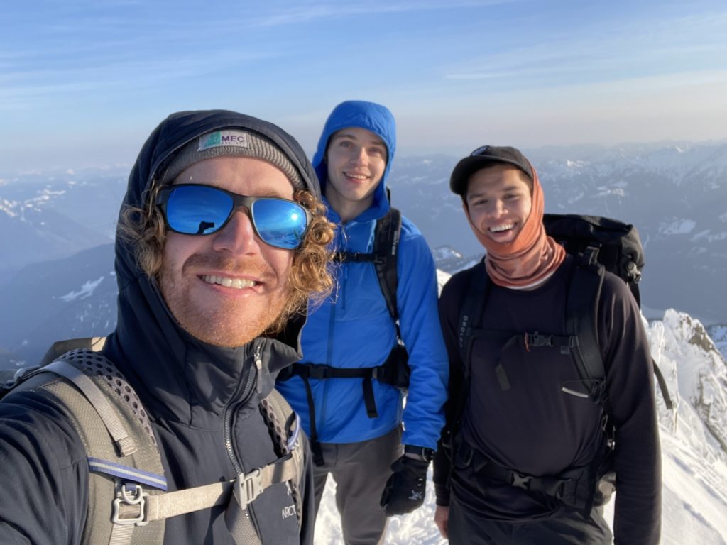
Coming into the start of spring 2 years later, I was really longing for a remote adventure somewhere; something reminiscent of my trip to the Fire Spires. That’s when I remembered Steven’s trip and figured the coming weekend was the perfect time to try. We’d be going about a month earlier than they did, which meant more filled in creeks but also some uncertainty about service road access. Thankfully a quick consult of the most recent satellite snapshots proved that we’d make it all the way to the normal trail head without issue. Joining me on this trip would be Brayden and Alex and we’d do overnight style to split up the long journey and take in the remote scenery.
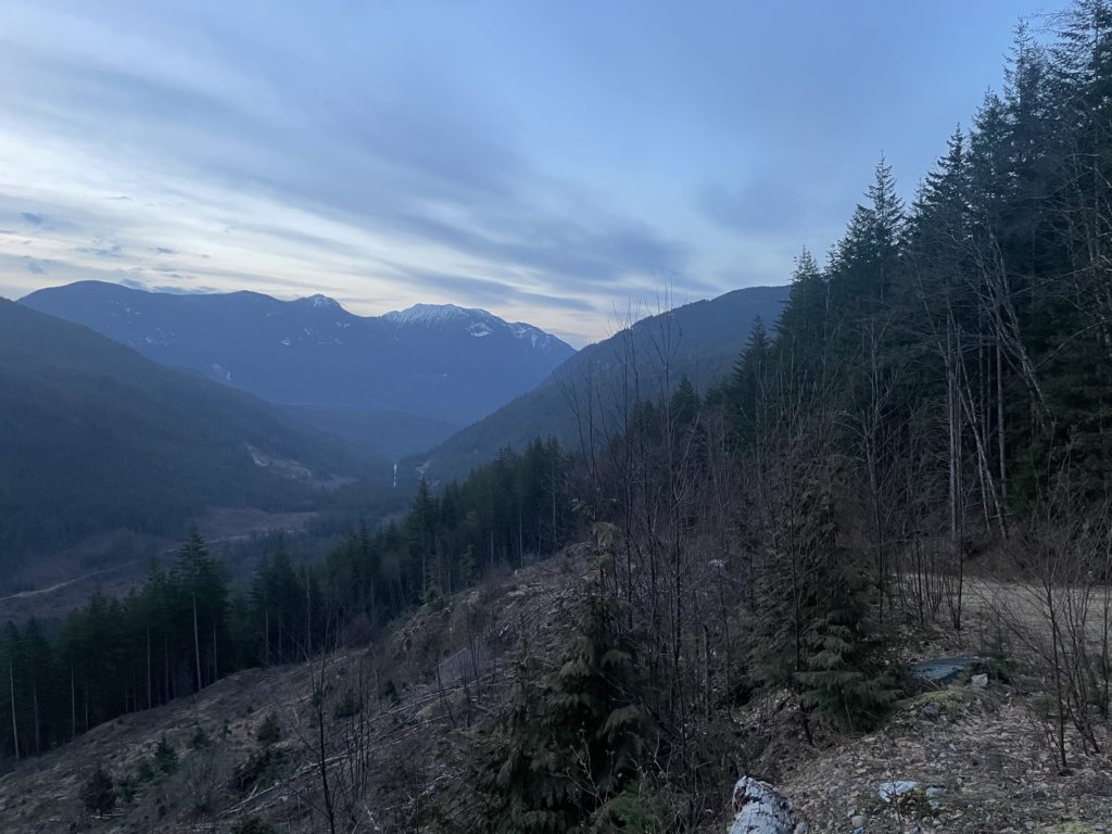
Alex and I set off from Vancouver around 3:30am on Saturday and met Brayden in Agassiz. From there were cruised down the smooth and snow free Harrison East FSR to the English Creek FSR turn off around kilometer 42. The drive up English Creek FSR was actually not too bad and we made it to the normal parking area for Breakenridge with relative ease in the truck. Steven had mentioned that one could drive further in if so inclined but it looked quite overgrown further beyond so we skipped out.
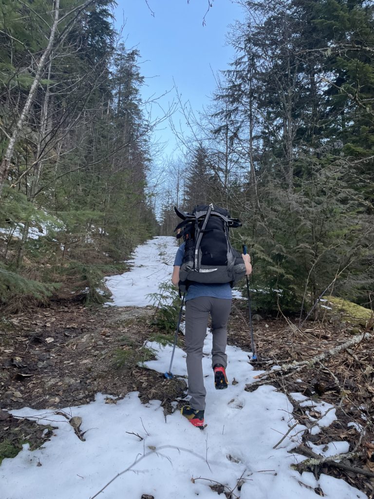
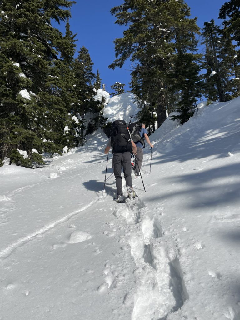
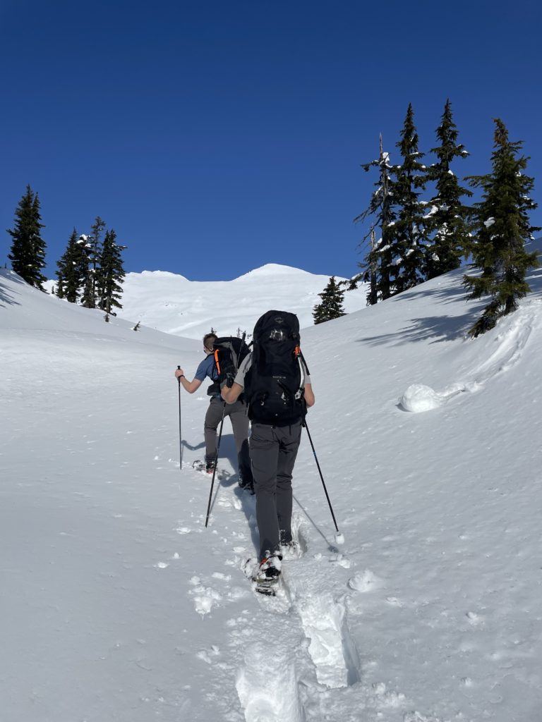
We set off on the road just before 7:30am and reached snow only 300m later. However the conditions were firm and we managed to walk in almost 2km before finally transitioning to snow shoes. Once on snowshoes we dispatched with the remainder of the long winding FSR section with relative ease. There were numerous junctions and spur roads along the route so having the GPS and offline satellite imagery was a major asset.
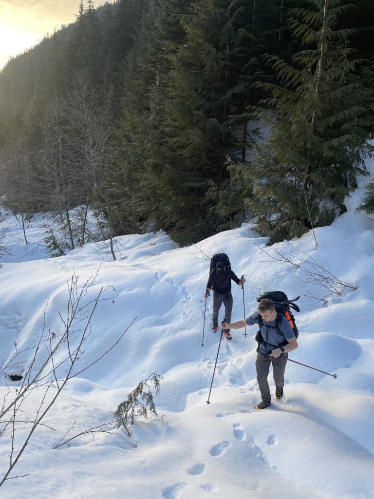
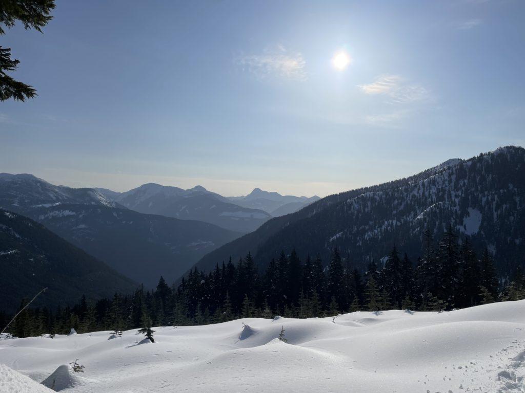
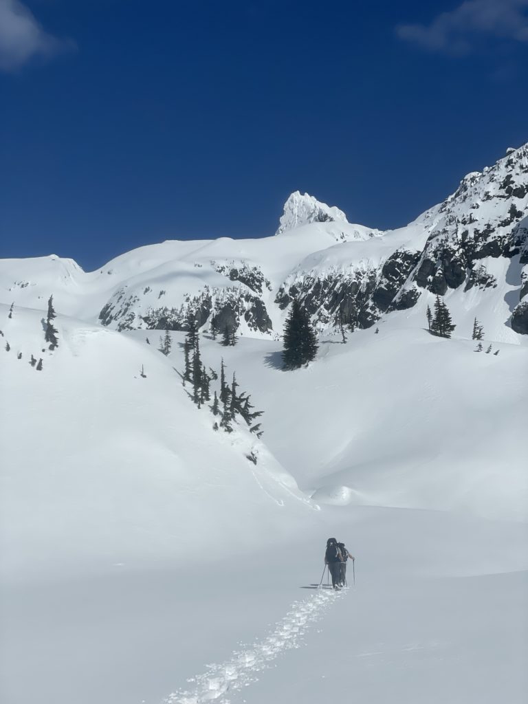
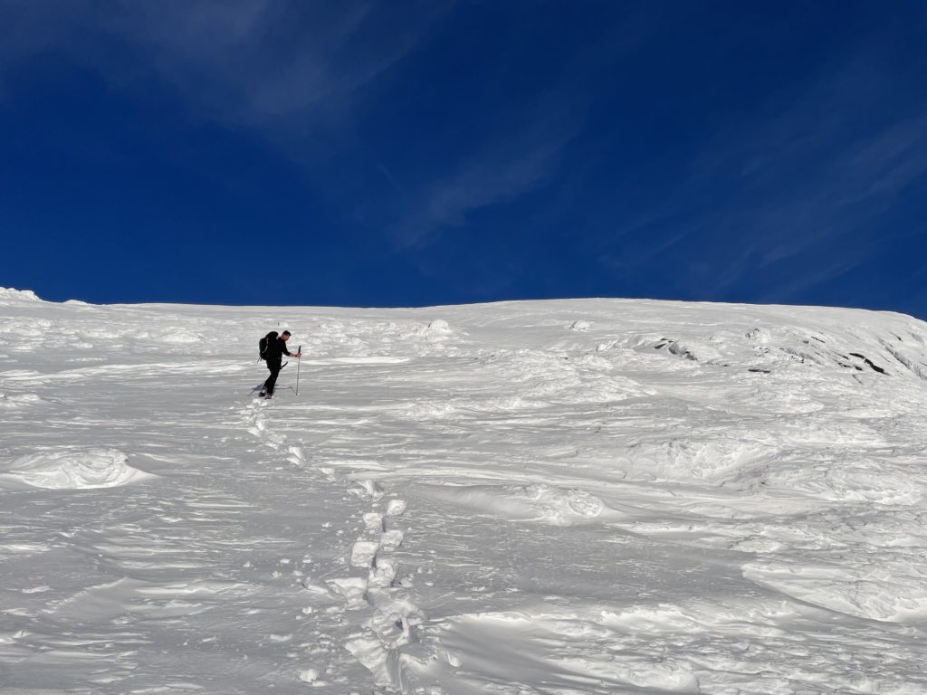
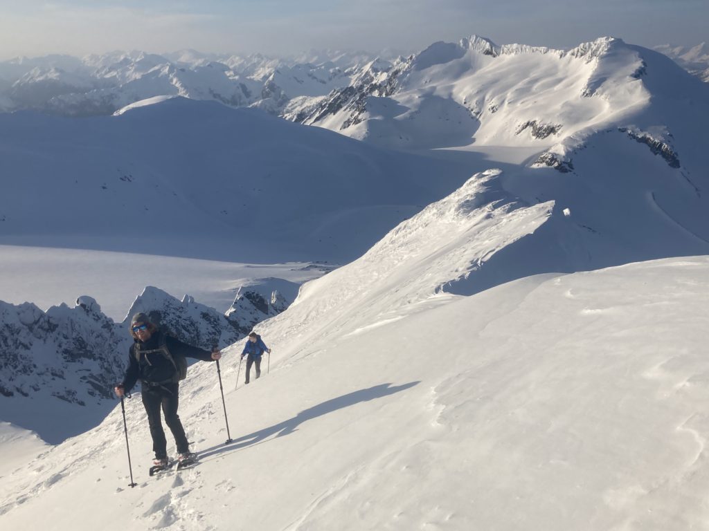
At around 1140m in elevation we reached the end of the last cut block and started a long traverse up and over a forested ridge. The forest was relatively easy to navigate, however there were a few significantly steep bluffs that we managed to avoid by some luck. By this time the sun was out in full force too and the snow was getting wet and heavy. Nonetheless, we made good progress and soon reached the first lake at the start of the alpine.
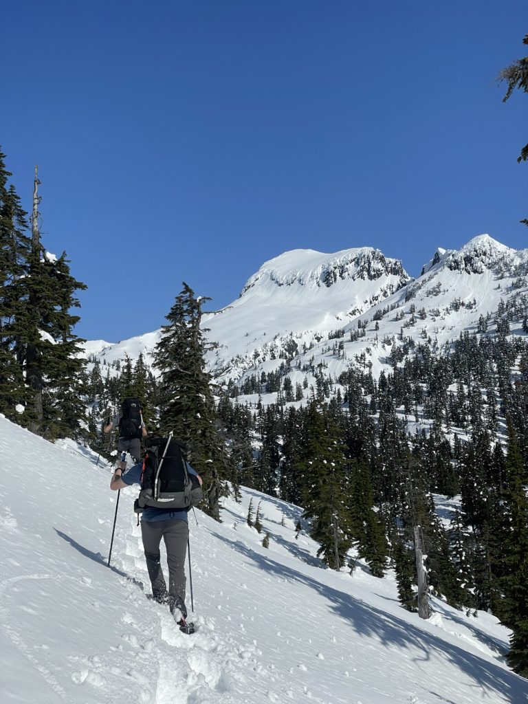
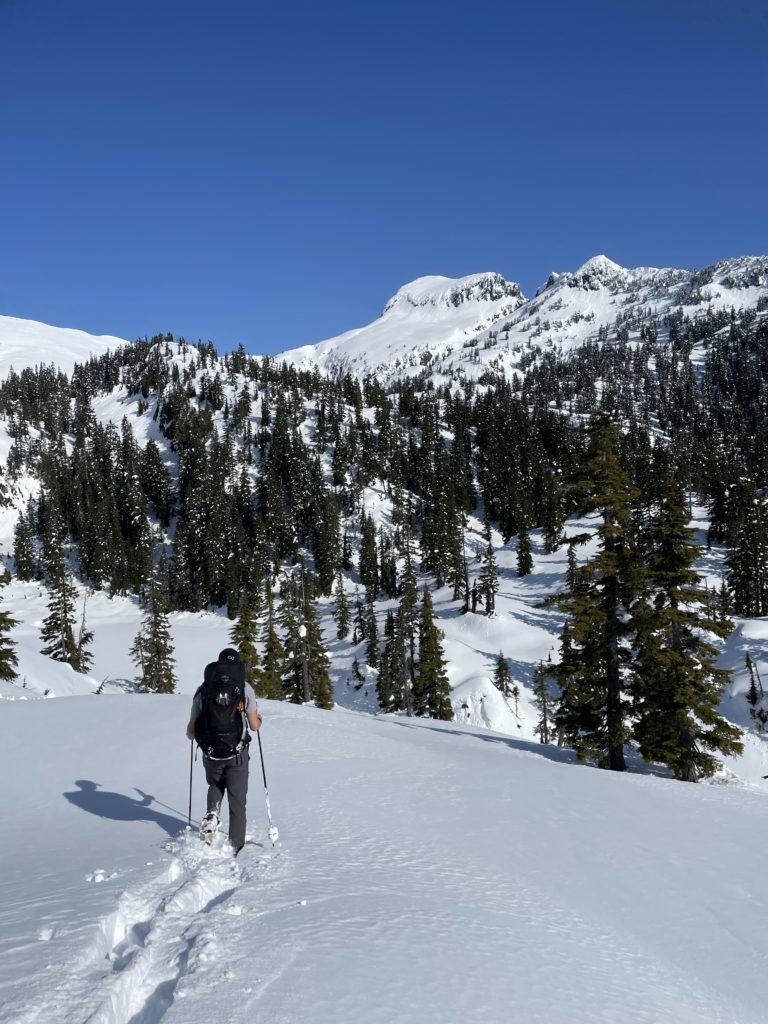
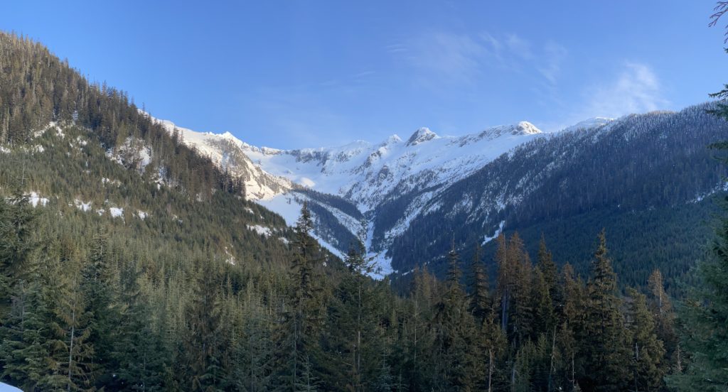
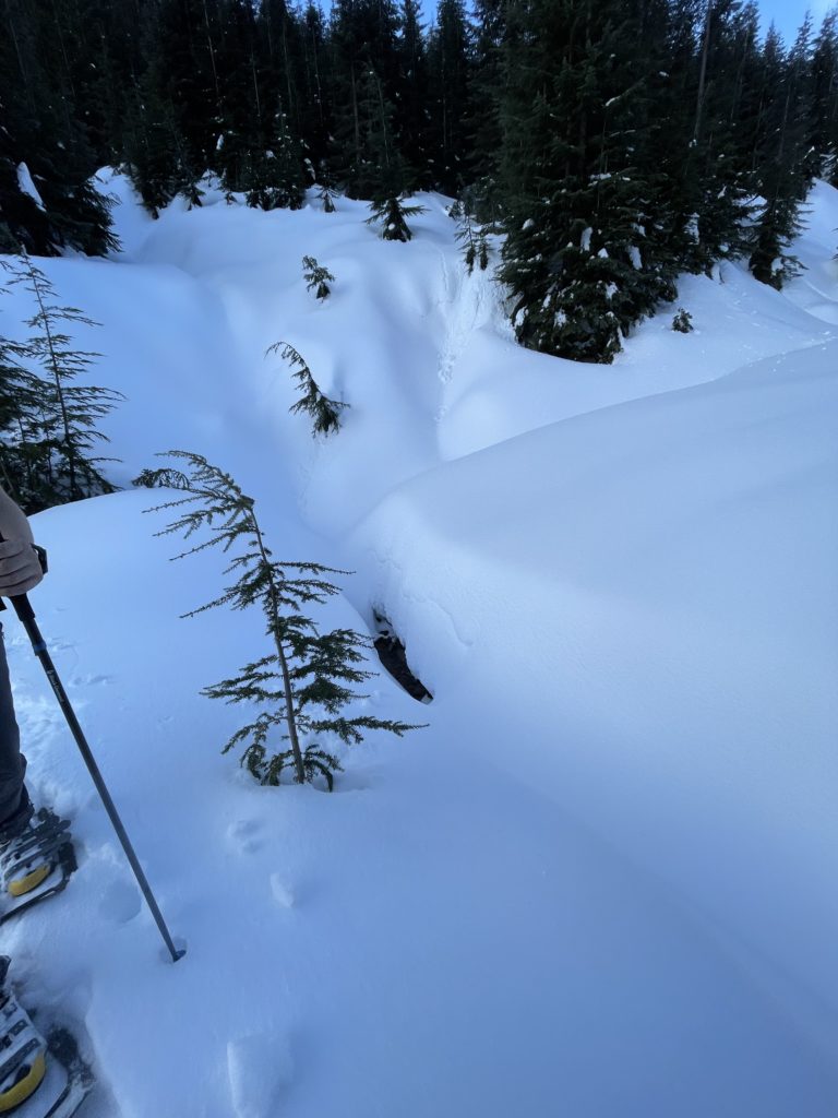
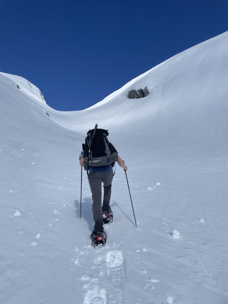
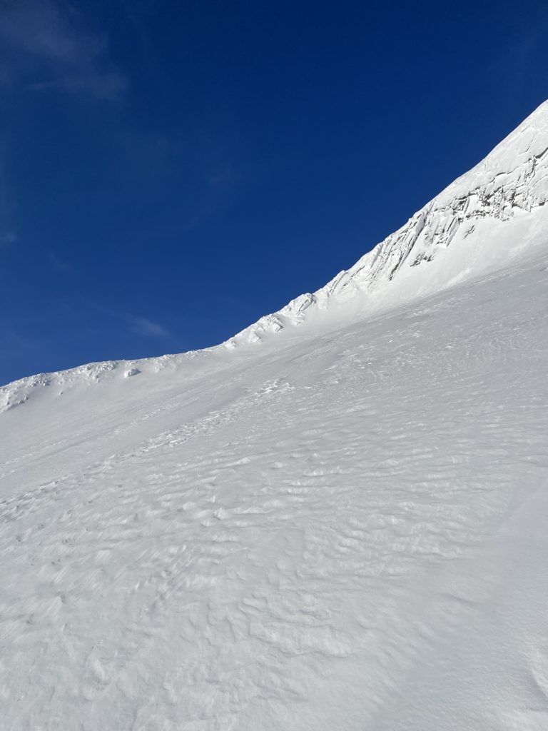
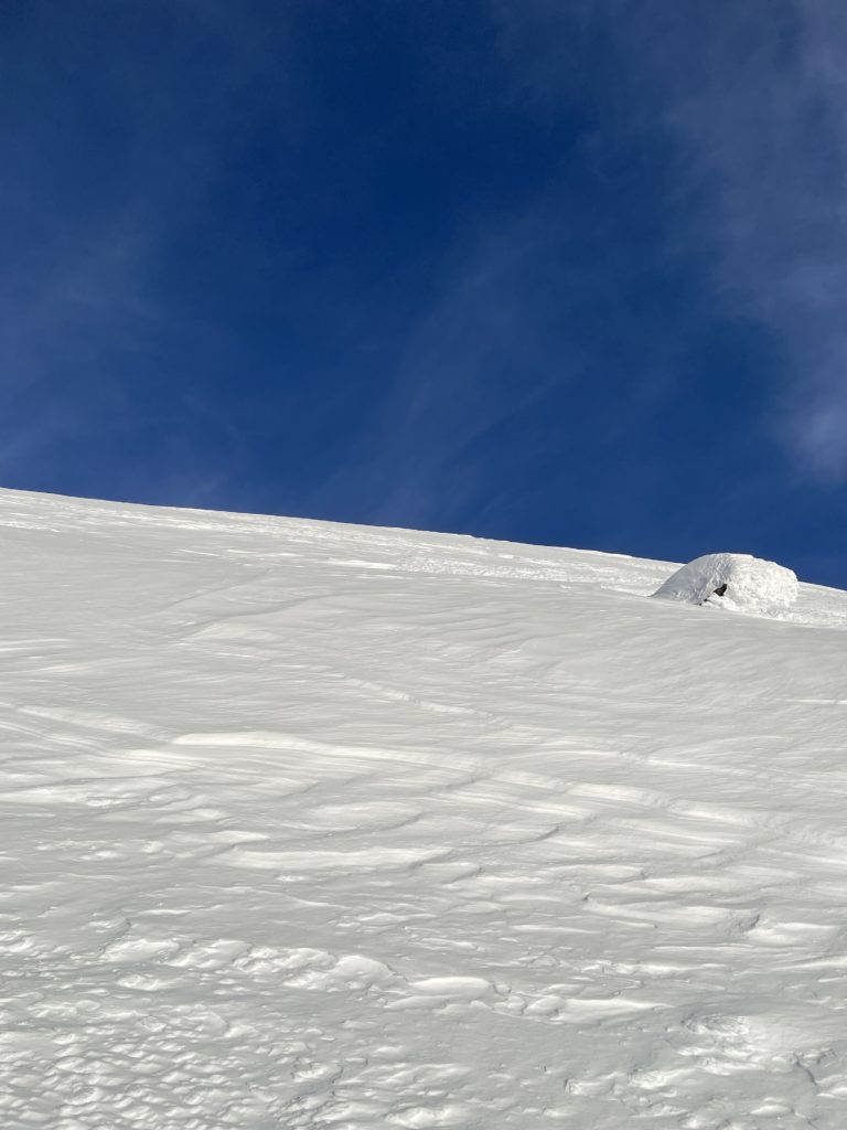
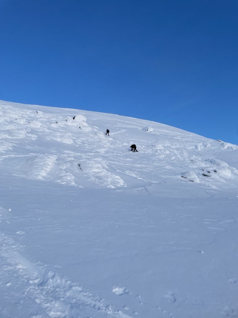
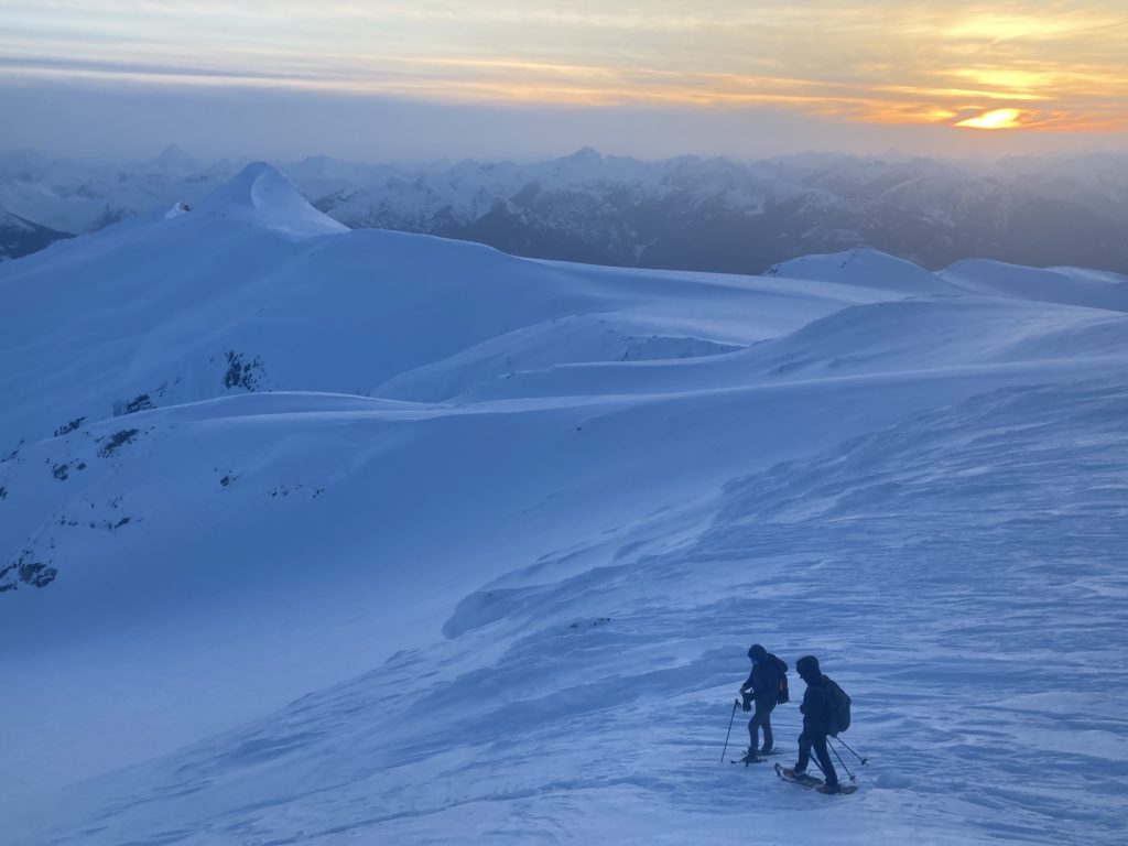
Unfortunately, it’s a long drop down to the lake and then another steep slog to regain the ridge on the other side. We pushed through this section and navigated over a few more frozen tarns before reaching the entrance to a large gully system. Above we could see the route Steven took and it looked a bit intimidating with the current snow conditions. There was quite a bit of warming in the snow pack as the sun beat down on us relentlessly. However, we only noticed instabilities on the steepest slopes so we trudged up to the base and found still firm and safe conditions.
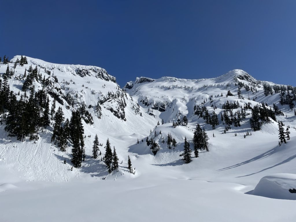
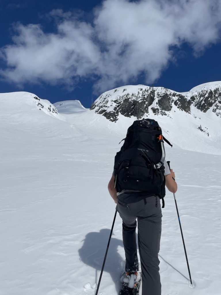
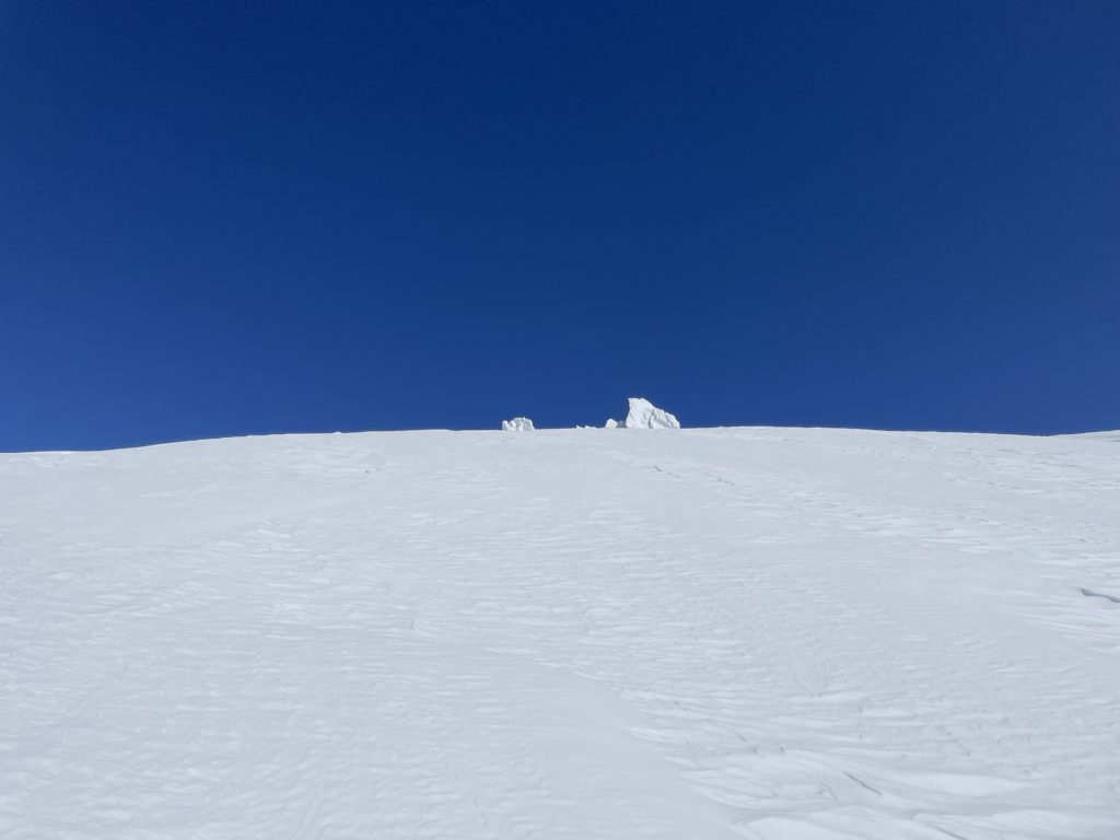
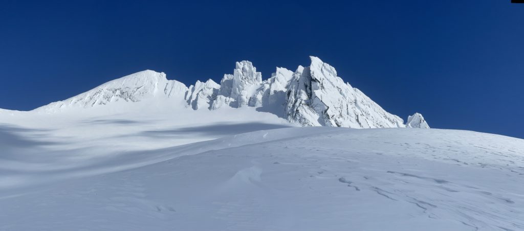
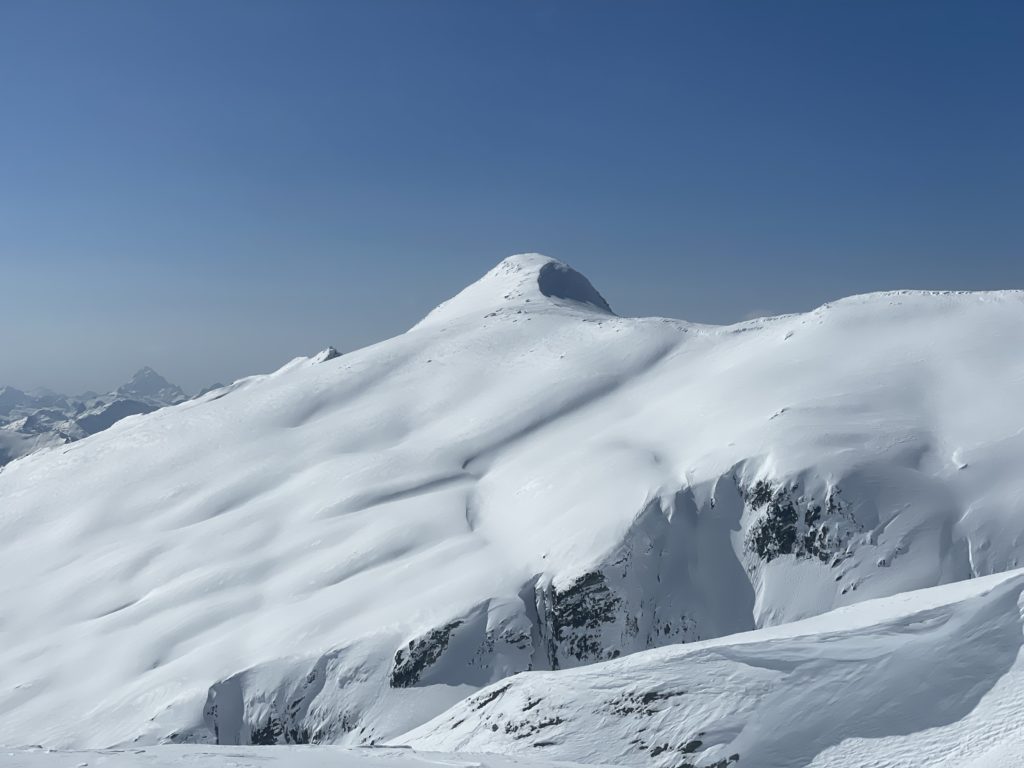
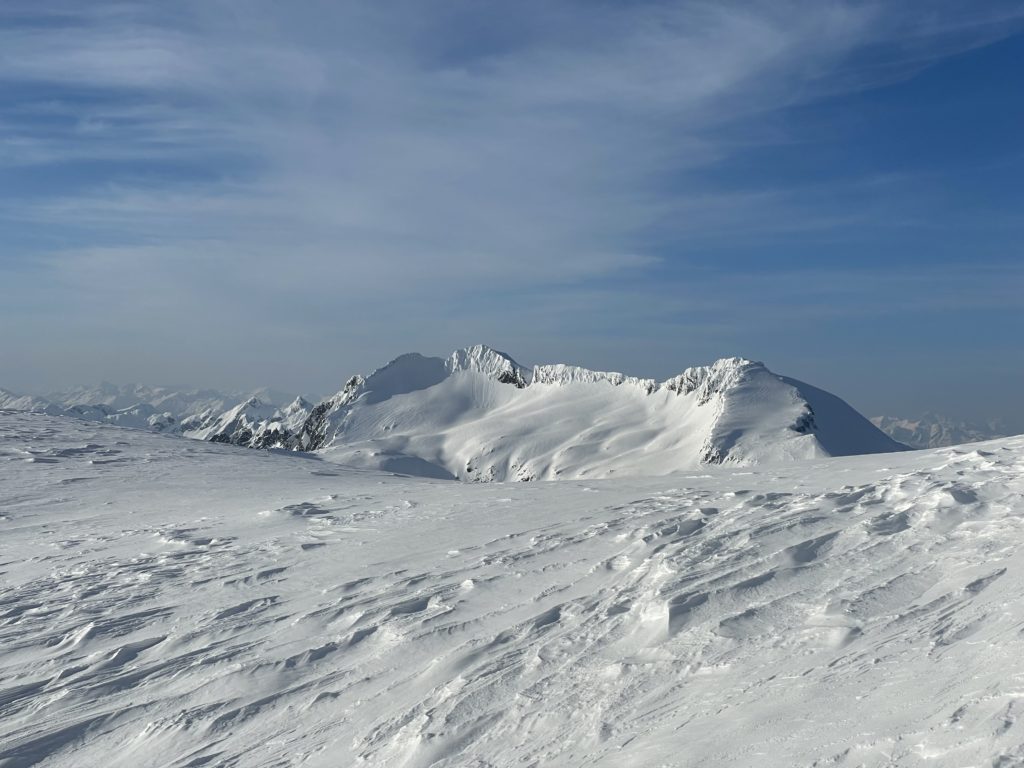
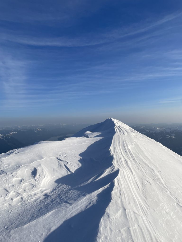
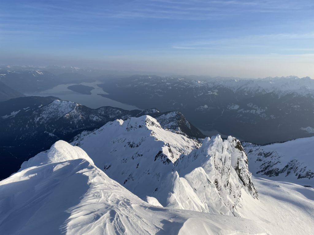
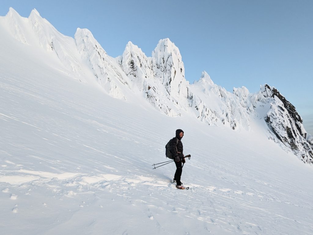
With that, we pressed up under the melting sun. By 2PM with almost 500m of elevation gain from the base we topped out above the gully at last. Now finally visible was the true summit of Breakenridge. A broken ridge of over-hanging rime covered spires that looked impossible to surmount. It’s perhaps only by chance that the true summit is the one section of this jagged ridge line that has a moderate snow slope to gain the top.
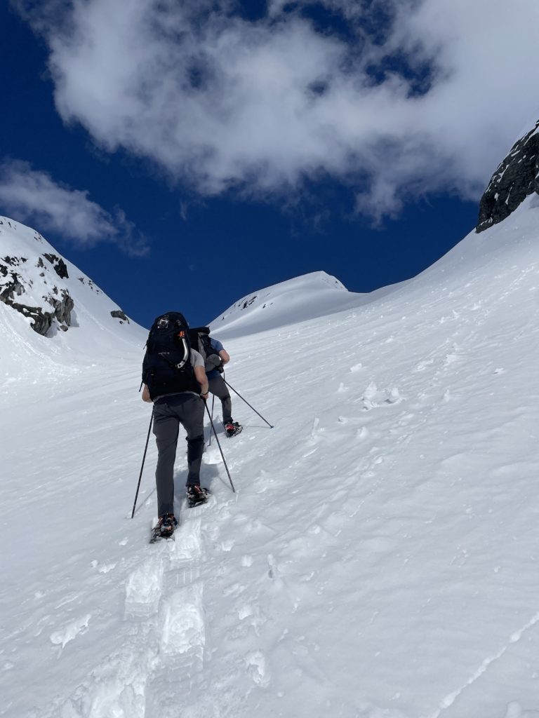
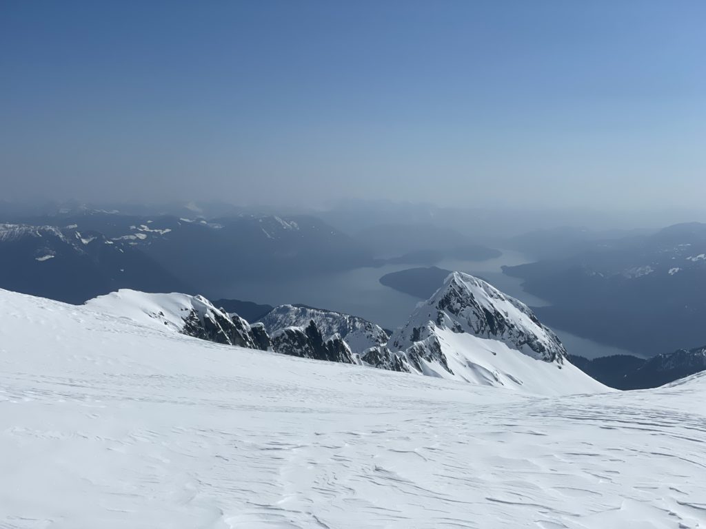
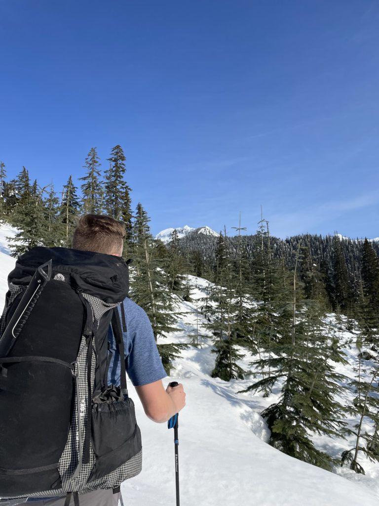
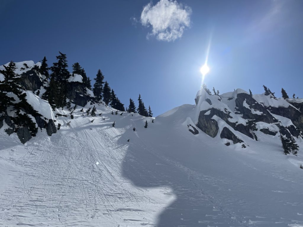
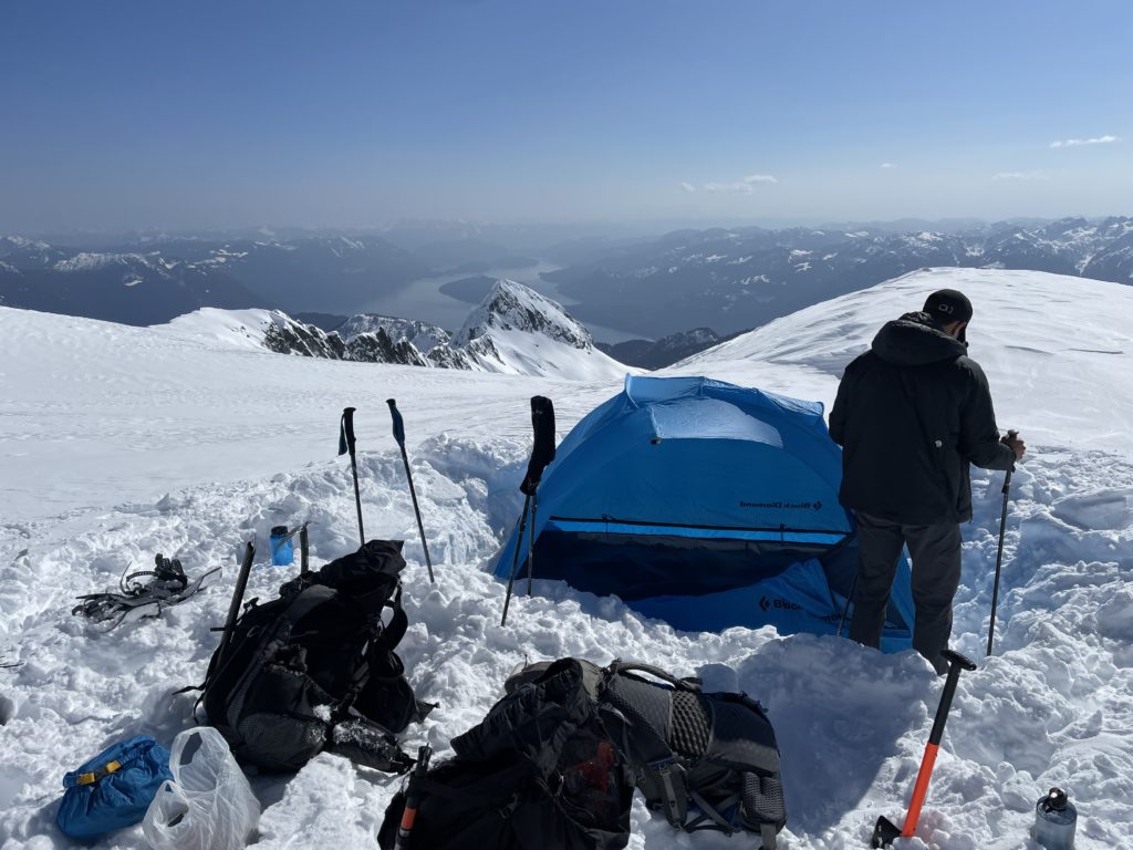
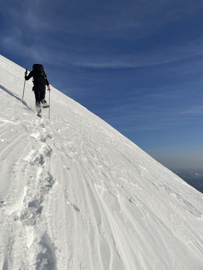
After taking in the scenery, we set up camp, ate some food and napped out under the sun. Once 5:30pm rolled around we geared up and set off the final push to the summit in the hopes of timing the sunset. A short traverse across the remainder of the south bowl above our camp landed us underneath the final slope to the top. It was heavily wind scoured and steep in places, but maybe 35 degrees at most. Brayden lead the charge to the top and then we followed the arete like ridge to the to the end. We arrived a full 45 minutes before sunset, but we were committed to the cause so hunkered down for a cold sunset party.

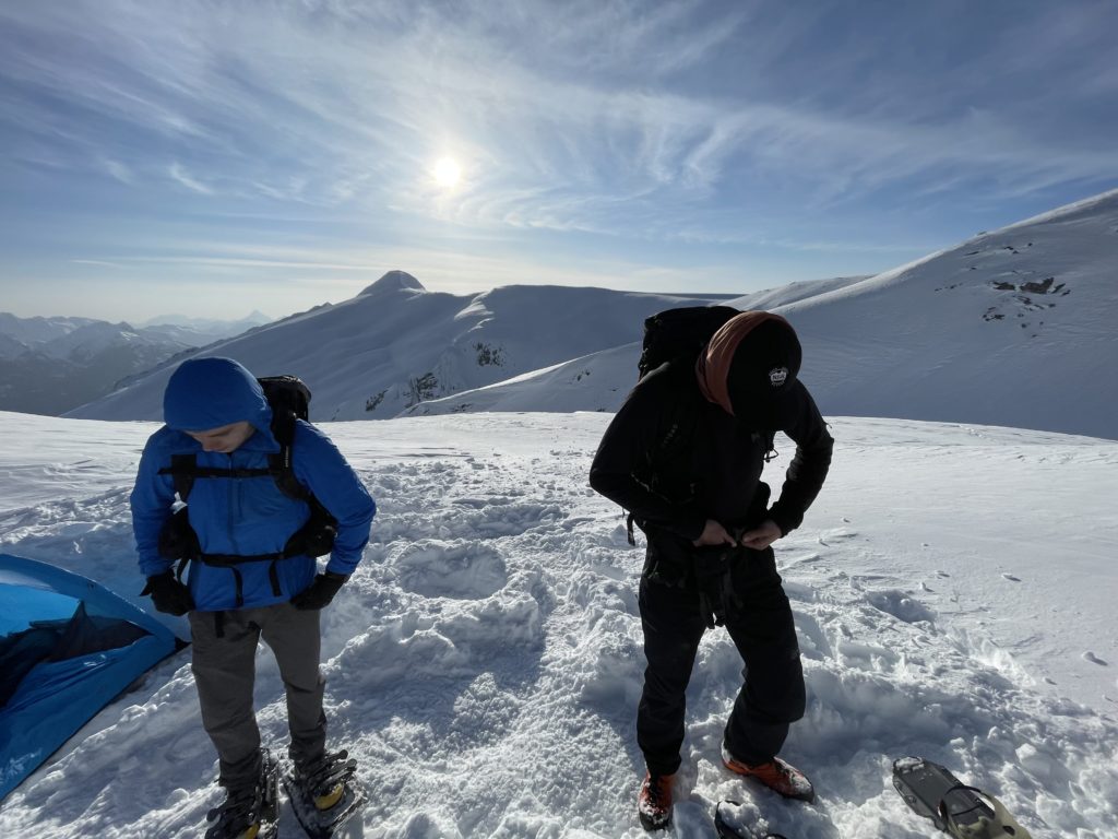
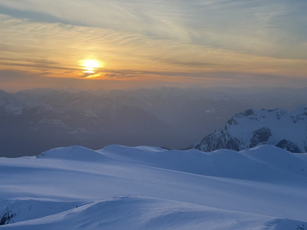
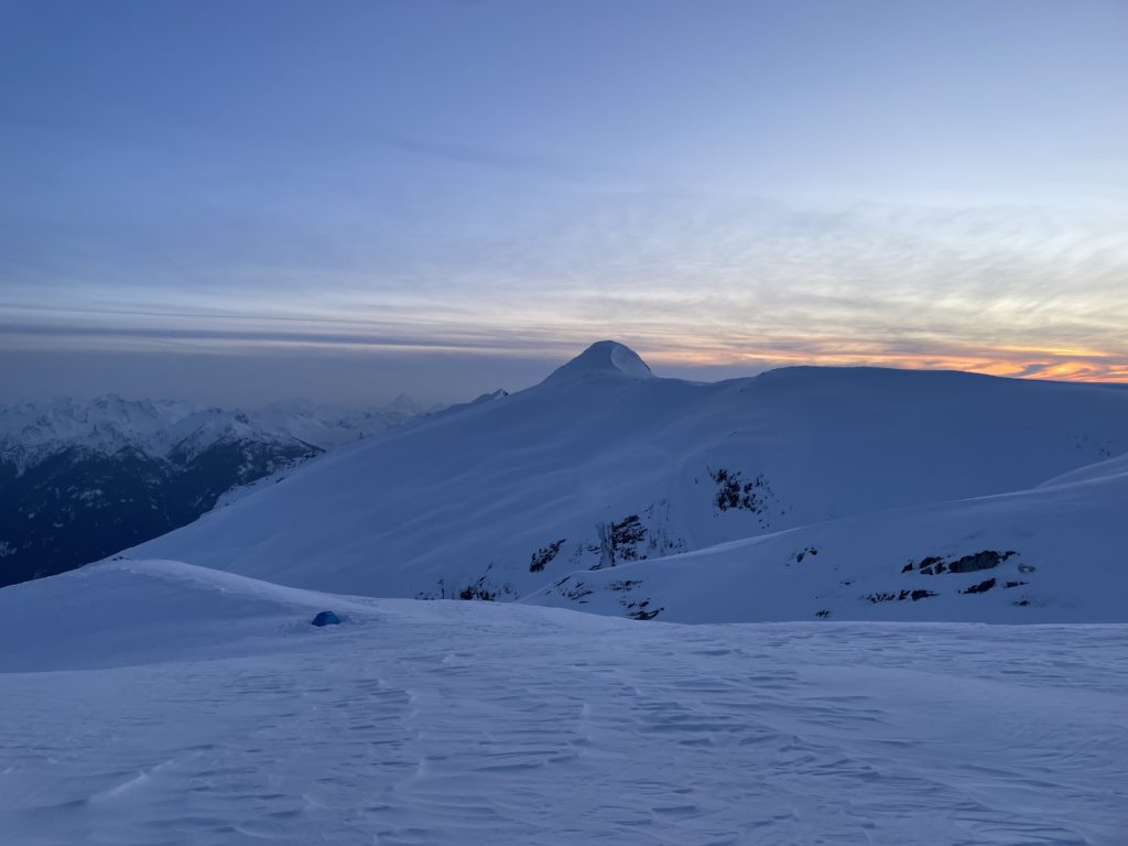
Once the sun parted ways with the sky, we made our way back to camp and settled in for the night. Our alarms were set for 6am to make the long trip to Traverse Peak.