(Stats include all 7 days)
Elevation Gain: 4,388m
Distance: 104.8km
Total Time: 7 days
Dates: Sept 3rd to 10th
For a long while it’s been a goal of mine to do a multi-day ridge traverse in some remote range in BC. I do most summits by a single day push, but I’ve often dreamt of doing a long ridge ramble as a means to access more remote objectives. My experience on multi day objectives was really only limited to 2-3 days with Mount Vayu being the longest self-supported trip to date. 3 days is really quite easy to handle, so I wanted to push it out to something like a week for a true test. When Andrea became aware of my goal she had the immediate suggestion to do a traverse of the South Chilcotins.
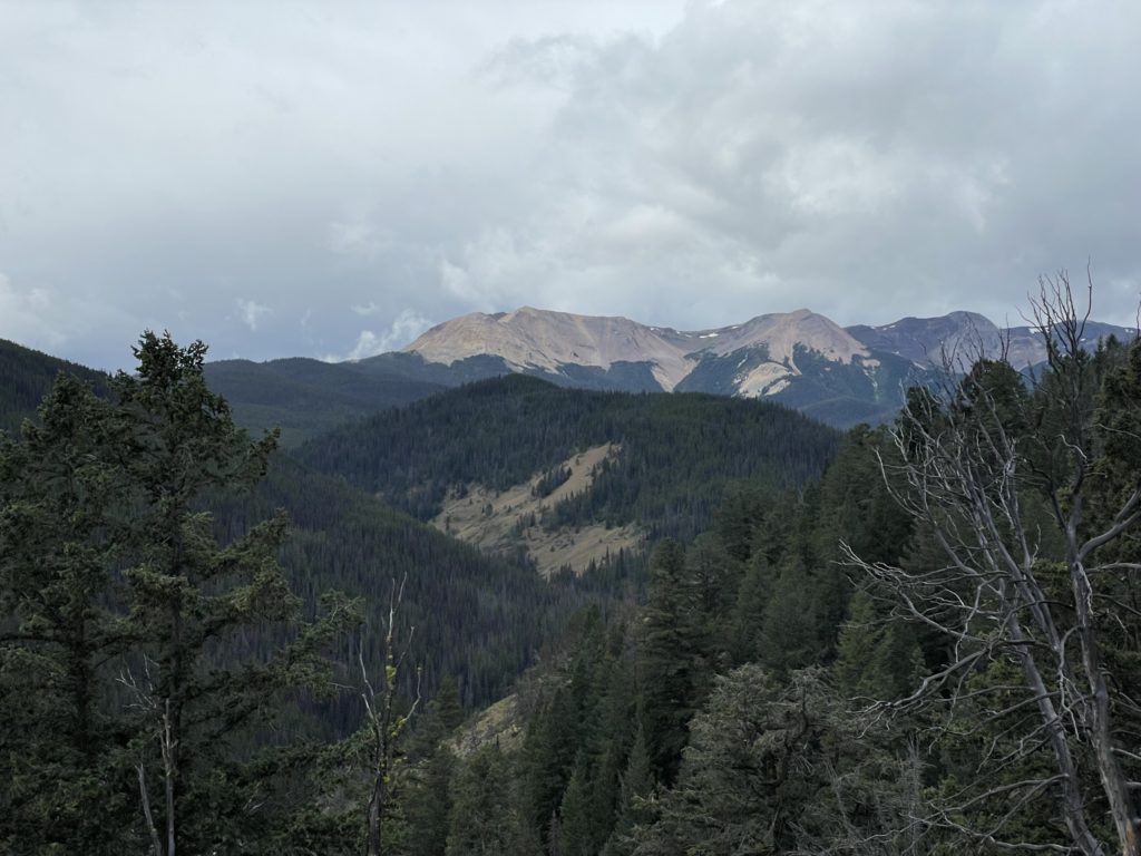
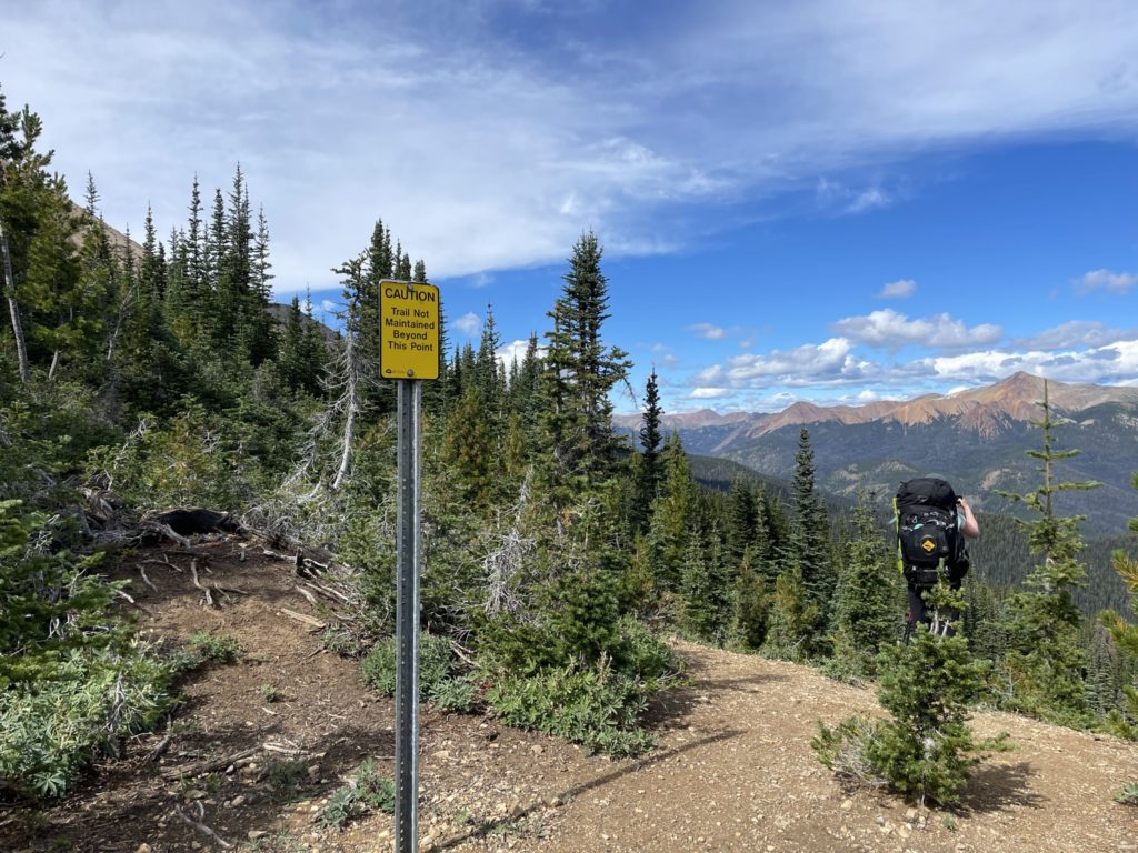
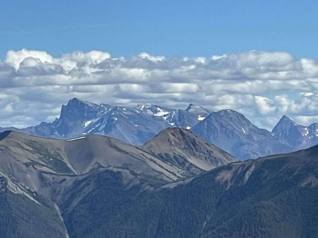
I had virtually no knowledge of this mountain range and quick search revealed multi-colour striated summits akin to the Peruvian Rainbow Mountain area. Despite its beauty, this range apparently receives few visitors, thanks mostly to it’s remoteness and likely long approaches to even hit the first summit. In most cases, the approach involves around 20km just to reach the ridge start for the more notable summits and even longer to reach the summits deeper in the park. Save for the most famous mountain in the park: Castle Peak, most peaks are a walk up and can be linked together through a long-running ridge system; making this a perfect multi-day traverse. I figured if I could do 7 days over tamer terrain, then I can use what I learn to try more advanced traverses later on. I was sold.
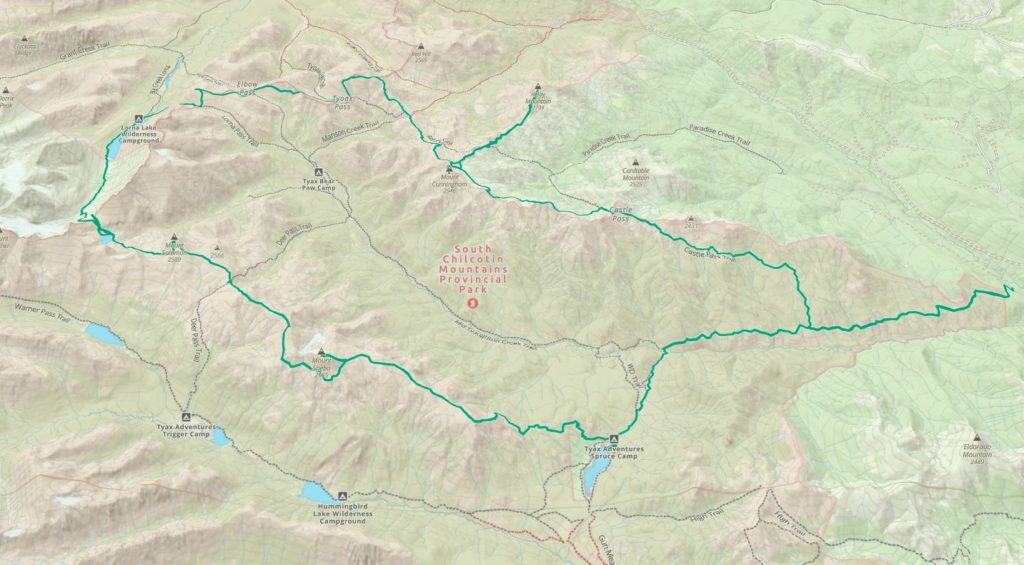
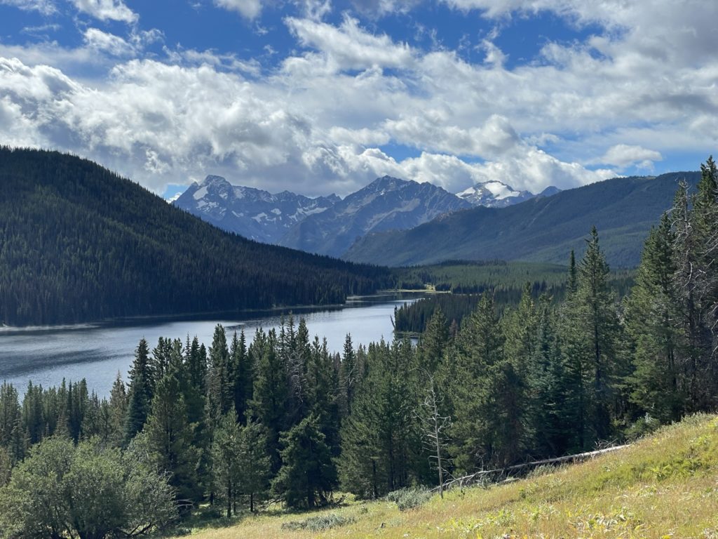
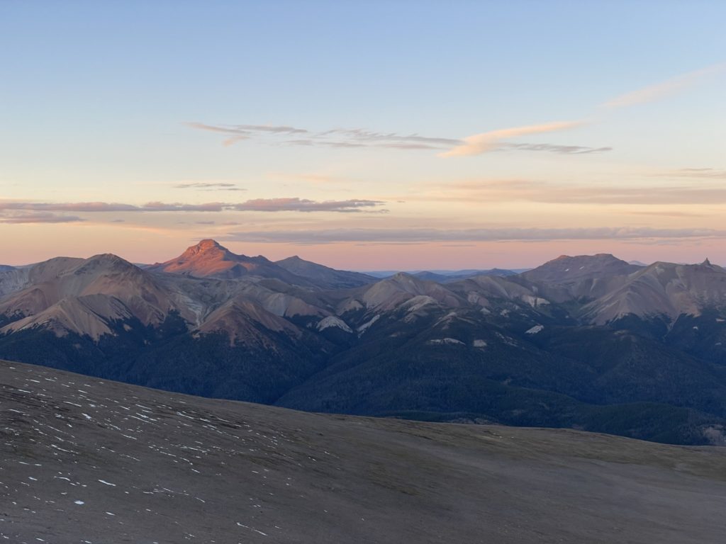
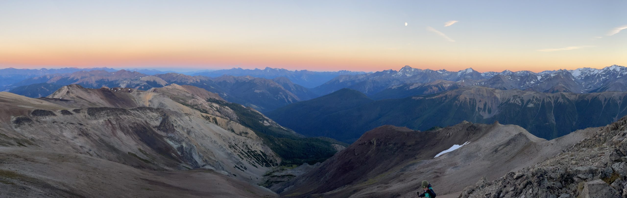
Andrea had been in the park in the previous year where she spotted two main summits she’d want to reach for the next trip: Mount Sheba and Mount Cunningham. Both peaks are across the valley from each other separated by deep forested valleys, making for a challenging link up. With 7 days to work with though, she set about creating a horse shoe traverse that would cover the entire northern end of the park; linking both goals together. The plan was, roughly, to traverse the Sheba ridge system up to Mount Sheba and then over to Mount Solomon. From there we would add an exploratory day to visit two apparently beautiful alpine lakes: Lizard Lake and Lorna Lake, before linking up with the ridge system on the north side of the park. We’d return east ward again to summit Mount Davidson and finally Mount Cunningham. The aim was really more towards doing a long ridge traverse and exploring the park, rather than tagging as many summits as possible, but we kept the plan flexible to add more summits as we saw fit.
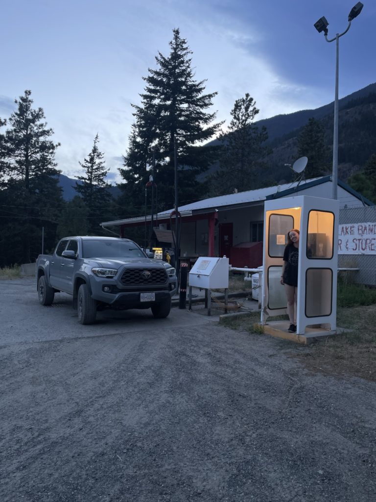
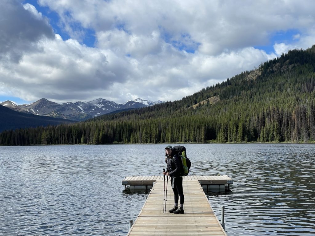
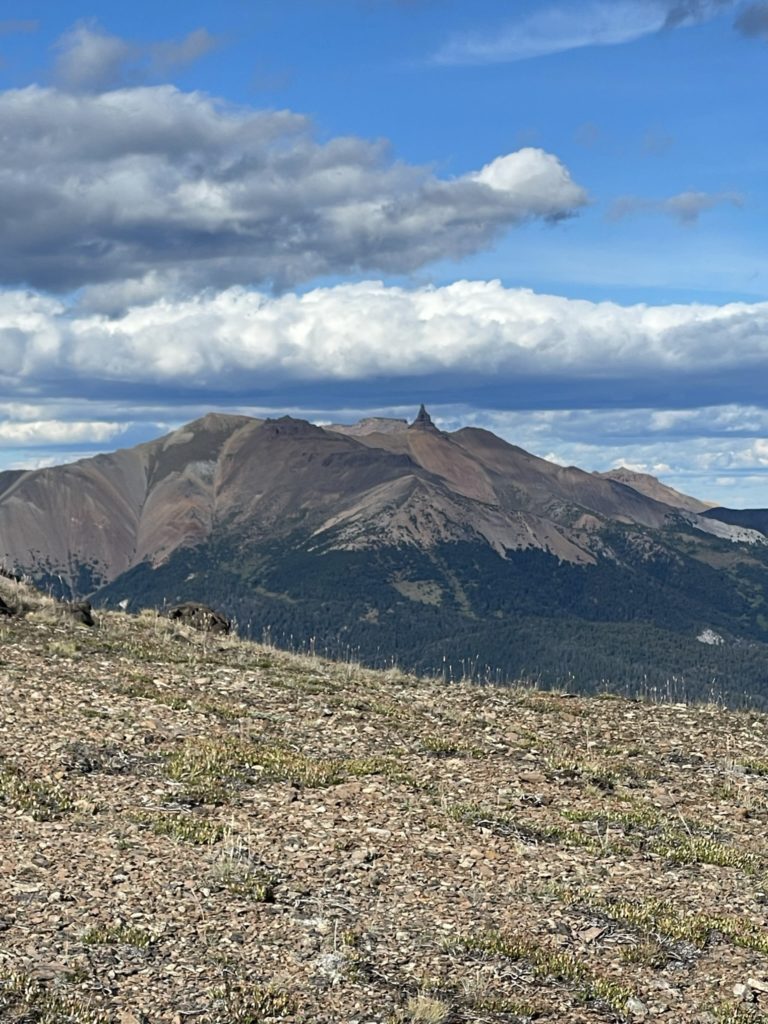
Mount Sheba was the first on the list and is apparently quite notable in the park for possessing a neat twin pinnacle that’s visible from virtually all areas of the park. There’s limited beta online, but Andrea’s Chilcotin map suggested a “mountaineers route” to reach the top and that it may be technical. We figured we’ll play it by ear when we reached the summit base. The first order of business was actually getting to the park though. The Chilcotin area is about 6 hours driving from Vancouver, so Andrea and I decided to leave on the Labour Day weekend Saturday and spend the night at the trail head before starting up on Sunday.
We spent a few hours in the morning doing some final packing prep and then got going by lunch time. Following Google Map’s blindly we accidentally took the “faster” route through Shalalth and didn’t realize before it was too late. This meant a prolonged service road drive as opposed to the faster highway approach through Lillooet. I didn’t mind though as I’d never seen this area and it was fun to drive through Seton-Portage and Shalalth. After passing through both small towns we rejoined with the normal route to the Chilcotins and finally pulled into the trail head parking past sunset.
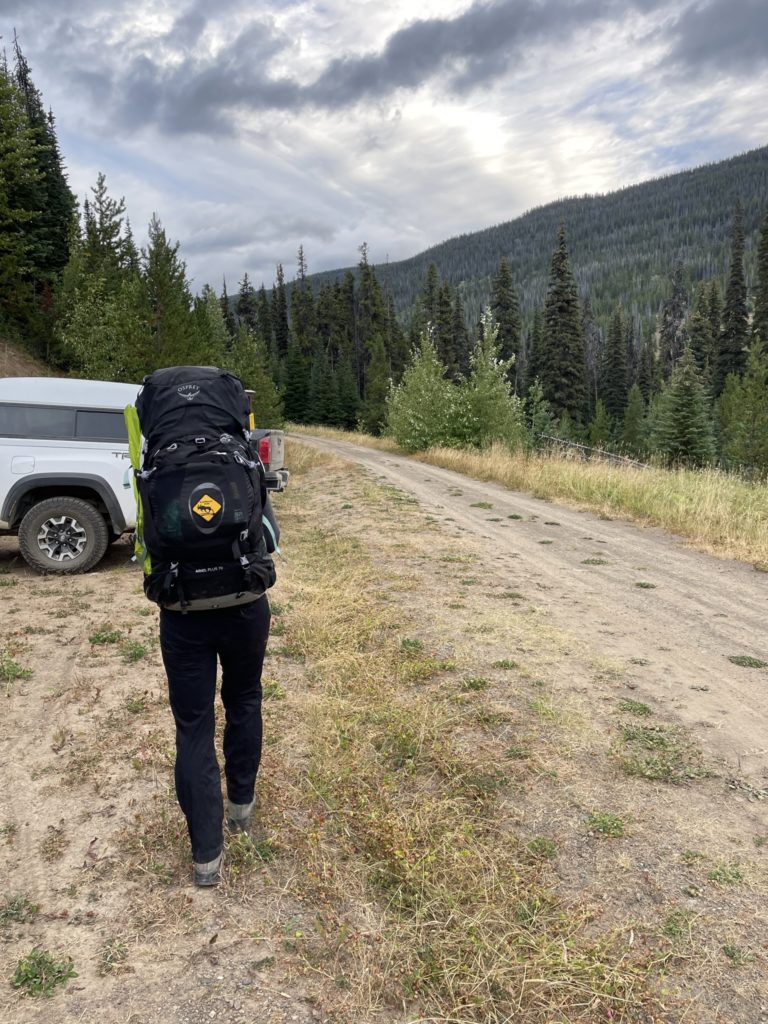
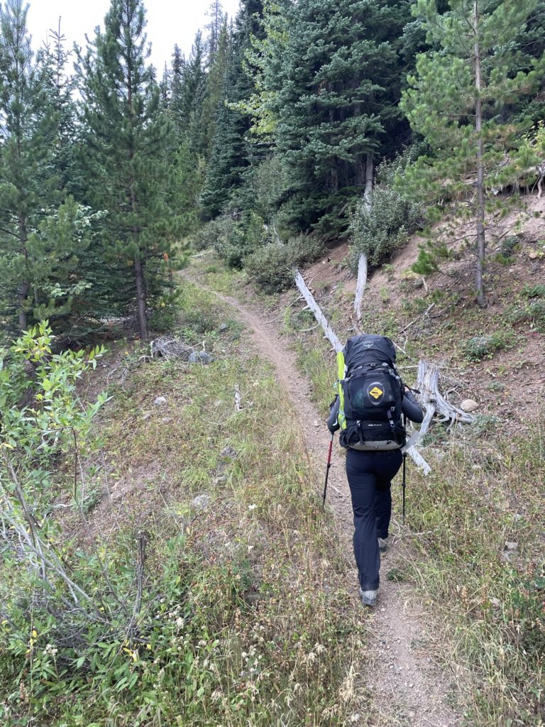
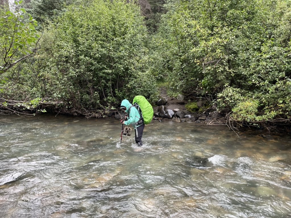
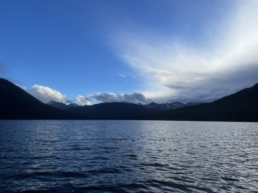
On Sunday we got up early, around 7am and hit the trail by 7:30am. Our first day was an approach day, of approximately 20km (seriously the approaches are long here), to reach a camp site at an area called Spruce Lake. The weather was looking marginal with rain all around us, but somehow me managed to dodge the precipitation all morning. By afternoon, our luck ran out though and we got hammered by the rain as we crossed Tyaughton Creek. I was able to keep dry, save for the shoes until we started the trail along Spruce Creek. The brush was dense and absolutely loaded with rainfall and that meant each step a new layer of water was applied to my increasingly soaked pants. Before long, I was just walking in a pool of water and getting miserable. Andrea and I pressed on though and with a rain soaked snack break, we managed to recover the morale. After 8.5 hours on the move we finally pulled up to the camp site.

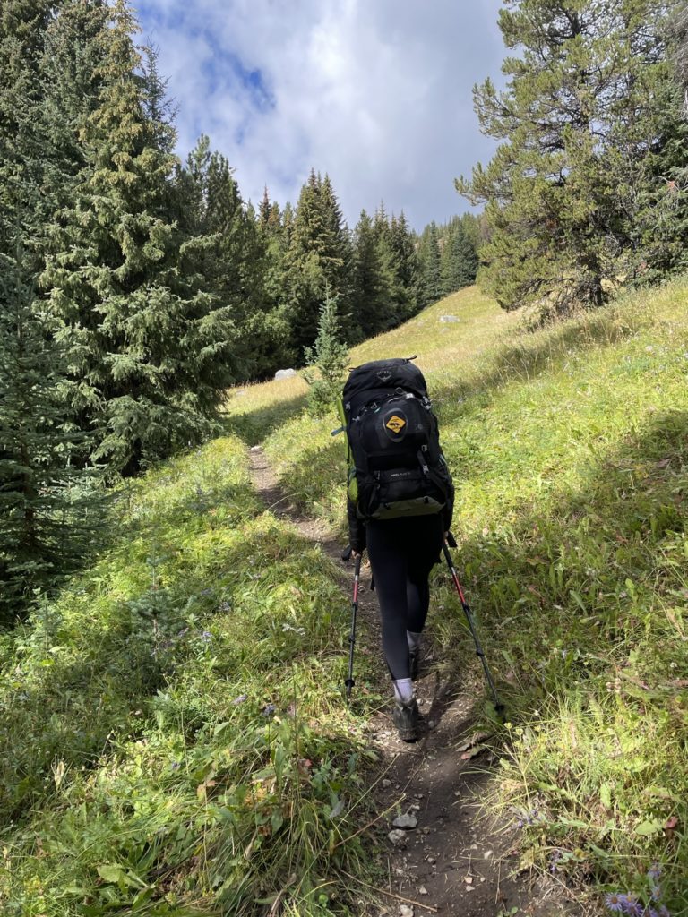
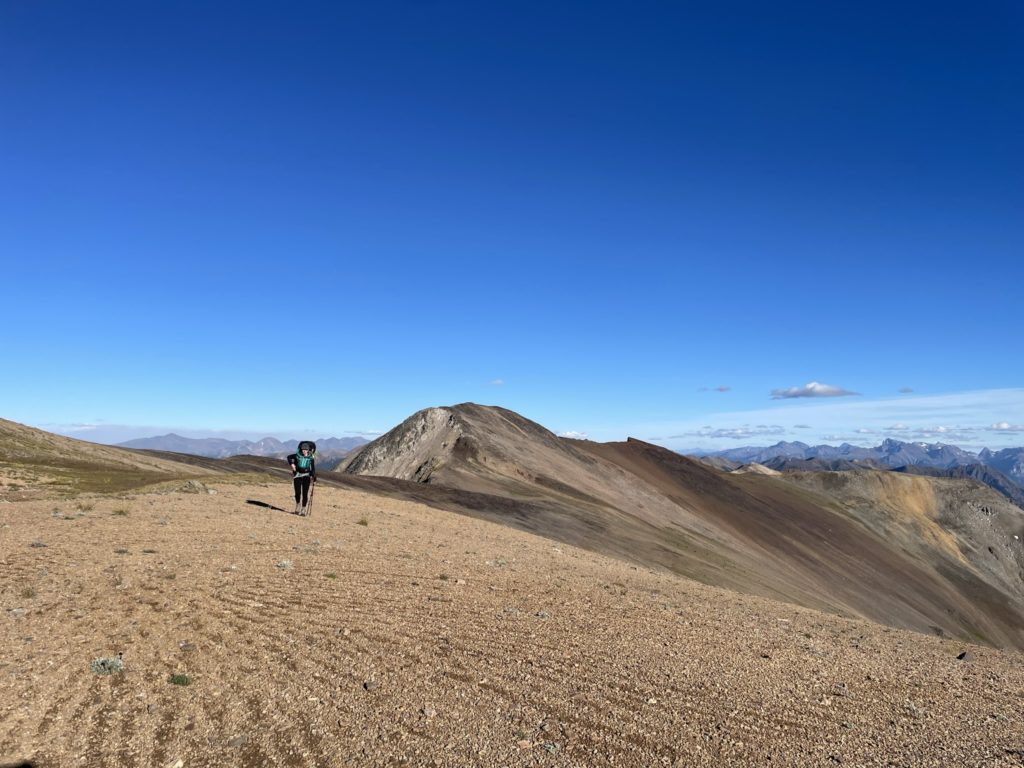
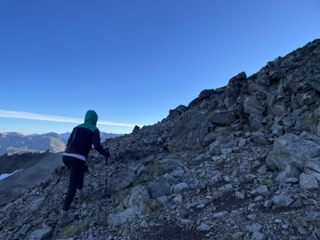
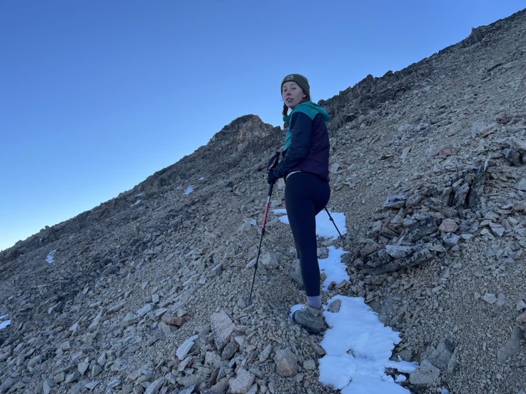
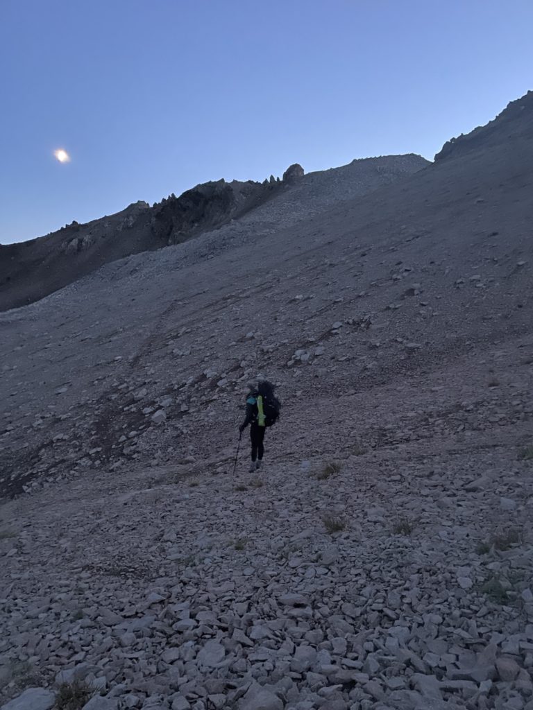
By some luck, the rain cleared in the evening and I manged to dry some of my gear out for the following days push. The weather was still iffy in the morning, so we didn’t get out of camp until 11:30 or so to let things dry out a bit more. We left the north side of the camp and started the easy hill climb on the “Open Heart Trail” that leads to the Sheba ridge line. Feeling good about the new sun and dry gear, we made quick time and were soon out of the trees and following around the north side of the ridge system. At some point we missed the turn off to the unofficial trail up to the ridge and decided to just boot back up the scree slopes on the north side. It was a bit of slog, but we were soon on the ridge proper.
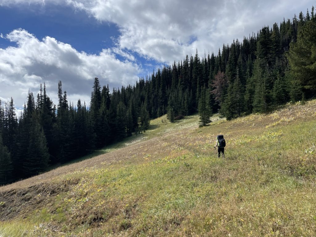
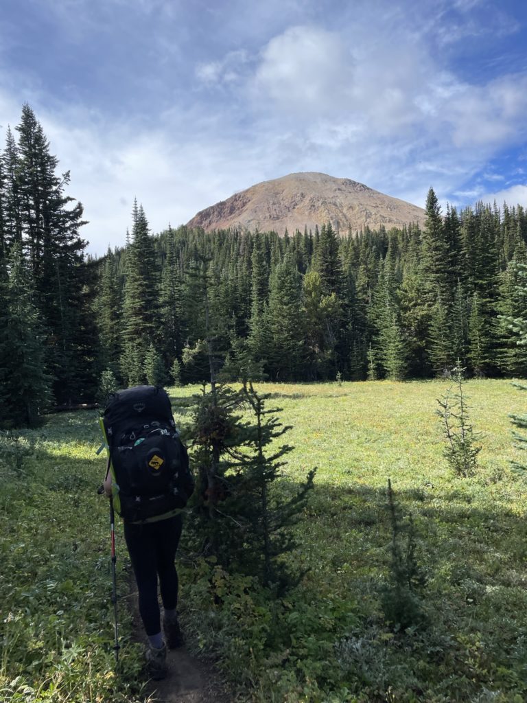
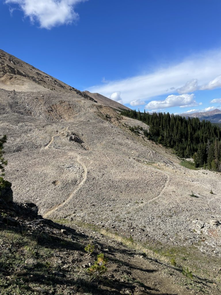
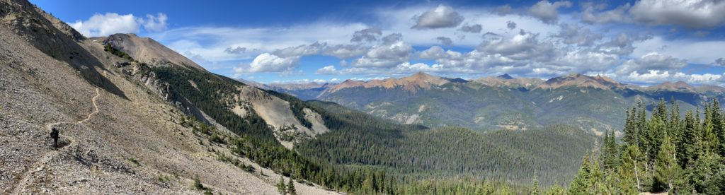
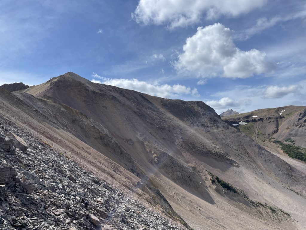
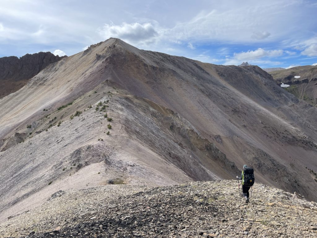
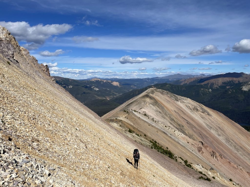
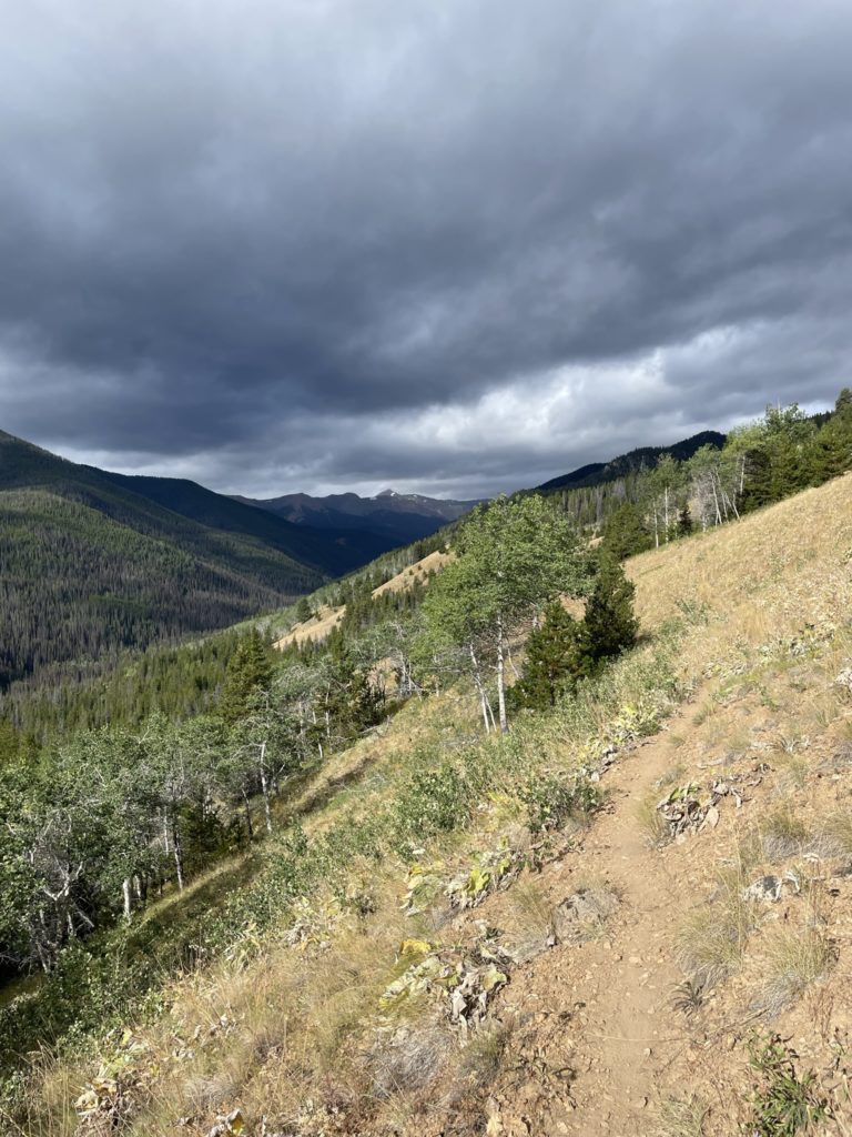
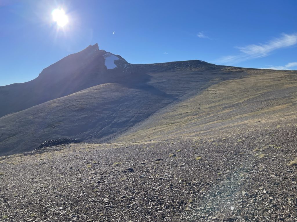
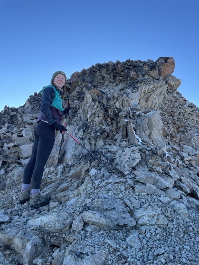
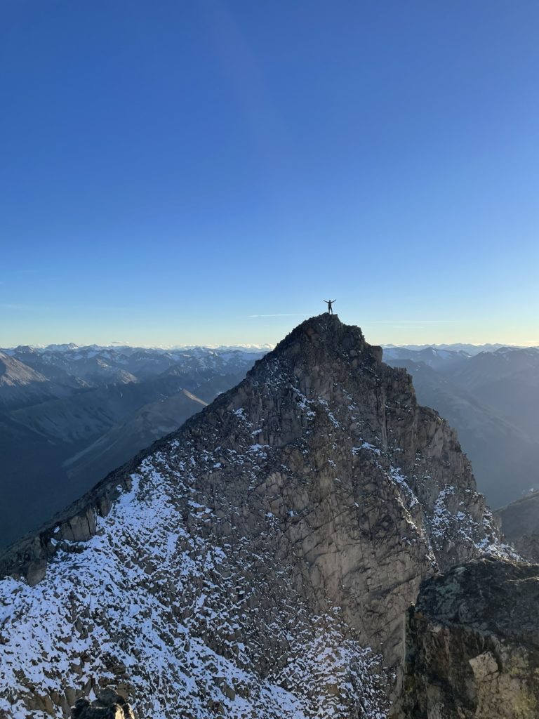
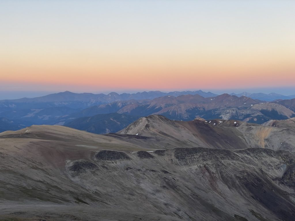
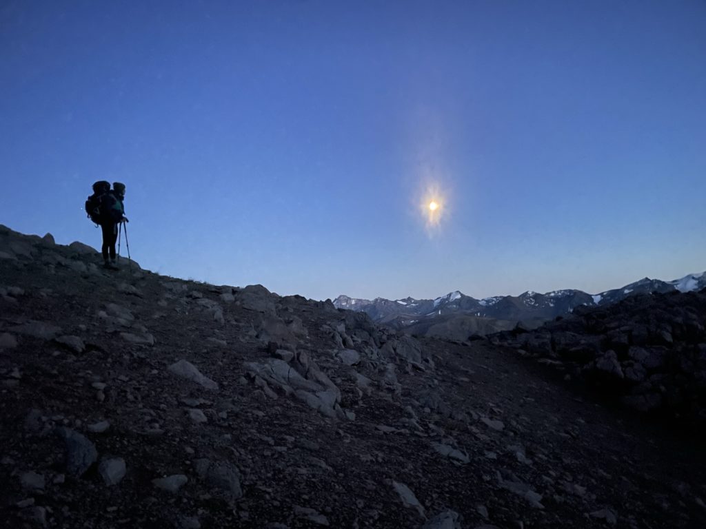
Ahead of us was a beautiful undulating grassy ridge system that lead all the way up to Mount Sheba. There’s nothing left to do here except soak in the scenery on each step and make our way up to the summit base. From afar, Sheba did look quite steep, but I didn’t see anything too technical looking and surmised it’s a scramble at most to the top. I wouldn’t find out for about 2 hours though as the ridge walk is quite foreshortened and we didn’t reach the base until 6:30PM or so.
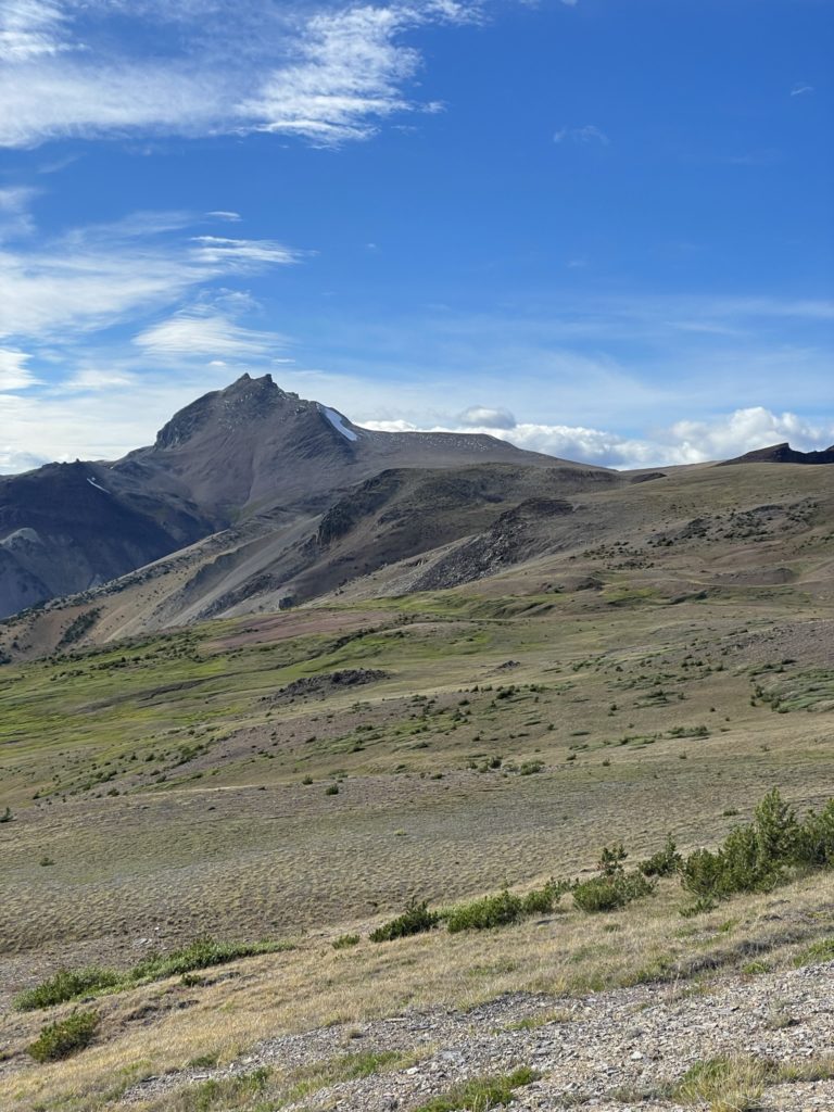
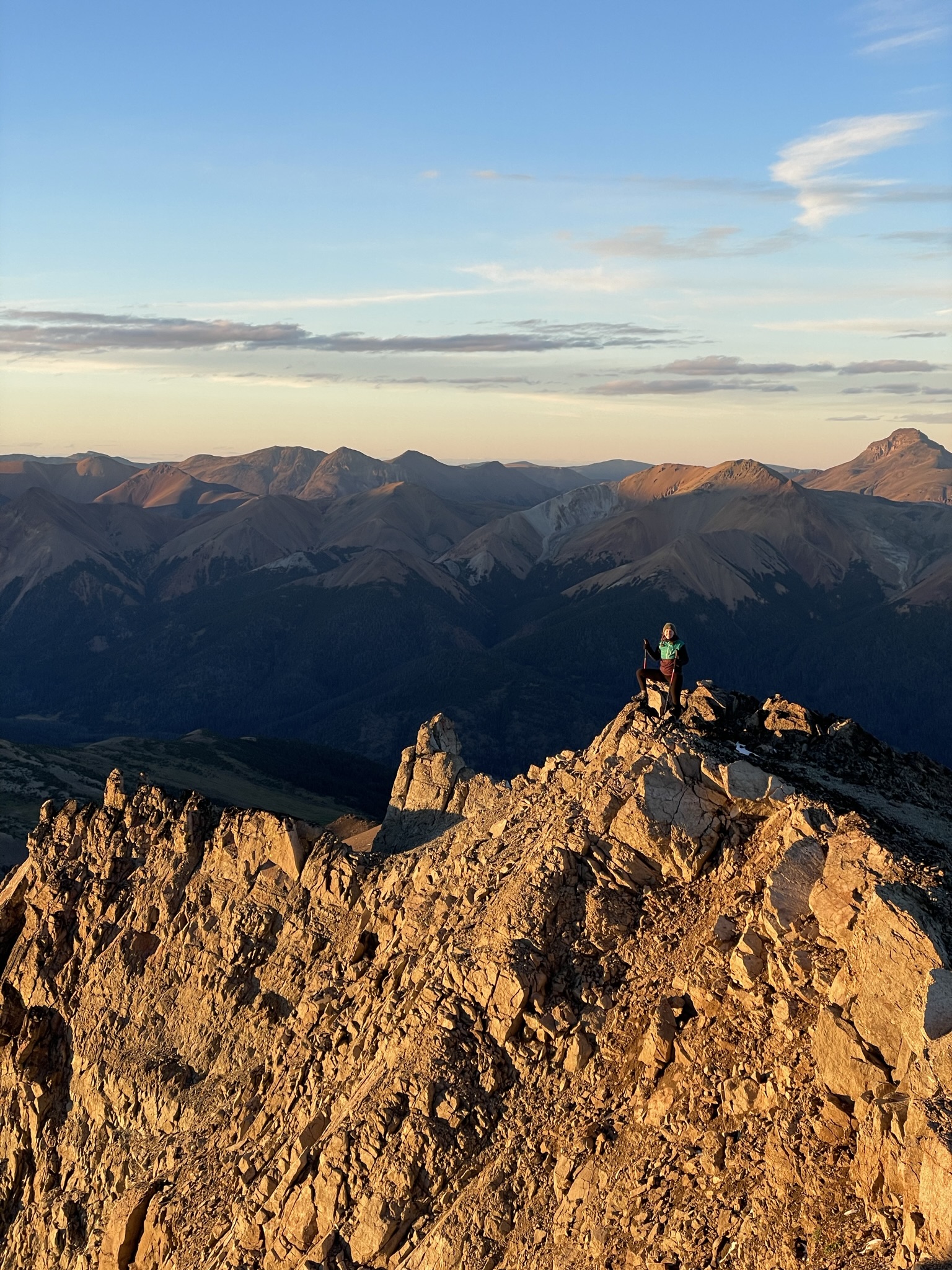
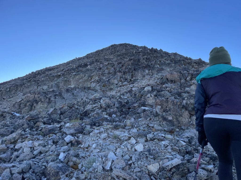
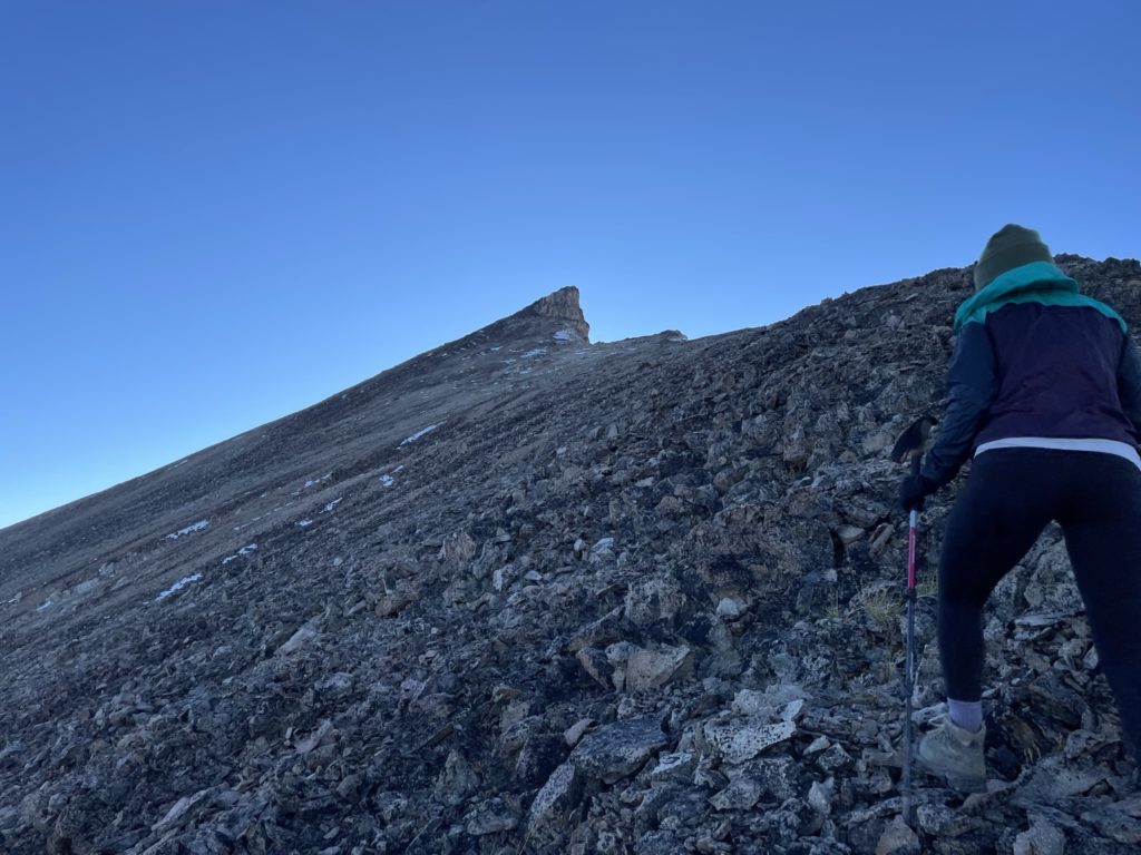
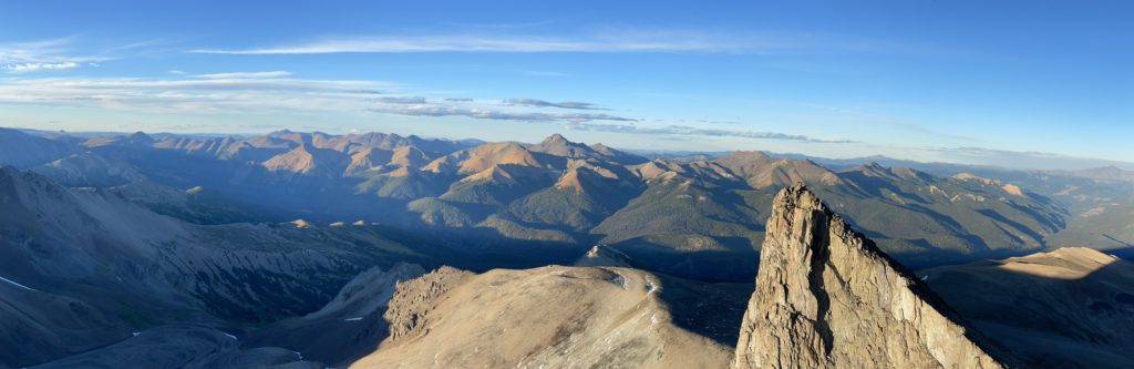
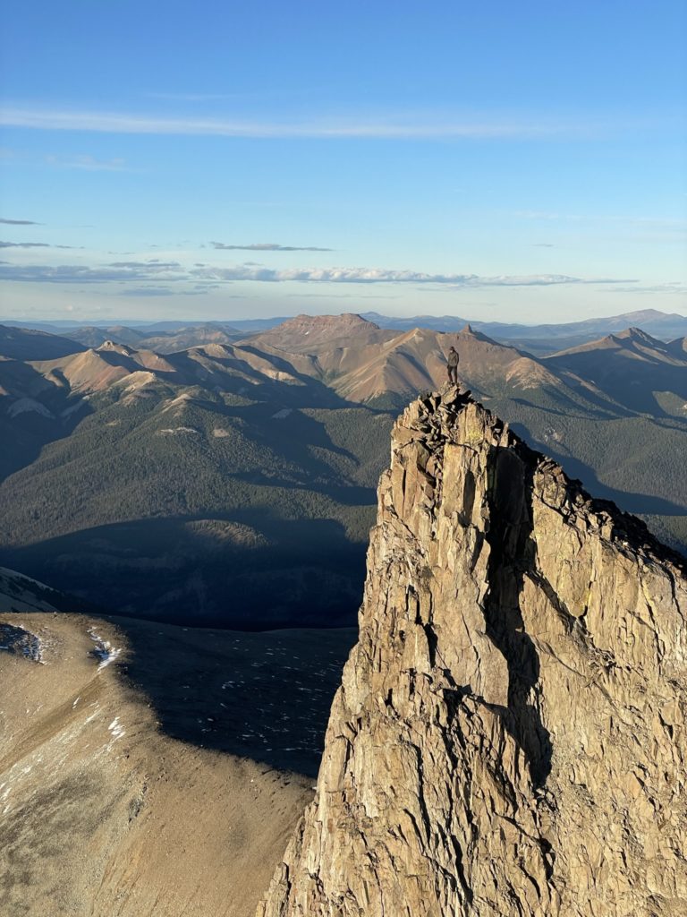
As expected, from the base I could spot a super easy route up the eastern ridge line and so Andrea and I ditched our heavy packs and started up to the summit. From where we ditched our packs it was only about 250m up to the notch between the two summit towers and we made quick work ascending the east ridge and then traversing over. I had read that the northern tower was the true summit so we went there first. To reach the top from the notch was mostly just class 2 scrambling for 15m or so and then we were standing on the narrow summit.
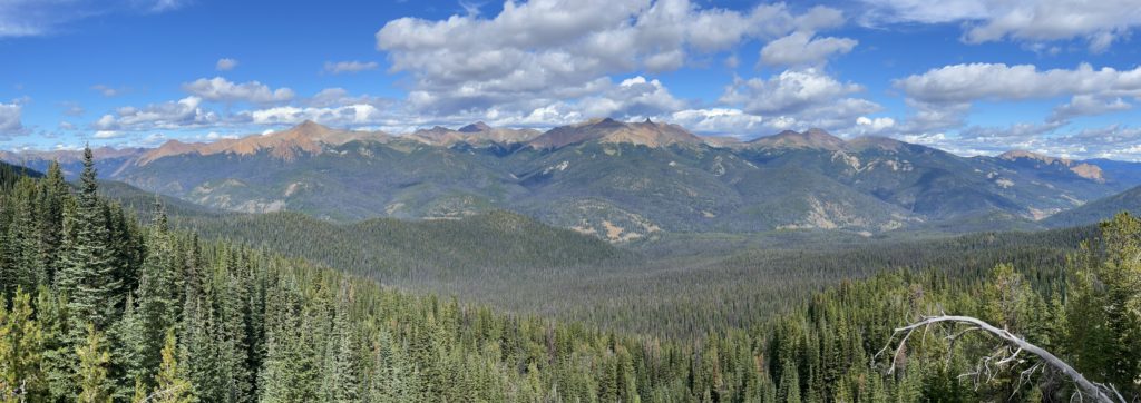
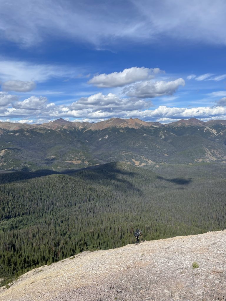
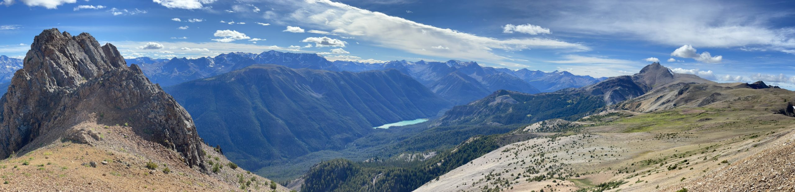
The sun was just starting to set now and we had amazing 360 views over the entire South Chilcotin range and more towards Lillooet and Pemberton. I scrambled down to the south tower to get some more photos and sure enough the north tower proved to be slightly taller as anticipated. Then we hung out for the entire sunset and alpenglow show after.
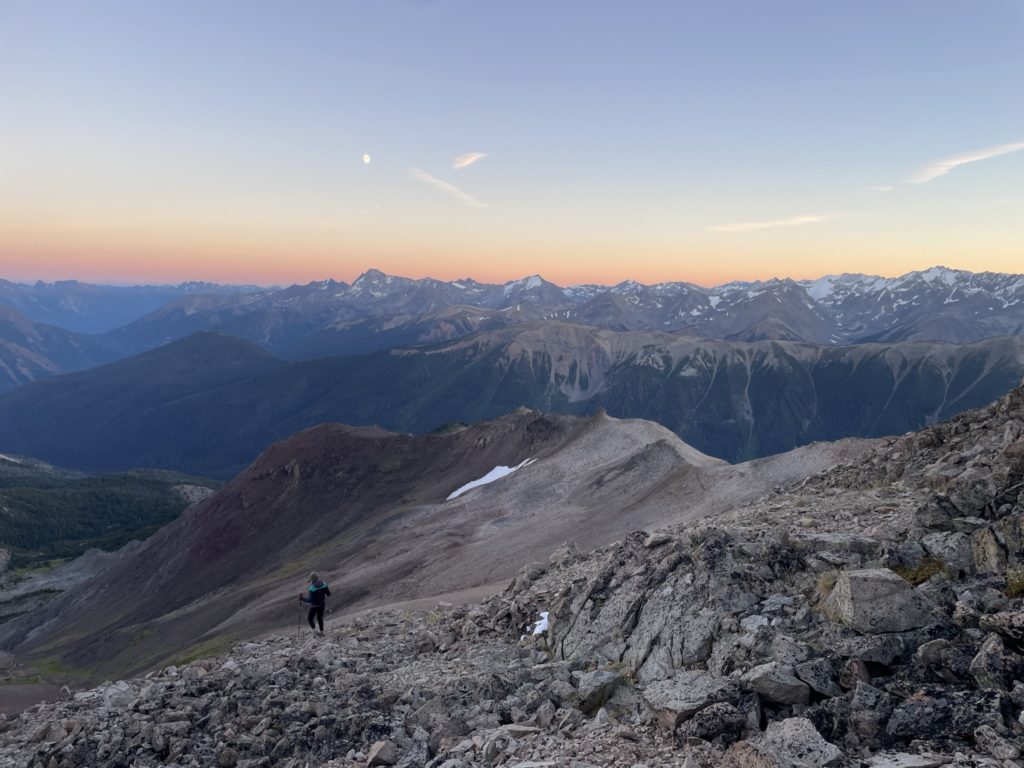
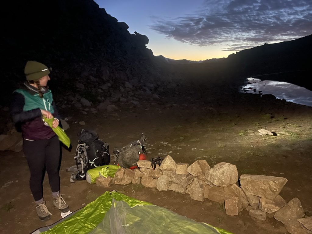
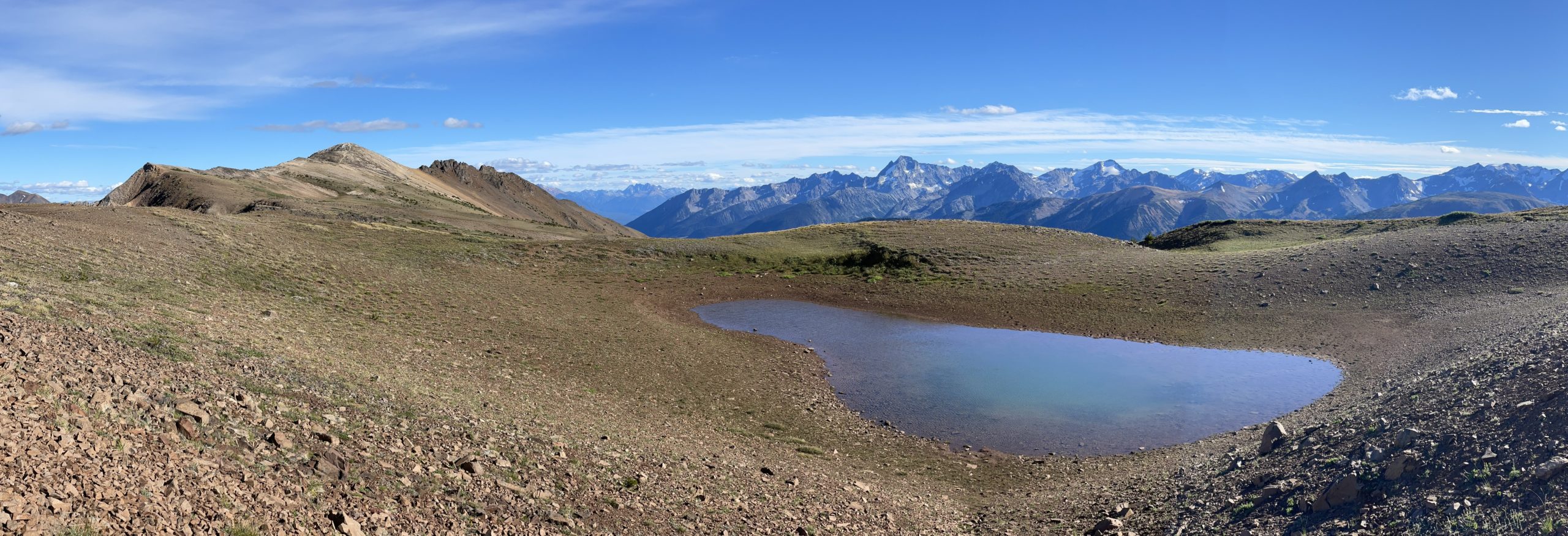
Finally, as it was starting to get dark, we hiked back down to the packs and made the short 700m traverse to a tarn on the south side of Sheba. Here there was a small make shift camp site and we set up for the night in preparation for traversing to Mount Solomon the next day.
Nice photos and story. I hiked up Sheba as a day-trip from Spruce Lake about 20 years ago. The area hasn’t changed much. Is there any evidence of mountain bike erosion on that ridge?
Hi Jay, we did see a few bike tracks along the ridge, but overall pretty minimal. The area near Cunningham had far more bike traffic from what we could see!