
(Stats include all 7 days)
Elevation Gain: 4,388m
Distance: 104.8km
Total Time: 7 days
Dates: Sept 3rd to 10th
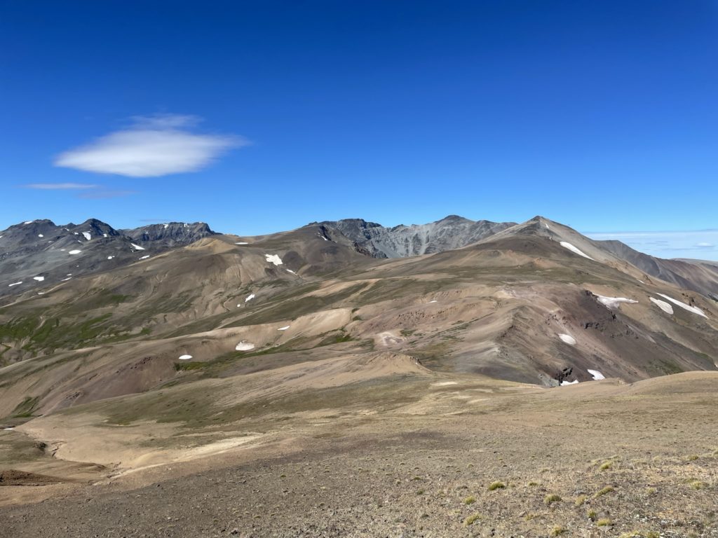
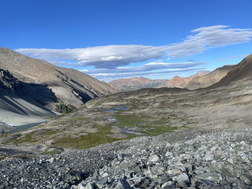
Mount Solomon is not a particularly coveted objective in the South Chilcotin range, but it is one of the few named summits in the area and it happens to be on the Sheba ridge traverse route (On that note, many of the peaks around the Chilcotin range easily qualify for their own name, but there are only a handful of summits actually officially named). In any event, Andrea and I had summitted Mount Sheba the night before and were now continuing our traverse along the Sheba Ridge line. Our goal was to reach the end of the ridge system which terminated with Mount Solomon. Then we’d drop down to an alpine lake called Lizard Lake and then gain a high ridge to the next valley to reach Lorna Lake for a rest day.
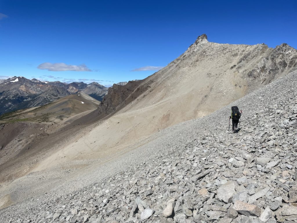
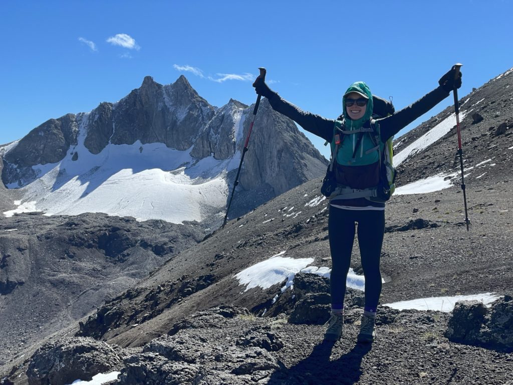
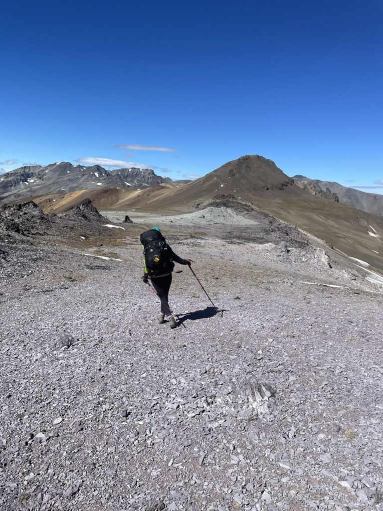
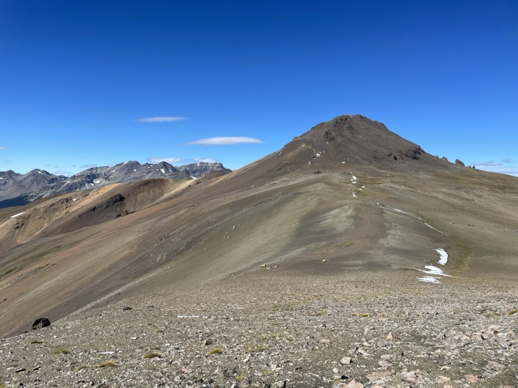
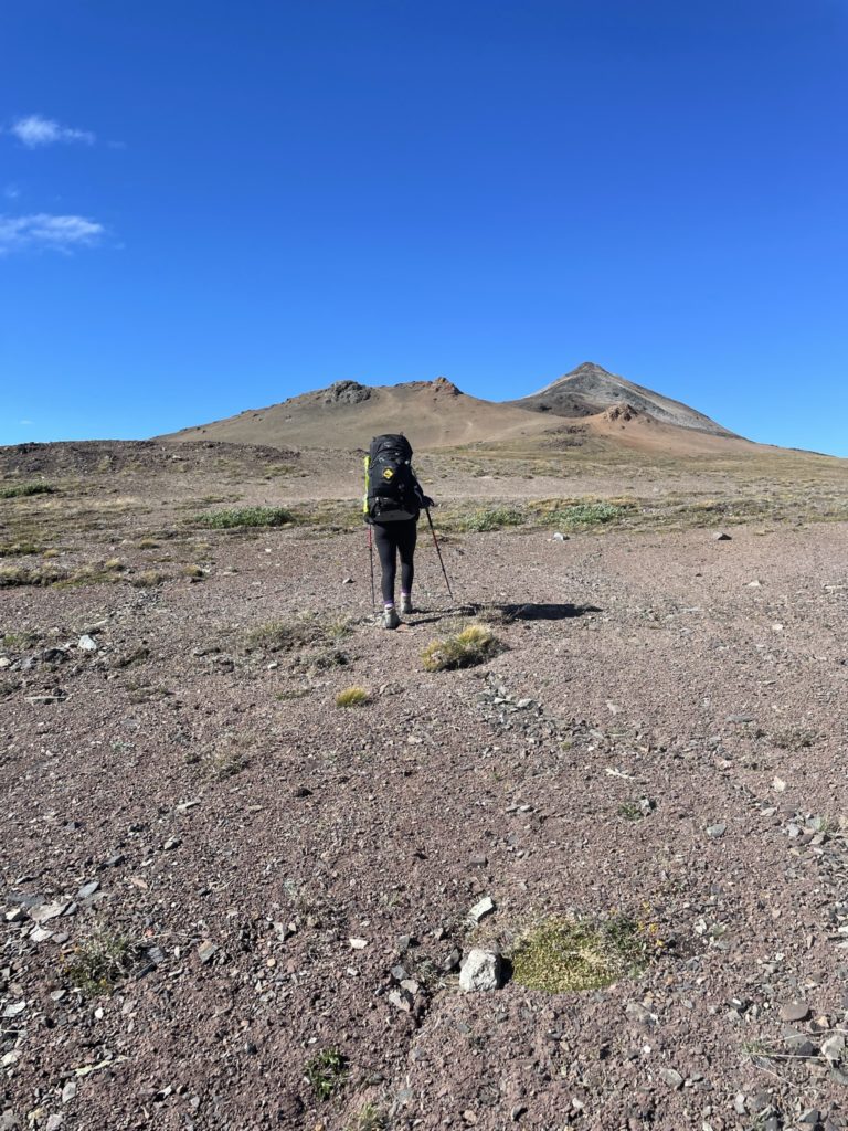
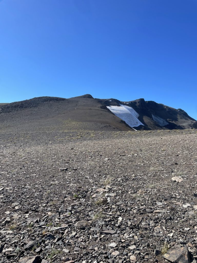
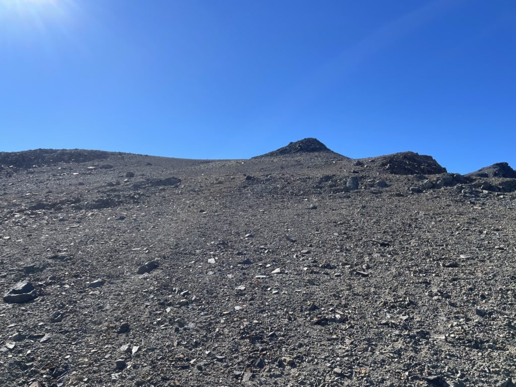
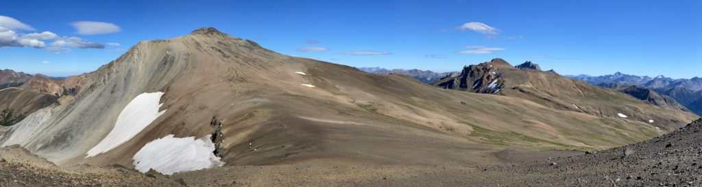
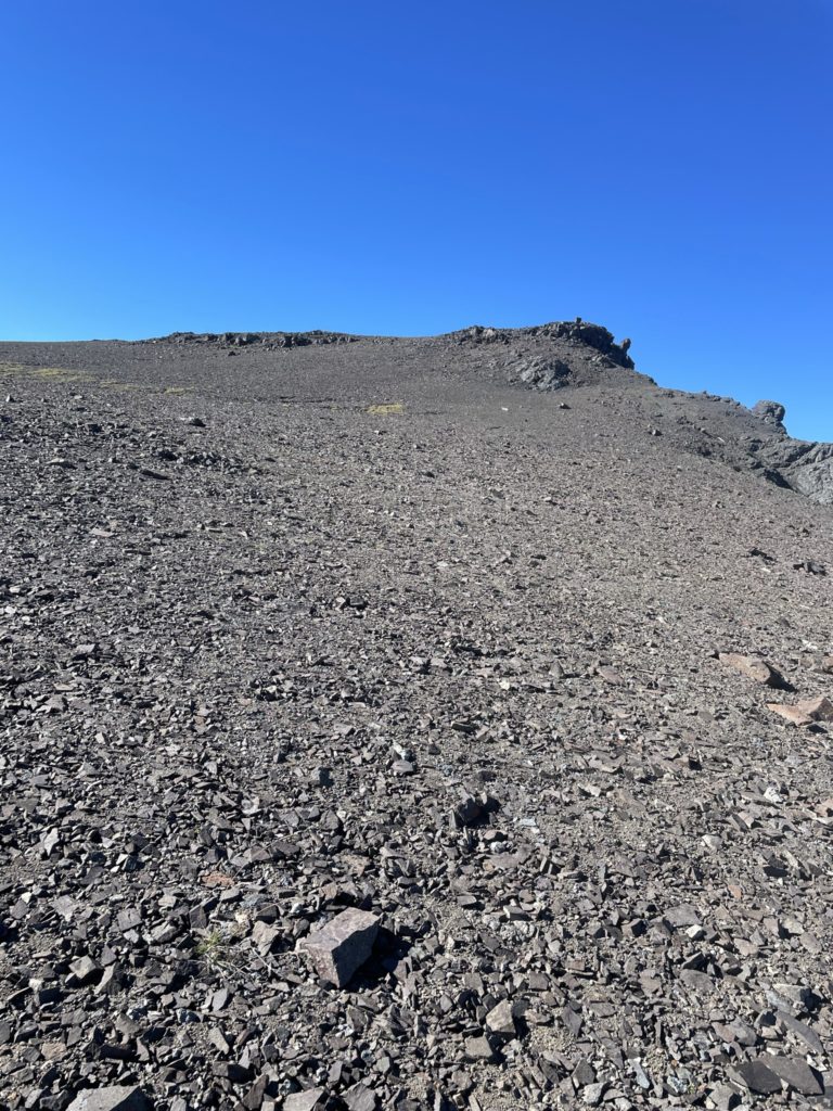
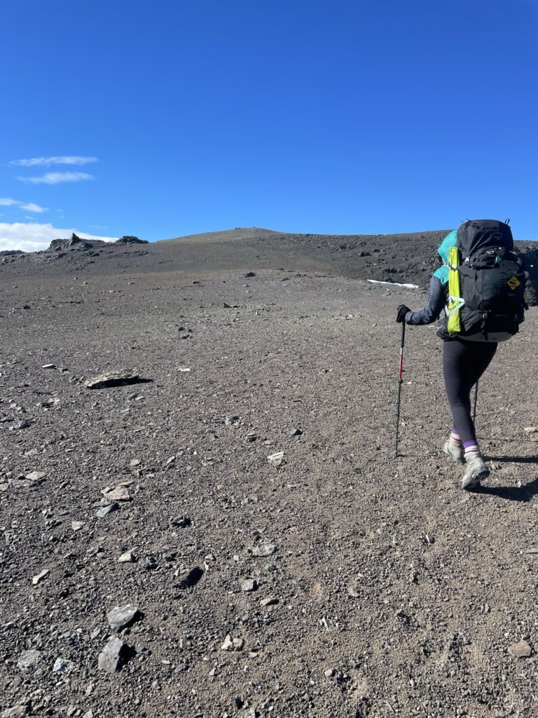
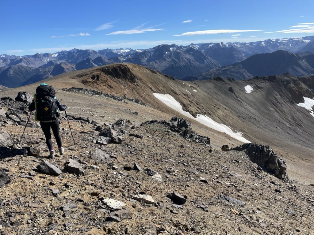
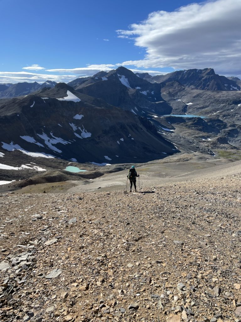
We had a late start for Mount Solomon, getting going around 11am after tearing our camp down. That meant it’d be a bit tight to reach Lorna Lake by end of day, but we pressed on nonetheless. To reach Mount Solomon it was a fairly straight forward ridge ramble across ~9km of ridge line to reach the summit. Again, there’s not much to add here as you can see the objective most of the way from the ridge line and it’s fairly obvious where to go. The one difficulty we encountered was an endless battering from the wind with gusts strong enough to push you off balance. At first it was really entertaining, but the novelty eventually wore off as our ears and face got endlessly blasted by the wind.
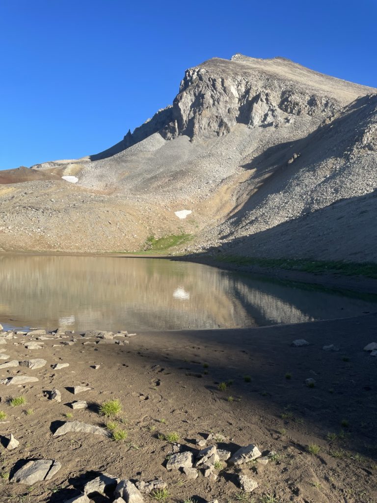
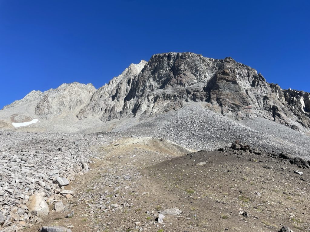
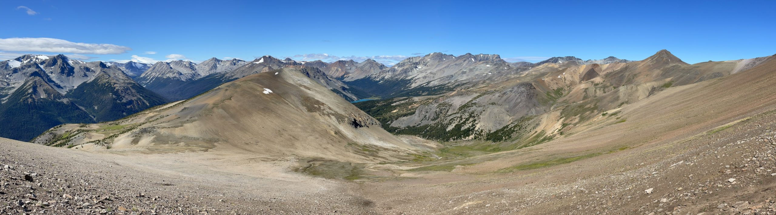
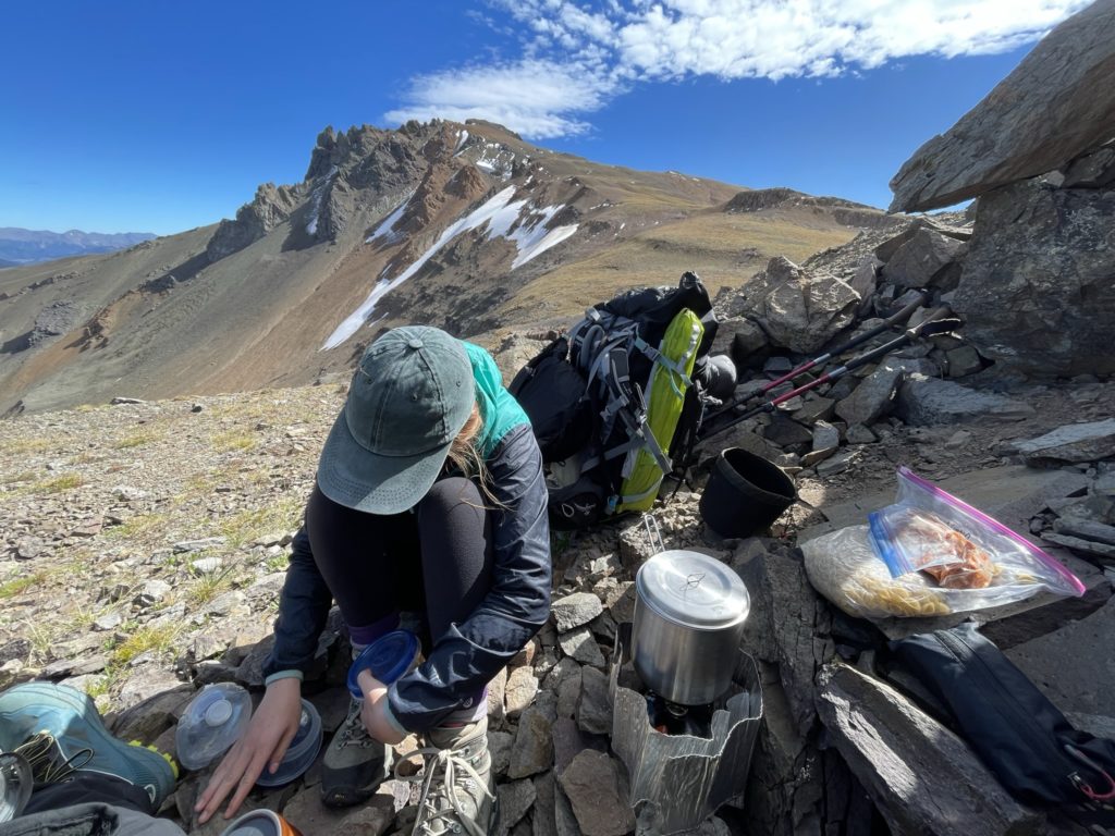
There’s one major loss in elevation at an area called Deer Pass. Where you must lose 100m of elevation and then ascend another 200m up to the summit. By most standards, that’s not a big deal however. We paused at Deer Pass for a long lunch break and a reprieve from the wind. Here we spotted a group of mountain bikers at the pass and as we later found out these would be the last people we’d see until we’d exit the park 4+ days later.
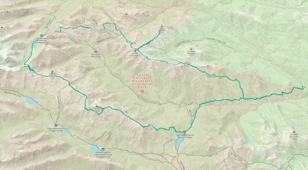
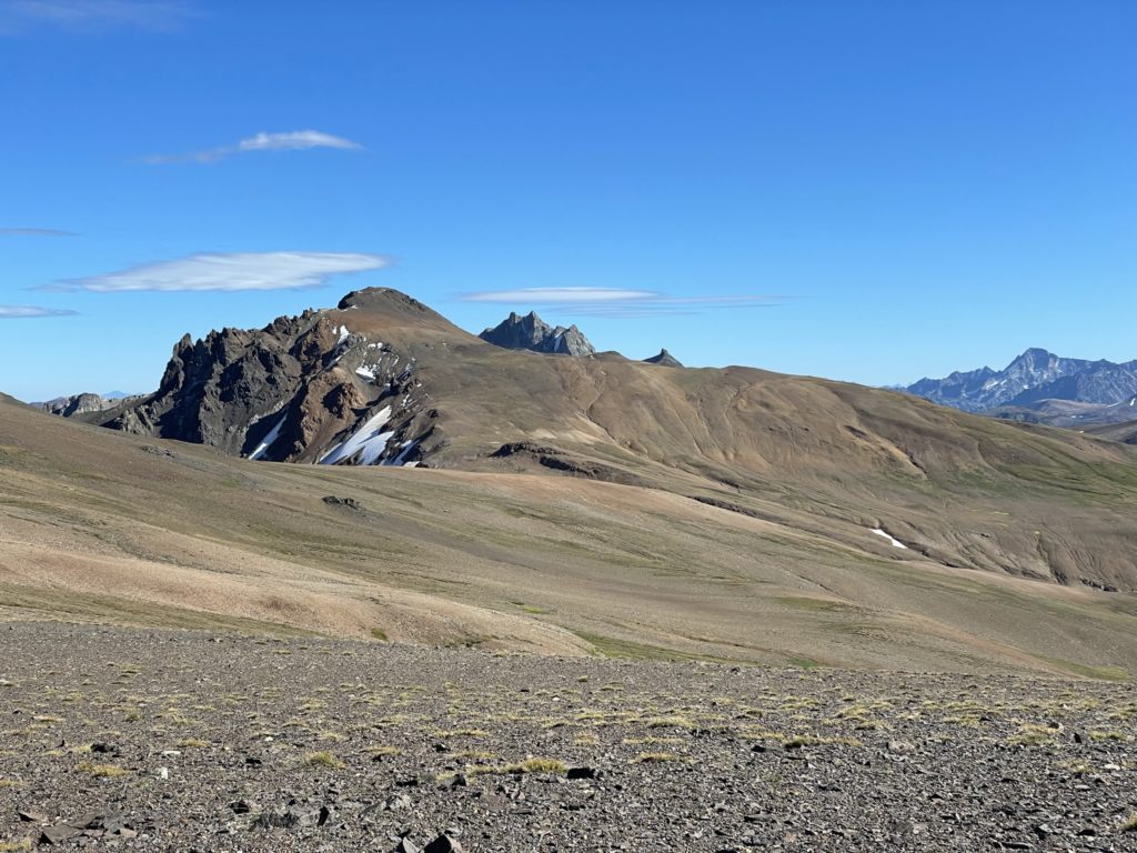
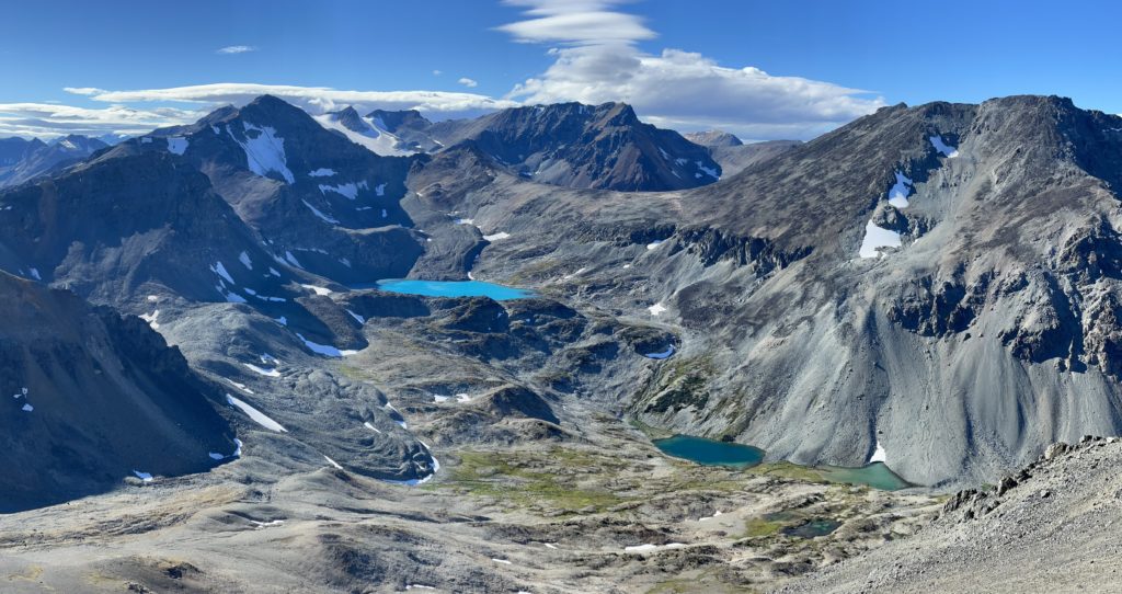
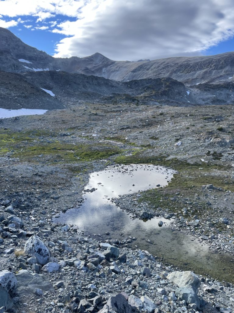
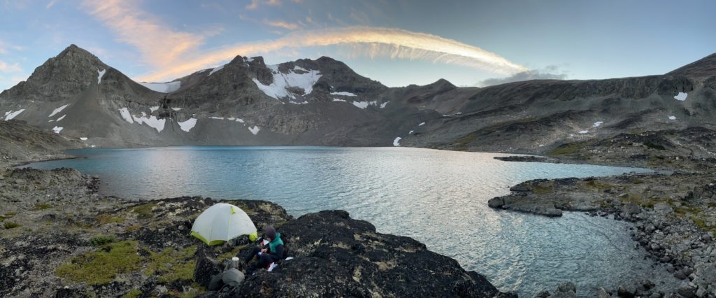
After our lunch we continued the easy plod up to the summit and caught our first glimpse of Lizard Lake. I’ll let the pictures do the work, but this lake was a perfect shimmering turqoise blue that catches the eye no matter which angle you look at it. It’s nestled deep in a valley towards Mount Warner and I doubt it receives more than a handful of visitors each year. By now it’s also getting late in the day and the likelihood of reaching Lorna Lake was diminishing. Still we thought we’d give it a try and worst case we’ll just crash at Lizard Lake instead.
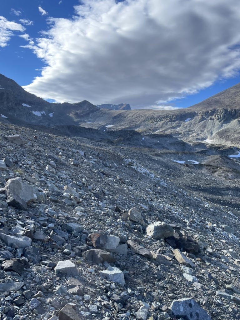
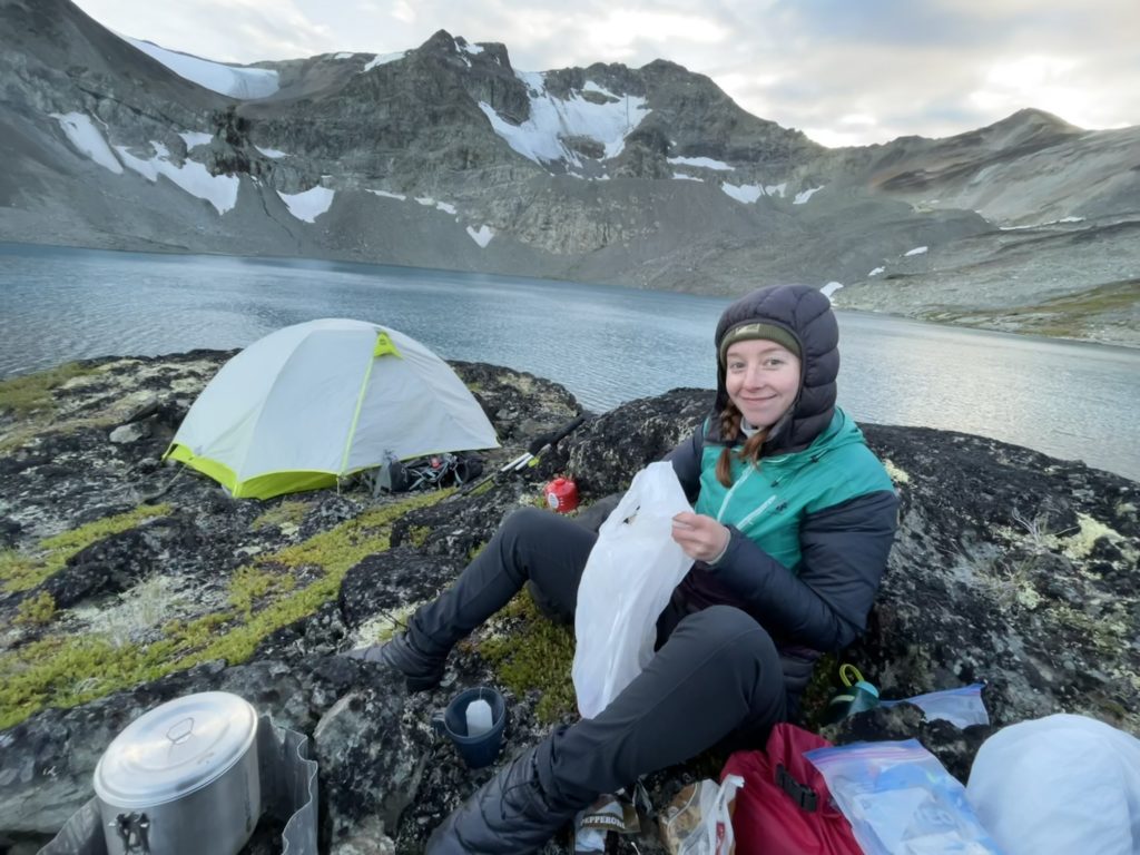
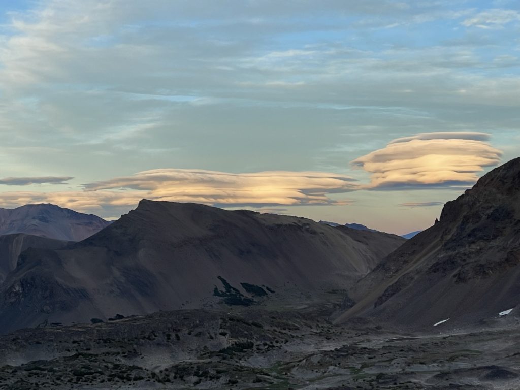
To reach the lake we found a long scree ramp on the south side of Solomon and boot skiied most of the way down the valley. Then we had to traverse across glacial moraine and debris to reach a plateau about 50m below the lake. At this point we’re both getting tired and it’s getting late so we decided to just head for Lizard Lake and push on to Lorna Lake the following day. We hiked up the last few meters to the lake shore and found a good spot to setup the tent. Initially it was exceptionally windy and cold but by the time the sun set the air had settled and we fell asleep with ease after.
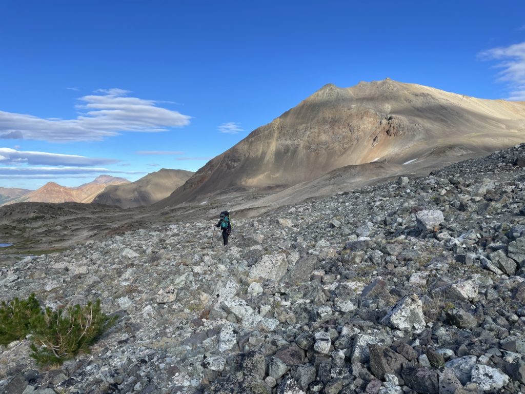

The plan for the next two days was a long link up to reach the northern ridge system and summit Mount Davidson.