Stats include Sero Jamanota and Sero Cabai
Elevation: 294m
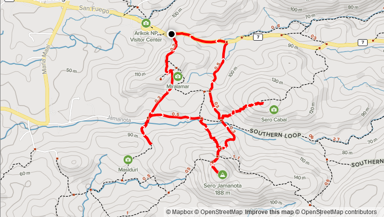
Distance: 5.5km
Total Time: 1 hour 31 minutes
Date: October 13th, 2021
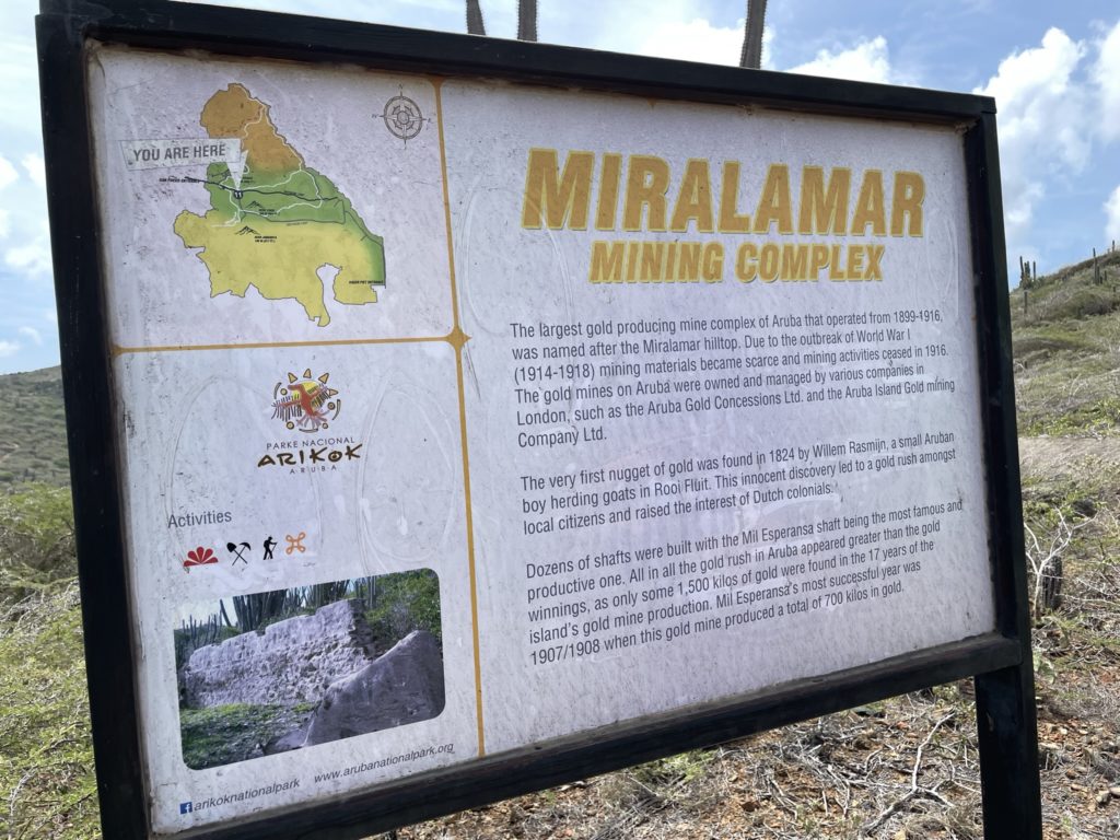
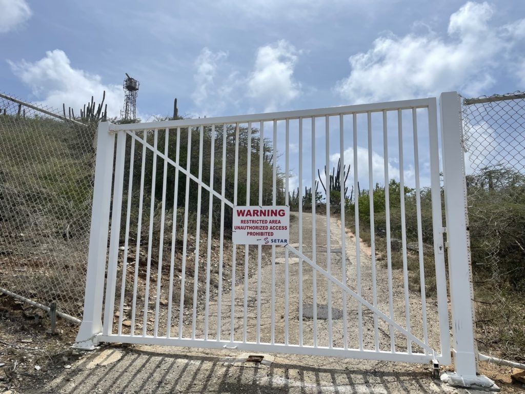
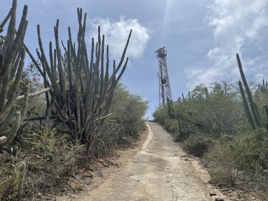
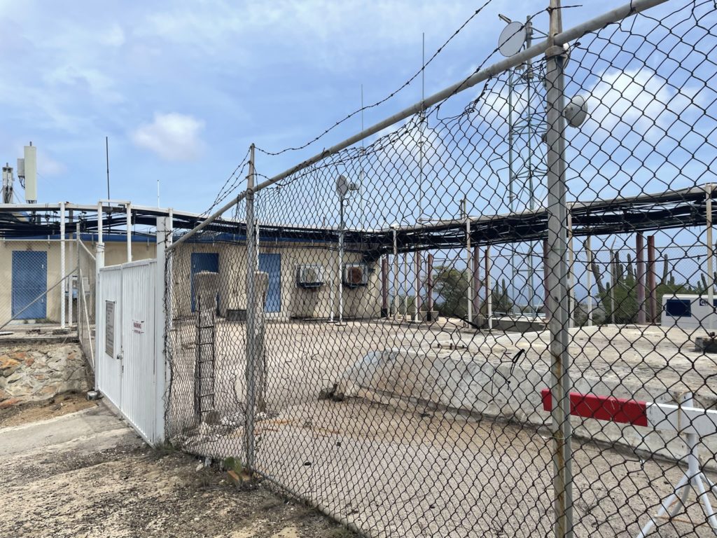
Sero Jamanota is the highest point on the island of Aruba at a meager 188m in height. Along with the 2nd and 4th highest points, it’s located in the Arikok National Park on the south eastern side of the island. The actual summit is fenced in as private property thanks to a Setar cell tower placement that prevents hikers from accessing it. Nonetheless, a determined peak bagger can bypass the fence rather easily. To reach the trail head, you must pay for entrance to the park and drive a few hundred meters up the road the Miralamar parking site.
Sara and I were in Aruba for vacation and the idea was to spend it doing beach-side activities and relaxing. However, I had researched the high points around Aruba and discovered there’s 4 worth attaining and 3 could be done in half a day, so a break from the relaxation was imminent. We had already tagged the third highest point: Hooiberg and planned to set aside a single day to check out Arikok National Park and tag the other worthy high points.
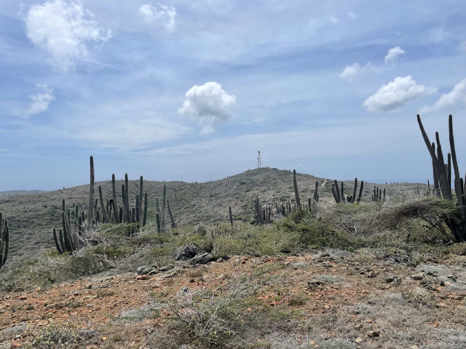
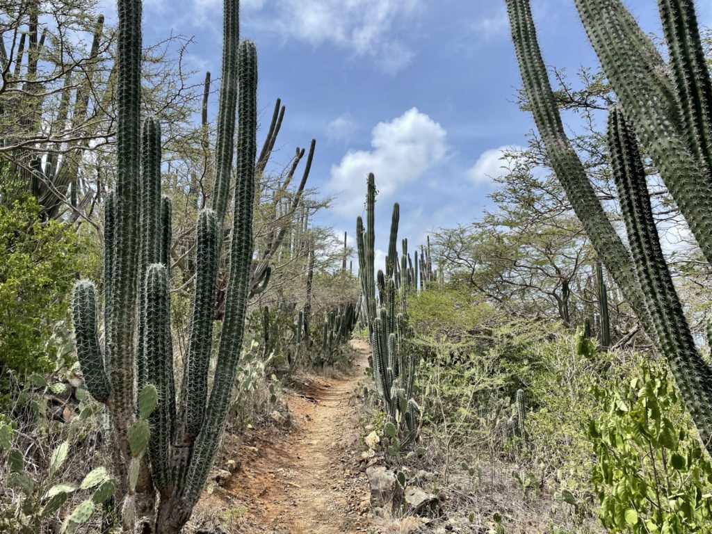
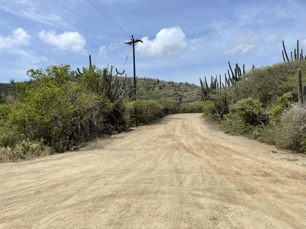
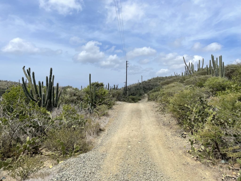
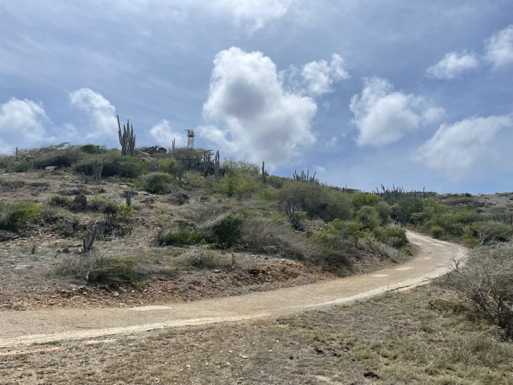
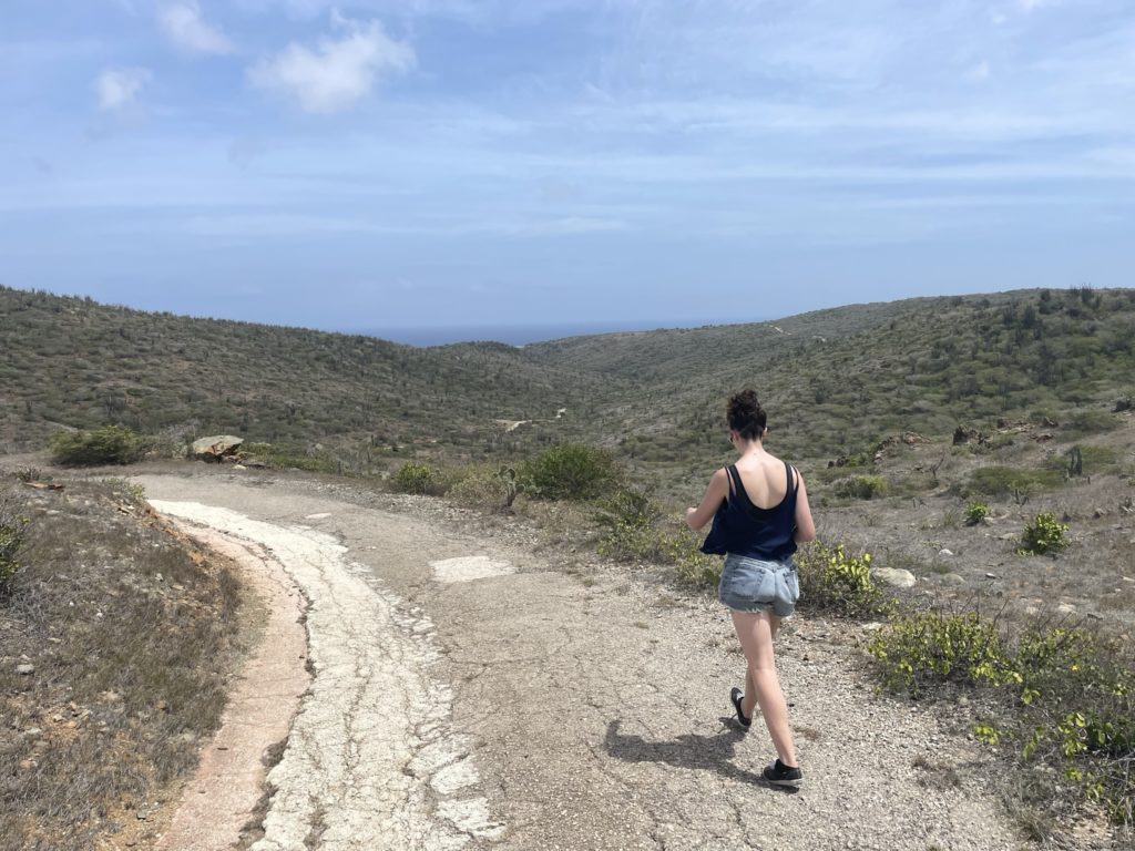
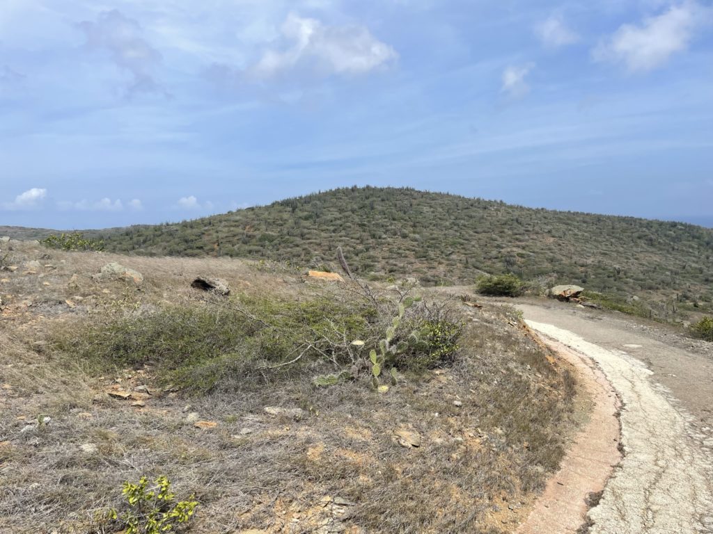
That day came on the 13th and we left for the park a little late in the day, arriving at the trail head for 11:33am. This area of the island happens to be the hottest and the driest as the hills block the eastern trade winds and one will only find reprieve on the east side. Unfortunately for us, most of the route to Sero Jamanota was sheltered and already within the first 300m we were cooking. Nonetheless, the trail was easy and we pushed on. I was thankful to have some offline maps, because navigating to the top was more difficult than expected. There were numerous unsigned junctions and we had to check the GPS frequently as a result.
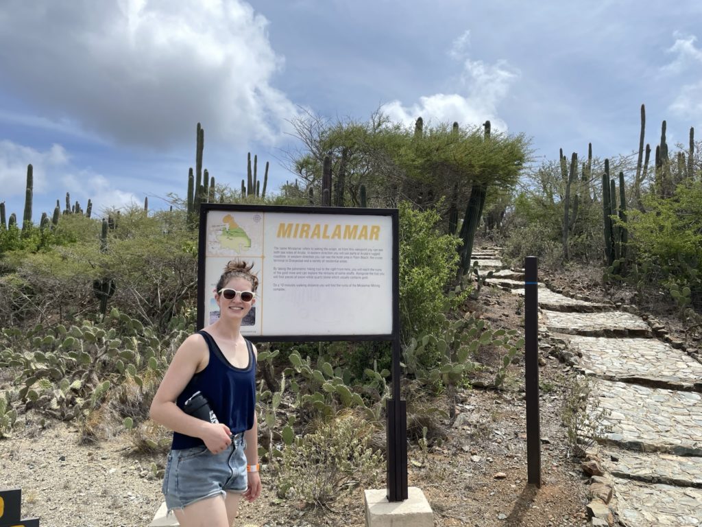
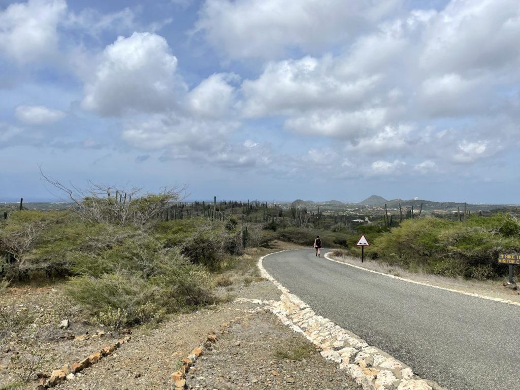
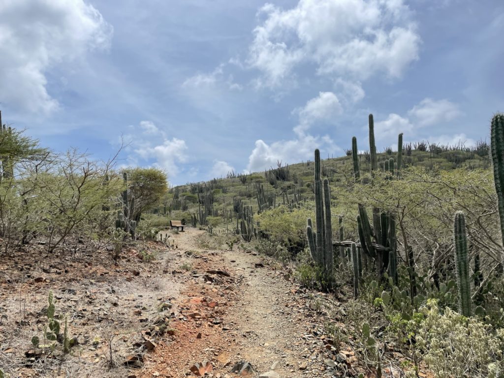
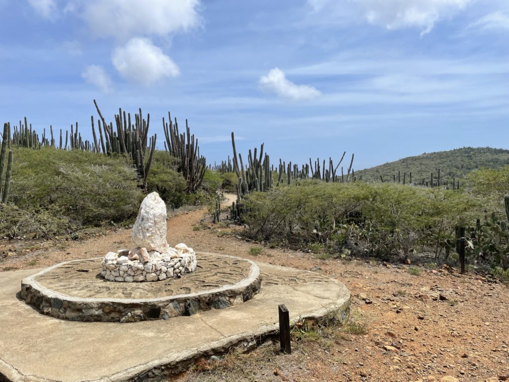
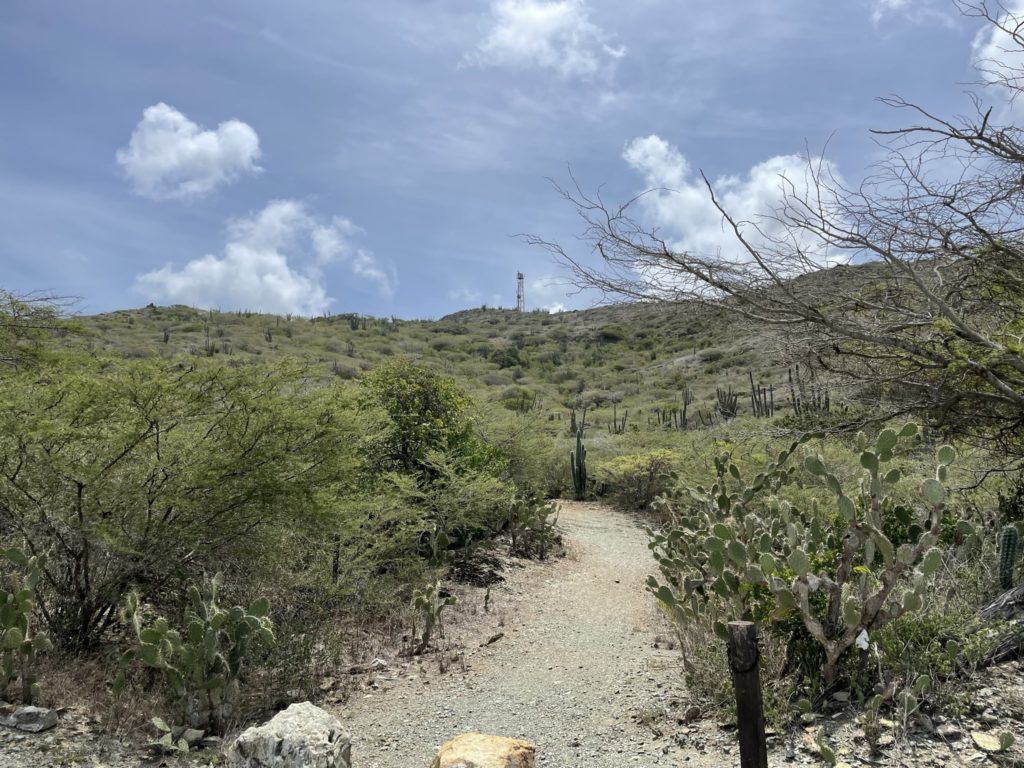
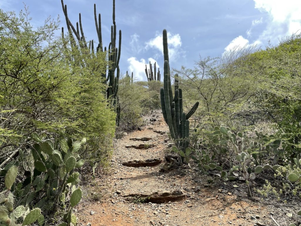
We reached the top of Miralamar view point and then descended 40m or so to a road. Here I took us on a wrong turn and we made it about 200m down the trail before I realized my mistake. Reluctantly, we back tracked and took the correct route down the road. Both of us had to pause frequently to escape the heat and we were thankful to catch a few breezes here and there. From the road I located the trail head up to the top and we climbed a short ways up until we reached the paved service road to the cell tower. At the end of this road I discovered the entire upper summit area was fenced off with no trespassing signs. Right next to the gate was a huge cut out in the chain link, so temptation set in. Sara wanted to stay back and catch some shade, so I slipped through the hole and then ran up to the top. The views were mediocre at best so I left as quickly as I came and met back up with Sara.
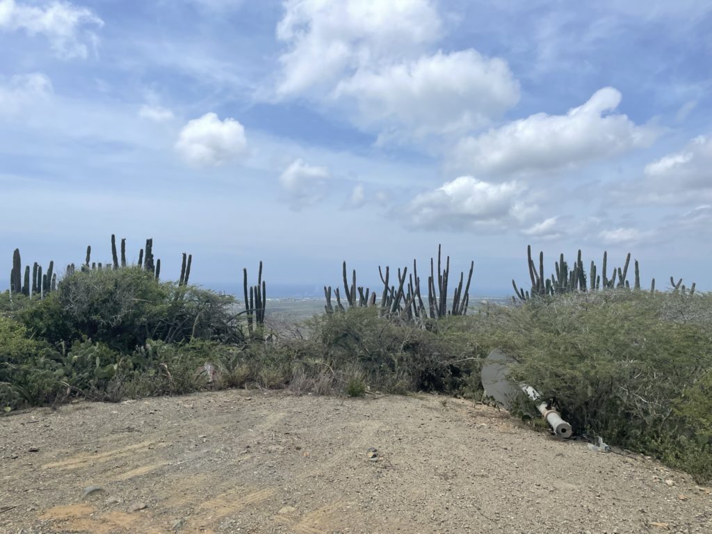
Overall, a pretty lackluster objective and its disappointing that most high points in Aruba have some sort of infrastructure that obstructs the views. Despite the disappointment, the mission was not over yet and the next closest “peak” was Sero Cabai, so of we went…