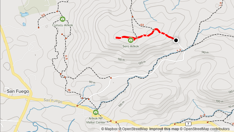
Elevation: 57m
Distance: 1.48km
Total Time: 22 minutes
Date: October 13th, 2021
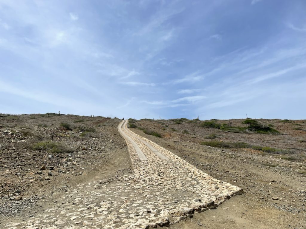
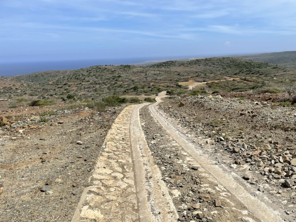
Sero Arikok is the 2nd highest point in Aruba and is located within the Arikok National Park bounds. To reach it, one must gain entrance to the park and then drive up an unpaved road the base. In a 4×4 you can drive all the way to the top if you are so inclined.
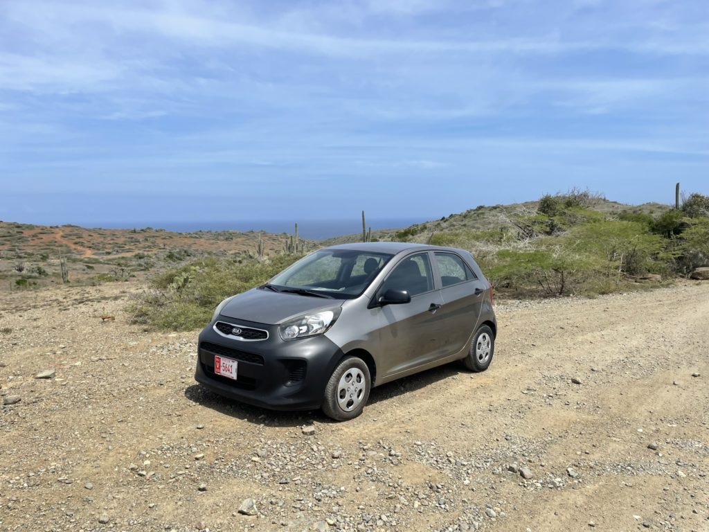
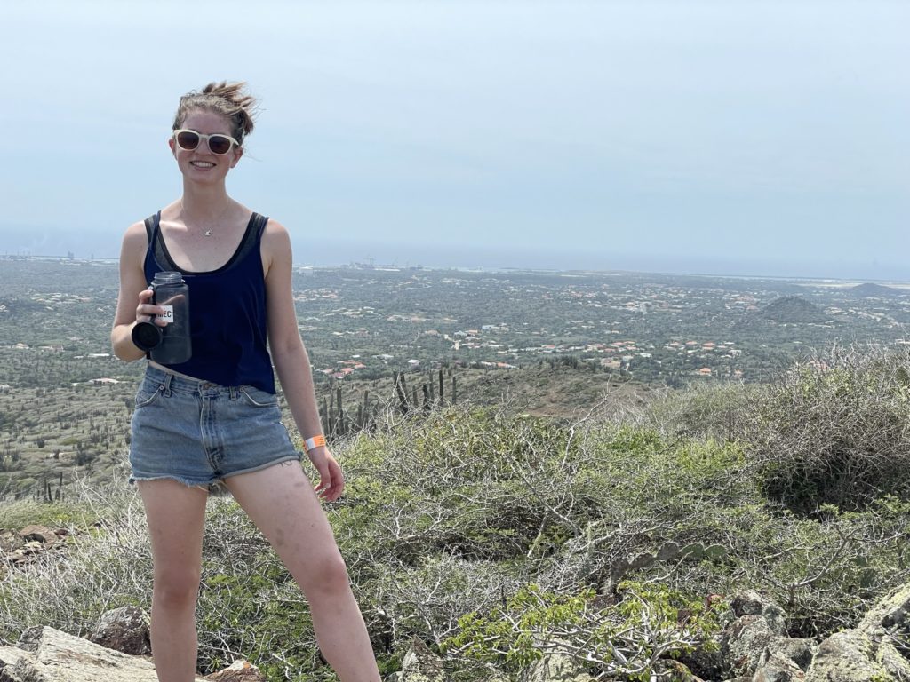
Sara and I had just finished topping out on Sero Jamanota and Sero Cabai. We made the short drive over the rough unpaved road the base of Sero Arikok. There’s a double track that one could drive up to gain more elevation, but we already had two flats on a previous day and I wanted to self-propel at least some portion of the route to really claim the top.
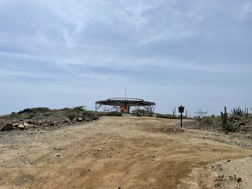
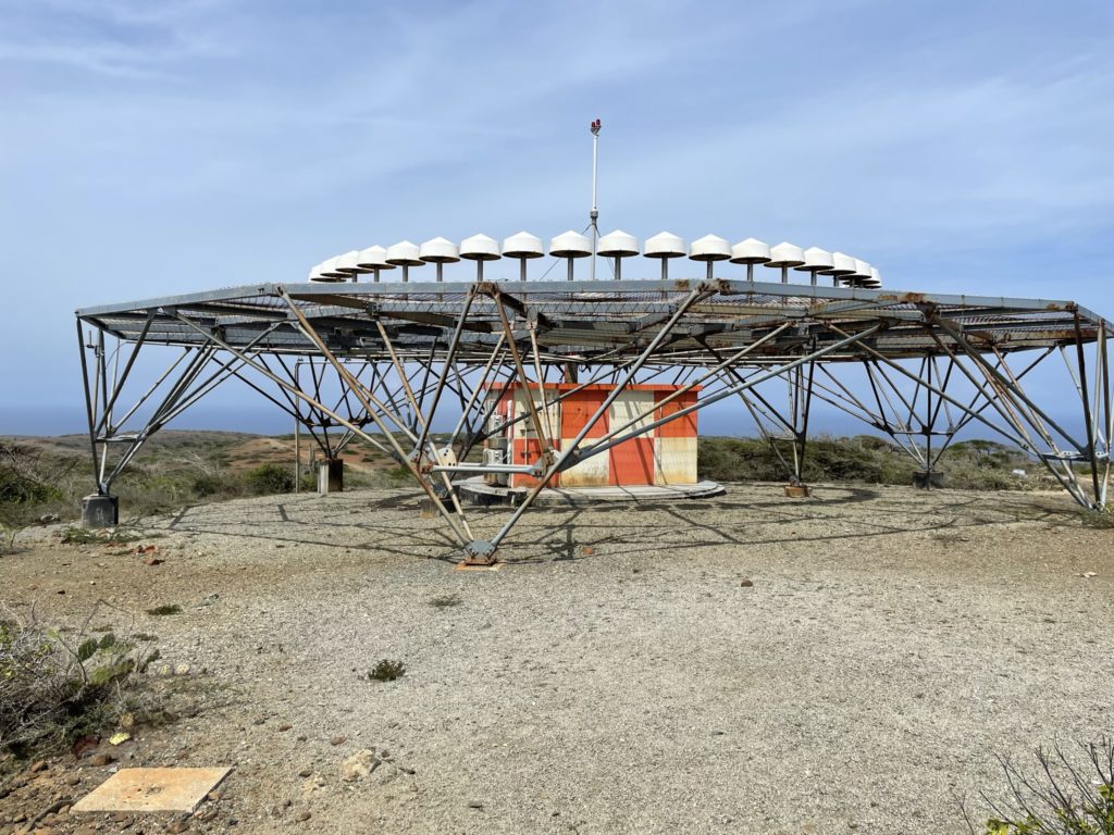
So with that, Sara and left the car at at around 130m elevation mark and walked the rest of the way up the road. The total distance to the top was maybe 700m and we got there in 10 minutes or so. It was entirely uneventful, although Sara was starting to feel some heat stroke like symptoms so the plan was to move on quickly. At the summit was a VOR structure for aircraft, but the summit was fairly long and broad so we didn’t feel cramped. We walked a bit further past it to a vantage point, took some photos and promptly left.


It took us 22 minutes in total and that concluded the last peak on my list for Aruba. All in all a fun adventure, albeit very warm and not the best views. At least it was easy hiking.