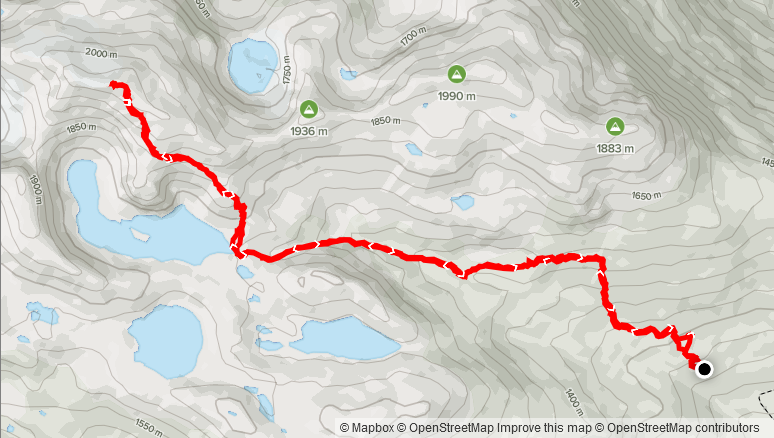
Elevation Gain: 1,101m
Distance: 14.55km
Total Time: 5 hours 43 minutes
Date: August 24th, 2021
Blanca Peak is the unofficial name for the 2117m peak that makes up the perimeter around Blanca Lake. Depending on who you ask it can also be considered the southern terminus for the Pemberton Icefield, lying just south of Exodus Peak. This peak became a popular destination throughout the summer of 2021, with many trip reports coming out describing a simple to attain summit with excellent views. It wasn’t on my list personally, but it came into my purview after I was looking to take advantage of a nice weather window mid-week. I initially reached out to Steven to see if he was doing anything on the Tuesday and that’s when he invited me to join Andrew and himself up to Blanca Peak. Andrew had already offered to drive, so I couldn’t pass the opportunity up. We agreed to meet at a church just off of Taylor Way in North Van for 5:30am.
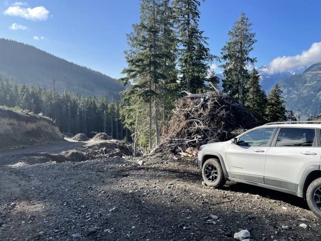
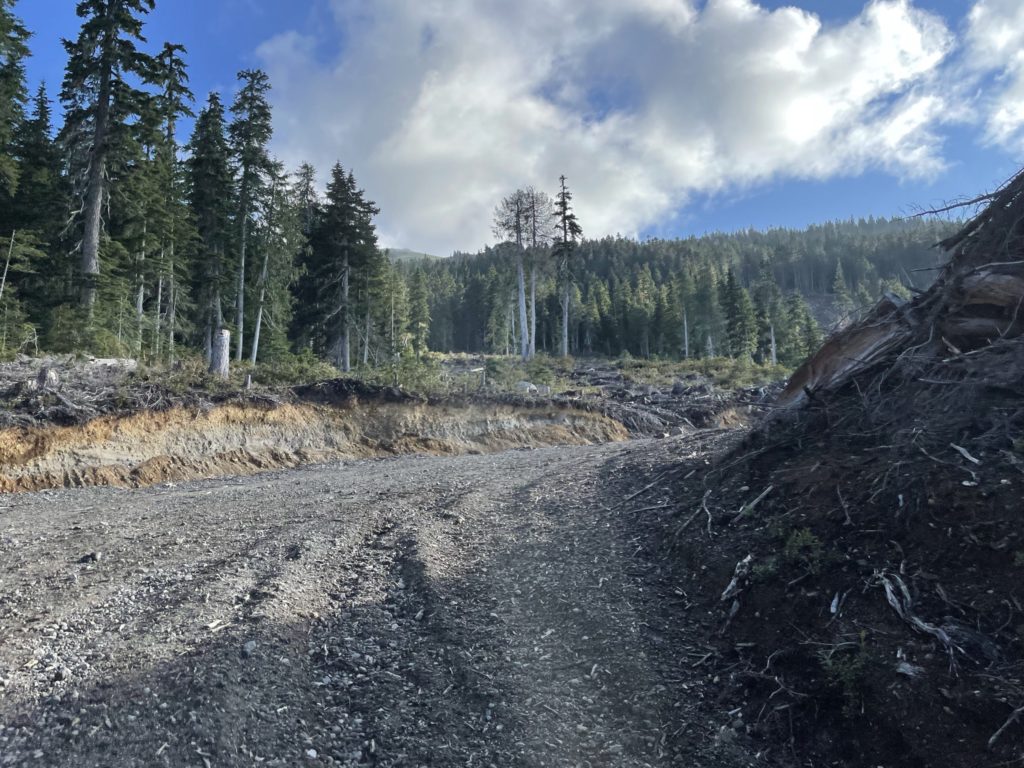
On the day of, I woke up for 4:30am and started the drive over not long after; at 5:10am. I pulled into the church where Steven was already loading his gear into Andrew’s jeep and we were on the road shortly after. The drive out to the trail head is a long one, with the majority of it spent on bumpy service roads. It was a bit surprising to me, after the fact, that this peak was so popular with such a huge FSR drive. Approximately 3 hours after leaving North Vancouver, we made it to a parking spot just shy of the trail head. Andrew made excellent work over some large water bars on the E300 spur road, but the final sections of the road weren’t worth the collateral damage so we pulled in at around 1180m in elevation.
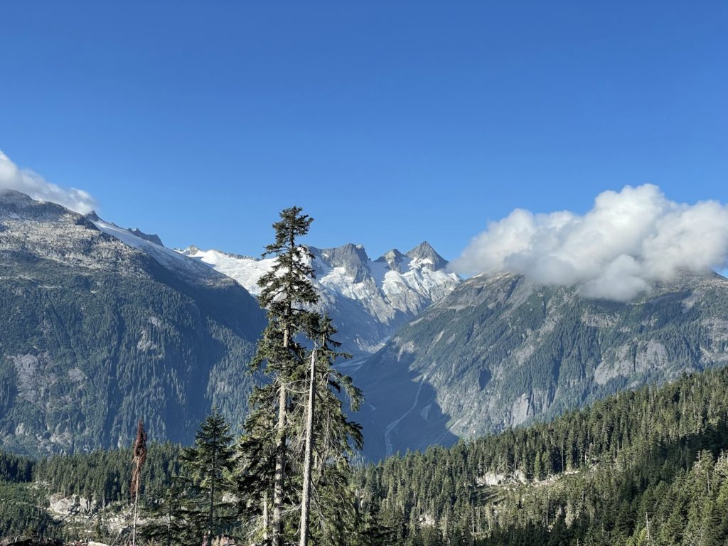
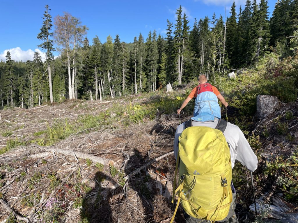
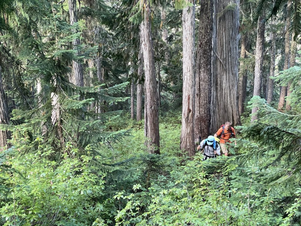
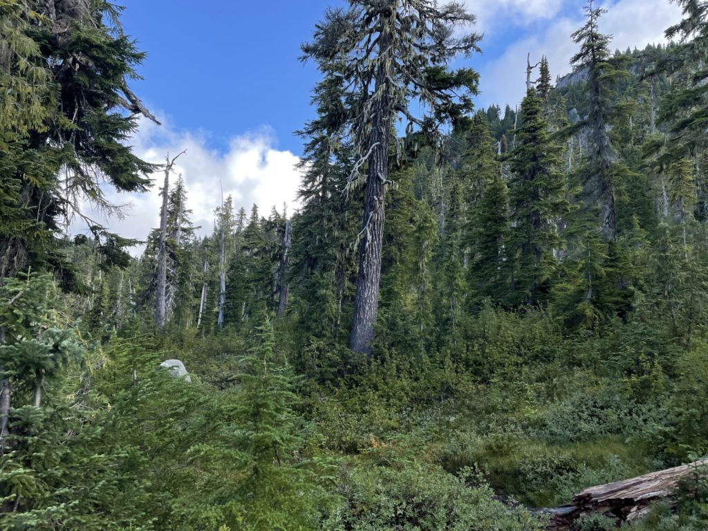
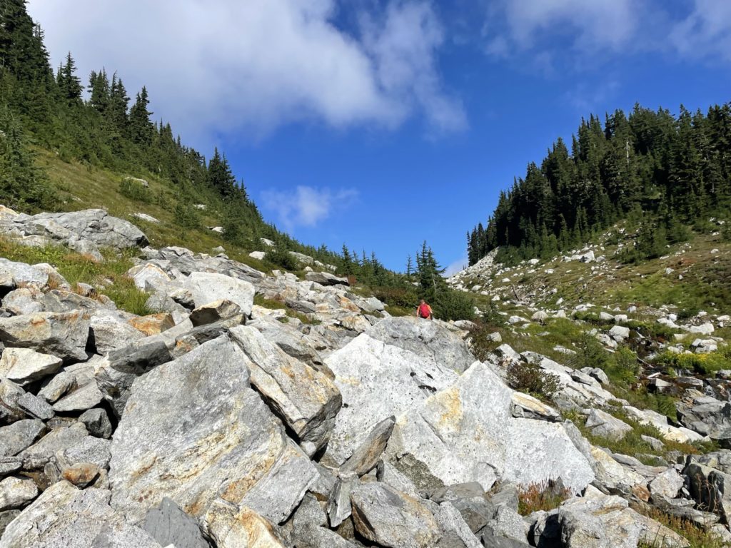
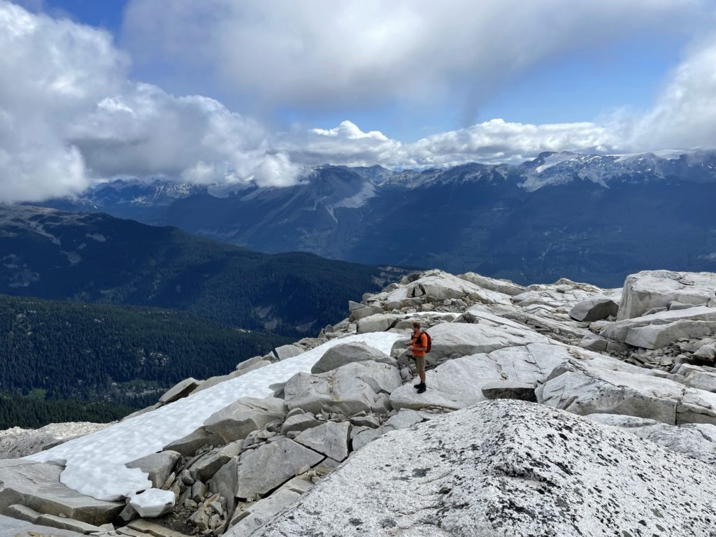
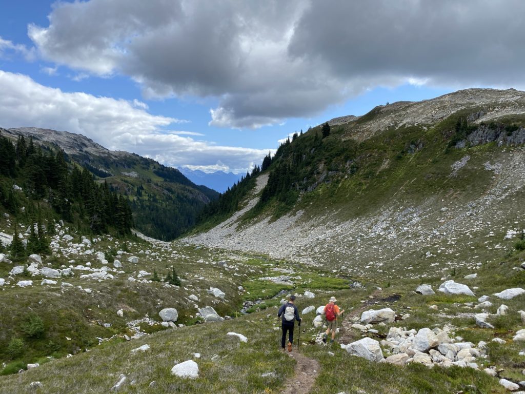
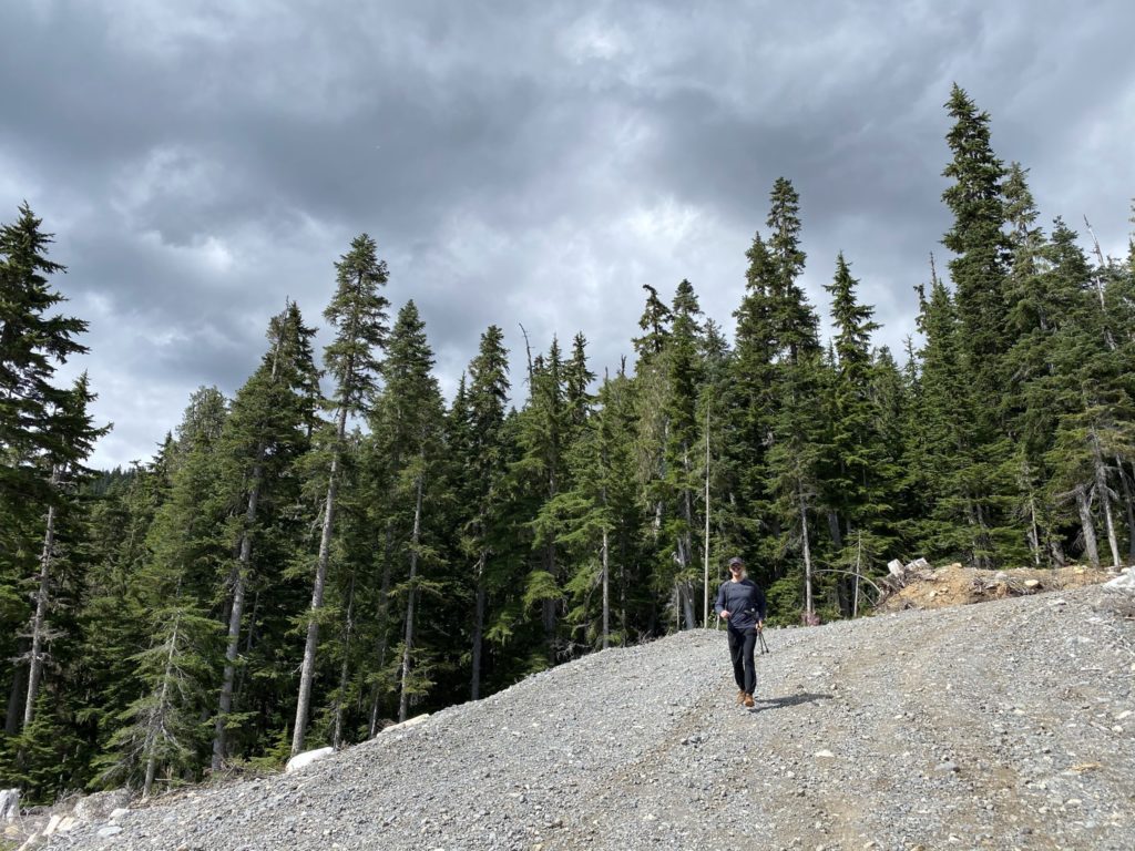
The parking area boasted some excellent views of Ashlu Peak and we all took the time to grab a few photos while packing our equipment. Somewhere around 8:30am, we started up the remainder of the E300 to the trail head. We initially missed the trail head thanks to my spacing out, but Steven caught the course error before we got too far and a short bushwhack lead us back on the proper trail. Once on the trail, I took the lead up a well established foot path that climbed at a moderate grade up through the trees. This section wasn’t particularly exciting so I tried to set a pace that would expedite our entrance into the alpine. Everyone put their heads down and kept a great speed, resulting in us breaking out to the top of the forest section in short time. From here we dialed back the pace a bit and continued through an alpine meadow with some minor elevation loss and gain along the way.
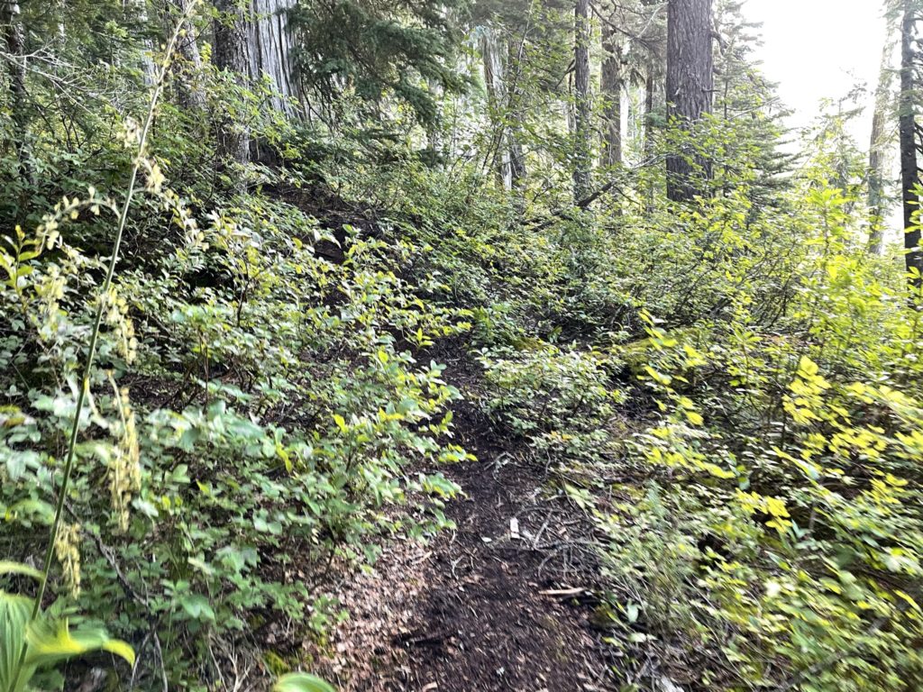
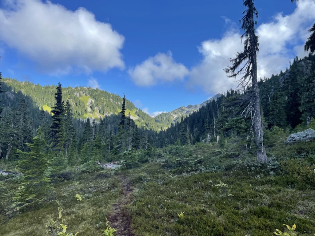
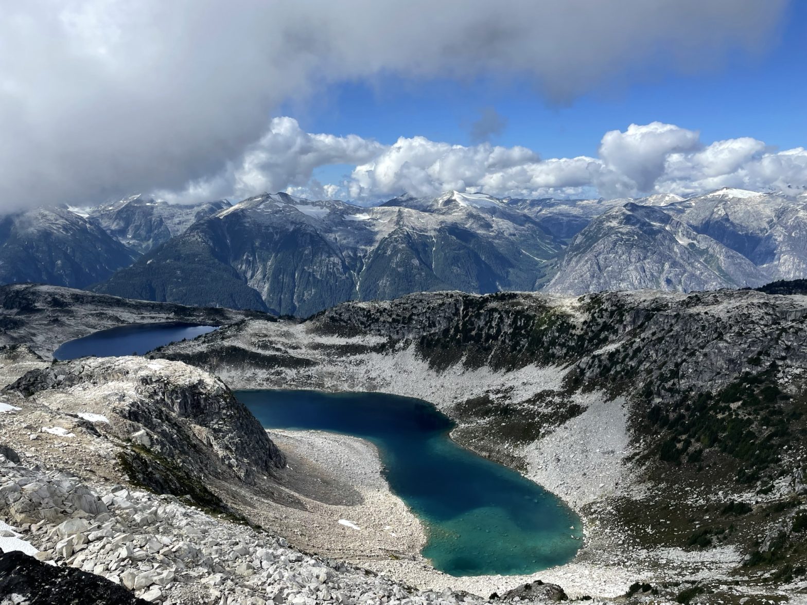
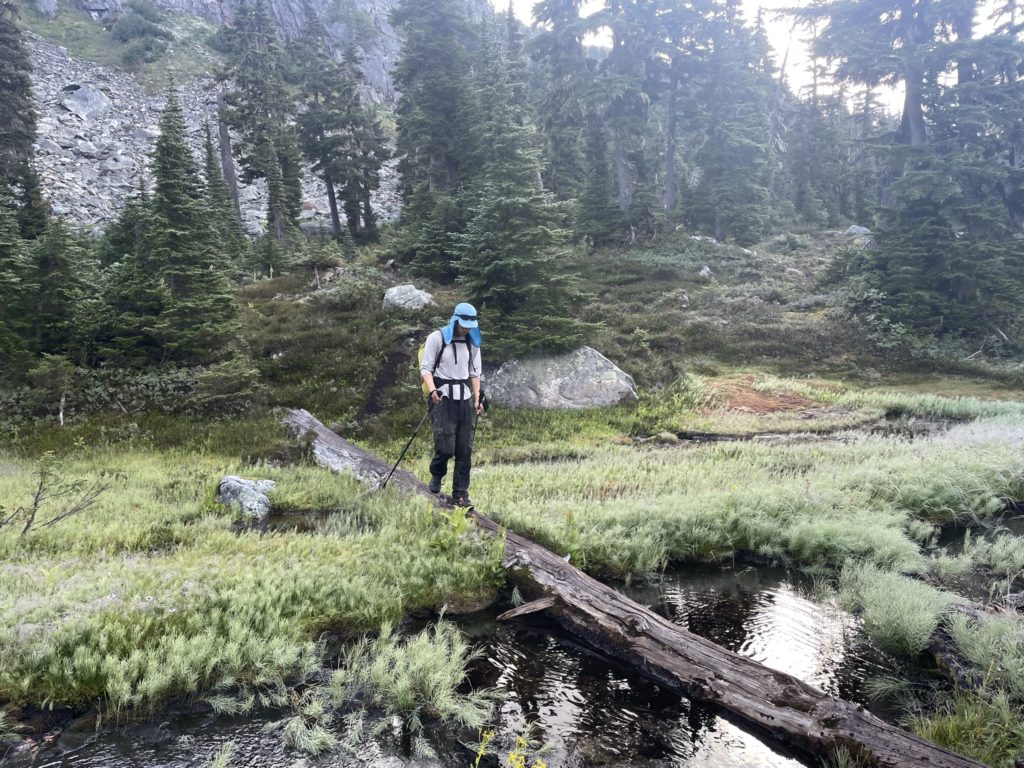
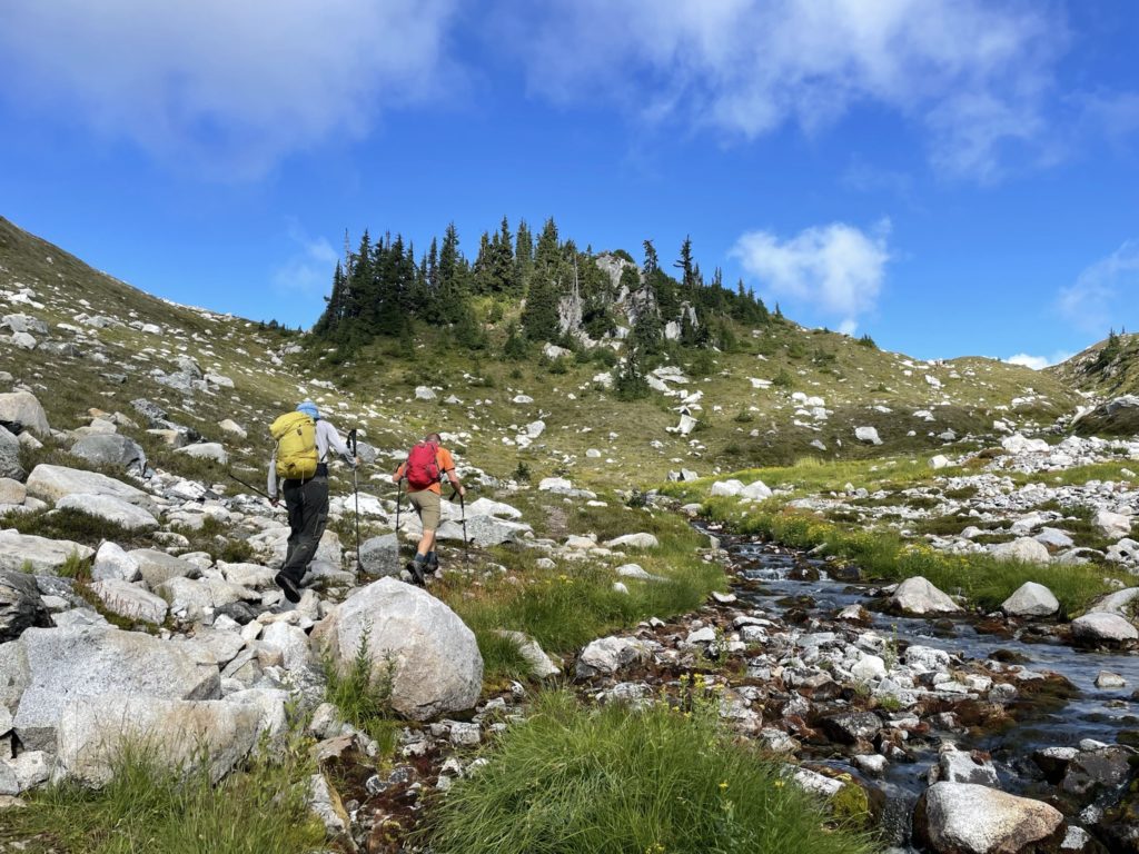
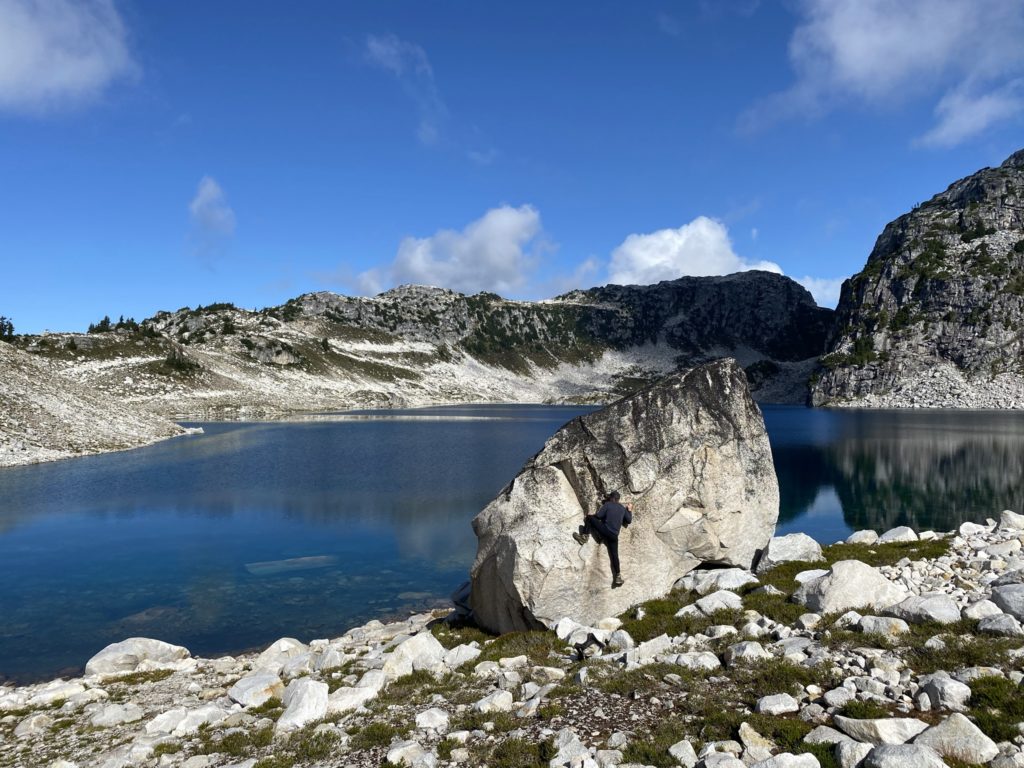
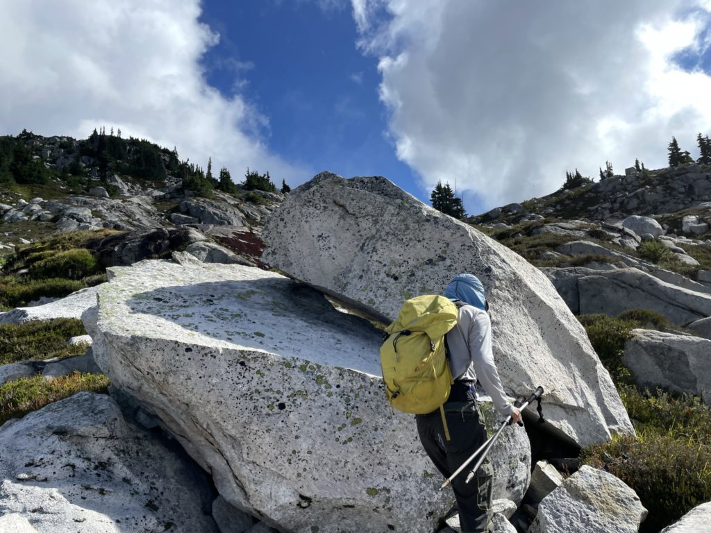
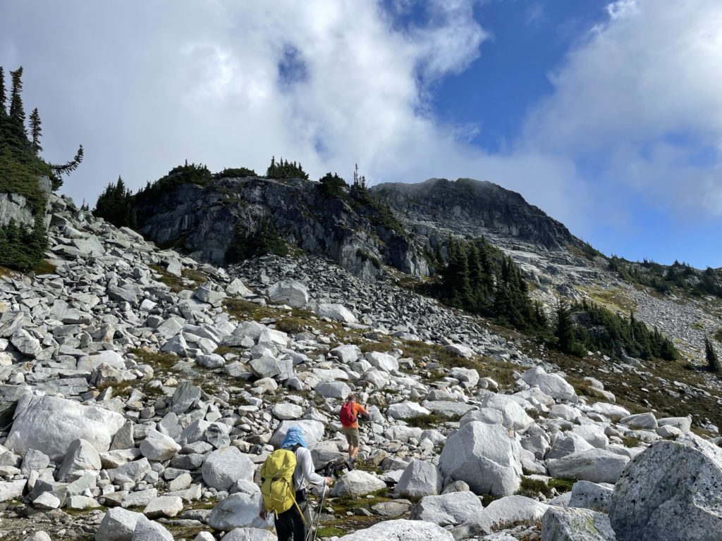
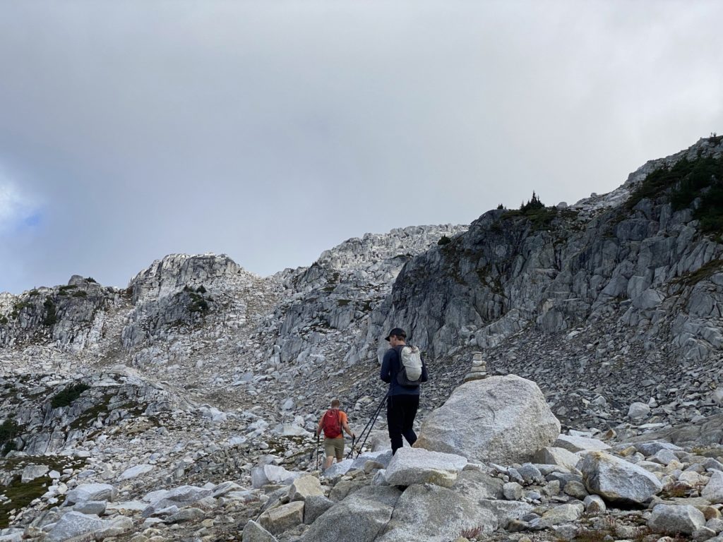
We soon linked up with the Maude Frickert Creek and followed a path that ran parallel to it. This section of trail had frequent mud pits and wet crappy terrain that was a pain to get through, but it was otherwise uneventful all the way to Blanca Lake. At the lake, Steven and I swapped trail runners for mountaineering boots to make traversing the large boulder field ahead easier. Meanwhile, Andrew scouted out some of the hills for his photography. After the gear change, we continued along the South shore of Blanca Lake, meandering through a large section of boulders. Steven and I both had a stab at climbing one of the larger boulders, with Steven making the only successful ascent.
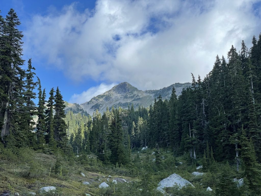
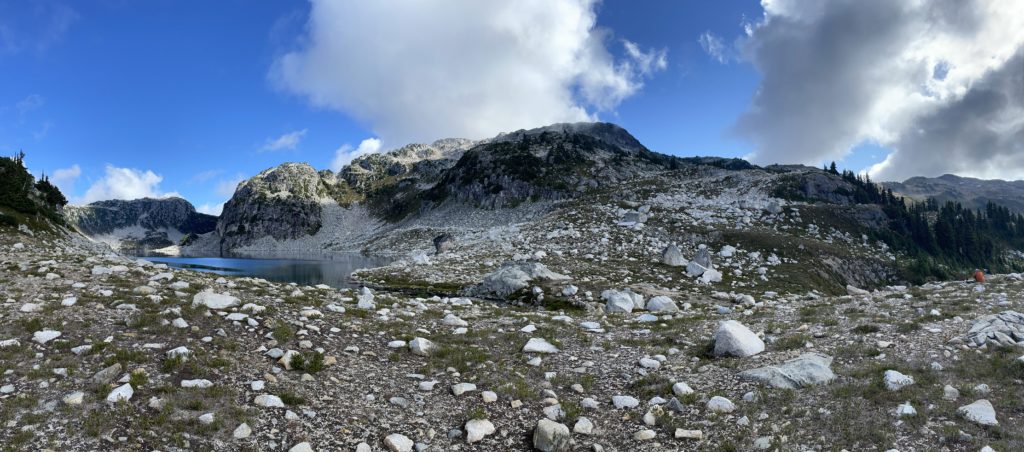
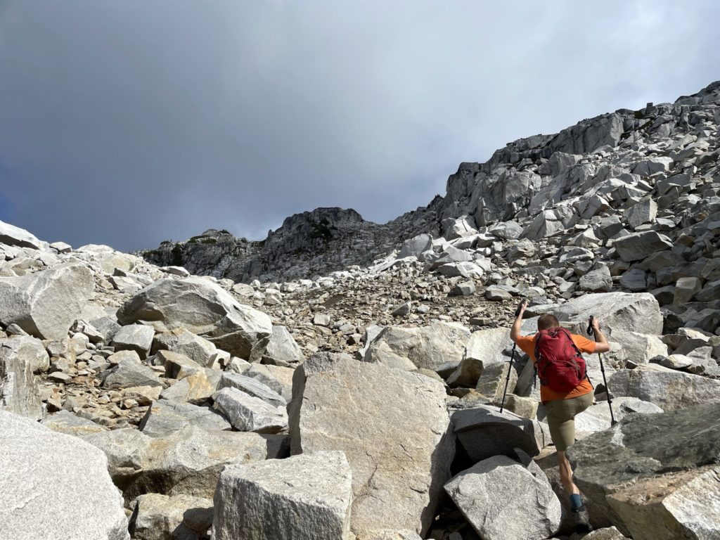
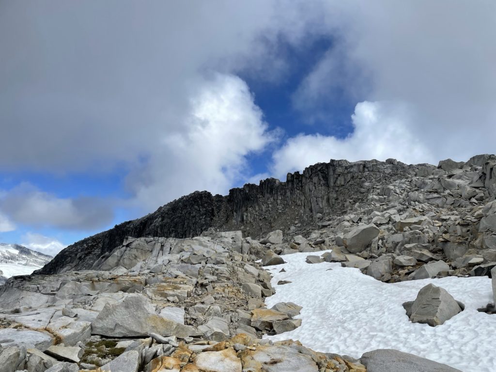
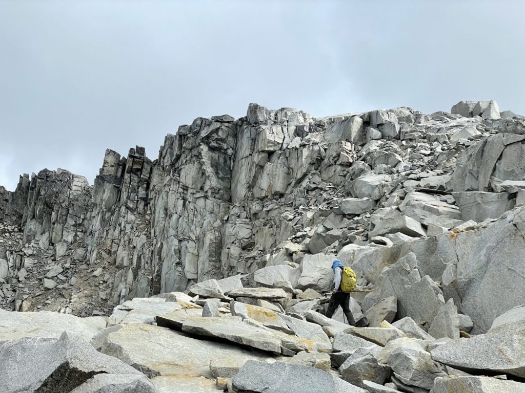
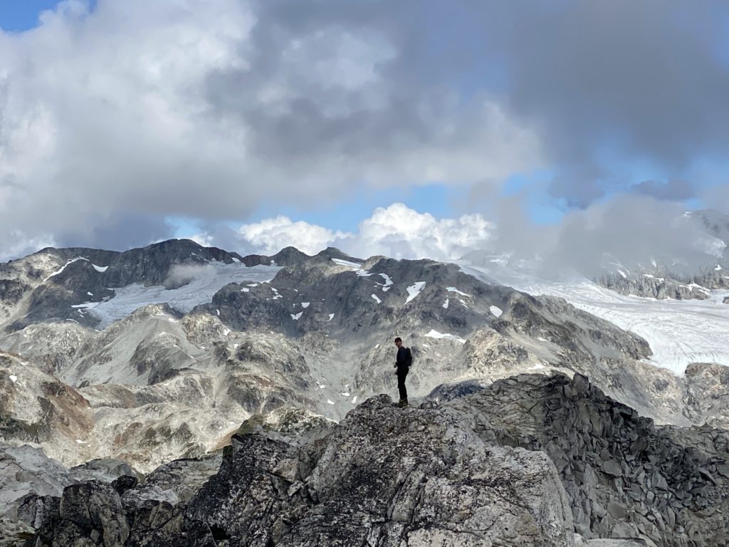
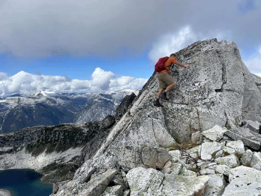
Once the brief boulder session was out the way we ascended up the south western side of Blanca Peak and topped out on the western shoulder. Here we spotted an obvious ramp that took us slowly up to the ridge line. When we crossed the first stretch of the ramp we traversed around a second shoulder where the summit finally became visible. The terrain was more of the same, never exceeding class 2 through large boulders. The route was quite obvious, although multiple options existed. We opted to continue up to the ridge from the western aspect and then from the ridge we reached the summit.

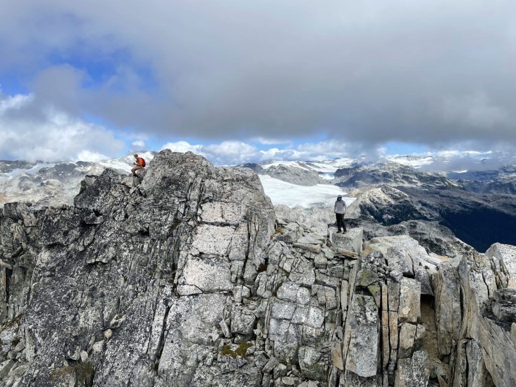
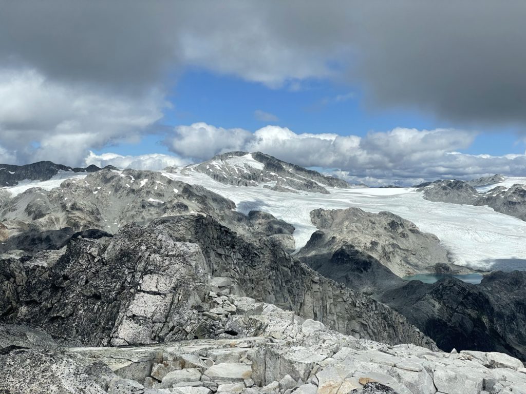
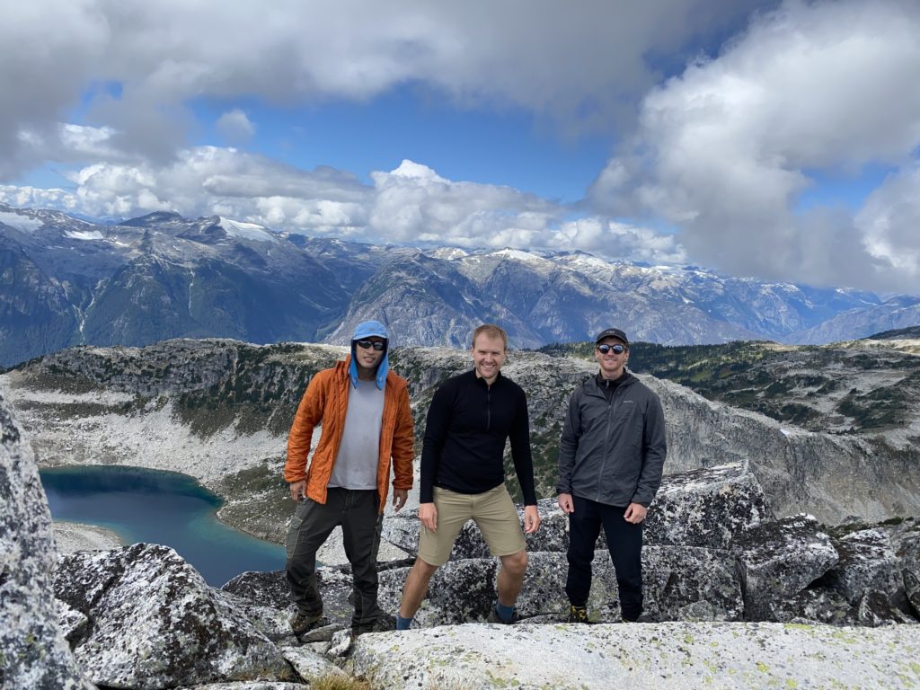
At the summit there was a clear secondary high point and I spared no time reaching it to confirm which was the true summit. Thanks to the GPS, I was able to see the first high point was indeed the summit and returned after a taking a few photos of the area. We all hung out around the top for 50 minutes or so and then when the cold started setting in, started our way down. Steven lead the way, back tracking over the same route we took up. The route back was straightforward and we were down to Blanca Lake again in short order. We swapped gears again and then Andrew lead the charge back down the alpine meadow. He set a fast pace and we kept this up until reaching the top of the steep forested section. Here, Steven took the lead and we mostly ran the entirety of the way back to the car.
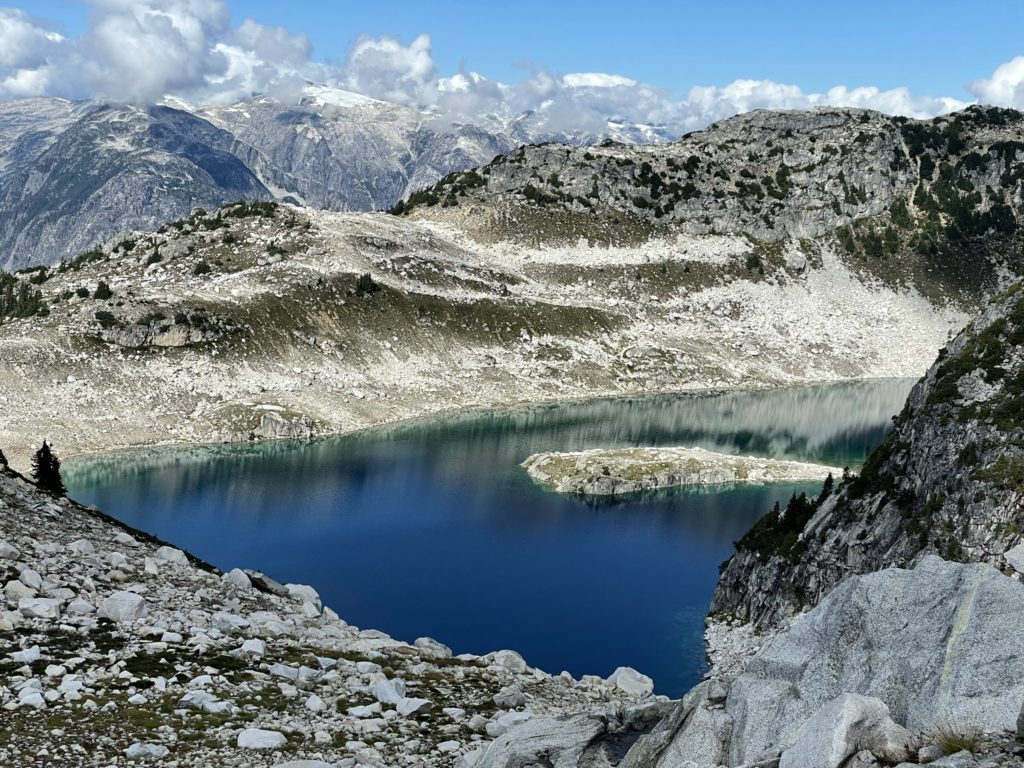
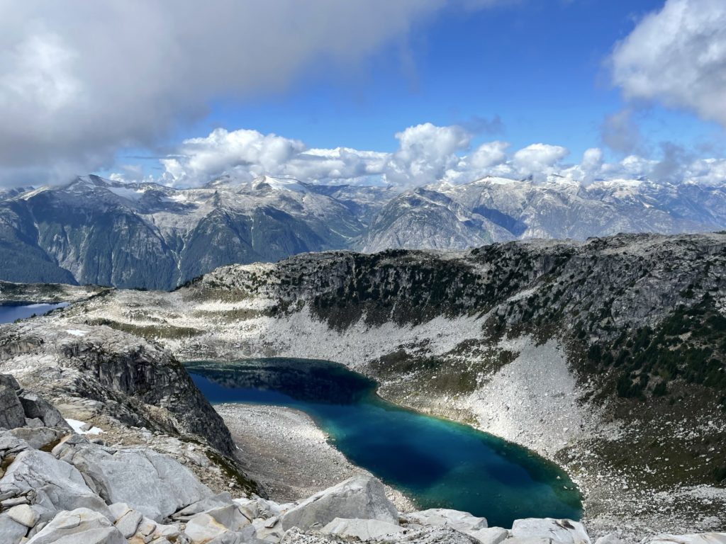
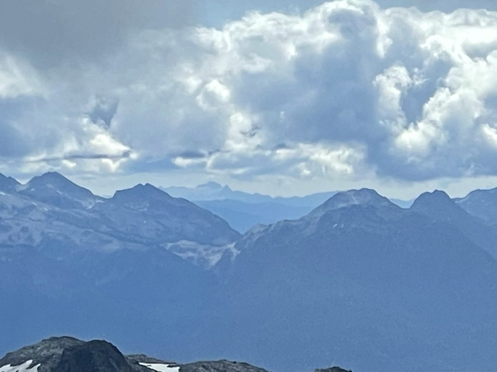
The total journey, ended up being much shorter than anticipated with most of the time being spent driving. The summit boasts some nice views of Blanca Lake and the surrounding ranges, but the route itself isn’t particularly exciting. If you’re looking for a tamer summit and don’t mind long drives, I’d say this peak makes for a great outing.