(Click on the “Download Route” button for the raw GPX file)
Elevation Gain: 253m
Distance: 4.49km
Total Time: 47 minutes
Date: August 4th, 2021
Dam Mountain is a small peak located directly west of Grouse Mountain that is part of a series of low forested summits before Crown Pass and Crown Mountain. In my opinion, it garners little interest from a scrambling or even hiking perspective and so I haven’t bothered to make a day of tagging Dam Mountain or any of it’s neighbors. Instead, I’ve been saving these summits for when I have extra time after my weekly grouse grind training sessions. On this particular day I finished the grind about 2 hours before my climbing session at the Hive and so had a bit of time to kill. A quick look on my GPS revealed that Dam Mountain was only 1.7km “as the crow flies” and if I ran most of it, I’d have more than enough time to grab it.
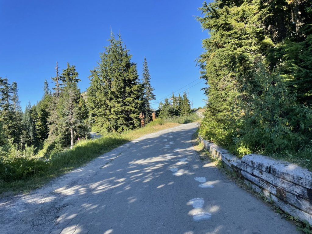
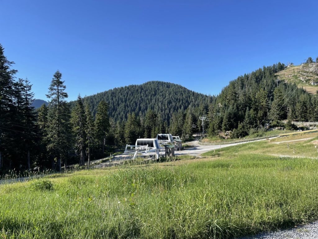
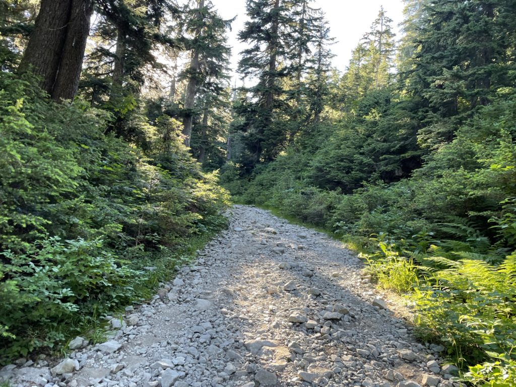
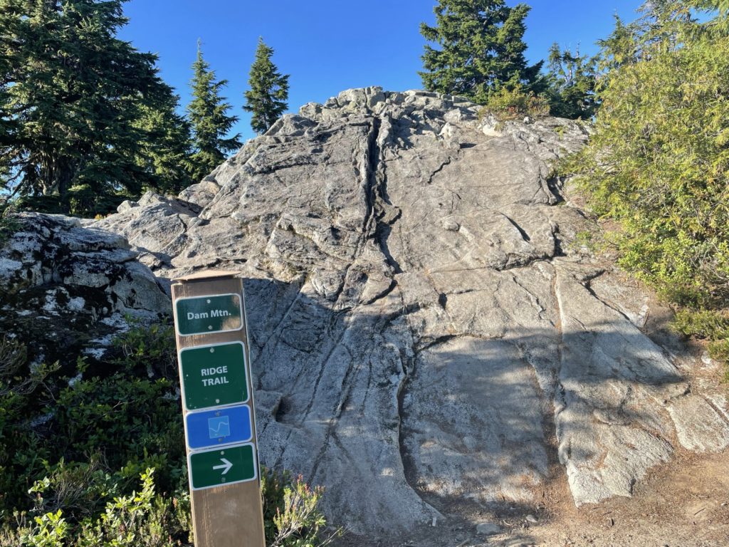
With the plan hatched, I started a light jog along the paved pathway towards to Grizzly Bear habitat. Shortly after the pavement ran out and then the trail continued along a service road that ran beneath the southwestern flank of Grouse Mountain. At the end of this service road there was a trail marker and I simply followed the directions for ridge line trail instead of the alpine trail. The trail got a bit rougher here with more loose rocks and steeper terrain, but it was no issue really.
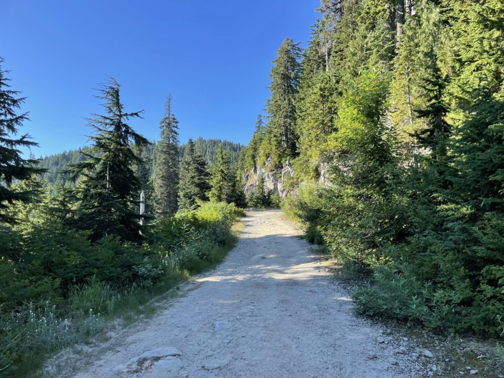
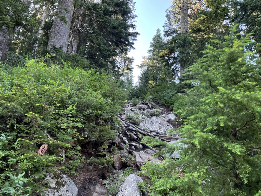
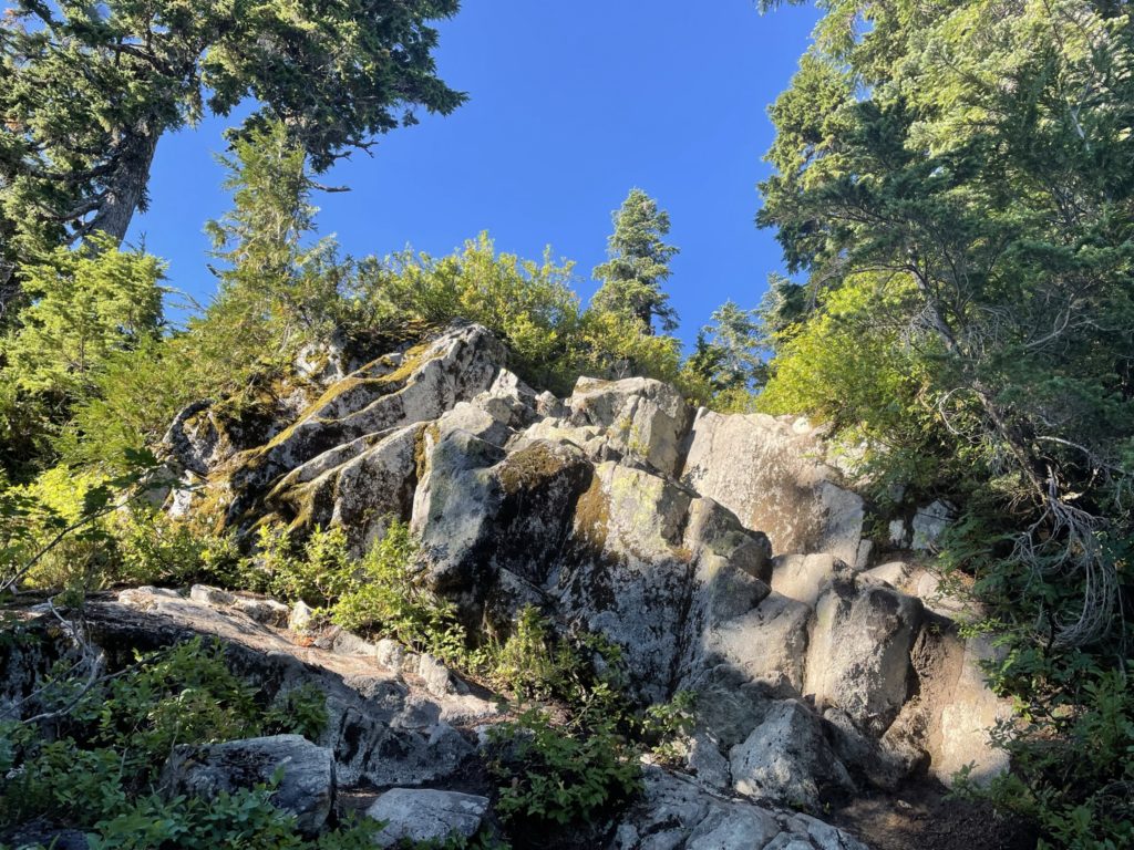
I continued up the trail for a few hundred meters more, taking care to not trip on the numerous pipe crossings and cables along the trail. At the end, I reached a small plateau with a heli-pad and muddy patch directly ahead. I hopped over the muddy sections, rock to rock, and then continued up towards the summit. Again it’s a bit more steep trail sections and then I arrived at a small block of scrambling to gain the summit. It’s a short section and took minimal effort to reach the top and finally I’m at the summit.
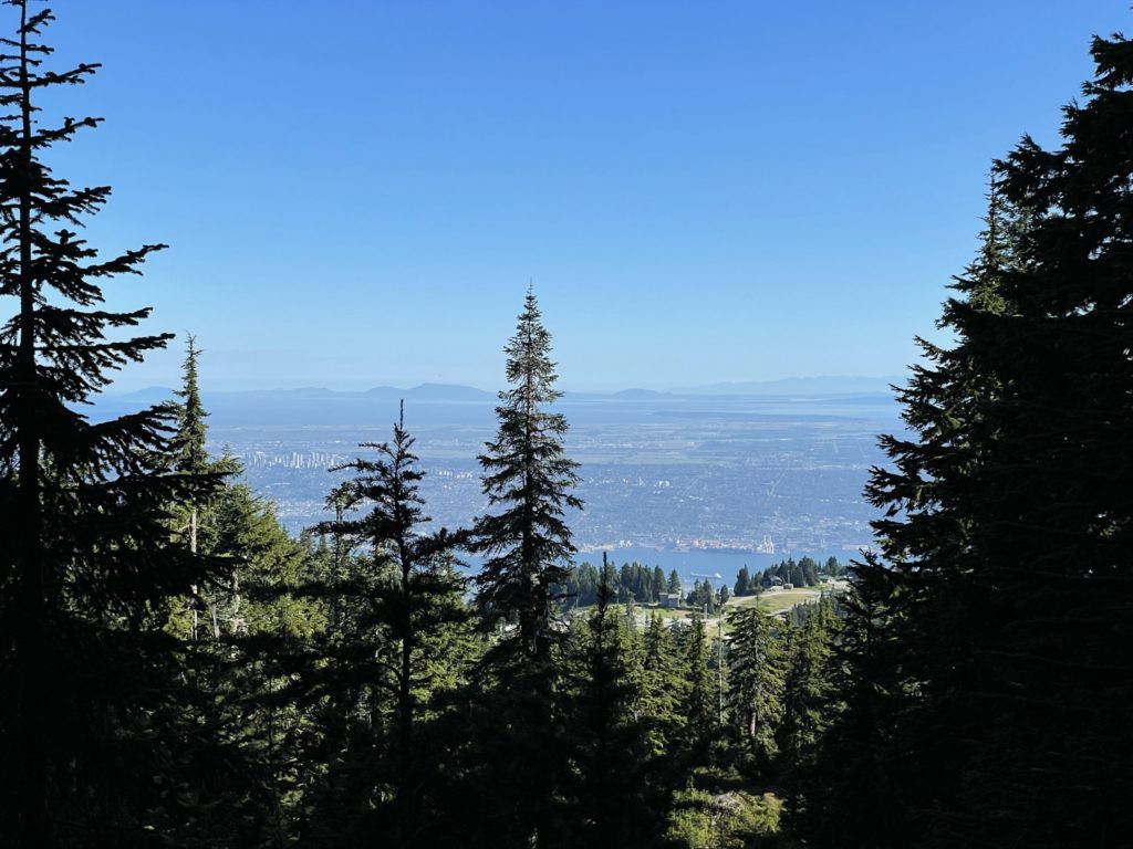
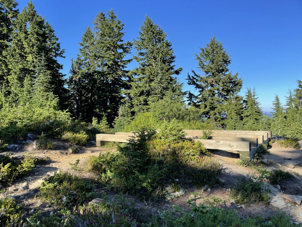
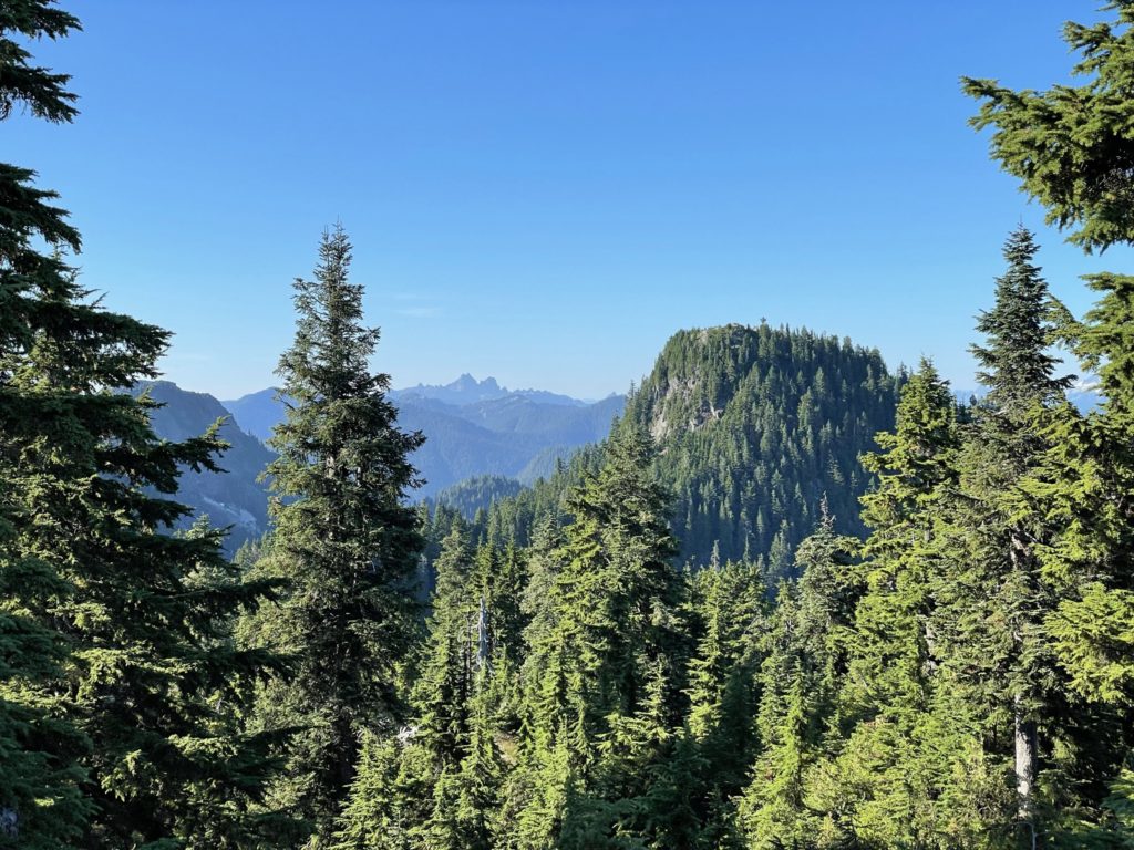
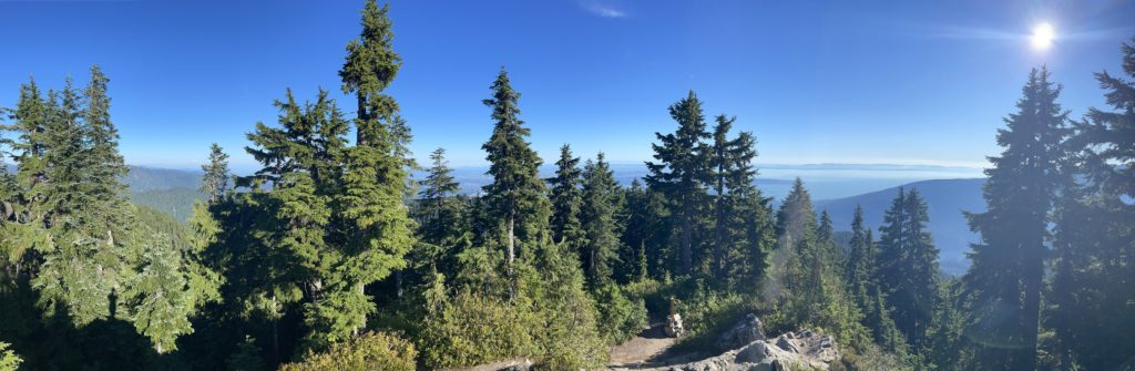
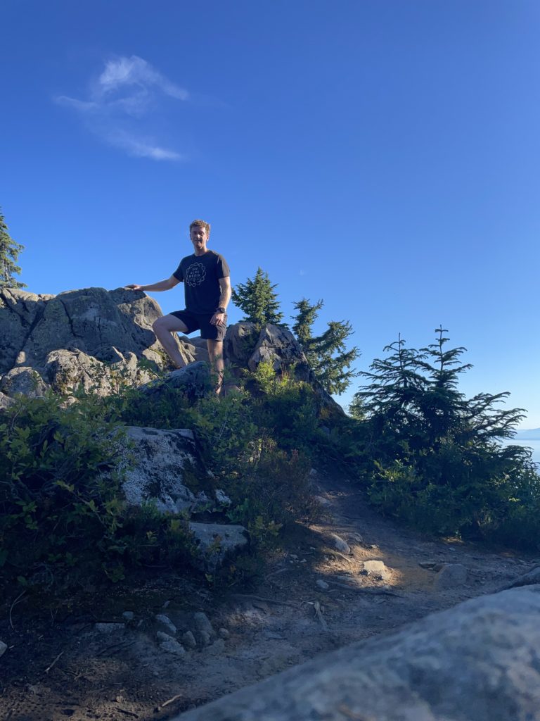
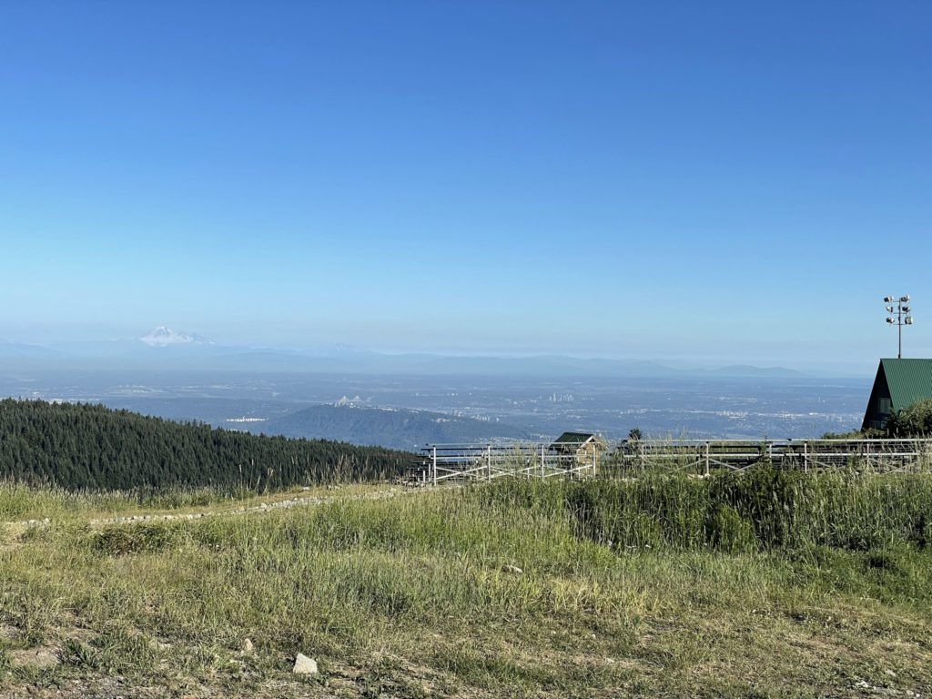
Surprisingly, there were actually okay views at the top. It’s a bit obscured by the tree line, but I had decent views of the bay and towards Goat Mountain and Sky Pilot area. Overall not bad and with the sun reaching the “golden hour” I ended up spending more time than anticipated at the top. Looking at my watch, I was now pretty close to being late for my climbing session, so I back tracked the way I came up and tried my best to keep a running pace all the way back to the gondola. Despite a few sections of steeper trail it was pretty straightforward to maintain speed and within 10 minutes or so I was back from the summit and boarding onto the gondola.