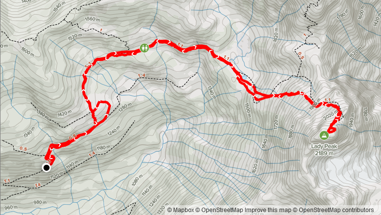
Elevation Gain: 1,076m
Distance: 11.69km
Total Time: 5 hours 9 minutes
Date: May 22, 2021
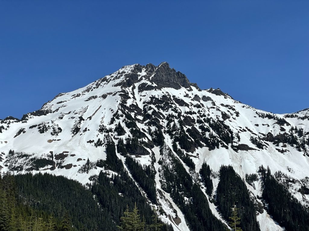
Lady Peak is a 2189m peak that makes up part of the iconic Cheam range visible from much of the Fraser Valley. It’s one peak over from the famous Mount Cheam that see’s the majority of visitors each year. In the summer time, Lady Peak involves climbing some steep scree slopes and then some class 2/3 scrambling along a ridge line to make the summit, but is a popular route as well. During the winter and spring time the upper slopes are popular among ski touring groups, but the summit itself does not appear to receive much attention. I couldn’t find any recent spring time trip reports online, except for one Peak Bagger entry from May 22nd, 1994 (that’s not to say people don’t do it however).
Jacob and I set our sights on Lady Peak after seeing the conditions around the Chilliwack area were looking good with lots of summits becoming clear of snow. A quick scan of the most recent satellite imagery showed that most of the route on Lady Peak was snow covered, but the summit ridge line was relatively snow free. Adding to that the Mount Cheam FSR was snow-free up to around 1100m, it meant a short total distance and if we failed we’d still have time to bag a small peak on the way back. We planned to leave Vancouver by 6am and hope to be at the trail head by 8am or so to give adequate time to beat the sun and afternoon avalanche activities.
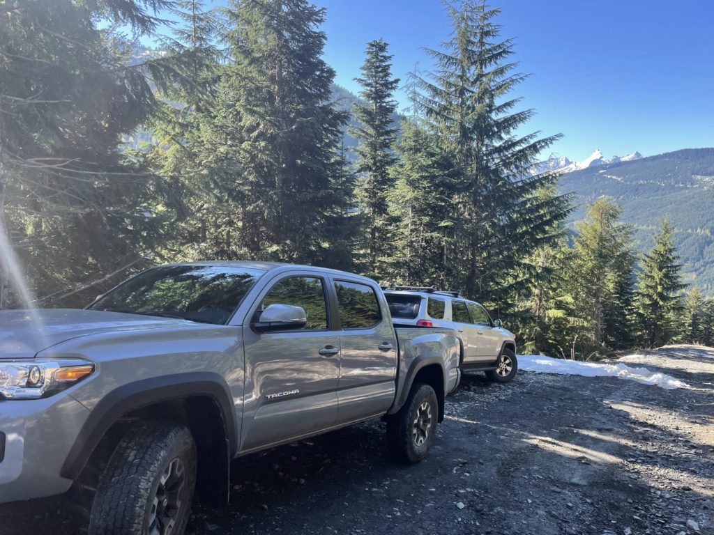
On the Saturday, I picked Jacob up at around 6:10am from East Vancouver and we started the drive out to Chilliwack. By 7:40-ish we made it to the turn off for Foley Creek FSR and started the long drive up towards the Mount Cheam trail head. Once on the Mount Cheam trail head it was slower going than anticipated due to the unending amount of water bars. As many have stated in other reports a high clearance AWD is pretty much a must to drive up this road.
By 8:20am we made it to the snow line and parked. We were a bit behind schedule so tried to set a faster pace heading down the FSR. The snow was still hard packed and the sun was just starting to hit the Northern slopes of Lady Peak, so I was optimistic the conditions would be fine for our ascent and descent. After a bit of a slog in the hot morning sun, we finally made it to the trail head and started down the initial flat bit towards Spoon Lake.
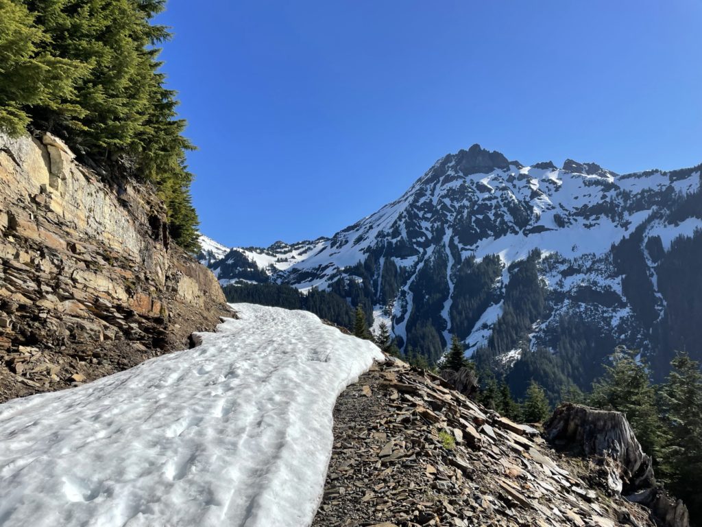
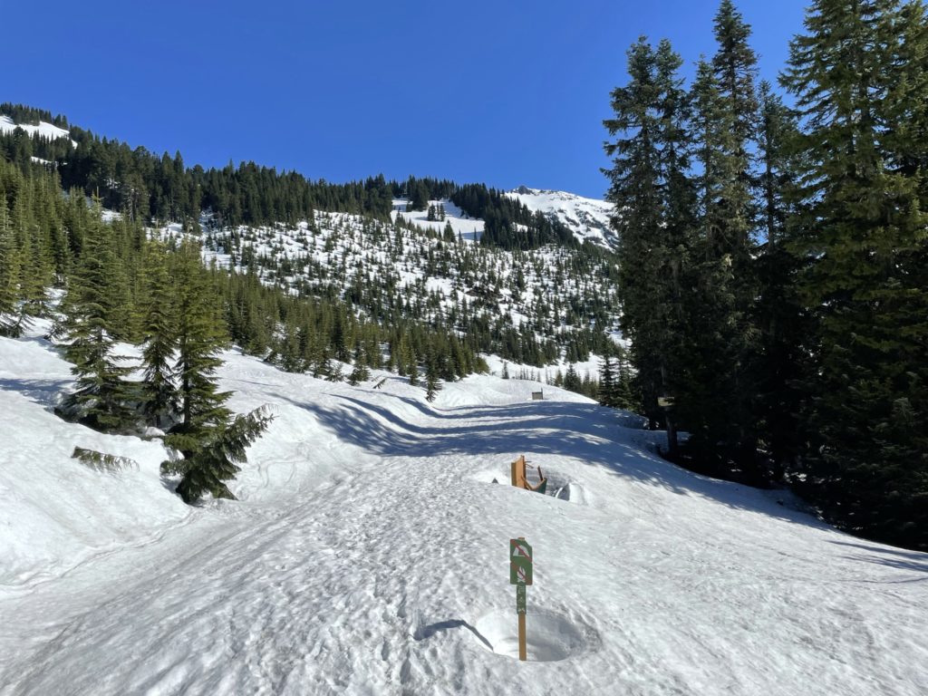
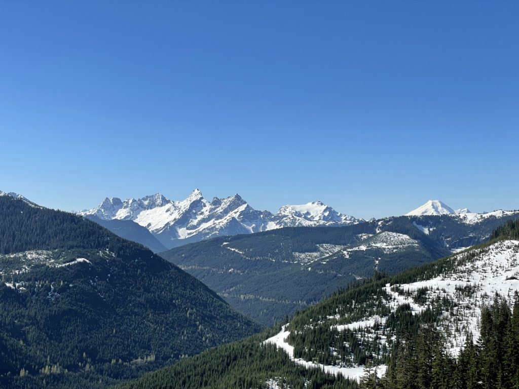
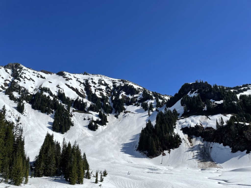
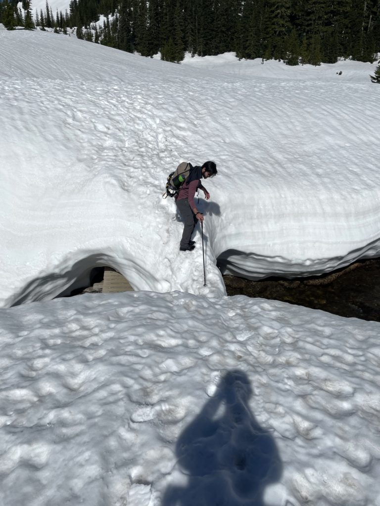
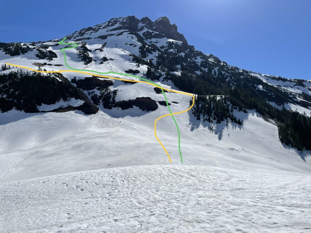
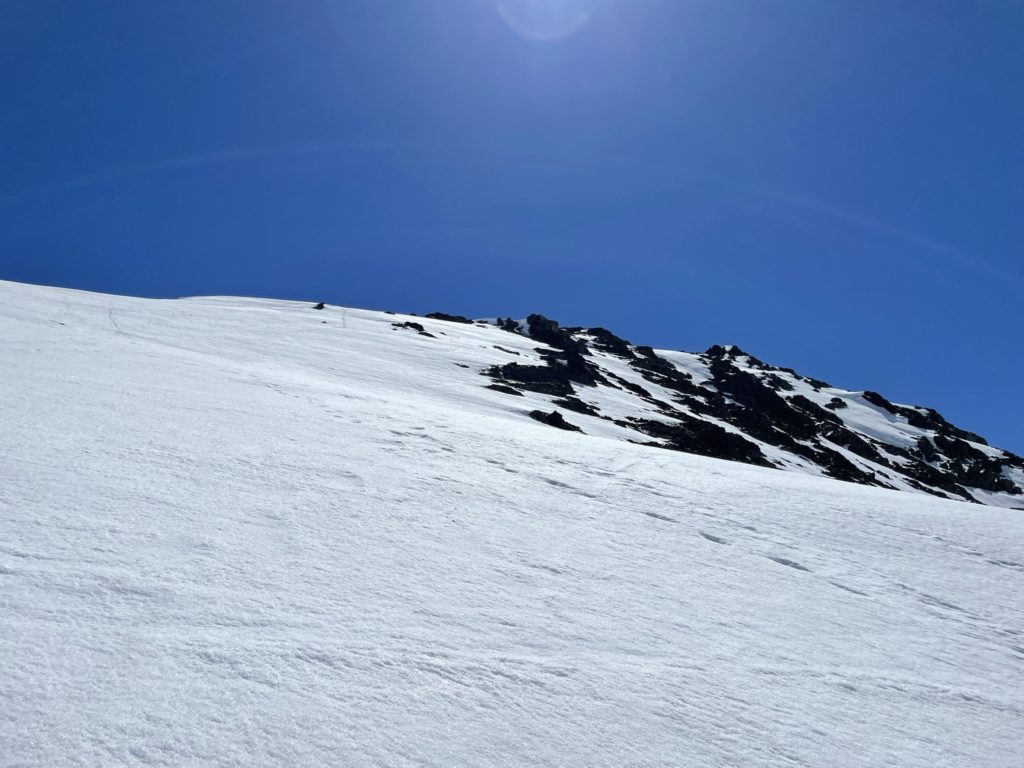
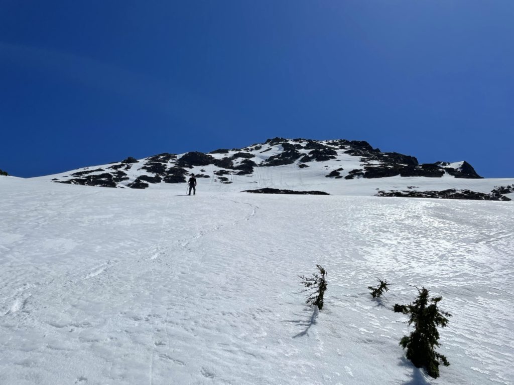
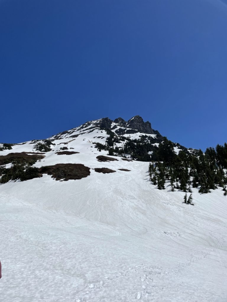
After passing the Lake we decided to skip the tamer summer route and boot pack straight up the first slope to a lower bench. At the bench we could continue climber’s left where the summer route rejoined or continue up a steep gully to gain a second snow bench. The snow felt solid, so we went for the gully approach and soon made it to the second bench.
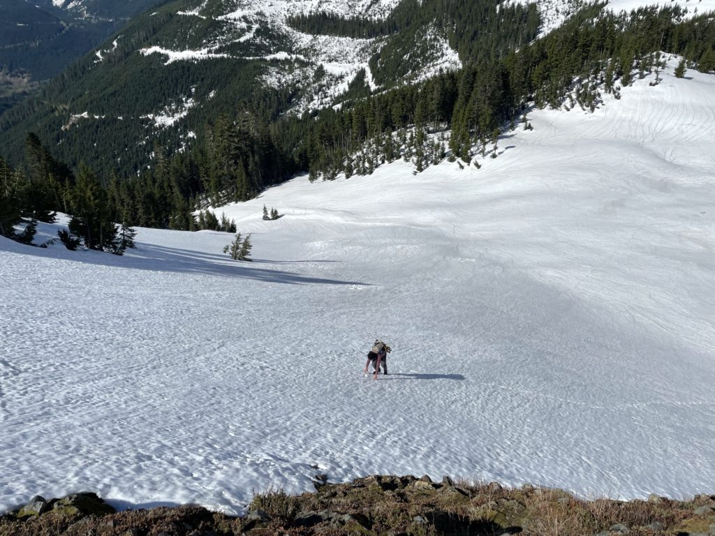
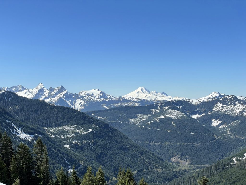
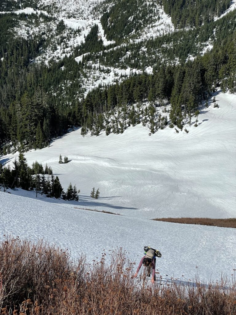
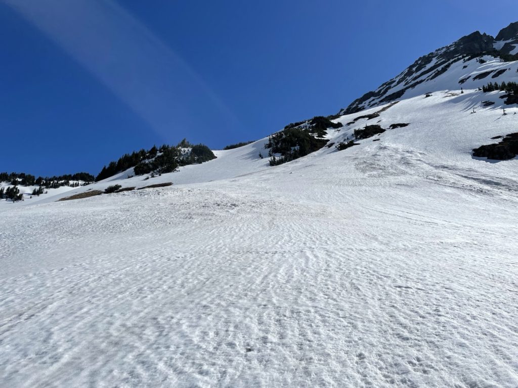
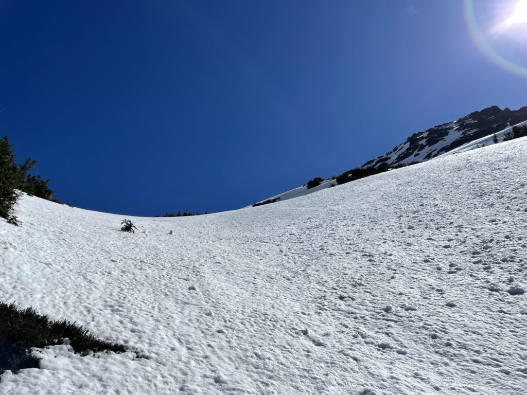
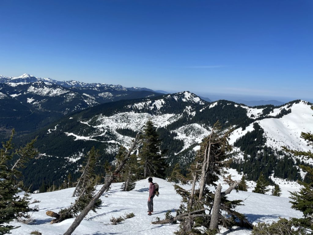
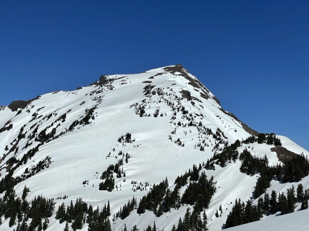
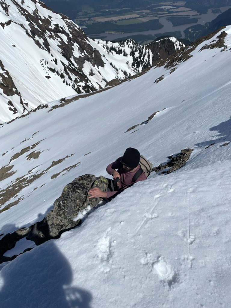
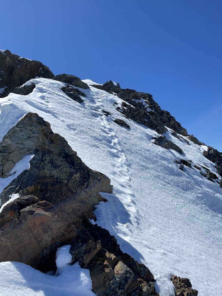
Here the terrain mellowed out for a 100m or so and we linked up with where the summer route normally goes. After the mellow section the fun began. First was steep snow line we were forced to take to gain the ridge line. The snow was quite hard at the upper elevations and we had to take extra care not to slip as it’s a long ways to the bottom.
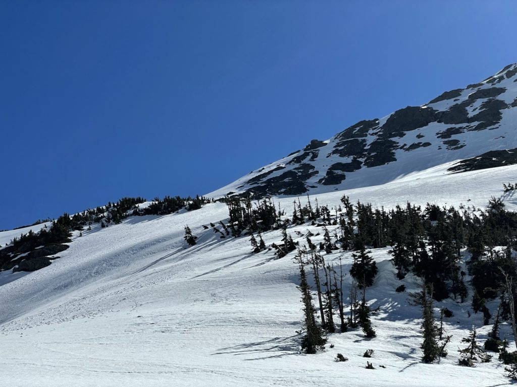
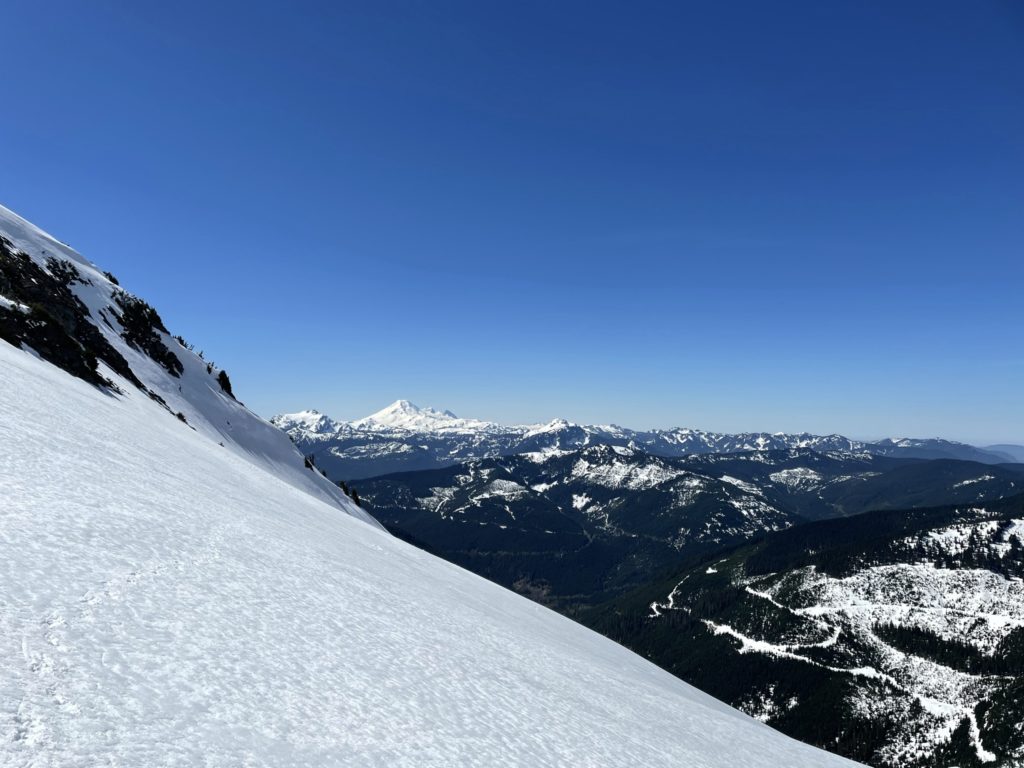
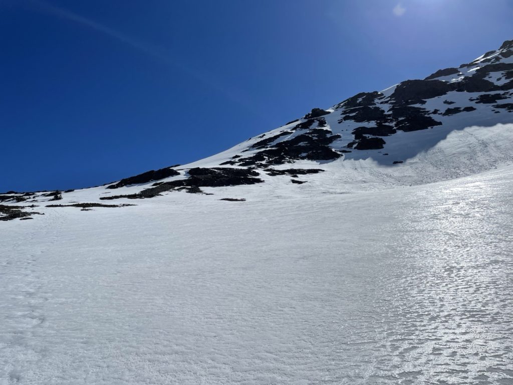
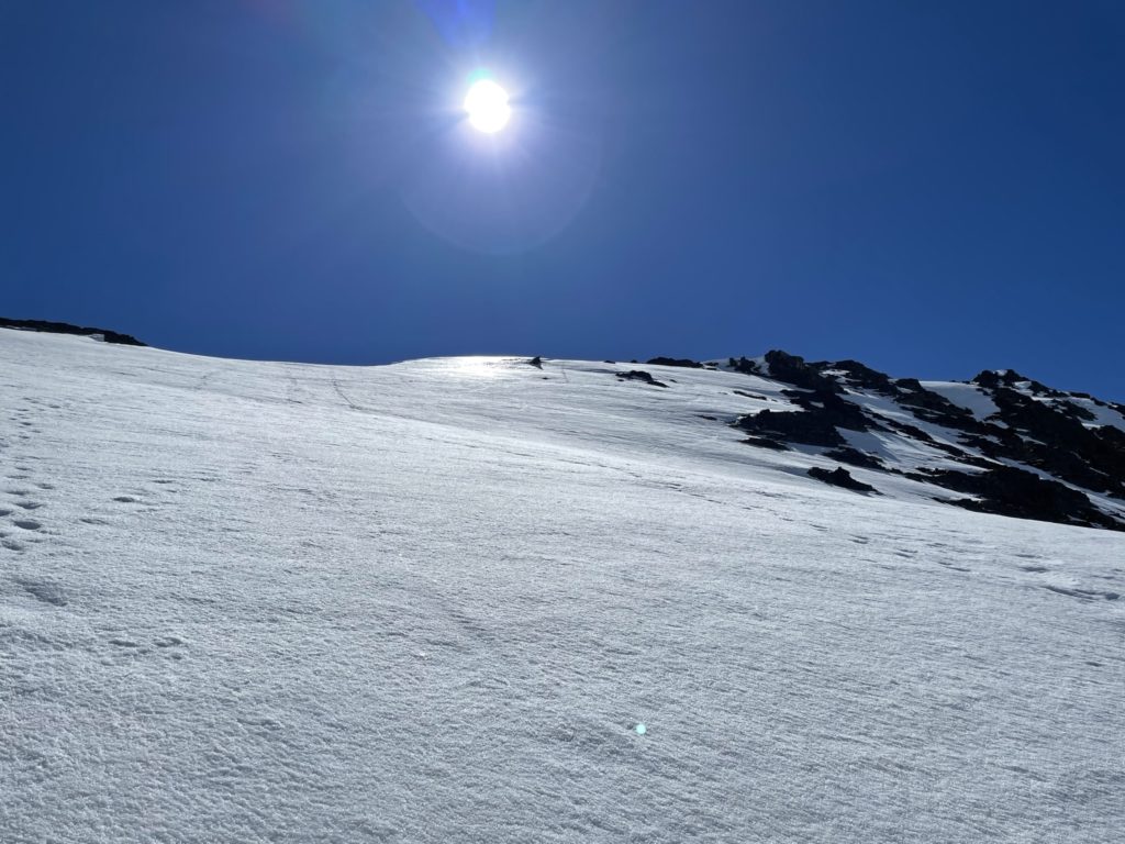
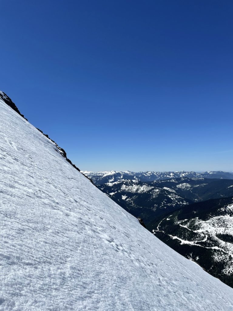
Once on the ridge, we traversed on the Western aspect to avoid the huge cliffs on the other side. There was small 6 foot vertical step we scrambled up and then more class 2 scrambling until we reached an exposed gully traverse. Here was a precariously perched snow bridge with a sheer cliff on one side and steep exposed slopes that ran to the bottom on the other. Thankfully the snow was solid and we traversed across as quickly as possible. From the Gully there’s a steep broad ramp to the summit and we simply boot packed up until just below the crux of the route. From the Northern side, to gain the summit was a near vertical pitch with steep snow at the bottom and big exposure on either side. Getting up looked manageable, but I was concerned the down climb was going to be too difficult.
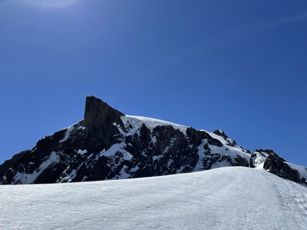
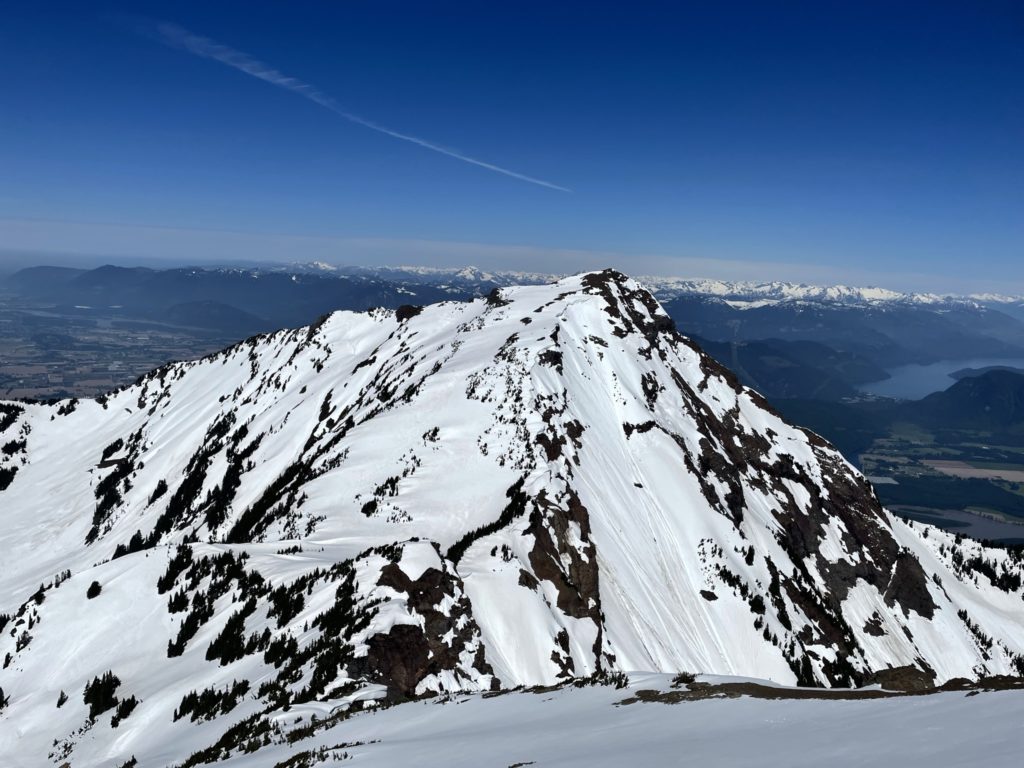
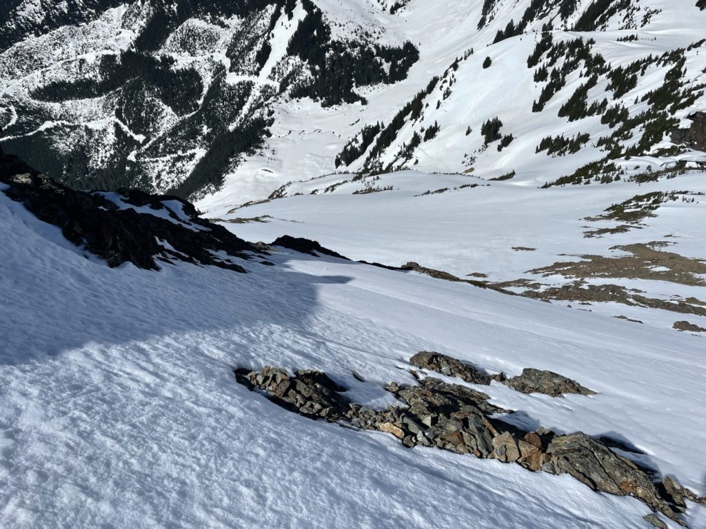
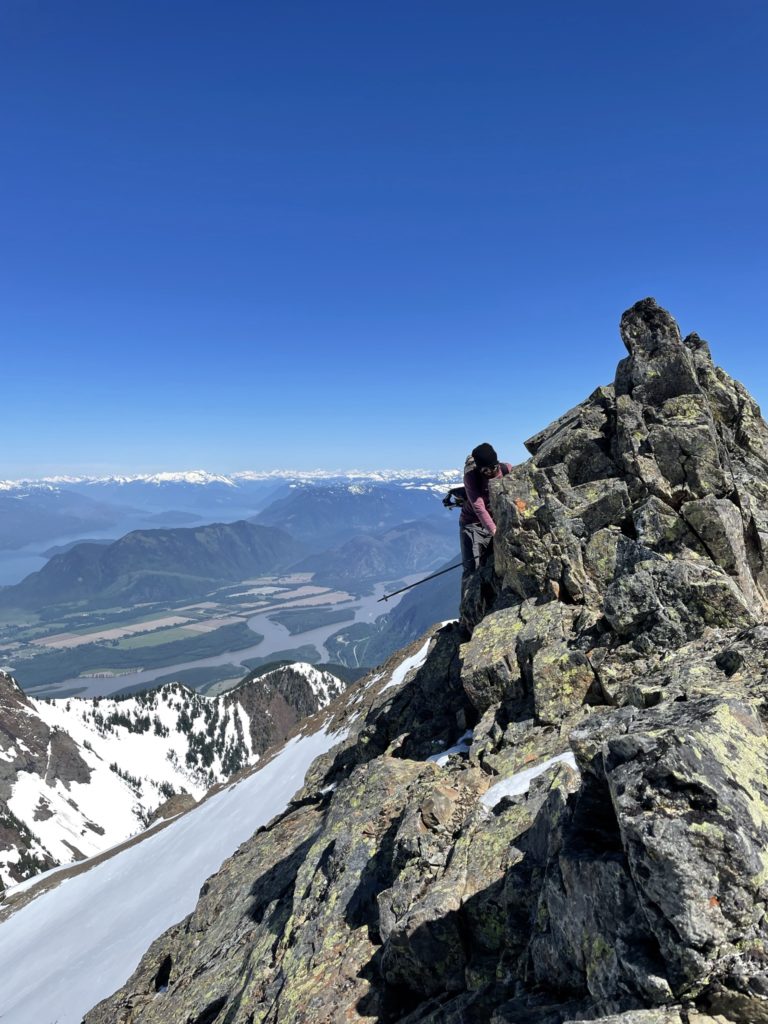
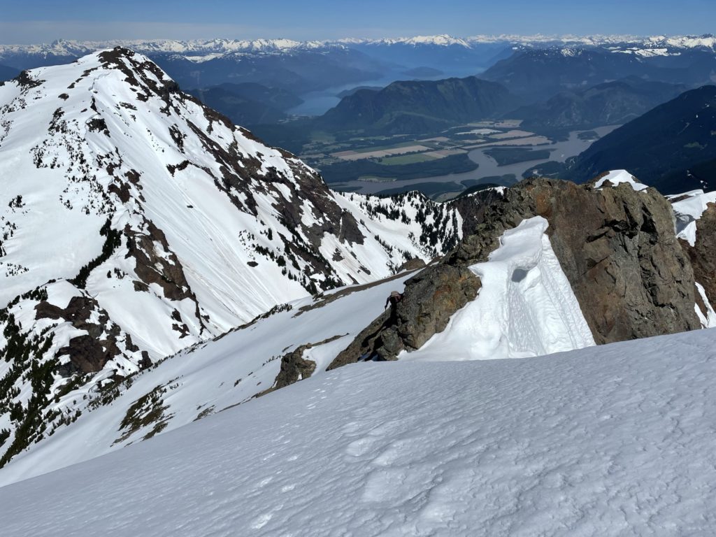
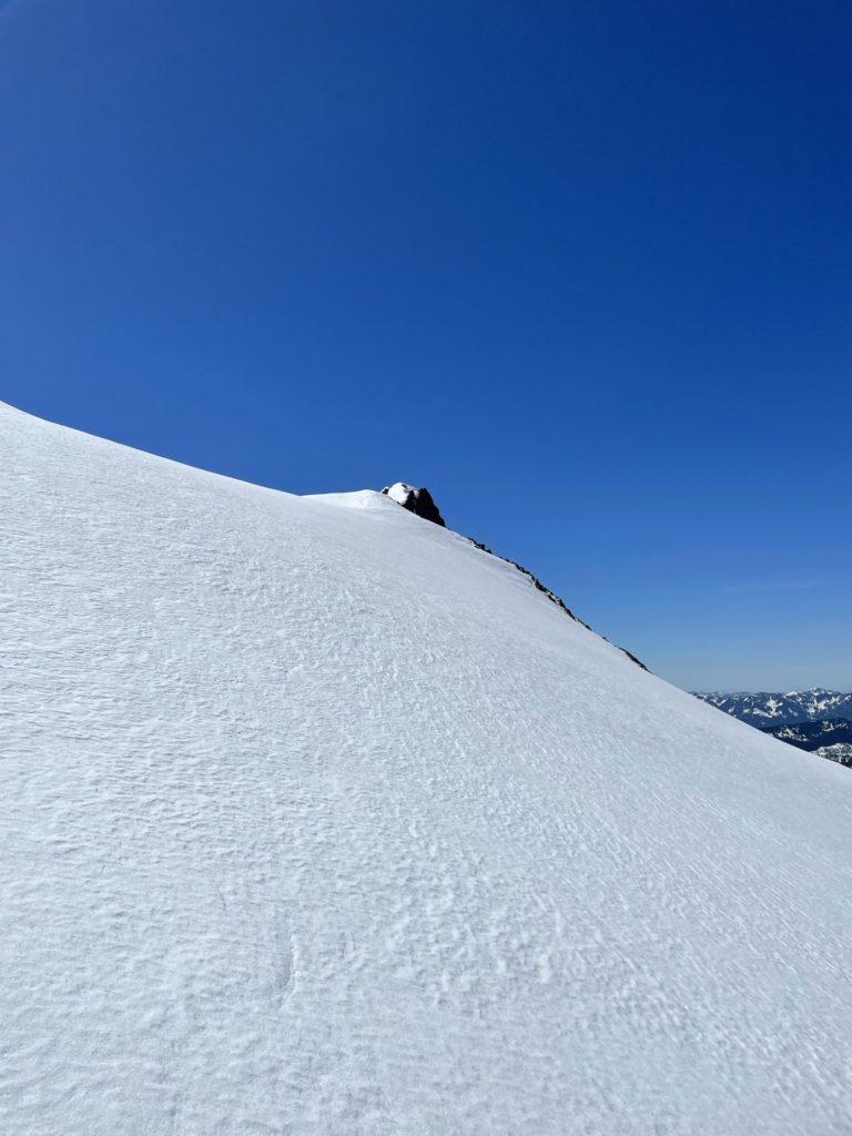
Jacob and I thought about it for a minute and then I decided to go climber’s right around the crux to see if I could scout a better route. To climber’s right of the crux we ditched our packs and then pushed on around the corner. Sure enough, a bit of exposed class 2 netted us a small snow ramp to gain the ridge just on the other side of the summit. When we regained the ridge it was then a simple few steps to reach the top. Neither of us were keen to stay up there for long as we both knew there was some tricky down climbing to get back to safe ground. Jacob and I grabbed a few photos and then we began descending the snow ramp we took up.
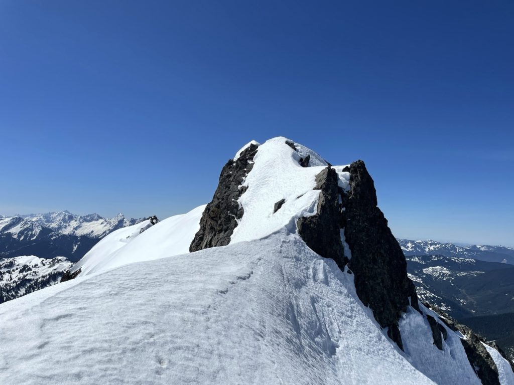

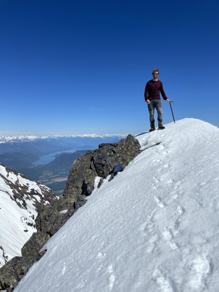
A bit more exposed scrambling and now were back at the packs. Now it’s time to down the broad steep summit slope to the exposed gully traverse. Right at this point we heard a huge avalanche come down off of the Eastern aspect of Mount Cheam. The sun was hitting the slopes of both peaks for awhile now, so we didn’t linger for long lest we be caught in something similar on our descent.
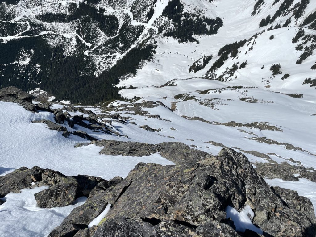
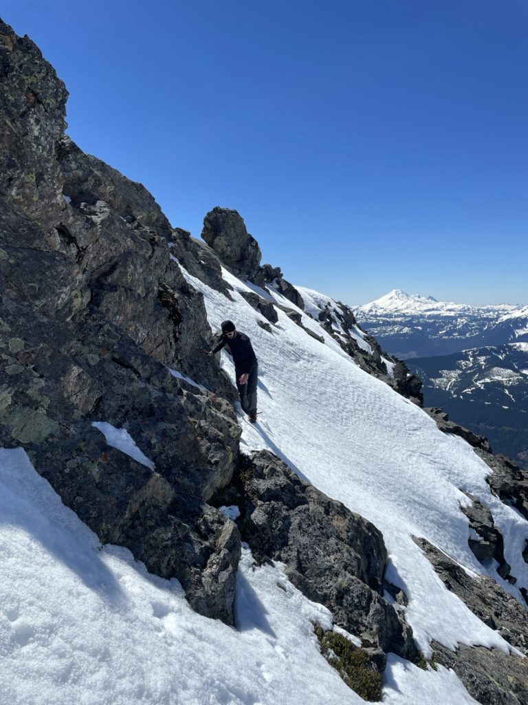
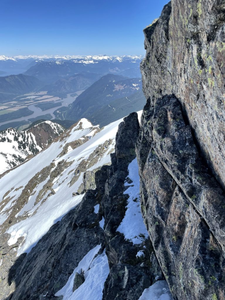
To avoid the steepest of the route we took a more round about way on a mellow section of the slope until we were just above the gully. Here it’s one step at a time, being as careful as possible. A tense moment for sure as coming up you’re mostly focused on the route ahead, while coming down you see the exposure for what it really is. After a few careful steps we were across the gully and then it was back to some moderate scrambling to reach the steep slope below the ridge line.
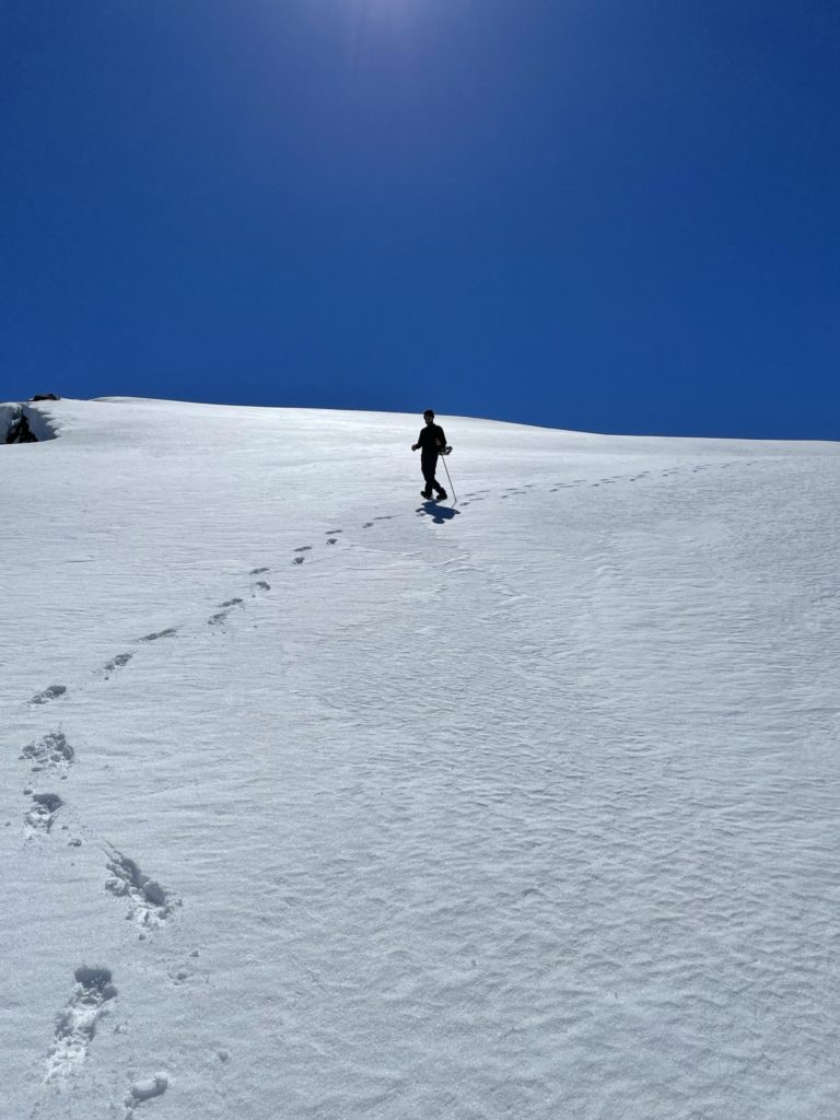
Here, I realized how steep the route down actually was. Coming up, we didn’t pay much attention, but now I could see this section was going to be quite tricky. The sun hadn’t softened the snow up at all and so we had to down climb on our front points getting the occasional good steep into the snow. It was slow going as I didn’t want any sketchy steps, but eventually I made it to more mellow terrain and could once again face down the slope and walk carefully. Jacob was having a bit more trouble. He was using some ancient cramp ons and they had slipped off and were now secured to the side of his feet not the bottoms. Adding to that, I was the only one with an ice axe and Jacob just had my hiking pole. It was a tense 10 minutes, but Jacob soon made it to where I stood and we had a collective sigh of relief. As the more experienced member, I felt guilty for not having communicated the gear I was bringing on the trip. A lesson for future trips to be sure.
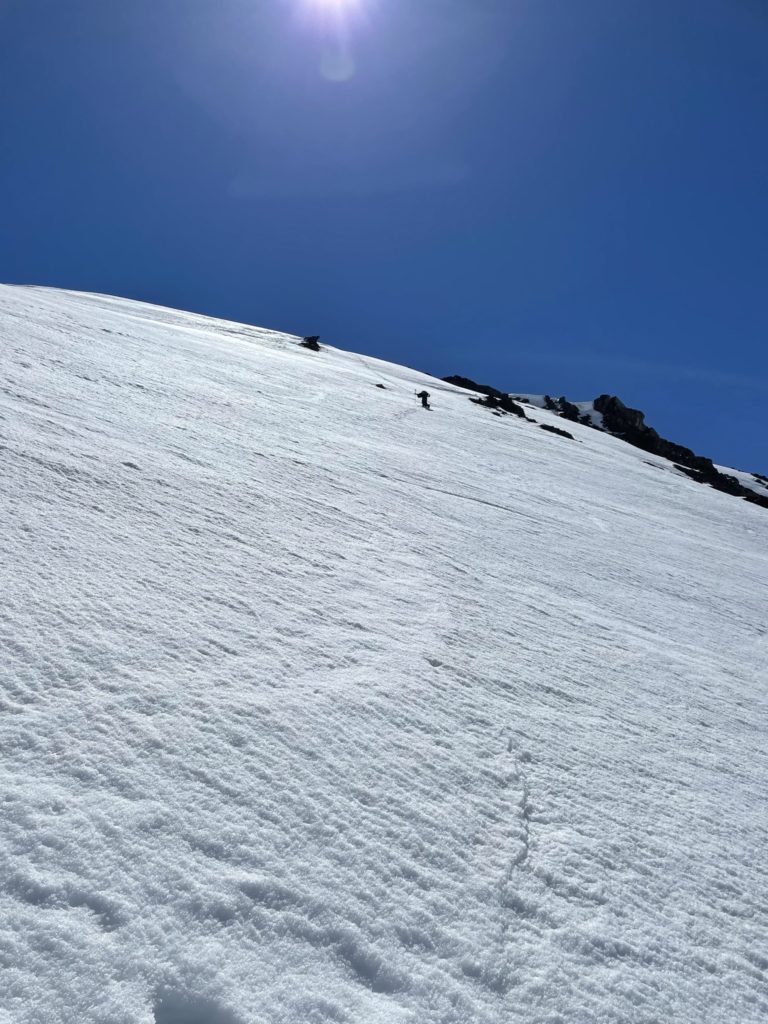
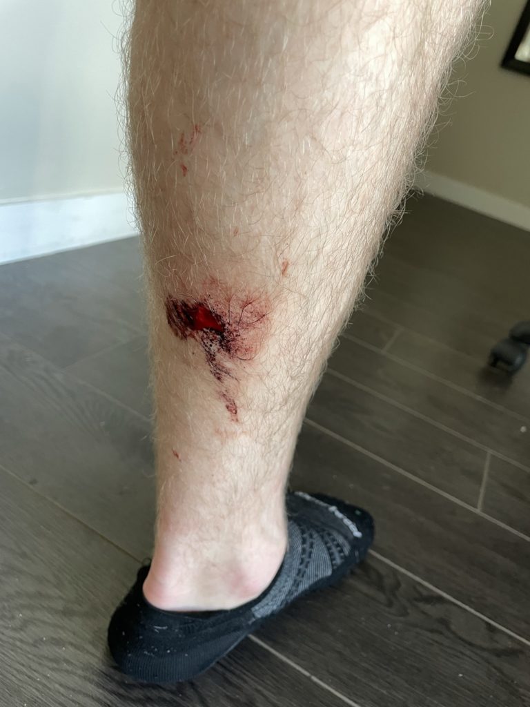
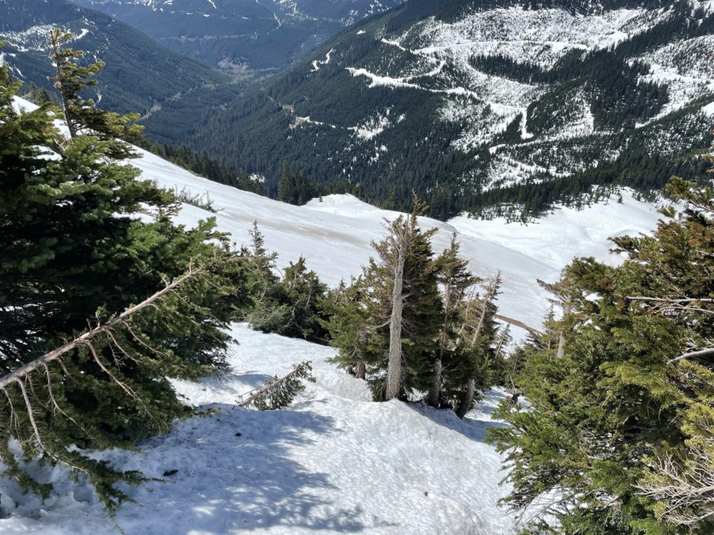
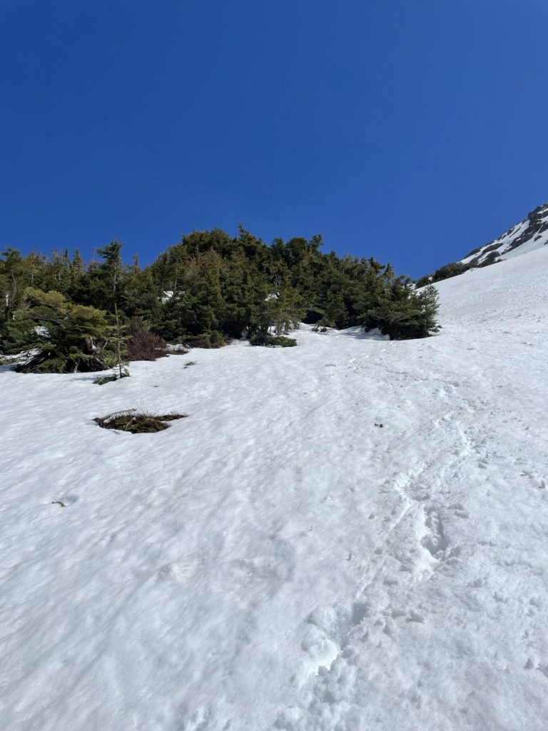
Now that the trickiest parts of the route were out of the way it’s mostly a simple walk along mellower terrain. We soon reached the top of the first gully we ascended, but went climber’s left into the trees as the lower slopes of Lady Peak were now quite warm and in the wet loose avalanche territory now. After descending to the bottom of the gully, there’s one last slope to reach Spoon Lake and then we’d be home free. Just before getting to this slope, I hit an isothermal patch of snow and slipped down. In attempt to catch myself I ended up kicking the back of my calf with my crampon. I had a quick look under my pant leg and there was a decent puncture wound, but not a show stopper. I brushed it off and started towards the last slope again. We opted to glissade down the last pitch and it was a fun reprieve from the tenser moments of the route.
Finally back on the flat section of trail it was a quick paced walk back to the truck and despite all the sun warming, no snow shoes required on the road or any part of the trip for that matter. All in all, a super fun adventure, but a little tense at times. It’s nice to be able to push my limits and a spring ascent of Lady Peak certainly had all the elements. I think in general, this route is better saved for the summer time as there was lots of evidence of recent avalanche activity and the snow adds another element of exposure that won’t exist on dry rocky steps.
