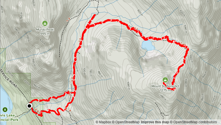
Elevation Gain: 1,105m
Distance: 12.14km
Total Time: 5 hours 51 minutes
Date: April 11th, 2021
This weekend was going to be another weekend with a high pressure system and therefore another weekend of climbing a peak with some views. Lately, everyone I’ve been hitting summits with has been happy to let me pick the “route-du-jour”, but I thought I should free the reigns and see what comes up. Jacob was set do a hike with me on the Sunday and so I asked him to look around pick something interesting. His two choices were Flora Peak in Chilliwack and Mount Saint Benedict in Mission. Flora Peak has been on my list for awhile too, but more as a summer objective. In the winter the route follows through a massive slide path and I was concerned, with the warming temperatures, there could be some instabilities with bigger consequences. So with that, we settled on Mount Saint Benedict.
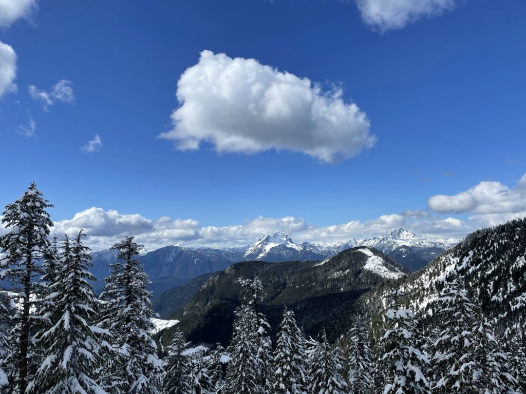
This is not actually the first time we chose to do this peak, but last time it was covered in clouds and we switched objectives on site to Monastic Peak. Mount Saint Benedict boasts some amazing views of Robie Reid and Judge Howay on a clear day and so I’ve been wanting to do this one for awhile. It’s a short hike at ~10km round trip and the summit is only 1275m tall, so the perfect route for a shorter outing.
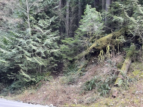
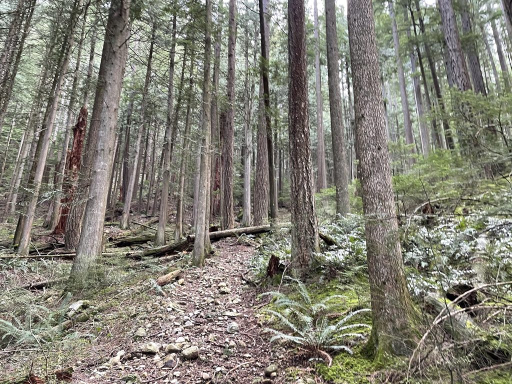
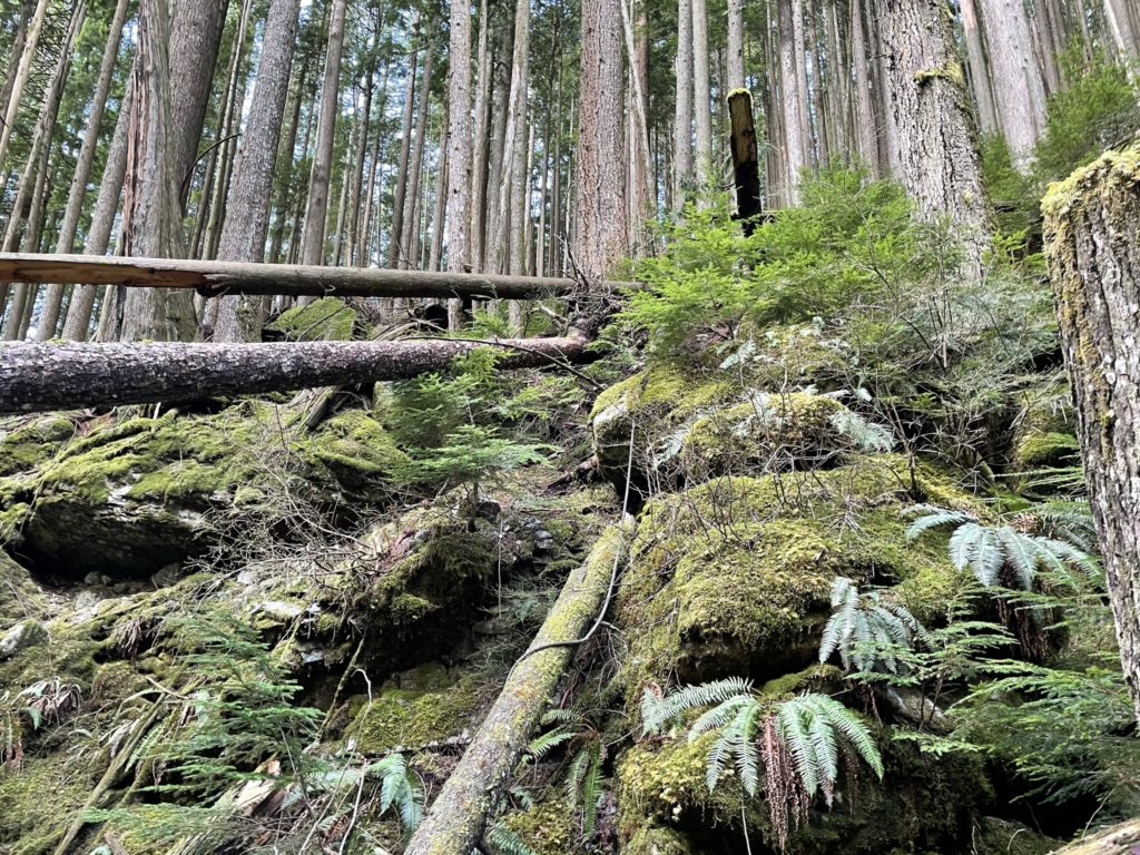
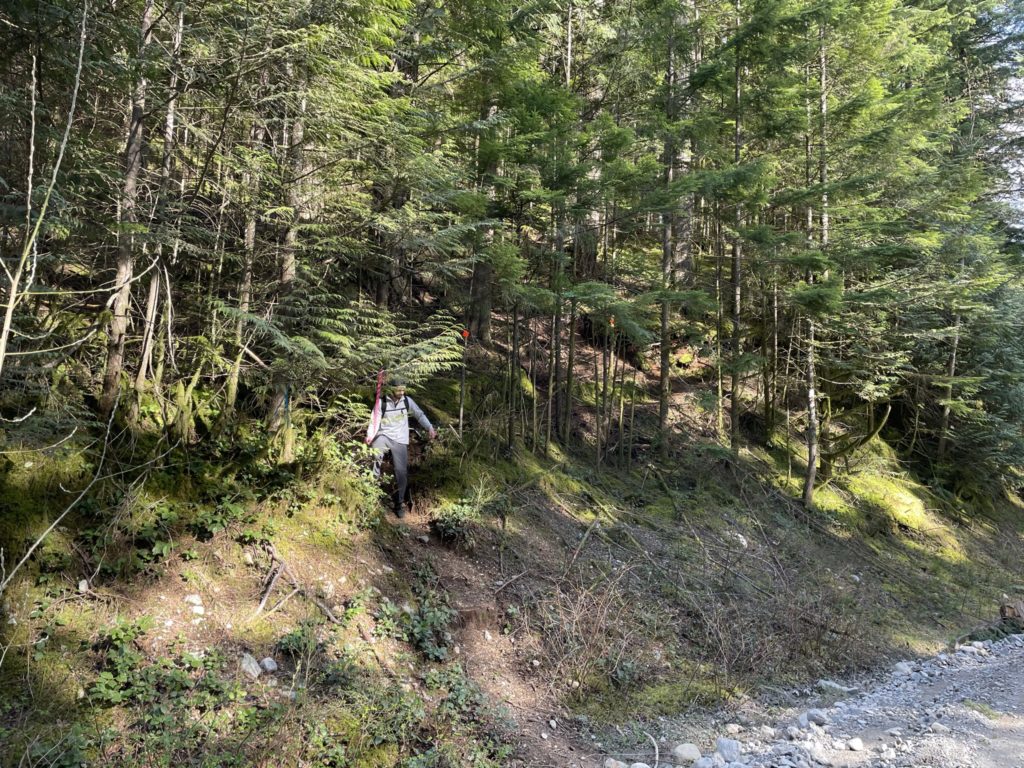
On the Sunday, Jacob and I drove out together and reached the trail head at 10:45am or so. After getting our packs on we marched across the road to the flagged entrance and started our way up. The route went through some steep-ish forest alongside a creek and continued to climb up and towards Murdo Peak. As we gained higher ground, I started to grow suspicious about our route. It seemed to be heading straight up Murdo Peak instead of our objective. I had a quick look at the GPS and sure enough, in my confident swagger, I had taken us up the totally wrong trail. The trail we wanted was actually on the opposite side of Murdo Creek and followed along an FSR instead some steep forest trail.
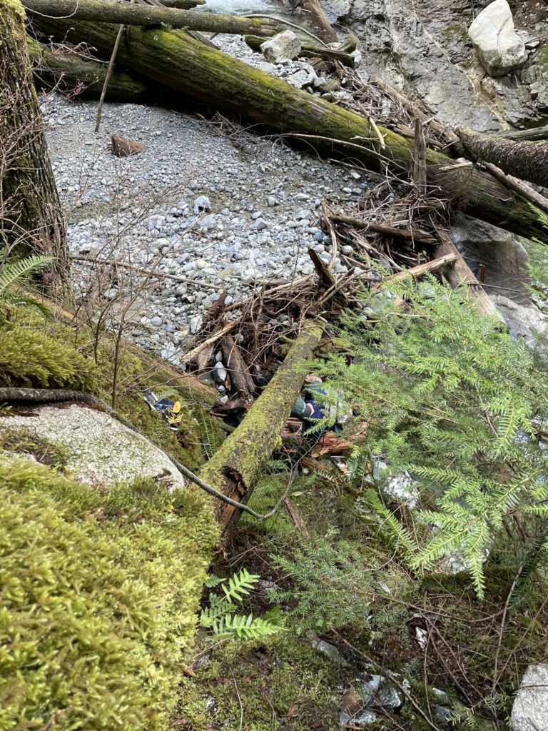
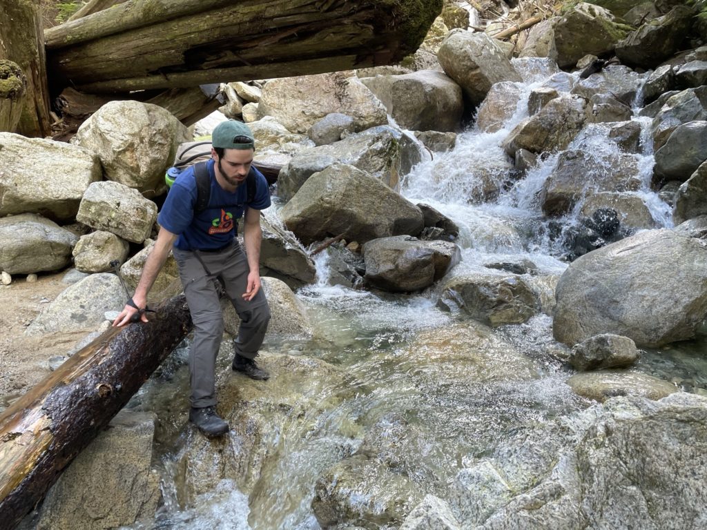
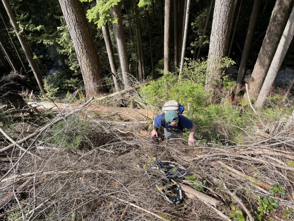
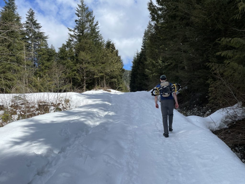
Luckily for us we found a path that lead towards Murdo Creek and seemed to provide a means for us to regain the correct trail. There was a nice rope installed that got us down the steep embankment to the creek and then crossing was pretty straightforward. If I had caught my mistake 50m up or down the trail, we might have missed it all together. Once we reached other side of the creek, we had to bash our way up a cut block to reach the FSR. From there we continued on smooth ground. A few dirt bikes and side-by-sides passed us, but we quickly caught up to them when the FSR ran out of dry road and became covered in snow around 700m up.
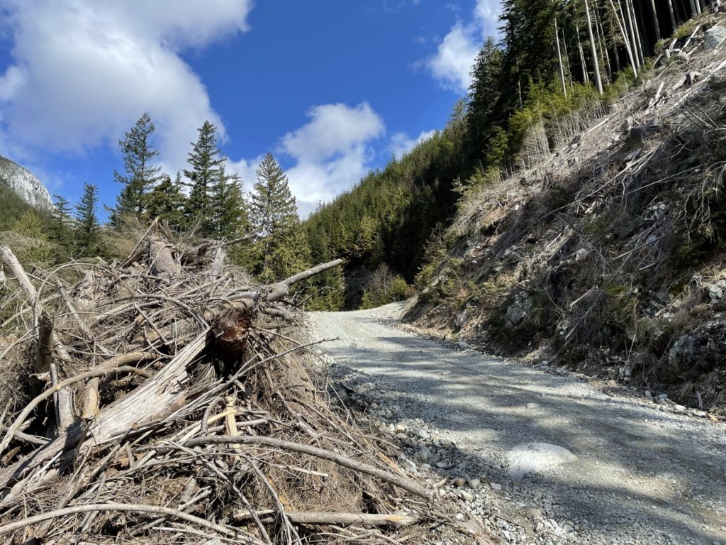
After leaving the motorized ensemble behind, we continued along the snowy road until it started to dip down. Again, I grew suspicious as I couldn’t recall any elevation loss when researching the trail. Once again, I took us down the wrong path! This time, it was only 200m at most of back tracking and then we found the obviously flagged path up to Mount Saint Benedict.
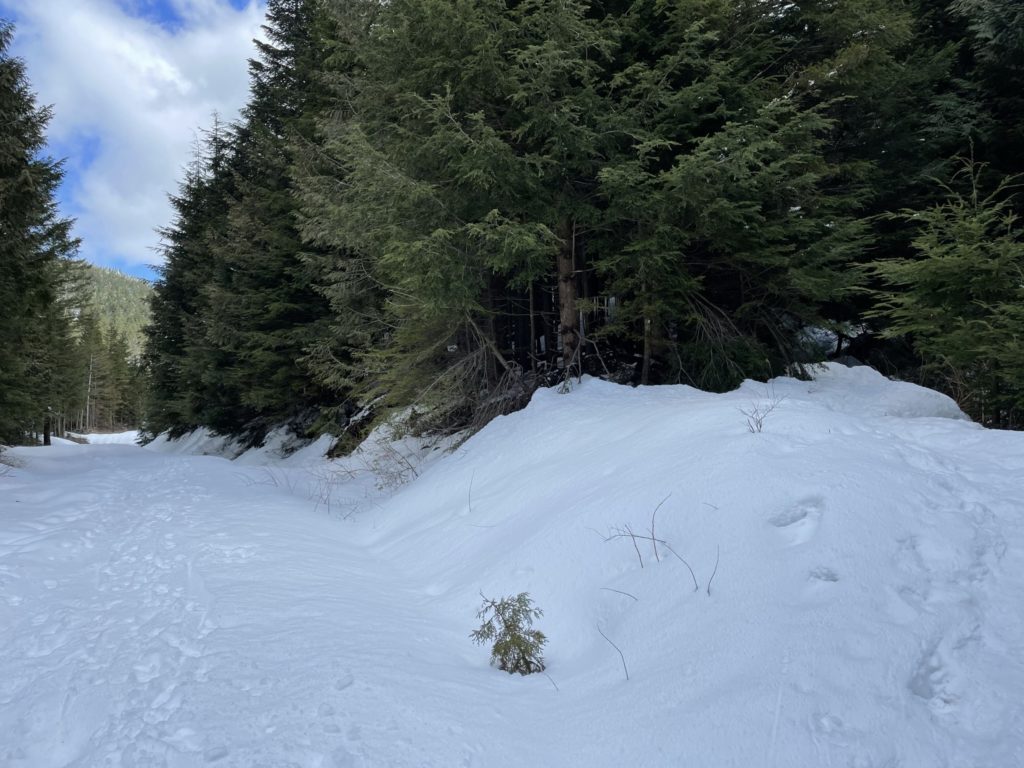
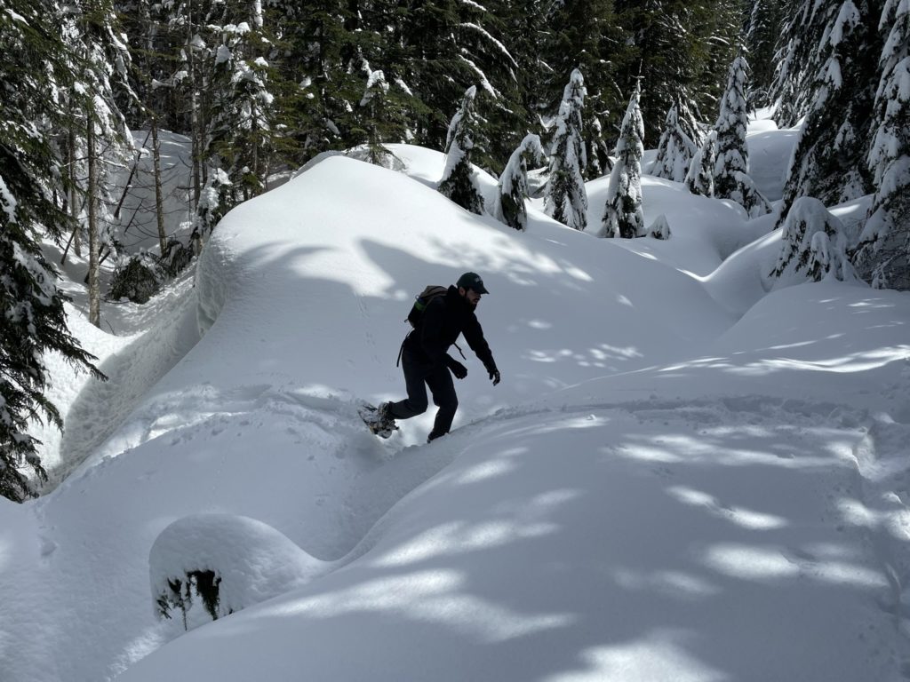
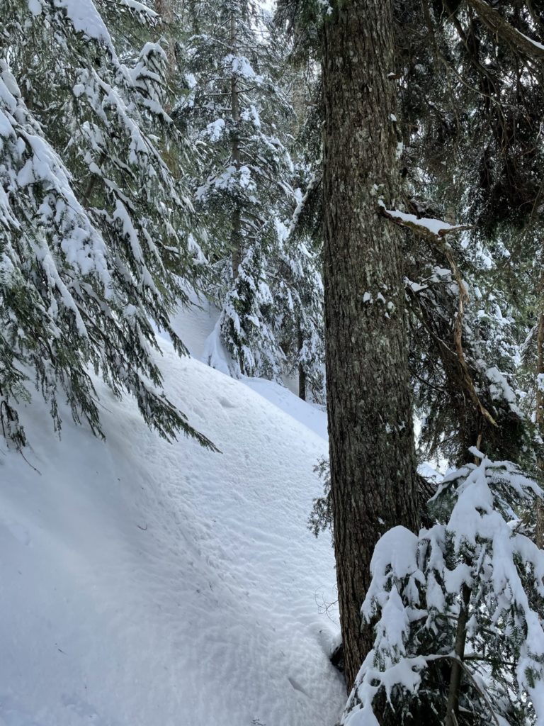
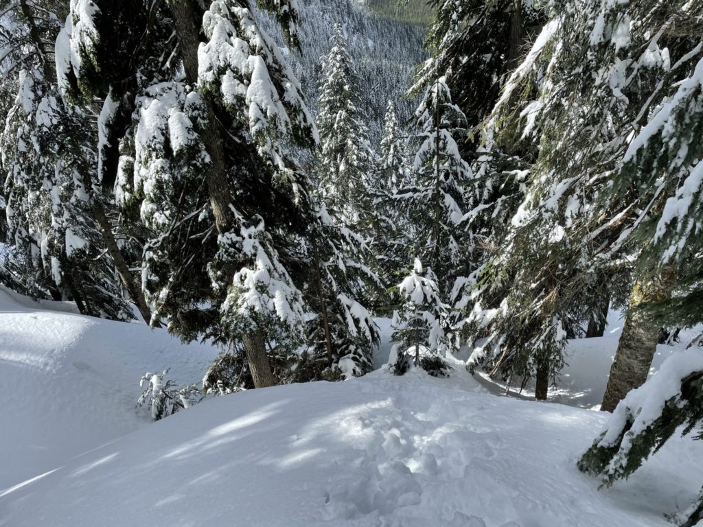
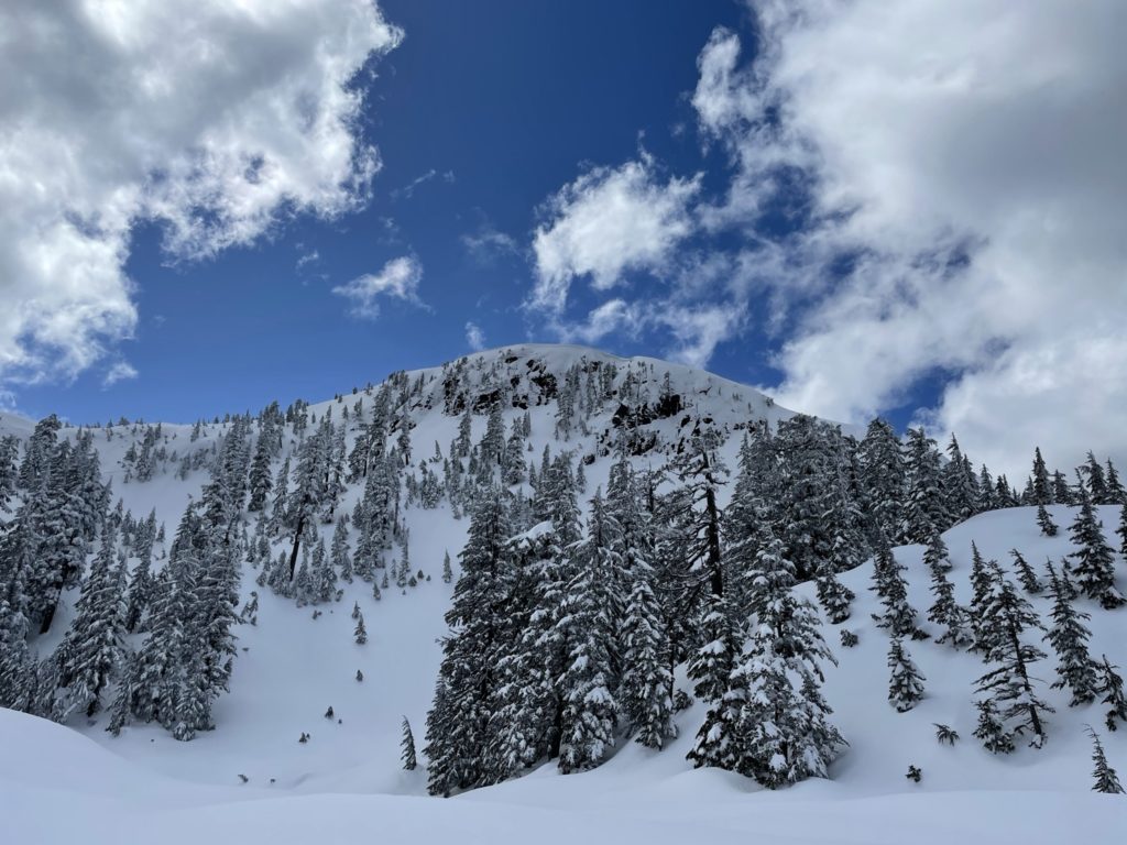
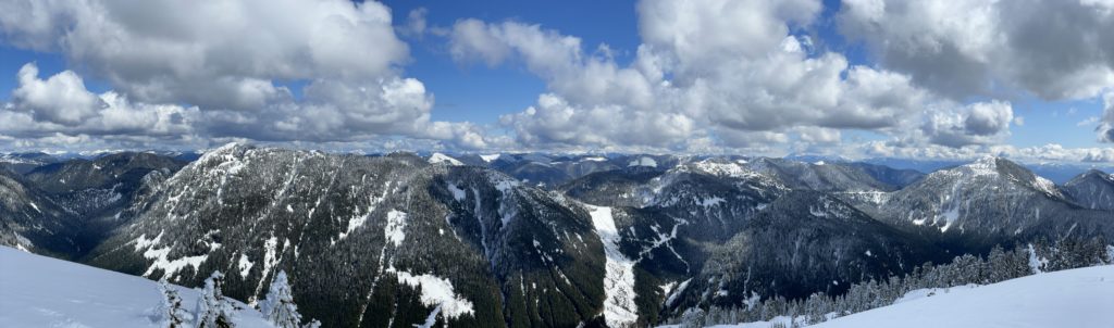
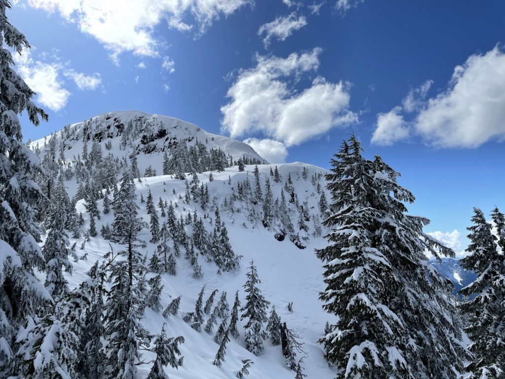
Once on the trail, it wound through the forest up and down undulating snow mounds for quite a while. The snow was firm, however, and there were still tracks we could follow. We eventually reached McKay Lake and got our first glimpse of the summit. From the North side, Mount Saint Benedict looked pretty daunting with massive bluffs running down to the lake. Thankfully, the established route would bypass all of this.
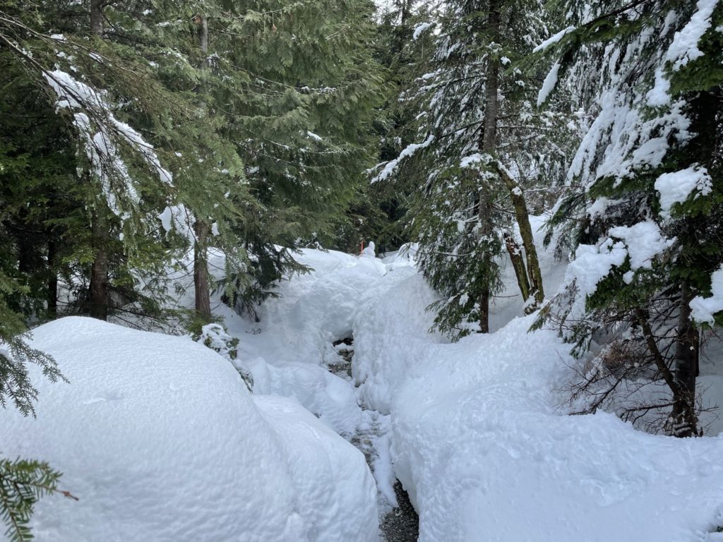
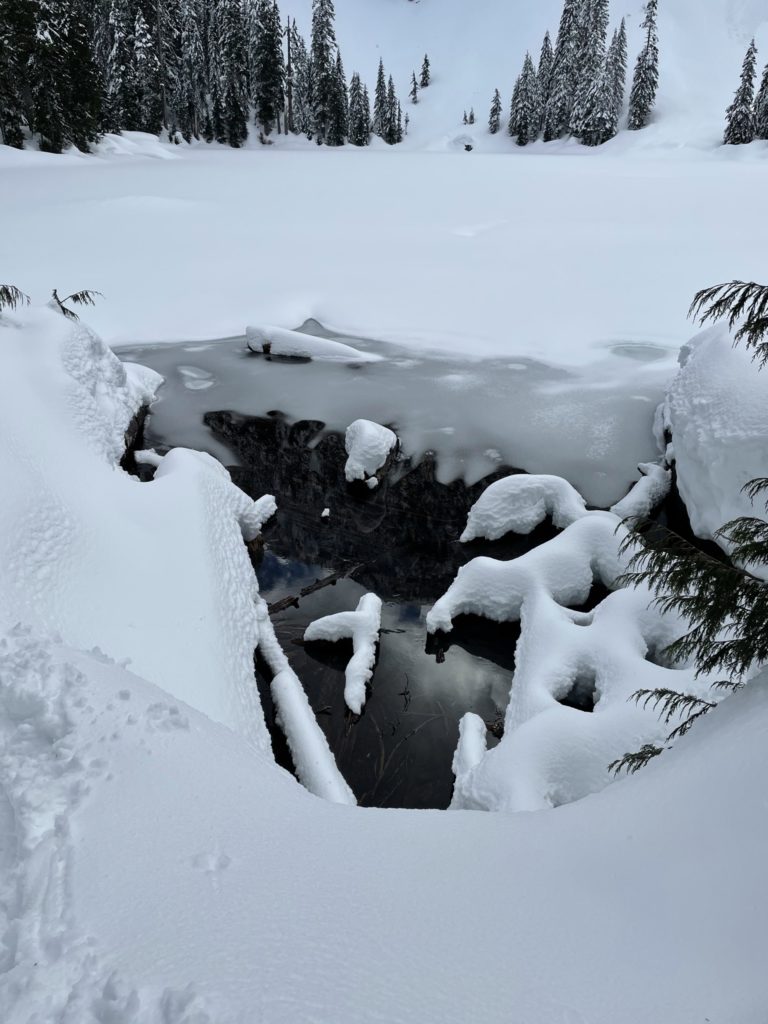
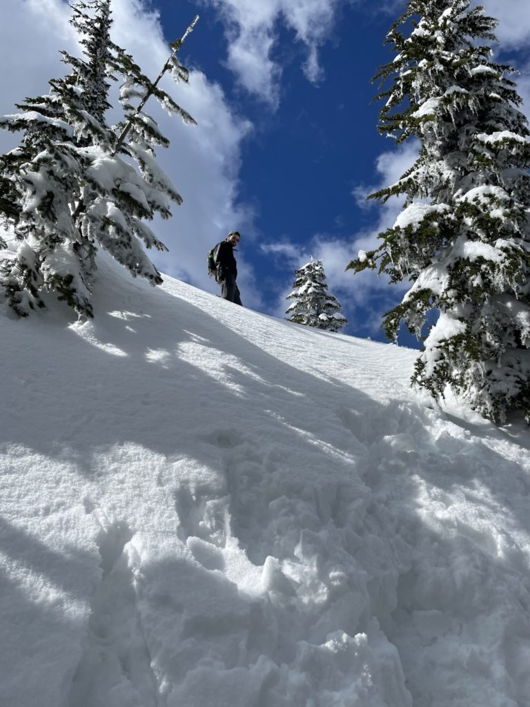
We pushed on towards the upcoming steep ascent to the ridge line and just past McKay Lake, the existing tracks ran out. Here, we finally put on our snow shoes and then pressed on. The slope slowly got steeper and steeper as we pushed up through the forest. Adding to that, the snow was quite wet and heavy and the top layer was not super consolidated. It made for some slow going and I can imagine any first time snowshoers would really struggle in this particular section. At some point the GPS track calls for crossing a creek at a specific point. However, when we arrived it was impassible due to large snow walls and the creek being opened up at this point. We continued up alongside the creek another 50m or so and found a lone snow bridge we were able to cross and from there linked up with the official route markers again. After a big slog, we made it to the ridge line where the terrain eased up a bit. There were still short bits of steep snow to overcome, but the sustained part was out of the way.
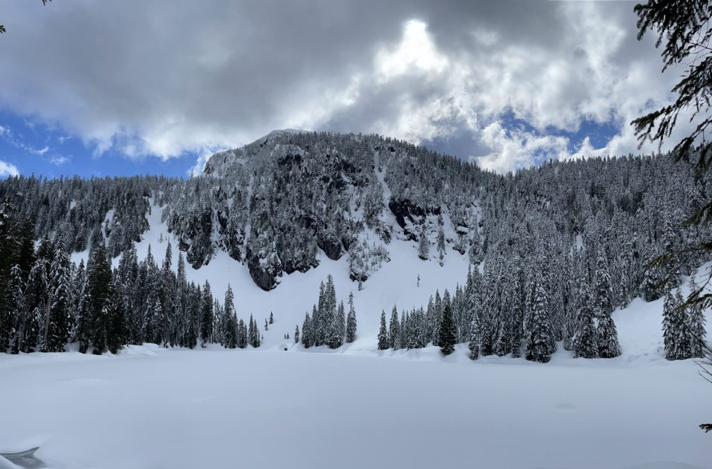
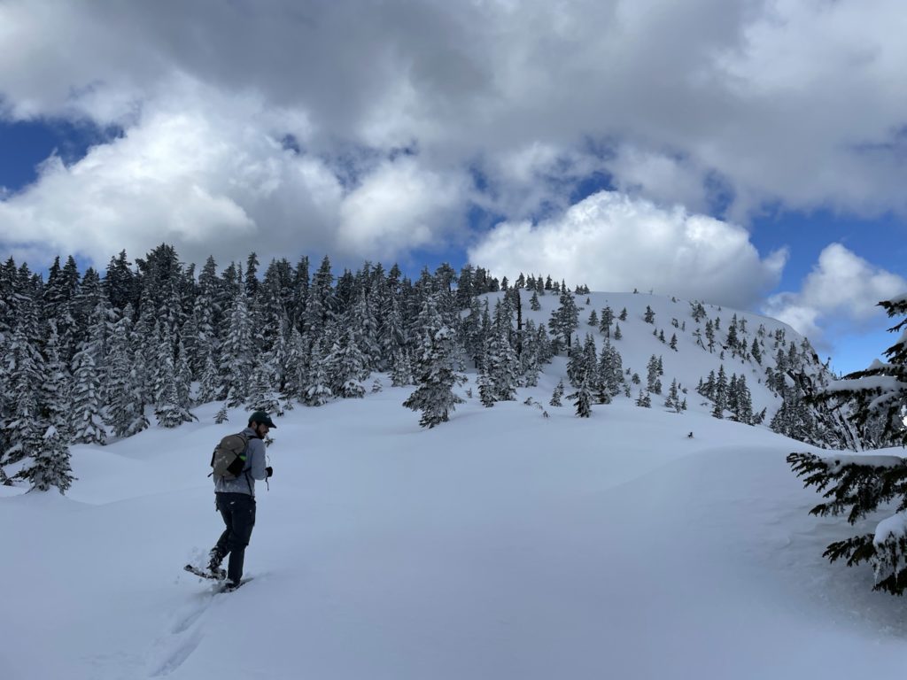
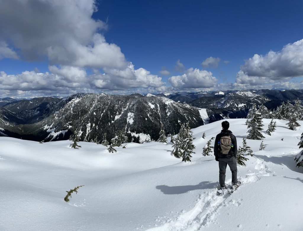
The trees also started to open up a bit and we were getting some great views of the untouched snow meadows. Not long after reaching the ridge line, we made it to a small snow-filled tarn at the base of Mount Saint Benedict. Most of the slopes in this area are too steep to make an easy (or safe depending on avi conditions) ascent up, but the Eastern aspect offers a reprieve in slope angle and so we naturally followed along that way.

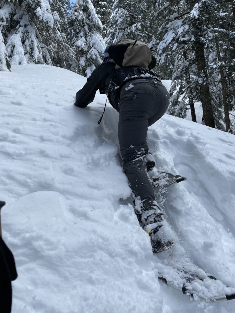
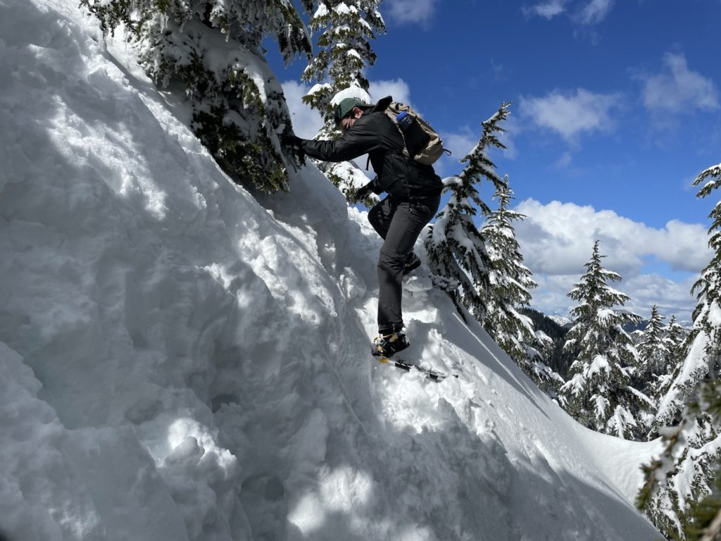
As we gained the eastern slope to the summit, it offered only one obstacle. A 15-20 foot close to vertical slope. There didn’t seem to be any way around, so we gave it our best trying to snowshoe up. However, each step washed out the snow and resulted in us sliding back down to the starting point. We gave a couple of goes, but had no luck. Not to be bested by a small slope like this, I decided we should kill the snow shoes for a minute and try boot packing up. I quickly removed my shoes and wallowed up the first bit and trying to kick step in. Slowly, I gained up the slope until, finally, I was past the steep shit. Jacob followed suit and we were past the worst of it. We put our snow shoes back on and made it to the top in short order from there.
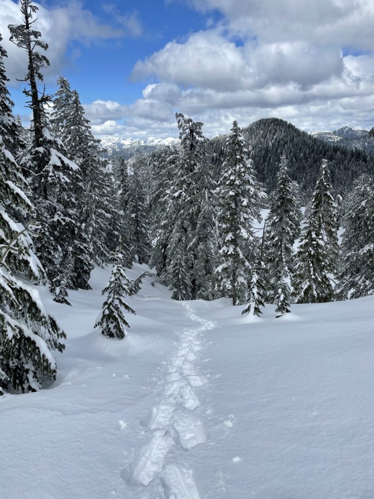
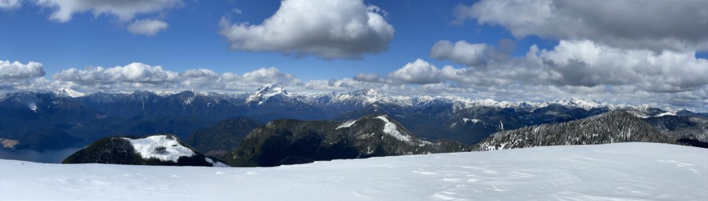
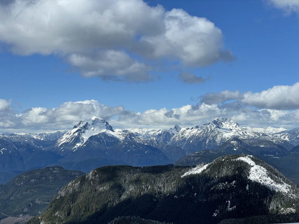
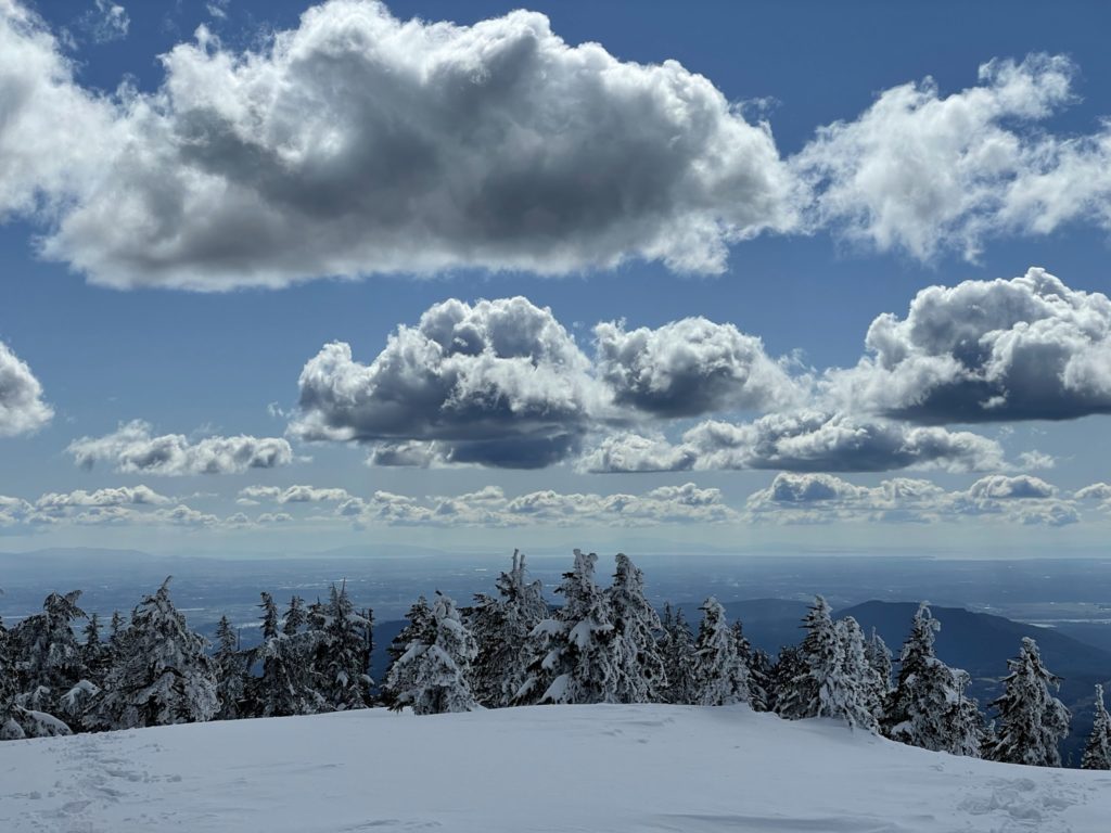
As anticipated, the summit offered much more than you could take in with a single gaze. Robie Reid, Judge Howay, the Defendant all visible as well as a few peaks I had never seen in person before such as Mount Clarke and Robertson Peak. We had no wind and just the right amount of sun and cloud to make the view perfect. I think we hung out at the top for 20-30 minutes or so before heading down.
Heading back was a breeze in comparison to the route up. We managed to leverage a “vege” belay to get down that near vertical powder section and then simply plunged down the untouched powder along side our tracks all the way back to the McKay Lake. Once the snow firmed up lower down, we ditched the snow shoes and walked back the rest of the way. When we reached the section of FSR that we rejoined with from our mistaken path, we opted to continue down the established route instead of back tracking through the cut block. This lead us to a mellow forested trail that took us all the way back to the car.
Mount Saint Benedict certainly lived up to the hype that I had built up in my head and doing it in the spring seemed to make it more fun than an otherwise dry trail in the summer. That came at a cost of much slower round trip time, but worth it for sure. The creeks are really starting to open up in this area and I’m not sure how long they’ll be passable for, so highly recommend getting up there before hand.