Distance: 13.6km (including Mount Andromache)
Elevation: 1,894m (including Mount Andromache)
Total Time: 9 hours 31 minutes (including Mount Andromache)
Date: October 4th, 2020
Day 2 of Jeremy and I’s trip out to Alberta was intended to be our big day. We originally had our eyes set on Molar Mountain, east of Mount Hector and across Molar creek. After the first summit of Paget Peak on day 1, I had a feeling that Molar Mountain was going to be too ambitious with significant elevation gains and loss to reach the summit. Neither of us were used to the higher starting elevation and it was definitely playing against us that weekend. So, at the last minute I changed our objective to a double summit of Little Hector and Mount Andromache. They were both in vicinity of Molar Mountain and it looked like two fun scramble routes with reduced total distance and elevation.
We woke up at 4am the day of to get an alpine start and enable us to be back home, to Kelowna, at a reasonable time. We arrived from Golden at around 6am. The sky was still dark and there was a near full moon out. It was the perfect start to the summits. We donned some head lamps and started our way through the first forested section of the trail.
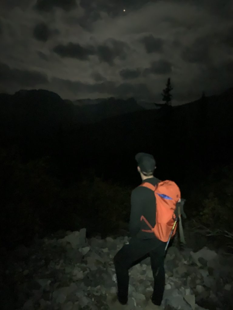
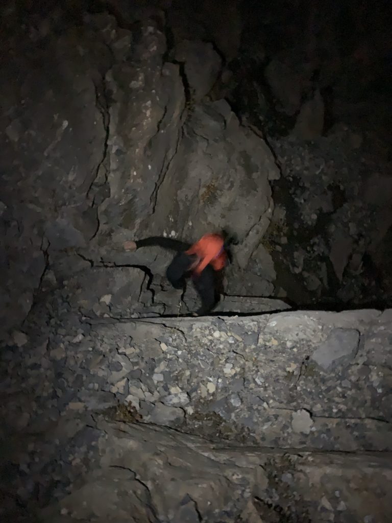
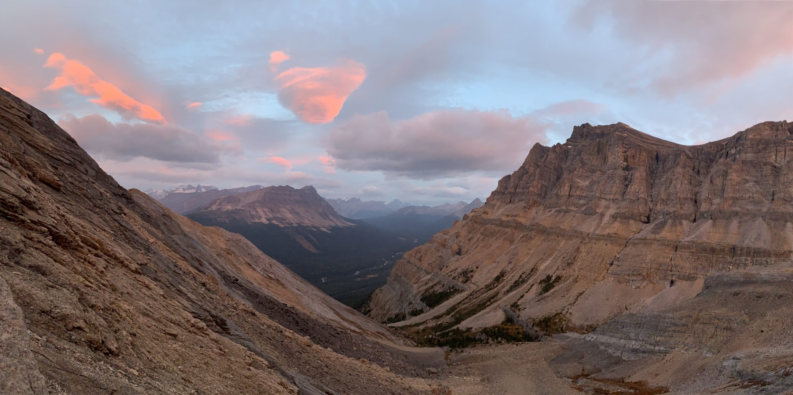
We only traveled a kilometer or so and we were already out of the tree line. Before us was a small cliff band and a water fall. It was hard to make out all the possible routes up the cliff, so we just followed along a creek bed and then climbed up the first or second route we found. The moon illuminated our route quite well, but we really had no idea how exposed that section was until we’d return back later in the day.
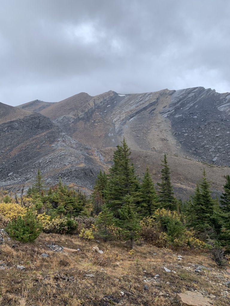
Around this time, early morning light started to appear over the horizon and we could continue without head lamps. We followed the standard route set out on AllTrails by traversing south east along a scree slope. Half way up, I realized we had started up the wrong gully and had to traverse side ways across the slope. Some sections required some careful foot placement as it was loose screen on top of firm rock. It wouldn’t have taken much to slip out and tumble part way down the slope.
On the way up we could also see two head lamps deep in one of the gullies on Mount Andromache. I could only surmise that they were doing some particular rock climbing route, because it certainly did not look like it just be scrambled up.
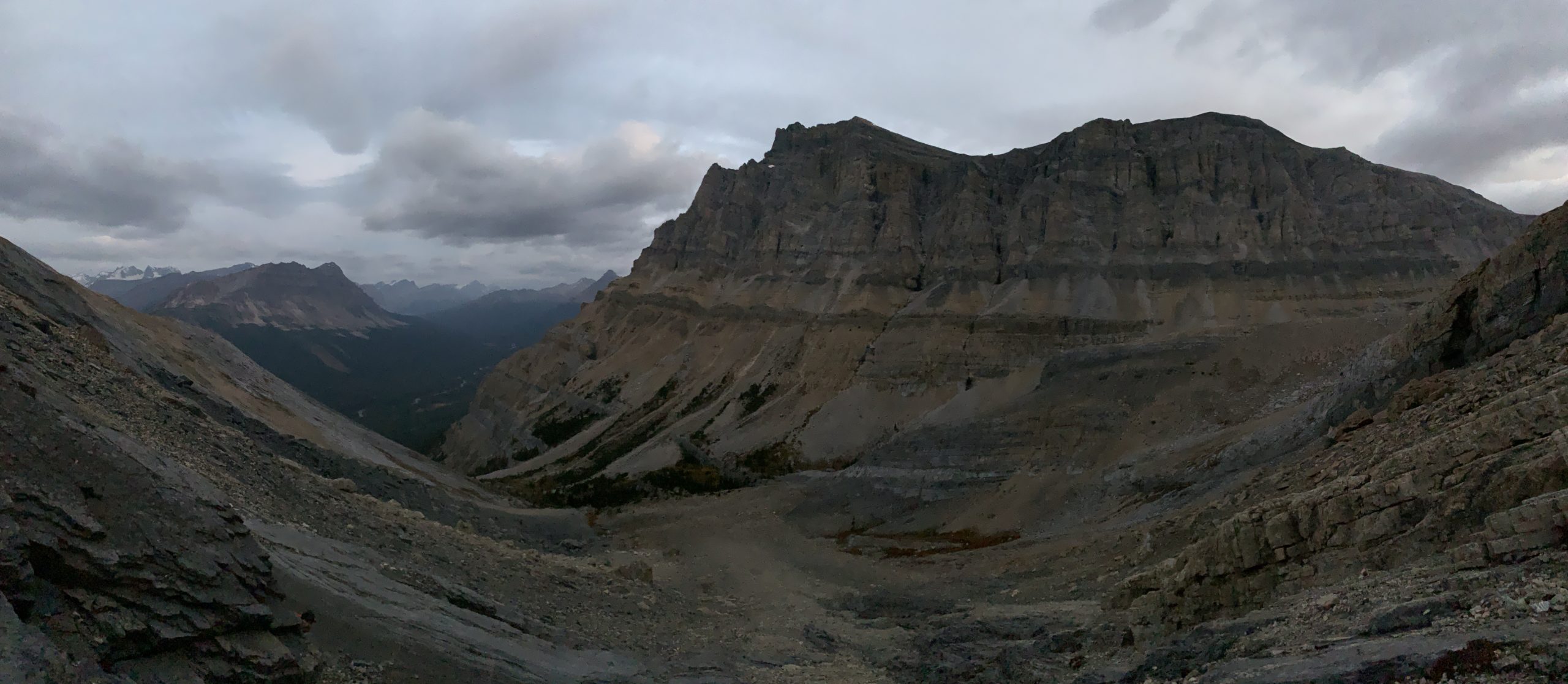
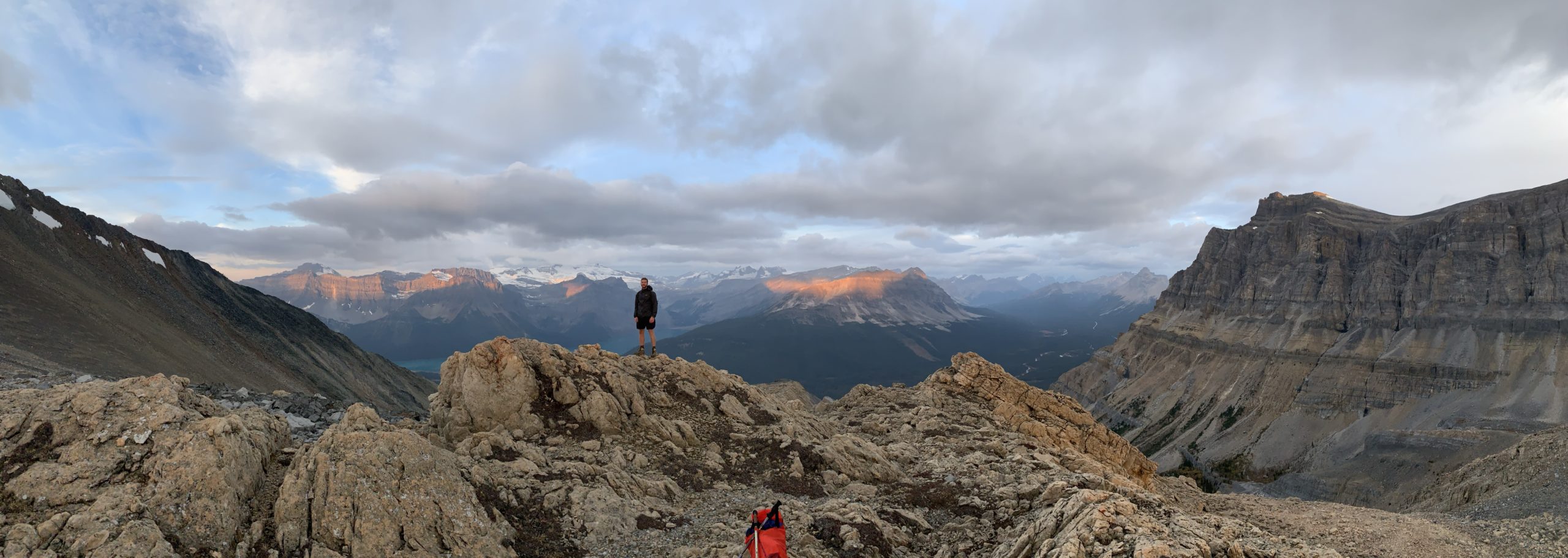
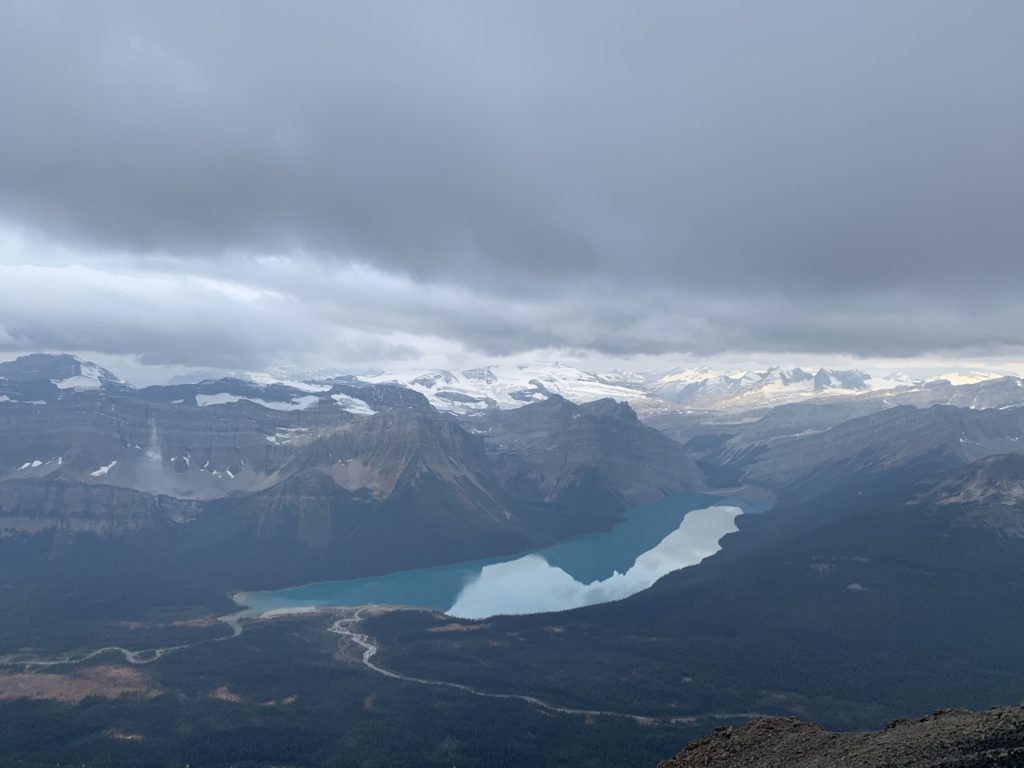
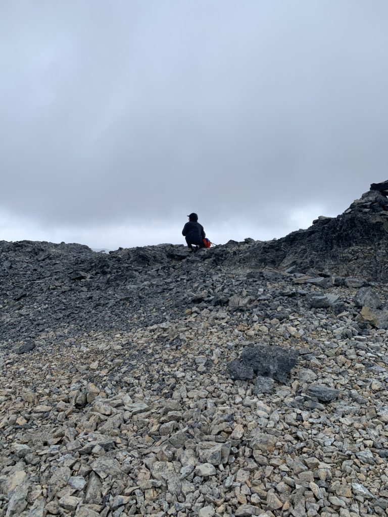
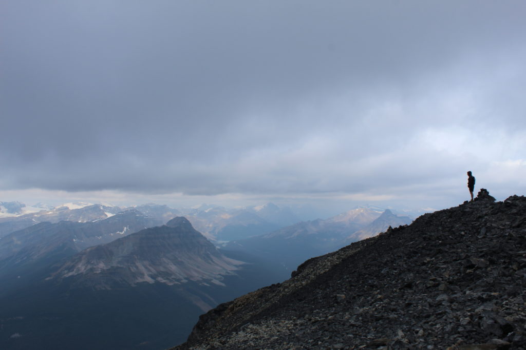
Back on our side there were several gullies to the top and after traversing across 3 or 4 of them, we finally landed on the correct one. The route was mostly class 2 with some class 3 towards the top. It’s mostly just a slog up the scree slope and using some firm rock holds where they’re available. At around 8 am we crested over the scree slope where a small plateau stood between us and Little Hector.
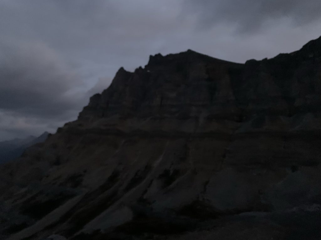
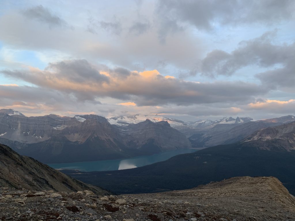
The sunrise appeared shortly after and we paused for a long while to watch the sun rise over the mountains. The next obstacle before us was another steep scree slope buttressed by a cliff band that appeared to be class 3/4 all the way across. Beyond that, it looked like a straightforward ascent the rest of the way to the summit.
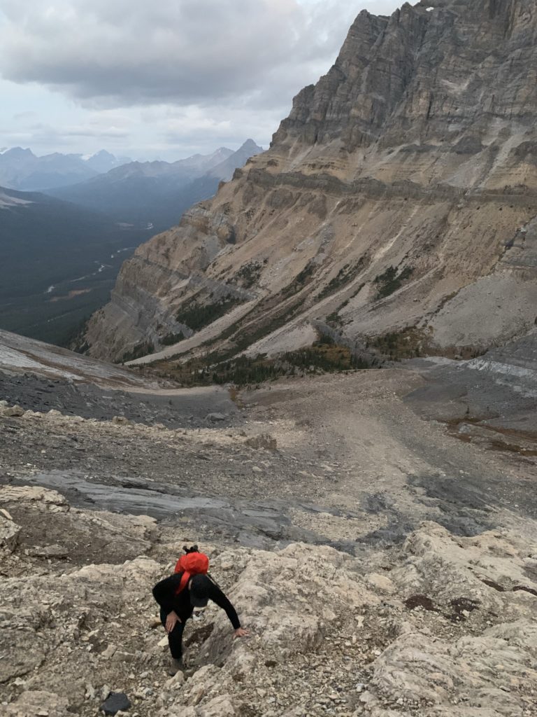
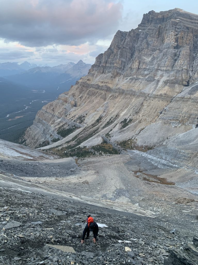
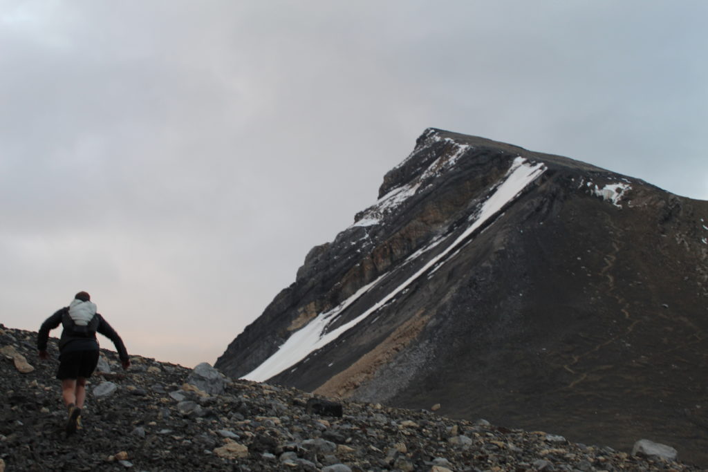
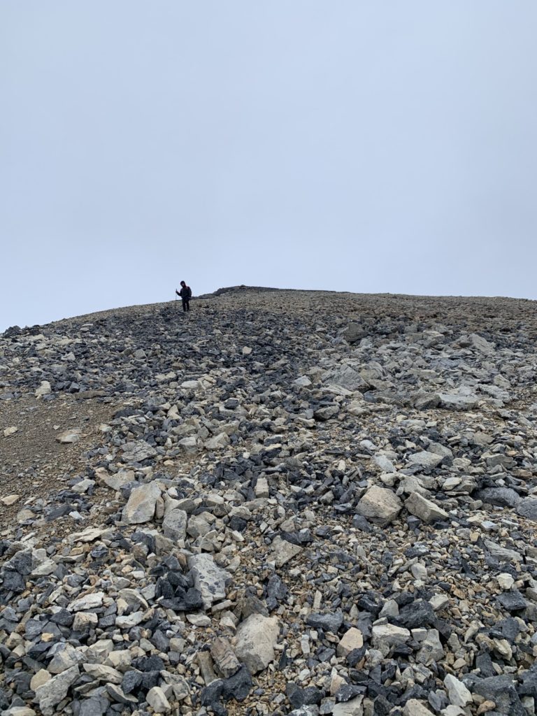
Coming up the next scree slope was slow going as it’s almost like running up a sandy hill. Great for coming down, not so fun climbing up. We reached the crux of the route around 9 am. The established tracks had run out around 15m before the cliff band. After looking around we settled on going climbers left about as far as you could and then ascended straight up one of the narrow chutes. There was a decent bit of exposure, although no direct over hang or anything like that; I’d say class 3 or so. We climbed carefully, but there were pretty solid holds on our left side and it was good enough to get us up and over the cliff band.
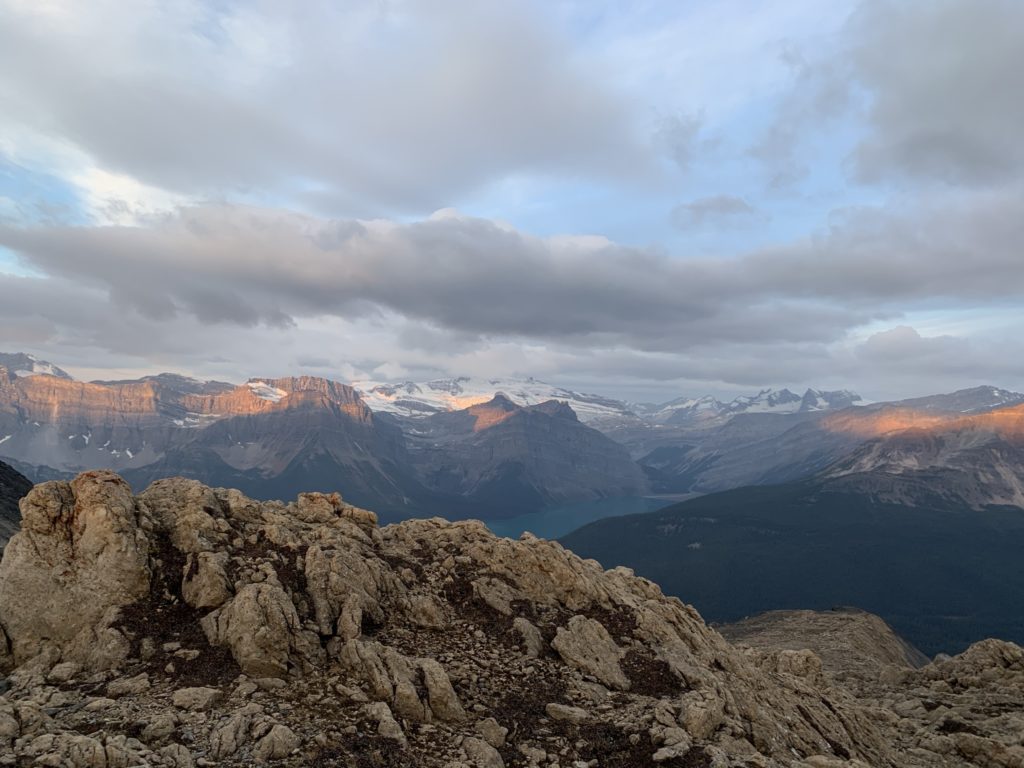
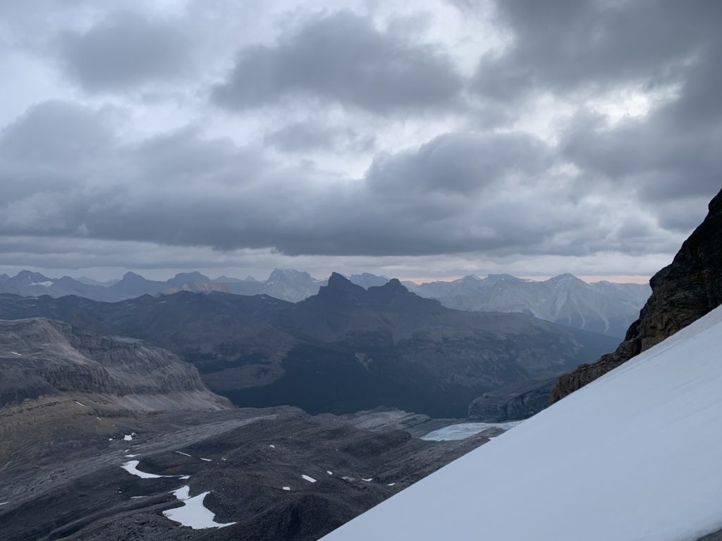
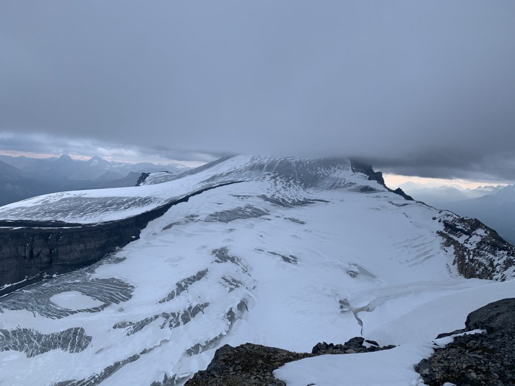
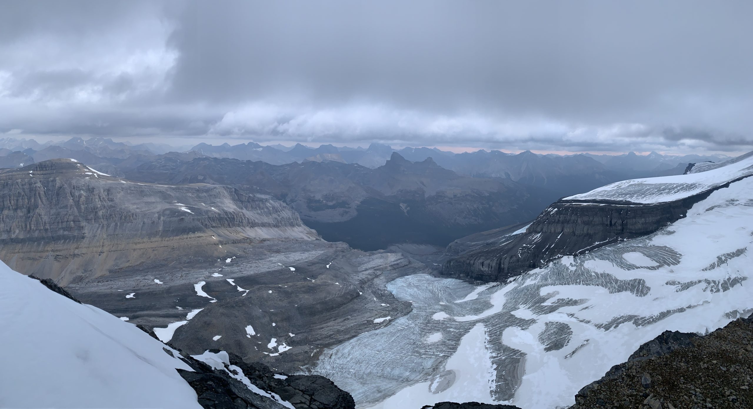
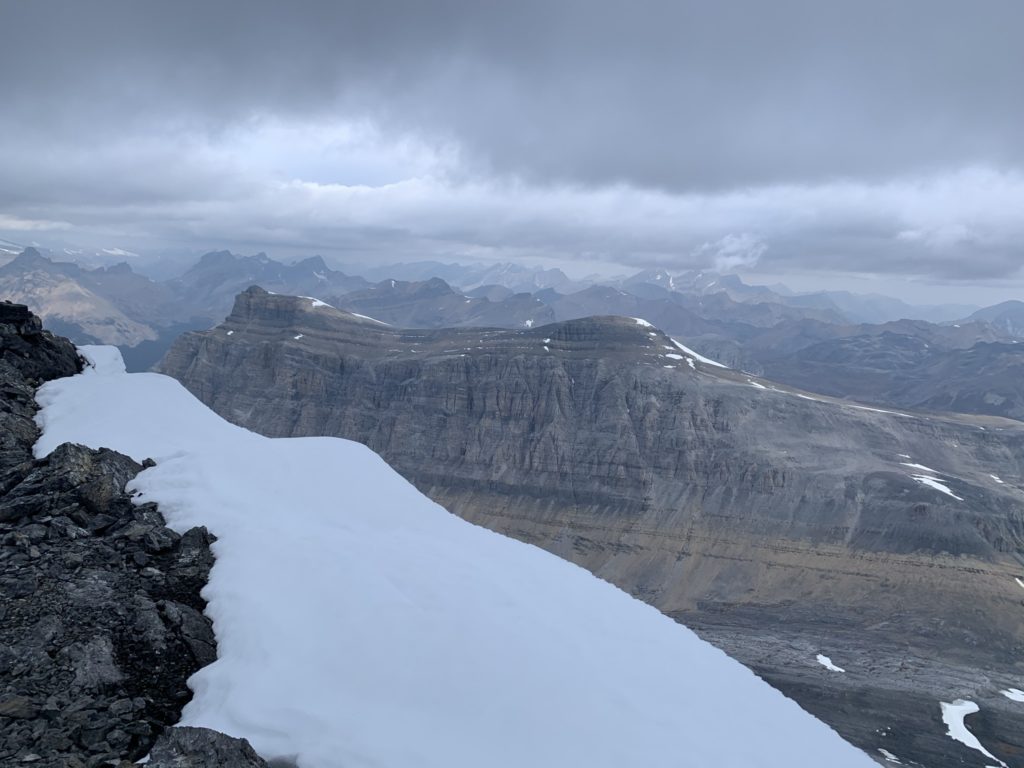
From there it was another 20 minutes or so up the final slope to the summit. Mount Hector was partially covered in clouds, but we had excellent views of the surrounding area. It was quite windy at the top, so our stay was short-lived and we still had Mount Andromache to summit as well.
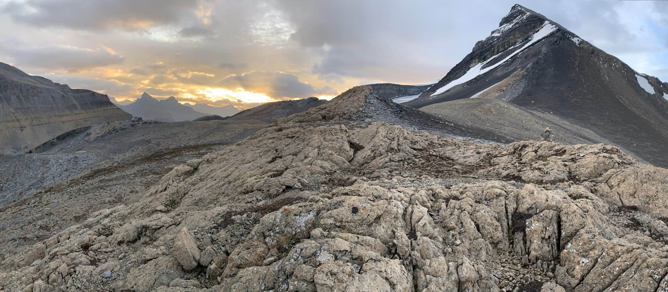
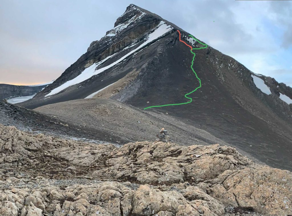
When we reached the cliff band again, Jeremy suggested we try going climbers right this time in search of an easier route. Down-climbing our ascent route would have been do-able, but quite sketchy. Sure enough, further right there was much more mellow terrain. I started down an okay looking chute, but paused above a final 8-9 foot drop I was going to have to down climb. While contemplating my choice, Jeremy called out to say he’d found an easy way down. Relieved, I back tracked and followed his route back to the scree slope.
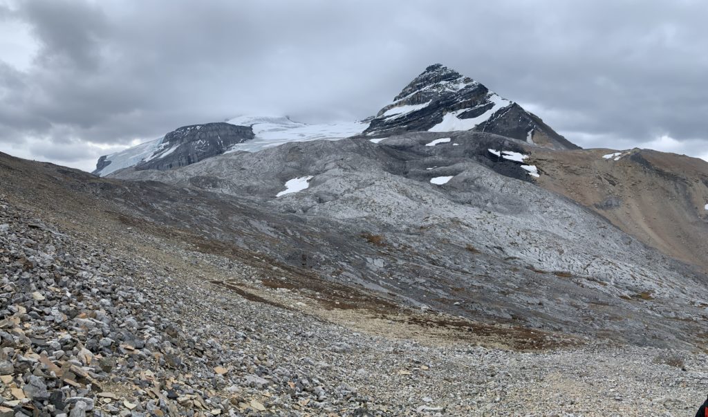
The loose sand-like scree slope really worked in our favour coming down now. We basically ran down the entire thing until we reached the plateau again. To sync up with the route to Andromache we had to head more north east this time instead of heading down the first scree slope we came up.
Eyeing up the route, I realized we’d have to lose about 200m of elevation and then regain it again to get to Mount Andromache. A little disappointed, I looked around for other options, but couldn’t spot any from my vantage. So down to the trail we went. Surprisingly, the route down to sync up with Andromache was mostly class 1 and 2 terrain. Ascending Little Hector from this approach would have saved a lot of time and effort. Highly recommend this approach for those who are not fans of direct ascents up steep scree slopes!
When we reached a small tarn at the bottom of our link-up route, we headed east again along the route to Mount Andromache where to the story continues.