Elevation Gain: 889m
Distance: 8.23km
Total Time: 5 hours 30 minutes
Date: November 11th, 2025
Arcade Peak, which is also known as American Peak, is largely a forested peak on the outskirts of Hope, BC. The only noteworthy part of this mountain is the old radar station that sits on top of it. During the Cold War era, this station formed part of the Pine Tree Line, which as I gather was a radar and early warning system for enemy aircraft. There appears to have been a tramway that serviced the station as well, but it’s long since been removed. Perhaps, there’s one other notable aspect of this mountain… bushwhacking and bluffs! But I wouldn’t find out about that until I arrived in person.
Alex, Mike and myself had originally been planning an excursion up to Bombtram Mountain. In the eleventh hour, Mike had to drop out and so Alex and I made an early morning decision to find something a bit closer to home. I suggested Arcade Peak, because I haven’t been back in that area in some time and Alex had never been.
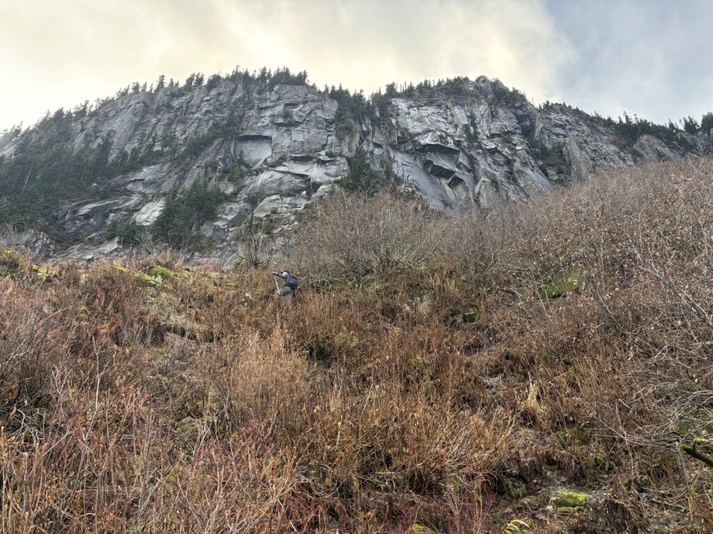
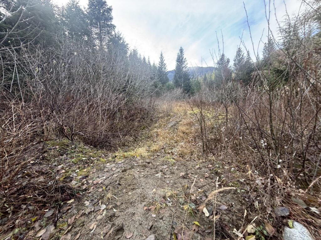
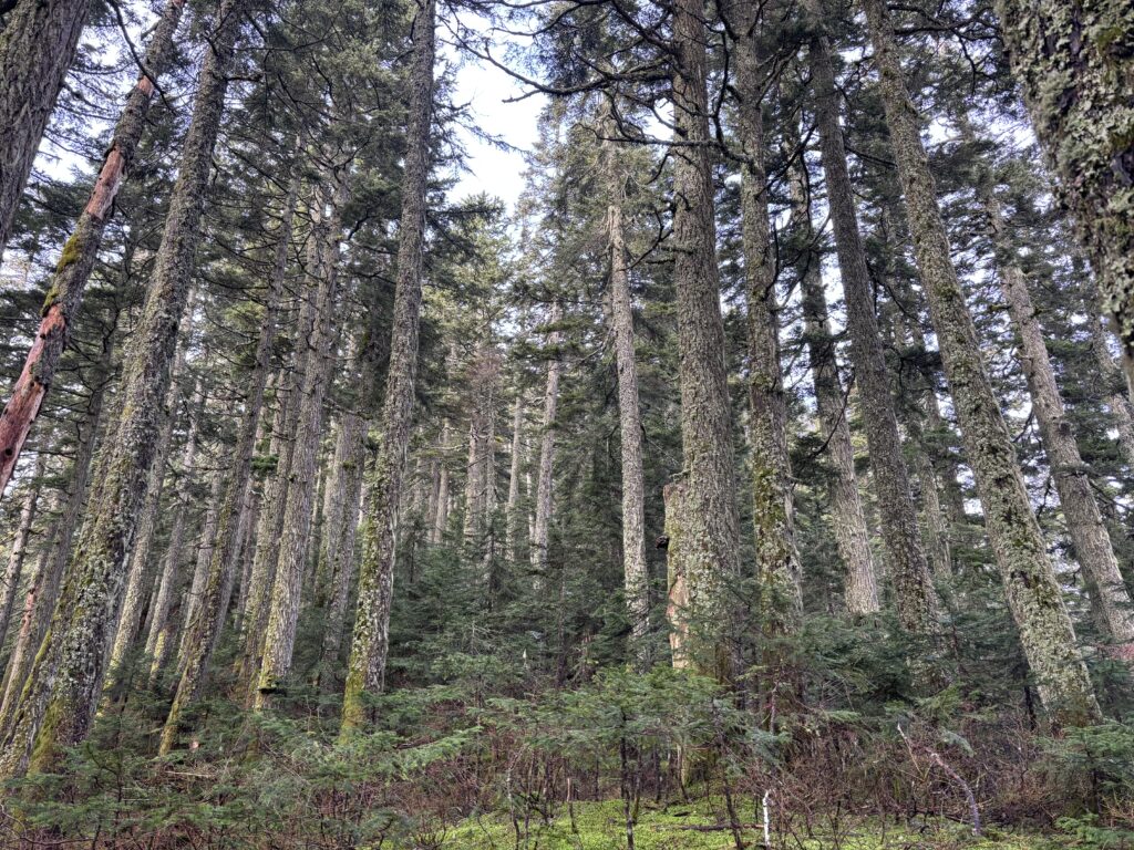
We drove down the American Creek FSR in great condition and continued up some spur roads until the bush was fully encroached on the road. I knew from previous reports we could go further, but it was already a close enough walk so I passed on trashing my truck further. After gathering our bags we hiked down the road and started to plot our plan of attack. Previous parties had used snow and hiked up through steep forest on the east side of the north ridge. Meanwhile, Alex and I though we spotted a reasonable line up to the east ridge where in we could have some fun scrambling.

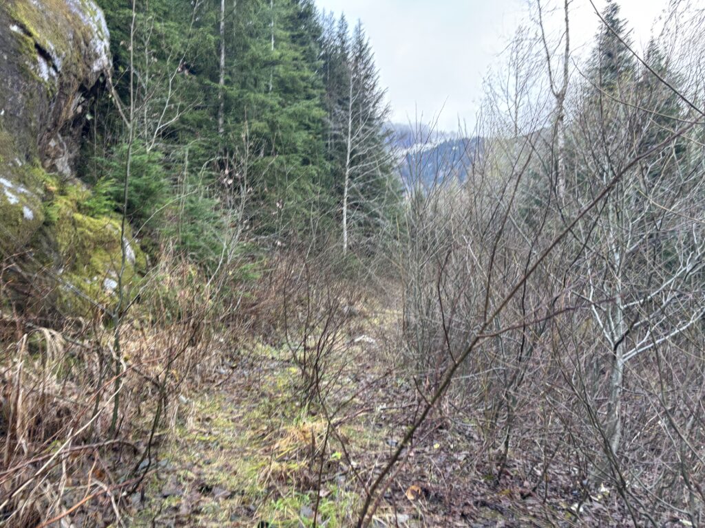
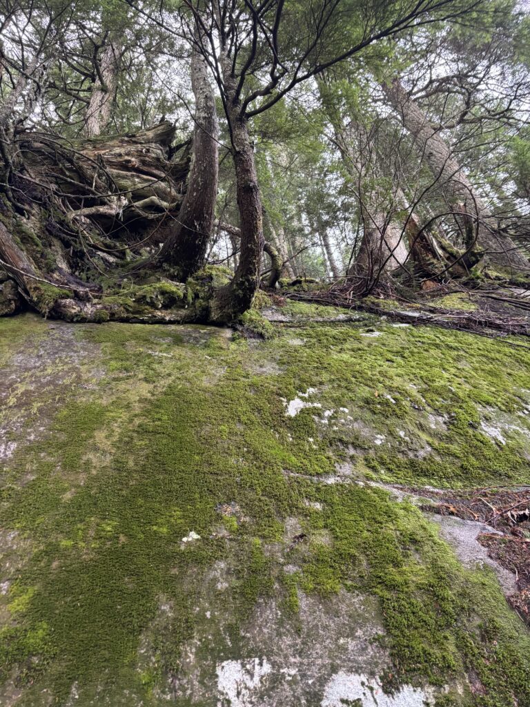
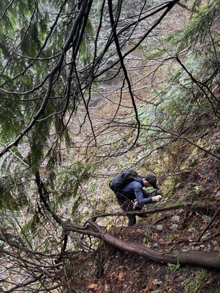
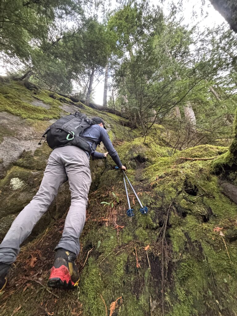
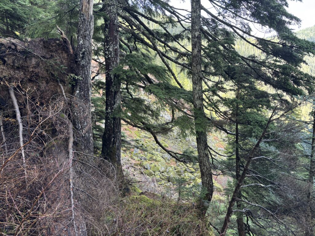
With that we branched off the road and up towards the east ridge. It was initially pleasant travel and then it quickly turned bushy and finally steep. The steepness never relented and we were soon pushed up against moss covered bluffs and slabs. We climbed precariously up through the weaknesses until reaching an especially tricky section. Through some concentrated root pulling Alex found a way up through the steepest section of rock. We continued weaving through dirt terraces until finally topping out on the ridge.

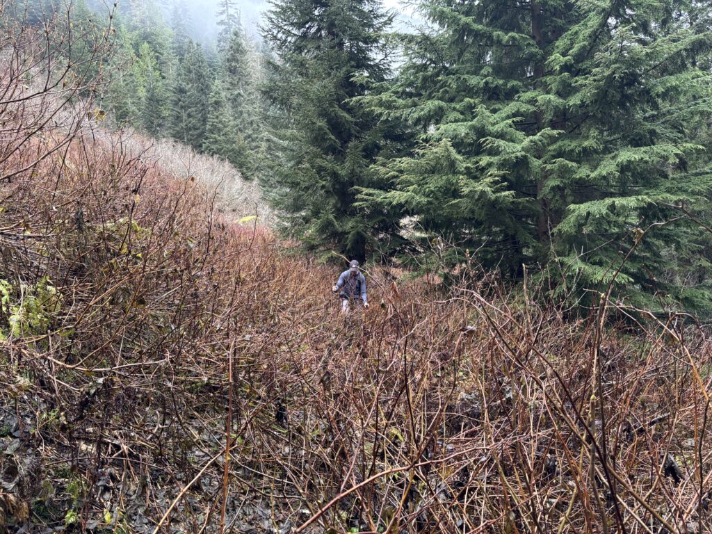
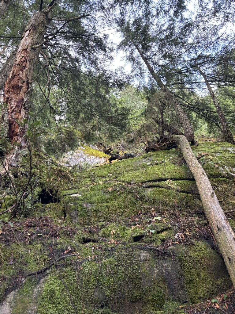
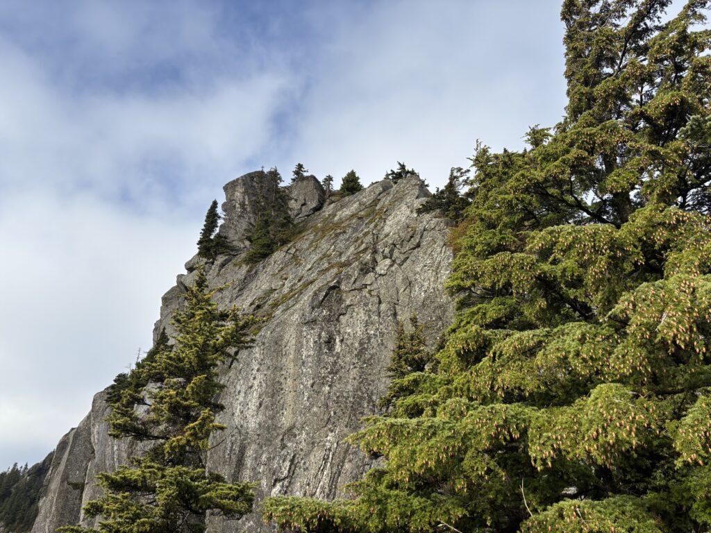
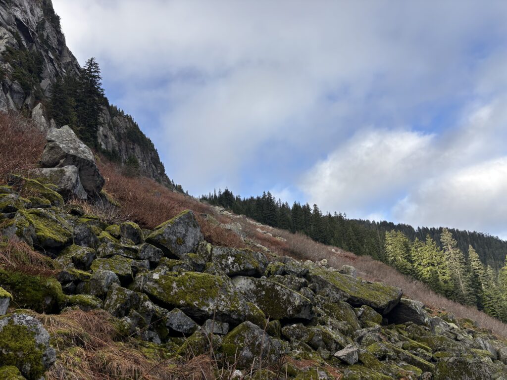
The ridge itself was pleasant for a bit and then we came across a massive gendarme jutting out of the forest. We poked around climber’s right and found a 4th class, moss entrenched corner that would take us up. However, above that was a 15m section of blank looking arete and I didn’t particularly like the looks of it. Alex thought it might go, but I figured our risk accounts were better dispensed on something more worthwhile. With that we dipped down into the forest and joined up with a large boulder field underneath the east ridge.
That took us up to close to the summit where one final steep gully landed us at the top. For a rather short and unassuming peak, this had proved to be more challenging than expected.
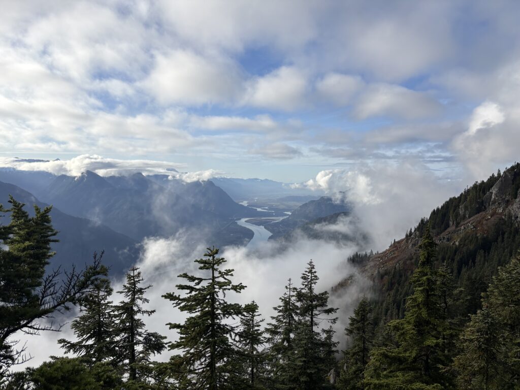
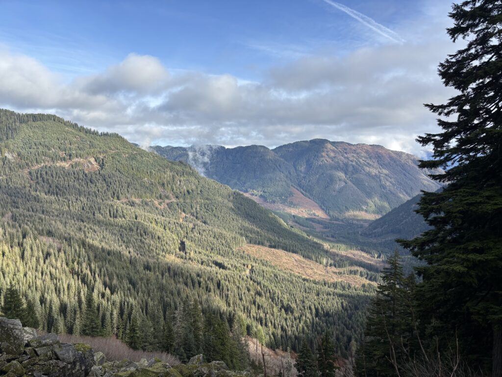
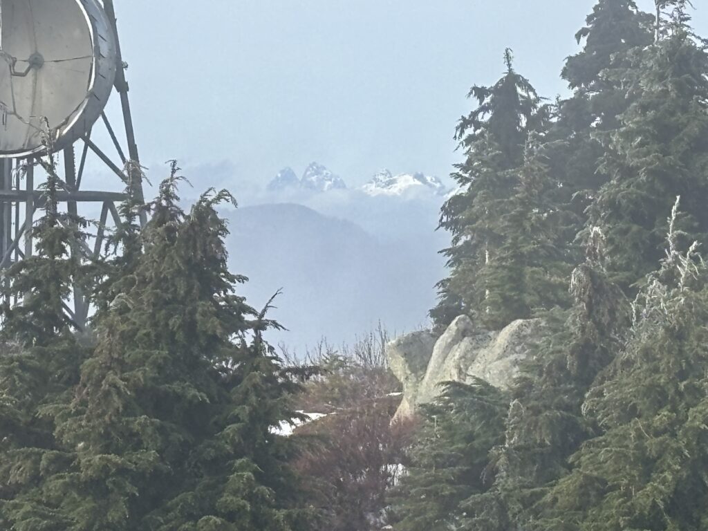
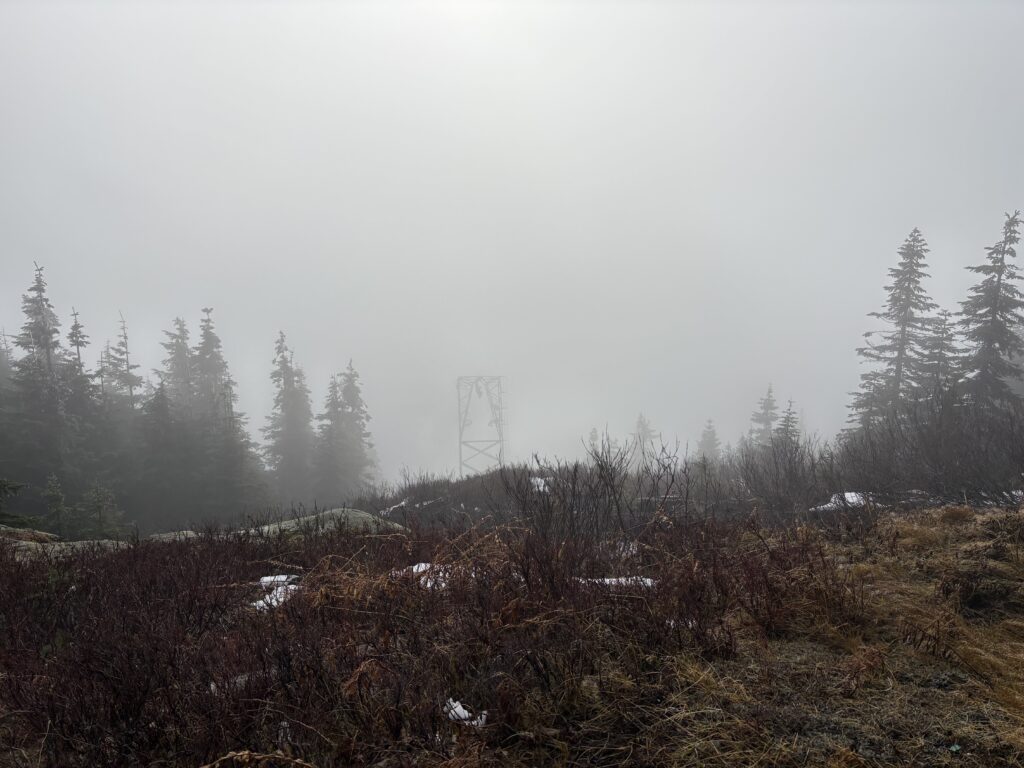
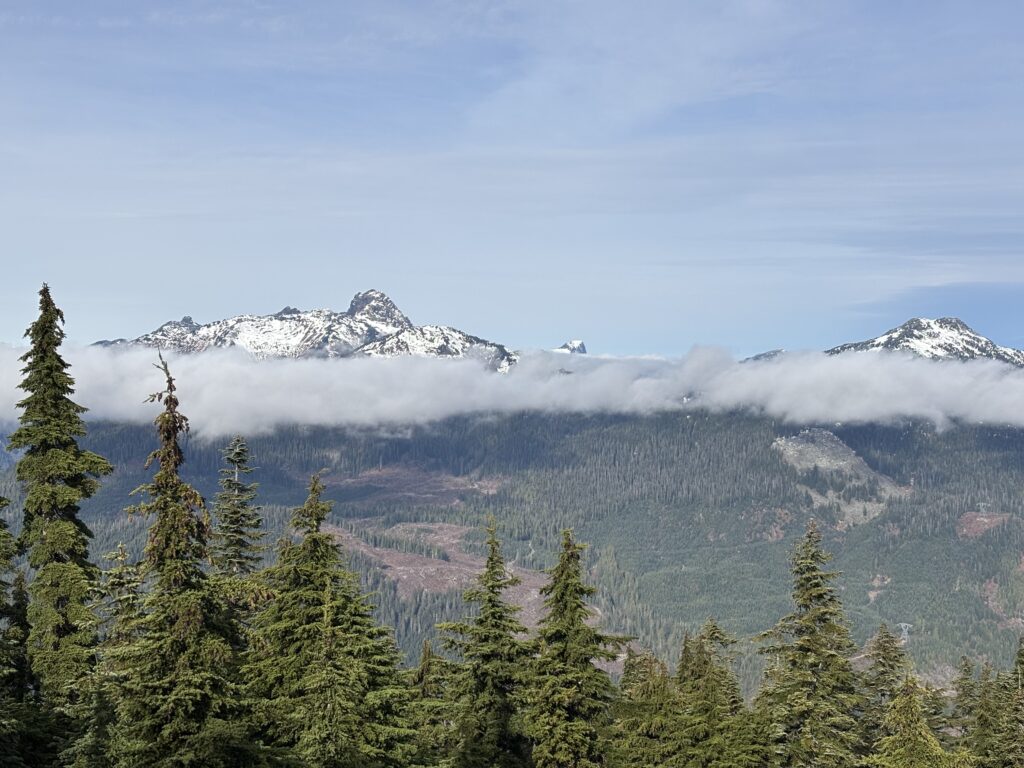
Our gear was unceremoniously dropped on a nearby heli pad while we surveyed the area. The clouds lifted almost as soon as we arrived and the surrounding expanse was actually quite nice. There were no trespassing signs on the radar facility and the main entrance was ajar, so some exploration was necessitated. After that we chose a different return path to avoid the bluffy forest.
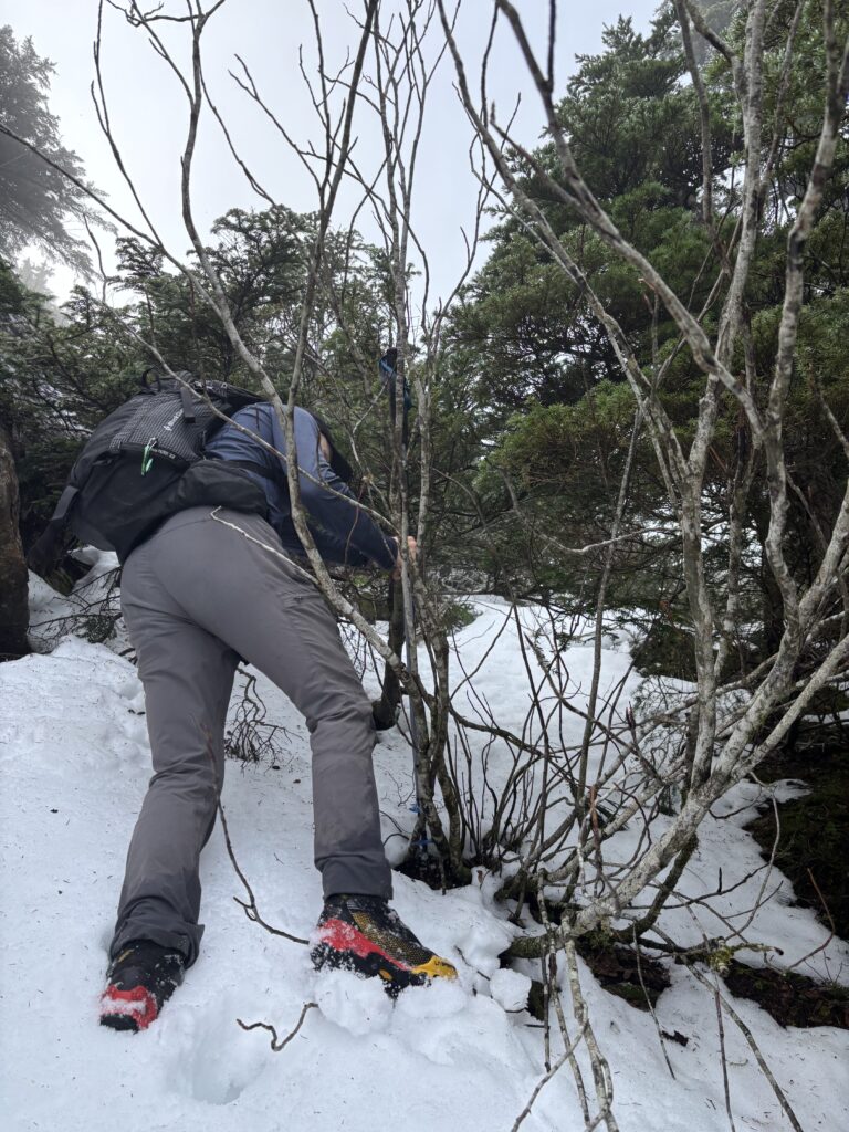

Naturally, following the eastern aspect down produced slabs as well, albeit less steep. We diverted again on to the boulder field and then down through steep forest on the other side. The descent proved to be an even worse bushwhack than the ascent. Once we reached the road it was finally over.