My friends Alex, Brayden, Sarah and I had all committed to a 17 day exploratory trip into the Coast Mountains this year. We had one area deep to the North picked out where we hoped to ascend a number of unclimbed summits. I knew from experience, that for any trip in the Coast Mountains you need at least one if not two fully planned out back up areas. The weather is so fickle it’s rare your first pick is the one you embark on. Not unless you have the whole summer off! This is exactly what happened to Andrea and I on our Kapella traverse and our first area of choice was all but rain for our planned dates.
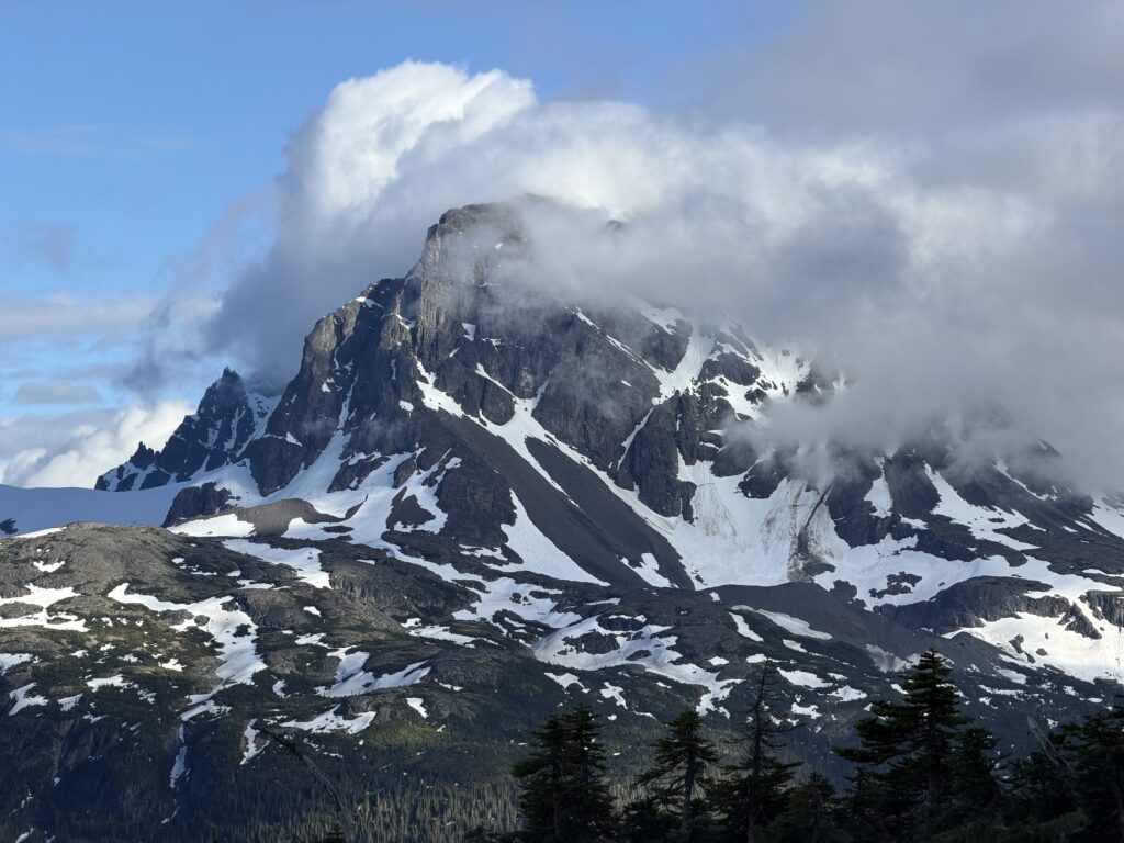
Now again as the dates closed in, we were looking at a bleak forecast. I had done my research though and the back up area in question was a traverse from Compass Lake, north of Bella Coola out to the Dean Channel. Directly Northwest above Compass Lake lies Mount Collins. This summit had caught my eye on our flight into the Kapella headwaters and I dove head long into the alpine journals and maps on our return to see what the deal was. As I read more and more a full traverse began to blossom. This eventually lead to a spring time meet up with Glenn Woodsworth to trade some notes on our respective maps and his knowledge of the area and I came back with a clearer picture of the history in the area.
Being so close to Bella Coola, it’s far from an unexplored zone. Mountaineers, skiers, prospectors, geologists and surely first nations have all been in over the years. Some we’d not find out until after the fact. Starting in the early 1920’s early Bella Coola resident Torger Olsen climbed a number of summits around the Salloomt River area, most notably Mount Stepp. Glenn Woodsworth and Dick Culbert came across his cairns on their own trip into the area in 1964. During that foray, they climbed Pretertion Peak, Mount Creswell and Kalone Peak as well as a few other summits beyond the extent of our traverse route. George Whitmore preceded them by a few years when he bushwhacked up the Salloomt valley, but abysmal weather allowed him to climb only Peak 2250, which had apparently been occupied by surveyors in 1923. In the same year the Glenn and Dick were in the area, Jim Buckingham and Monty Lasserre climbed Index Crag and a few minor summits in the area. It seems the pace quieted down a bit after this and it wouldn’t be until 1979 or so that Glenn re-visited the area via Compass Lake for further geology. In 1986 Fred Beckey an co. climbed a north facing glacier route between Thunder Mountain and Tzeesaytsul but did not summit either peak.
After the fact, I found that Jim Haggart and some colleagues of the GSC had done a fair bit of surveying in the area in the 2000’s. Mark Grist, Peter Rowat and Lena Rowat also nearly made it up Mount Collins in 2009 as part of a long ski traverse. Most recently, Sam Mckoy, a local ACMG guide, and some friends did a traverse south to north from Bella Coola to the Dean River that would bisect our route. However, they were primarily focused on a big traverse and less so on summits.
All of that to say, there’s been a lot of exploration. Threading the needle through this area to find some unclimbed peaks was a big task, but I felt there were still a number of summits along the way that awaited a first ascent.
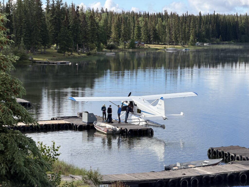
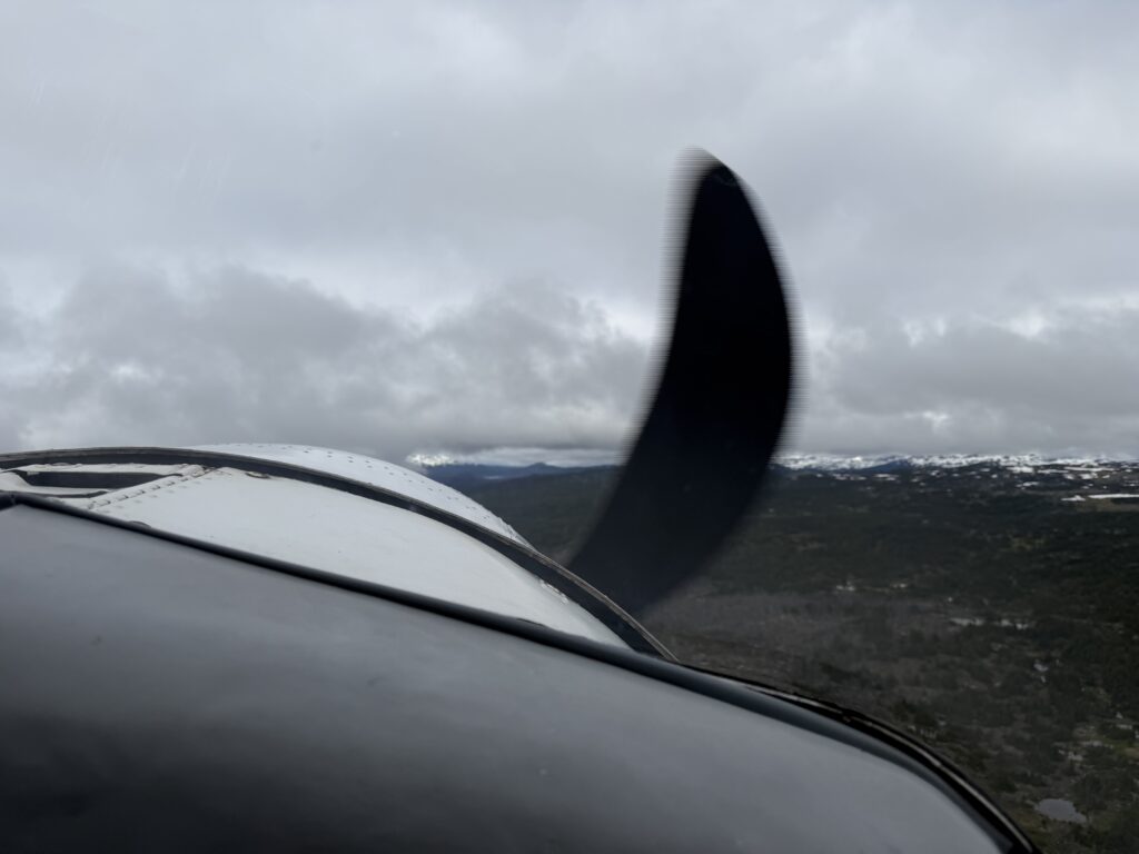
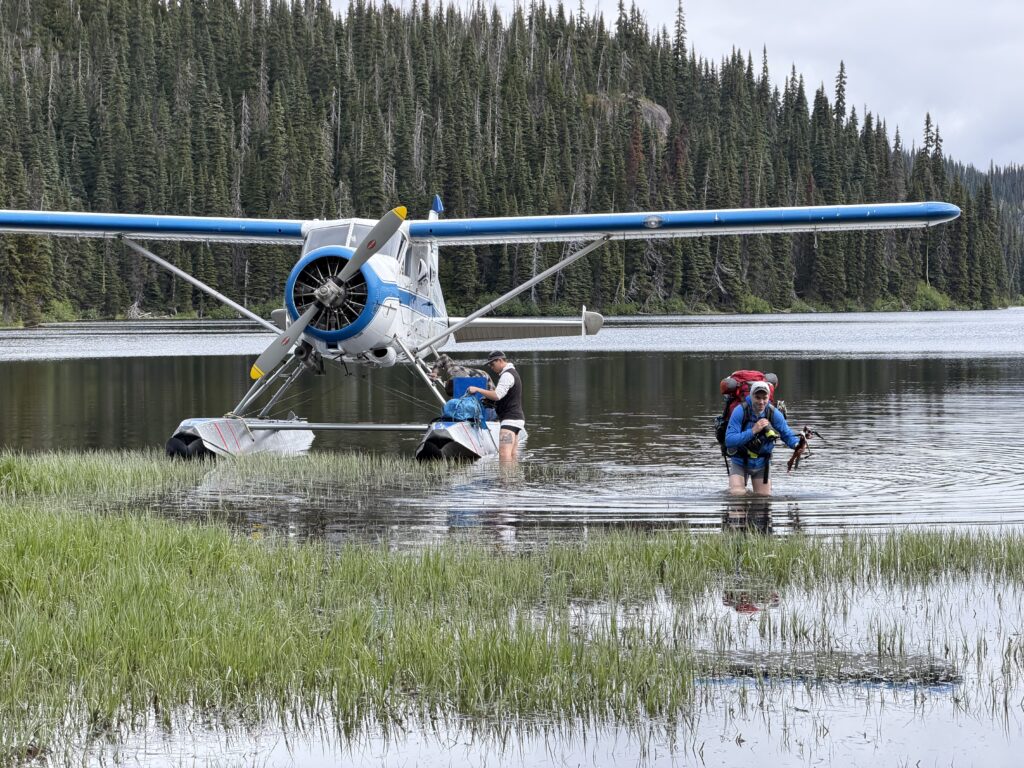
Now that our original plans were out the window, I through this back up idea up to the group and they were on board. The catch was that we’d have no food drop and we’d be carrying 17 days worth of food along for the journey. We found a few opportunities to do day trips and lighten the load, but it was going to be a bit of slog to say the least. With our plan in motion, we set off for Nimpo Lake for June 26th. On the next morning, we were the first flight out on the beaver and our pilot Ethan, weaved a narrow route through the clouds along the Rainbow range and dipped down for a smooth landing on Compass Lake. He got us as close as the plane would allow to the shore and from there we stripped our pants off and made a boggy traverse to dry land. Our ride promptly took off and the adventure officially began.

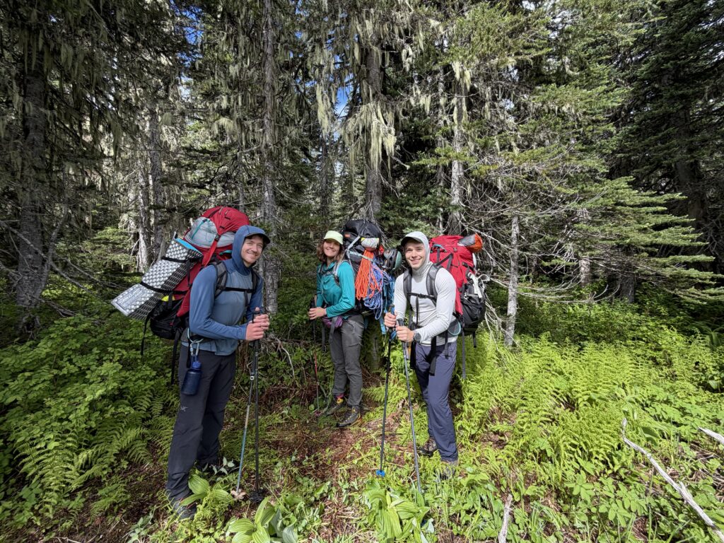
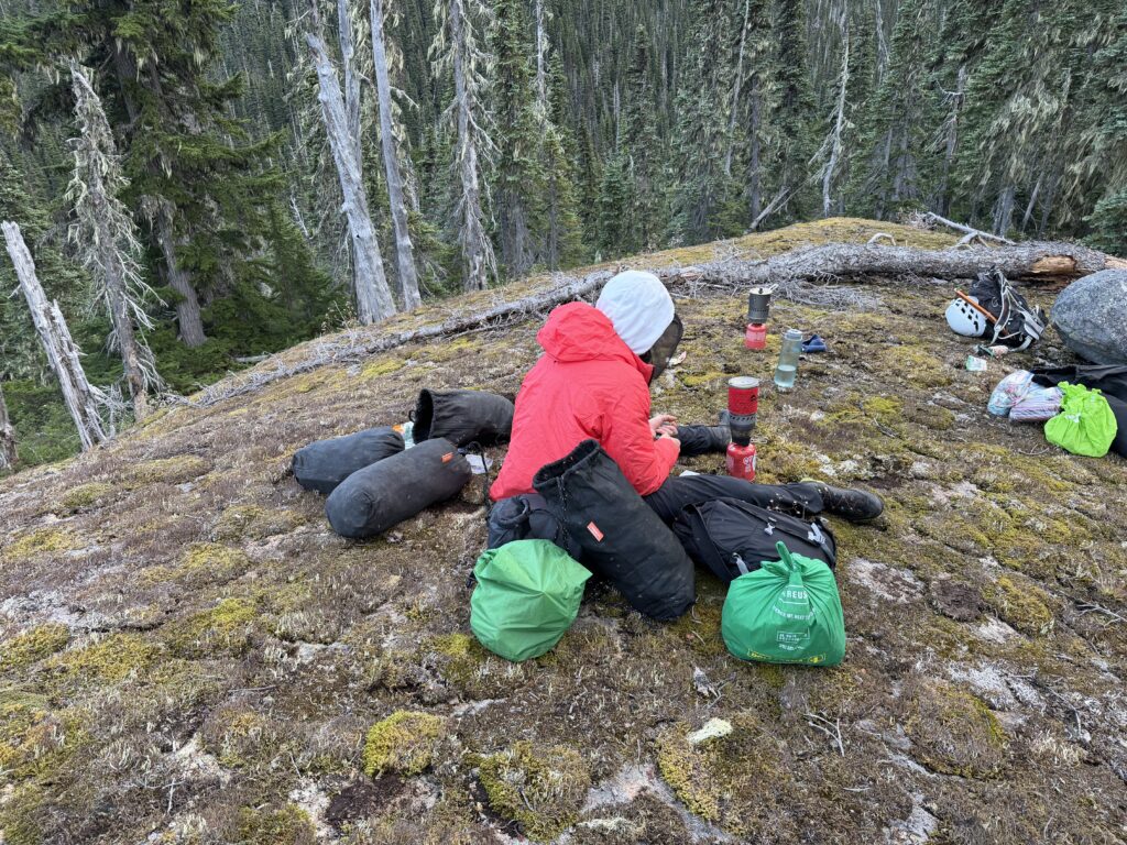
Loaded with 85lb packs, we made a quick call to set up camp on a rocky knoll about 300m from the lake shore. Our pack mule train booted up and traversed through some rain soaked bush and up to the knoll where a great camp spot presented itself. Although we quickly discovered an ambush had been set by the local population of mosquitoes and we hurriedly assembled tents and mosquito nets to escape.
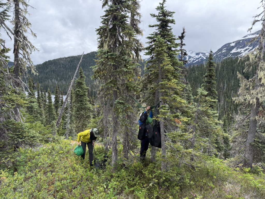
Once our abodes were in order, it was time to set off for our first objective of the trip: Mount Collins. We had a stretch goal to climb Stack Mountain as well, but only if time permitted. The first order of business was a 3km bushwhack to treeline. All of the bush was flush with water and within a few hundred meters we were all soaked. The bush also proved to be a lot worse than might have appeared at first glance. It was a reprieve to finally escape it above 1400m.
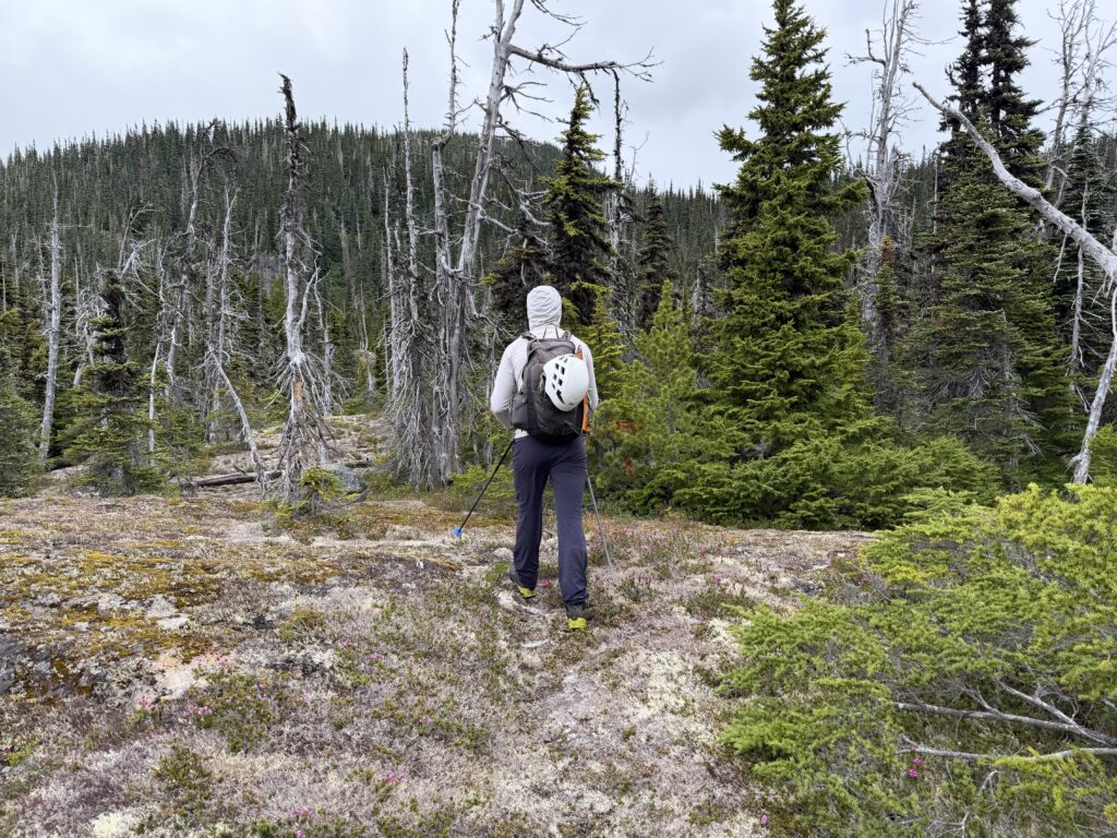
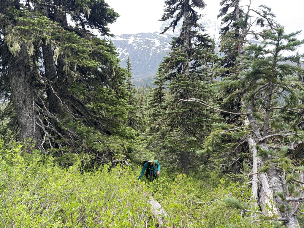
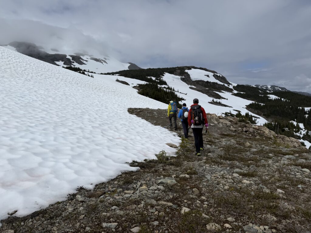
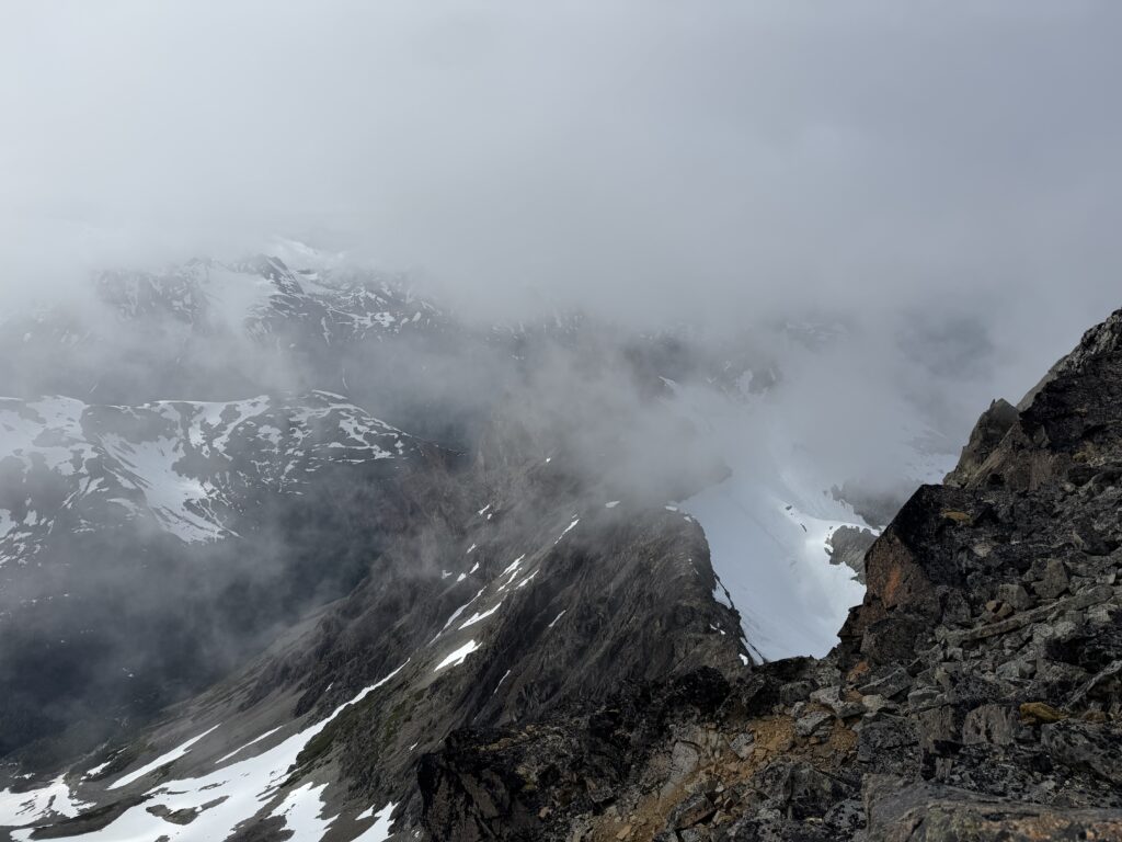
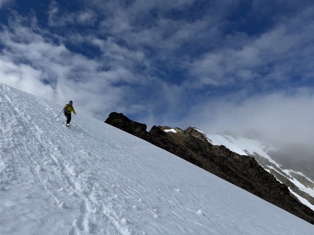
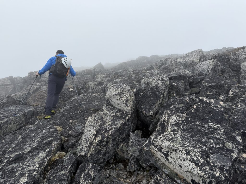
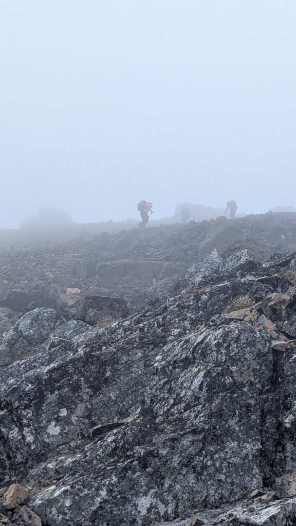
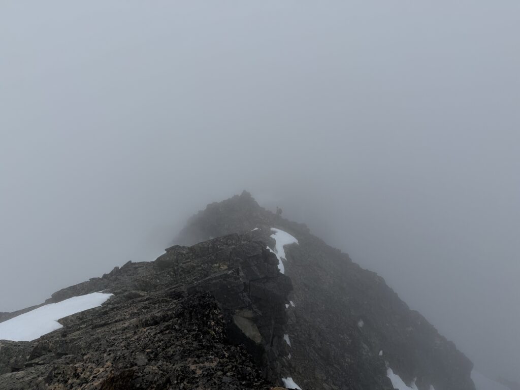
Clouds obscured anything above 1800m, but we had a relatively easy ridge line to follow. We traversed around the 1997m peak south of Collins and then along snow slopes to regain the ridge. Another ridge of at most 3rd class scrambling took us to the West ridge which lead all the way to the summit without much difficulty. At the top we initially found nothing. However, when looking from the north a depression gave the impression that there have once been a cairn long ago. This was from a rather charitable angle, however. Nonetheless, we pulled rocks apart to compare weathering and did our best form of “cairn forensics”. Ultimately, I didn’t feel comfortable claiming a first ascent yet until some objective observers could see the photos we took.
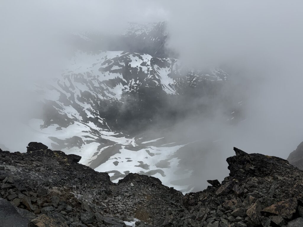
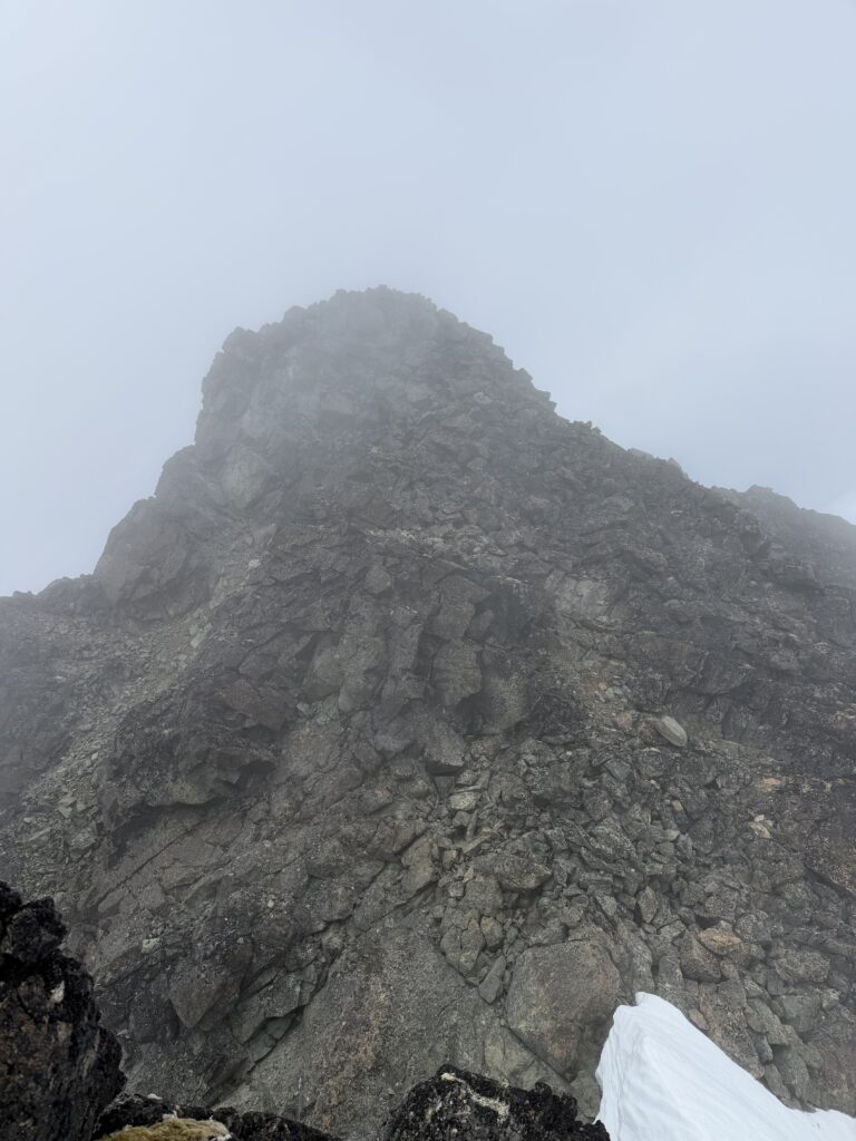
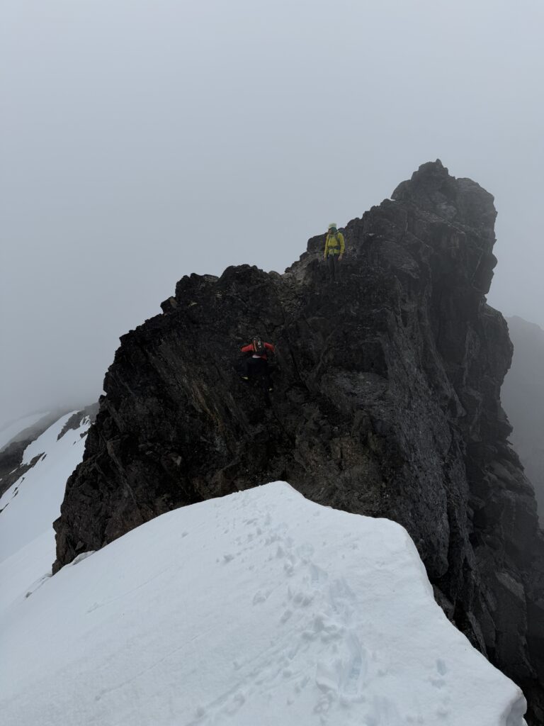
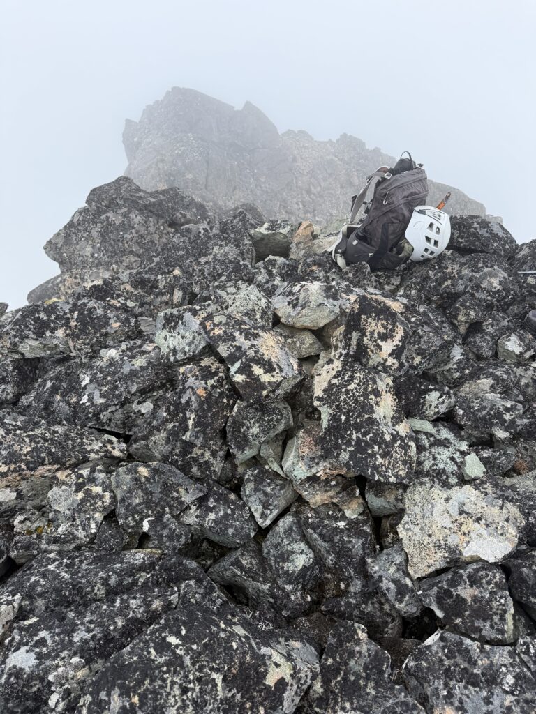
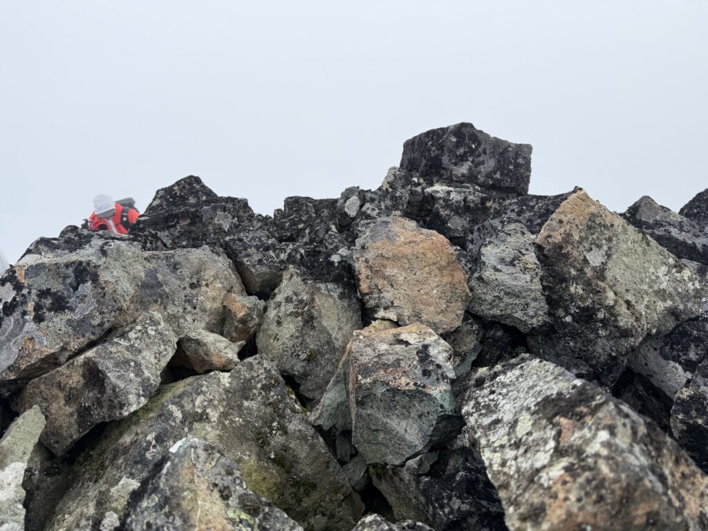
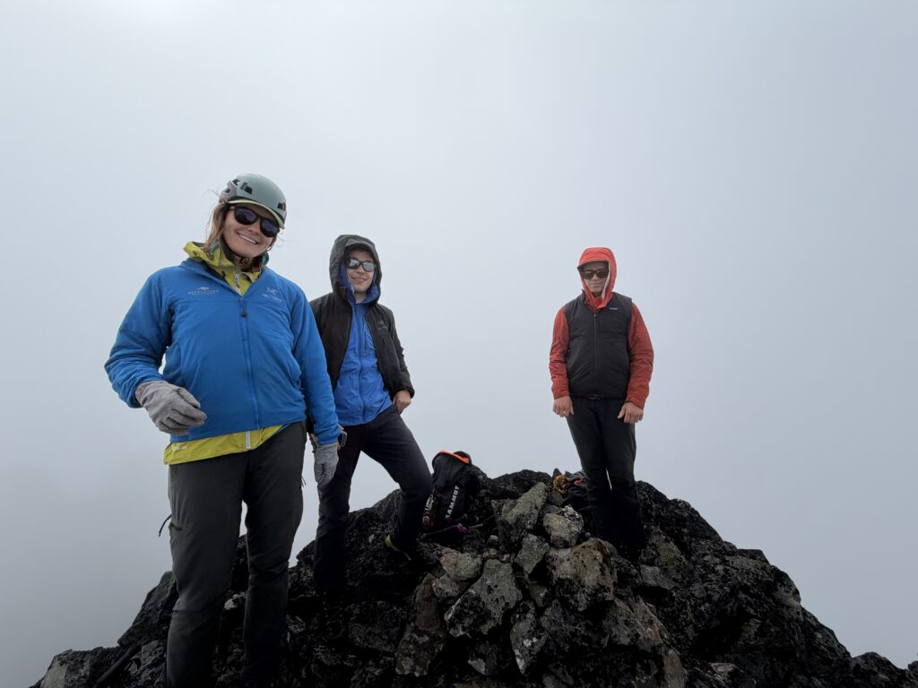
With our documentation in hand it was time to head off as the clouds offered little in the way of views. The bushwhack back to camp was a bit tedious, but we had a pleasant sunny dinner on “mosquito knoll”. We had one more day planned on the knoll and that was to give us the chance to checkout Tzeetsaytsul Mountain. Another summit for which there was no recorded ascent.