Elevation Gain: 1,780m
Distance: 14.3km
Total Time: 8 hours 37 minutes
Date: May 3rd, 2026
Estero Peak is a prominent summit located in between Frederick Arm and Bute Inlet, just 26km northwest of Elk Bay on Vancouver Island. Alex and Trevor put this summit on my radar after they had tackled nearby Mount Van der Est and Mount Addenbroke; two other prominent coastal mountains. This was the final summit of the trio and they planned to make romp to the top this year. I wouldn’t have to wait too long as a prime weather window would open up in the beginning of May. Elsewhere the avalanche conditions weren’t great, but on these coastal outliers there wasn’t as much snow and it seemed like the perfect opportunity to get up there.
The crux of this peak is really the logistics. Vancouver Island ferries area always a nightmare and one must cross to the Island, drive a few hours up past Campell River and then take a water taxi back to the mainland. Thankfully, I was just tagging along for this one and our group of Brayden, Erica, Steven, Alex and Trevor had sorted all of the logistics out already.
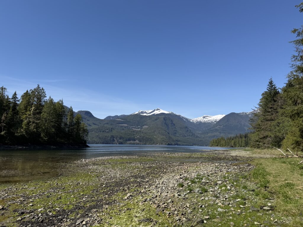
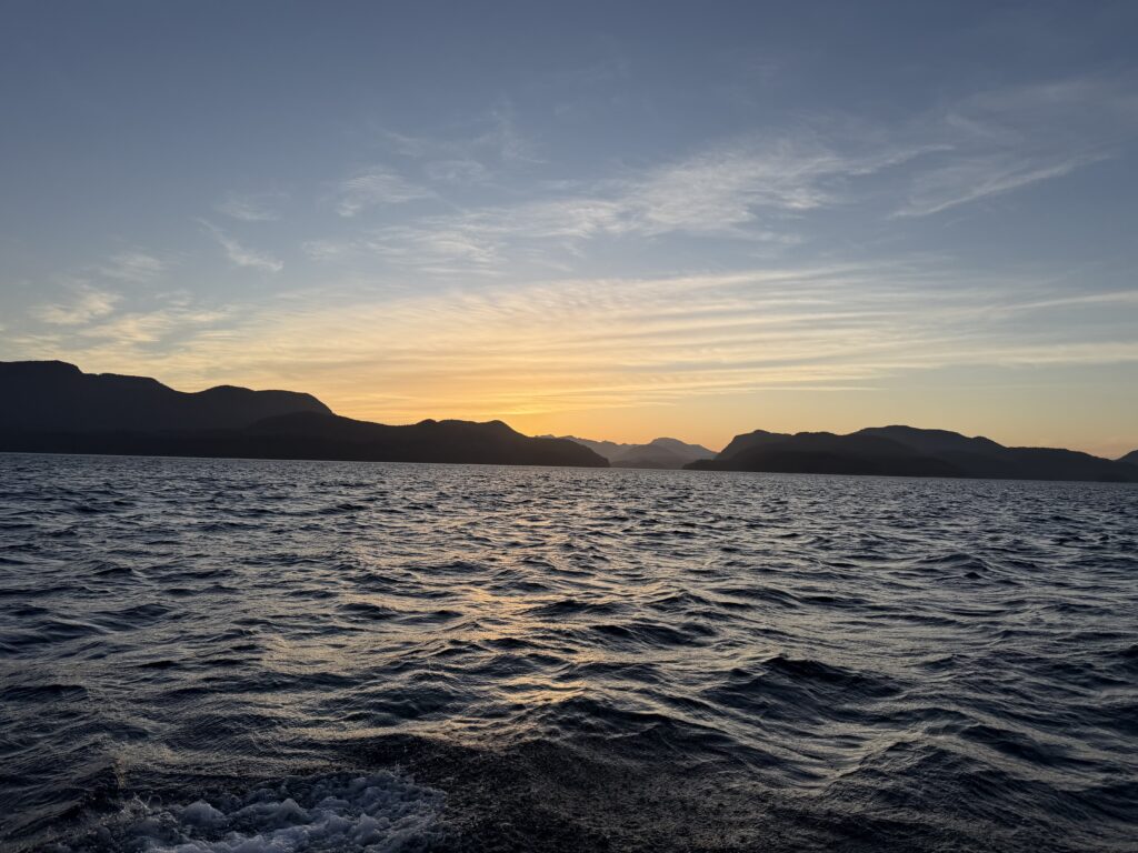
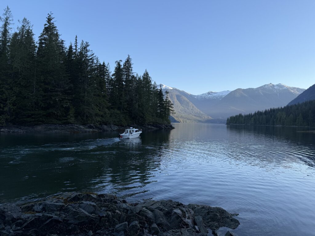
Alex, Brayden and myself carpooled together to Horseshoe Bay while Erica, Trevor and Steven left from Tsawwassen Bay a few hours earlier. We pulled in late to the camp ground at Elk Bay and promptly passed out. At around 5am we got going and our water taxi arrived right on time at 6. The boat ride was phenomenal and we passed through the endless contours of rocky coastal shorelines before reaching our drop off point. Our boat pulled right up to an outcrop off the shore and we were soon marching through the forest.
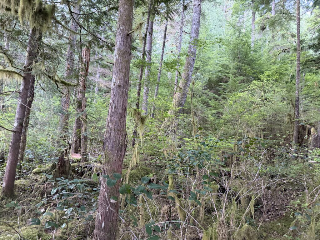
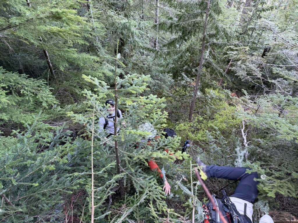
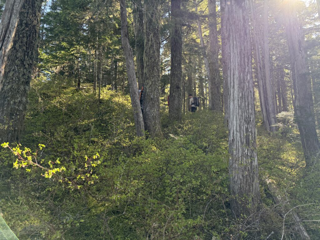
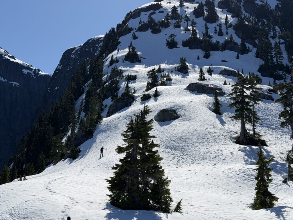
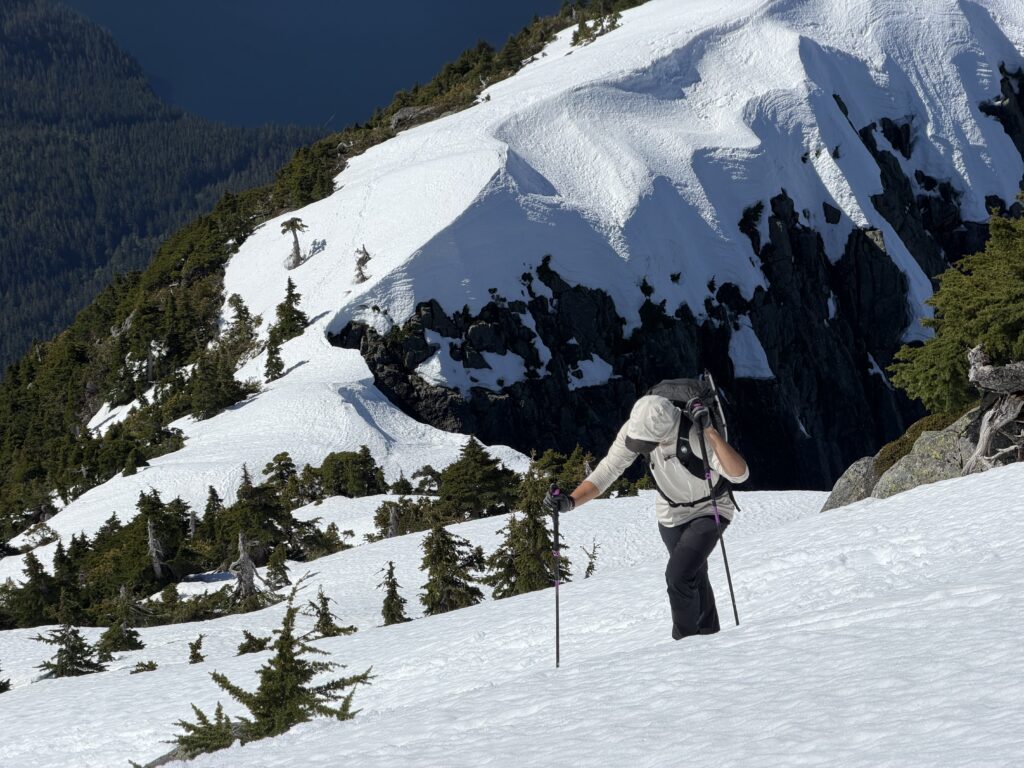
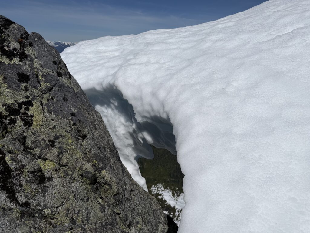
Our ascent started with a smattering of decaying forest floor and bush, but it eventually became more civilized. The worst of it was a band between 700 and 1000m and above that we capitalized on the snow cover to make quick progress. Once on continuous snow, we encountered one steep slope up the west shoulder and then weaved through bushy steps to the first summit. This turned out to be a false summit and so we traversed a few hundred meters east to the actual high point.
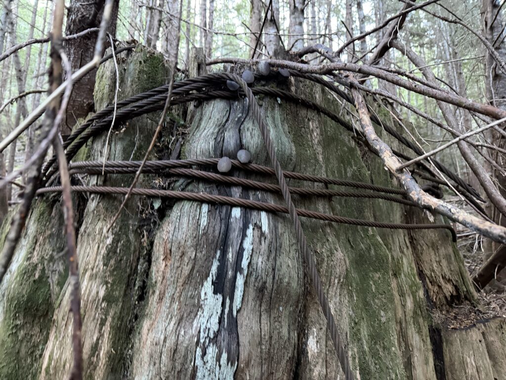
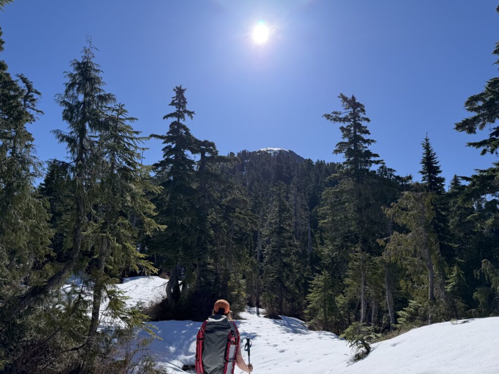
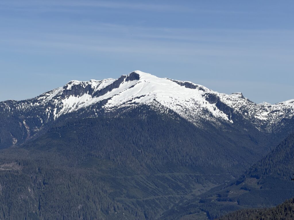
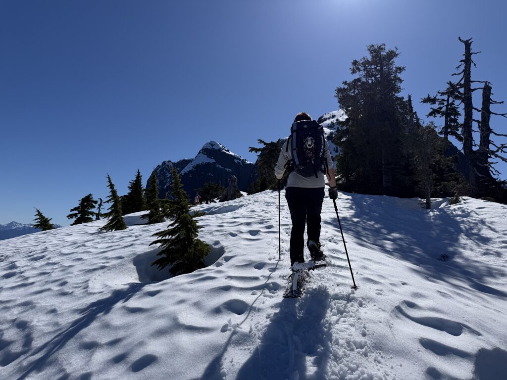
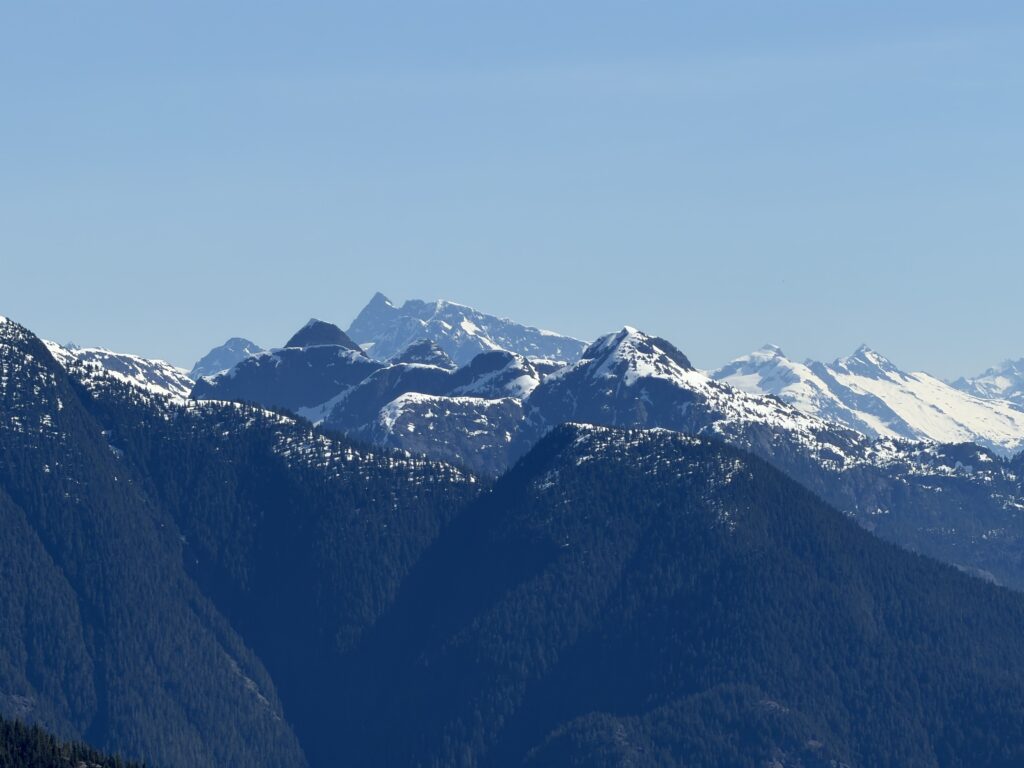
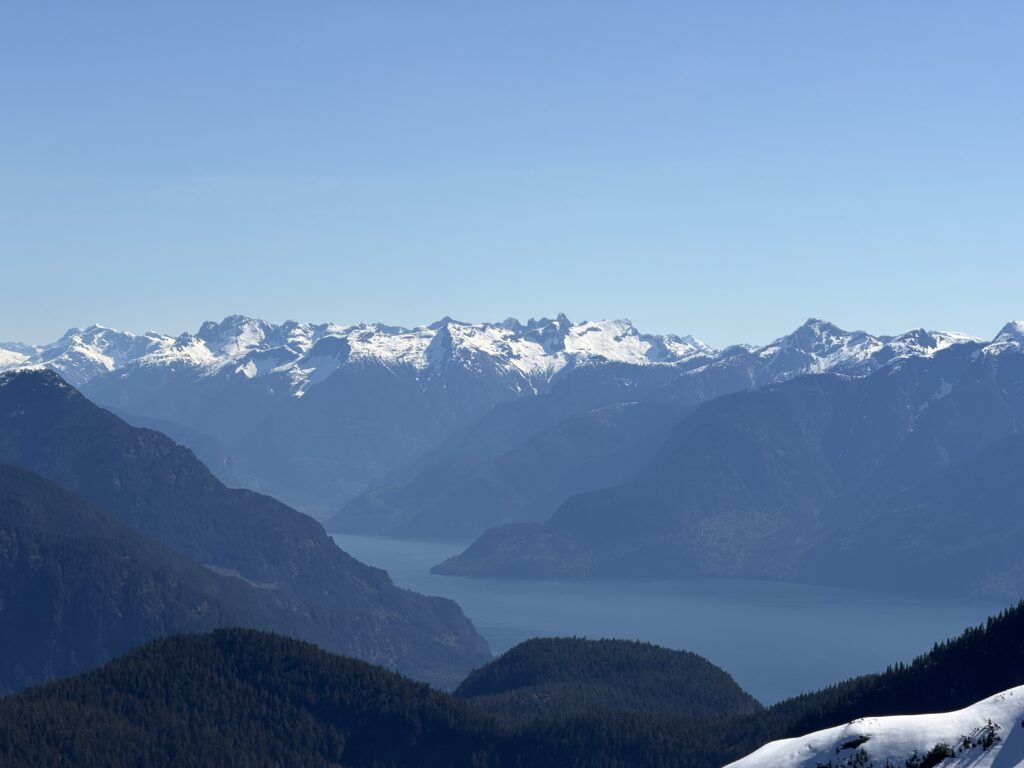
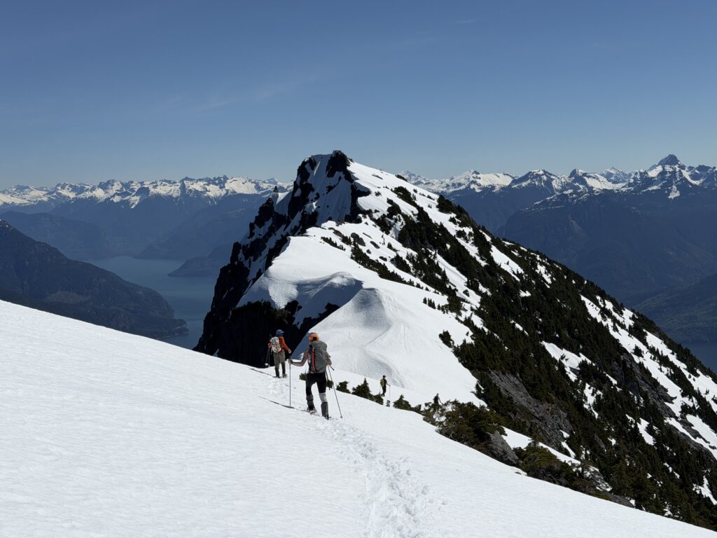
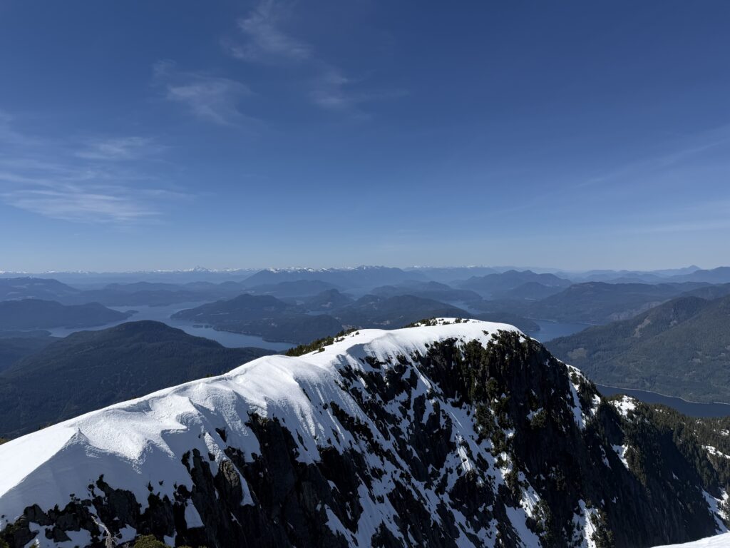
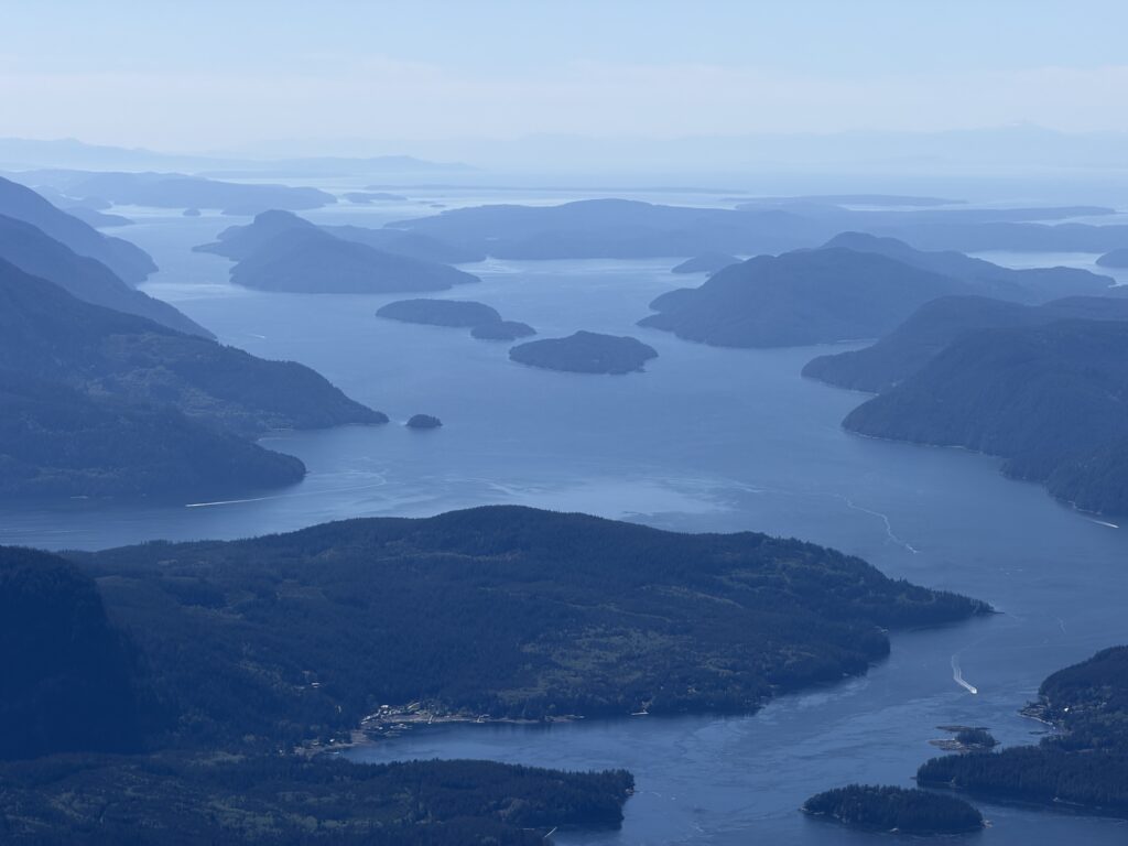
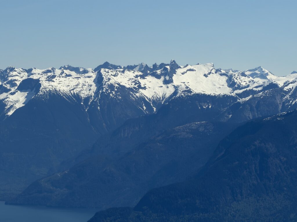
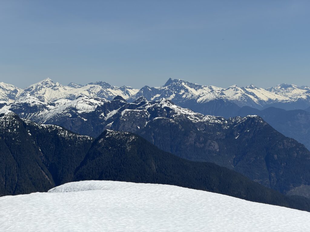
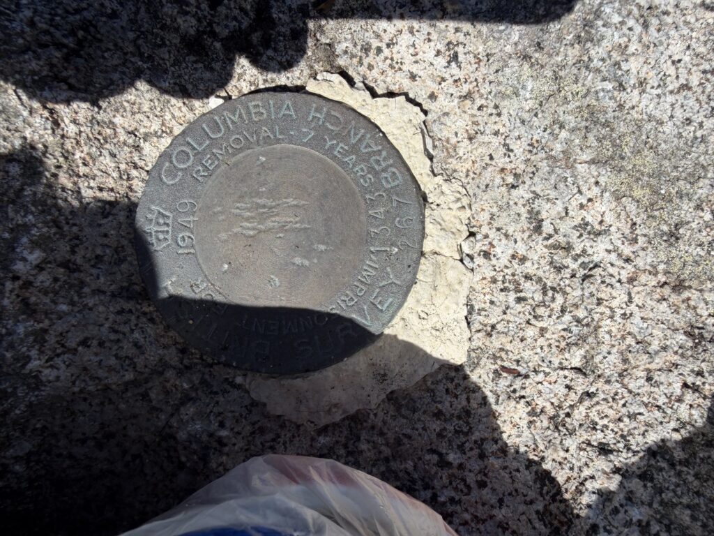
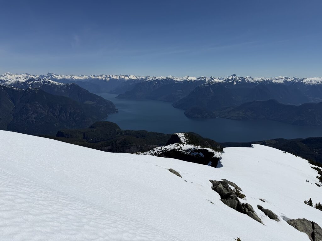
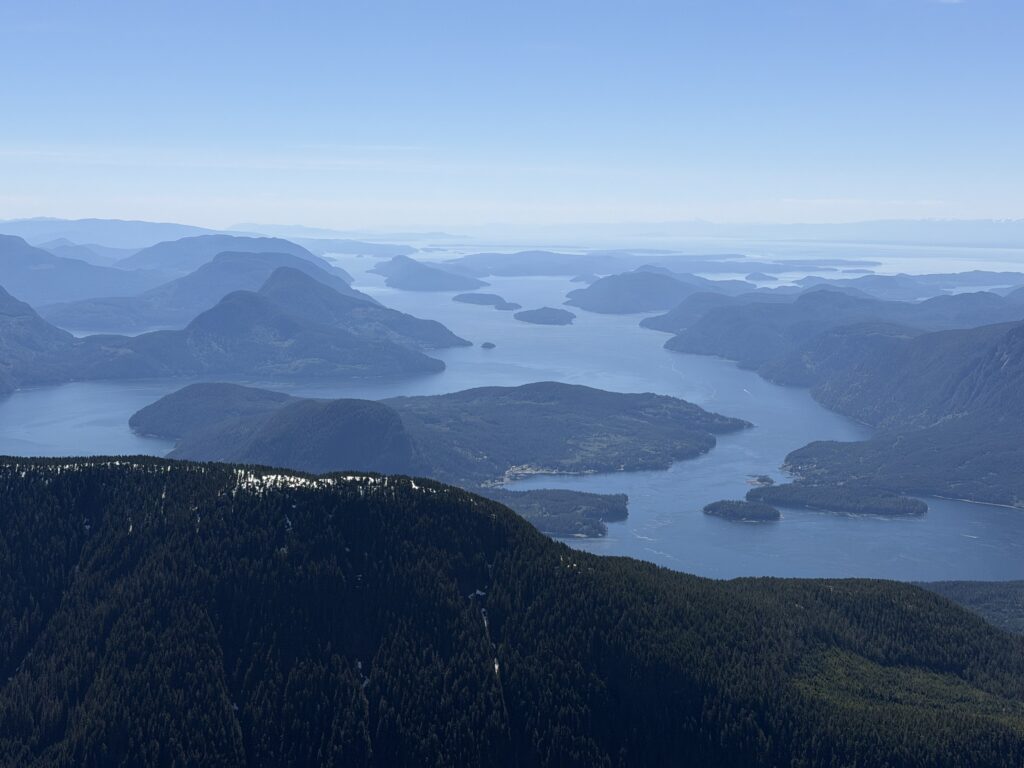
The true summit was adorned with a survey marker dating back to 1949. I’m not sure if that’s when the first ascent of this peak occurred but it certainly shows the history of the area. To the north lies the series of ridges that constitutes John Clarke and Baldwin’s “BAMPS” traverse. We also had views of Cosmos Ridge; a craggy set of summits first climbed by Glenn Woodsworth and Peter Holbek in 1976. The summits across the Bute Inlet also caught my attention. Especially Orford Tower. Finally, it was hard to ignore the expansive views of the coast line itself. Countless islands filled the scene, delineated by deep blue networks of water. I was really pleased to see an entirely new area and I understood why Trevor and Alex were now back for a third summit in this zone.
On our return we re-traced our steps, albeit on notably mushier snow, and soon we were bushwhacking with the aid of gravity. We reached shoreline some 8 hours after we left and took the opportunity for a quick swim. Peter arrived shortly after to pick us up and we were home bound before long.