
Elevation Gain: 1,562m
Distance: 19.57km
Total Time: 9 hours 16 minutes
Date: April 9th, 2026
Crawford Peak caught my eye for no other reason other than it’s tucked away in the Mamquam area and looked like it might offer some promising views. Open street map even had a ski approach and descent marked on the map and with a good snow pack it might be a really fun outing. I’d asked a few people over the past few months about doing it, but the timing never worked out. Finally, this week Andrea and I were looking for an outing and ideally on skis. I made a quick scan of the snowline on satellite imagery and it looked to be at its maximum. On Wednesday night we committed to seeing what was all about.
The following morning we drove down the Skookum Creek FSR where we hit snow about 2km from the trail head. Thinking we’d reached the drive-able extent, we packed up and started walking down the road. Lo and behold, around the corner the snow ended and ahead was another 1.5km of bare road. We decided to risk it and I ran back to the truck and managed to get through the snow without much issue. That allowed us to skip a boat load of road walking!
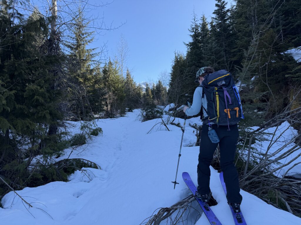
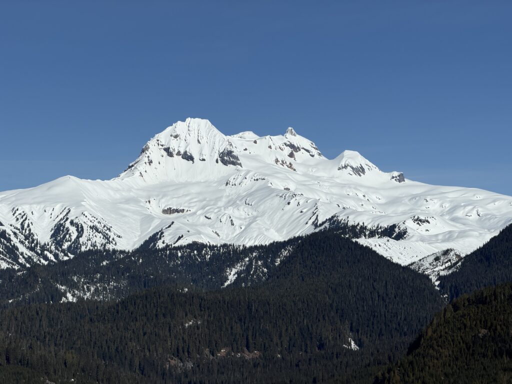
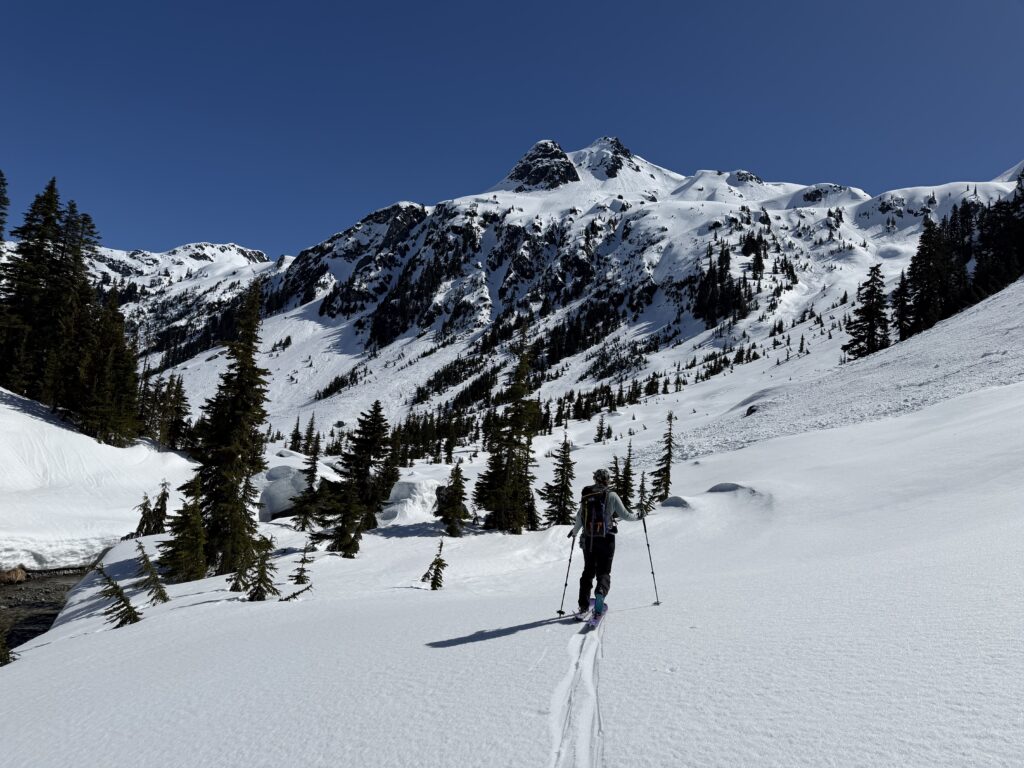
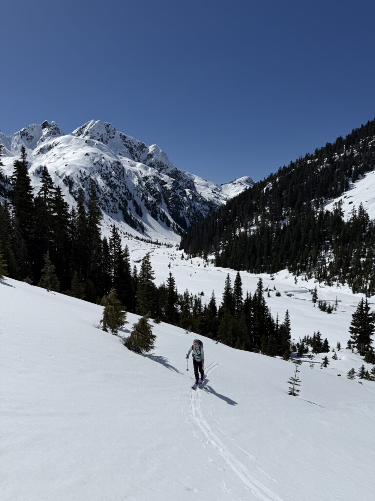
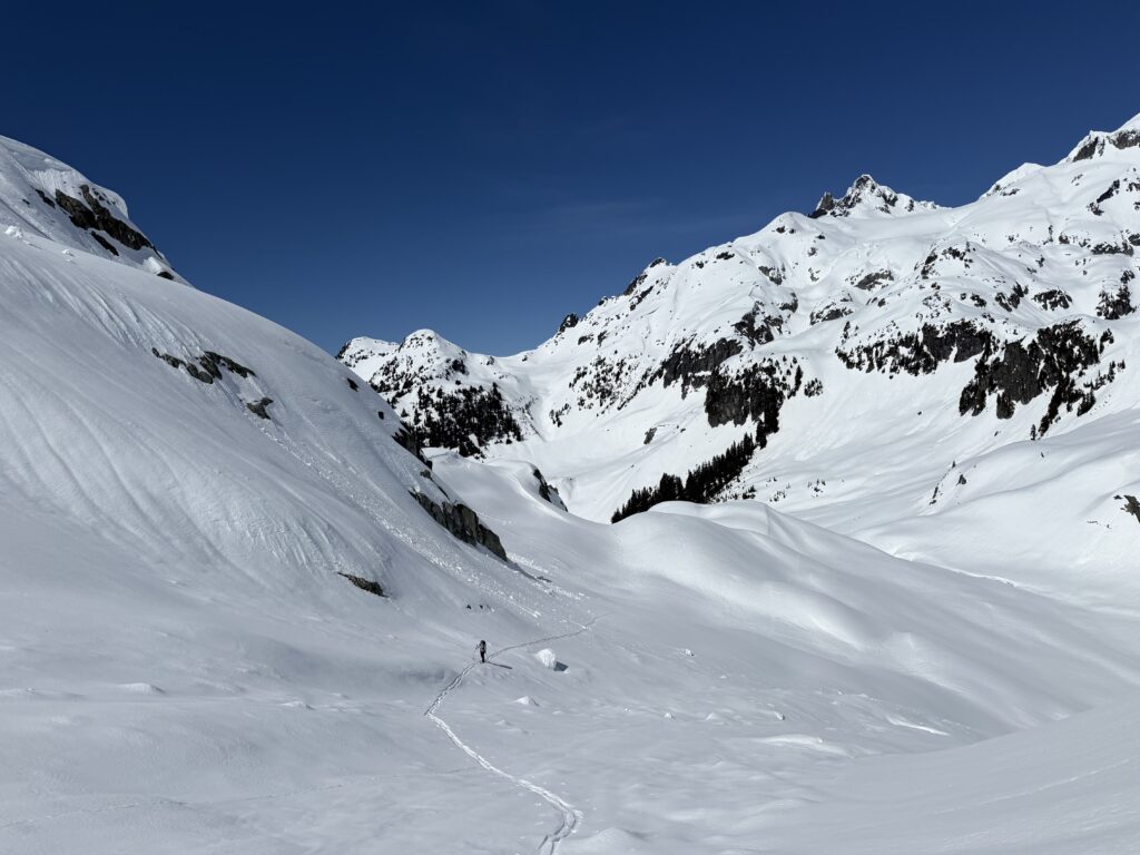
Now from the trail head we had an easy hike up to the snowy road one switch back above and it was skis on for the rest of the trip. We winded up the logged slopes and then into the mellow unlogged forest above. Our route dropped back down to Paranoid Creek on easy terrain and then we had a truly lovely approach in the valley. Dreadnougth Peak would frame our view for the bulk of the approach and it looked somewhat Himalayan from our vantage. The absolute highlight was reaching a large flat plain at the head of the valley with Mamquam and Dreadnought high above us.


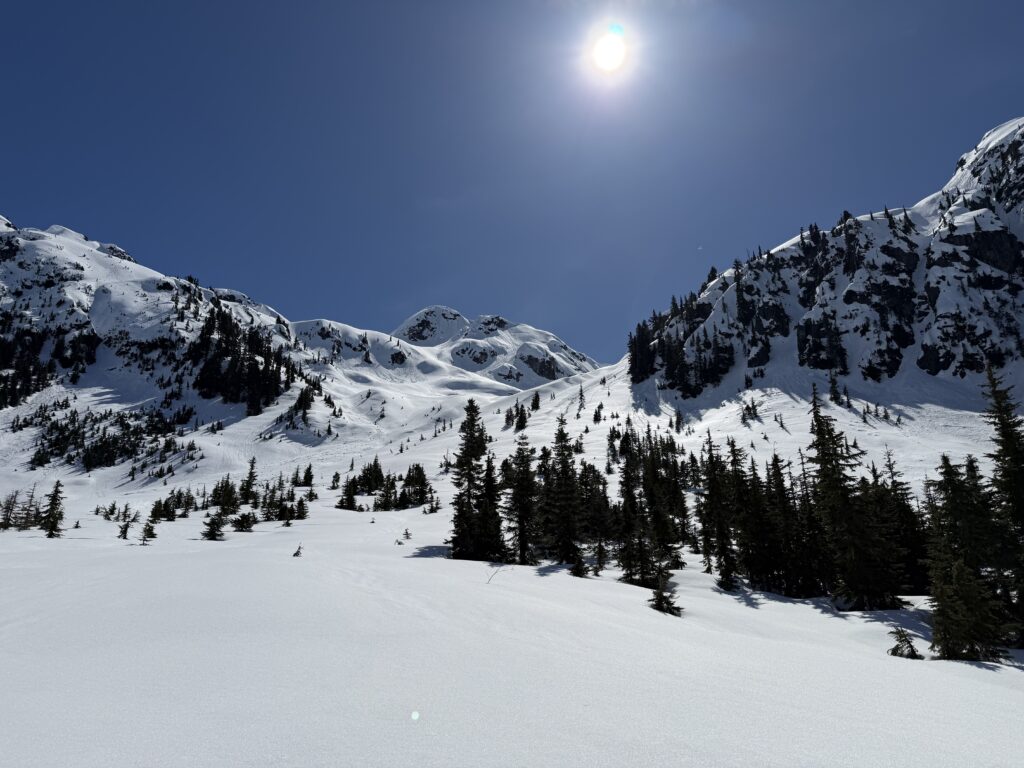
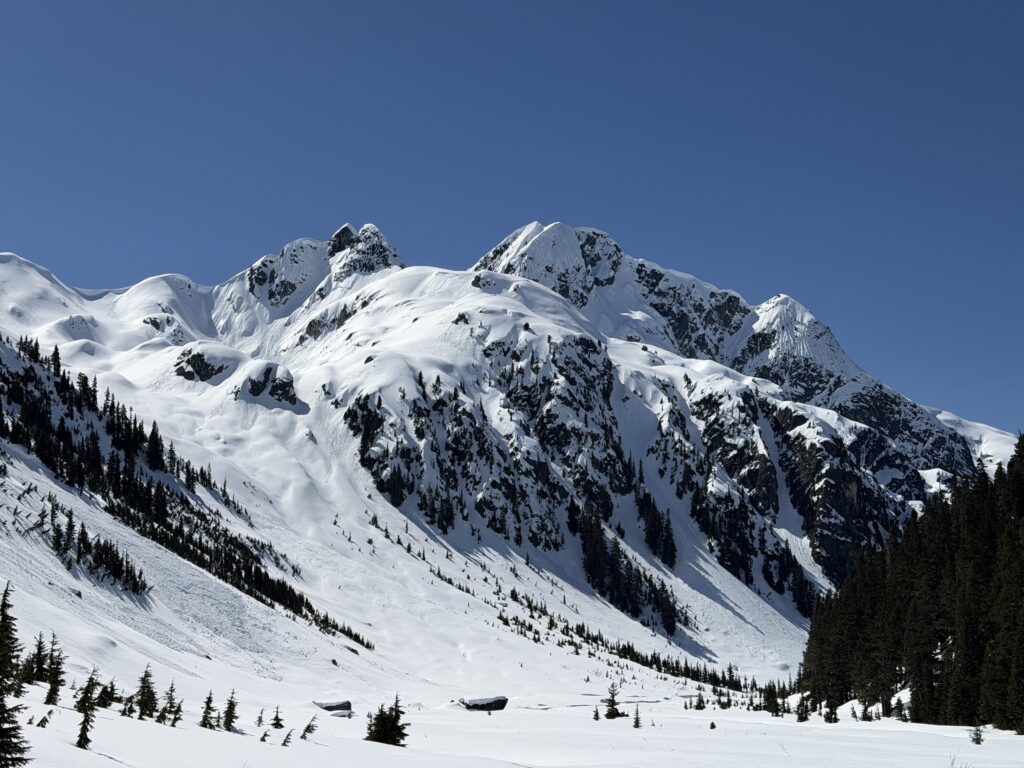
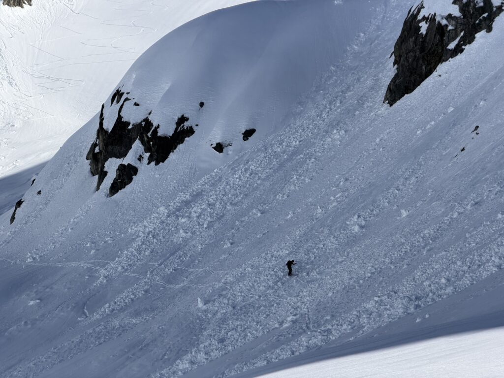
We stopped for a lunch break before the final long ascent up to Crawford and then got on our way. The first section was easily dispatched with and then we had a good view of the glacier up to Crawford. There was a narrow choke point strewn with old debris and a pinnacle above with huge looming cornices. We decided to go one at a time and boot across as quickly as possible. By hugging climber’s left of the glacier we avoided any prolonged exposure and it worked out very nicely.
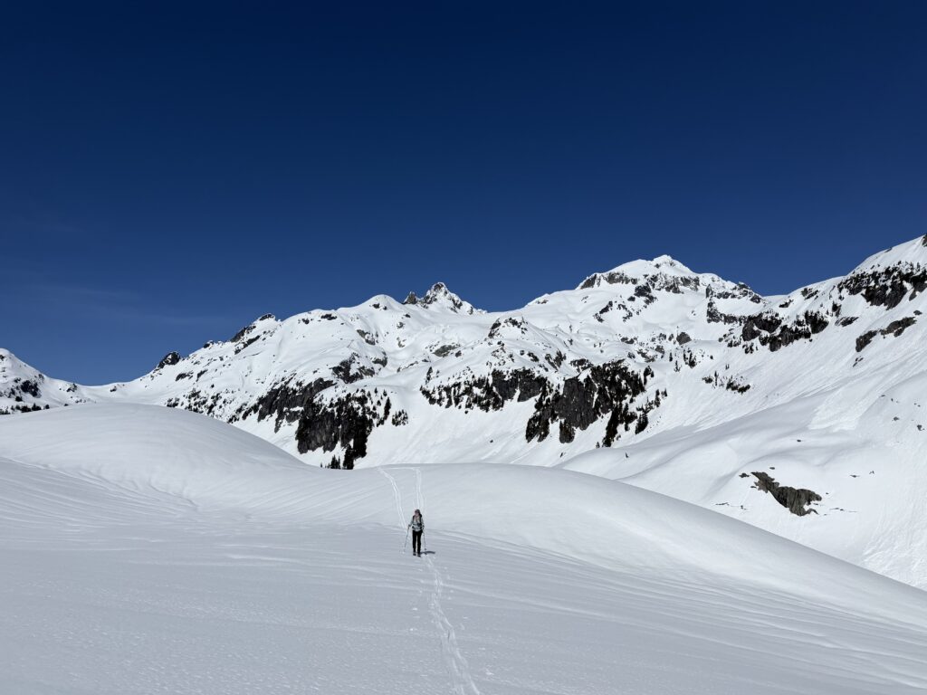
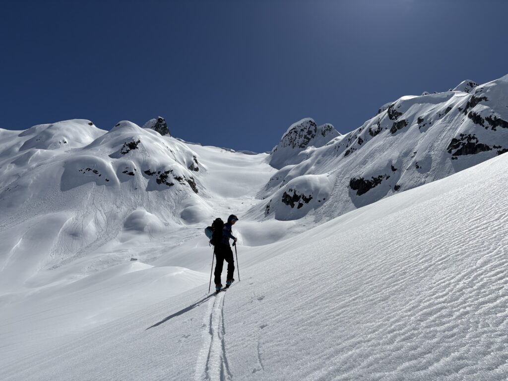
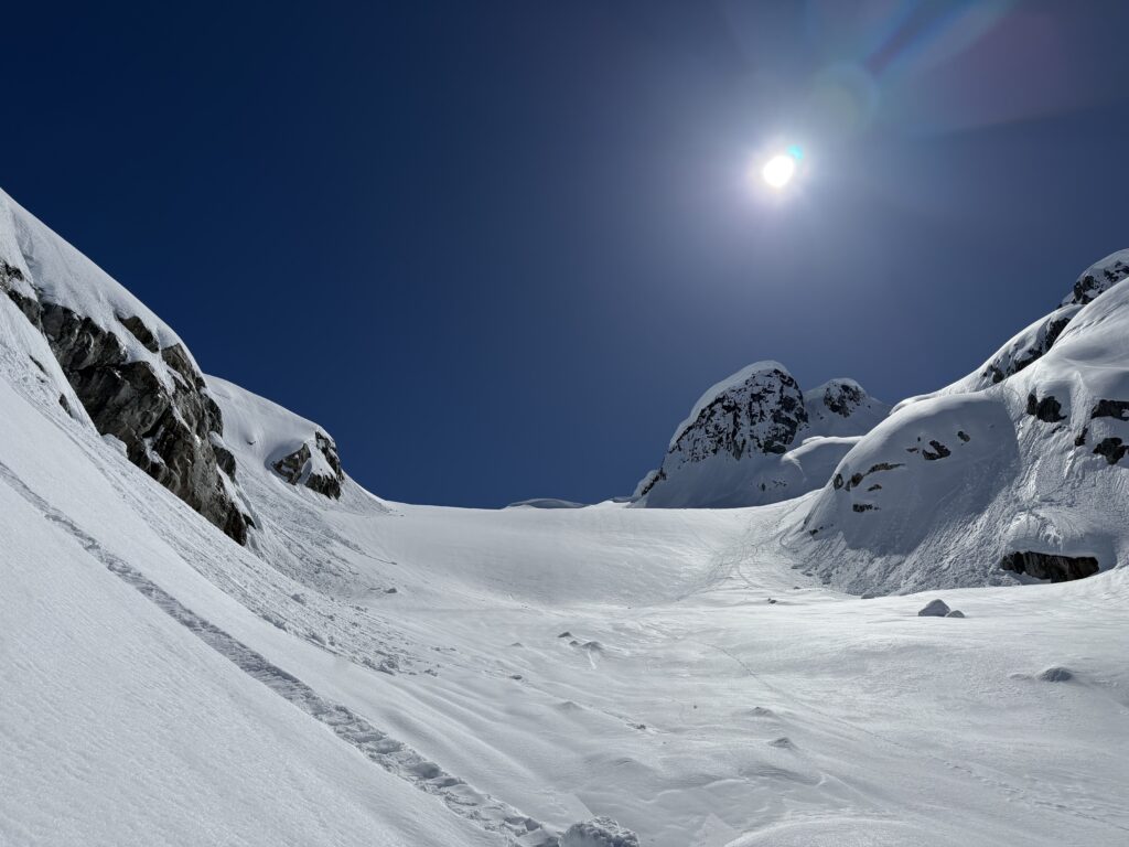
The glacier was a bit deceptive in nature as the climb seemed to last ages. Eventually we crested over the final steep roll and followed the last section of ridge to the summit. We arrived under blue sunny skies and mountains as far as the eye could see. This particular vantage offered some unrivalled views of the Pitt River area and some of the more obscure summits in the range including Bucklin and Mount Pitt.
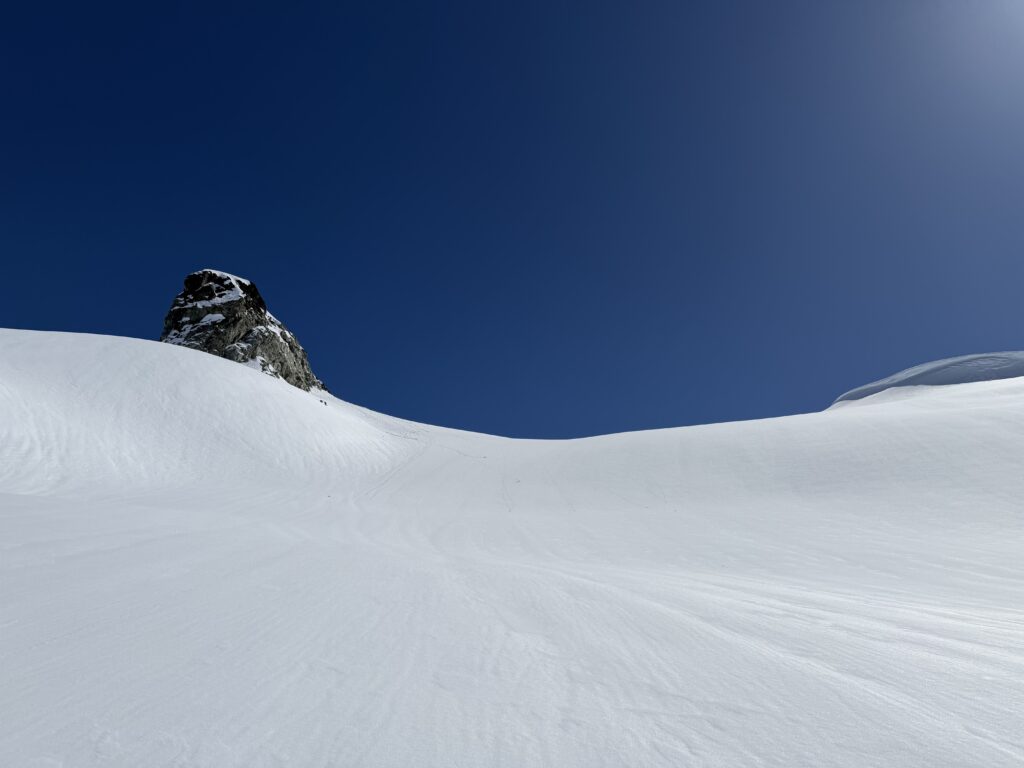

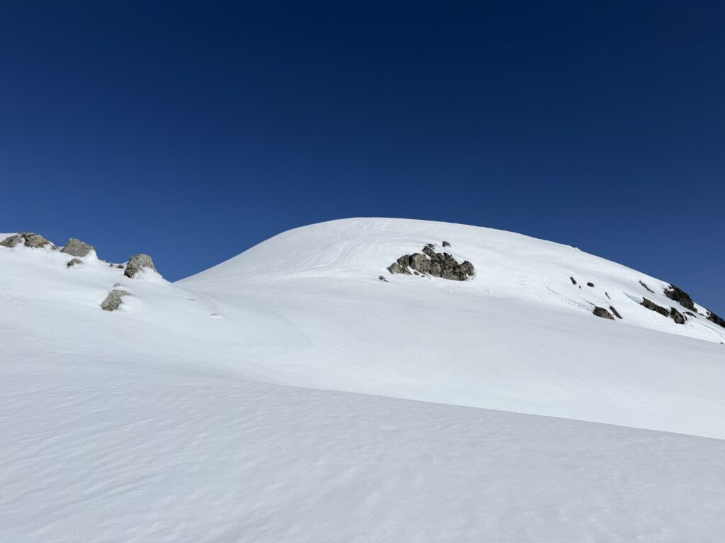
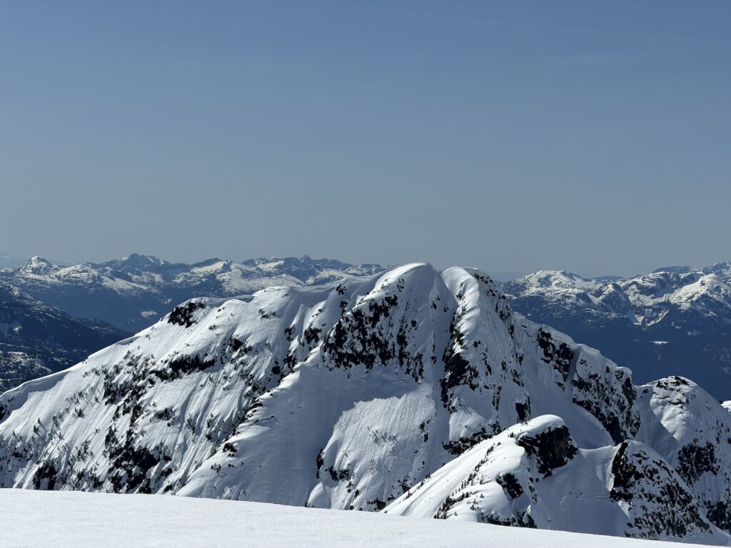
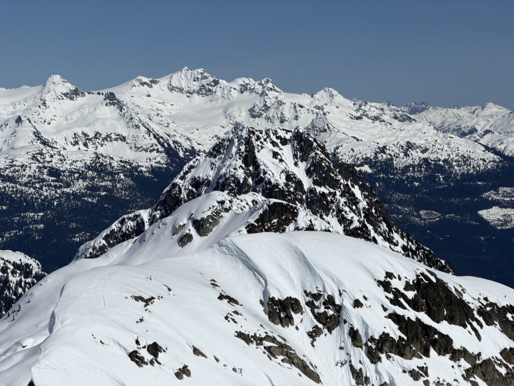
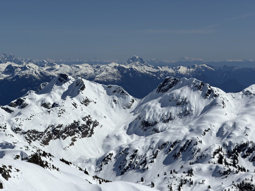
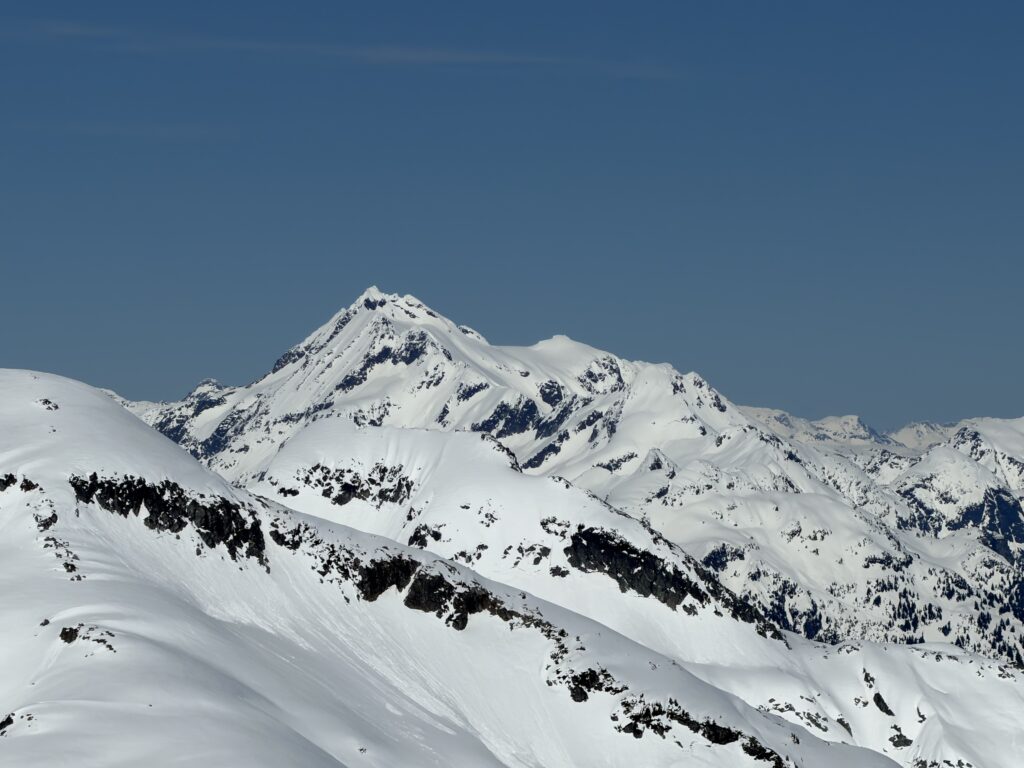
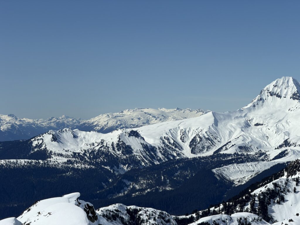
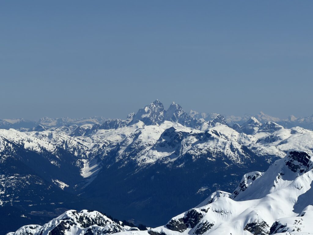

Satisfied with our surveillance of the area, it was time for the next best part… a long ski descent! There was one catch. The mid section of the glacier was a horrible crust and indeed I fell 3 times on the descent. Andrea somehow stayed below the weight threshold to punch through and made several graceful turns down. I was not so lucky. The lower section of the glacier turned to corn however and that made up for it all.
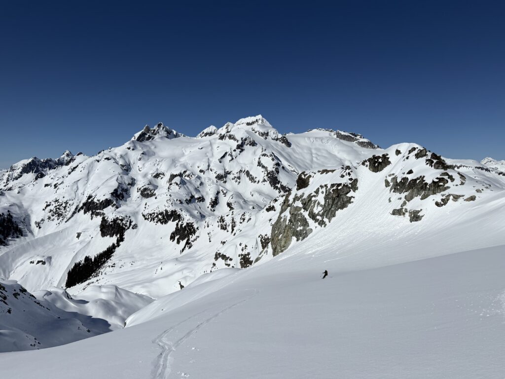
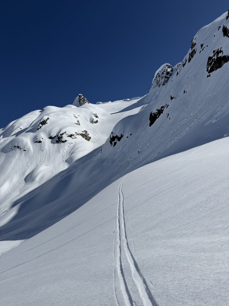
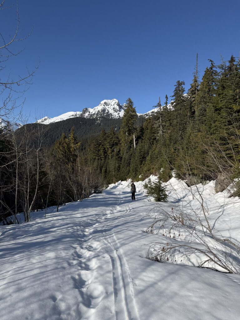
We were able to ski all the way down the valley, albeit with some bushwhacking sections before having to skin up the last slope at the end. Then it was another lovely ski down the road to conclude the day.
This is a must do summit on skis if you can time the snow pack.