Elevation Gain: 1,356m
Distance: 12.5km
Total Time: 8 hours 34 minutes
Date: May 13th, 2025
Includes stats for Clandestine Peak and Wiretap Peak
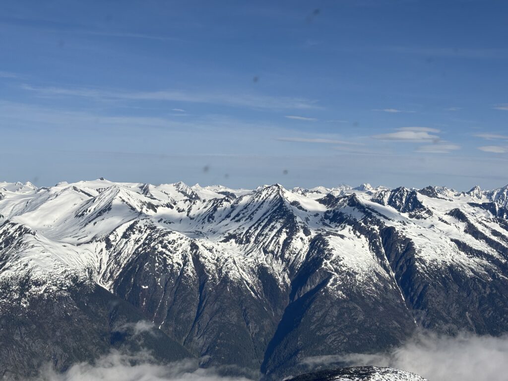
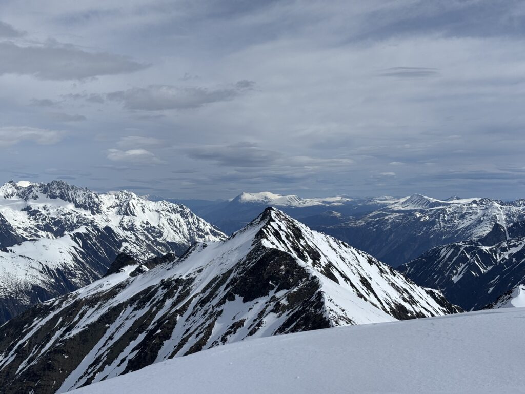
After Andrea and I’s foray into the Pantheons last year, I vowed to explore more of the coast mountains beyond SWBC. This year in particular I wanted to visit one of the main icefields and I was torn between the Homathko and Ha-Ilztuk. I finally settled on the Ha-Iltzuk when I identified a corner in the north eastern end that looked to be unclimbed. A tuning fork shaped ridge system that borders at the confluence of the North Klinaklini and Klinaklini Rivers. I carefully mapped out all documented traverses in the area and could find none that cut through this zone. Now, the area is not completely unexplored as Bella Coola Heli Skiing has several established ski runs nearby, but high paying clients are likely more concerned with catching powder than adding hours to the day climbing up peaks.
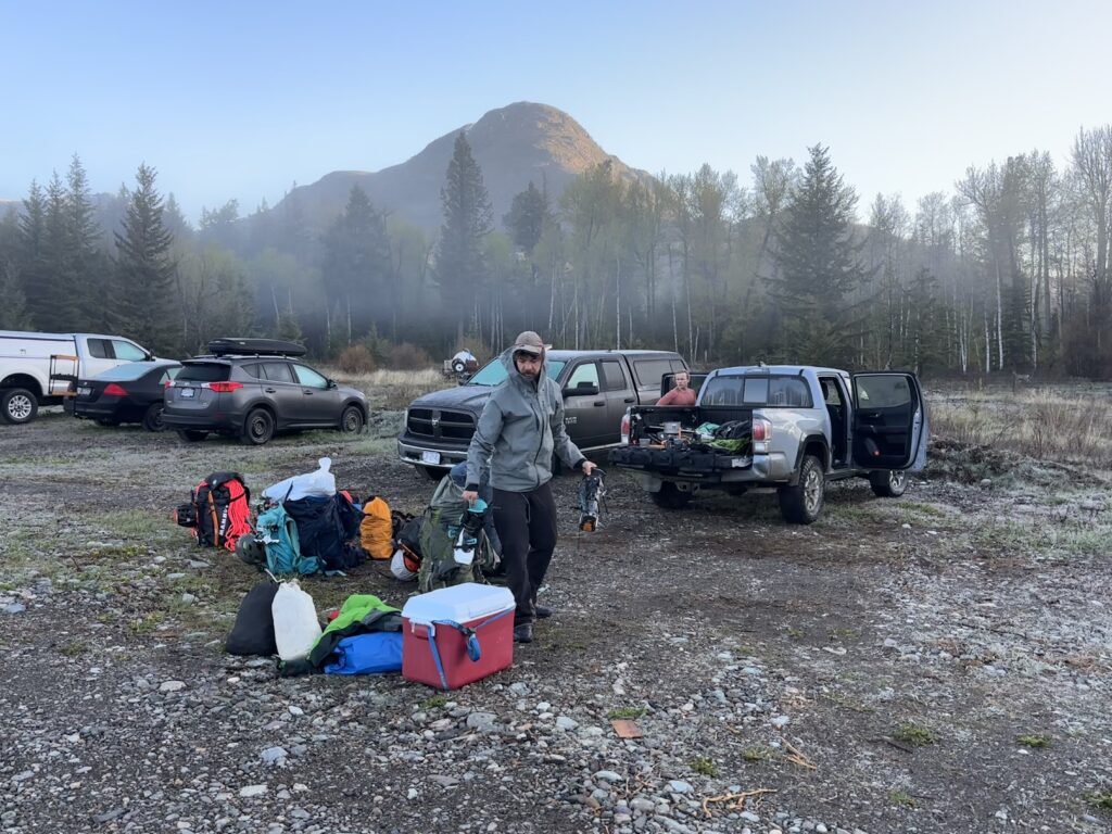
Once I had honed in on this area I decided to carve out 15 days to explore it and the main ice field itself. Given the remote nature of this area, I planned for a heli drop off at a high camp where the nearby summits could be ascended and then traverse onto the icefield proper. The next order of business was recruiting a group interested in potentially long days tent bound by storms and enough time to make it worthwhile. I put out a trip on the BCMC and was lucky enough to recruit Calum, Gabe and Garrick to the cause. The BCMC also graciously gave us an expedition grant to help offset the costs of the helicopter and this trip would not be possible without their support both in terms of expertise and ease in finding people to do such trips.
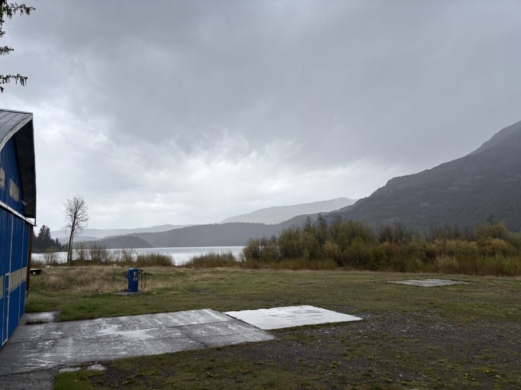
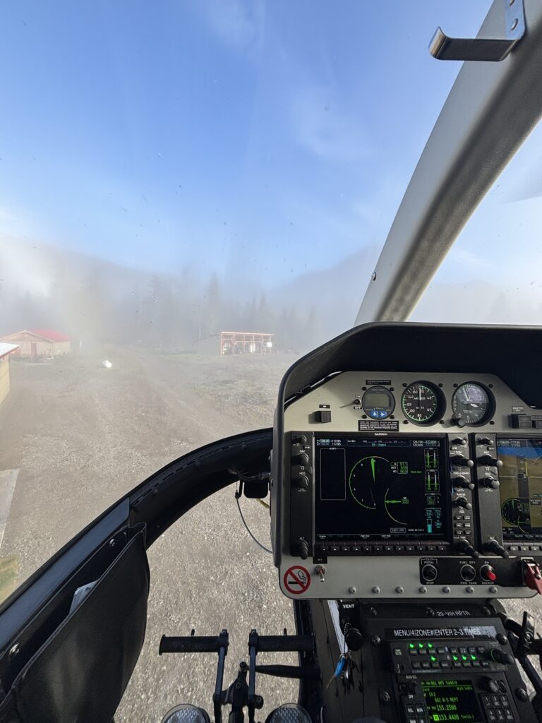
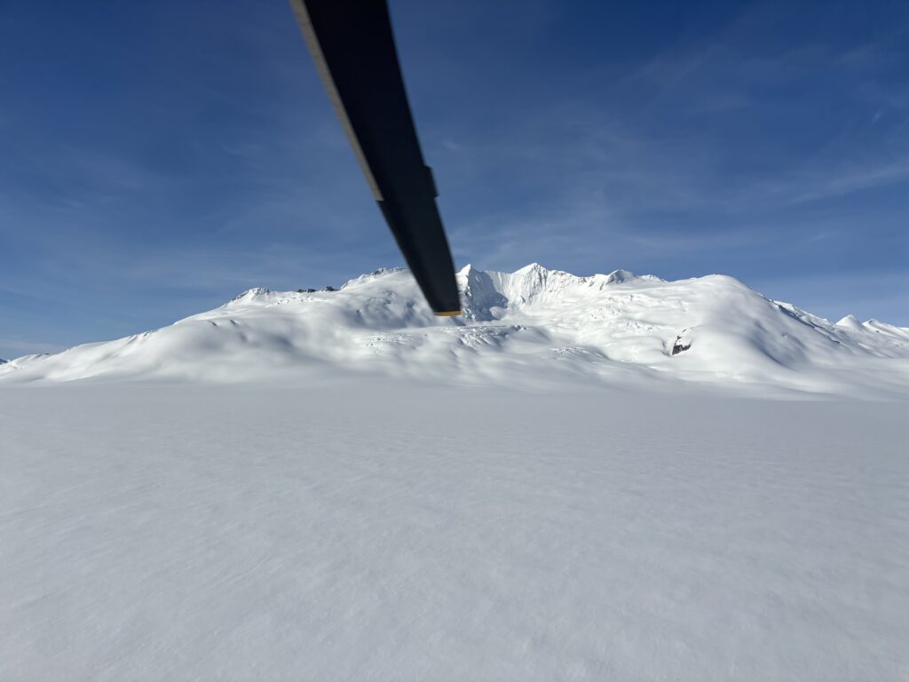
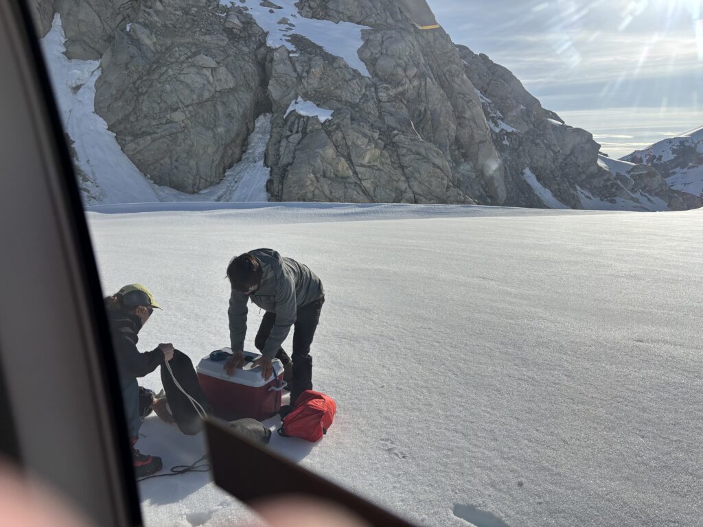
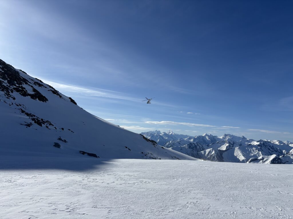
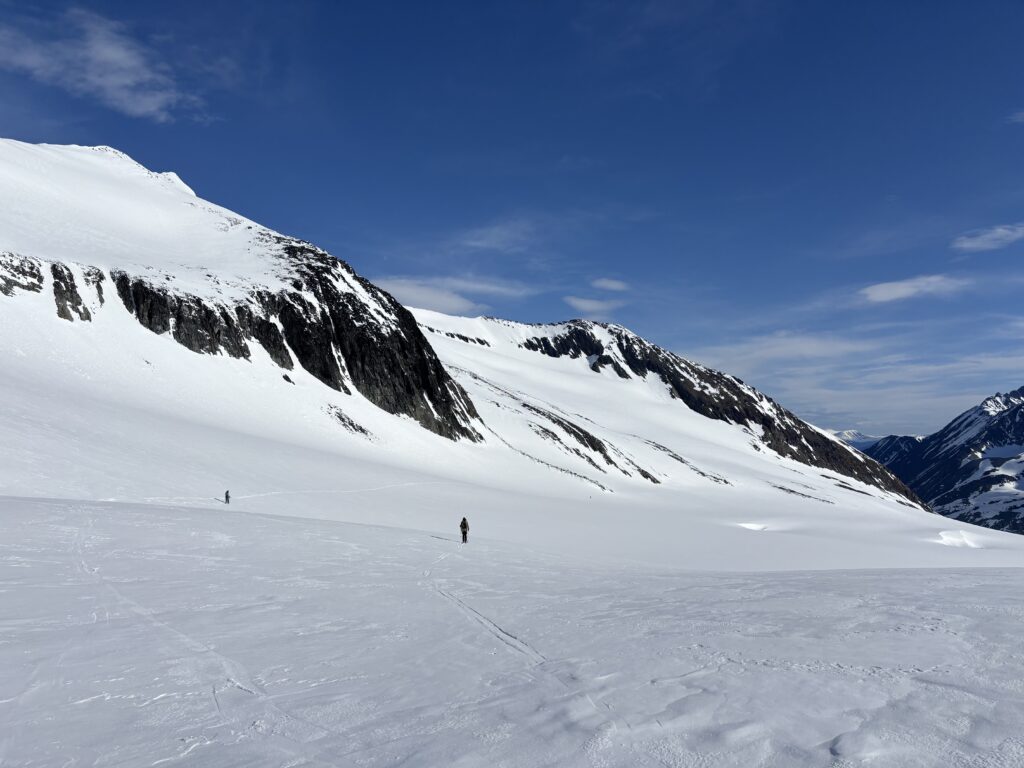
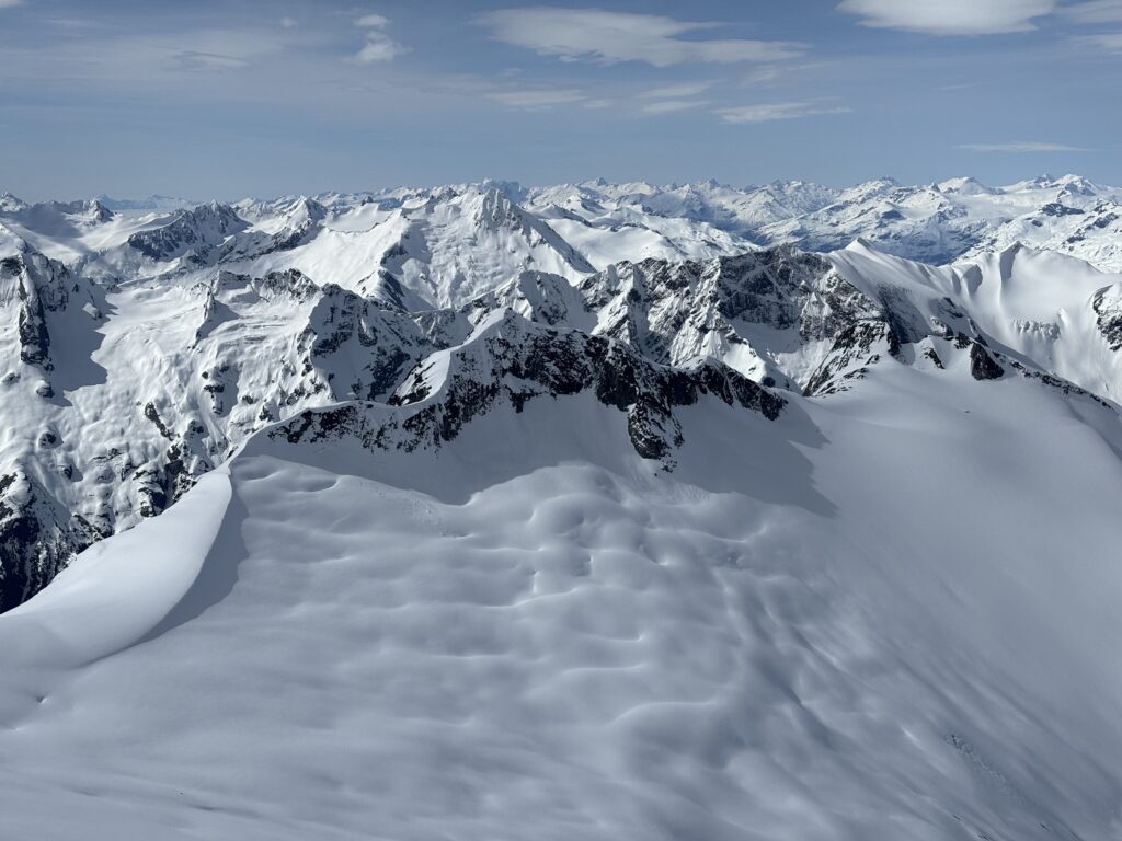
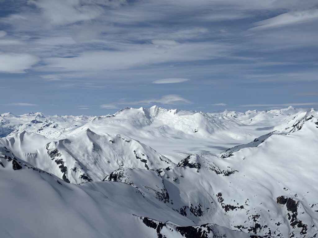
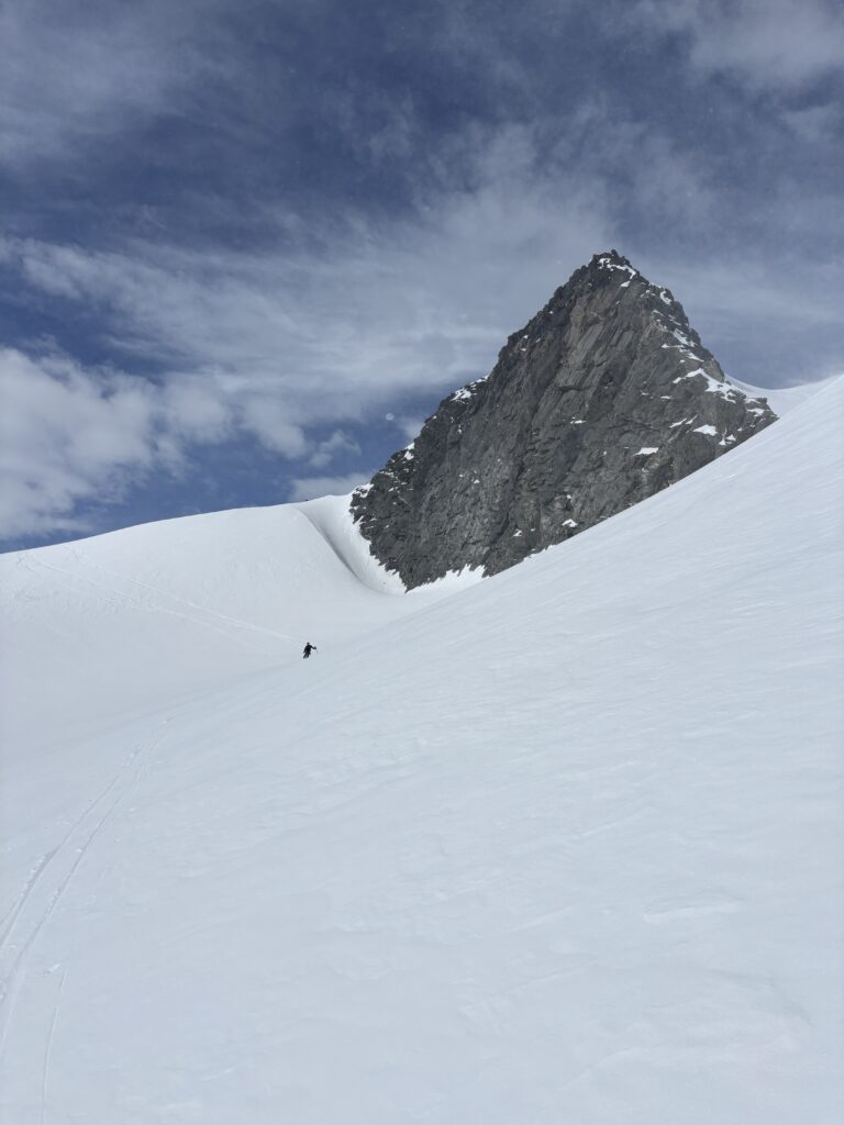
Our starting date was for May 10th, but Whitesaddle was on contract fighting fires and so we delayed one day, arriving the night of the 10th to fly out as soon as weather would allow. After two days of pouring rain and mixed clouds we took flight on the morning of the 13th. The forecast did not look promising, but there was at least two days of good weather ahead and so we took the chance. We dropped a food cache at the north end of the main ice field and then flew to the col of two nearby summits to setup a high camp.

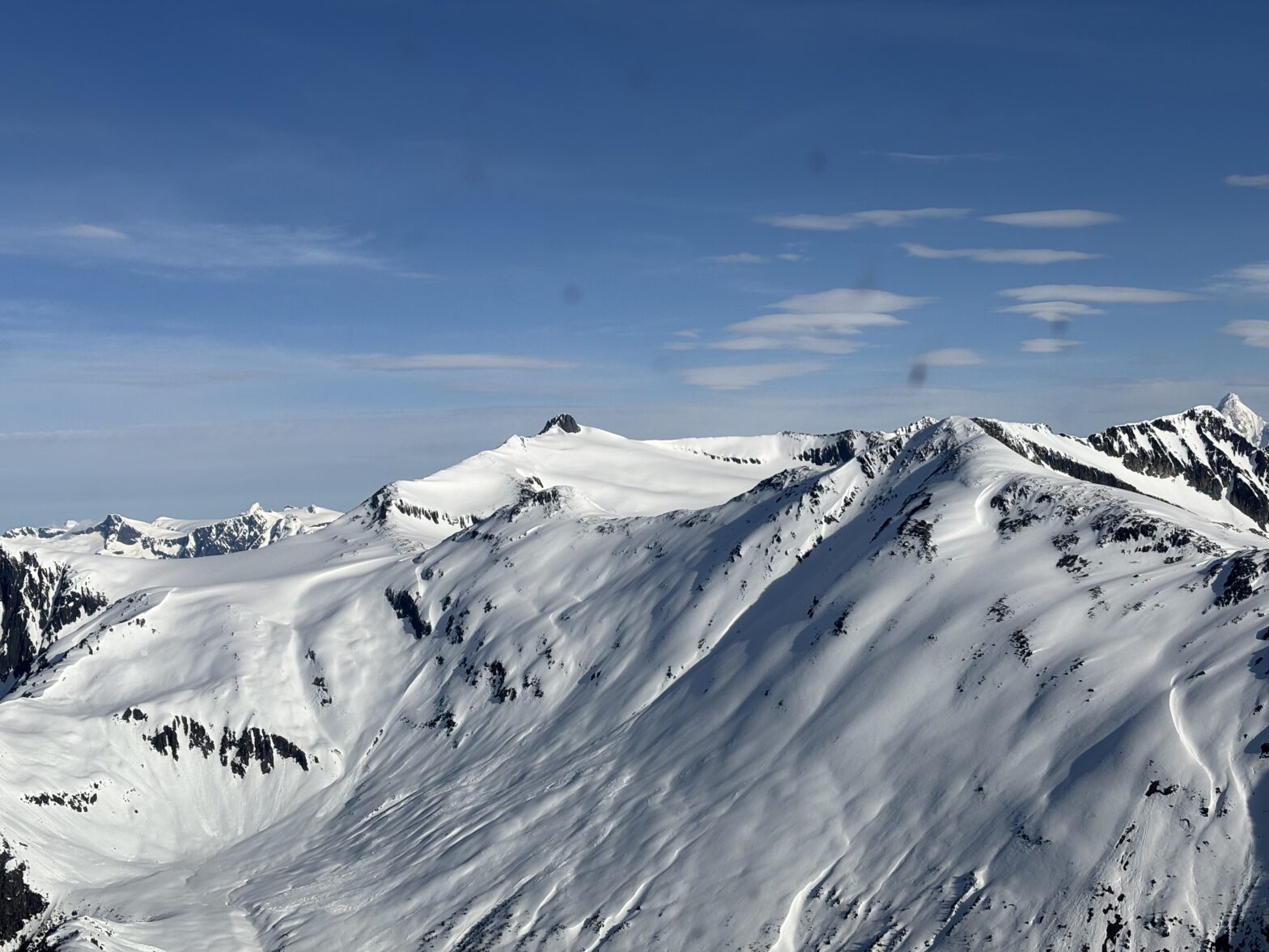
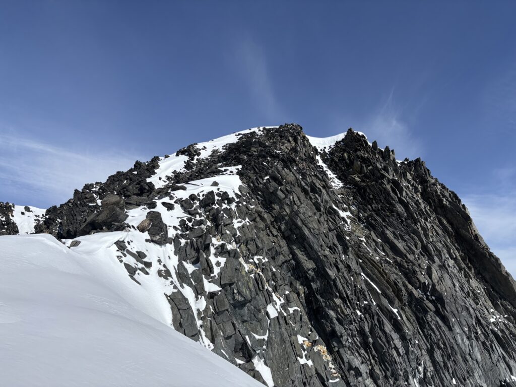
We didn’t bother setting up any tents and immediately went for the summit just north west of our camp and (barring survey inaccuracies) the tallest in this local group. The eastern slope and glacier offered the best route up and the glacier appeared very well filled in. Calum lead us down a ways from camp and then set a skin track up the east slope avoiding any tension zones where possible.
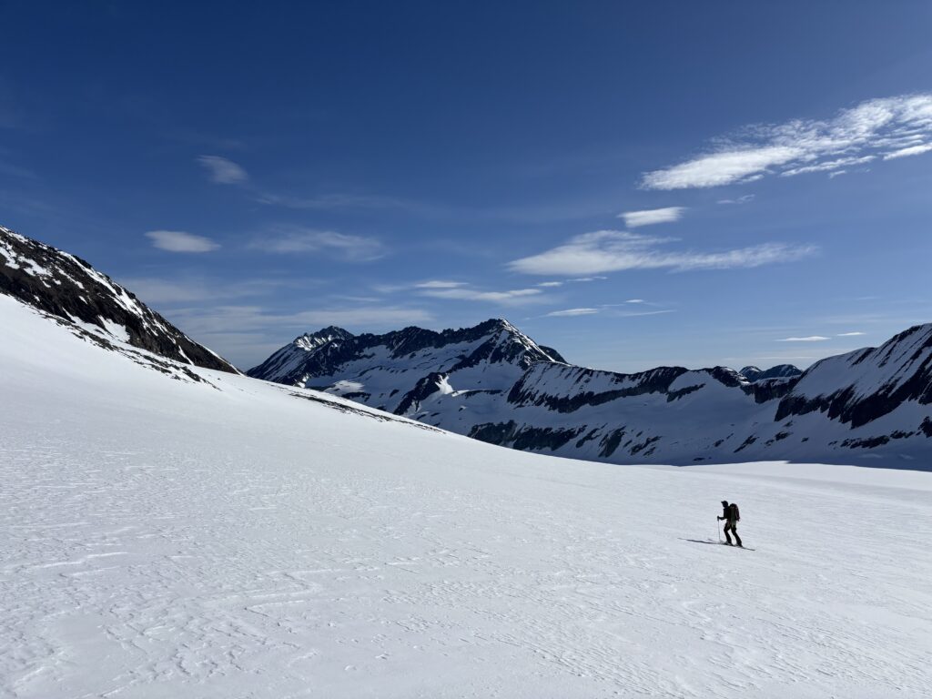
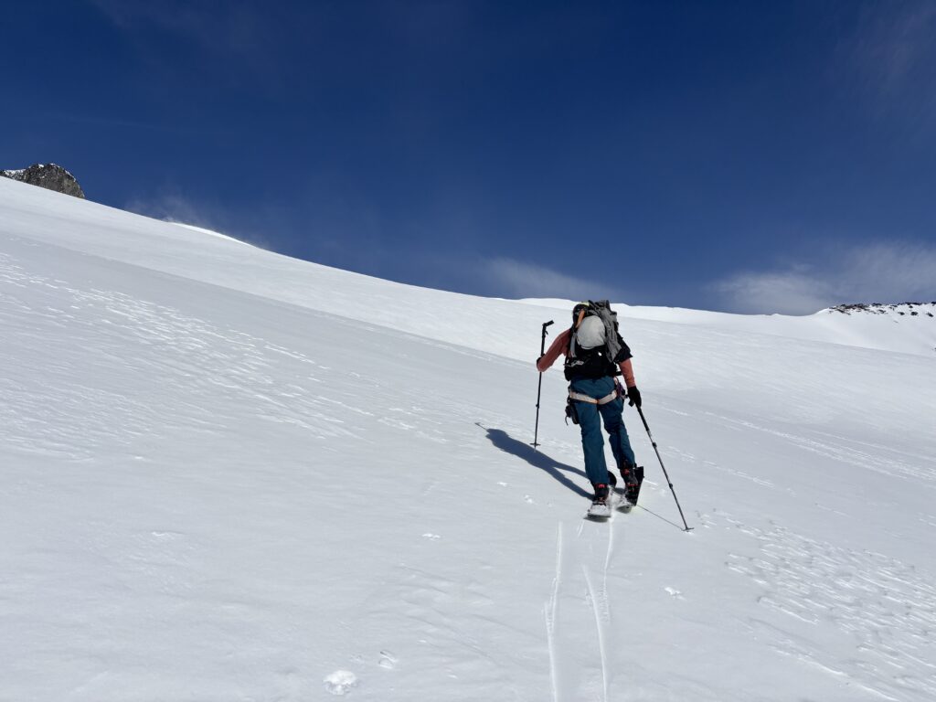
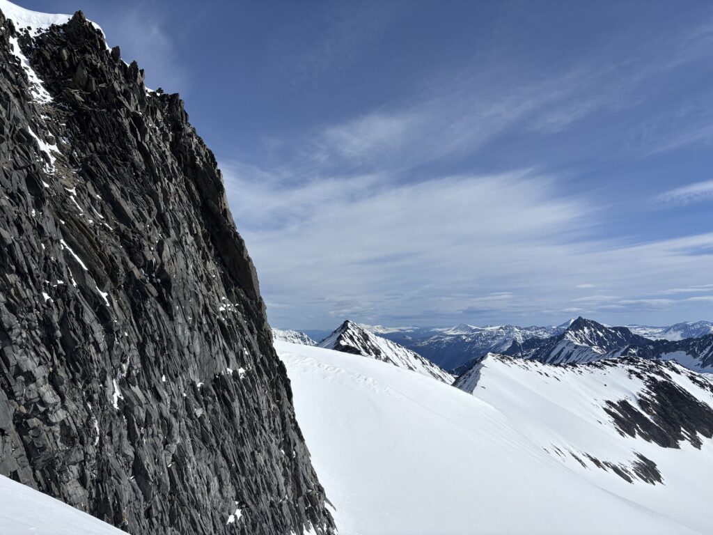
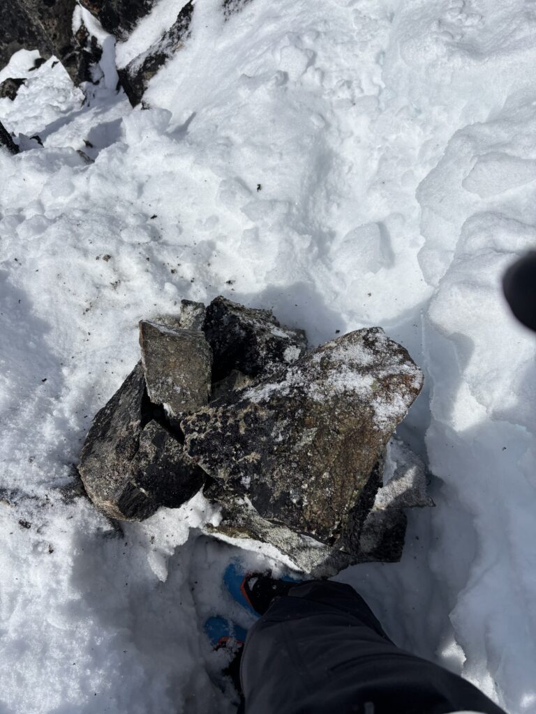
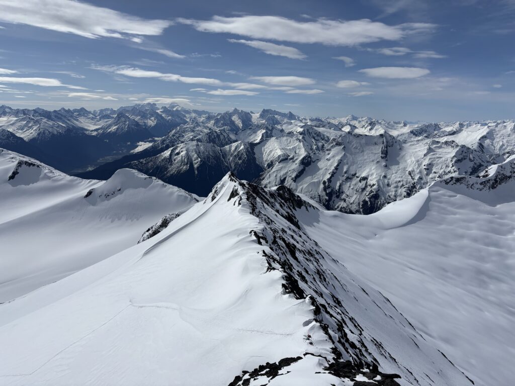
The ascent was straightforward and we traversed south across the rocky summit block to aim for the lower angle south ridge. A few hundred meters from the summit block stood two heli skiing stateks. A sure sign we weren’t the first in the area. We scrambled up loose rock to the summit without any difficulties from there. There were no signs of a previous ascent, so we dug around for the high point and placed a cairn and summit register.
This marked the first summit of our trip and while it would take awhile to come up with a name we eventually settled on the espionage theme. If only because it’s not been used yet and it offers a variety of interesting naming options. I say this with the caveat that there may already be names out there for these peaks, undocumented or otherwise. Similarly, they may have already been climbed too. However, I’ve done a fair amount of research including consulting every Canadian Alpine Journal from 1907 to 2024, every BC Mountaineer Journal, every VOC Journal and the American Alpine Journal. Finally I consulted with John Baldwin and Glenn Woodsworth to see if they were aware of any ascents in this area. All results came up empty. As this peak and the others we’d go on to climb were not technical in nature, the question arises if we can call this a first ascent vs. a first recorded/known ascent. Honestly, I’m not sure where I stand on this. I sort of operate under the assumption that all first ascents are first known ascents. But perhaps there’s value in the semantics of these terms. I’ll let you the reader decide, but I will settle with first ascent unless someone comes forward.
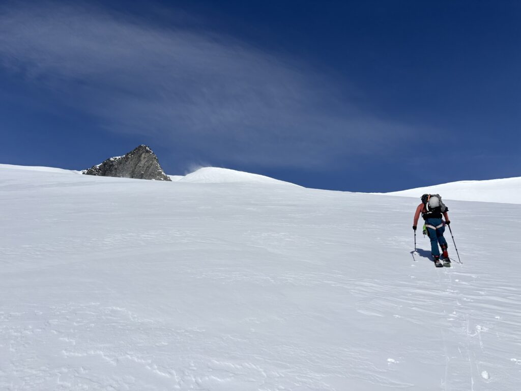
Now back to business of summits! We left the summit block and skied back across the east face to the north ridge to take on the next summit: Clandestine Peak.