Elevation Gain: 1,197m
Distance: 19.97km
Total Time: 9 hours 31 minutes
Date: November 17th, 2024
Mount Brew is an ultra popular ski touring and hiking objective just south west of Whistler. It’s in the heart of the Sea2Sky corridor, adjacent to other famous peaks like Brandywine Mountain, The Black Tusk and so many others. It’s purportedly a great early season ski touring zone and for that reason Geoff, Brayden and Andrea and myself had our eyes trained on it for the upcoming weekend. There was some concern about getting shutdown by snow on the access roads, so we set some back up plans for a Whistler slack country options as well.
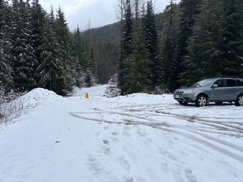
I drove Brayden and Andrea up from Vancouver and scooped Geoff up in Squamish before taking us up Chance Creek FSR. By some luck it was virtually snow free and we made all the way the drive-able end of Roe Creek FSR without any issue. That lack of snow also meant some road walking was in order, but that’s no matter. We fastened our skis to our bags and meandered up the road on foot. At the first switch back, the snow was finally deep enough to allow for skinning so we donned our skis and continued up the more overgrown R-200 branch.

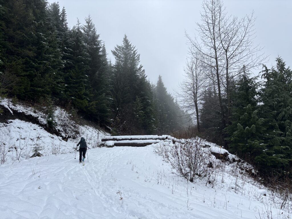
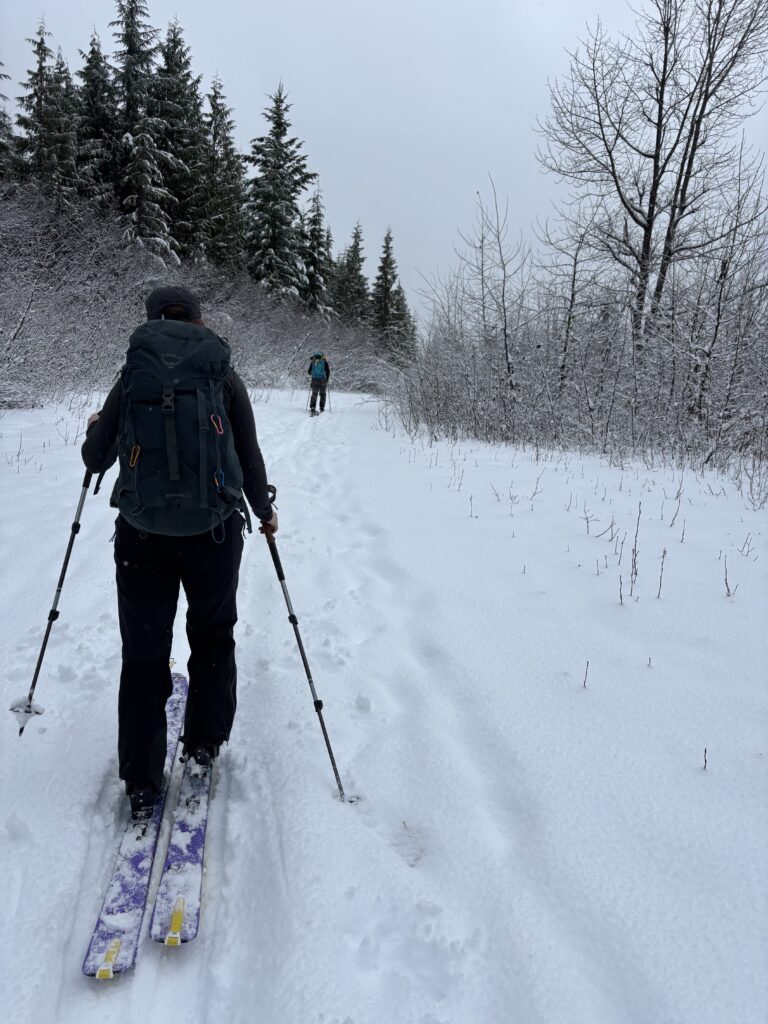
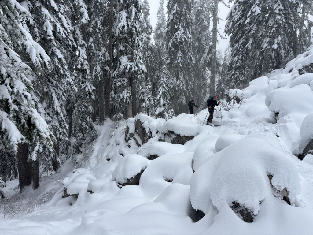
At the end of a number of different spur roads we reached the start of the trail head and followed it through a cutblock into old growth. The broken trail here was more like a steep windy ravine and I had a feeling this was going to be a pain in the ass on the return. After a short ways through the forest and some nasty open boulder fields, the trees began to gave way to open snow fields. We caught up to a duo ahead of us and now the trail breaking began in earnest.
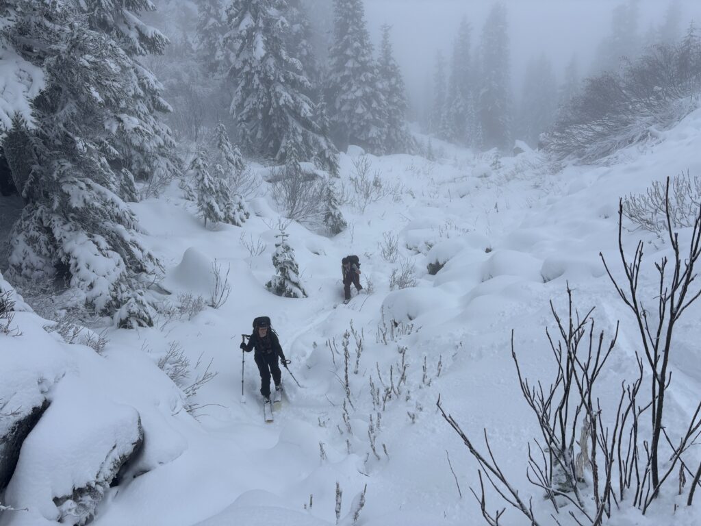
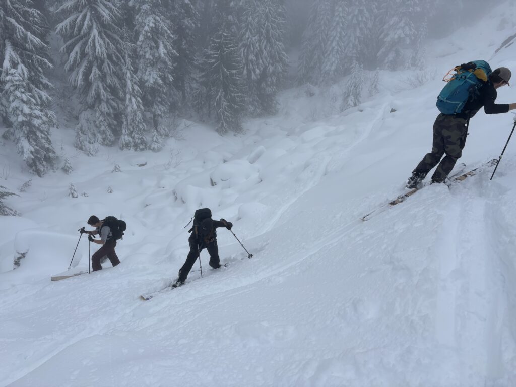
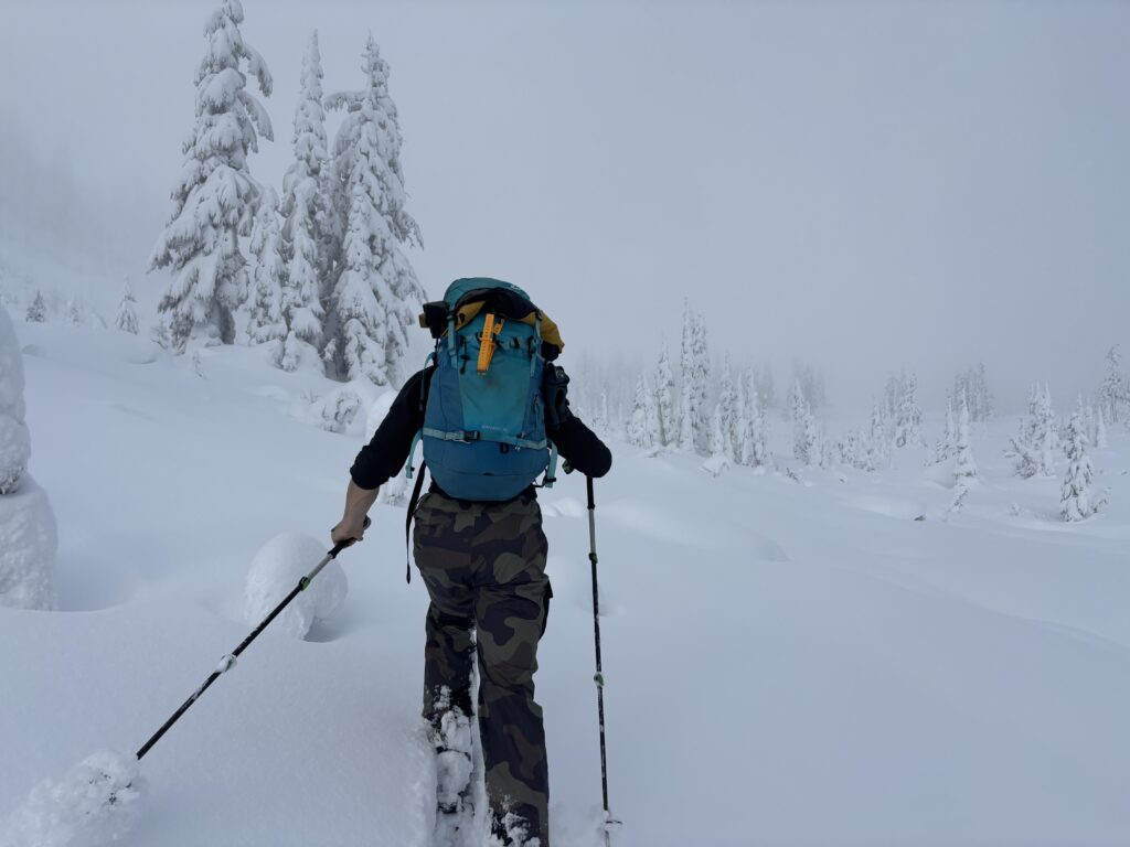
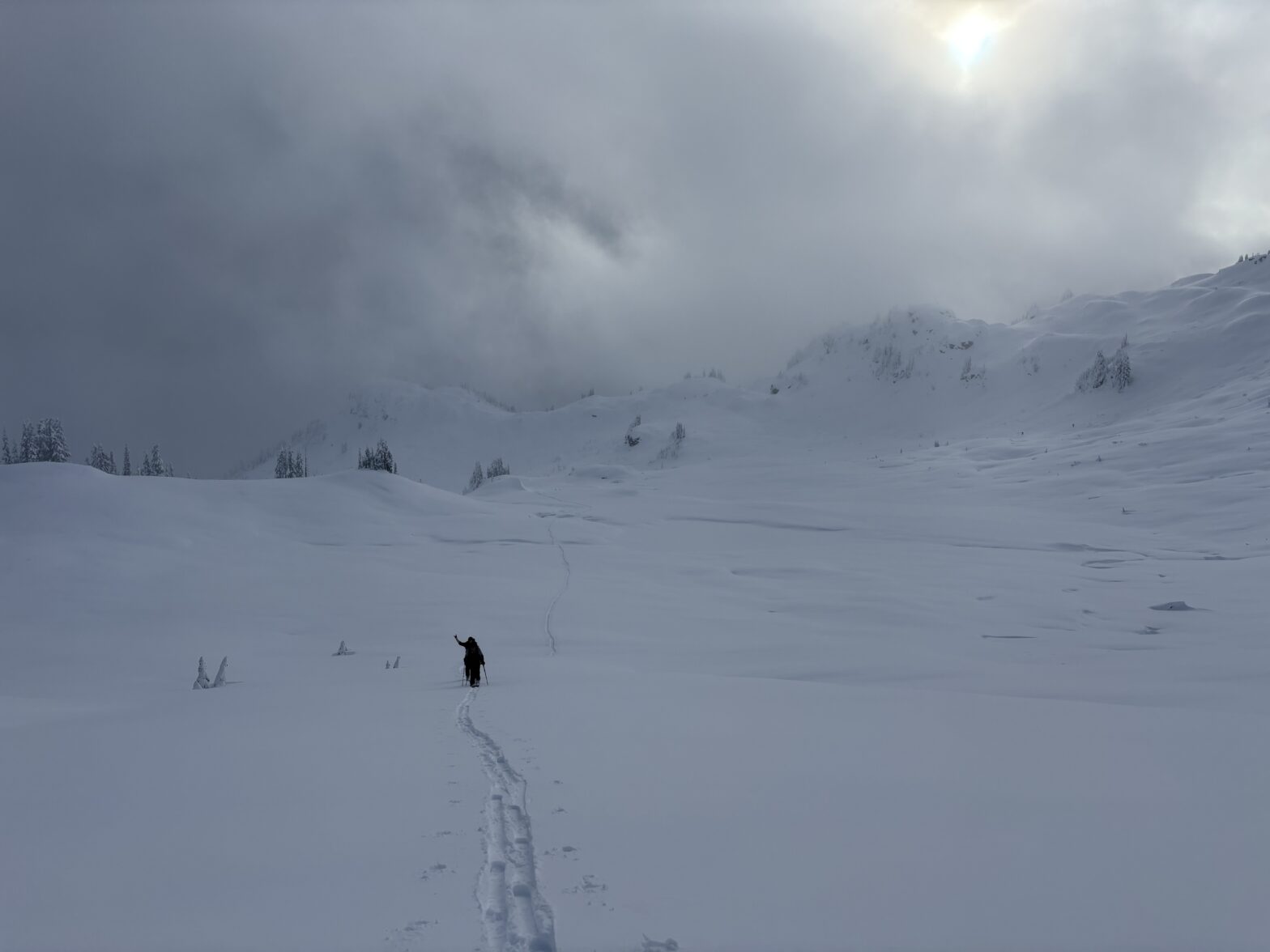
The wide open snow bowls created a gentle snowy landscape that kept my eye for the bulk of the approach. We made our own path across the expanse, aiming for a mellow opening in the ridge on the north west side of the Brew Hut. From there we skinned up and past the hut towards the final summit block. This last section proved to be the steepest, but it was well protected by dense trees and we ascended without issue.
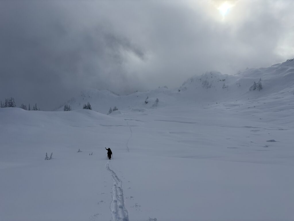
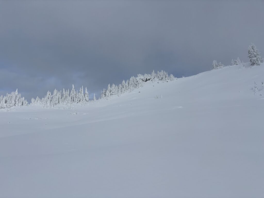
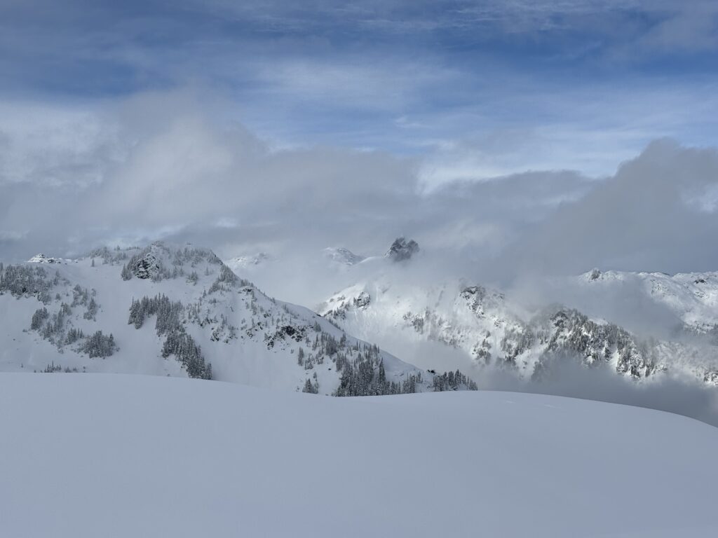
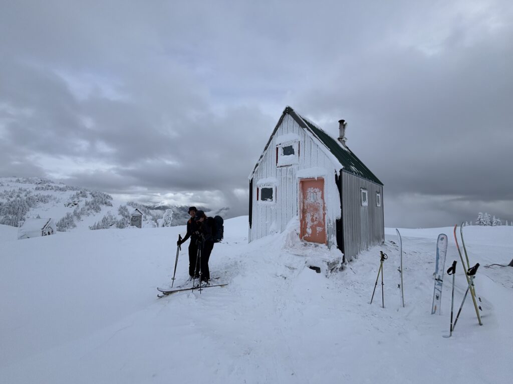
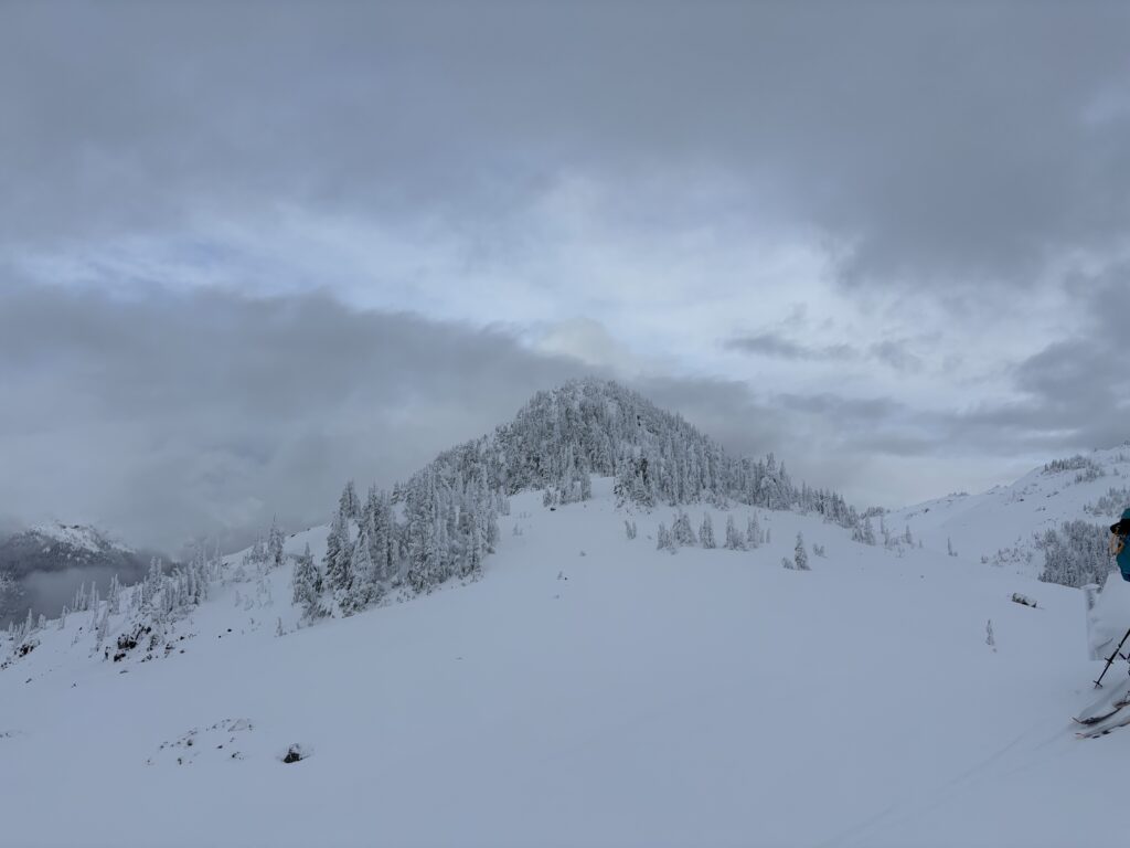
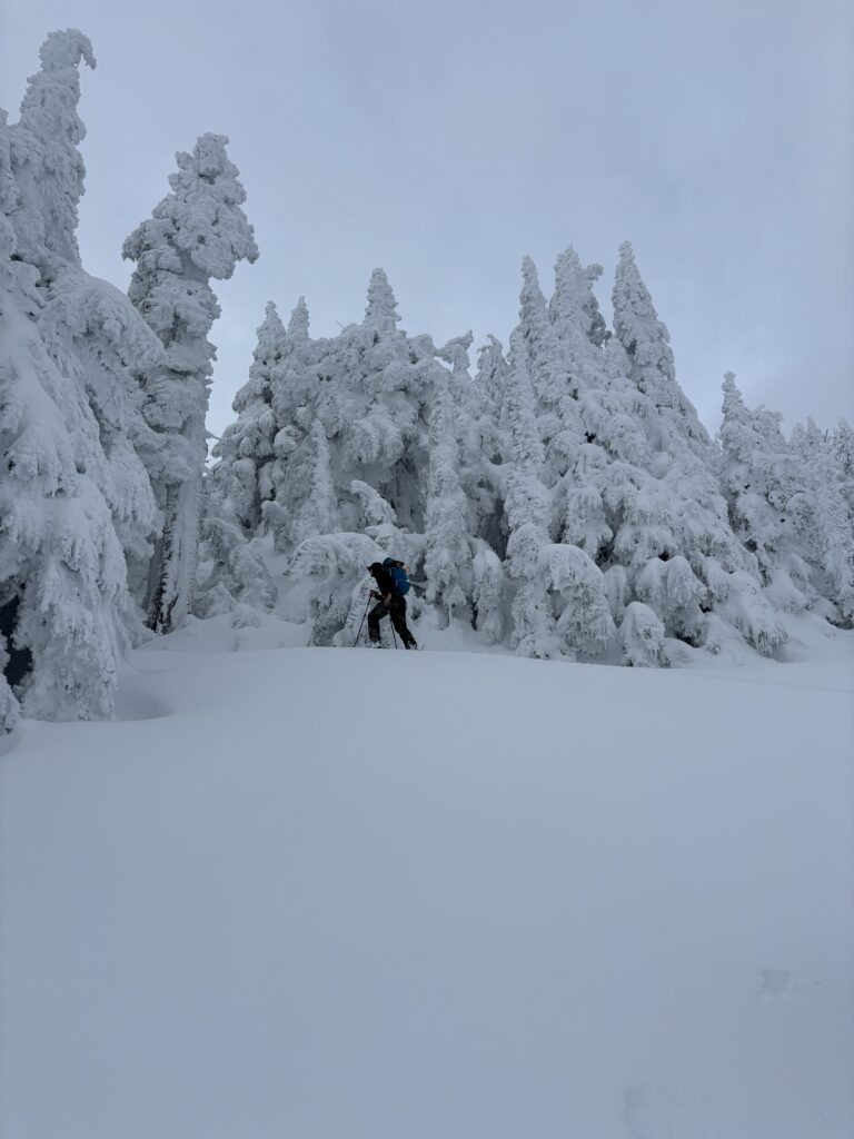
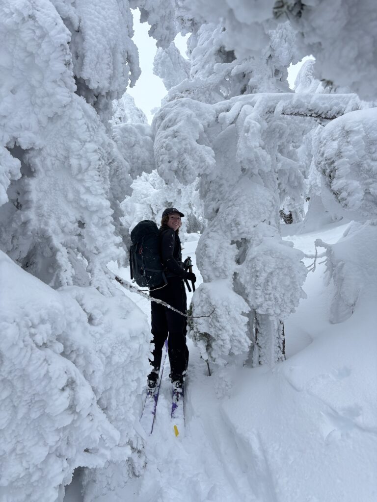
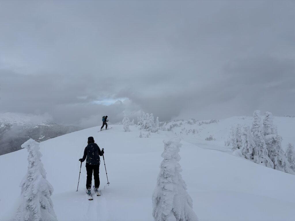
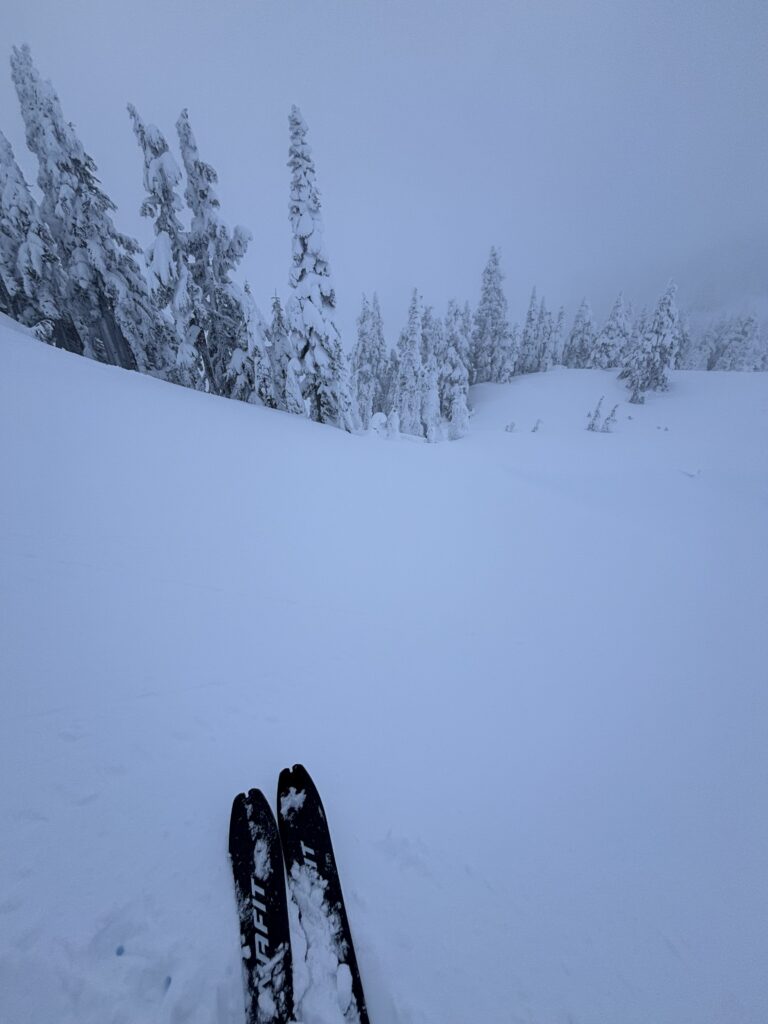
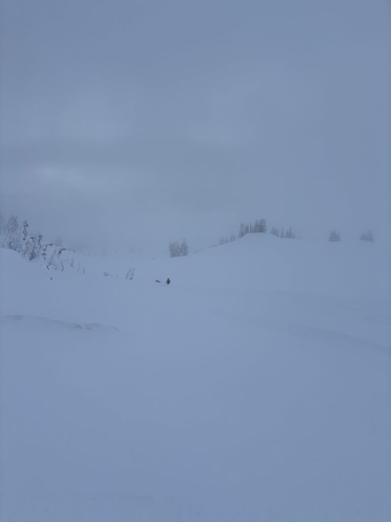
Now 2 o’clock, we spent only a short time on the summit as sunset was a mere 2 and half hours away. The ski off the summit block was an awkward affair, but without incident. We skinned back past the hut and then prepared to make one long run back towards Brew Lake. Unfortunately, clouds had closed in and our visibility was diminished to a flat white veil of unsuspecting bumps and drops. With that being said, the skiing was fun for the short run we had. Once at the lake the we had a somewhat miserable return through the early season snow in the forest and the gaping maws of the boulder field on the trail.
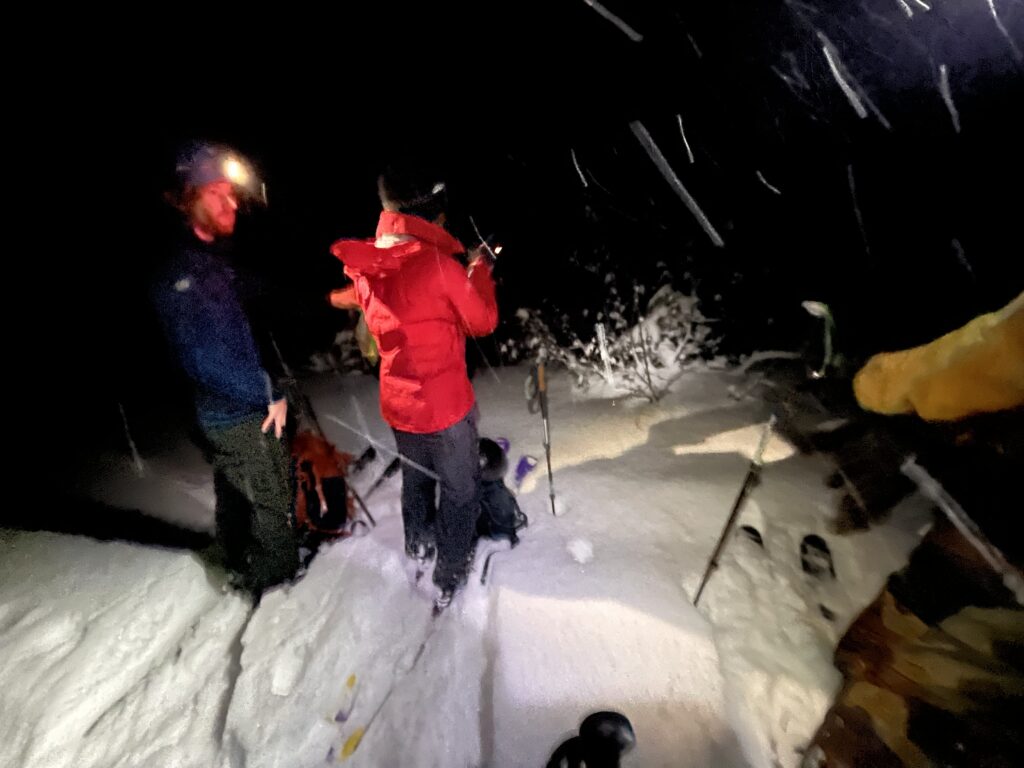
The sun set before we made it back to the trail head and the last steep section was too much for a novice like me to manage. Brayden and I resorted to post holing the remainder on foot while Andrea and Geoff more skilfully negotiated the tedious terrain. Once at the cutblock it was a long return through dozens of open water bars before hiking out the last section on foot. Certainly a type 2 return and not one I’d like to repeat all that often, but great company helps!
