Elevation Gain: 1,339m
Distance: 13.40km
Total Time: 7 hours 42 minutes
Date: September 15th, 2024
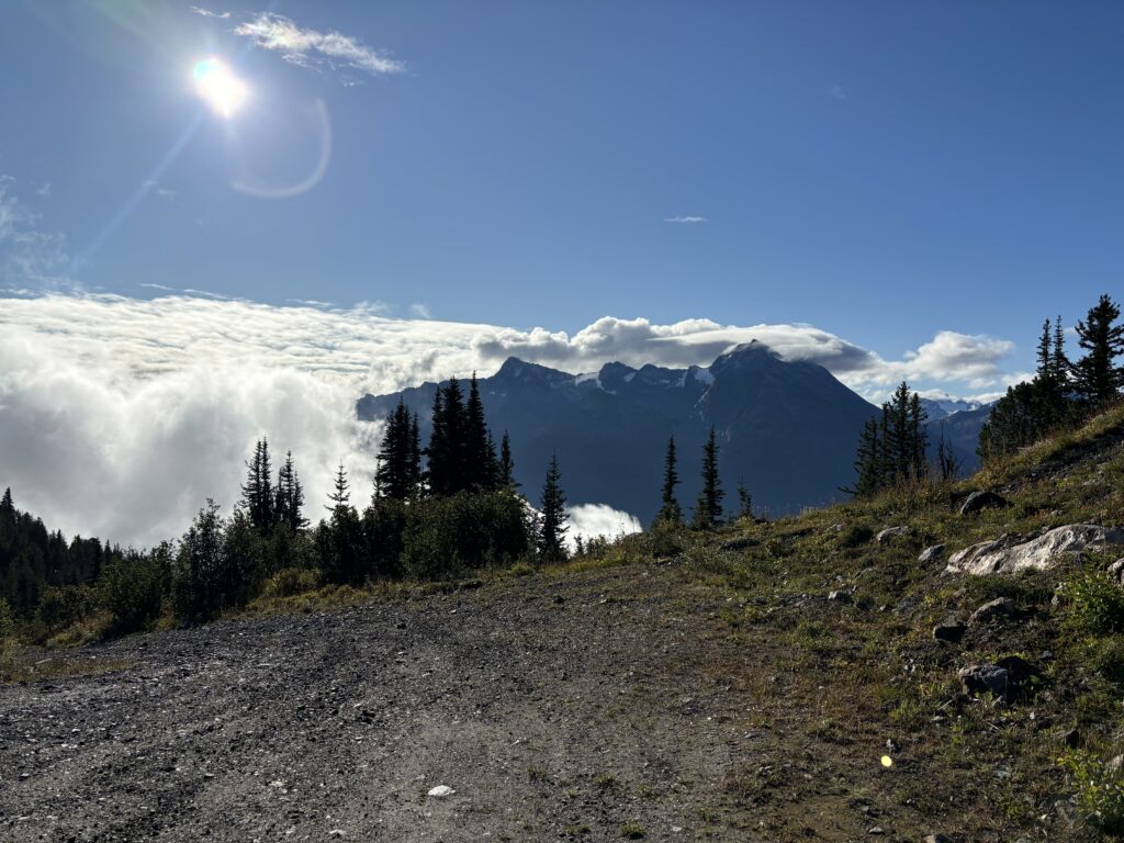
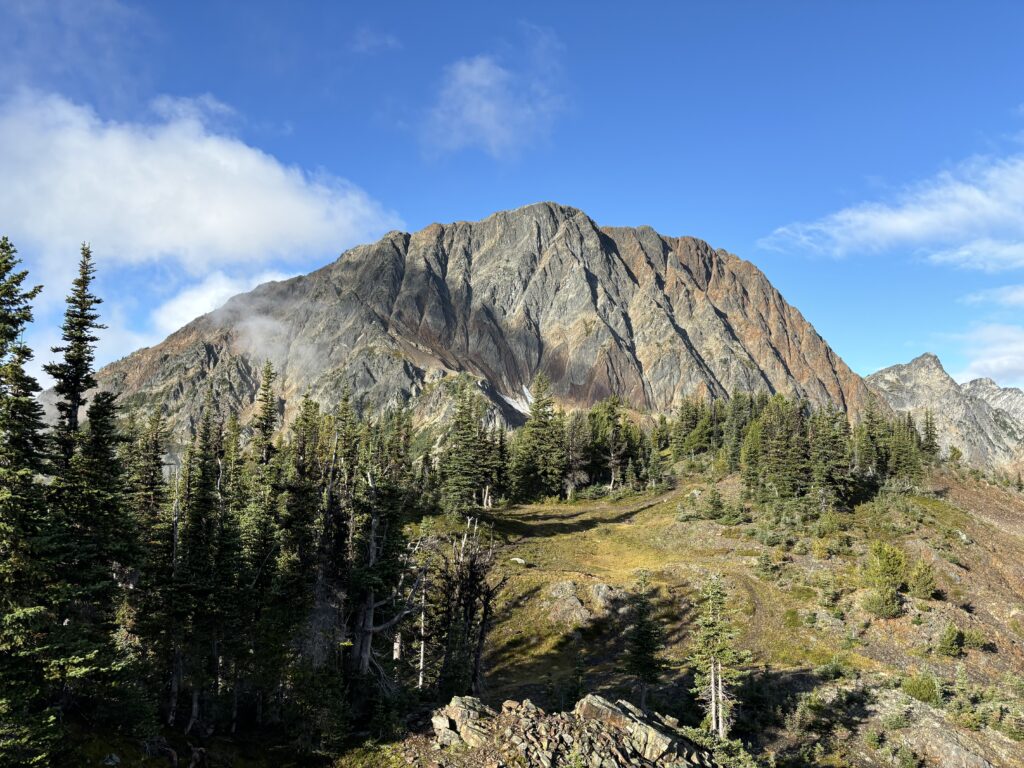
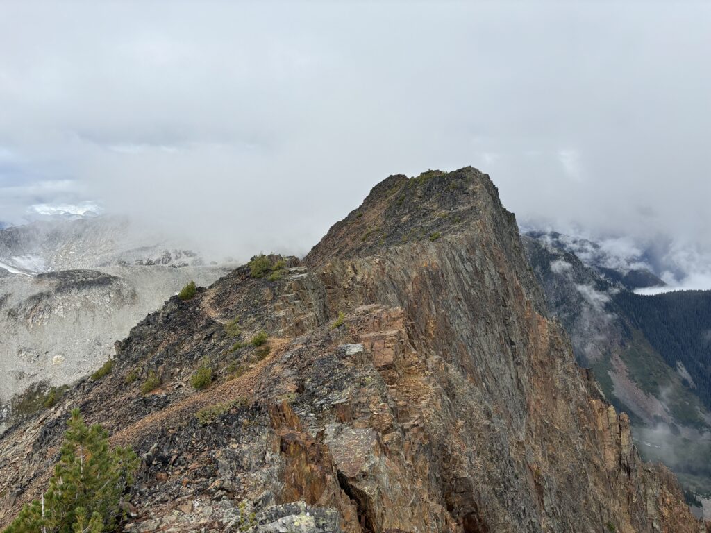
Kafir Peak is an unofficially named summit that forms part of the “Birkenhead massif”. It must be climbed in order to scramble the standard route up Birkenhead Peak. For that reason, it sees a significant amount of visitors. It just so happened that while hunting for clear weather, Alex and Trevor spotted an opening on Birkenhead Peak. Andrea, my friend Mike and myself were all down so it was set in stone. The standard route takes a long and steep service road up the north ridge of the Birkenhead massif and stops just below the northern flanks of Kafir Peak. From there, one hikes along the eastern slopes of Kafir and then up and over the summit to reach the north and then east ridge of Birkenhead Peak.
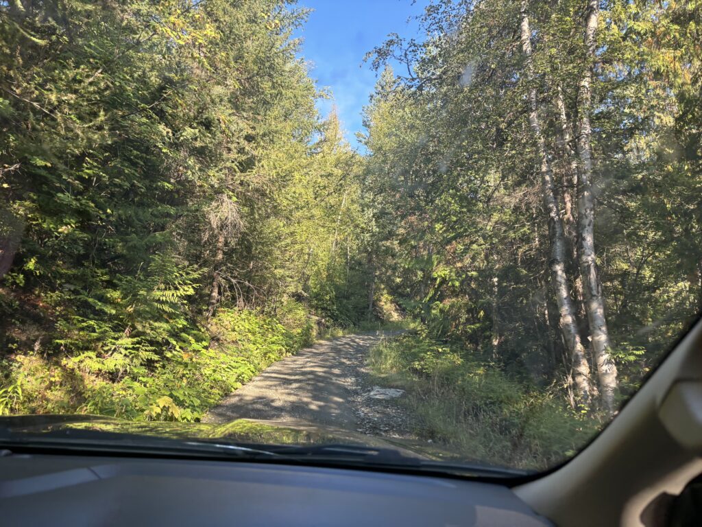
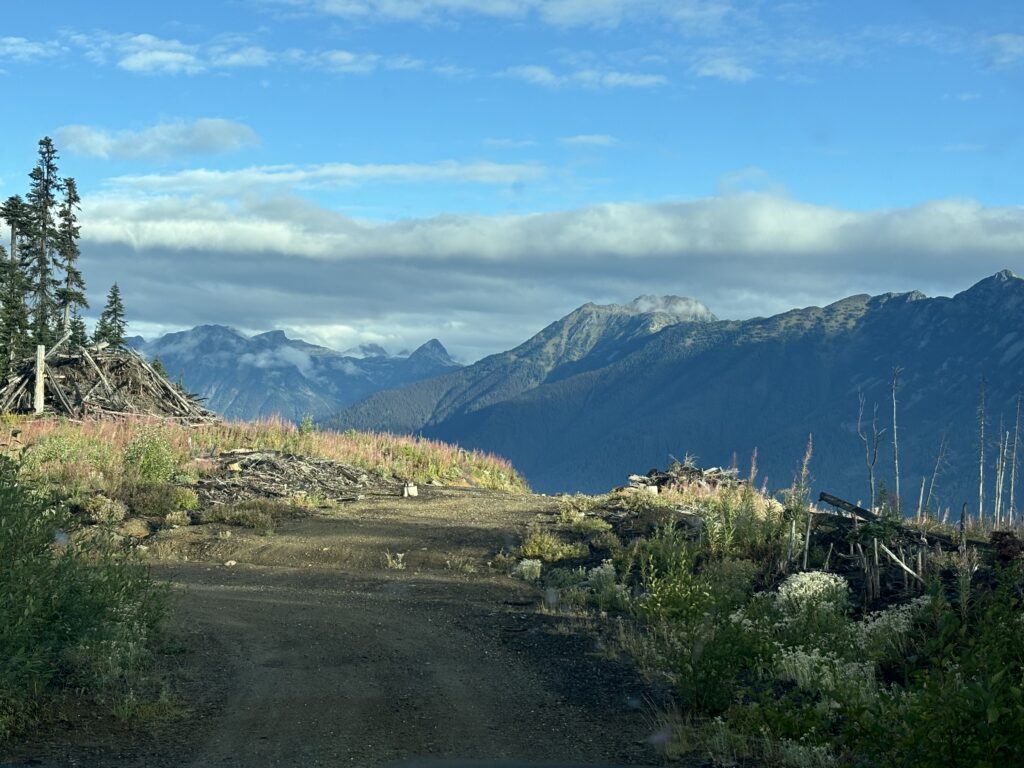
Given how steep the road is, we decided to take two vehicles and mitigate any engine overheating that we’d read so much about. We left from Vancouver around 5am and were crawling up to the end of the microwave tower road some 3 hours later. The weather was moodier than expected, but so far the sun was out in full force around Birkenhead so off we went.
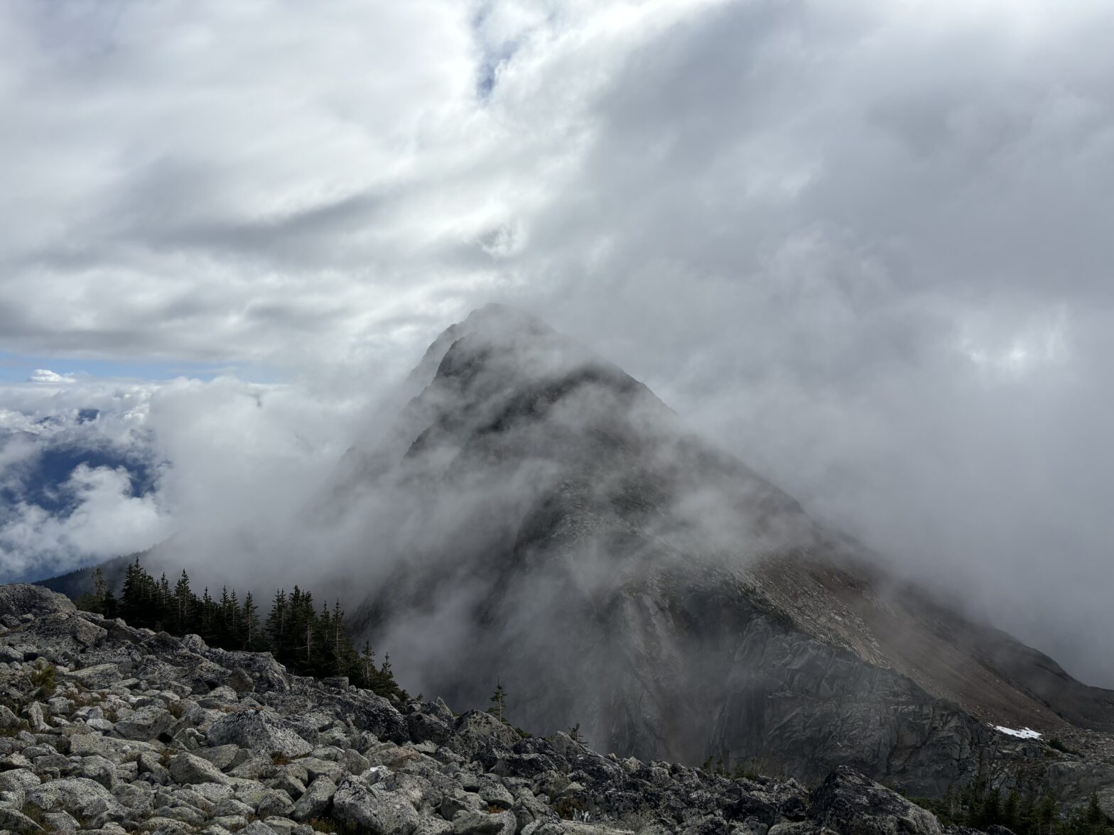
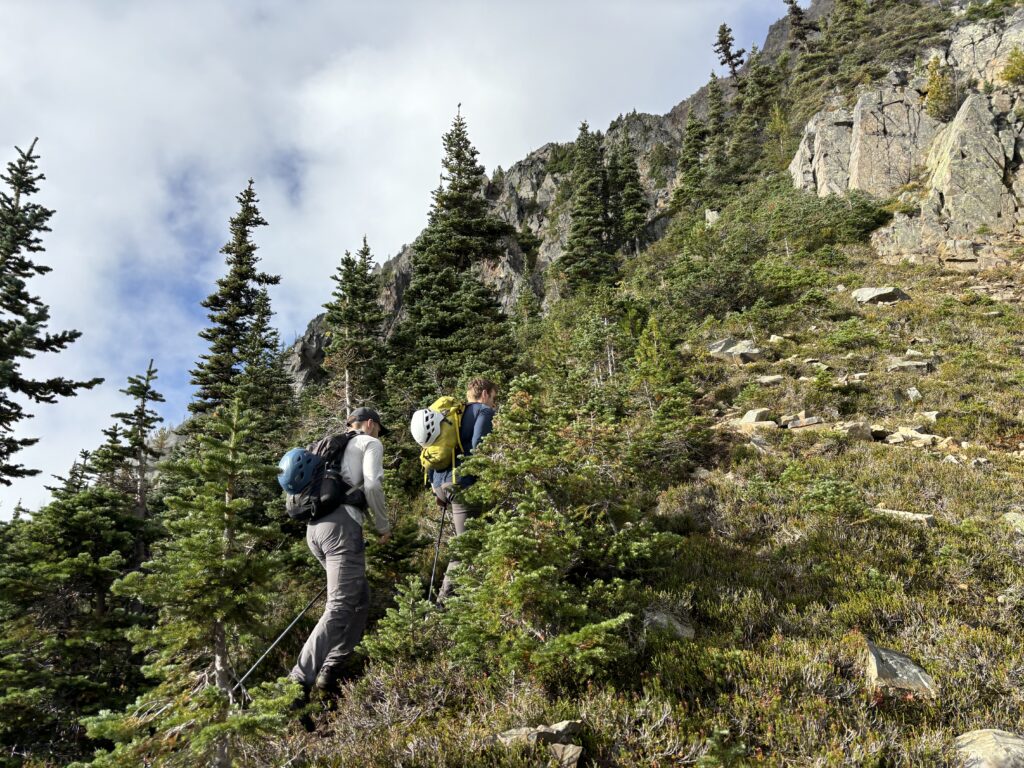
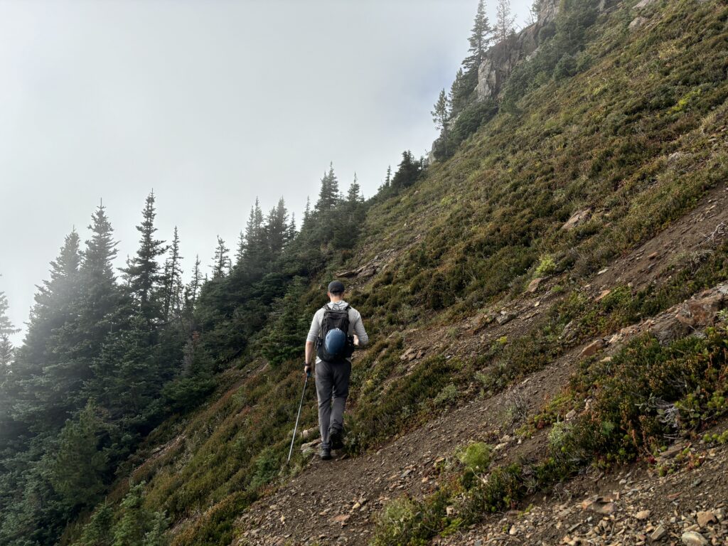
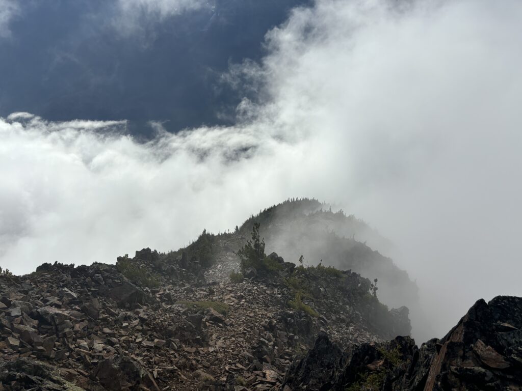
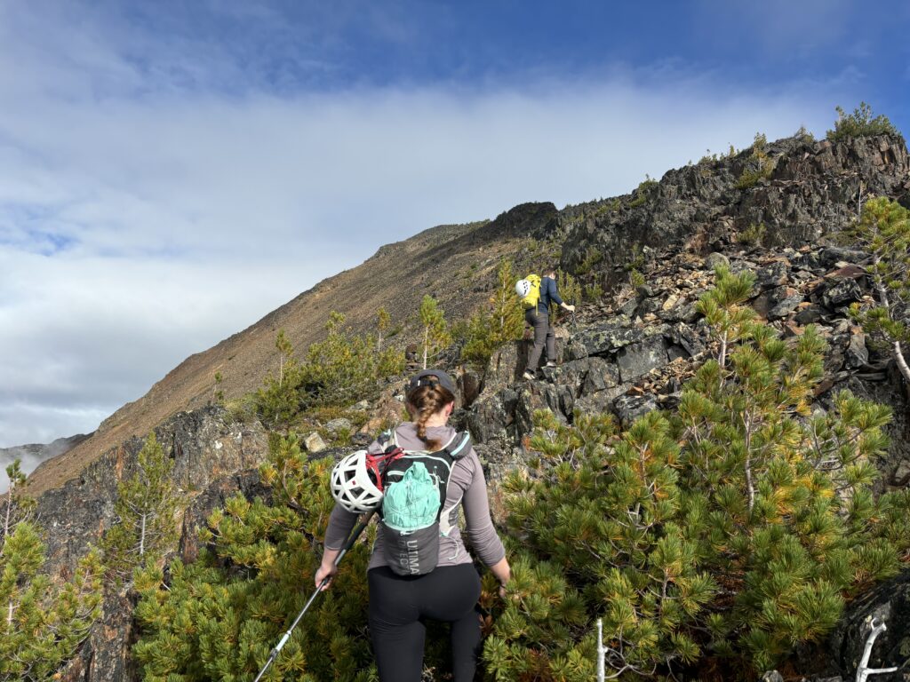
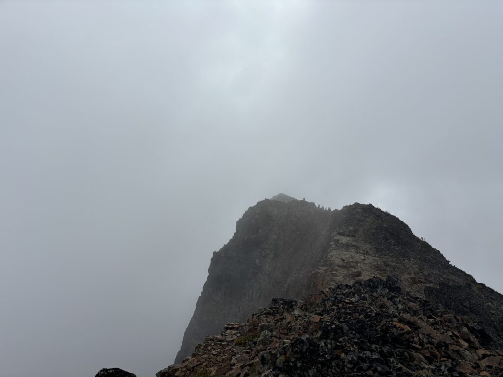
Our first order of business was traversing around the east side of Kafir Peak where a steep and loose scree slope awaited us. The well stomped out foot path made this section a breeze though and we just had a short section of third class on the ridge crest before the terrain eased off. We reached the summit of Kafir as the clouds were starting to close in. It was beginning to look like we might get shut out of our views. No matter though, the views that we did have were still great.
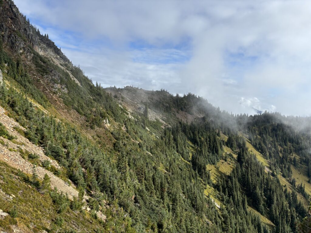
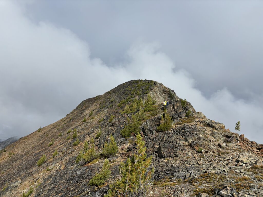
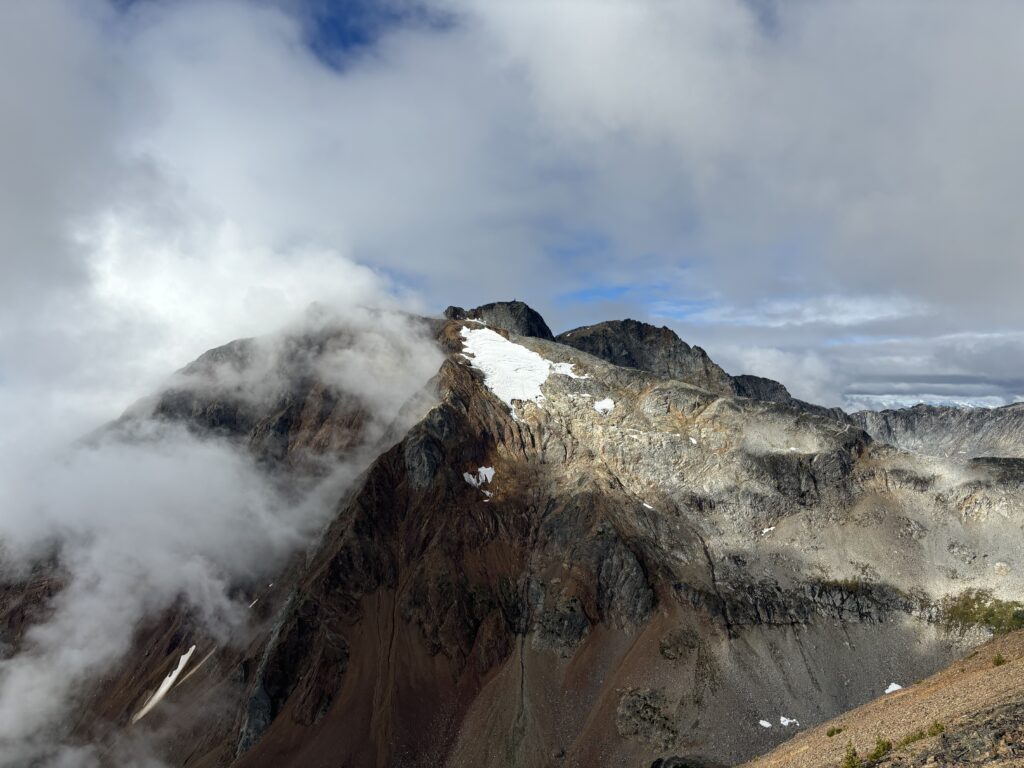
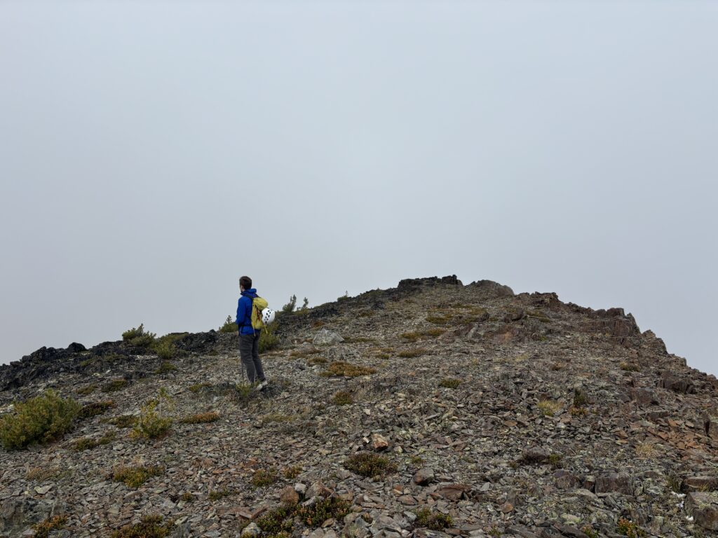
After a brief snack break on the summit we headed down the col and towards “Birkenhorn” for a quick detour before heading up Birkenhead Peak.