
Elevation Gain: 1,417m
Distance: 16.43km
Total Time: 9 hours 19 minutes
Date: June 11th, 2023
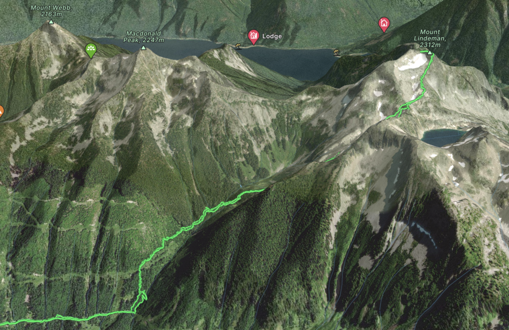
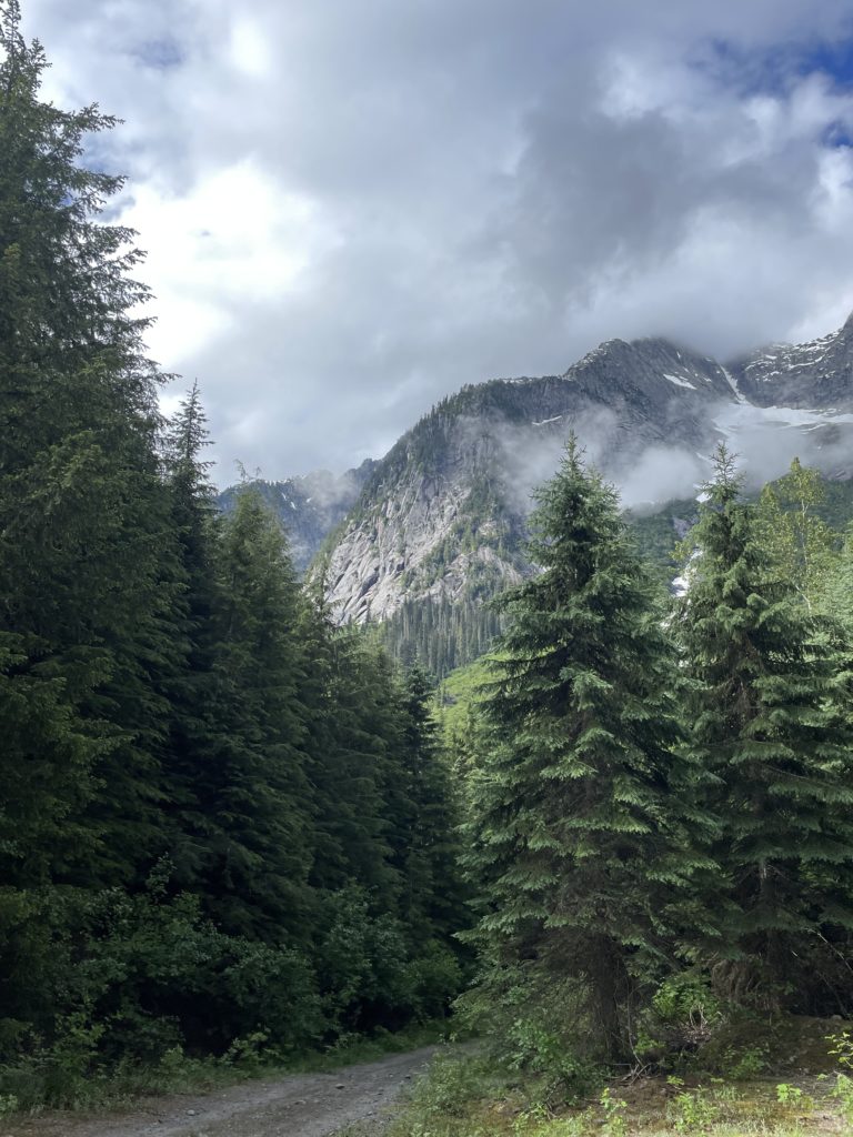
With a singular good weather this coming weekend Andrea and I were looking to make the most of it and reached out to a couple of friends to see what their plans were. As it turned out our friends Jacob and Ashley were planning to go for a summit called Mount Lindeman. It’s a 2312m peak that runs right up against the Canadian border in a more remote area of the Chilliwack Valley. Historically, it has been a bit challenging to access with some trips having to ascend in from the Mount Webb/Macdonald side. At some point the area was logged and the Centre Creek FSR was created, but it was often gated and required negotiation with the Fish Hatchery nearby. In a familiar cycle around B.C., logging ceased and the road surrendered to the throes of nature, before re-activation sometime around 2017. Since then it’s been drive-able to the 6km mark with a well maintained trail all the way to the alpine. It’s a really cool looking area, so Andrea and I couldn’t pass up the opportunity when Jacob invited us.
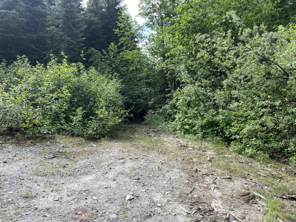
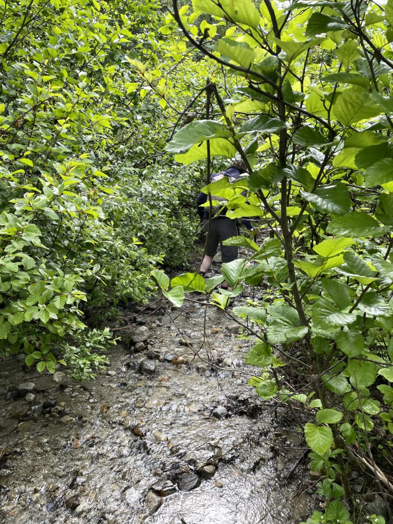
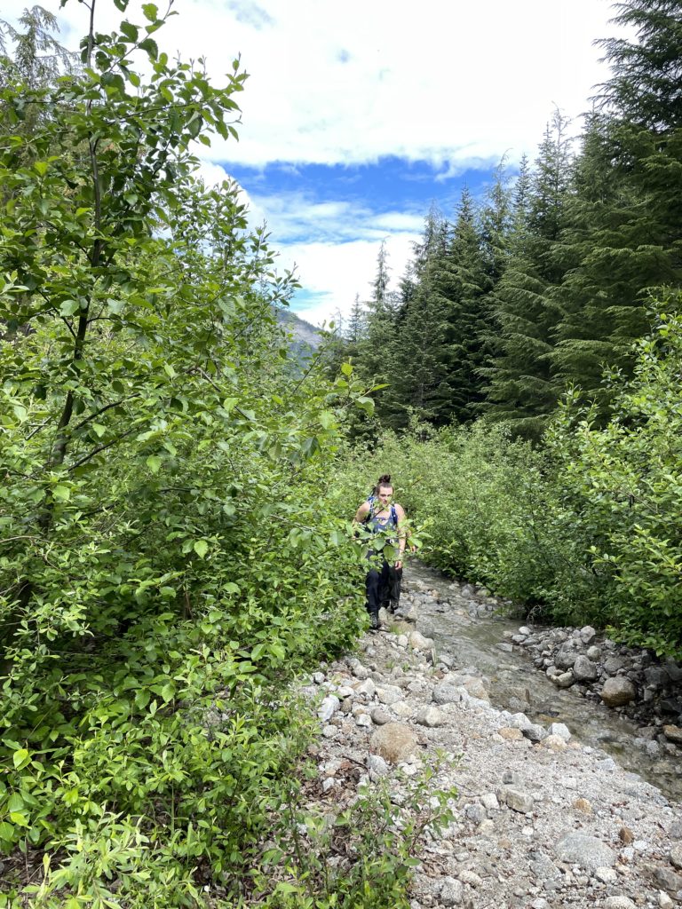
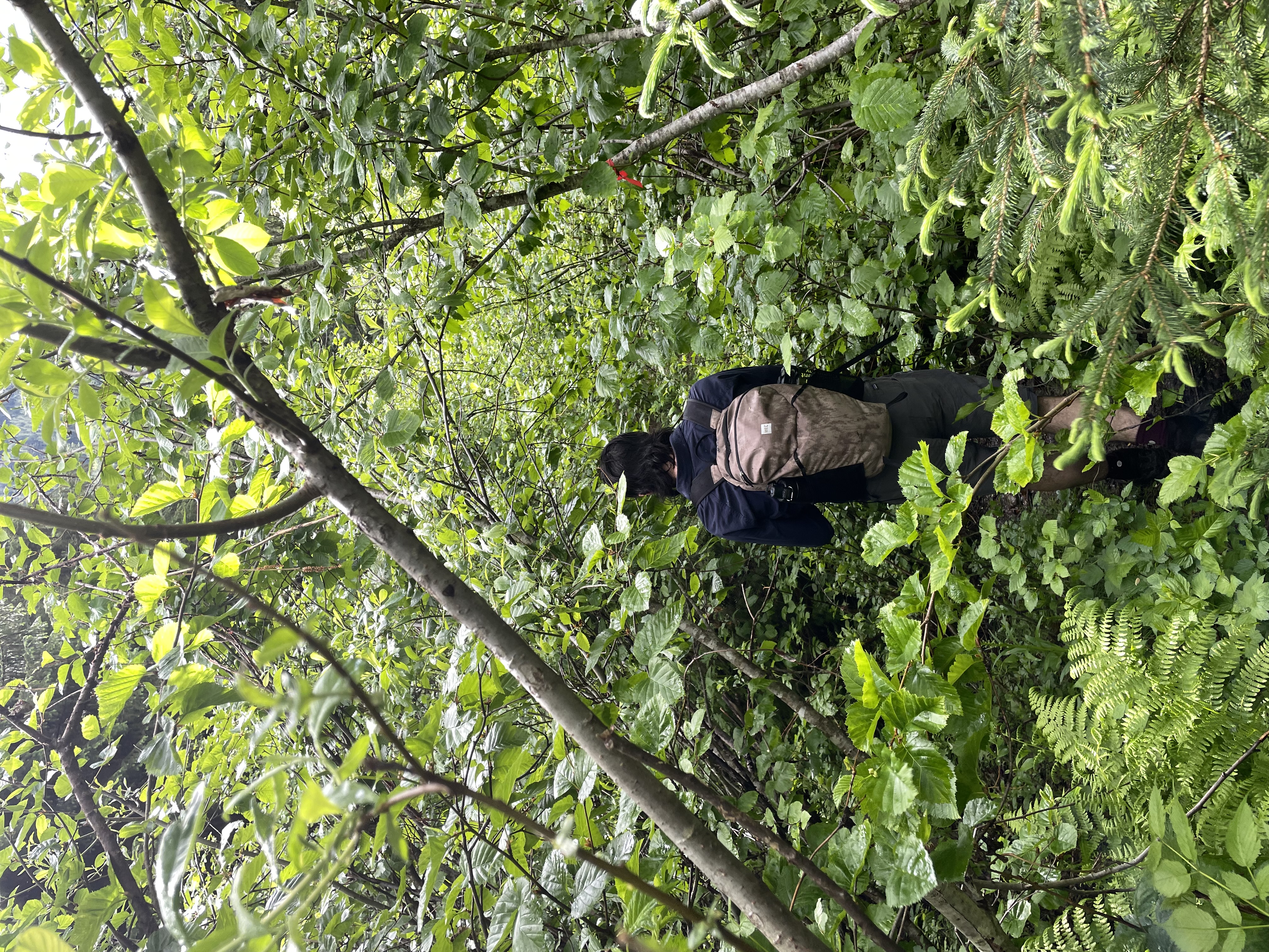
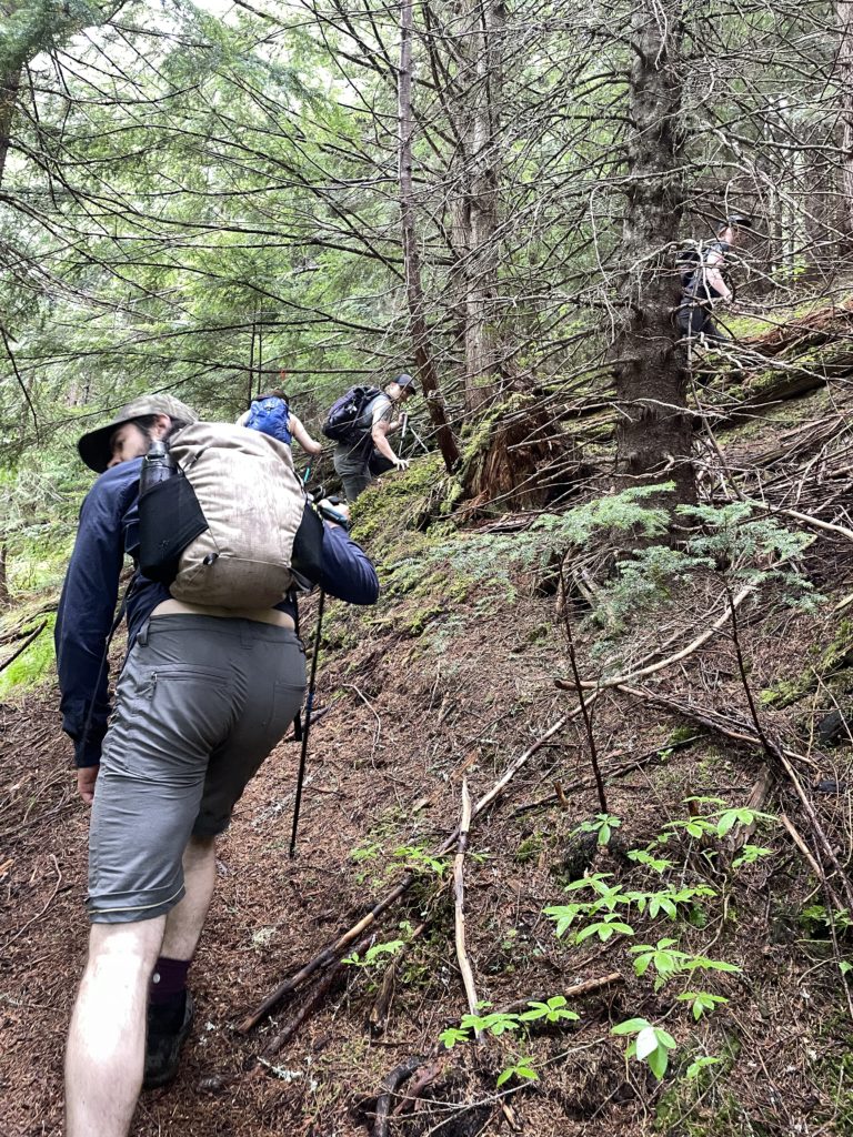
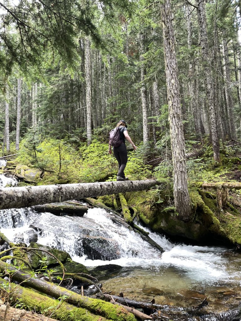
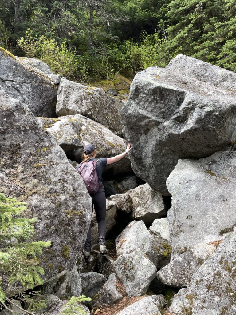
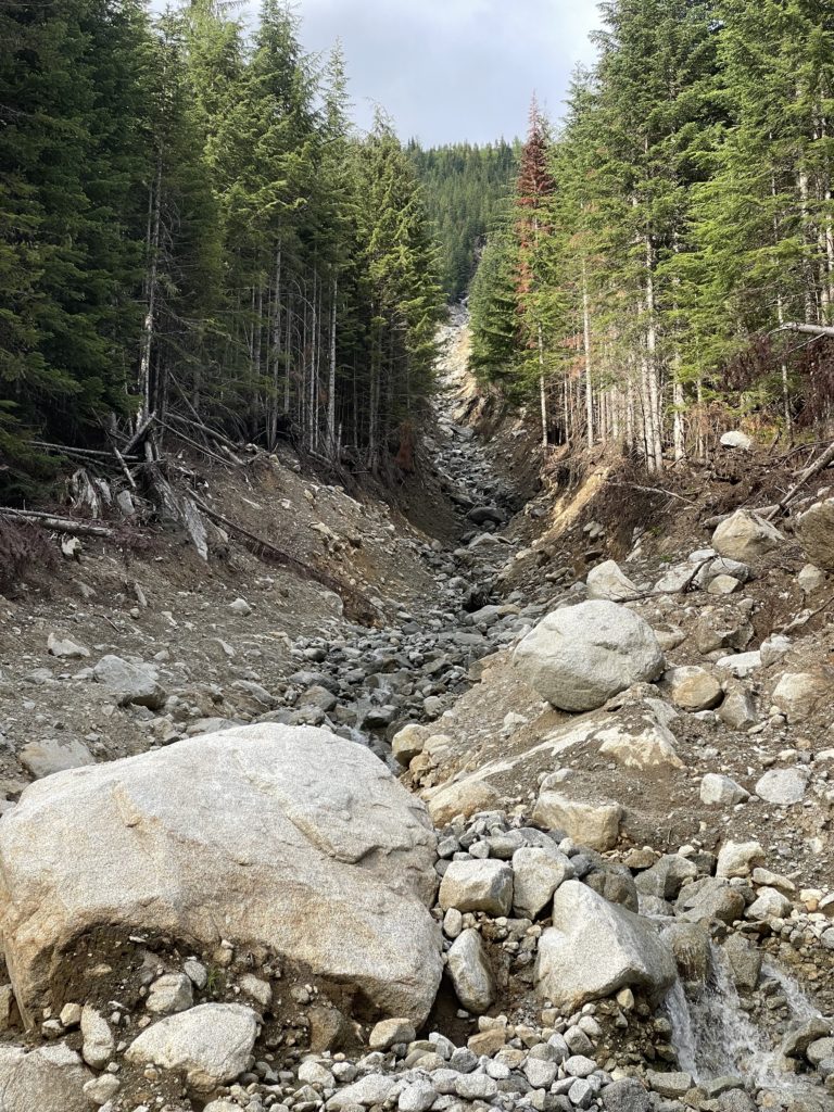
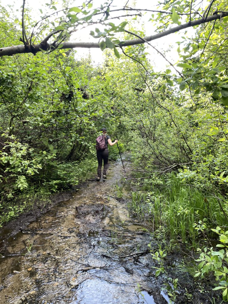
Ashley’s friend Carly was planning to join as well and with the added bonus that she had a 4×4 that could get us all the way to the trail head. It’s about 16km round trip on a mid-summer day so we left Vancouver around 7am and hit the trail head around 9:15am. The first section of trail was quite overgrown with a creek actively washing out the surface. However, the footbed was well in place and so it wasn’t too challenging to follow. Further beyond, numerous deep muddy sections had to be negotiated around as we ascended past the road and up into the forest.
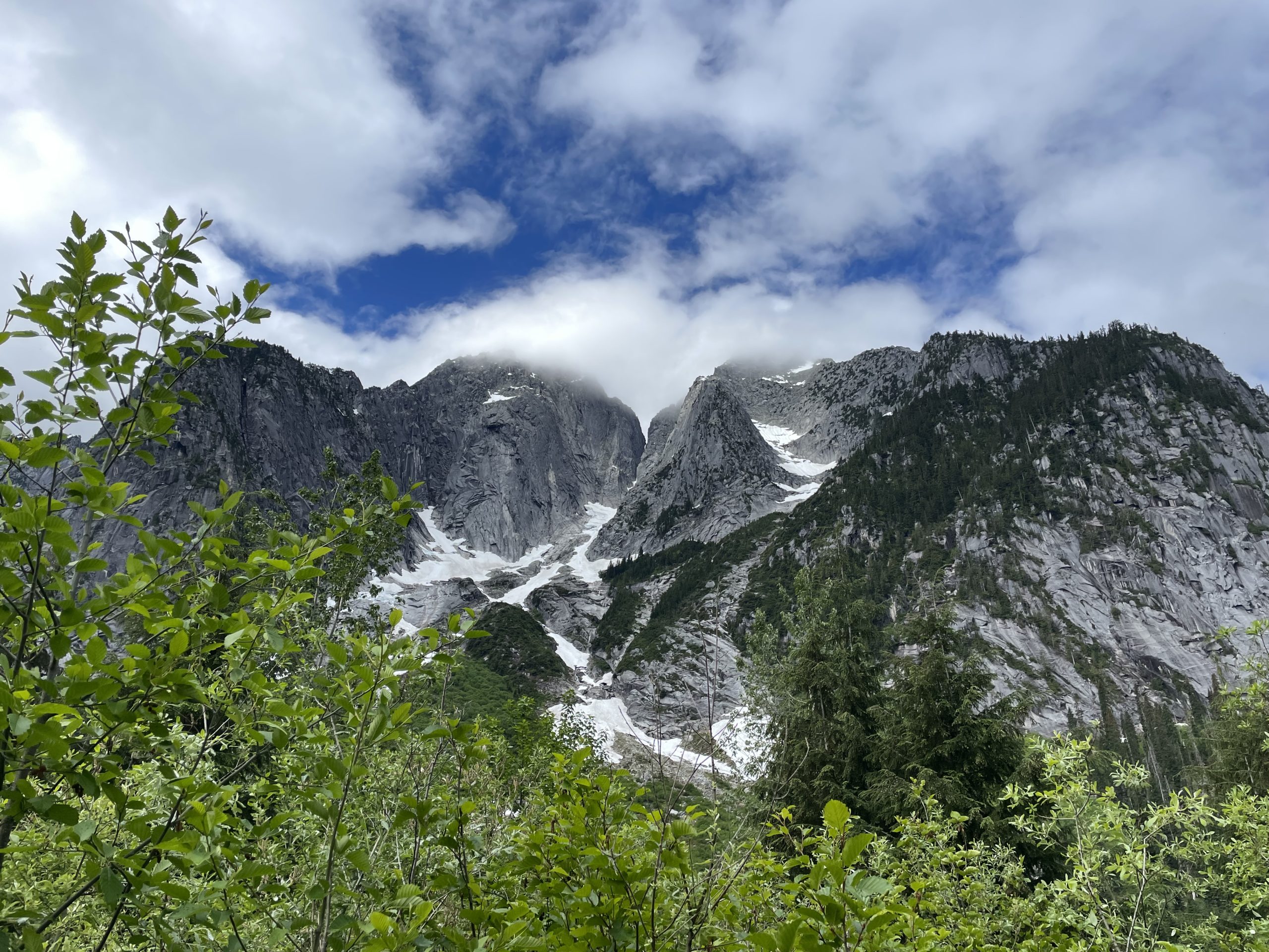
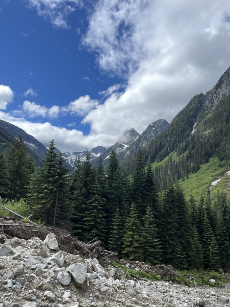
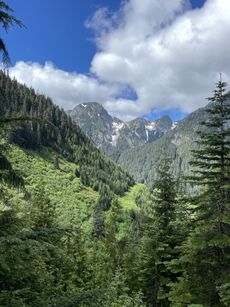
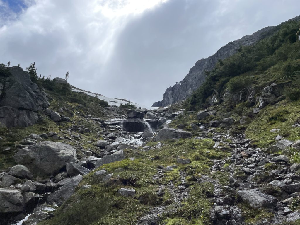
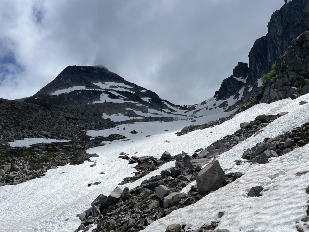
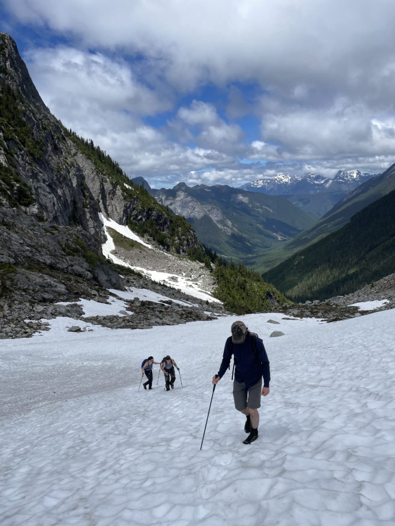
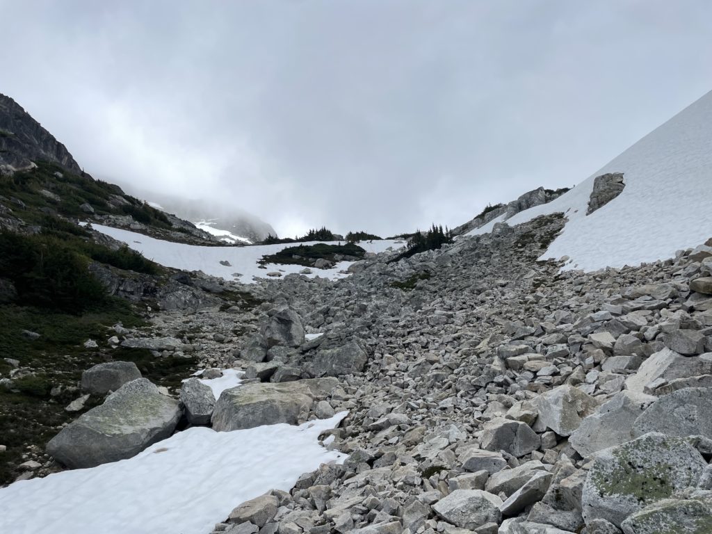
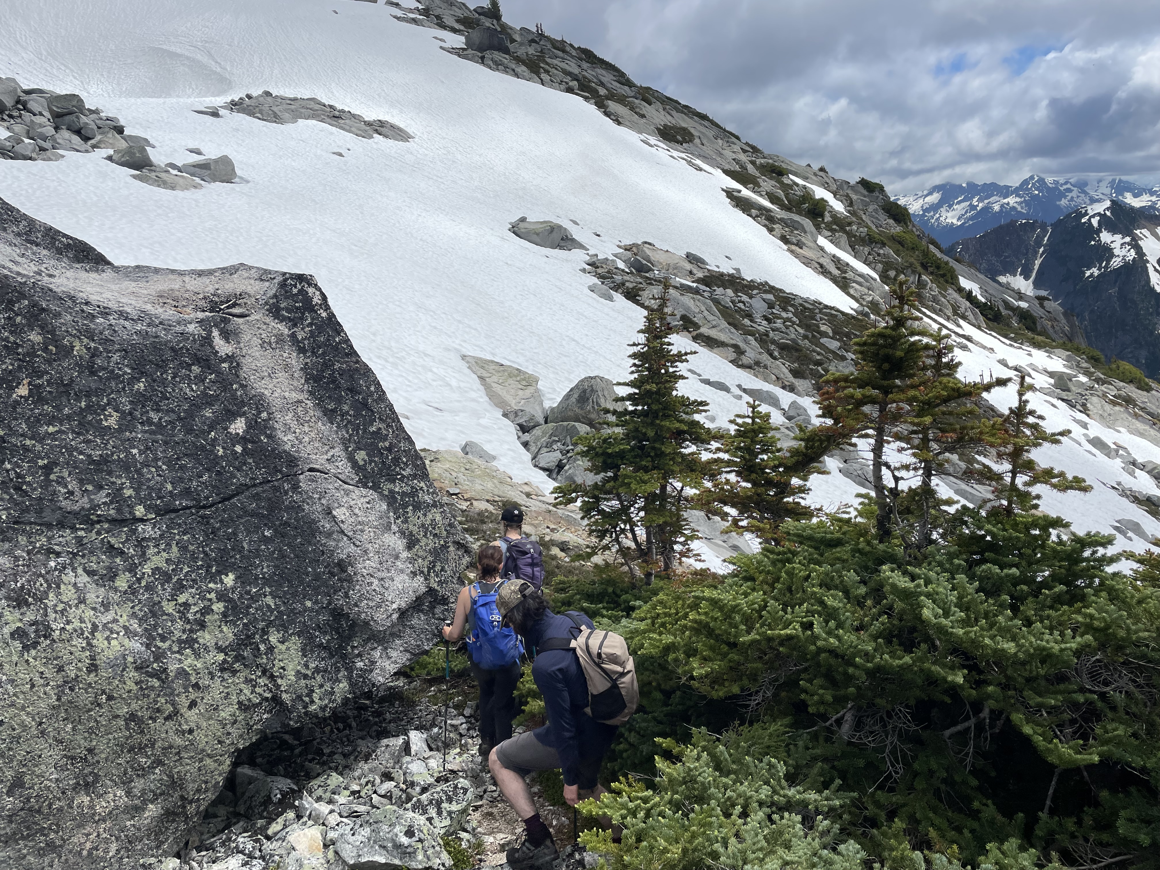
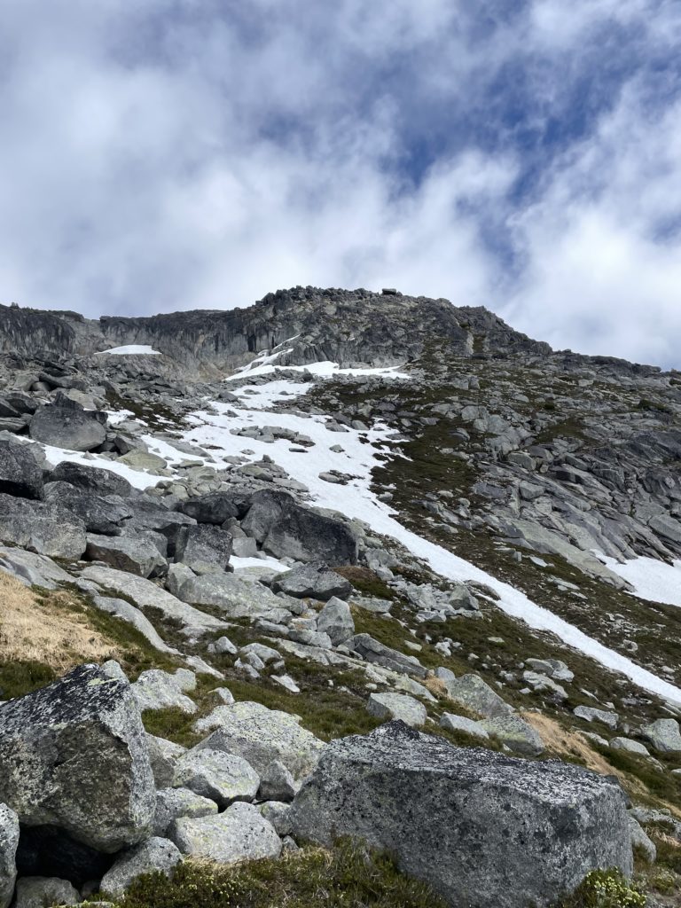
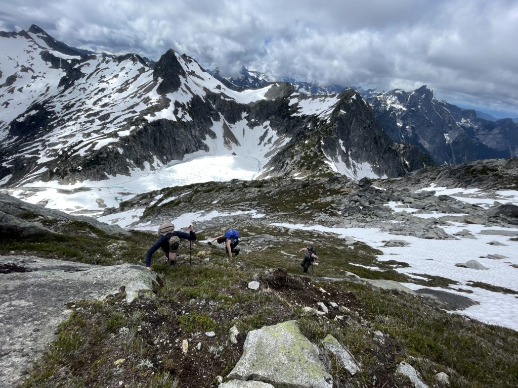
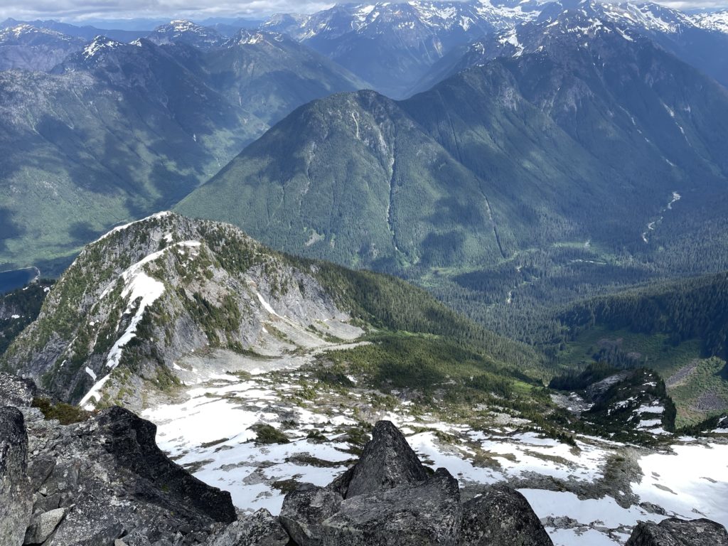
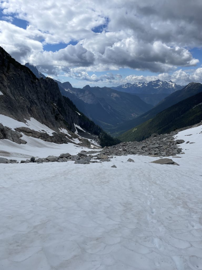
We climbed steeply for about 500m before breaking out of the trees into a picturesque meadow at the base of a large cirque. Cairns and flagging guided us around the west side of this meadow and then up a boulder gully of sorts. This took us another 200m of quick elevation gain to a large snow field that rose gently to the ridge line above. Andrea lead the way through the snow and found a few isothermal sections early on, but the footing solidified as we ventured further in. On the right side stood high-rises of granitic looking walk which kept me dreaming of various climbing lines.
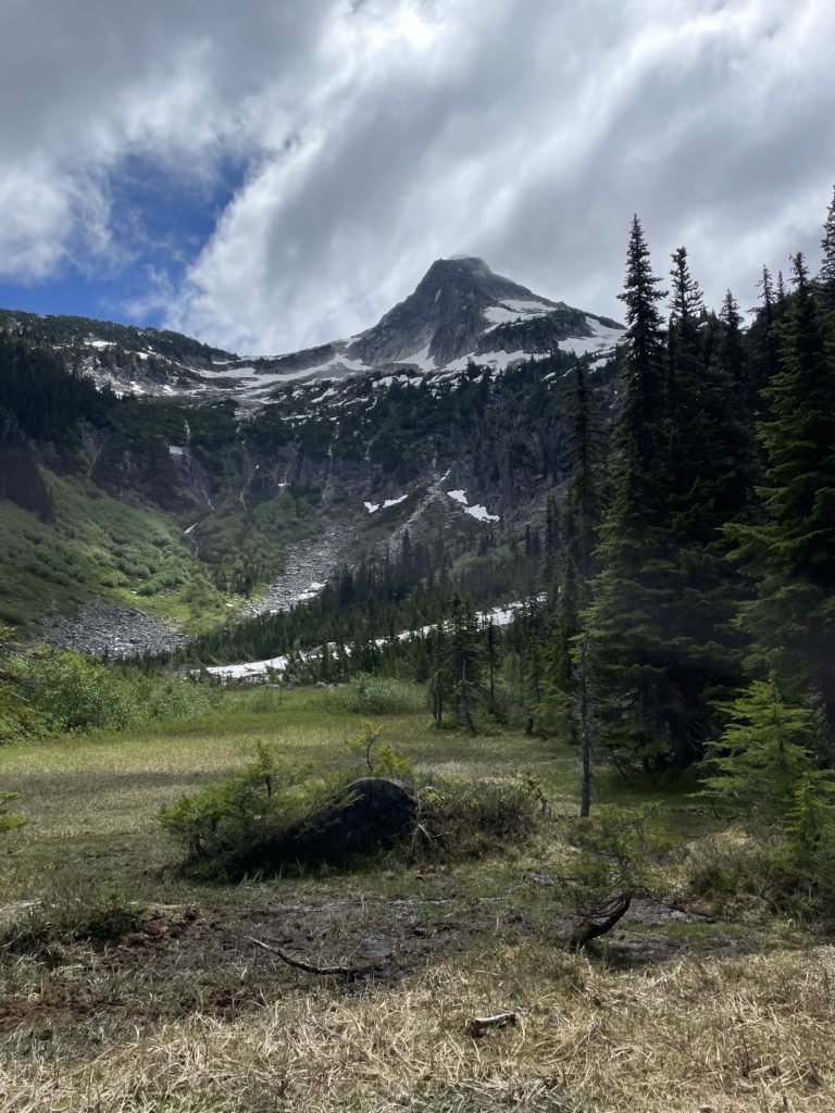
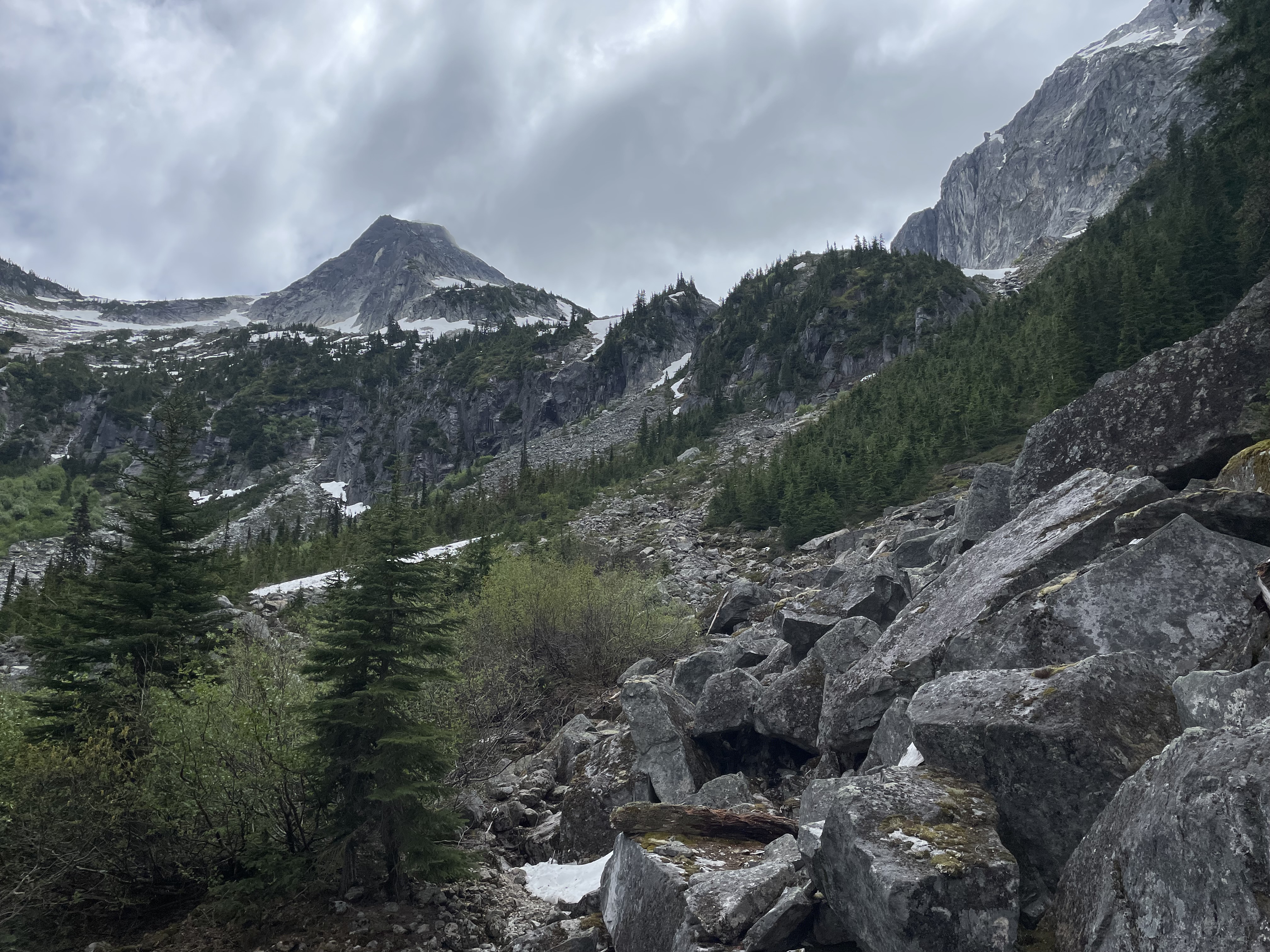
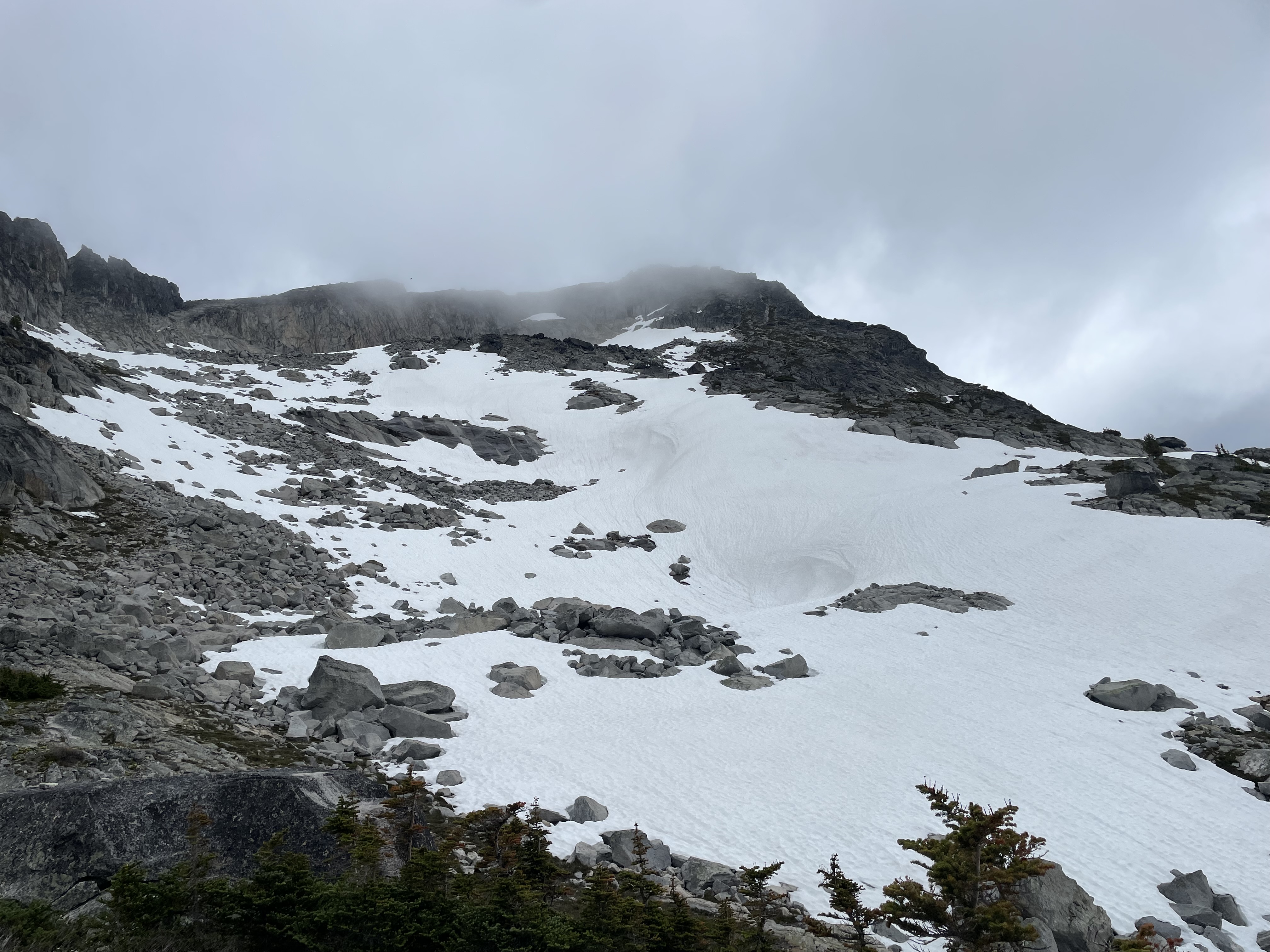
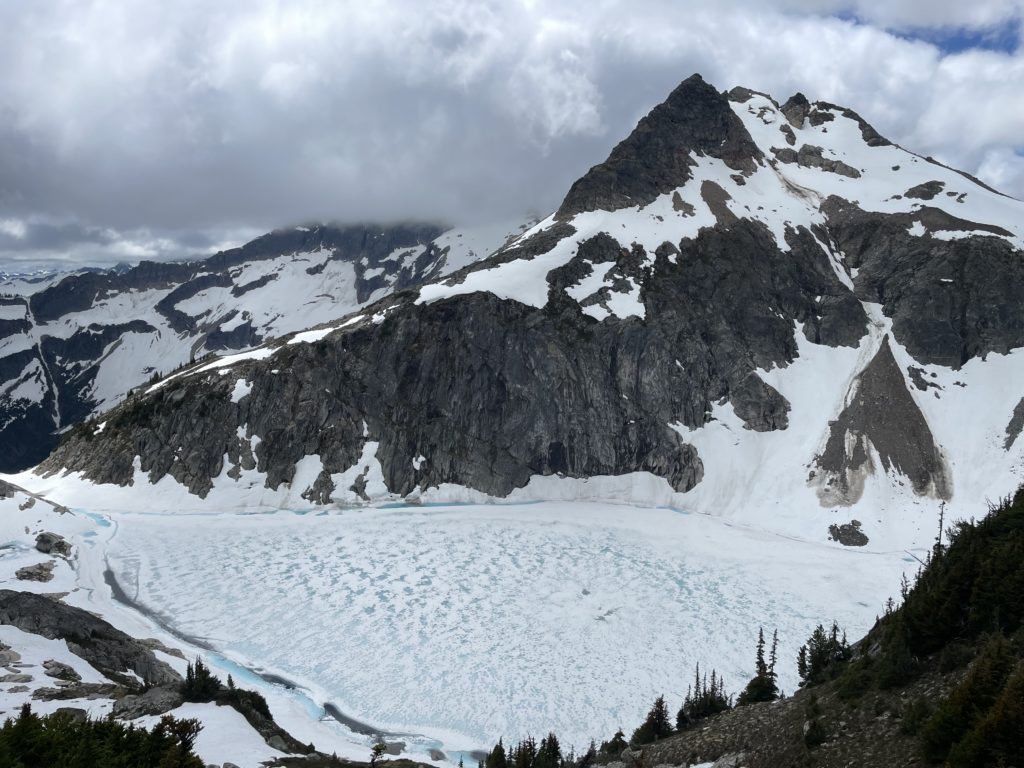
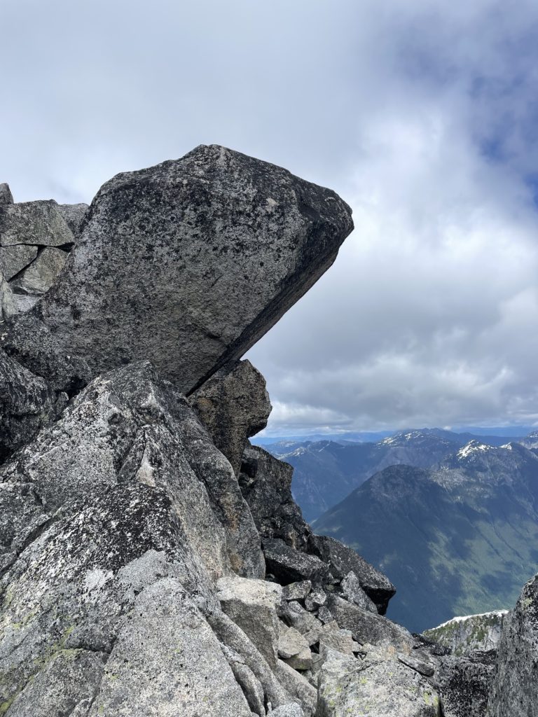
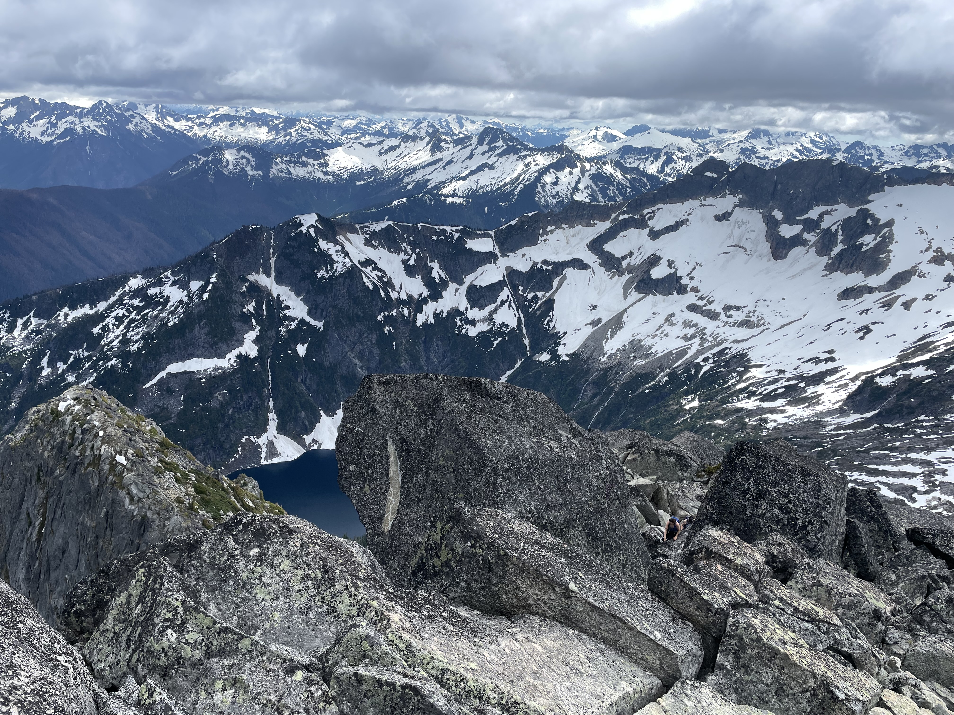
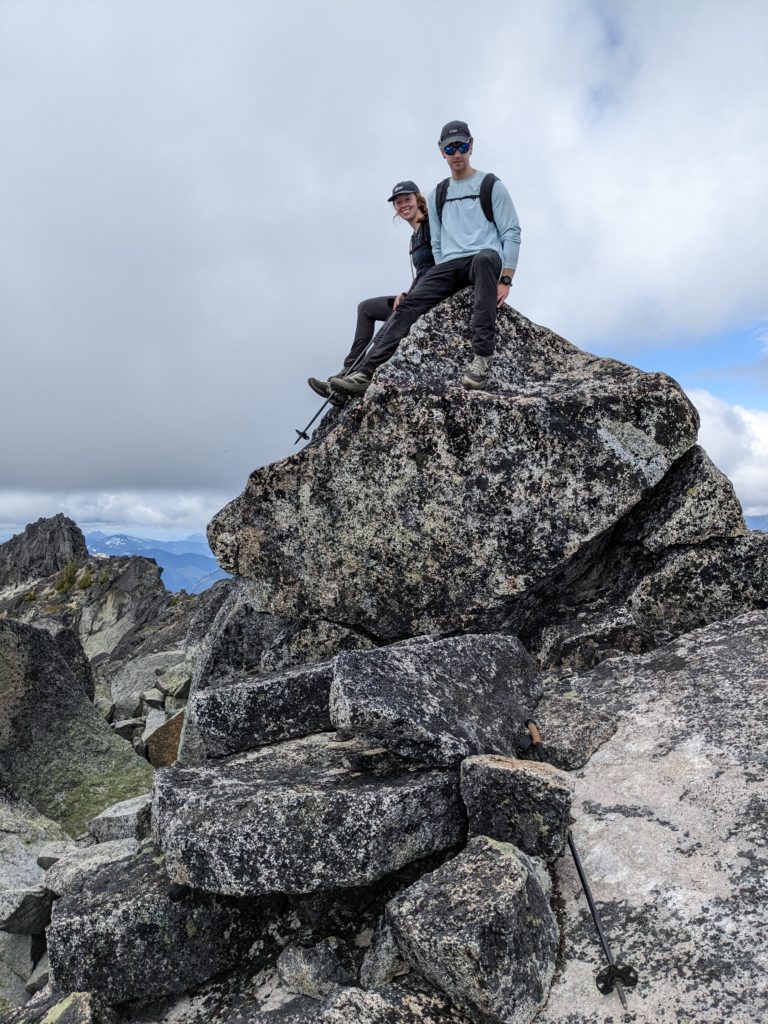
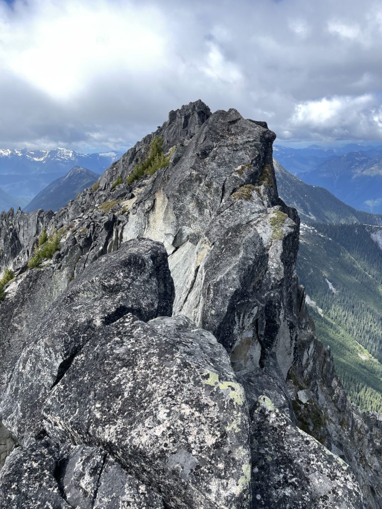
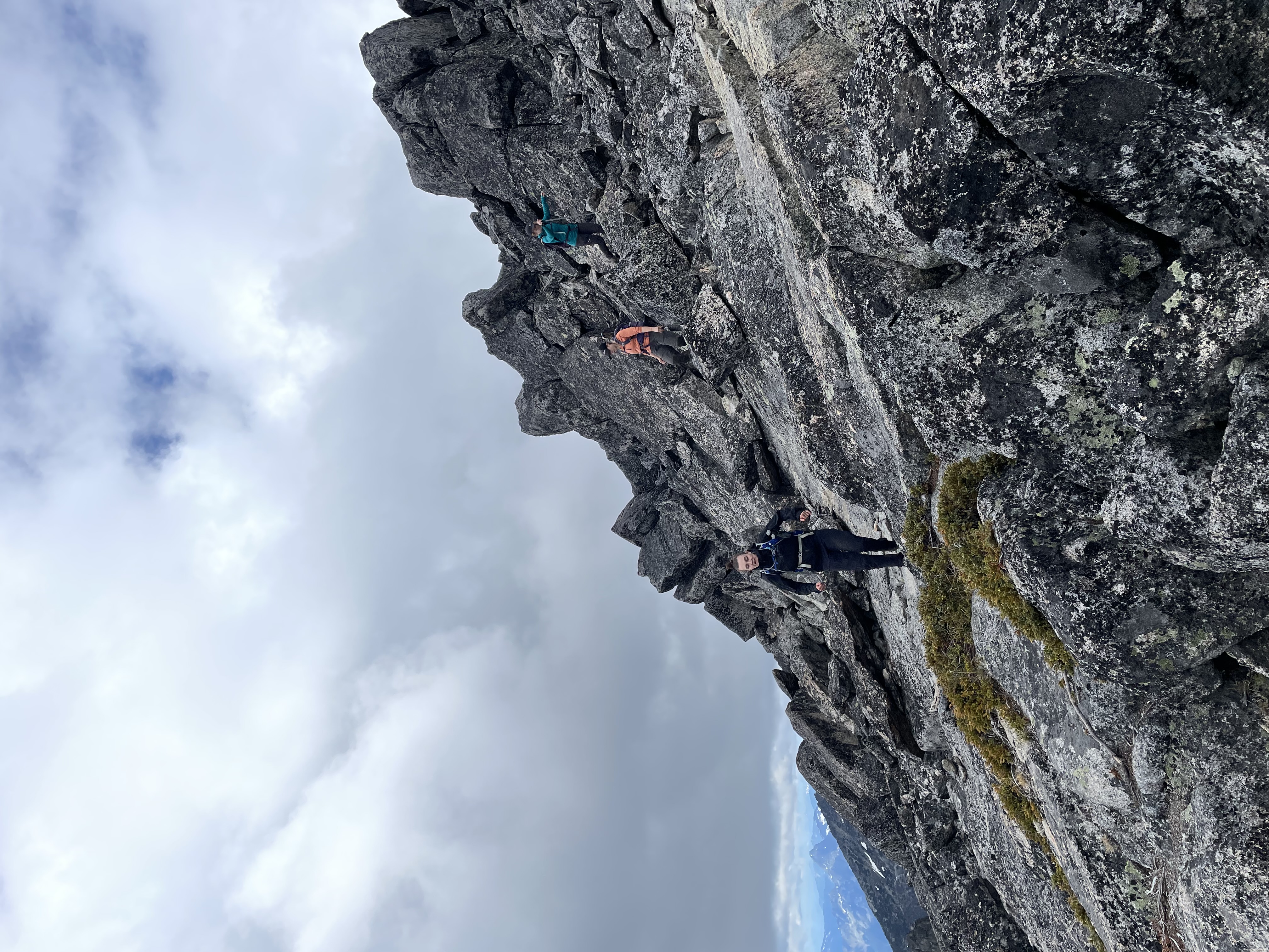
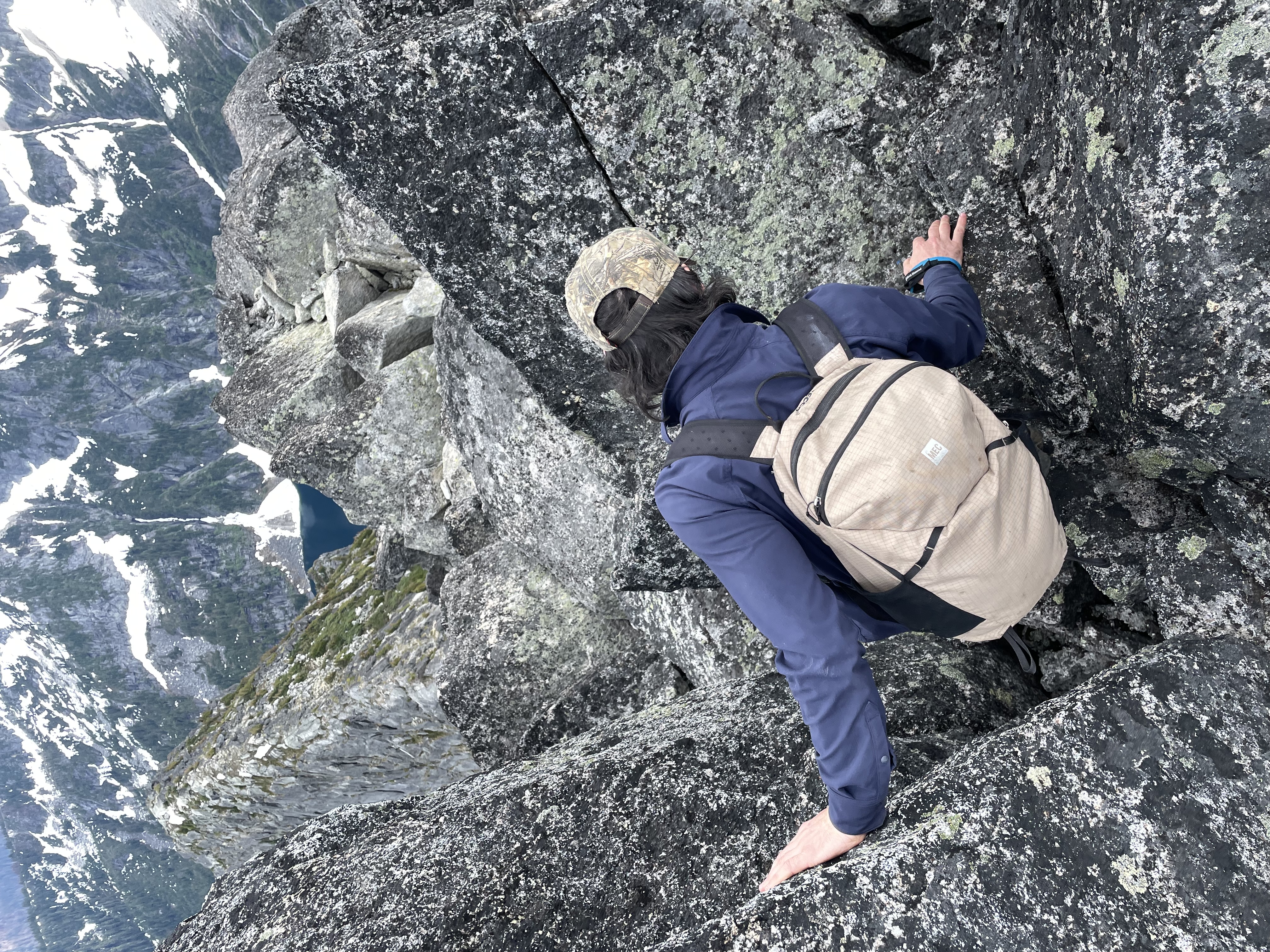
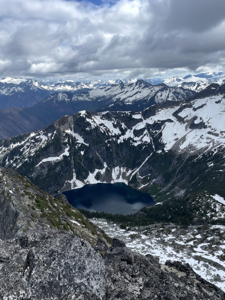
At the end of the snow field we topped out onto the ridge that bisects Lindeman and the unofficially named “Hanging Lake Peak”. A 100m below us Hanging Lake was melting out from a long winter freeze. We took some time to have lunch and observed two other hikers coming down from the summit. After some food, we traversed across the mellow snow field to gain dry slabs on the other side. The route naturally guided us up some steep heather slopes and then a bit of 2nd class scrambling before reaching the broad summit area. Enormous boulders stood perched in precarious positions all around the summit and it proved to be a much more scenic spot than I expected.
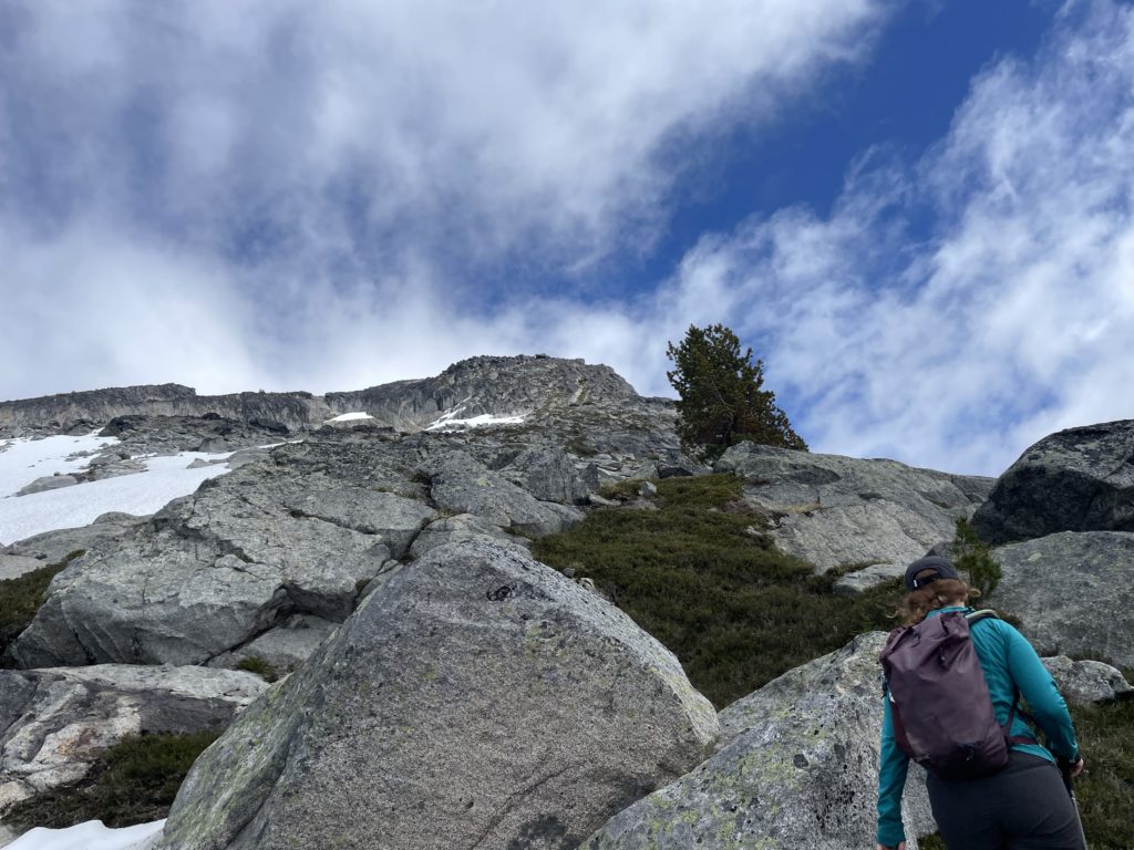
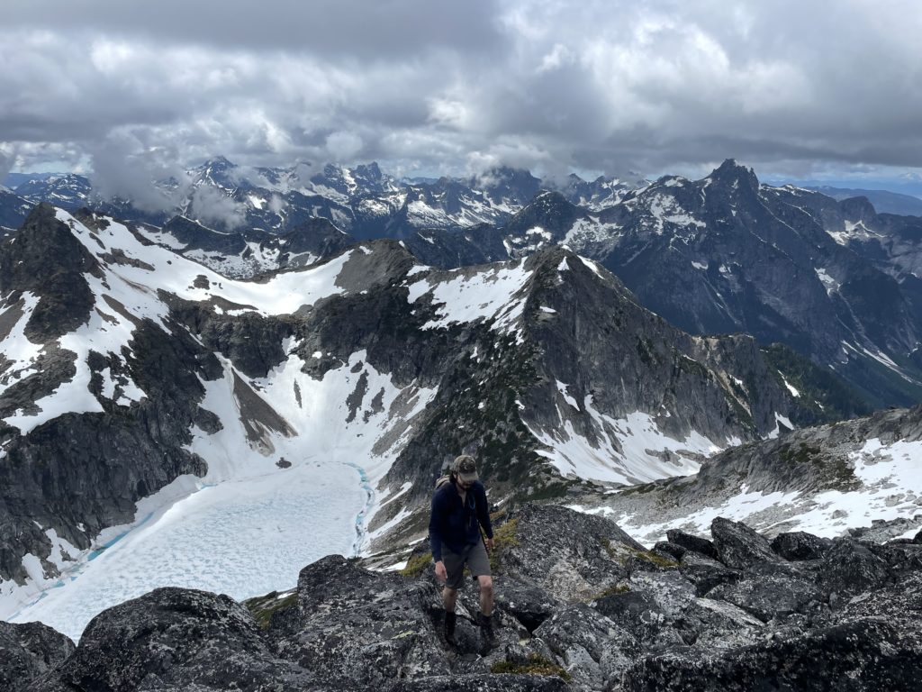
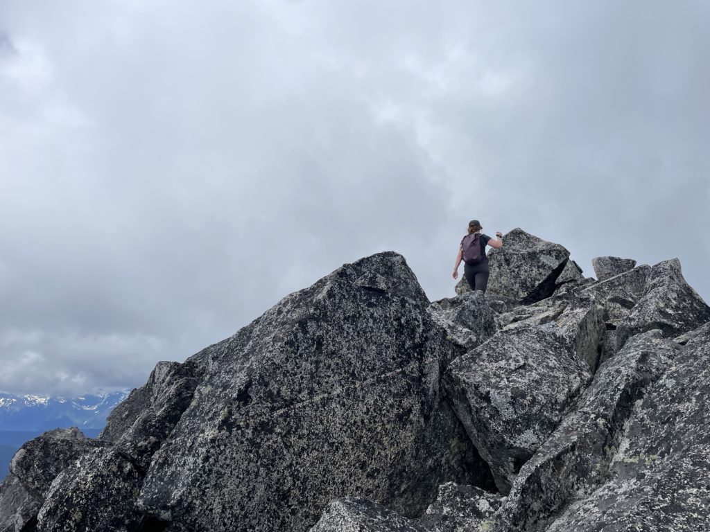
We headed for the high point, an easily scrambled boulder and peered down the ridge where another high point piqued my curiosity. From this vantage it almost looked taller. I’d find out later we were still on the true summit, but in the moment I was lured down the ridge to check it out. I stopped 50m later when I found a committing and broken knife edge section of ridge guarded the remainder of the route. One could down climb and make the precarious traverse across, but I’d only do so if I knew the summit was 100% the high point. At this point we had several existing GPX tracks to double check and that was enough for me to return back to the real summit.
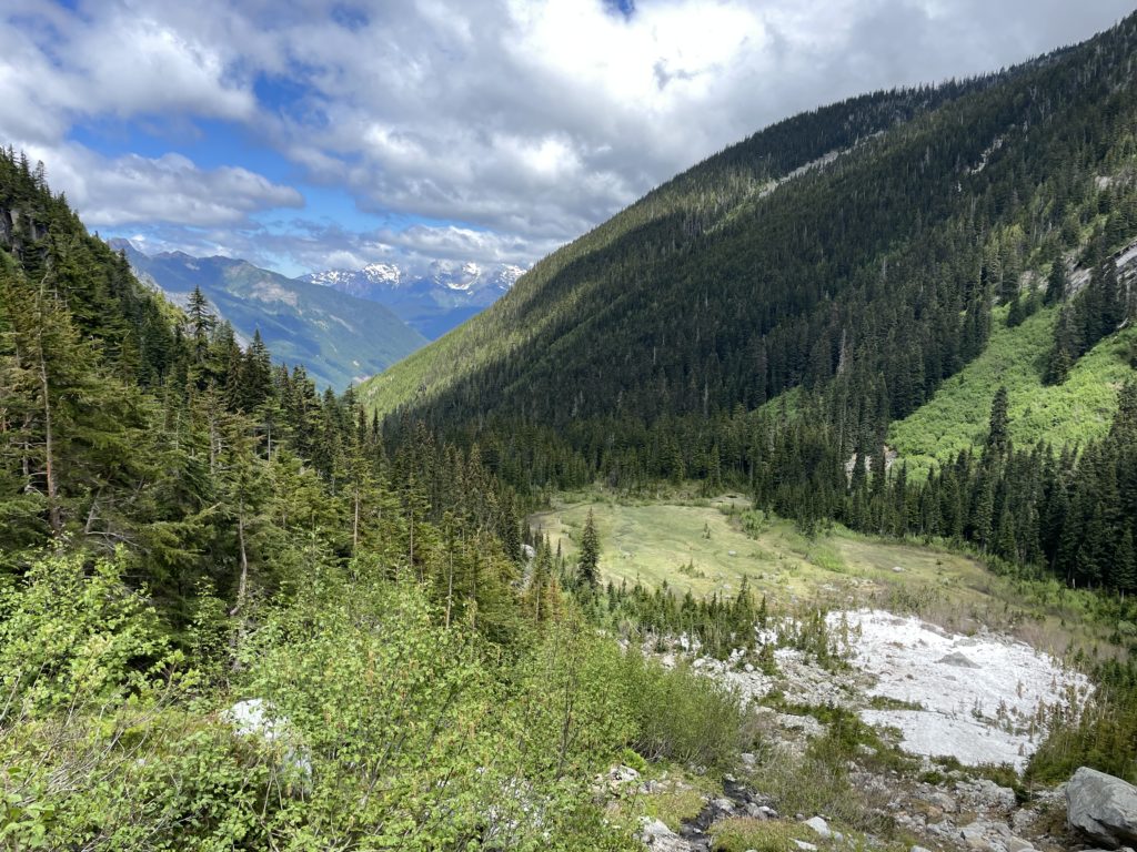
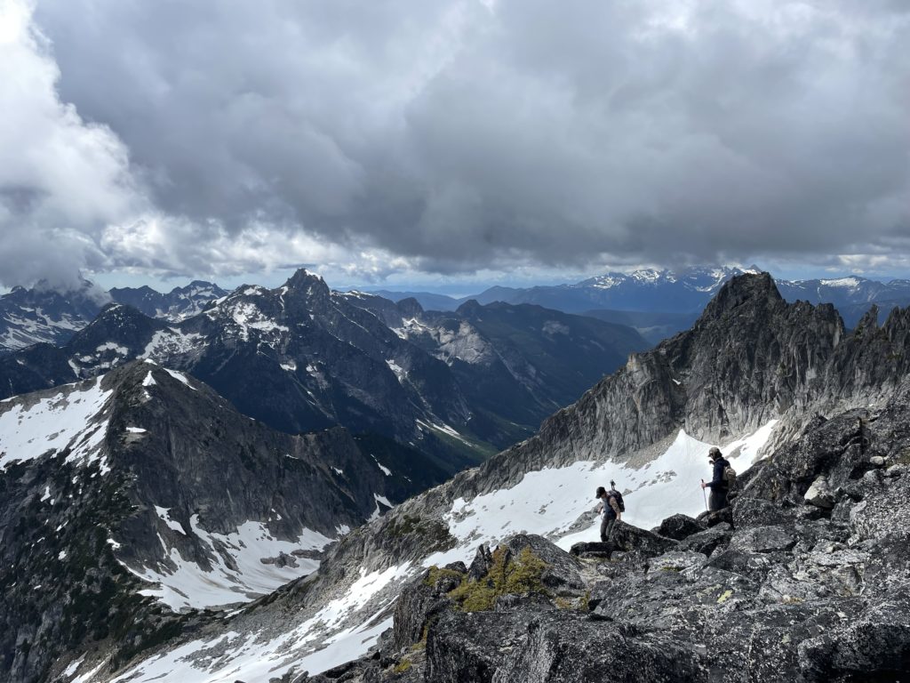
Perhaps an hour later, with a healthy dose of sun and leisure, we began the descent down. A few short scramble steps took us back to the steep heather and then it was hiking 101 down to the snow field again. We followed our tracks on the snow but this time avoided the deeper looking holes we had created on the ascent. Reversing course down to the meadow was enjoyable as I got to take in the protected alcove 200m below.
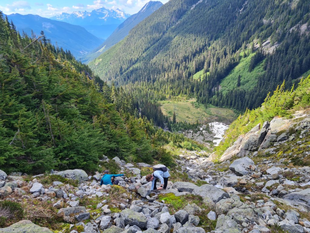
Now in the forest I just tucked back into my thoughts occasionally broke out to chat and enjoy the pleasant day it had been. We returned to Carly’s jeep after a 9 hour day out and then drove to Chilliwack for some burgers.
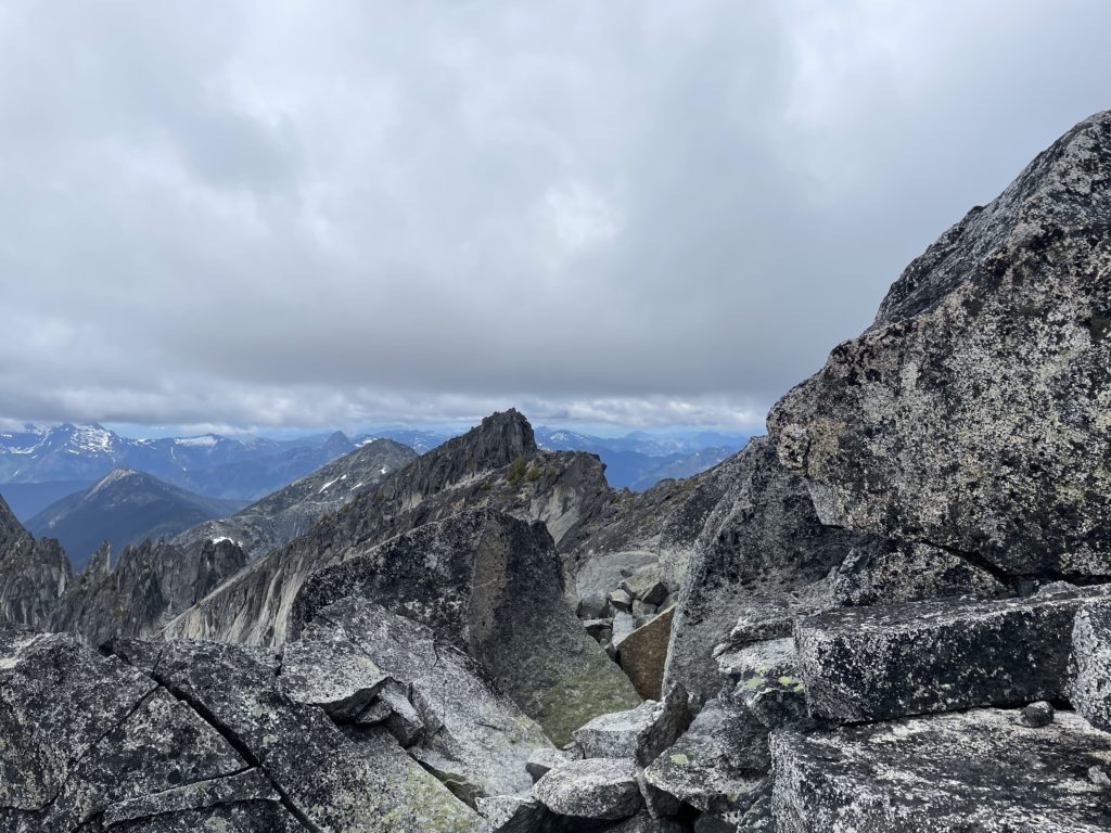
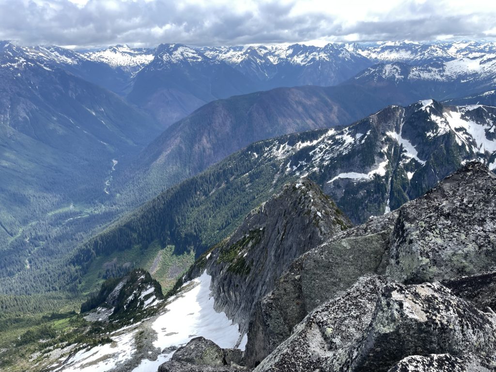
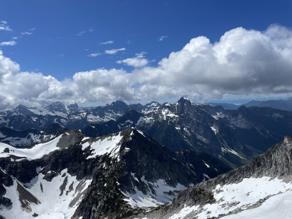
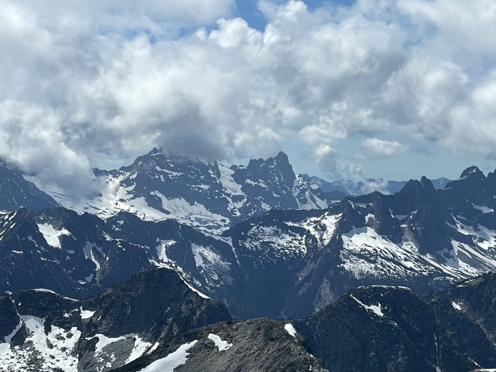
I was expecting nice scenery for our trip, but Mount Lindeman really exceeded my expectations. We were met with the massive Granodiorite ridges of Rexford to the west and remote and rugged areas of Washington to the south. To the east we had amazing views of Chilliwack Lake and the large vertical relief of Lindeman’s north face. I highly recommend this trip for a good weather outing!
Really nice pictures
Do you know if there’s a way to make it down to Lower Hanging lake? I’ve read it’s been done can’t find anything recent
Hey Jacob, the drainage looks quite steep on the topography but if you’re comfortable route finding in scrambling terrain, I’m certain it would be quite doable. You can try searching some reports from around the area with this search engine I made:
https://searchthesummits.com/?query=%22lower+hanging+lake%22