Elevation Gain: 1,226m
Distance: 16.32km
Total Time: 6 hours 56 minutes (not including the overnight stay)
Date: April 9th/10th, 2022
Weather for the weekend was looking subpar everywhere in the Fraser Valley and Sea2Sky, except Vancouver. Adding to that the avalanche forecast was M/M/L with low confidence due to a recent dump of snow and freezing levels above 3000m. That freezing level was expected to drop to around 700m over the weekend, but I decided early on that I’d be keeping the terrain choices conservative. Now I was on the search for something suitable in the North Shore to take advantage of this small weather area. My friend Mike was interested in joining but with the added caveat that he wanted to camp over night. Personally, I don’t like camping unless absolutely necessary, but I did have success last year catching an amazing sunset on Panorama Ridge. The sunset idea had me thinking more and I eventually decided we should try and tag Unnecessary Mountain.
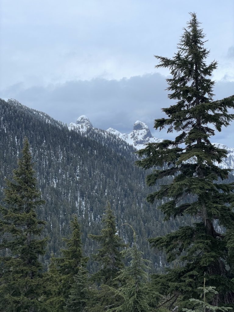
For the uniformed, this is a 1548m peak that makes up part of the Howe Sound Crest Trail. It lies north of the much more popular St. Marks Summit, but still receives a fair bit of attention in the summer due to the North Shore Bagger Challenge. In the winter, ascents are much less frequent. I didn’t have any beta on the mountain other than a trail marker available on most maps. However, I knew that it’s part of the HSCT so it can’t be anything crazy to reach.
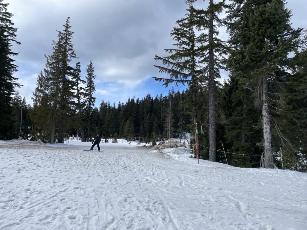
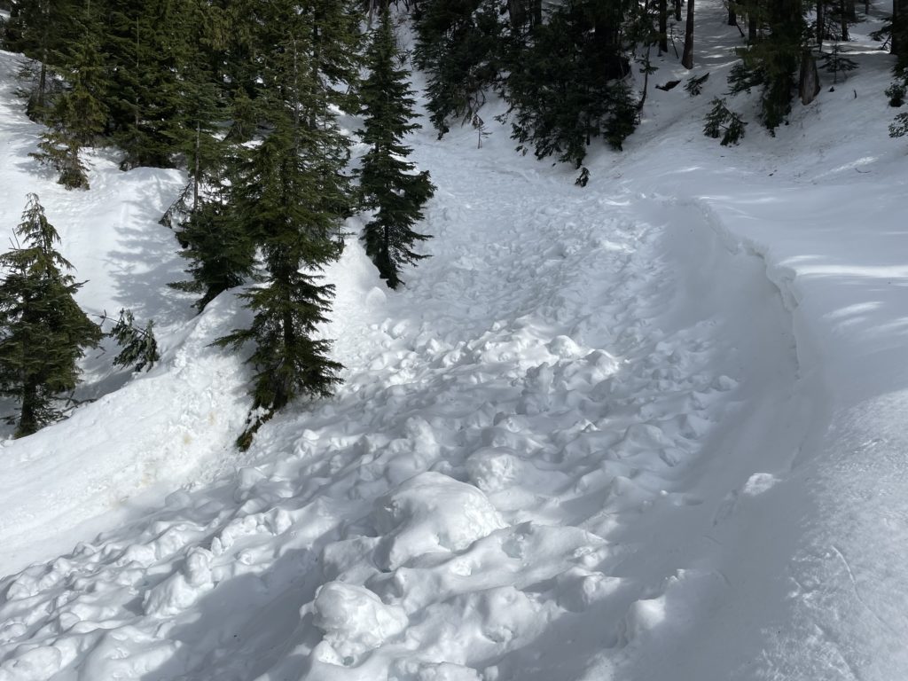
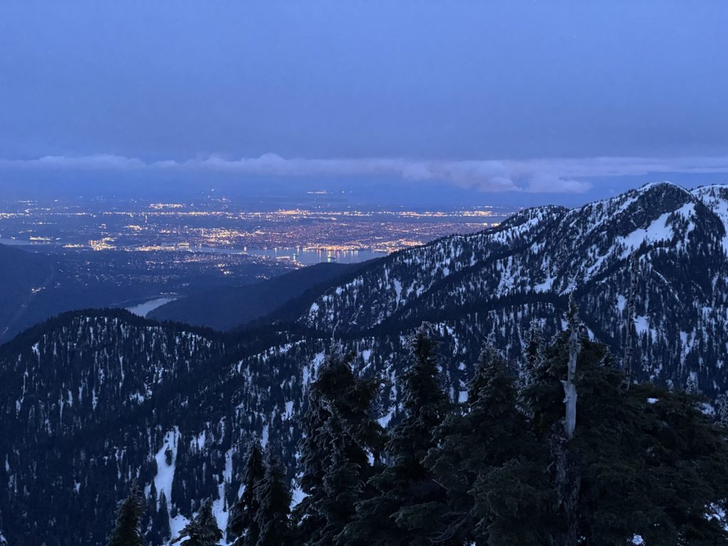
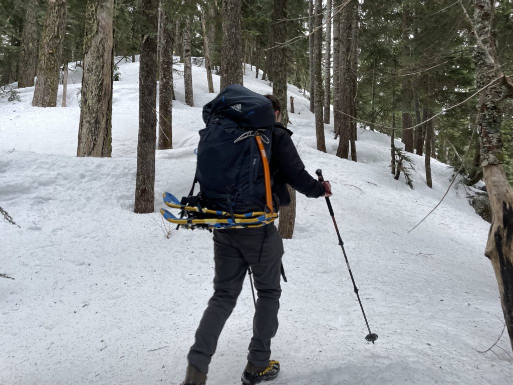
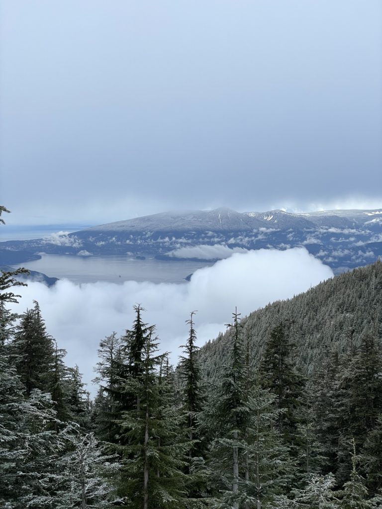
Since Mike and I were planning to catch the sunset, we decided to meet at Cypress for 3:30pm and go from there. I ran a bit late due to construction and traffic and arrived closer to 3:50pm. We got going shortly after and headed towards the back country access trail just beyond the chair lifts. The snow was mostly firm in the beginning thanks to that recent freezing level drop. However, there was no shortage of post holes that indicated this was a soupy mess not long ago.
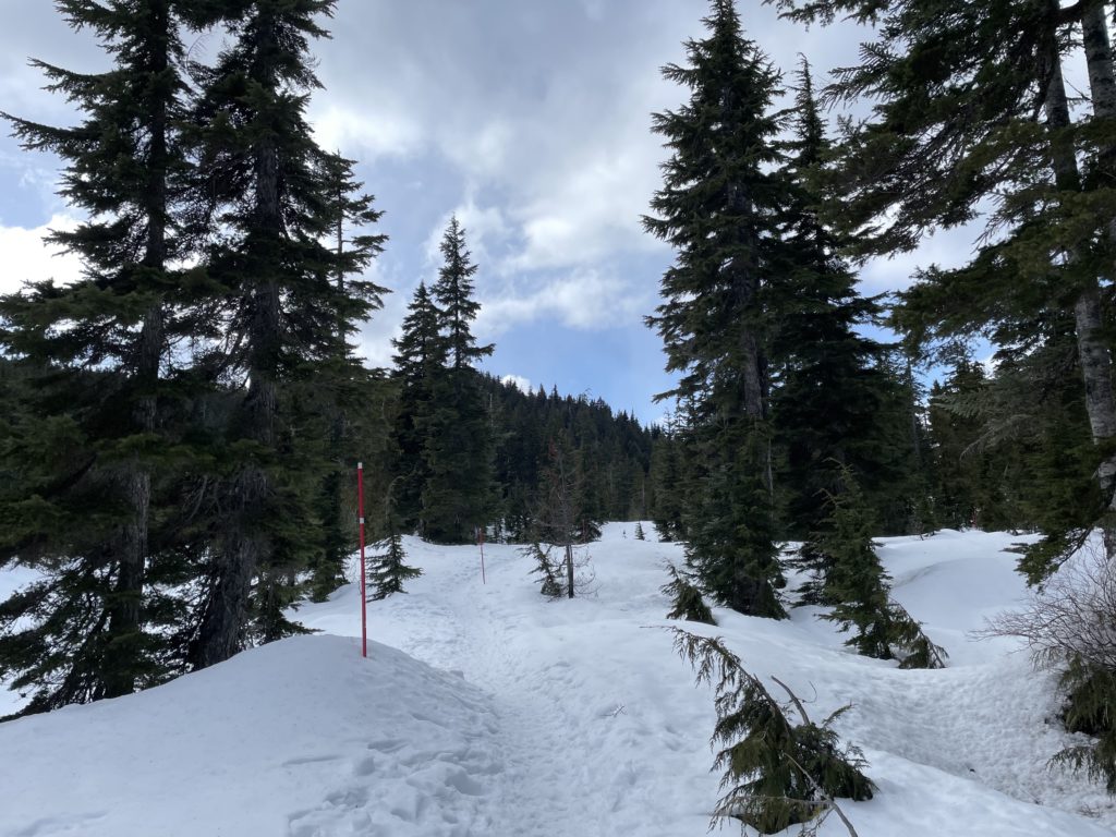
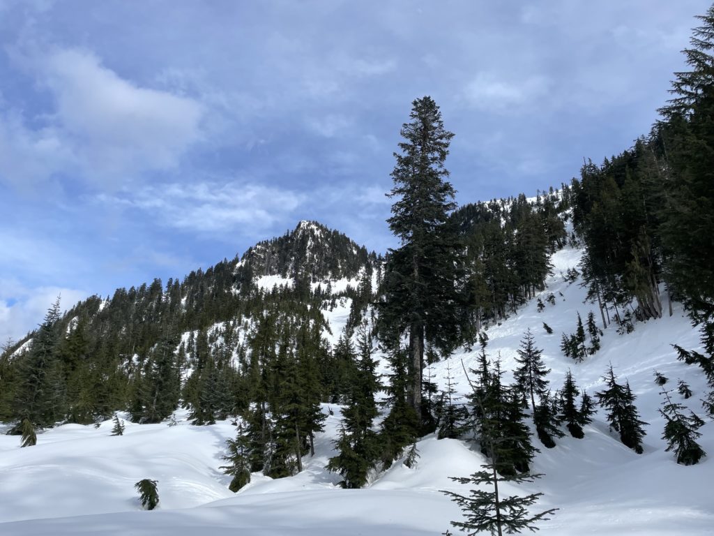
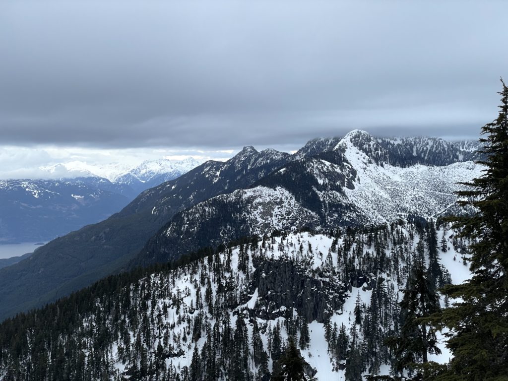
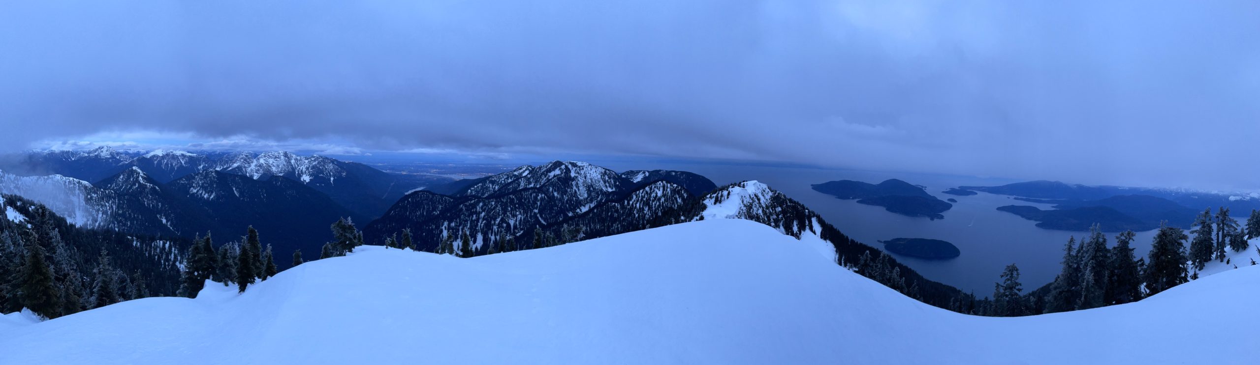
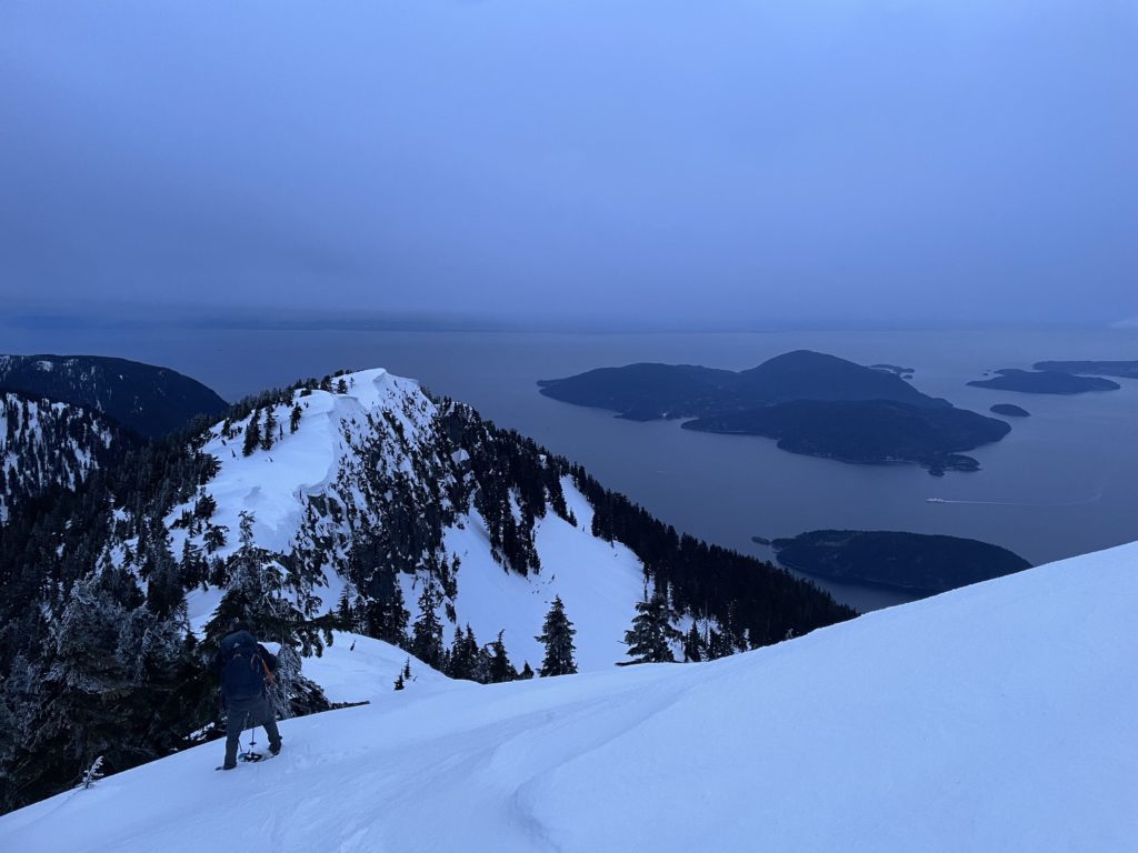
Mike and I traversed around Yew Lake and then up towards the Bowen Island look out. The ascent here was easy and before long we were traversing around the western flanks of Strachan Mountain and past a number of gullies including the infamous Christmas Gully. Then we ascended up to the St Mark’s summit ridgeline, making good time. The western side of the trail was exposed to a cold updraft and I had to layer up to avoid freezing. At the St. Mark’s Summit ridge, we briefly considered just setting up camp here and making a relaxing trip out of the journey. However, I had already done St. Marks summit three or four times and the prospect of seeing something new overruled those thoughts.
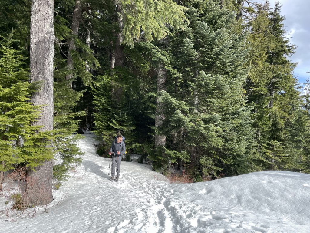
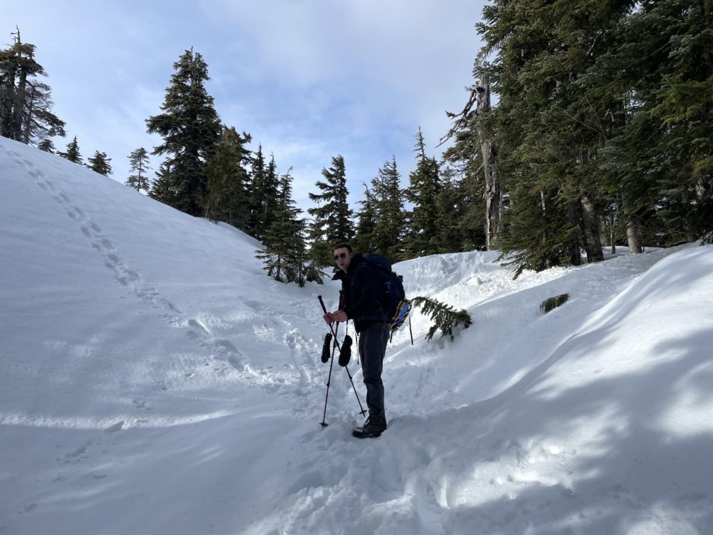
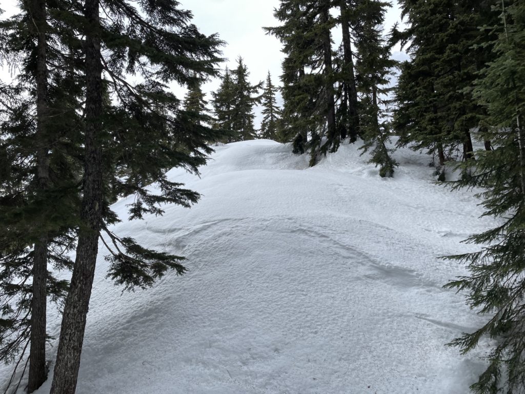
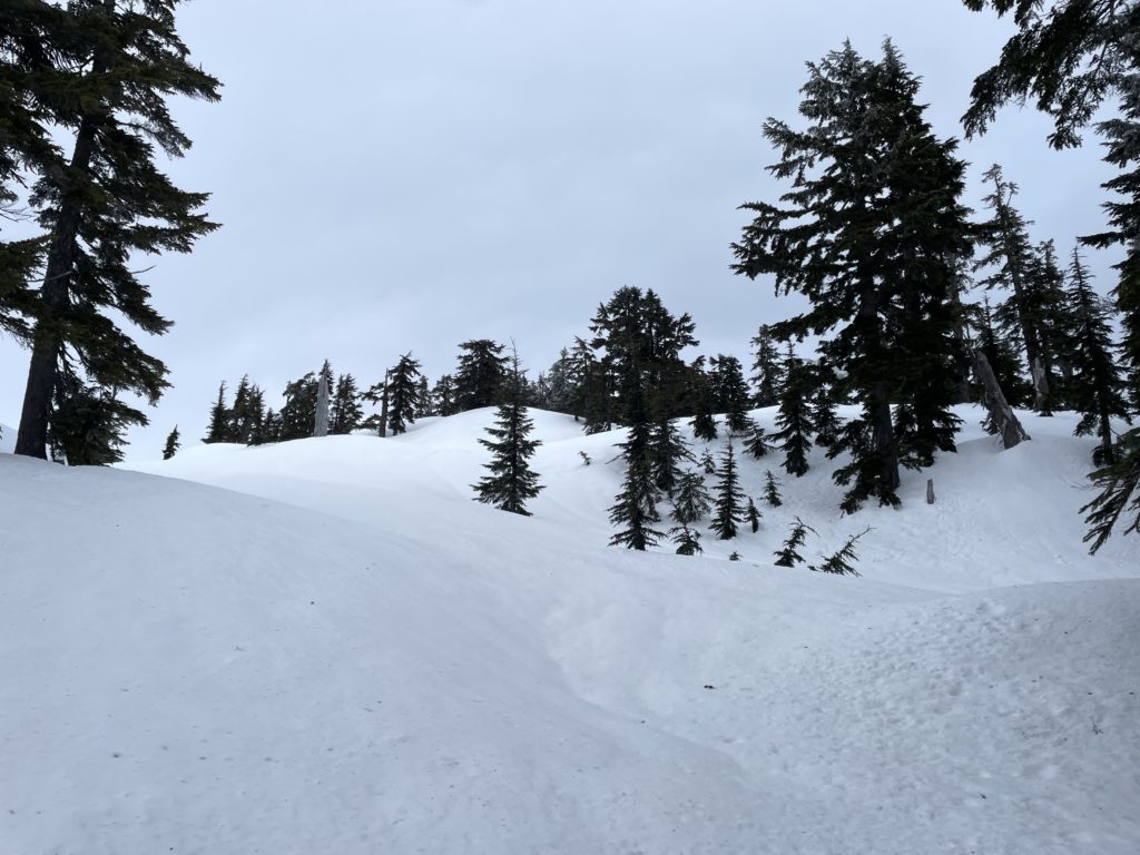
From the summit, we reached the terminus of man-made tracks, put our snow shoes on and headed downwards into virgin snow. I had a quick look at the map and realized, disappointingly, we’d be losing around 170m of elevation and then need to regain ~350m to reach the summit. Oh well, it’s an easy descent in the snow so can’t complain too much. The slopes down to the col were steep, but with snow shoes and the mostly firm conditions it was straight forward. At the col we began the long and modest rise towards the steeper slopes another km or so beyond.
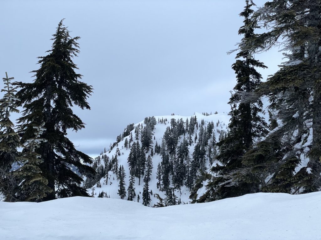
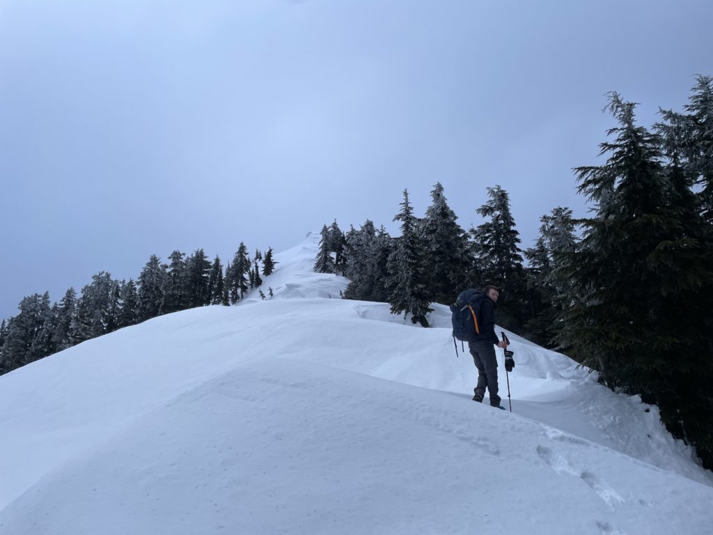
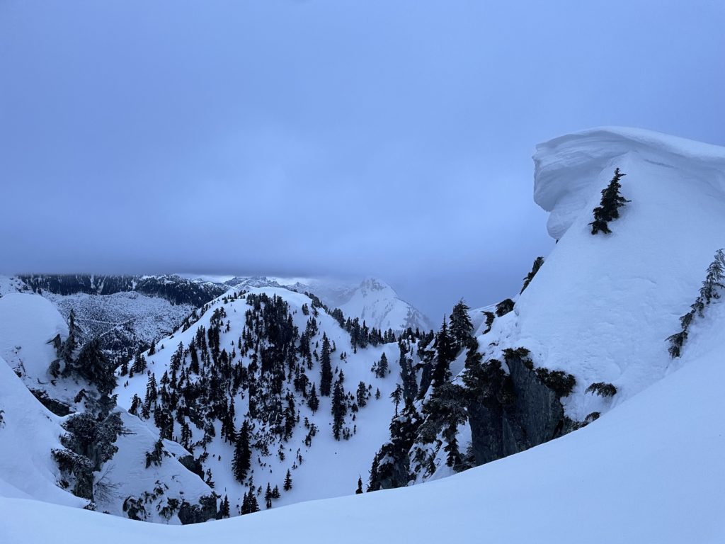
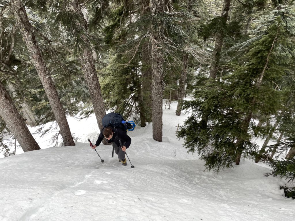
We had ample trail markers to go off, but it was also an obvious ridge ramble so not terribly necessary. Once we reached the steeper slopes we encountered highly variable snow conditions. A mix of rotten isothermal snow and firm supportive crust with no rhyme or reason to their location. Onwards we went up though until we reached the steepest point. Here, there were obvious signs of recent instability. Some wet loose activity, but it had largely firmed up by the time we reached it. I made it part way up and decided to get out the ice axe just in case. It’s not the place that you’d have a fatality, but hitting a tree was certainly a possibility if you slipped, so better safe than sorry.
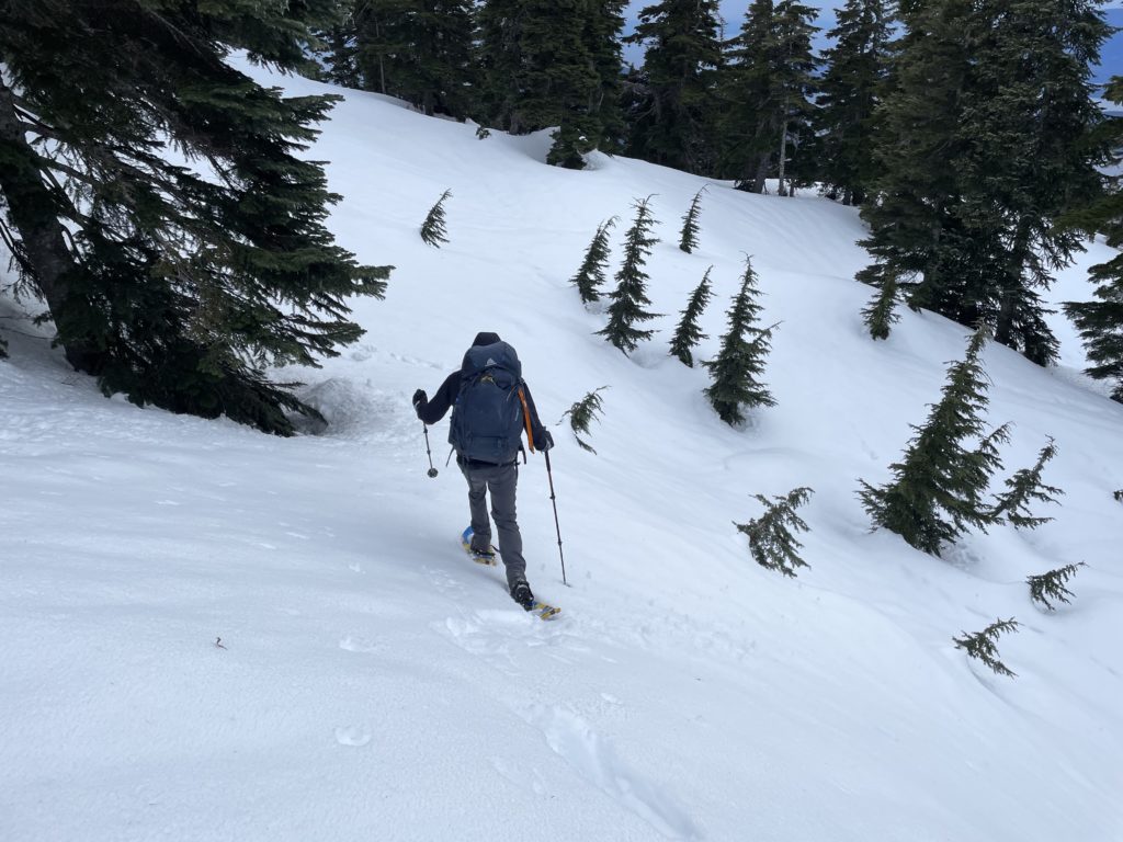
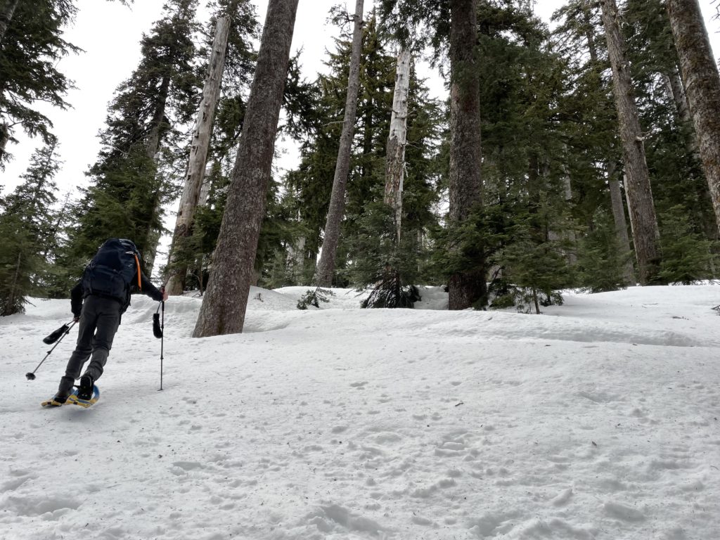
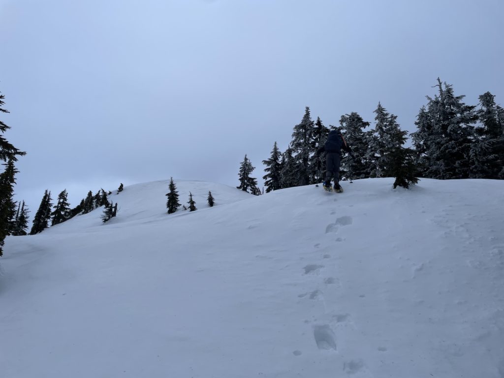
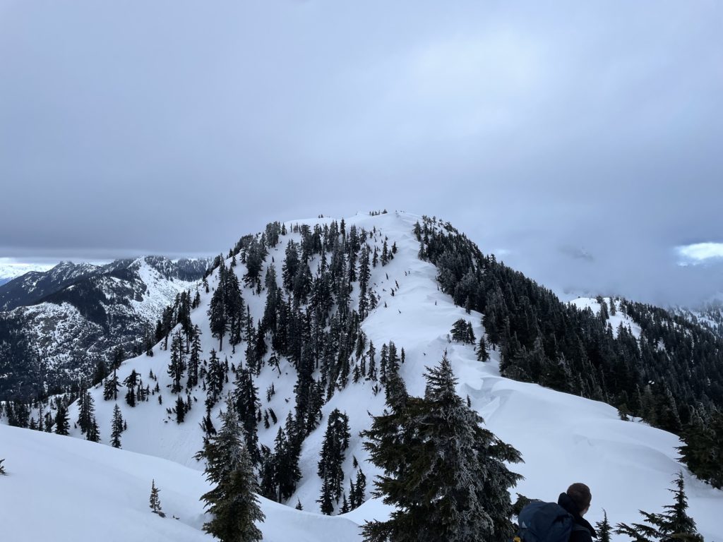
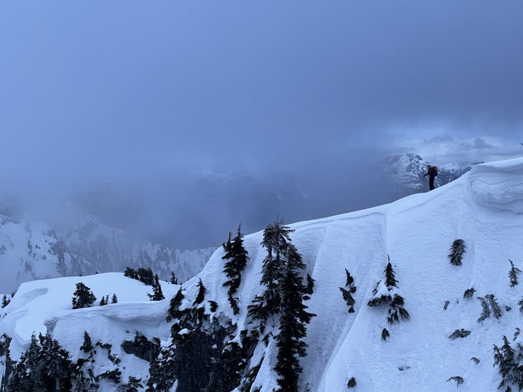
After the short steep section, we reached the beginning of a ridge traverse to the true summit. By now the sun was perhaps 20 minutes from setting, but we had ample light to continue without head lamps. Mike lead the charge up and down the many steep rolls along the ridge. We passed a sub summit of sorts and finally had a clear view of the summit. It appeared to have a quite steep slope guarded by small cornices to gain the summit. A less obvious route through trees looked like the best option, but we’d see when we got there.
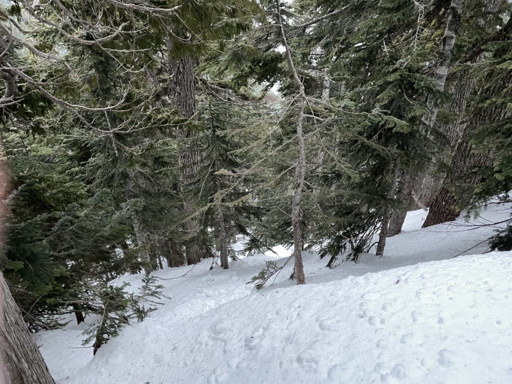
There were a few tricky steps to descend on snow shoes and then we reached the base of the final slope to the summit. Up close it actually looked much tamer, so we decided to ascend just right of the cornices, with a bit of weaving in out of the trees where it made sense. There was one steep traverse at climber’s left that we opted to avoid and I ditched my snow shoes just below this section. A bit of post holing later and I reached the summit with Mike behind me.
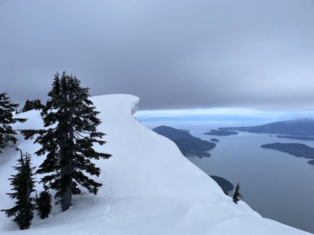
The summit was split out in a sort of horse shoe formation, with the true high point at climber’s right and a lower point on climber’s left. The true summit was heavily corniced and Mike wasn’t super keen to go any further. Where we stood, I would safely consider the summit in corniced situations, but I wanted to see if we could get a cool photo with the gap in between the two high points. So, I traversed up to the high point and around the cornices onto the other side where Mike snapped a few photos.
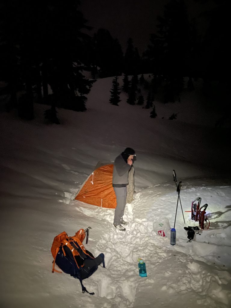
There wasn’t any time to linger after that though, as the sun had set and Mike had spotted a nice camp spot at the start of the ridge. I descended down to my snow shoes and carried them down to the next flat spot. Mike also took his off from the summit until the flat spot. Once we had them back on we reascended those tricky steps and then traversed our way back to the ridge start. Shortly after we had the tent set up and some water boiling for our dehydrated meals. Mike didn’t put enough water in his and had “crunchy” Mexican bean rice. Meanwhile, I put the prescribed amount in and ended up with Chicken Risotto soup. Both gross options, but I was too hungry not too finish. After eating we passed out for a mediocre night of sleep.
Mike’s alarm went off at 6am and we hit the snooze until 6:30. Finally, I mustered the strength to leave the warm sleeping bag and we were packed up by 7am. We both skipped breakfast in lieu of a clif bar or equivalent. Waiting for water to boil in the freezing temps appealed to neither of us. The snow had frozen significantly over night so we both opted for cramp ons instead of snow shoes. This ended up being the right call as we made it down to the col with only a few post holes. Descending hard frozen and steep steps in snowshoes sucks.
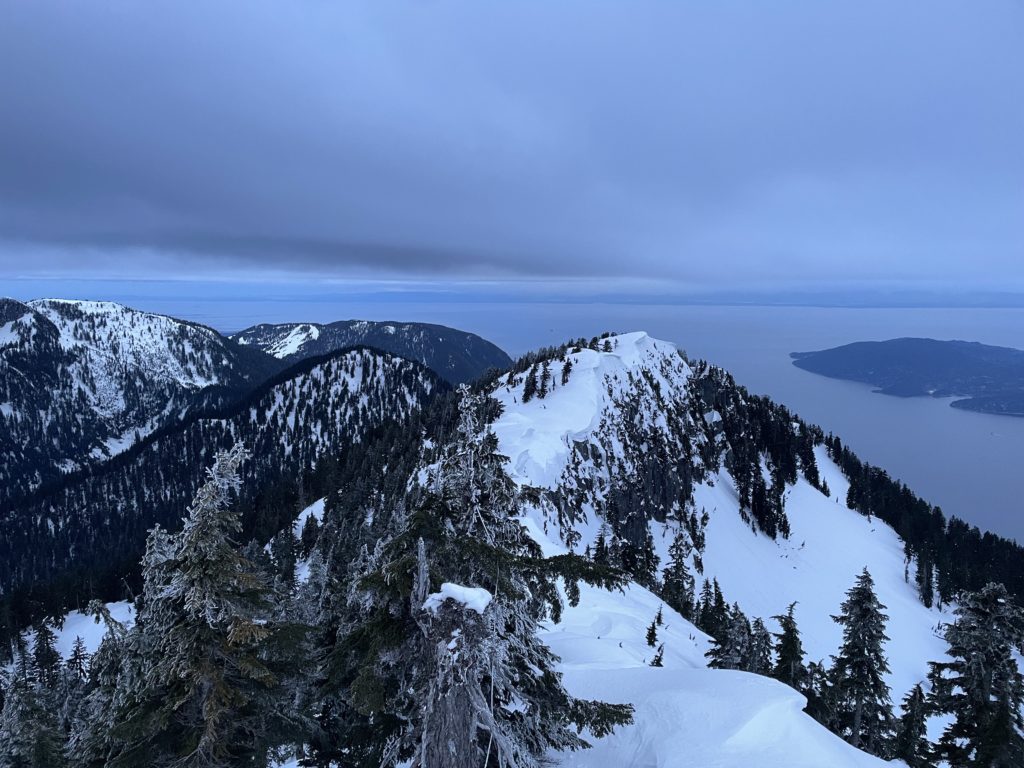
From the col it’s that 170m ascent up to St. Marks and then easy cruising down towards Strachan. With the full snow coverage we skipped all the switch backs and just bombed down a direct line towards Christmas Gully. Then we followed the trail as normal all the way back to the car. We arrived at the parking lot no later than 9:35am with another successful mission under the books.
Overall a fun winter ascent for those shakier avalanche days, but not a particularly exciting summit. The views are much better than St. Marks, but you have to pay for it with a lot of extra elevation gain/loss for a summit that’s less than 200m higher.