https://www.alltrails.com/explore/recording/lago-argentino-hiking-0b7e926
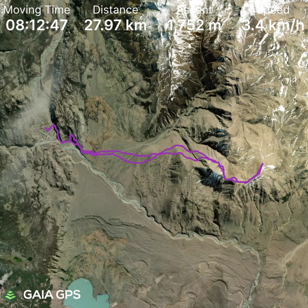
Elevation Gain: 1752m
Distance: 27.97km
Total Time: 9 hours 5 minutes
Date: January 30th, 2022
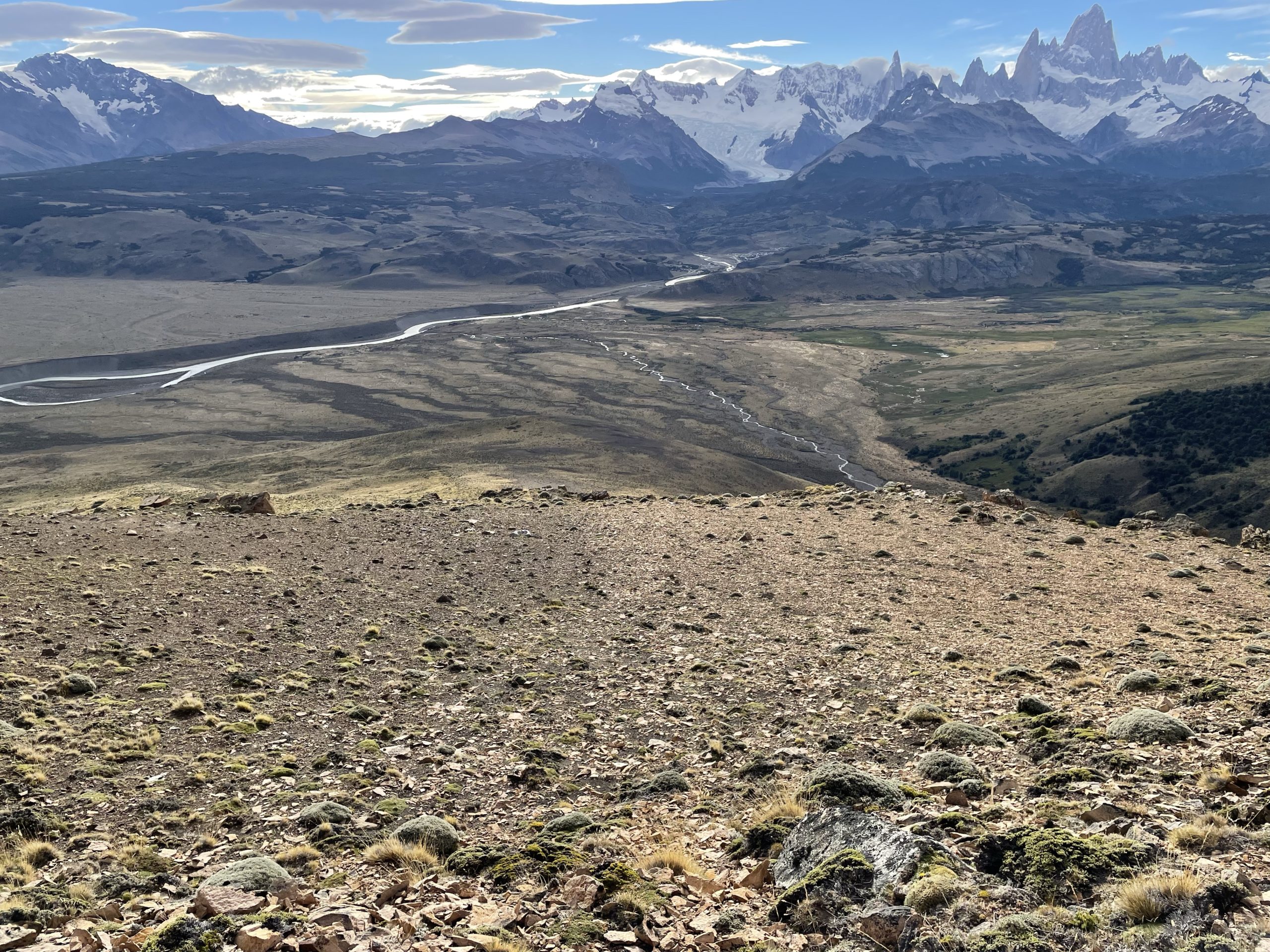
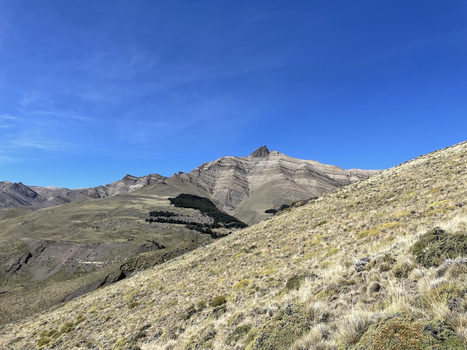
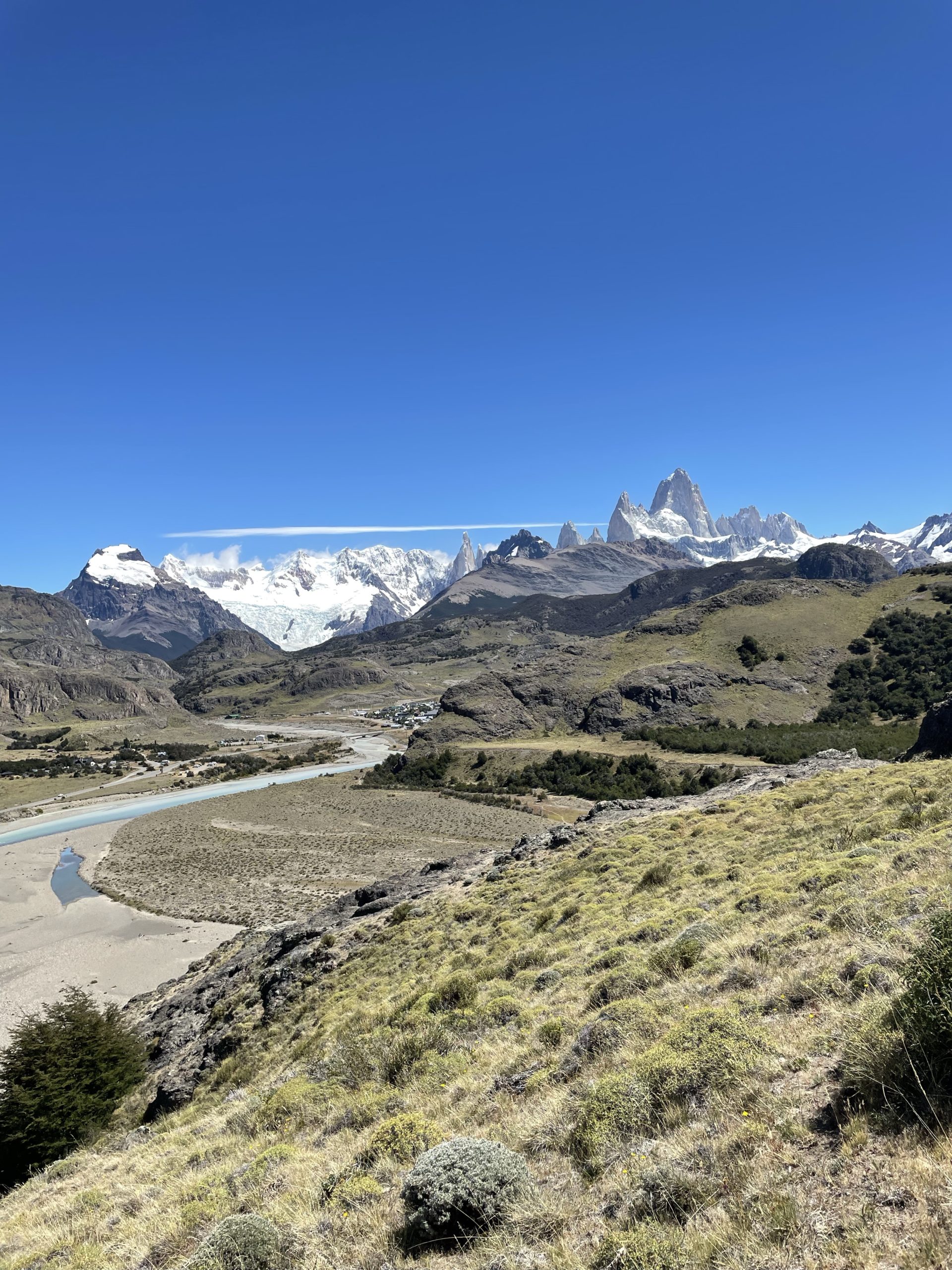
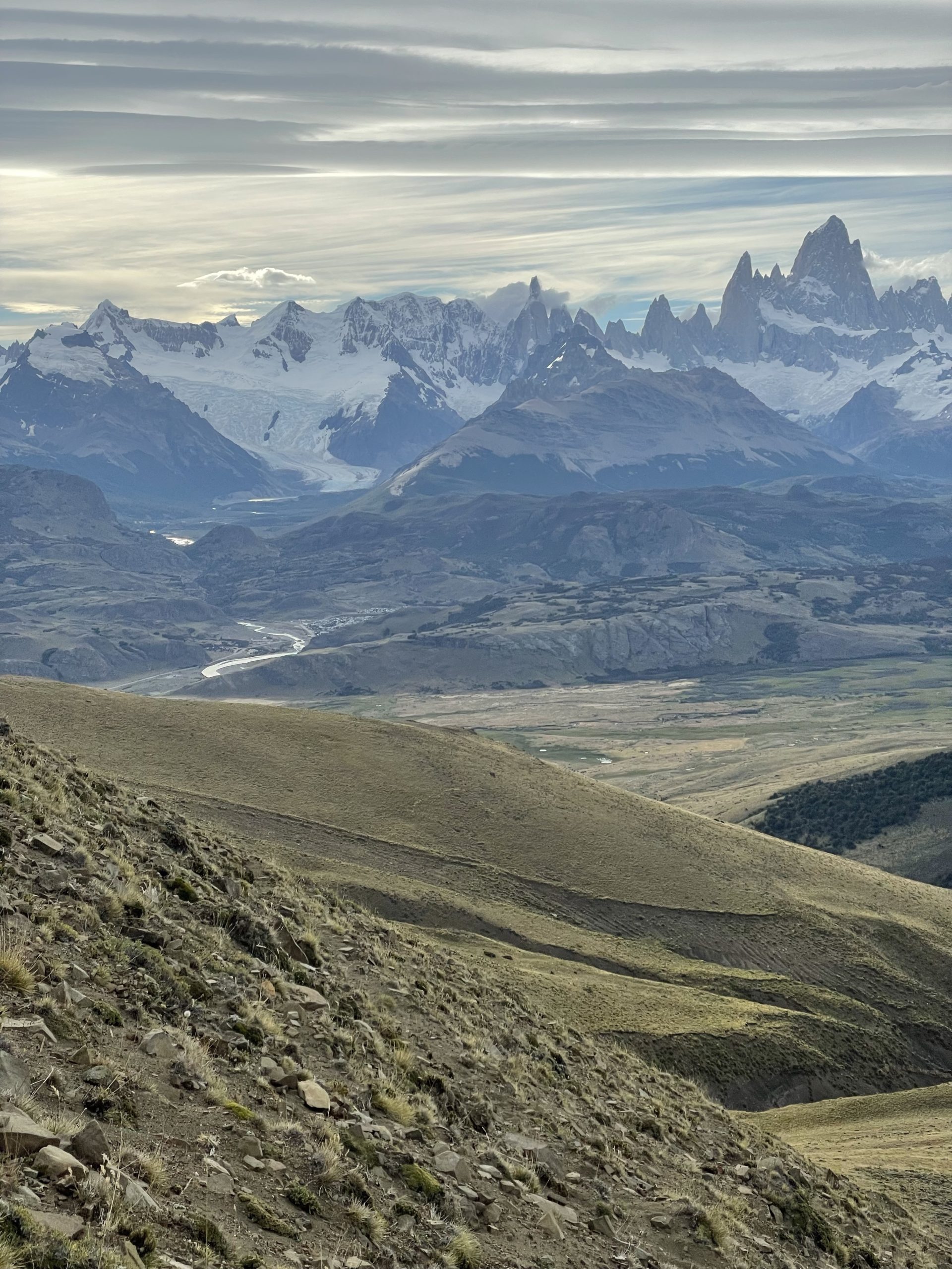
Cerro El Faldeo is an 1803m peak located alongside the highway leading up to El Chalten. I discovered it while looking at a map of the area trying to find something with a different view from the main trails. I could not find a single piece of information online about it, except for a mention by name on Peak Visor. All that I had to go off of was map marker and some distant views from the mountains around Fitz Roy. That made it all the more interesting to me though and after summits on Madsen and Mojon Rojo I was looking for a different challenge.
Jacob had to go into El Calafate for some personal business on the 30th of January and the weather was looking passable. I didn’t want to waste a weather opportunity and so pulled the trigger on doing this particular summit solo. I did some research with the maps and satellite images and figured there was a good enough route if I followed the western most ridge and avoid the incredibly steep looking eastern ridge.
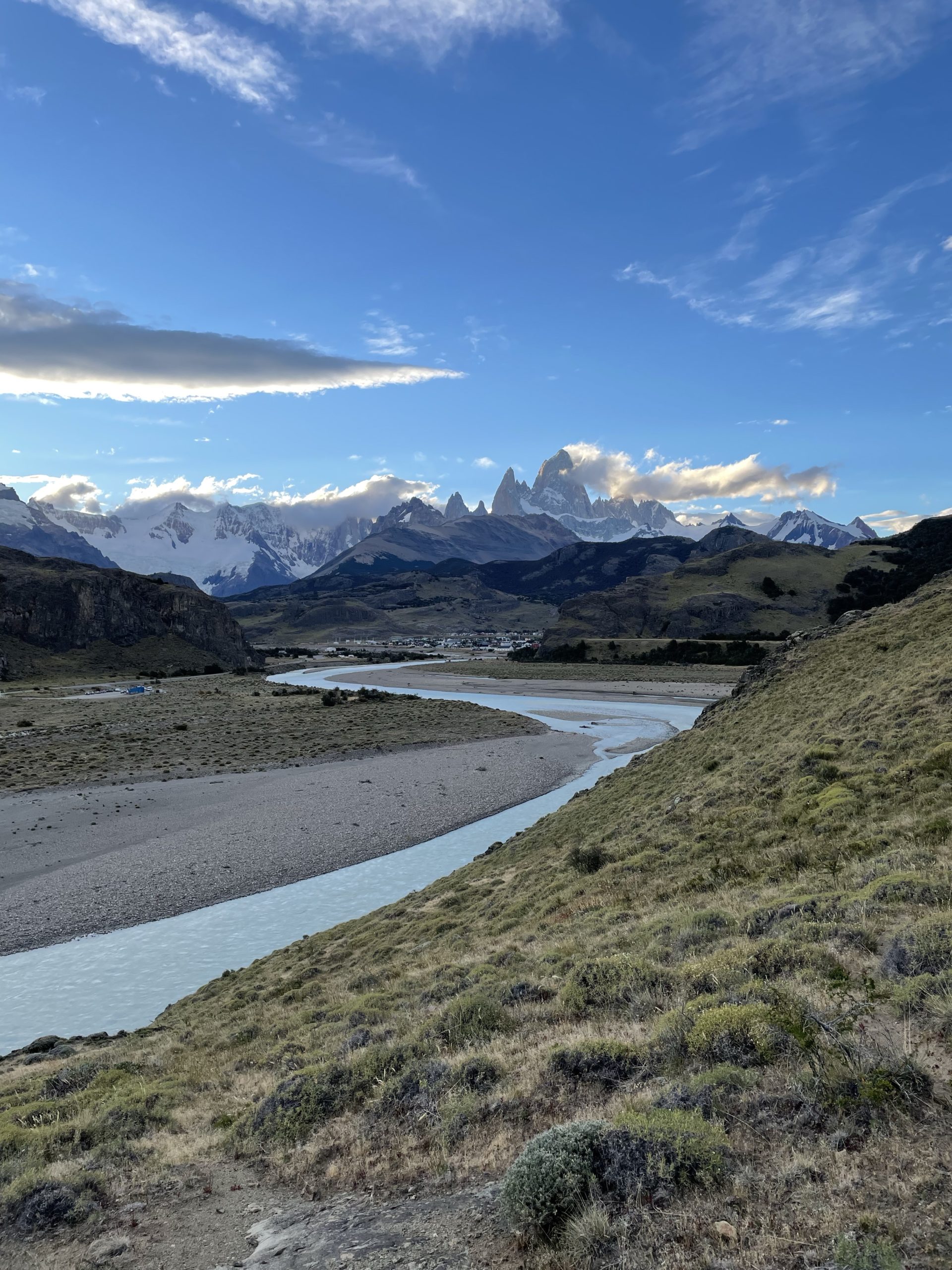
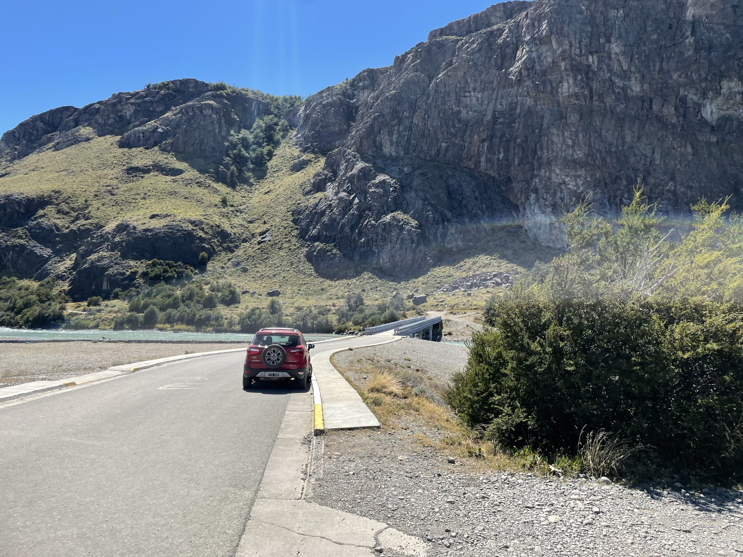
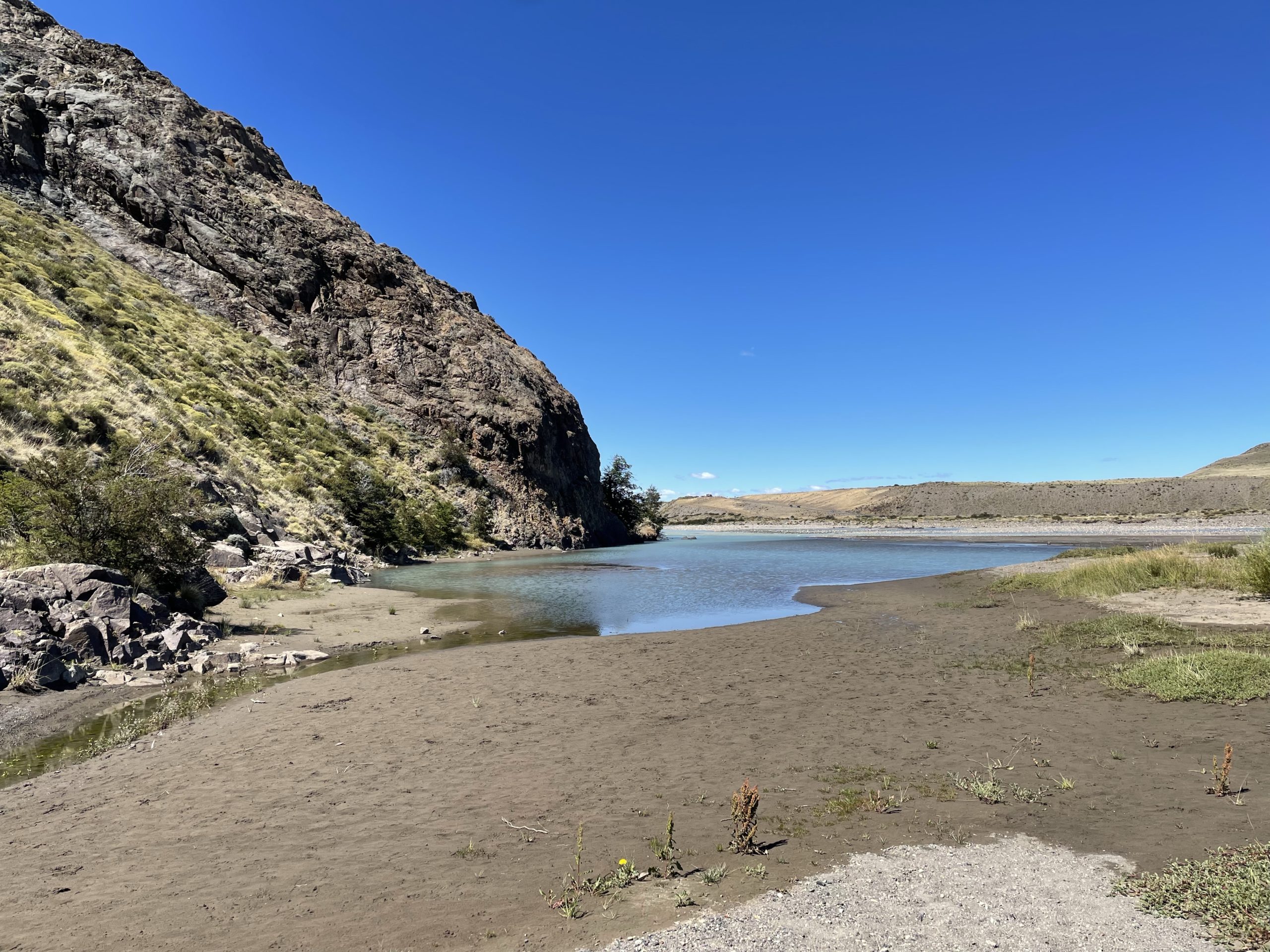
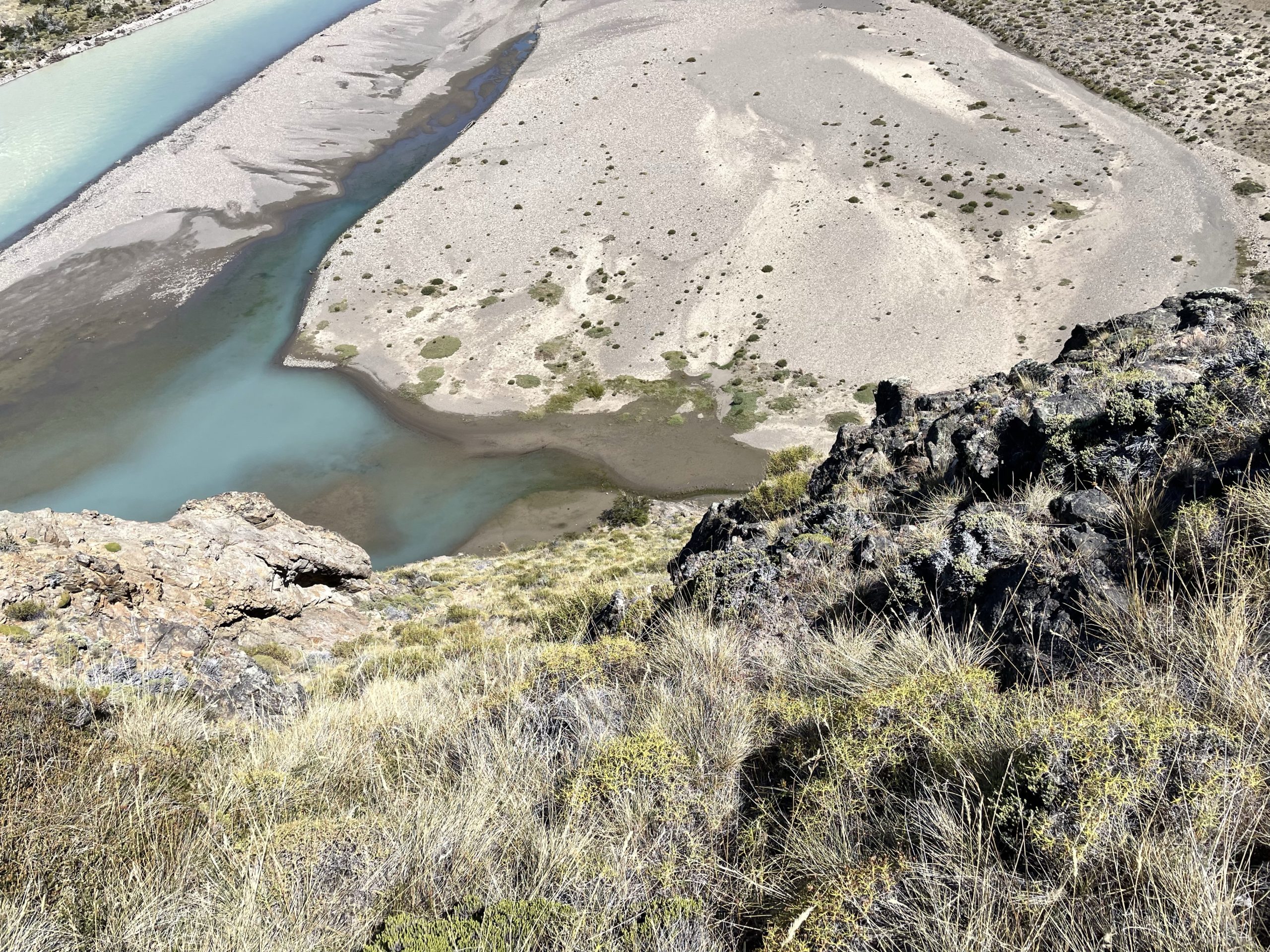
With that I decided on a leisurely start for the 30th thinking it’d only be around 24km round trip with 1400m of elevation gain. On the day of got going around 12:30 and crossed the bridge to the other side of Rio de Las Vueltas. I followed a small foot path along the east side of the river as I had seen from satellites there’s no easy way to cross further from town. The path lead me all the to the edge of the river where it cliffed out.
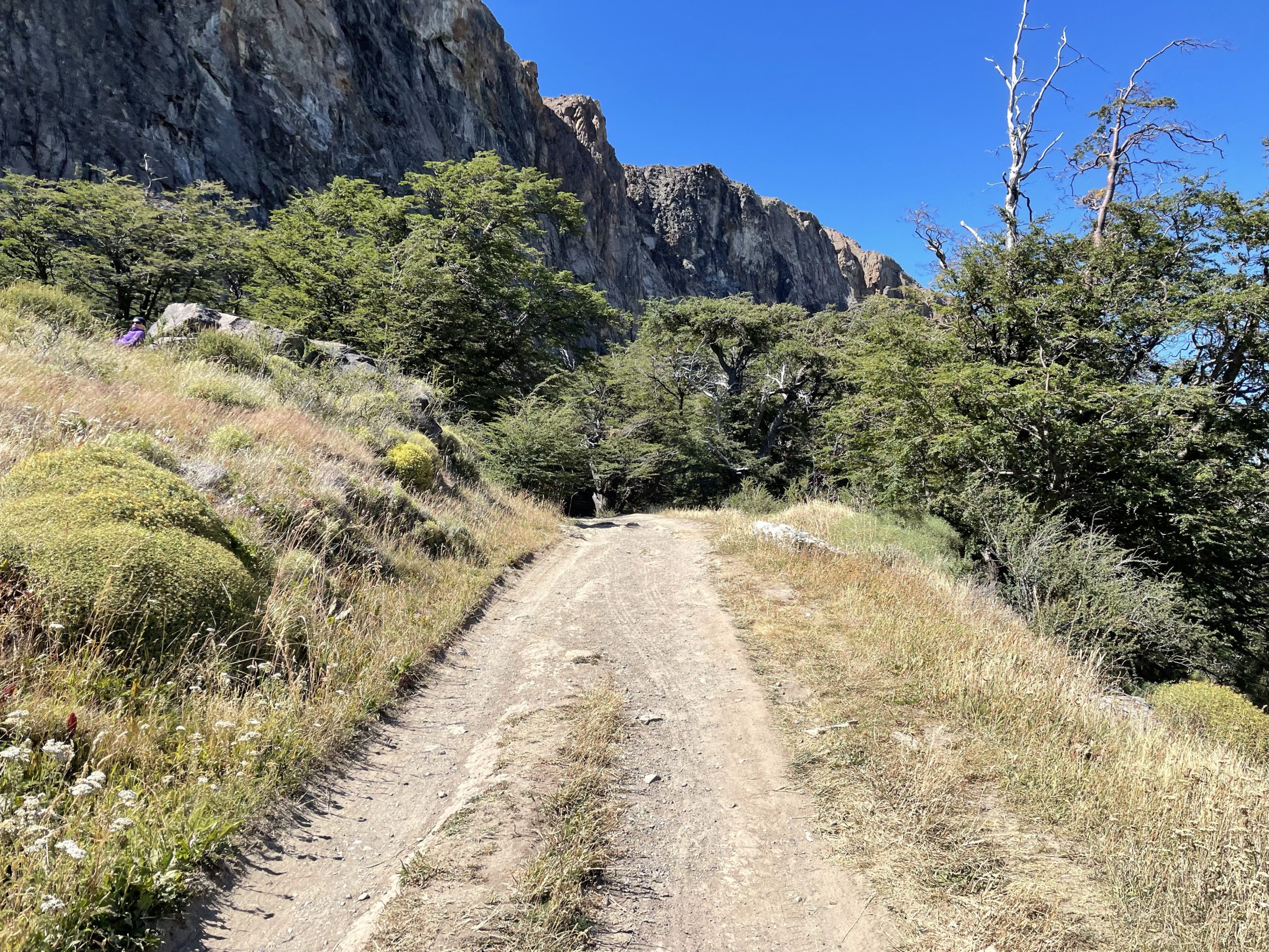
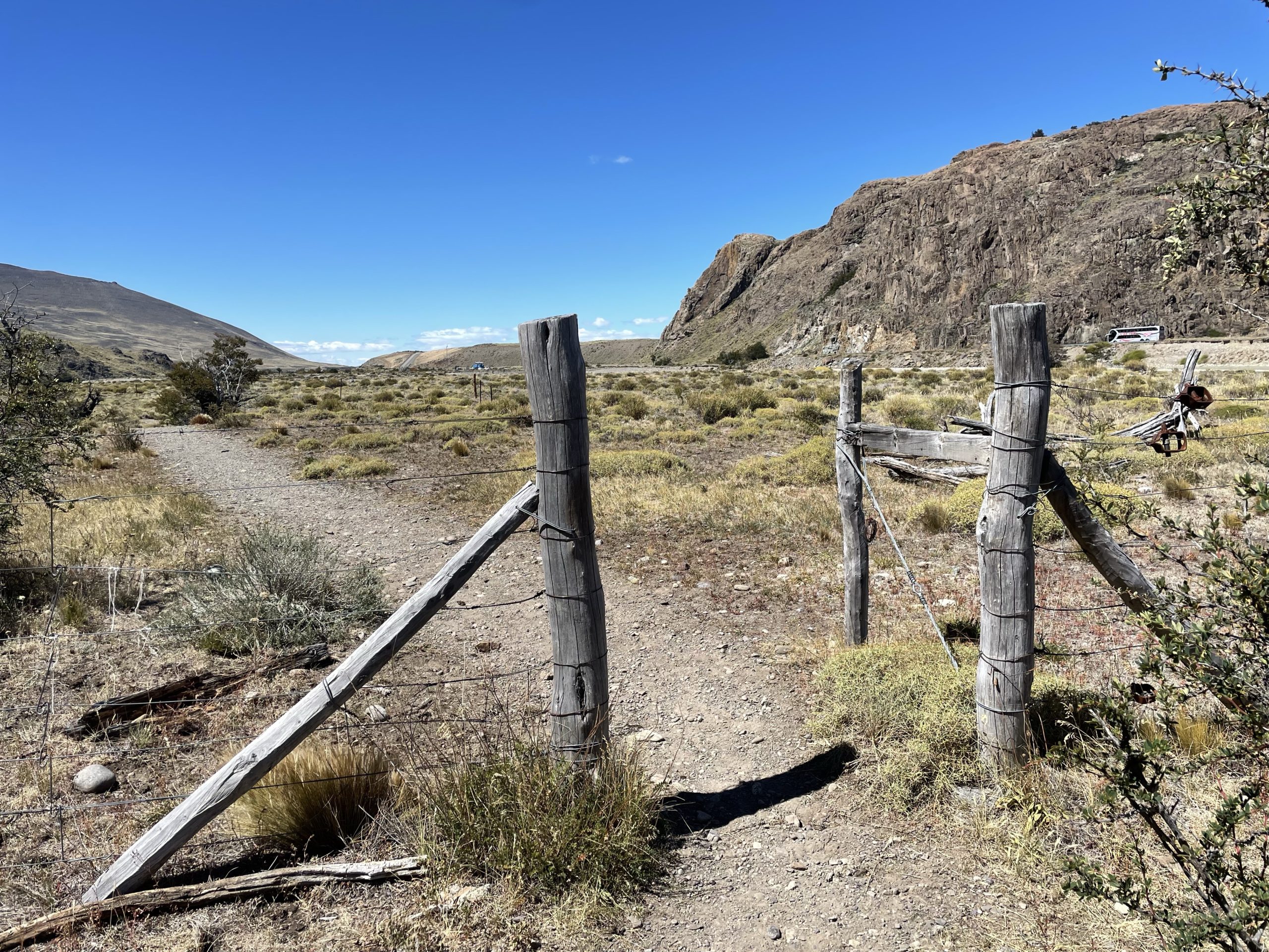
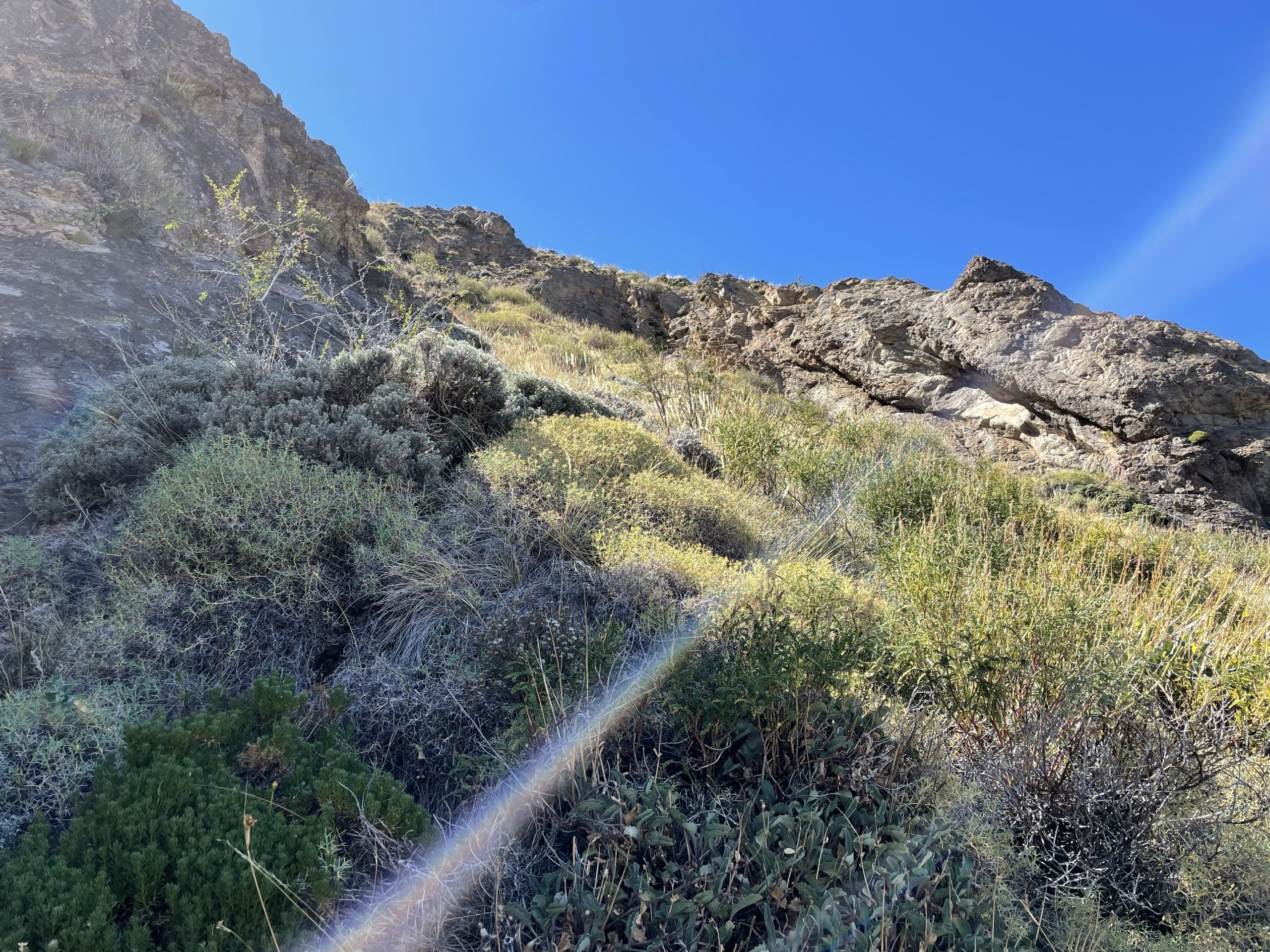
I decided to bush whack up the steep slopes around the river and when I gained the top there was another foot path. I followed this path down and around the cliff band until I reached a big expanse of field/ranch land that laid before the base of El Faldeo. I had looked online, but could find no info on the status of this land. A best guess is it’s private ranch land, but I was prepared to play dumb if someone approached me.
The plan now was to aim directly for the base of El Faldeo and ascend up the slopes to gain the west ridge. So without much thinking I started my across the ranch land. First through some dense grass land and then out onto an open marshy field. As I walked further in, the field became more and more saturated until water was breaching the top of my shoes with each step. I had to bail out and looped around to the west 20m to find dry land again. Once on normal ground again, I continued my straight push across.
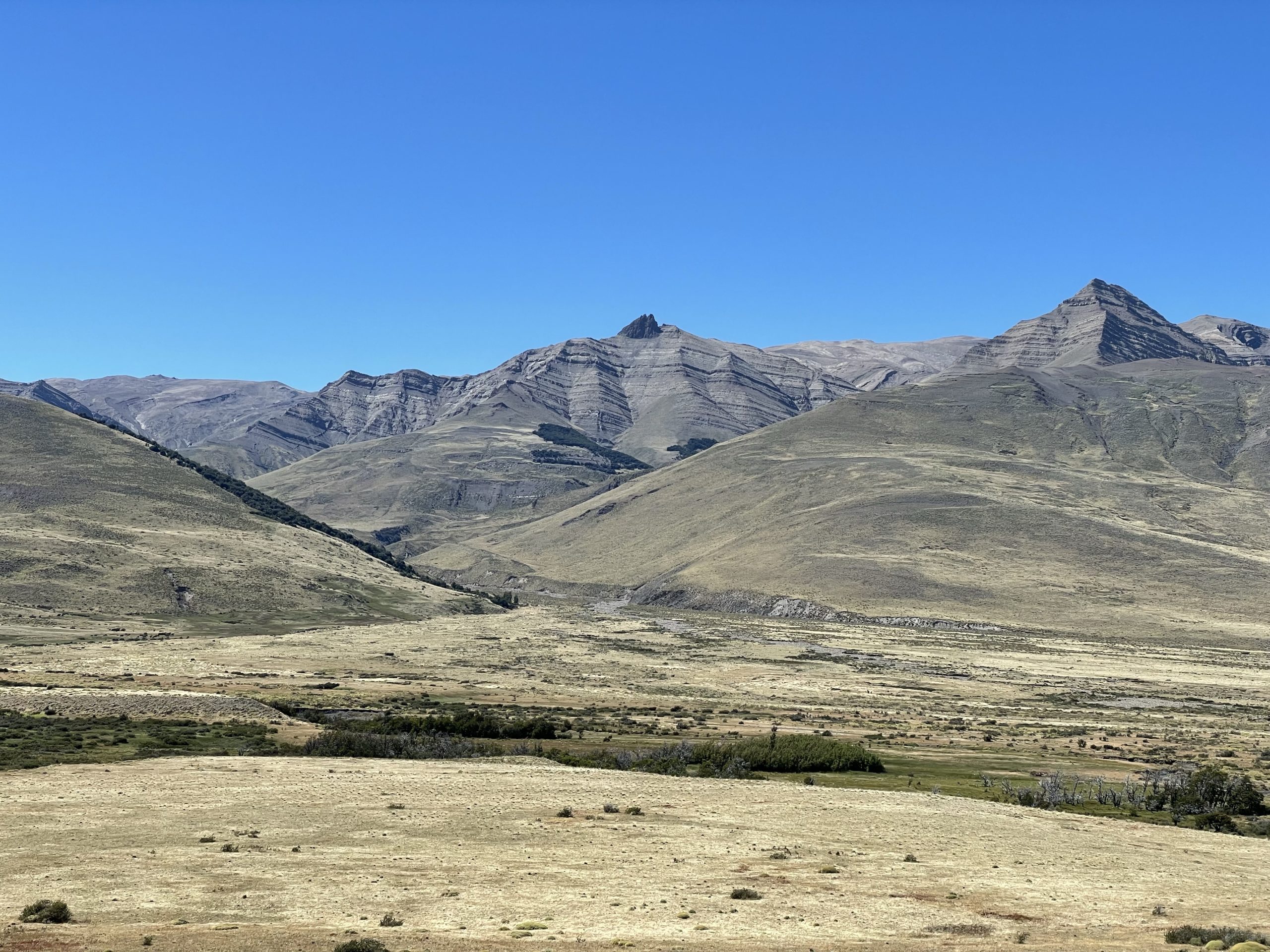
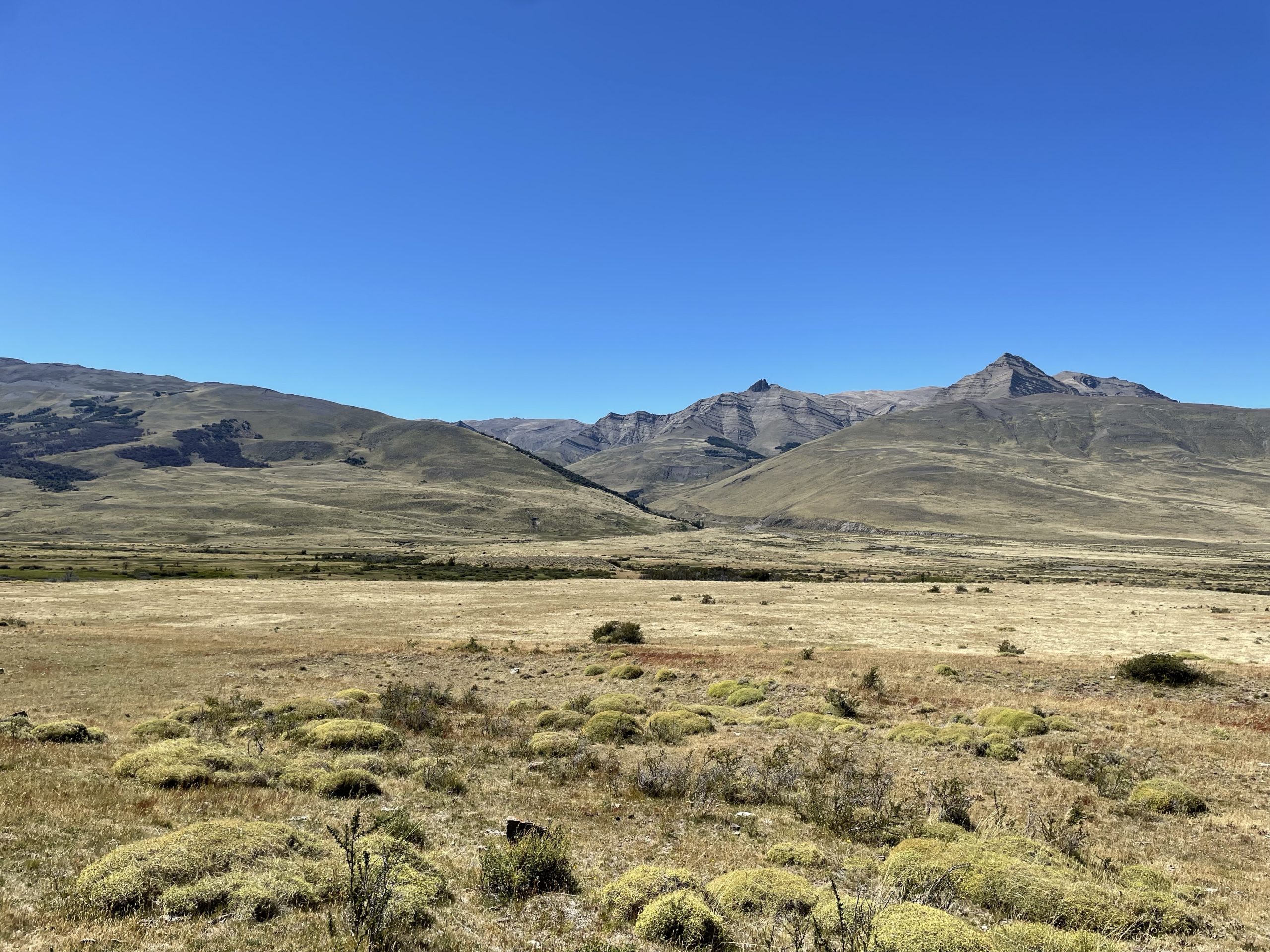
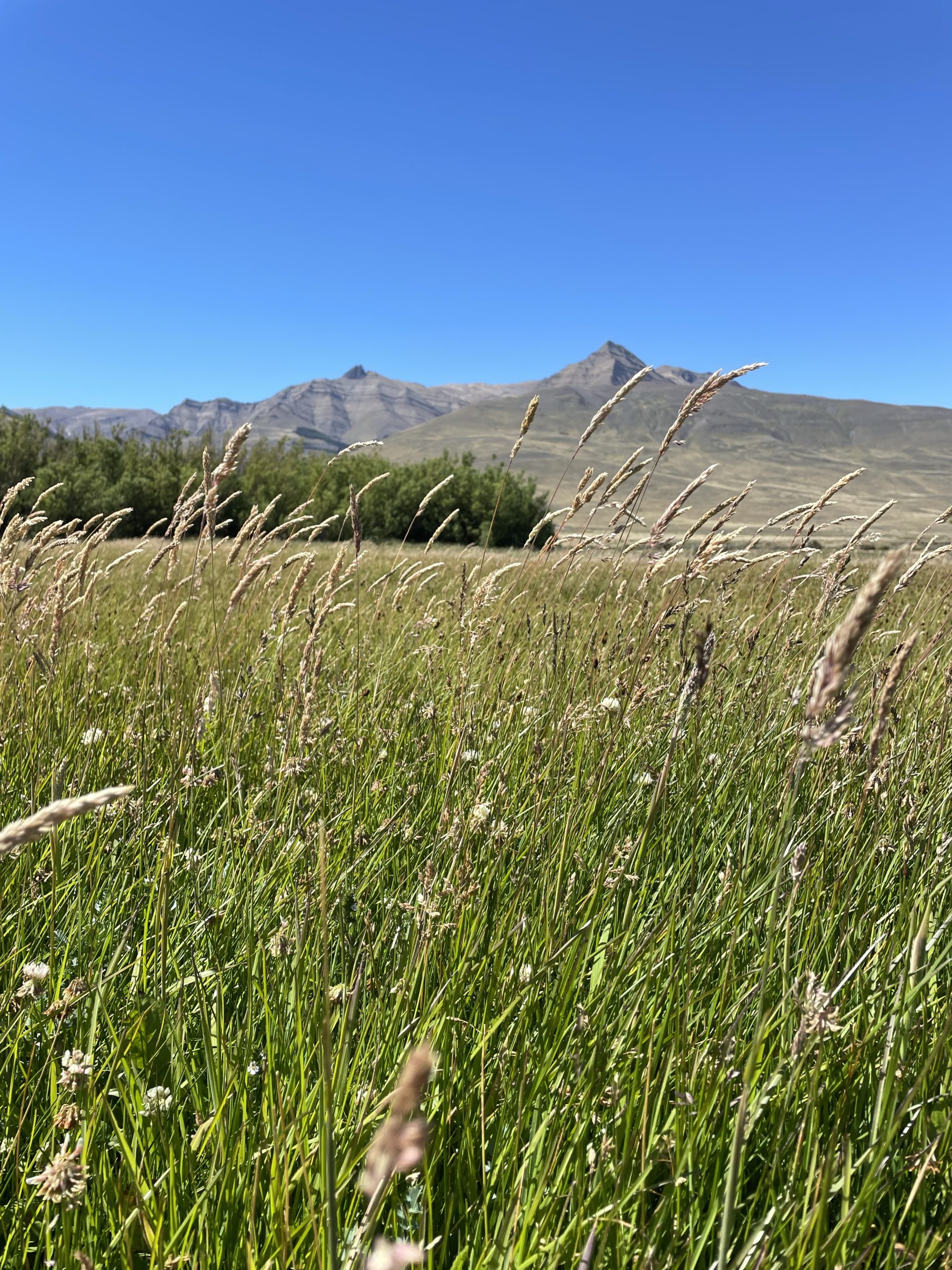
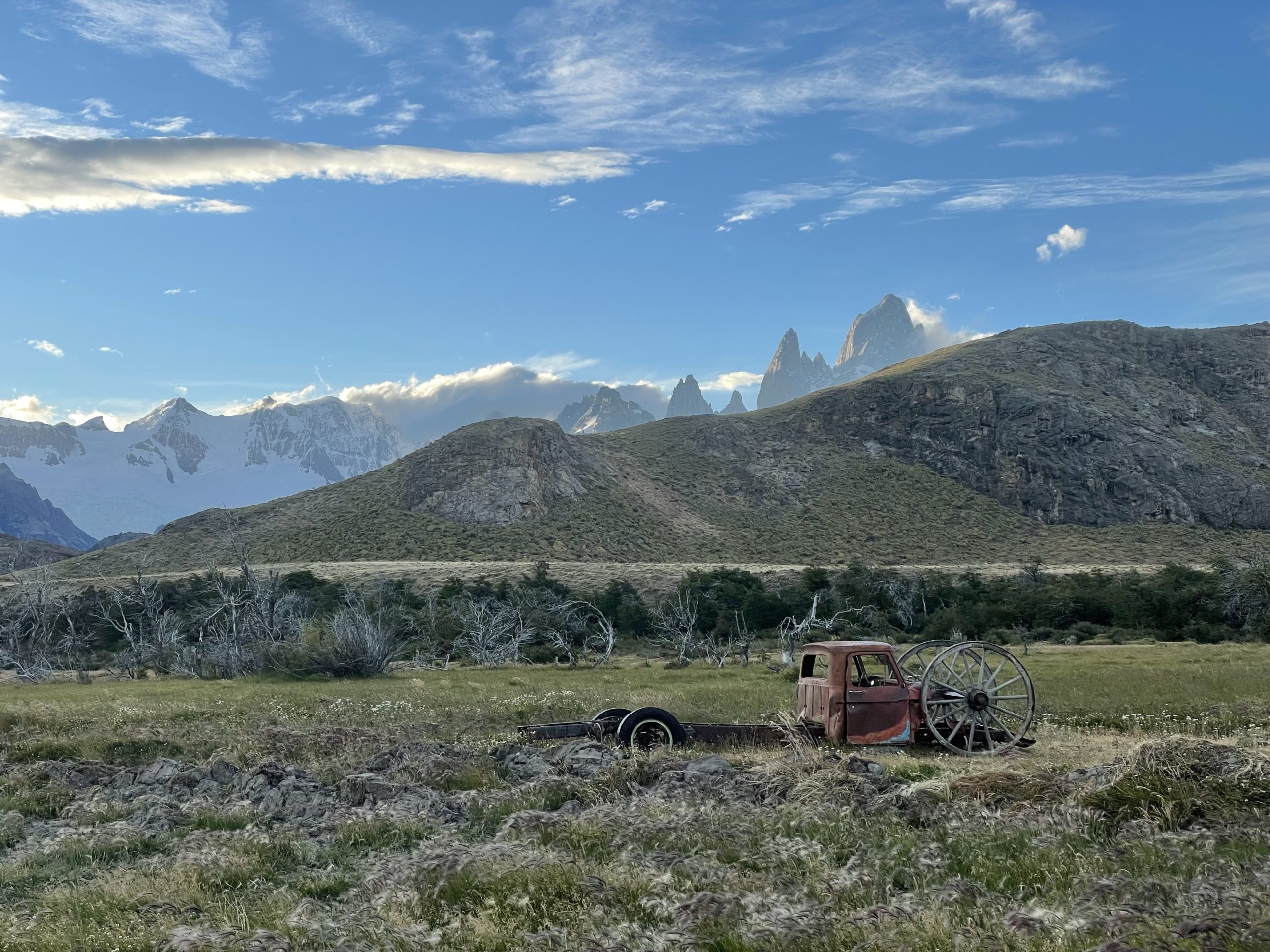
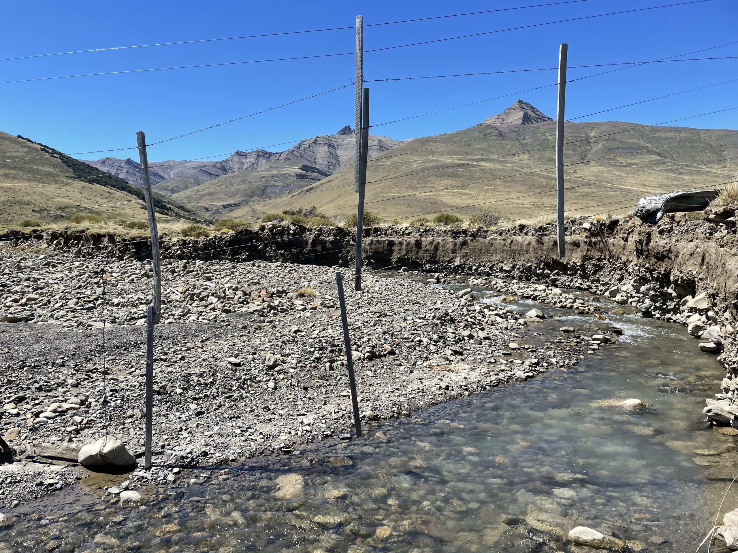
About half way through the plains, I encountered a small river that was segregated by a fence. By some luck I arrived right at a gap in the fence that enabled me to easily get around and continue on. There were quite a few groups of horses, cows and guanacos in the area so I was really unsure what this land was used for. Nonetheless I pushed on and after a very foreshortened crossing, reached the slopes of El Faldeo at last.
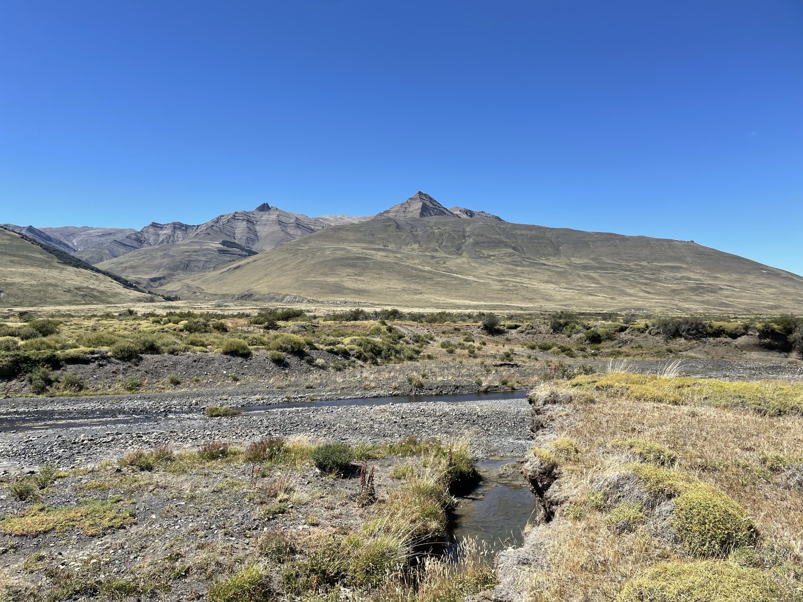
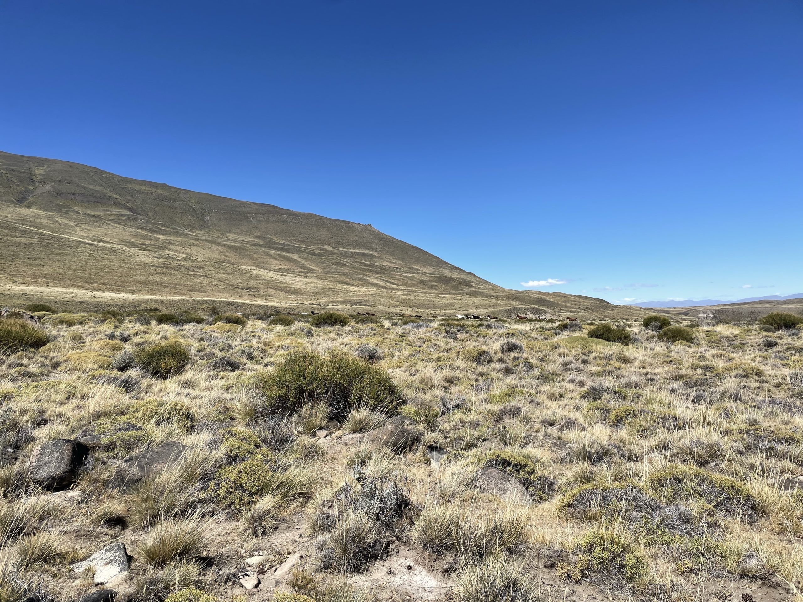
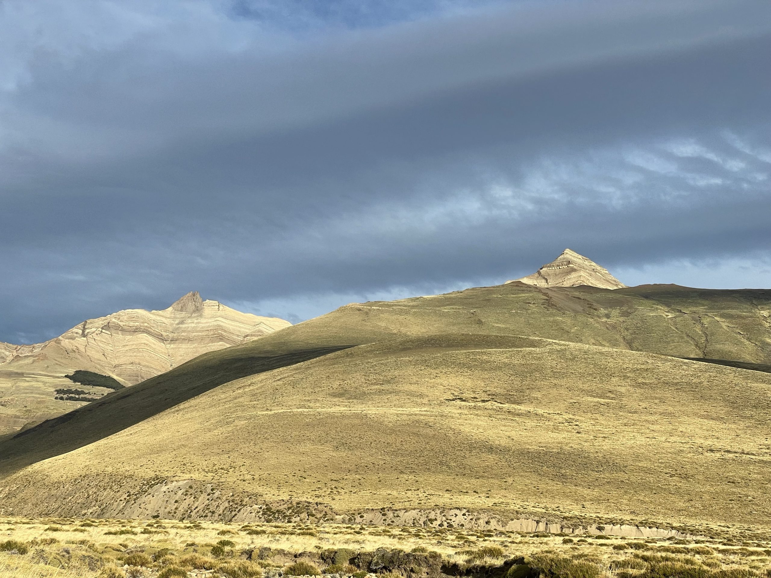
Now I ascended a few hundred meters to gain a bench on the slope. I couldn’t get a good view from my vantage and decided to cut diagonally across the slope for a better look. Part way through this traverse I started to question the route as the summit appeared to be this large tower guarded by bluffs and loose rock on the east side. I debated turning around because it was a couple hours at least to the summit and to arrive and not be able to climb the last bit would be a waste. Still, my curiosity bested me and I kept pushing on for a better view. Around every bend another roll or ridge would block my view of the route.
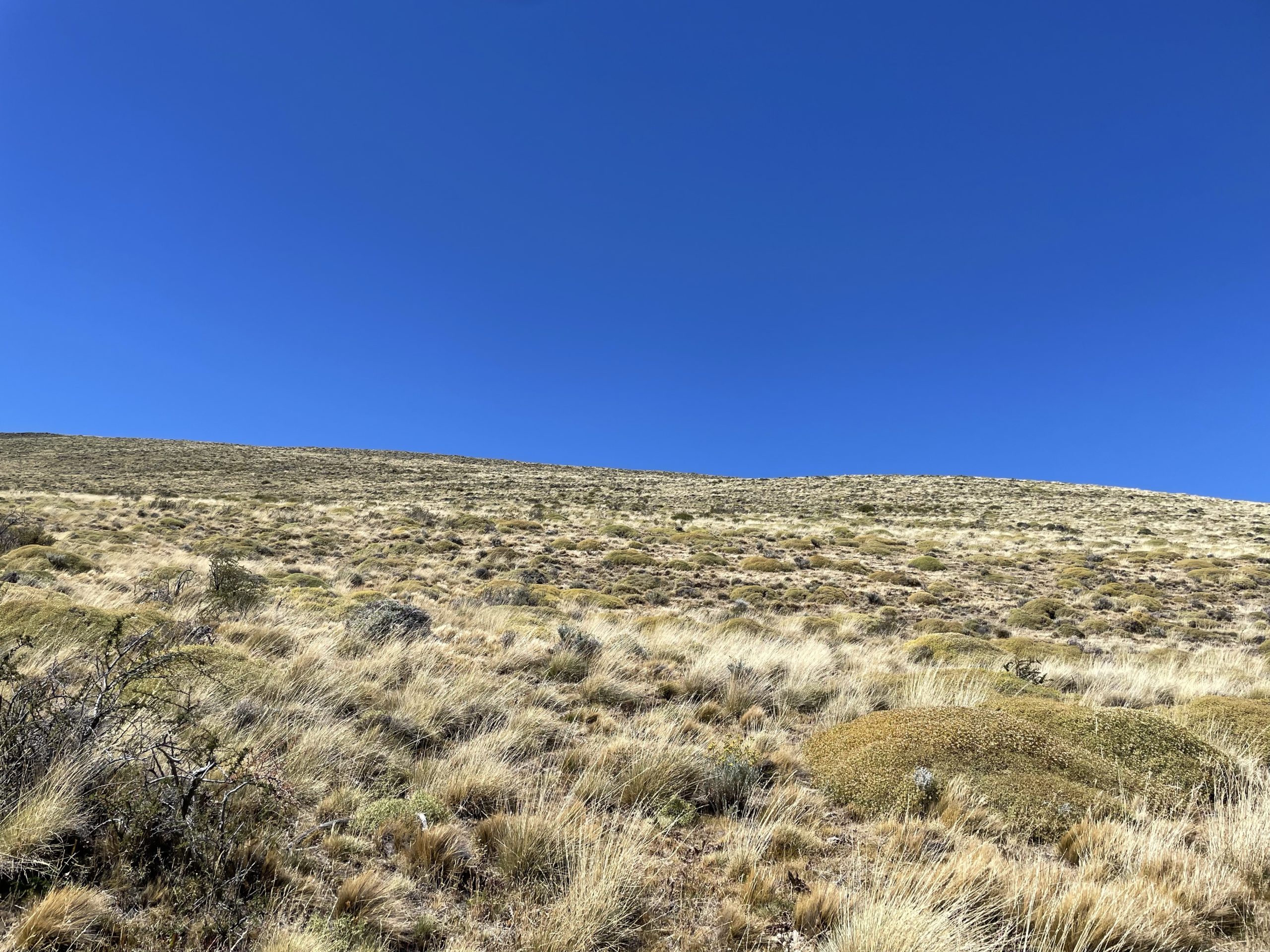
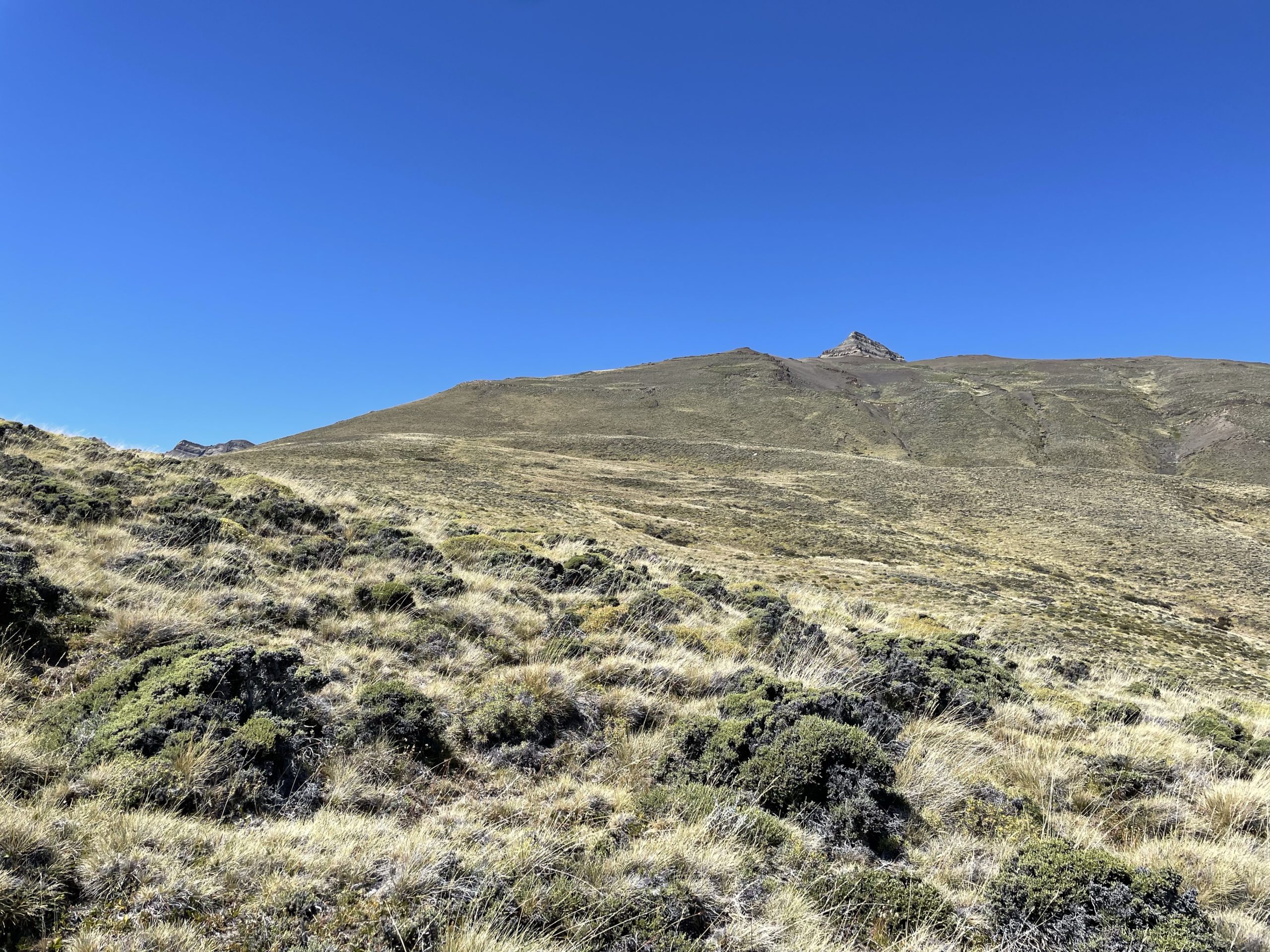
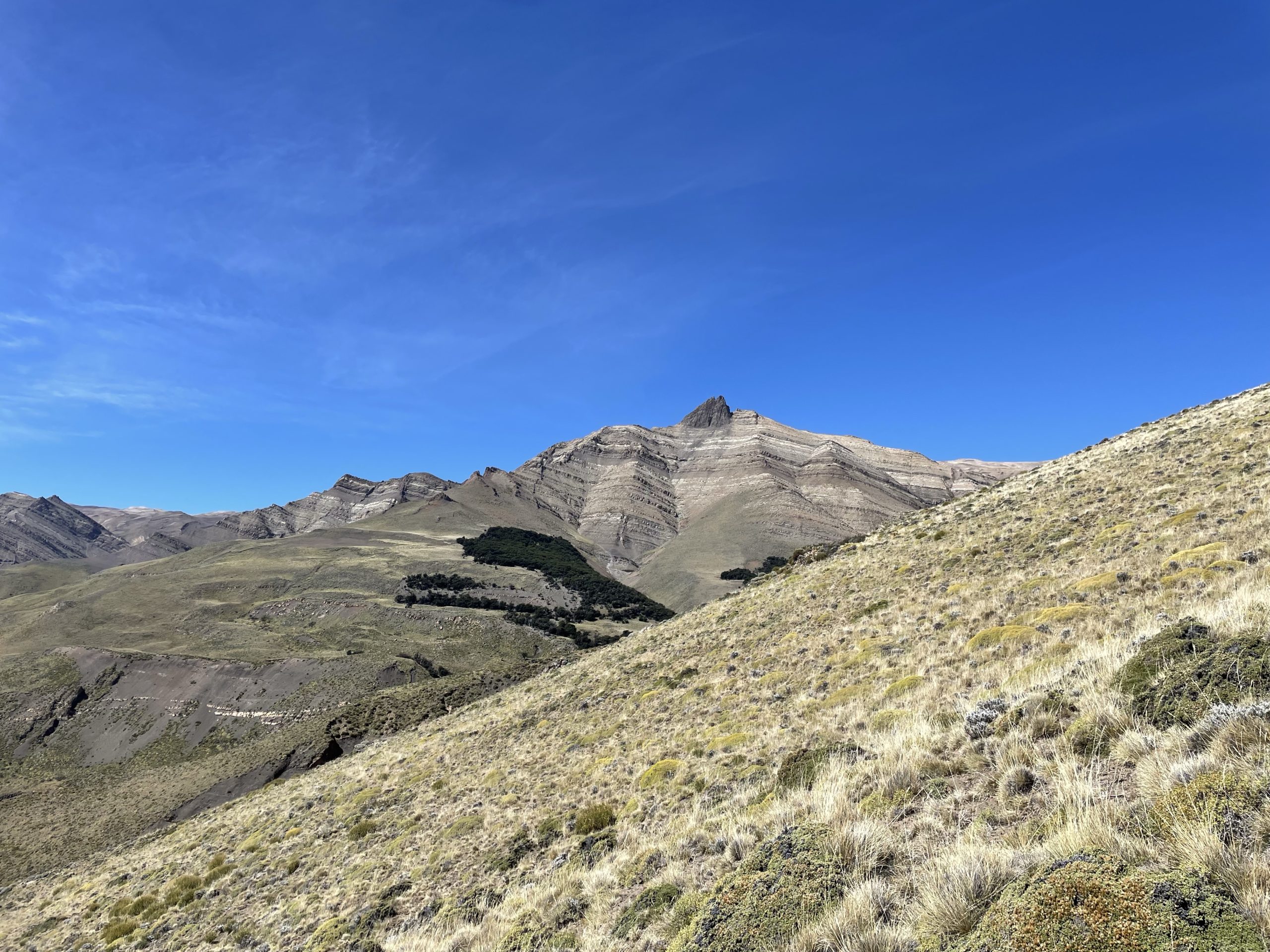
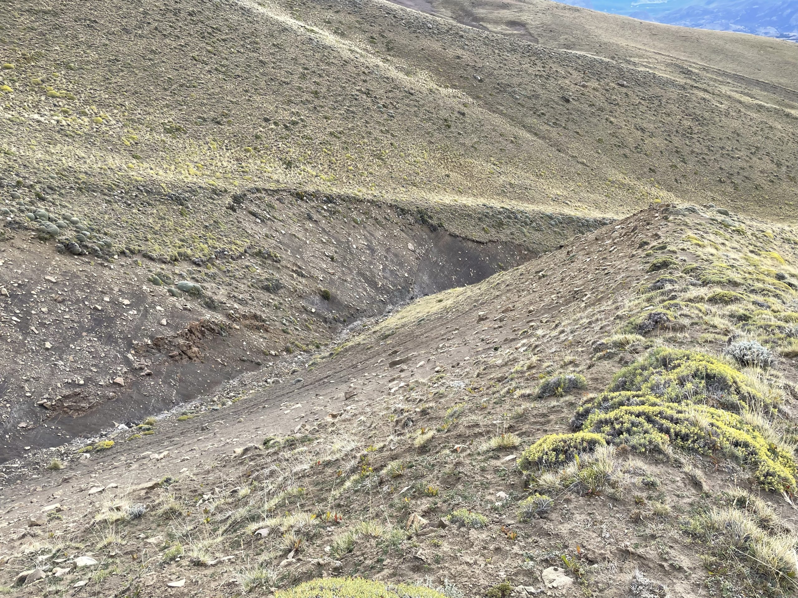
Eventually I reached all the way to eastern most part of the ridge. There I was able to rule out the gnarly tower as being the summit. Instead I could see the true summit was a rounded hill deep down the ridge line. I decided to commit and started looking for the best way to gain the ridge. Ahead of me was a steep gully carved out by water. I had to ascend higher to find a crossable section and it ended up being a bit sketchier than I would have liked.
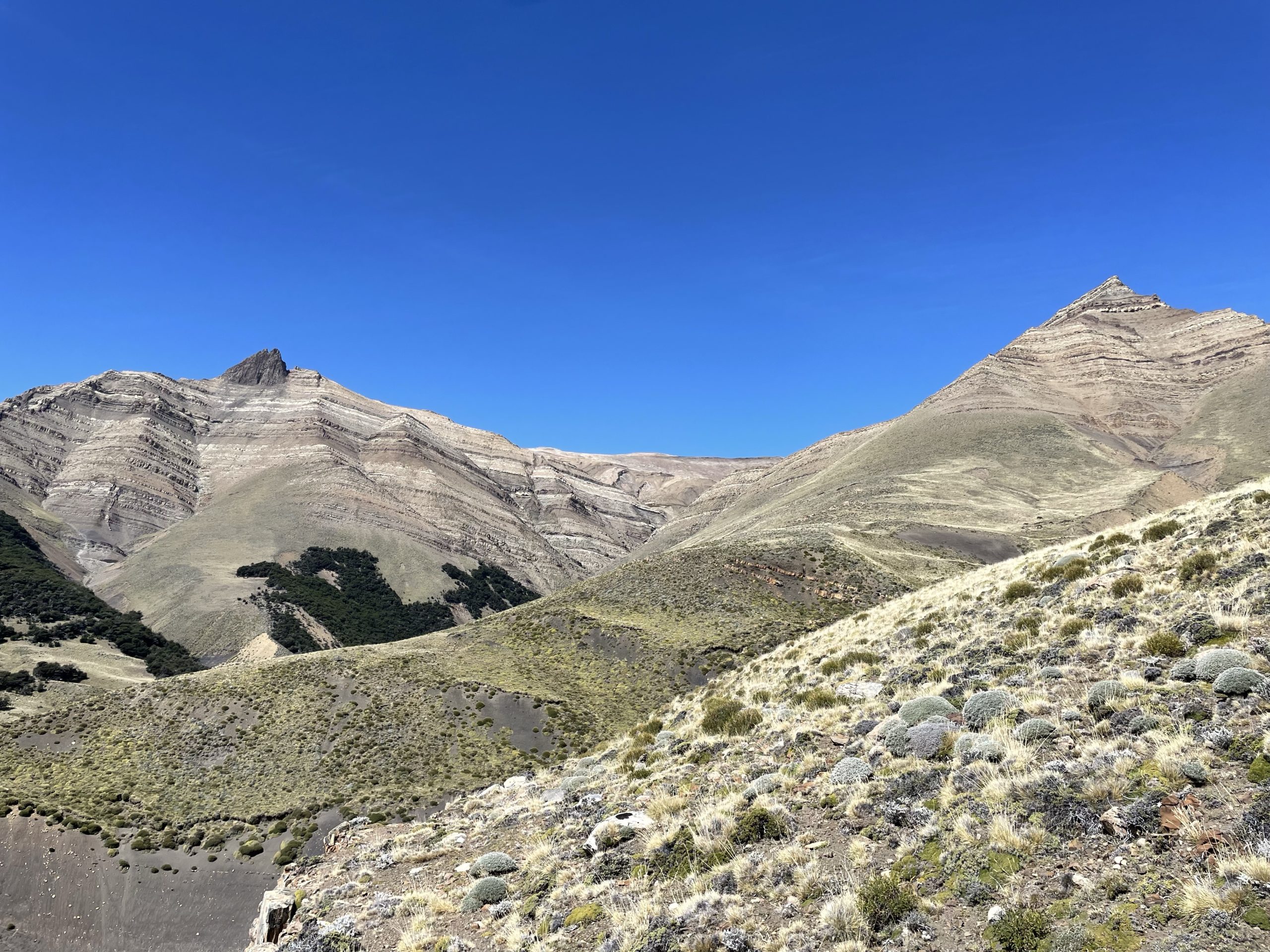
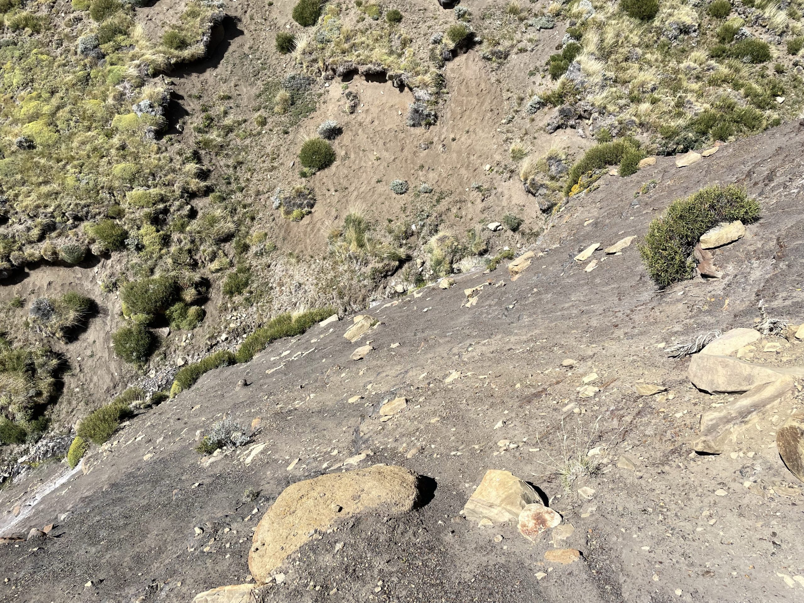
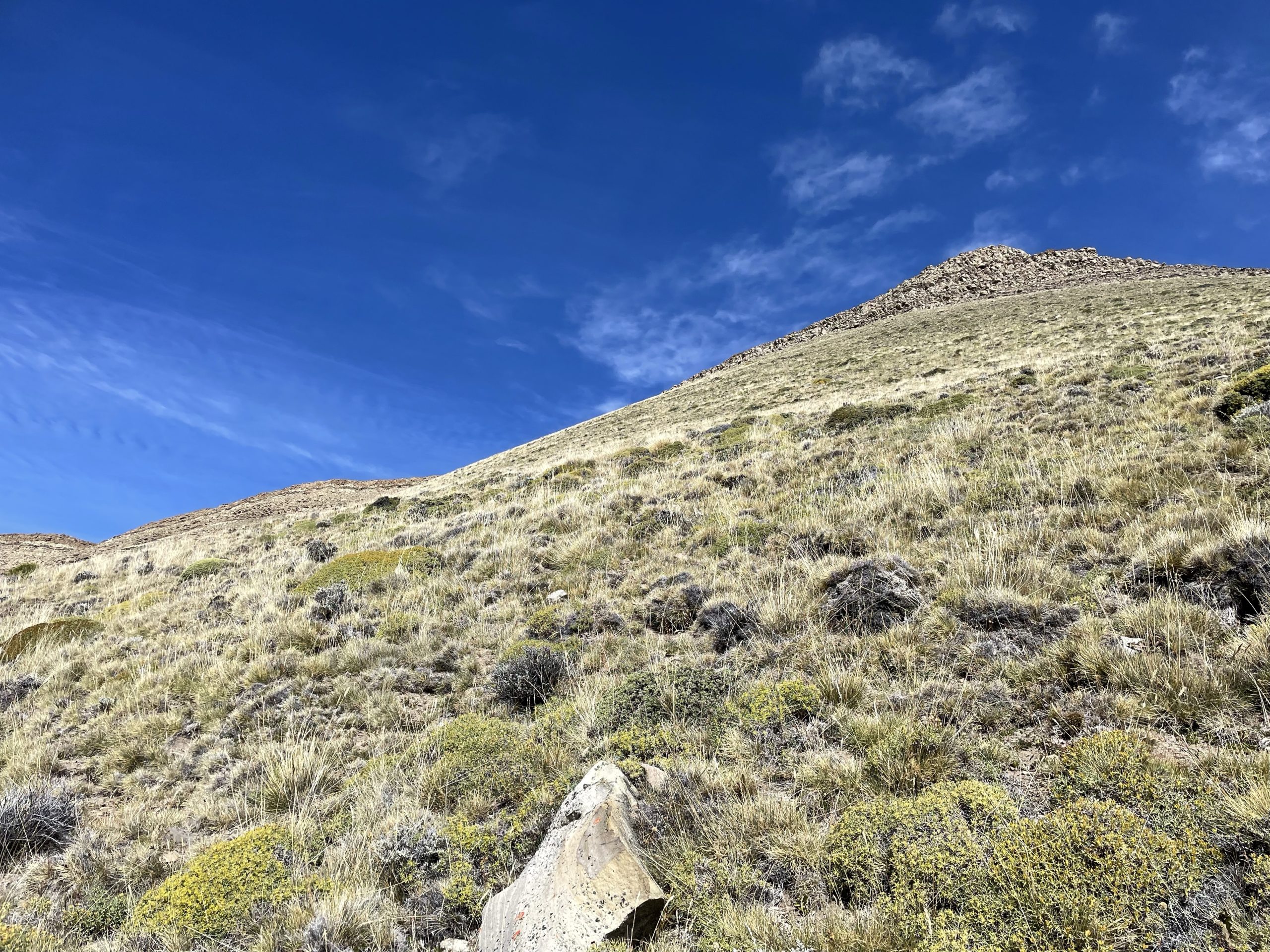
Once across the gully I could see a short rock band above steep grassy slopes that guarded the ridge. I ascended up towards the band and was able to find a way through fairly easily. The trick was to avoid going too high up on the ridge at first. After climbing through the step there was a nice flat section and then another bigger cliff band. This band had an obvious weakness and went directly for it. As I climbed up through it, I spotted cairns at the top. That confirmed that there must have been some summits or attempts in the past few years.
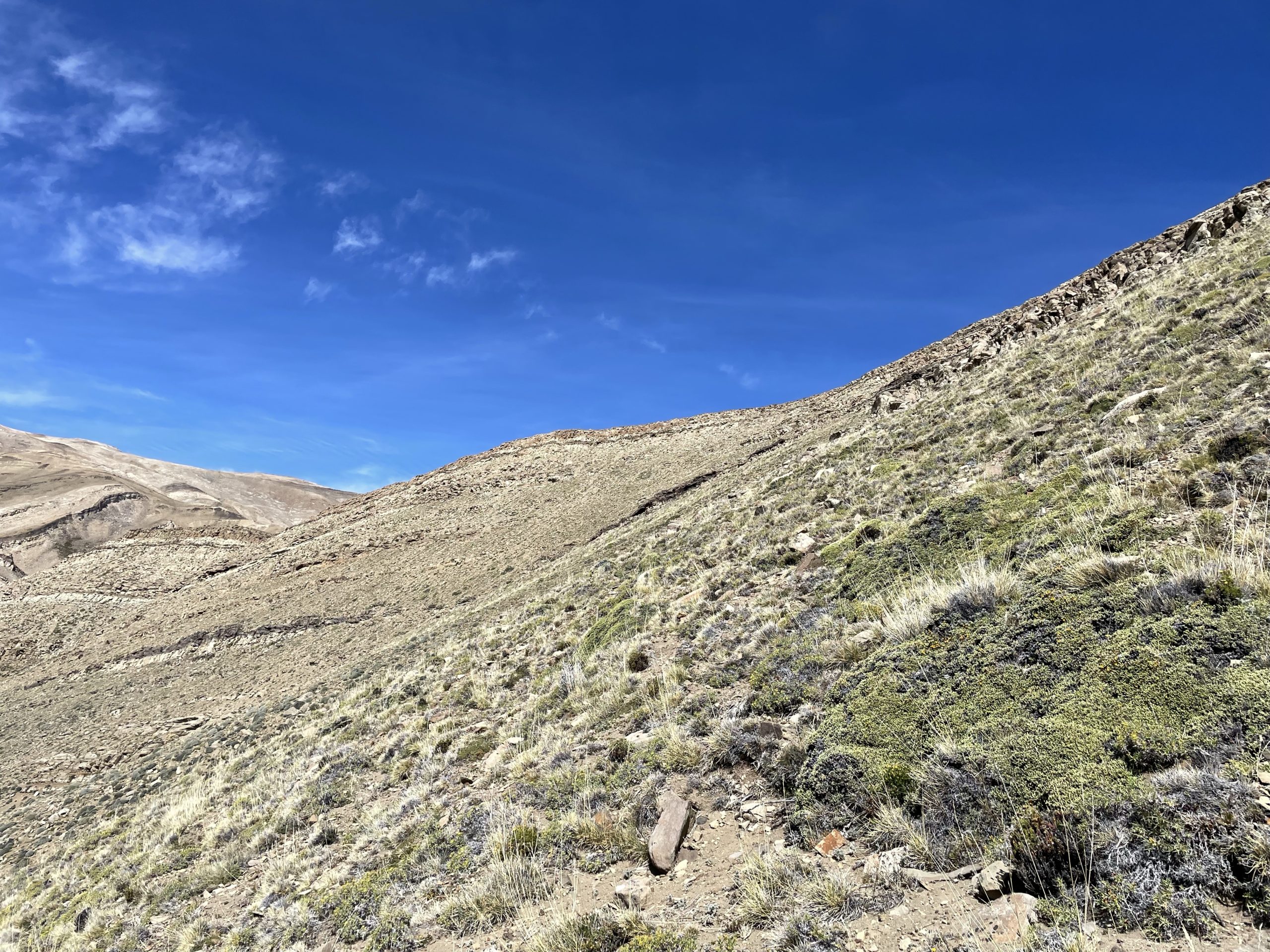
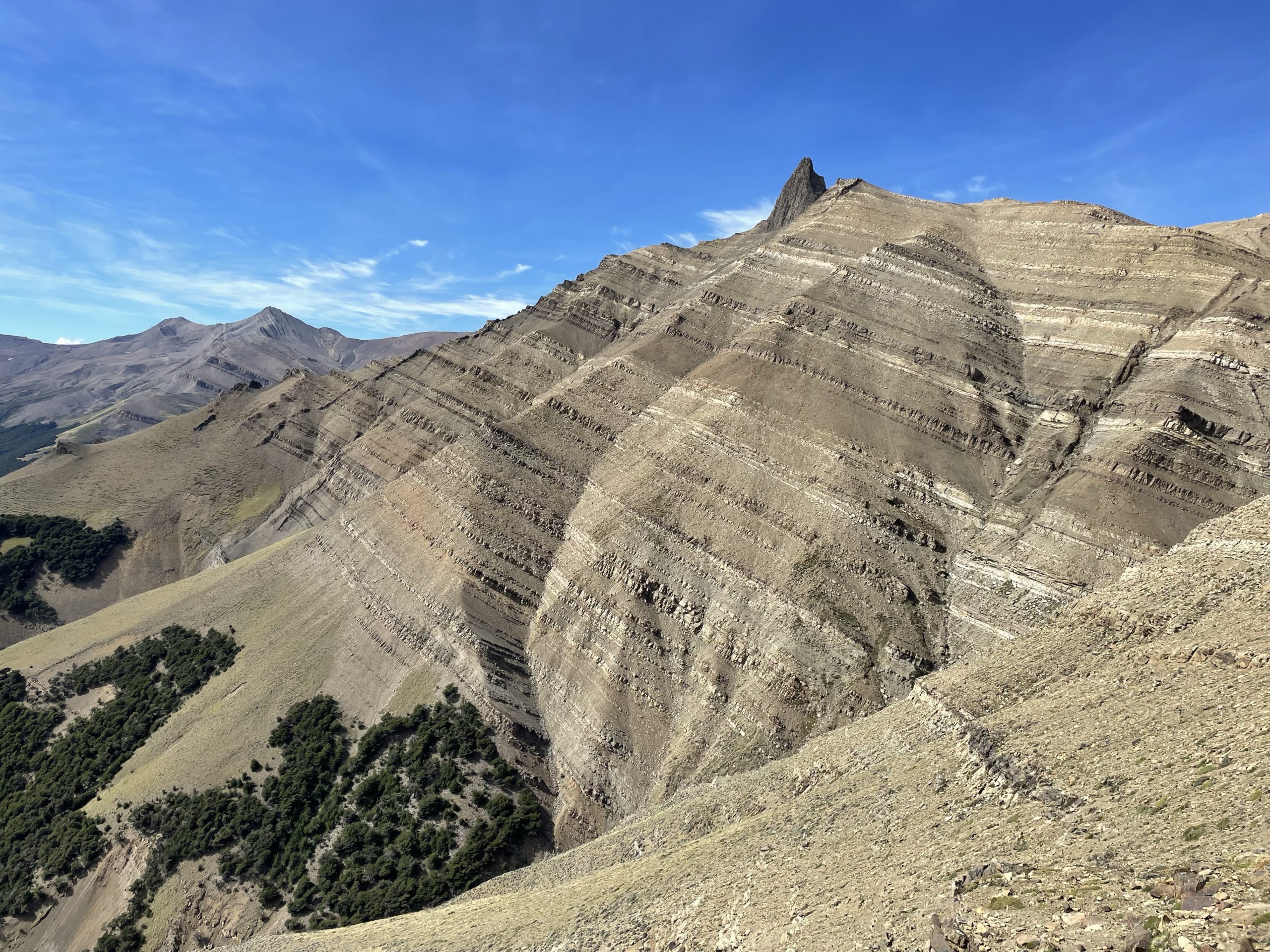
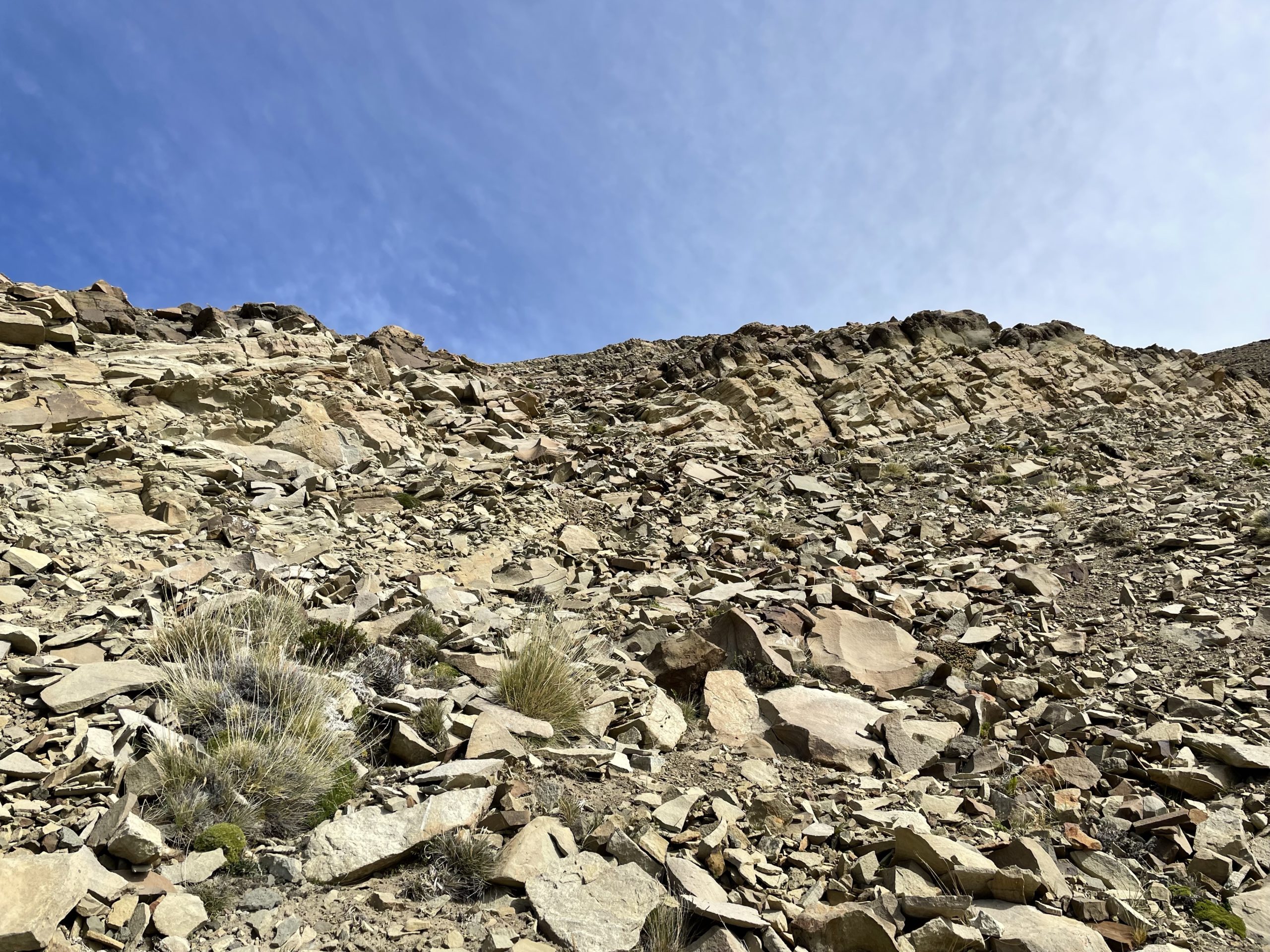
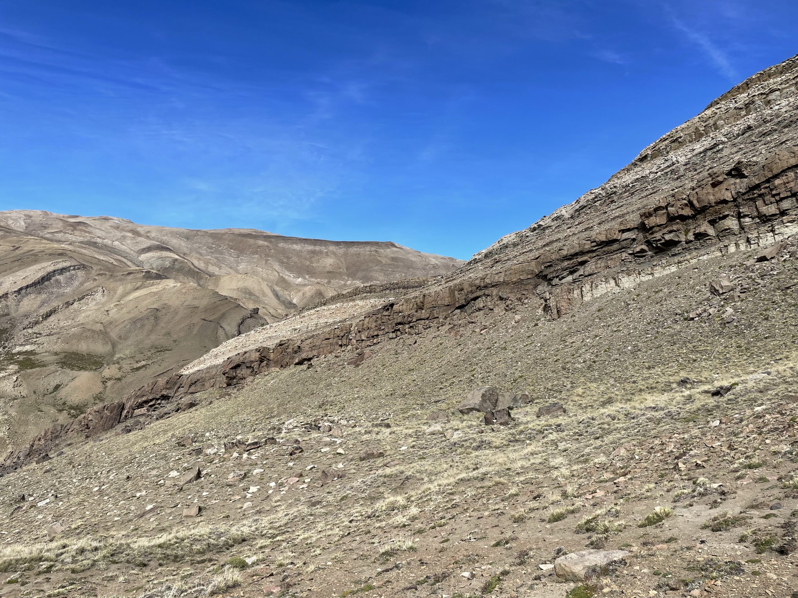
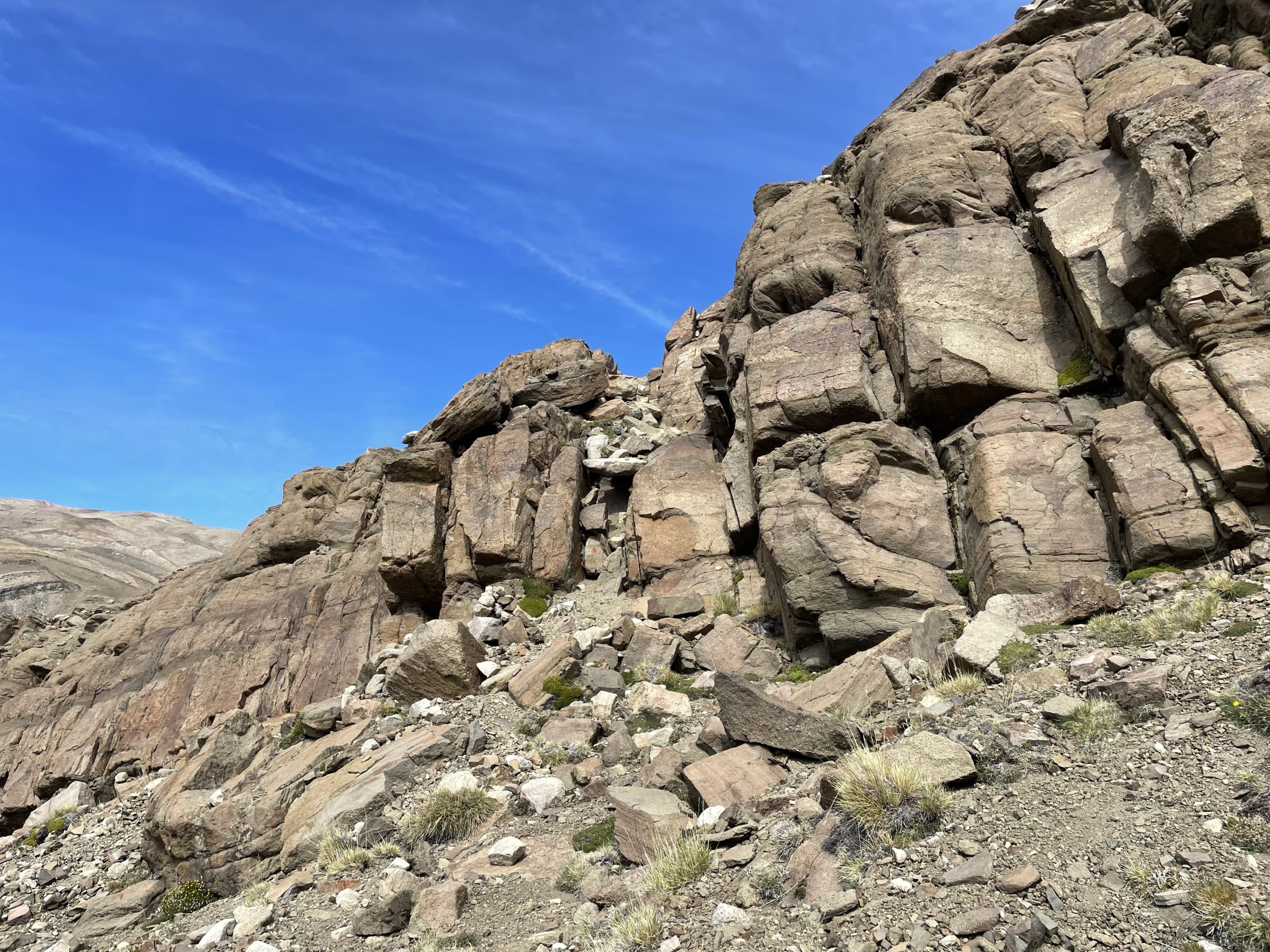
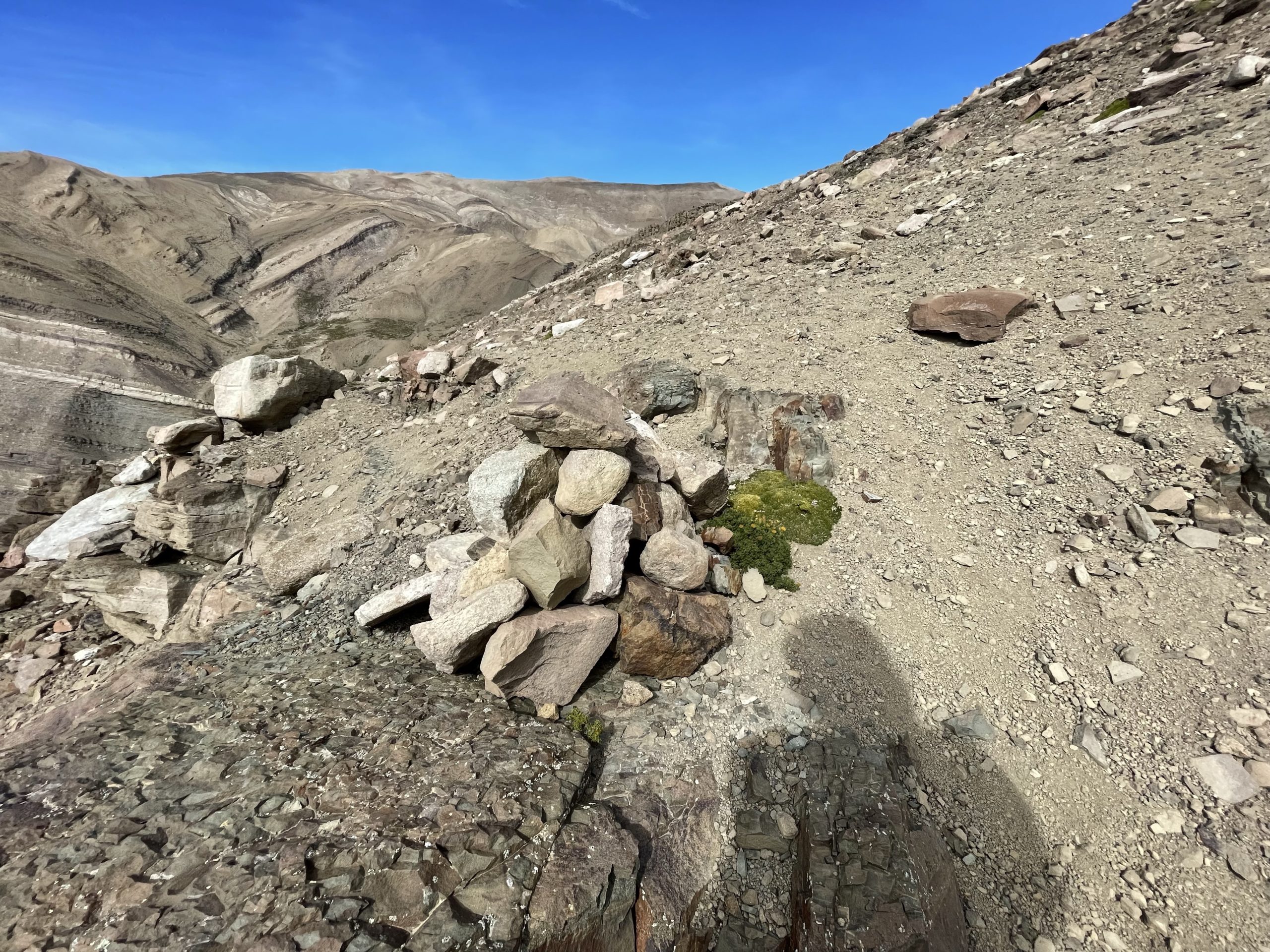
Now over the second cliff band I had an easy ridge walk up to a sub summit mound. I traversed east around the mound and then continued the ridge ramble up towards the summit. The ascending was much easier now with straight forward shale slopes all the way up. Despite the easiness the route was foreshortened and it took much longer than expected to finally top out on the summit.
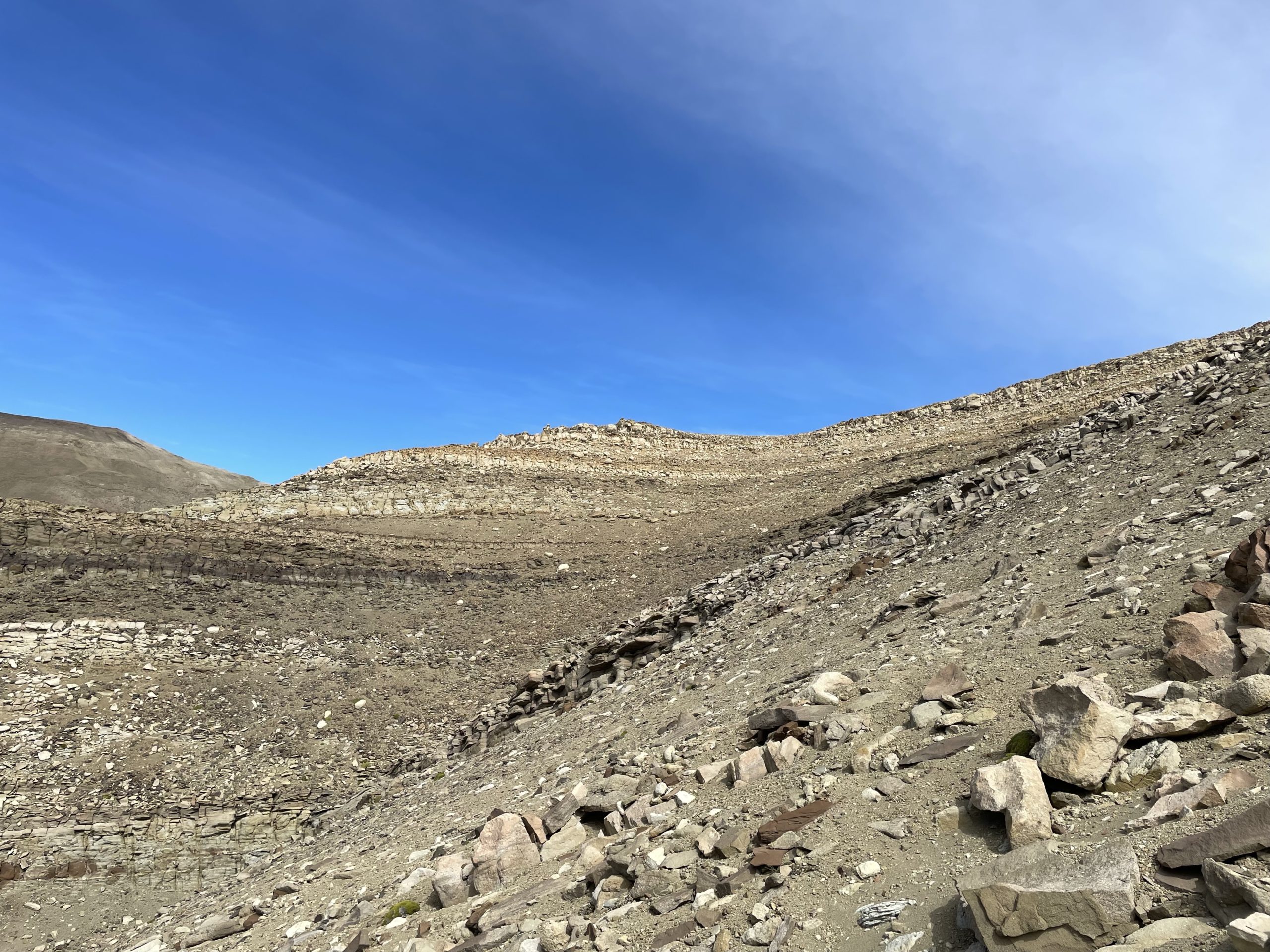
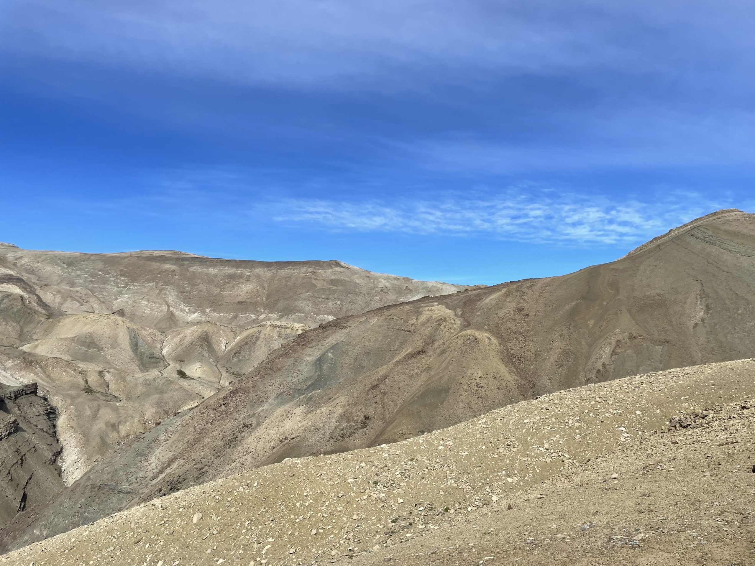
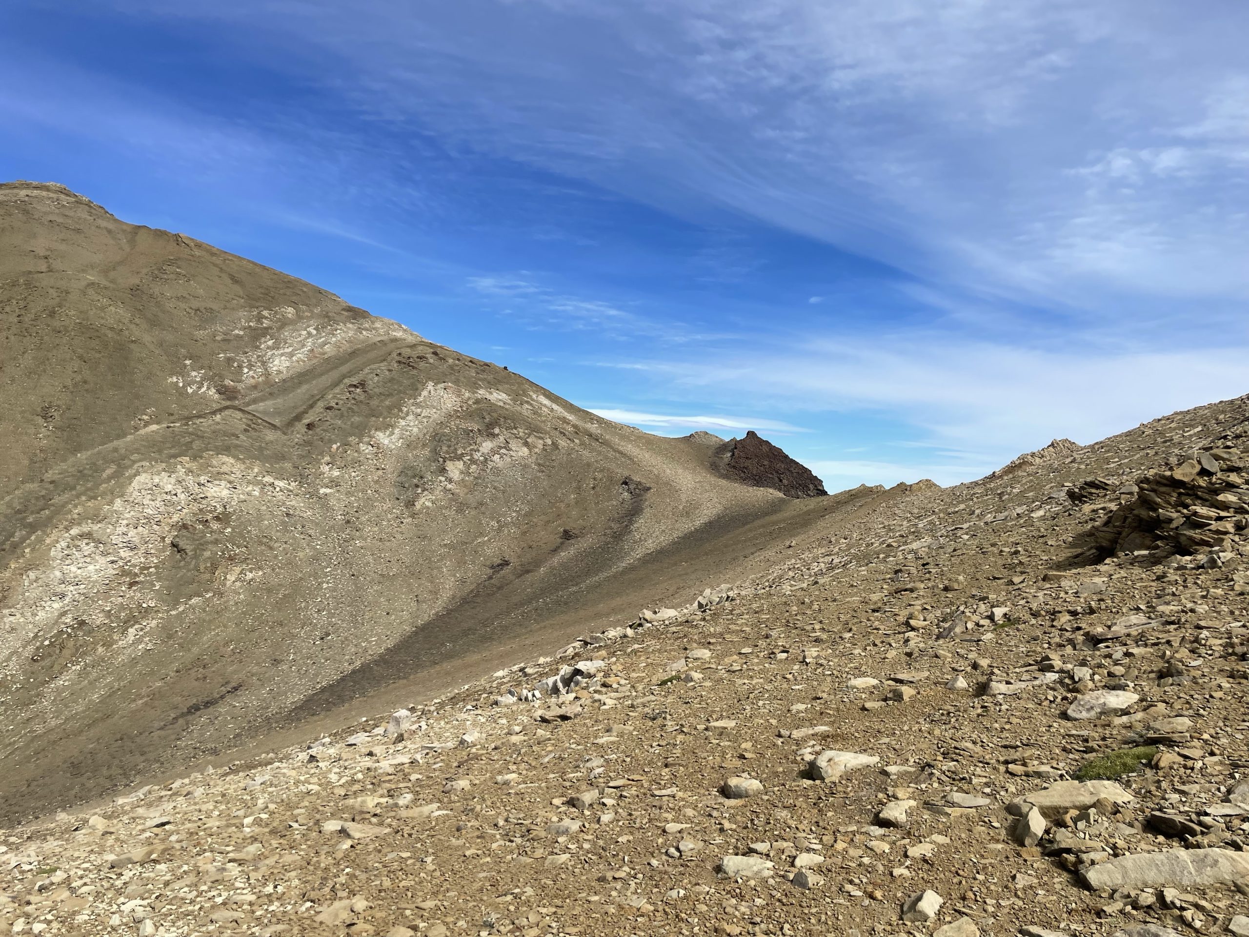
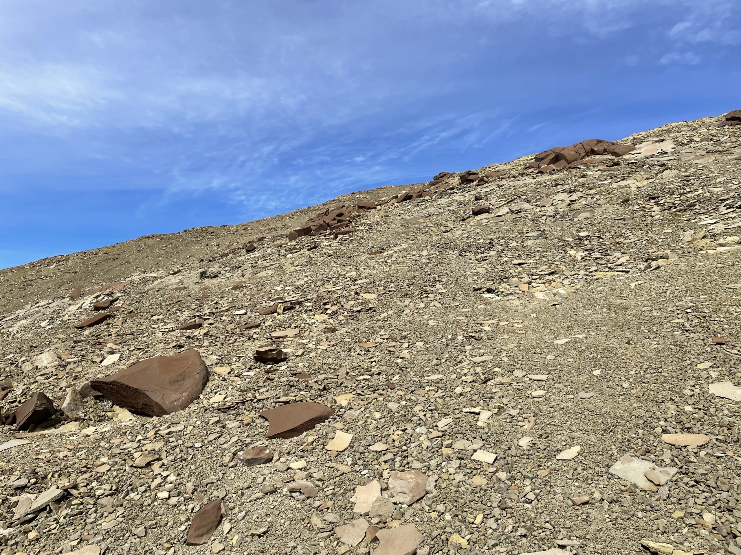
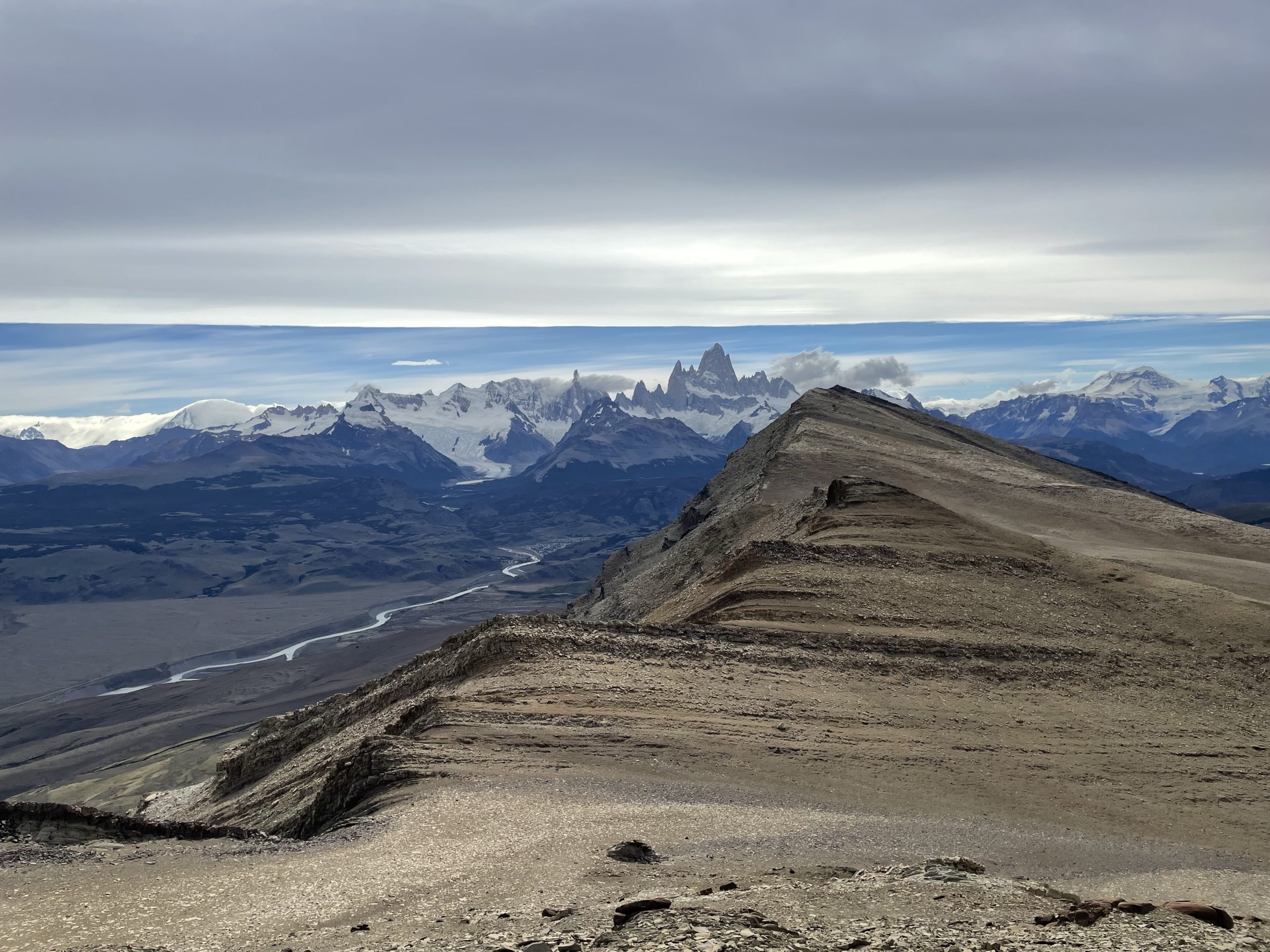
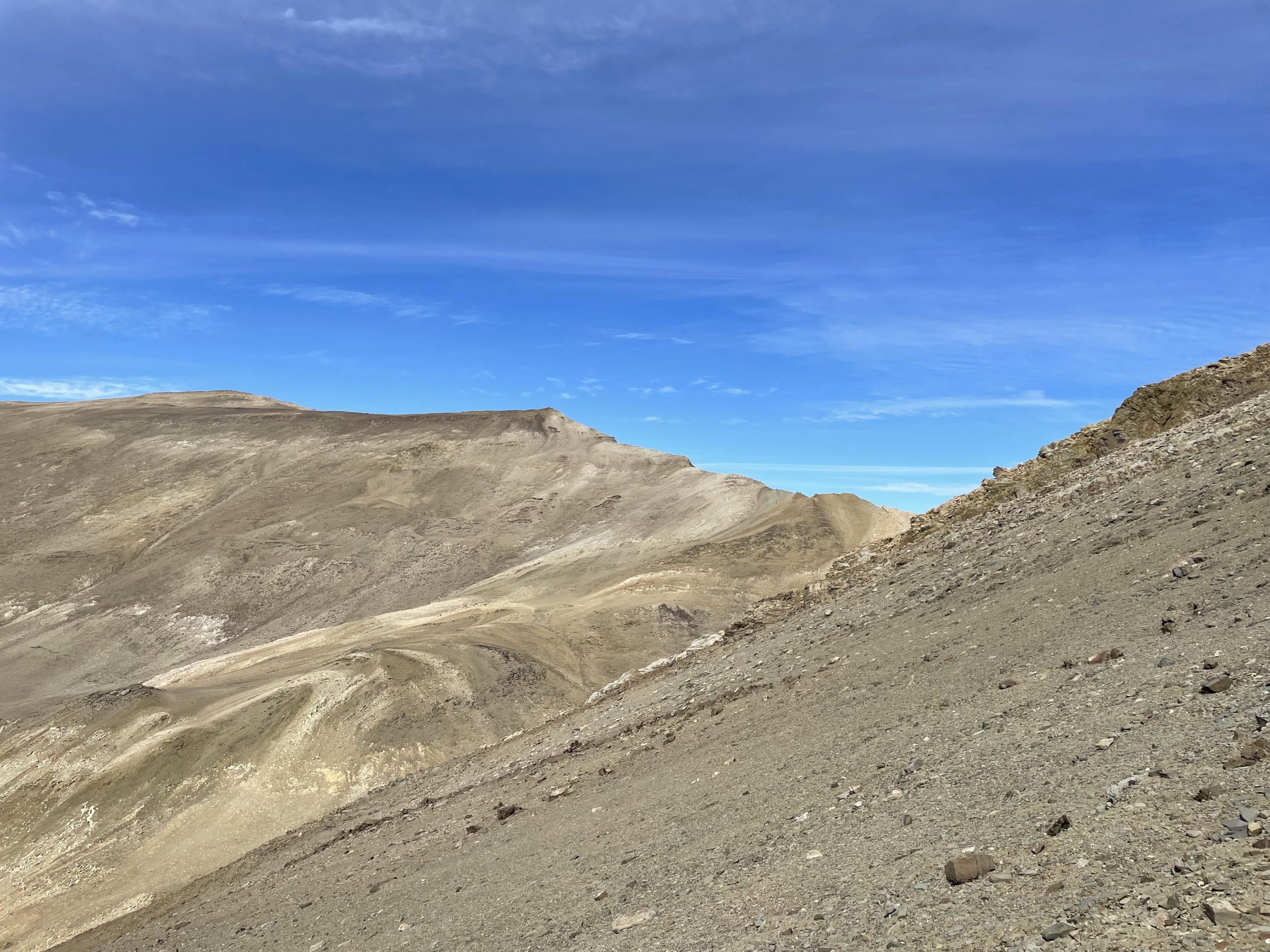
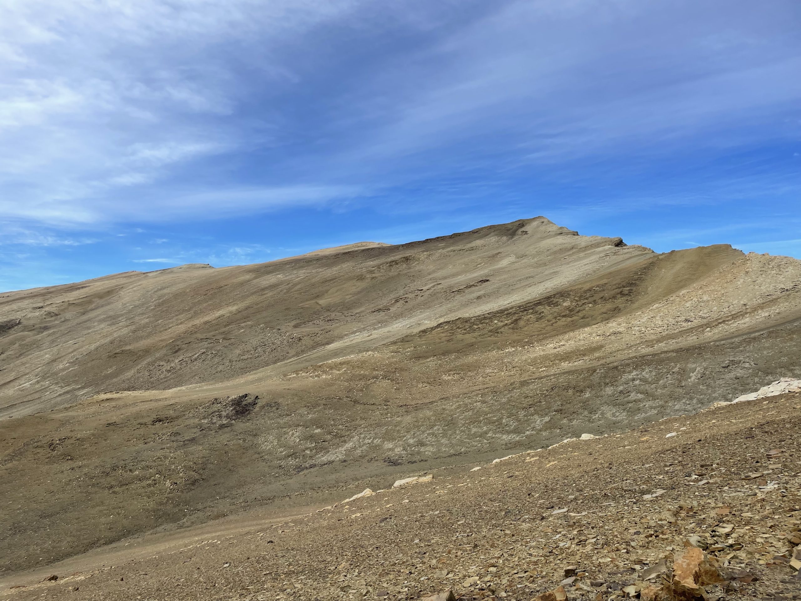
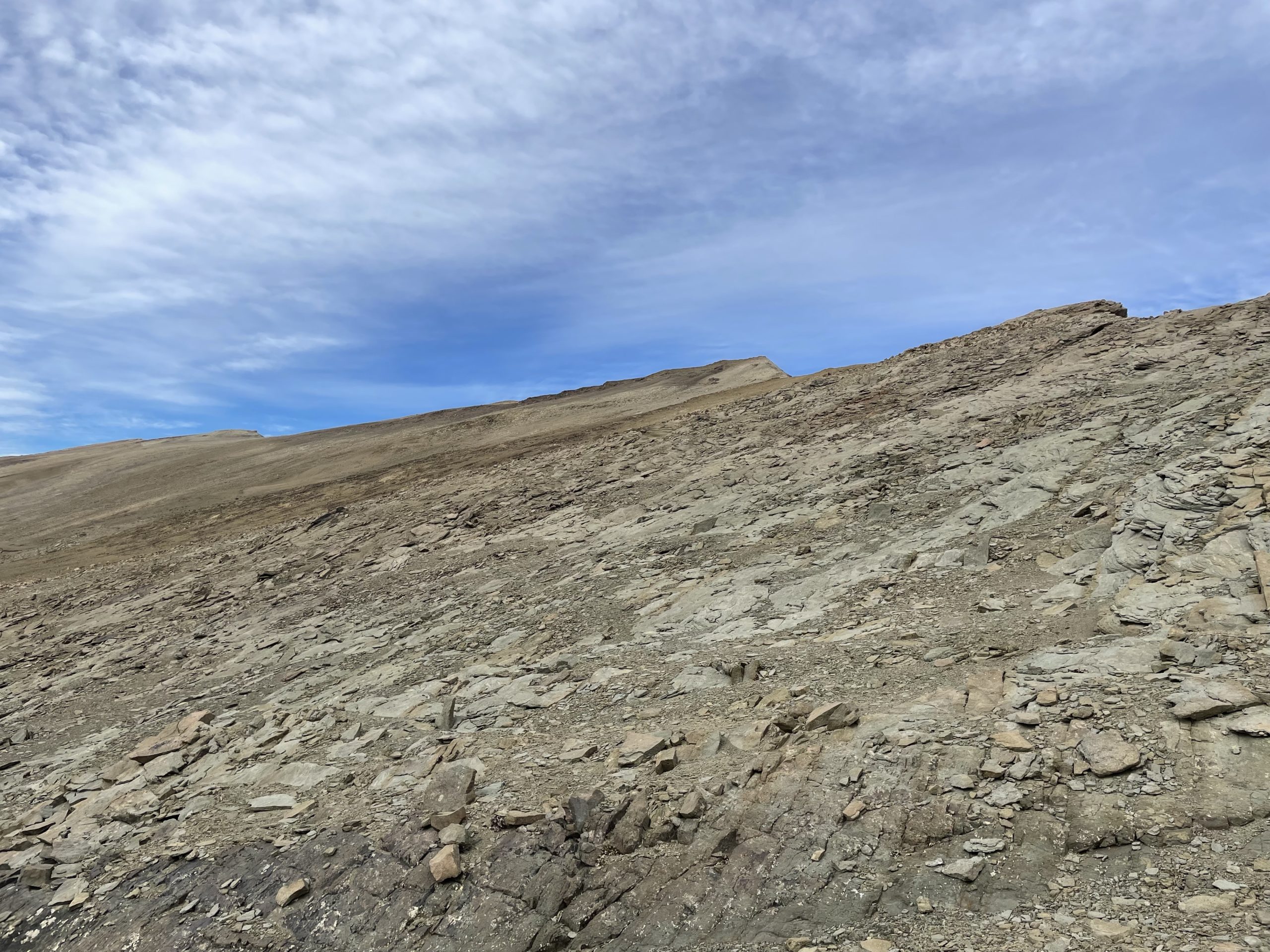
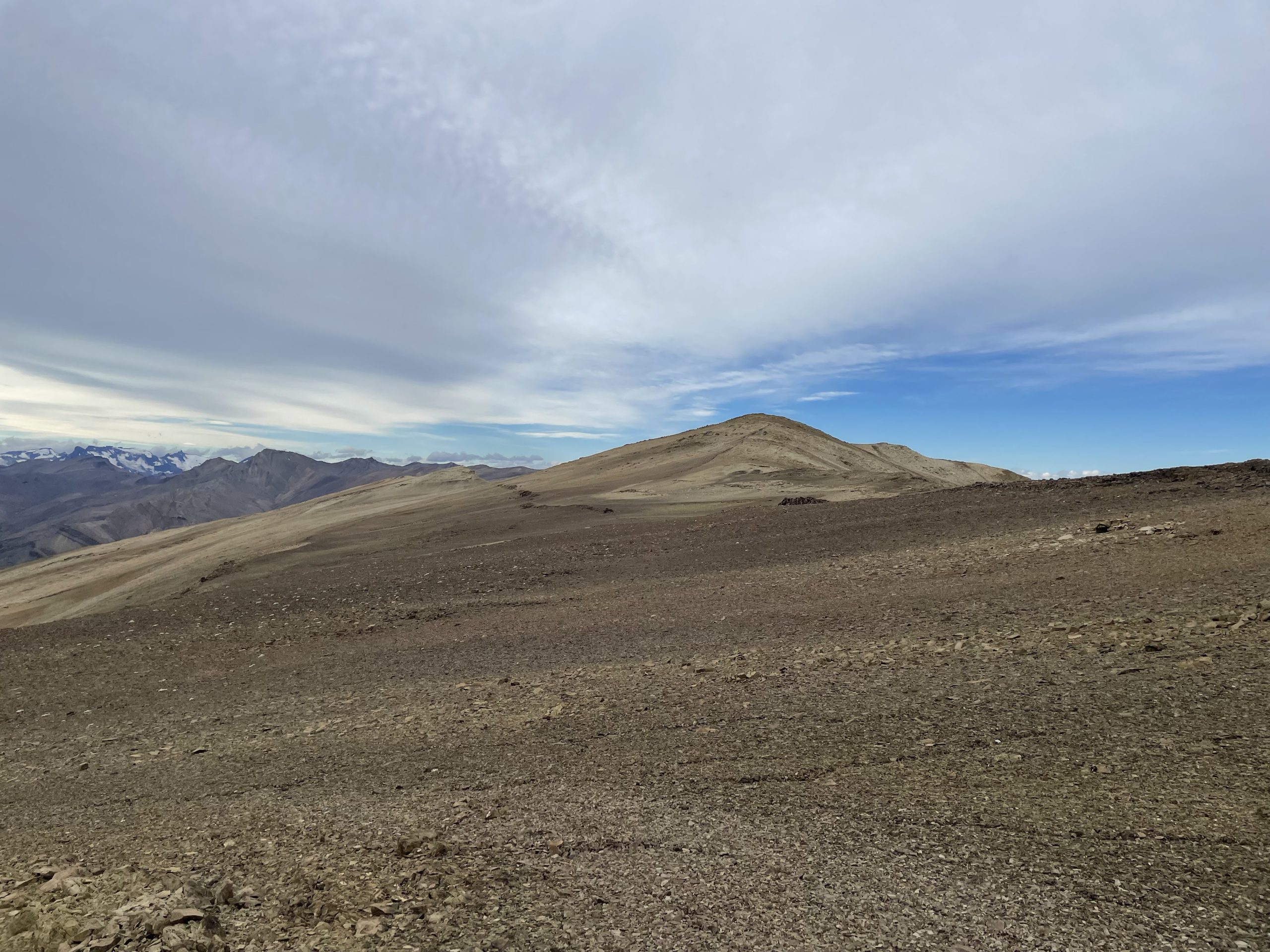
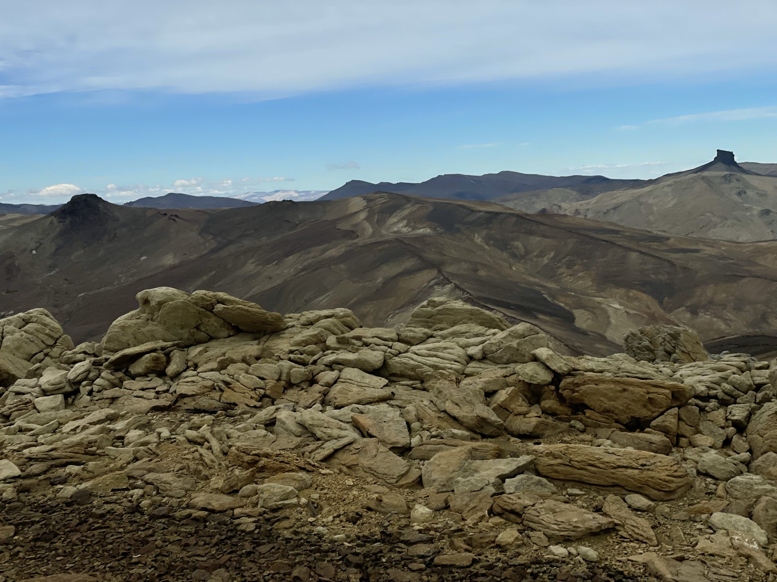
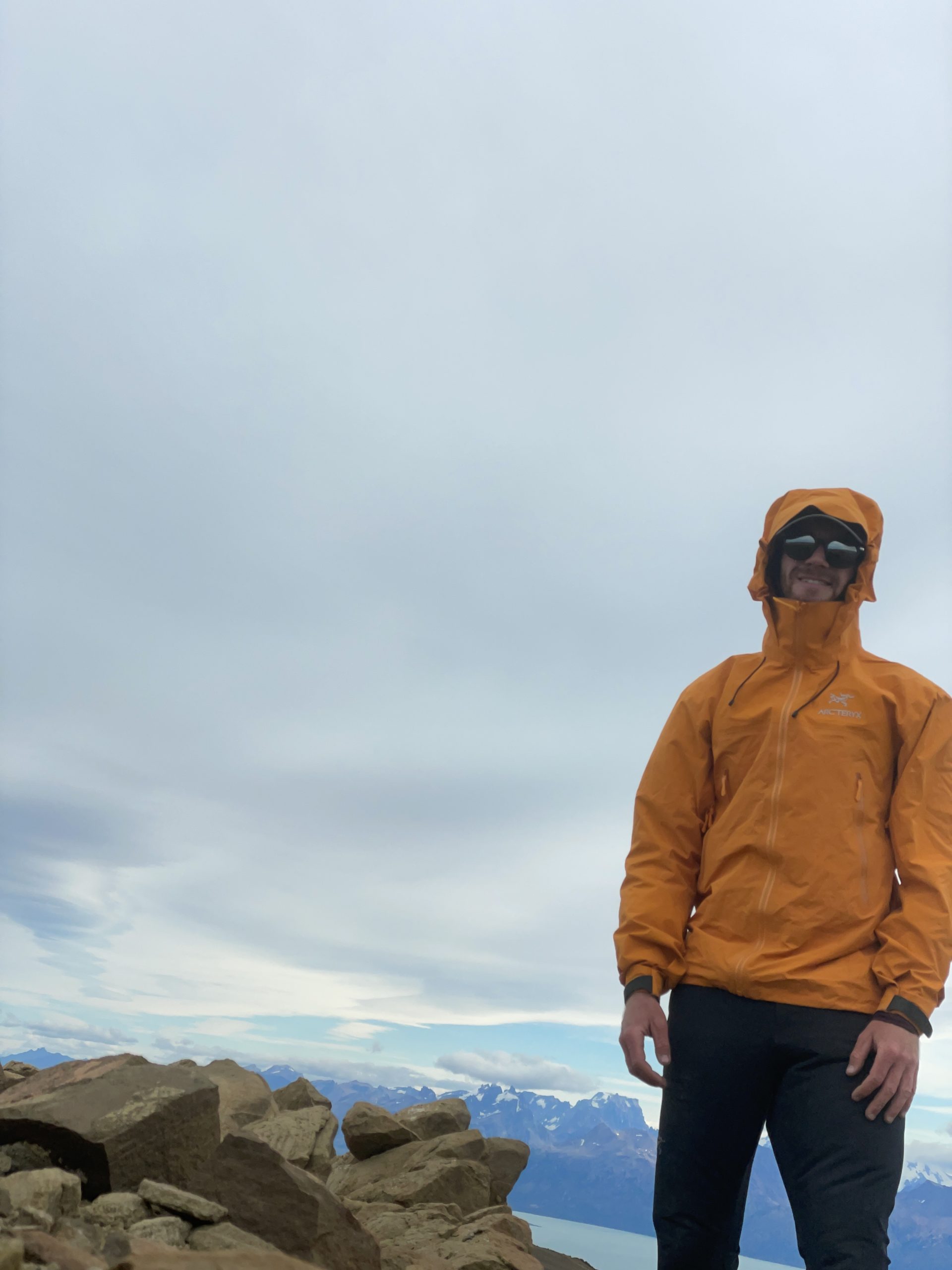

I was happy to make it after some initial uncertainties. The weather had been pleasant up until the last hour, but now an overcast had settled in. The wind picked up and I could feel the temperatures dip below 0. I stuck around just long enough to grab summit panoramas and then bailed off the top.
Descending the shale slopes was fast and I reached that sub summit mound in quick order. I opted to traverse the west side this time and that proved to be the better route, shaving off some extra distance. I continued along the ridge and down that second cliff band. At one point I got off course in some micro terrain and had to back track a bit, but otherwise it was an easy descent. Before long I reached the grassy slopes again.
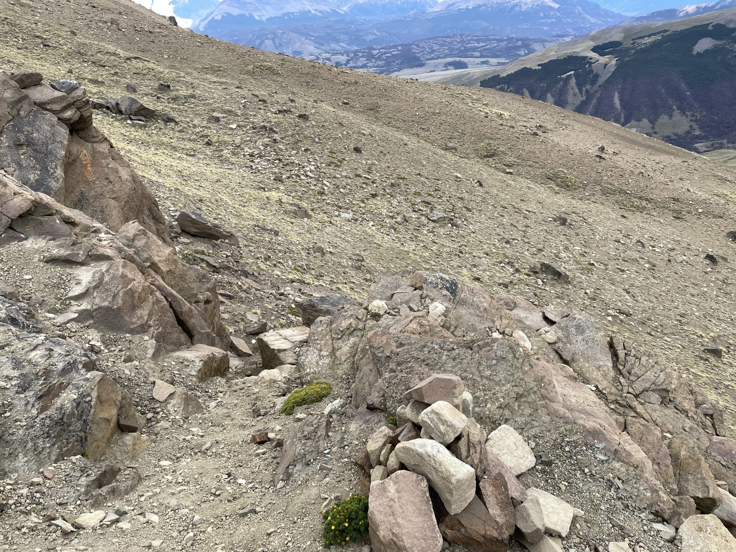
I stuck high on the slopes this time to cross the river gully at a less steep section. This worked out well and then it was easy peasy descent down the remainder of the grassy slopes. I reached the ranch land again and made it across just before sunset.
Now I climbed over the small foot hill above the river and traversed further north to find a less shitty section to descend. I ended up going too far north, but eventually found a foot path that got me down to the river again. Another 15 minutes and I was on the bridge into El Chalten after a successful outing.
