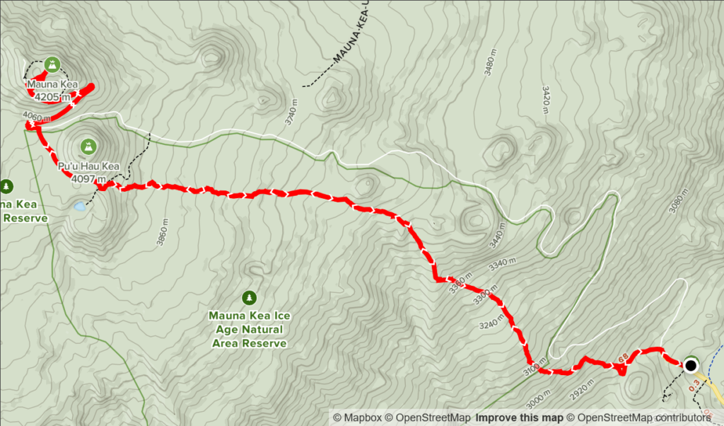
Elevation Gain: 1,516m
Distance: 21.06km
Total Time: 7 hours 12 minutes
Date: December 19th, 2021
Mauna Kea is a volcano many know of because it’s the tallest mountain in the Hawaiian island chain and is the staging ground for a number of telescopes/observation platforms. Through some ridiculous (in my opinion) technicalities, it’s also the tallest mountain in the world, but for me that doesn’t matter much. What does make this peak interesting is that it boasts 4207m of clean prominence and that typical summit attempts involve waking up at sea-level, driving to the center point at ~2800m and hiking the rest of the way to the top. That accounts for 4207m of elevation gain in a single day and makes for an interesting test in ones ability to overcome higher elevations.
In the summer time a road leads almost all the way to the top and so hikers can claim the summit with a mere 50m elevation gain from the car. In the winter, the roads close more frequently due to the seasonal snow cap and that means most hikers will have to gain the summit via the Humu Ula trail. The trail starts at the visitor centre at ~2800m and rises at a moderate grade ~1407m to the summit over a 10km distance. From a mountaineering standpoint, it poses no technical challenges other than the altitude.
Prior to arriving in Hawaii, I didn’t have any intentions of trying to summit Mauna Kea, as I frankly didn’t know much about it. Once I got a chance to see it in person, I knew it had to be done. I did some research and discovered that Humu Ula trail I mentioned would take us right to the top. My mom and I had just finished doing Pu’u Wa’awa’a and Eke the days prior and were feeling ready to try a bigger peak. I figured Mauna Kea or Mauna Loa should be the next goals. I had a look at the forecast for both peaks and it turned out there was only going to be a narrow weather window from early Sunday morning until noon. The rest of the week was forecasting high levels of precipitation and wind. Given the choice of the two, I had to pick Mauna Kea since it’s the tallest.
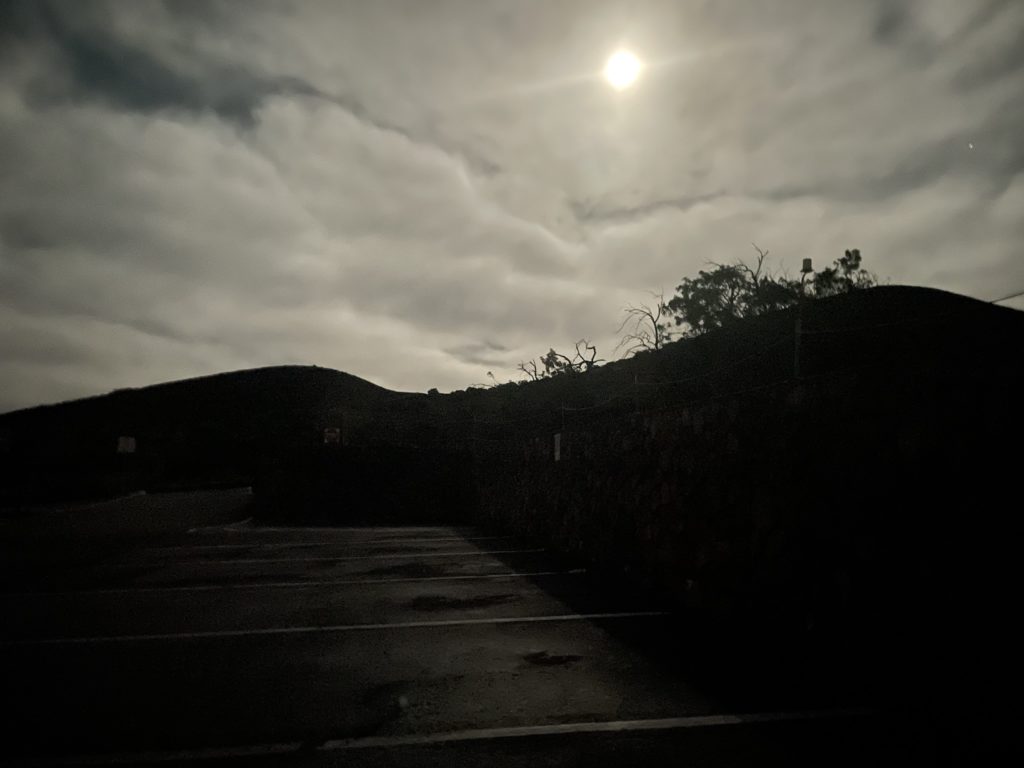
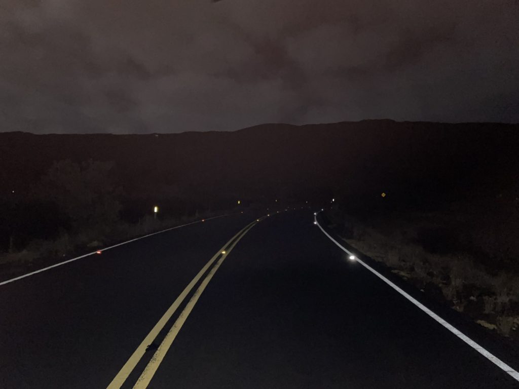
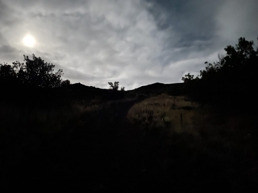
To make the weather window we woke up on the Sunday for 3am and were out the door by 3:30am. The plan was to make the one hour drive to the visitor centre and then spend the recommended acclimatization period (at least 30 minutes) eating breakfast and waking up more. We arrived at the visitor centre for 4:35am and then started the ascent at around 5:10am. I stopped first to register my mom and I’s names into the trip report system for the rangers and then we started down the road.
The trail began about 300m up the road and started off on a wide sandy path. We were travelling by moon light initially as neither of us came to Hawaii with our usual hiking equipment. The moon ended up being sufficient and I could make the trail out without needing to consult the GPS or use a flashlight. Many reports had stated the first sections are steep and arduous, but by BC standards it was a very modest grade and easy to ascend. It was a bit cold to start with in the morning and the wind was cutting through my jogging pants enough that I was feeling like it might be a sufferfest all the way to the top. Thankfully, by the time we reached 3400m, the sun had begun to rise and brought a warm draft up the mountain. The winds died down shortly after and I got a nice morale boost.
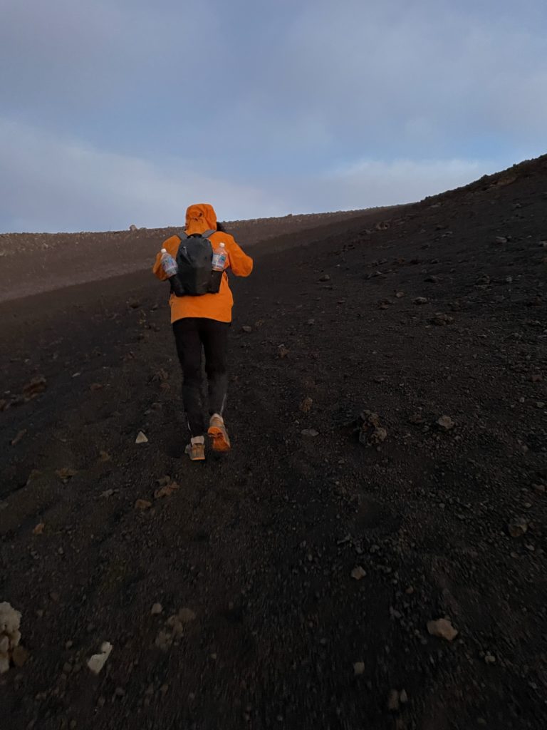
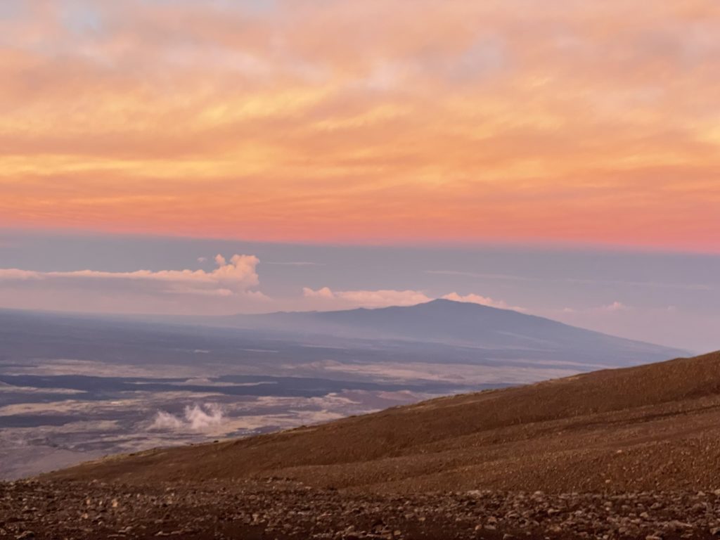
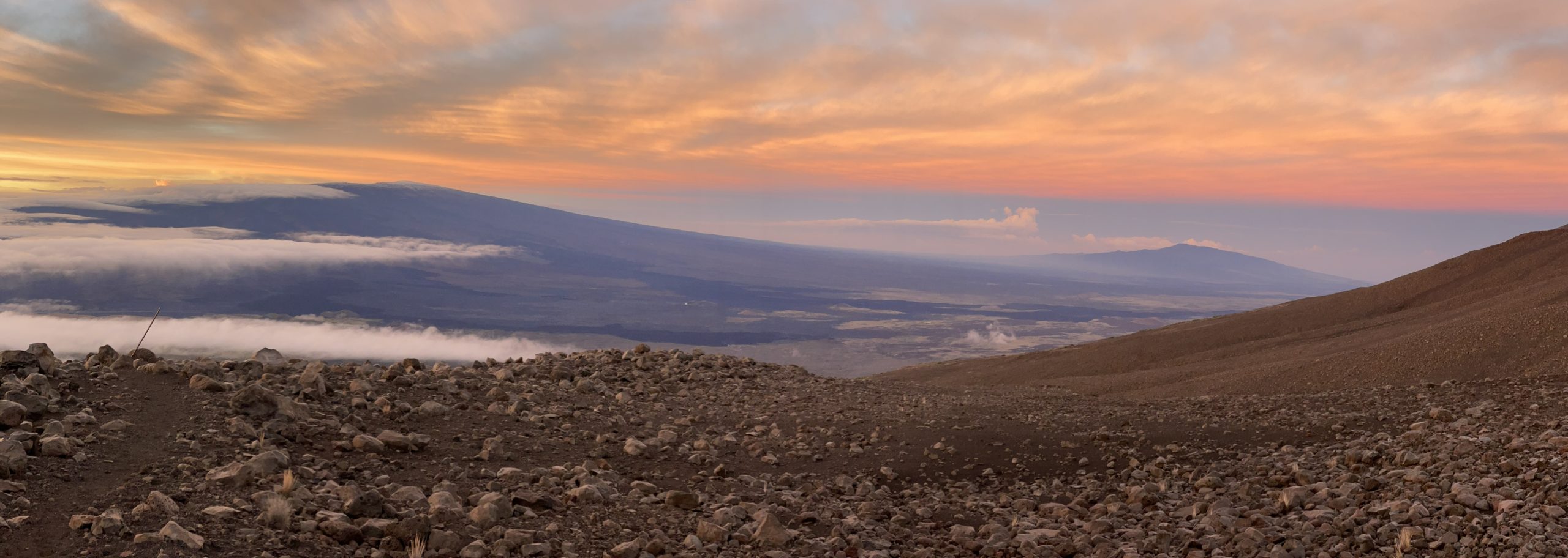
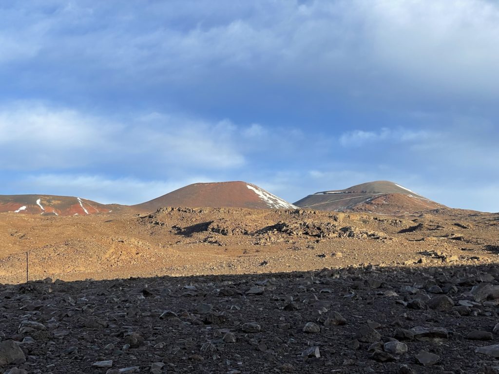
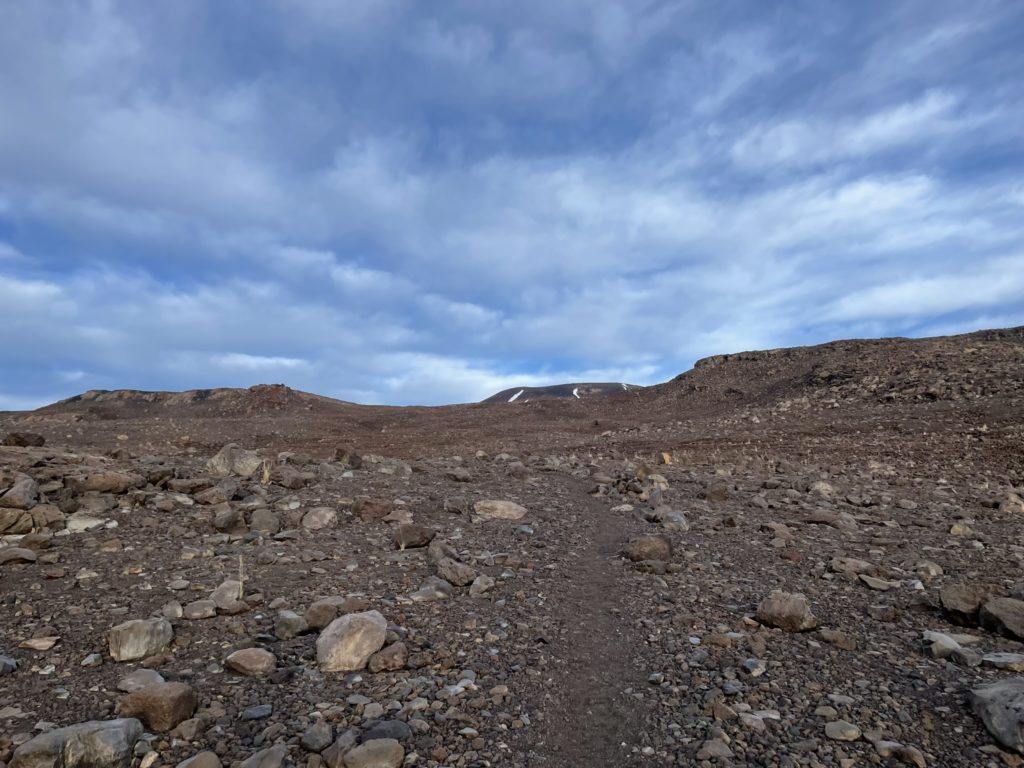
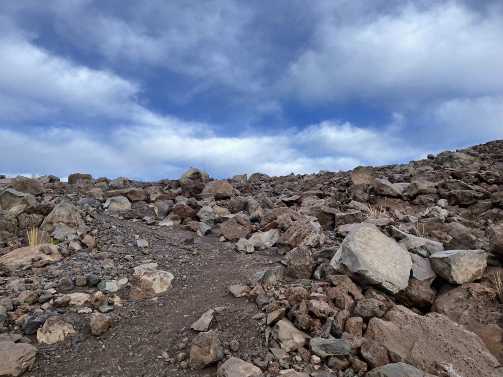
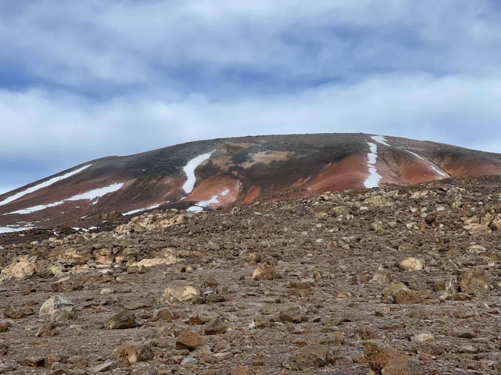
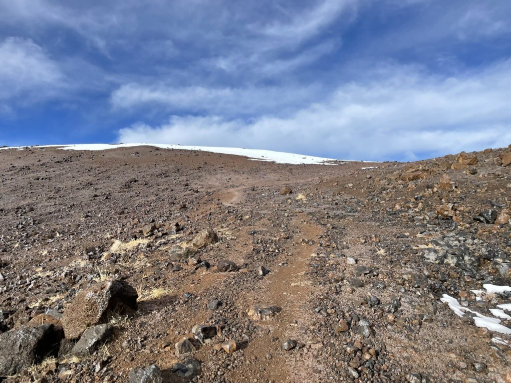
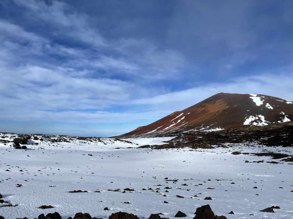
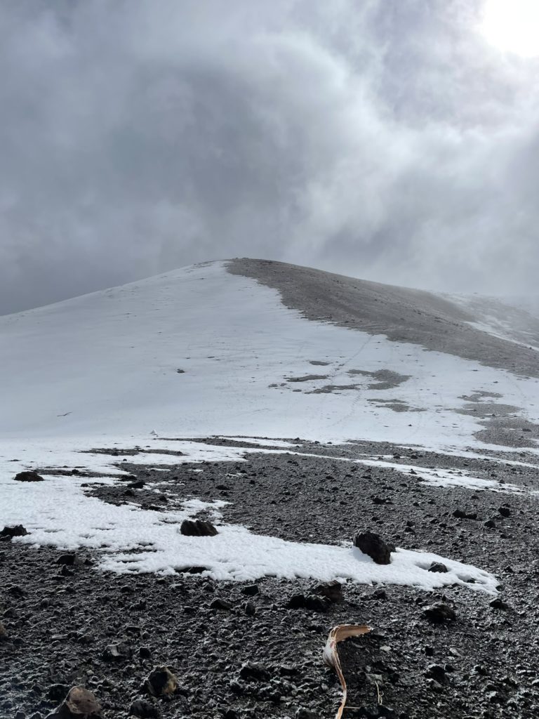
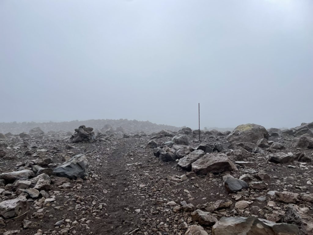
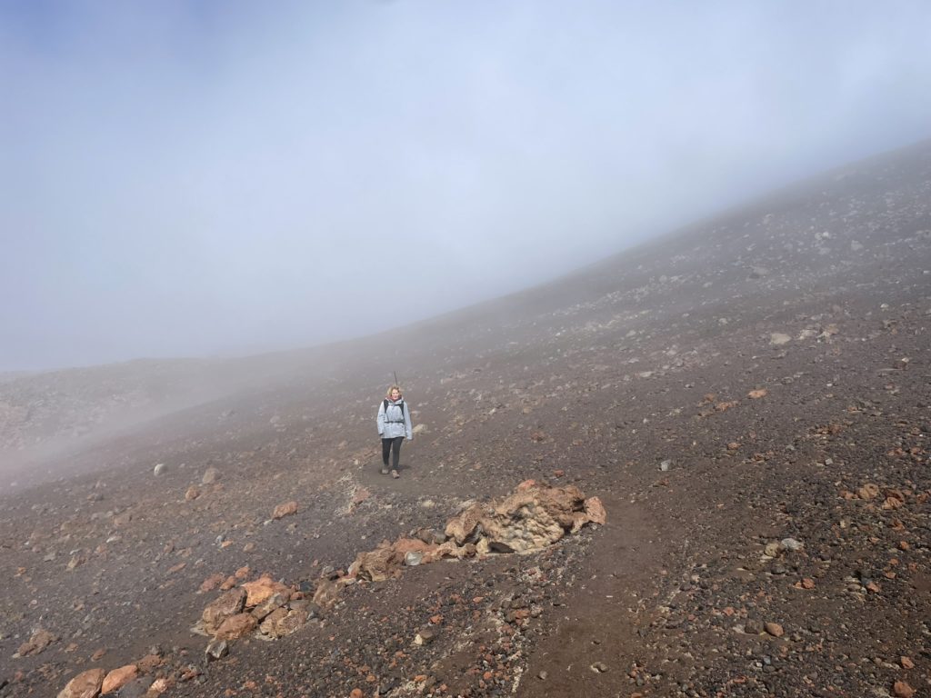
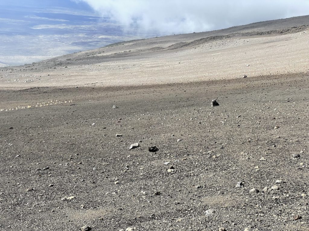
After 3500m, the grade eased further and we could now see the very foreshortened summit cone. Before us lay a vast plain of fine-grained lava rocks and larger boulders (sorry I don’t know the geological terminology). Looking at the map it was at least 3.5km to reach the summit block despite looking very close. In such cases, there’s only thing to do and that’s just put one foot in front of the other. When we reached 3700m, I could start to feel the altitude more with some light headed sensations and a slowing of the pace. However, I still felt strong and so did my mom so we pressed on as normal.
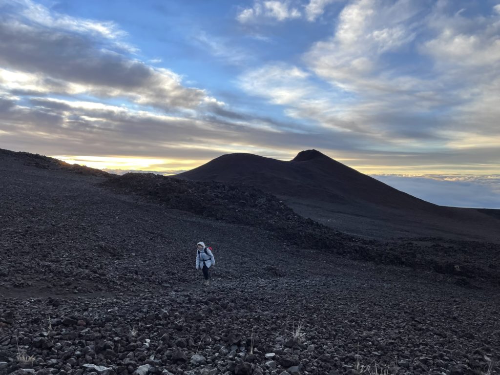
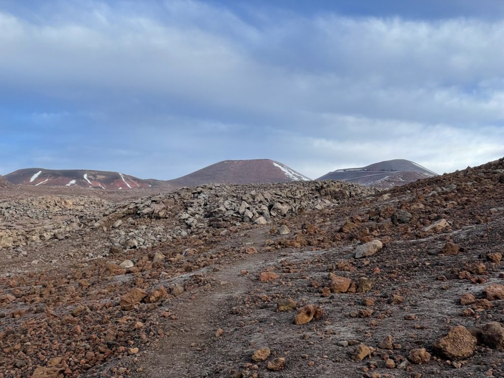
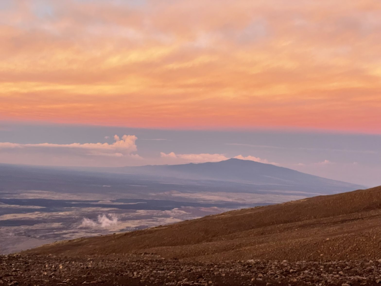
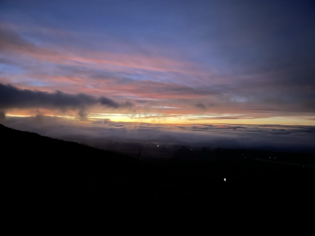
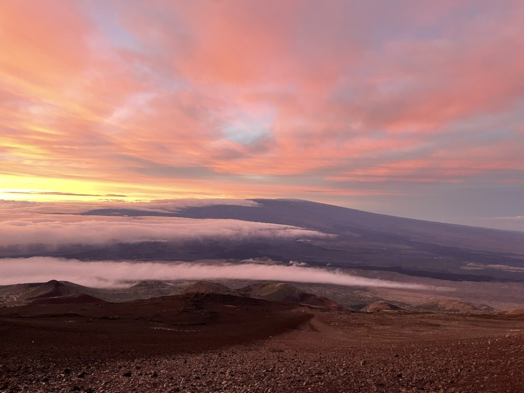
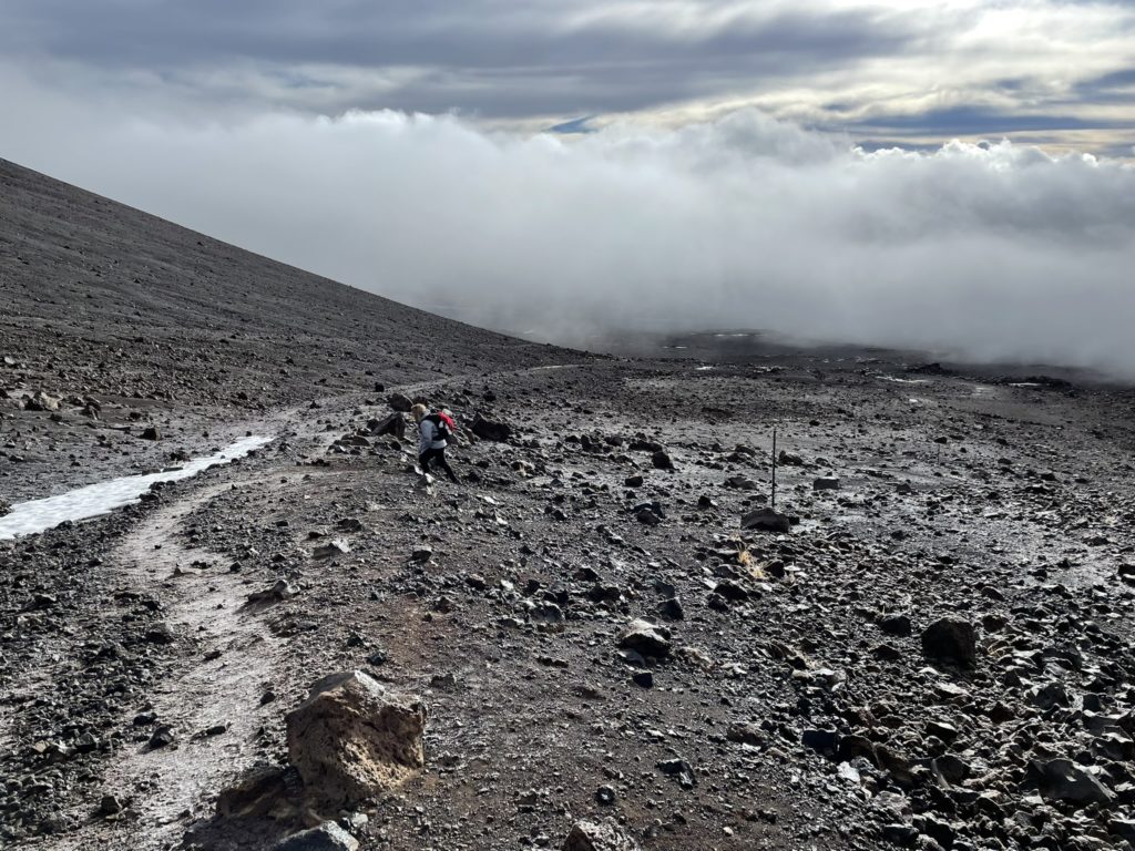
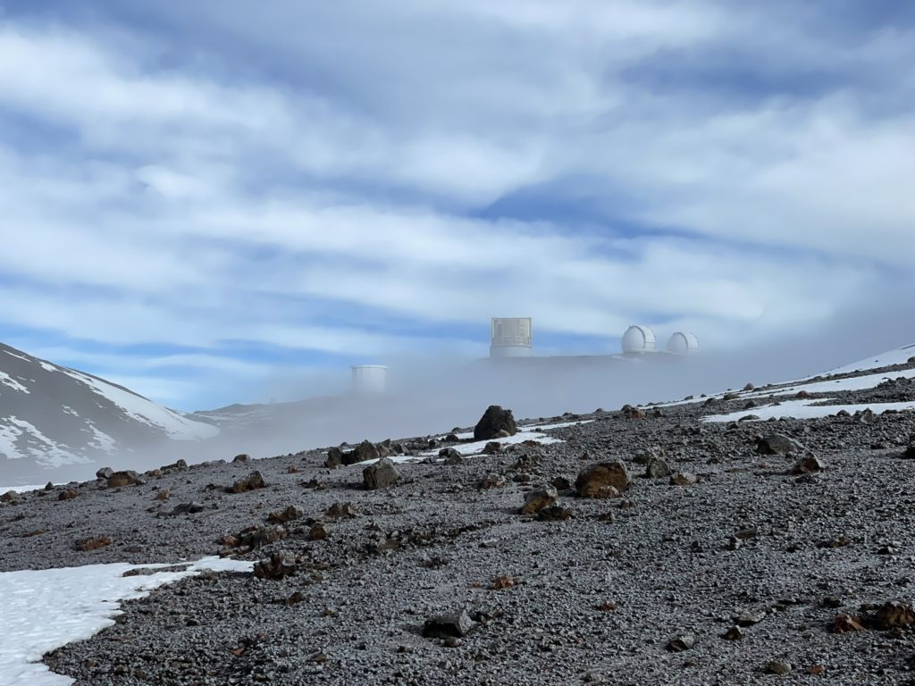
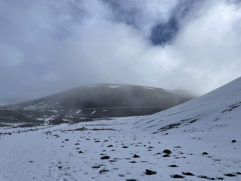
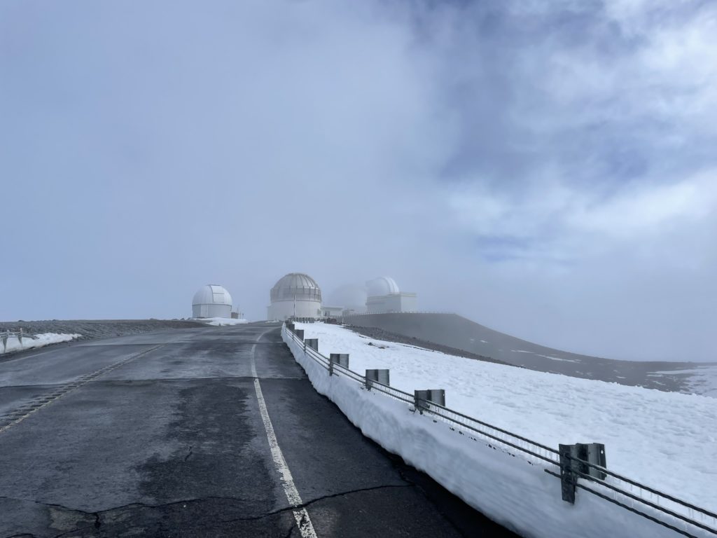
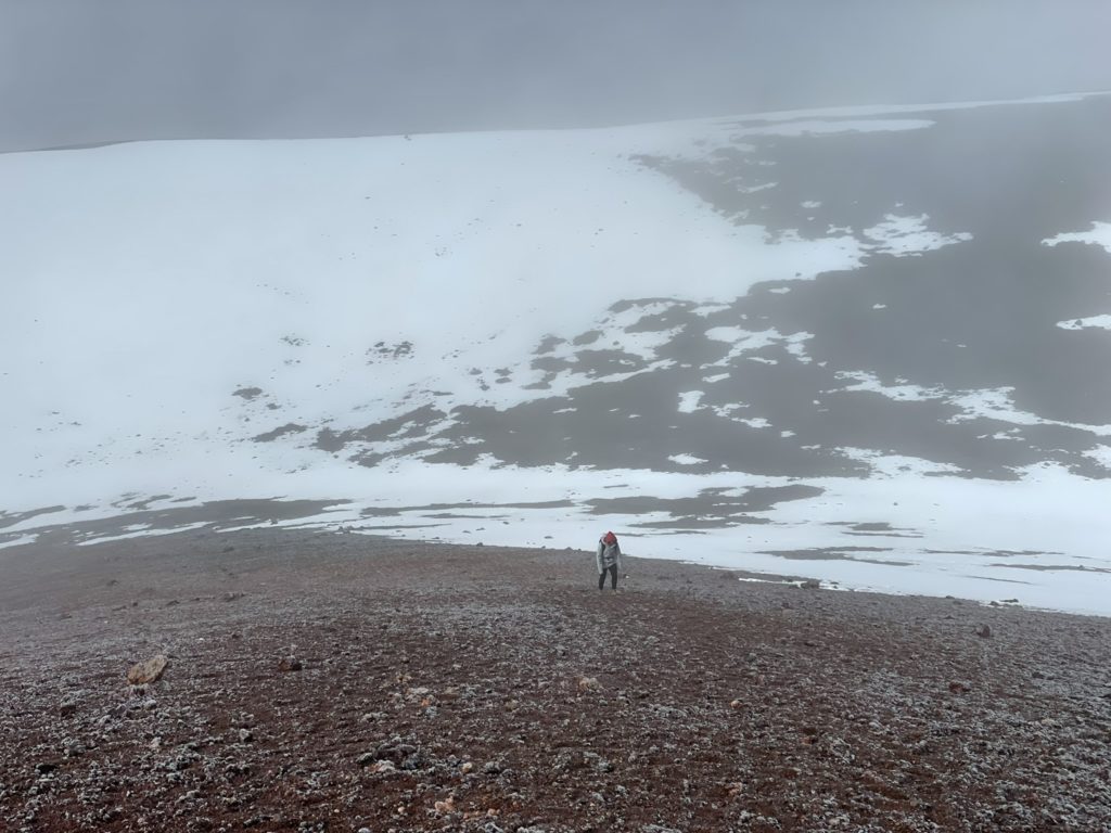
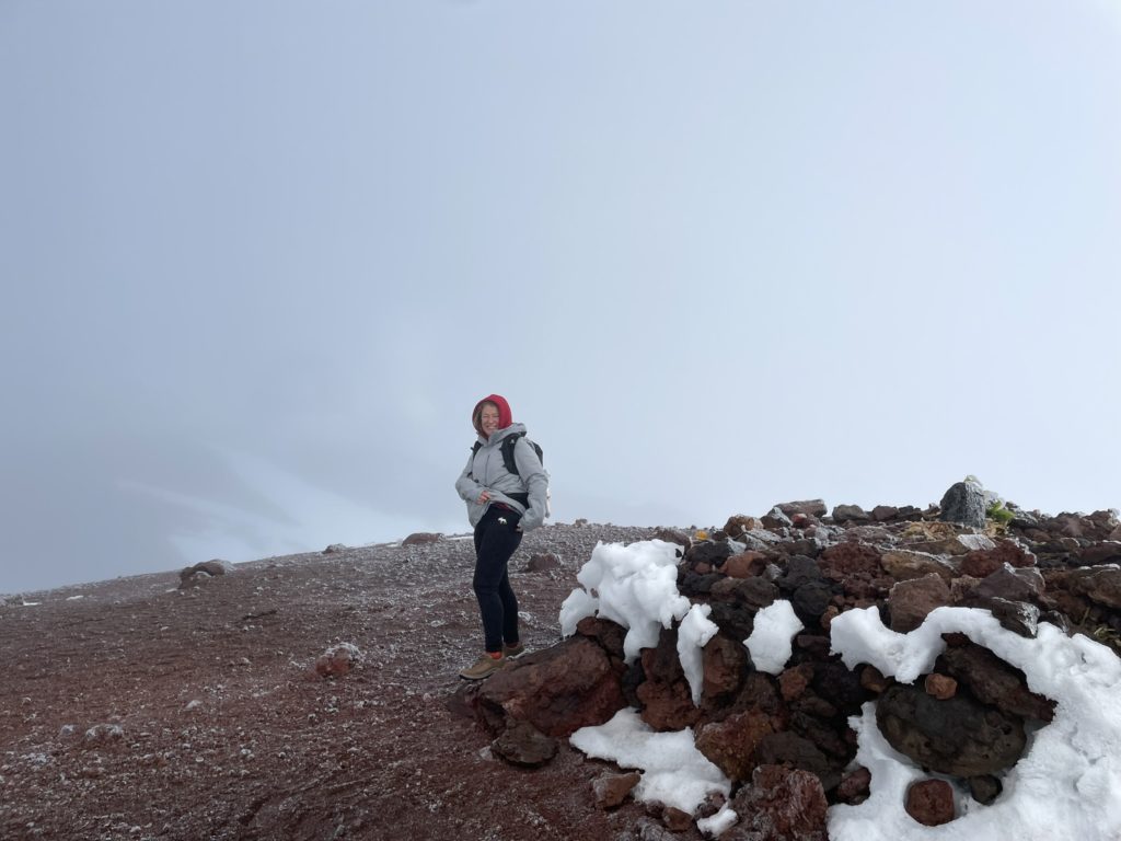
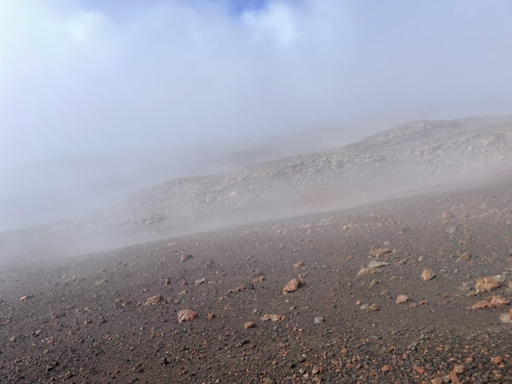
The route continued on through the vast plain and then ascended between two smaller cones south of the main summit cone: Puuwaiau and Puuhaukea respectively. Here we encountered more permanent layers of snow, but they posed no issue for us. Once we crested the the col between the two sub-summit cones we got a clear view of the lower earth observatories that were dotted around the lower portions of the volcanic plateau. Clouds started to roll in not long after though and our views became more obscured. It was becoming apparent that our weather window as closing and we’d likely be in the clouds for the summit.
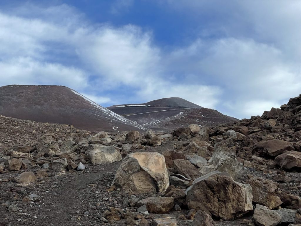
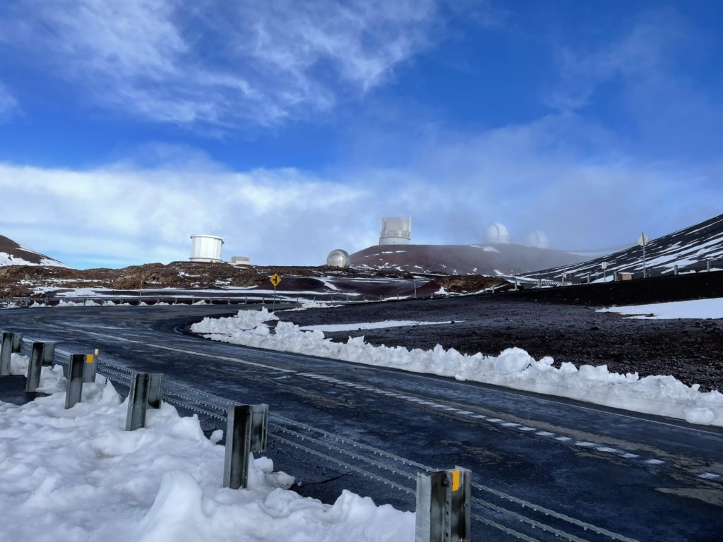
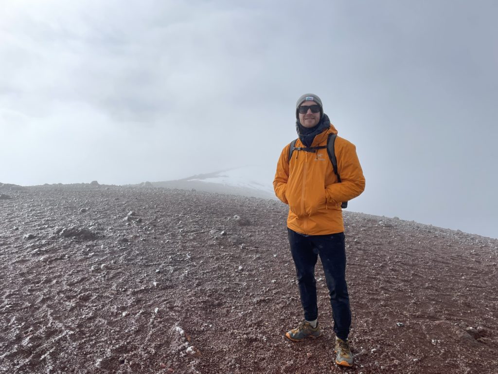
From the col we descended a short ways before ascending the trail back up to a paved road. This road provides access to all the observatories and is the standard route to reach the true summit as well; once the trail terminates. We began our climb up the road, but with a more sluggish pace. Each step felt laboured and I was definitely feeling some light headedness but overall beating my own expectations at this altitude. One step after the next and we made it to the end of the road. Then there appeared to be two options. Ascend on the left shoulder to the final high point or take a more direct line with some elevation loss to gain the summit. The left most route was covered in a slick sheet of snow and so we opted to follow some existing tracks through the other route. We’d find out later, this is frowned upon because it’s not an existing trail and comes close to the cinder cone base which is considered sacred.
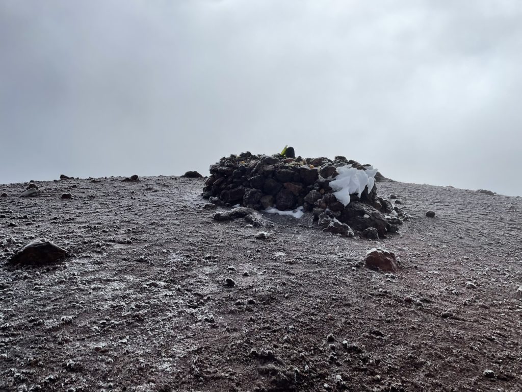
After a short bit of elevation loss and then reascending the slope we finally gained the summit. By now, the upper levels of Mauna Kea were shrouded in a layer of clouds. We wouldn’t get any views, but it didn’t matter much to me. I was super pleased we were both able to make the summit in a reasonable amount of time and without any major effects from the altitude. By our count, we were the only ones on the summit so far that day and we hadn’t seen anyone on the trail all day. A ranger would later tell us one other person topped out before us, but left much earlier so we never ran into them.
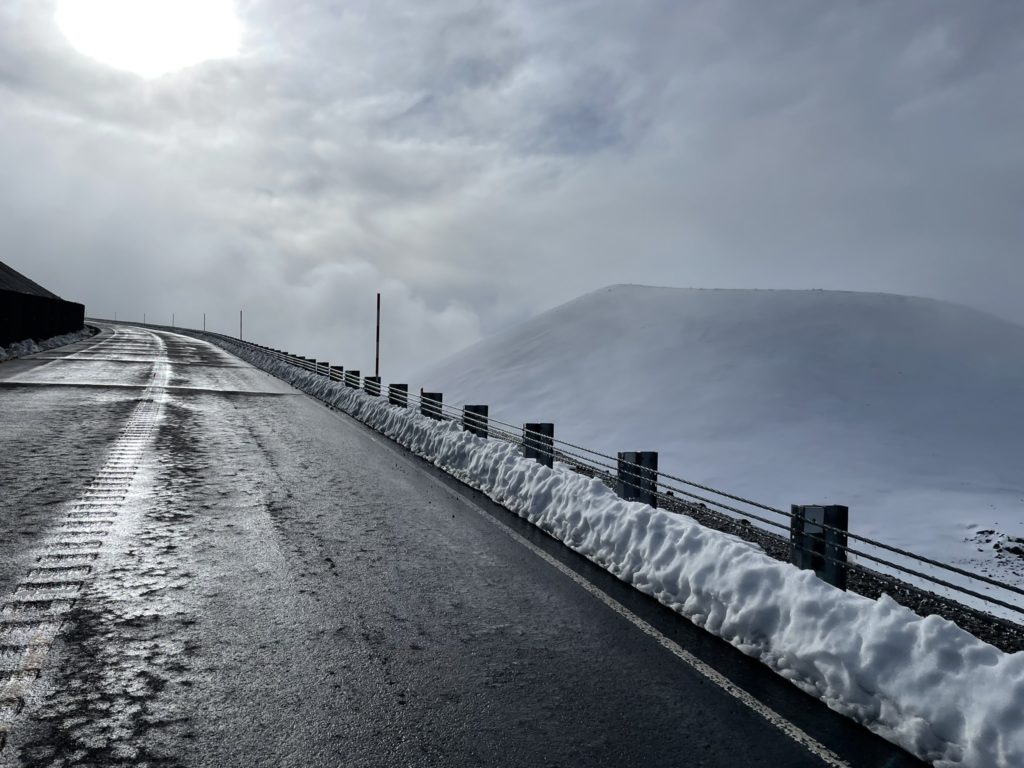
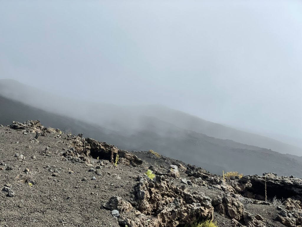
We celebrated a for a few minutes on the summit, until an icy mist finally drove us away. We retraced our steps back to the road and down to the lower observatories. Here, some people opt to take the road back down, but we elected to use the same trail we took up instead. The route back is straightforward and well marked so there’s not much to speak of on the descent. At about 3800m the weather window finally closed in on us and we had a persistent mist showering us the next hour. I had come equipped with hardshell jacket, but my joggers were no match and I eventually got soaked through. Ultimately, it didn’t matter though since I was riding the high of reaching the top and knew we weren’t far from the bottom.
Finally the mist let up and we had an easy last 40 minute cruise down to the parking lot. That officially concluded our hike to the top and it was a trip highlight for sure. I’ll say we got a bit lucky trying this peak in early winter with our minimal gear. I have read the winter conditions can be treacherous near the top and the lower elevations may have rain to wet you down before you reach the freezing levels higher up. To wrap up, I’ll just add again that I’m stoked to be able to knock this one off and super proud of my mom for pushing the pace and joining along a big undertaking like this.