Elevation Gain: 757m
Distance: 9.54km
Total Time: 4 hours 14 minutes
Date: December 18th, 2021
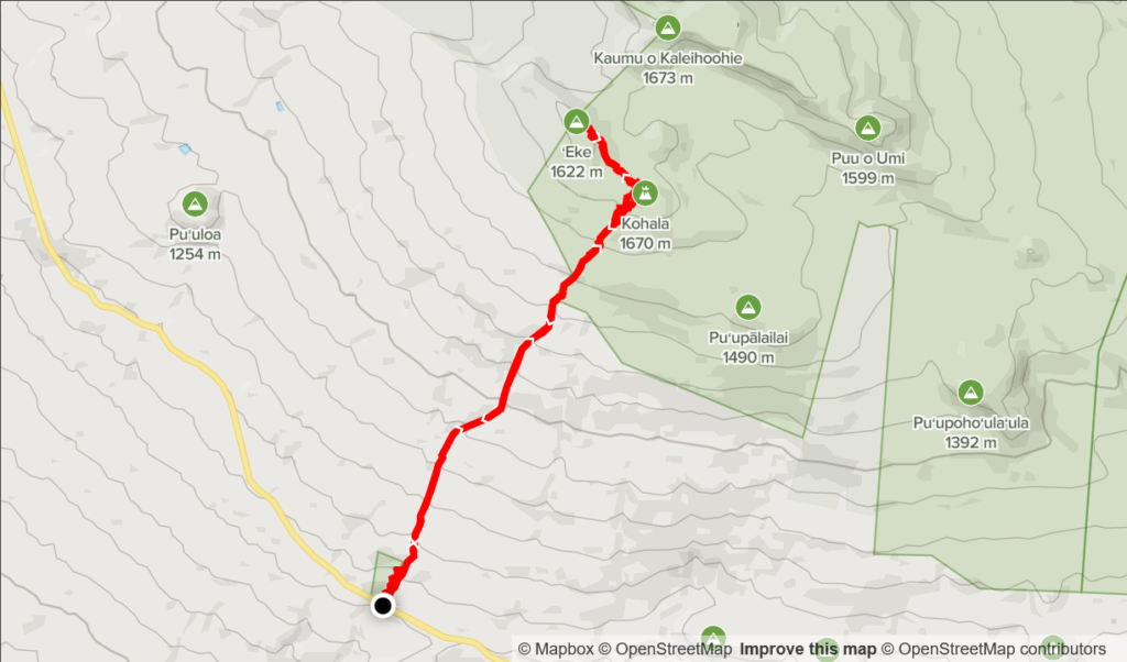
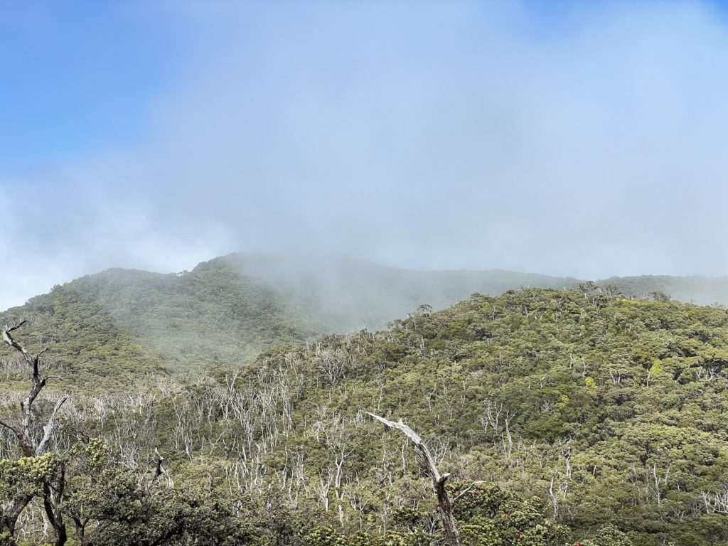
Eke is a minor summit near the top of the long dormant Kohala shield volcano on the Big Island of Hawaii. I could find little information online about the origin of its name other than it’s the smaller neighbour to Kaumu o Kaleihoohie just a 1000m NE. In any event, I knew even less about this particular summit the day that I summitted it, as it happened mostly by accident. The original plan was to do a short hike in Koai’a Corridor. I had a look at the map and saw that we could add on additional 1km (each way) to the journey and grab this “Kohala” summit nearby. My mom was keen to give it a go and so we set off without much further research than that.
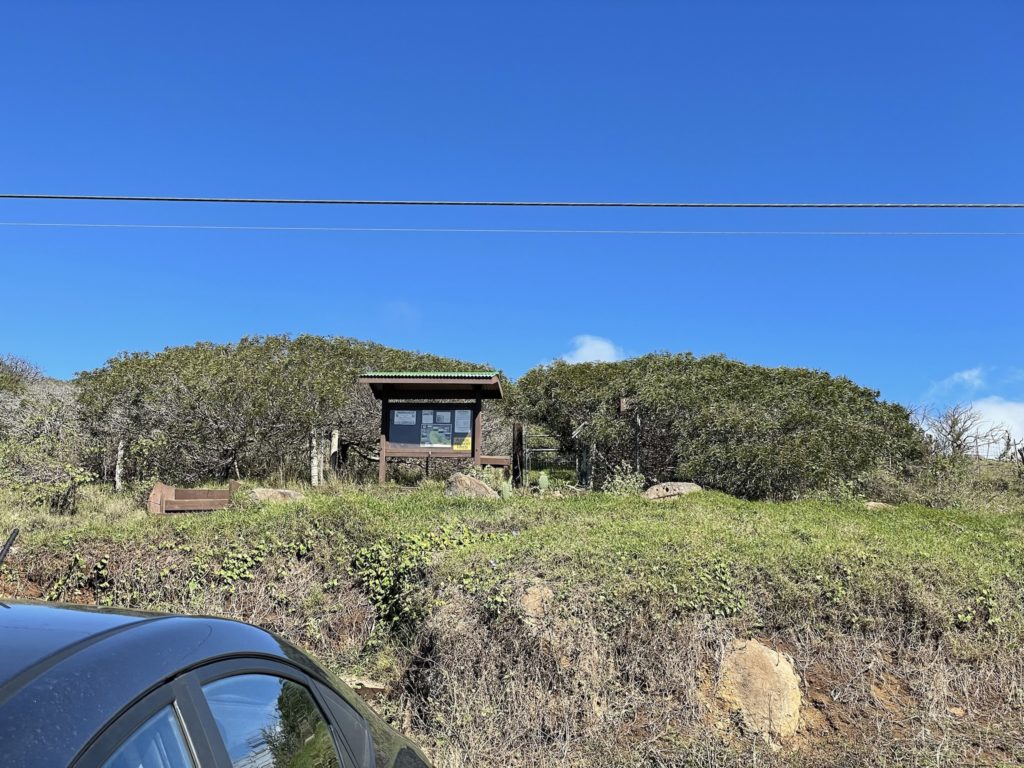
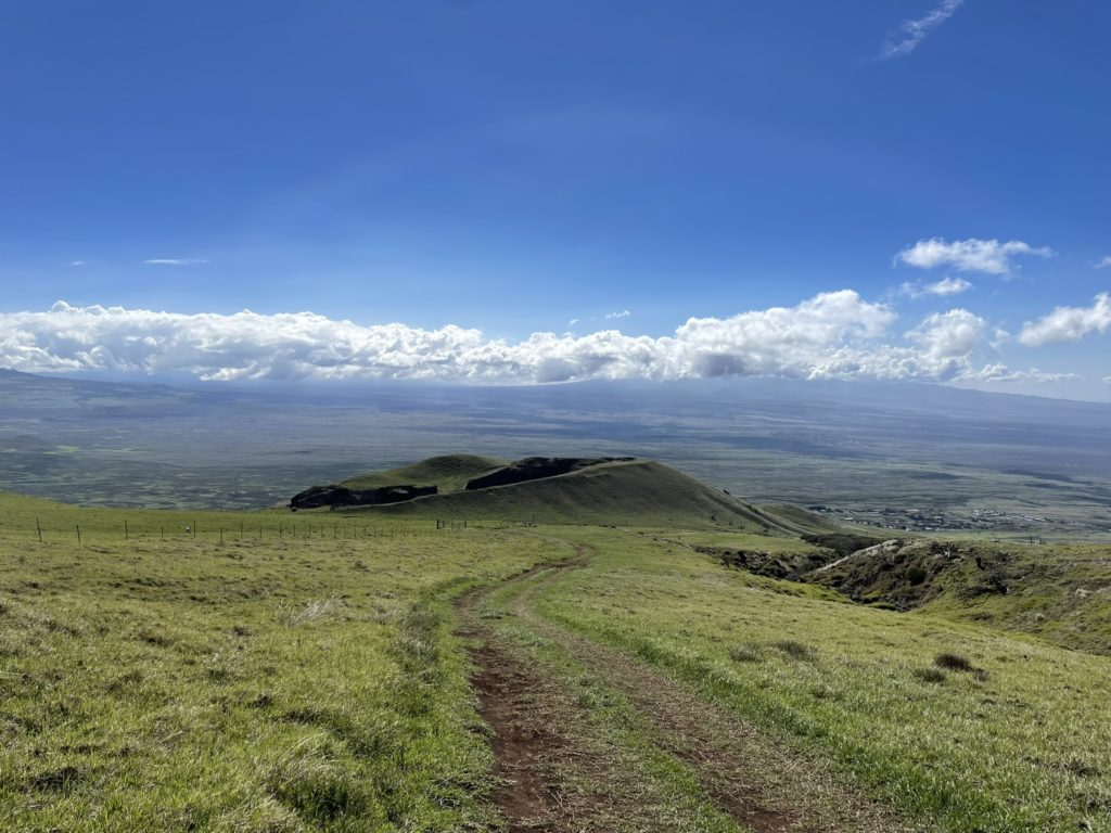
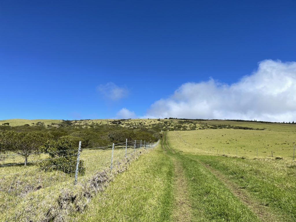
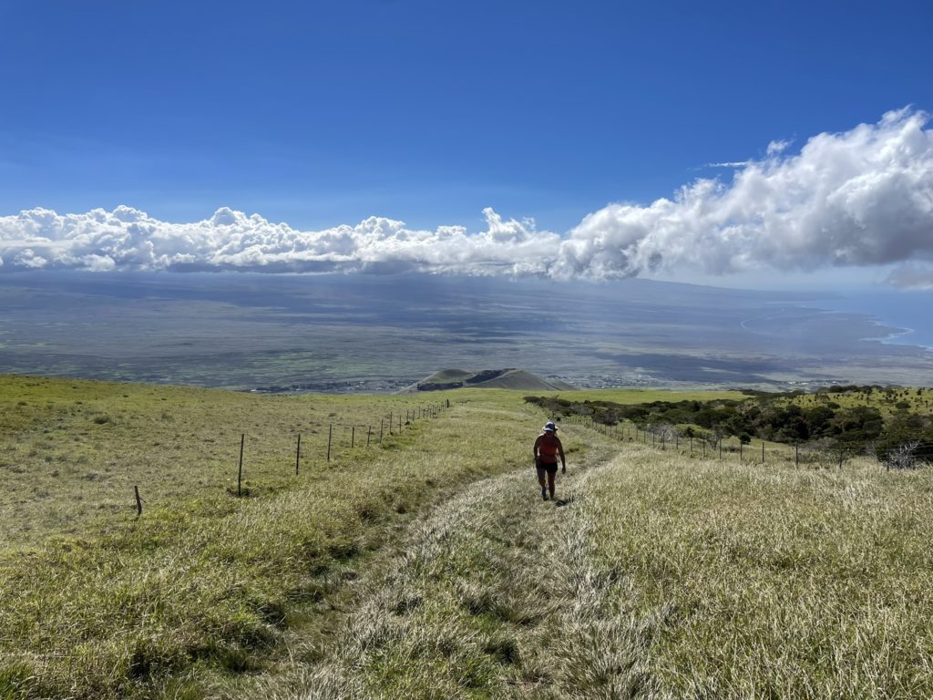
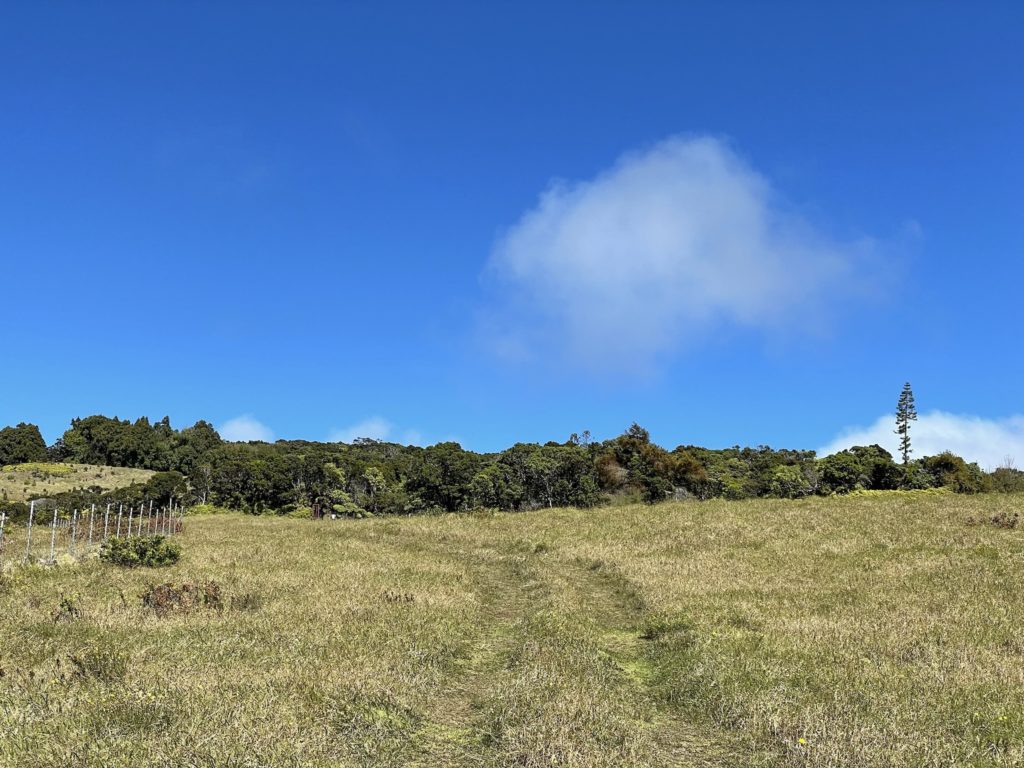
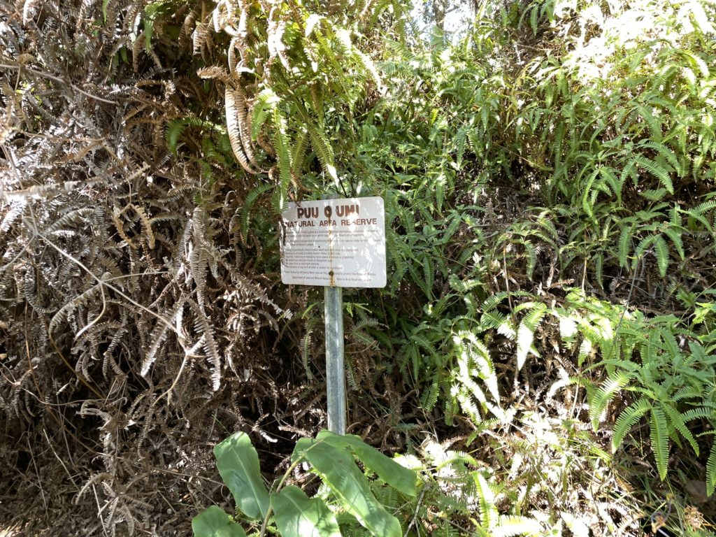
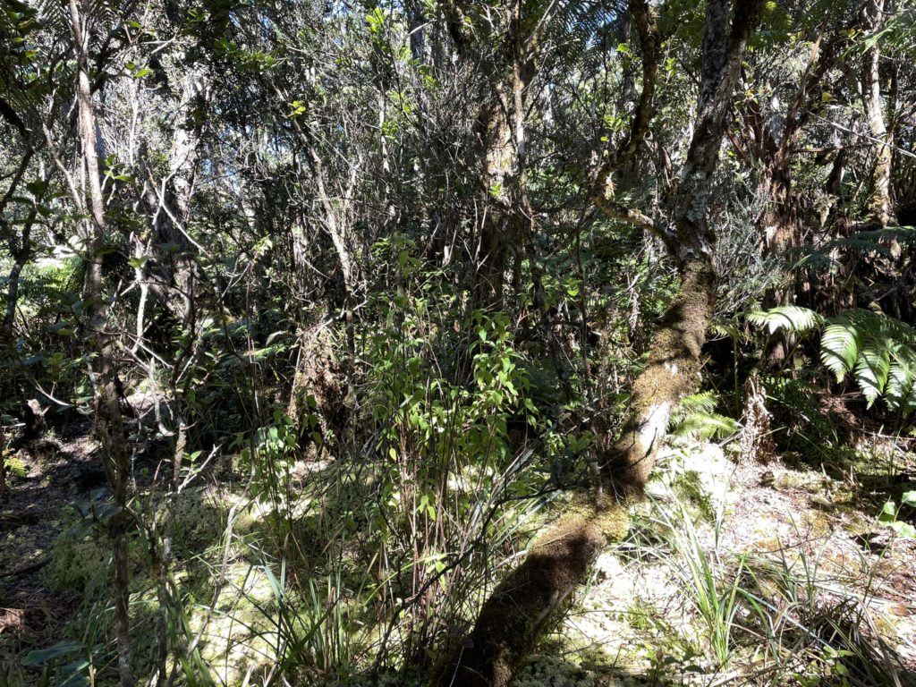
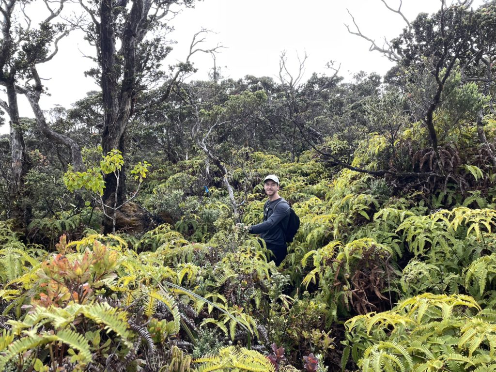
We arrived at the trail head for the Koai’a Corridor around 11:45am and hit the trail for 12pm. The route initially started through a stunted forest but quickly kicked us over to scantly used 4×4 track through the meadows. Our meadow walk continued up until about 1400m before reaching the gated entrance to a jungle. We stepped through the gate and started our way up through dense jungle foliage. There were a number of tracks criss-crossing each way and it was hard to make out which was best, but eventually I noticed flagging that stayed a consistent course. From that point we followed the flagging further up to our objective.
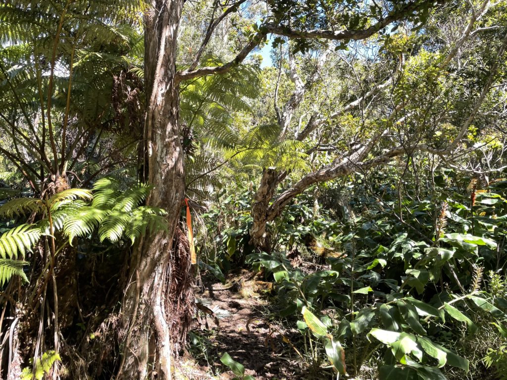
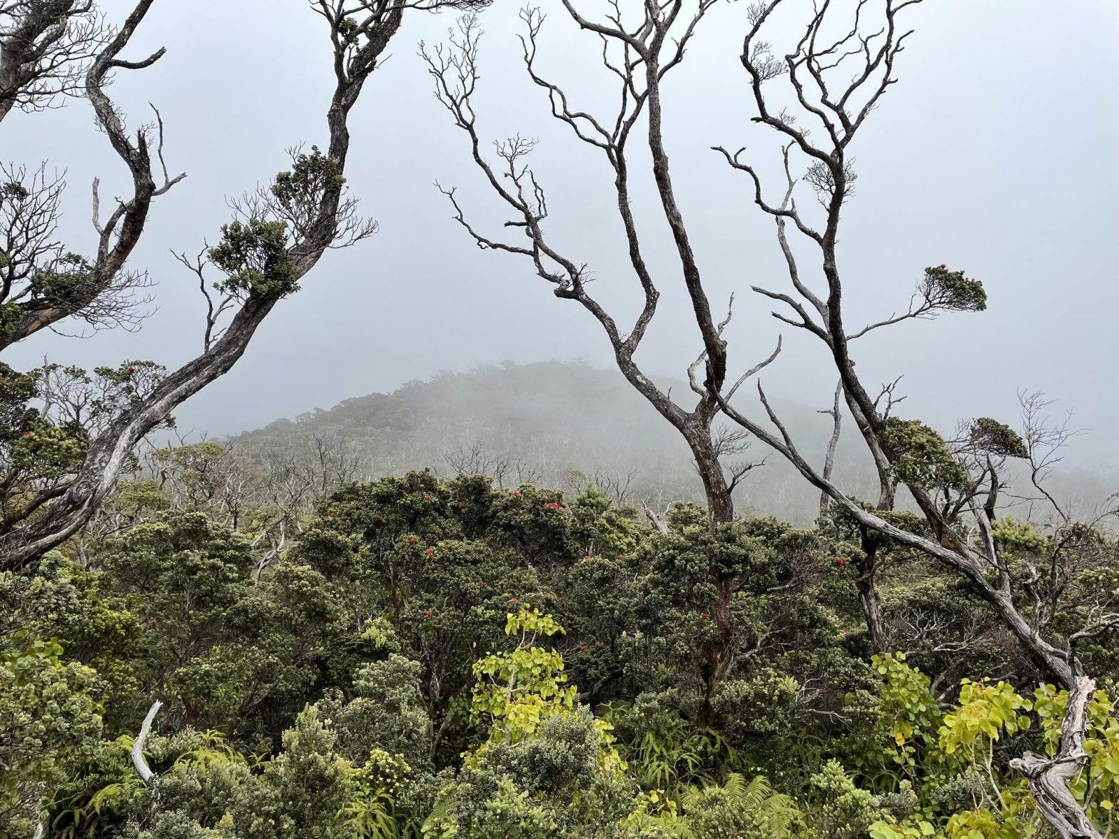
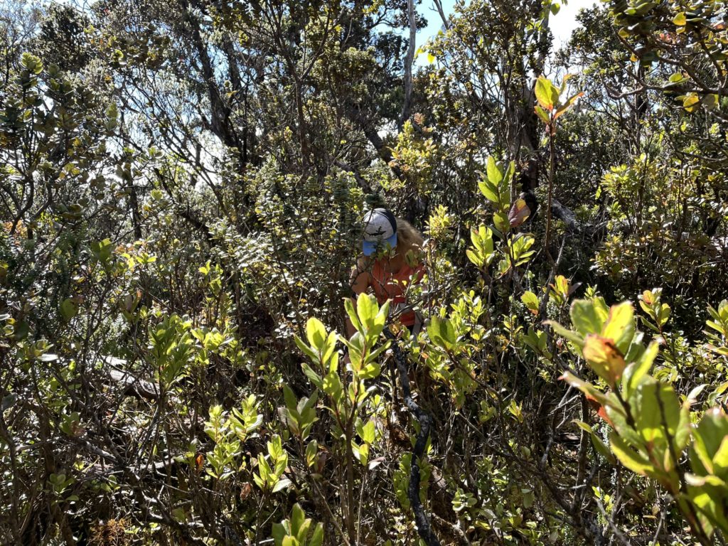
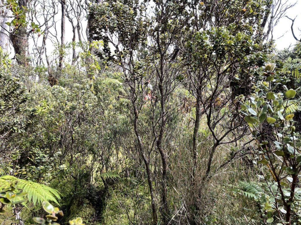
The higher we went, the more dense the brush and more muddy/boggy the trail became. Nonetheless the flags kept us on course until we lost the trail around 1525m in elevation. I wasn’t too worried as there were multiple paths we could follow that seemed to lead us towards the “Kohala” summit. We continued up the paths until they would duck under dense brush or downed trees or stop altogether. That’s when I realized we were actually following feral pig tracks (endemic in this part of the island) and there wasn’t any human path to speak of.
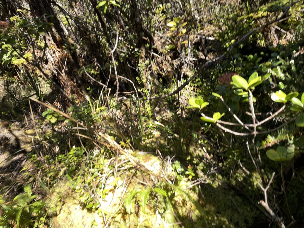
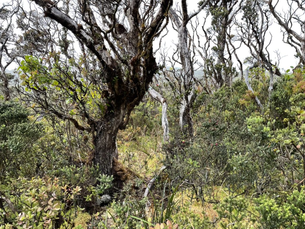
I checked the GPS and saw we were about 150m from the summit so opted to just bushwhack our way through. It was very slow going, but eventually we burst out onto a small forest opening where the summit should be. Except, there was no summit. Kohala was listed as 1670m on the map and here we were at a mere ~1590m. Now I was confused, but my mom had service so we decided to do a quick lookup. I knew the highest point in the range was called: Kaumu o Kaleihoohie and when looking on the map saw that it was also 1670m. That’s when it clicked that “Kohala” and ” Kaumu o Kaleihoohie” were effectively the same. However, the “Kohala” summit marker was just placed generically somewhere on the map and had no bearing on the true summit.
So now we had just bushwhacked through dense jungle to reach a non existent summit and I was debating on what to do. We could continue on to Kaumu o Kaleihoohie, but it was at least another hour away through dense jungle and we were just meant to be doing a short hike for the day. I pulled up the map again and that’s when I came across the minor summit of Eke. Located just 800m from us on the same ridge. While it wasn’t the highest point, it would have to do given the circumstances. My mom was very accommodating and agreed to push on to get at least one summit for all our woes.
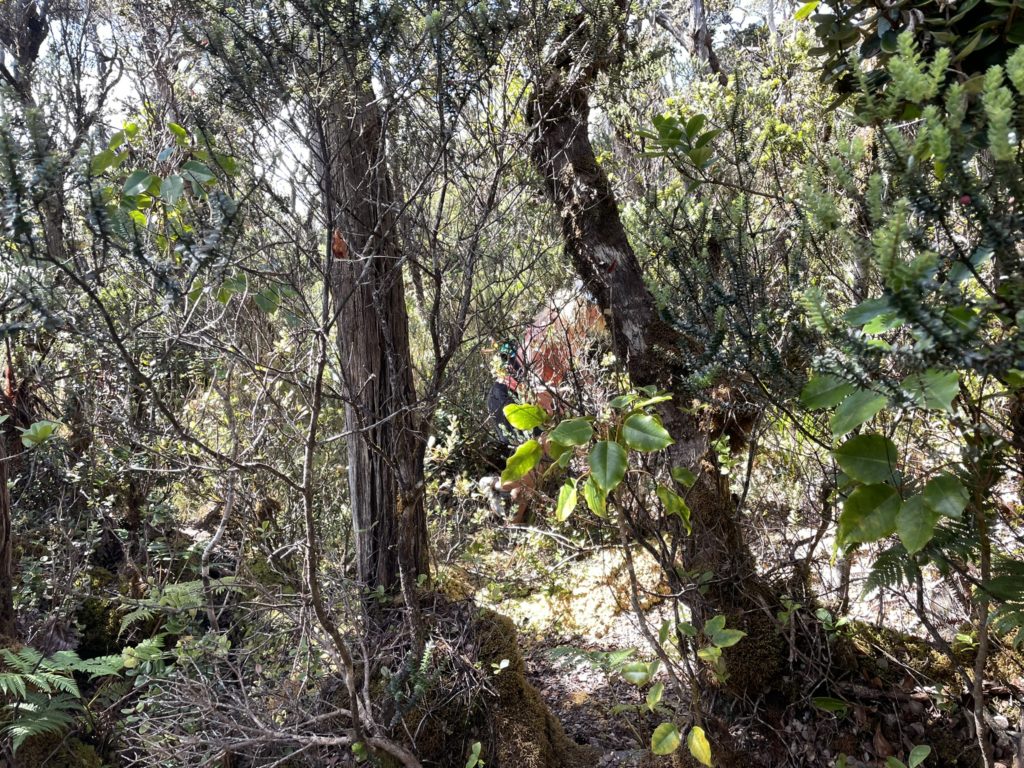
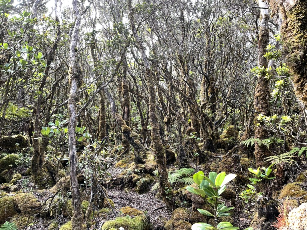
With the new plan set, we started bushwhacking again towards the summit of Eke. Perhaps only 30m in, we were thrust out onto another flat open area and by luck rediscovered the flagged trail. After a brief exploration I found one set of flags that seemed to lead towards Kaumu o Kaleihoohie, while the others headed in the general direction of Eke. There was no trail on the maps, so we didn’t know how much of a trail it would be, but it was worth a shot.
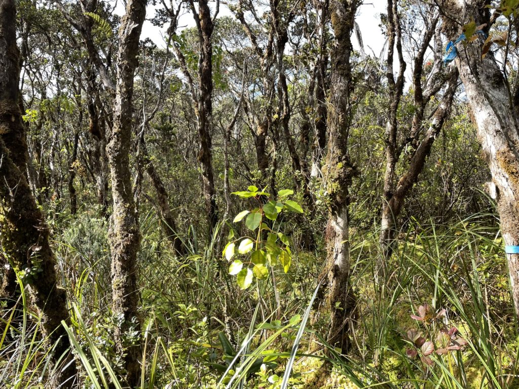
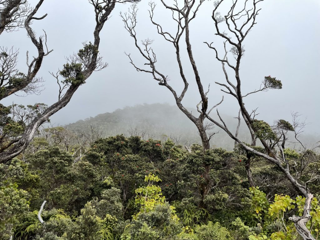
Even with the flagging, route finding was still difficult. The vegetation was waist to chest high in many places and we had to backtrack several times to find our course again. Despite that, the trail mostly had a solid foot bed, albeit narrow to follow. As we pushed on it seemed to be more and more evident that this flagging would take us directly to the summit. The route skirted around the south eastern side of Eke’s summit area and then ascended up to a small summit plateau. Here flagging took us deeper in until we were on top of the summit marker. We searched around for a higher point and stopped when satisfied that we had crossed the true summit area through our “sweeps”.
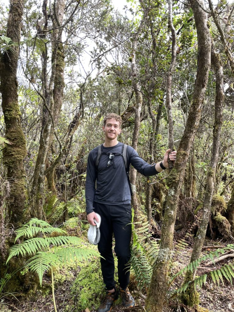
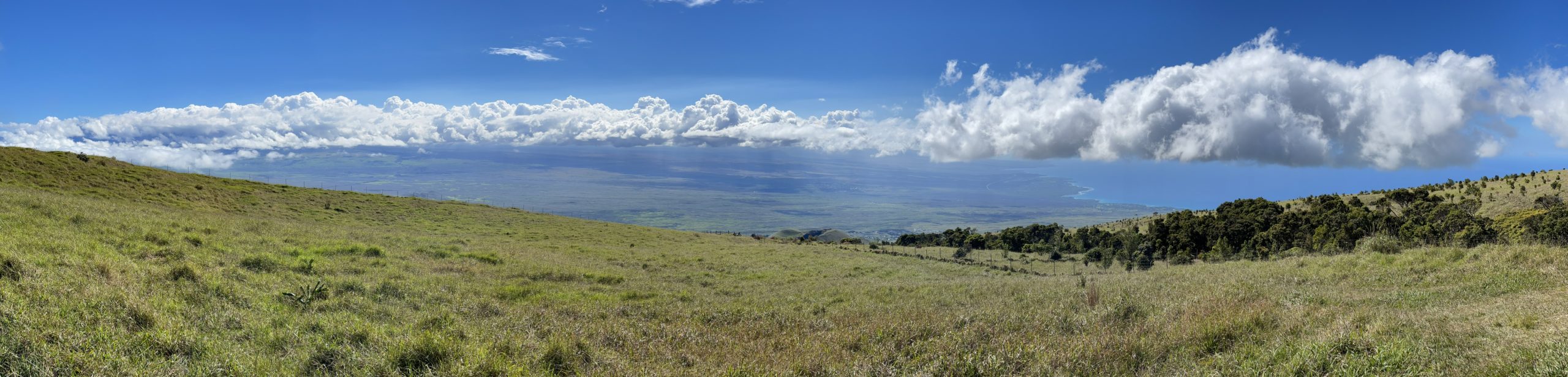
There weren’t any views and we were now getting hungry so we descended shortly after. We back tracked the flagging to the open area we had discovered from our failed “Kohala” summit attempt and then continued down the flagged route instead of our original path. Descending was still a bit tricky with locating the flagging, but otherwise uneventful. After 40 minutes or so we finally reached the jungle entrance gate and popped out on the bush free meadow terrain below.
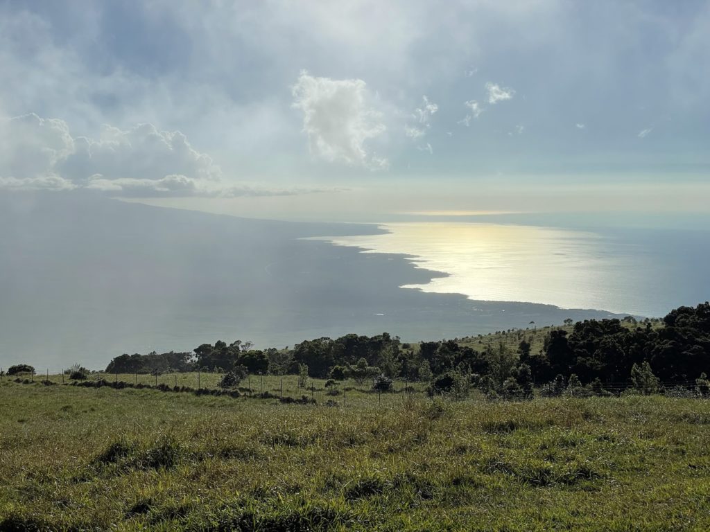
The rest of the journey was as easy it gets on a nice grassy trail and we were thankful to have the jungle part of the trek over. So, despite falling for a bad map marker, our day still worked out super well and I was happy to have tagged at least one summit for all that effort. I can’t speak for the rest of Hawaii, but it seems on the big island summit information is scant or non-existent. Someone clearly put a lot of effort into flagging the Eke route, however we only discovered it by accident (thank you very much to whoever you are). There’s no such trail on any maps I could find and Eke itself bares minimal information about its origin/history. One final note, I strongly feel a GPS capable device is a must for this route.