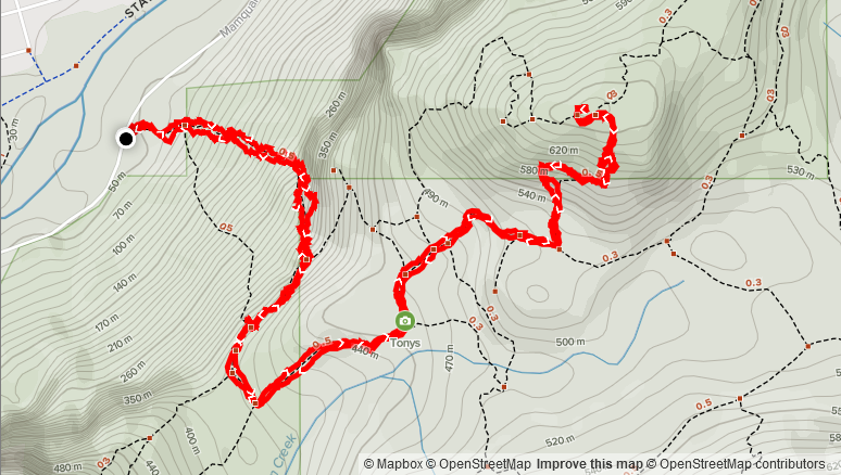
Elevation: 672m
Distance: 6.09km
Total Time: 2 hours 43 minutes
Date: November 21st, 2021
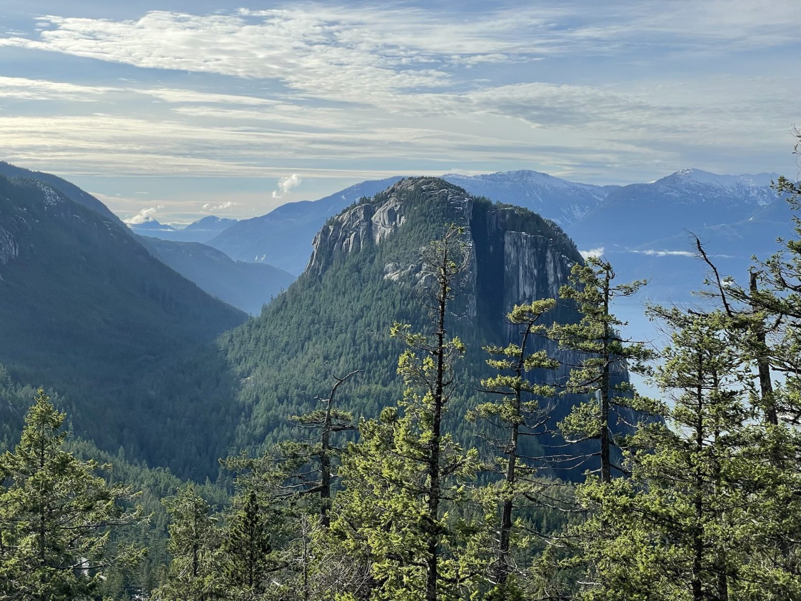
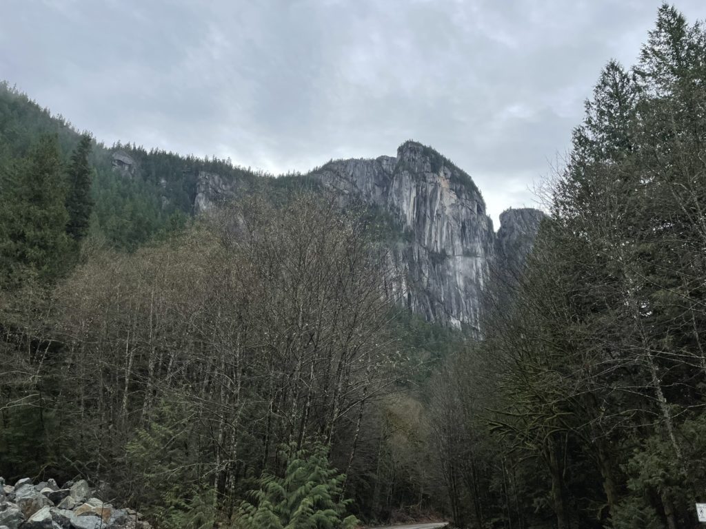
Slhanay is the shorter “sister” summit to The Chief, located directly east of Squamish. It’s only slight lower than The Chief, standing at 2182m tall and is overshadowed by it’s larger counterpart in many ways. For these reasons, it’s a much less popular objective than The Chief, but by no means is it a rarely visited peak. On the Sunday, with a good bout of weather, my friend Jacob and I were keen to do something below the snow line and Slhanay was the perfect match. I was stuck in “boot limbo” as my current pair had to be sent for warranty and I was still waiting on a new pair to arrive from another brand. As a result, I just had some trail shoes and wanted to avoid the snow.
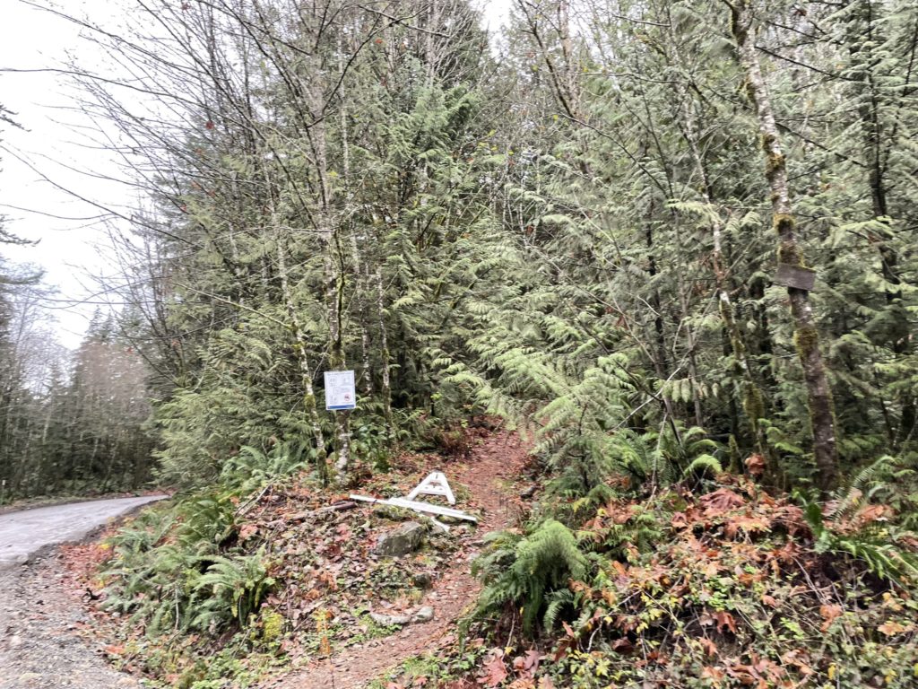
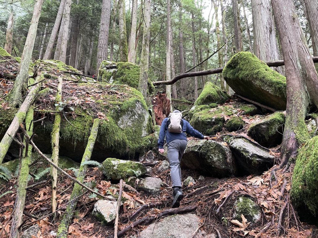
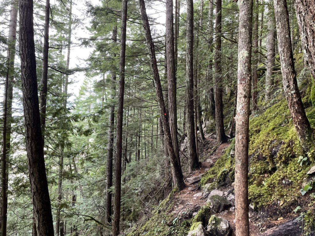
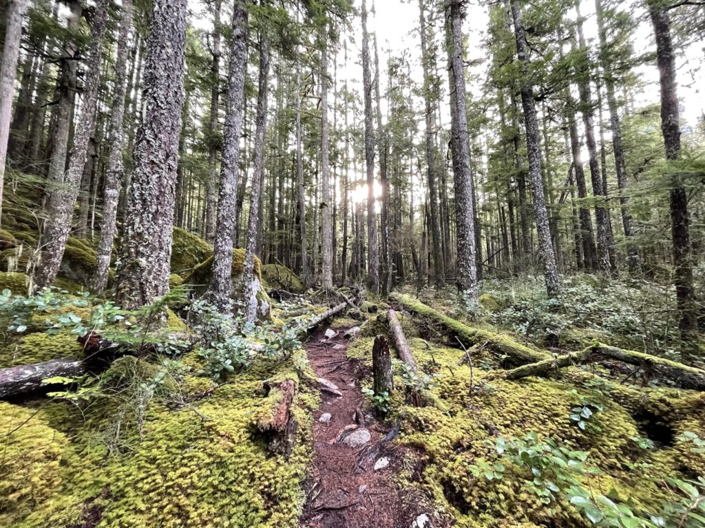
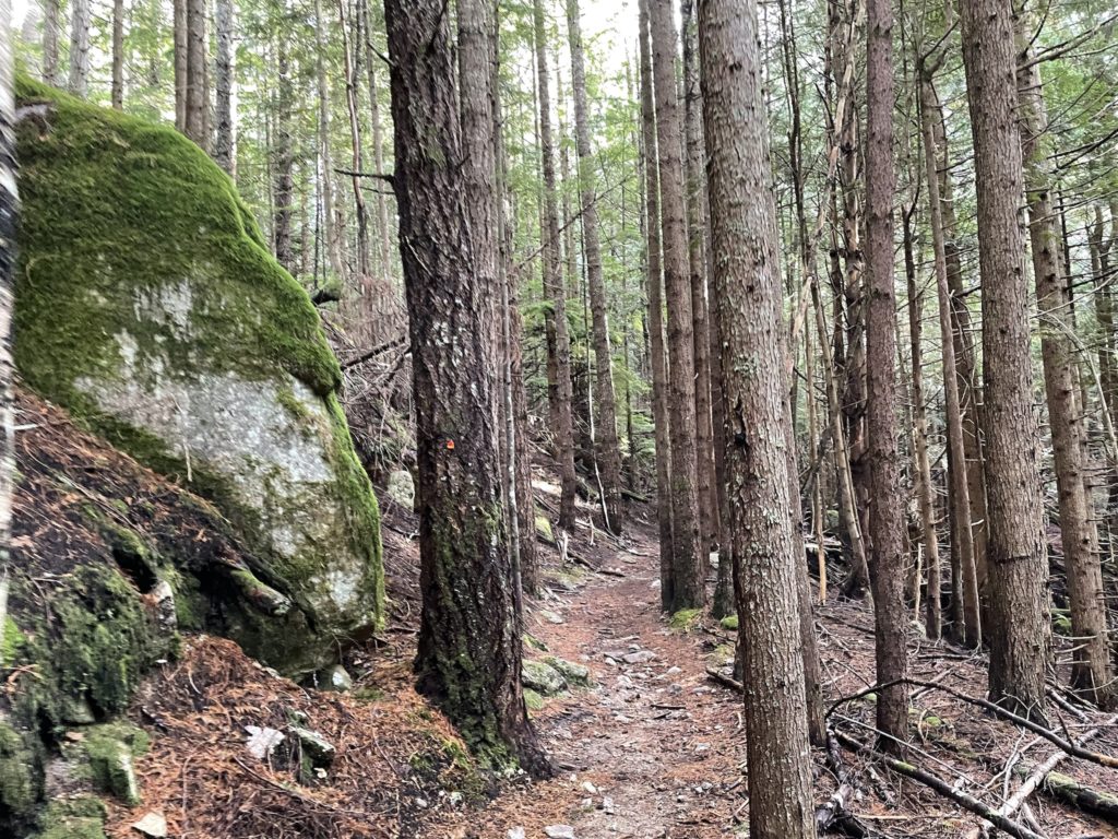
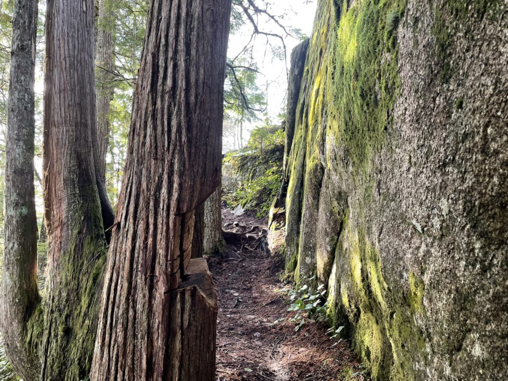
Since Slhanay is quite a short route, Jacob and I decided on a casual start and left Vancouver around 10:30am. We arrived at the trail head, on Mamquam FSR, about 1 hour later and headed up the trail. The first 200m ascended at a moderate to steep angle directly up through the forest. At about 250m we hit the base of a large bluff and skirted south around the base of the cliffs. That landed us at the The Chief-Slhanay col where we linked up with a decommissioned FSR that took us north again. The grade was very mellow and involved easy trail walking through beautiful mossy forest.
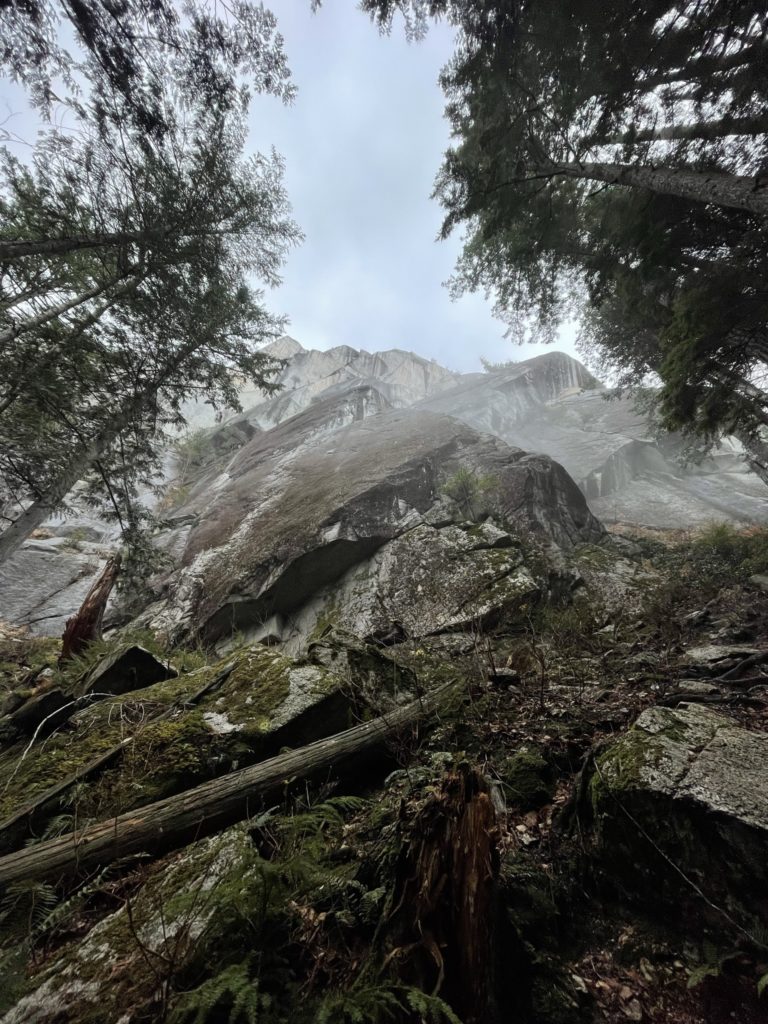
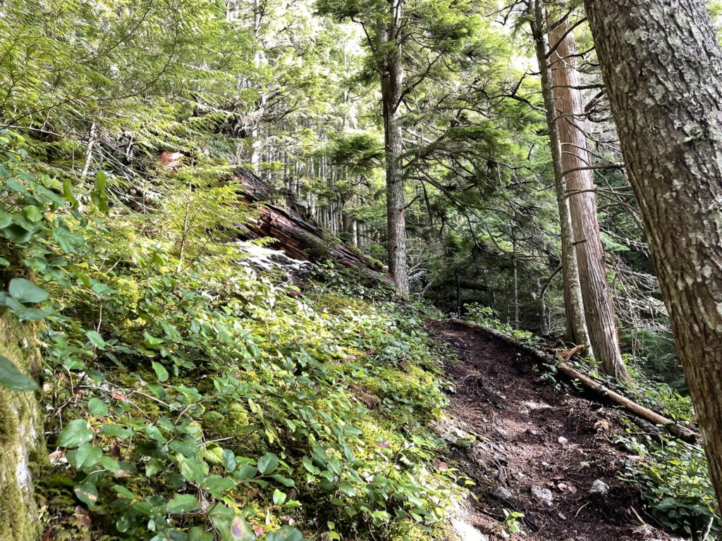
Somewhere around the 520m mark, we veered off the FSR and up the final slopes to the summit. There were quite a few flagged trail options, so we just picked on and went with it. Not long after we reached the summit plateau and then headed south about 60m the base of small set of bluffs. The route wrapped around the south end of the bluffs and then topped out on the summit.
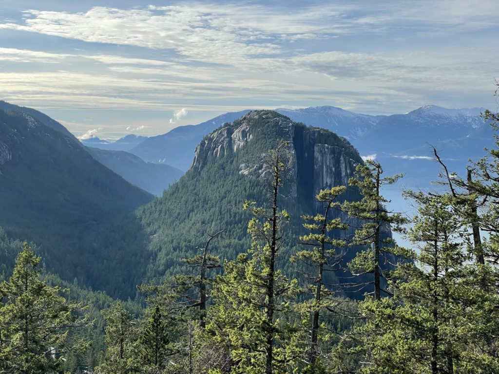
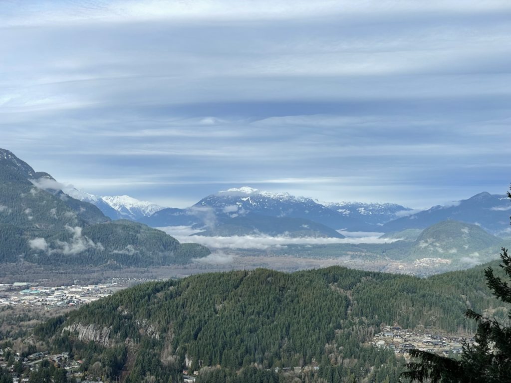
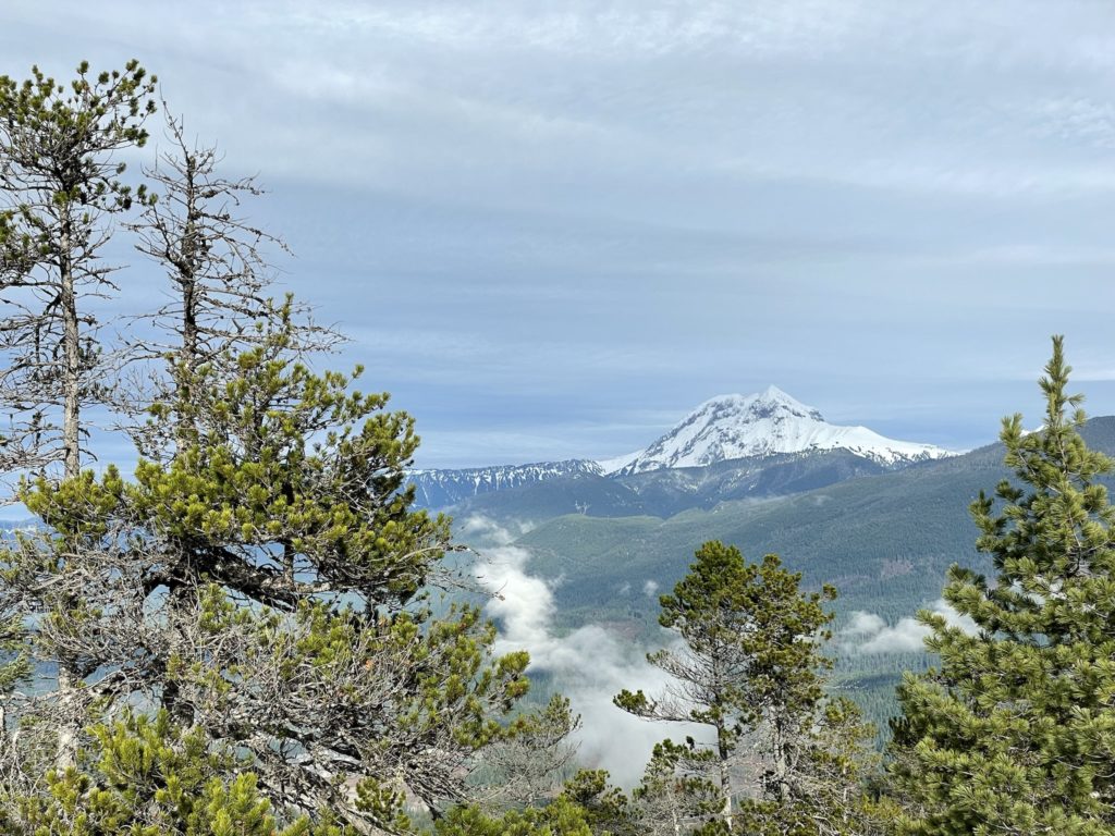
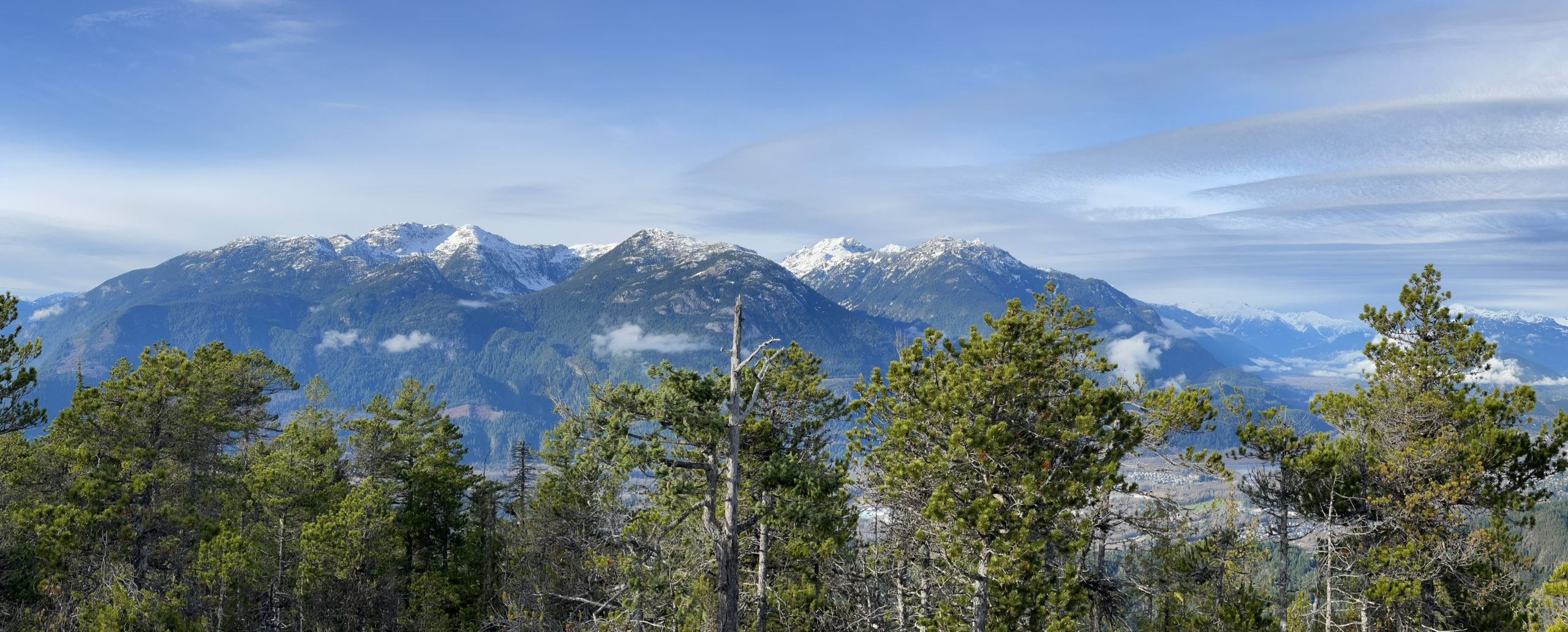
Compared to The Chief, the views are much more obstructed due to the forest, but we still had a great vantage of The Chief, Atwell/Nch’ḵay̓ and the Tantalus range. Jacob and I chilled out at the top for 15-20 minutes since the sun was out and there’s no rush on such a nice day.
After getting some food, we started the trek down and passed at least 3-4 parties on their way up. The descent was uneventful, although the large rocks and roots were not conducive to a quick pace and we had slow things down to avoid any big slips. In short order we were back the car and heading home to the typical Lions Gate traffic. Overall a great hike and an easy summit to tag. The forest is really special in this area and I would put this high on your list for an easy outing.