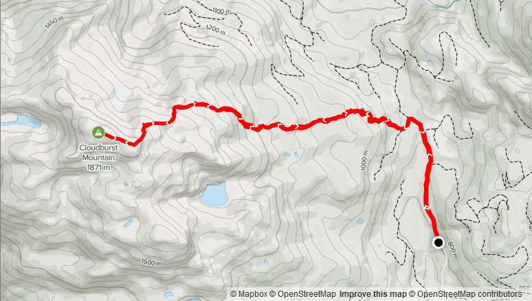
Distance: 12.99km
Elevation Gain: 1,126m
Total Time: 4 hours 31 minutes
Date: May 4th, 2021
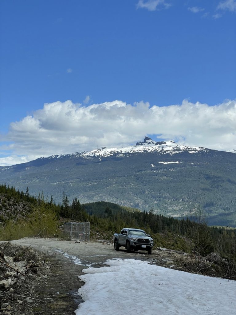
It had been a little while since I’d taken any time off from work and with a weather window opening on Tuesday, I decided it would be the perfect time for a vacation day. The weather all over the Sea2Sky was looking promising with partially cloudy forecasts in most locations. This had me thinking, it may be worth giving some bigger objectives a shot. In particular I had Mount Miller or Sugarloaf near Pemberton on my mind. I did a last minute reach out to the SWBC Peak Bagger group to see if there were any interested parties, but there weren’t any takers. I did however, receive some very useful information that the FSRs are usually clear by June and enables you drive up to ~1350m in elevation. With that info, I bailed on my loftier objectives and opted for Cloudburst Mountain instead as both Steven Song and Andrew Knapman from the Peak Bagger group had just been up there. It had the added bonus of being only an hour and a half from home so I could still complete my afternoon errands.
Prior to Steven and Andrew’s reports, Cloudburst Mountain had been on my list for a year or so. It’s not a very technical objective, but it poses some avalanche hazards in the winter and spring time. Furthermore, in the summer time it’s apparently a bush whacking nightmare, so winter and spring appear to be the best times to do it. It stands at 1871m and the most common approach that I’ve seen is via the Chance Creek FSR and then picking a route through the Northern aspect to the top.
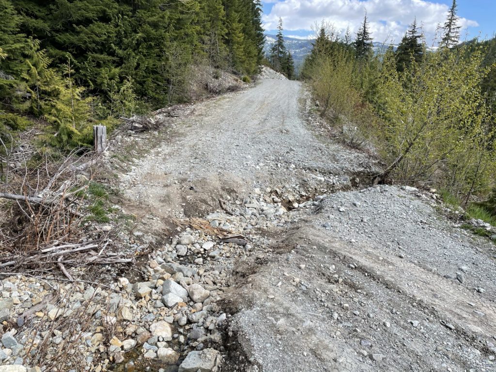
On Tuesday, I left much later than anticipated and didn’t arrive at the start of the route until 10:15am or so. By 10:30am I was on the trail and the sun was already out in full force. I was concerned that by the time I made it near the summit, the snow would have deteriorated too much. Thanks to Andrew’s report from Sunday, I knew the snow had been rock solid then, but I wasn’t sure how late he had started. Nonetheless, I put it to the back of my mind and started the plod down the snow covered portion of Chance Creek FSR.
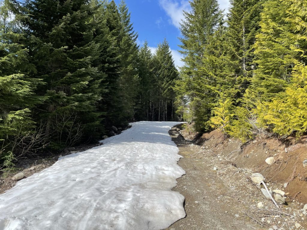
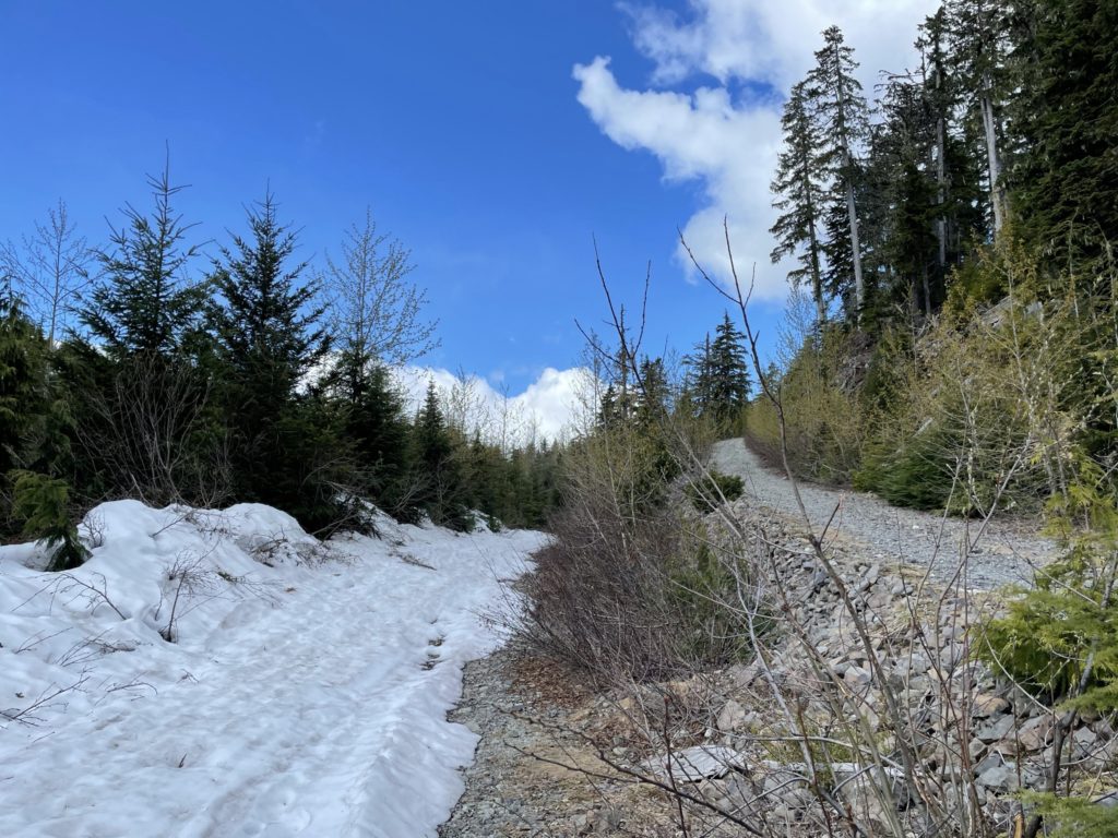
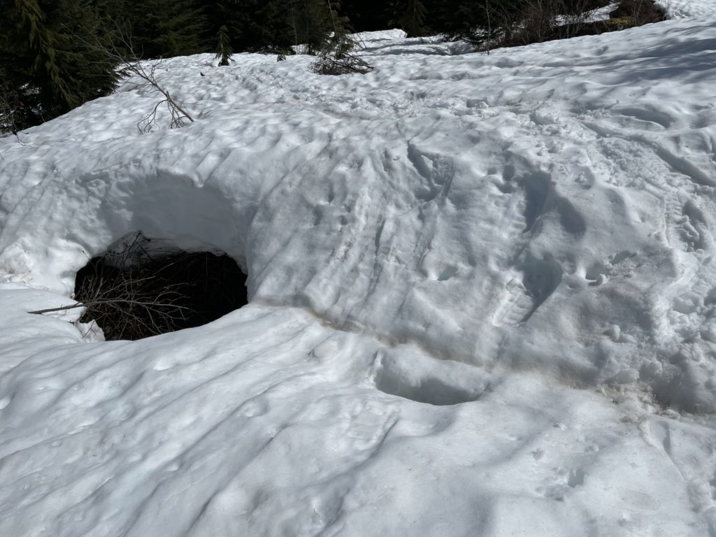
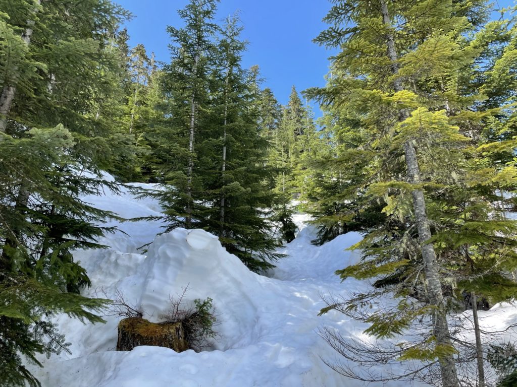
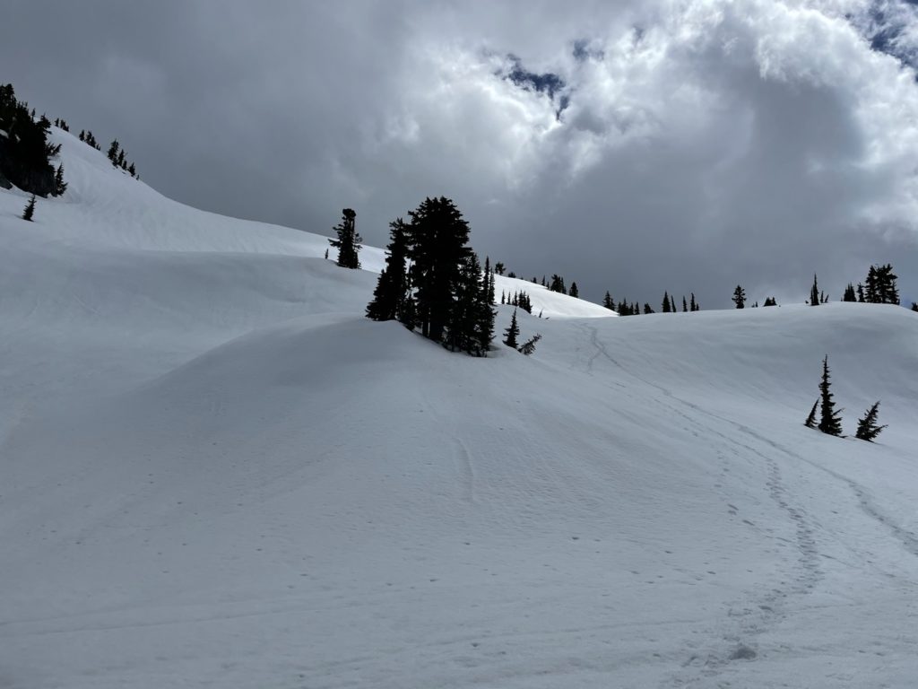
After a 1.5km or so, the route veered off the FSR and up through some bluff guarded forest. Thankfully, Andrew and Steven’s tracks were still fully visible so it was just a matter of following their prints up through what must have been annoying to navigate terrain. After the initial micro terrain it was a straightforward plod through the forest until up 1200m. The snow was pretty variable along the way, but was solid enough that it eased any concerns of mine. After the 1200m mark, the terrain steepened and pushed up through a bowl of sorts. Again, I was able to follow the existing tracks and steepness didn’t pose any real problems.

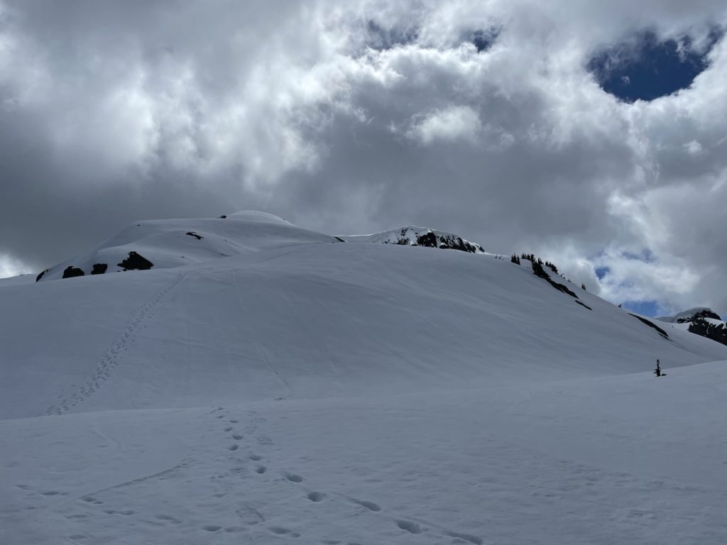
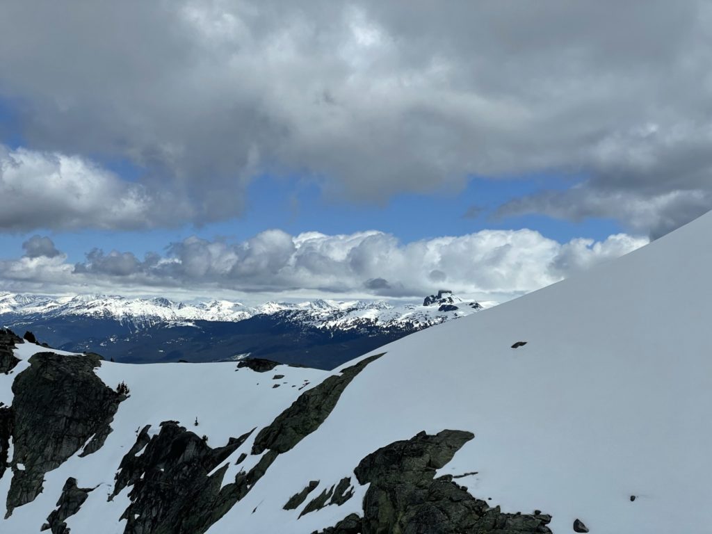
At about 1500m, the trees started to fade and I was met with a steep rolling slope perhaps 100m in height. There were a few different tracks here, including one that followed straight up the slope and one set towards a mellower sparsely forested ridge line. I opted for the mellower line as this slope had been getting blasted by the sun for at least a few hours by the time I arrived. I was really starting to feel scorched by the sun at this point as I had been out of the trees for awhile now. I paused part way up the slope to get some water and shade and by chance a big set of clouds moved in and covered up the sun. With some reprieve from the heat, I pushed up and over the steep slope.

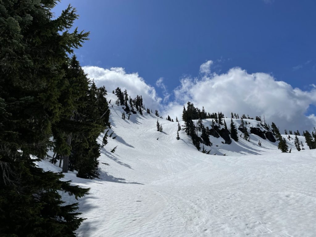
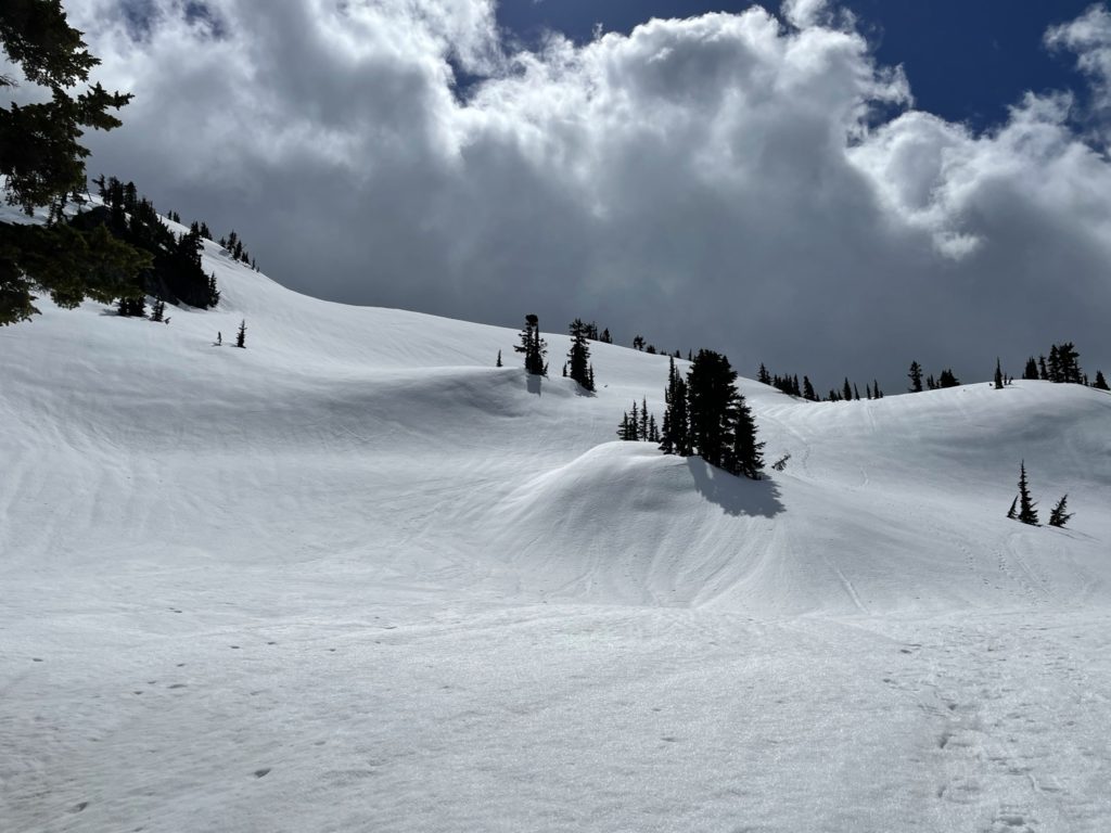
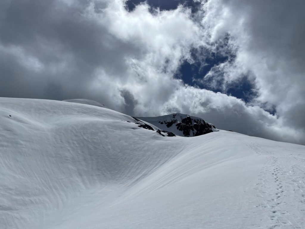
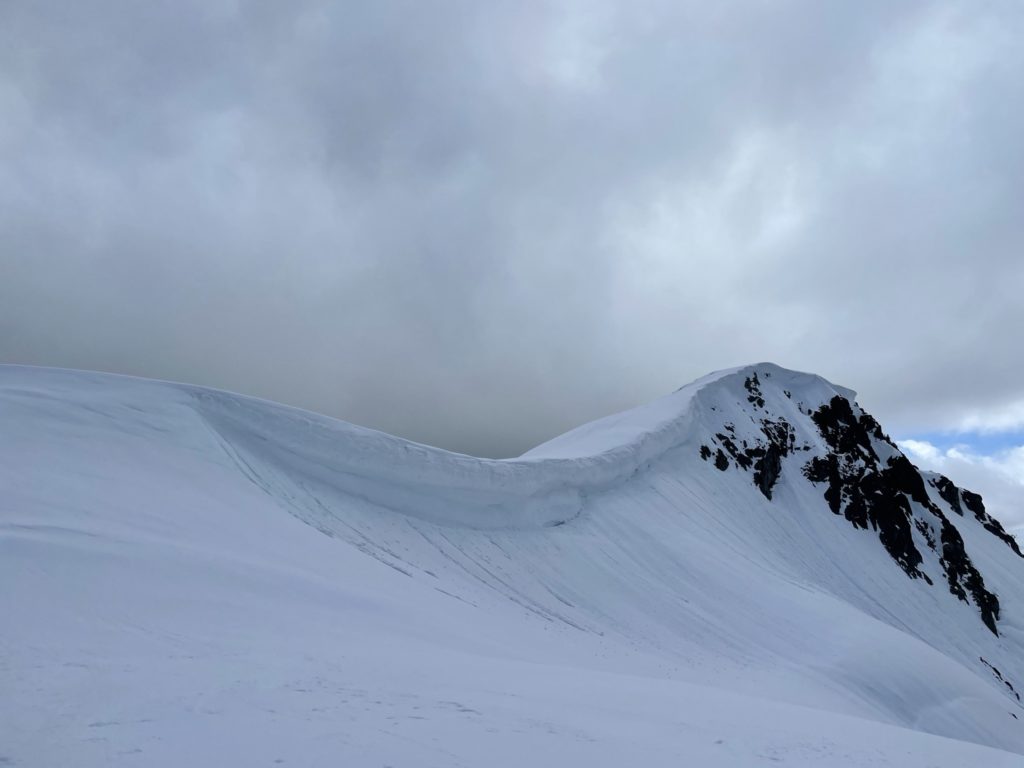
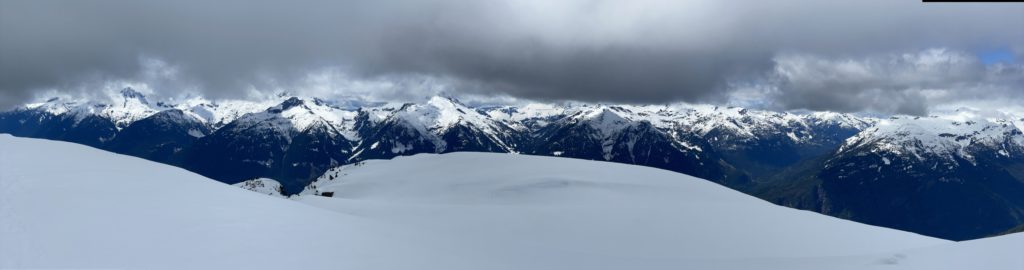
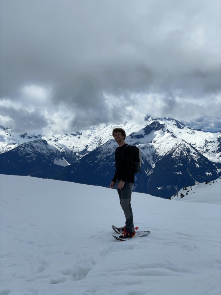
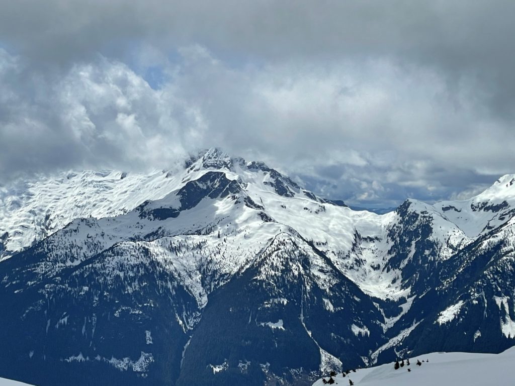
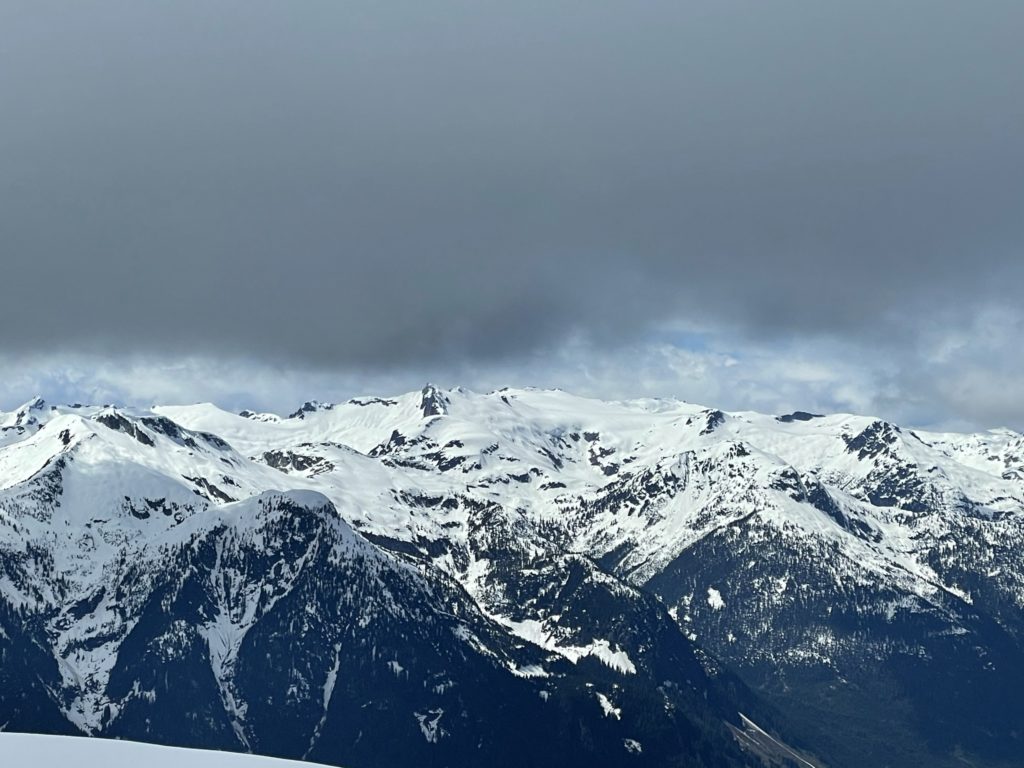
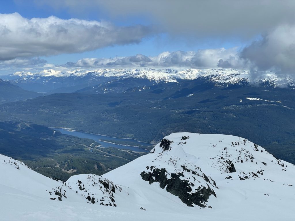
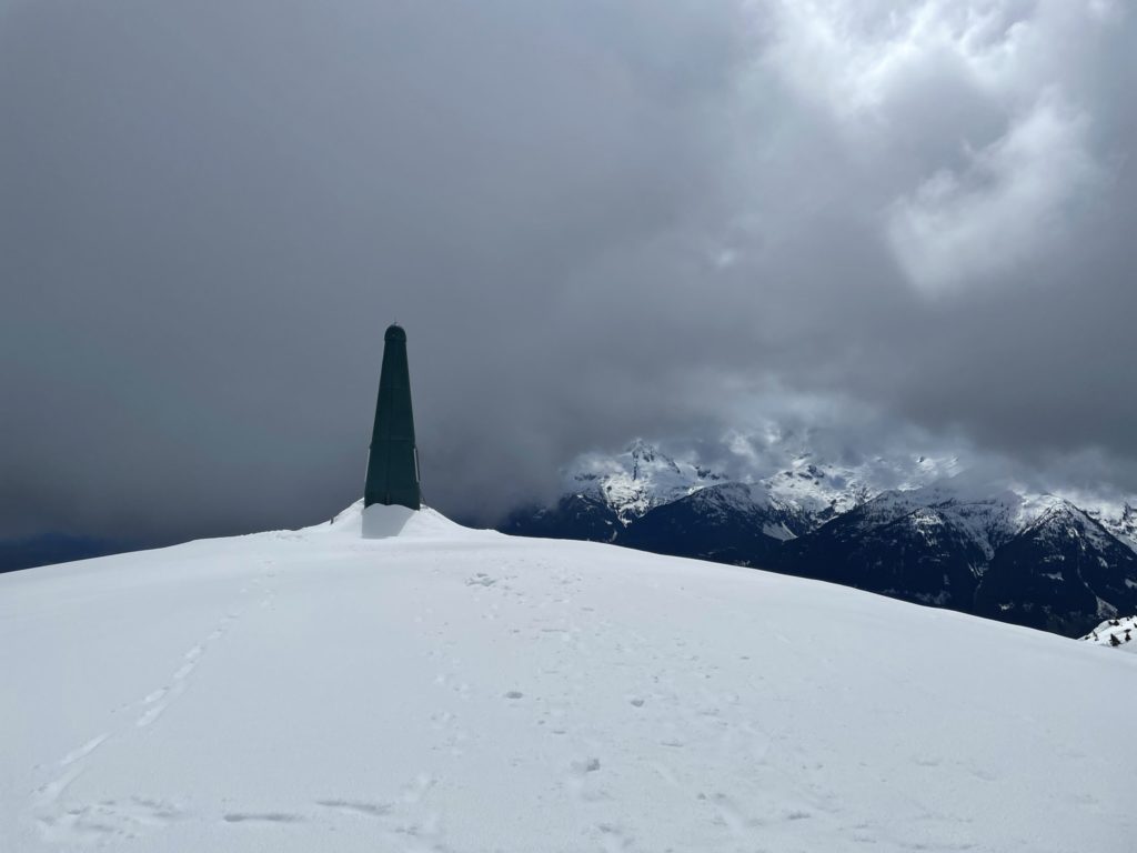
Here I was able to get a first glimpse of the summit. There was another 100m or so of steep rolling terrain to reach the summit ridgeline and some high consequence terrain depending on the line you picked. Thankfully, the snow was rock solid still and I was able to pick a decent line to the ridge while avoiding problematic terrain traps. Finally on the ridge line, I noticed the snow changed quite a bit. It was very isothermic at the top, but the summit ridge was super mellow so no concerns from me. From there it was a basic push to the top where some man-made towers stood.

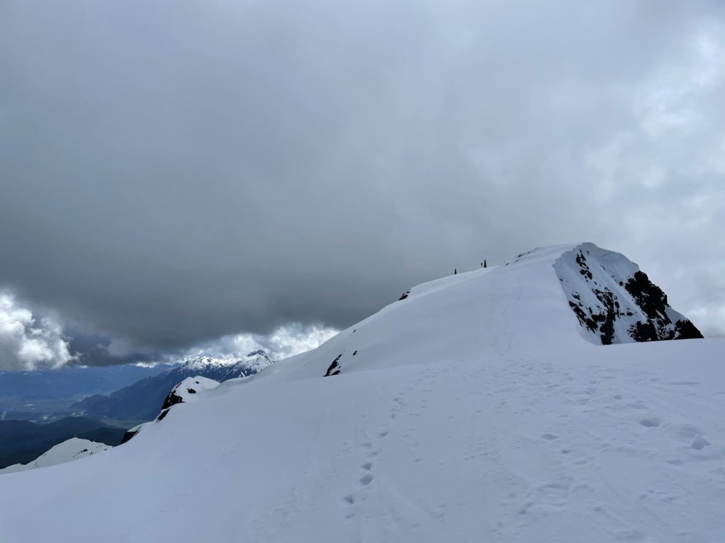
I hung around at the top for a bit taking an endless amount of photos and then had to start my way back to have time for afternoon errands. Coming down, I swapped snow shoes for crampons thinking it might be easier on the steep firm snow. From the summit to first steep slope was post hole after post hole, but it paid off when I did finally descend the steeper stuff. At the 1780m I swapped back with the snow shoes and made the plod down the last steep pitch. The snow had warmed up even more now and was quite slushy, but it made it kind of fun to almost ski down.

After the last steep pitch was out of the way, it was a basic hike back to the car following the tracks I took up. On one of the slopes I thought I’d try sliding down and ended up catching my snow shoe, face planting and crowning myself the scorpion king. The perks of going solo was there there were no witnesses to catch this mishap. I recovered and pushed down through the forest all the back to the truck.
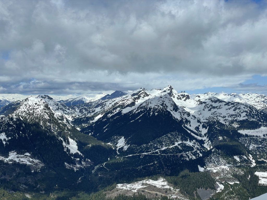
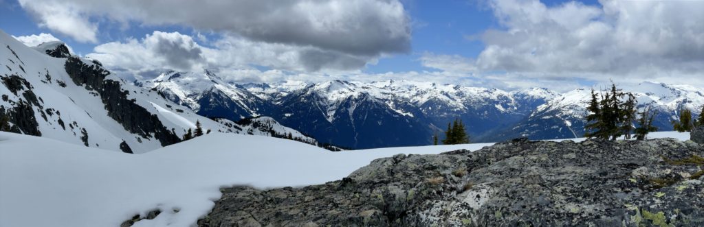
I’d say Cloudburst should definitely be high on everyone’s list for the views alone. The route itself isn’t crazy fun, but if you go late enough in the year you can avoid a long walk on the FSR. For a solo ascent, it’s pretty straightforward, but be mindful of the avalanche terrain especially deeper in the winter.