
Elevation Gain: 2023m
Distance: 16.9km
Total Time: 11 hours 48 minutes
Date: August 28th, 2021
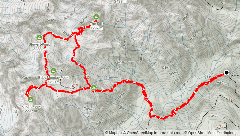
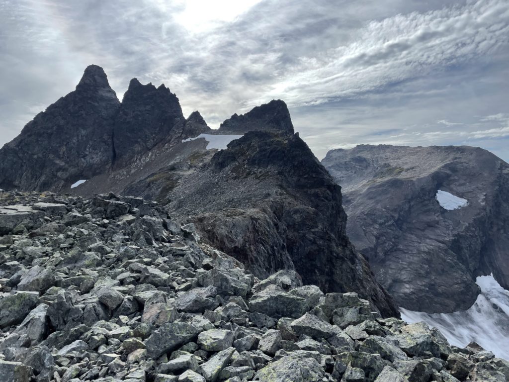
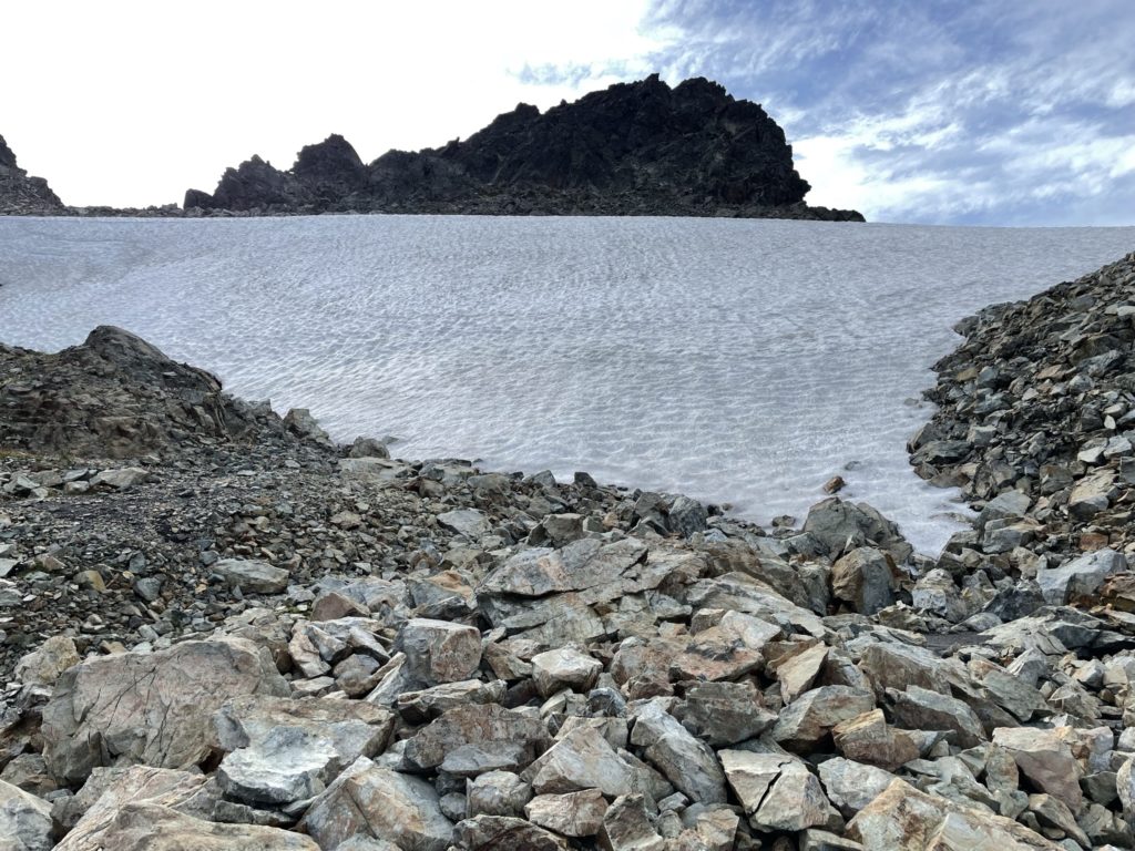
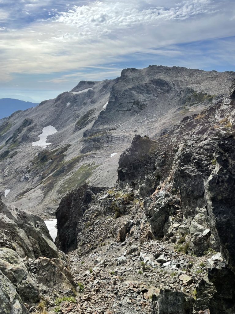
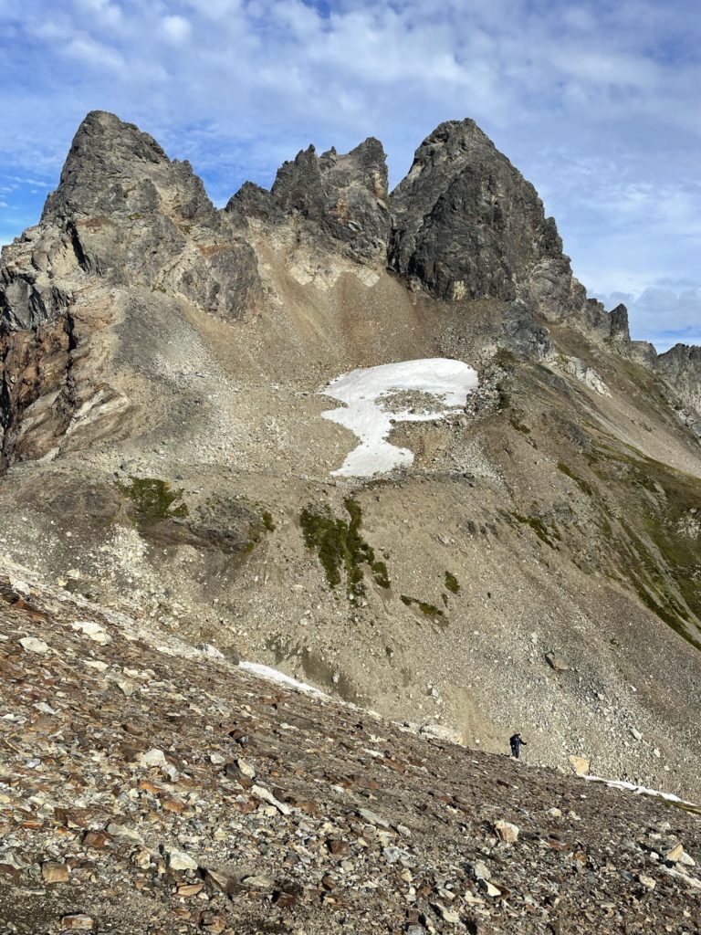
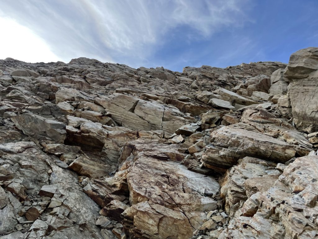
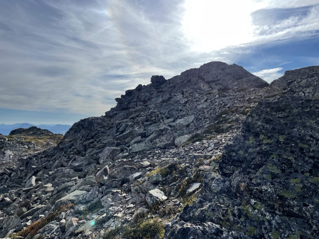
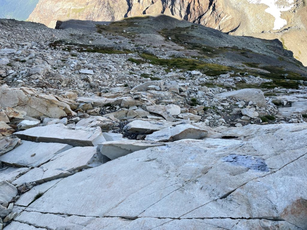
Kyle and I were now traversing across the small glacier south of Stewart Peak on our way to Knight Peak. The final summit objective of our day was also slated to be the easiest. The route up involves nothing more than a hike with some optional scrambling just below the ridge. To get there, Kyle and I had to get past the glacier and then ascend the scree/talus slopes towards Baby Munday’s north summit. We made quick work of this section and then had a short snow pitch to cross. Thankfully the snow was still warm and I was able to make solid kick steps all the way across. I asked Kyle beforehand if we wanted to grab the north summit along the way, but given it’s not the true summit and I’ve already been up there, he suggested we skip it. With that decision in my mind, we continued through the notch between the north and central summit and down the steep scree slope to the Baby Munday-Knight col. The scree was loose and made more another run of boot skiing all the way to the bottom. The unfortunate part here is losing just over 100m of elevation that has to be regained from the col, but at least the descent and re-ascent was easy enough.
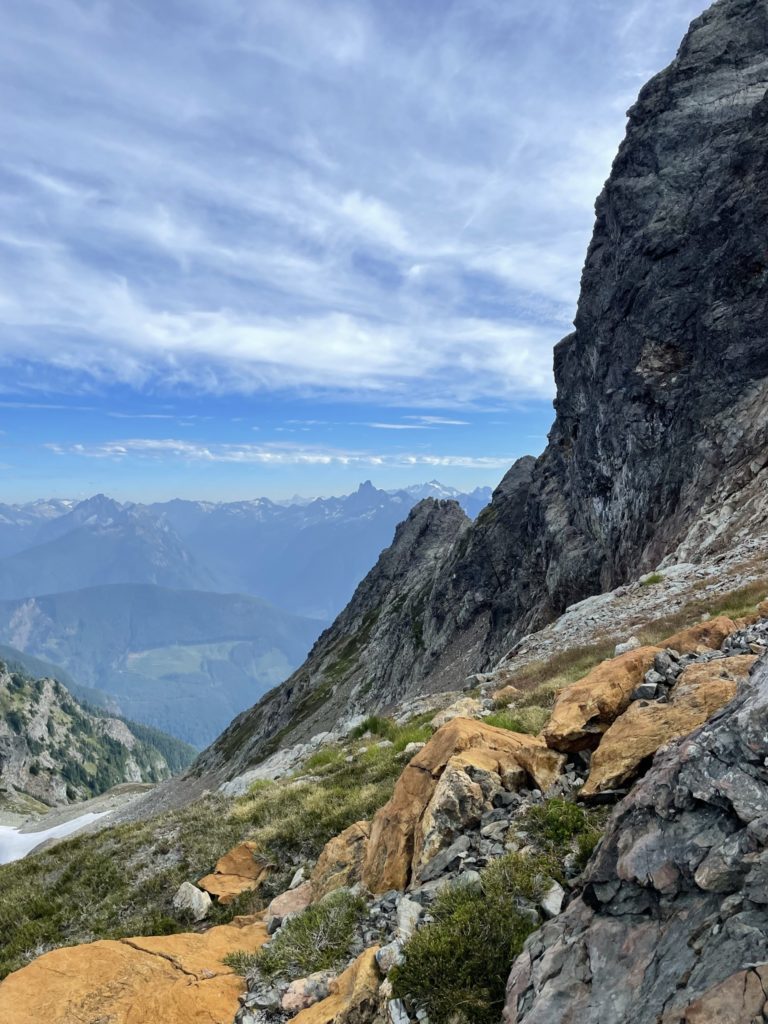
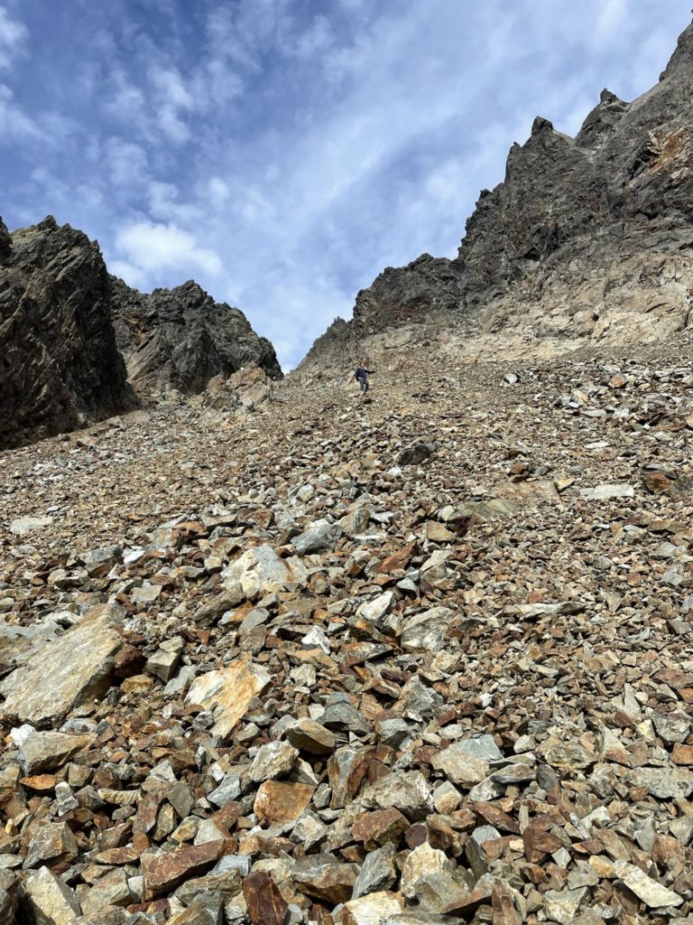
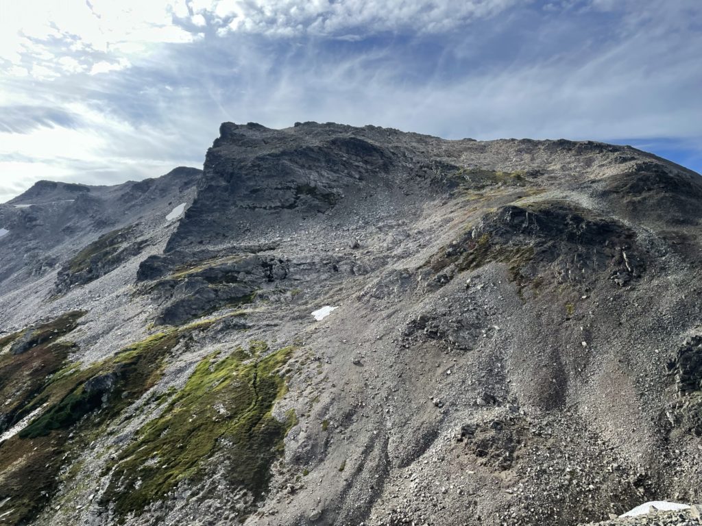
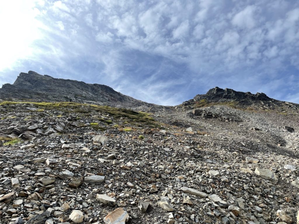
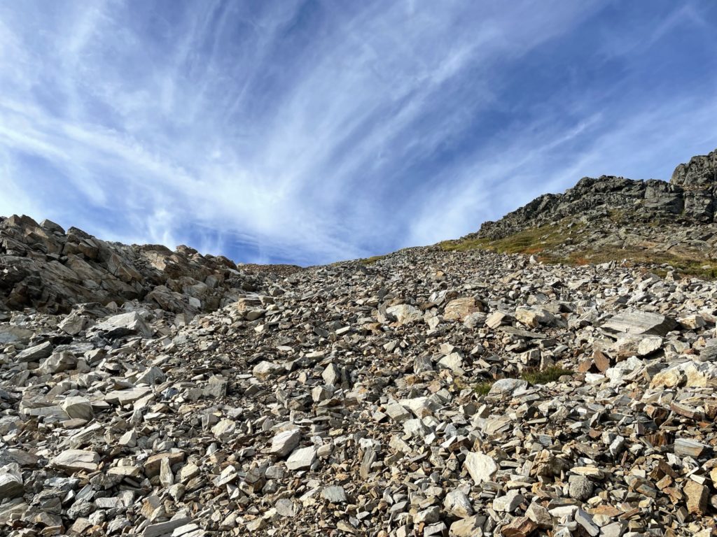
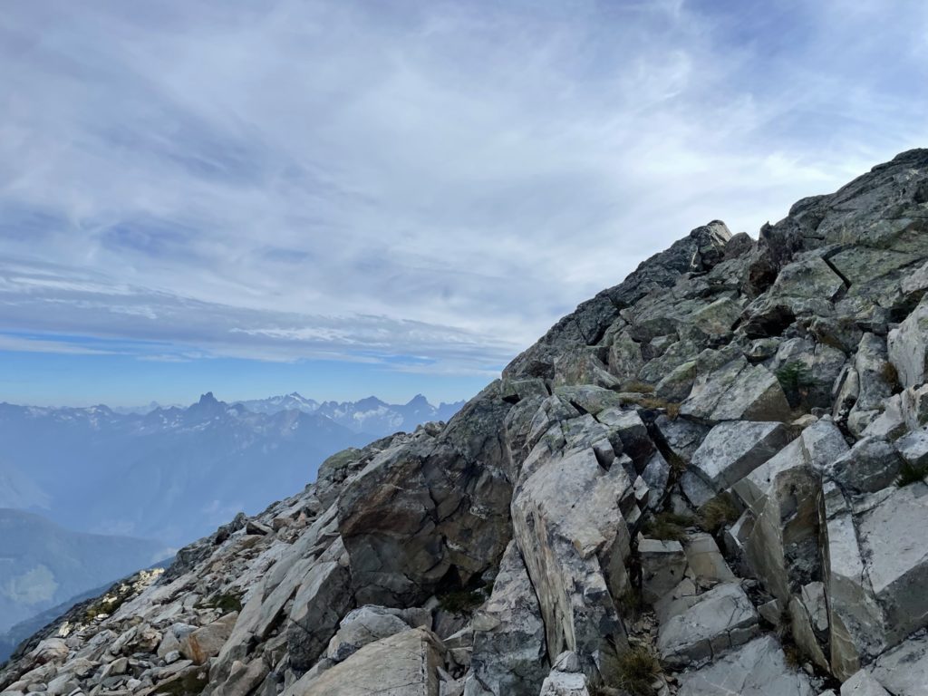
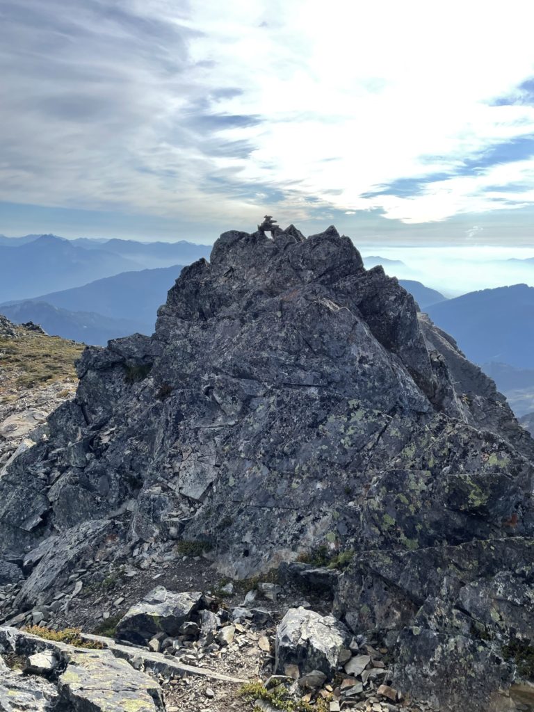
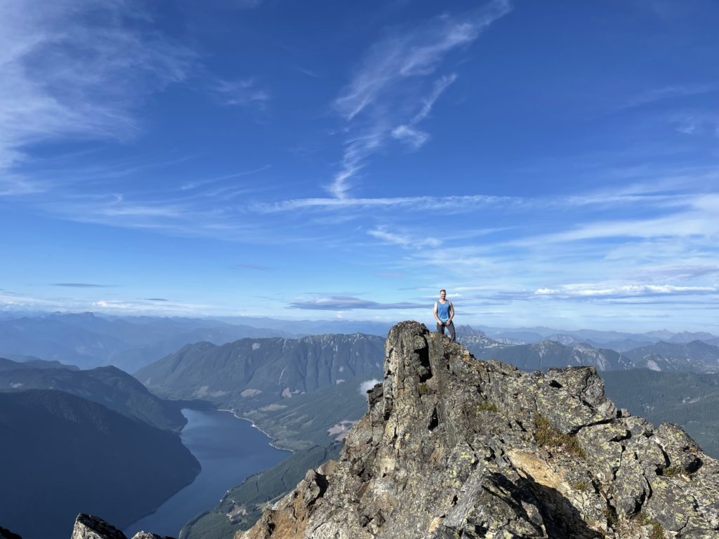
Once at the col, I picked out a straightforward line that lead to mellow ramp all the way to the ridge. Technically speaking there’s not much to say and it was just a matter of putting one foot forward then the next. We topped out above the ramp onto a broad shoulder below the ridge. Here, we stuck more climber’s right to avoid 4th and 5th class terrain and kept it 2nd class at most all the way to the ridge. When we reached the top of the ridge it was a simple traverse, albeit a bit foreshortened, all the way to the summit.
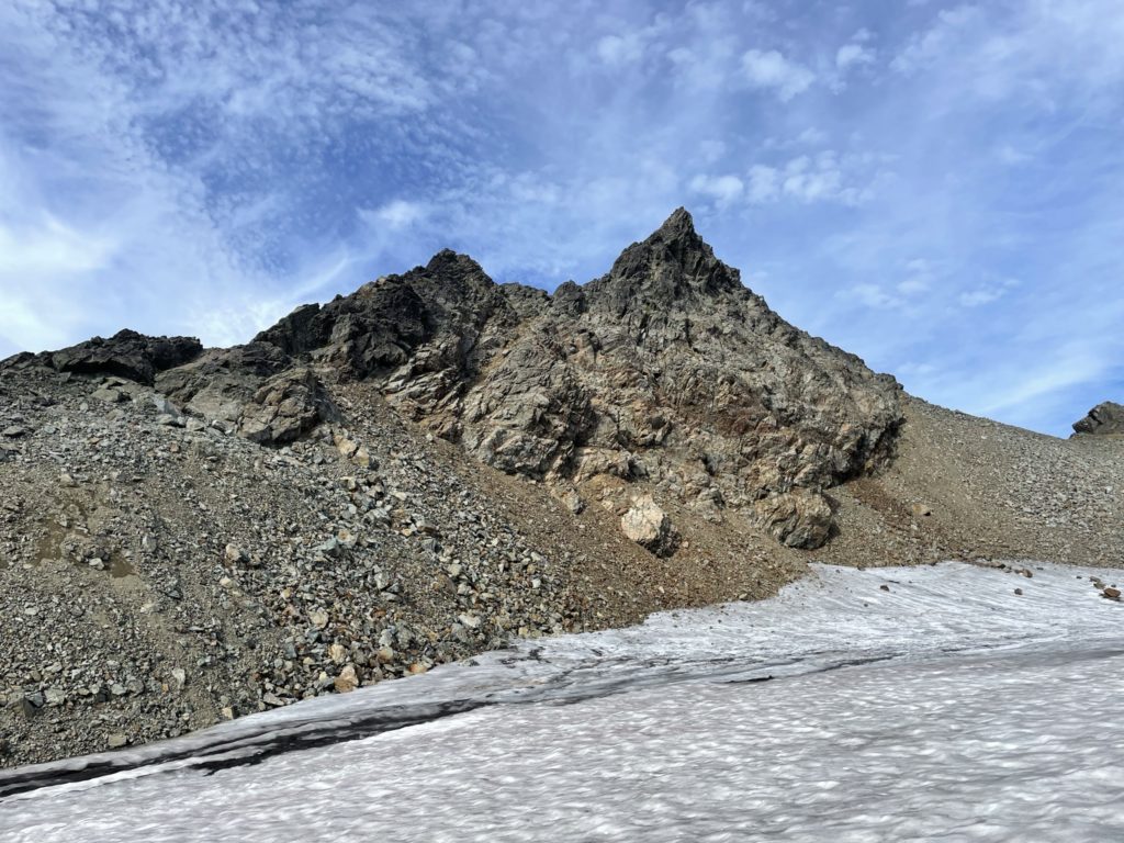
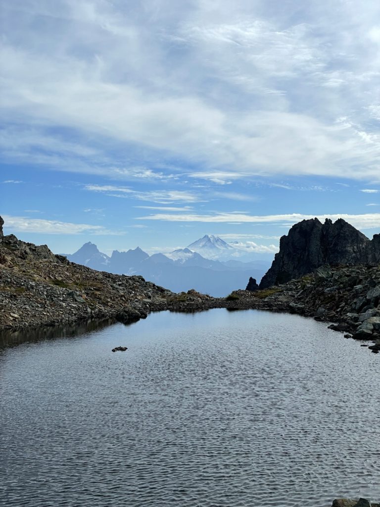
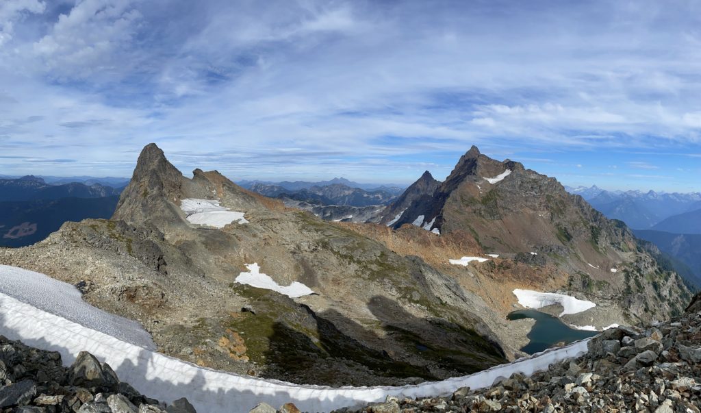
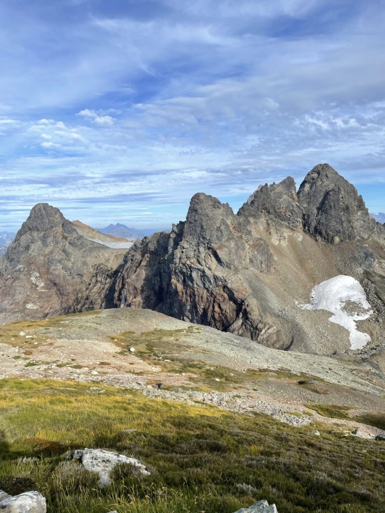
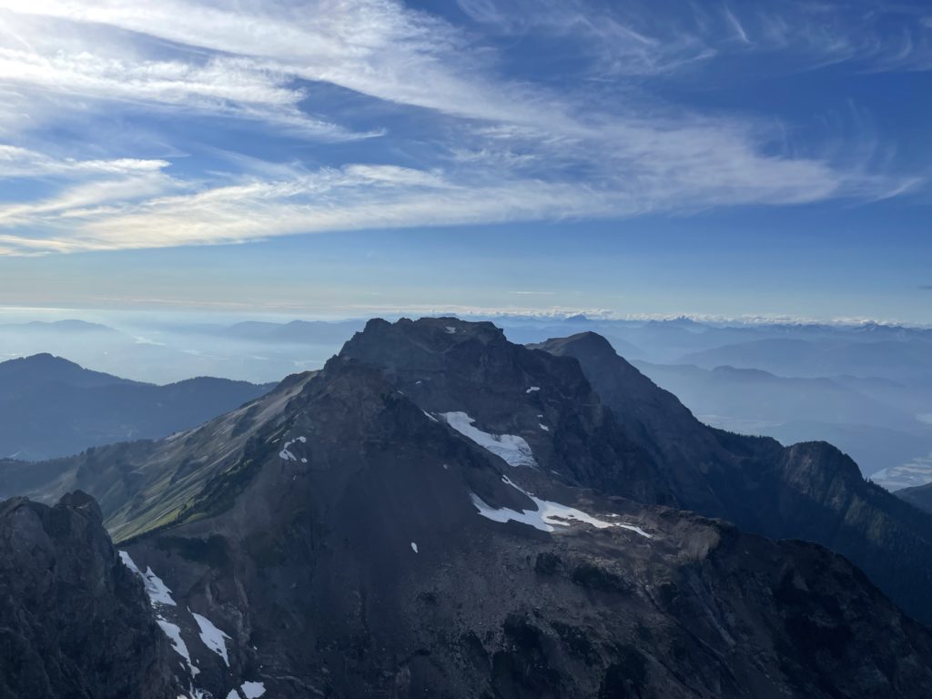
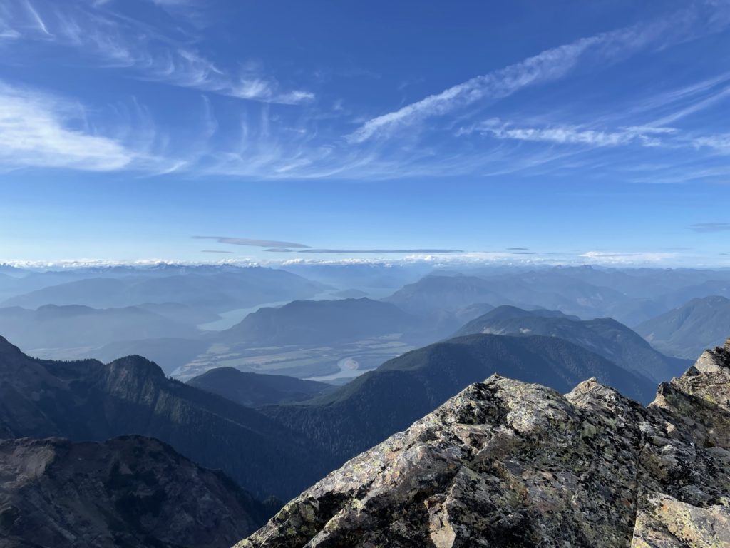
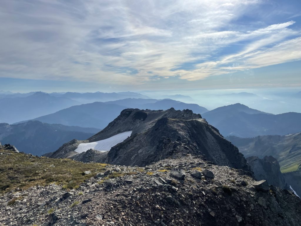
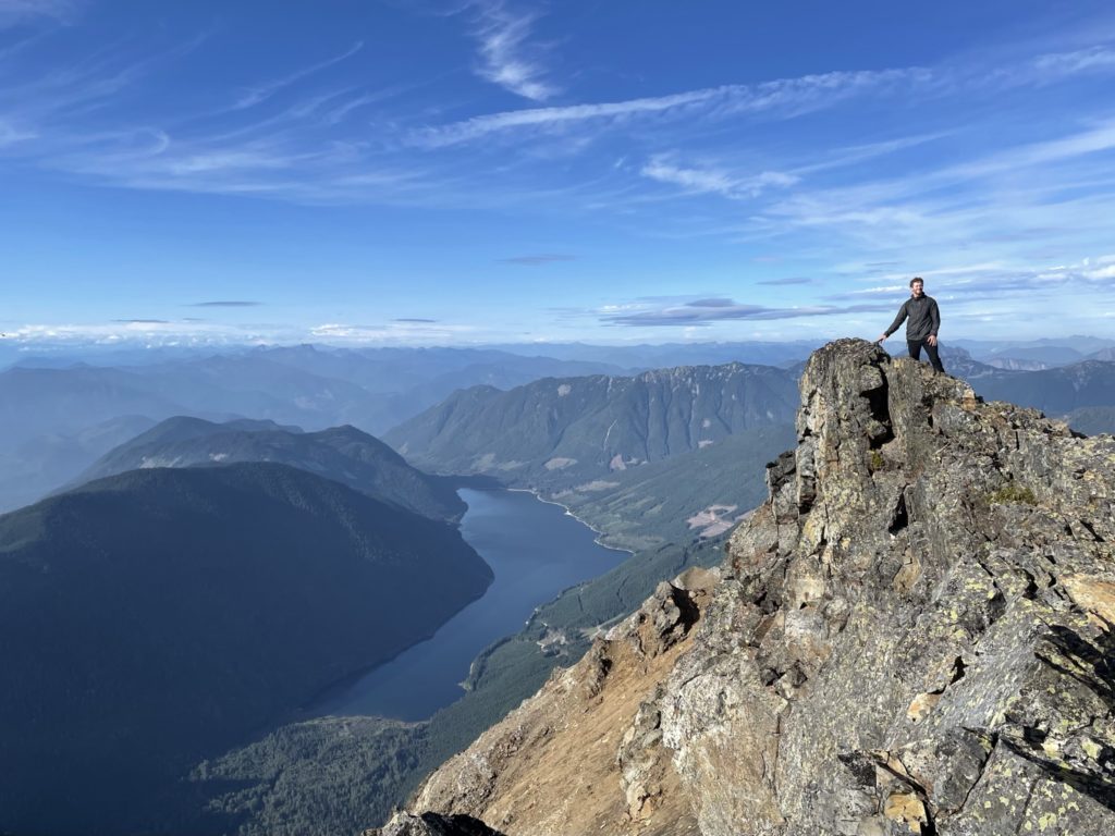
At the summit we finished off the last of our food and chilled out for a bit. The sun was reaching the “golden hour” and the views did not warrant a short stay. It was only when a cold wind started kicking in that we finally got moving. We had about 2.5 hours back to the trail head and about 1.5 hours until sunset so we had to get a move on.
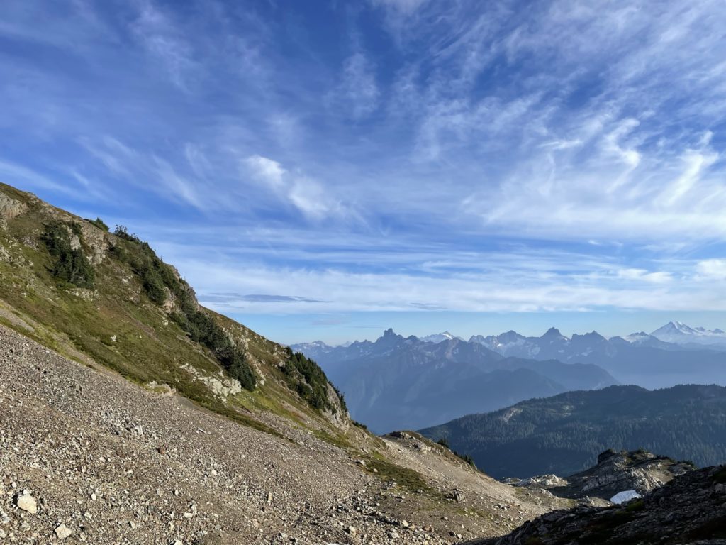
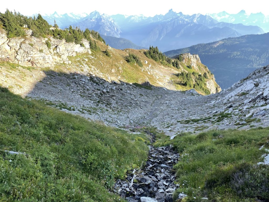
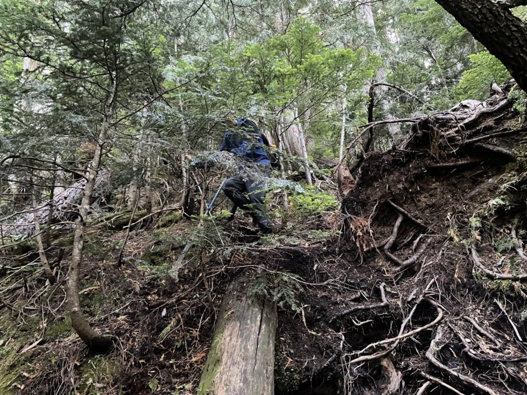
Descending was straightforward and we just took our ascent line down. From there we headed south through the basin west of Baby Munday, in order to avoid unnecessary elevation gain or the gullies around Baby Munday’s western flank. We had to be mindful not to dip down too low into one of the many valleys on the western side. Fortunately, with minimal course correction required, we made it to the Baby Munday-Stewart trail junction. There were a few spills on the way down the grassy slopes above the junction, but no other major issues. We continued on past the alpine and plunged our way into the now darkening forest. Unlike my previous trips, the trail remained very slick still and we fell numerous times placing too much trust on the steep trail. This section dragged on for awhile as picking up the pace would result in yet another fall.
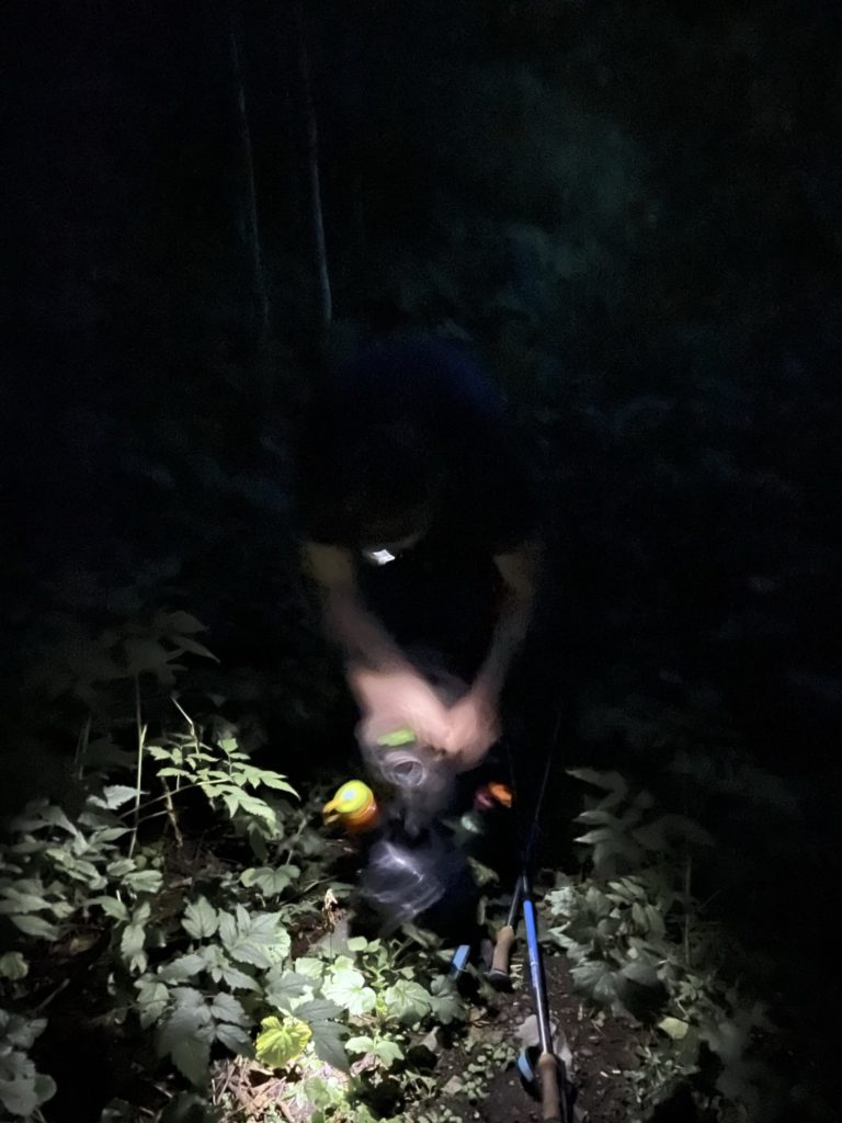
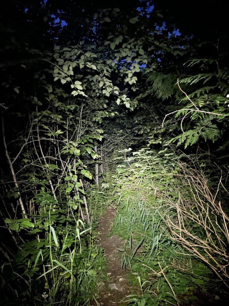
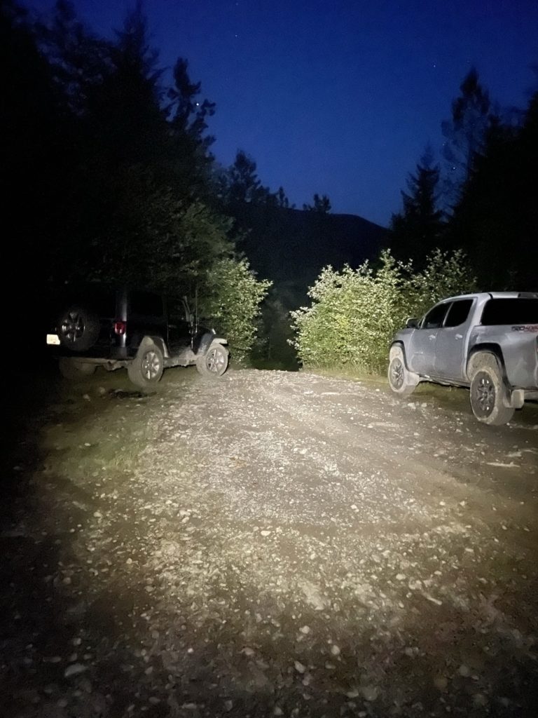
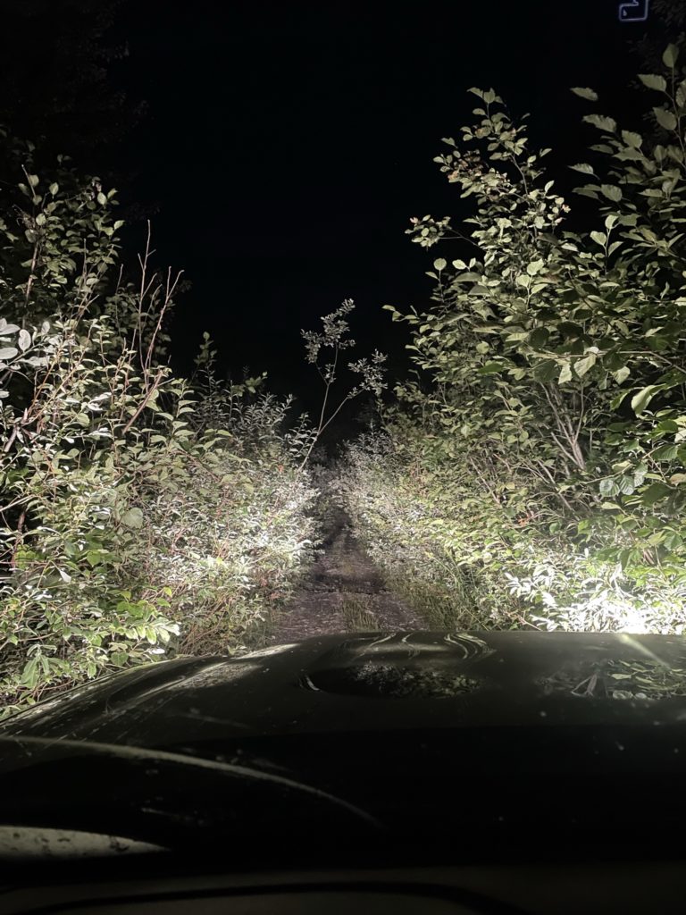
Eventually, we made it past the steep section and onto Airplane Creek. There were two campers set up at the creek and a third person happening to make their way up. We exchanged some greetings and then continued up through the woods to the deactivated portion of Airplane Creek FSR. It was now getting quite dark out and we lost the trail in the woods, but a short bushwhack in the general direction of the FSR netted us back on the trail again. Then it’s a dark trek back to the truck. About half way back we donned our headlamps, took a few more falls and cursed out before finally making it to the trail head. It was now just past 9pm and we were happy to be back. I started up the truck and began the now familiar drive down Airplane Creek FSR.
Kyle was an excellent partner on this trip and The Still, surprisingly, ended up being the highlight, while Stewart Peak underwhelmed. I was super pleased to be able to grab all three peaks in one shot and I think this traverse goes quite well, starting from hardest peak (The Still) and finishing at the easiest (Knight Peak). There were two groups of campers up there as well and seems to be a popular area for bagging multiple peaks across a night or two. I’d suggest getting out there sooner rather than later as the Airplane Creek FSR will continue to deteriorate over time.