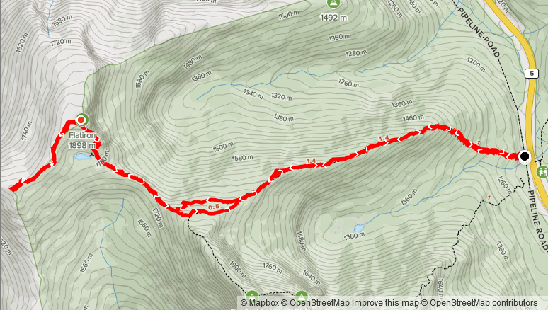
Elevation Gain: 915m
Distance: 13km
Total Time: 3 hours 58 minutes
Date: June 12th, 2021
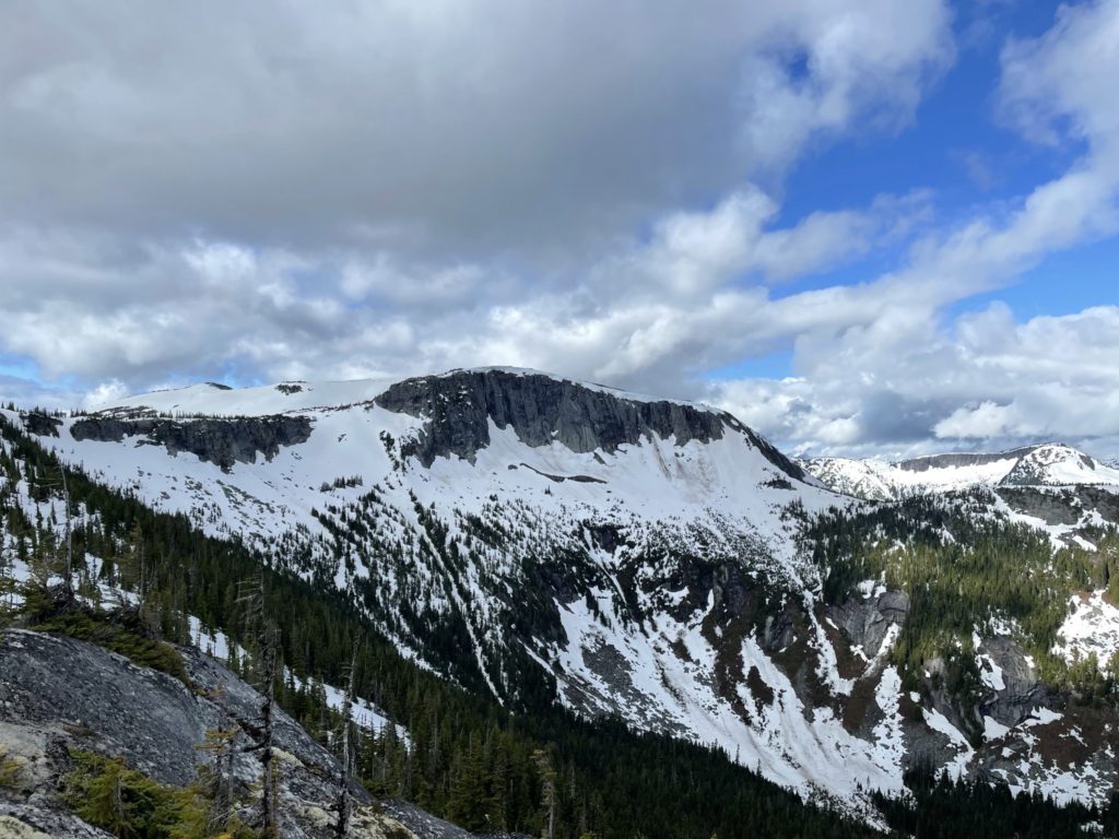
Located in the busy Coquihalla Summit Recreation area, Flatiron is an 1898m peak that sits adjacent to the very popular scramble route on Needle Peak. It has a unique “half-pipe” shape owing to ancient glacial activity that many of the mountains in this area have been influenced by. I saw Flatiron for the first time when doing Needle Peak back in 2018 and added it to the list. I figured I would grab it the next time someone wanted to try Needle Peak for the first time, but the opportunity never came. Thankfully, my hand was forced when most of the Fraser Valley was calling for rain on the weekend, but the Coquihalla was forecast to be clear. I didn’t have anyone lined up to do a trip, so I figured I’d finally grab Flatiron. From what I read it’s an easy route and I could bring my dog Winston up to get him used to the terrain.
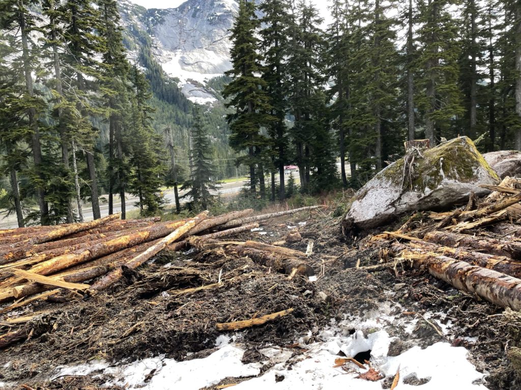
I had plans to climb on the Saturday afternoon, so I opted to leave Vancouver before 6am so that I could be home by 3pm or so. After a couple of snooze buttons starting at 5am, I was finally out of bed and on the road. About 2.5 hours later and I pulled in to the parking area for the trail head. This area had changed quite a bit since I last visited, owing to the recent trans mountain pipeline construction. Thankfully, there was still ample parking on the side of the service road and I was able to boot up and start walking by ~8:30am. The first 30m of the trail had been cut off by the construction, but a quick detour through some wood access mats and I regained the proper trail.
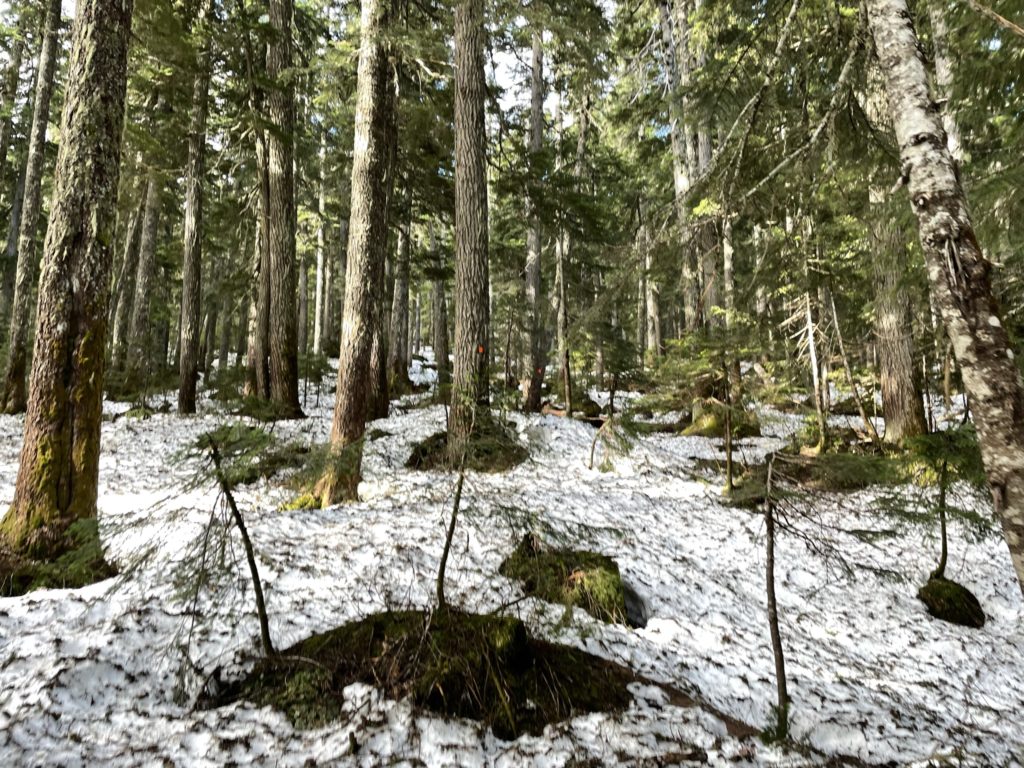
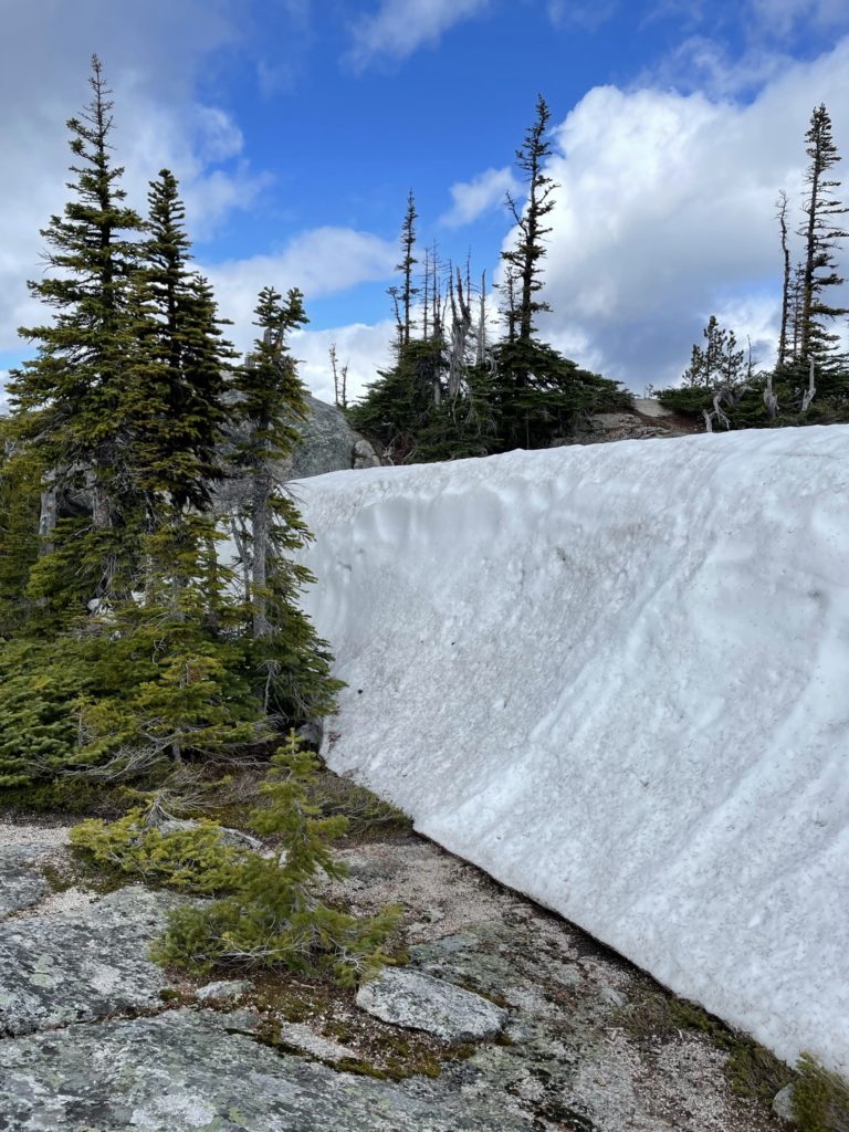
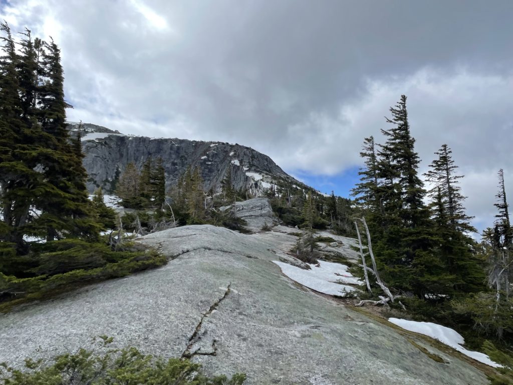
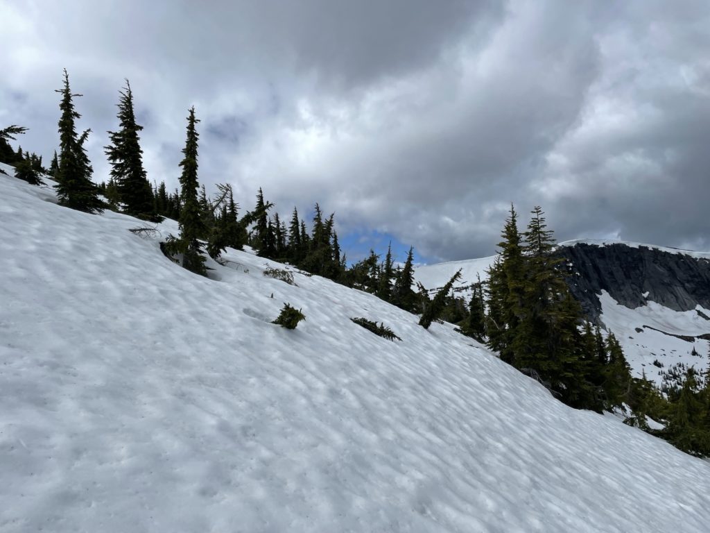
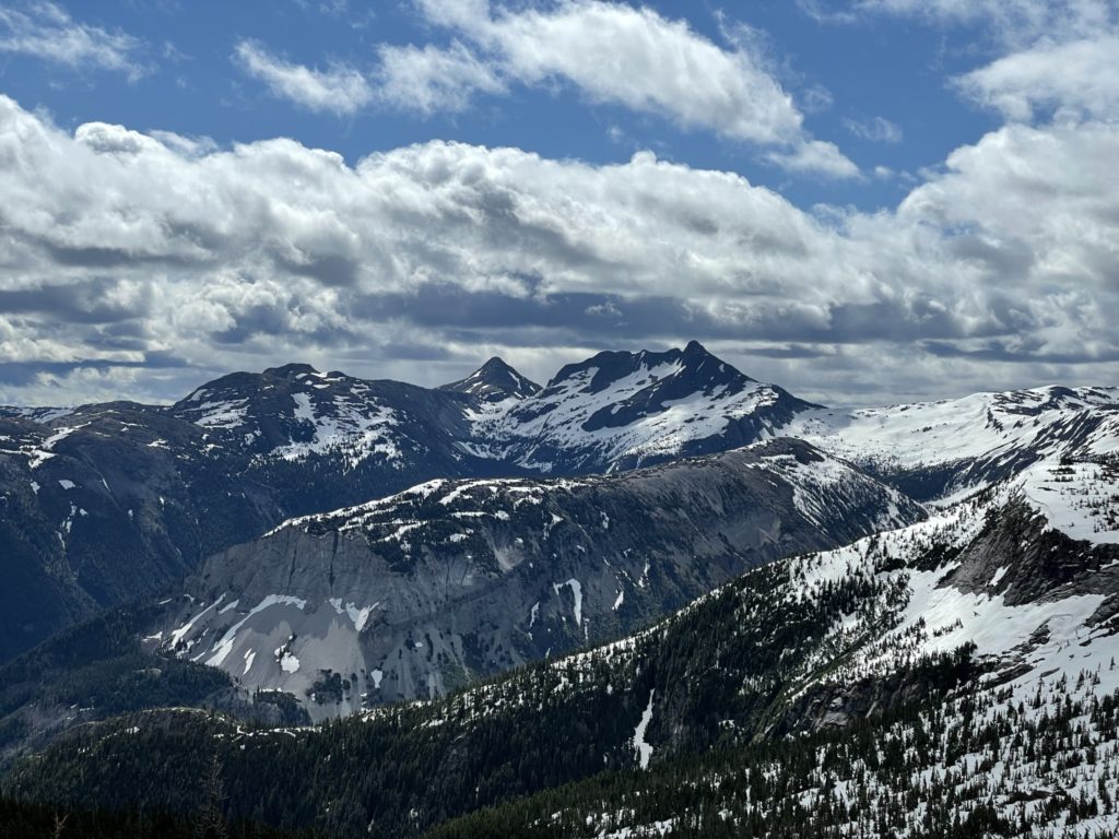
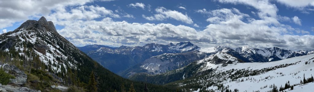
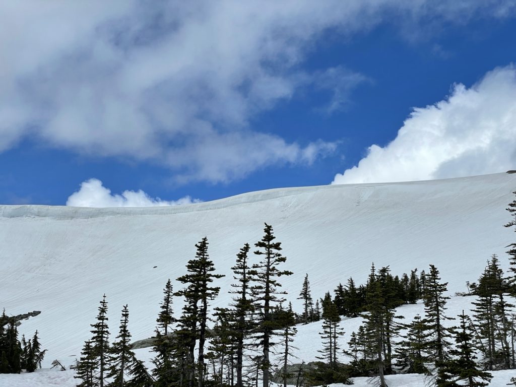
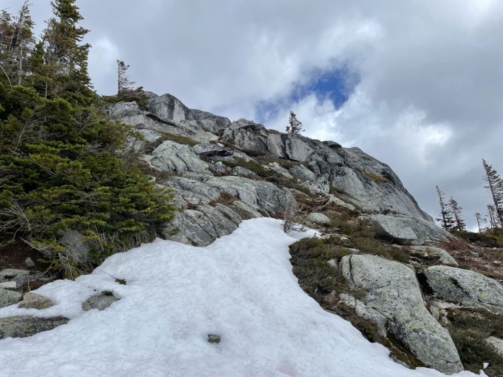
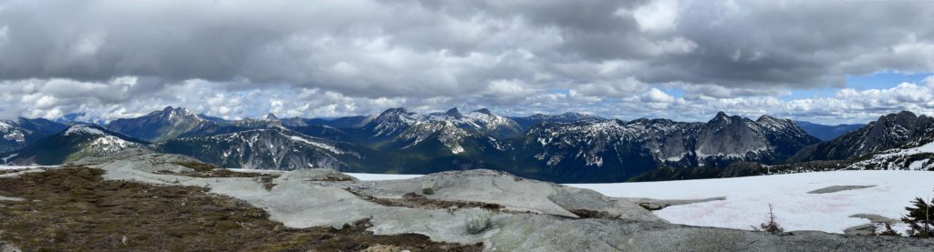
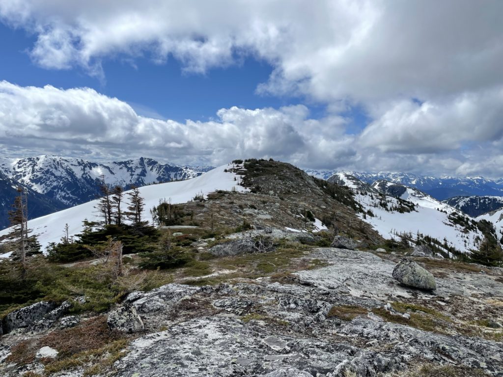
To my surprise the lower forest section was still entirely covered in snow. I didn’t have too much issue however, as it was firm and no post-holing involved. After about 10 minutes through the flat lower section, the trail steepened quite a bit and the hard work began. There were several dry patches on the steeper part of the trail so it was a bit of a mix going back and forth through snow and land, but otherwise uneventful. After about 200m+ of elevation gain, the terrain eased off and the trees gave way to an open rocky ridge line. Directly ahead on the left was Needle Peak and to the right I could start to see Flatiron.
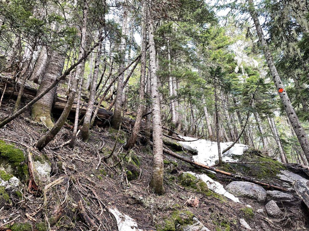
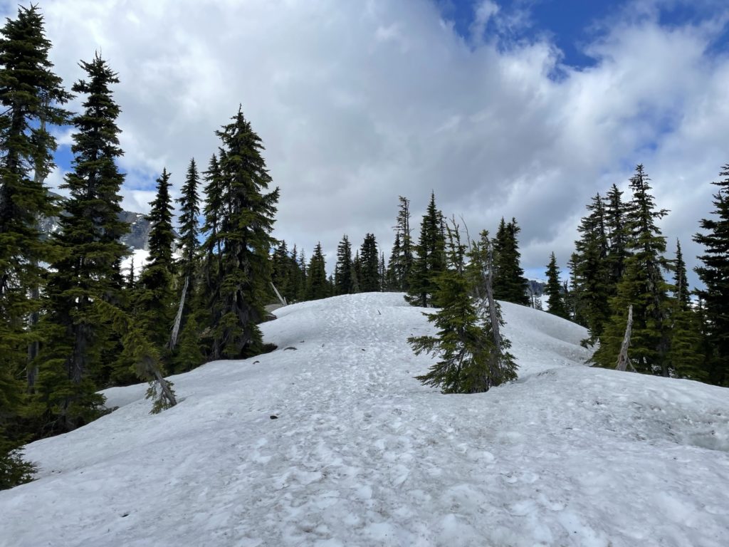
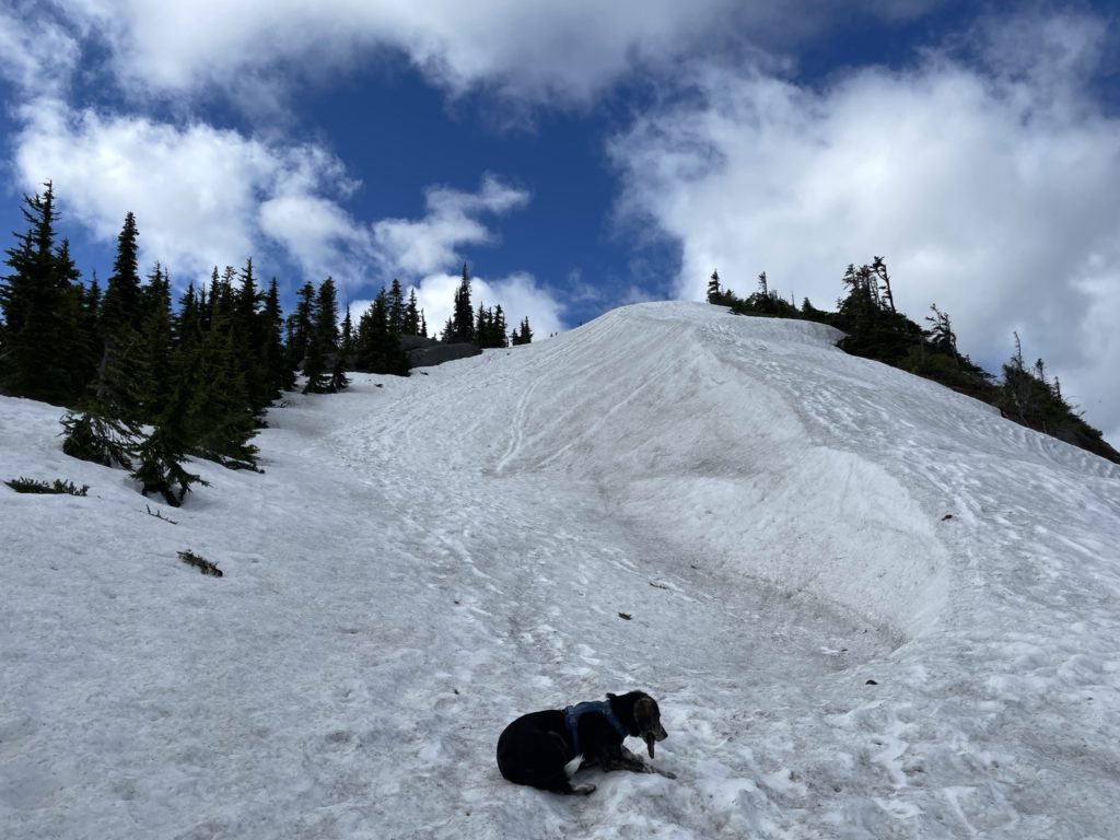
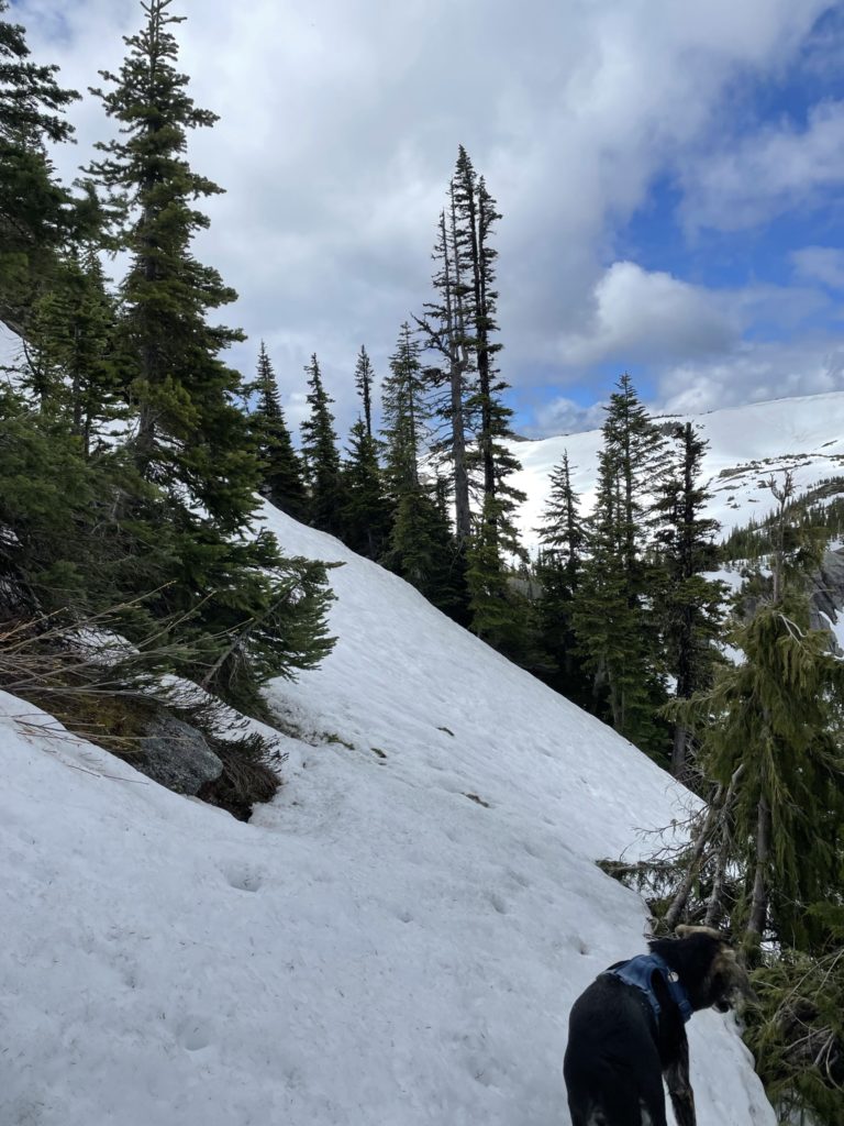
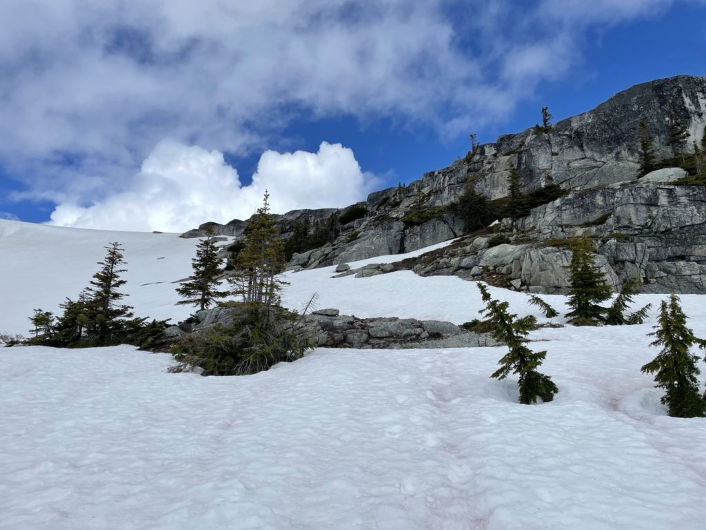
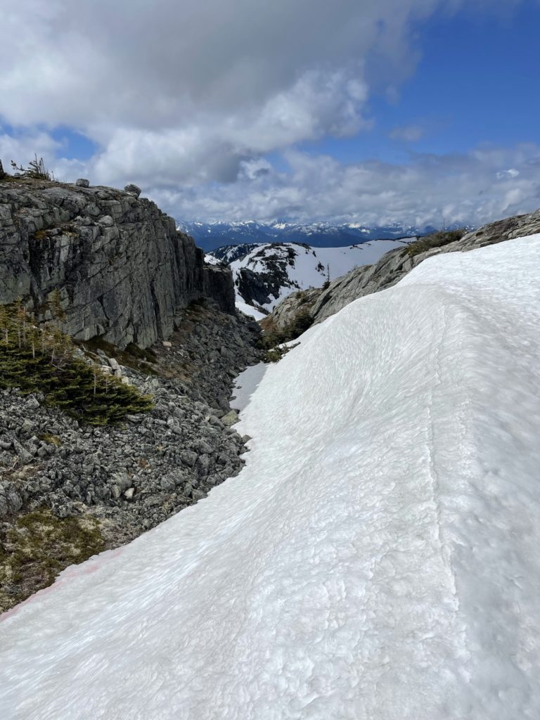
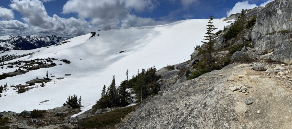
I followed along the ridge line until the 1750m mark where I decided to cut directly across the snowy slope to avoid unnecessary elevation gain. This was easy going for the most part with the snow in good condition and the slope angle being moderate. About 75m from rejoining with the trail head, I realized why the proper trail called for the higher elevation gain. Directly ahead of me I was cliffed out and there was no good way to regain the trail without down climbing a steep gully and regaining the col on the other side. Time for plan b, which was to boot pack up the steep slope above me to join up with the trail and then follow around the cliffs as normal. Winston had a bit of difficulty in this section as there’s some snow to mossy rock transitions that made things slippery. With a bit of trial and error we finally regained the trail and then started around the cliffs to the Needle Peak-Flatiron col.
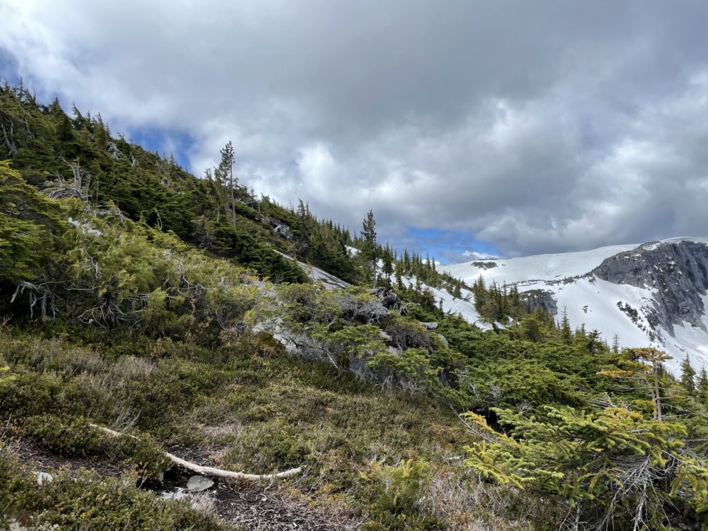
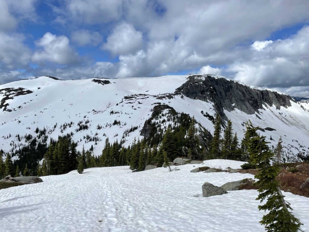
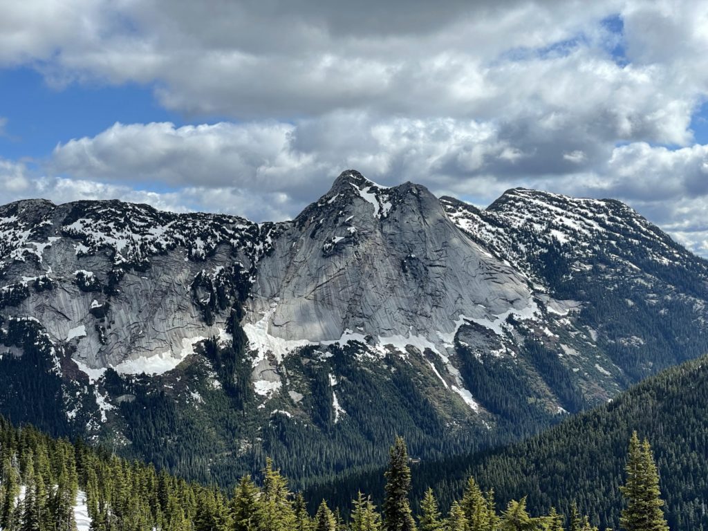
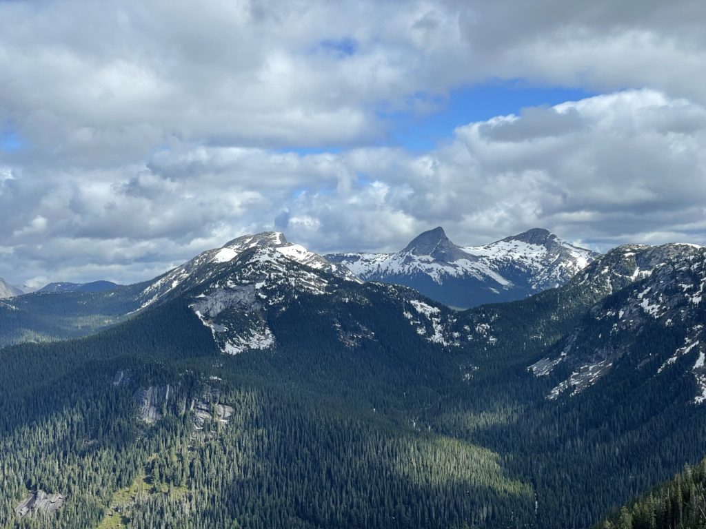
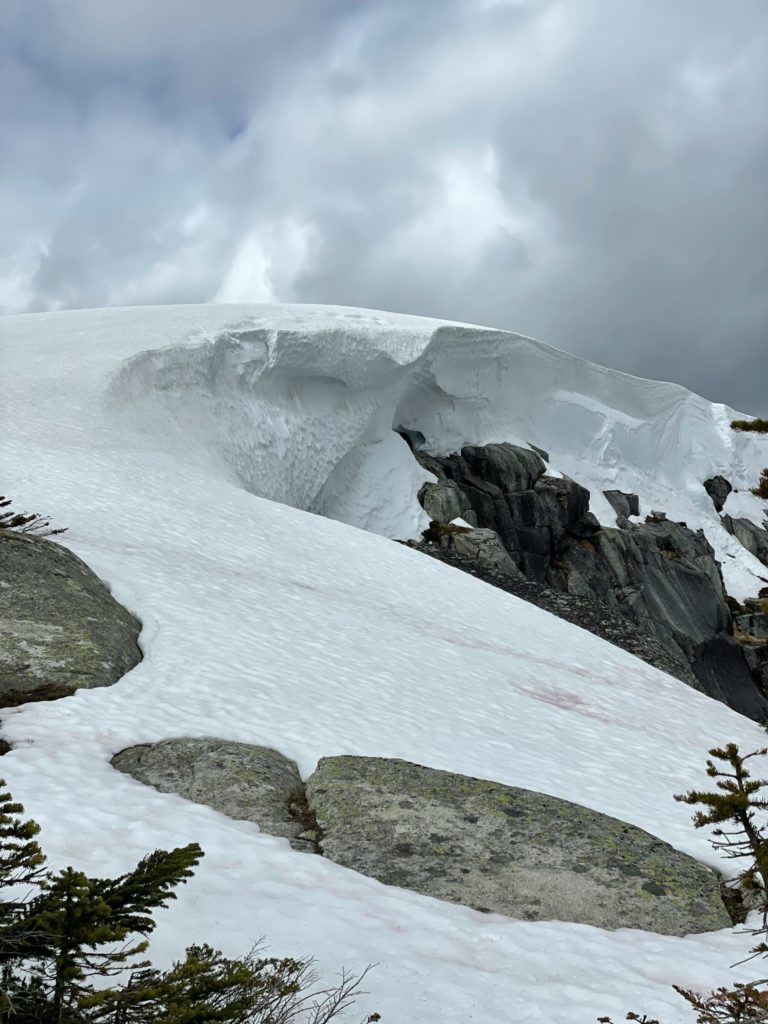
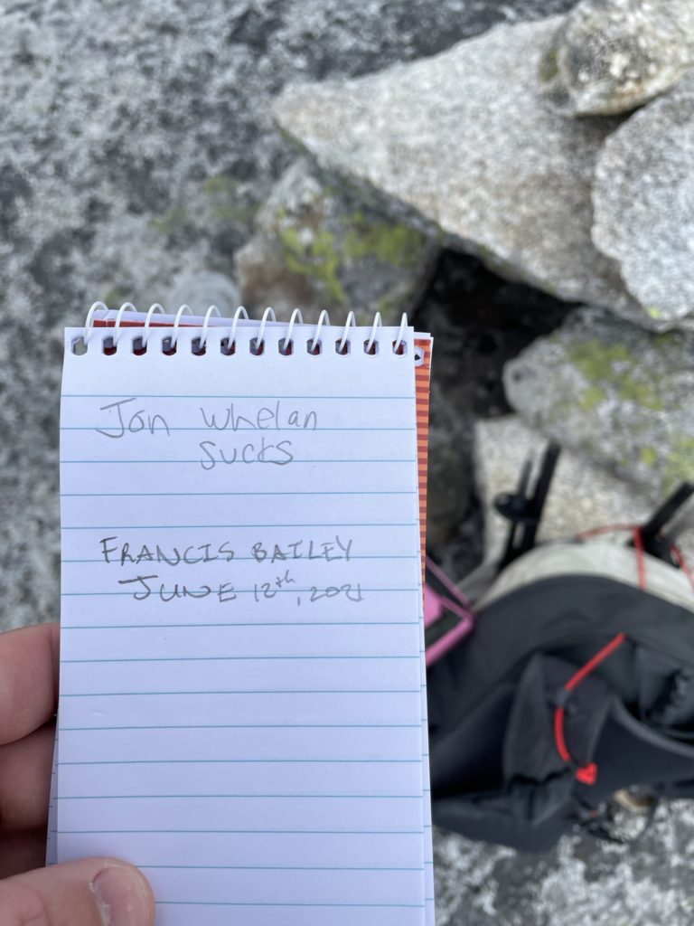
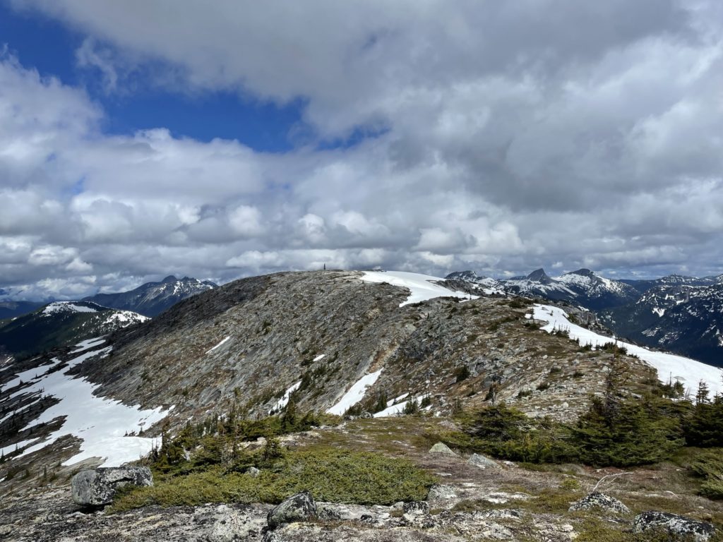
Back on track, there was short descent down to the col and then we arrived in a neat snow bowl below the summit. Most of the slopes were still snow covered, but the route to the top was completely dry and only involved some minor scrambling and route finding. The summit itself was a broad rocky plateau with the high point marked by a cairn and summit register. Further South lied another high point that, visually, looked very close in elevation. After signing the register, curiosity got the best of me and I decided to head for the second high point to see if it was higher. I hadn’t read any previous trip reports on this peak, so I figured it didn’t hurt to check it out and also get some different views.
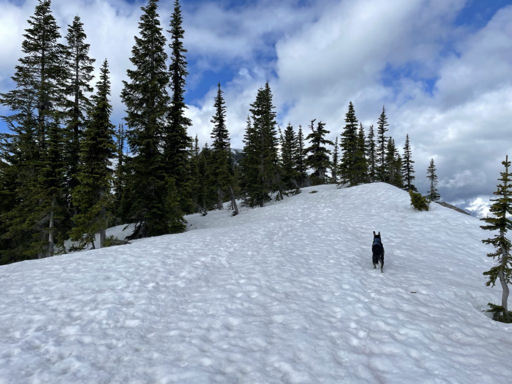
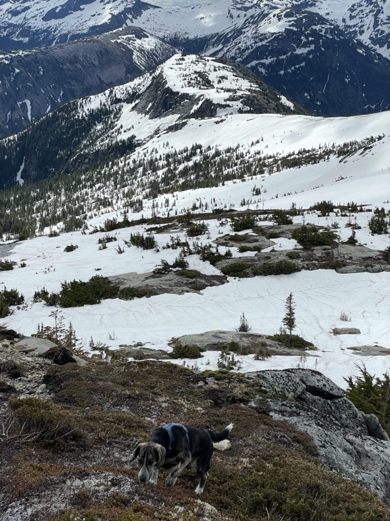
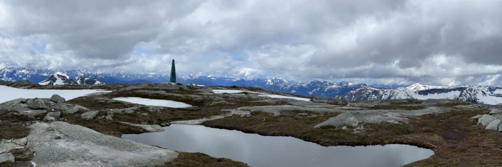
It was only an additional km to the high point over flat dry terrain, so Winston and I made it there in short order. Sure enough, the true summit was the one indicated on the maps, but it was still cool to see different views nonetheless. Now I was running a bit behind to make it home for 3pm, so Winston and I half ran back to the true summit and started our descent back to the truck. We simply back-tracked over our original steps, except to avoid the same lousy short cut I attempted earlier and we soon had the ridge line behind us. From there it was a bit of slippery descent in the steep forested section and then we were back at the trail head.
On a nice day, I think Needle Peak and Flatiron could easily be combined and make for a perfect trip. For those that find Needle Peak above their comfort level, Flatiron offers easy terrain with excellent views. If you haven’t been out this way yet, I definitely recommend to do so.