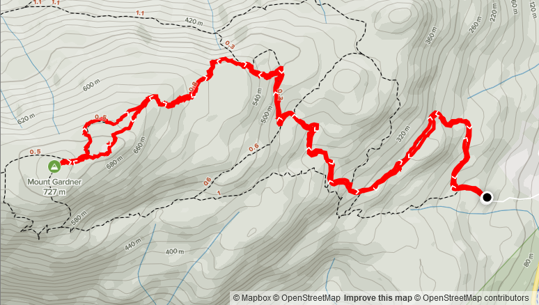
Elevation: 677m
Distance: 9.25km
Total Time: 3 hours 10 minutes
Date: April 2nd, 2021
Mount Gardner is the tallest mountain on Bowen Island at 727m. It’s a popular day trip destination in the warmer seasons and while the true summit is covered in forest there are some man-made viewpoints that offer fantastic views of Howe Sound, the North Shore and Sunshine Coast. For that reason and the bad weather elsewhere, Sara and I decided to make a day trip out the island and make for the top.
On the Friday, we took the 11:25am ferry over and picked up some snacks before heading out to the trail. We drove up to the parking lot for around 12:15pm and found the last open spot. (Note there appears to be around 8 or so parking spots at the trail head). After getting our boots on, we were off at 12:26pm with a light drizzle coming down.
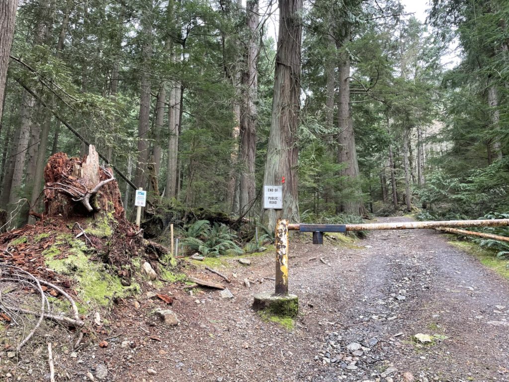
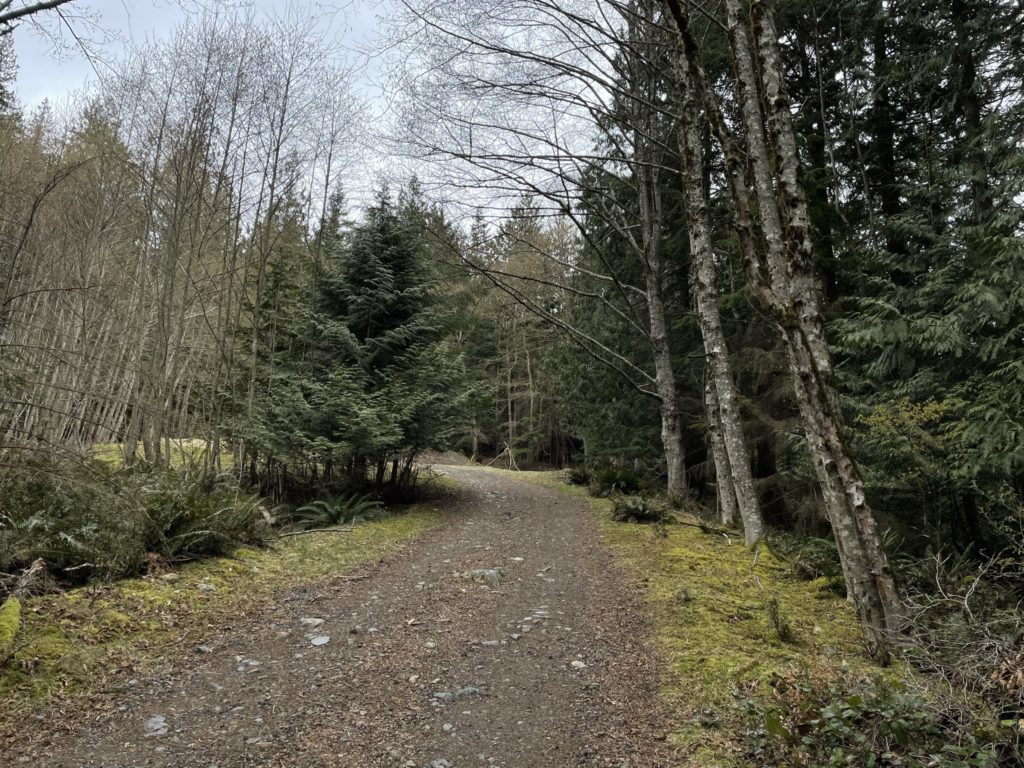
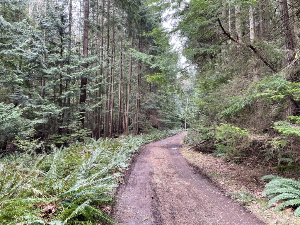
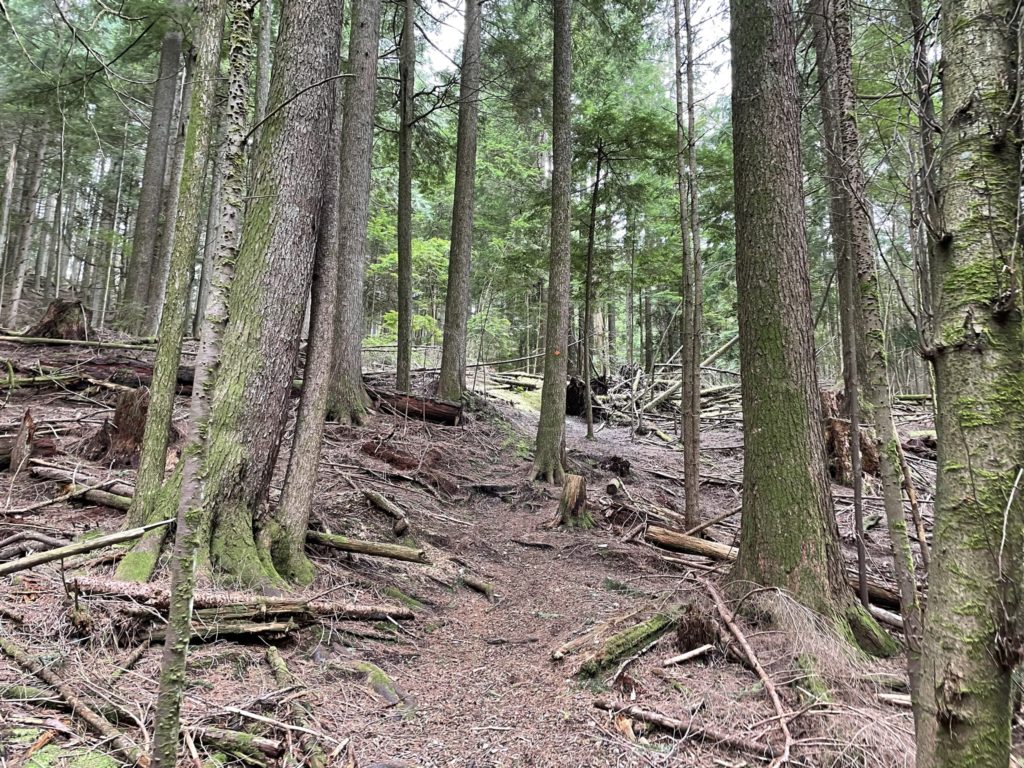
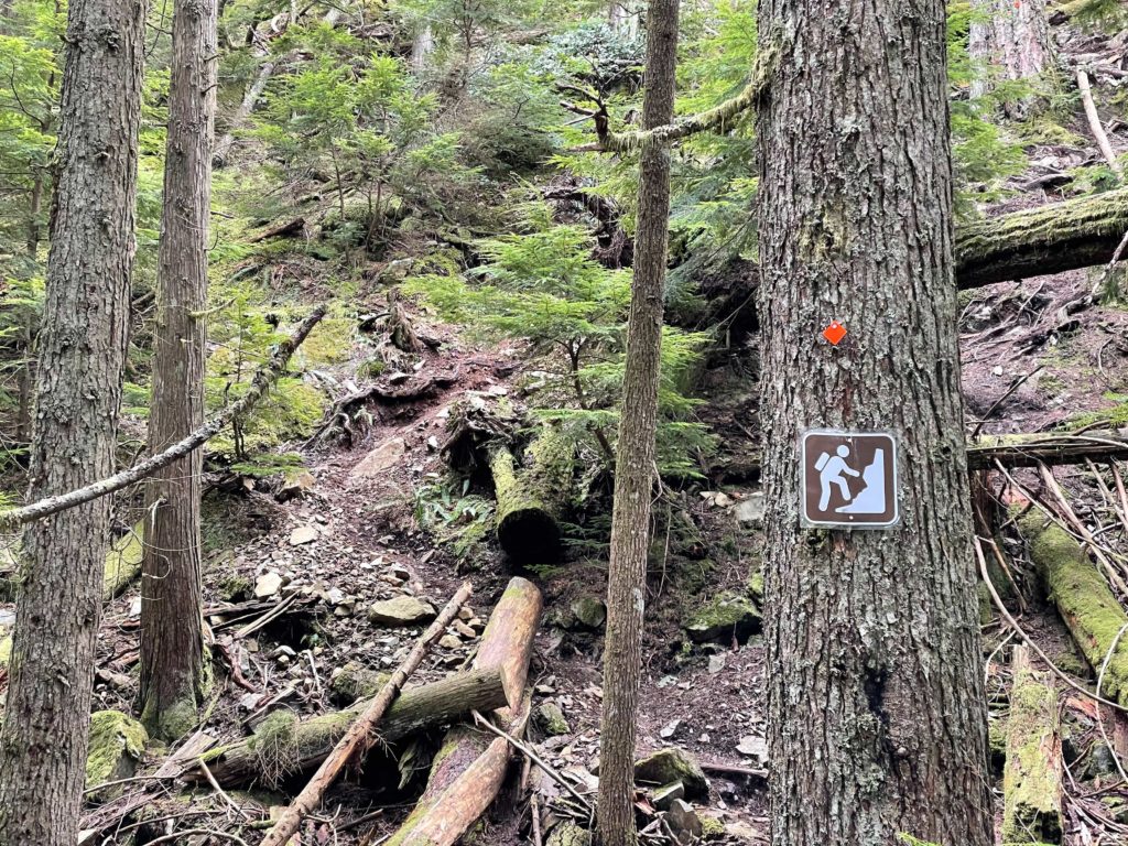
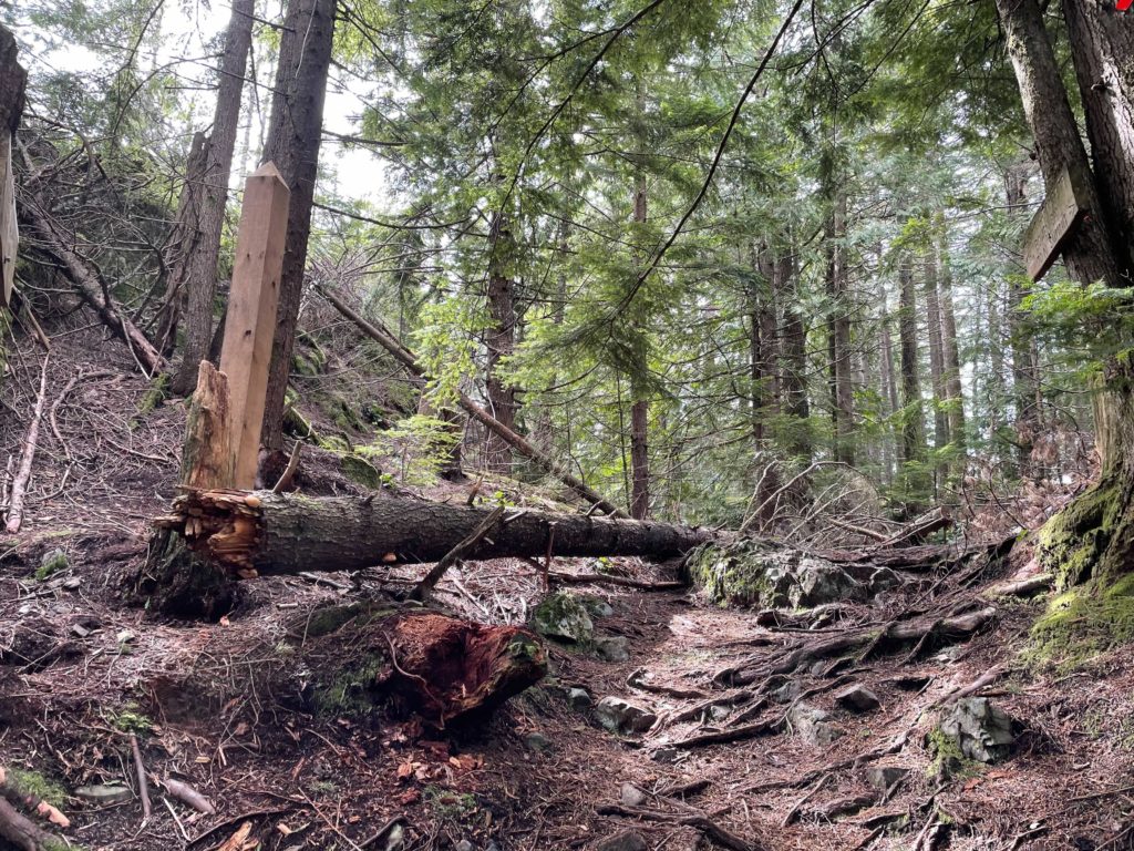
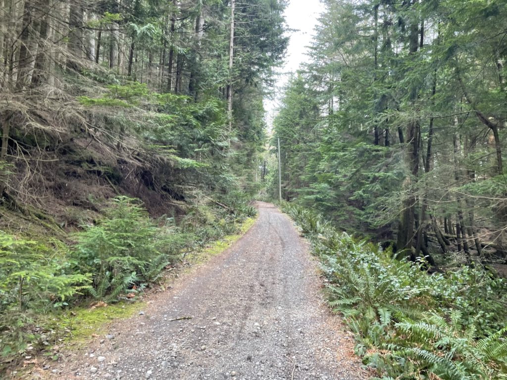
The trail starts on a maintained FSR and takes a mellow incline up the mountain and is a fairly boring section of the route. We found multiple junctions and trails that branch off of the FSR and actually without the GPS/map it would have been a bit confusing about where to go. There are a few signs here and there but it’s not super well marked. As long as you stick to the main FSR until it ends, you are unlikely to run into any issues.
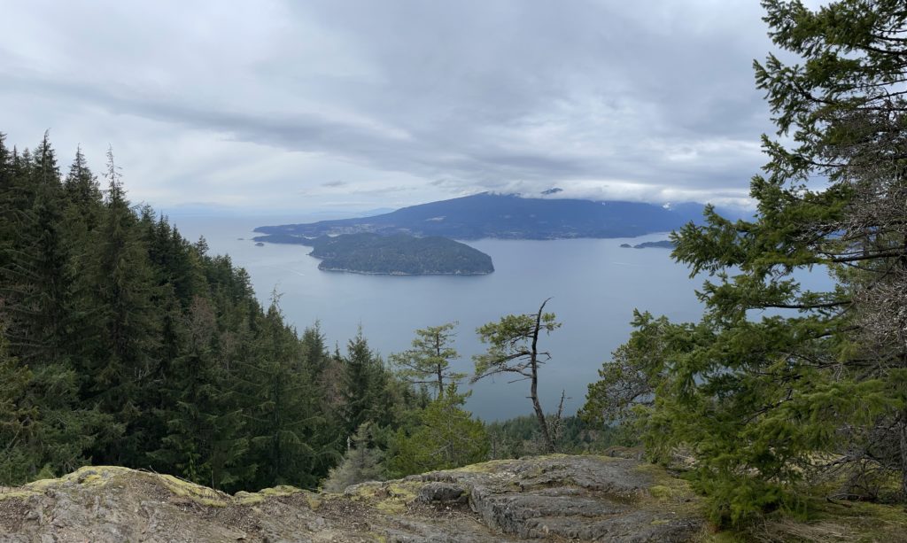
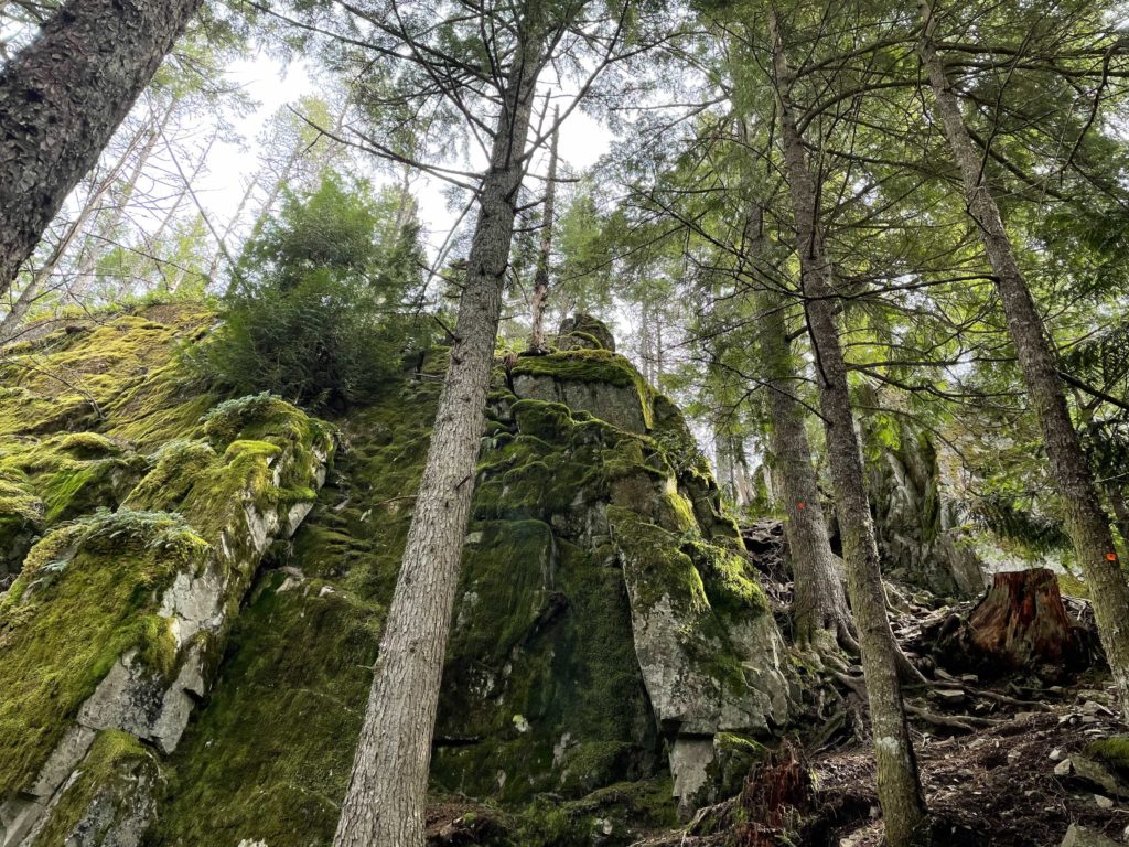
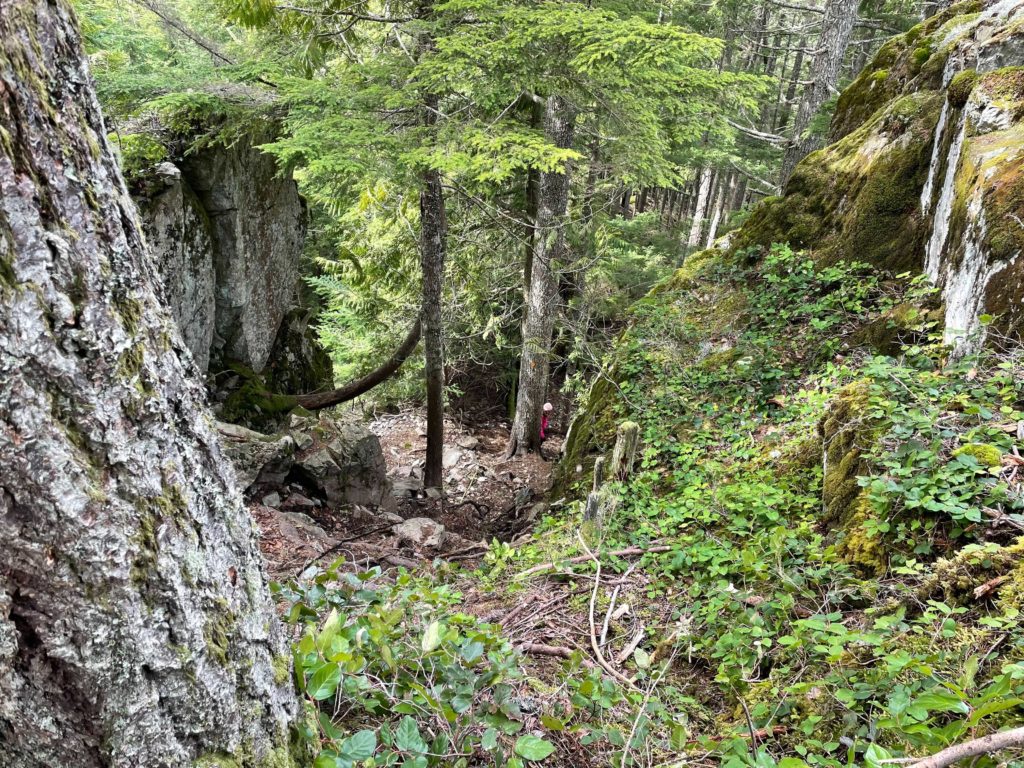
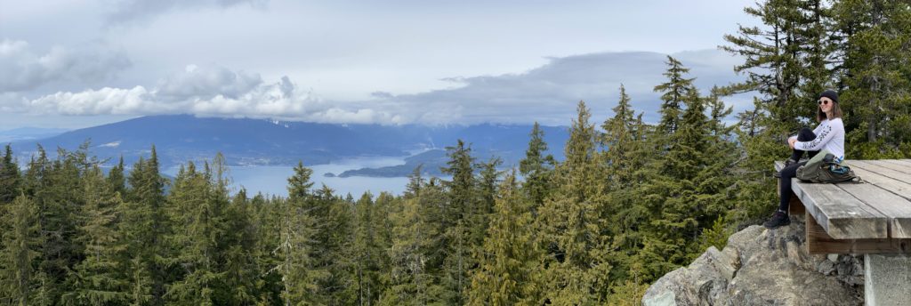
At about 510m in elevation, the trail veers off of the FSR and up into the woods. Here things get more interesting as the trail meanders through a nice section of forest and eventually opens out to a ridge line at about 550m. There’s a nice set of rocky outcroppings you can rest for food or just take in the view of Gibsons and the area. We grabbed a bit of water here and then carried on towards the summit.
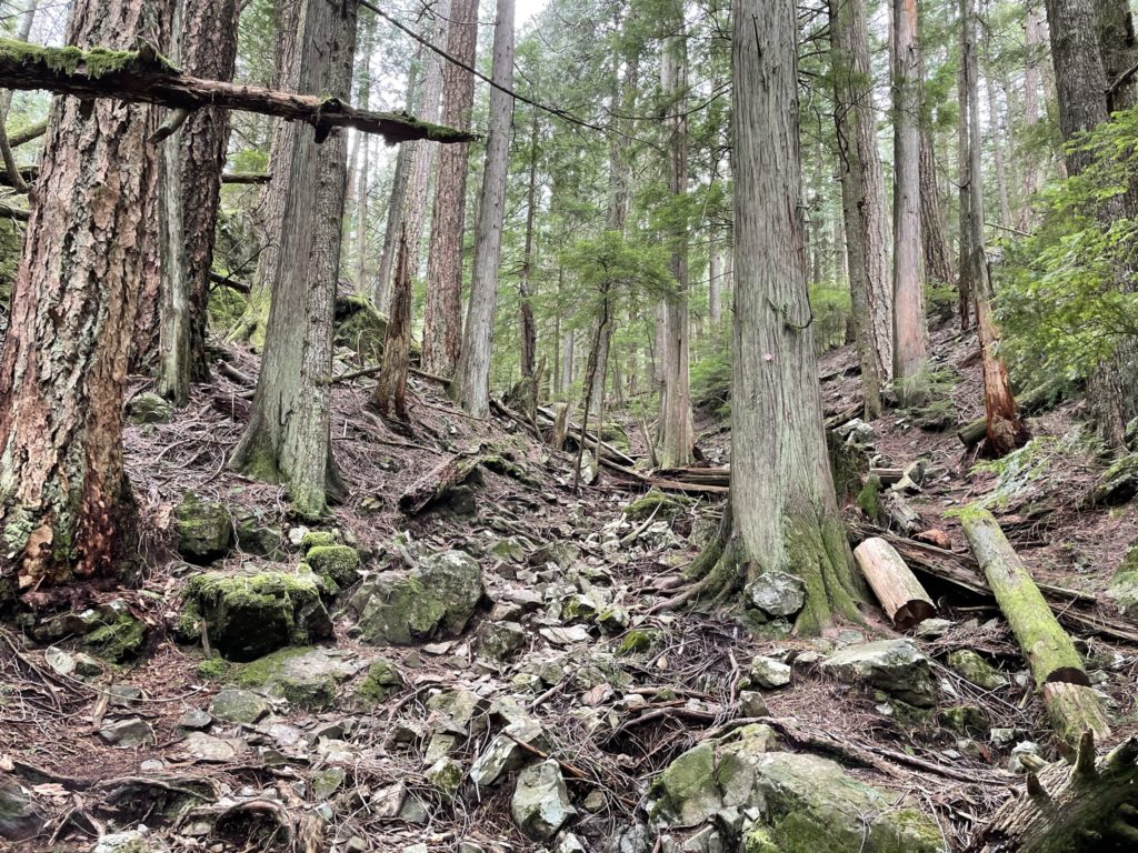
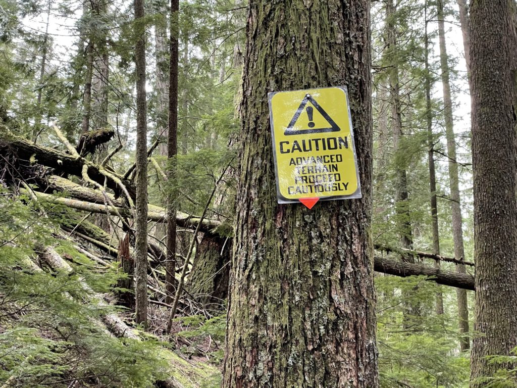
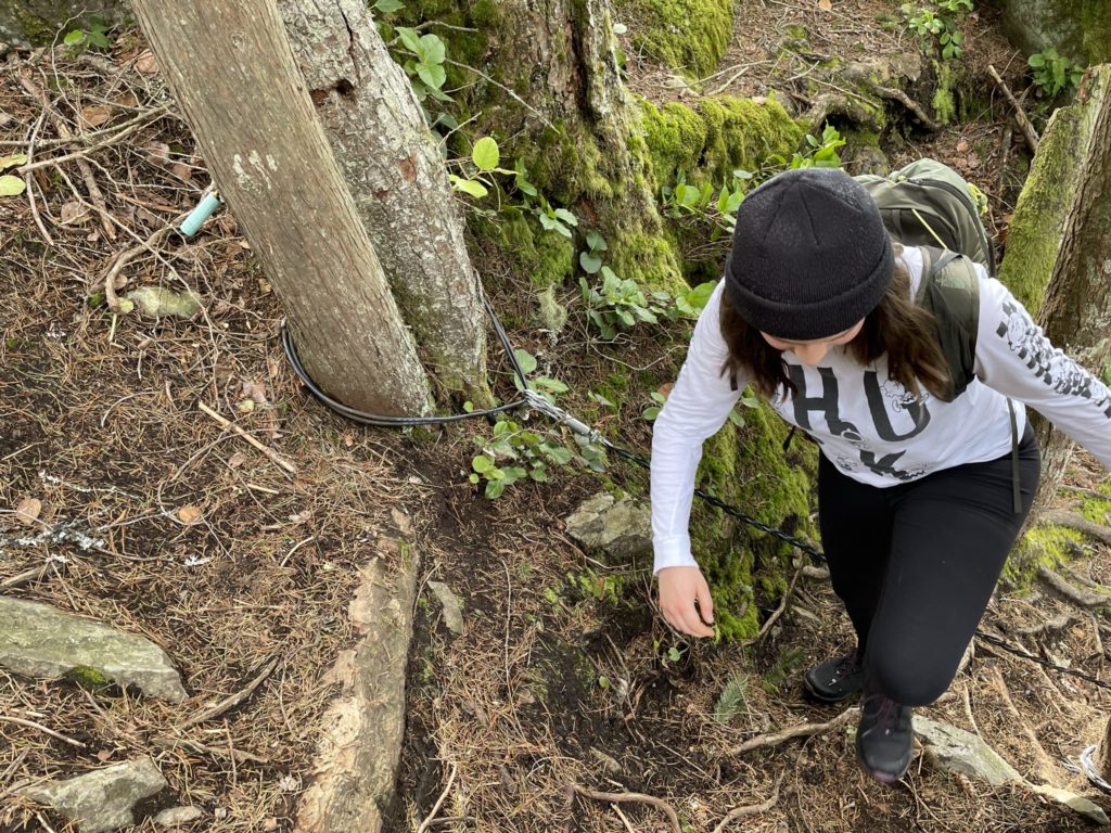
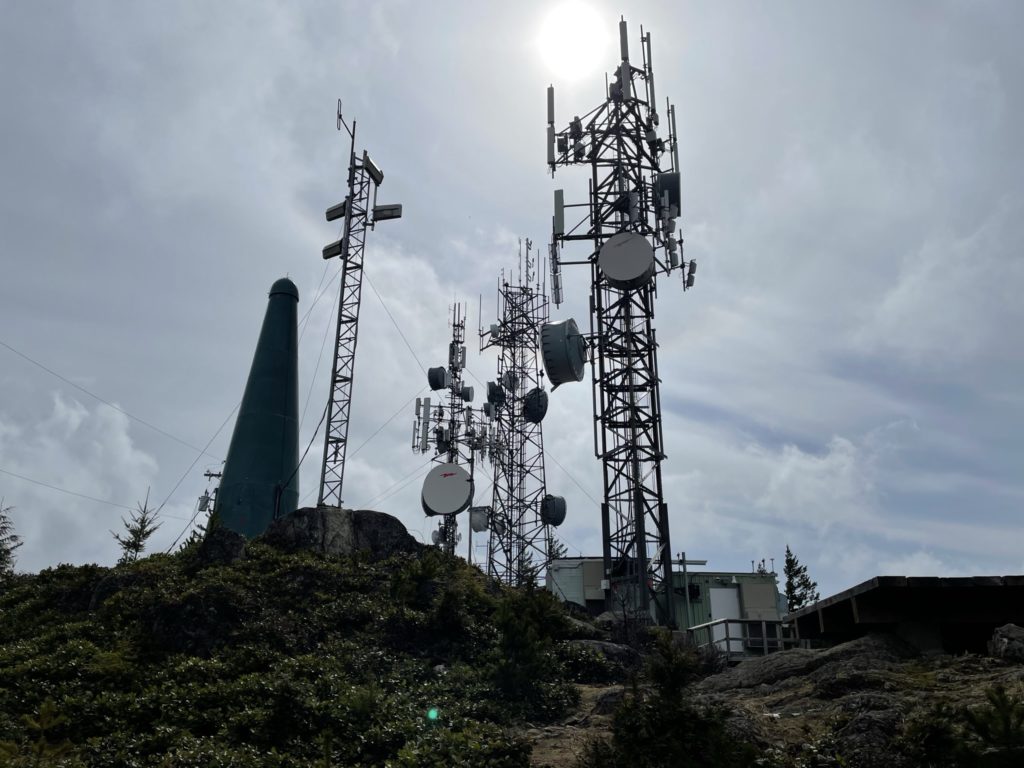
There’s more meandering through the woods until 700m or so where Mount Gardner produces one semi-steep section to climb up. From a scrambling standpoint, it’s not interesting at all, but at least it was a step up from the usual forest trail. A rope is provided for those that need it and I did encounter a few people leveraging it to come down. Sara and I walked up it without issue and topped out at the man-made view point. I say man-made because the forest has been cut down here and replaced with a large microwave/radio tower facility and helicopter pads. The facility had a noisy generator running as well, but to be honest it didn’t detract from the view at all.
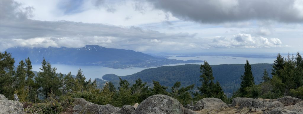
We were fortunate by this point that the weather had eased off a bit and we were afforded views of Vancouver to the South and Gibsons to the North. Sadly, most of the North Shore peaks were still in the clouds, but a worthwhile view nonetheless. We hung out there for awhile enjoying the sights and then decided to continue on for the real summit.
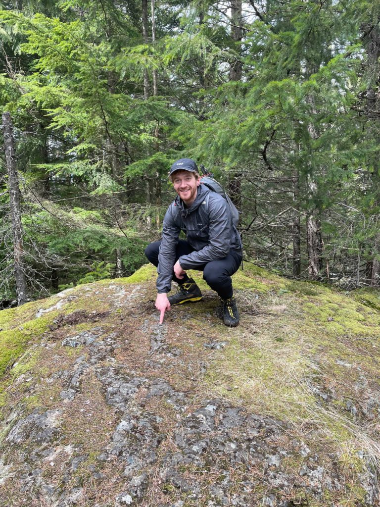
To reach the true summit, involves another short forest walk over mellow terrain and tops out on a small rocky outcrop in the forest. There’s a little summit marker as well for those concerned about reaching the truest top! We didn’t spend more than 3 minutes at the summit and then headed back down. Instead of going back the way we came we took an alternate route that rejoins the original trail just before the semi-steep section. Once we linked up with the original trail again it was a fast walk back to the car and onwards to explore other parts of Bowen Island.
For those looking for a moderate hike with great views and easy access, I highly recommend this trail. It’s a great introduction for those looking to get into hiking as well. Despite the lack of fun features, I still thoroughly enjoyed the hike thanks to the nice views and friendly people.