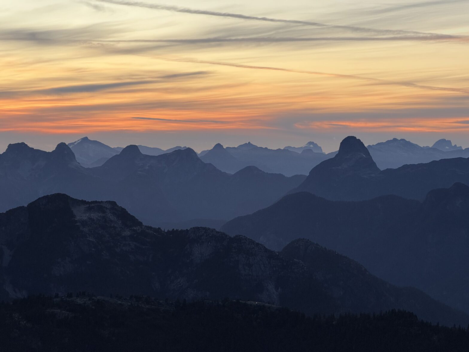
Located in between Ashlu Creek and Jervis Inlet lie several interesting and hard to reach groups of summits. There’s the Tzoonie Massif which sees visitors at least every few years and then you have Chimai and Crerar further North and finally there’s the Earle Range. Within the Earle Range are several prominent summits, but the one I was principally interested in was Yuon Peak. It’s located just south of Falk Lake and I only became aware of it when Thomas Morrisey shared an inspiring multi-day traverse through the area. Along the way he climbed Chimai, Falk, Serov and Vrubel. I was considering something similar, but given my speed, I’d need at least 3 days. Adding to that, most of those summits were getting visitors every few years, while Yuon and the peaks further south were seemingly left with no recorded ascents.
I decided to try a two day trip and access the area via water taxi and then e-bike up the Vancouver River FSR. From the end of this road it looked like a reasonable bushwhack and ridge ramble eastwards to link up with Yuon. Now, Yuon itself I felt was likely to have been climbed simply because it’s the next tallest thing south of Falk Lake. However, there was another summit at the southern end of this ridge system that seemed promising as a potentially unclimbed peak.
In the 60’s Dick Chambers and Roy Mason had climbed up Vrubel Peak and accessed it via “Serov Lake”. John Clarke had ascended the bulk of the summits between Phantom Lake and Falk Lake including the smaller but officially labelled Tzoonie Mountain, Tatlow, Vrubel, Serov and Peak 6600 north of Serov. The unofficially named, but taller summit of the Tzoonie Massif was climbed by Tom Tyles and co. in the 30’s. A topographic survey crew climbed and surveyed the majority of the summits along the Earl Range starting from Mount Drew and working northwards to Chickwat Peak. A control point can be found just north of Falk Peak as well and Thomas did find a cairn up there during his ascent. However, it’s not clear who left it there. Jervis Inlet itself is rich with the history of the Sechelt First nation. They had several permanent and seasonal villages along the inlet including a primary dwelling at Deserted Bay and a seasonal one in Vancouver Bay. In the late 1800’s loggers formed a massive camp in the bay and built rail grade road all the way up Vancouver River to haul out the largest timber. Some time in the 1900’s a logger was purported to have climbed nearby Mount Churchill and the first recorded ascent noted much debris and tampering with the summit on their arrival. The many summits of Marlborough Heights were climbed by Colin Dionne sometime in the late 90’s or early 2000’s. Still Yuon Peak and the area south of it remained a bit of a mystery, even if logging roads reached within touching distance. The lack of vehicular access hopefully kept prospective hikers away.
I was keeping my eyes peeled for a two day weather window in the tail-end of September and fortuitously it would arrive without much wait. A bout of heavy rain succeeded by two days of sun would mean a sopping wet approach but enjoyable alpine conditions thereafter. I quickly reached out to a few people and Calum was the first to be onboard. After settling on the plan, I arranged for a water taxi out of Egmont and booked a ferry reservation for us.
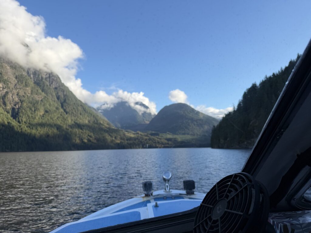
On the Friday evening we set off as the last of the rain storm tapered down in the evening. We slept somewhere down a service road outside of Sechelt and then drove the rest of the way down to Egmont. Our water taxi was already waiting for us and we belatedly boarded on and headed towards Vancouver Bay. Thirty minutes later, we were on the dock as our taxi headed off for a full day of work.
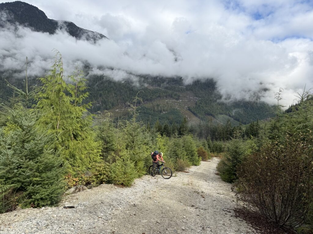
Calum and I started down the road shortly after. I had a distinct advantage of being on an e-bike so I took the heaviest of the group gear, but Calum kept a quick pace and we made great time down the road. The last stretch was the steepest and we both walked our bikes to the end of the spur. We had deposited ourselves about mid way between Chickwat Peak and Falk Peak near the outflow of an unnamed circular lake below the ridge. This looked to be the closest we could get to the ridge and now it was time to see how bad the bush was.

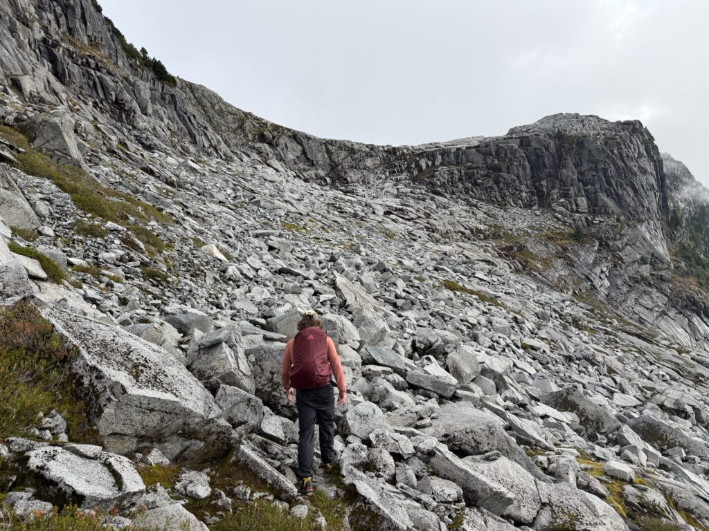
We pushed through the last of the cutblock and into the forest. The first 600m or so were through second growth forest with lots of gnarly deadfall and devil’s club and the going was a bit slow. Once we crossed the creek and reached older growth, our progress picked up a bit, but it didn’t last long. We had a steep grunt up through the forest and every leaf on every bush was teeming with water. As the saturation increased, we kept our eyes peeled for a reprieve. Finally near the top of the slope we cut north to the ridge and reached open heather and rocks.


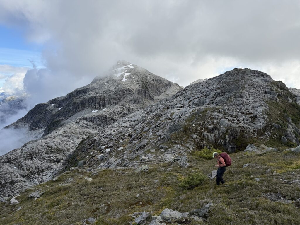
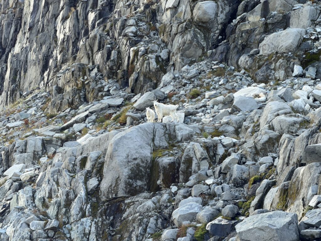
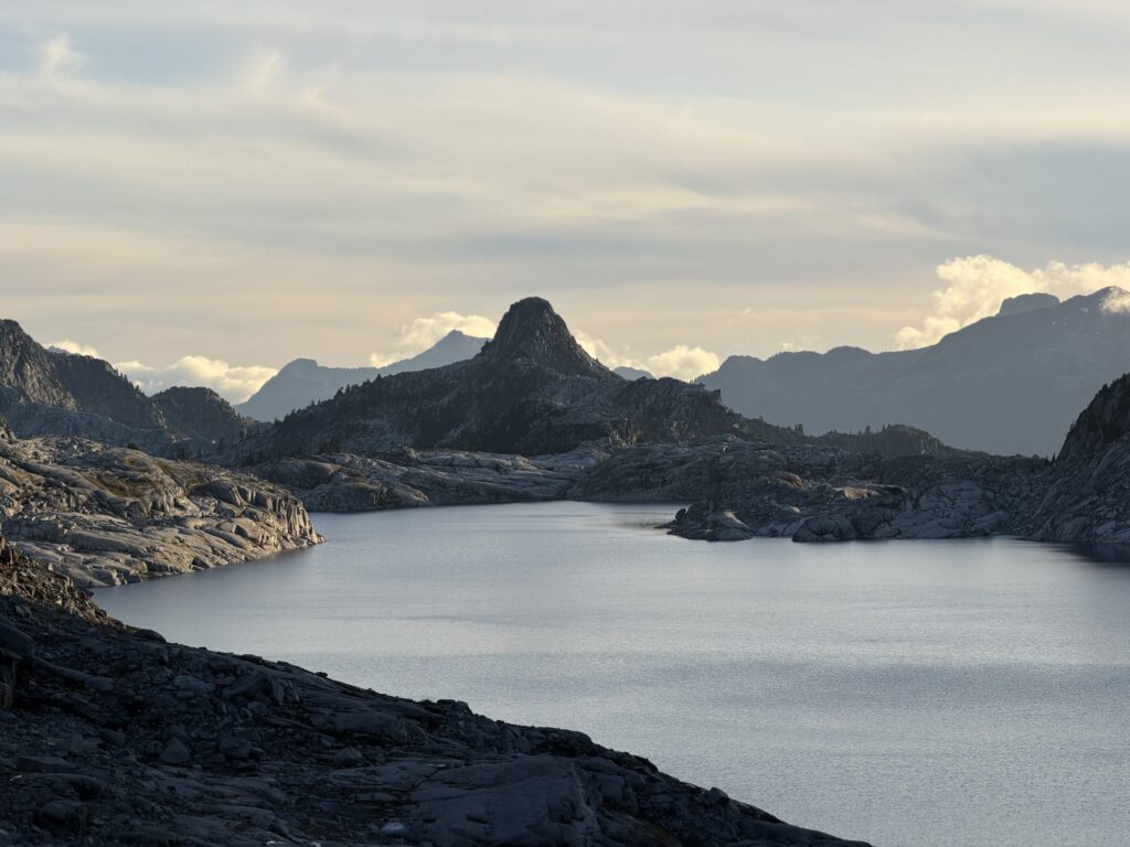
Now in open terrain we travelled for a long ways on the undulating ridge over several beautiful sections of slabs and eventually reached the Falk-Yuon col. We trended southwards towards the northern end of “Yuon Lake” and ran into a pair of goats. With time running a bit low, we had to be strategic about which summits to climb. Our water taxi was coming at 5PM the next day and we had a lot of terrain to cover to get back.
Ultimately, we decided to setup camp at the northern part of the lake, do a sunset ascent of Yuon and then make an early push in the morning to the two summits south of the lake and set a strict turnaround time.






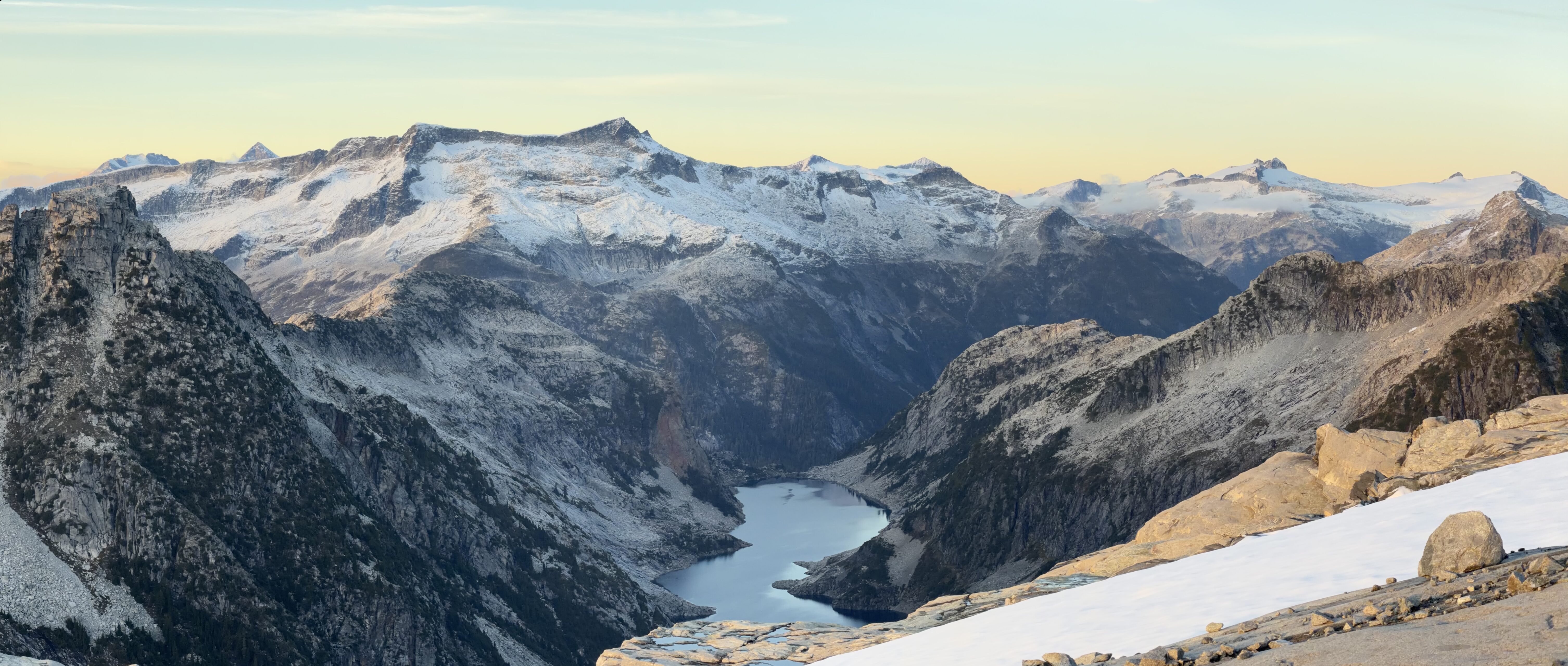
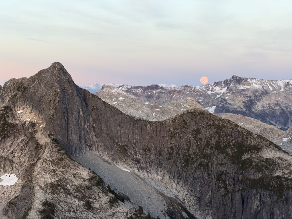
With that, we setup camp and had some dinner. As the sun was getting low in the sky, we set off for the summit of Yuon. We took several benches up to the top third of the mountain and then scrambled up a 3rd class section to gain the tame summit. At the top we found a cairn which would later be attributed to a BCMC party lead by Todd Ponzini in 2008. While he never wrote up a report there were hints in some BCMC newsletters that I missed in my research of the area. The presence of previous parties was no surprise though and we were hear for the views first and foremost. On that, nature surely did deliver. The wind was brisk and and fresh dusting of snow capped the summits to the north. In the dwindling sunlight it was a breathtaking view.




After the sun hid behind the horizon, we headed back to camp and set alarms for 5am. It was time to checkout the two summits to the south.