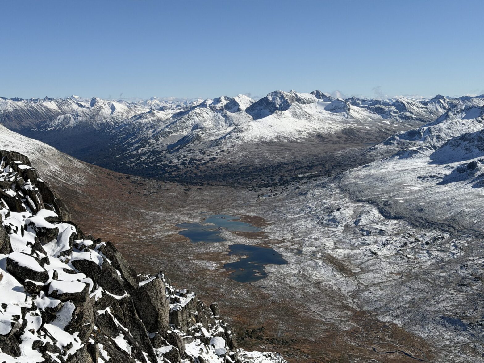
After what I’m sure was a long session of poring over maps, I came across this interesting summit in the Chilcotin’s called Sorcerer. It forms the headwaters of Slim Creek and is bounded by Nichols Creek on the West in the Bridge River area. After Andrea and mines traverse through the Chilcotins followed by Mount Vayu, I was quite infatuated with this part of the range and Andrea and I hatched a plan to go check it out.
We were turned back by cartoonishly swampy conditions in May of 2024 and tucked tails for Mount Penrose instead. Over the years I’d come back to the area for different summits, but we never quite lined up a weekend for Sorcerer. We tried once in the winter, but couldn’t arrange a snow mobile lift to make it work and the summer approaches are all around 2-3 days by any side. Not long after, the Griswold Pass area, just west of Sorcerer, started to gain a lot of attention and soon there were multiple parties out there every weekend. With good reason too. Every photo I saw, had me eager to get in there even more. Despite the crowds.
Finally, in the beginning of October this year, Andrea and I had a long weekend lined up and weather to go with it too! Our plan was to approach in from the Glacier View Peak side and hike in mid-day on Saturday during snowy weather and enjoy two days of sun after that.
With that we woke up at an easy 7am on the Saturday and made the 5 or so hour drive out to the trail head. The FSR along the Bridge River had superlative colours with deep greens and bursts of gold accented by a pearly white dusting of snow on the summits. We stopped a half dozen times to appreciate it all. The final stretch to the mining cabin was the only real driving challenge and we found a reasonable parking spot before the cabin itself.
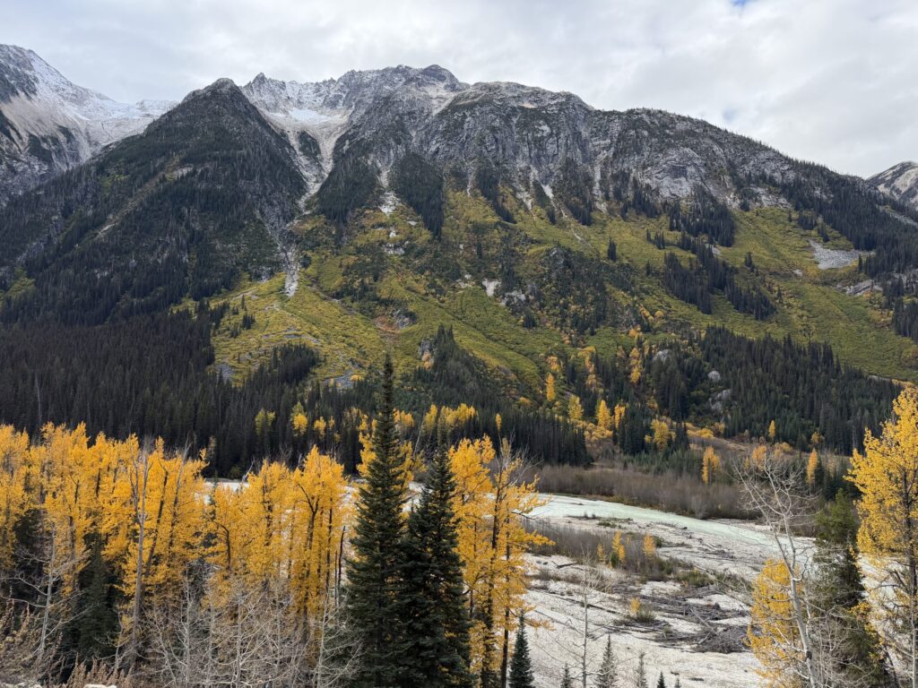
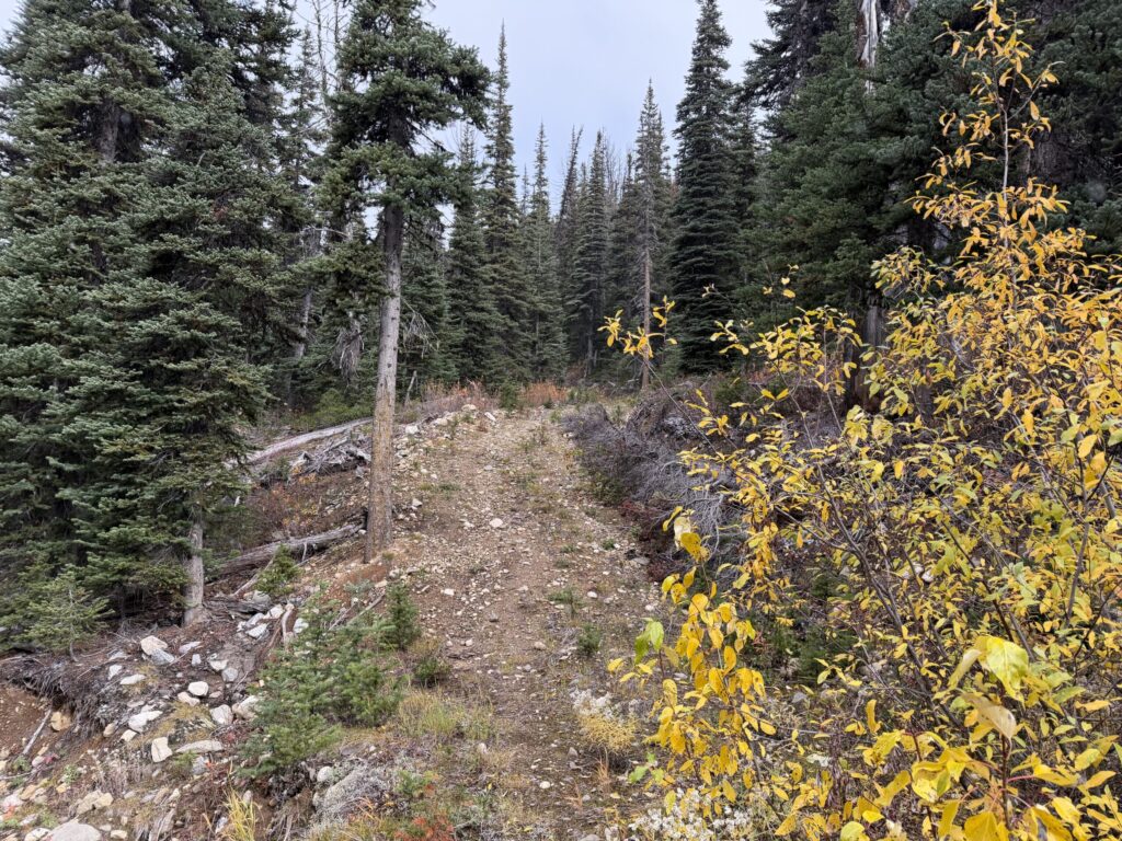
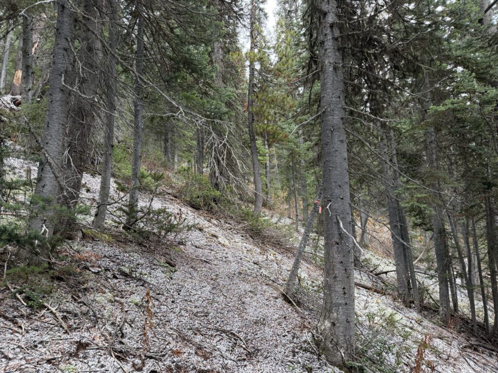
From the truck we followed a flagged trail through the forest and out to the alpine. Despite the weather, the wide open meadows and terrain made for perfect travel. By 4PM we had settled on a camp site only about 7km from the summit of Sorcerer and with a flat sandy bed to call home for two nights. We had enough time to tag nearby Mount Steve, but everything was in the clouds and we decided to save our energy for Sorcerer instead.
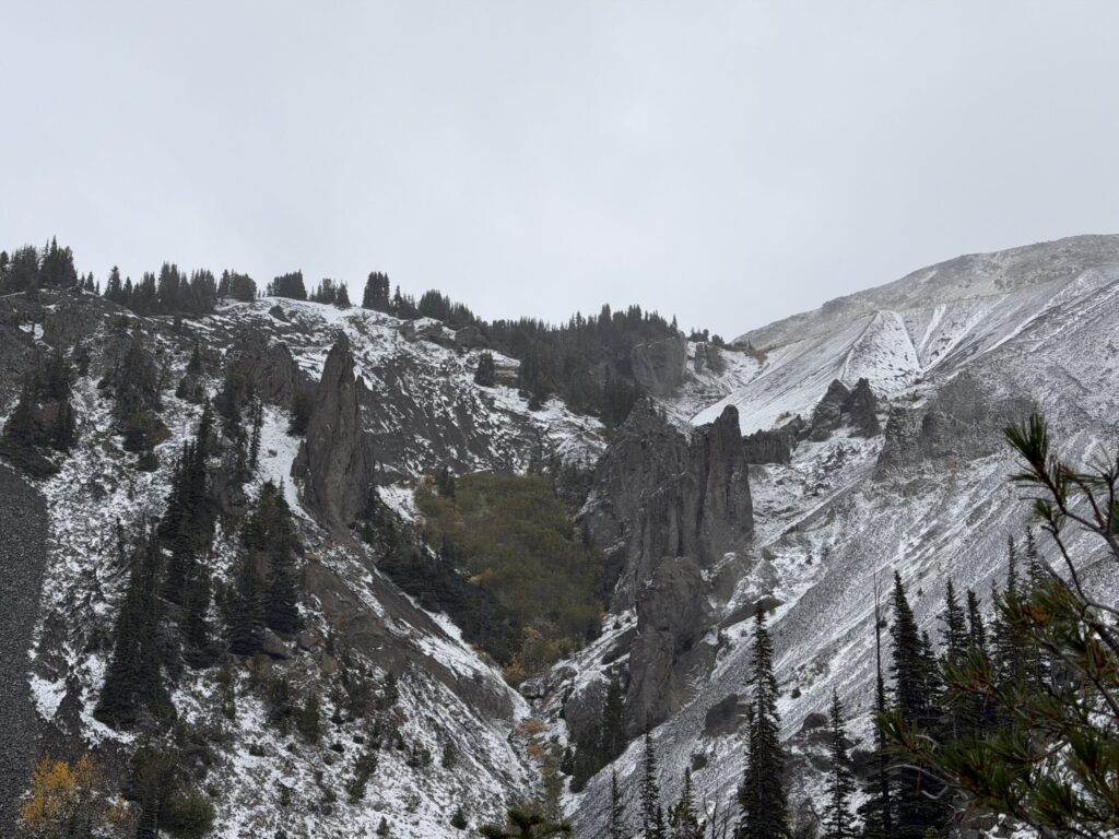
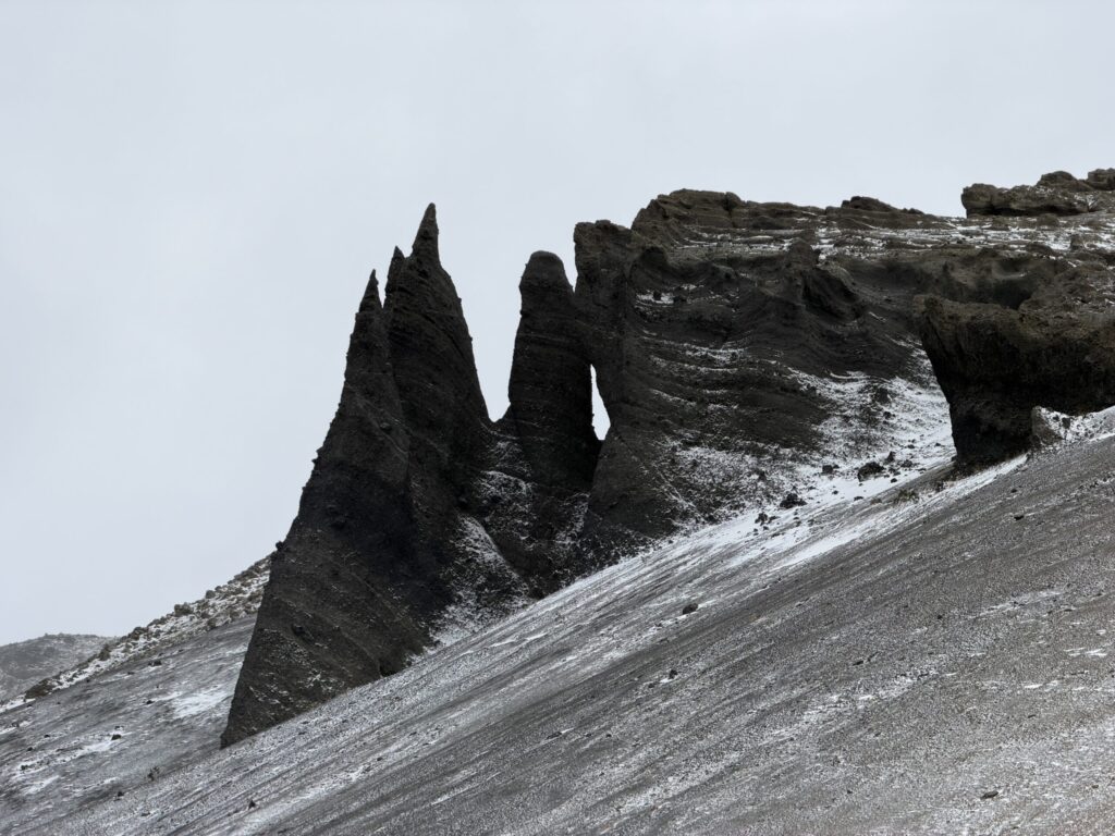
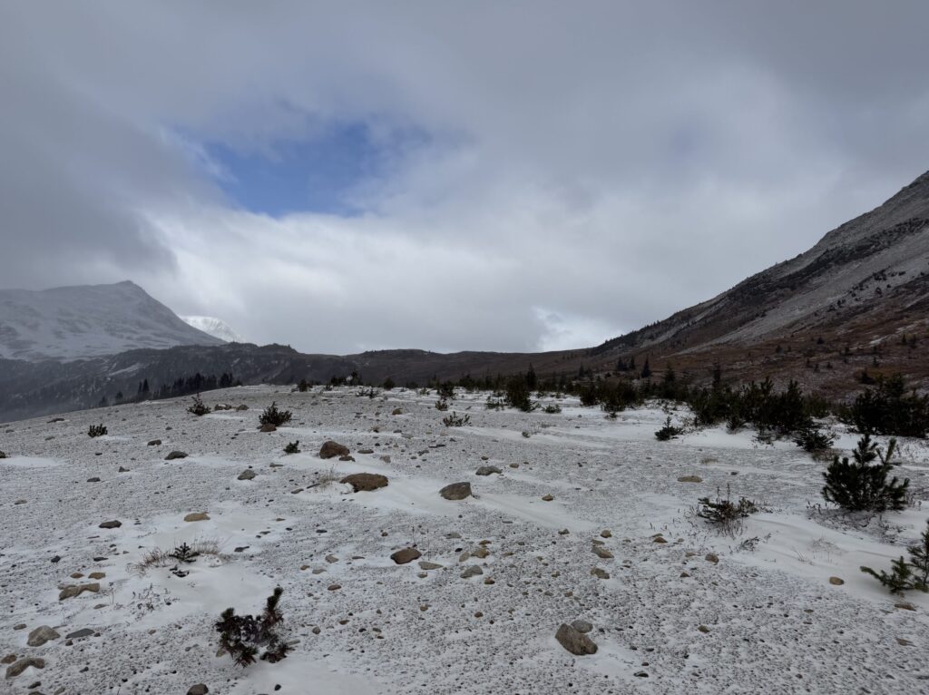
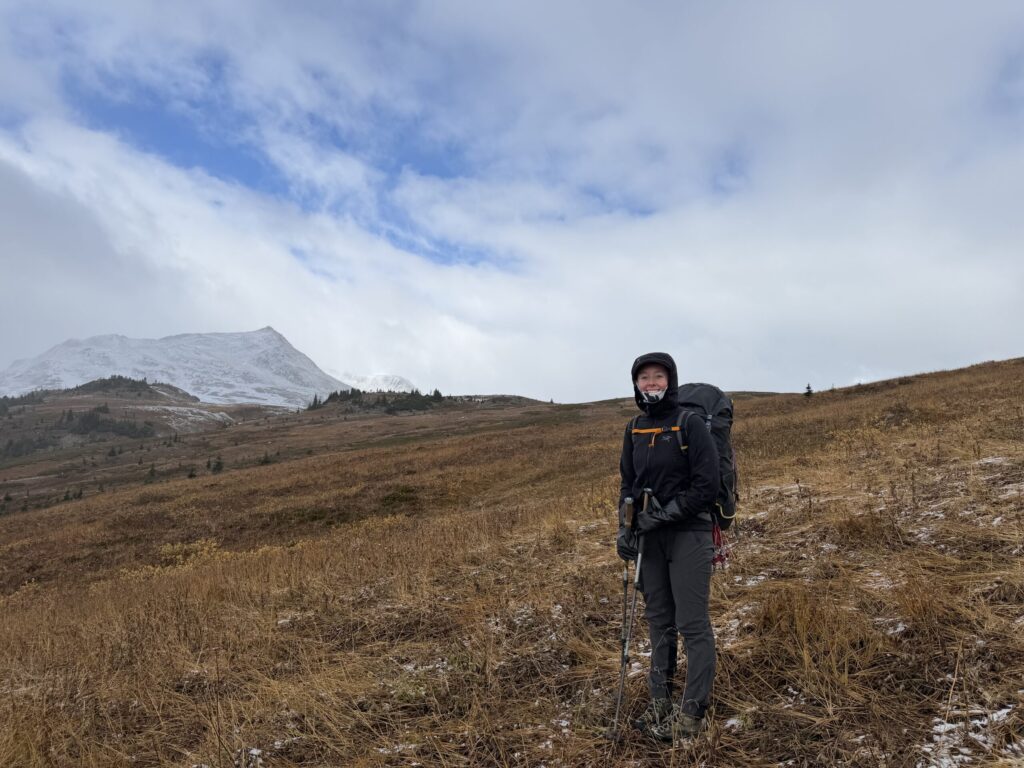

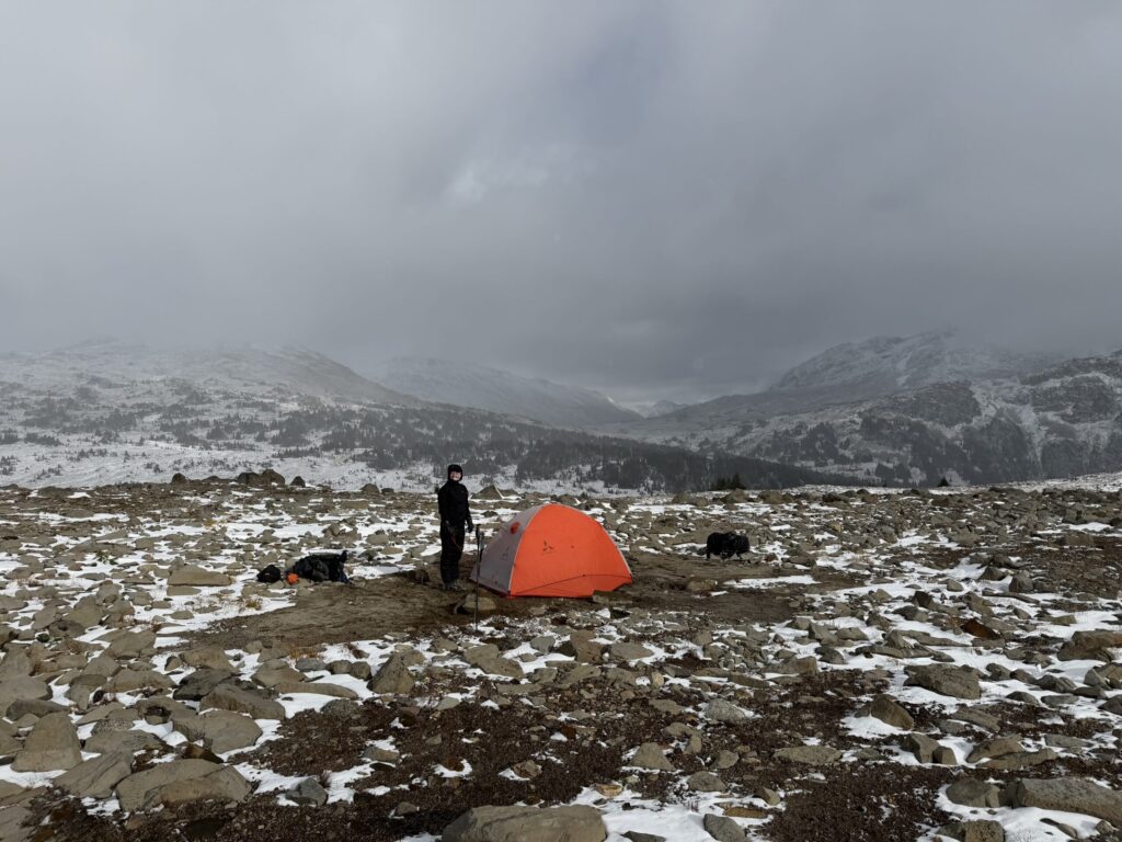
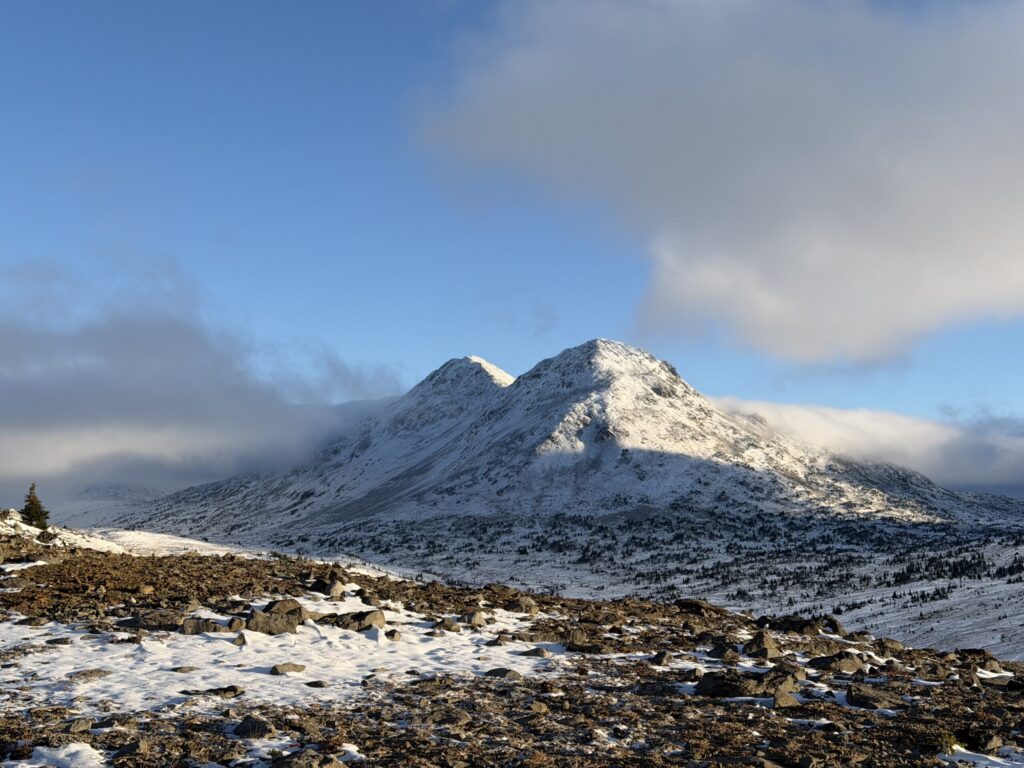

On the following morning we dared not stir until the sun was just about reaching the tent. That was somewhere around 8am and we assembled some hot drinks and breakfast, before a relaxed start to the day. With the sun above the ridge lines, we headed off for Sorcerer. The first order of business was crossing Nichols Creek and after searching far and wide, we found no dry way to cross. So we bit the bullet and crossed barefoot in the frigid waters. Our feet felt like frozen blocks for at least 20 minutes after, but we did eventually thaw out as we traversed towards Sorcerer.


We contoured around Mount Steve and then crossed the unnamed creek that runs West from the Slim Creek divide. From there we boulder hopped for a long ways until reaching the retreating glacier on the north side of Sorcerer. We booted up the low angle glacer all the way to a low point in the ridge and then scrambled on the south side through snow laden rock towards the summit. Our route necessitated only a few third class moves but was otherwise quite uneventful.

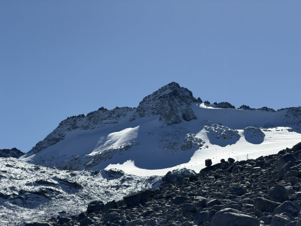


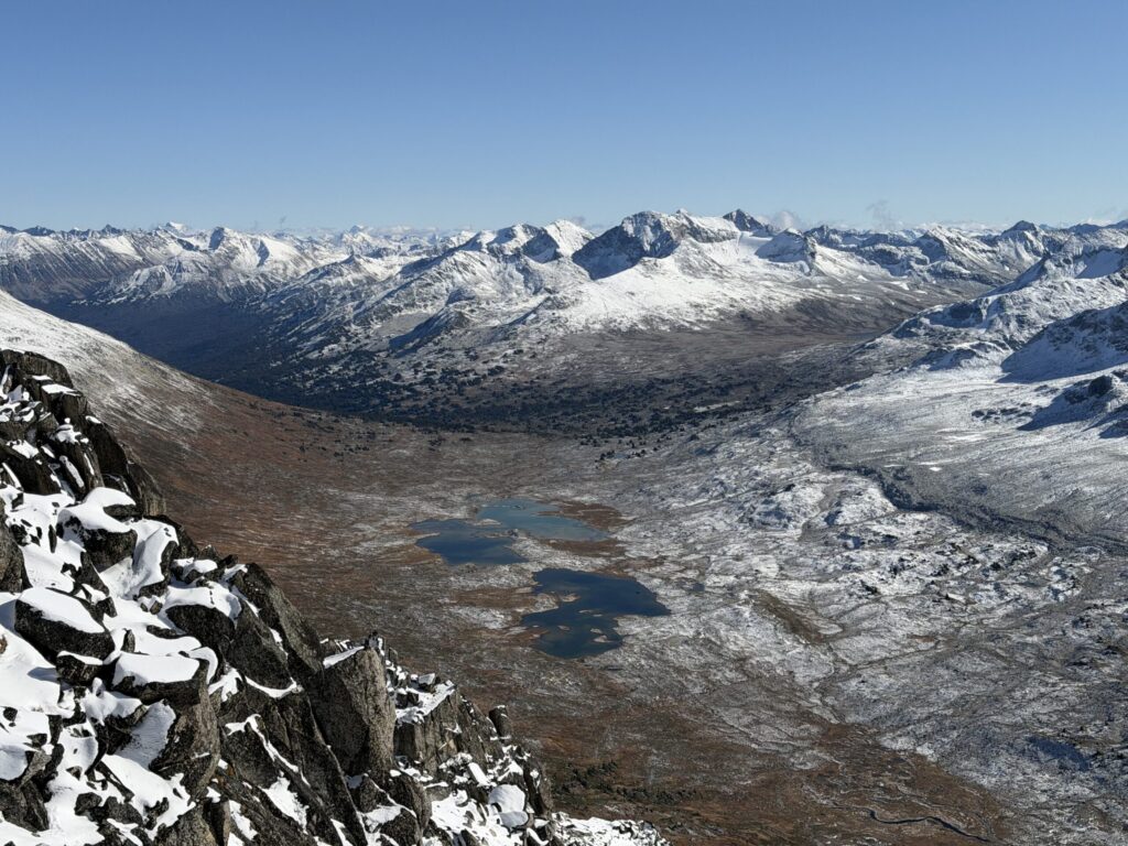

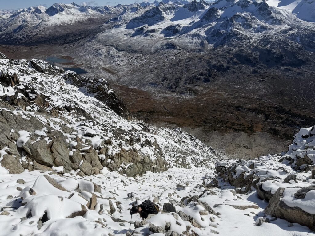
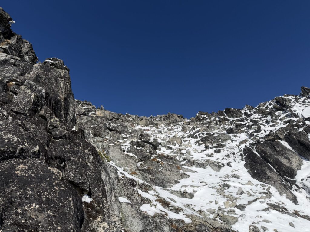


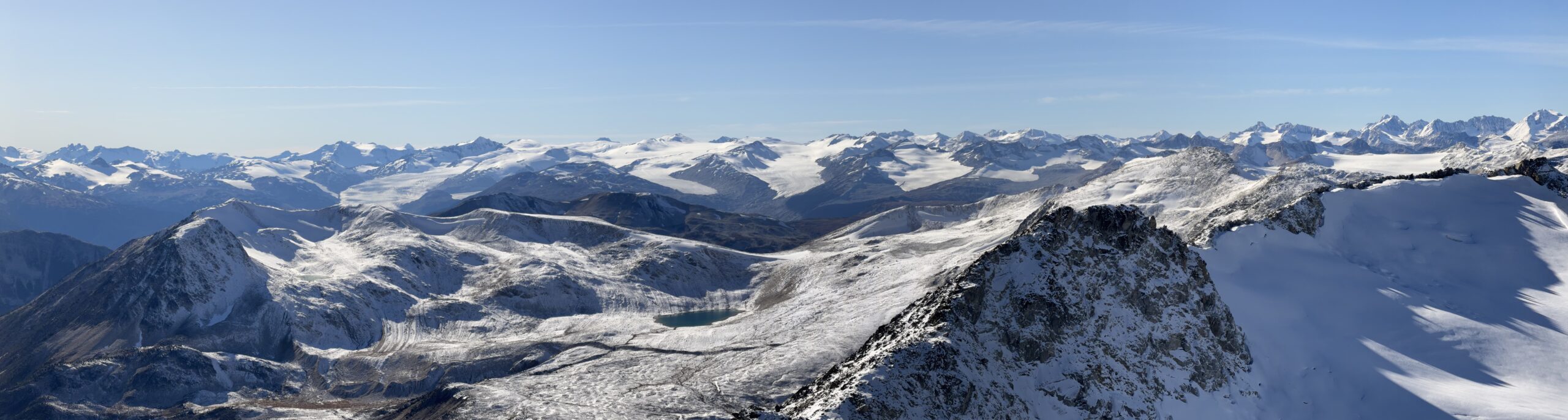
The descent was of similar difficulty as we largely stuck to our original line allowing for a few variations. Booting down the glacier was especially fun and then rather than stick to our long boulder hopping route we aimed for the valley lower down. This had the bonus of avoiding our second creek crossing and less elevation loss.


Part way through the treeline we stumbled onto a large brown bear grazing in the fields. It stood on its hindlegs to get a sense of us but seemed largely unbothered. We pressed on, checking behind us occasionally to see if it followed, but it never did. On the way back we trended even further North up Nichols Creek and found one tricky spot to cross without taking our boots off. Back at camp I tried not to ponder about the bear too much while we cooked our hot dinners. Thankfully we had no solicitors in the night and on the following morning it was a pleasant return to the trail head.


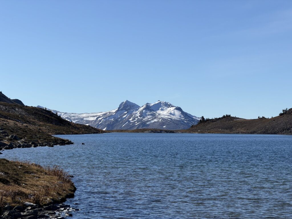


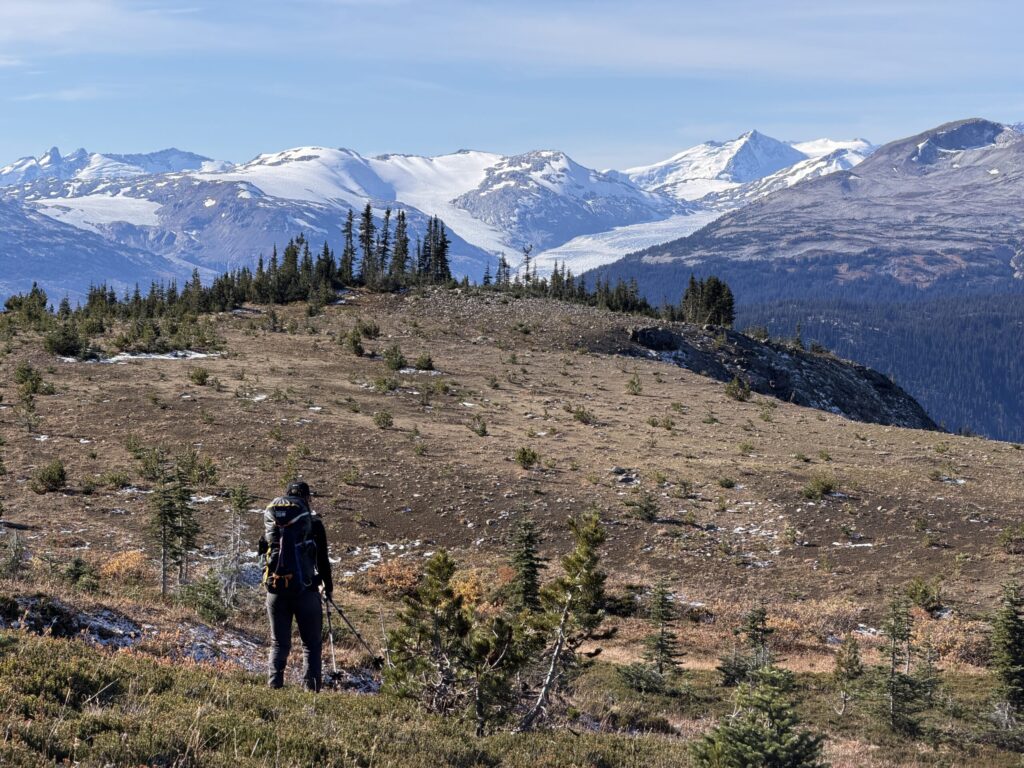
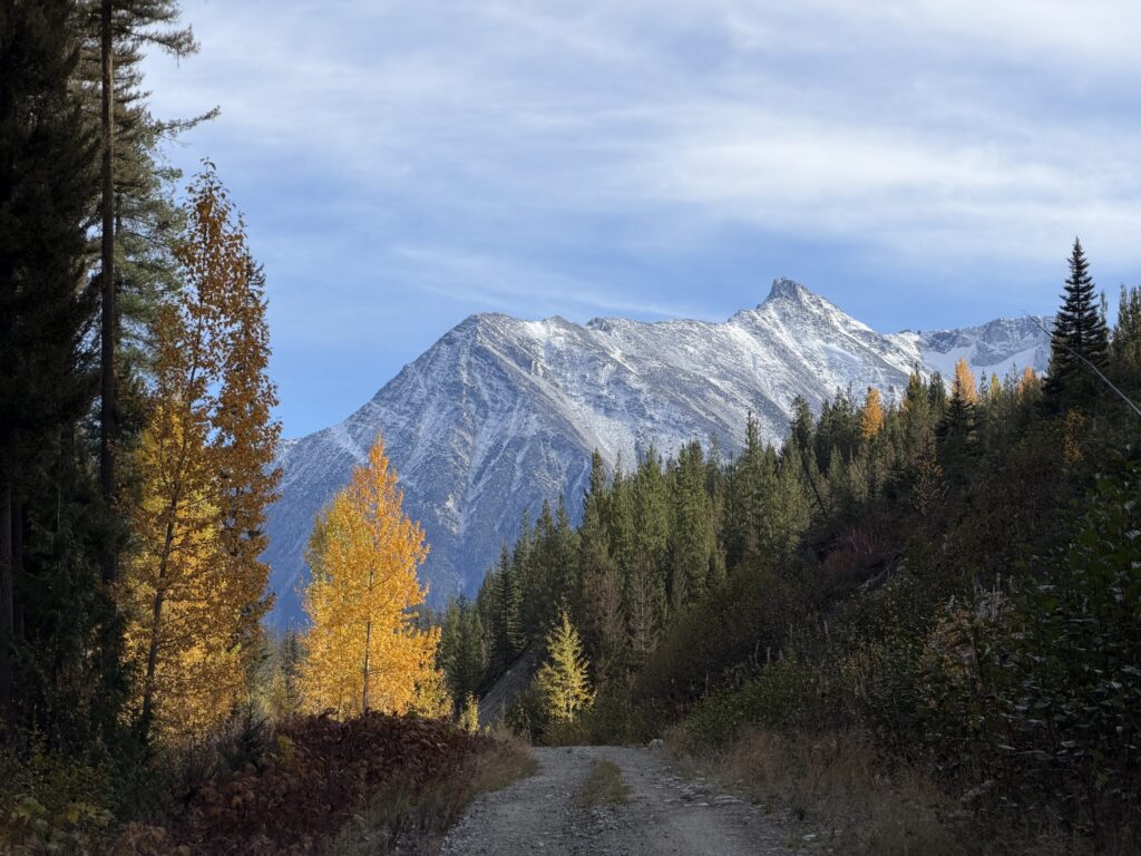
This area met and perhaps exceeded all expectations. It’s no wonder it’s getting popular. Let’s hope that the roads are kept open so that others can enjoy this corner of the mountains in the future too.