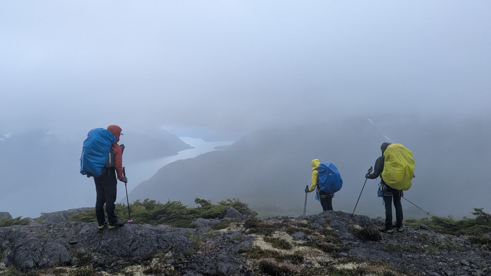
Curious Peak marked the final summit of our Compass Lake to Dean Channel traverse. From the summit of Strange and Charm Peak, Curious had presented itself as a somewhat pointy summit guarded by broken ridge line and a glaciated north face. Now on the descent from Capricious Peak, these features were obscured by clouds and looming rain. At the col, the gendarmes and discontinuous nature of the east ridge came into focus and we got to work looking for a way onto the north glacier. We spotted something straightforward just a hundred meters from the col and descended down the snow ramp to gain the glacier proper.
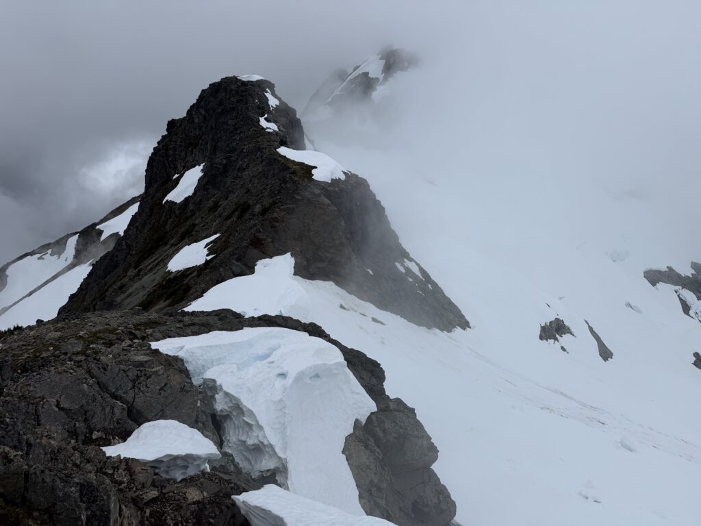
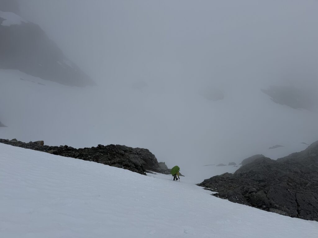
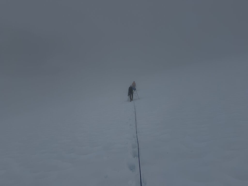
Here I lead the first steps across the glacier with all of us roped up. The wet slushy snow made for a tiring affair, but we swapped leads after reaching the base of our proposed snow face up to the ridge. Brayden took the next lead and we booted up modestly angled snow all the way to the barren rock ahead.
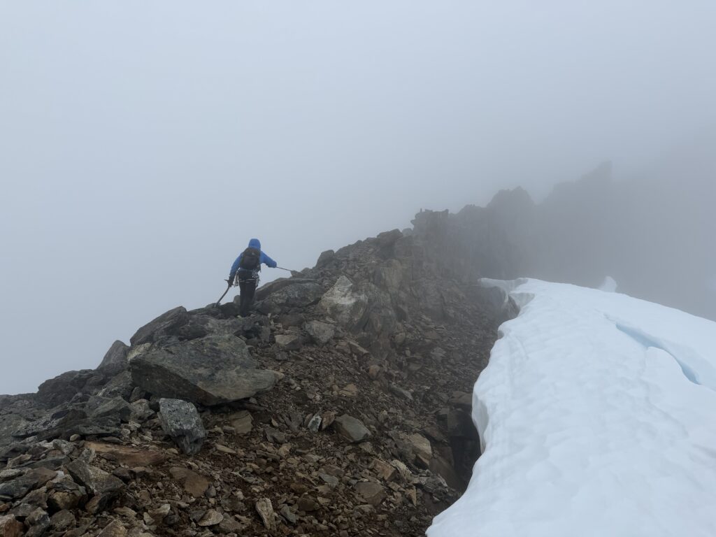
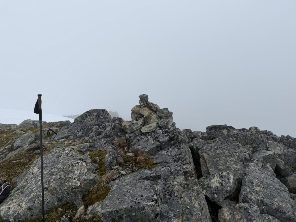
At the ridge we ditched our snow gear and scrambled up loose but easy rock all the way to the summit. Like the other summits in this area, we found no cairns, but we await to hear back from the geology team that worked these lower slopes.
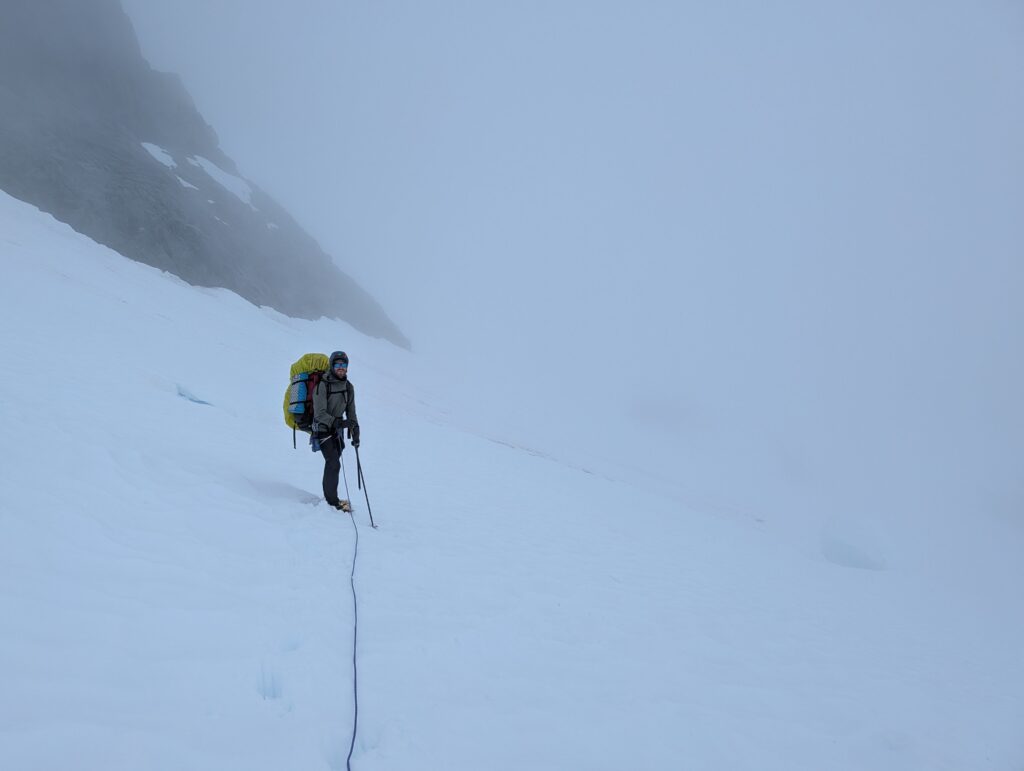
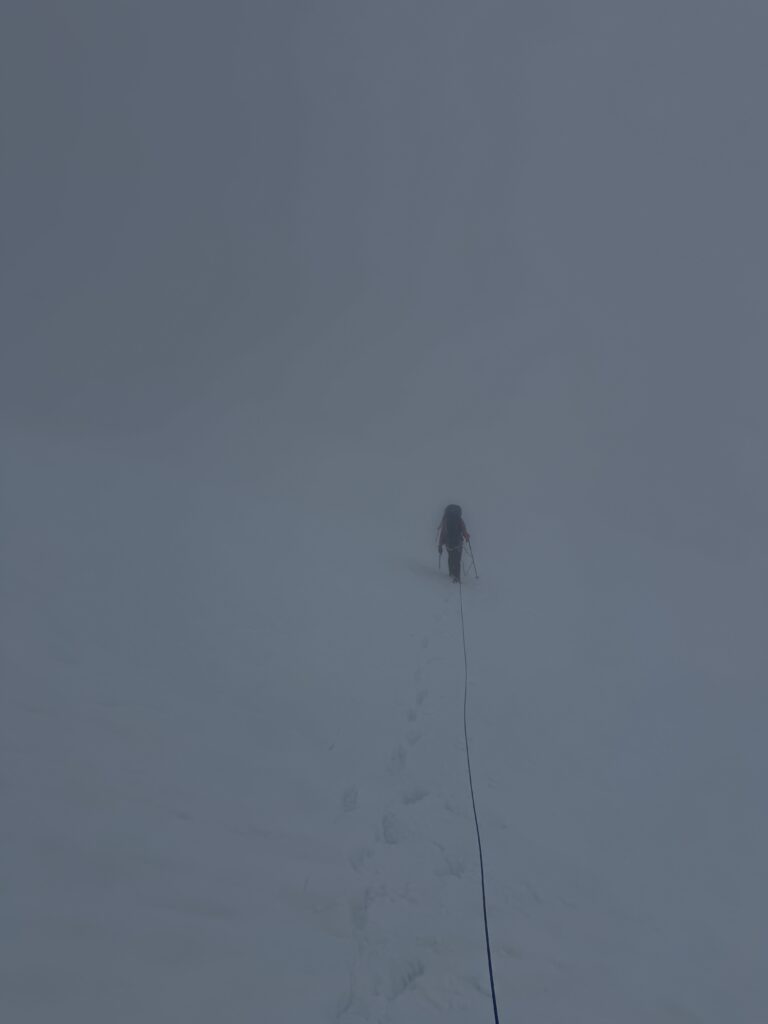
We returned down the ridge and roped up again to get onto the glacier. Alex now lead us contouring on a bench and across a few steep snow runnels to gain the north ridge ahead. Just as we reached the last of the glaciated terrain, the rain started to fall. Our route ahead was still obscured, but Alex managed to lead us through the countless bluffs and undulations towards treeline below. Before long we were under the cloud ceiling and a new world unfolded before us. The Dean Channel was just as mesmerizing as the first time I saw it.
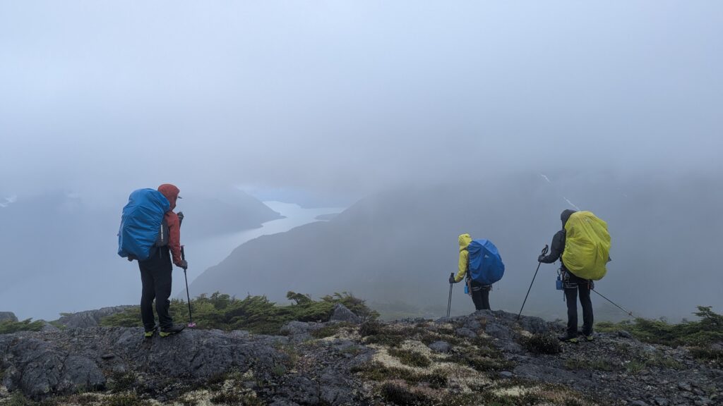
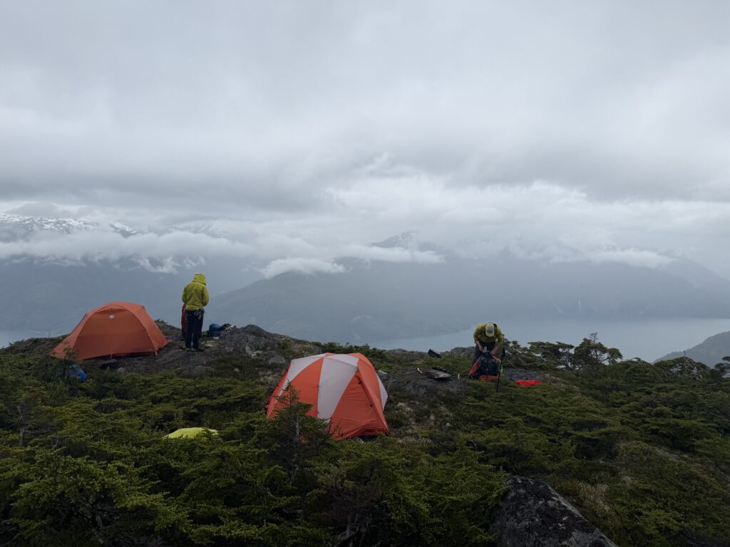
At about 1200m we reached the first of many potential campsites, but it wasn’t until 1100m or so that we found somewhere suitable for two tents and a multi-day rain event. The rain dissipated a bit and we spent the rest of the day setting up camp and hanging out. It proceeded to rain in droves on the 13th day and virtually everything except Sarah and mines sleeping bags got wet. By evening water was beginning to pool around the tent and an emergency trench was dug to divert the flow. Thankfully, we experienced no further issues. Day 14 was rainy again, but more intermittent and we enjoyed several rounds of cribbage and otherwise just hanging around.
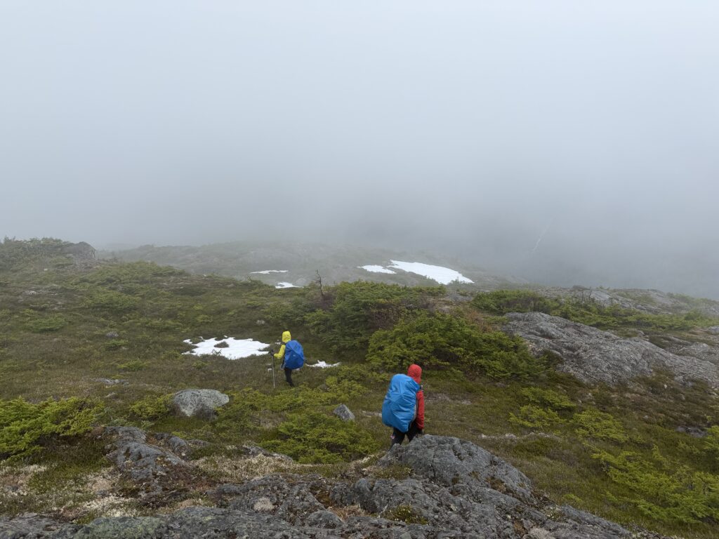
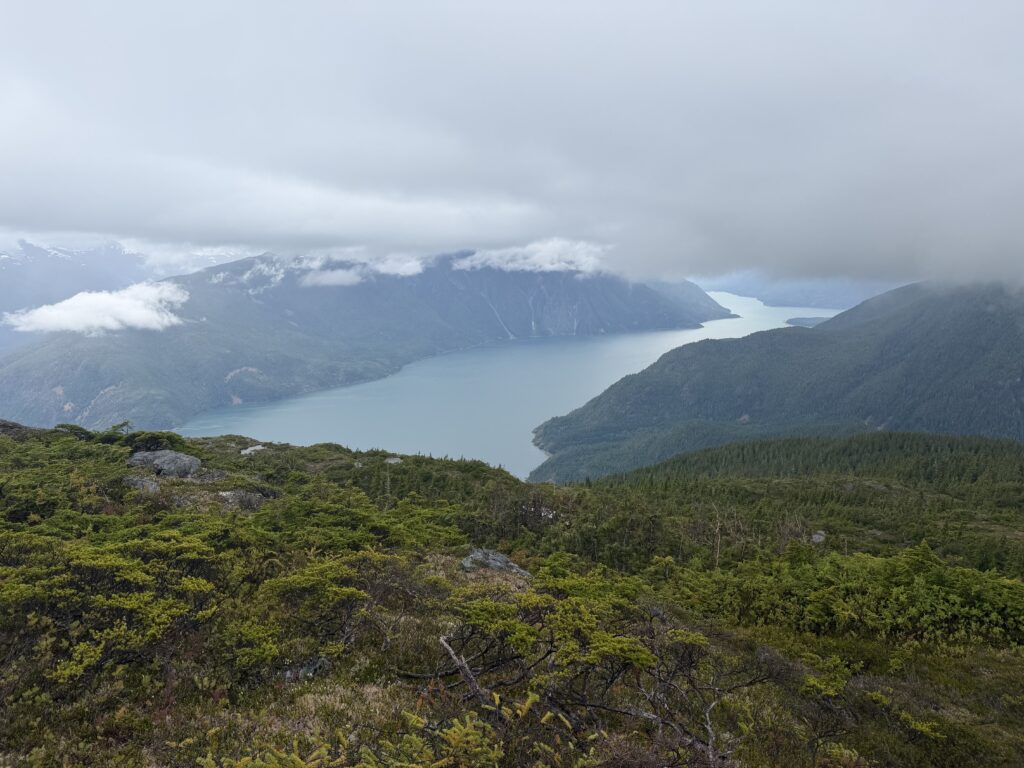
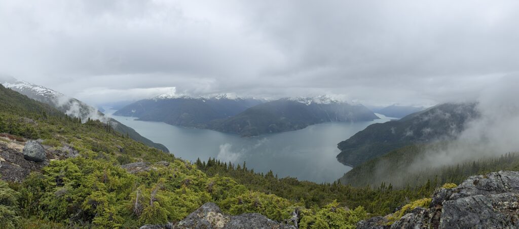
Day 15 was our pick up day. We elected to get up extra early to give ourselves a fair chance of reaching the shoreline before the float plane arrived. All of us were naively expecting a relatively reasonable descent. Instead we found ourselves swimming through endless bush with water absolutely pouring through every seam, hole and nook in our clothing. Within 15 minutes we were soaked to the core and marched like drowned rats down through the forest.
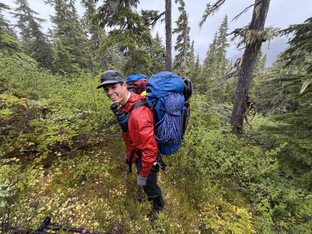
Part way down the air was suddenly permeated with a thick spicy taste of some kind and a few moments later we realized Brayden’s bear spray had been triggered as it pressed against his backpack. No one took a direct hit, but the direct contact on Brayden’s skin surely caused some burning. After that debacle, we were finally free of the bush in the last last 3-400m of descent to the beach. Evidently from some very old cut blocks that took us all the way down to the shore. Fortunately for us, the sun was shining on the shoreline and we took advantage to dry our gear out before the plane arrived.
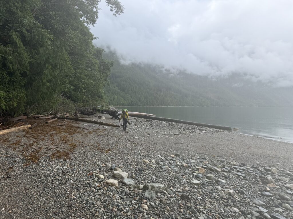
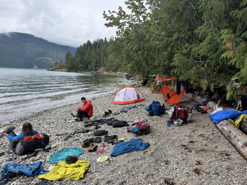
Arrive the plane did not though. 11am came and went and through InReach we learned that Tweedsmuir had attempted to fly down to us but could not get over the pass to the Dean River. Meanwhile we had perfect weather at the pick up spot and even watched 4 or 5 helicopter flights ferry people from Bella Coola to the Dean River air strip.
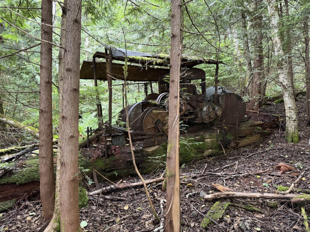
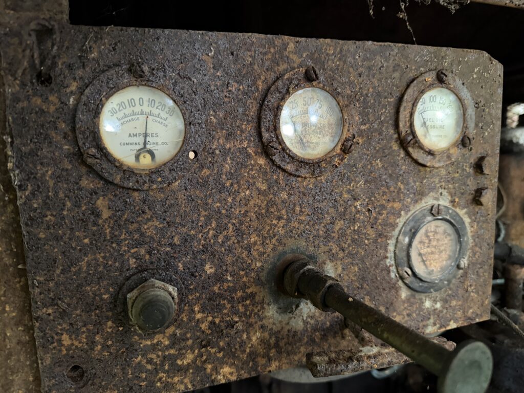
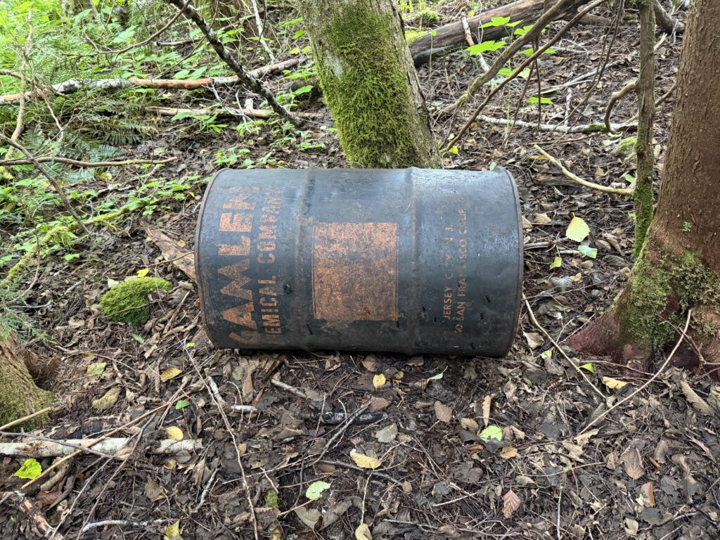
We waited around wondering what the likelihood of getting out was and I spent some time scouting potential camp spots. In doing so I inadvertently ran into an old steam donkey. Not unlikely to have been the culprit behind the cutblocks we had travelled through. After waiting around for any news, we finally heard back that Tweedsmuir would make one more attempt around 4pm.
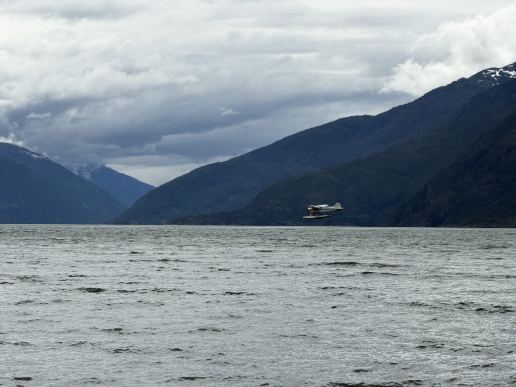
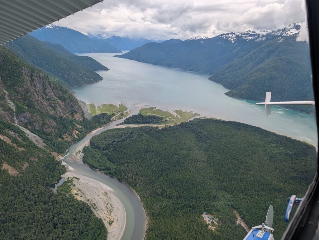
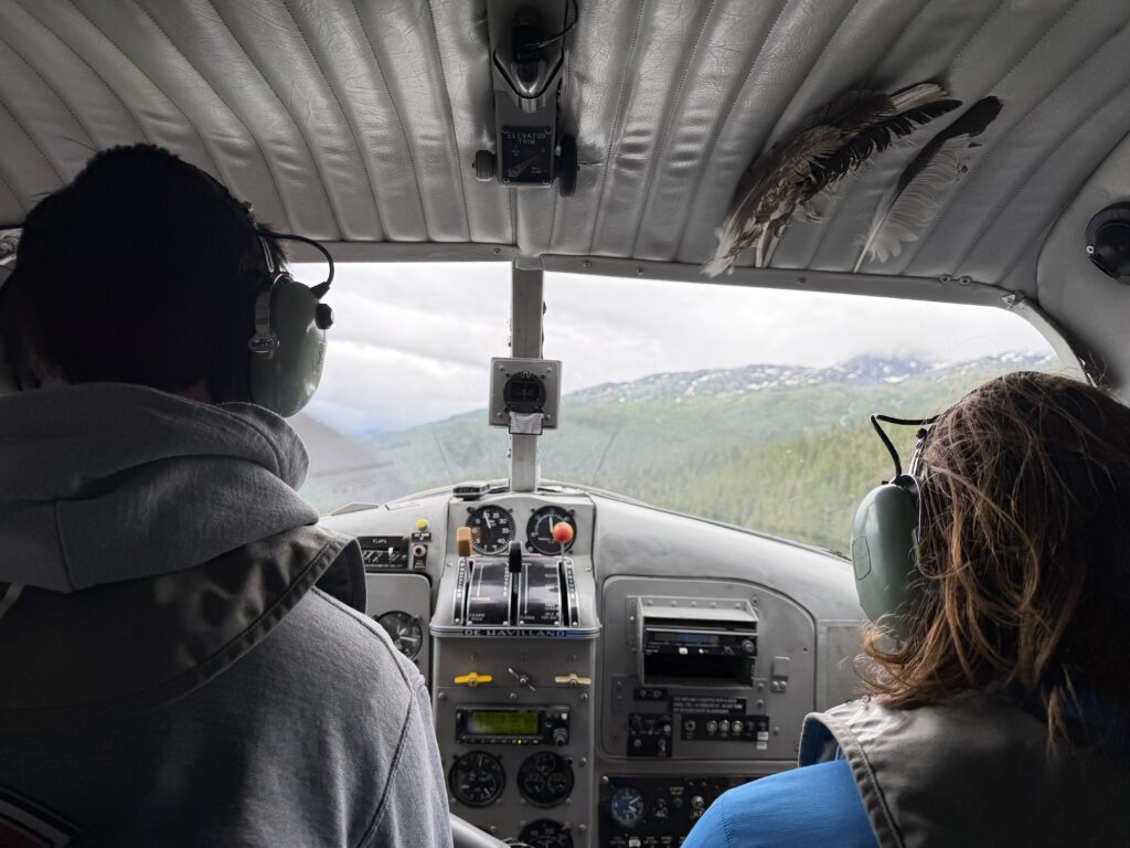
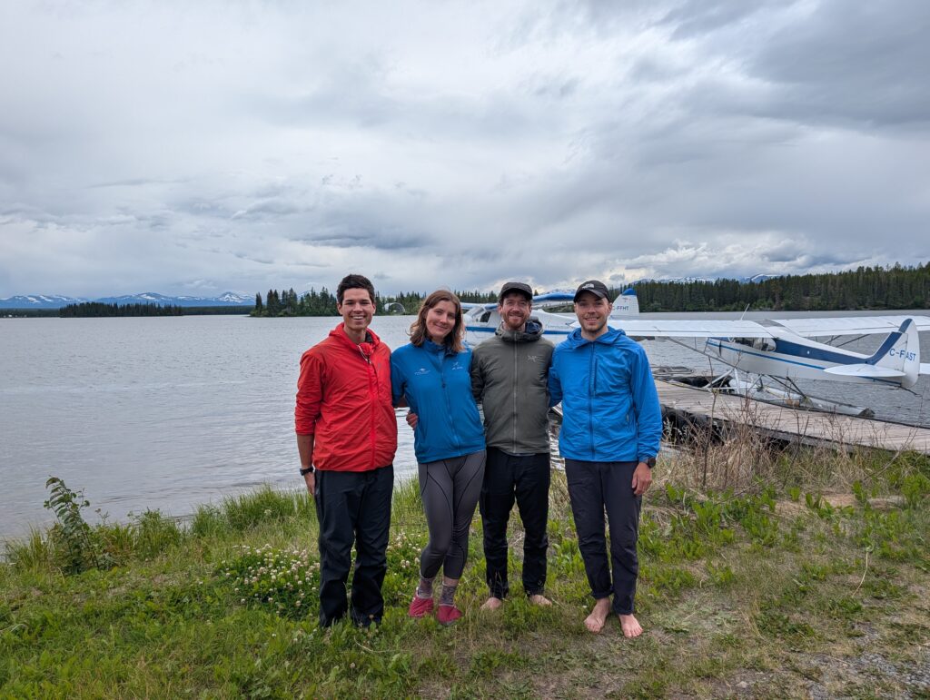
This time they made it through and we quickly rushed onto the plane and were whisked off before the weather closed in again. That marked the end of an arduous but rewarding traverse through another corner of the Coast Mountains. There had been a lot more bush than I originally anticipated and I was thankful that our team did not commit mutiny after so many days of evergreen views. It was somewhat unfortunate to find the amount of geology work in the area prior to our visit, but in the end it really didn’t detract from what was a splendid outing in such a beautiful part of the Cost Mountains.