
Elevation Gain: 5386m
Distance: 74km
Total Time: 3.5 days
Date: April 24th – 27th, 2026
stats are for all 3.5 days of our traverse
On day 3 of our 4 day traverse through the Lillooet Icefield, we were planning to climb Mount Fulgora. It would mark the farthest point north and east that we would travel. While I’ve neglected to mention too much of the history around the other summits we had done on the traverse so far, I feel Fulgora deserves a little detail. The first ascent was in 1963 by the Kafers and Eigenmanns. They were dropped off by BCMC member Roy Mason who had in recent years acquired a plan and outfit with skis. He had learned through trial (and some error) how to land on the expansive glaciers around the area. Many BCMC members were quick to see the potential and the Kafer’s made use of this new found access to reach the Lillooet Icefields. John Clarke would also go on to make use of Roy’s plan on numerous trips throughout the Coast Mountains. Have a read of “Ice Runway” if you’re curious about the whole story.
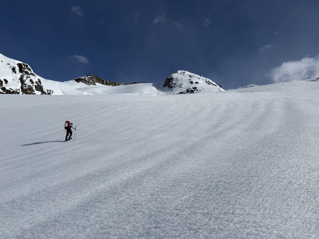
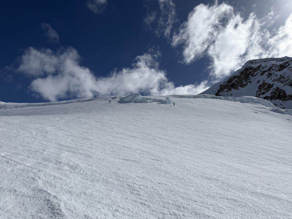
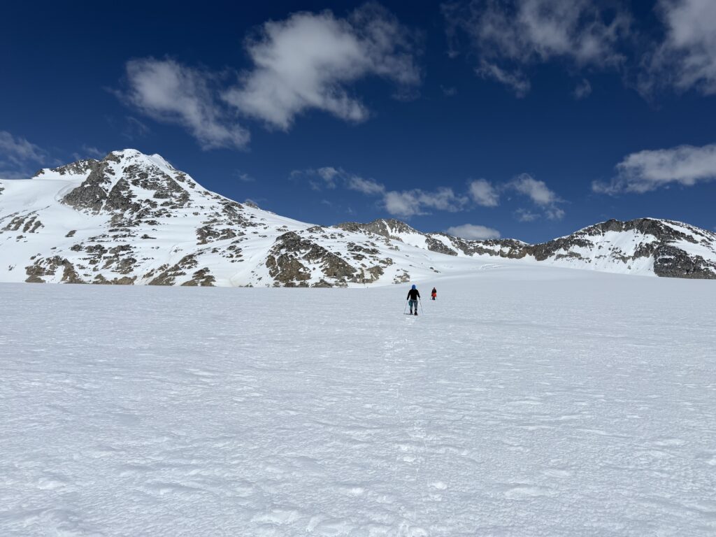
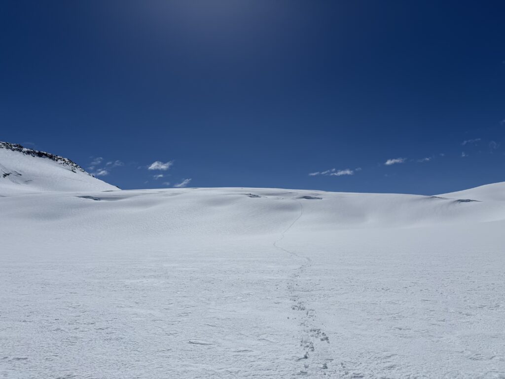
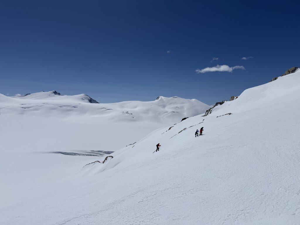
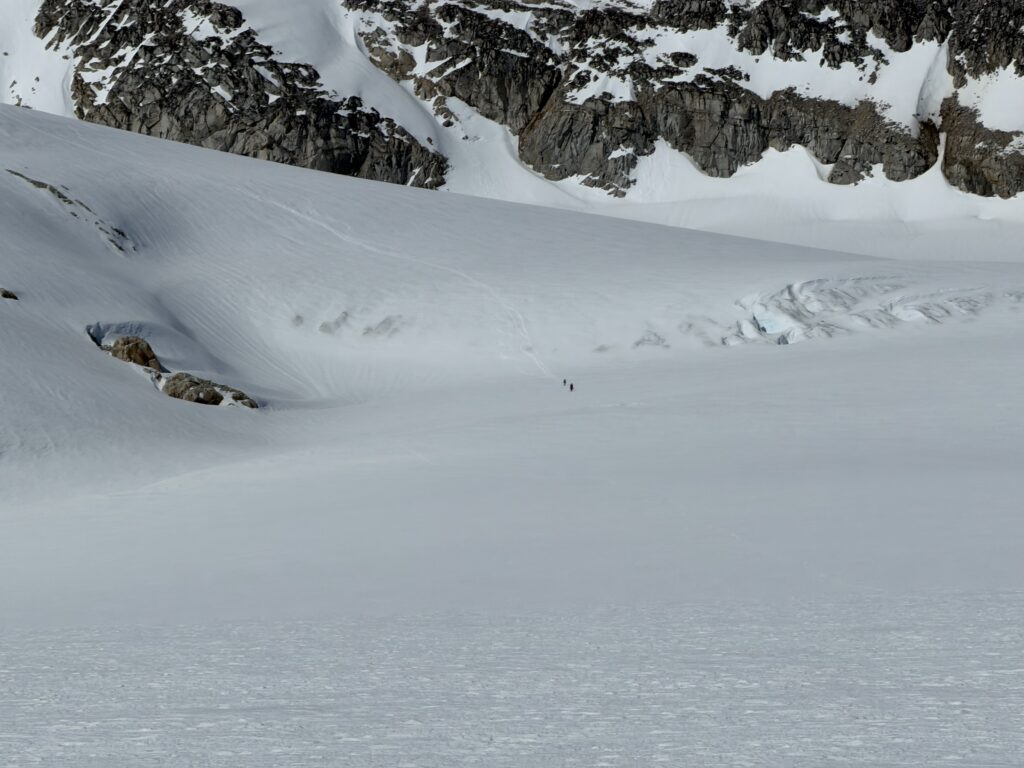
Our journey started on that third day at the base of Mount Alecto. We packed our tents and made the 300m descent down the Ring Glacier to the start of a long ascent back up to the divide of the Stanley and Bridge Glacier. Losing 300m only to gain 800m right after was a tough sell, but there’s no other choice. The terrain was at least quite spectacular and again we had another morning full of sun. We weaved our way up the benches and then took a more direct line through a crevassed section which marked the end of a long climb up.
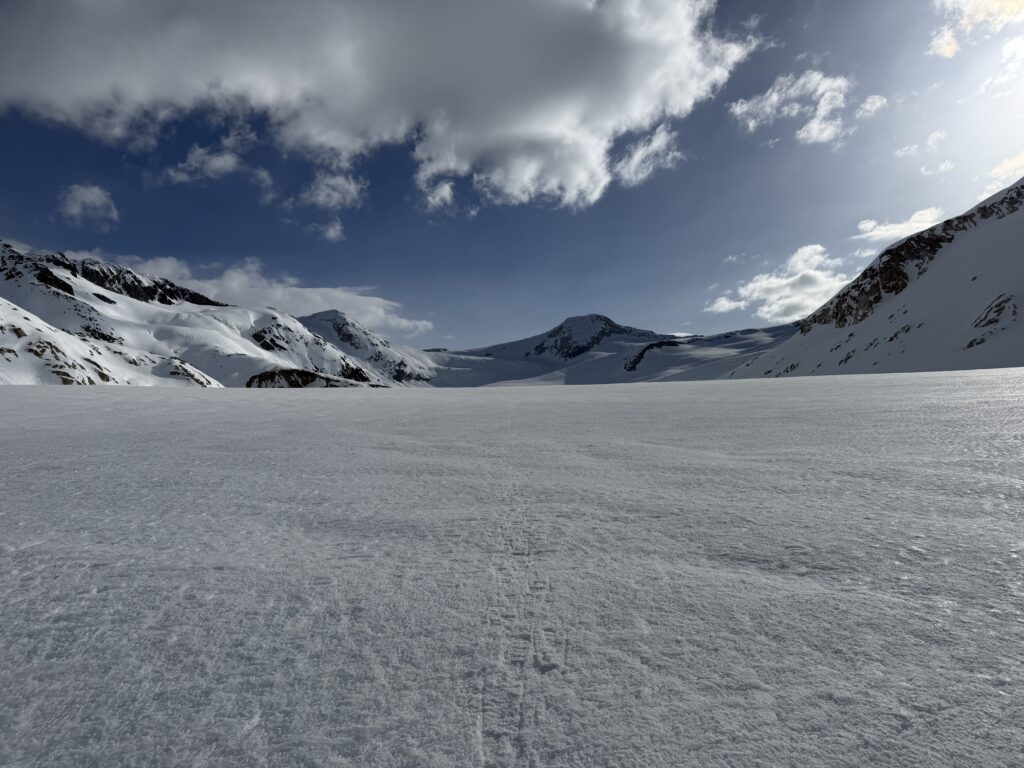
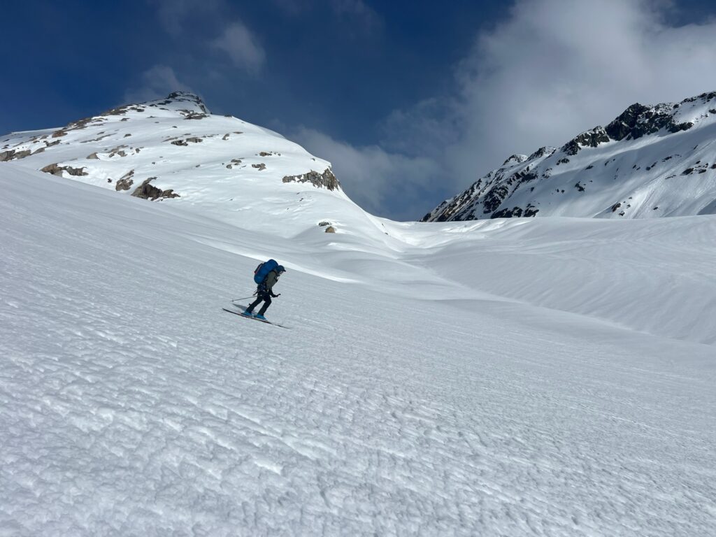
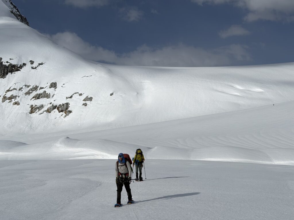
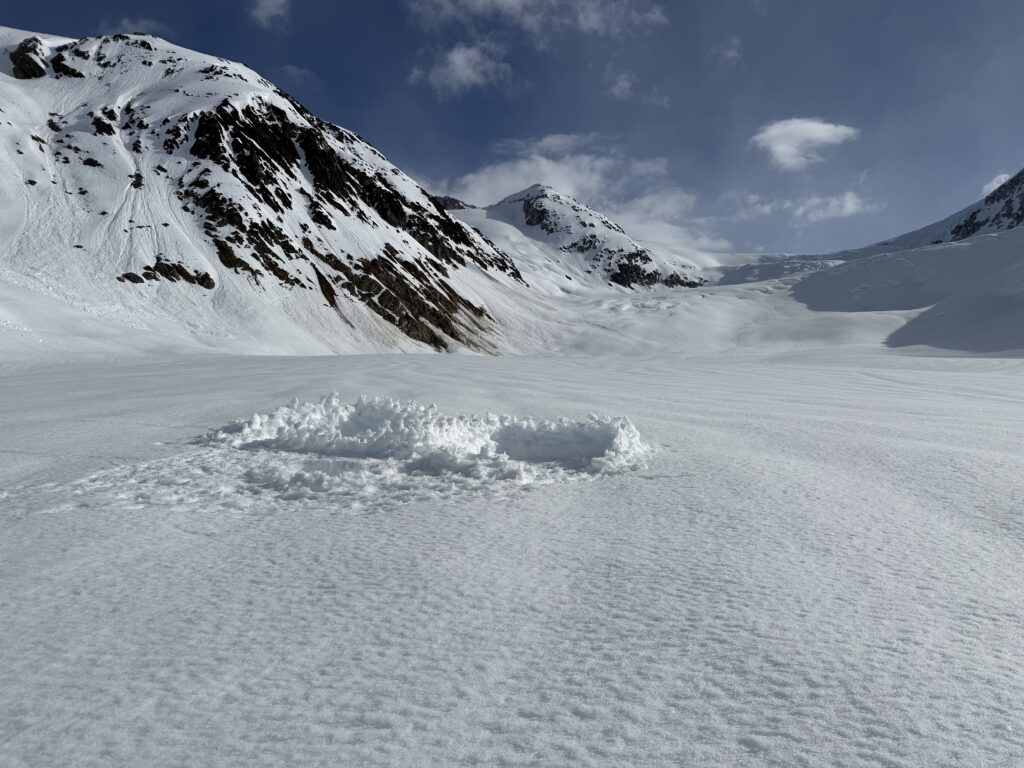
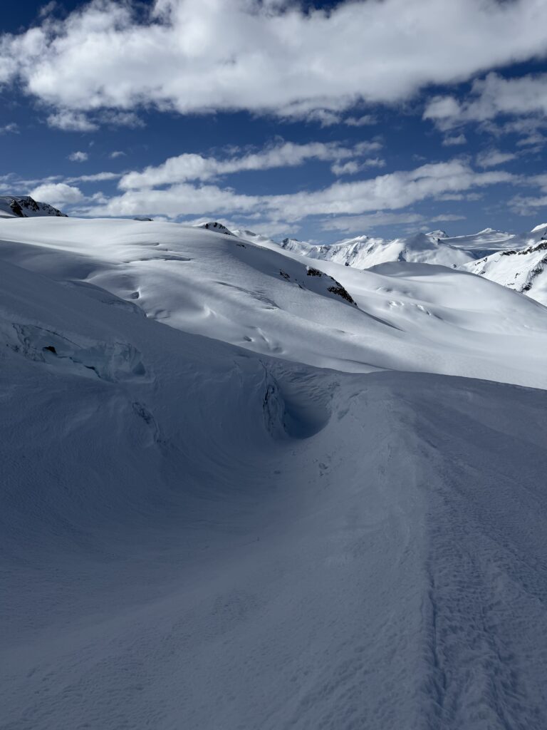
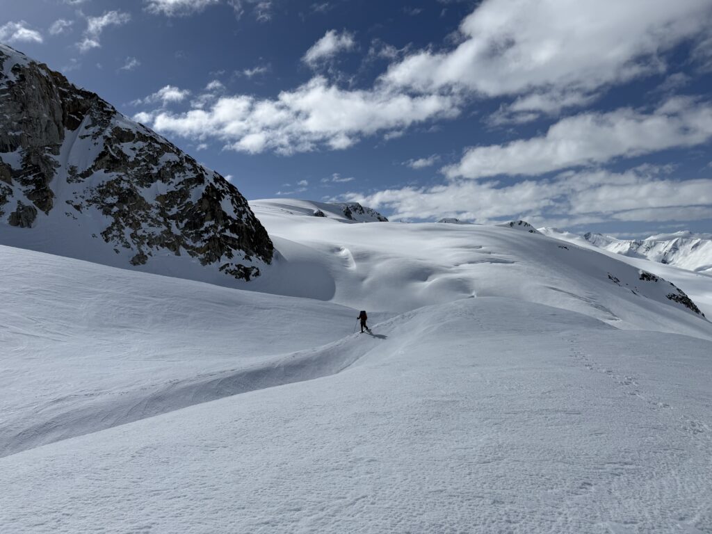
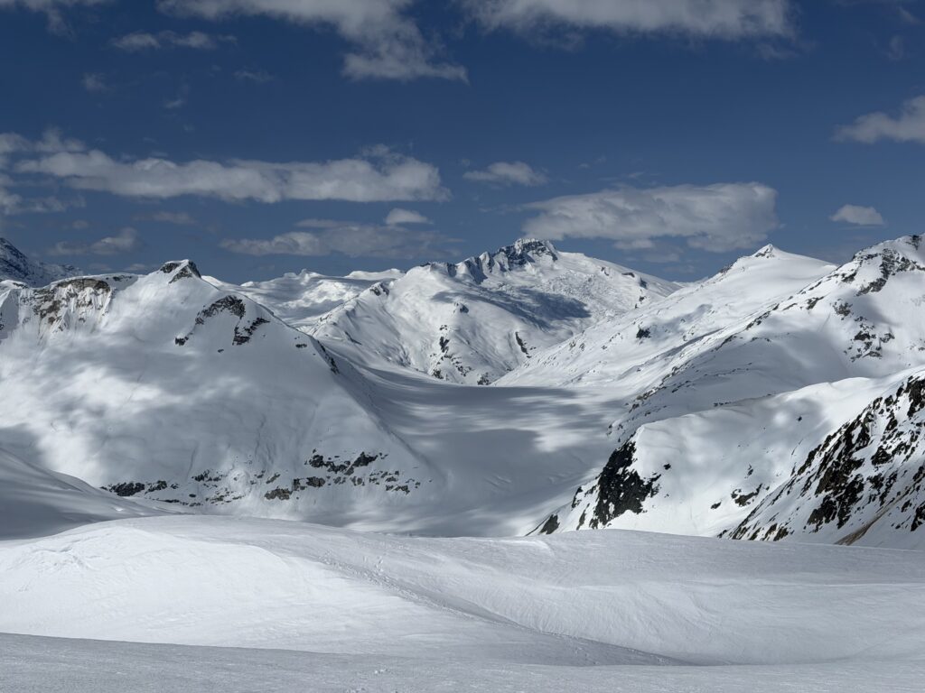
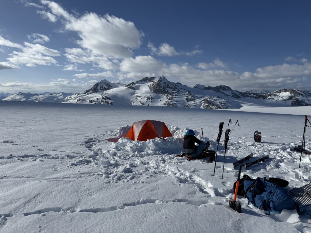
There was one more foreshortened section of low angle terrain and then we had reached the divide at last. We sat down for a long lunch break and then it was time to traverse over to Mount Fulgora. Thankfully, we’d be leaving the heavy packs behind as we stopped more or less where we planned to camp that night.
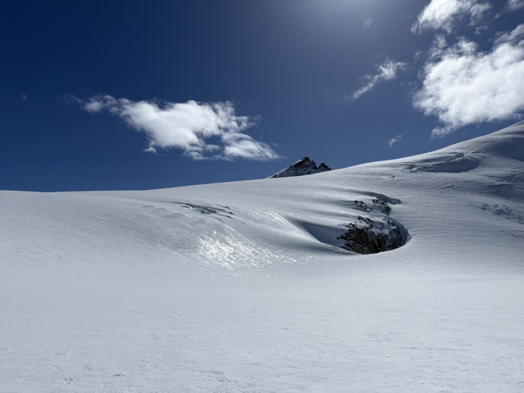
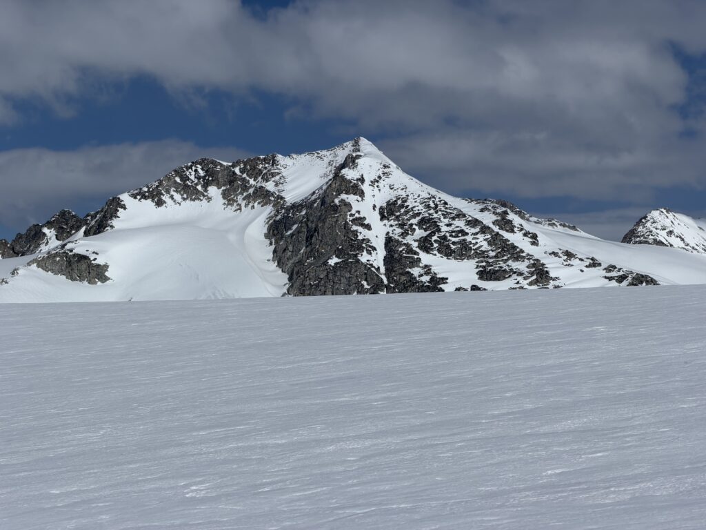
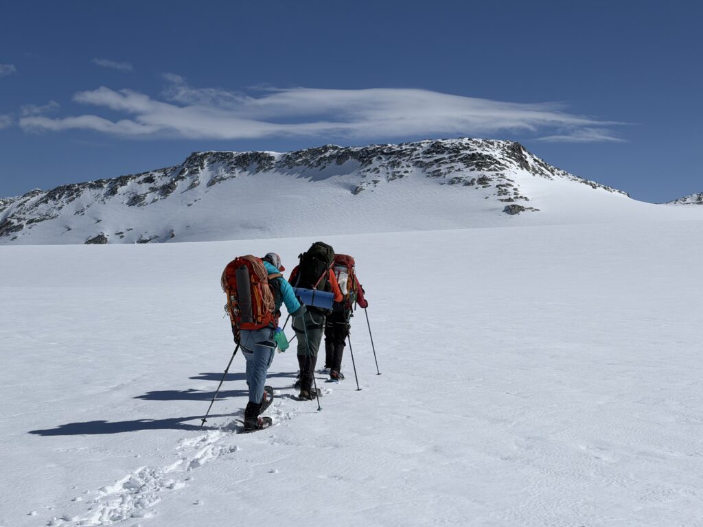
Steven, Alex and Seb got a head start on snow shoes and I took my time getting the skis ready. The skis wouldn’t prove as fruitful this time as the steep descent down to the Stanley Smith Glacier was blanketed in breakable crust. I did my best to survive and eventually joined the group mid way down the long flat section to Fulgora. We teamed up from there and ascended most of the way up the East ridge until reaching a dry rock outcrop near the top. The slopes steepened for a short section here, so we ditched the skis and snowshoes and then booted up on foot. After the one steep section it was an easy walk to the summit.
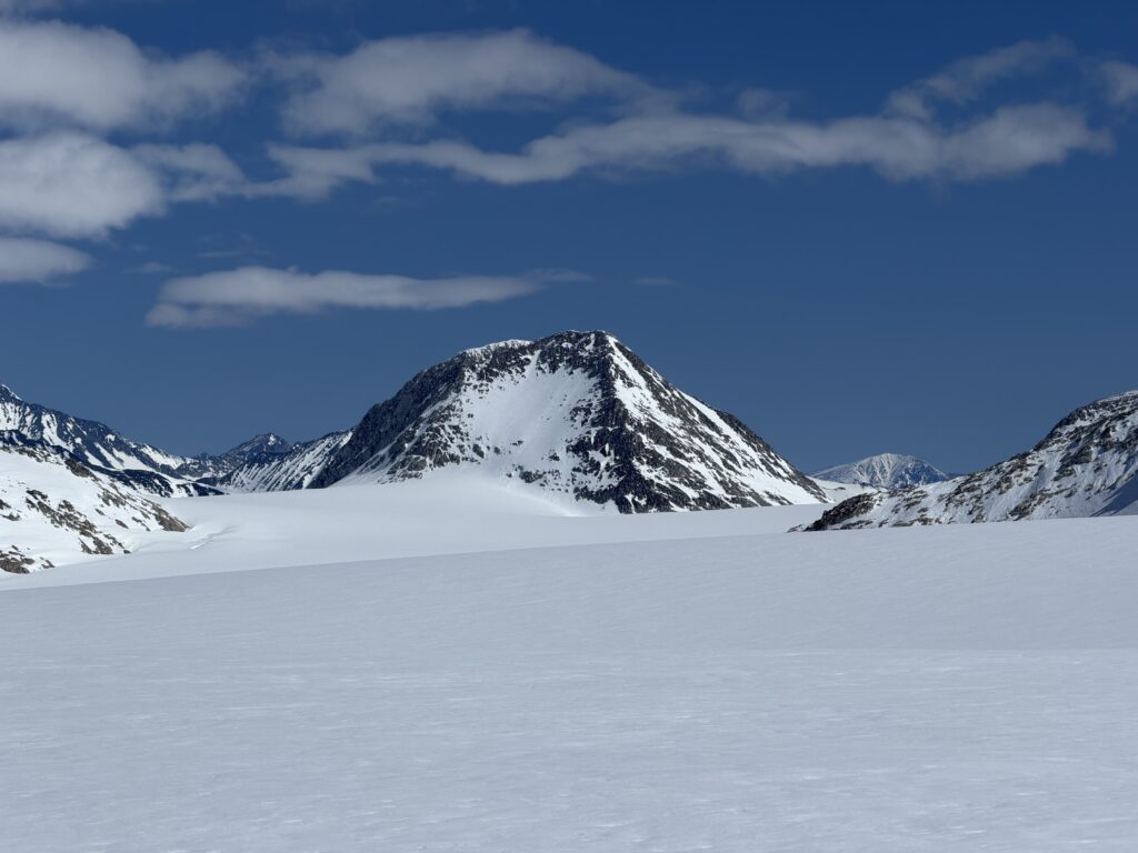
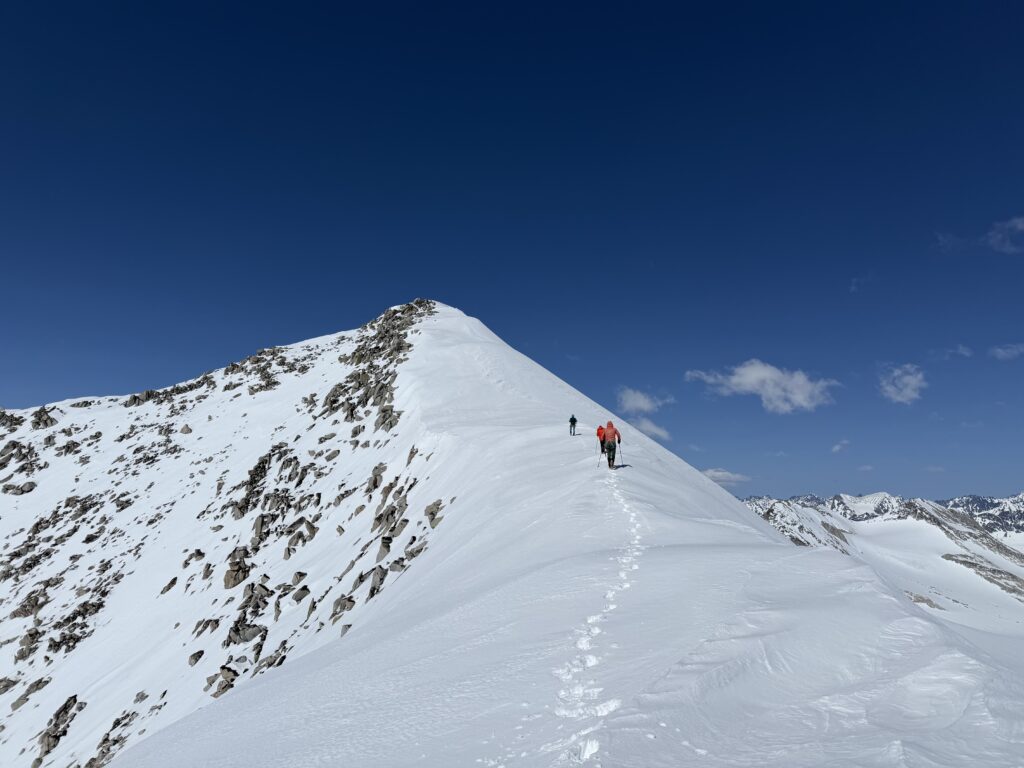
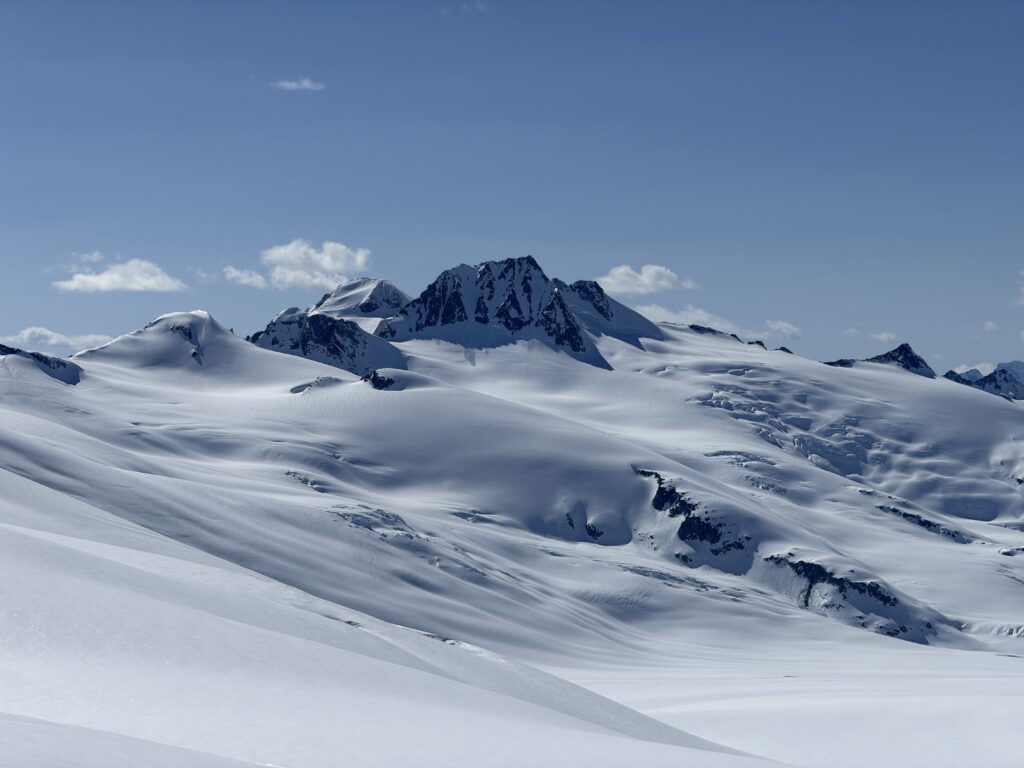
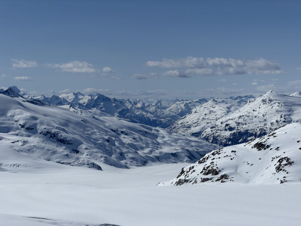
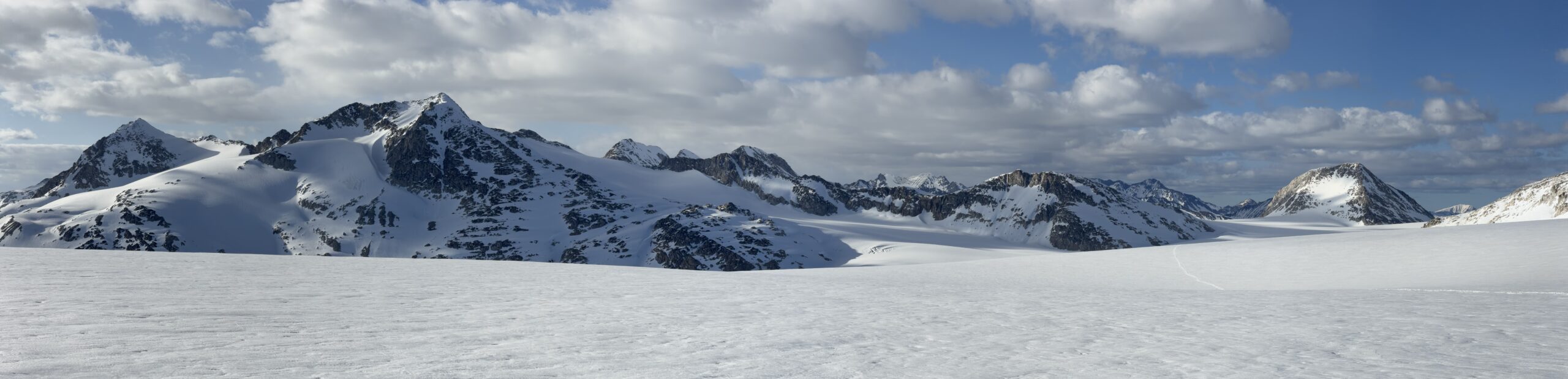
What a summit it was too! By and far my favourite views of the entire trip. While I loved the steep granitic U-Valleys around the Toba River, the Chilcotin style terrain has always been some of my favourite. Here further onto the icefield the peaks rose gently out of the capacious glaciated terrain. To the North we had a very nice look at Mount Raleigh, Mount Good Hope and we were within touching distance of Monmouth Mountain. To the South the icefield stretched out all the way to the Bridge River valley where some of my favourite summits reside.
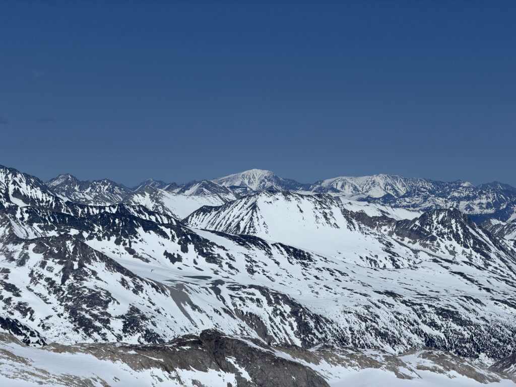
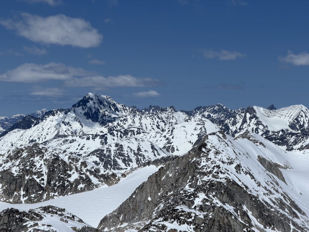
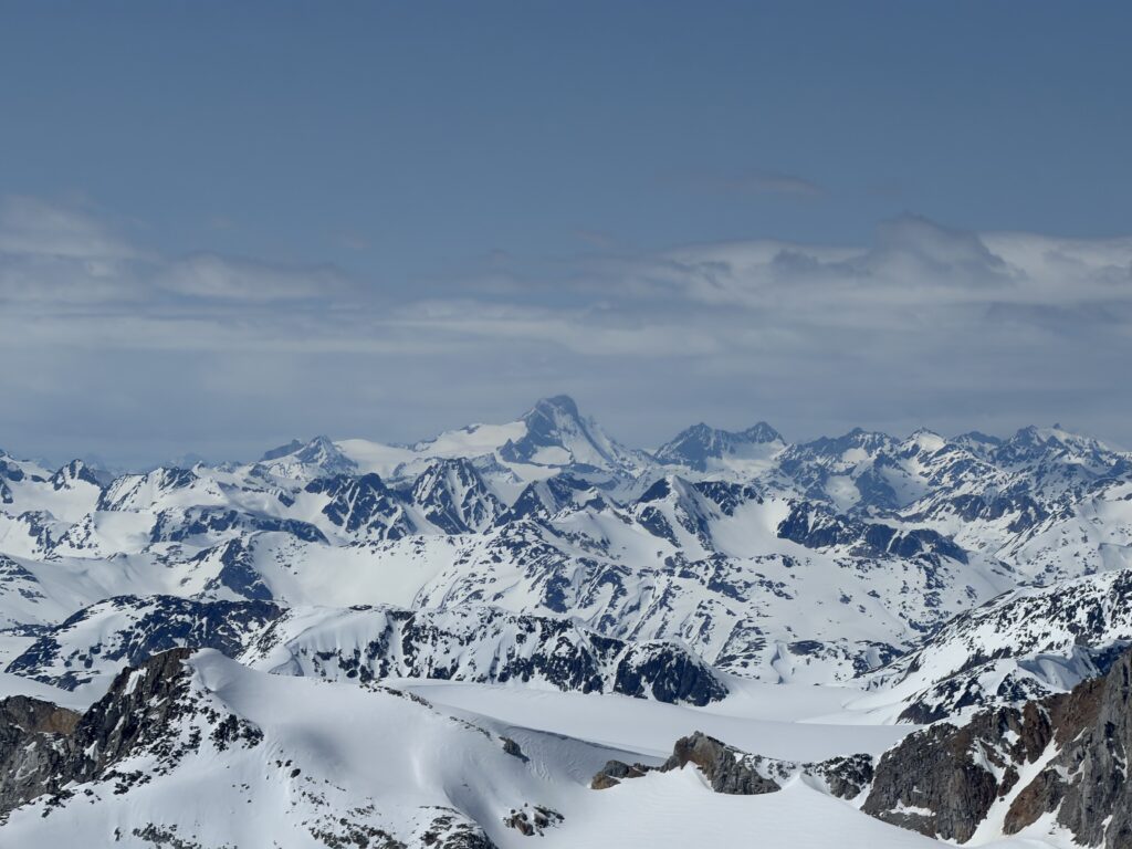
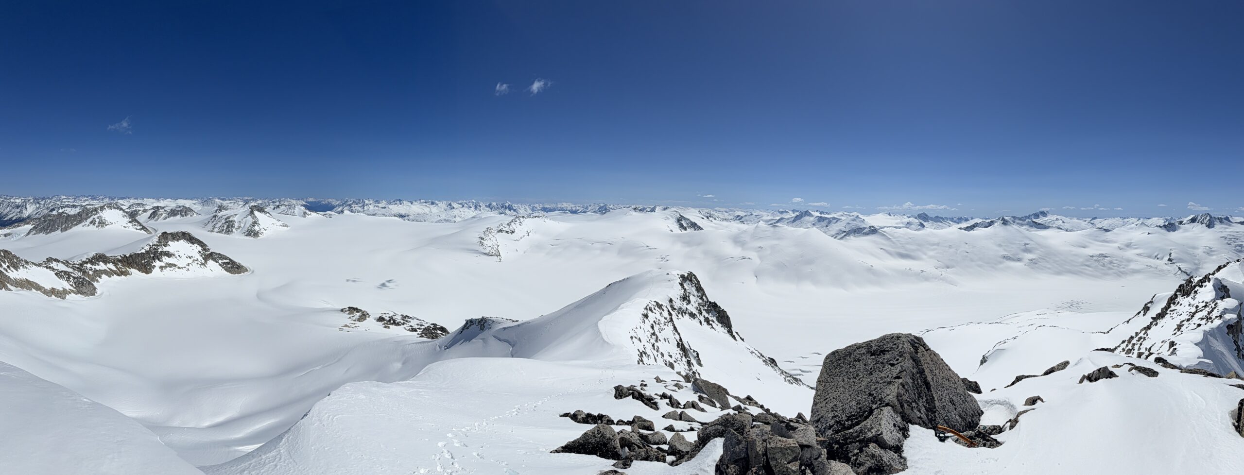
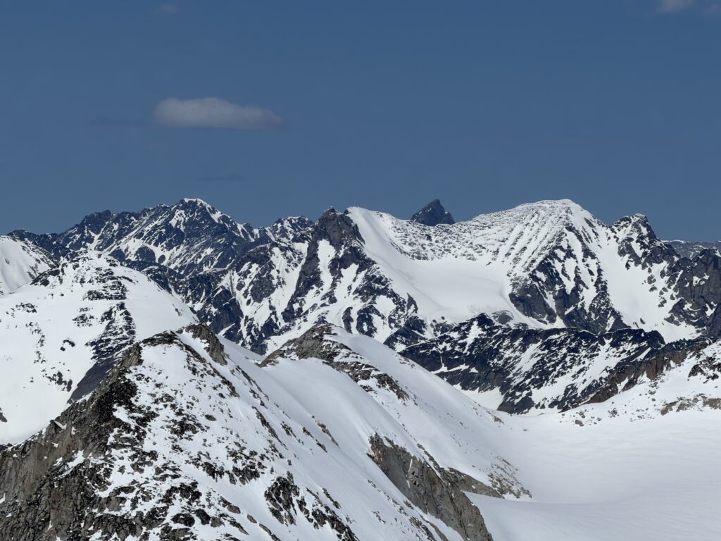
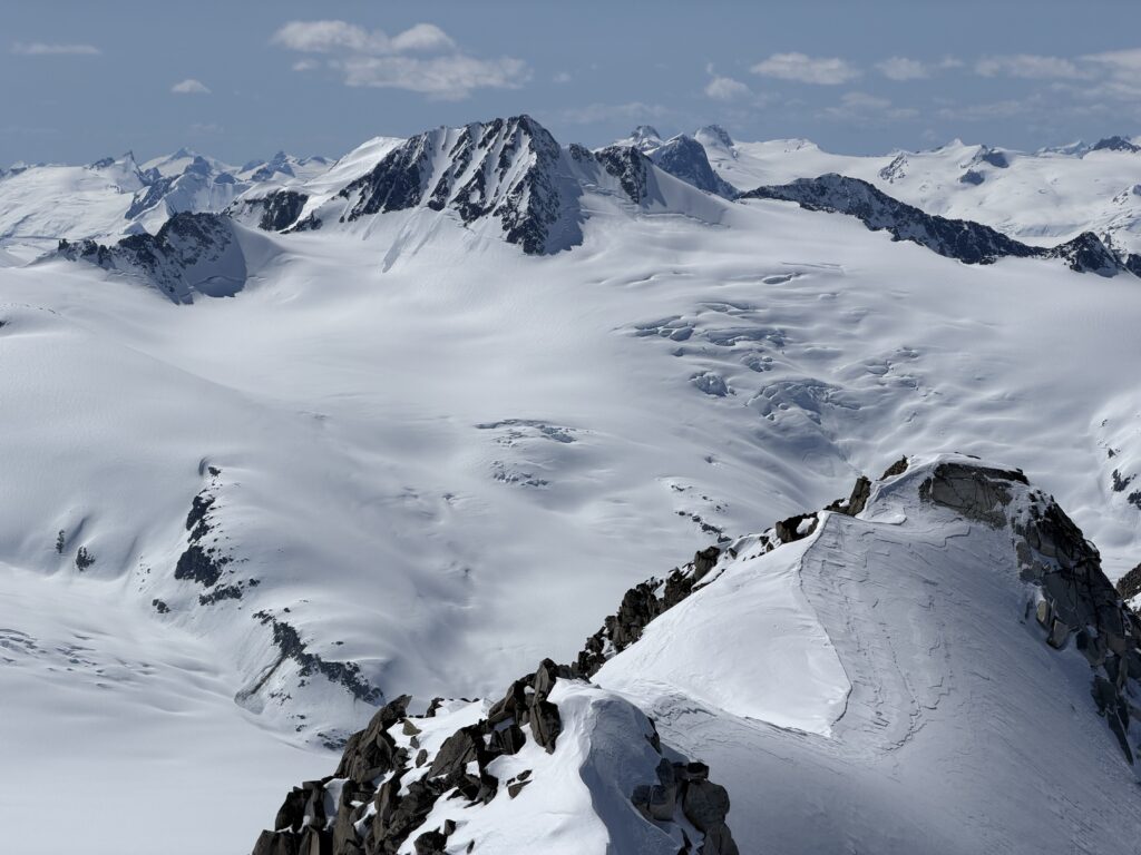
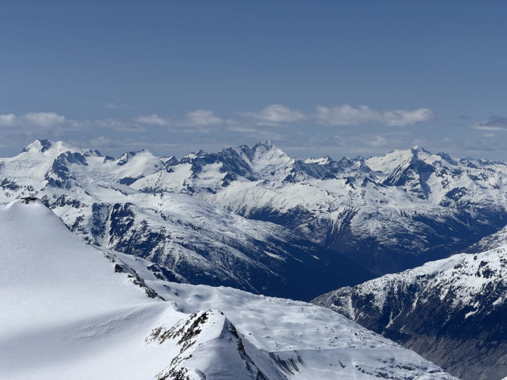
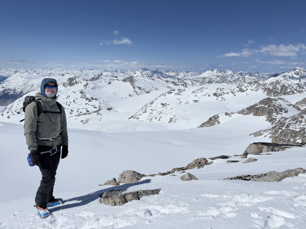
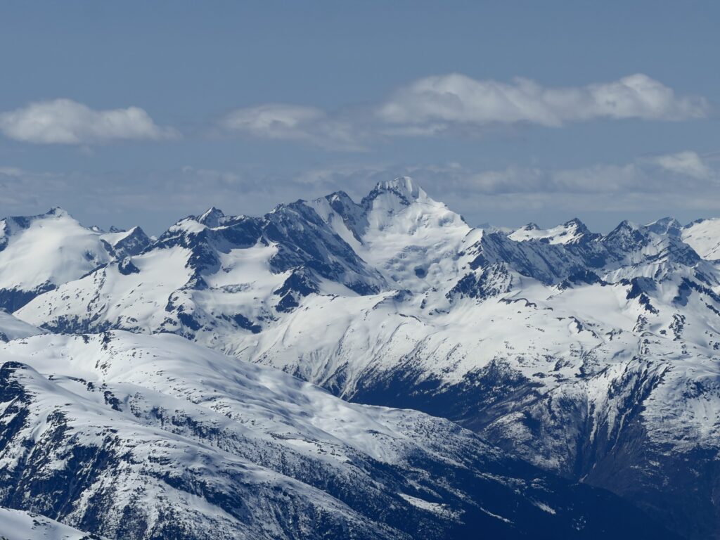
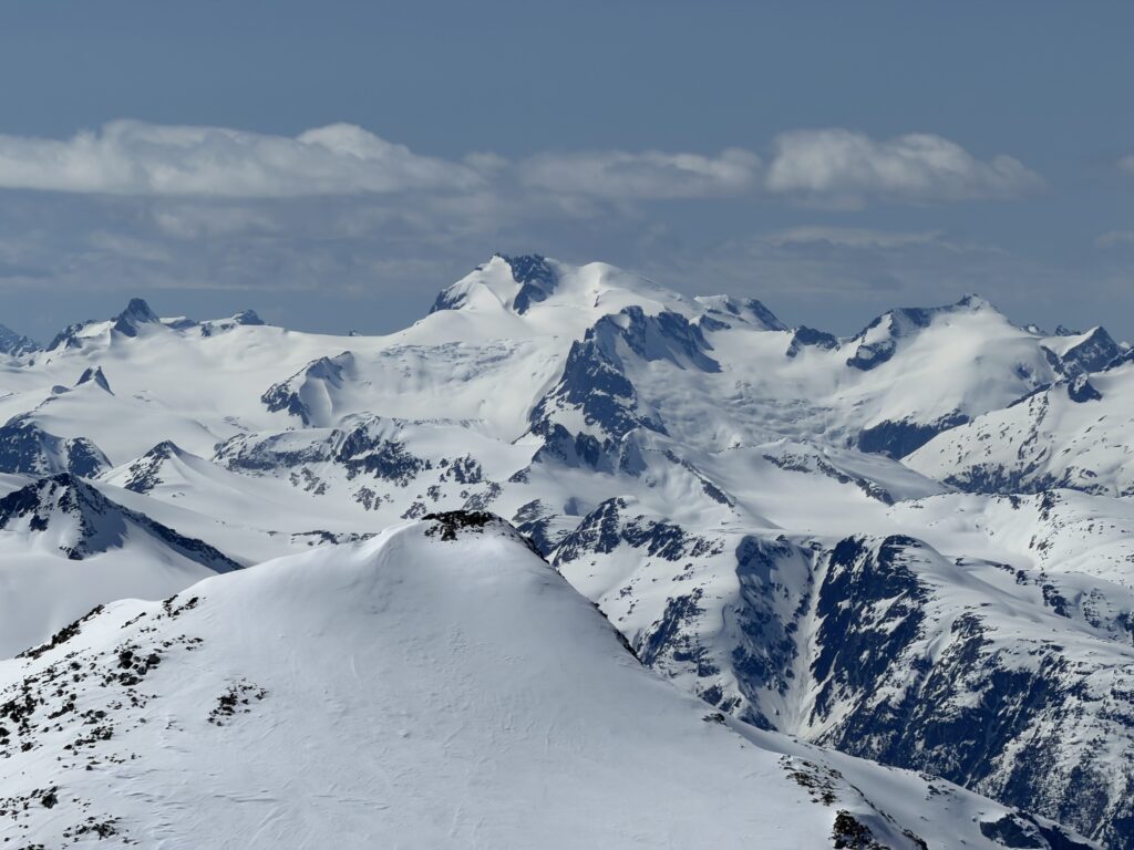
We had a fair bit of time to spare, so we used it to the fullest extent to absorb the surroundings and if not for the colder temps I could have spent all day up there. Alas, we had to get going and once the steep section was dispatched with, we parted ways. I had a few corn turns on skis and then a free gravity propelled traverse all the way back to the steep roll below camp. I slogged back up the crusty snow on the other side and then got to work making a camp site. The others joined up not long after.
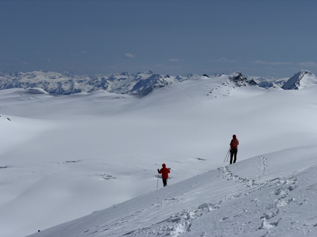
Tomorrow would be our final day and a chance to climb Stanley Peak and Bridge Peak.