Elevation Gain: 1,519m
Distance: 16.36km
Total Time: 7 hours 56 minutes
Date: August 4th, 2025
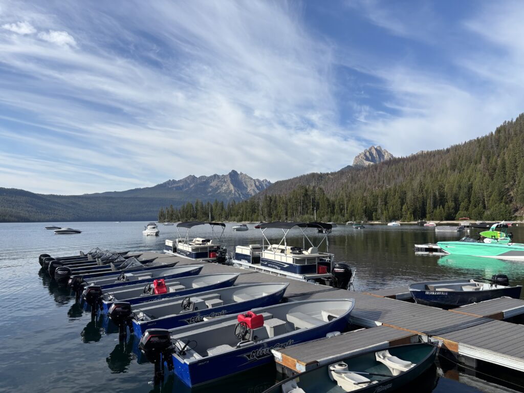
Brayden and I were headed eastbound in an effort to escape a large weather system crashing into the coast on our 10 day trip. We had successfully climbed up Mount Stuart and had now searched far and wide for the next weather window. That window would appear deep into Idaho in a range that I had never heard of: The Sawtooths. What information I did start to find, certainly opened my mind. An eponymous range, located north east of Boise with a long history of alpine climbing. Two summits stood out in particular. The Elephants Perch, a huge granitic face that is one of Idaho’s most popular climbing walls and Warbonnet Peak; a unique technical climb in the heart of the Sawtooths. We were both dead set on making this happen so we drove the 12+ hours from Washington to get there and pulled into the Redfish Lake camping area late at night. The approach from this side is somewhat unique, at least to us, because you can pay $24 for a round trip boat ride across Redfish Lake and skip an ~10km approach on trails around the lake.
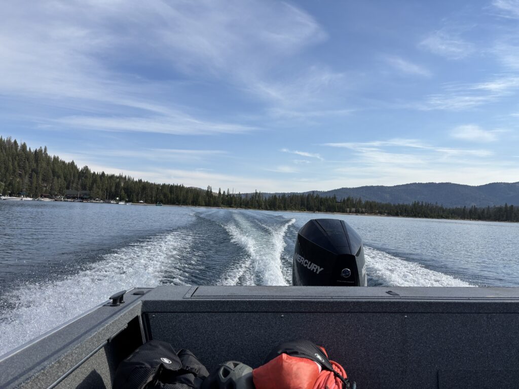
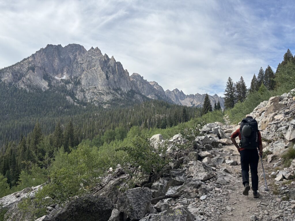
We certainly weren’t going to miss out on the chance for a cool boat ride, so the next morning we headed straight for the docks and caught the second boat across. At the trail entrance we filled out a trail registration form, while a camo laden hiker armed with a glock waited patiently to fill out his own form. What they’d need the glock for escaped me, but that’s the US for you. After that, we were on our way following yet another highway of a trail through the US ranges. Despite our gusto, we weren’t actually settled on a direction yet. To our left stood The Elephant’s Perch which was quite close to the trail start, meanwhile Warbonnet was nestled deeper in the range and would require a full days approach. After some back and forth we settled on Warbonnet first and to head up Elephant’s Perch on the way out. So, away we went!
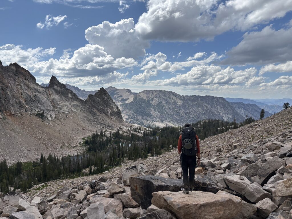
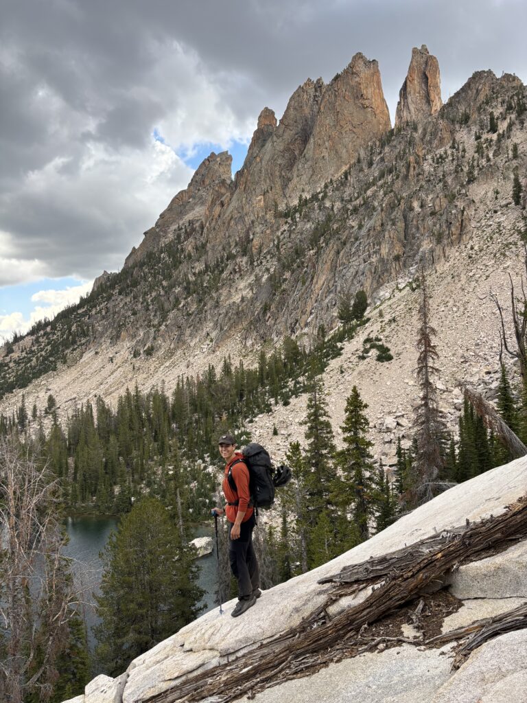
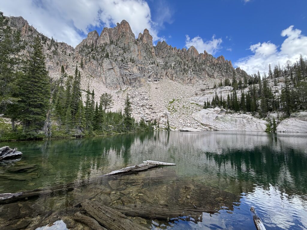
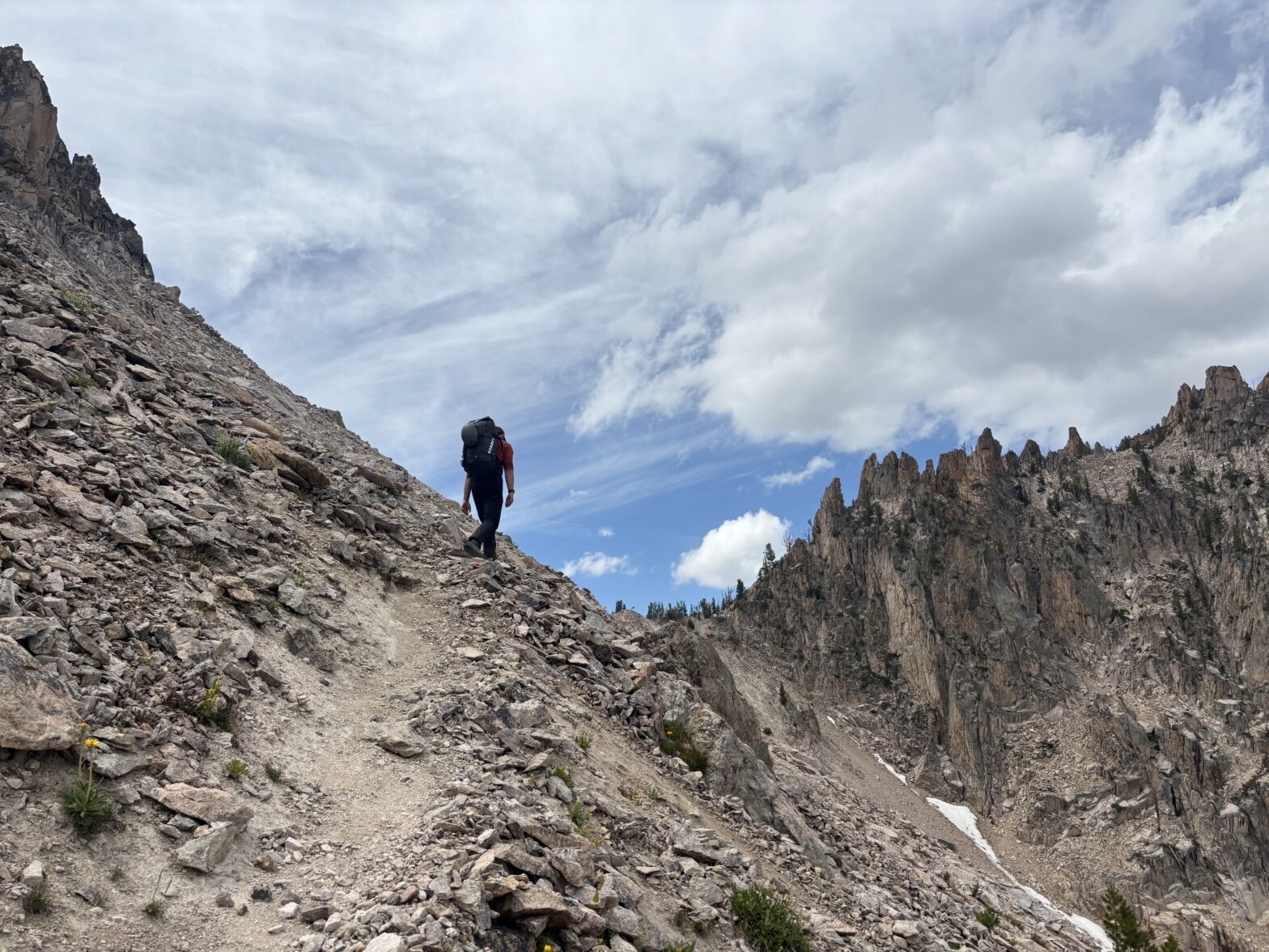
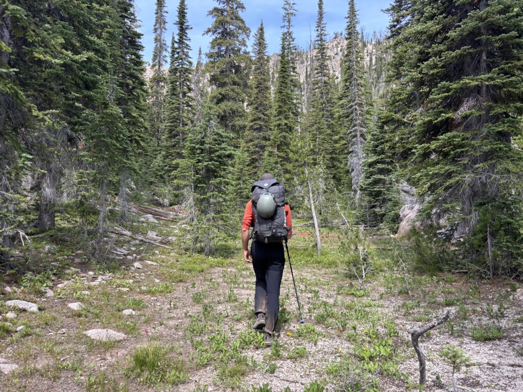
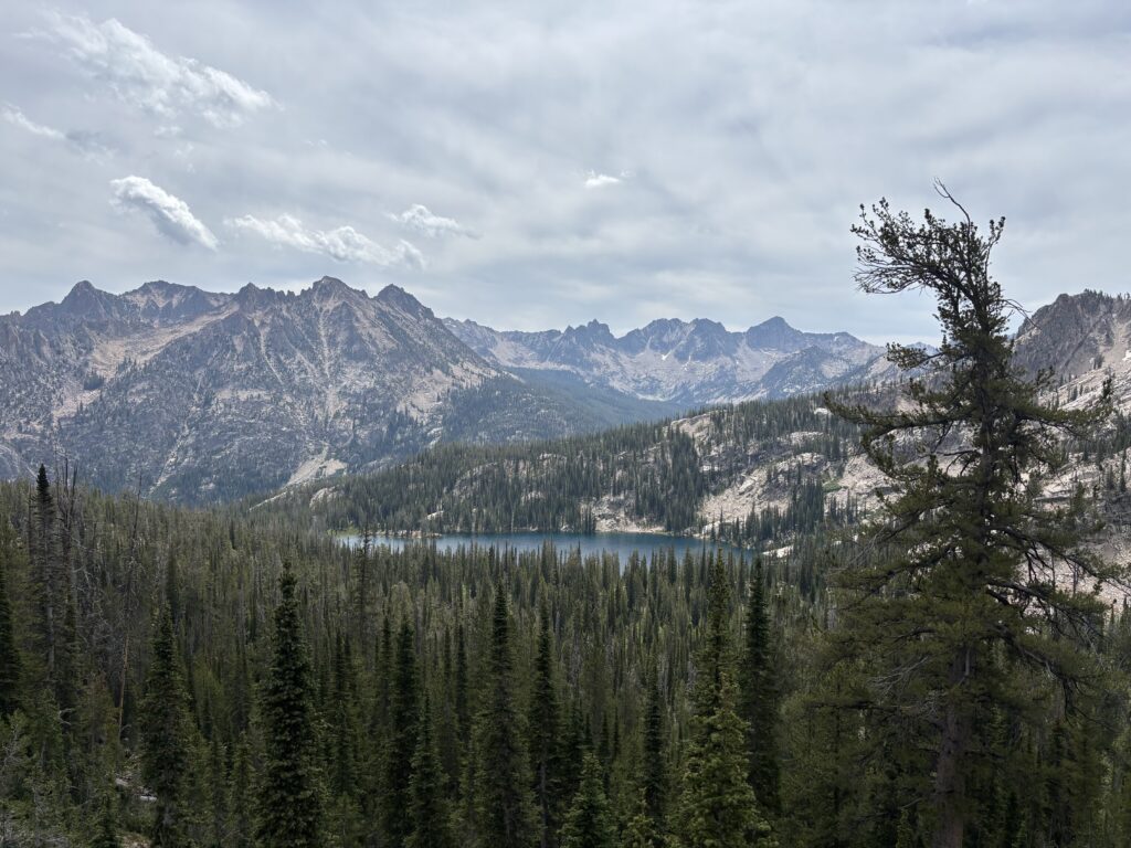
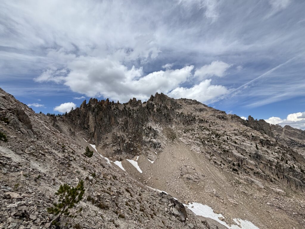
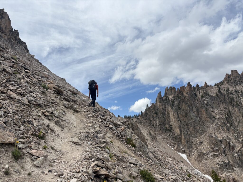
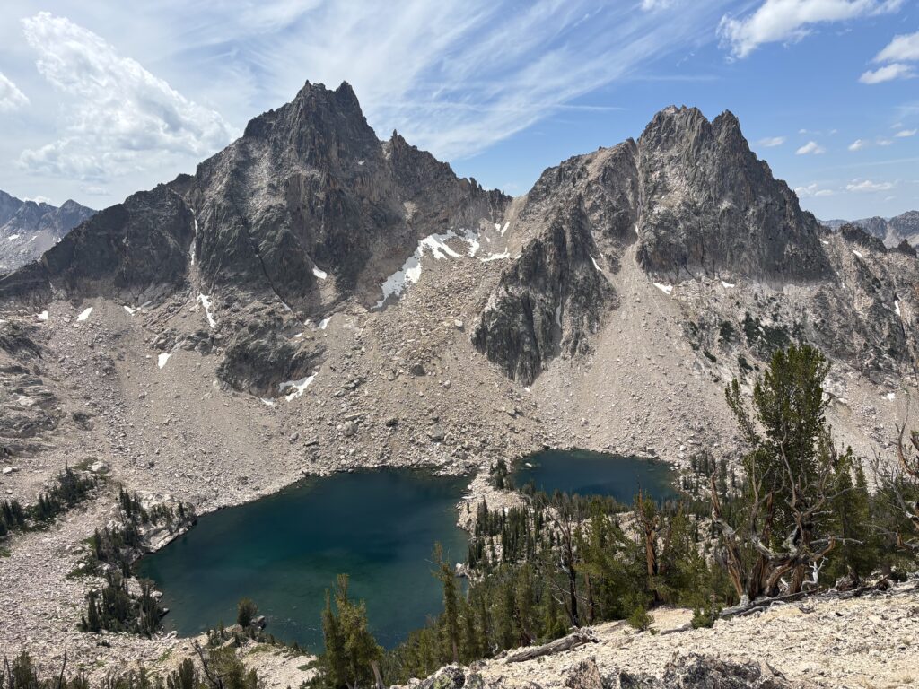
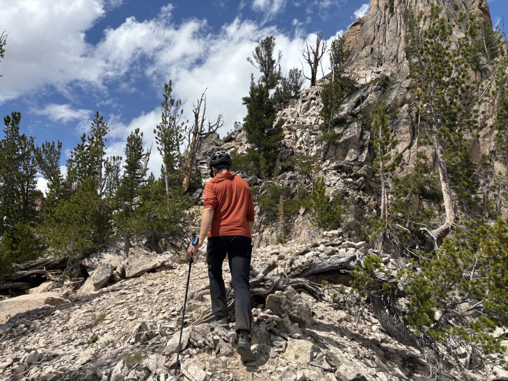
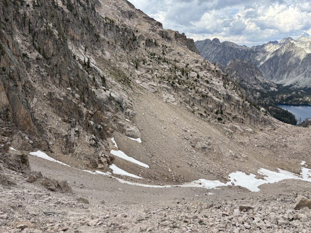
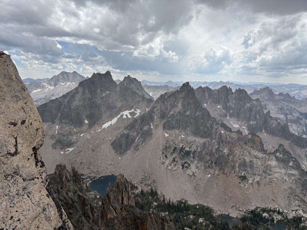
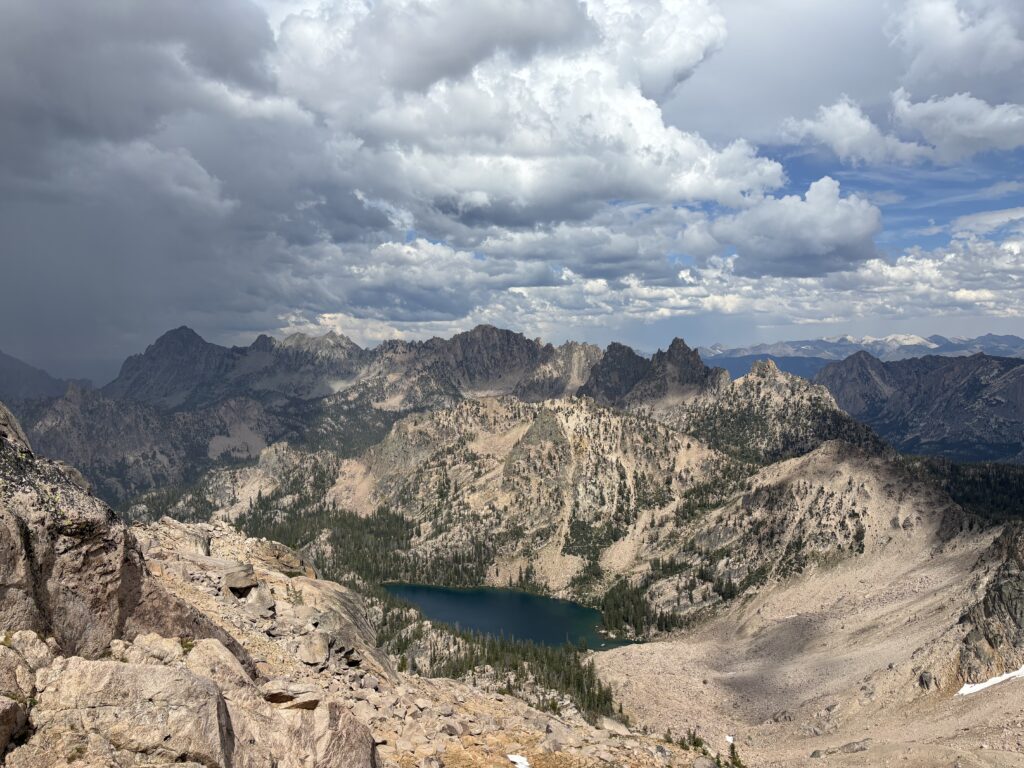
Brayden lead a blistering pace and we reached “Alpine Lake”, in great time where we broke off from the well worn trail into the forest. There’s a rough climbers trail here to the Warbonnet area, but we had a hard time finding it. In any event, it’s easy off trail terrain with no bushwhacking to speak of. We found an amenable line all the way to the first pass above Alpine Lake. Ahead of us we had views of Monte Verita which looked pretty reasonable to ascend. With a fair bit of time remaining in the day, we decided to make a go for it. From our first pass, we traversed across the north side of “Old Monte Verita”, really more of a bump, to the pass/col between Old Monte Verita and Monte Verita.
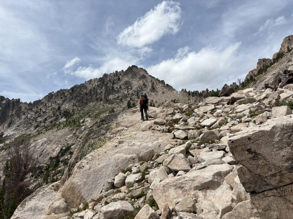
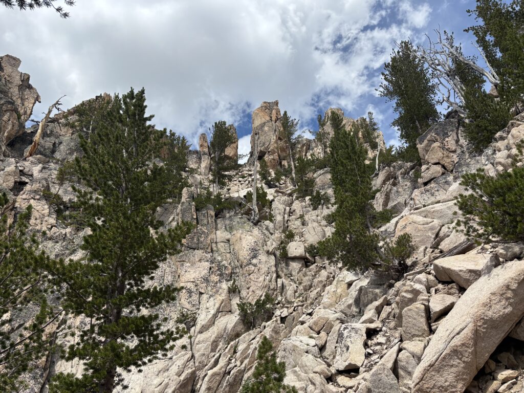
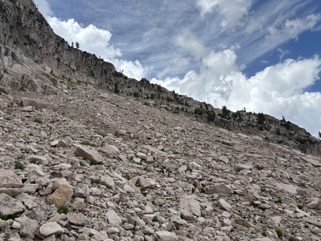
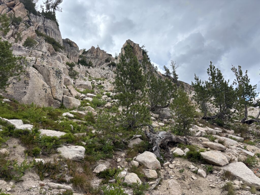
We ditched our gear and ran up Old Monte Verita and then returned to start up the south east ridge of Monte Verita. We generally stuck to the west side of the ridge before finding a weakness and traversed up and over. Unfortunately, we got cliffed out and despite several attempts found no reasonable route around. At this point we decided to turn back to the pass where I convinced Brayden to make one more attempt around the eastern aspect. This aspect had always looked the easiest but it necessitated losing a fair bit of elevation to reach it.
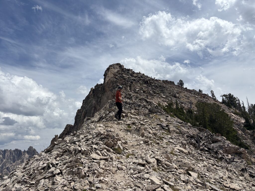
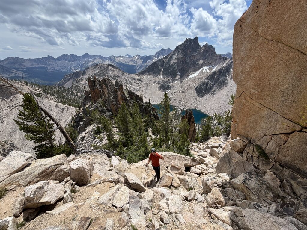
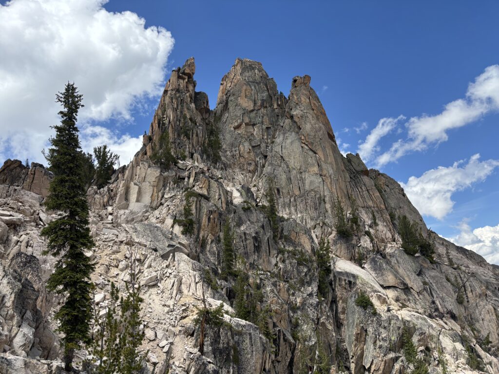
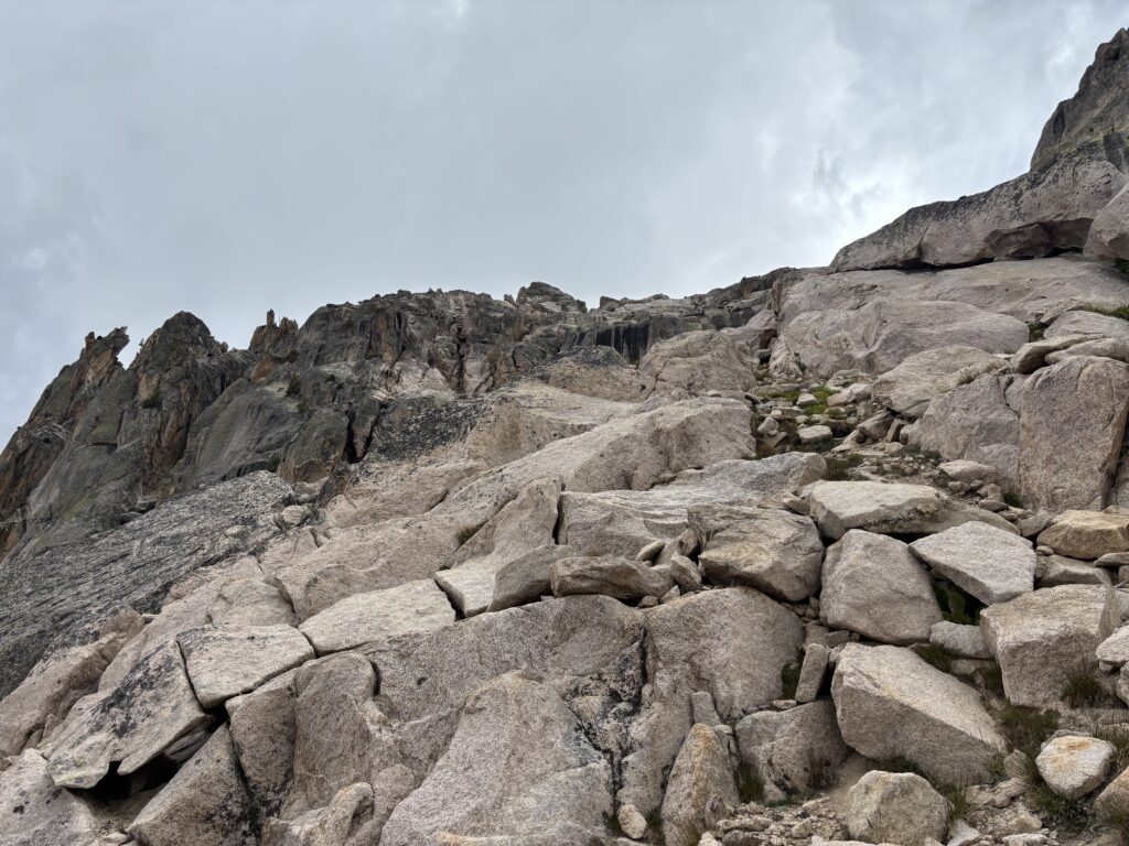
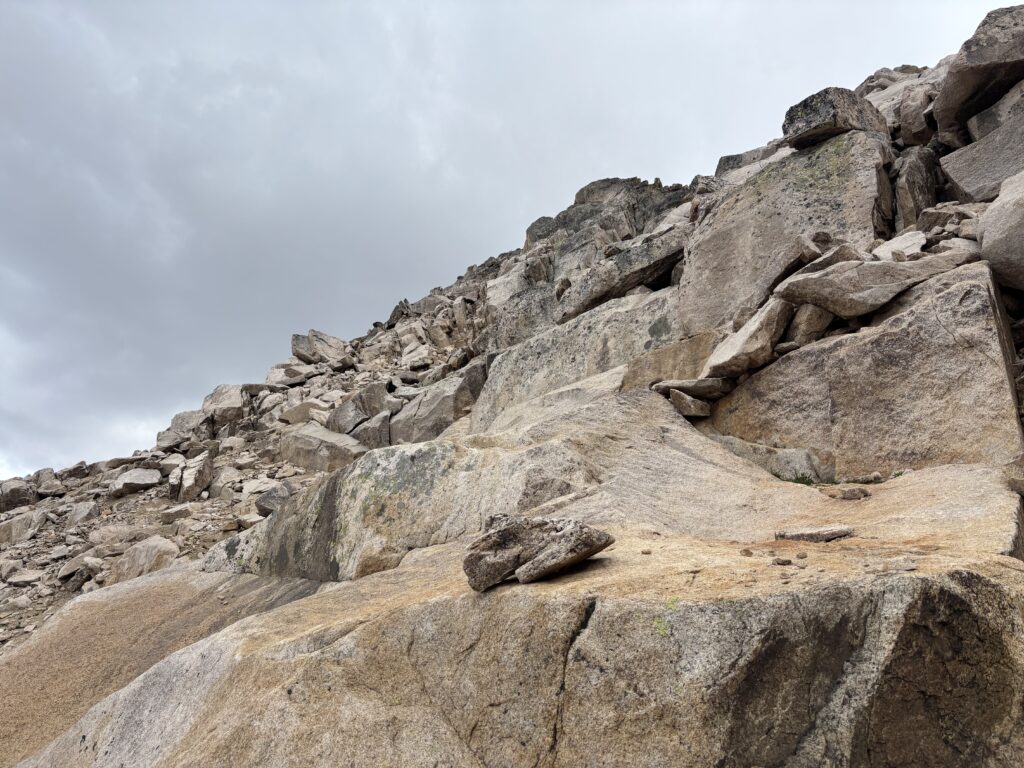
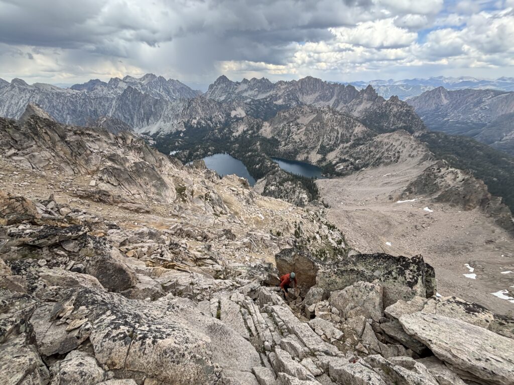
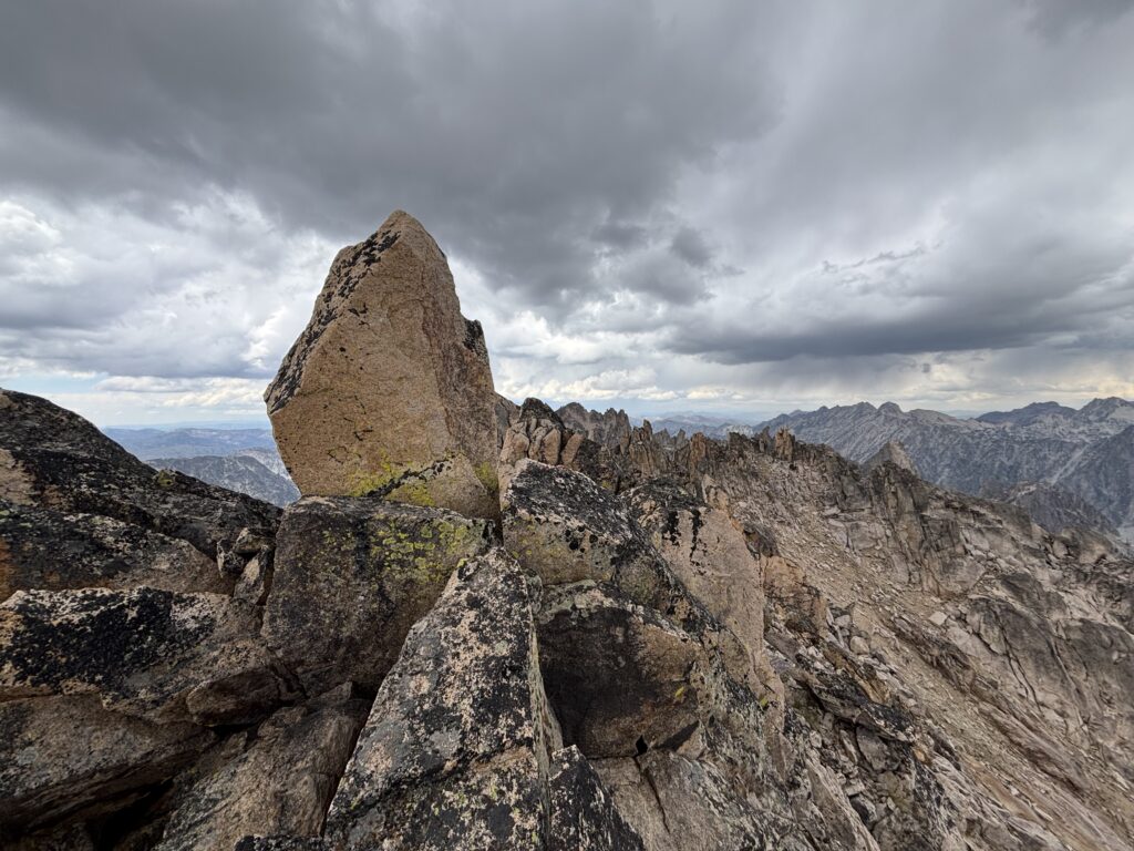
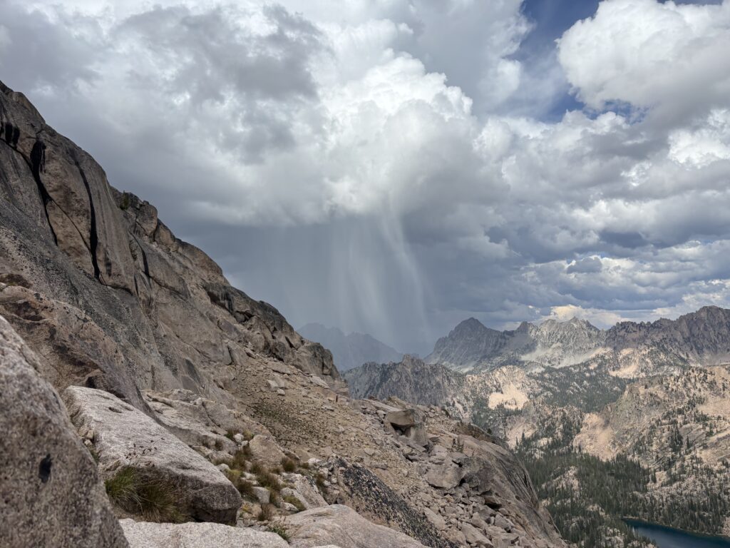
Oh well, off we went dropping from the pass and then back up talus and scree slopes. We traversed up to a gully and then scrambled up and out onto broad slabs on the upper east face. The weather was suddenly looking ominous and clouds were closing in quick. We picked up the pace and moved through largely 2nd class terrain to the final summit. A small little boulder marked the top. 5 minutes later, we found ourselves in a small dump of hail while the clouds thundered around us. That was our cue to leave and leave we did. Thankfully the terrain was not too challenging and we escaped to the sanctuary of lower elevation.
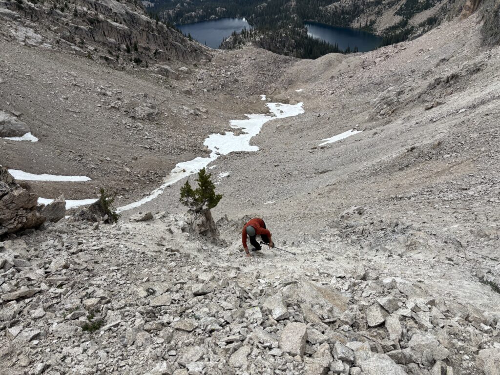
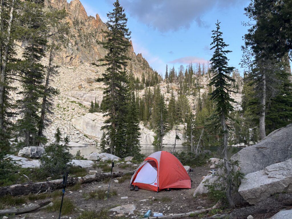
By the time we reached the pass, the storm had moved on and we pressed on to Bead Lakes where we setup camp for our attempt of Warbonnet the next day.