Elevation Gain: 1,511m
Distance: 15.25km
Total Time: 8 hours 16 minutes
Date: September 1st, 2025
After seeing a road report up the “Swift Creek Mine Road” (a.k.a Gray Rock Mine Road) on Bivouac, I was immediately enticed to check the area out. This road is located on the western side of the Bendor range and allows one to drive to about 2,000m into the alpine. Located just above this road is an unofficially named summit called Stamp Peak. While Stamp on its own looked quite interesting, what really caught my eye was the long running ridge line that could take one from Stamp all the way to Mount Truax. I’ve long wanted to hike up Truax as I’ve seen it from all over the Bridge River area. It’s a rather unique looking summit with an indomitable North face.
Most people approach Truax from Fergusson creek where a different old mining road gives way to the alpine. Unlike Gray Rock Mine Road though, it’s only accessible to ATVs, dirt bikes or on foot. The idea of starting from the alpine and staying on a ridge for the entire day sounded too appealing to miss.
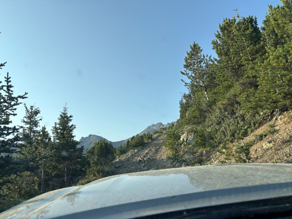
I’d finally make use of this approach idea on the August long weekend, when Andrea and I found some reasonable weather out towards Bridge River. She had wanted to do Truax as well, so this was an easy sell. To break up a long day of driving we decided to travel in the day before, camp over night and have the rest of the day to do our traverse. We didn’t hit the Hurley until evening and by the time I pulled into Gold Bridge it was well and truly dark. Just beyond Gold Bridge was the start of the Gray Rock Mine Road and I was a bit anxious to see what we were in for. The road report that pulled us out here in the first place mentioned very steep switch backs, but doable in an SUV.
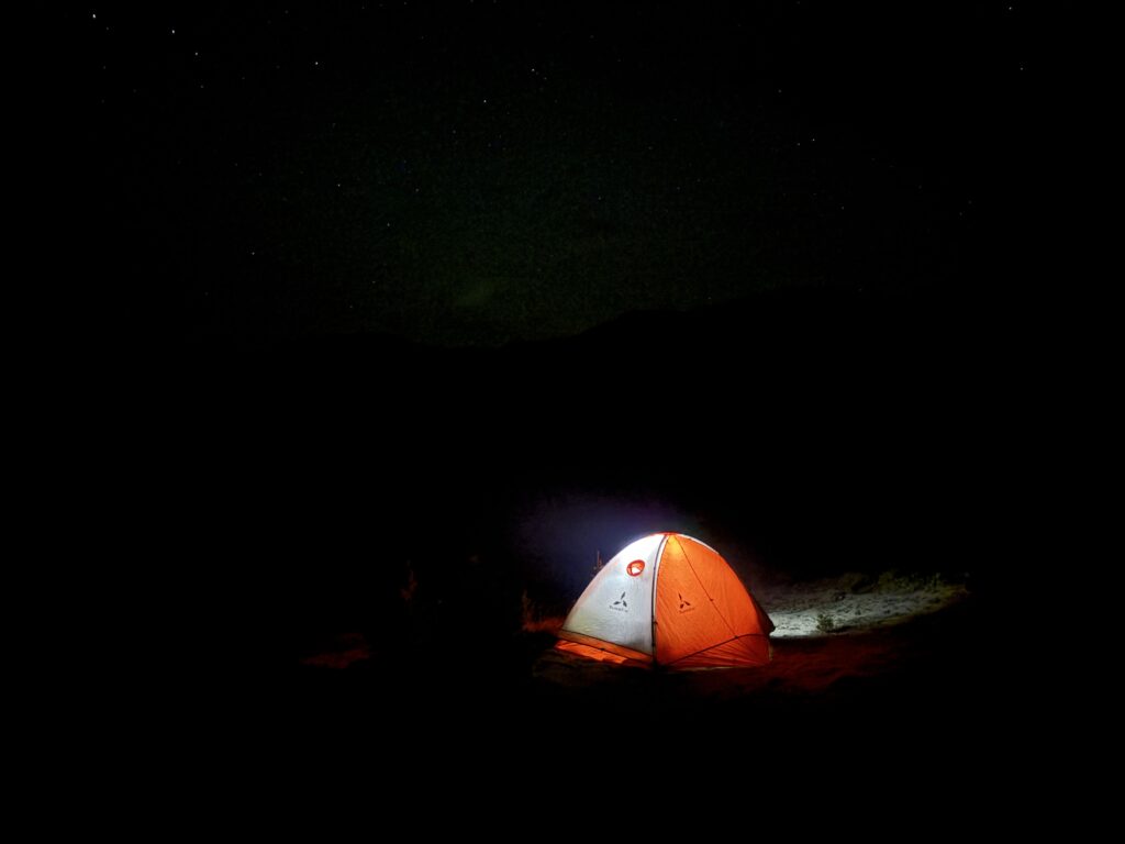
Sure enough to the 1300m mark the road was in good shape thanks to some exploration drilling work nearby. After that, the road grew noticeably bushier, rutted out and challenging. It didn’t help that it was dark and there were limited turn around spots. With some relief we pulled out into the alpine around 1900m and continue up a ways until finding a nice pull out and camping spot. We setup the tent for the night and promptly passed out.
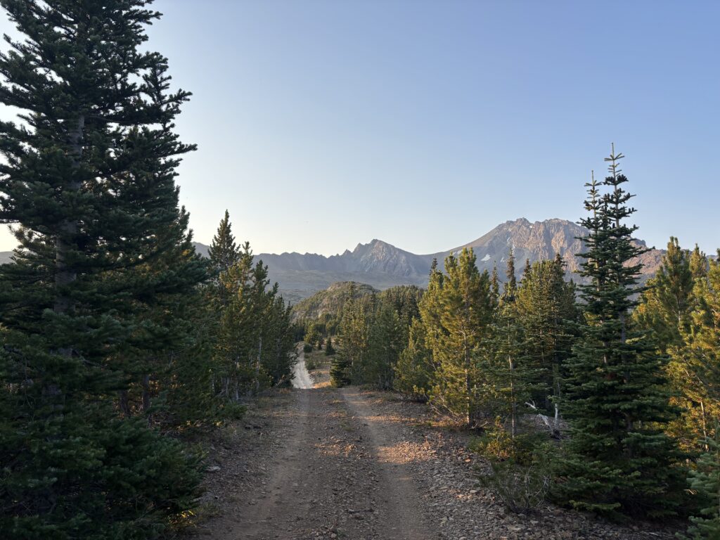
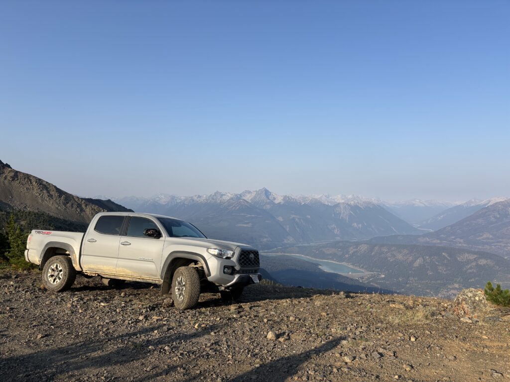
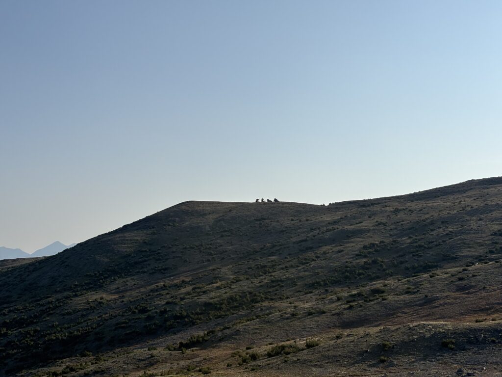
The next morning, we cooked some breakfast, packed up and opted to drive a little further down the road. It was much less unnerving in the light and this section was straightforward anyhow. We stopped just before a dip and final hill to the top and parked for the day. Ahead of us, some hunters were spotting for animals and higher up on the hill a group of 4×4’ers were camped overnight; clearly a popular spot!
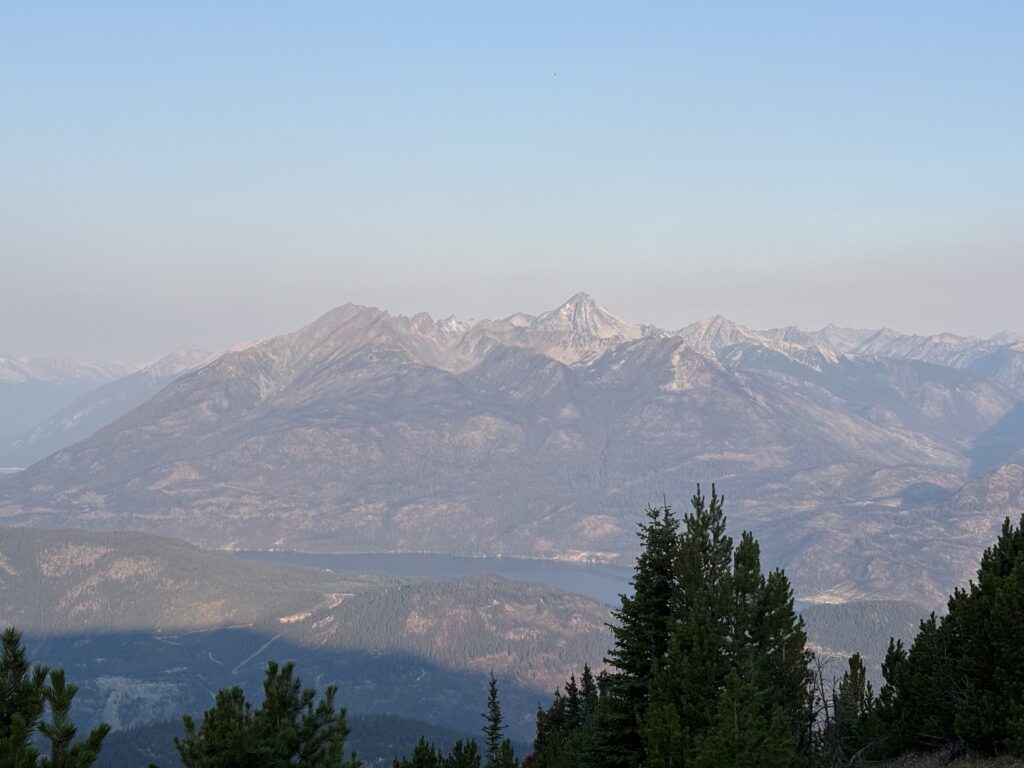

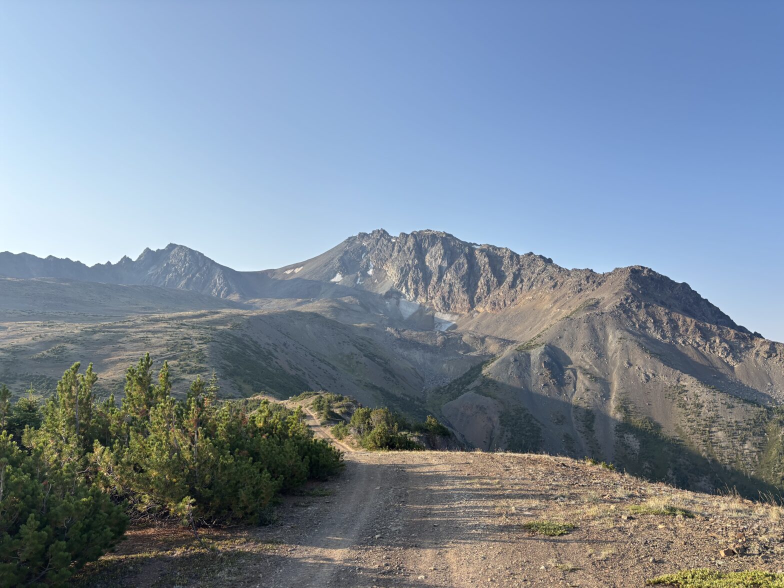
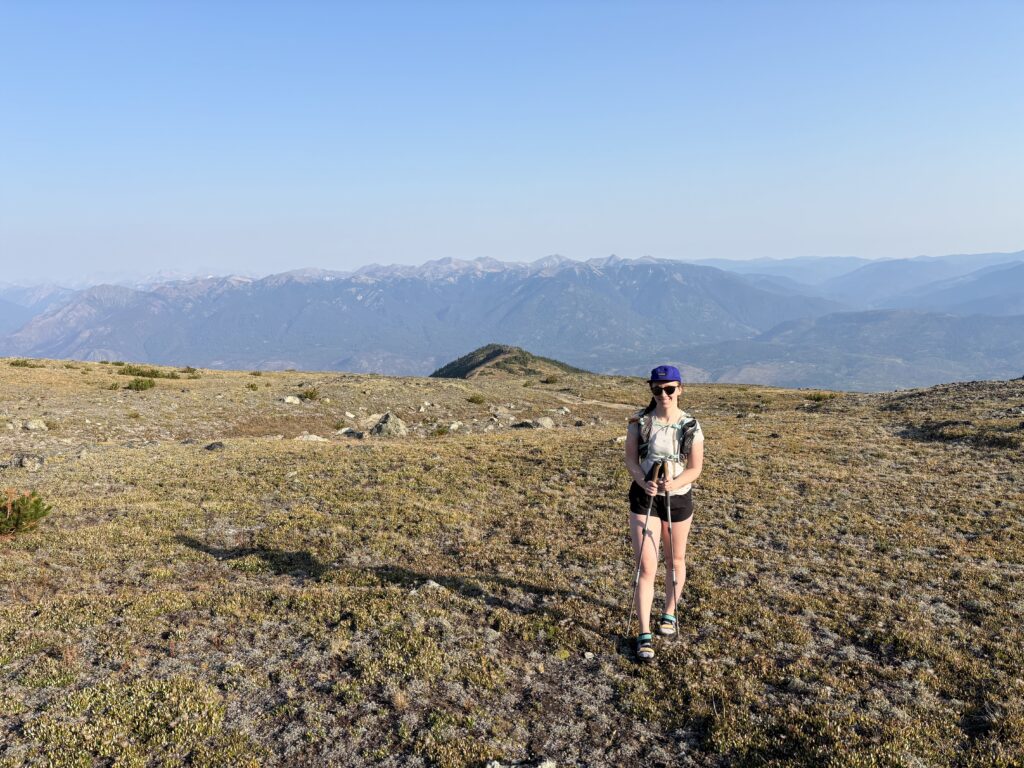
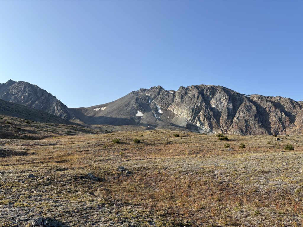
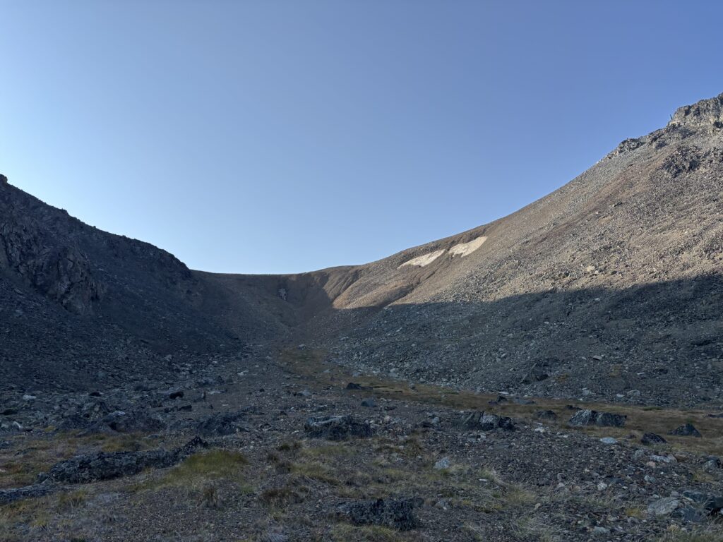
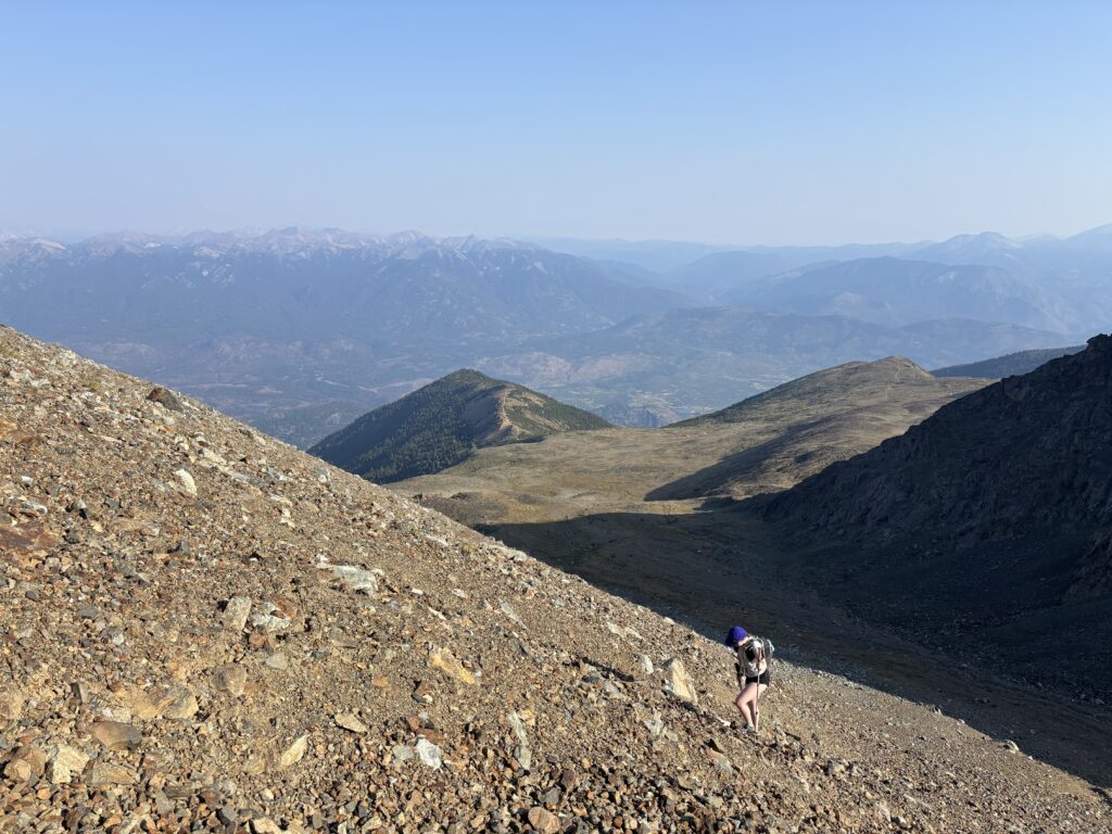
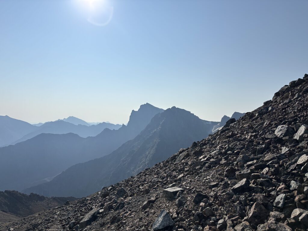
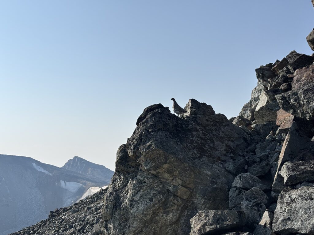
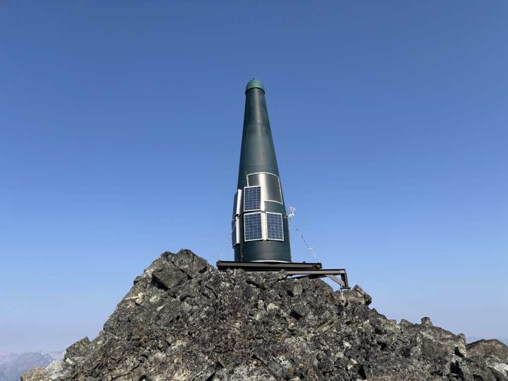
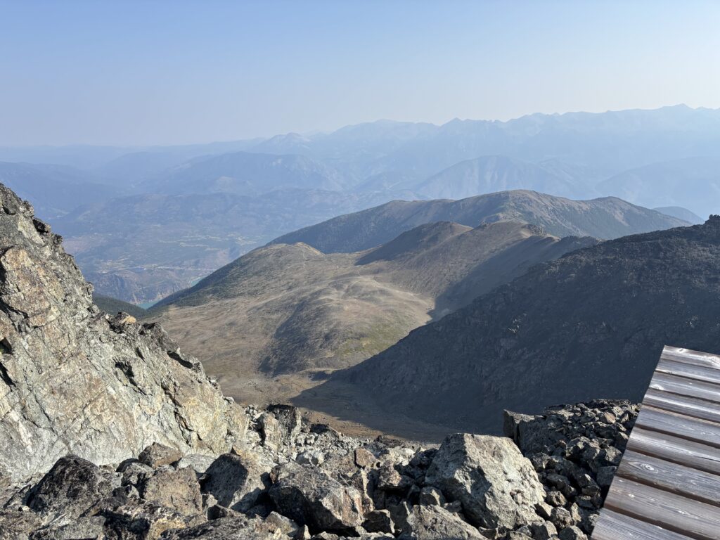
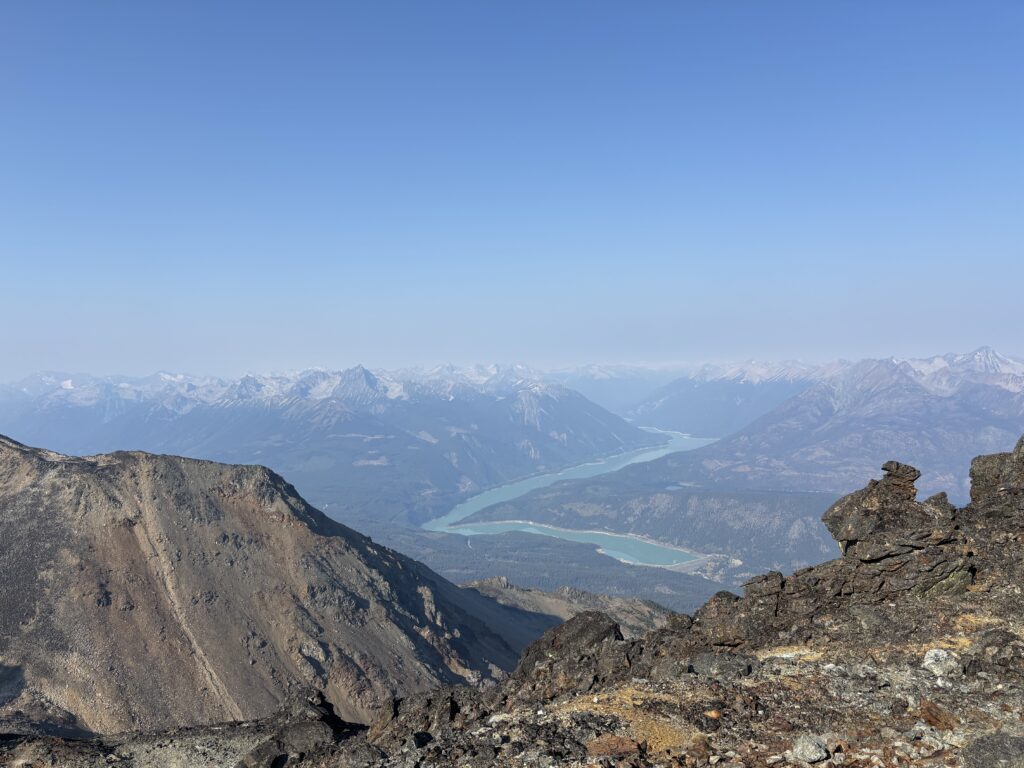
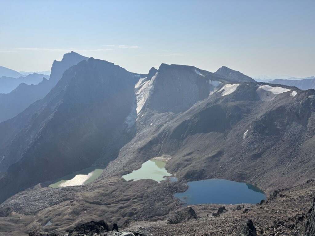
From our parking spot we hiked a ways through pleasant meadows into the large basin below Stamp Peak. The meadows gave way to 300m of talus and scree which required some tread milling to overcome. Once we gained the ridge crest it was a short walk to the summit where some garish radio repeaters waited for us. Repeaters aside, we had phenomenal views over the Bridge River and to the east we could see the eye-catching north face of Truax.
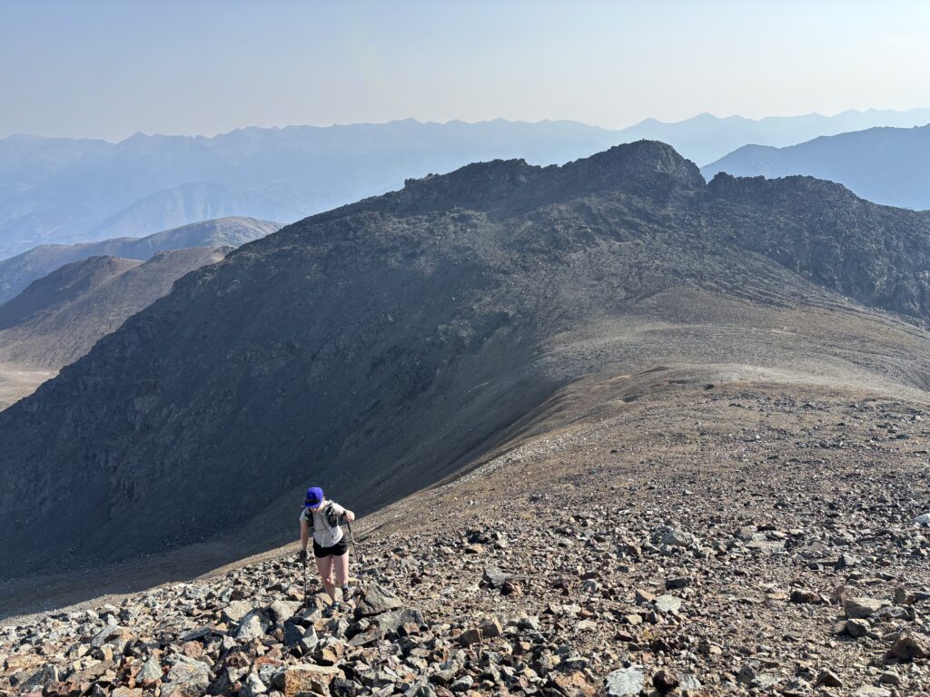
Under the glowing sun, we left the summit and embarked down the ridge for the main goal of the day.