Elevation Gain: 2,330m
Distance: 23.81km
Total Time: 1.5 days
Date: August 1st-2nd, 2025
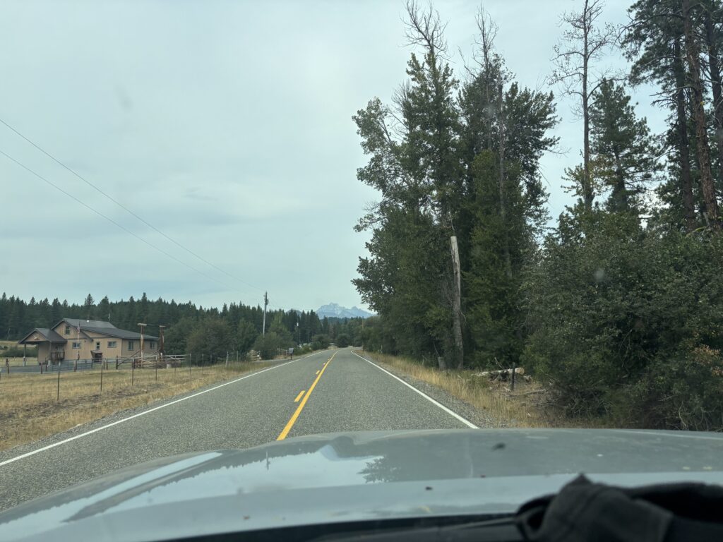
Brayden and I had long been planning a 10 day mountaineering and alpine climbing trip this summer. We had some ambitious plans around the Canadian Rockies and we were all but settled on objectives until the weather forecast came in. Once again, a remake of last years trans-Canadian foul weather. I had been avoid the states at all costs this year, but now the singular good forecast in our vicinity was in Washington. At the last minute we made the call to head south and drive back north as soon as weather allowed. Brayden was quick to throw out Mount Stuart North Ridge. It’s a well documented classic in the enchantments and boasts around 18 pitches on phenomenal granite. There’s a few ways to reach the base, but the least red tape appeared to be coming in from the Ingalls Lake side. It’s possible to do this car to car in one shot, but most accounts I read made it sound somewhat miserable. We decided early on, to have a leisurely drive down to the states and finish out the approach to the base of the route in the afternoon. We’d then have all of the next day to cruise up the ridge and avoid the cascadian couloir descent at night or after an already long day. Speaking of this couloir, it’s often touted as a bit of hellish descent and we weren’t sure what to expect, but we’d be pleasantly surprised later on.
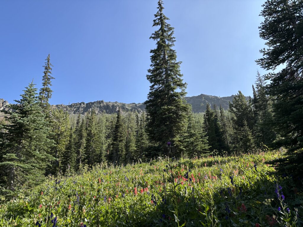
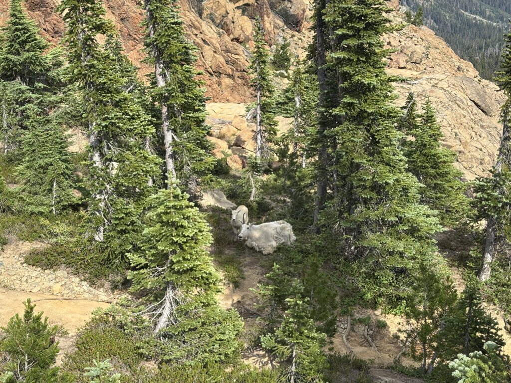
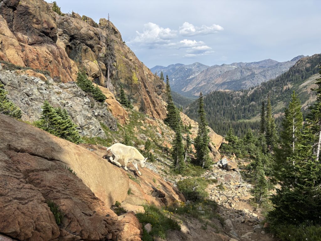
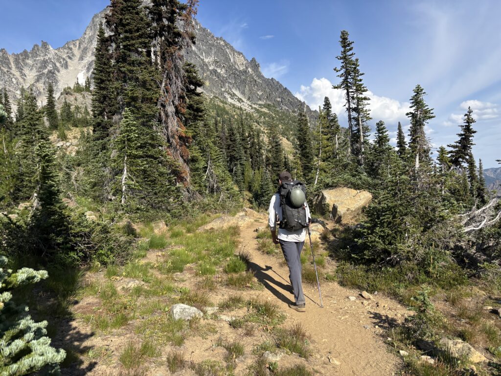
On August 1st we drove to the Ingalls Lake trail head and we were up and running by mid afternoon. I’ve come to know and love the well maintained nature of Washington’s trails and this one was no different. While the afternoon sun was nearing a stifling temperature, the easy grades allowed us to breeze our way up to Ingalls Lake. Here we were met with another of Washington’s main attractions: mountain goats! Their behaviour is a polar opposite of their skittish cousins in BC. We nearly stumbled into one while observing a different pair and they weren’t bothered in the slightest.
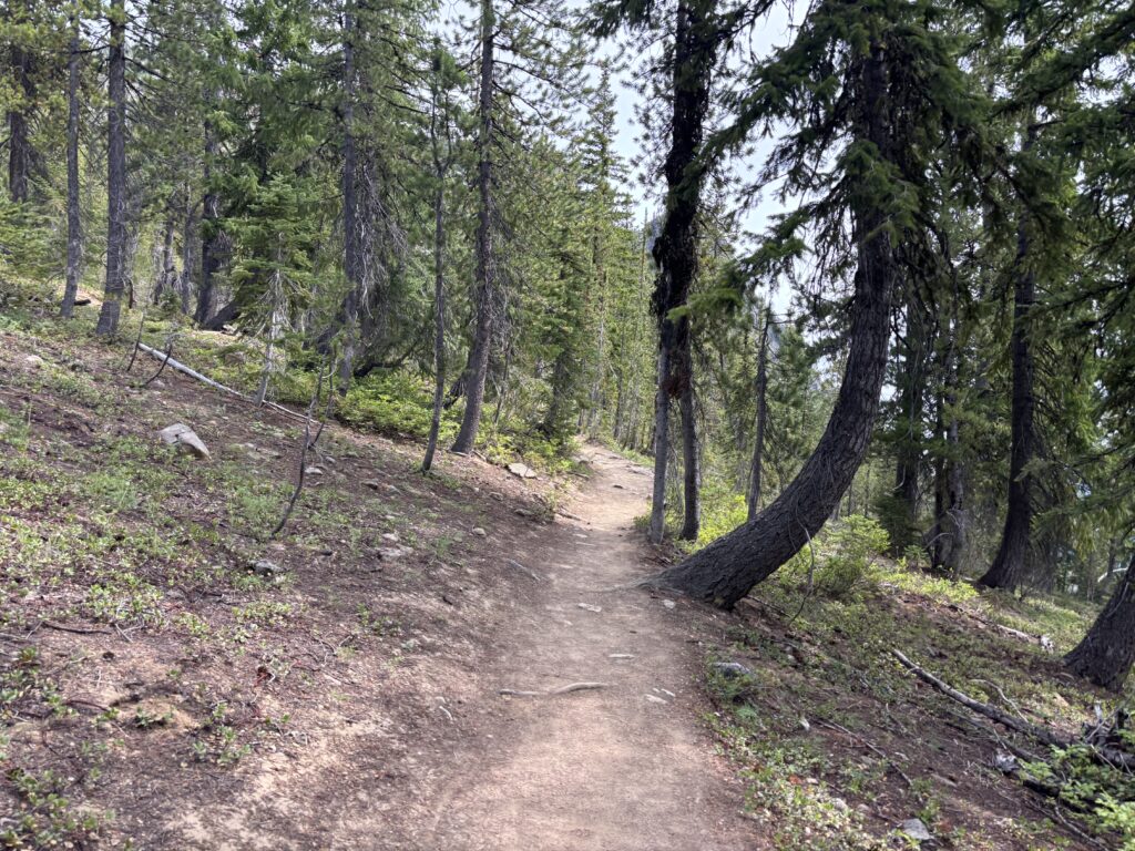
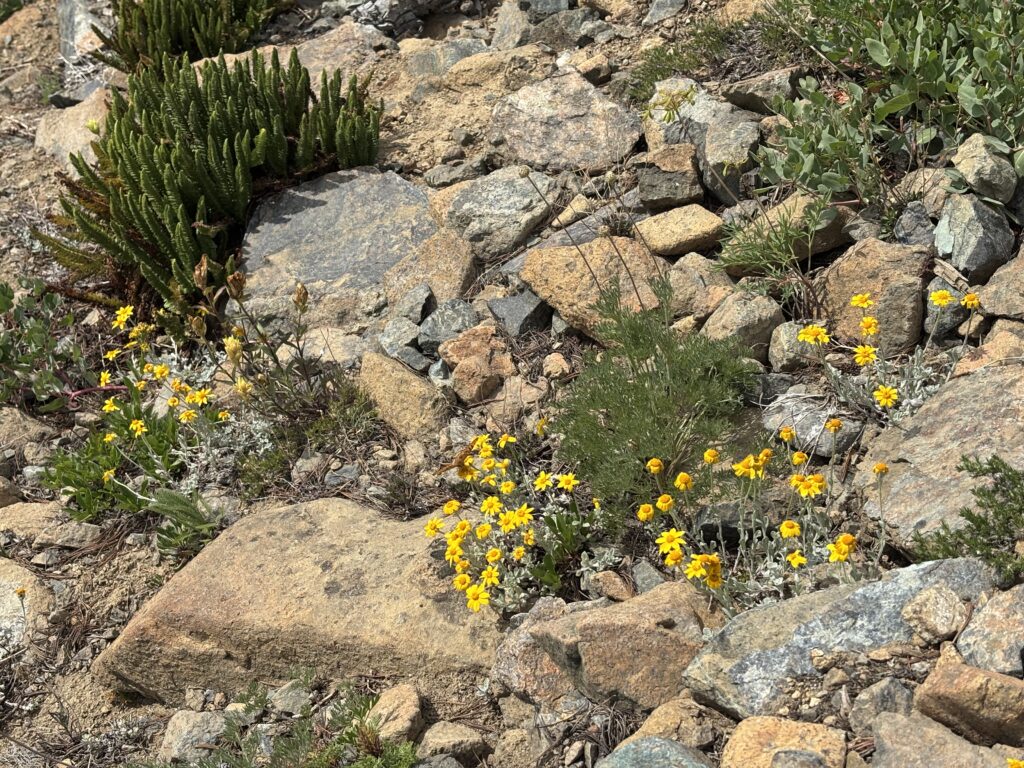
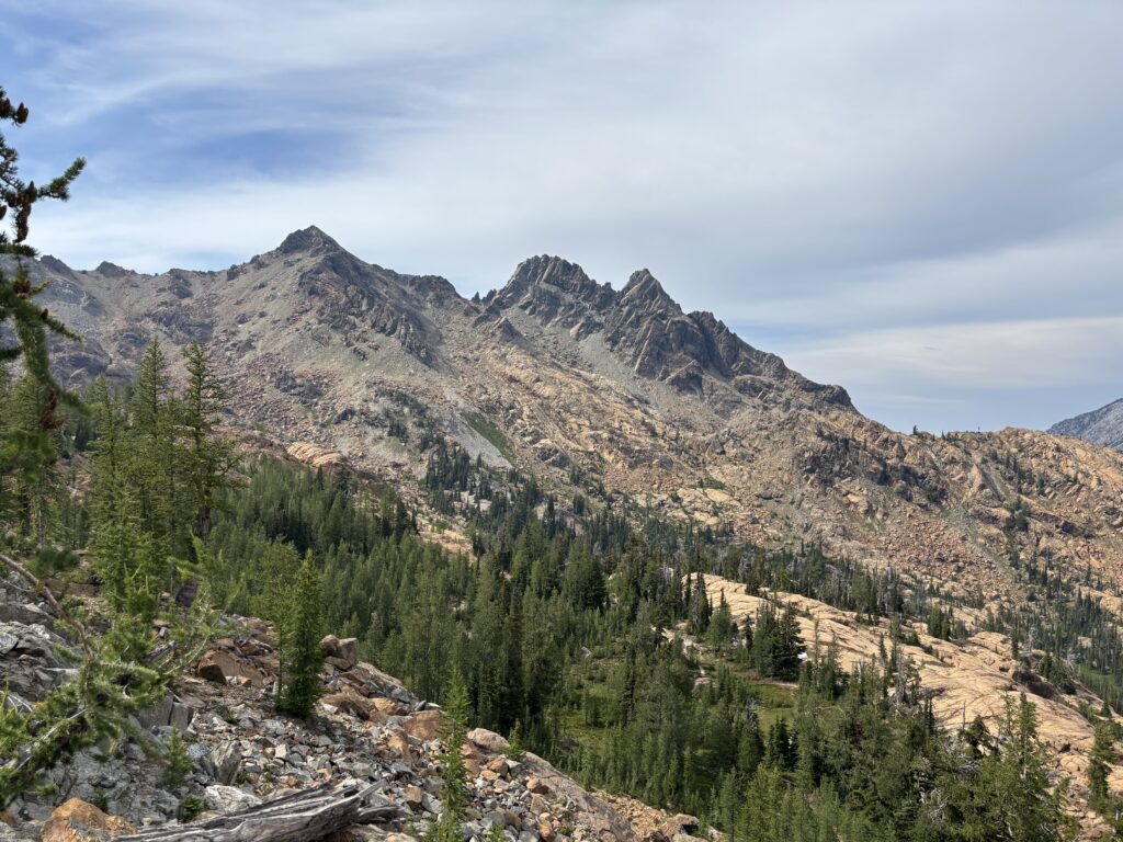
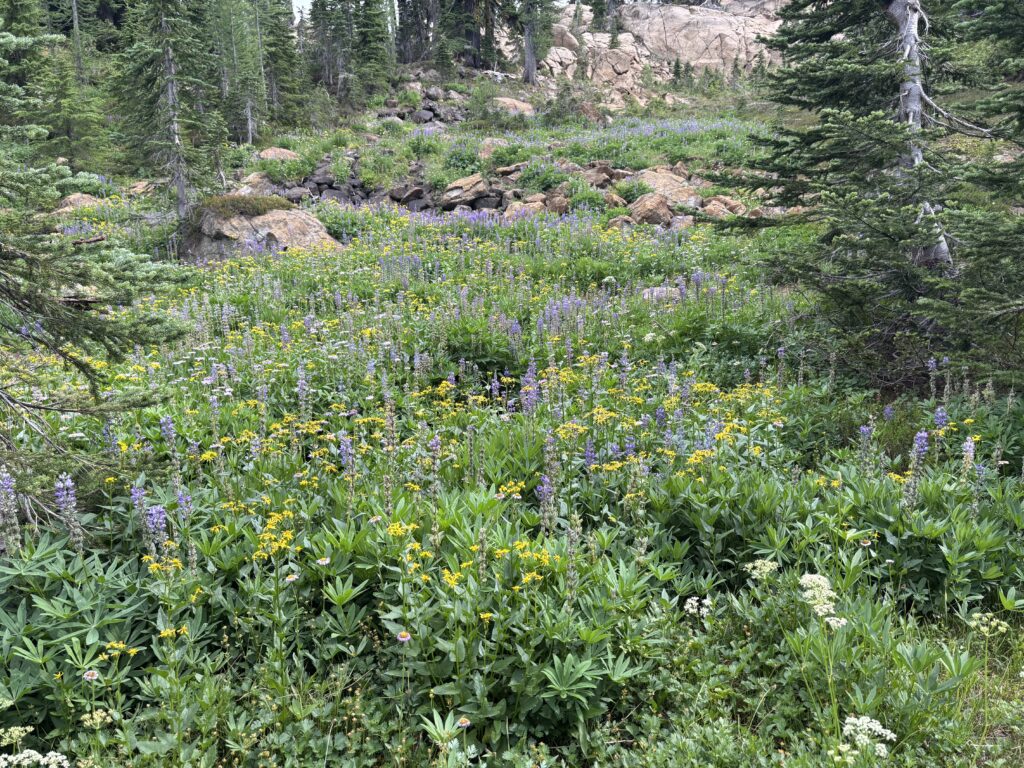
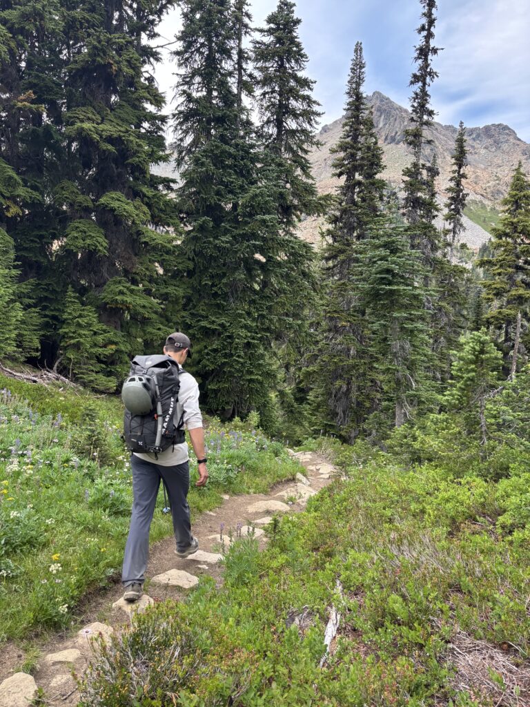
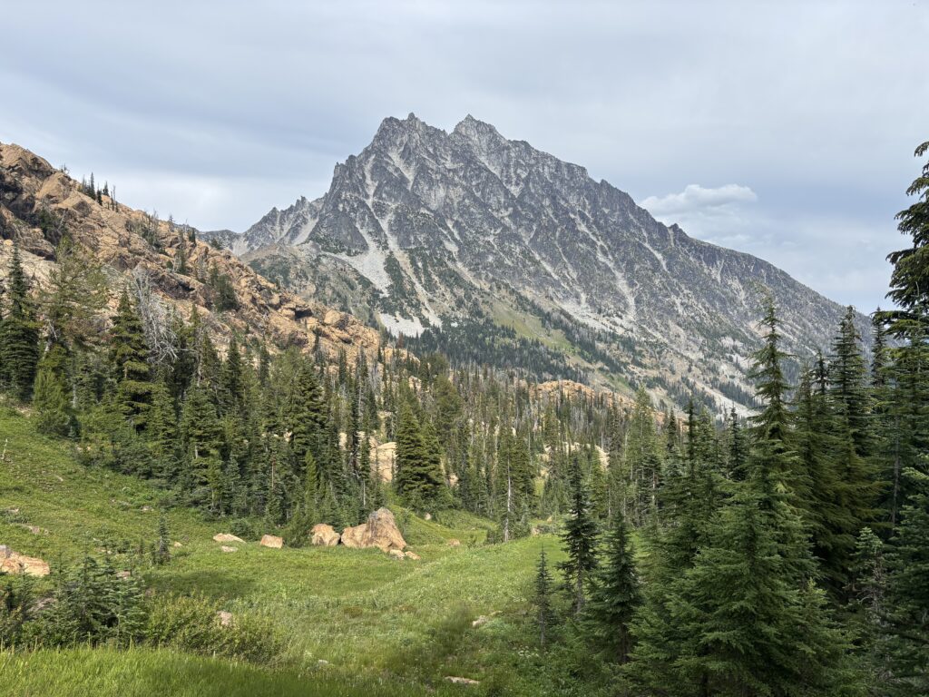
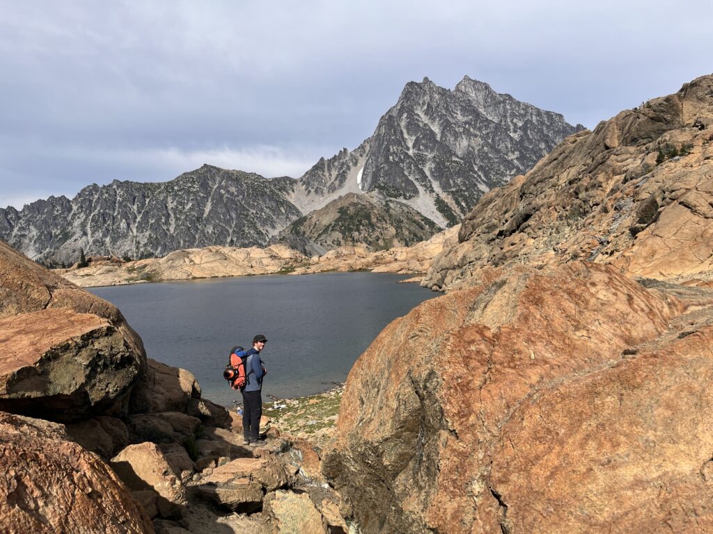
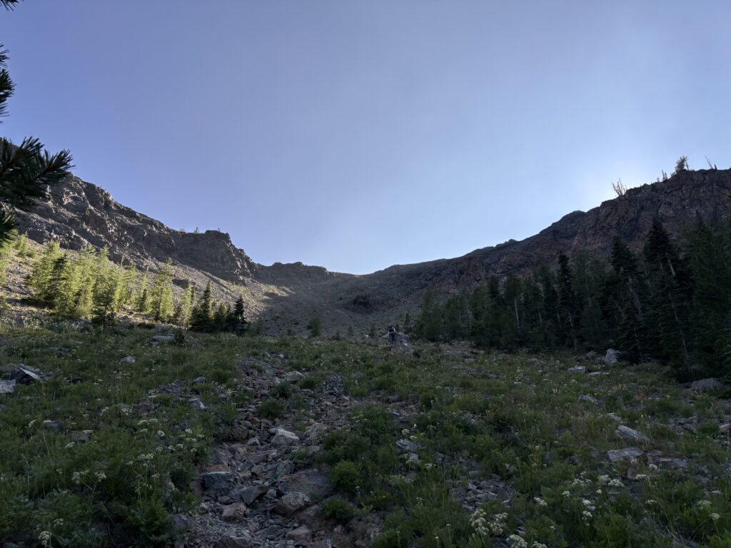
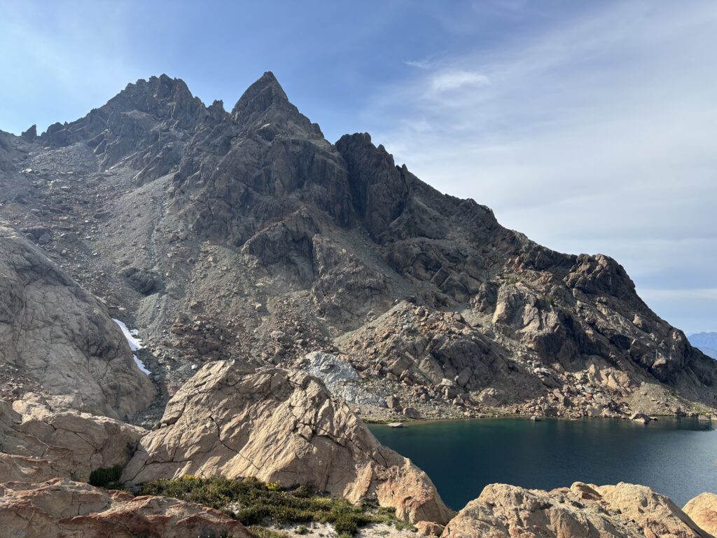
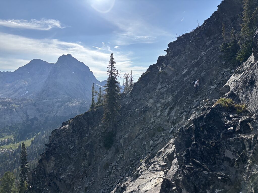
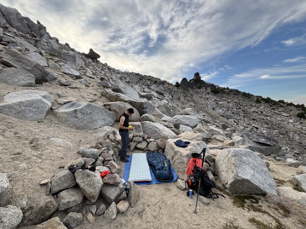
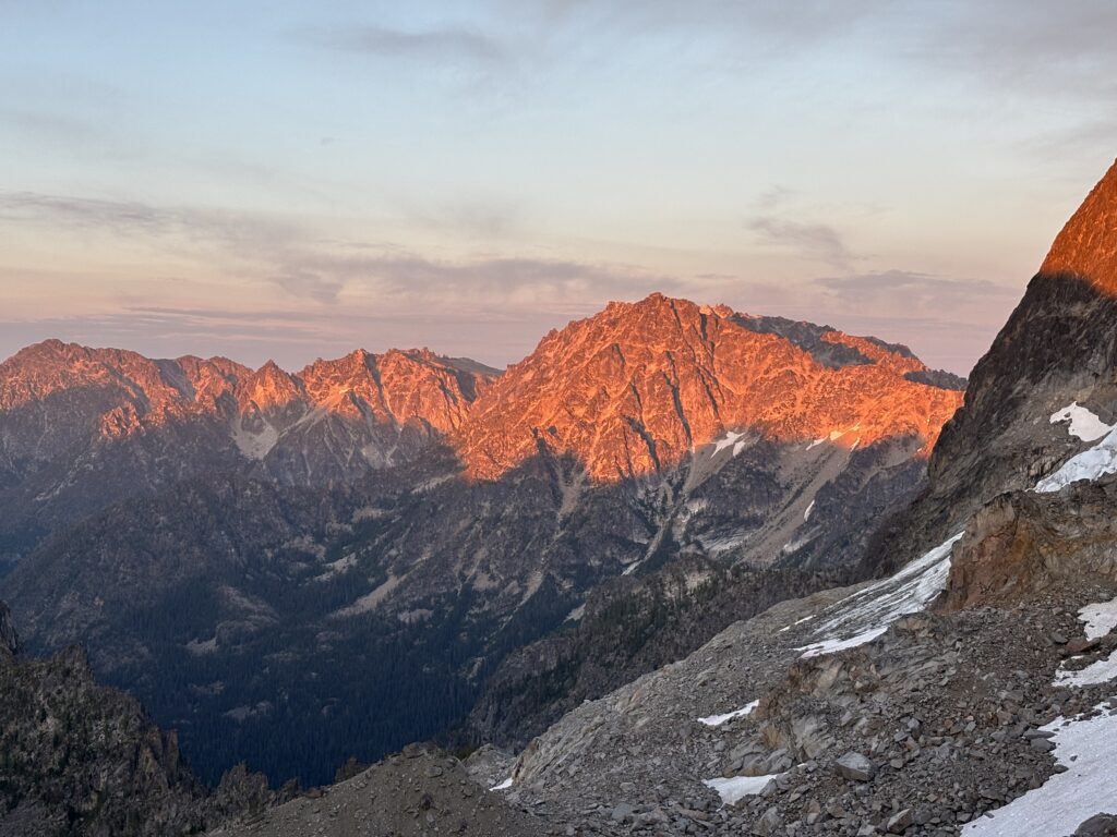
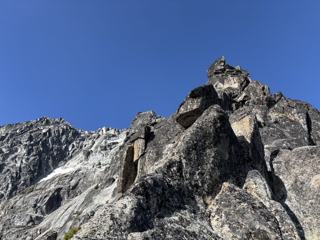
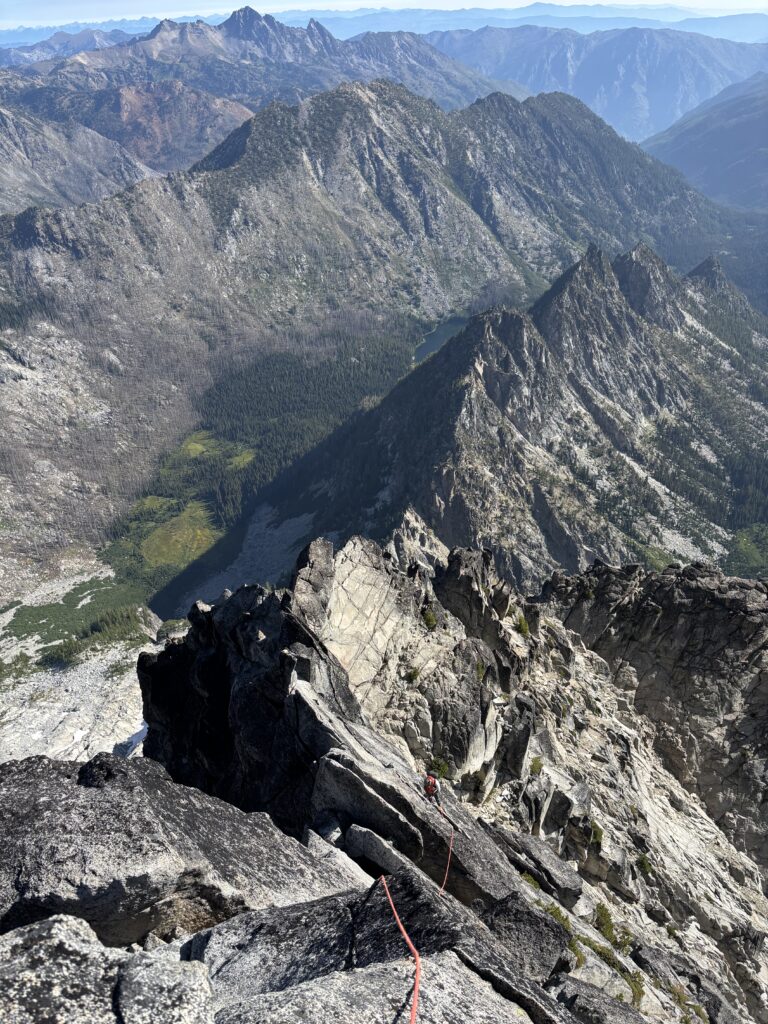
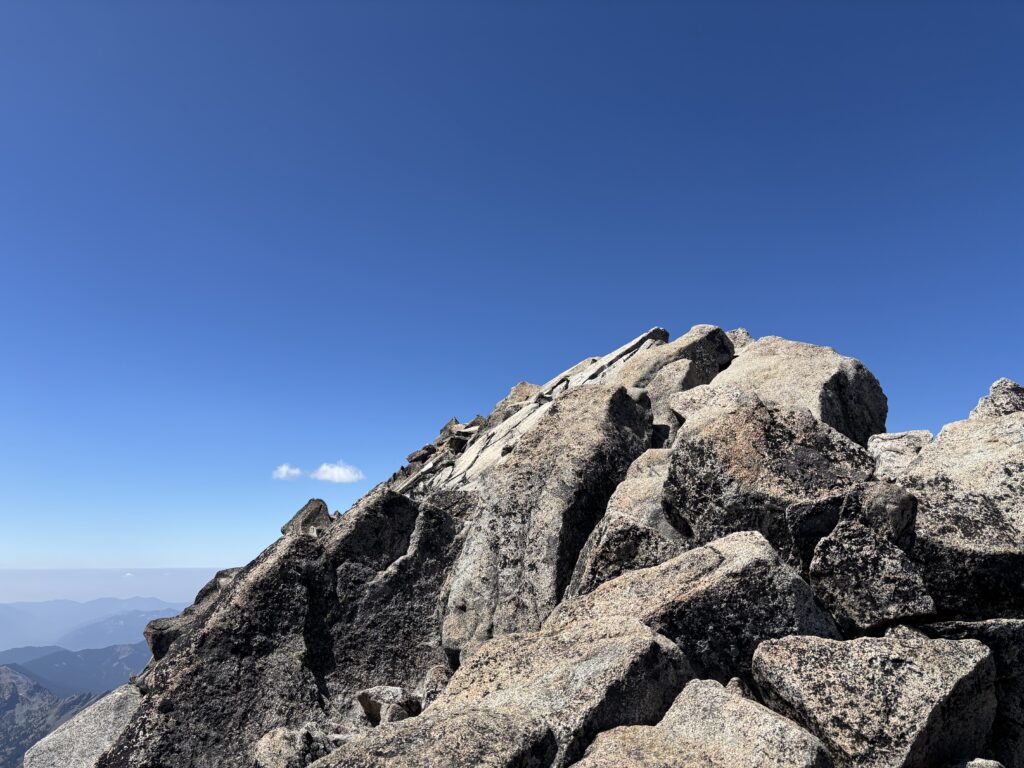
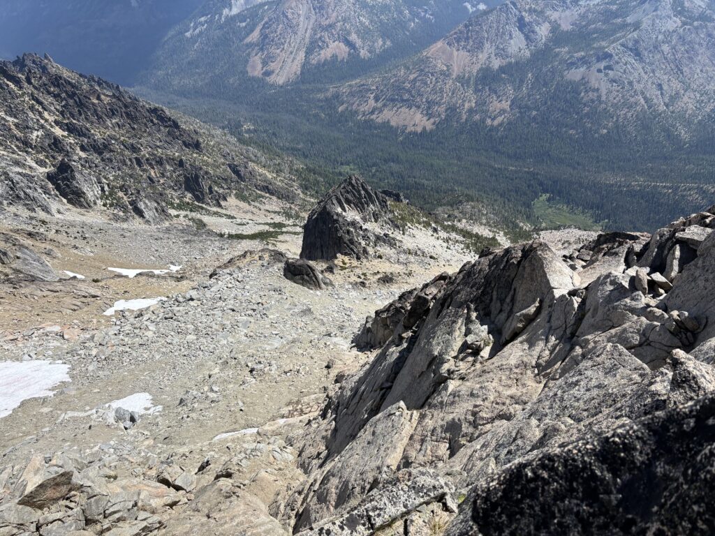
From the lake we contoured around the outer perimeter, a bit off trail and eventually joined back with the main trail to Stuart Pass. At the past we continued north to the base of Stuart and then followed a climbers trail up to Goat Pass. This was our first view of the north ridge and it looked fantastic. We had heard of a “Talus Palace” to bivy below the ridge, but the exact whereabouts weren’t super clear. From our vantage there weren’t any suitable camping spots near the base of the ridge that wouldn’t pose some sort of rock fall hazard. We could see another party high up on the ridge as well so there was little desire to camp underneath them. In any event Goat Pass had ample bivy spots with spacious sandy alcoves to set up on. I’d call this premium by any standards and we quickly found a perfect spot just down the ridge.
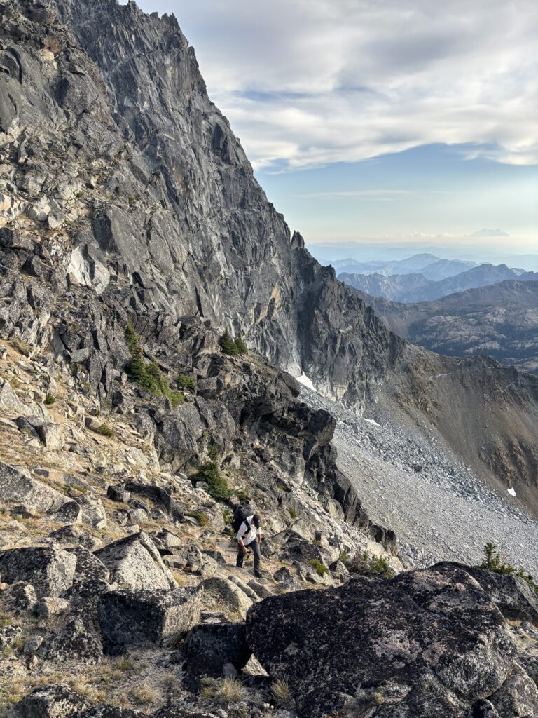
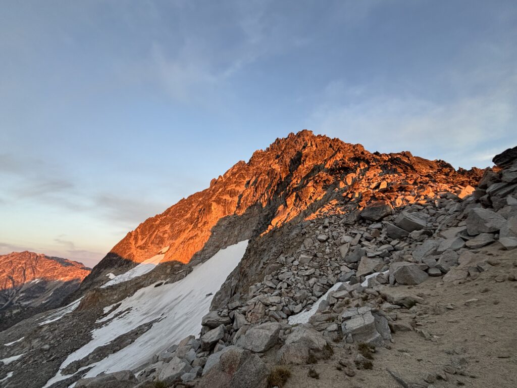
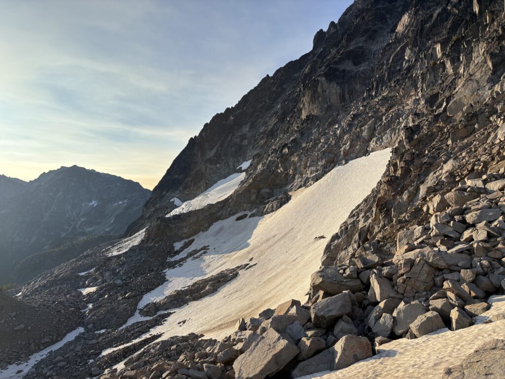
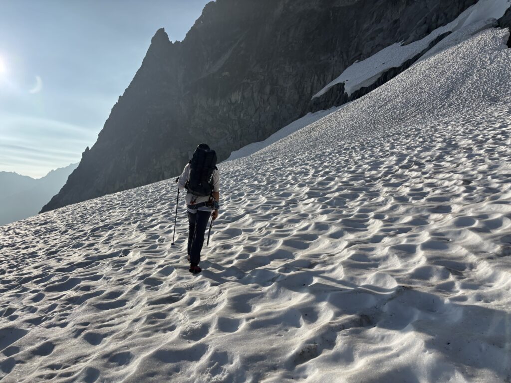
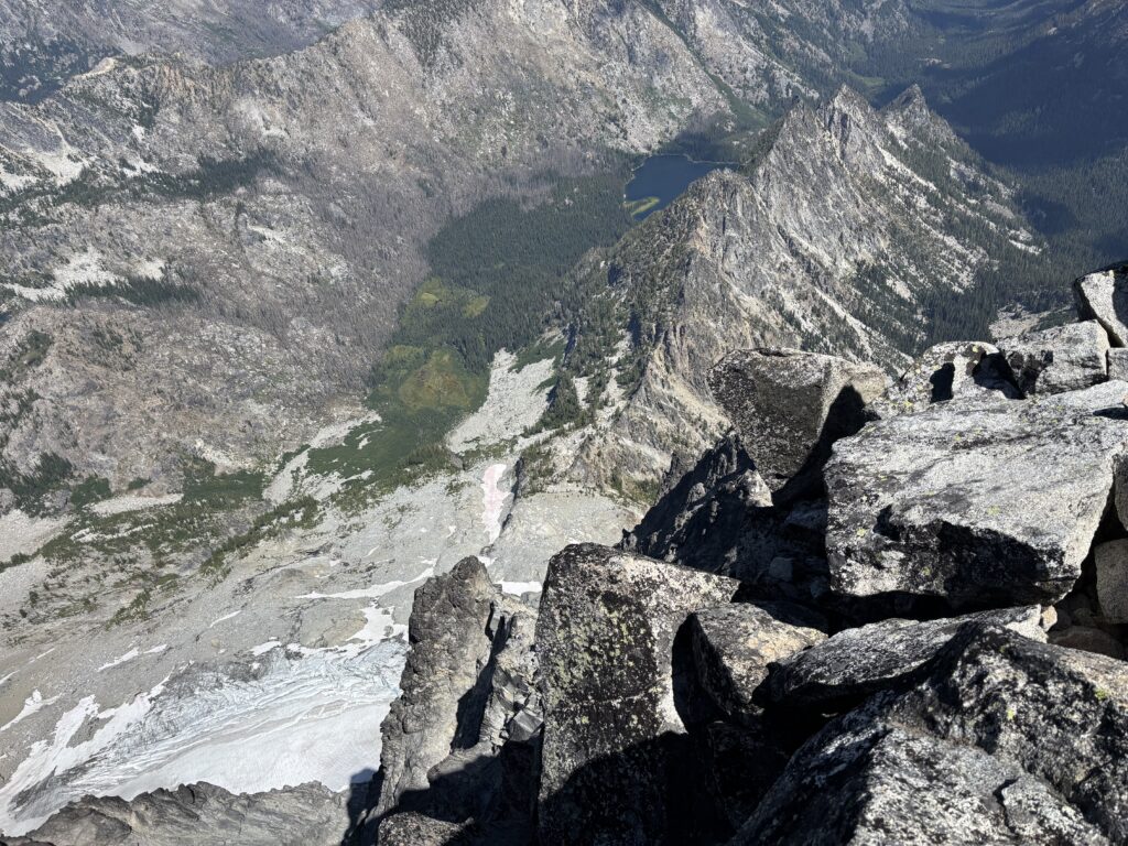
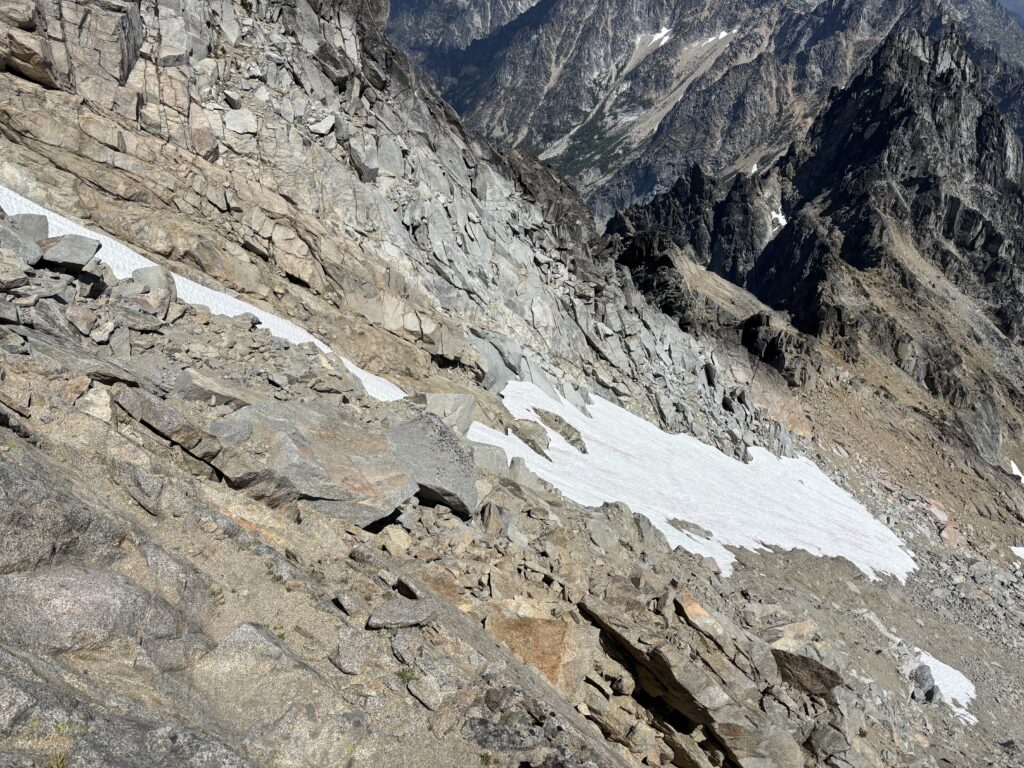
We settled in for the night and admired the sunset over the enchantments. At 6am the alarms went off and we packed up and started our way across the glacier. To save weight we had skipped out on crampons, settling for microspikes instead. This necessitated some careful traversing across the firm snow, but we managed. We aimed for the obvious gully up to the ridge and had one tricky snow bridge to cross to reach the rock.
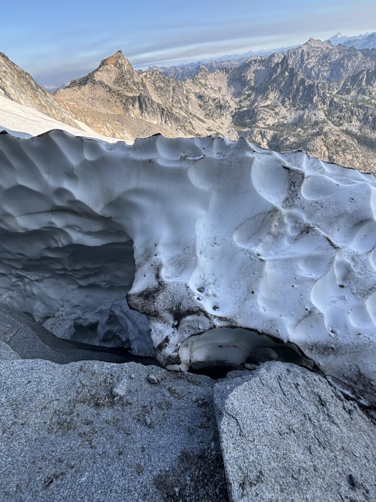
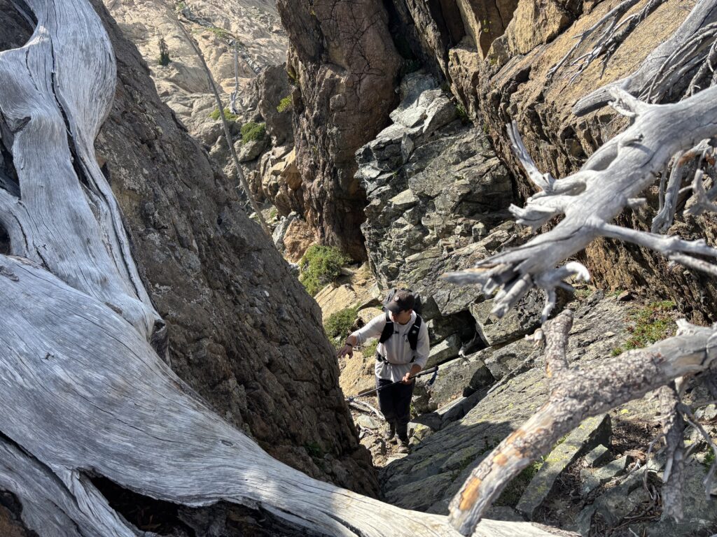
Now on the rock we scrambled up 3rd and 4th class terrain up to the top where a few 5.6 moves guarded the top out. Above the gully we discovered the actual location of the Talus Palace. Numerous cramped bivy spots were clustered along the ridge here. I was thankful to have camped where we did and honestly can’t say I’d recommend this spot; save for the experience of it.
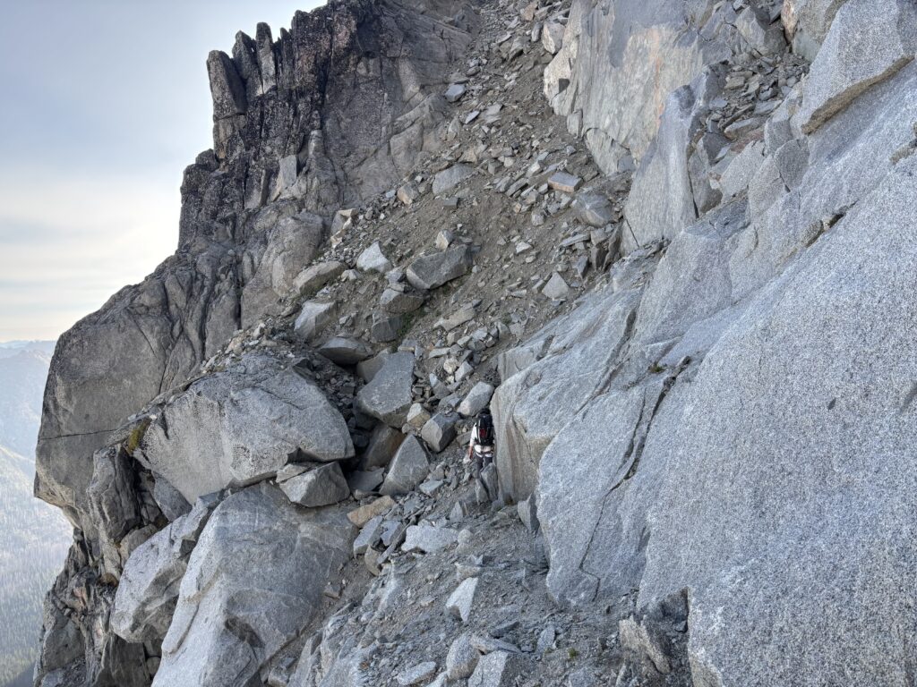
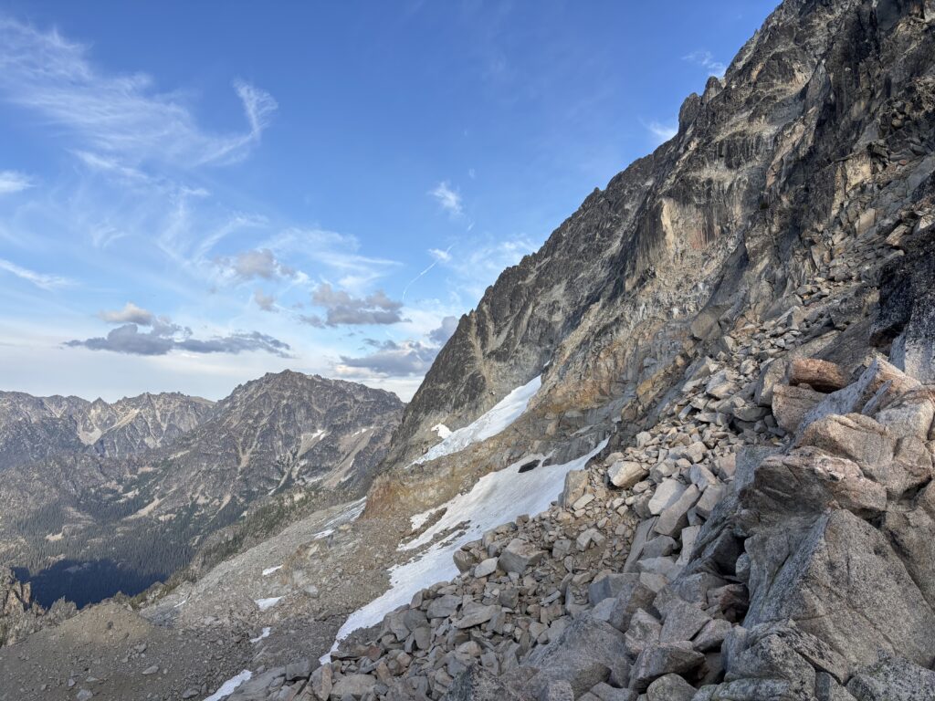
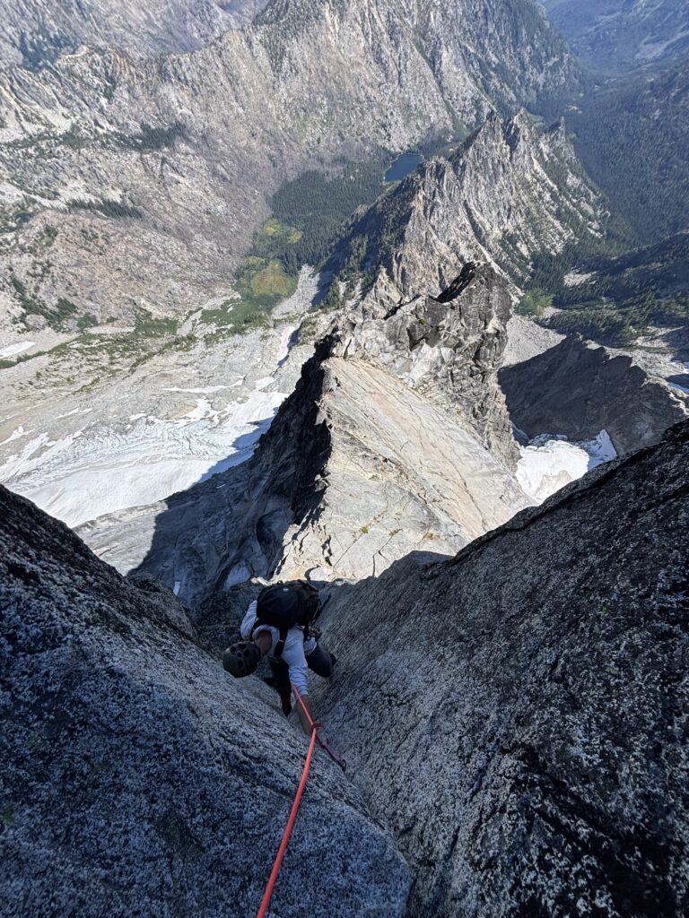
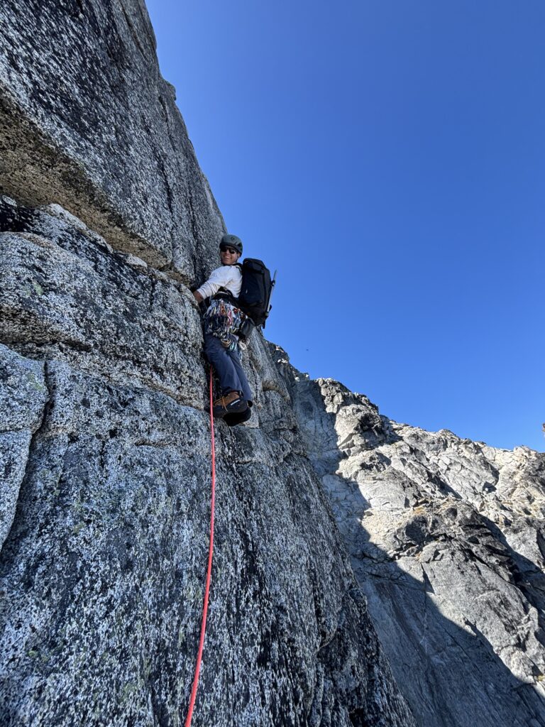
The terrain looked straight-forward to start so we opted to simul climb as far as we could make it. I took the first lead and we probably reached within 5 pitches of the crux gendarme (a two pitch 5.9 section and the crux of the route). Near the end there was one perhaps 5.8 section that I asked for a proper belay on and otherwise we simuled everything. Brayden took the next block and lead us across the famous knife edge ridge and up to the base of the gendarme.
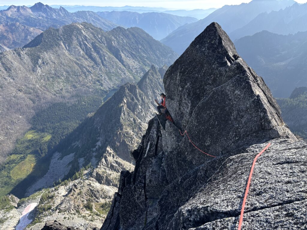
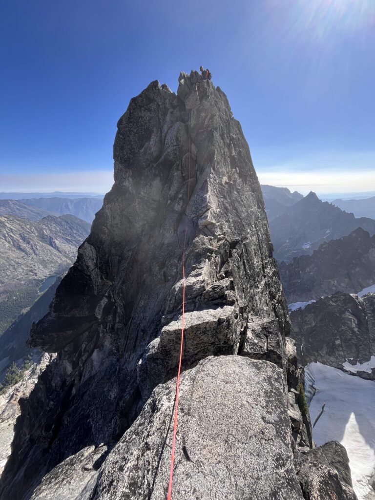
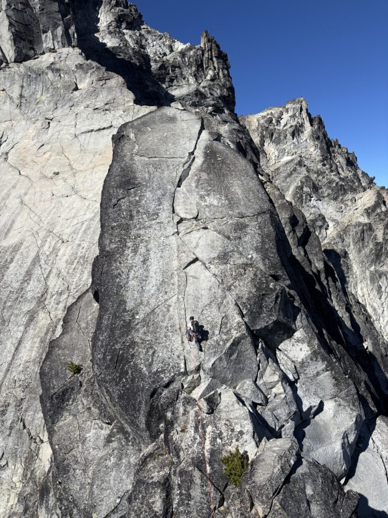
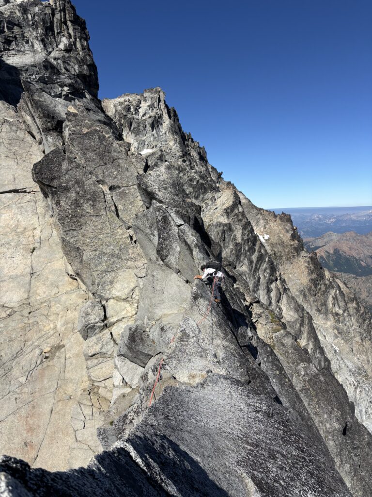
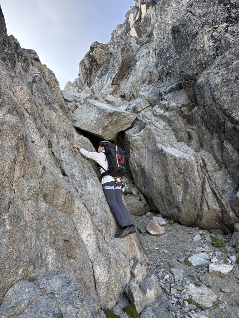
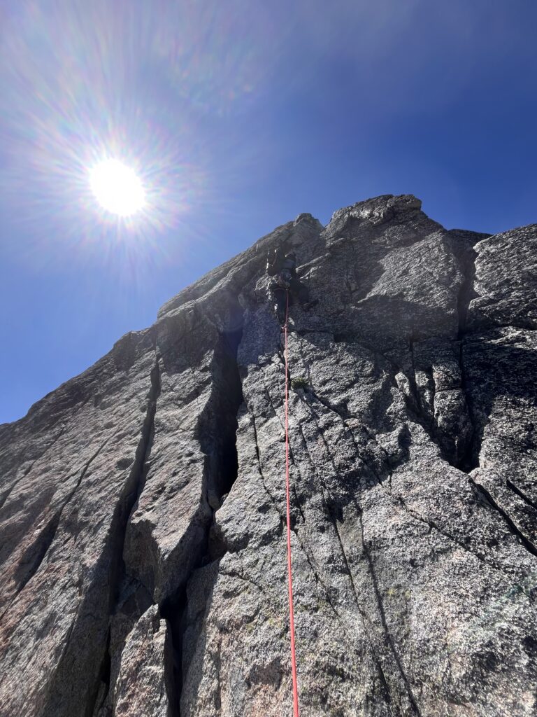
I took the first pitch and found superb crack climbing up through a bulge and then into a steep dihedral. You could fit as many or as few pieces as you wanted in there! I topped out on a pedestal and then Brayden took the next lead up the off-width. That landed us above a sort of notch where it wasn’t super clear to go. We should have gone climber’s right at this point to the base of a gully, but instead we stuck to the ridge crest and had to do one short rappel to get back down into the notch.
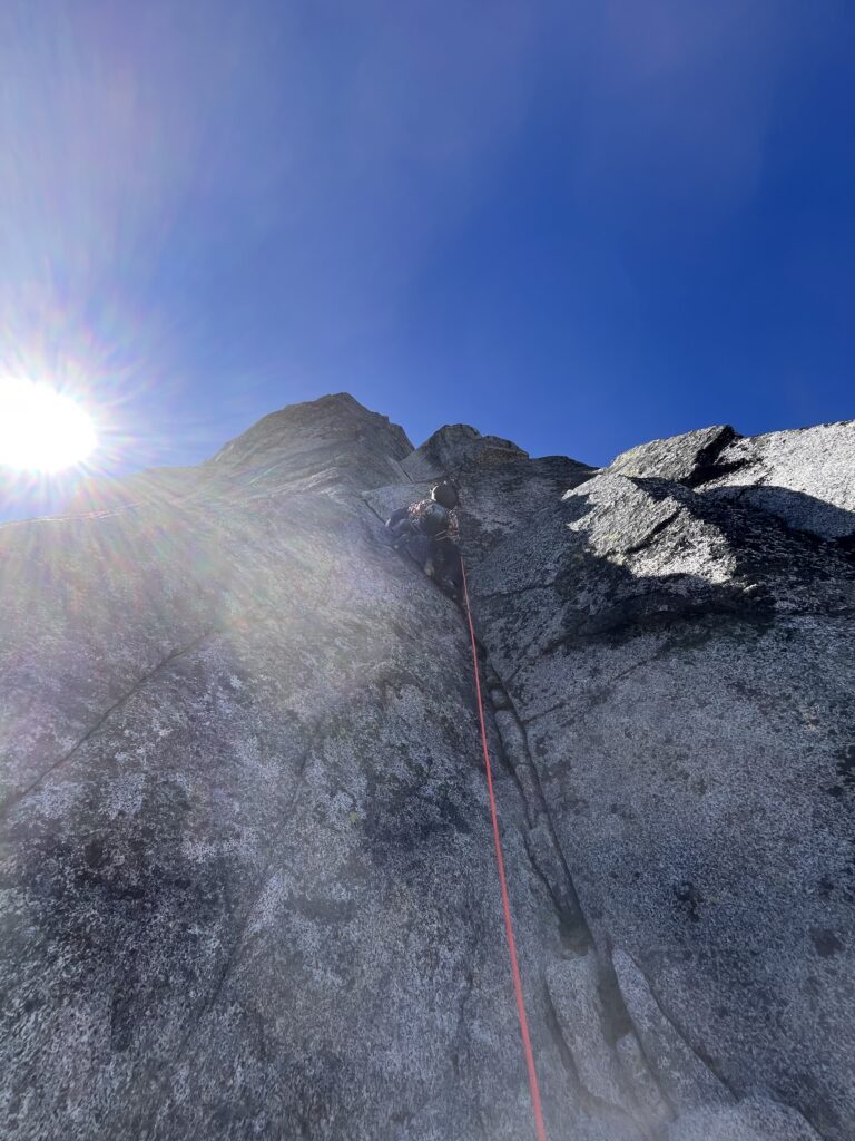
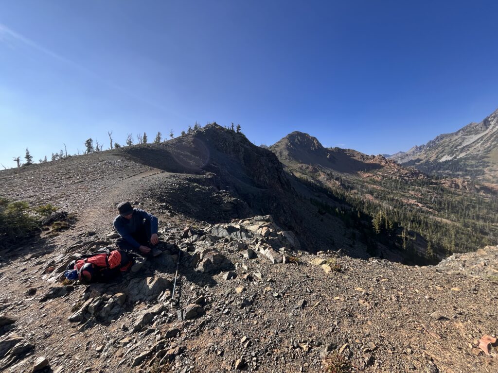
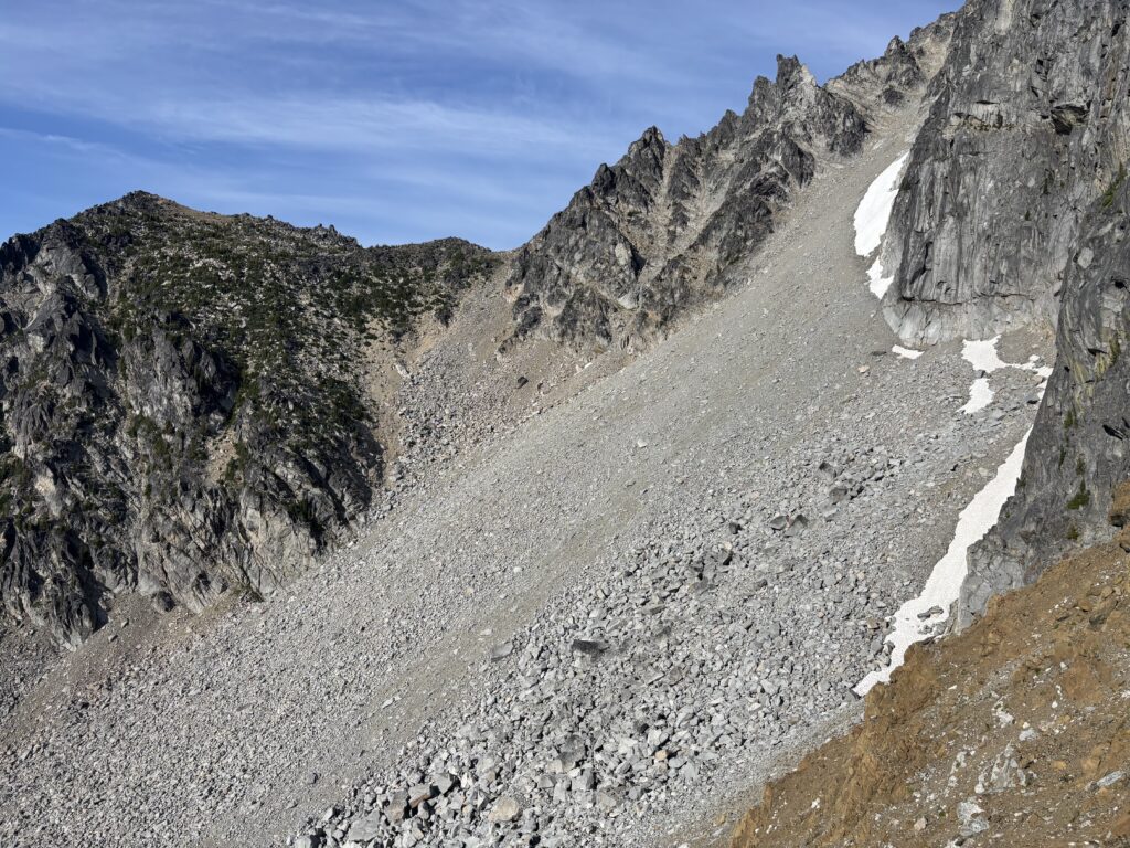
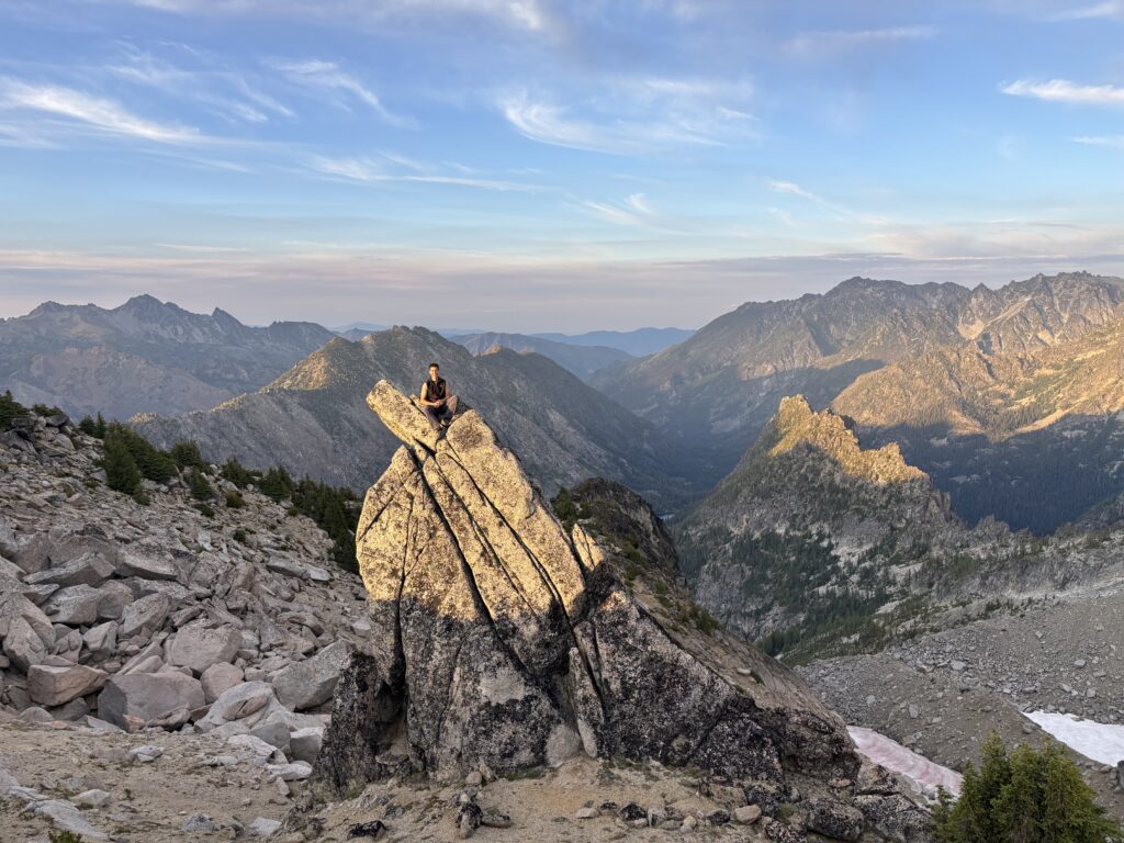
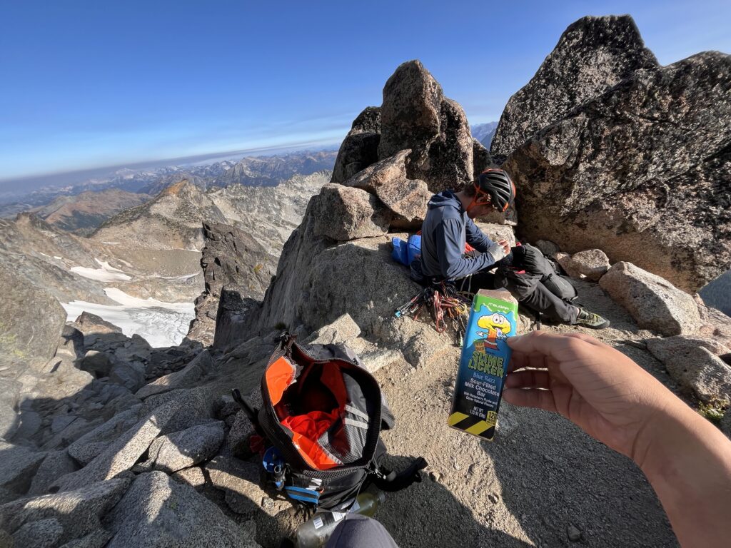
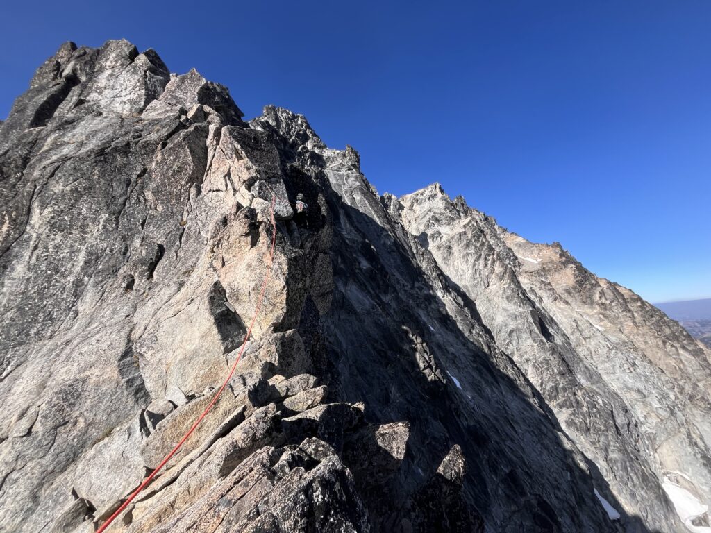
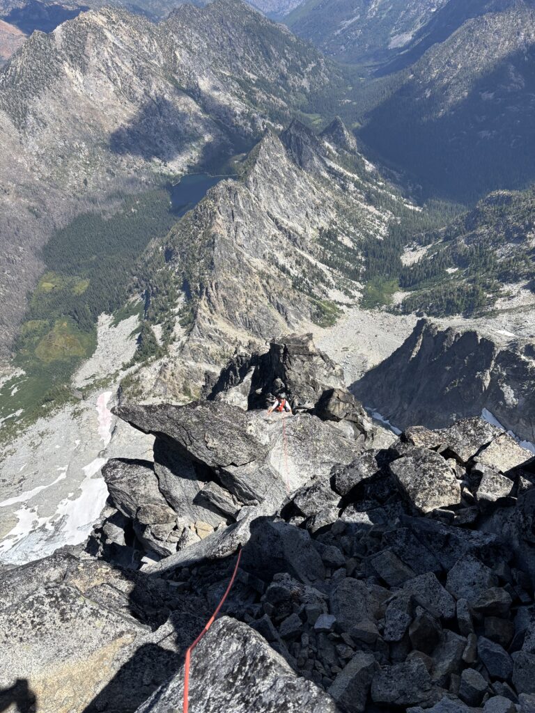
More simuling took us to one final 5.8 pitch that I lead up without issue and then we arrived at the summit! We hung out for awhile, satisfied with a phenomenal outing. Eventually it was time to see what this cascadian couloir was all about. We headed south along the ridge following cairns and crossing one of a dozen bivy spots on the summit. It was almost comical how many sleeping areas we had encountered at this point. At one point we dropped to far down and missed a key part of the ridge to get to the couloir entrance, so we hiked up 50 meters and found the right spot. Some 3rd class scrambling took us down to a large talus bowl and we crossed west to reach the top of the couloir. Several parties were on the way down too so we had no issue locating the entrance.
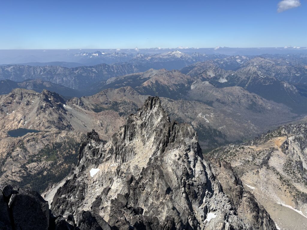
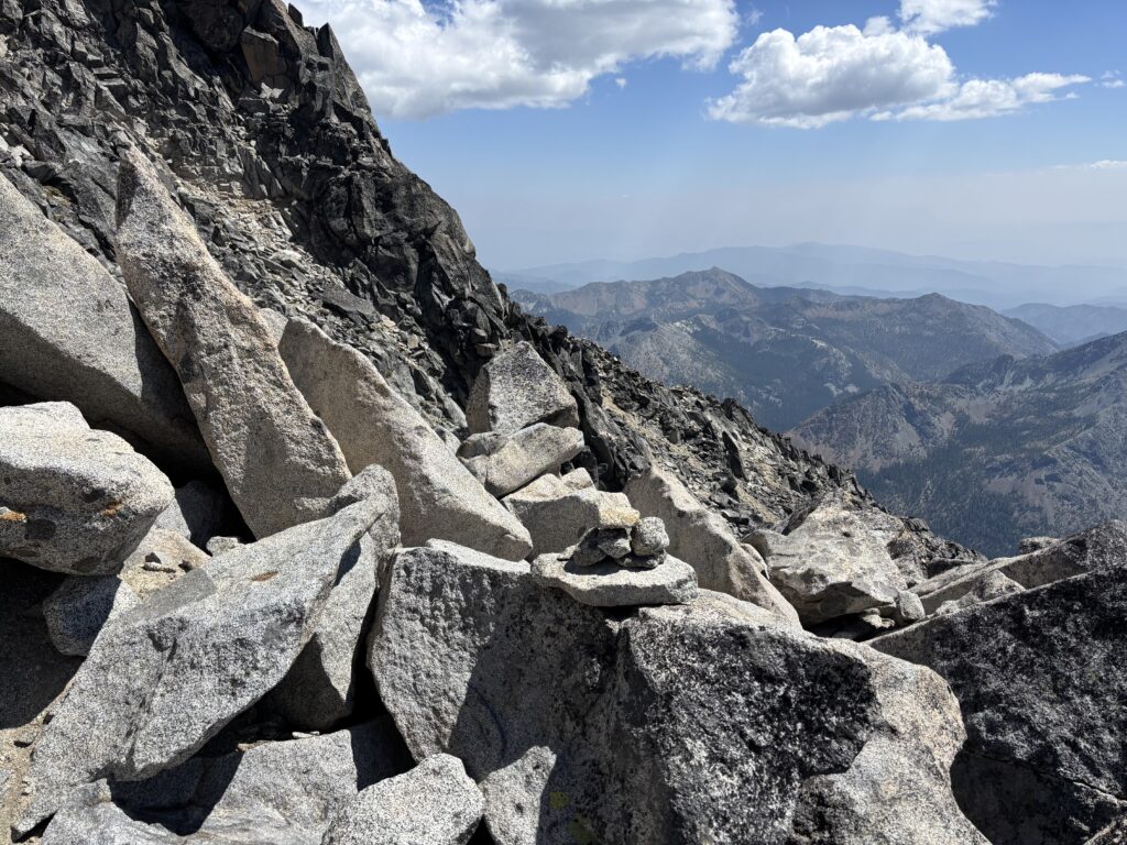
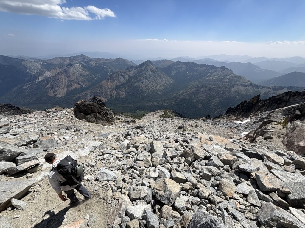
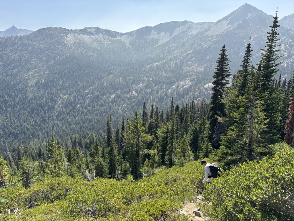
To our surprise the couloir was almost all sand and scree and we made great time to the base. Now we made our way up the trail to Longs Pass and then back to the car for 6:30pm or so. All told a fantastic outing on superb rock and a very well maintained approach. Certainly a well earned classic status.